Scandrett Regional Park's Coastal Tracks
Scandrett Regional Park, on the Matakana Coast of Auckland, is a fantastic destination for exploring scenic coastal tracks. The park features several interconnected trails, including the Kawau Bay, Mullet Point, and Orchard Tracks, which together form a loop around the park's coastal edges. This walk takes approximately two hours and offers numerous picturesque spots for a picnic, whether you prefer the shade of trees or the open paddocks with expansive views.
Walking the Loop
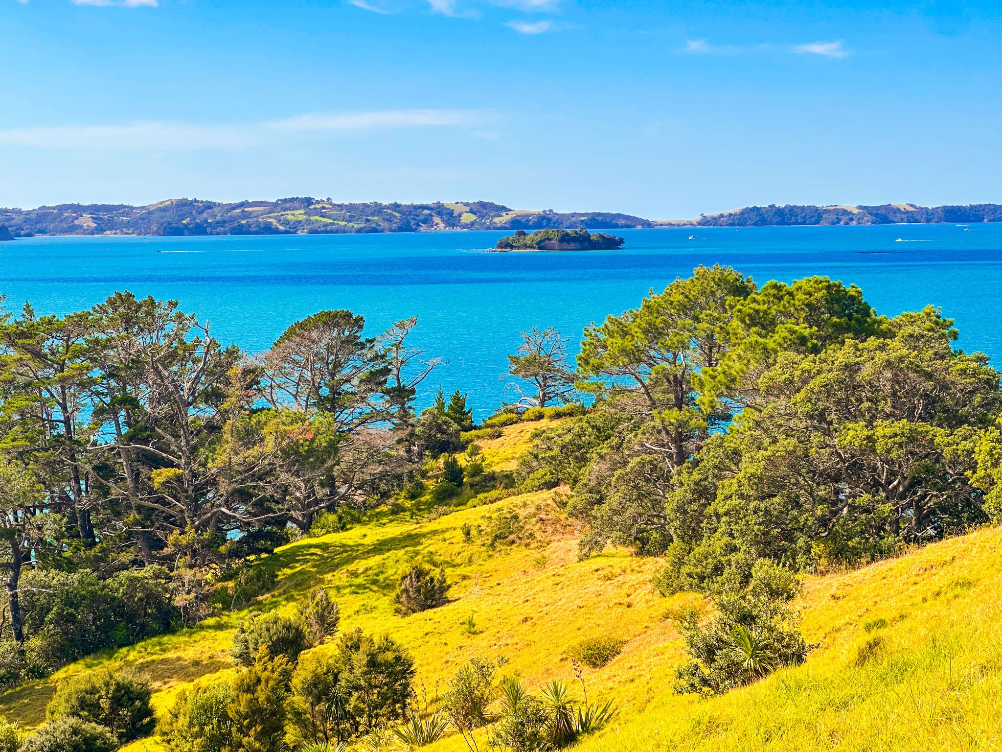
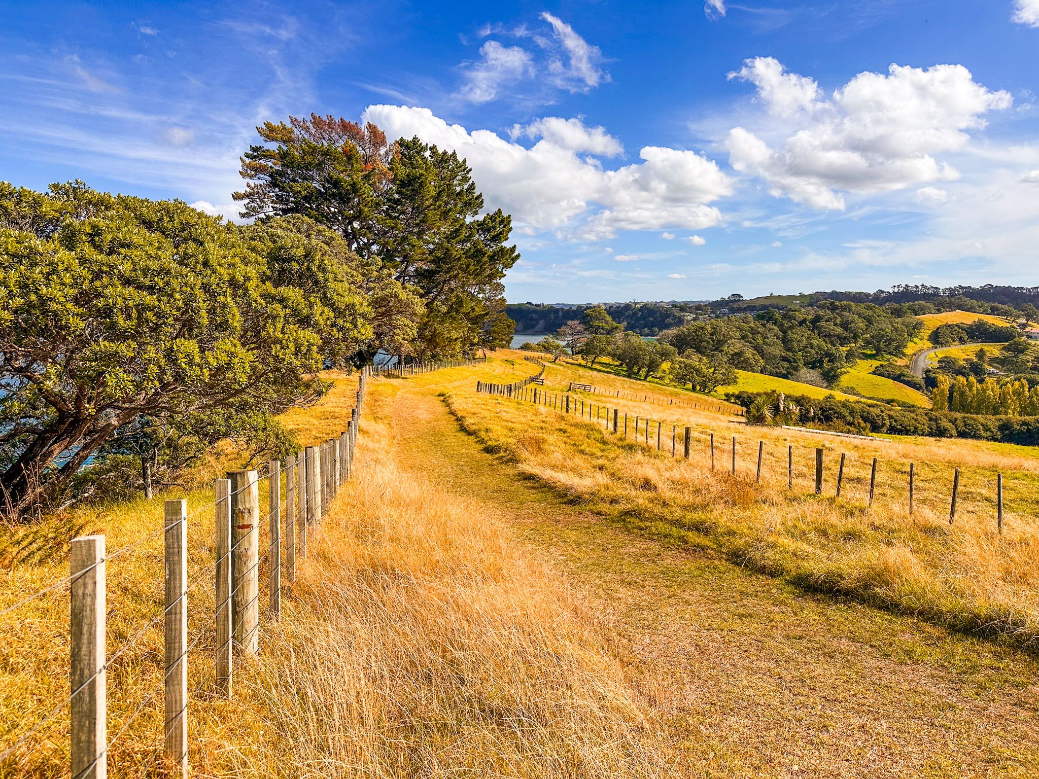
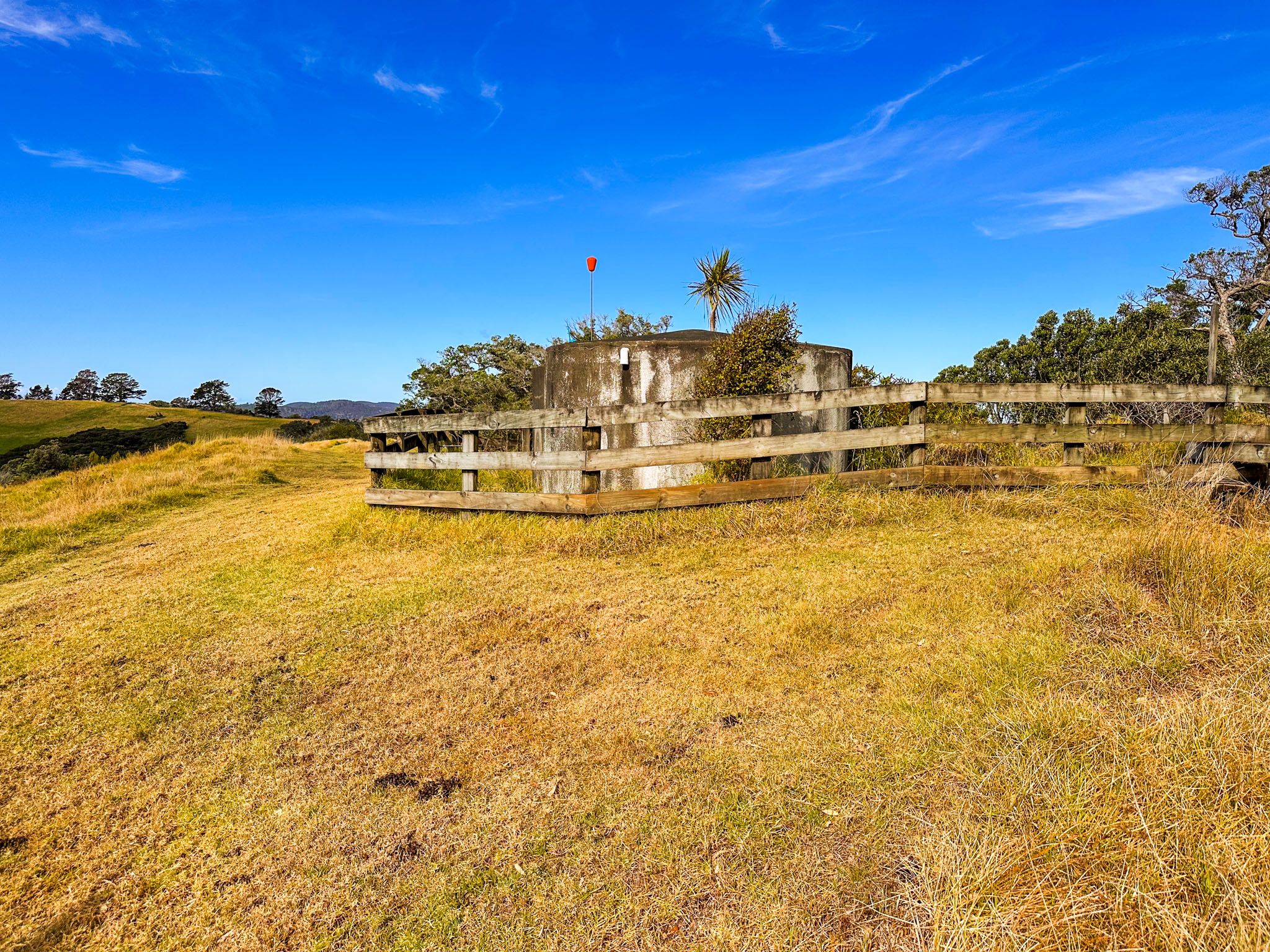
Begin your hike at the main car park in Scandretts Bay, near the historic house and farm buildings. From there, follow the marked track access between the toilets and the beach. This path leads you through paddocks on the park's northern side towards Mullet Point. The climb is about 50 metres, and the modest effort is rewarded with stunning views over Kawau Bay towards Tāwharanui as you approach the point.
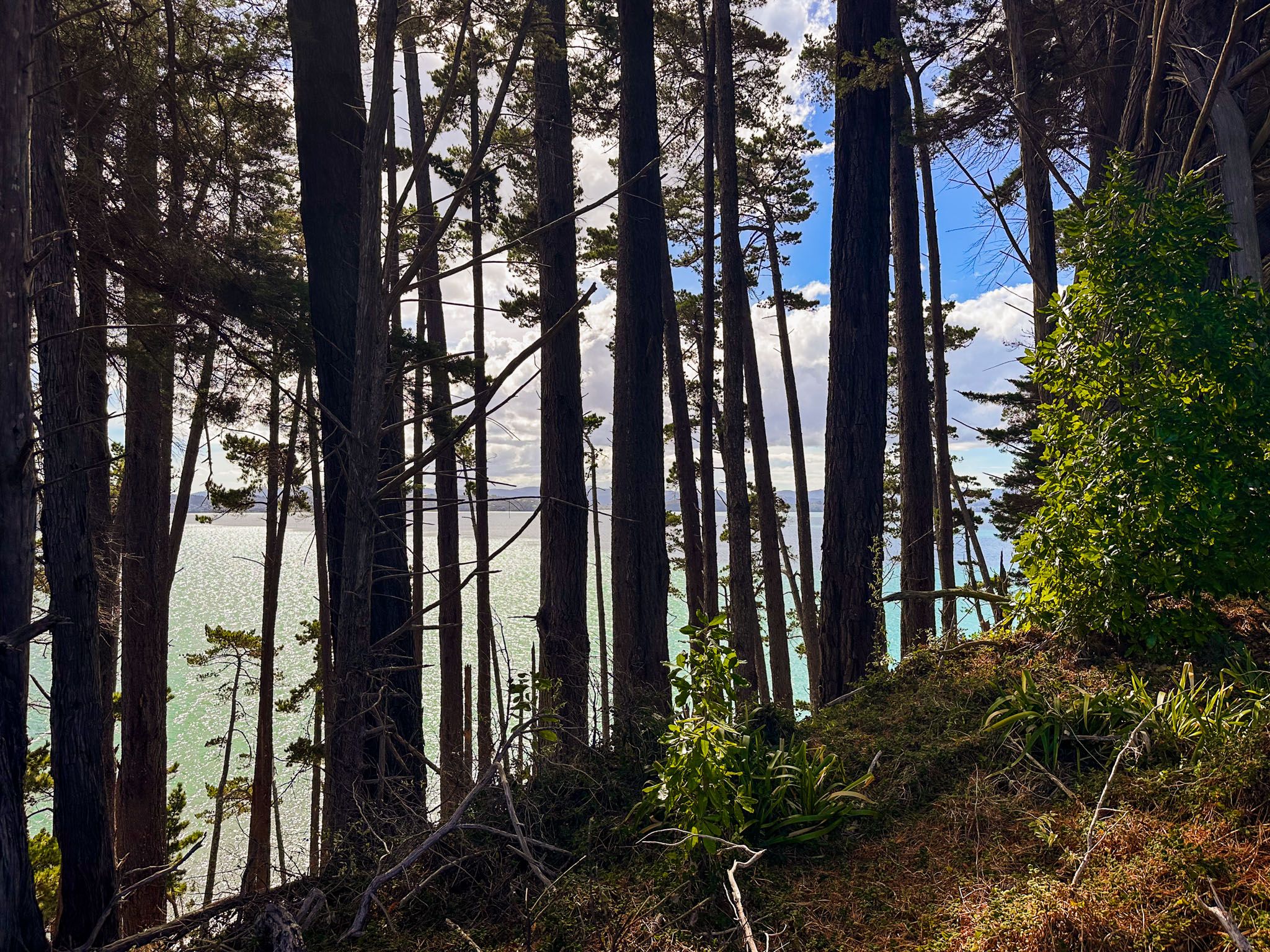
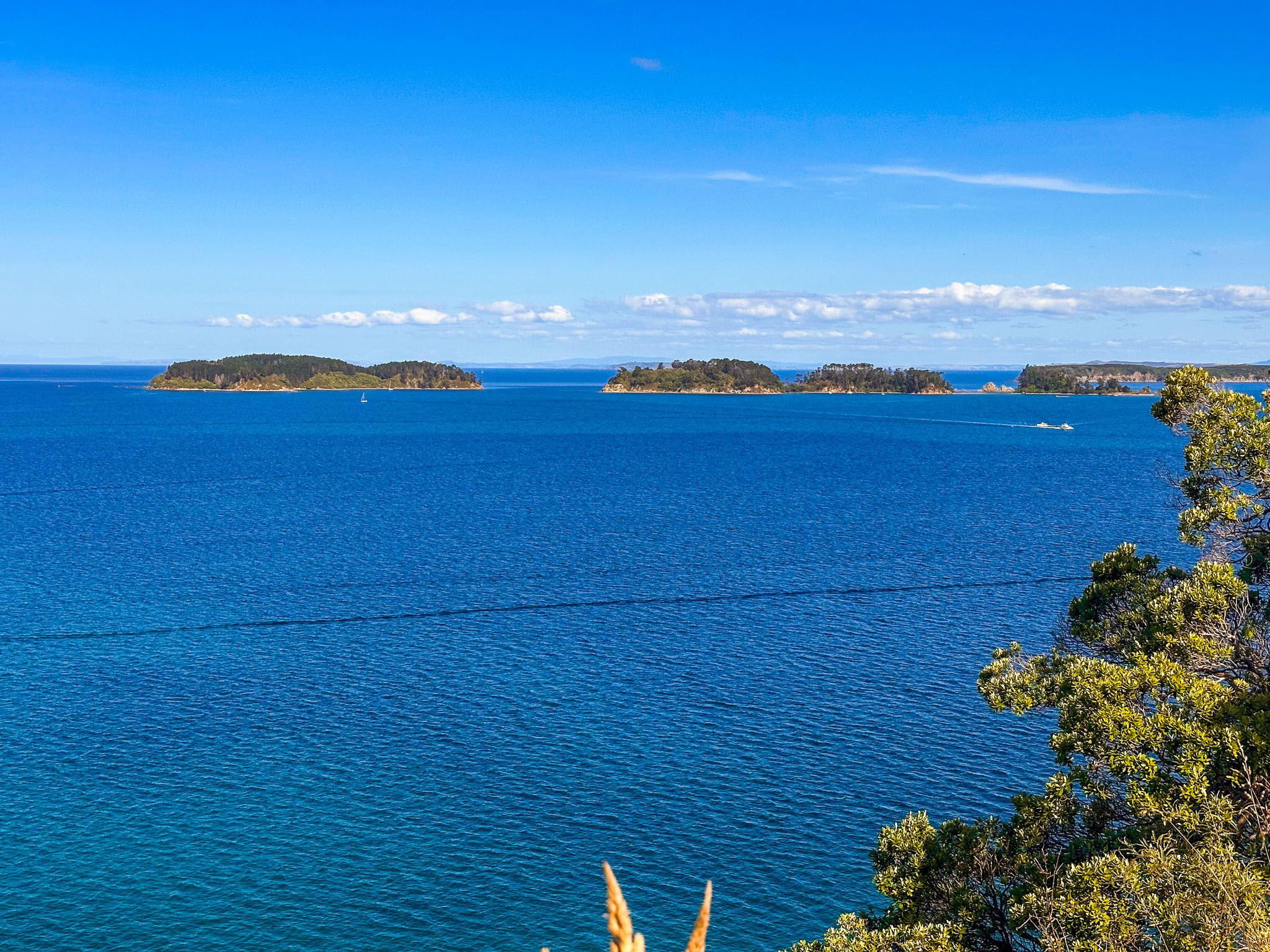
Continuing south along the cliff, the track is lined with a protective fence and some trees, which initially obscure the coastal views. However, as the trail veers west, the outlook improves, revealing vistas of Kawau Island, Motuketekete Island, Moturekareka Island, Motuora Island, and the Whangaparāoa Peninsula, as well as Martins Bay.
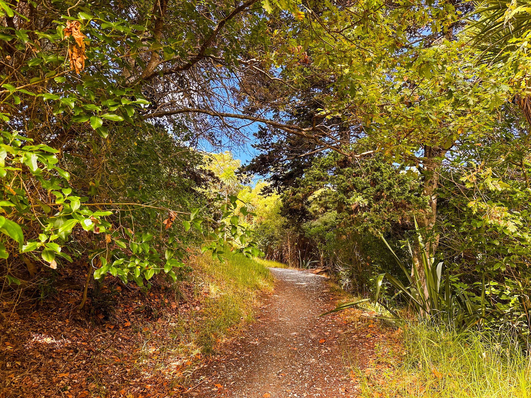
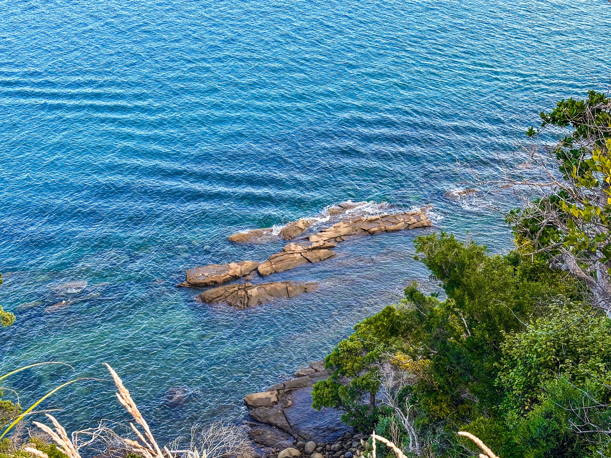
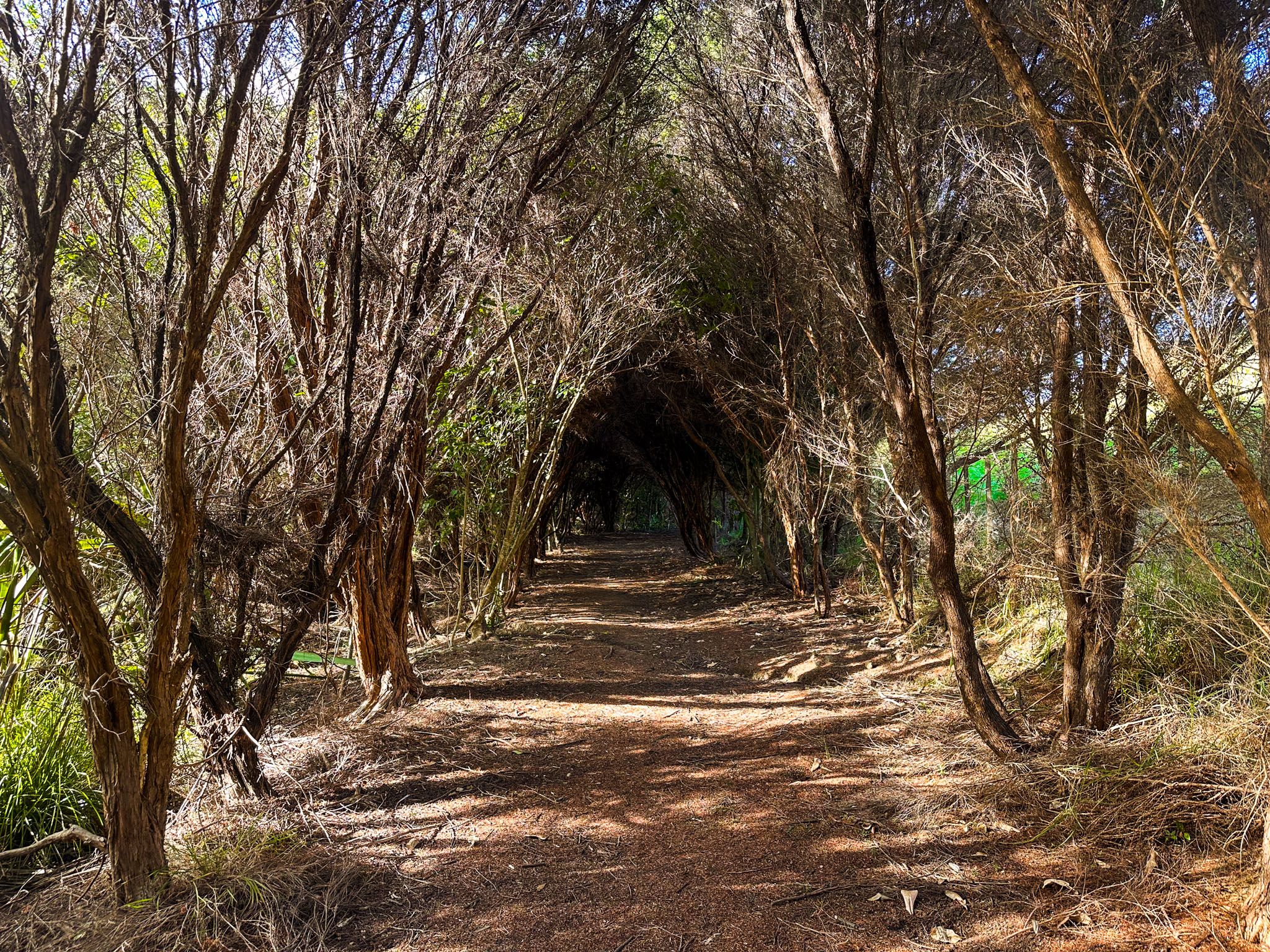
The track in this section is more wooded, featuring interesting old gnarled pōhutukawa, native regrowth, and exotic trees. Be cautious, as the cliff is more exposed in a few areas.
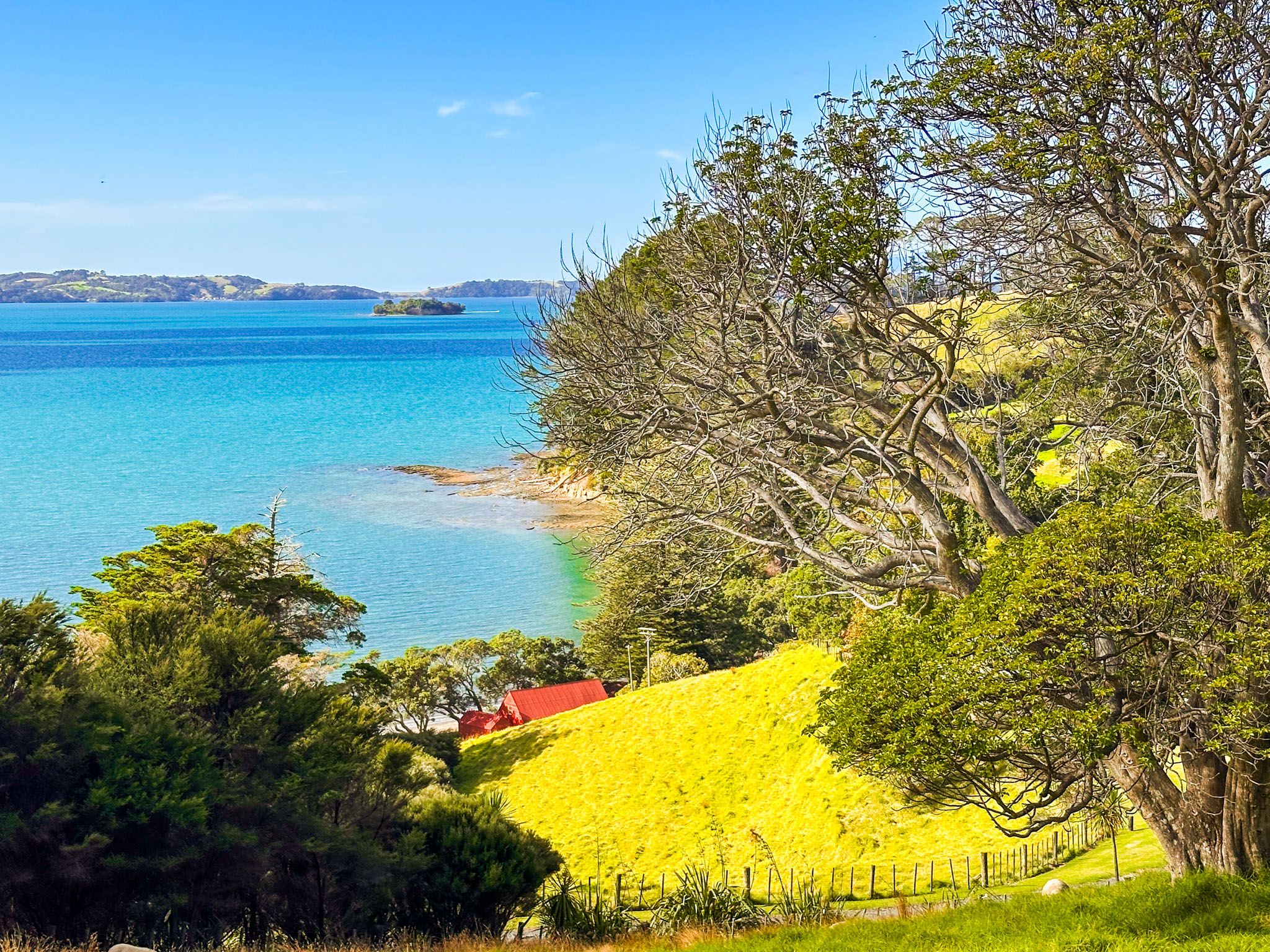
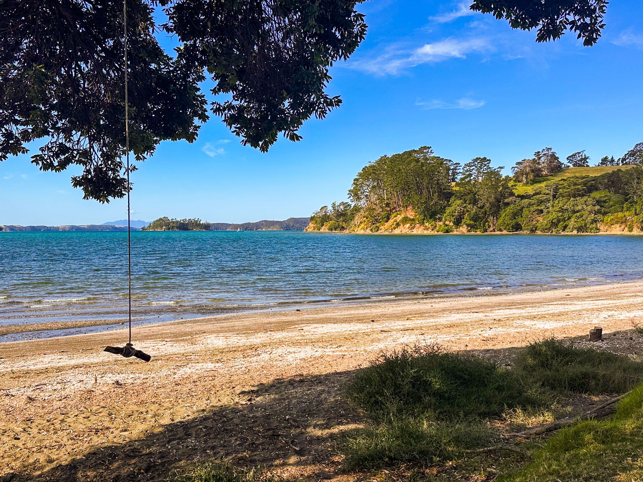
Continue east to the upper car park near the access to the short Martins Bay Track. Cross the car park to find another track section leading to the west end of the beach at Scandrett Bay, close to the park's baches. You can return along the beach or via the bach access road to the farmhouse, buildings, and main car park.
Shortening Your Walk
If you prefer a shorter walk, you can reduce the time to about an hour by taking the signposted Pigsty Track from the south side of the loop back to the main car park. Despite its name, this track is well-maintained and provides a shortcut.
Getting to Scandrett Regional Park
To reach Scandrett Regional Park, head north from Auckland on State Highway 1. Take the exit towards Warkworth, then follow signs to Snells Beach on the Mahurangi Peninsula. From there, continue on Mahurangi East Road until you reach the park entrance. The main car park is located near the historic house and farm buildings, where your walking adventure begins.
Nearby, you can also explore Matakana, Tāwharanui Regional Park, Ōmaha and Mahurangi Regional Park.