Discover Snells Beach
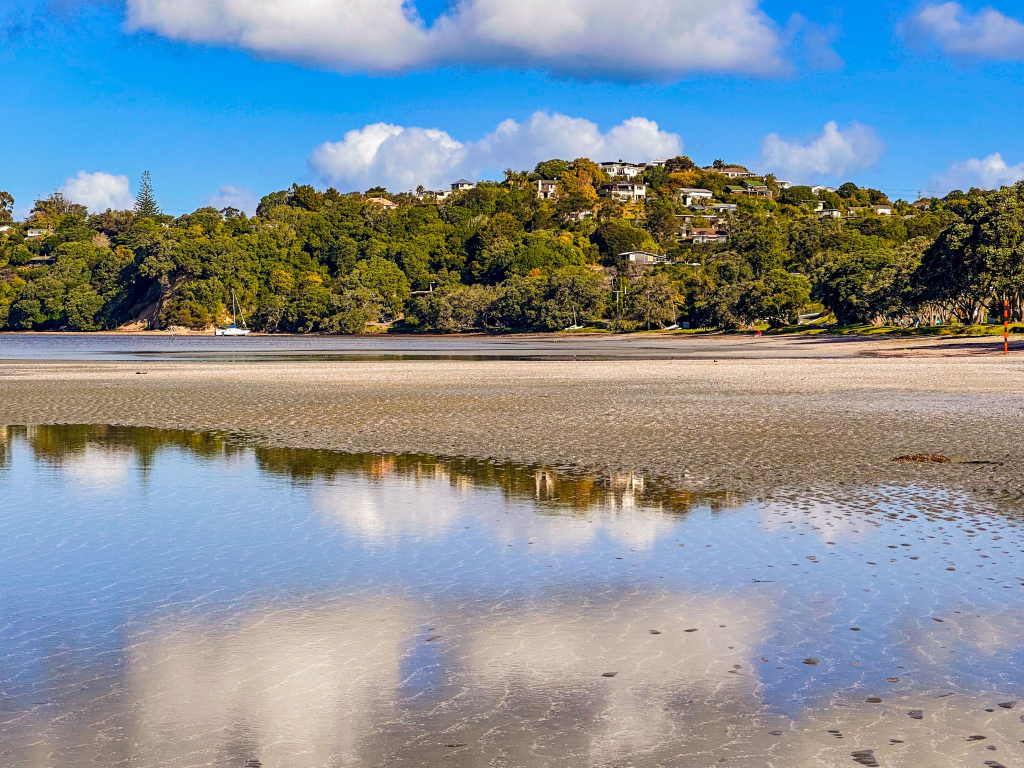
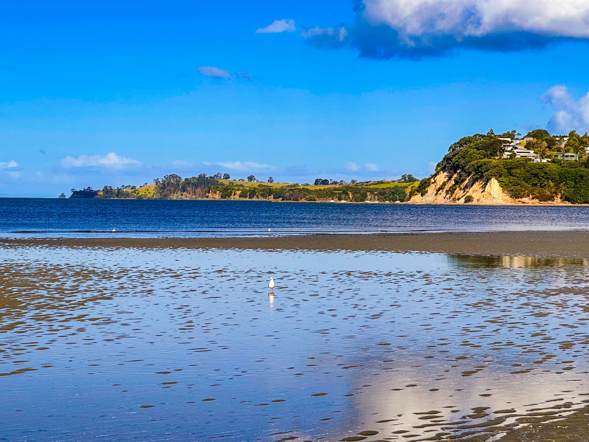
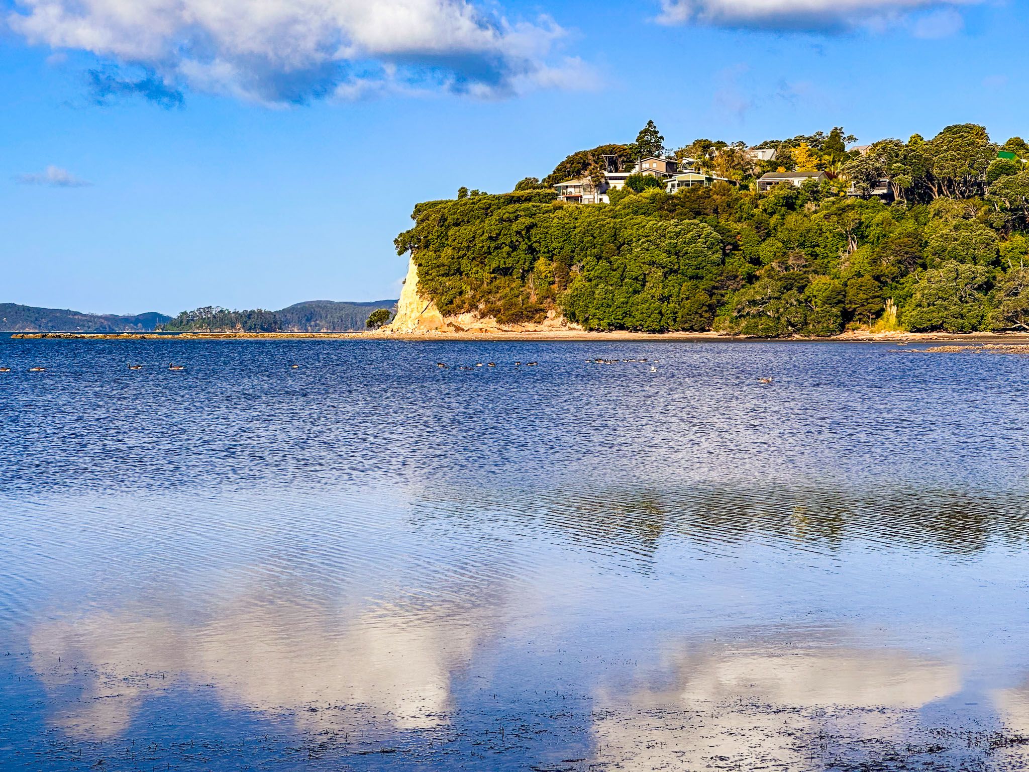
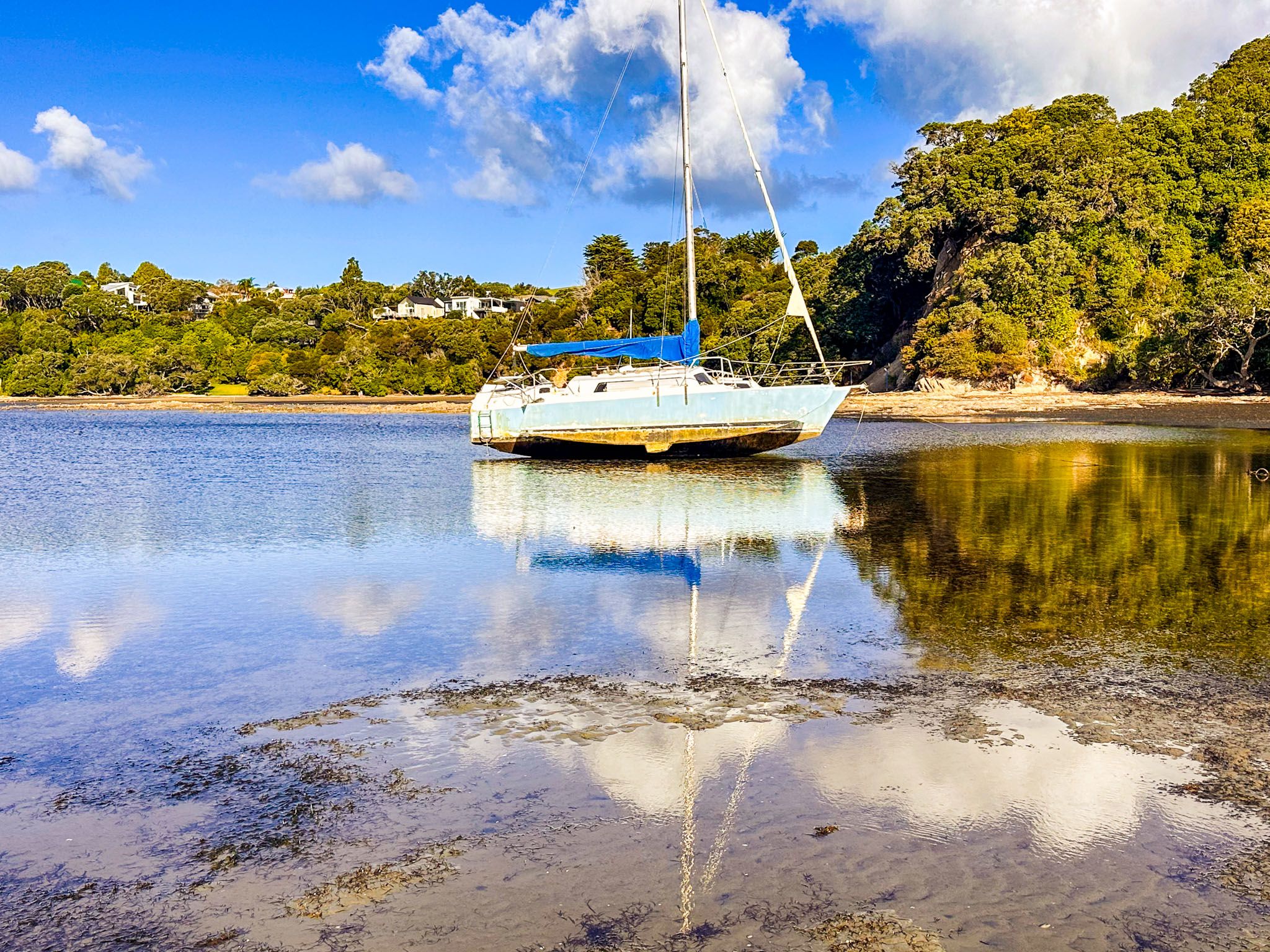
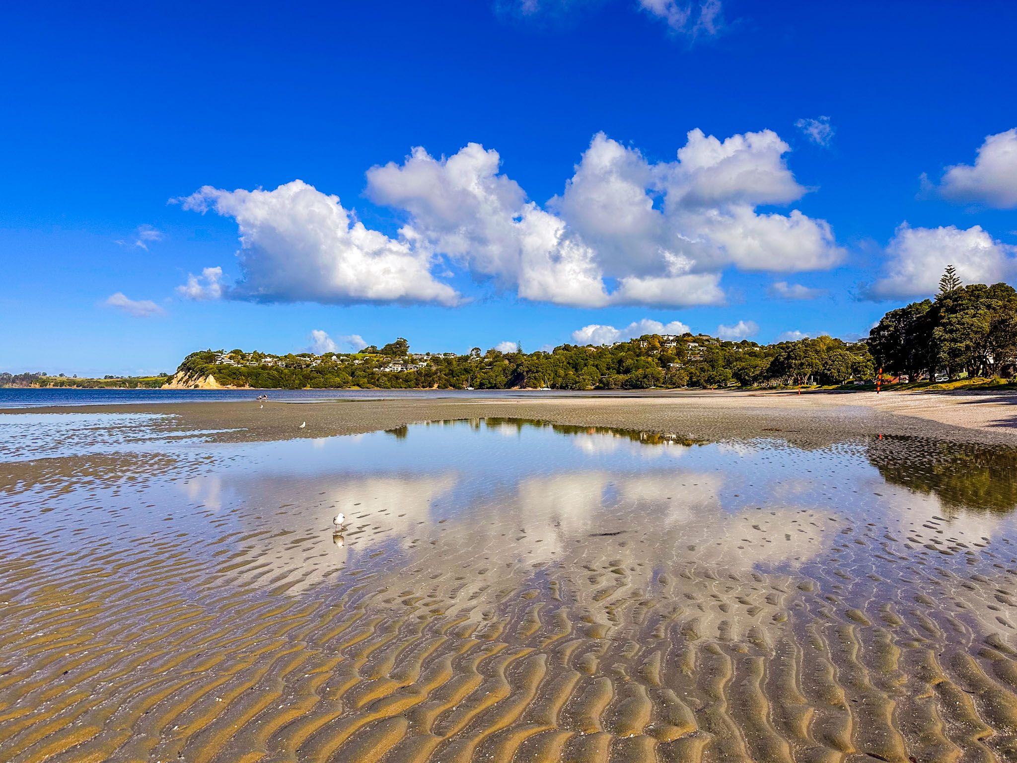
Snells Beach is a charming beach town located on the Mahurangi Peninsula, part of the Matakana Coast in the Auckland region. Facing east across Kawau Bay towards Kawau Island, the beach is a popular destination for its expansive shoreline and family-friendly atmosphere. The beach is one of the longest on the Matakana Coast, stretching 3 km, with flat terrain and safe swimming conditions, particularly at high tide.
Exploring the Beach and Reserve
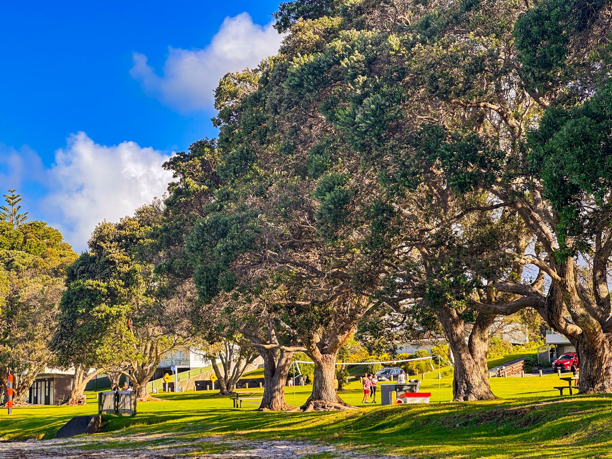
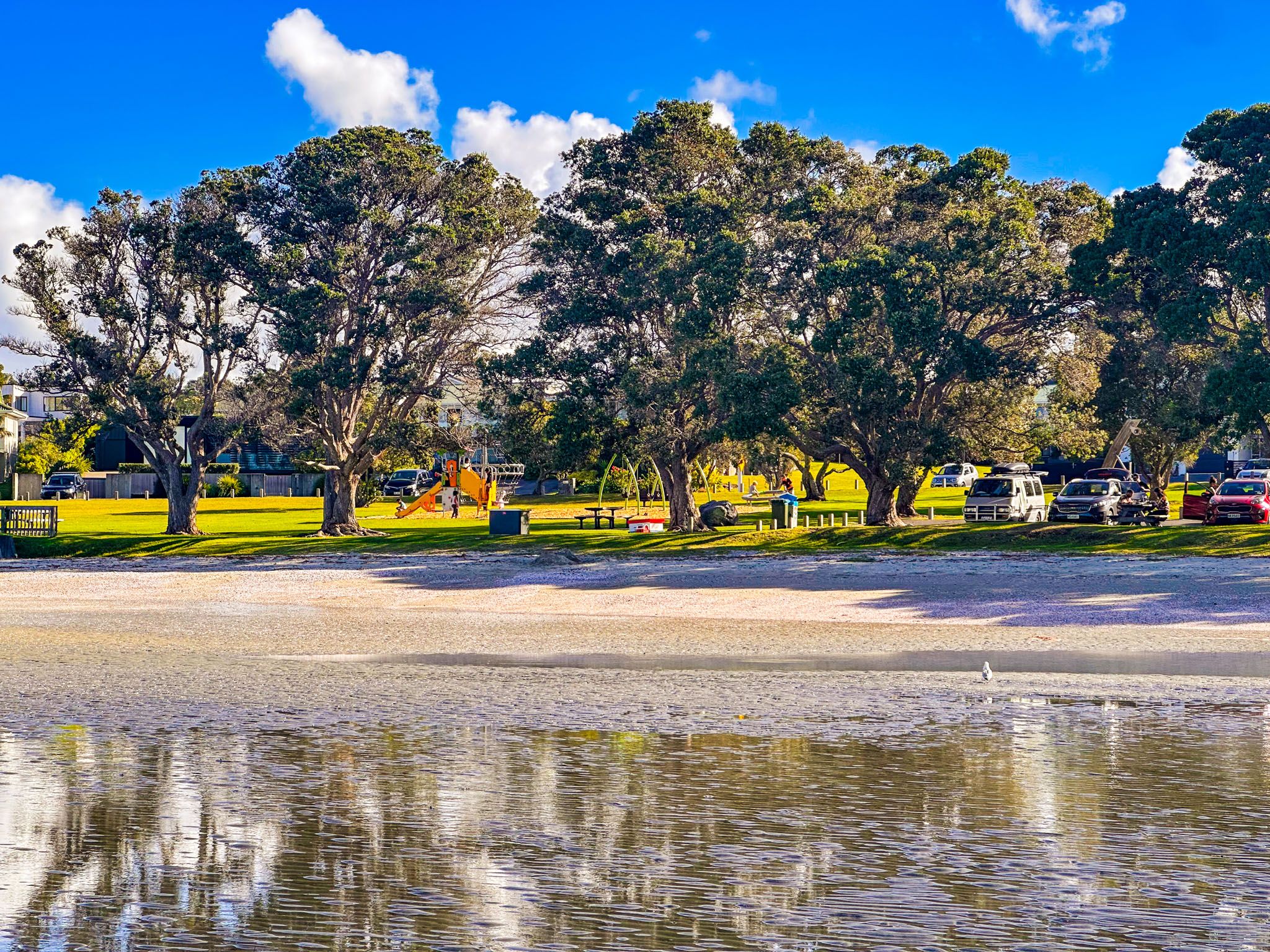
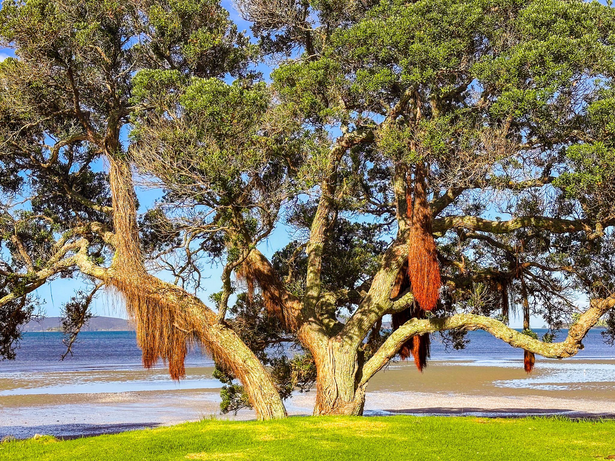
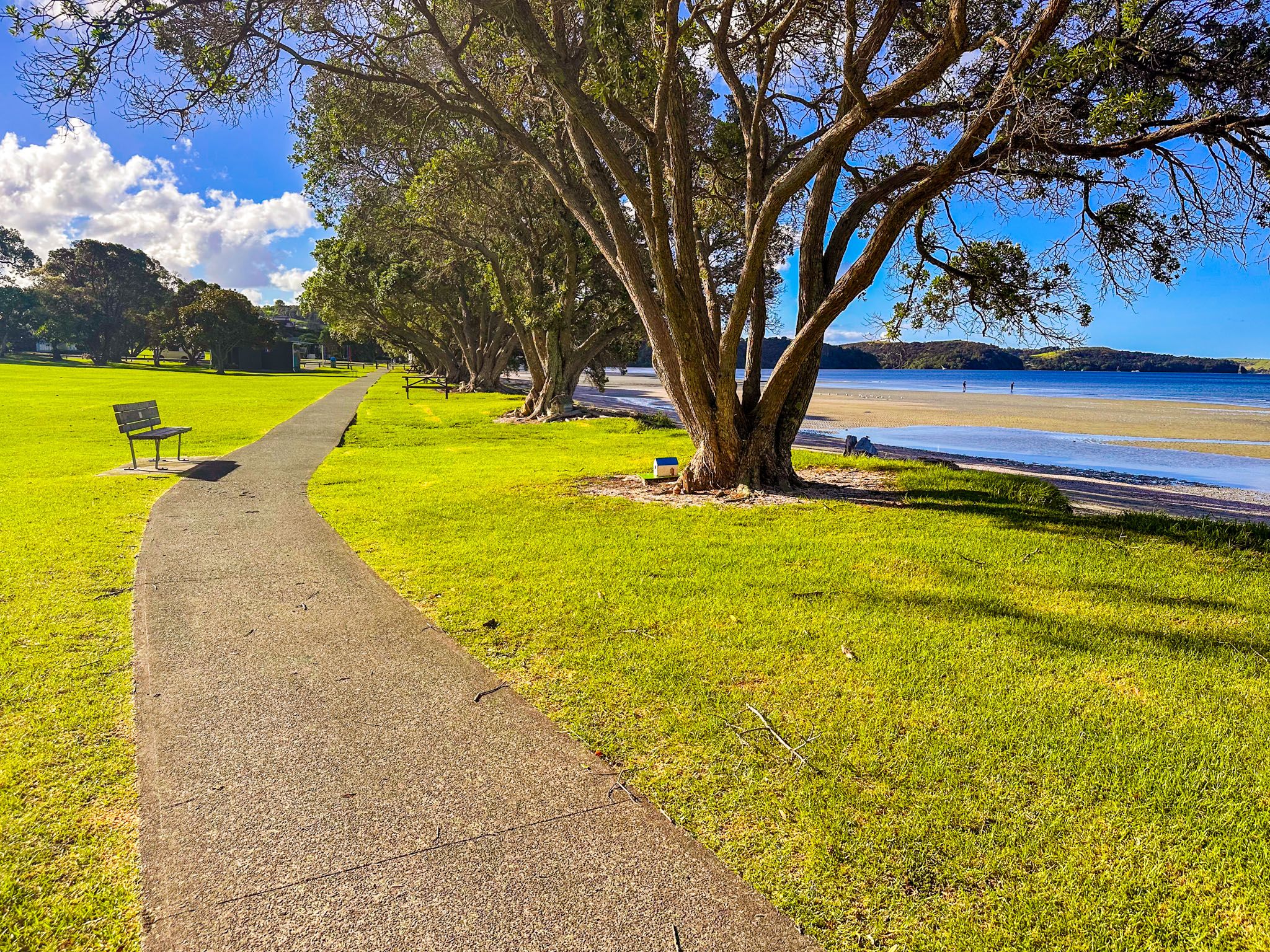
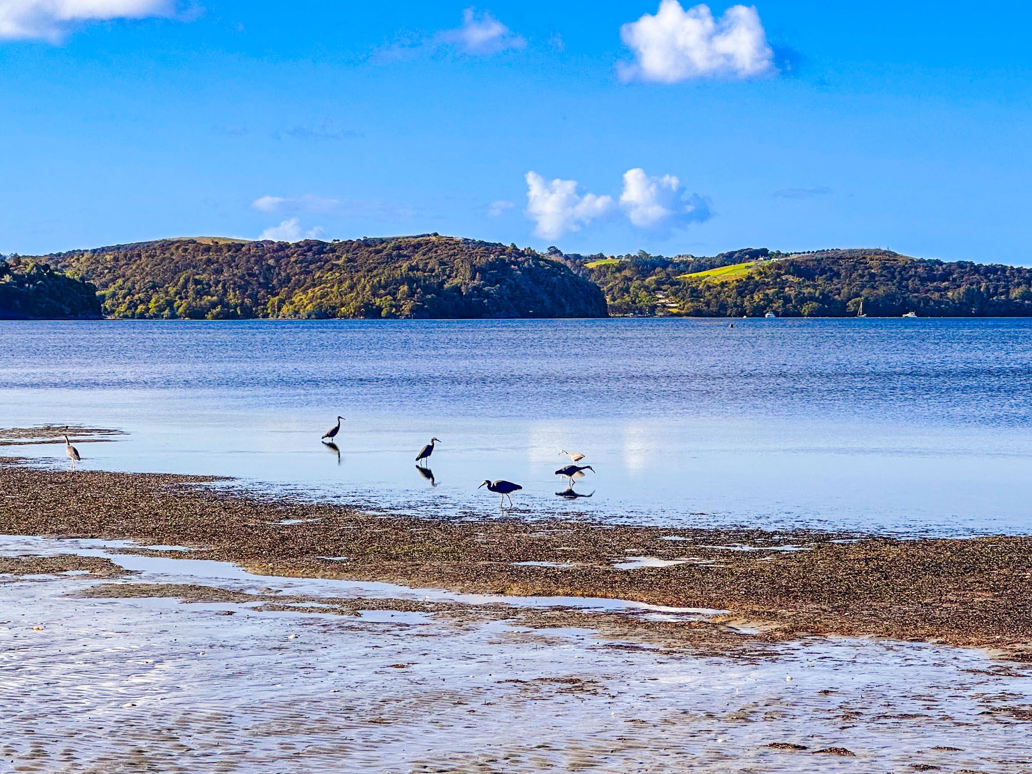
The beach at Snells Beach is backed by a large grassy reserve, with playgrounds and a shared track running the entire length of the beach. Pōhutukawa trees line the beach, providing shade and a picturesque setting. The reserve also hosts various mature exotic trees. The extensive seagrass meadows in the shallows help protect the beach from erosion and attract a variety of seabirds, making it a haven for nature enthusiasts.
Access Points and Amenities
As you enter Snells Beach township, the first access road to the beach is Arabella Lane, which is also signposted for Brick Bay. Continuing past Brick Bay and through the roundabout leads to Kokihi Lane at the north end of the beach, where a freedom camping area is located.
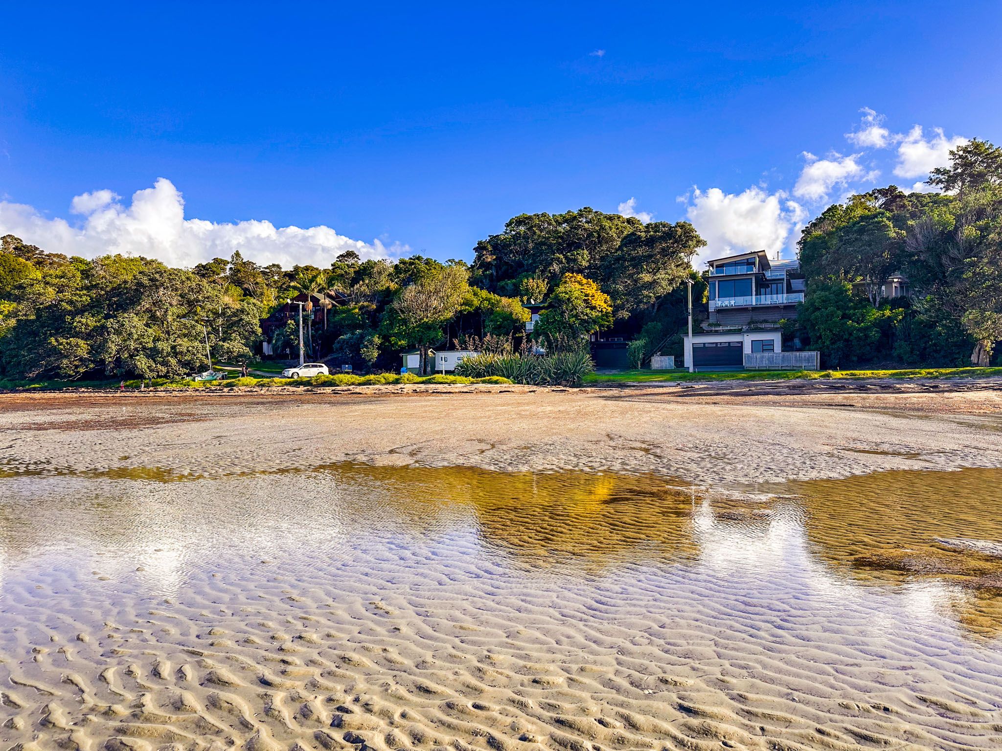
Other access points include Tamatea Drive, Ariki Drive, Snells Beach Road, and Dalton Road at the southern end of the beach. The town itself is large enough to support a shopping centre, providing convenience for visitors and residents alike.
Historical Significance
The Mahurangi region has a rich history, with settlement dating back to at least the 13th century. The area was initially populated by hapū linked to the Kawerau iwi, who settled along the Hauraki Gulf shores. Snells Beach and nearby Algies Bay were guarded by headland pā at the north and south ends of Kawau Bay. The bay was an important shark fishery, sometimes contested between local hapū and Hauraki-based iwi from the Marutūāhu confederation.
In the early 1820s, the region was affected by the Musket Wars, prompting the local hapū to temporarily abandon it. They reestablished themselves in the 1830s and 1840s, despite the government's problematic Mahurangi Purchase in 1841. This purchase led to protests and court disputes, resulting in substantial restitution to the local hapū but limiting some customary rights. By the mid-1850s, sales to European settlers were underway.
Development and Modern Day
Originally referred to as Long Beach, the area was purchased in 1854 by Cornish miner James Snell, who had initially settled on Kawau Island. The Snell family farmed the area for several generations before the town developed, while the beach attracted campers from early on.
In 1904, kauri gum was discovered, leading to a brief extraction industry. Despite this, Snells Beach remained a popular holiday destination, especially after the addition of Mahurangi East Road in the 1930s. It remained a relatively quiet spot for a summer holiday until 1982, when the first block of shops was built, giving Snells Beach the appearance of a typical coastal suburb.
Getting to Snells Beach
To reach Snells Beach, drive 10 minutes from Warkworth via Sandspit Road, then continue on Mahurangi East Road. The town is situated on a narrow section of the peninsula, nestled between Sandspit and Algies Bay.
Other places to visit on the Mahurangi Peninsula include Sandspit, Scotts Landing, Scandrett Regional Park and Martins Bay.