Discover Scandrett Regional Park
Scandrett Regional Park is one of 28 Auckland regional parks, located on the Mahurangi Peninsula along the picturesque Matakana Coast. It offers visitors a unique opportunity to explore a working farm, historic homestead, and farm buildings, all set against the backdrop of coastal walks, regenerating forests, and a beautiful beach.
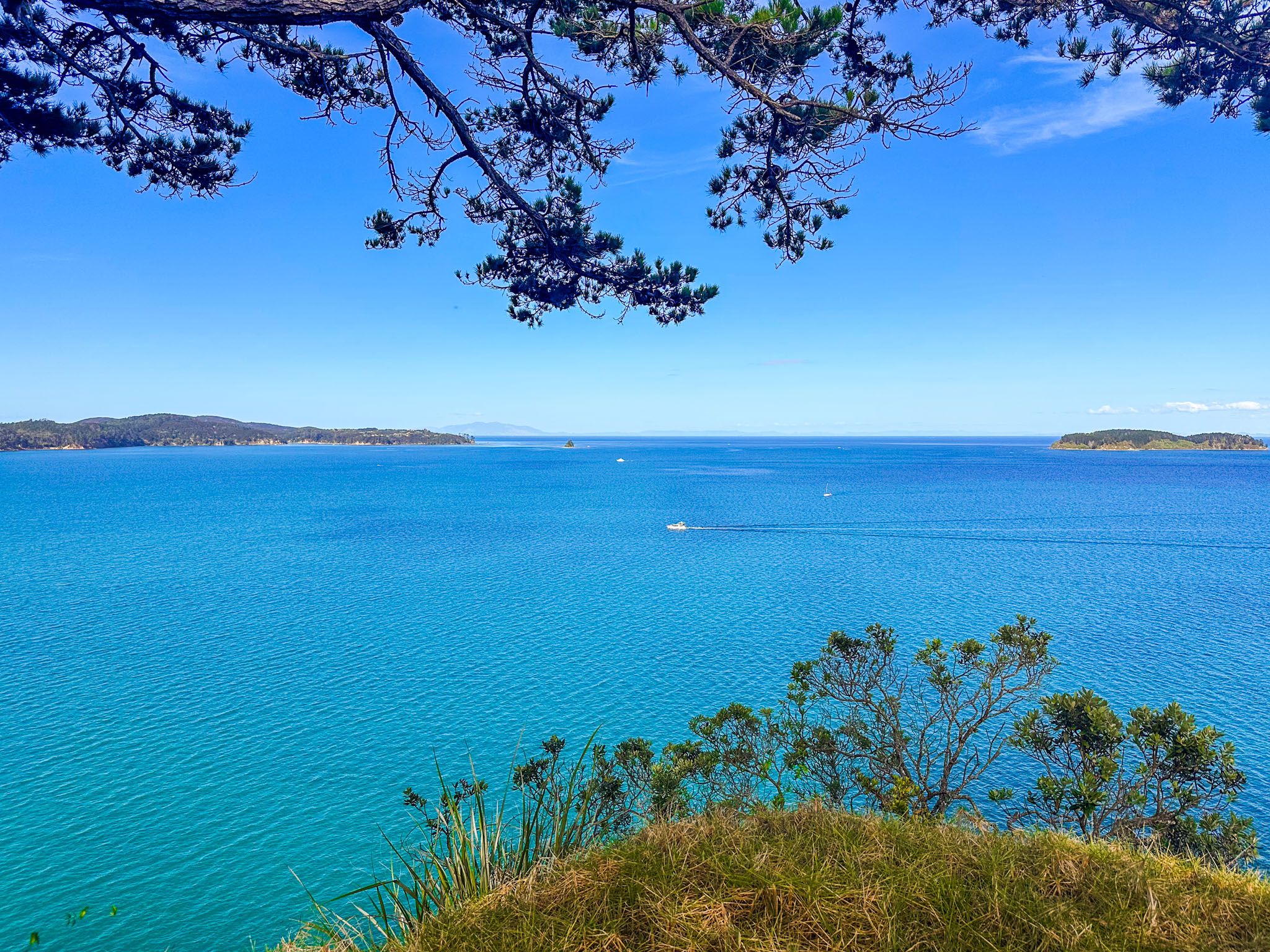
Exploring the Park's Features
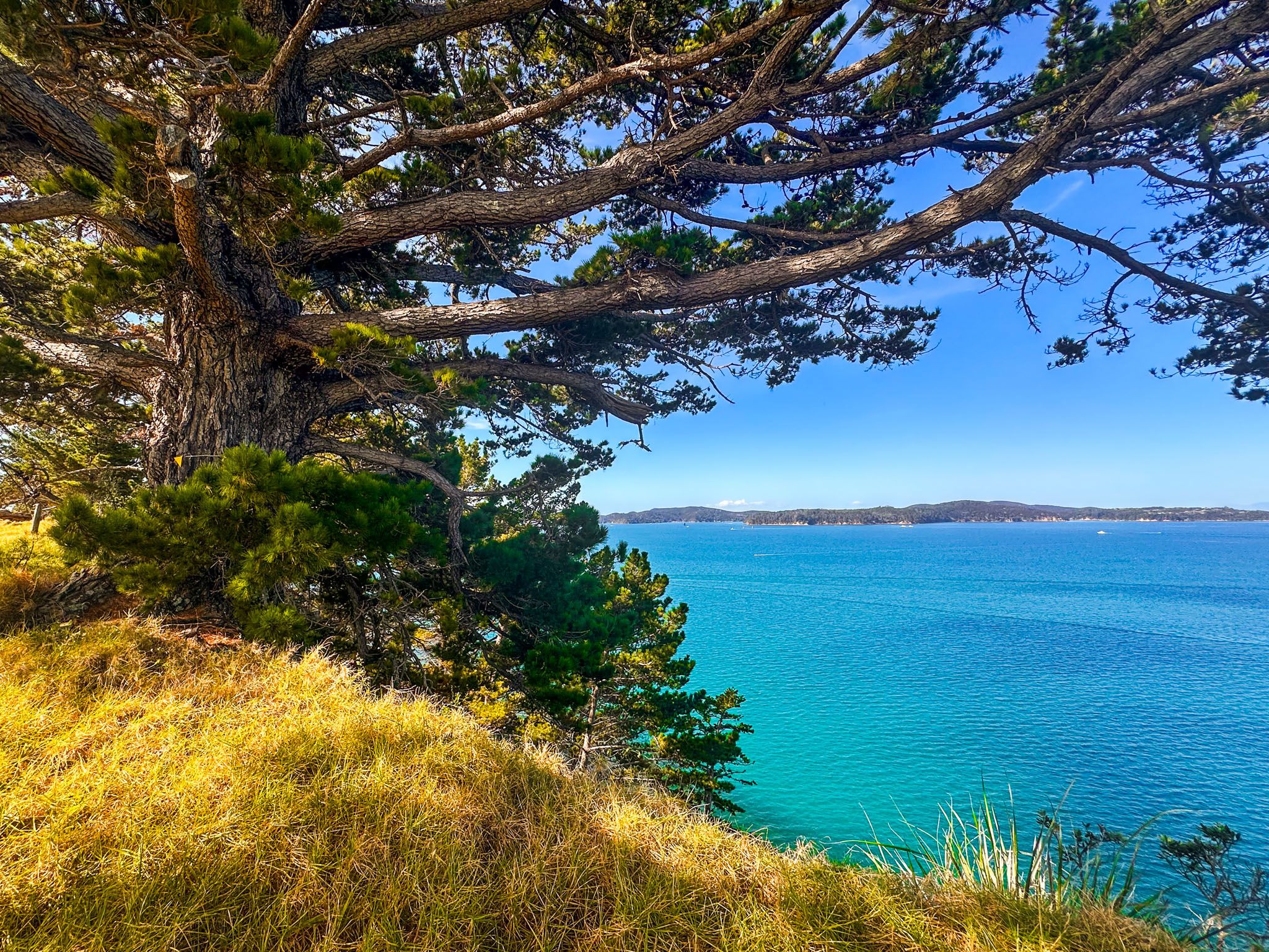
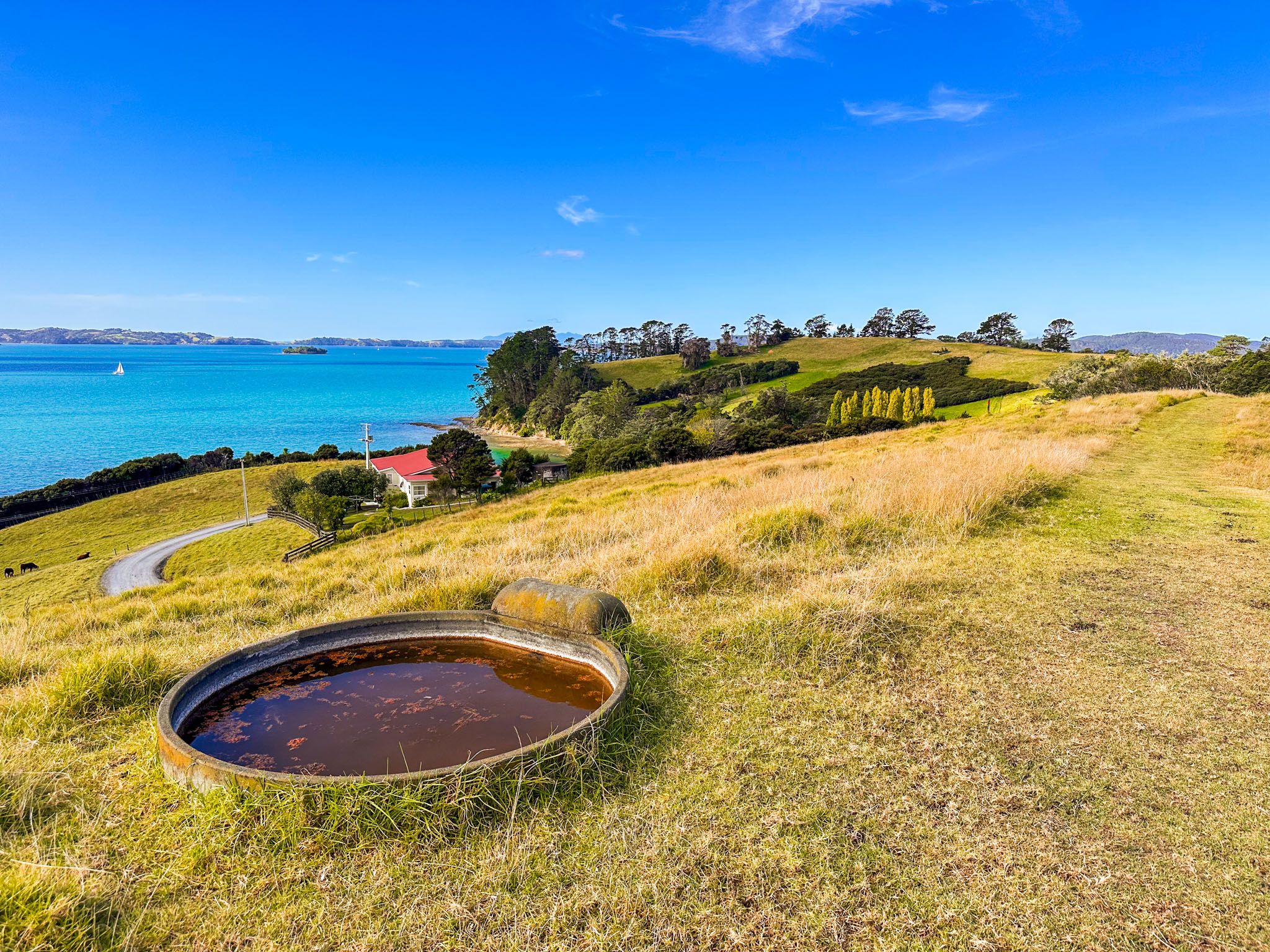
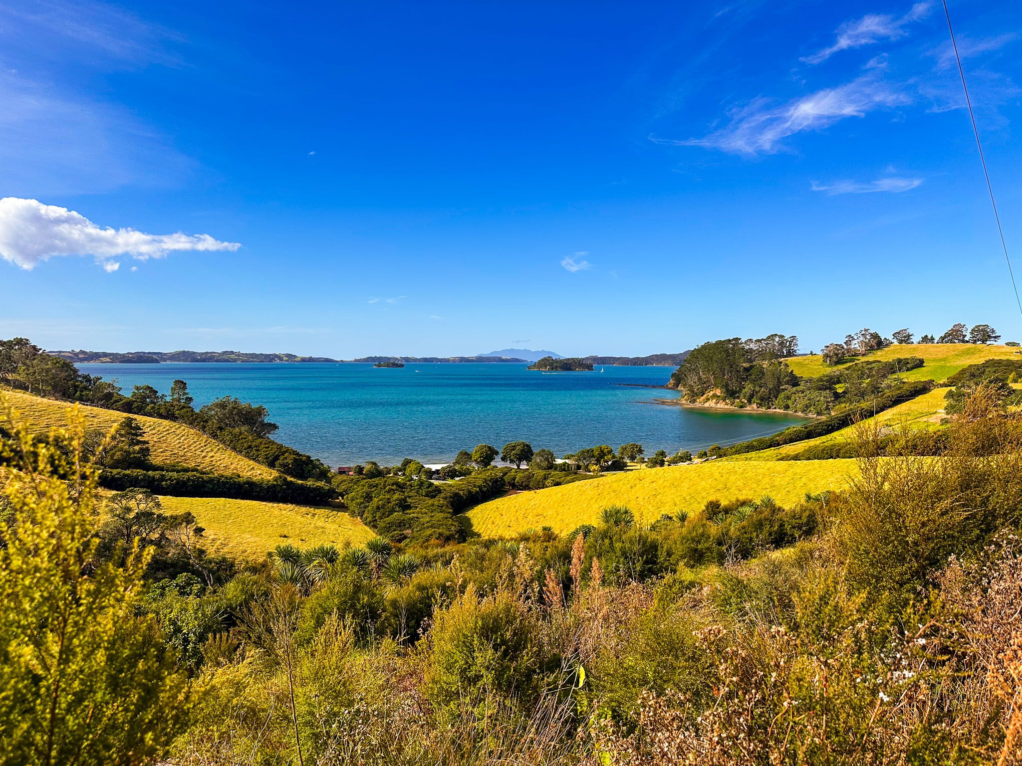
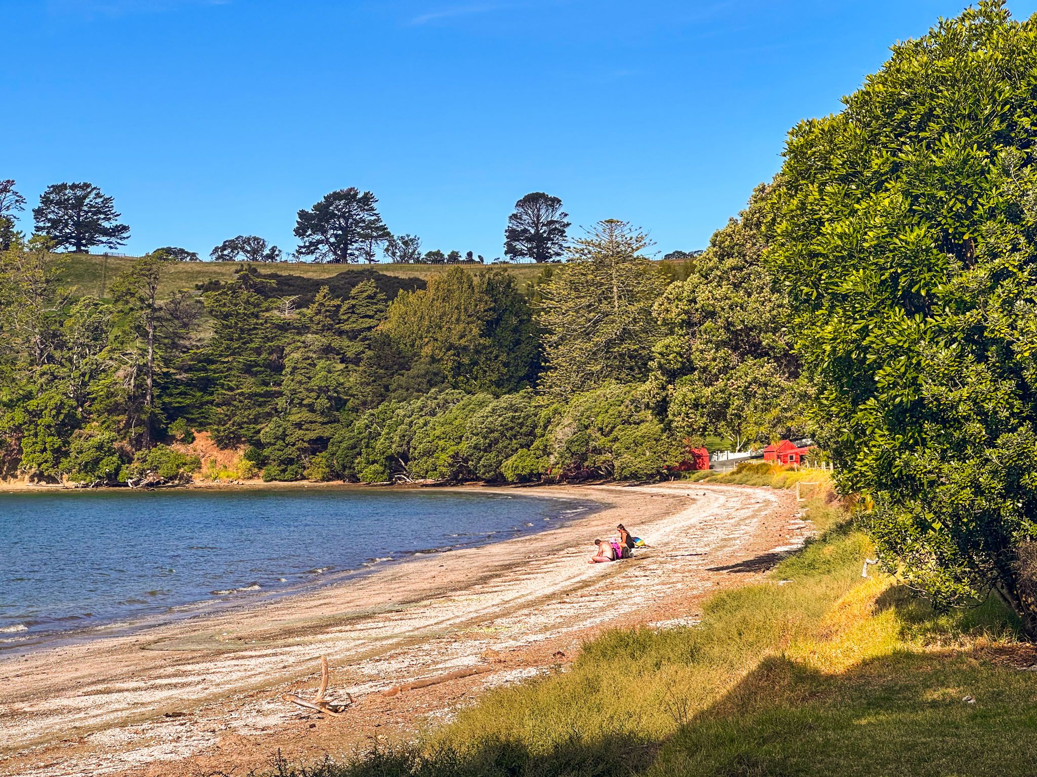
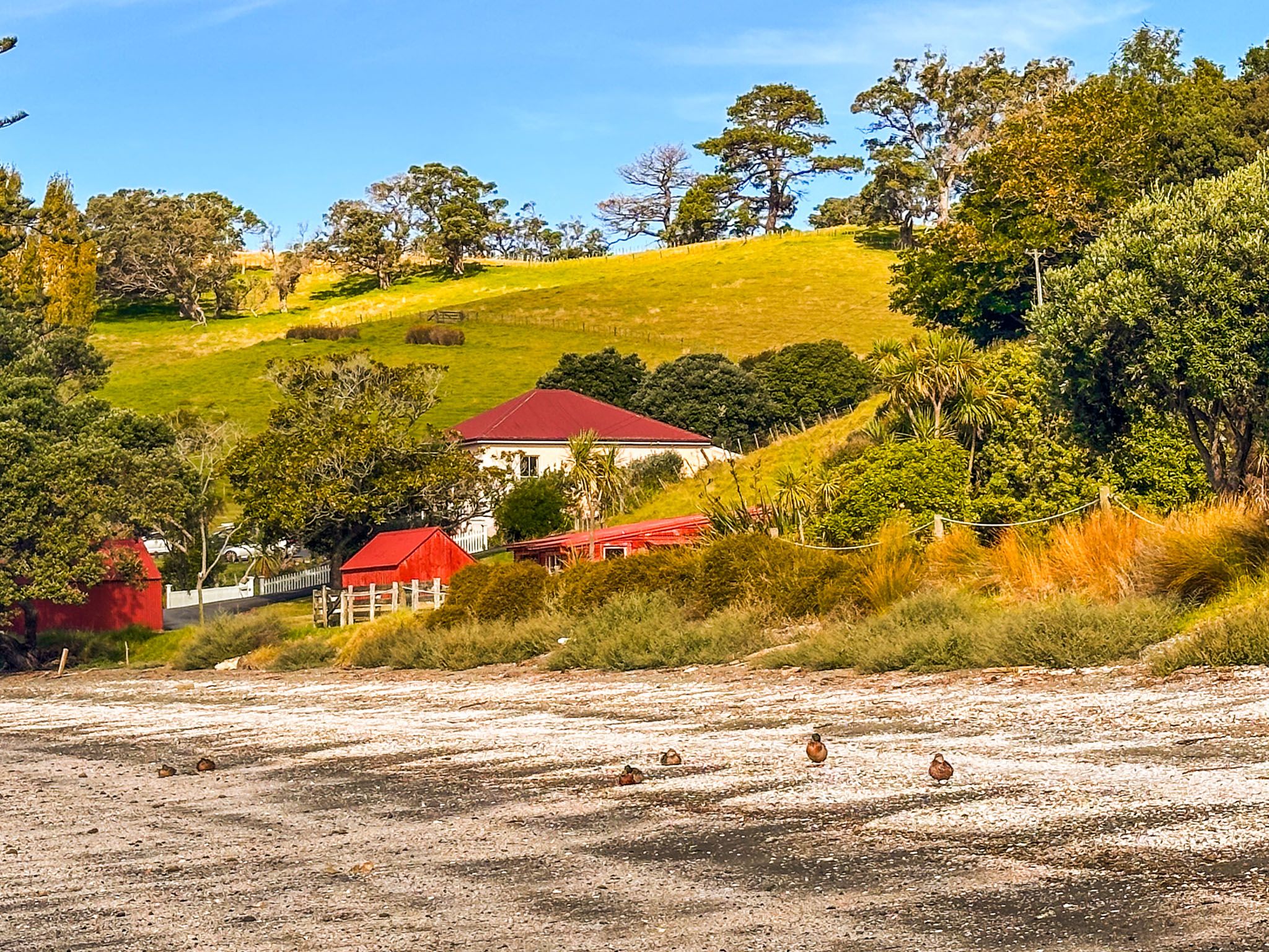
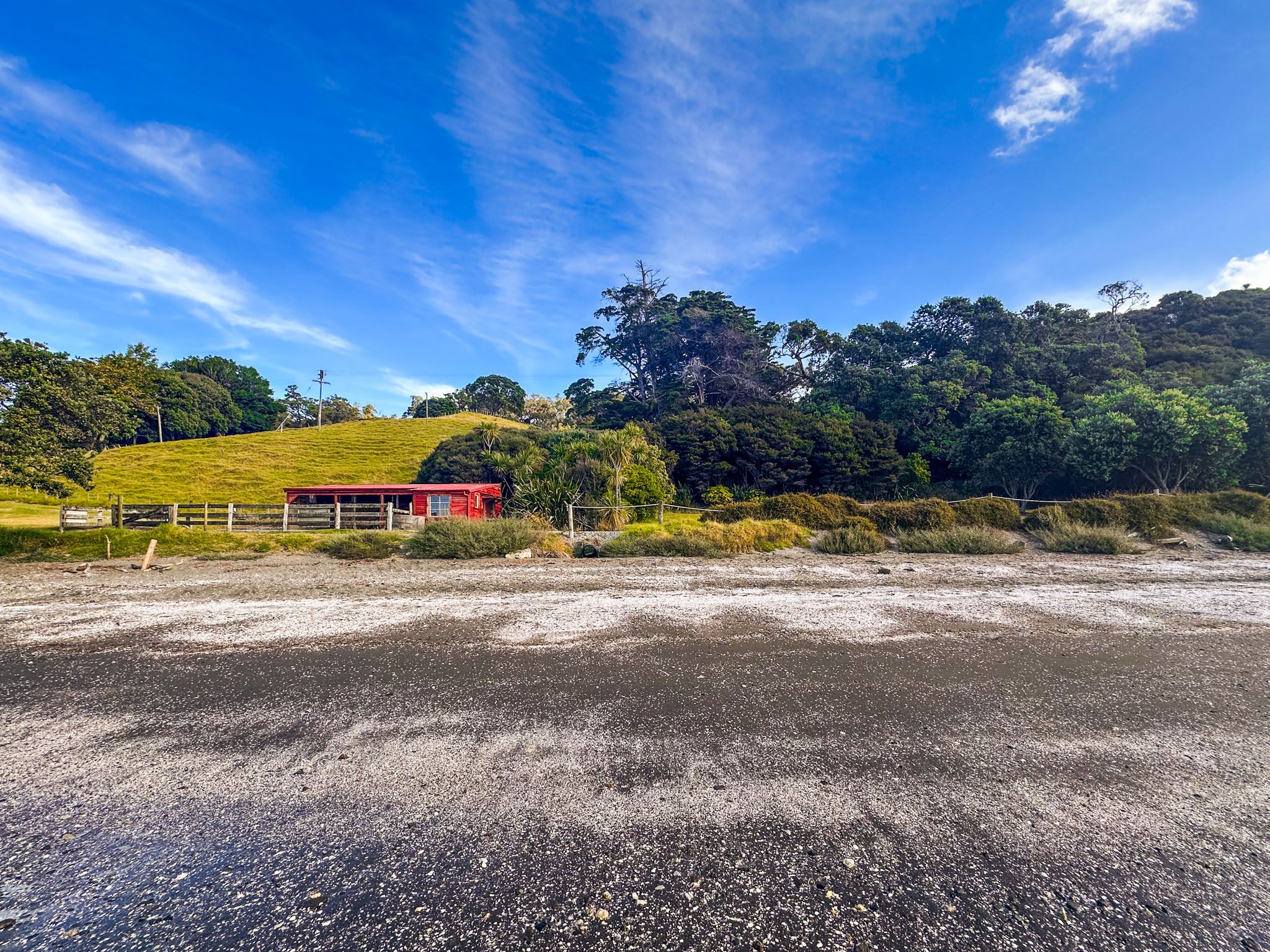
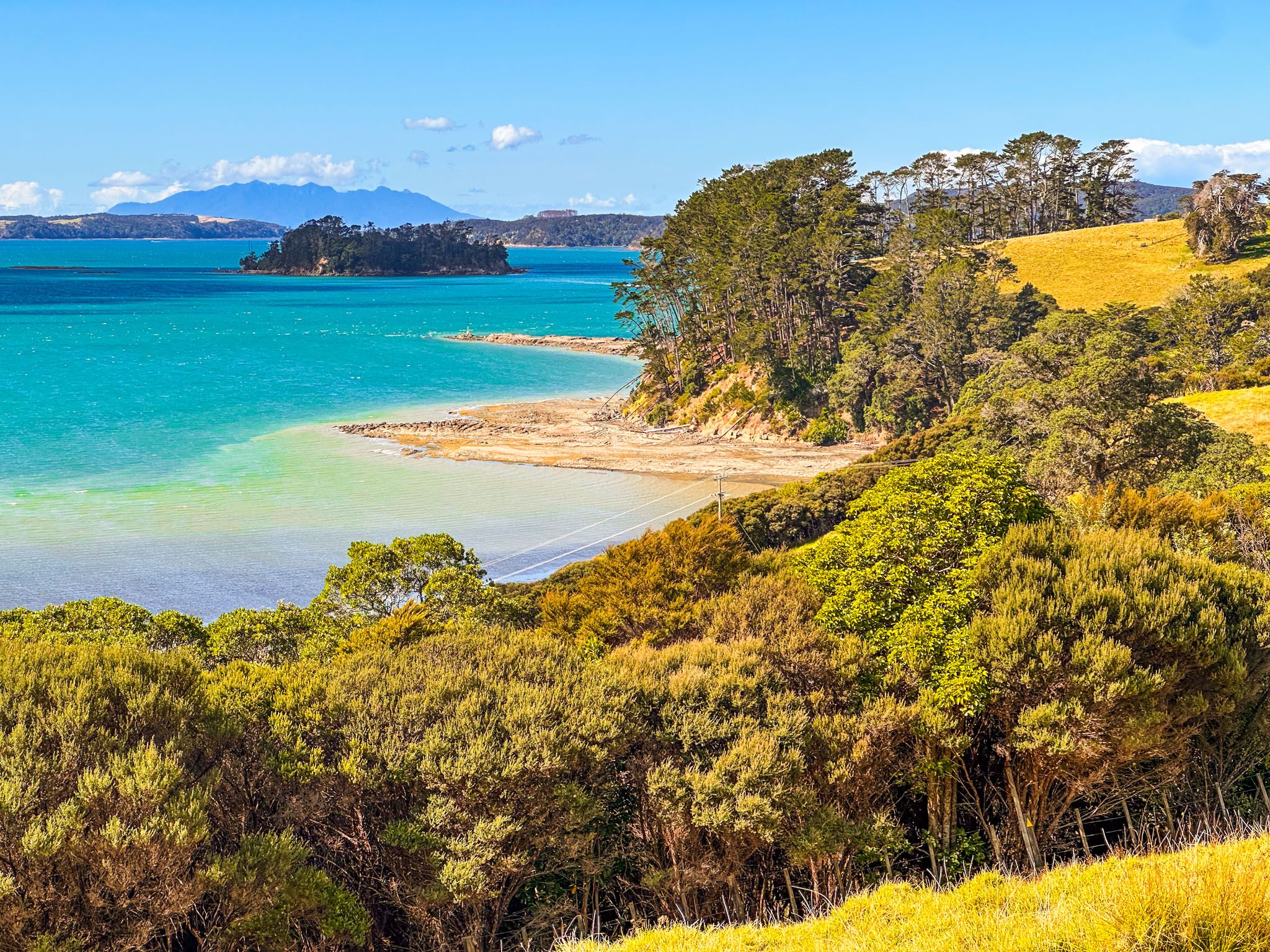
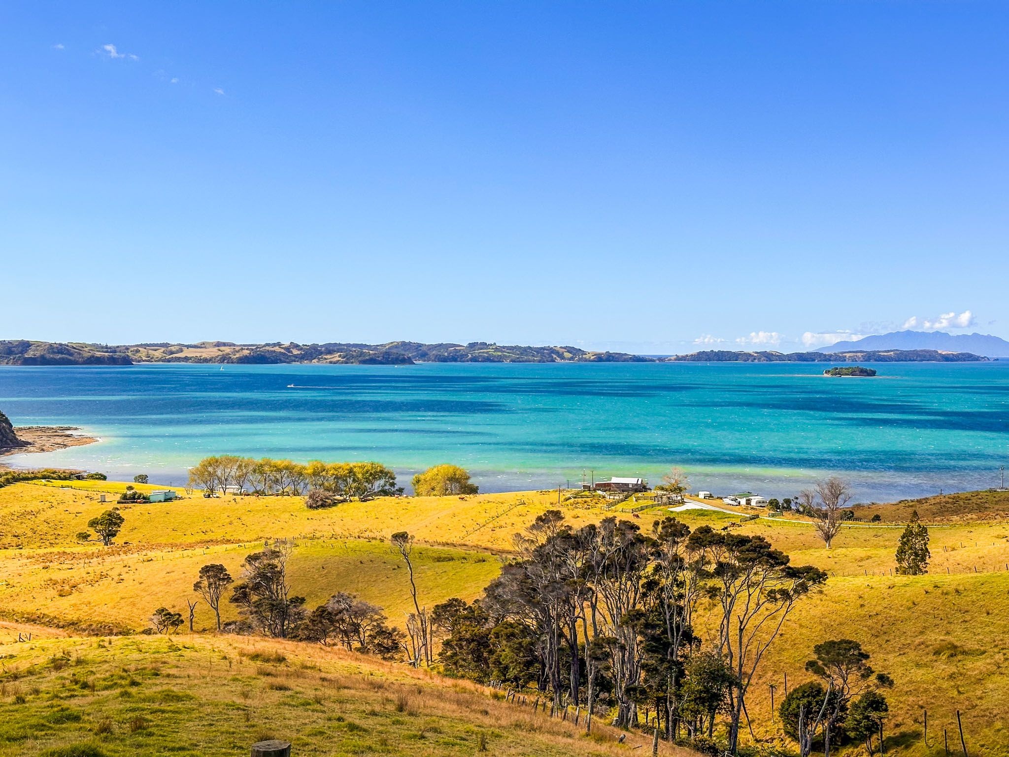
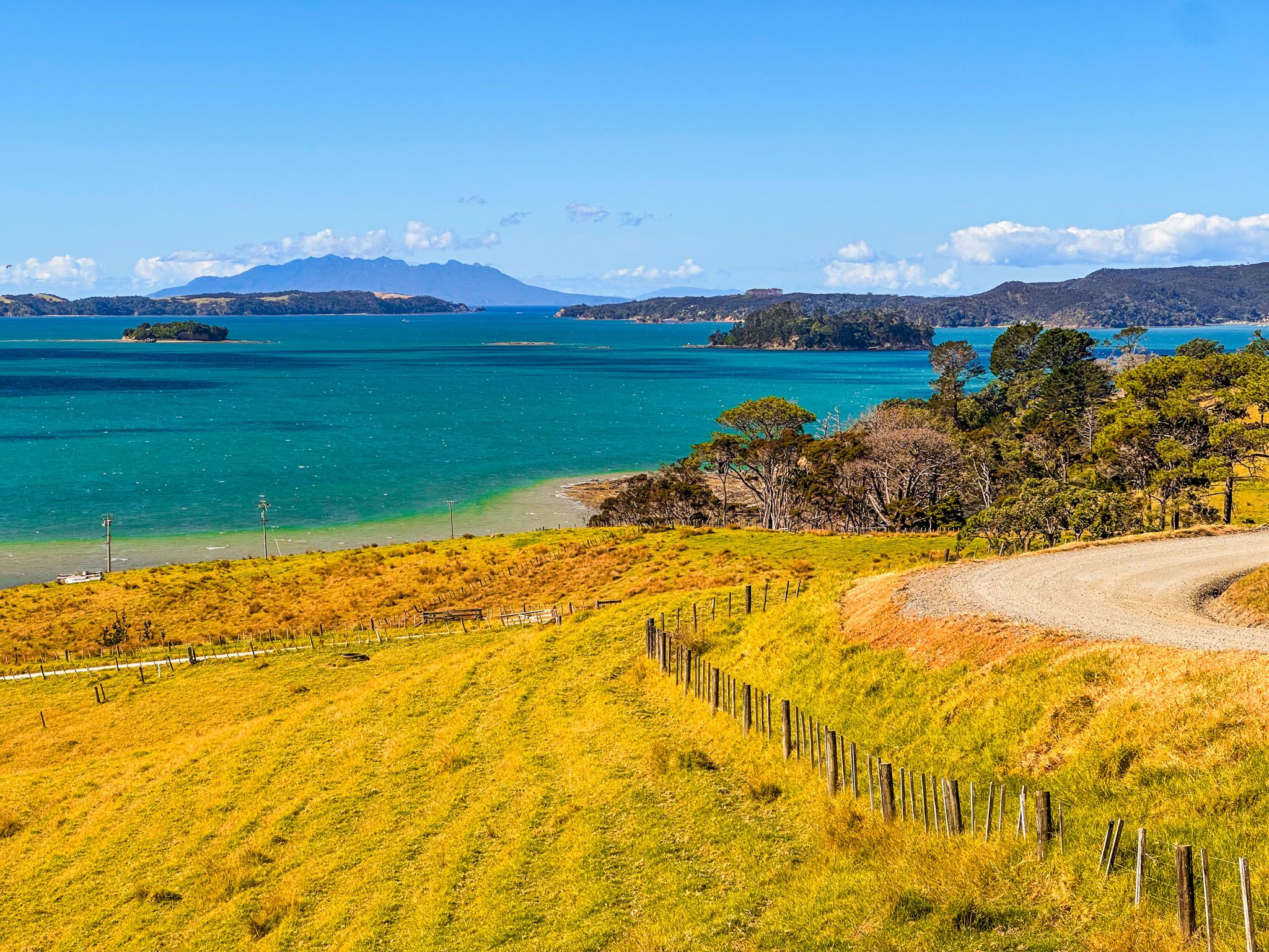
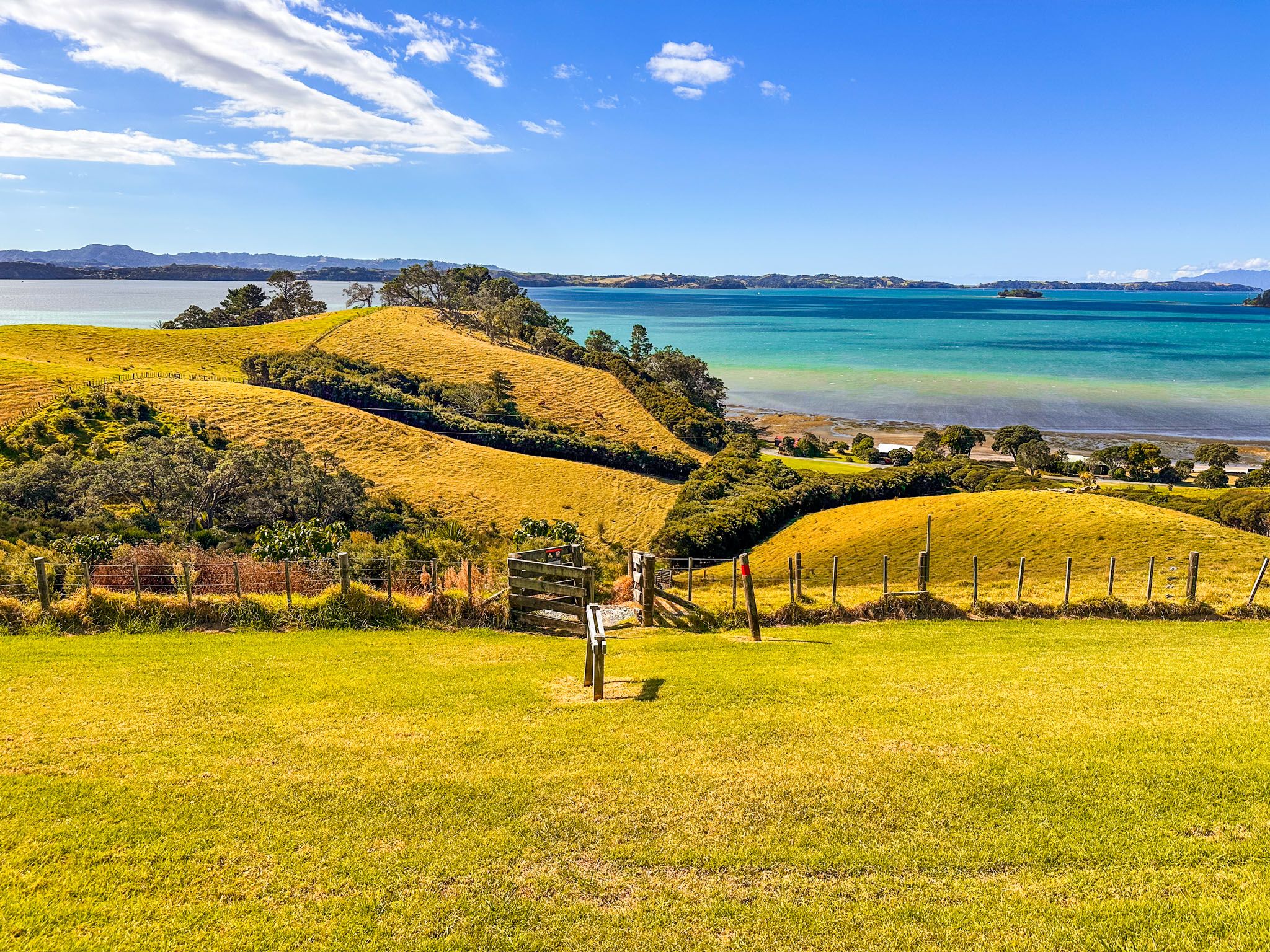
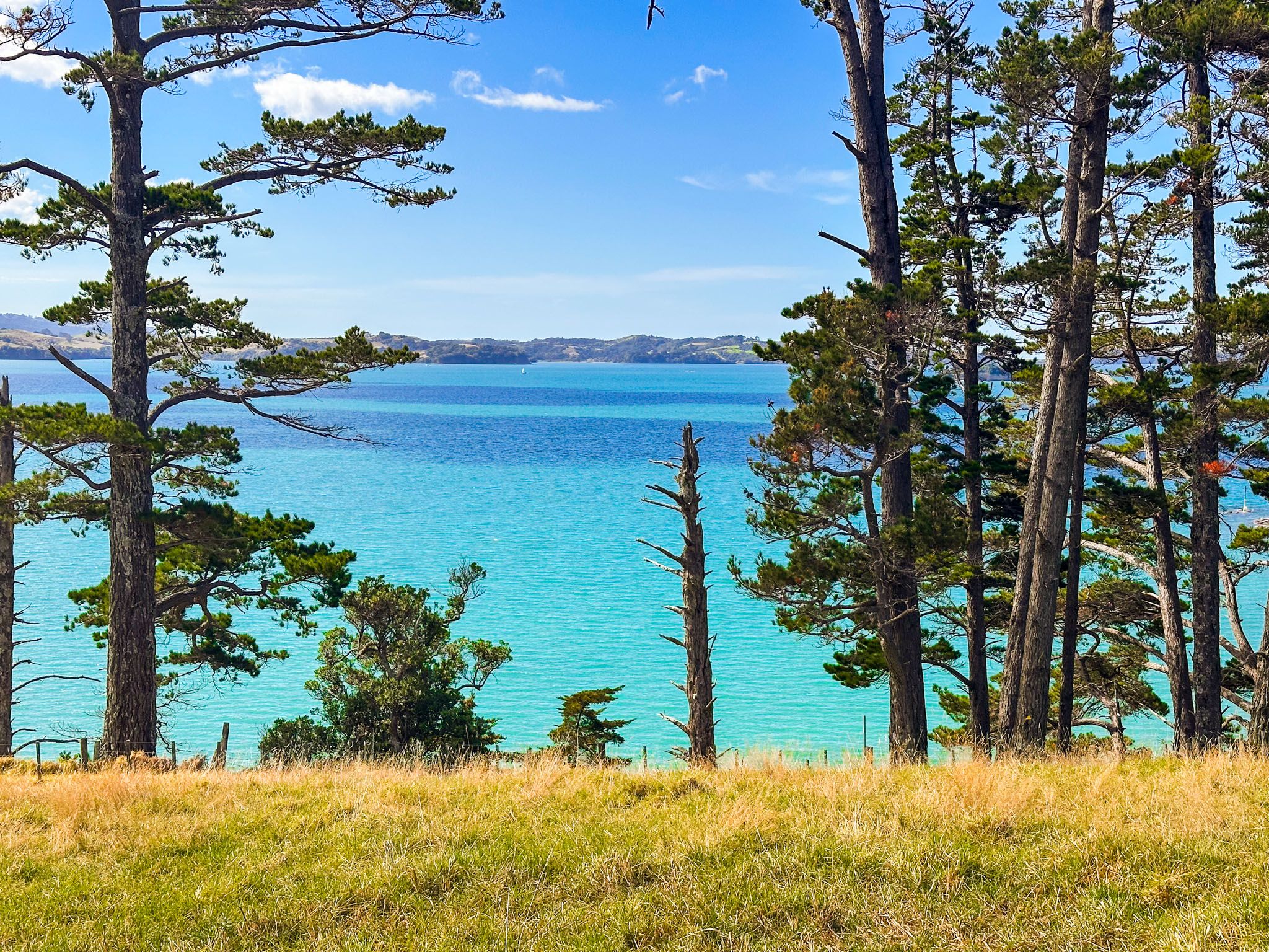
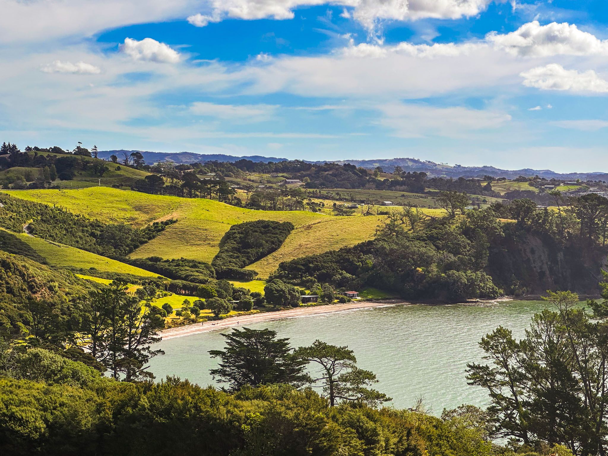
The main features of Scandrett Regional Park are Scandretts Bay, a 400-metre north-facing beach, and Mullet Point to the east of the beach. The historic homestead and farm buildings are located near the beach, while the park's paddocks rise from the bay to the cliffs around Mullet Point. This point also separates Scandretts Bay from the east-facing Martins Bay.
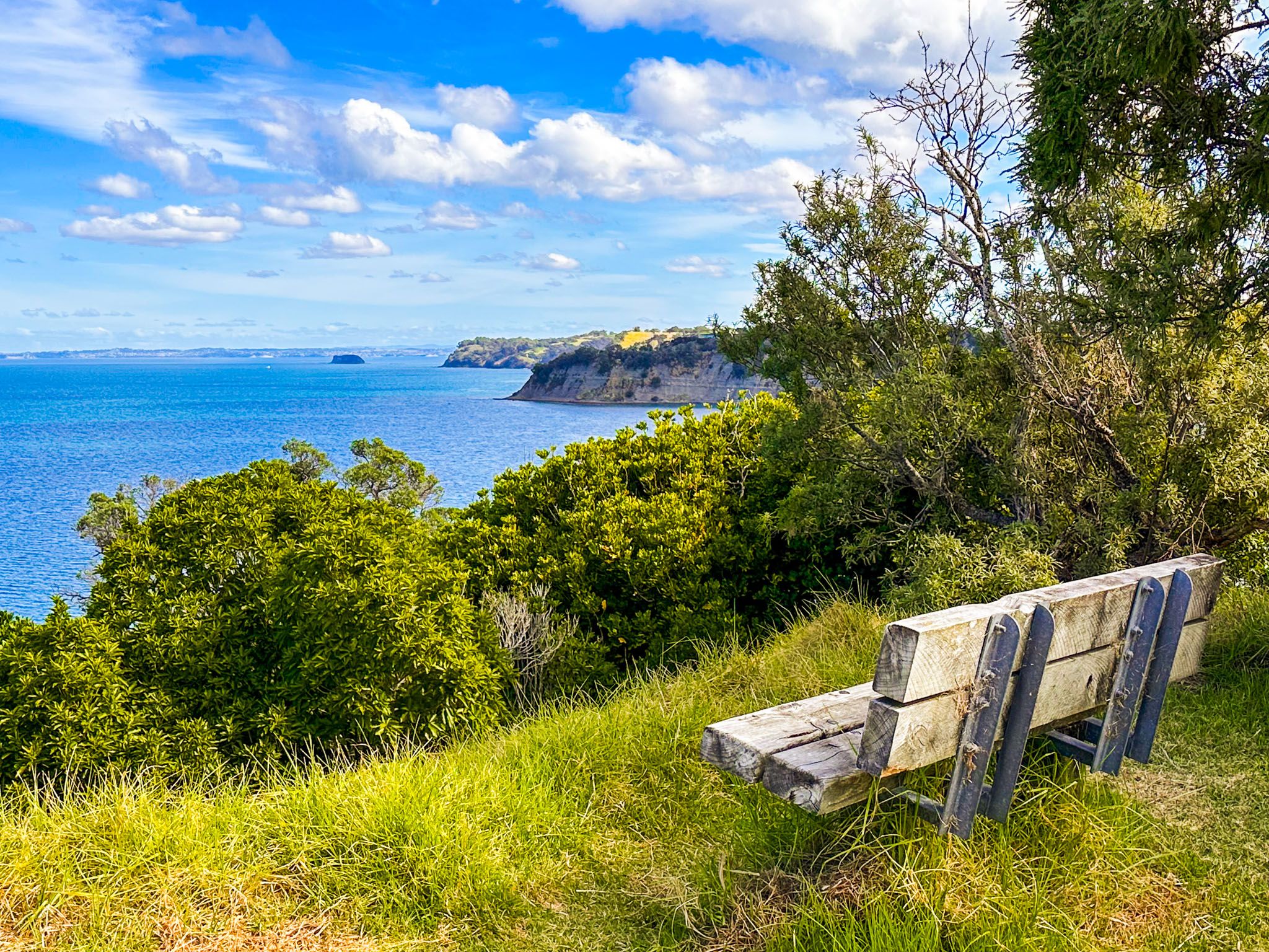
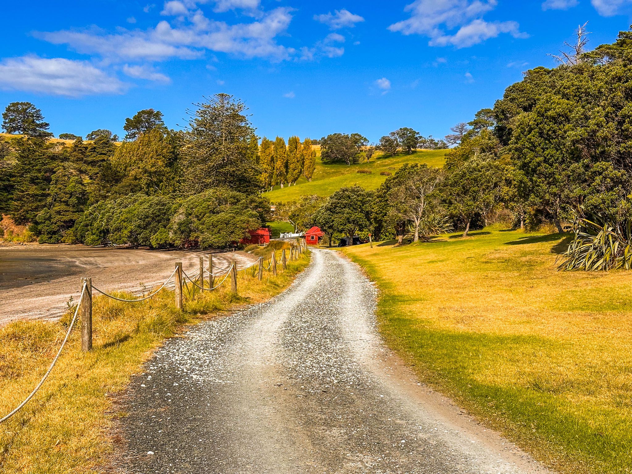
As you enter the park via Scandrett Road, the views are breathtaking. An upper parking area provides access to trails that loop around the park, and to the short Martins Bay Track. Alternatively, you can drive down to Scandretts Bay, where the main parking area is located near the beach and the historic homestead. A grassy reserve behind the beach is an ideal spot for picnics.
The best way to experience the park is by following the linked Kawau Bay, Mullet Point, and Orchard Tracks, which form a loop around the coastal edge. These tracks offer spectacular views of Kawau Bay from the end of Mullet Point and the Hauraki Gulf from the clifftops above Martins Bay.
Flora and Fauna
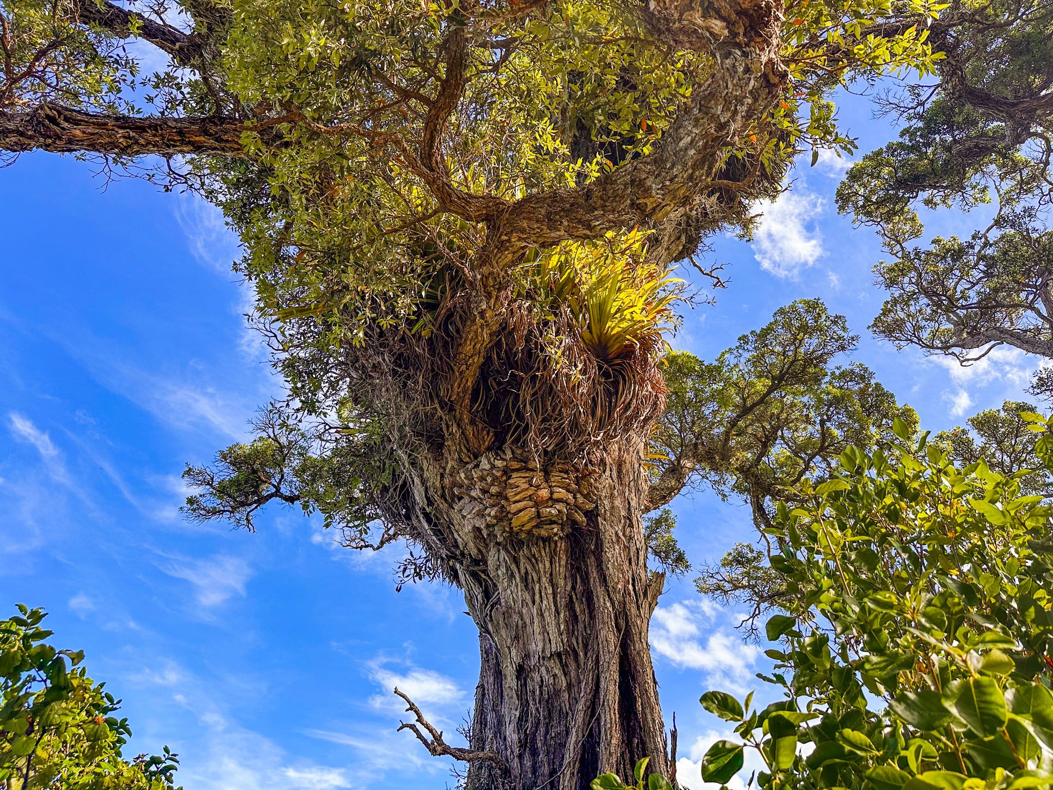
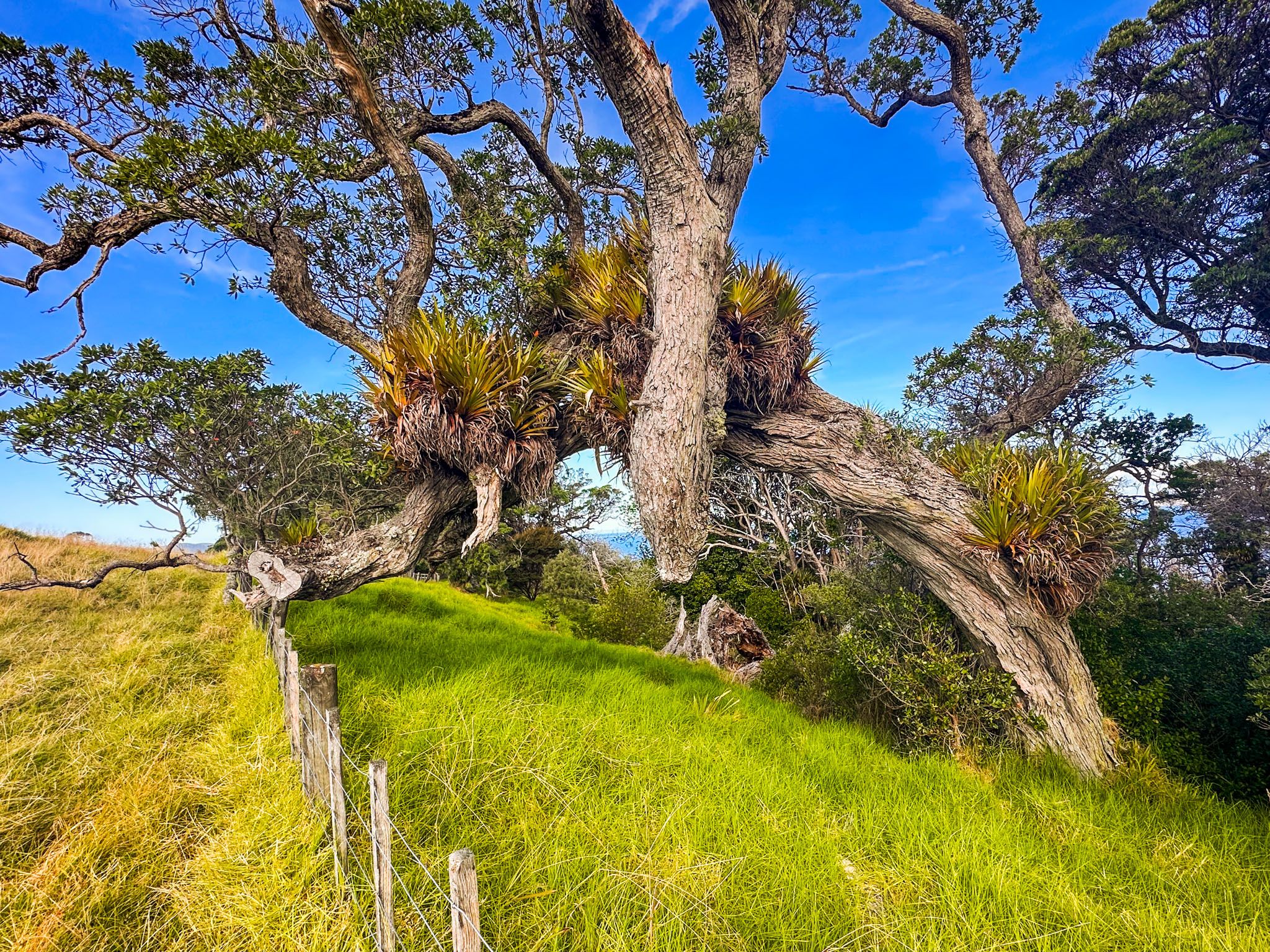
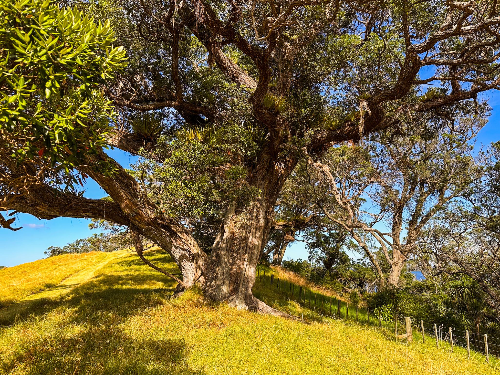
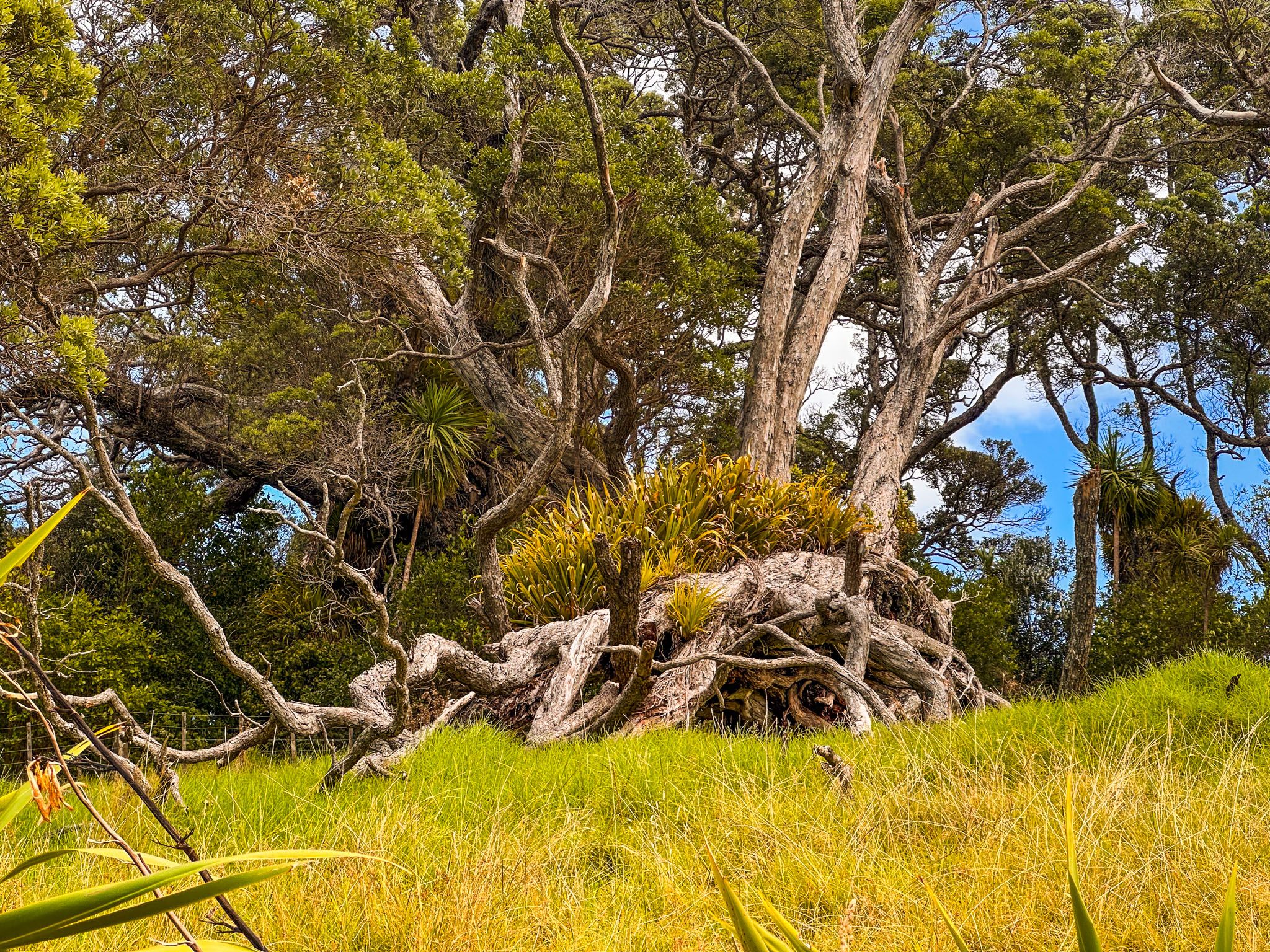
The park is home to a significant remnant of coastal forest and areas of regrowth. Native trees such as pōhutukawa, taraire, kohekohe, tawāpou, māhoe, and kōwhai thrive here. The mature pōhutukawa trees on the southern side of Mullet Point and above Martins Bay are particularly noteworthy for their size and gnarled appearance. Near the homestead, younger pōhutukawa and several exotic trees, including one of New Zealand's largest Norfolk pines, can be found. This pine was a gift to the Scandrett family from Sir George Grey, an early governor of New Zealand.
Cultural and Historical Significance
Māori referred to Mullet Point as Purahurawai, meaning "the expansive, sparkling waters." The area was adjacent to Moanauriuri, a highly valued shark fishery. Sharks were caught in summer and dried onshore for winter sustenance. The park contains several sites of past Māori settlements, including two headland pā.
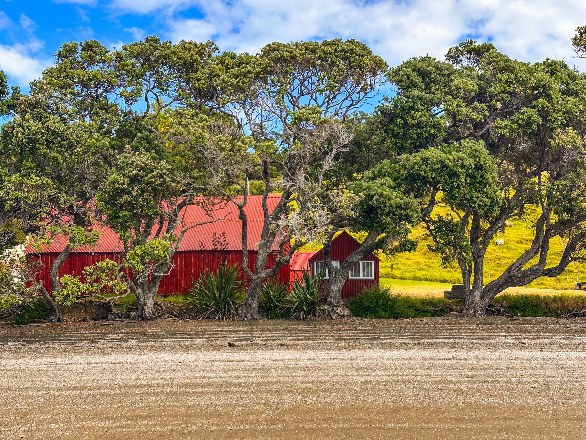
George Scandrett emigrated from Ireland in 1863 and purchased the land around the bay and point, establishing a farm. As a boat builder, Scandrett's skills were invaluable, given the importance of boats for access and communication at the time.
The historic homestead, built around 1885, was the second Scandrett house, constructed from concrete after the first burned down. Located close to the beach, the house and farm buildings provided easy access to boats, which was crucial for communication and trade. The property remained in the Scandrett family until it was sold to Auckland City in 1998. Information panels at the site detail the family's history and farming legacy.
How to Get There
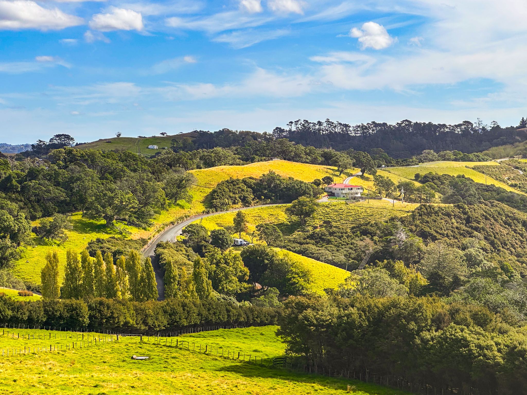
Scandrett Regional Park is located 77 km from Downtown Auckland, approximately a 75-minute drive. To reach the park, take the northern motorway to Warkworth, then continue on Sandspit Road through Snells Beach to Mahurangi East Road, and then Martins Bay Road. About 3 km beyond Algies Bay, turn left onto Scandrett Road.
Self-contained campervans and caravans can park in an approved SCC area. Additionally, three baches are available for booking at the west end of the bay, and a campground is located at nearby Martins Bay.
There are many other beautiful locations to explore around the Matakana Coast. Check out the Mahurangi Regional Park West and Scotts Landing for more beautiful coast and beaches. Head north to discover Matakana and Tawharanui Regional Park.