Important Note: Boat access only to Mahurangi Regional Park at present due to damaged road access.
Discover Mahurangi Regional Park
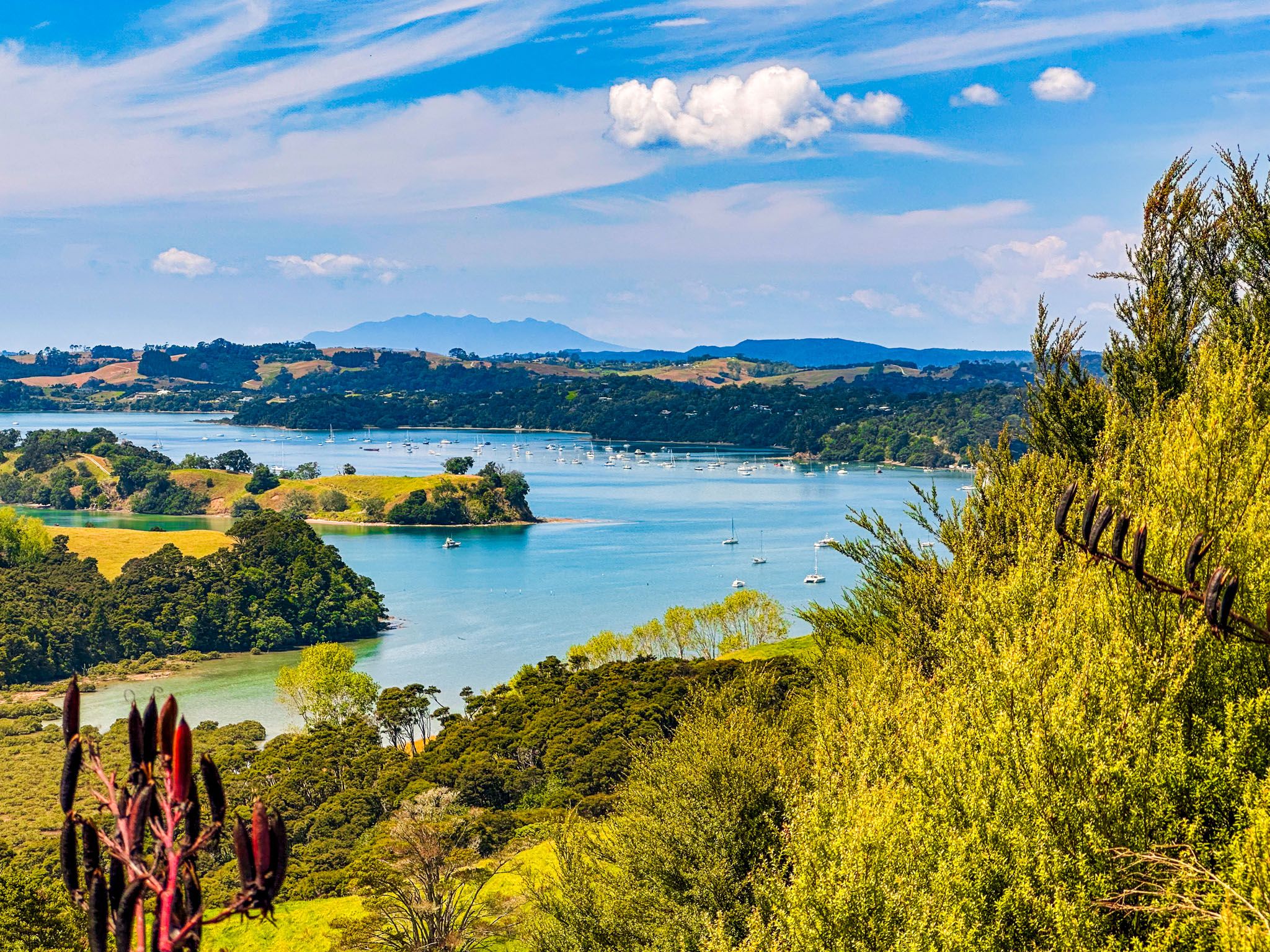
Mahurangi Regional Park is located in the Mahurangi region, the southern part of the Matakana Coast on Auckland's Hauraki Gulf. The park, owned by Auckland City, is one of 28 regional parks and offers a unique blend of working farms, historic homesteads, beautiful beaches, regenerating forests, and camping opportunities. It is a perfect destination for those interested in both natural beauty and cultural history.
Park Layout and Accessibility
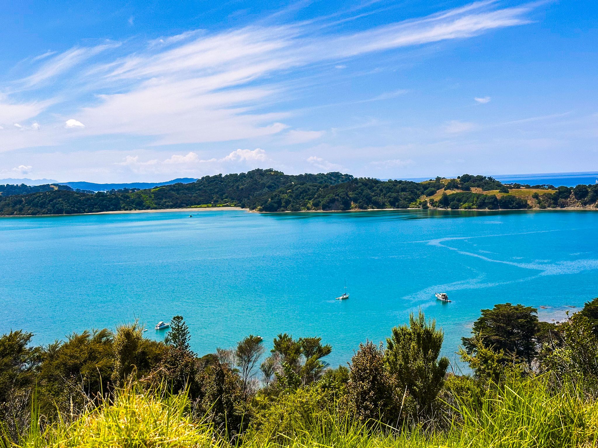
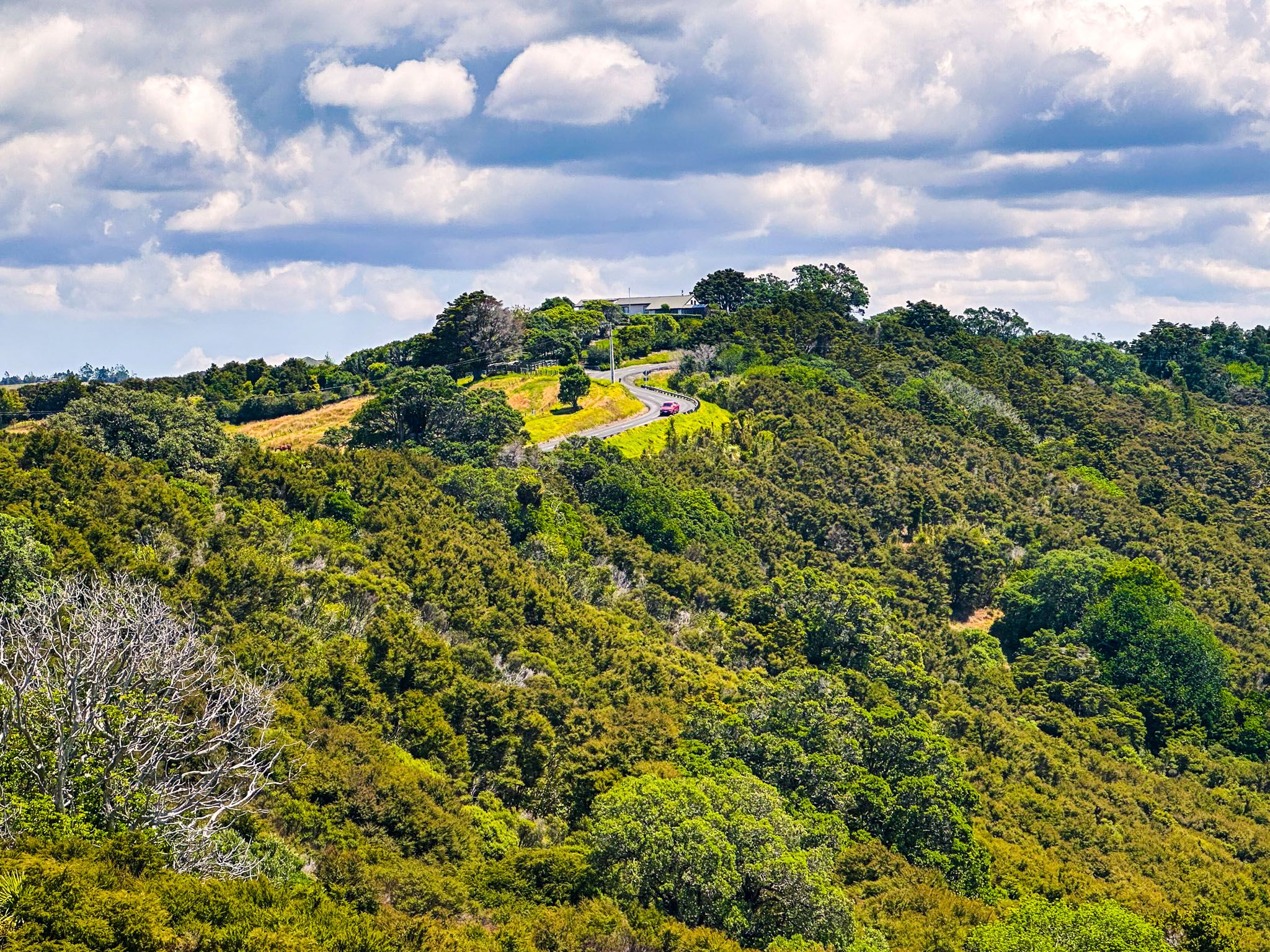
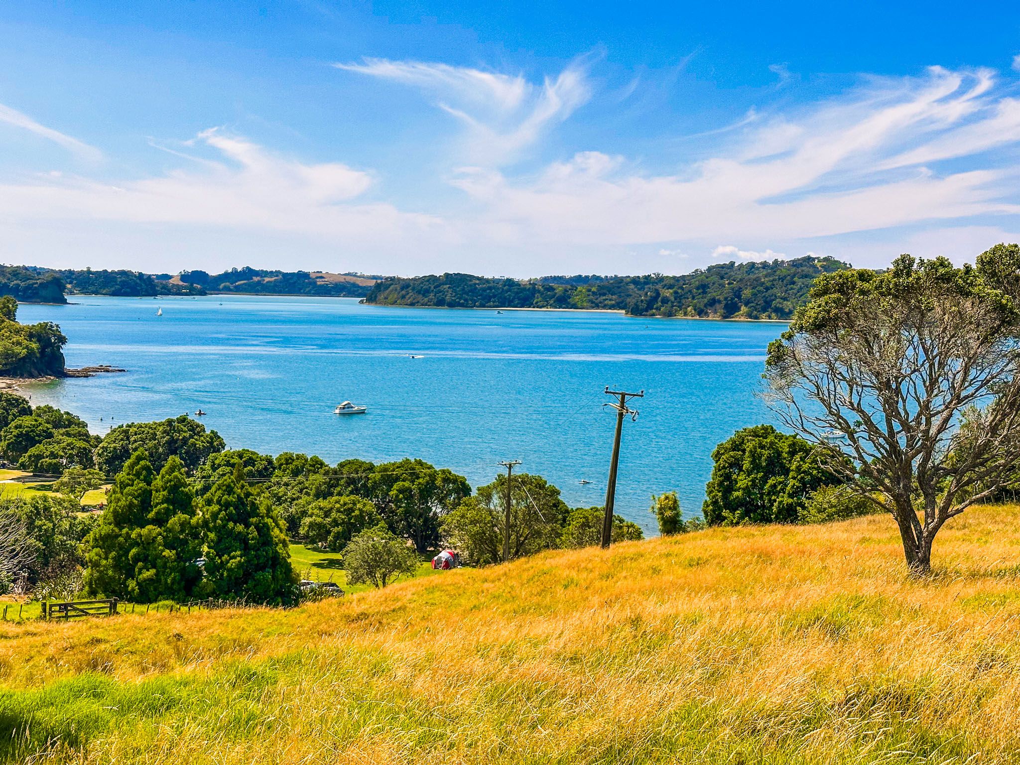
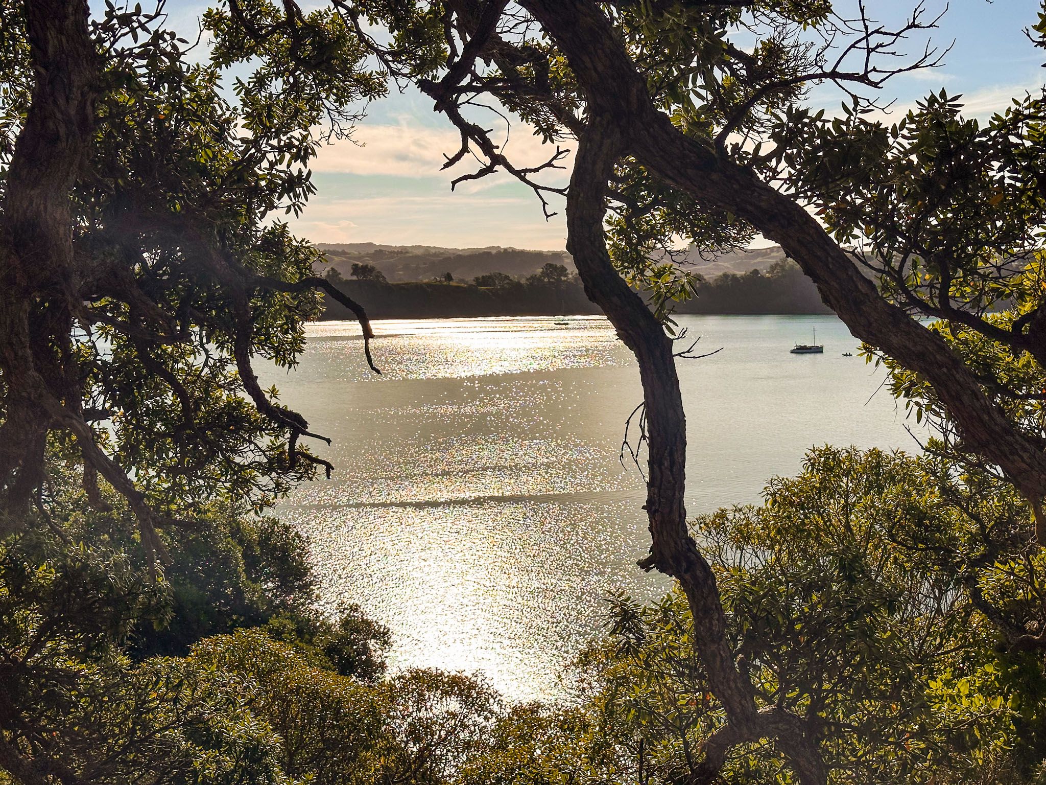
The park spans both sides of the Mahurangi Harbour entrance. The larger section, Mahurangi Regional Park West, is situated in Mahurangi West at the end of Ngarewa Drive. You can reach it via Mahurangi West Road from the Pōhuehue Road section of the Twin Coast Discovery Highway, located between Puhoi and Warkworth.
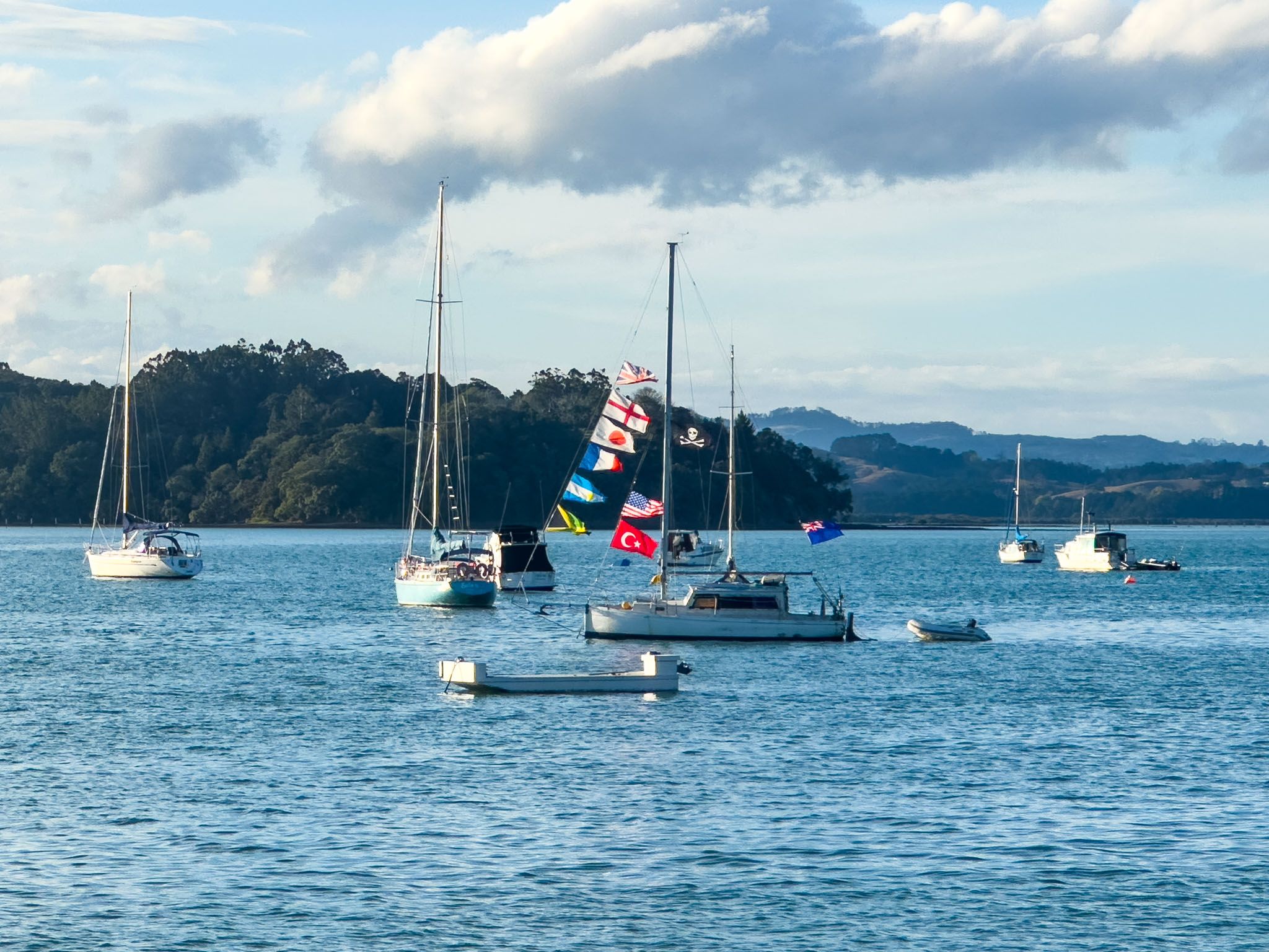
Mahurangi Regional Park East, on the southern end of the Mahurangi Peninsula, is accessible only by boat.
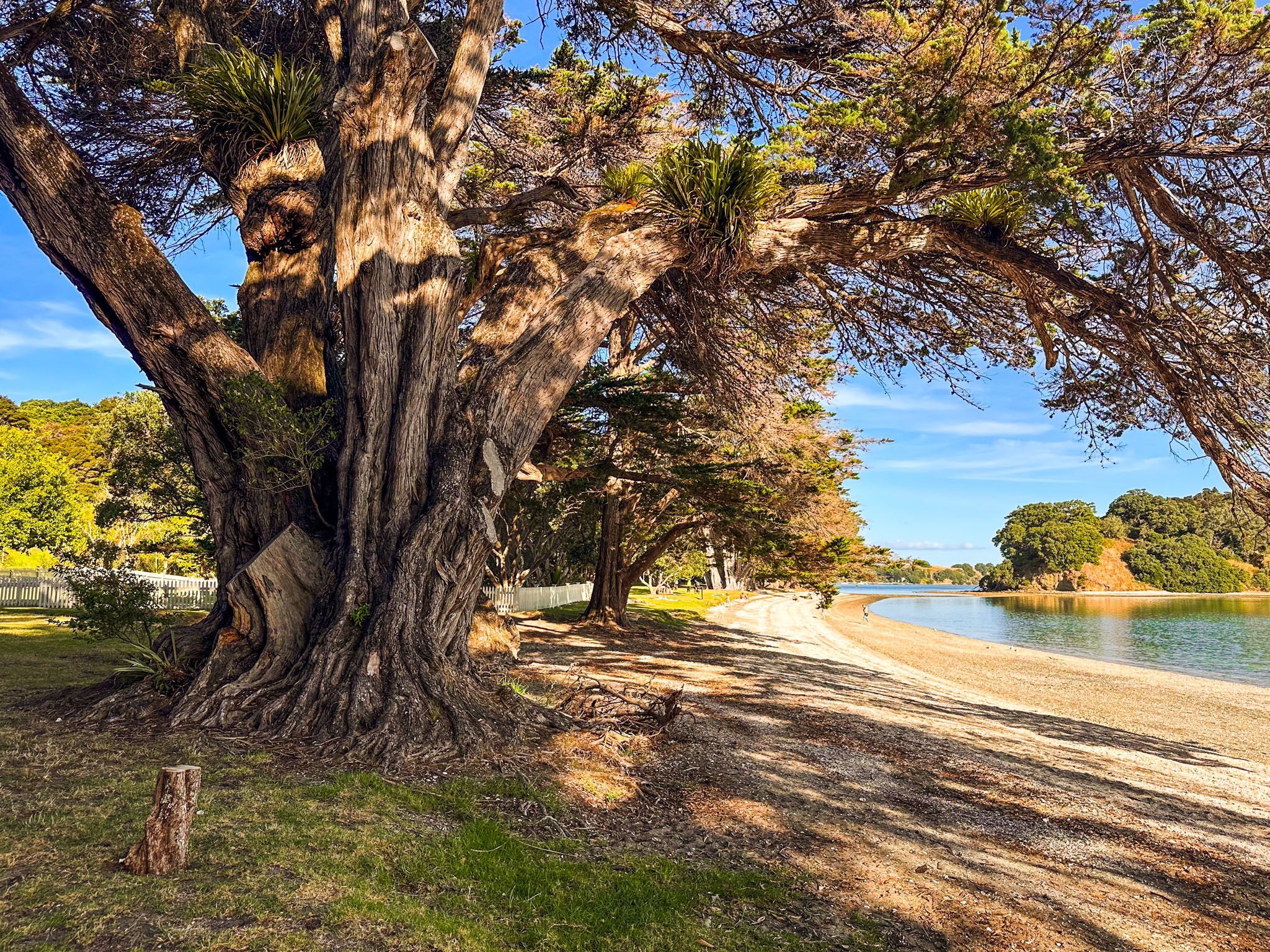
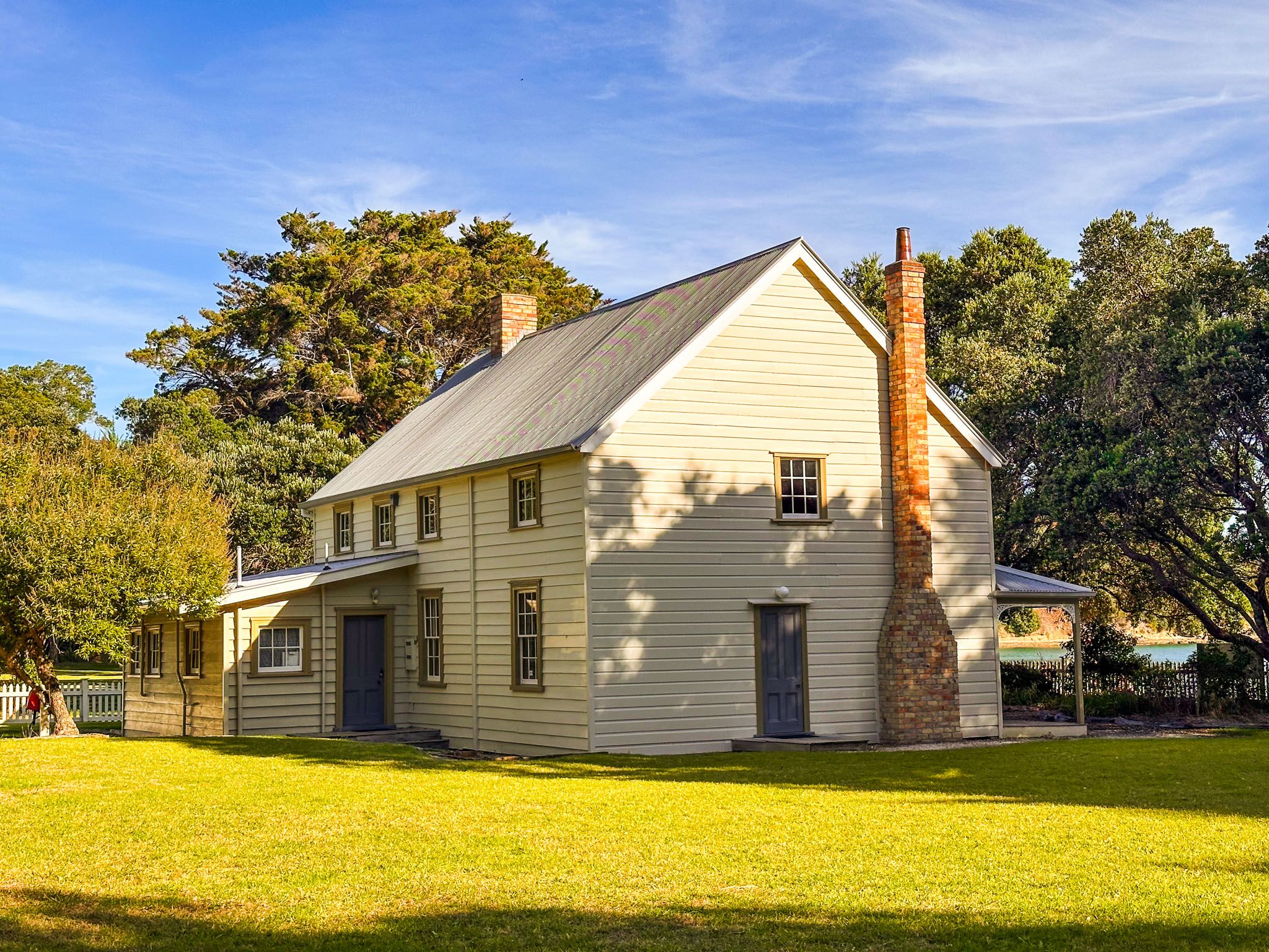
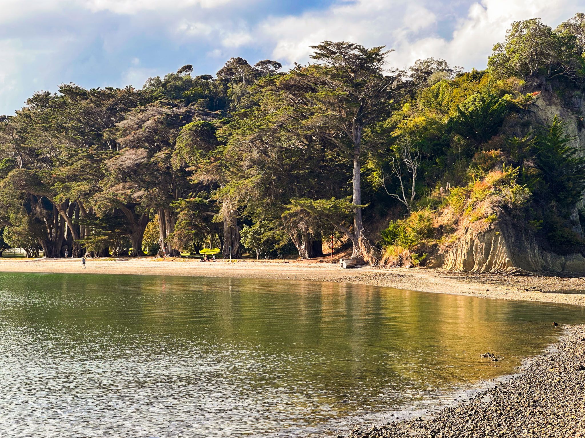
Additionally, a small portion of the park at Scotts Landing on the Mahurangi Peninsula can be accessed via Ridge Road. This area features a wharf and a short boardwalk leading to the historic Scott Homestead and a picturesque beach, home to some of New Zealand's largest macrocarpa trees. At low tide, visitors can also walk to the nearby DOC-controlled Casnell Island.
Bays and Camping
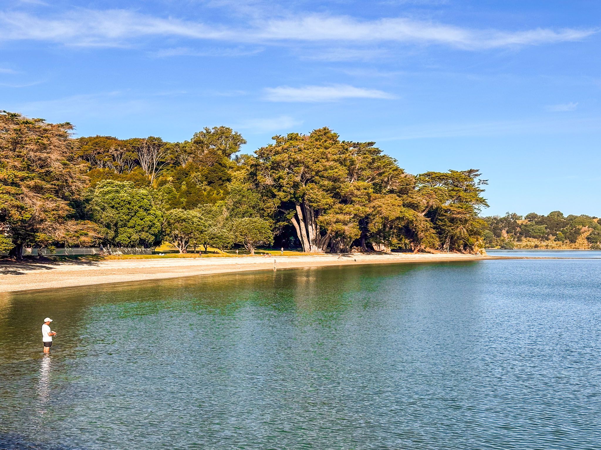
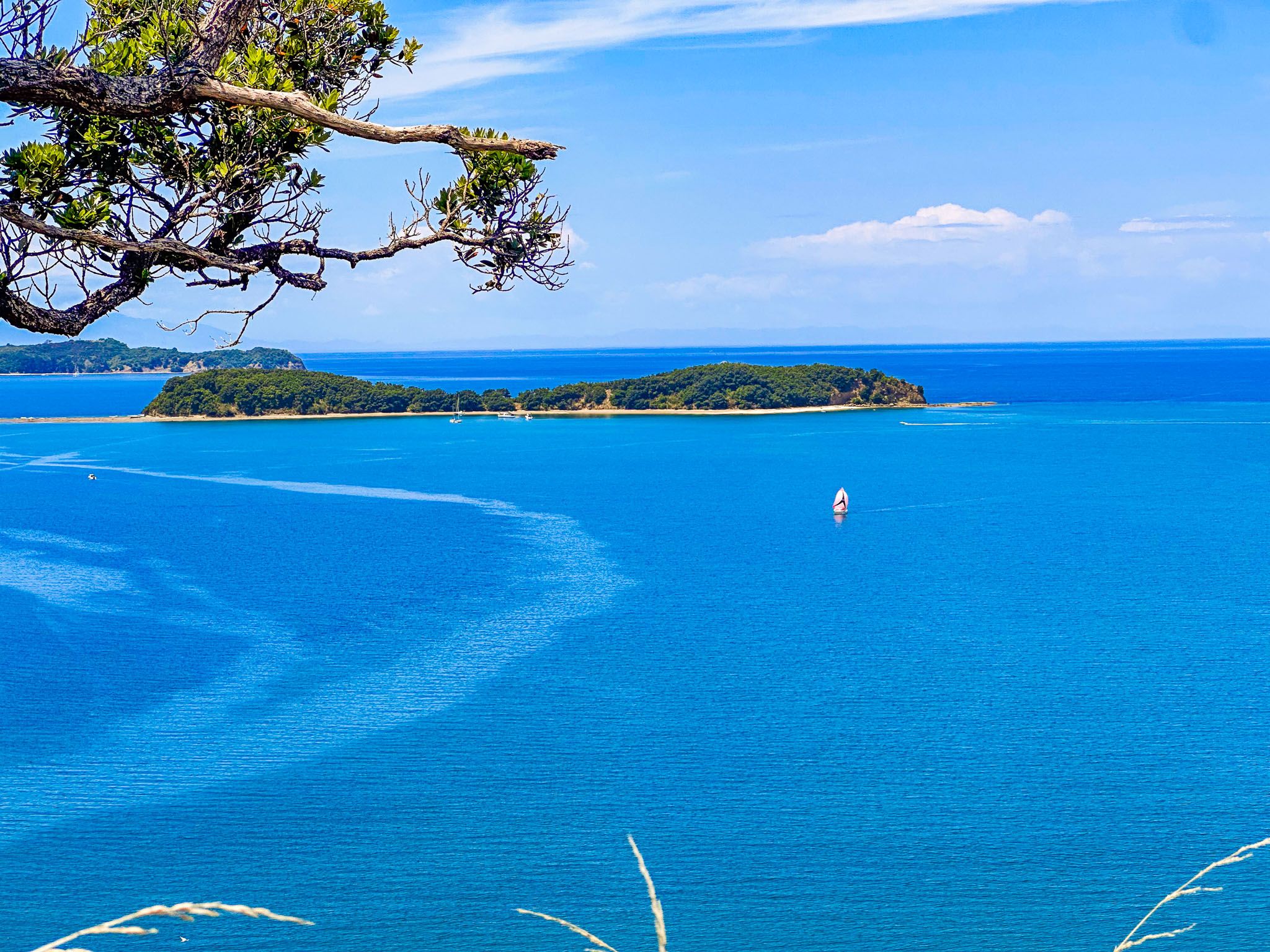
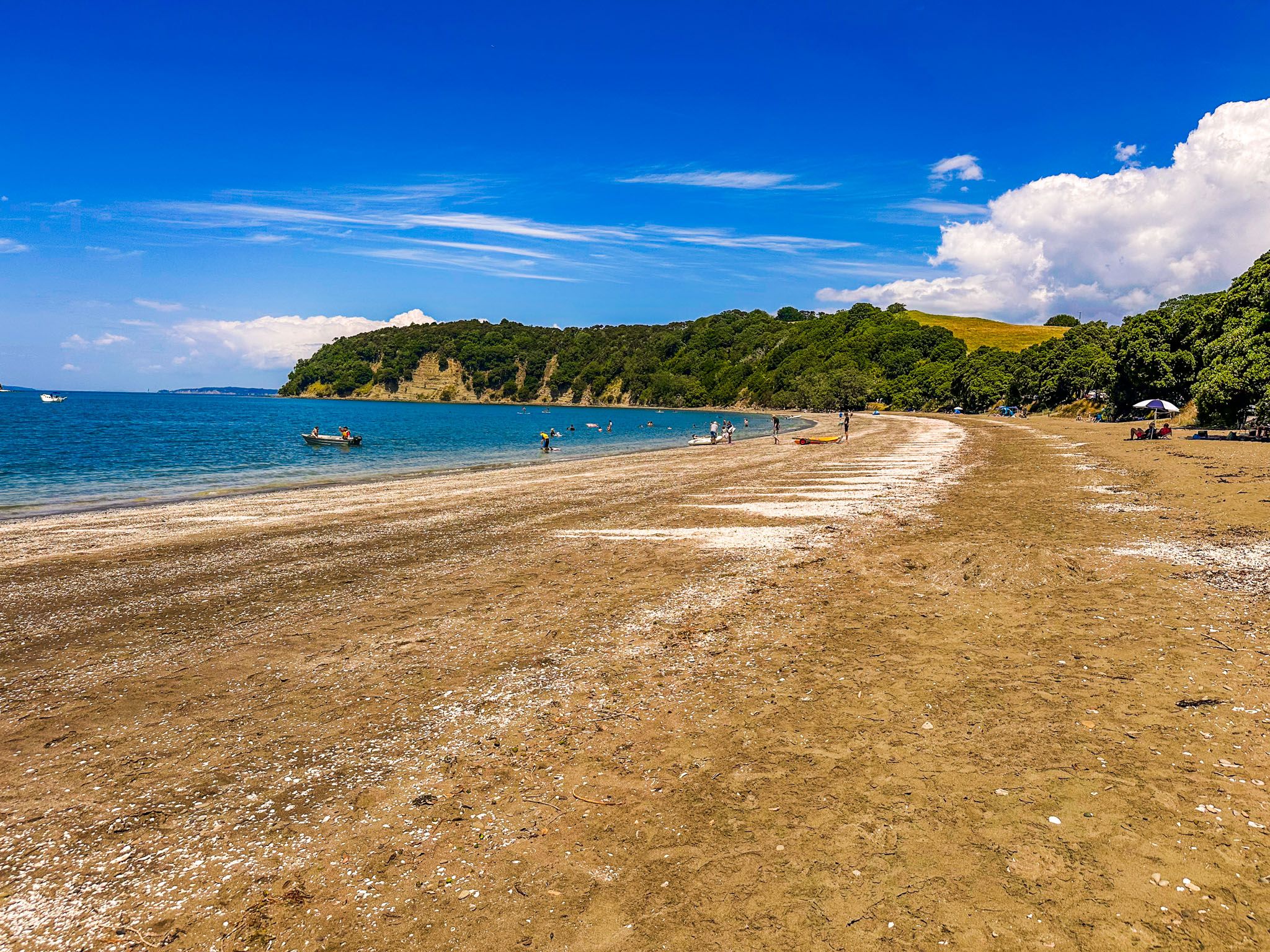
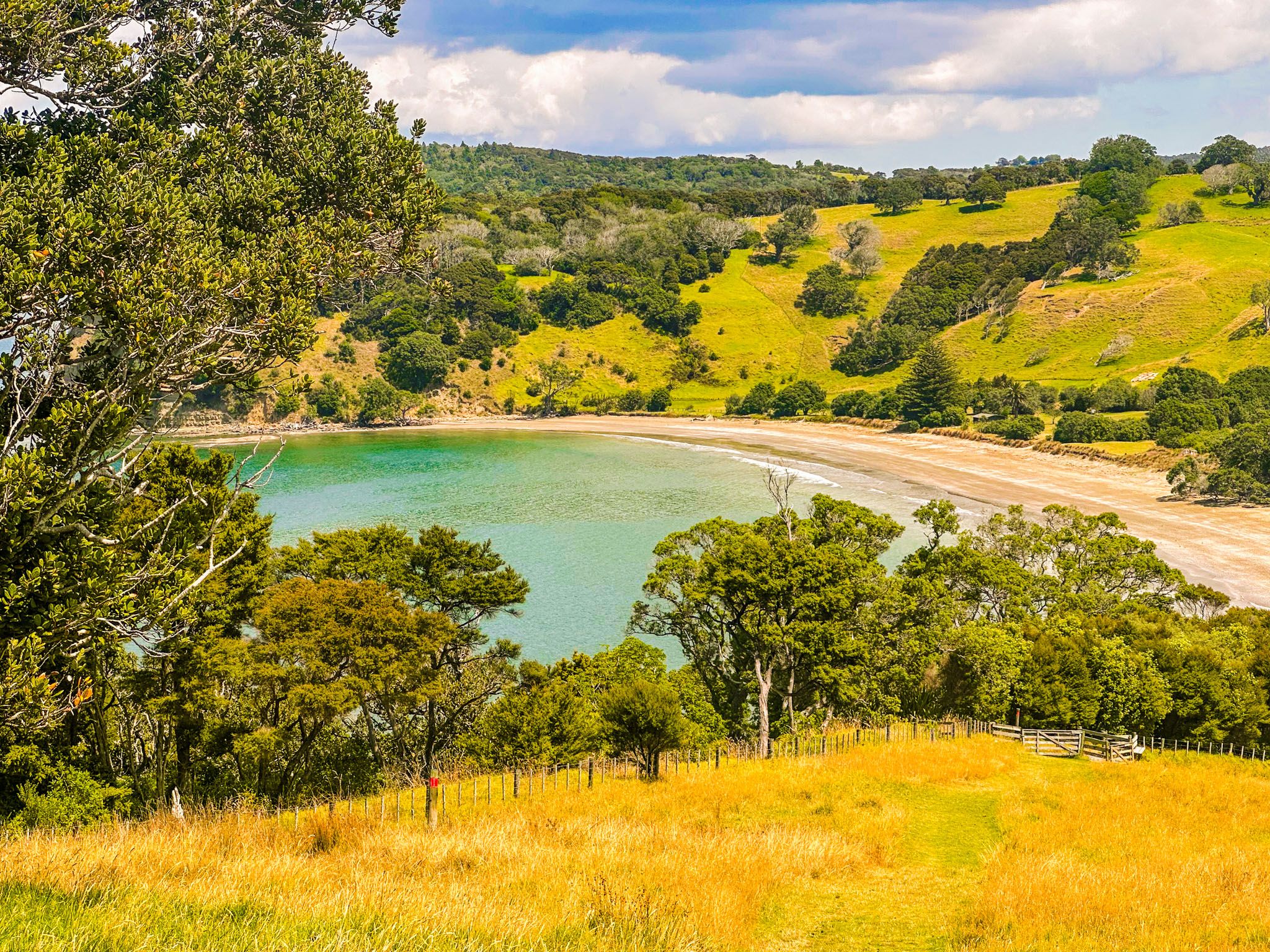
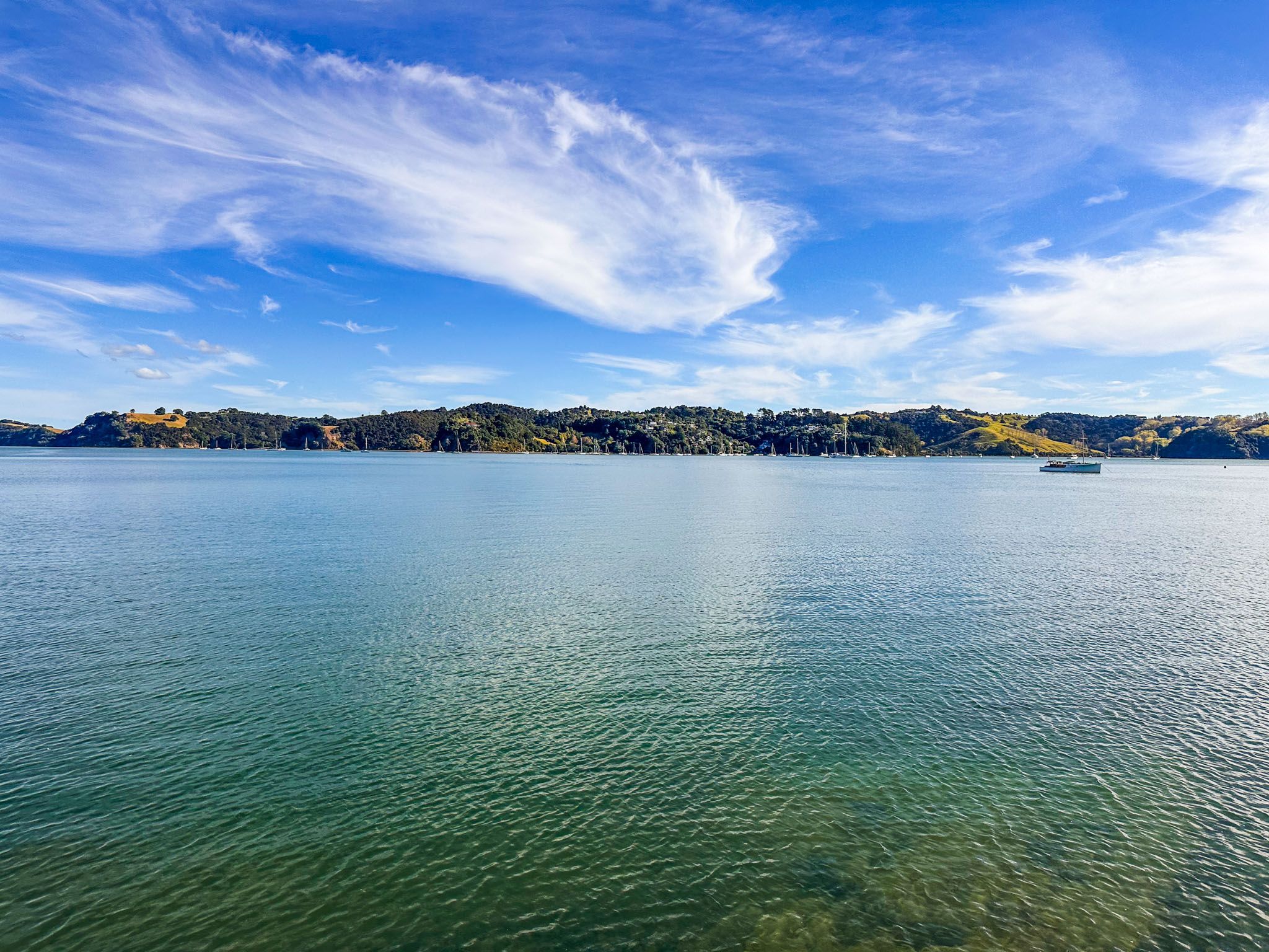
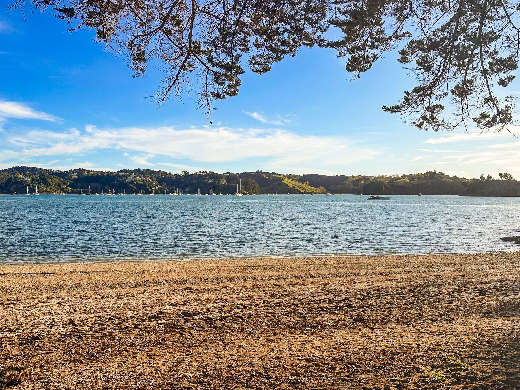
Mahurangi Regional Park West has three stunning bays surrounded by pōhutukawa trees: Otarawao (Sullivan’s) Bay, Otuawao (Mita) Bay, and Te Muri Bay. South of Te Muri Bay lies the Puhoi River mouth and Wenderholm Regional Park.
Otarawao Bay is the only bay with road access and ample parking, and has campsites for tents and campervans. Tent-only campgrounds are available at Otuawao (Mita) Bay to the north and Te Muri Bay to the south, both requiring access by foot or boat. Walking to Te Muri Bay is possible for two hours on either side of low tide.
Accommodation Options
At Scotts Landing, Bailey’s Cottage is available for rent. Visitors can also take a boat to Mahurangi Regional Park East to stay at Big Bay Bach, Vine House, or the campsite at the north end of Lagoon Bay.
Walking Trails and Natural Features
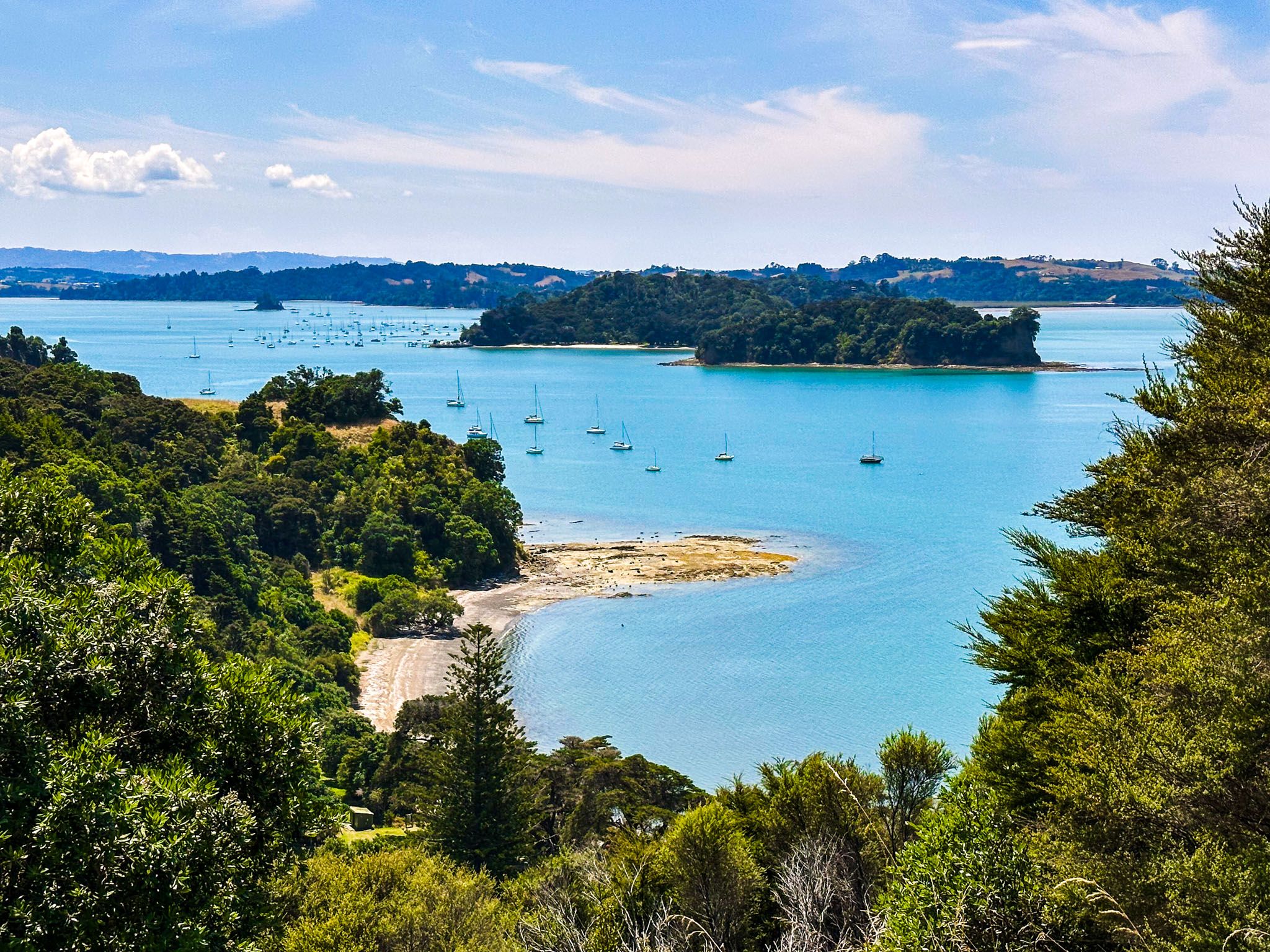
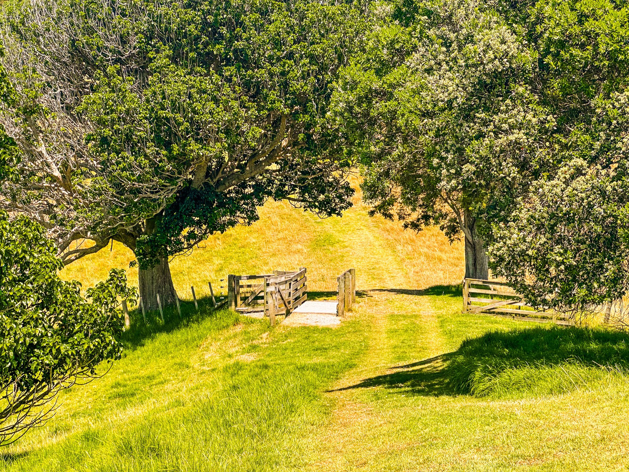
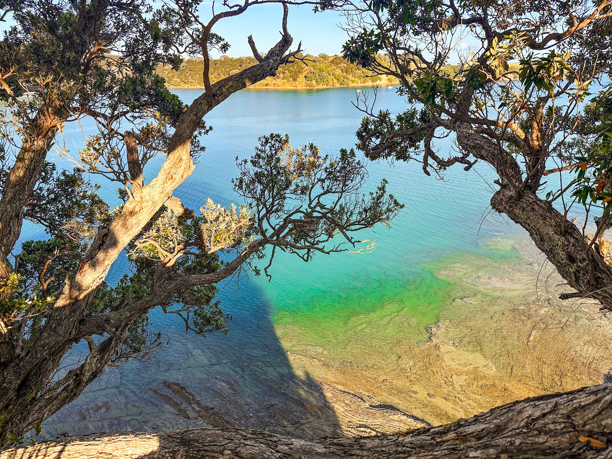
The park's western section features several walking trails connecting bays and viewpoints. The steep 2.1 km Mita Bay Loop Track begins near the park entrance, leading to Otuawaea (Mita) Bay and connecting with the 1.2 km Tungutu Loop Track to Tungutu Point. This track links with the 3 km Cudlip Point Loop Track, which leads to Otarawao Bay, Cudlip Point, and the 3 km Te Muri Track to Te Muri Bay.
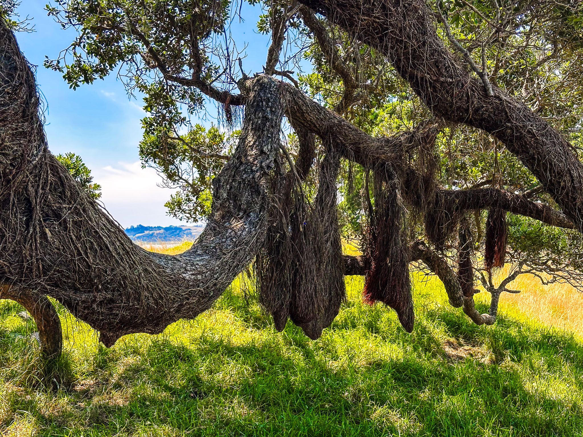
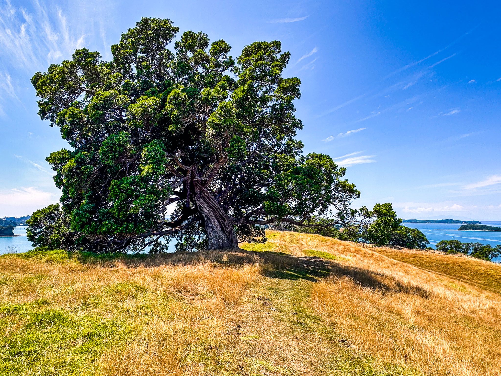
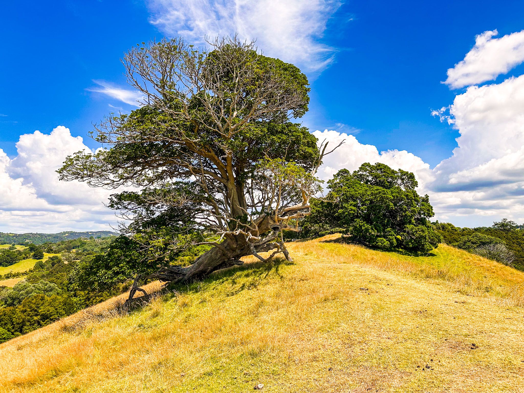
Over the past 20 years, 120,000 trees have been planted to restore the forests and attract native birds. The best coastal forests are found at Cudlip and Te Muri Points, featuring kānuka, taraire, pūriri, karaka, and kōwhai. The trails also offer views of individual trees uniquely shaped by the coastal environment.
Cultural and Historical Significance
The western part of the park is part of the ancestral domain of the Ngāti Rongo hapū, with four pā sites located at Opahi, Cudlip, and Te Muri Points, and above Otarawao Bay. In 1844, John Sullivan, an entrepreneurial ship owner, settled at Te Muri and married Merehai, a Ngāti Rongo woman. Sullivan lived with his family at Ōtarawao Bay until the 1850s when his land claim was rejected in favour of the Hermera’s Reserve settlement.
Although Sullivan relocated to the Mahurangi Peninsula, his family name remains associated with the bay, and his descendants returned in the 1900s. Sullivan and over 100 Māori and European settlers are buried in the Te Muri urupā.
Getting to Mahurangi Regional Park
To reach Mahurangi Regional Park West, drive to the end of Ngarewa Drive via Mahurangi West Road from the Pōhuehue Road section of the Twin Coast Discovery Highway, between Puhoi and Warkworth.
For Mahurangi Regional Park East, access is by boat only. Scotts Landing is accessible via Ridge Road, where a wharf and boardwalk lead to the historic Scott Homestead.
Nearby options include Wenderholm Regional Park, immediately to the south, Matakana, Snells Beach, Scandrett Regional Park and Martins Bay.