Warkworth: Gateway to the Matakana Coast
Warkworth is a charming town located on the Mahurangi River in the northern part of the Auckland region, just 64 km north of Downtown Auckland. Known as the gateway to the Mahurangi region, it is the largest town on the Matakana Coast. Visitors are drawn to its picturesque setting and the variety of activities it offers, including a scenic river walk and access to nearby regional parks.
Exploring the Town and River Walk
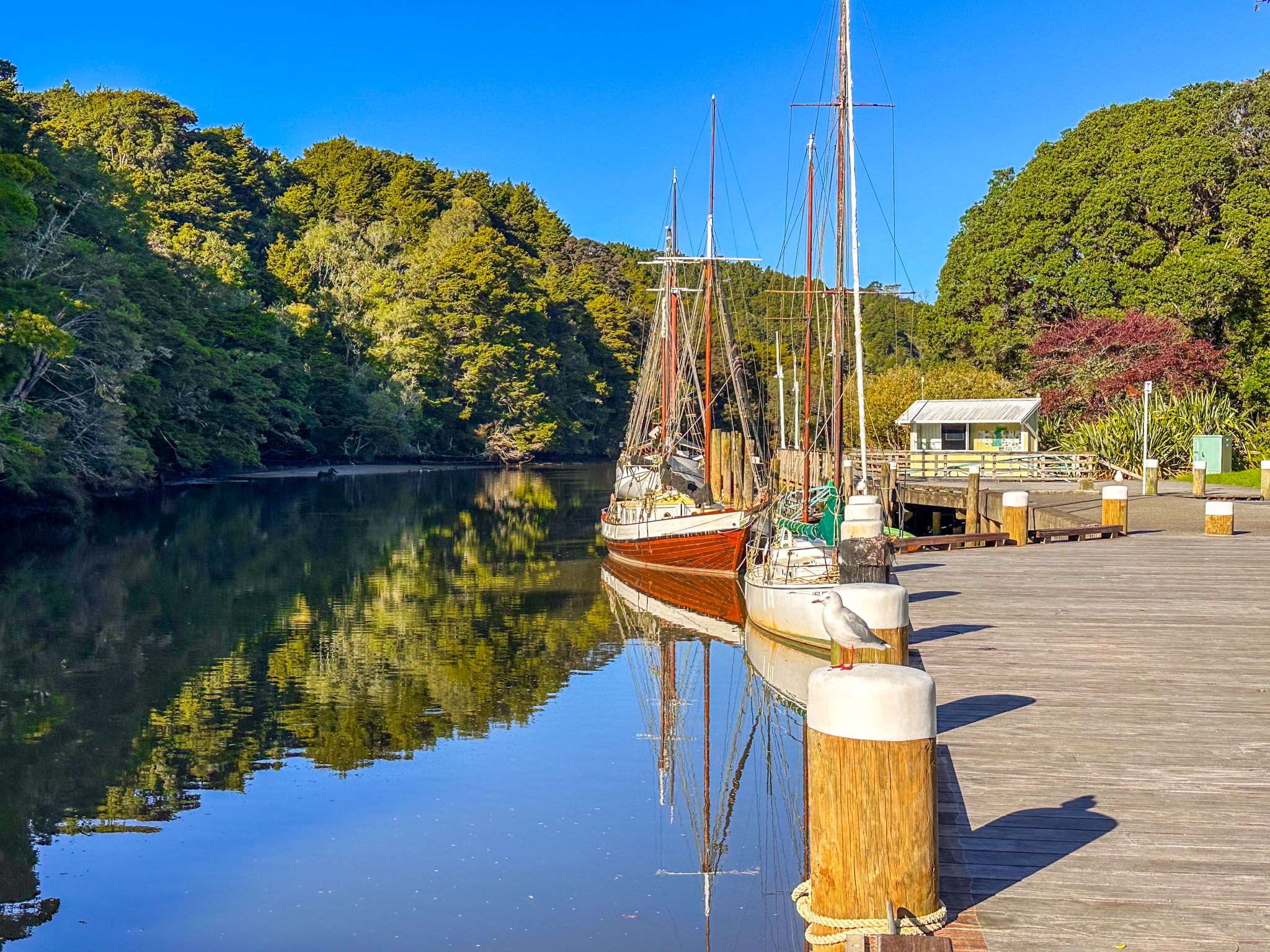
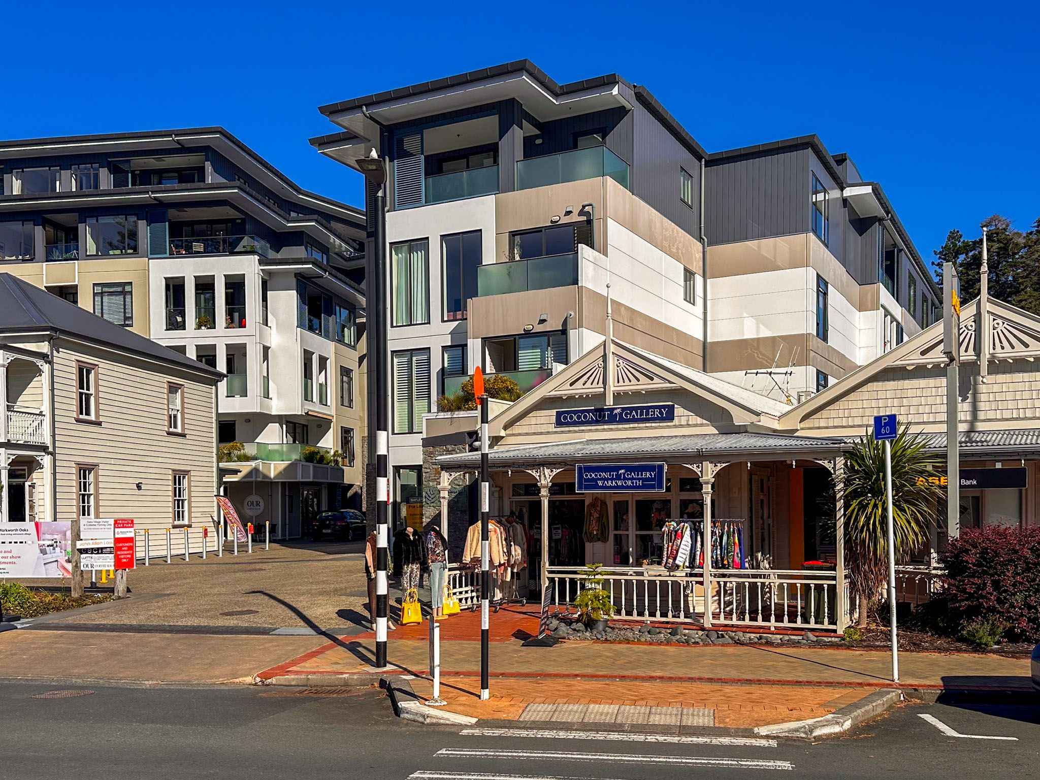
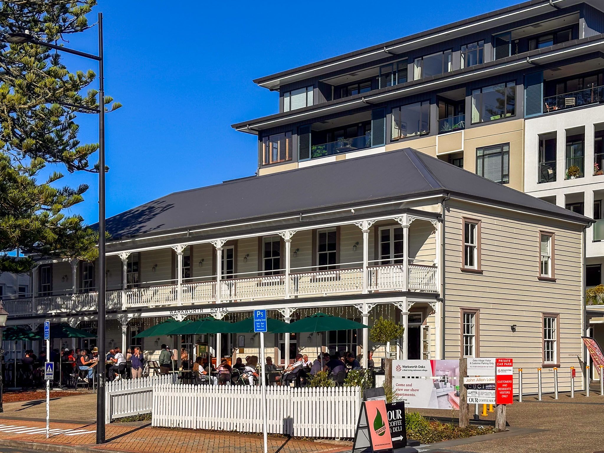
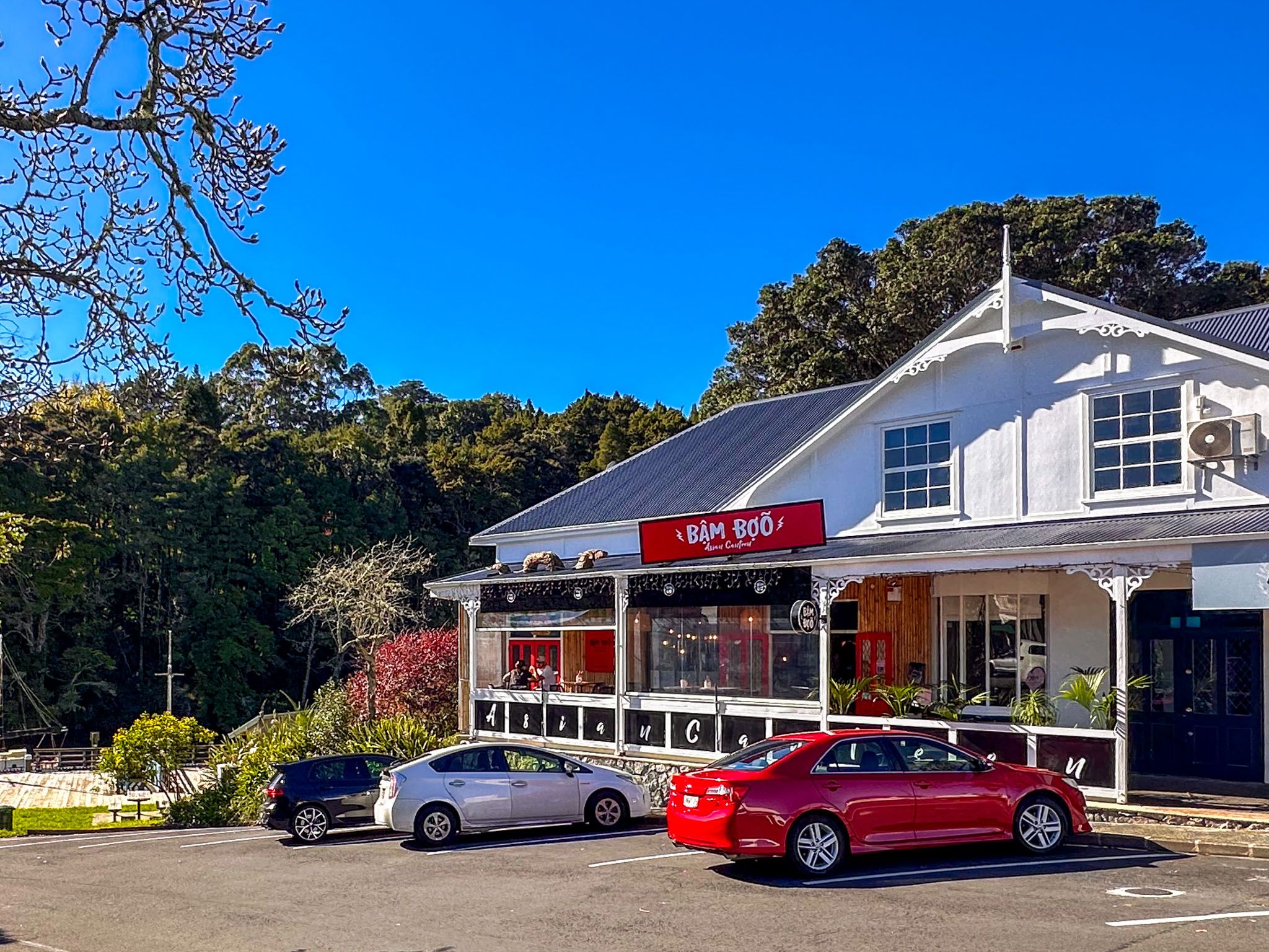
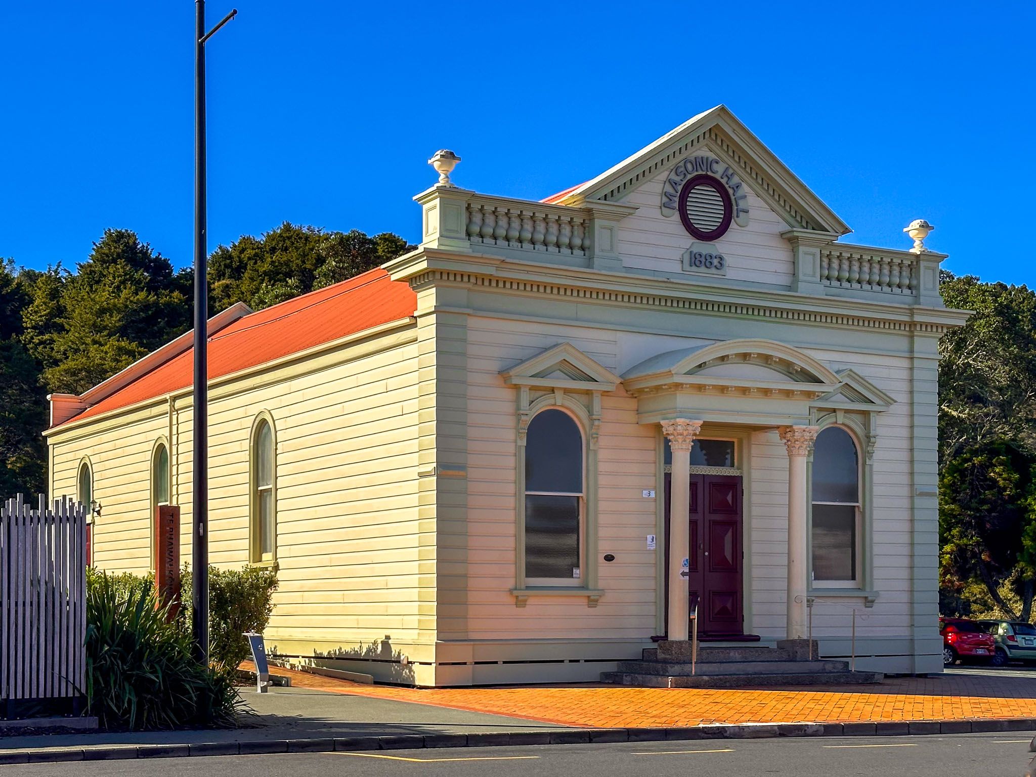
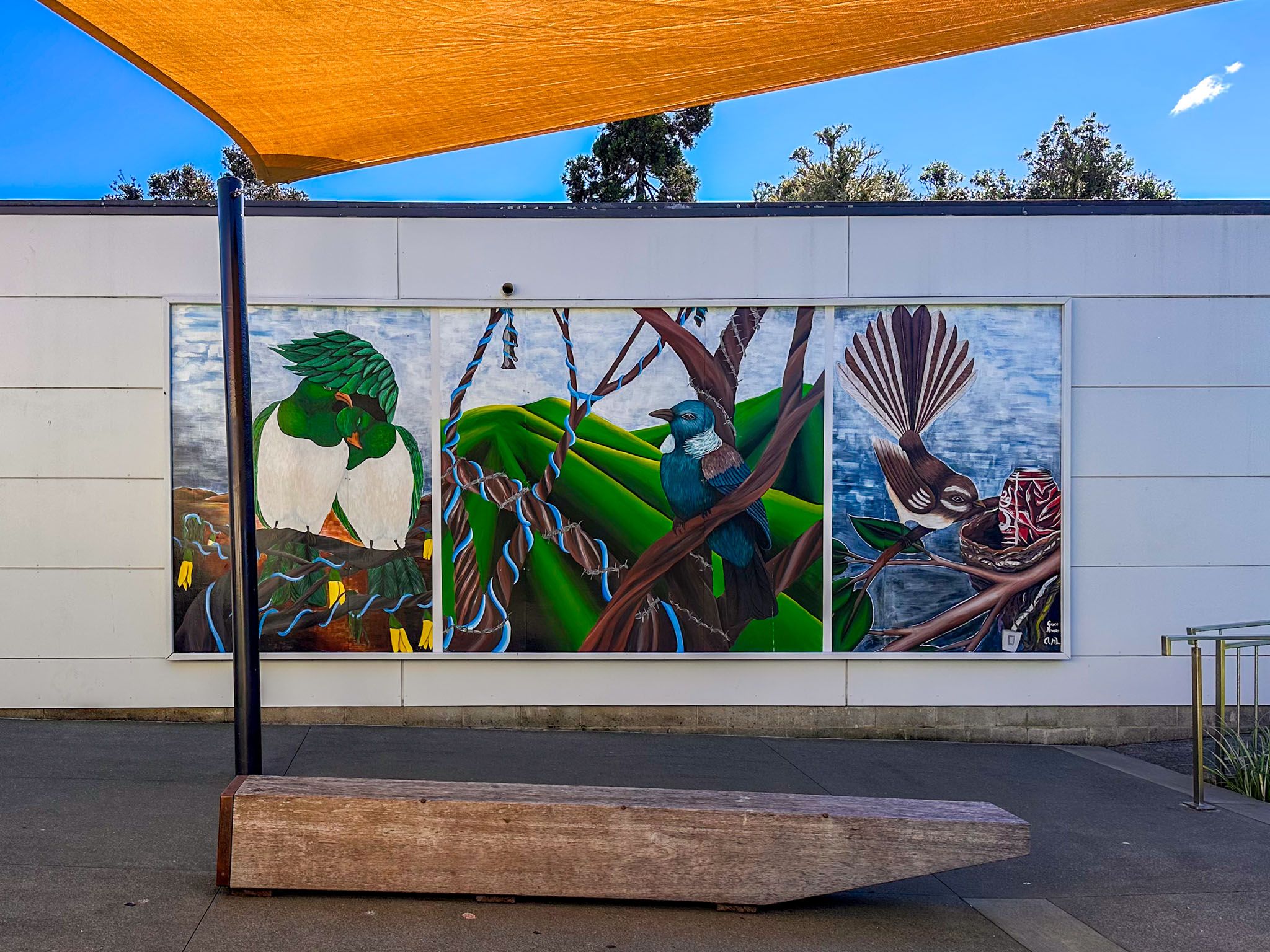
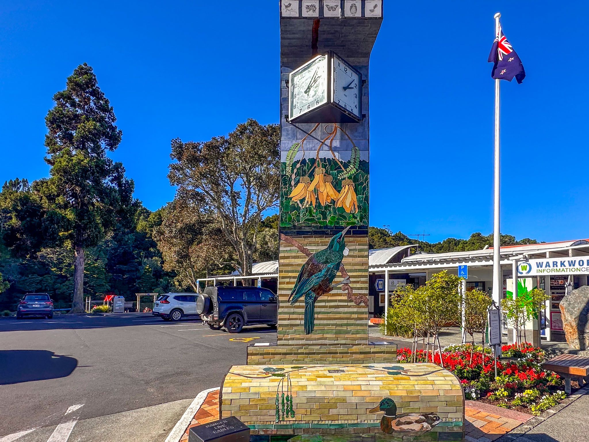
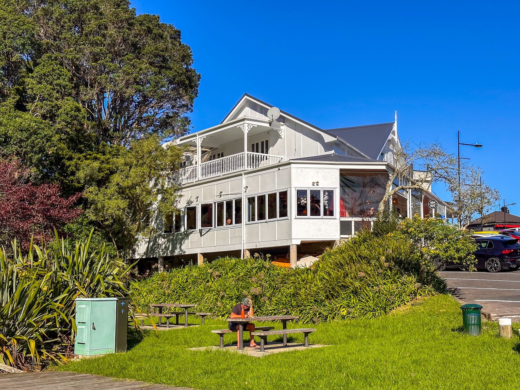
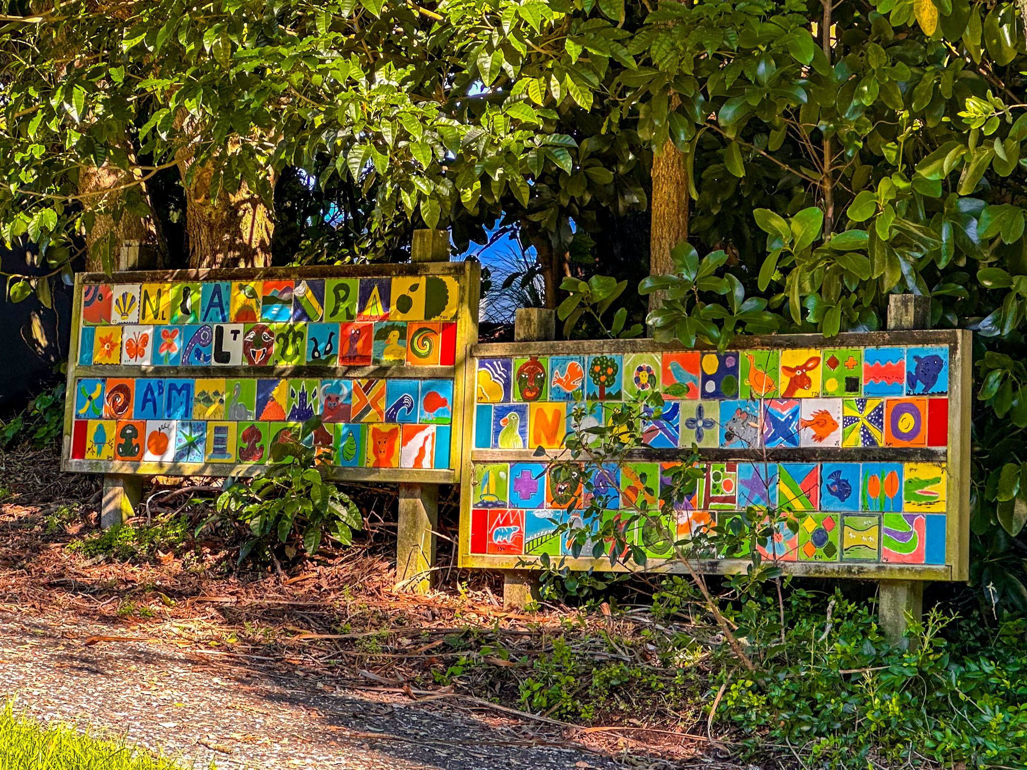
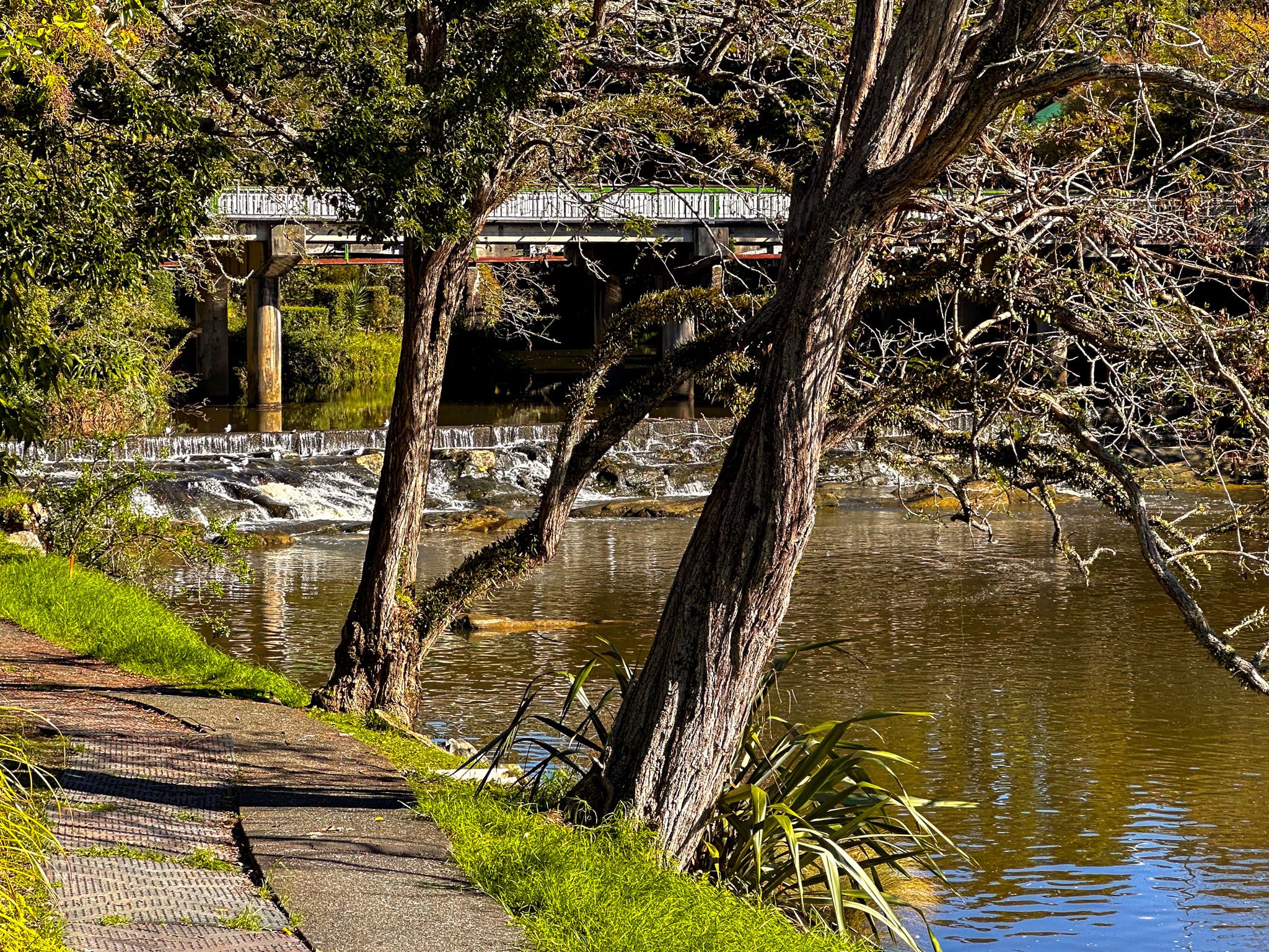
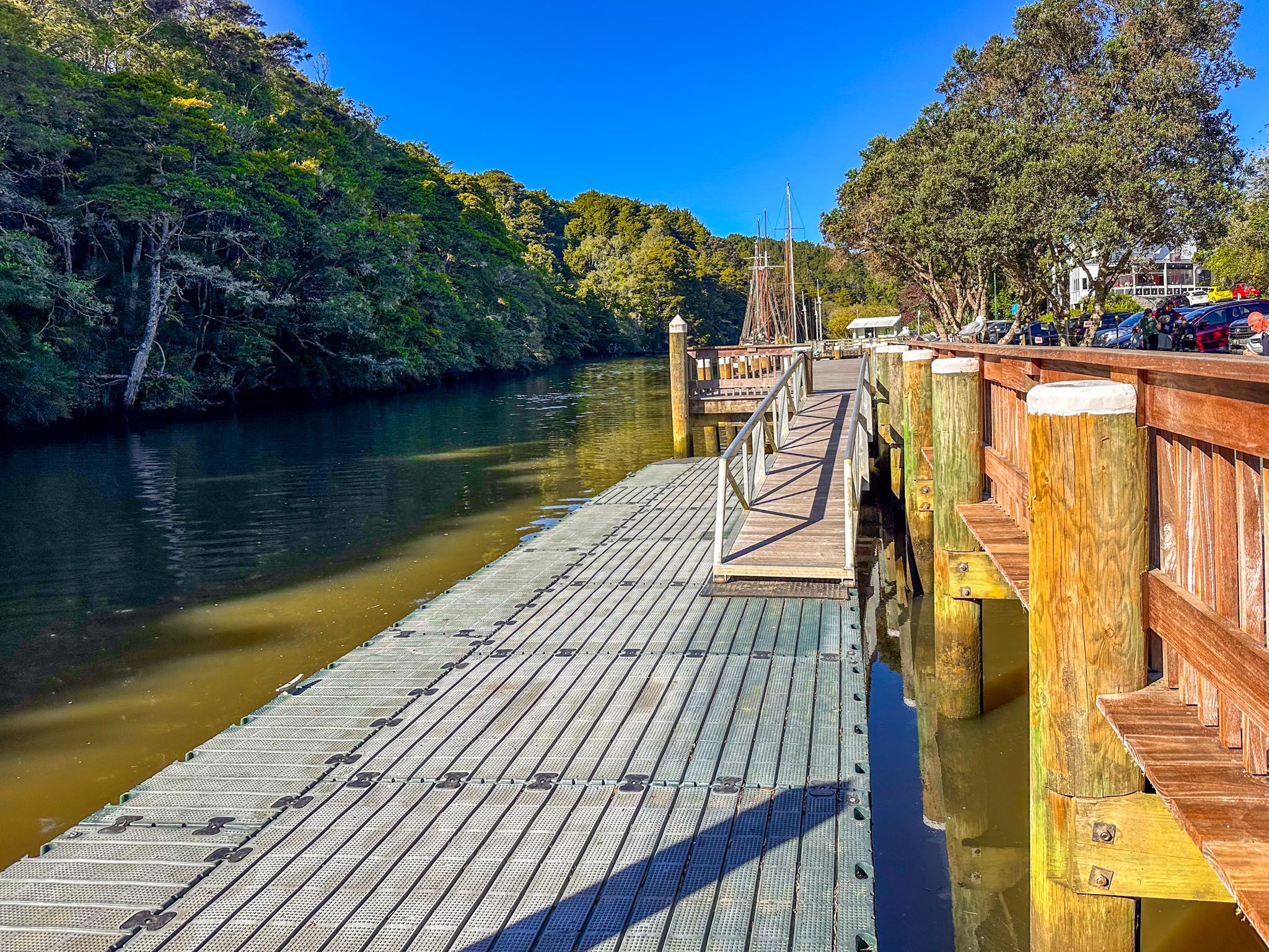
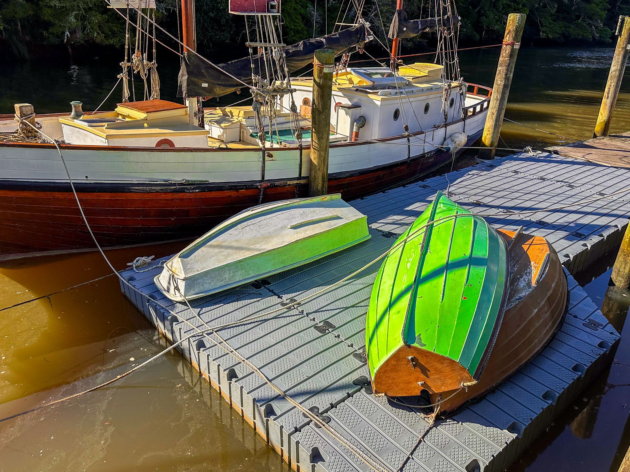
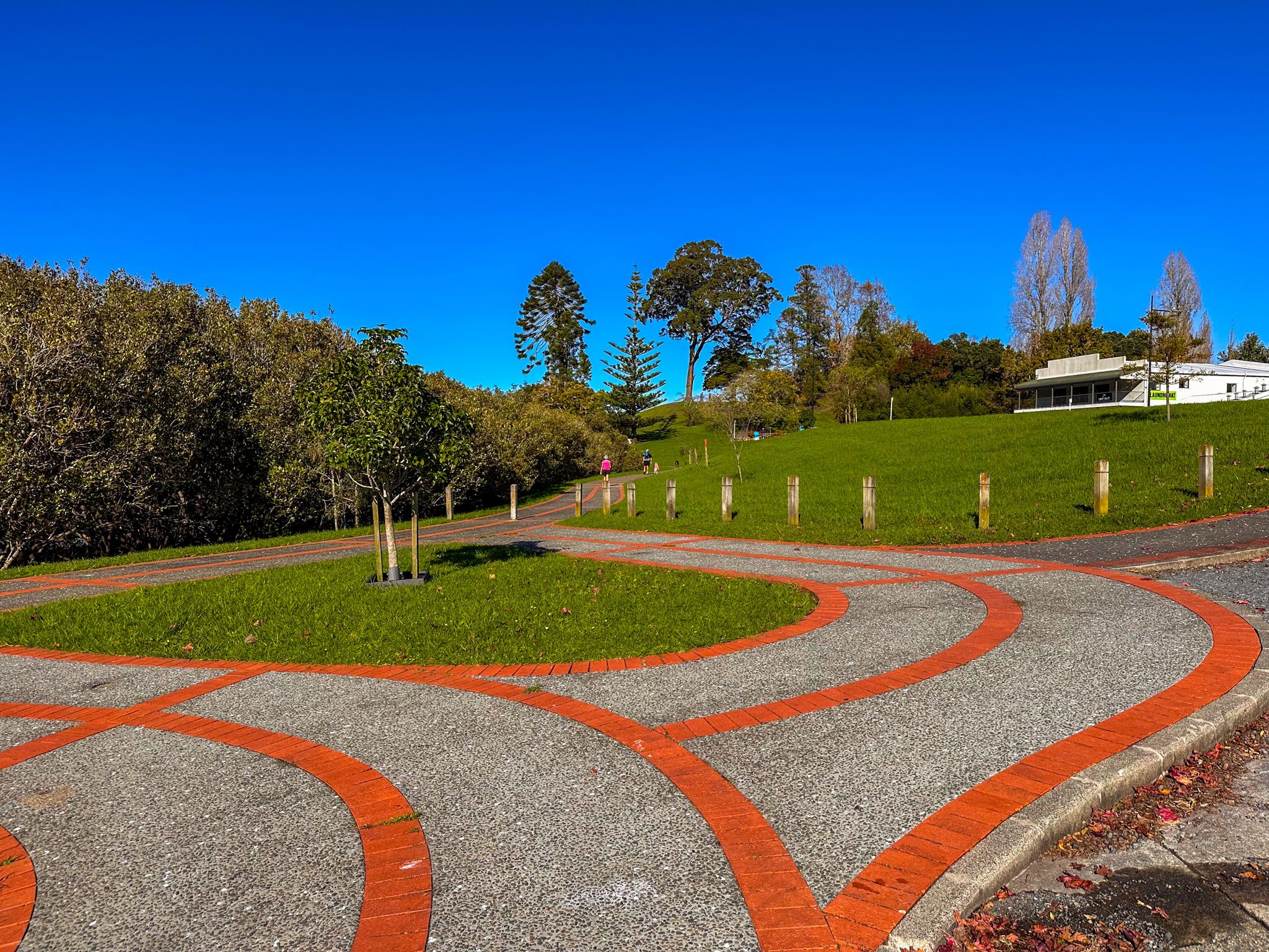
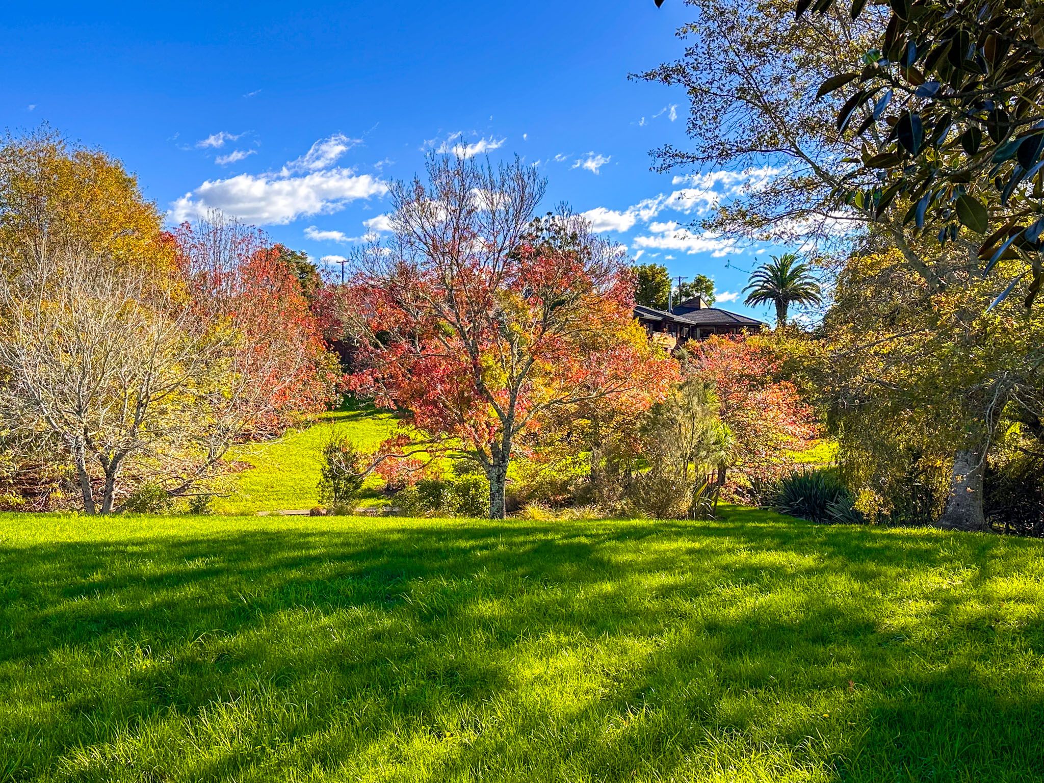
The town centre of Warkworth reflects its English heritage, offering a variety of services and eateries. A highlight for visitors is the Mahurangi River walk, which begins in the town centre and connects to Lucy Moore Memorial Park. This short walk features a low waterfall at its western end, located below the main highway bridge. The path runs east along the river, behind the main street shops, and offers grassy reserves, seating, a wharf with boats, and lovely river views. For those interested in exploring further, boat trips along the river to the harbour or kayak rentals are available.
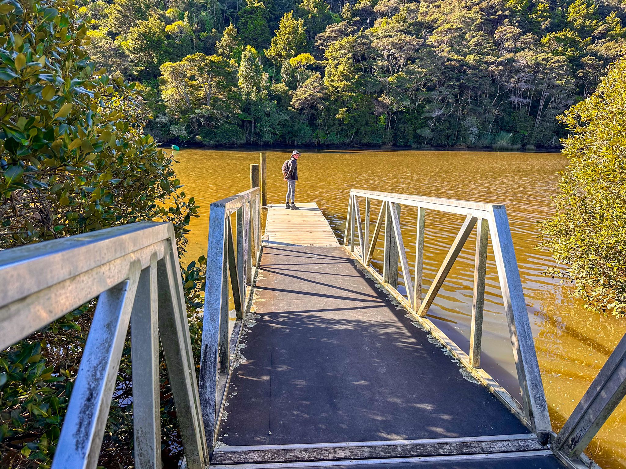
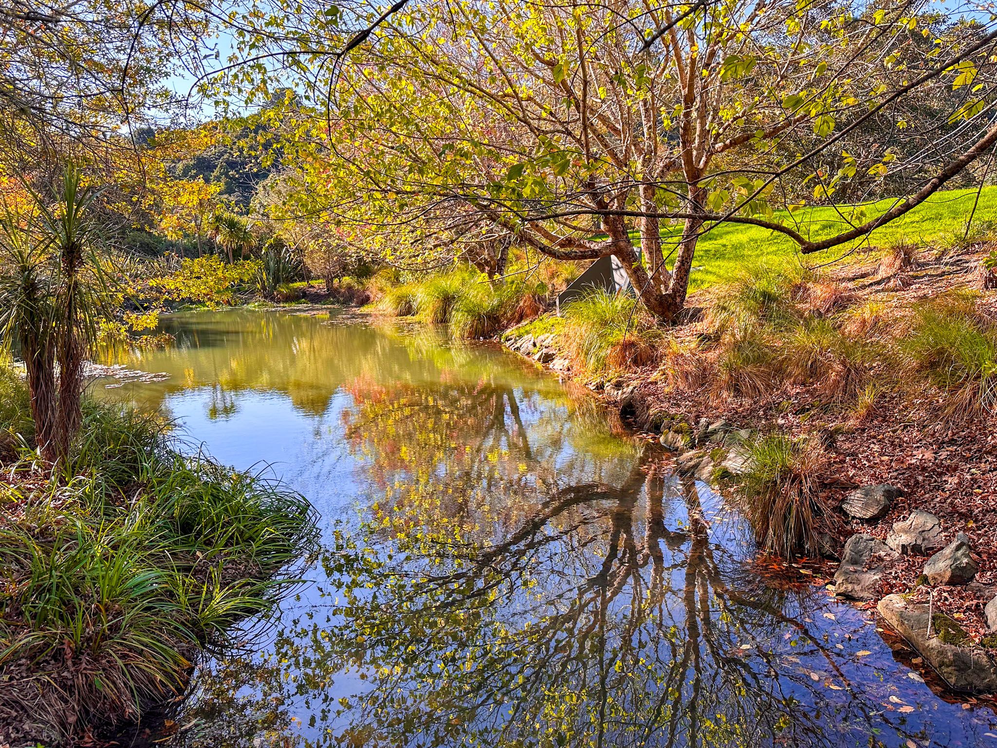
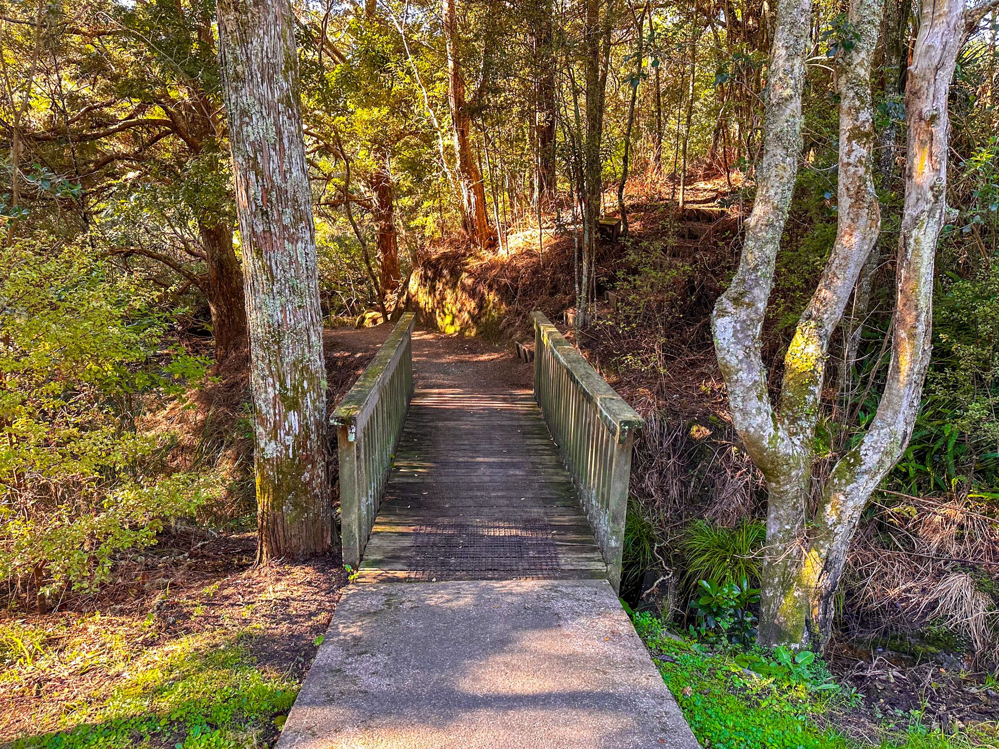
The walk extends through Lucy Moore Memorial Park, past a water treatment station, and follows a short forested section along the mangrove-lined river edge, ending at Rivendell Place. A small point with exotic oak trees, located west of the water treatment station, offers a peaceful spot for a break. The entire walk is approximately 1.5 km each way, and visitors can return through the town streets to explore local shops and eateries.

Historical Sites and Activities
Warkworth is home to the historic Wilsons Cement Works ruins on Wilson Road, east of the town. This site includes a marina, a water-filled old limestone quarry, and green spaces ideal for picnics. Although not a typical tourist destination, it offers an interesting glimpse into the area's industrial past.
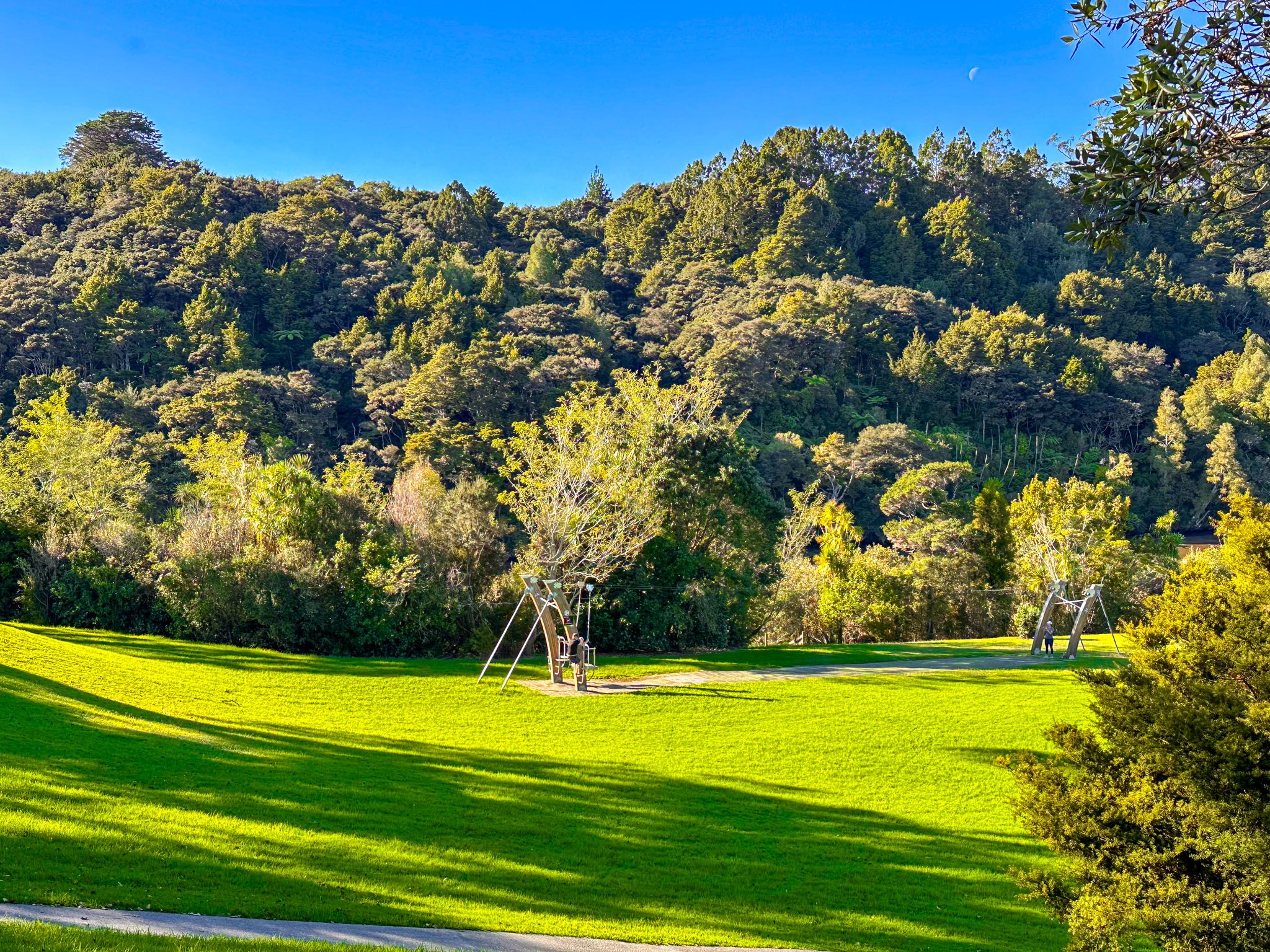
Another option is the Parry Kauri Park, with two of the oldest kauri trees alongside a beautiful boardwalk through regrowth forest next to the local museum.
Māori Heritage and European Settlement
The Mahurangi region has been settled by Māori since the 13th century. The Mahurangi River, known as Waihē to local Māori, was navigable up to the waterfall under the main highway bridge, about 6 km from Mahurangi Harbour. The area, once surrounded by kauri forest, was called Puhinui by Māori, likely referring to the large eels in the river or possibly the waterfall itself. The region was a source of wood for building waka and other supplies.
In the 1820s, the local hapū, including Ngāti Rongo, Ngāti Kā, and Ngāti Raupō, were displaced during the Musket Wars when Ngāpuhi invaded. They returned before and after the Treaty of Waitangi in 1840, but their rights were affected by the Mahurangi Purchase of 1841. Compensation was provided in the 1850s with the restoration of 18,000 acres as Hemara’s Reserve, south of Warkworth. The land around Warworth became available for wide European settlement.
The first European settler, John Anderson Brown, established a dam and timber mill at Puhinui in 1844, known as Browns Mill. Brown founded the town in 1853, naming it after Warkworth in Northumberland, England. The streets were named after nearby villages and significant Northumbrian families. Until the 1870s, the area was also commonly referred to as Upper Mahurangi.
Today, Warkworth is rapidly expanding and serves as a central hub for visitors exploring the Mahurangi region and beyond.
Getting to Warkworth
Warkworth is easily accessible from Auckland, located 64 km north of the city. The drive takes approximately 45 minutes via the motorway, with clear road signs for the town centre.
There are numerous other options from the town. Mahurangi Regional Park West is a 19 km, 20-minute drive south from Warkworth on the Twin Coast Discovery Highway, then Matakana West Road. Matakana is a 15-minute drive to the northeast, followed by Ōmaha, Ti Point, Matheson Bay, Leigh and Goat Island. To the east is the Mahurangi Peninsula with Snells Beach, Scandrett Regional Park and Martins Bay.