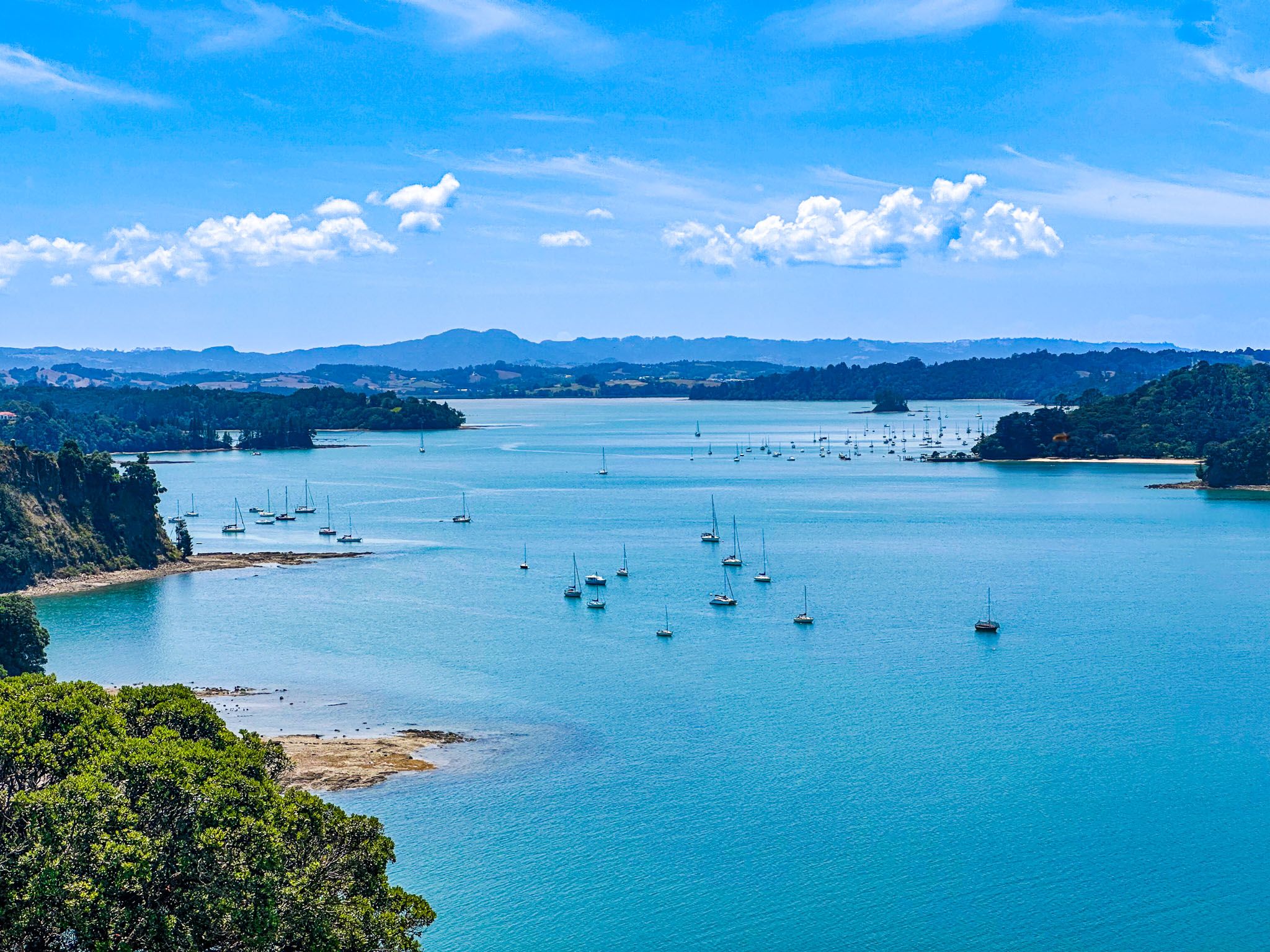
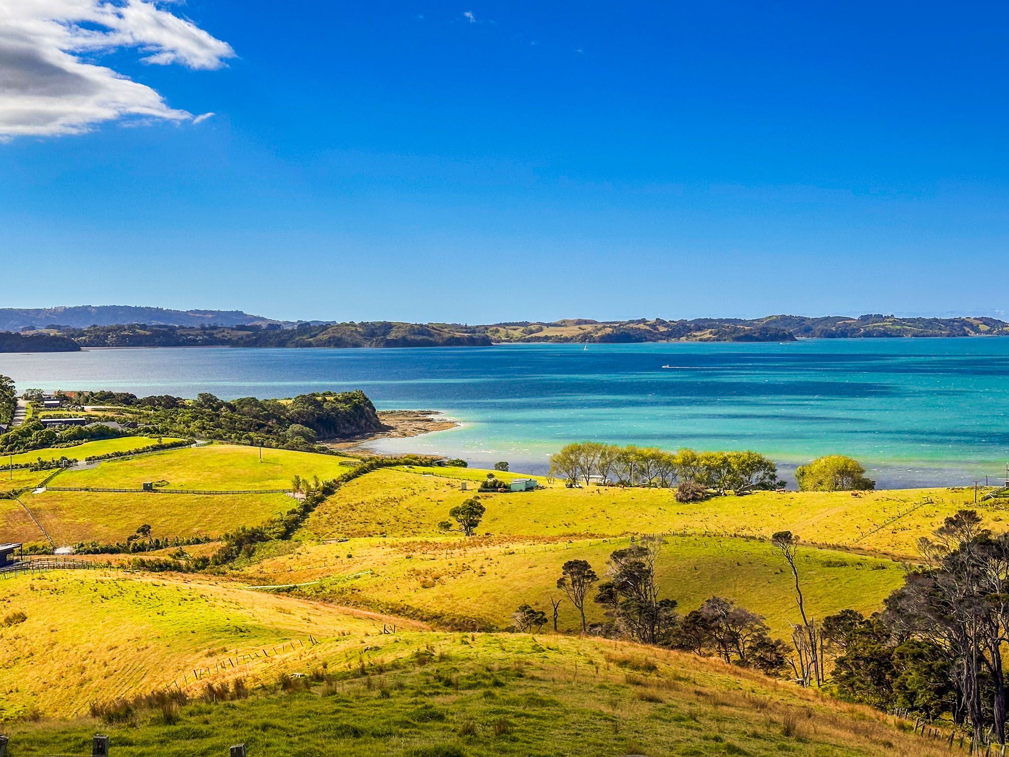
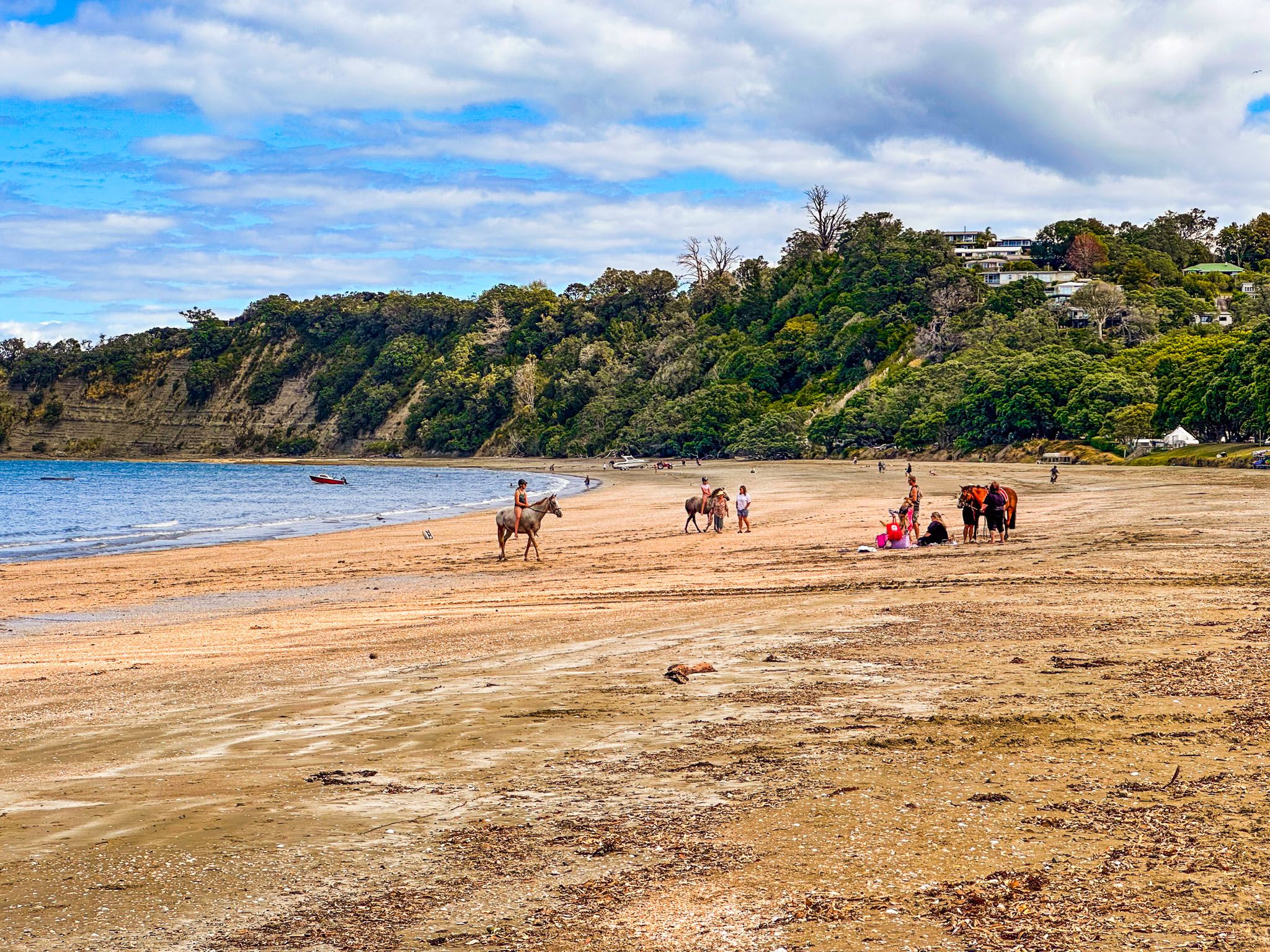
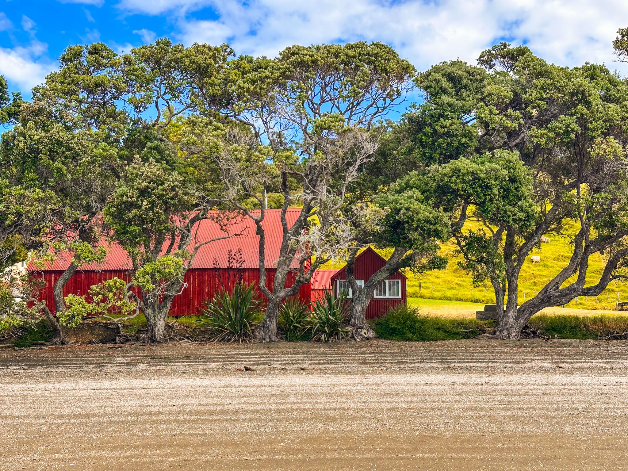
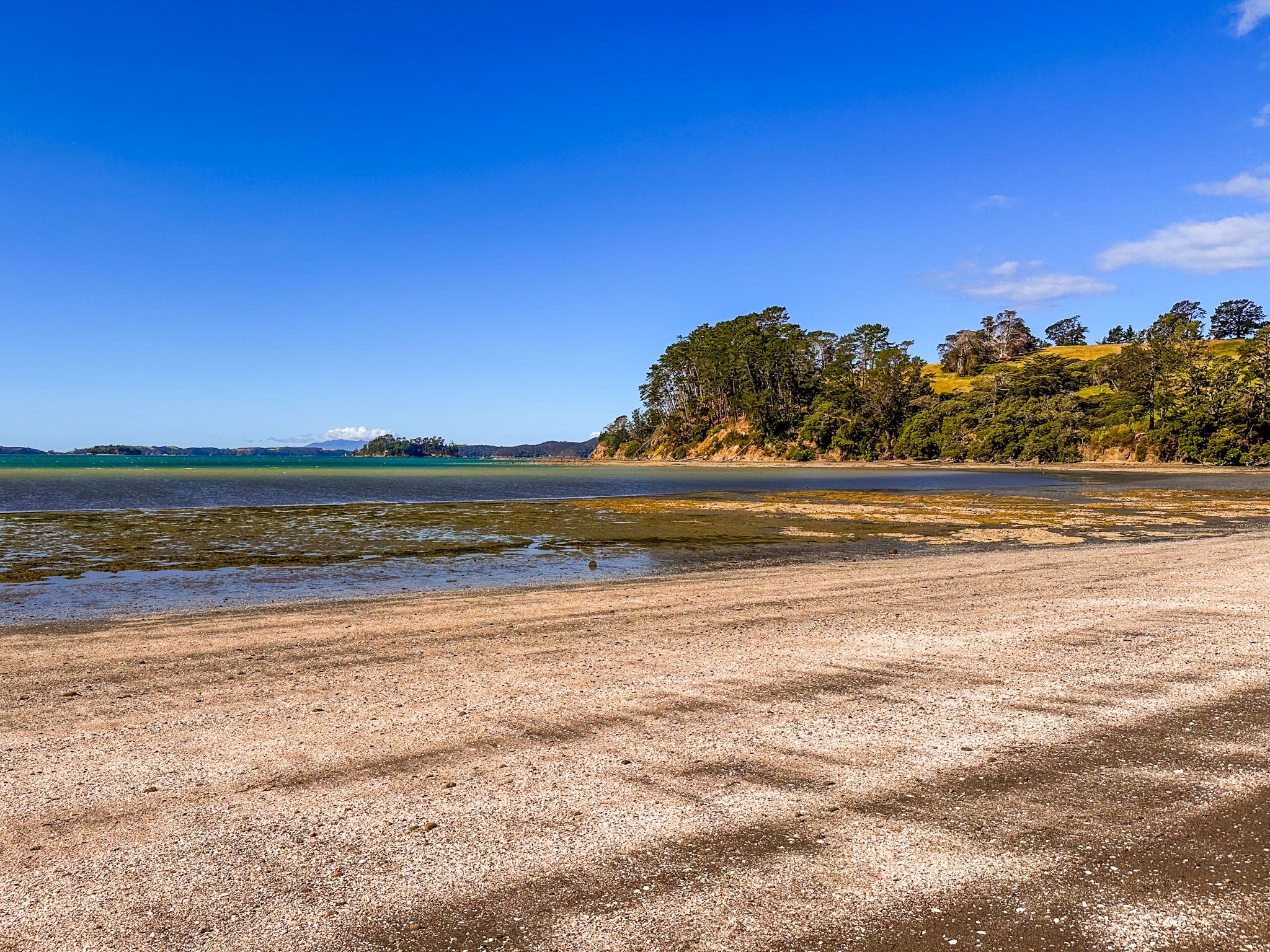
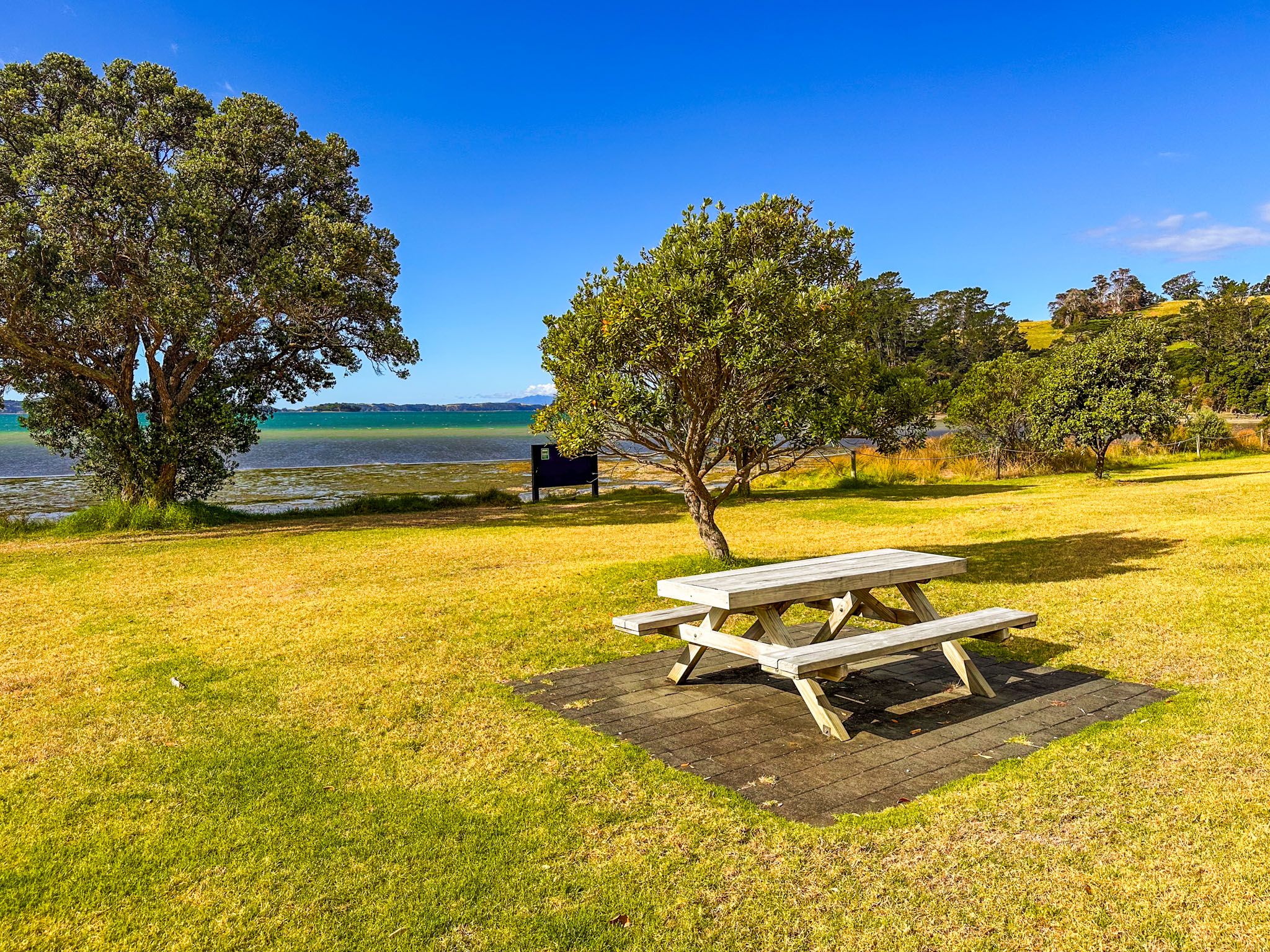
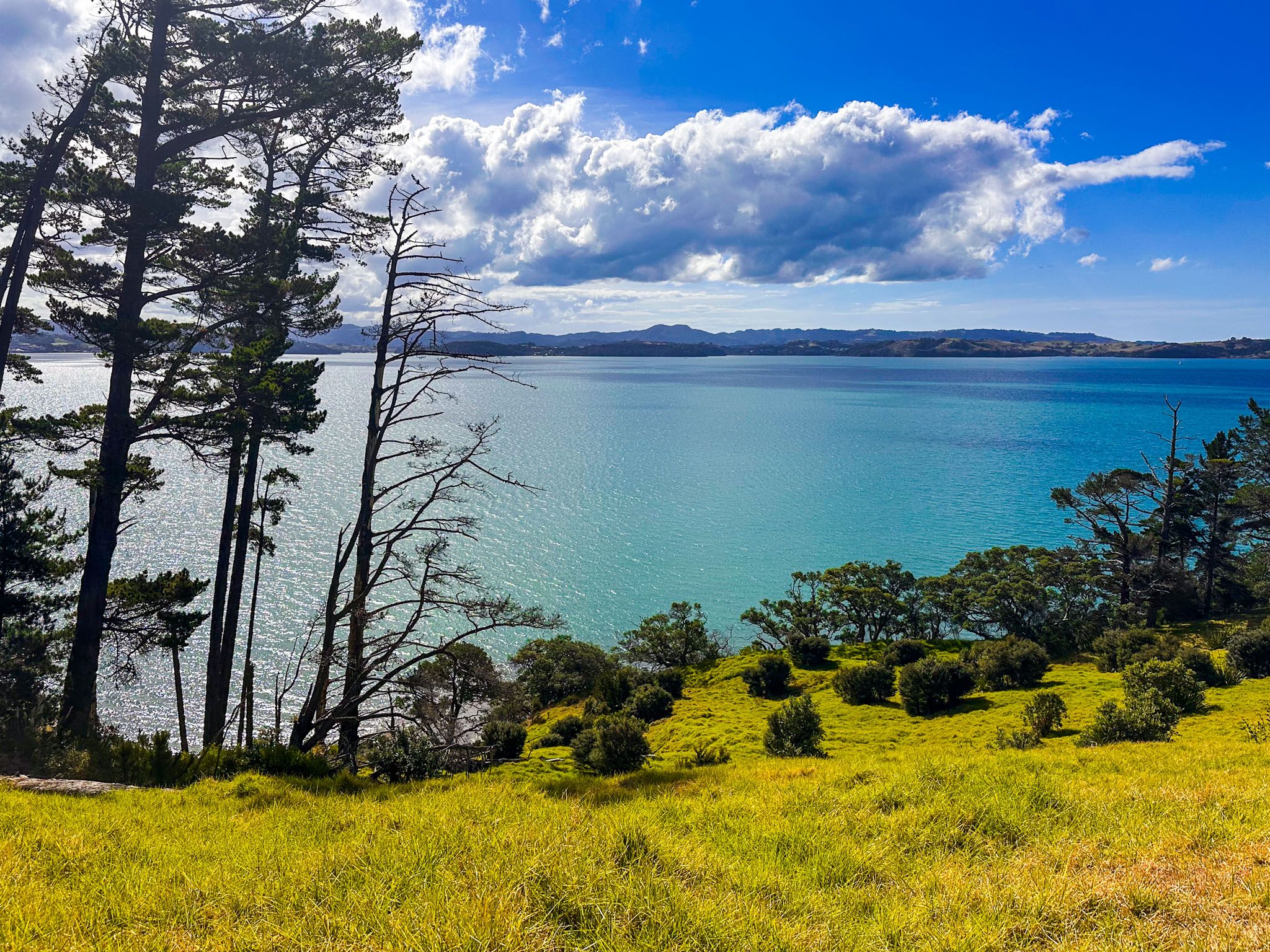
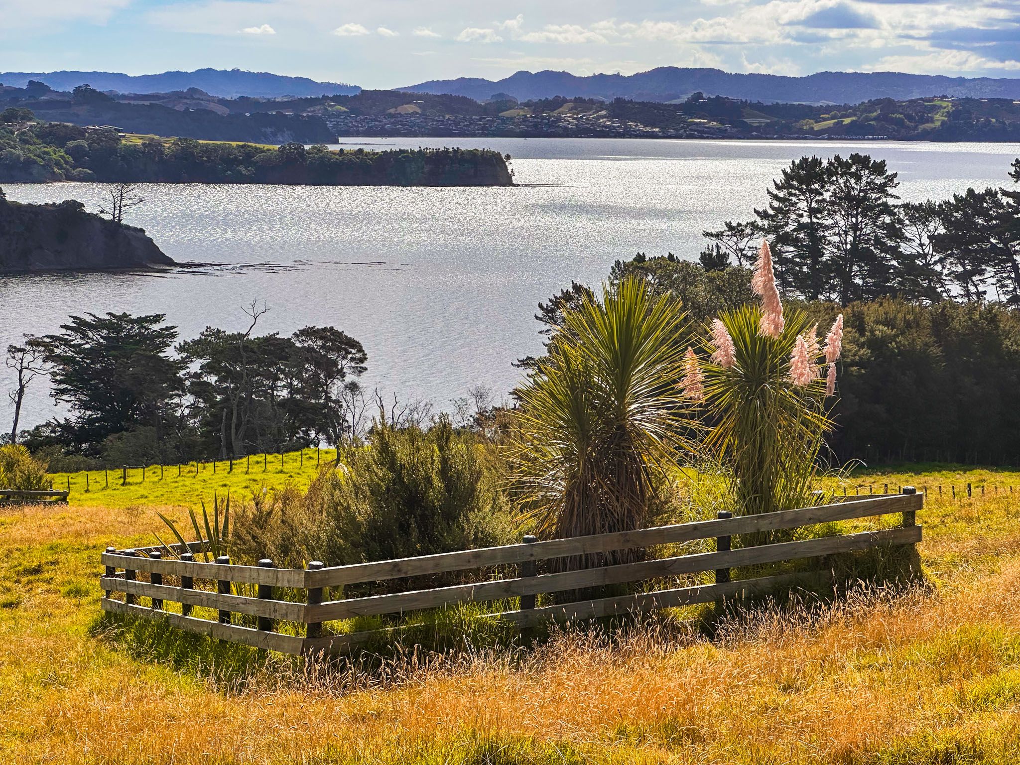
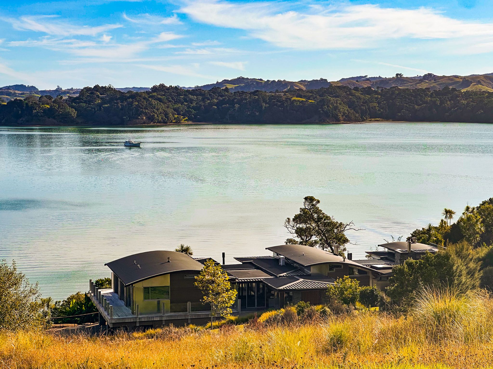
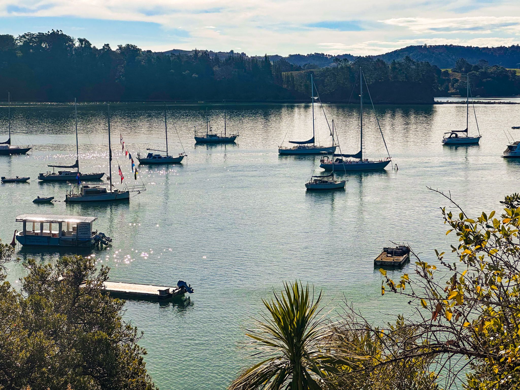
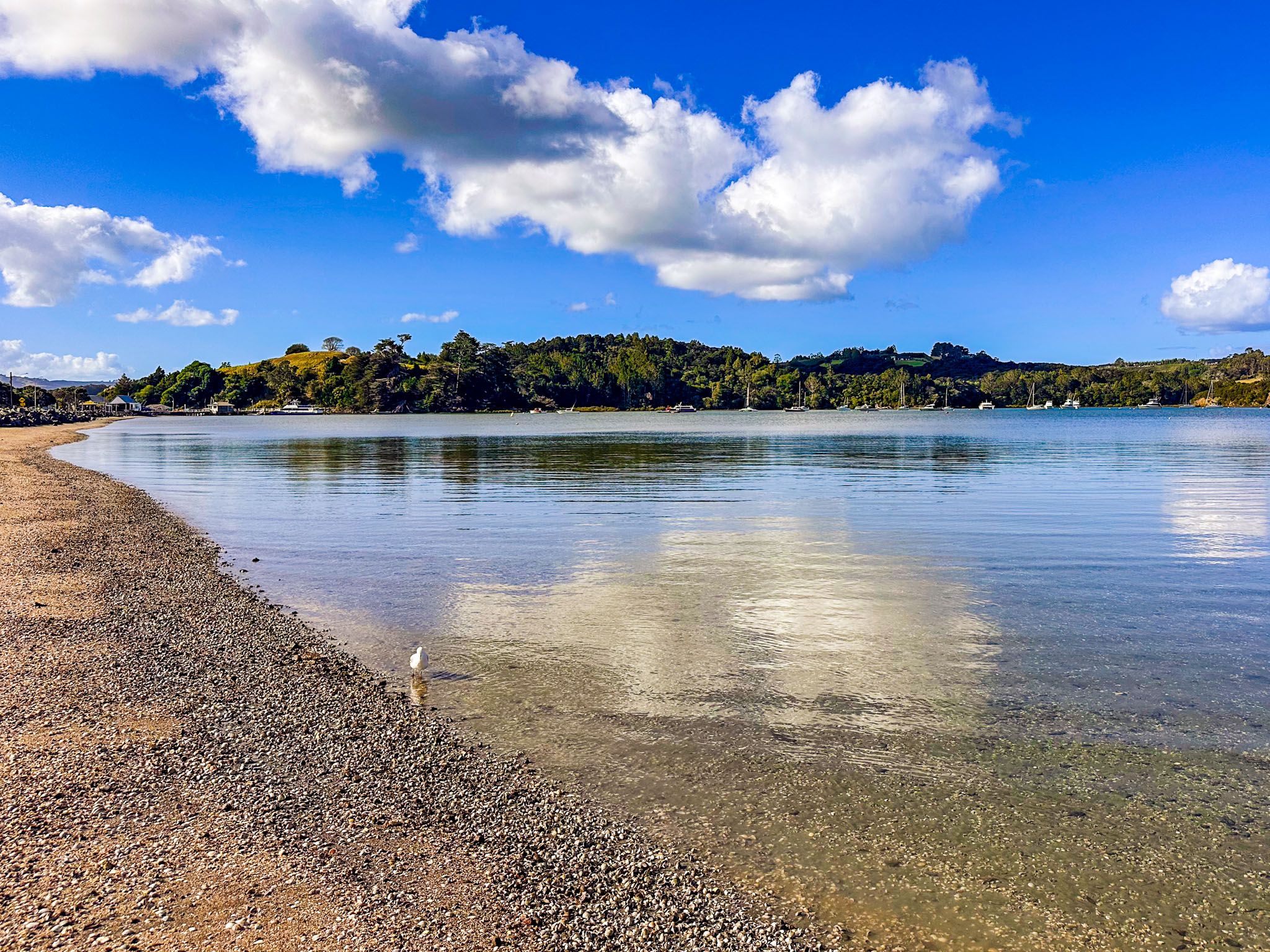
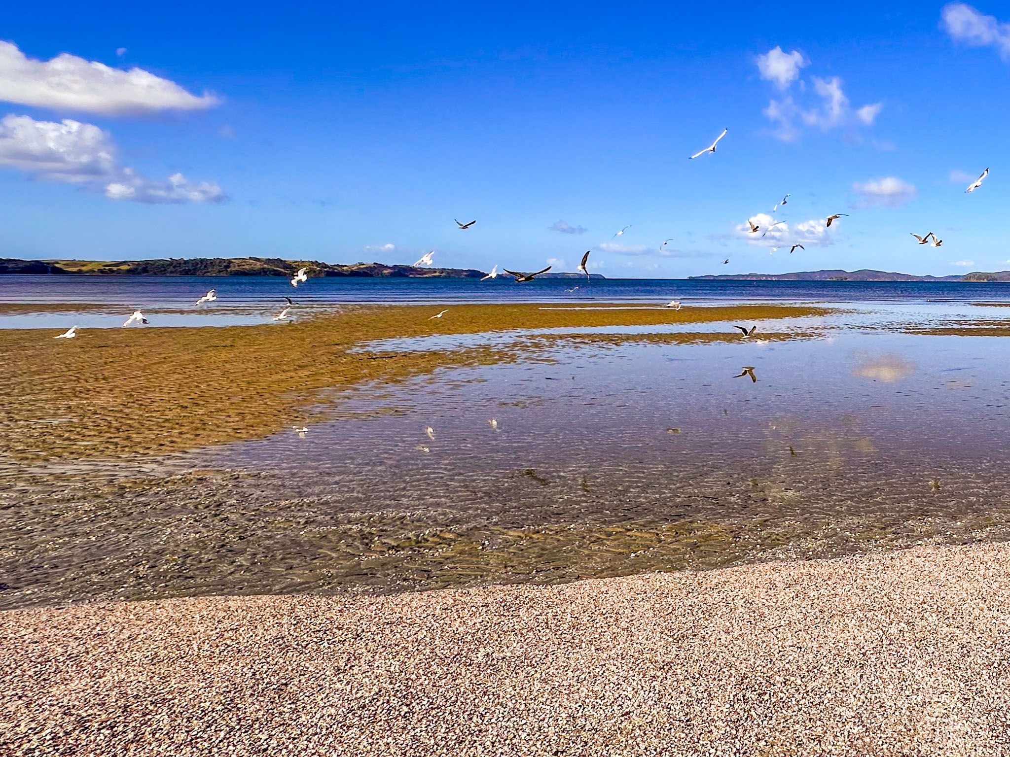
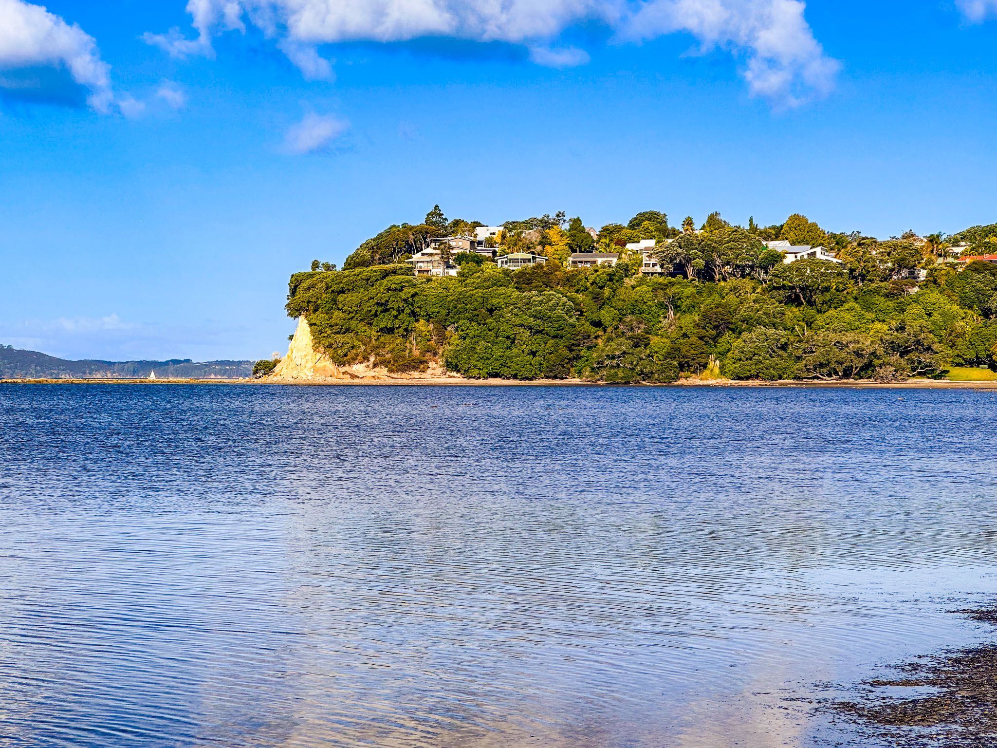
Mahurangi is a beautiful coastal area in northeast Auckland on the Matakana Coast, between Warkworth and Wenderholm Regional Park. Mahurangi Regional Park, one of 28 in Auckland, is a major attraction, as is Scandrett Regional Park on the Mahurangi Peninsula.
Mahurangi is the pre-European Māori name for the area which geographically encompasses the Mahurangi River, which flows through Warkworth into Mahurangi Harbour. The harbour's west side is Mahurangi West, with Mahurangi Regional Park West on the southwest side of Mahurangi Heads. The north and east sides of the harbour form the Mahurangi Peninsula. Mahurangi Regional Park East is on the peninsula's southern end and is only accessible by boat. Topo Map also shows Mahurangi as the name of a community on a thin strip of land attached to the peninsula, but this is an earlier name for Scotts Landing.
The name Mahurangi can have several meanings, one being a rock pointed to the sky. Mahurangi Island is such a rock and can be found at the south end of the region, opposite Waiwera. But it could also refer to a tohunga (high priestess) named Mahurangi from the Tainui waka.
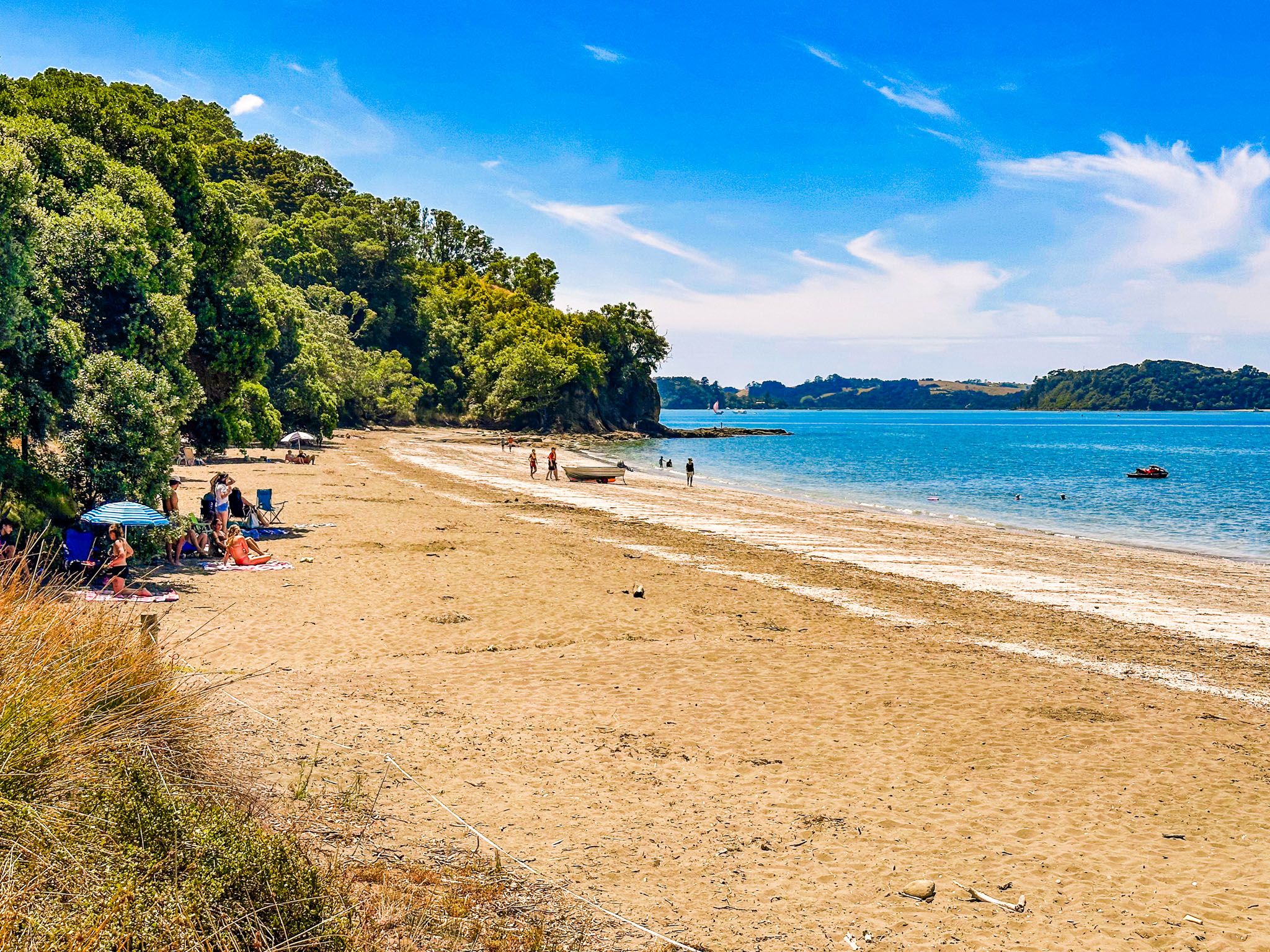
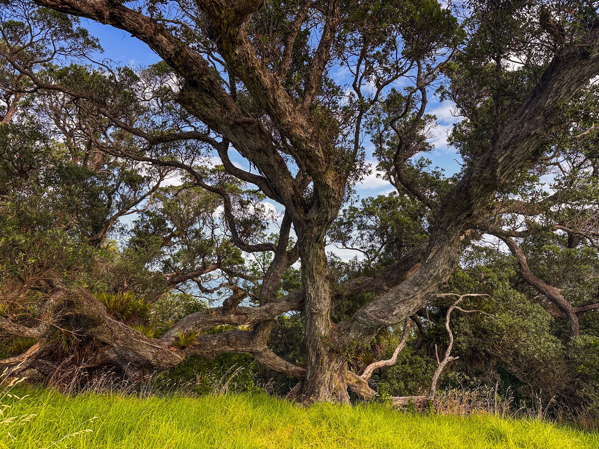
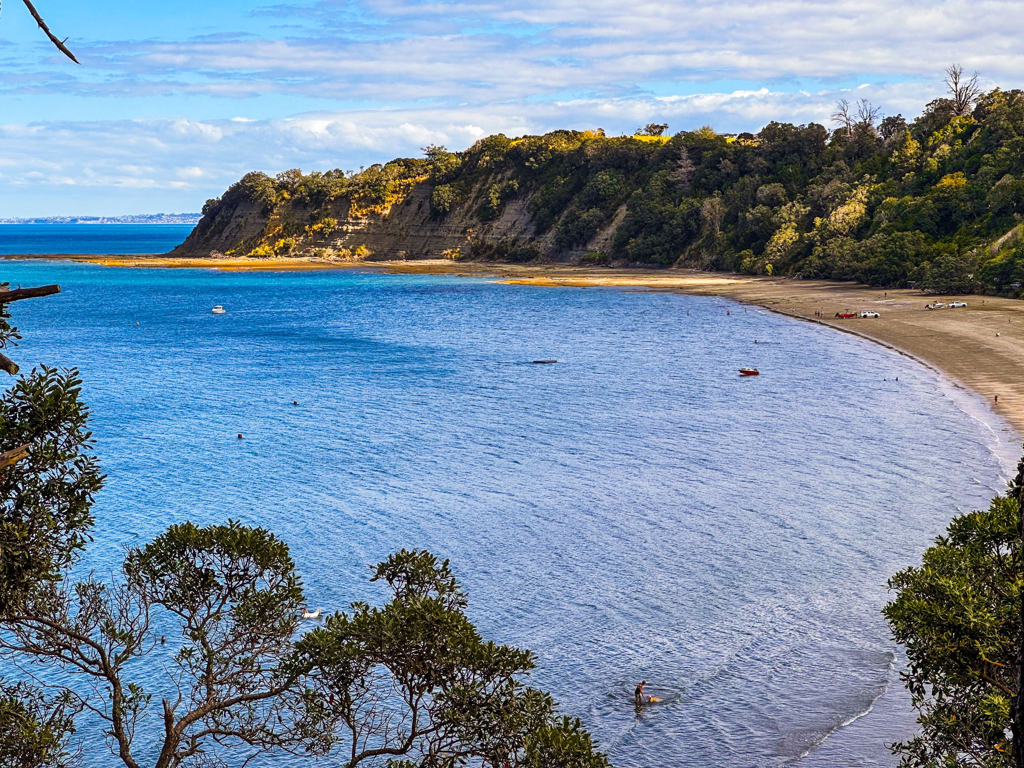
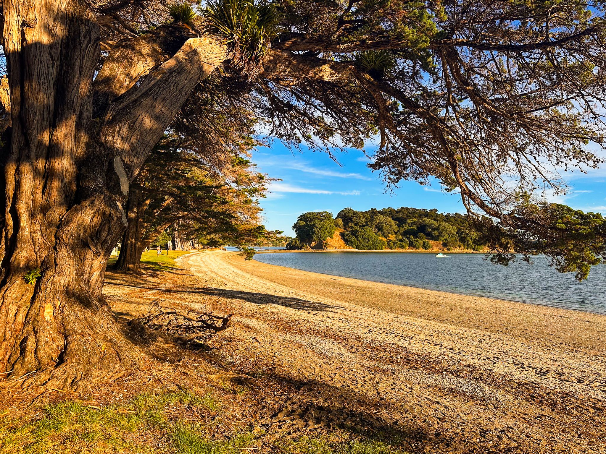
The area is mainly rural and hilly, with farms, lifestyle blocks, and coastal communities, including Sandspit and Snells Beach. From Warkworth, take Sandspit Road to access the peninsula. After 4.6 km, continue to Sandspit or veer east towards Snells Beach on Mahurangi East Road. Watch out for the turnoff to superb Brick Bay! Continue on Mahurangi Road to Scandrett Regional Park and Martins Bay. There is a fabulous loop track around the edge of the regional park with a short link track to Martins Bay. The beach at Martins Bay, with overhanging pōhutukawa trees, is attractive. You can camp at Sandspit, Snells Beach (freedom camping), Scandrett and Martins Bay.
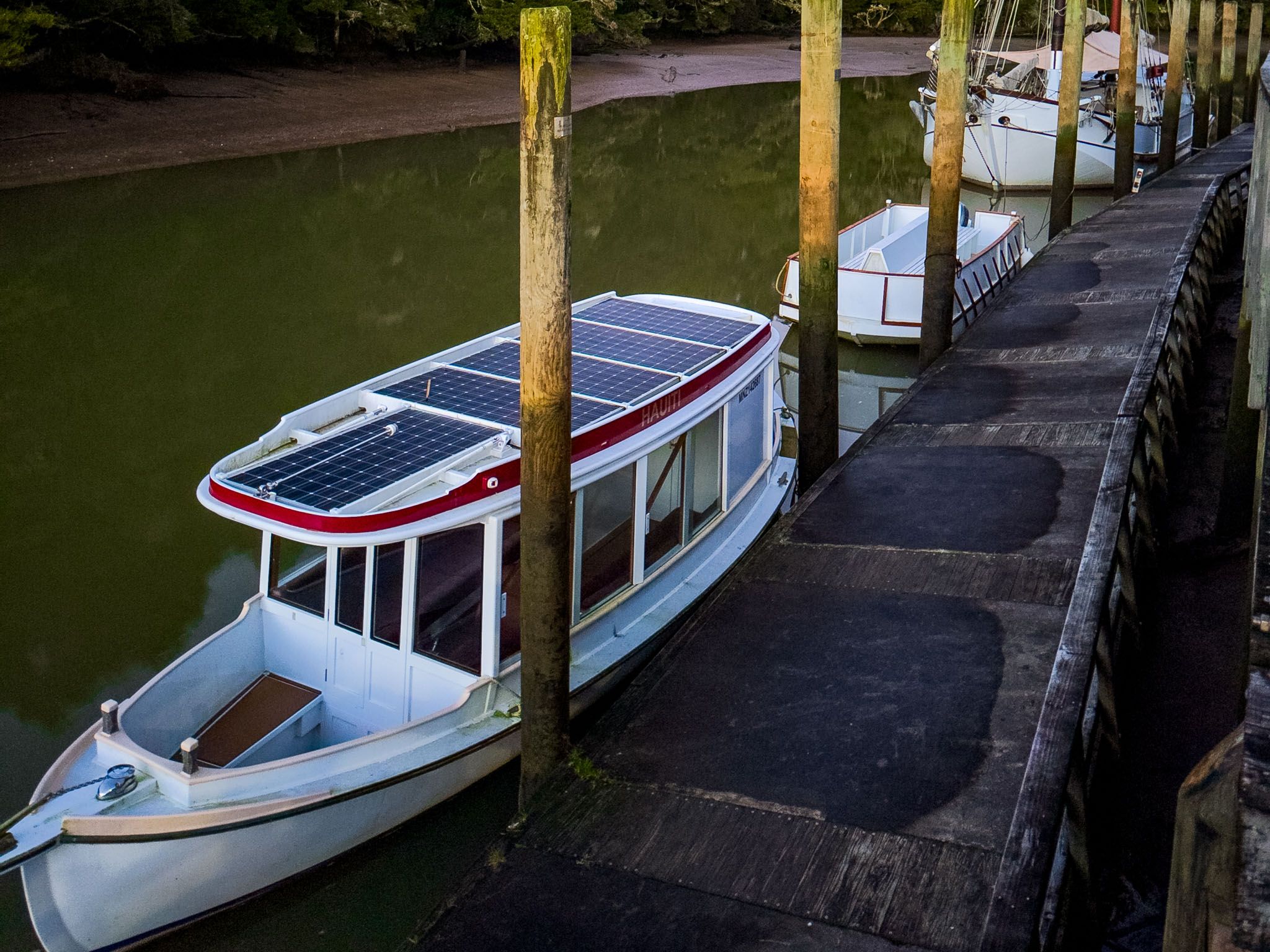
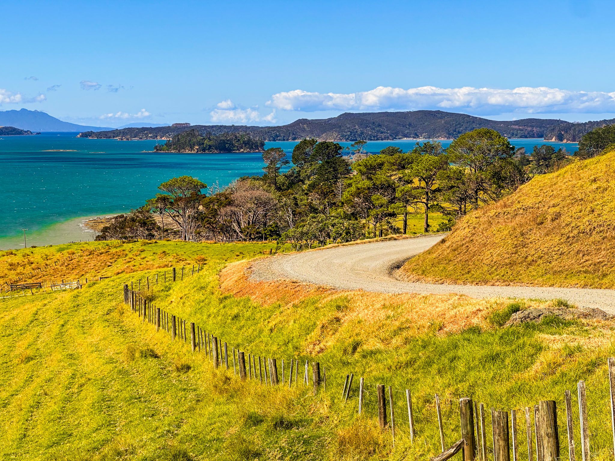
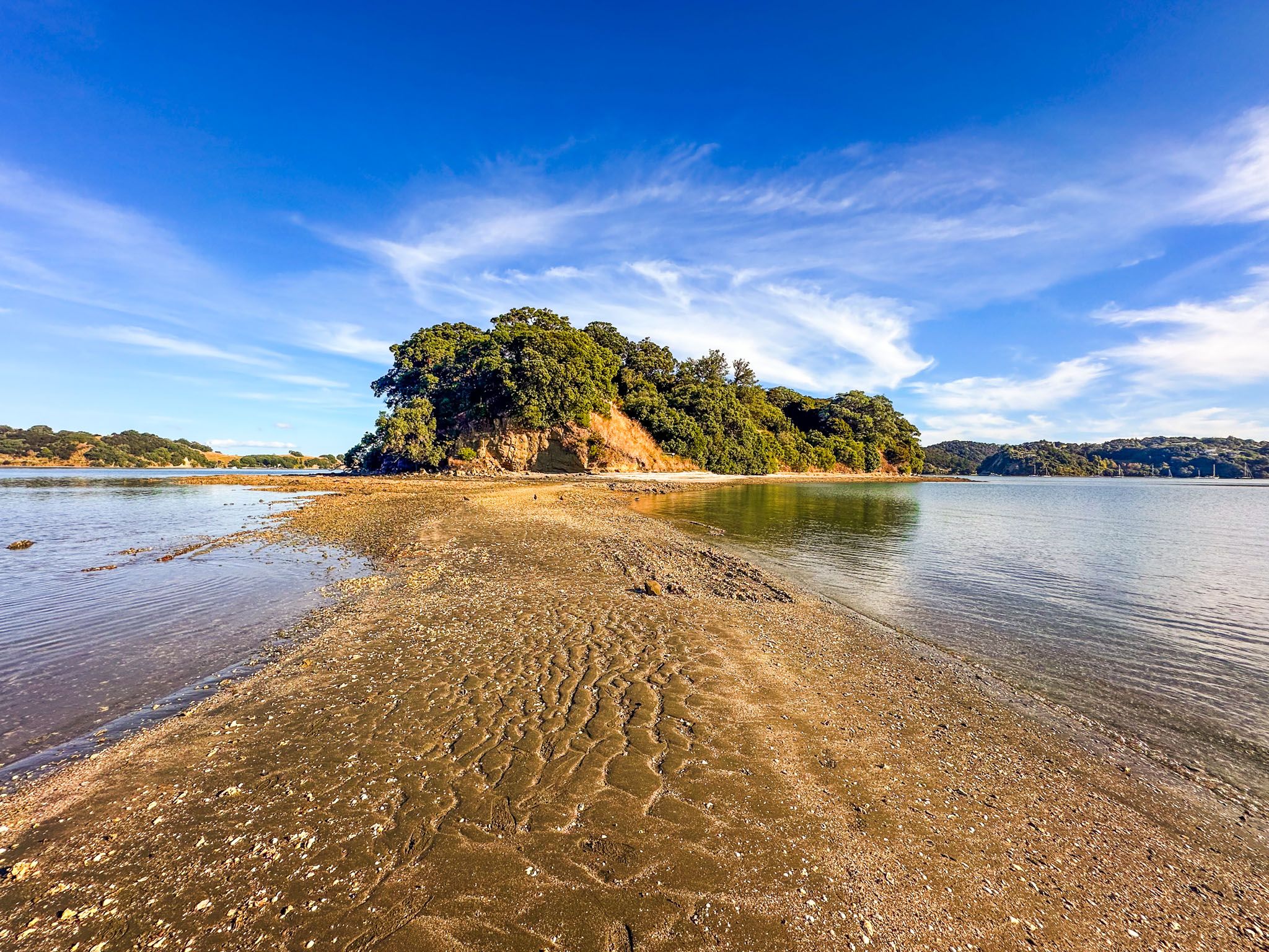
Between Algies Bay and the turn-off to Scandrett Regional Park, you will see Ridge Road, signposted for Scotts Landing. This scenic drive has views of the harbour and provides access to a lesser-known part of Mahurangi Regional Park. At the end, there is a wharf and boardwalk to a pretty beach and historic Scott Homestead. At low tide, you can walk to Casnell Island.
Access to Mahurangi West is along Mahurangi West Road, accessible from the Twin Coast Highway between Warkworth and Puhoi. It’s a 20 km windy sealed road along the top of the Tawhitkahu Ridge to Mahurangi Regional Park West. The views of Mahurangi Harbour are spectacular, although options for photo stops are limited until the park. There is camping in the park and several connected loop walks.
Mahurangi Harbour is a drowned river valley. The valley formed around 17,000 years ago as the river flowed into a vast plain, now the Hauraki Gulf, and headed northeast between Little Barrier Island and Aotea / Great Barrier Island. The harbour appeared over 7,000 years ago at the end of the last ice age when rising sea levels flooded the forested valley.
The wider Mahurangi area has been settled since the 13th century. But local Māori also describe Toi-te-huatahi as the founding ancestor, and Toi’s name is attached to features in the Hauraki Gulf, including Little Barrier Island / Te Hauturu-o-Toi. One of the first iwi in the area was Ngāi Tāhuhu, named for Tāhuhunui-o-te-rangi, of the Moekākara waka. Te Arawa and Tainui waka also visited the area.
In the mid-1600s, the warrior Maki invaded from Kāwhia and unified many of the Tāmaki Makaurau iwi as Te Kawerau. The hapū Ngāti Rongo was subsequently established by one of his sons and occupied Mahurangi until the 1800s. They were forced out by the Ngāpuhi invasion during the Musket Wars in the 1820s and, in the 1830s, the Hauraki iwi, Ngāti Paoa, briefly occupied the area.
The first European settlement in Auckland occurred during this period. In 1832, Gordon Browne established a spar station at Pukapuka Peninsula on the west side of Mahurangi Harbour and obtained rights to harvest kauri from the temporary occupiers. Ngāpuhi were also involved in supplying the spars to the Royal Navy. The station operated until 1834 but faced challenges from the Kawerau connected hapū as they returned home. Ngāti Rongo returned, led by Te Hēmara Tauhia, and settled at Te Muri, now within Mahurangi Regional Park West.
After the Treaty of Waitangi in 1840, the new government purchased land on Auckland’s northeast coast from Māori without legitimate claims in the enormous Mahurangi Purchase. This covered Takapuna to Te Arai. Te Hemara Tauhia successfully sued the government in 1852, and around 18,000 acres of land between Waiwera and Pukapuka became Hemara’s Reserve. After Te Hemara Tauhia died in 1891, the last of this reserve was sold, and the hapū moved to the Kaipara region.
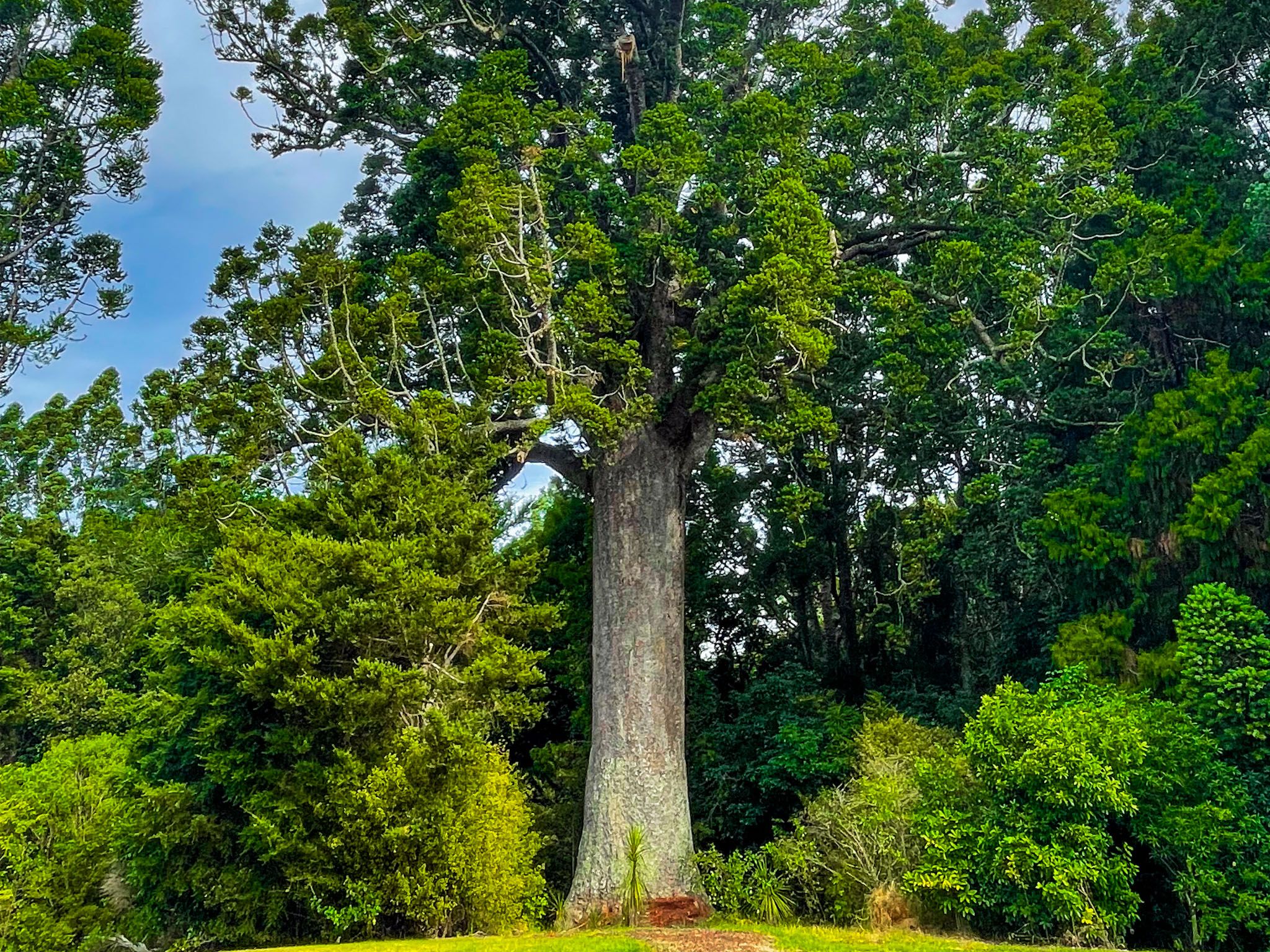
European settlement quickly transformed the region from forest, including kauri, to mostly farmland. Towns appeared to extract timber, then to support farming. Today, they are part of Auckland's coastal lifestyle. The best location to see a surviving kauri grove is the Parry Kauri Park in Warkworth.
