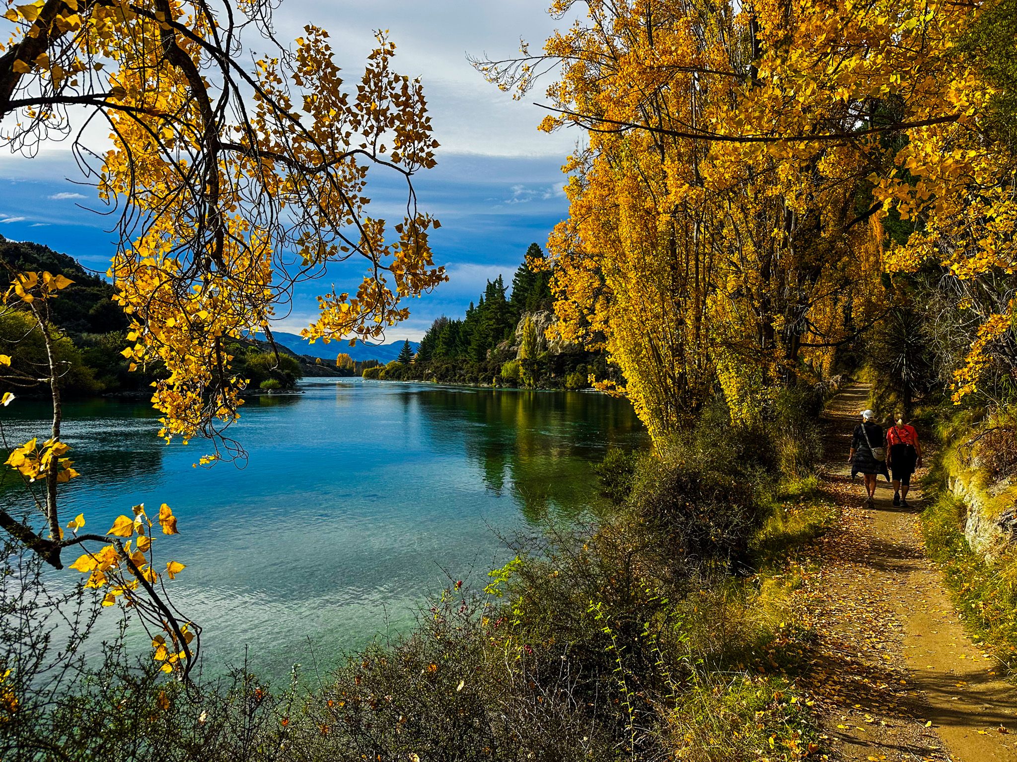
Clutha River / Mata-Au
New Zealand's Mightiest River
The Clutha River / Mata-Au is New Zealand's highest-volume river and the longest in the South Island, running 338 km from the outlet of Lake Wānaka to the Pacific Ocean at Molyneux Bay near Balclutha. It drains 22,000 square kilometres of the Southern Alps, Central Otago, and South Otago hill country, and discharges around 614 cubic metres per second, almost twice the volume of the Waikato River in the North Island and the longest in NZ. For much of its length, the river is a cold, fast, emerald-green corridor cutting through some of the most dramatic landscapes in the South Island: glacial terraces, schist gorges, golden-brown high-country basins, with golden exotic trees in Autumn, and the green farming country of the lower Clutha. There are many interesting places to visit and explore along the river's journey.
Names and Meanings
Ngāi Tahu iwi’s name for the river, Mata-Au, means "surface current", a reference to the river's swirling eddies. For Māorii, the river was a highway into the interior, a source of eels and waterfowl, and a route to the pounamu and moa-hunting grounds of Central Otago.
The earliest European name was Molyneux, applied to the river's mouth by whalers and settlers of South Otago, and often mistakenly attributed to Captain Cook, who in fact never saw the river. The name Clutha, from Cluaidh, the Scottish Gaelic name for the River Clyde, was adopted in 1846 as Scottish settlers prepared to establish Otago. The joint name has been used since 1998, following the settlement of the Ngāi Tahu Treaty of Waitangi claims.
A curious side story - the New Zealand writer Janet Frame was so drawn to the river's significance that she changed her surname to Clutha by deed poll in 1958.
From Lake Wānaka to Luggate: The Upper Clutha
The Clutha begins at the Lake Wānaka outlet, where the Outlet Track, a section of Te Araroa, follows the river westward along the lake shore to Albert Town and its bridge. From Albert Town, the Upper Clutha River Track runs 18 km along the river's south bank to the Luggate Creek Track, connecting to Luggate. Alternatively, cross the Albert Town bridge and follow the north side of the river on the Newcastle Track to the historic Red Bridge, back across the Clutha towards Luggate.
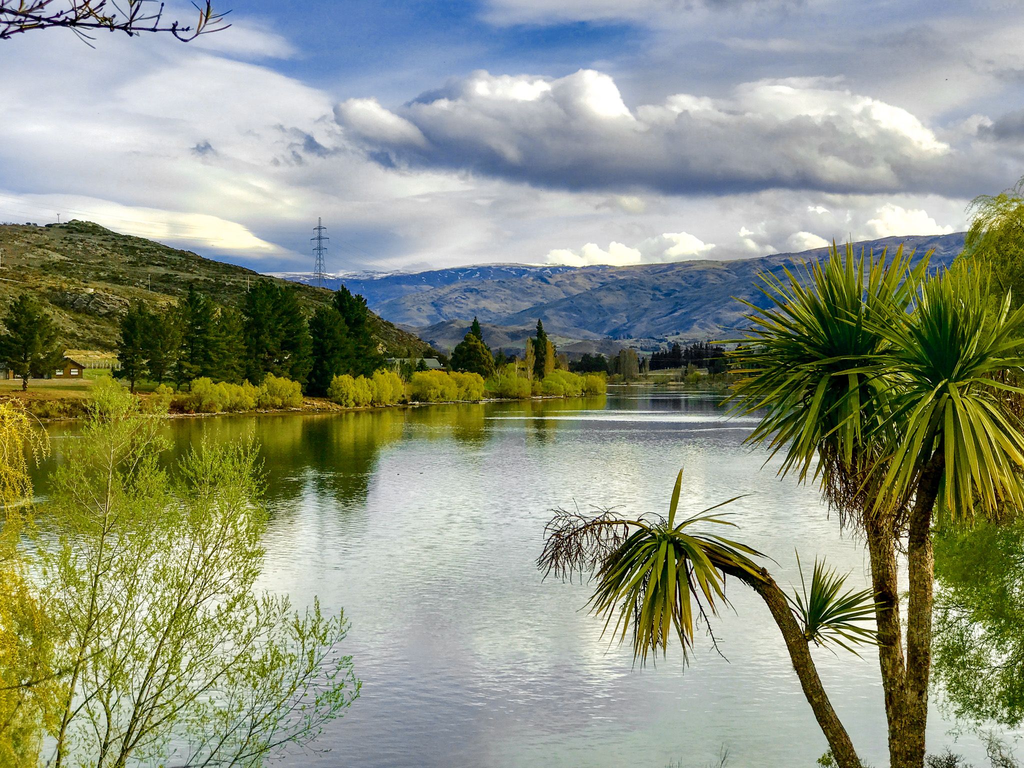
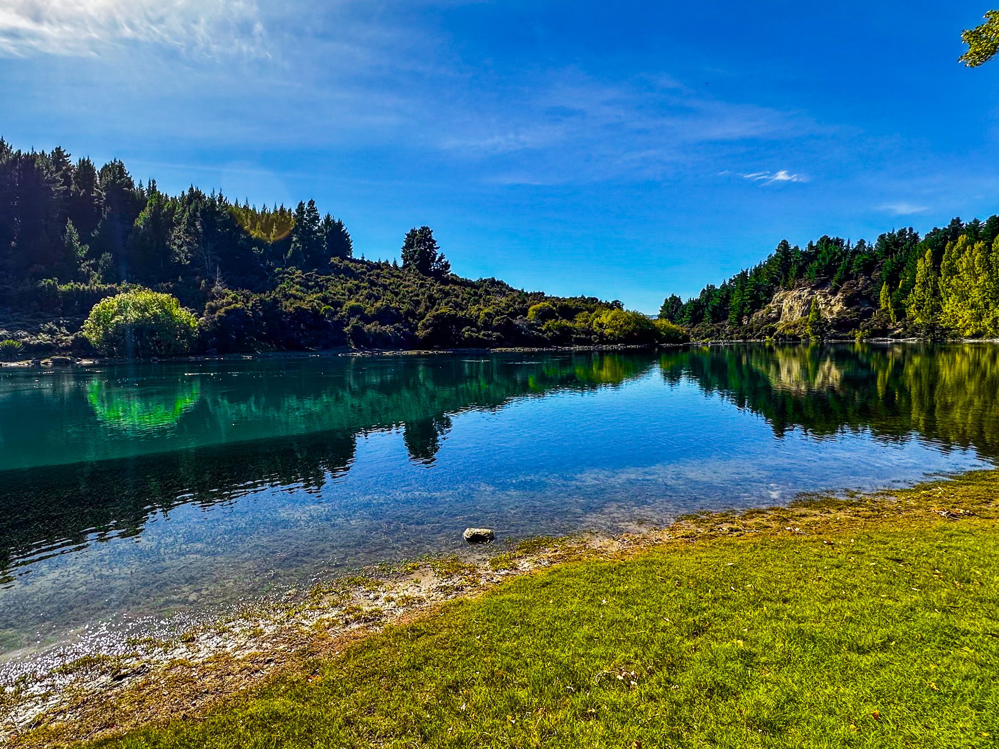
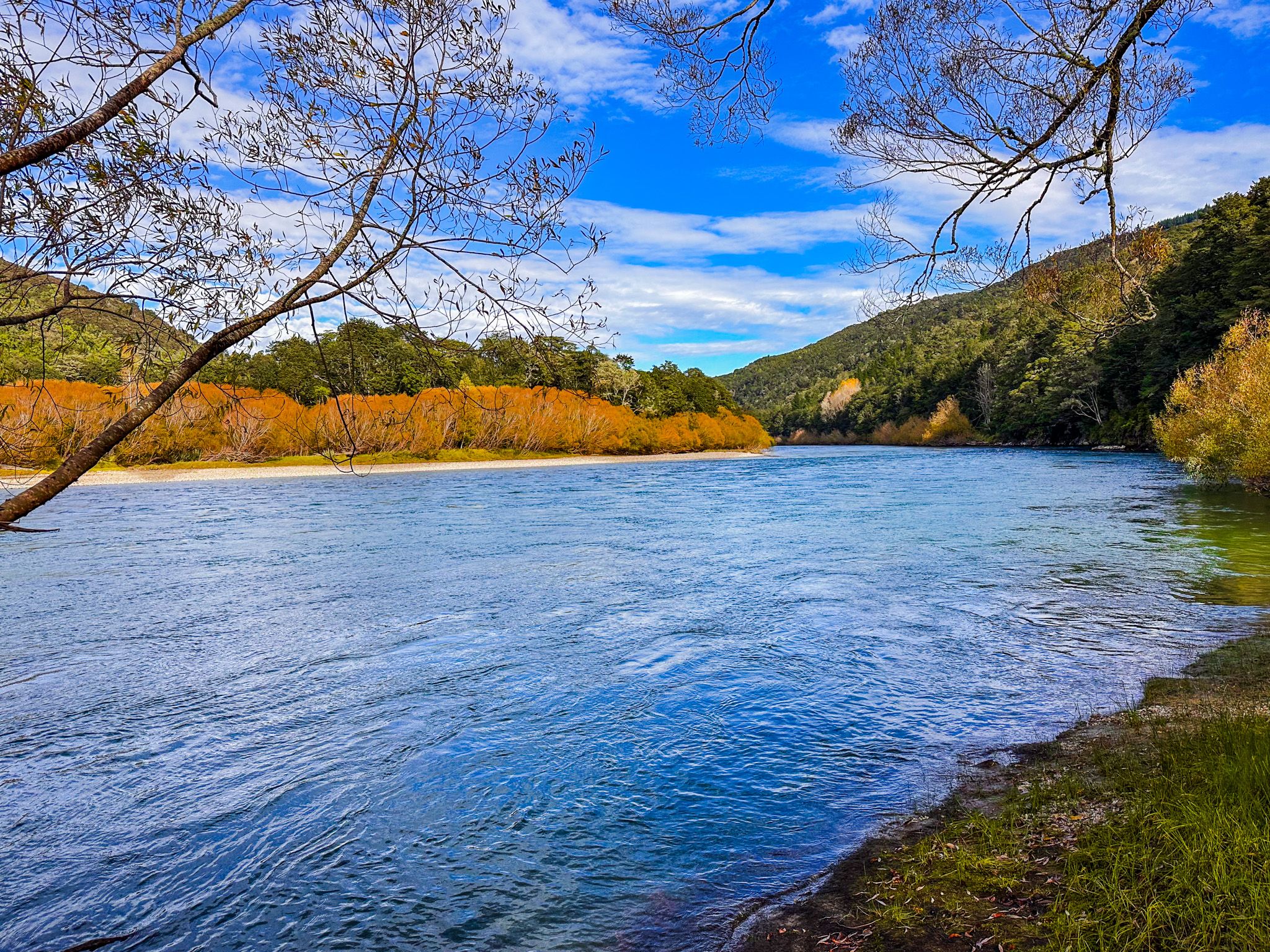
Following the Upper Clutha River Track, it crosses the Cardrona River at Pawson's Crossing, passes through gold mining remains at Reko's Point Conservation Area, and rises to clifftop sections with some of the most spectacular river views in Otago. At Luggate, the river bends south, passing through the Snake, a long sinuous stretch of fast water, and the Devil's Nook gorge beyond the Luggate Creek confluence. At its gold mining peak, there were up to 187 gold dredges operating on this part of the river.
The upper Clutha is one of the finest trout fisheries in New Zealand and is protected by the Lake Wānaka Preservation Act 1973, enacted following a community campaign called HOWL (Hands Off Wanaka Lake) that successfully blocked a proposed hydro dam at Luggate.
Lake Dunstan, Cromwell Gorge to Clyde and Alexandra
After Luggate, the river turns south into the wide valley between the Pisa Range and the Dunstan Mountains. About halfway down the valley, it meets the 26-square-kilometre Lake Dunstan, a man-made lake formed by the completion of the Clyde Dam in 1993. At Cromwell, 50 km from Lake Wānaka, the Kawarau River flows into the lake below Bannockburn, known for its gold-mining heritage and modern winemaking. which drowned the Cromwell Gorge and much of the original town. The heritage precinct at Cromwell, with its relocated historic buildings at the edge of the lake, tells the story of the establishment of Lake Dunstan, which flooded orchards and the old historic town of Cromwell.
State Highway 8 runs south along the east side of the partially flooded Crowell Gorge towards the Clyde Dam. This 20 km drive is one of the most dramatic in the region, especially in calm weather, with the sides of the gorge reflecting off the water. On the west side is the Cromwell Gorge Cycle Trail, a spectacular ride featuring suspension bridges and sections clipped to the side of the cliffs.
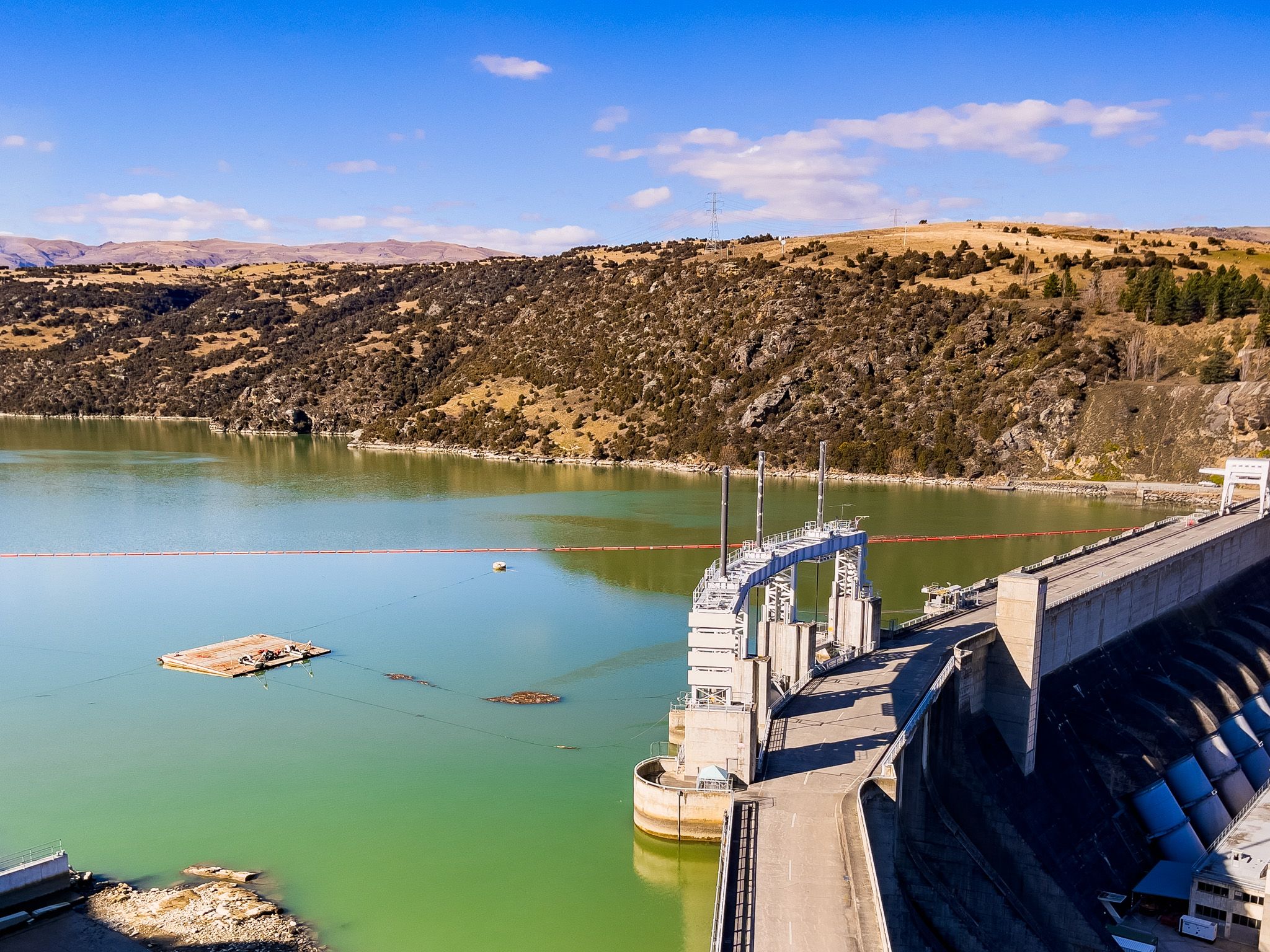
The Clyde Dam sits at the southern end of the gorge above the town of Clyde. New Zealand's third-largest concrete dam, it stands 102 metres high and generates 432 megawatts, supplying around 8% of the country's electricity. Its construction was one of the most contested infrastructure projects in New Zealand history. Major landslide risks in the gorge walls required years of remediation, the project ran significantly over budget, and the flooding and relocation of orchards and Cromwell generated sustained public opposition.
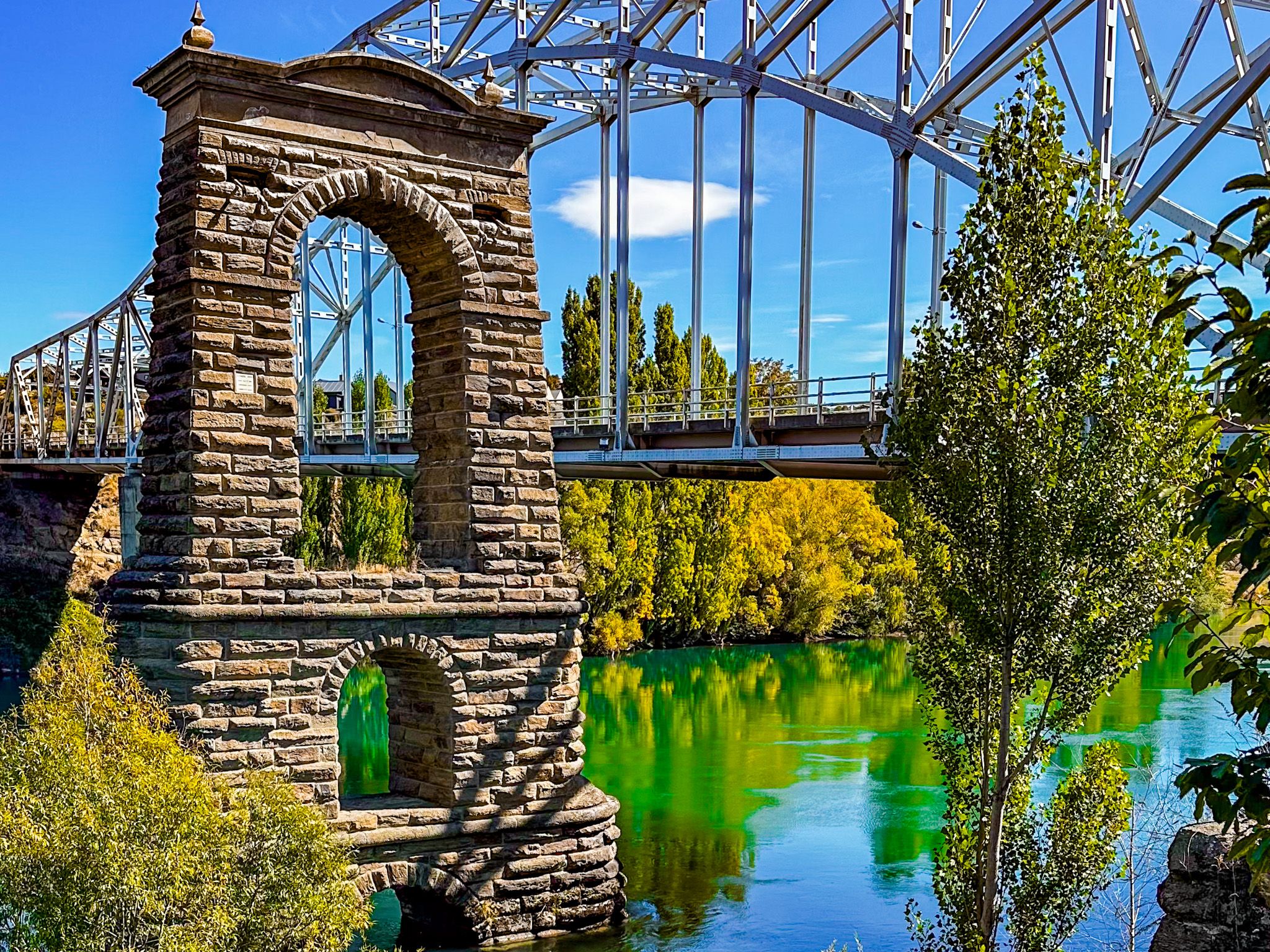
From Clyde, Alexandra is 8 km south, where the Manuherikia River joins the Clutha from the northwest, and the river widens before narrowing again into the Roxburgh Gorge. Along the way is the Earnscleugh Tailings on the west bank, an extraordinary 3 km long pile of gravel and silt dredged out of the river by gold miners from 1862 to as late as 1963. At Alexandra, State Highway 8 crosses the river, with the stone towers of a previous bridge to the east, just before the river heads into the Roxburgh Gorge.
Roxburgh Gorge and Lake Roxburgh
South of Alexandra, the Clutha backs up behind the Roxburgh Dam into Lake Roxburgh, which floods the upper half of the Roxburgh Gorge. The dam was the first major hydro scheme in the South Island after WWII, commissioned in 1956 after seven years of construction, and generates 320 megawatts. Before the dam, the gorge held the Molyneux Falls and the Golden Falls, significant rapids now submerged. The Roxburgh Gorge Trail, a walking and cycling track, follows the true right bank of the lake and gorge from Clyde towards Roxburgh, with a boat pickup to complete the journey to the dam. This is one of New Zealand's most dramatic gorge walks, with sheer schist walls rising from the water and the river compressed into fast, dark channels between them. From Roxburgh, the Clutha Gold Trail continues south through the lower river country to Waihola near Dunedin.
Below the Roxburgh Dam, the river resumes its natural character, running fast and wide through the pasture and stonefruit orchards of the Teviot Valley. At the town of Roxburgh, the power of the river is on show with the ruins of a bridge washed away in the great flood of 1878. The dam is open to vehicles, with the sealed road on the east side of the river to the bridge at Roxburgh, then onto the bridge at Millers Flat.
The Lower Clutha: Millers Flat to the Sea
Millers Flat, a quiet farming settlement on the western bank, sits at the junction of the bridge road and the back-road river country. Take the short gravel road south on the east side of the river for one of the more obscure sites in Central Otago - the Lonely Graves.
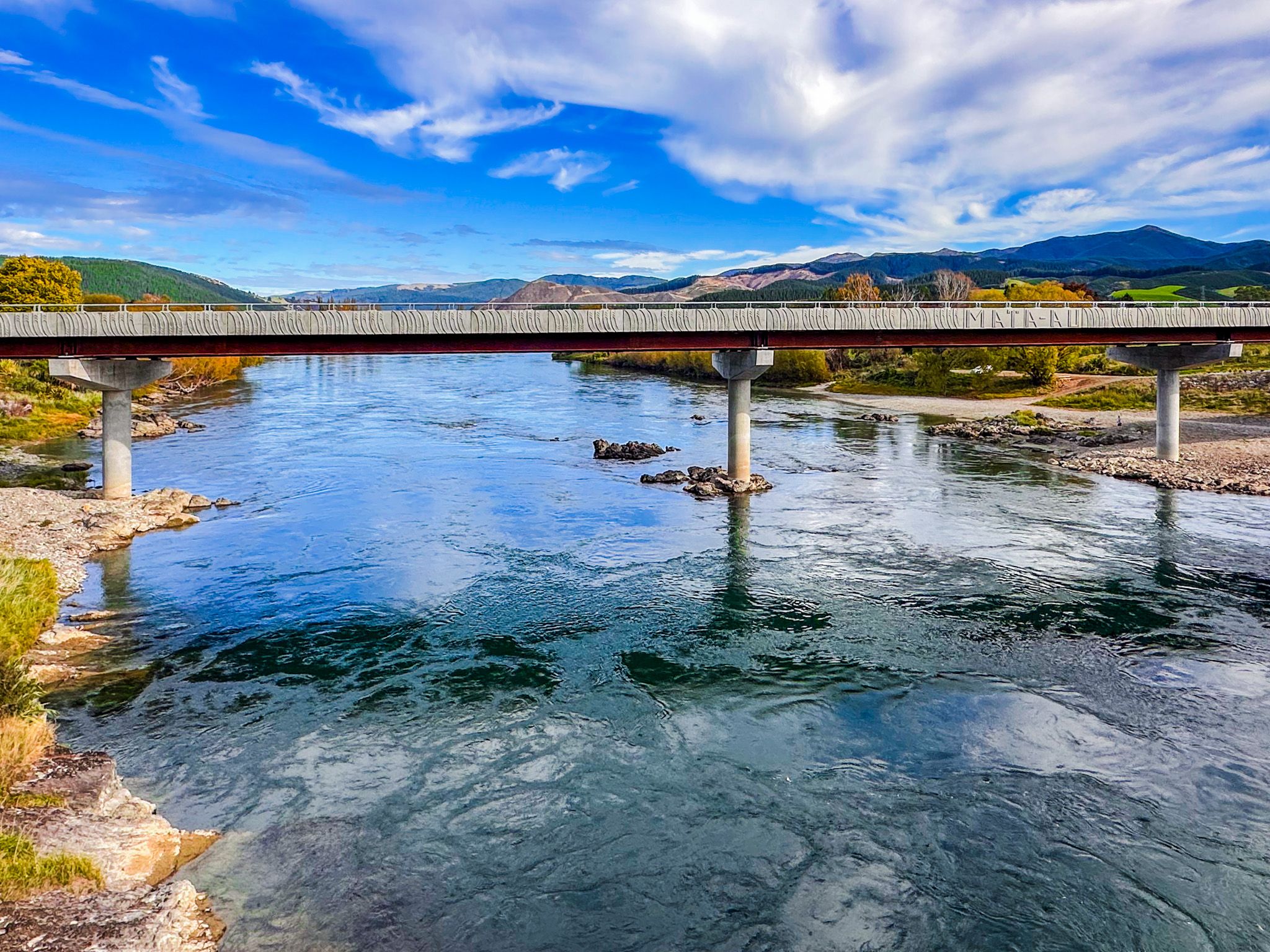
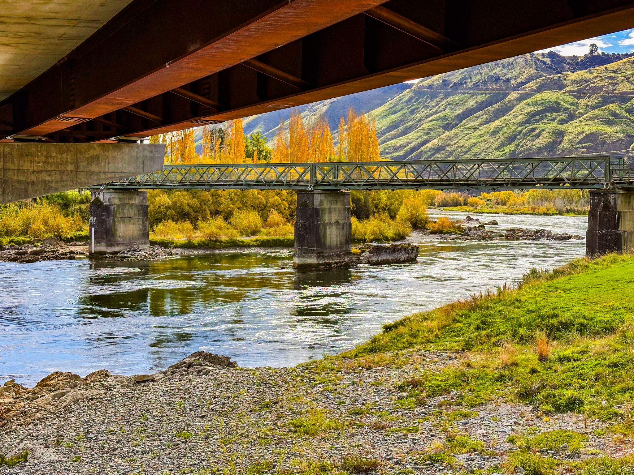
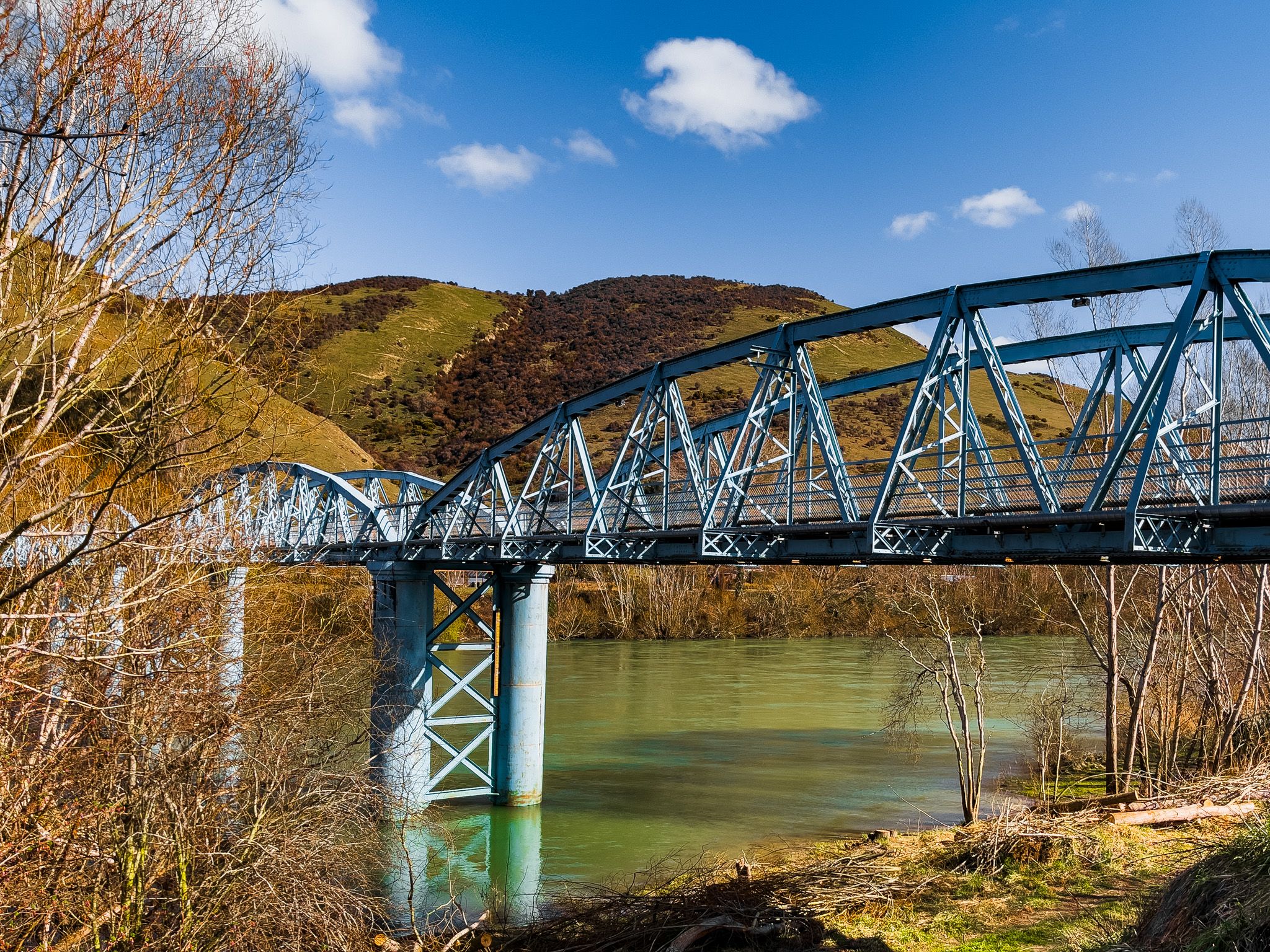
Beaumont, a further 30 km south, famously had an incredible, dilapidated, single-lane historic bridge on State Highway 8, high above the river. It was finally replaced by a modern bridge, and the old bridge was completely restored for walkers and cyclists, connecting to the Clutha Gold Trail. Walk onto the bridge for some of the best river views along its length.
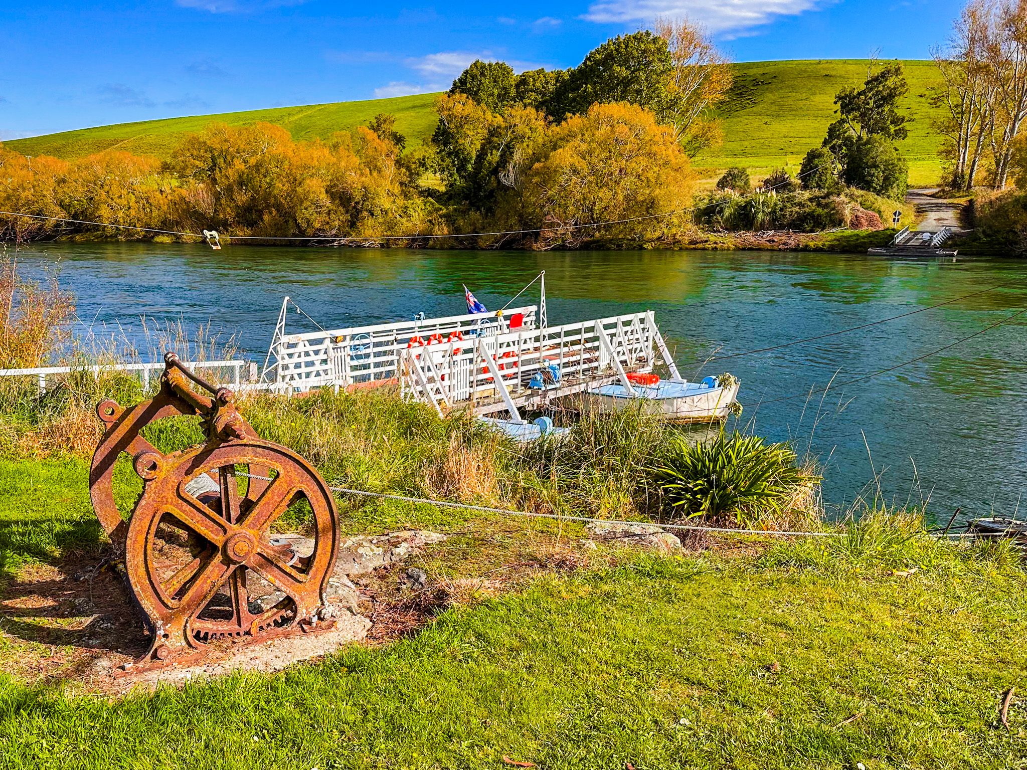
The small settlement also marks the point where the Clutha enters the Rongahere Gorge, a stretch of exotic and native beech forest that is one of the most beautiful sections of the lower river, with the Birch Island native reserve just downstream. The Rongahere Road / Clutha River Road on the western bank between Tuapeka Mouth and Beaumont is one of the less-travelled scenic drives in Otago, running close to the water through river terraces and surprising pockets of mature native forest. At Tuapeka Mouth, the Tuapeka River, which drains Gabriels Gully, where Gabriel Read made the first major Otago gold discovery in 1861, enters the Clutha from the east. The reaction cable ferry at Tuapeka Mouth has been operating since 1896, powered entirely by the river current, and is the last surviving punt of its kind in New Zealand.
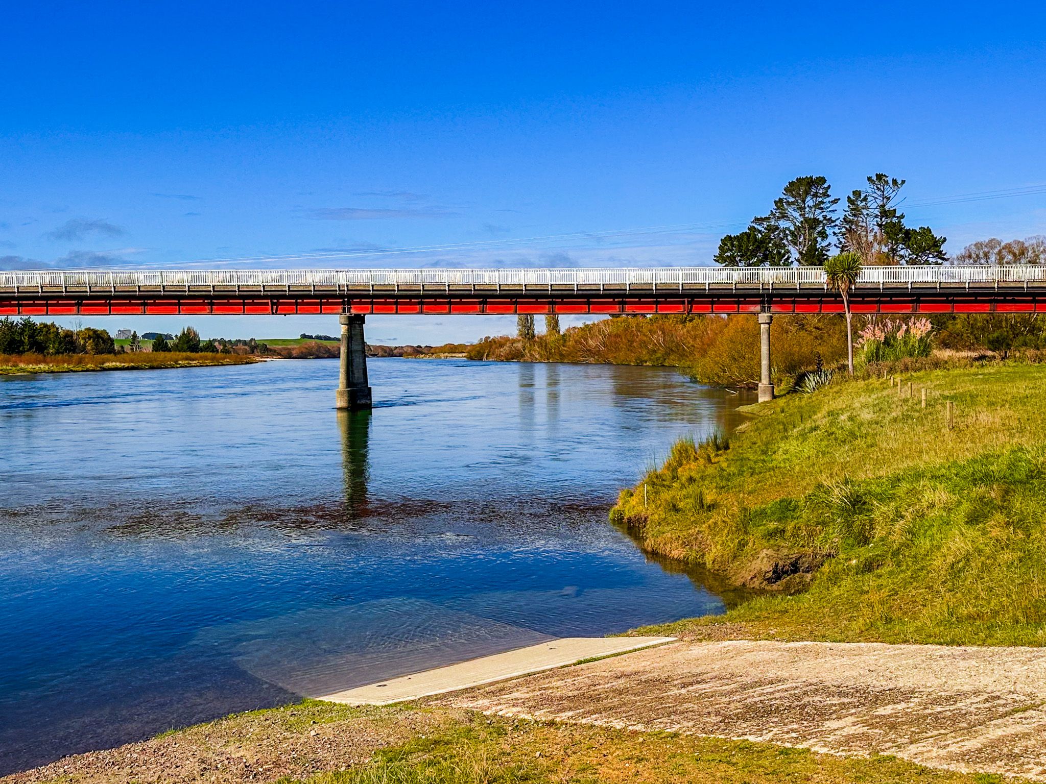
At Clydevale, 10 km downstream from Tuapeka Mouth, a modern bridge carries the road across the river. In the great flood of 1878, New Zealand's largest recorded flood, the Beaumont bridge was swept downstream, colliding with the Balclutha bridge and destroying it; the Clydevale bridge suffered the same fate in the 1978 flood, and traffic was diverted to the Tuapeka Mouth punt until repairs were complete. There is a boat ramp and grassy reserve at Clydevale for easy river access.
The river then reaches Balclutha, the main centre of the lower Clutha district in South Otago, where the historic Balclutha Road Bridge of 1935, a 244-metre reinforced-concrete bowstring arch on State Highway 1, spans the river as one of the most substantial bridge crossings in the South Island. Below Balclutha, the Clutha splits into its two distributary branches, the Matau (north) and the Koau (south), enclosing the flat, fertile delta island of Inch Clutha before reaching the Pacific at Molyneux Bay.
Exploring the River
For independent travellers, the Clutha is best experienced in sections rather than as a single continuous journey. The upper river between Wānaka and Luggate is walkable and cyclable on the Upper Clutha River Track; the gorge country between Clyde and Roxburgh is covered by the Roxburgh Gorge Trail; and the lower river is threaded by the Clutha River Road and the Clutha Gold Cycling Trail. The most dramatic views of the river are from the clifftop sections of the Upper Clutha River Track, from the highway above the Roxburgh Gorge, the Roxburgh Bridge, the historic Beaumont Bridge and from the Clutha River Road between Tuapeka Mouth and Beaumont. The Tuapeka Mouth punt crossing is worth timing a visit around. It takes around five minutes to cross a river that felt, for most of Otago's history, uncrossable. Autumn is a particularly attractive time to explore the river, with several accessible sections adorned with golden exotic trees.
How to Get There
The Clutha River is accessible from multiple points along its 338 km length. The upper river is reached from Wānaka and Albert Town. Cromwell, Clyde, and Alexandra are all on State Highway 8. Roxburgh is 120 km south of Wānaka on State Highway 8. The lower river between Millers Flat and Tuapeka Mouth is accessed from State Highway 8 via the Millers Flat bridge and Clutha River Road. Balclutha is on State Highway 1, 75 km southwest of Dunedin.