Explore Cromwell
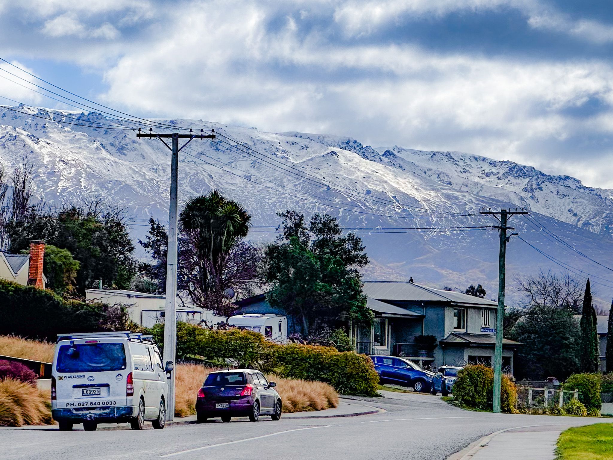
Cromwell sits in the heart of Central Otago between State Highway 6 and State Highway 8, where the Clutha River / Mata-au and Kawarau Rivers historically met, prior to the creation of Lake Dunstan. Originally called "The Junction," Cromwell became a gold rush hub in the 1860s. Now, it is a lakeside town that is best known for its dramatic dry golden basin and mountain landscapes, and fruit orchards. Vineyards. It also has a historic precinct that tells the story of its gold rush beginnings. The town is fast-growing and the largest in Central Otago, with a population of around 7,500, compared with Alexandra at 5,900.
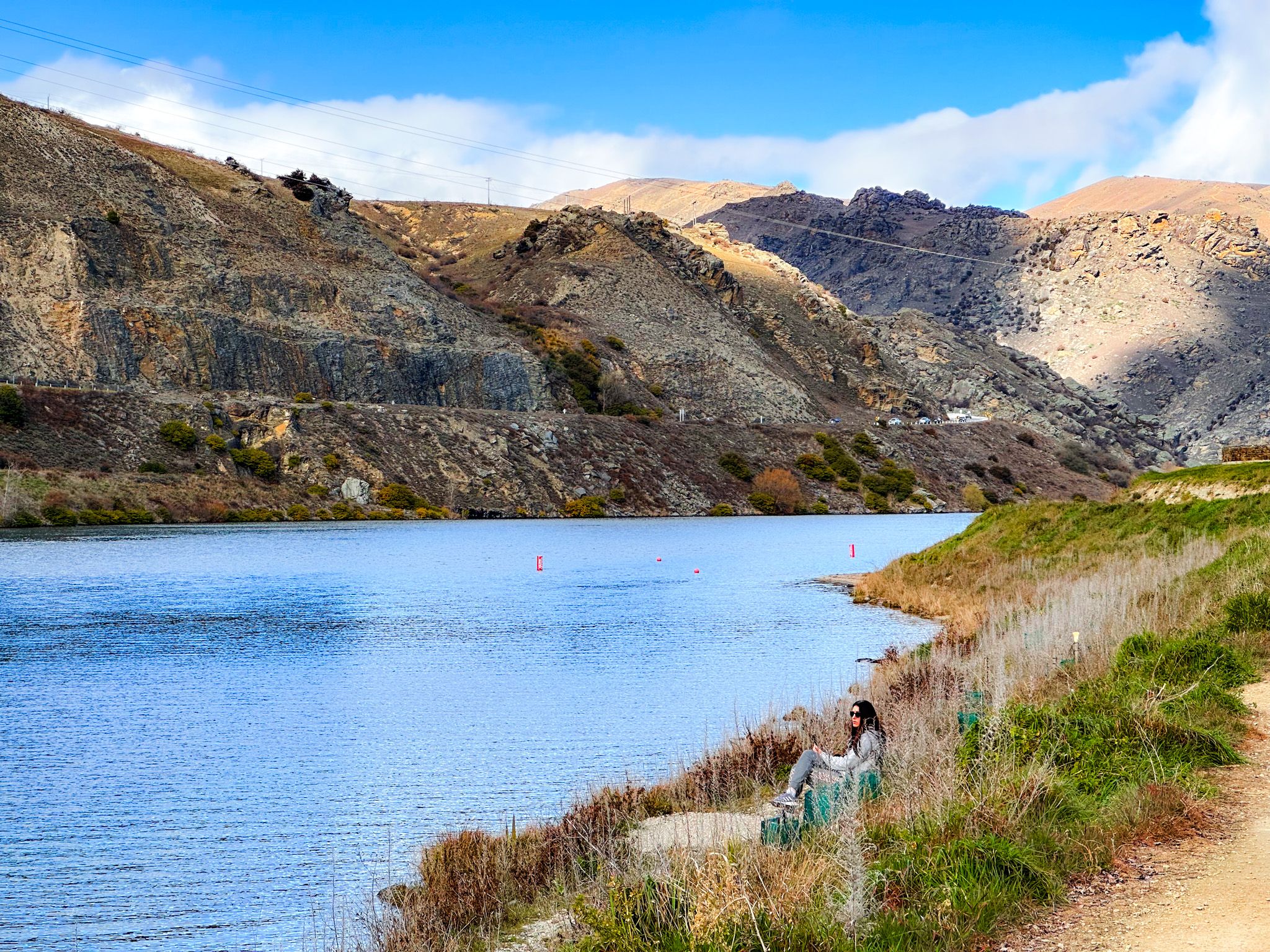
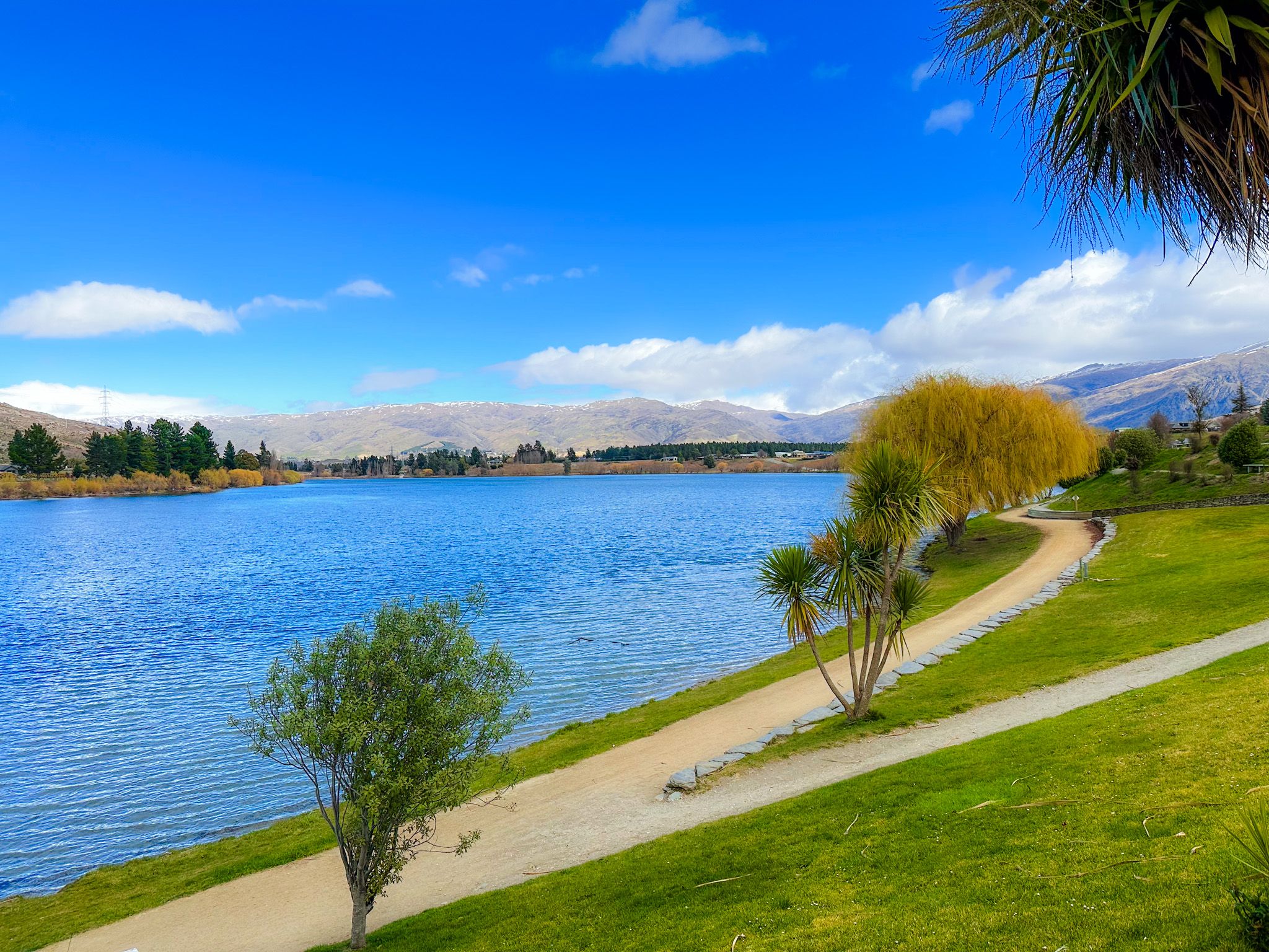
With Lake Dunstan wrapping around its edges and wineries dotting the surrounding hills, Cromwell sits in a sun-soaked valley flanked by dry hills and river terraces. The landscape is open and arid, typical of Central Otago, with golden tones especially striking in the late afternoon light.
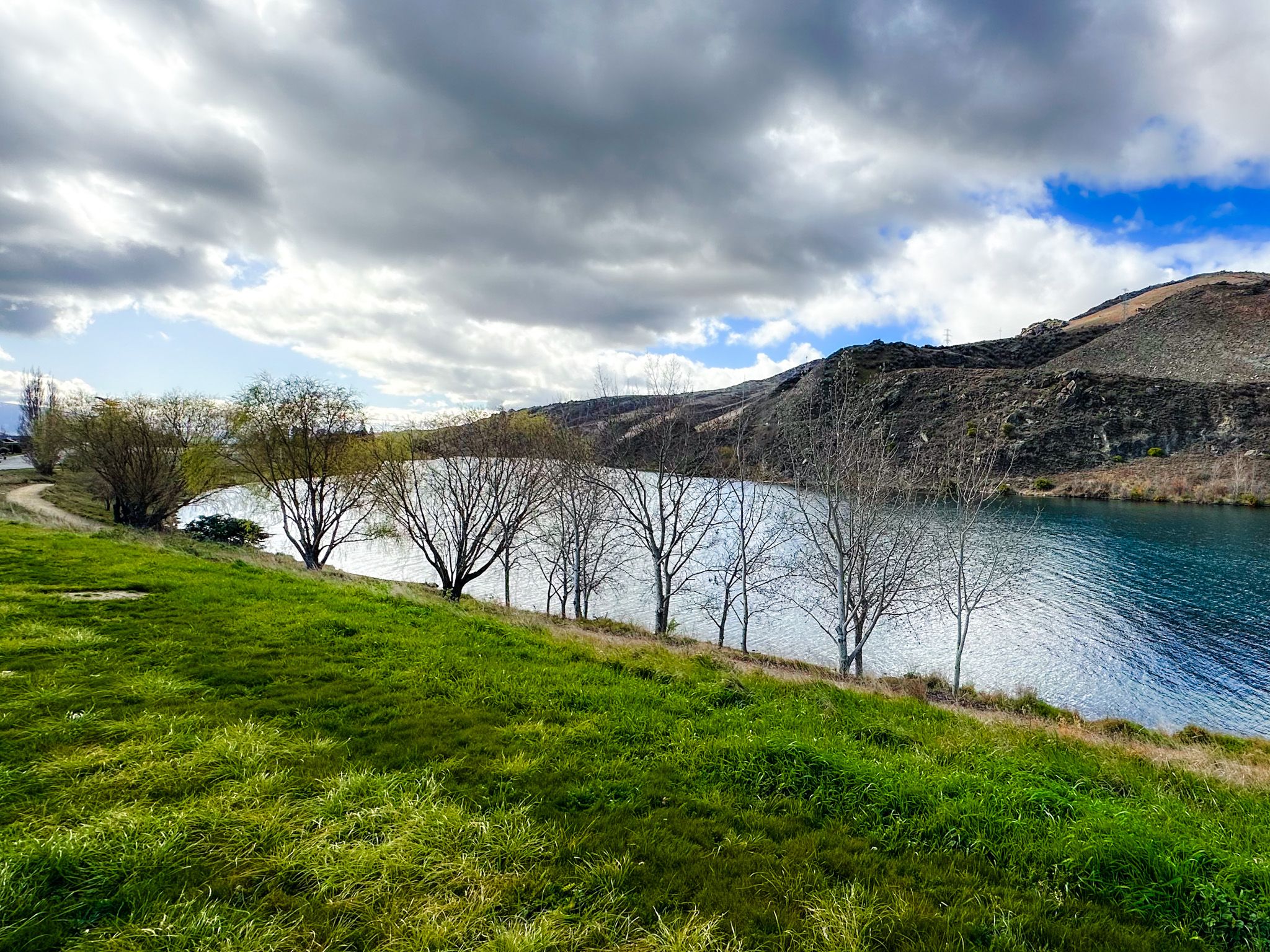
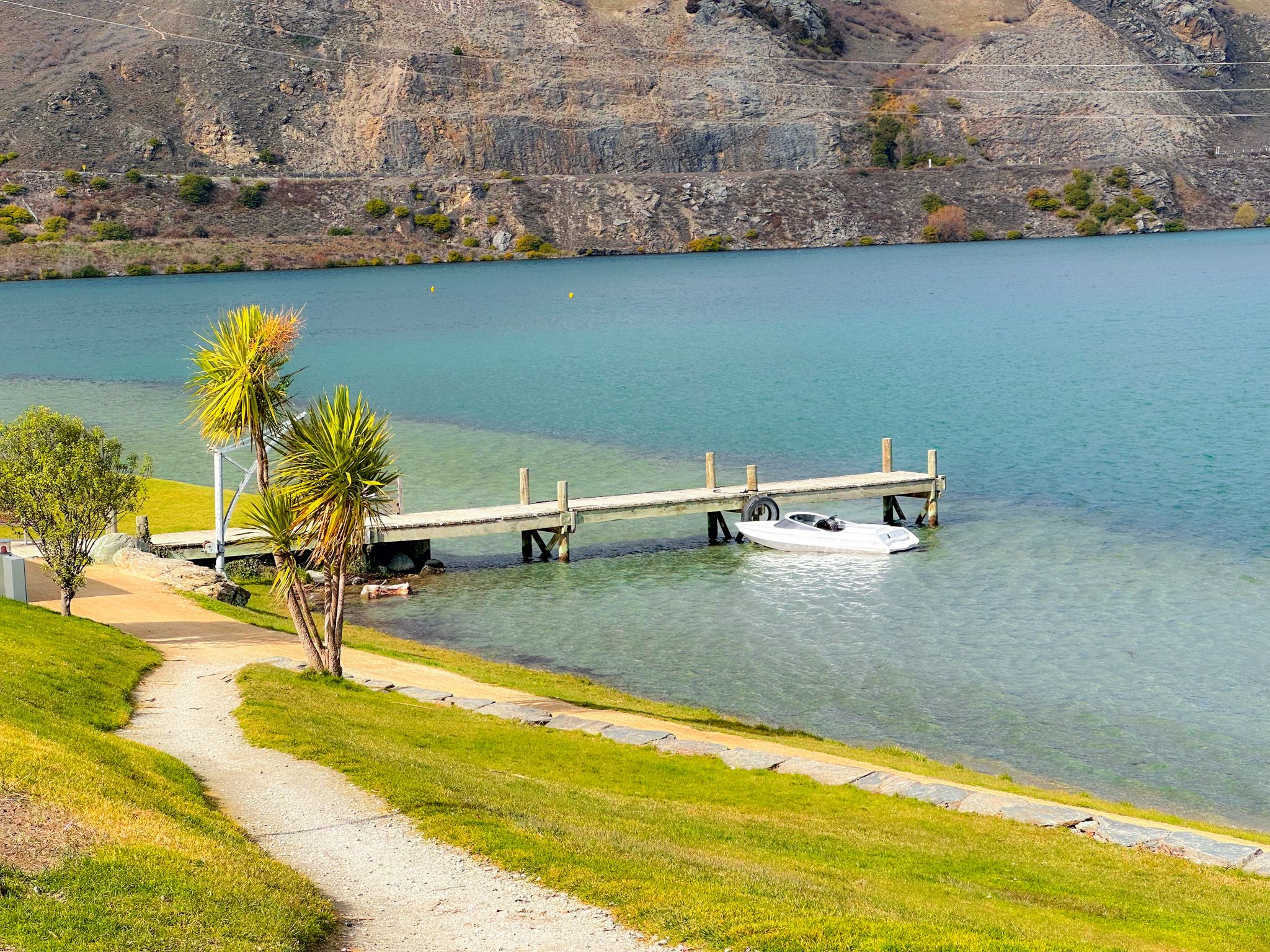
Lake Dunstan: From Flooded Valley to Glassy Playground
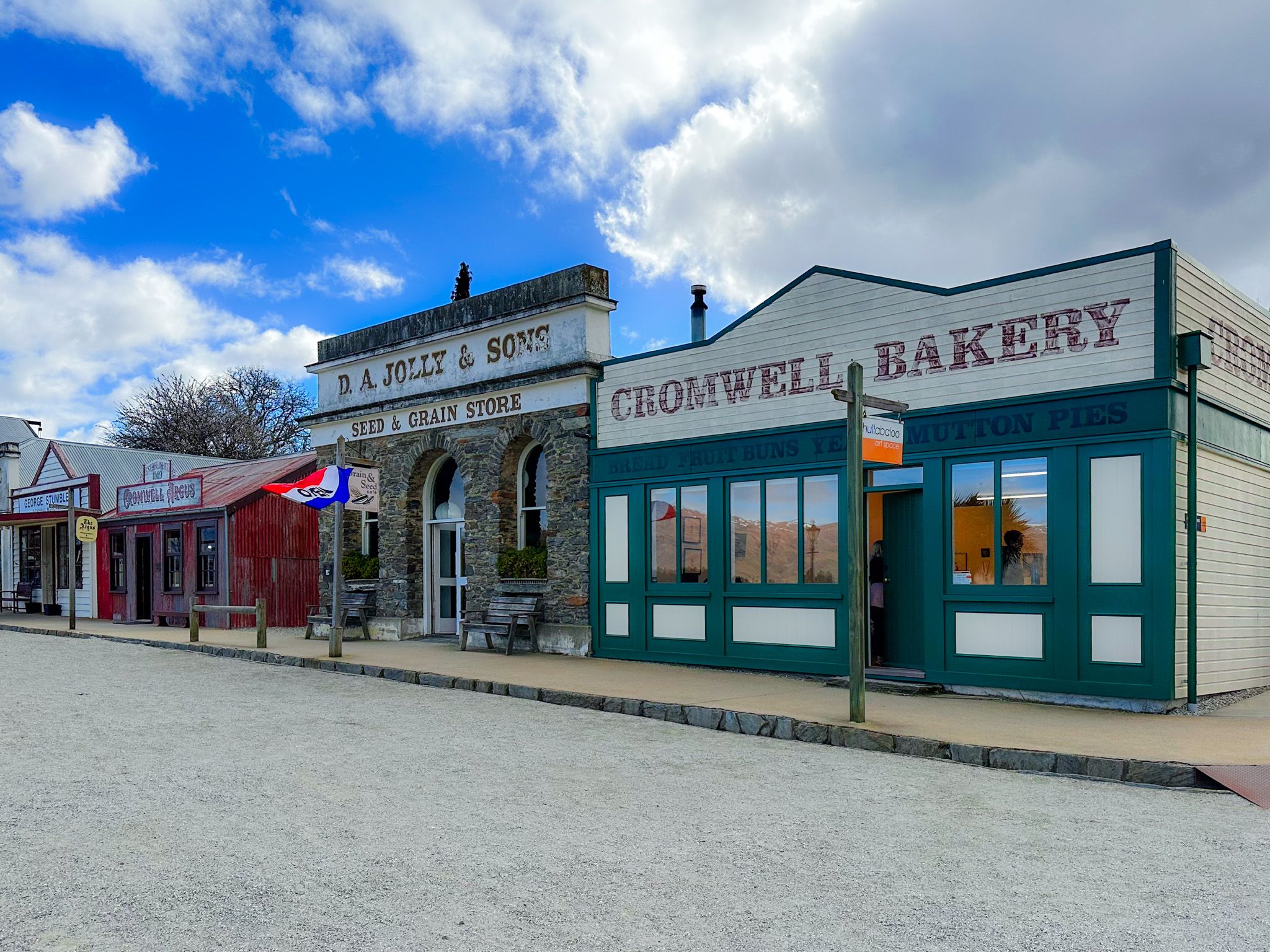
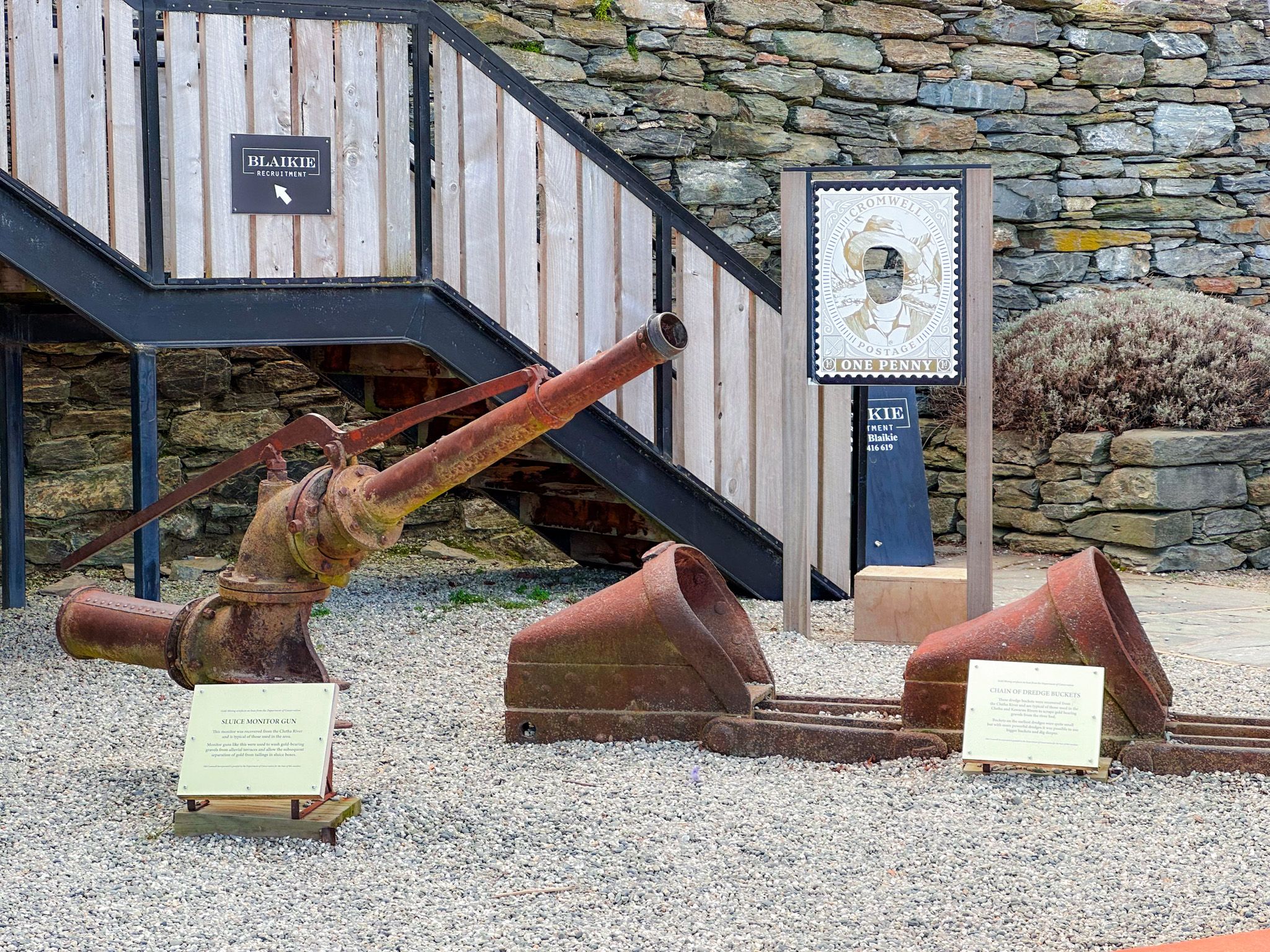
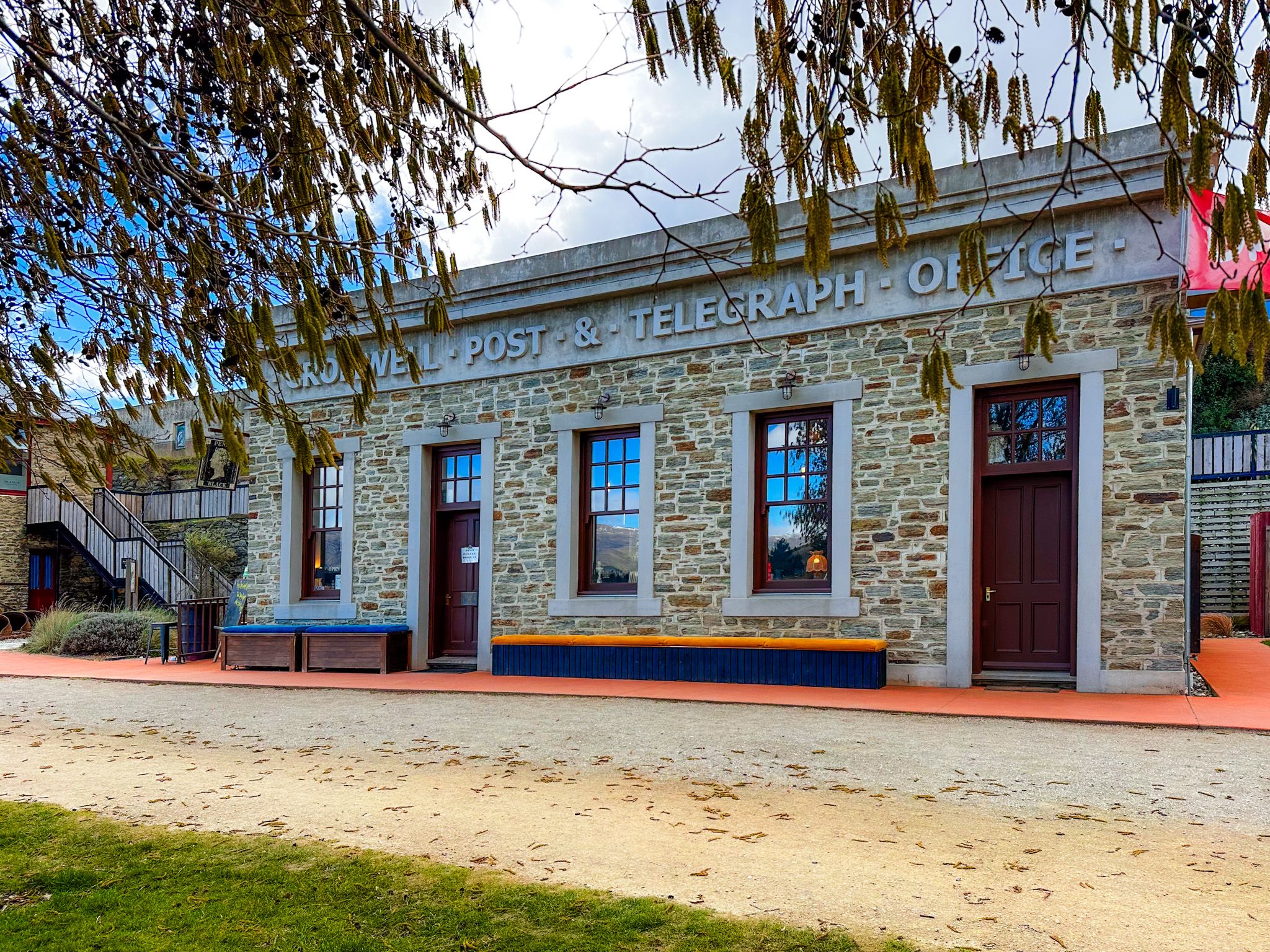
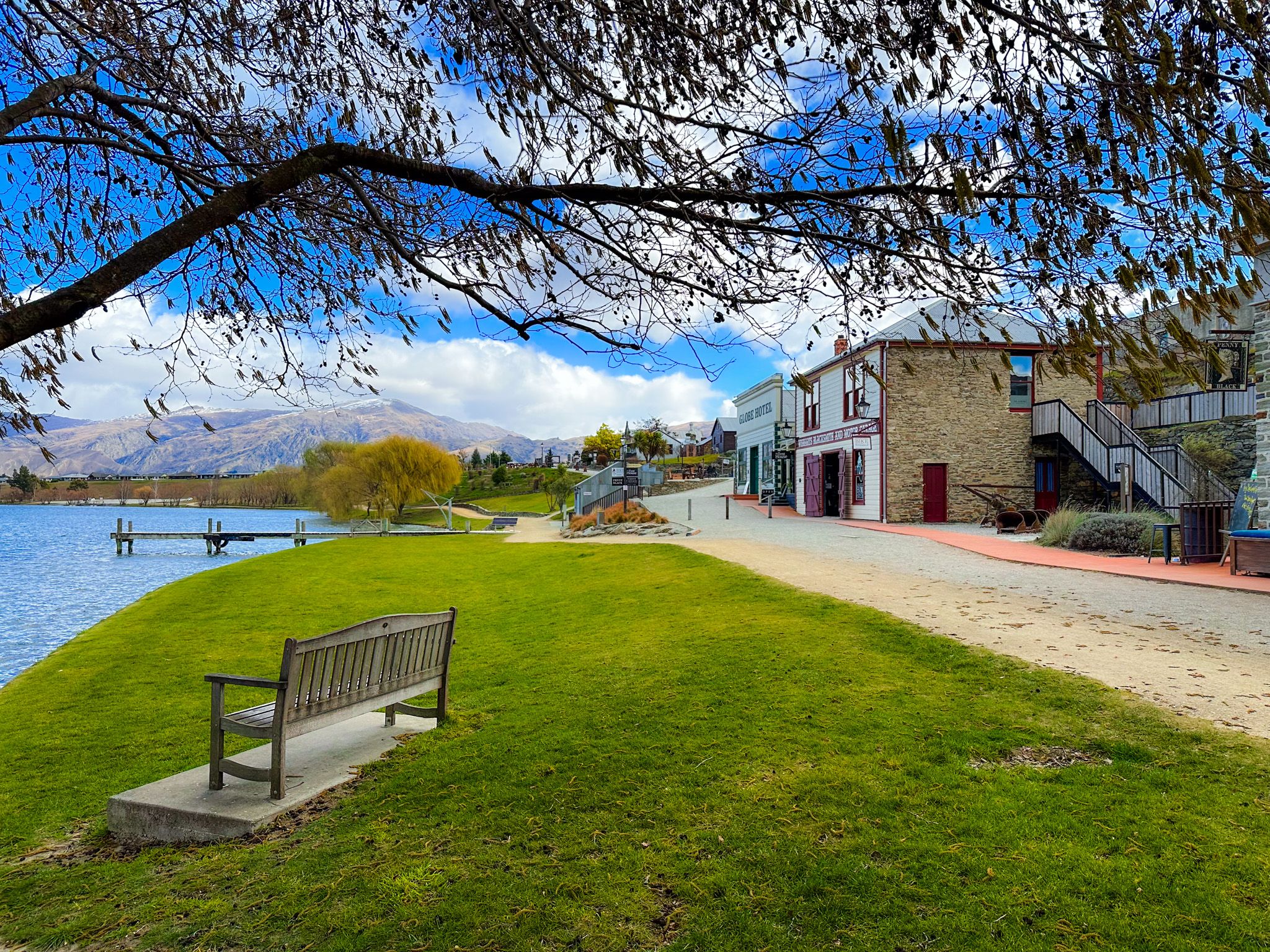
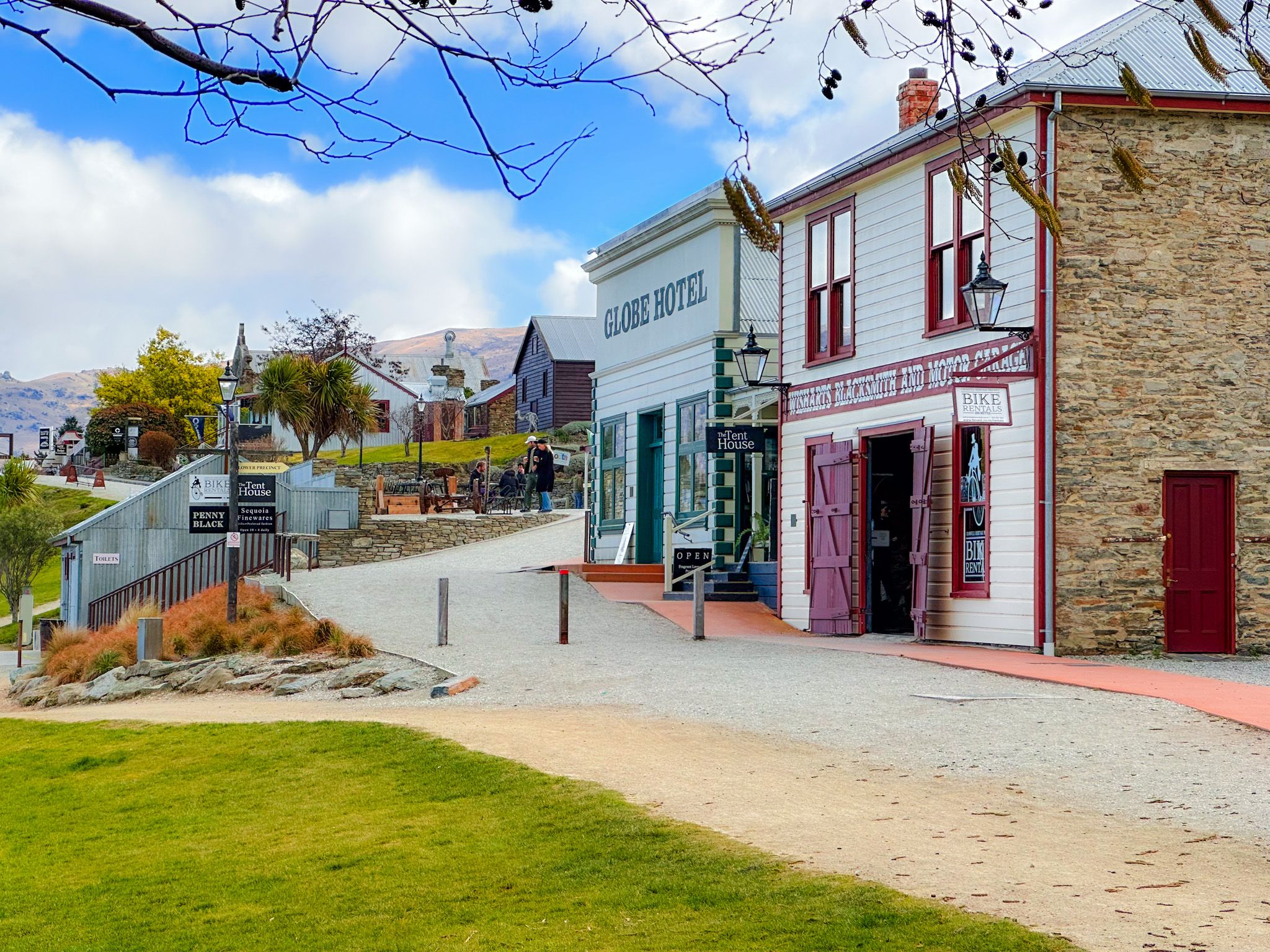
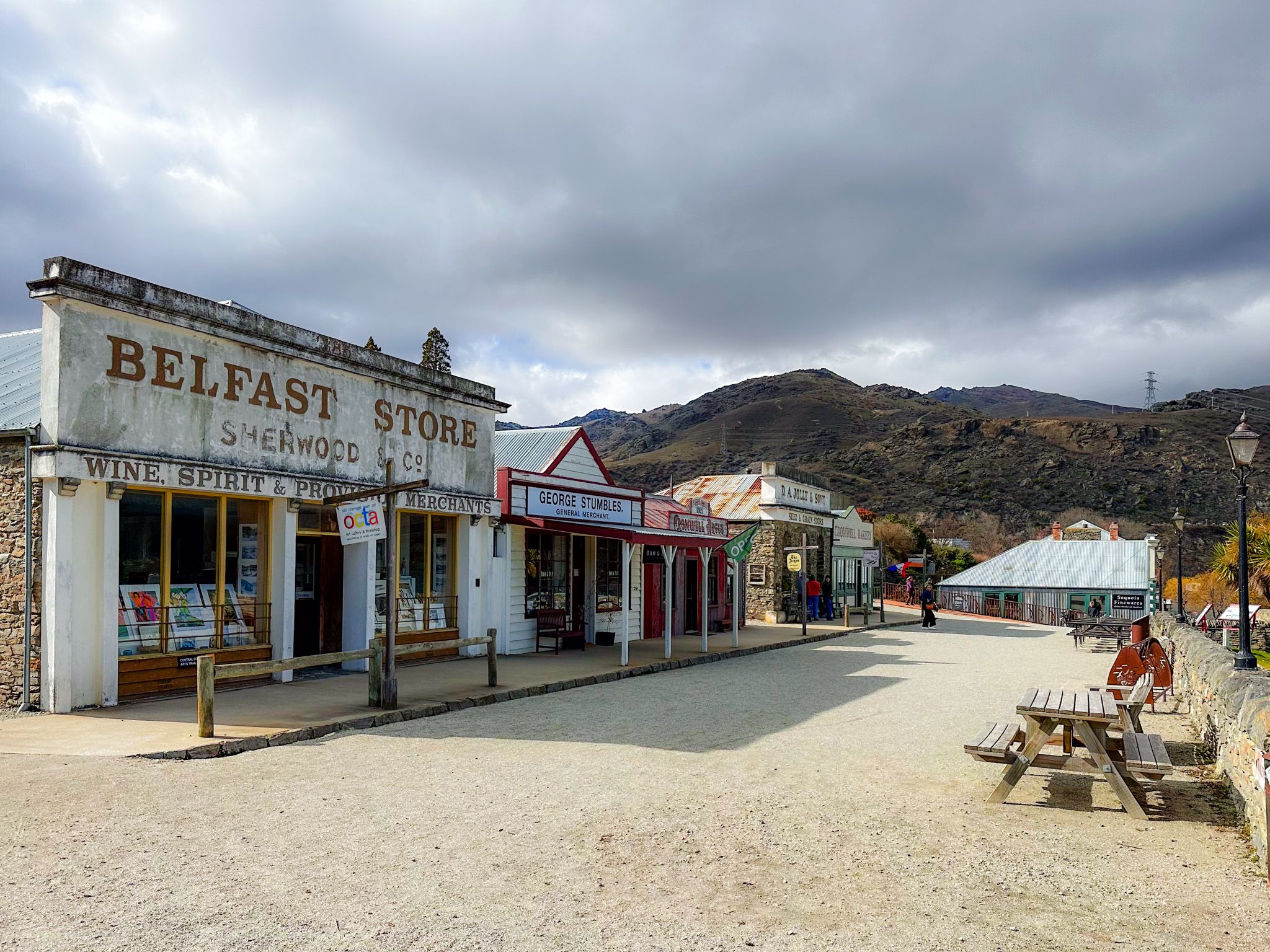
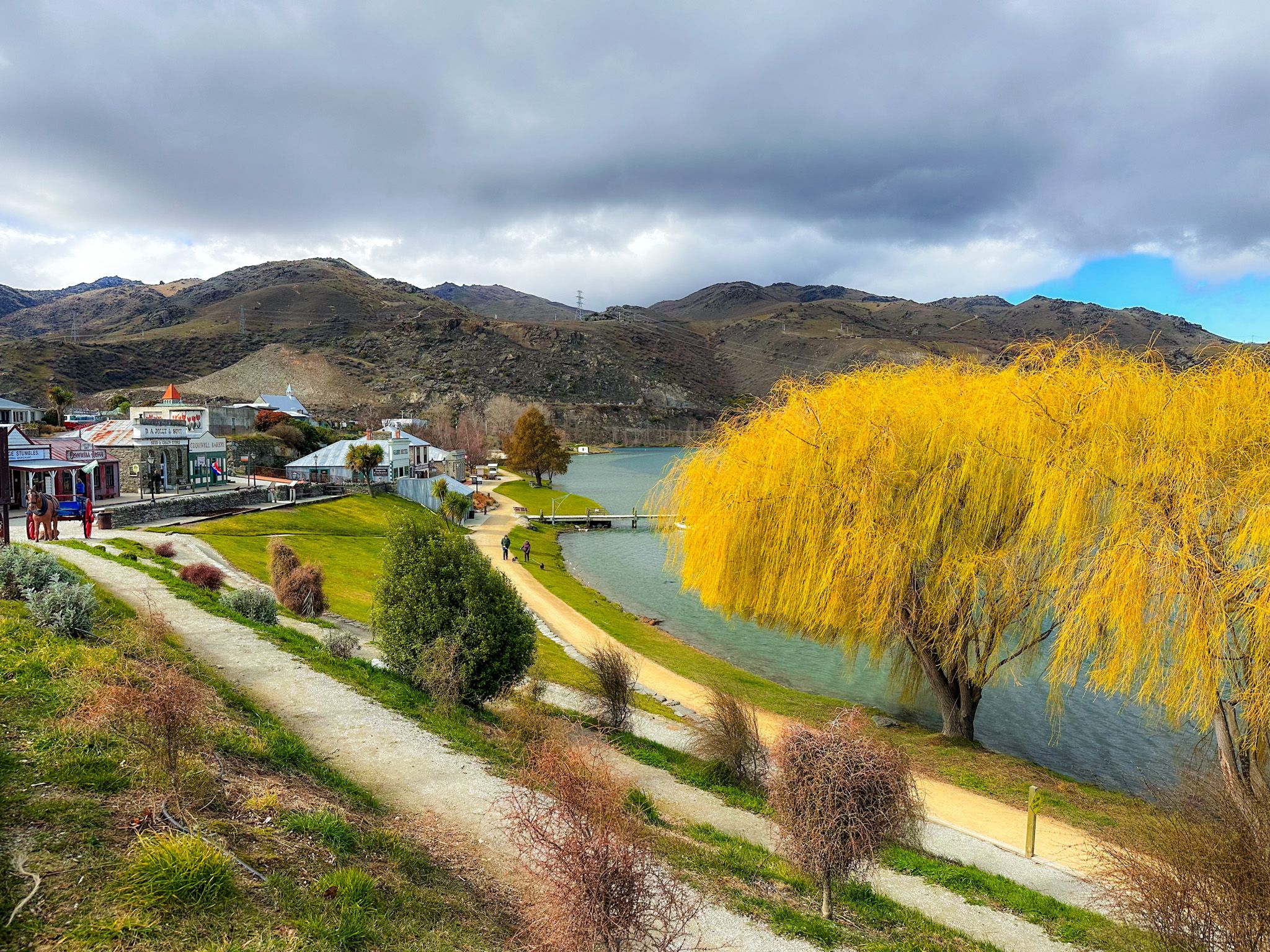
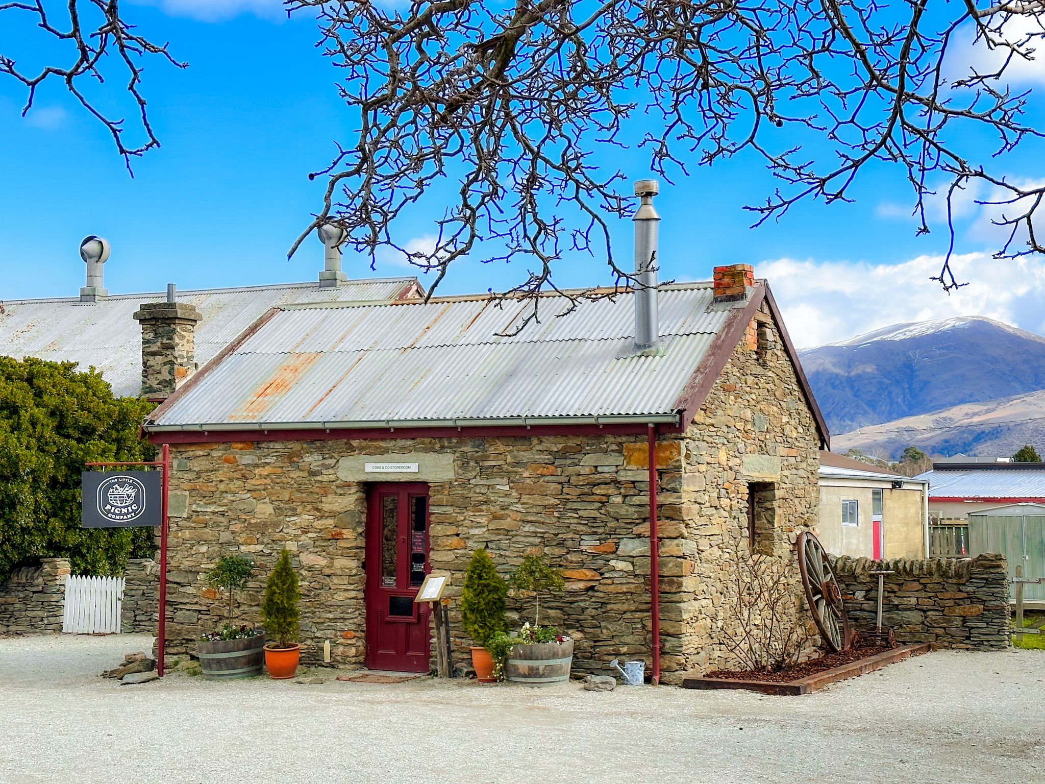
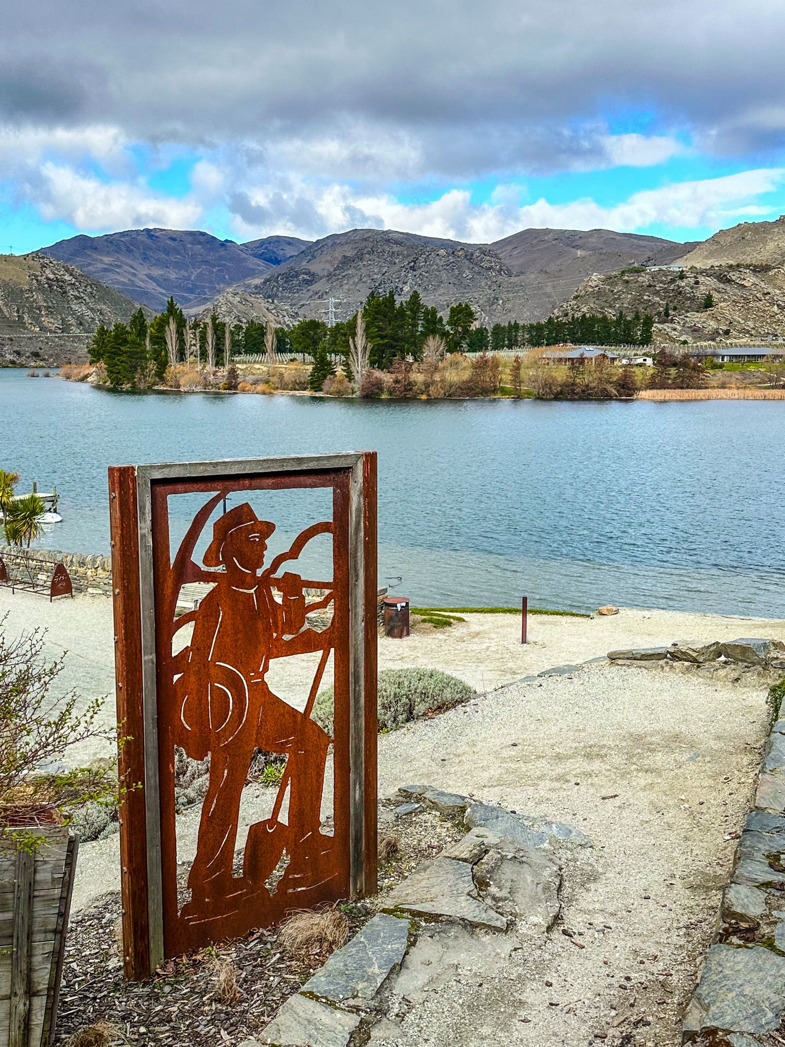
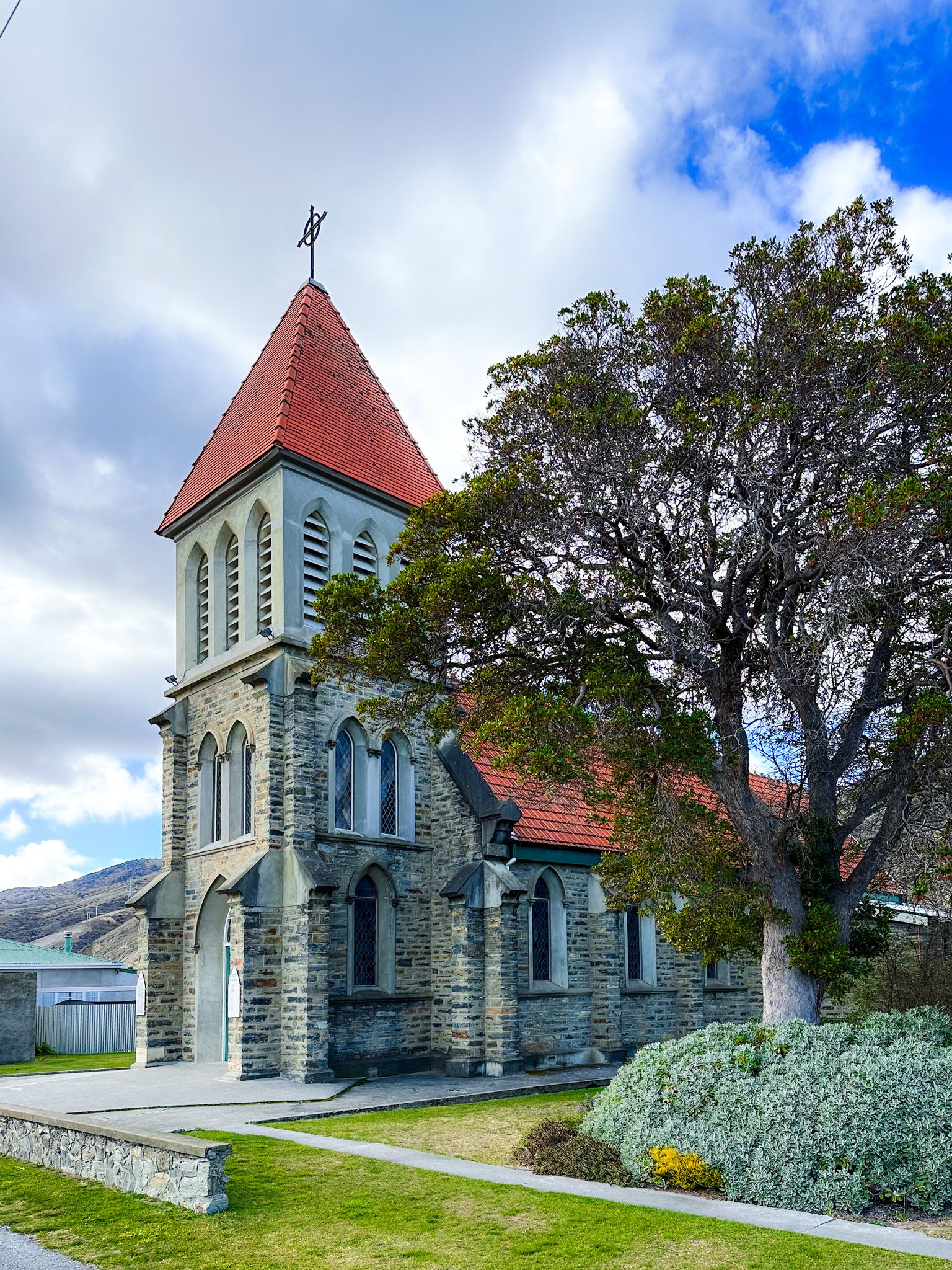
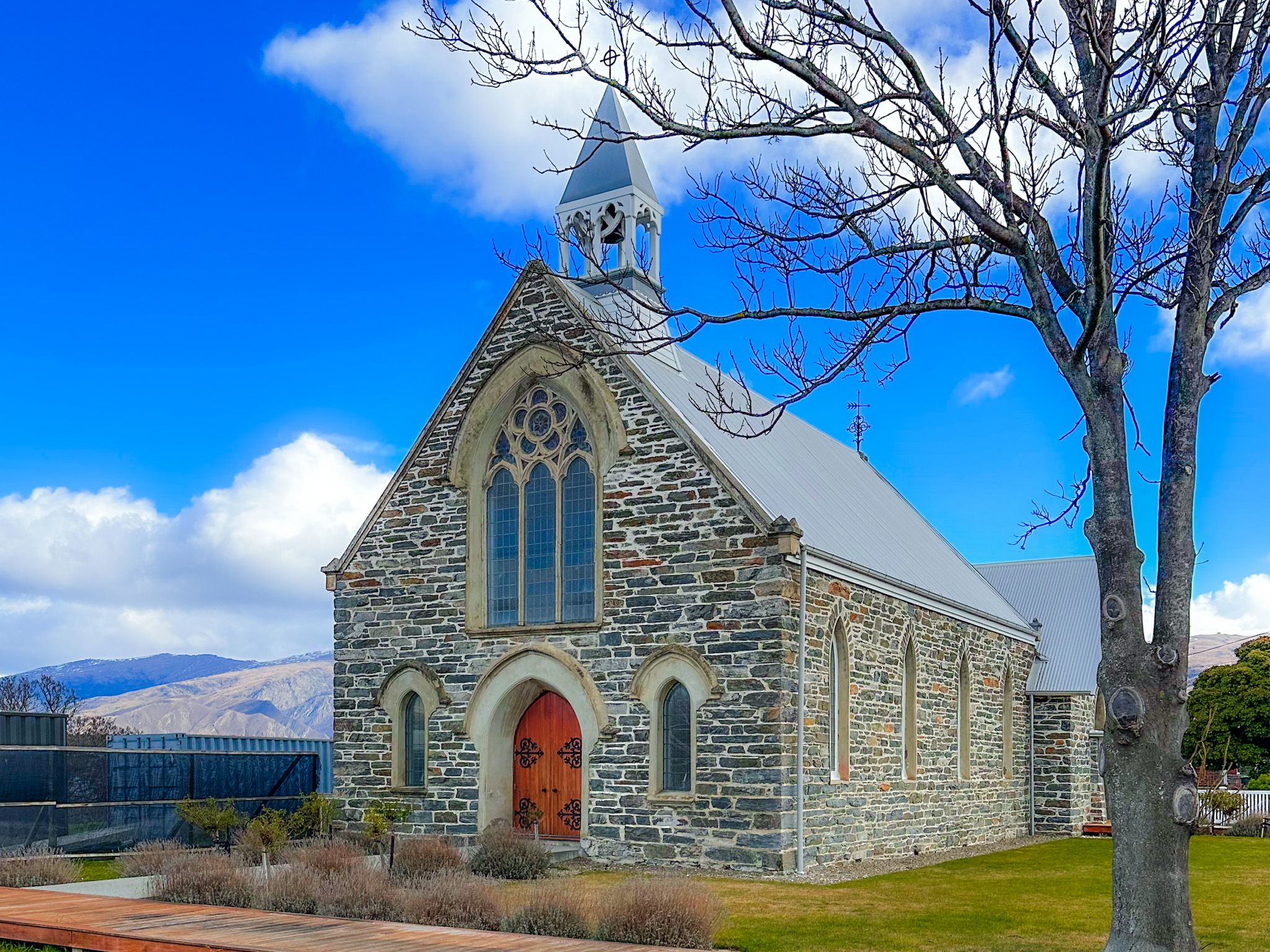
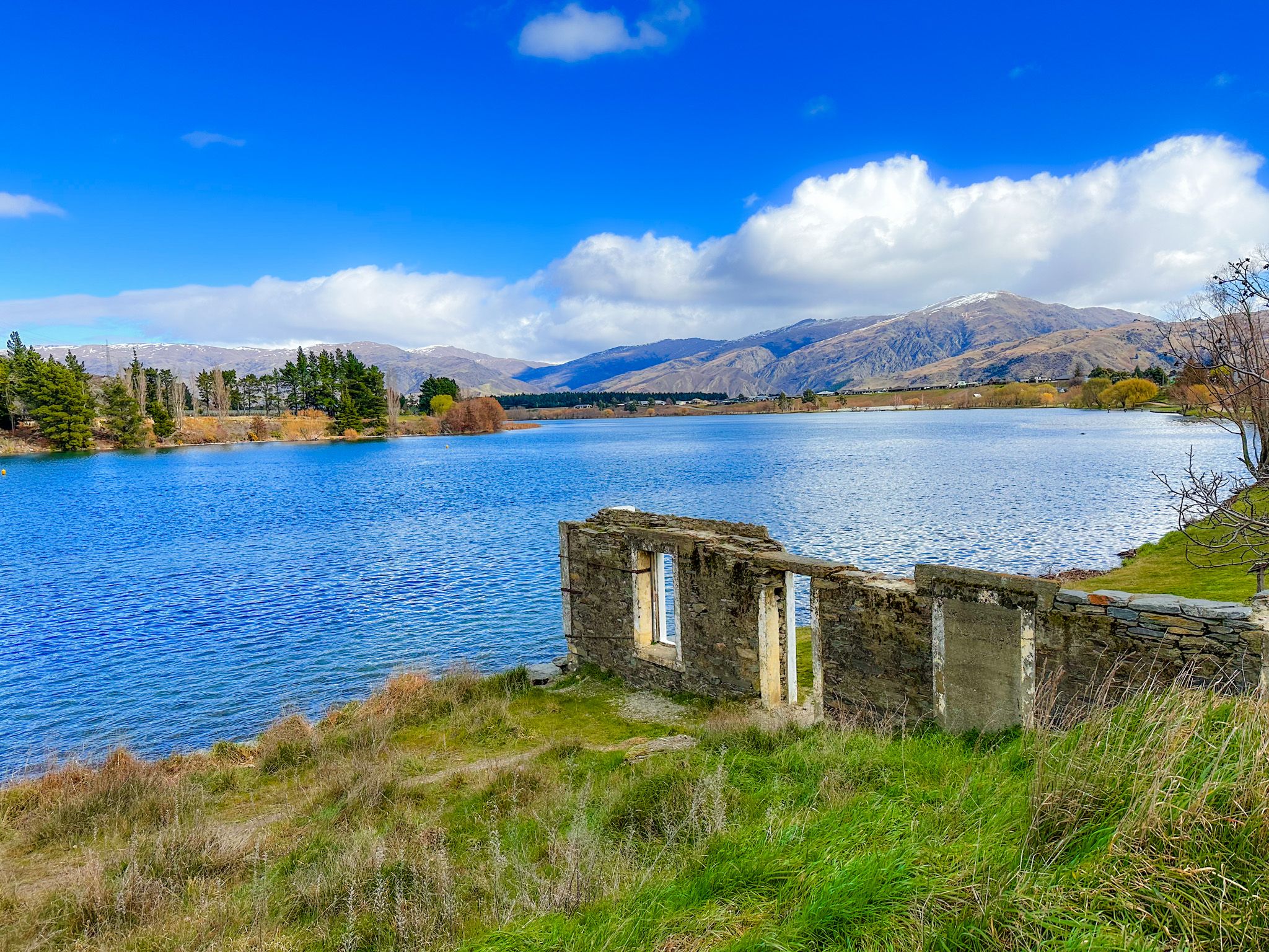
Lake Dunstan was formed in the 1990s following the construction of the Clyde Dam, flooding parts of the original town and many orchards that sat within the river valleys. Some of the historic buildings were relocated to the Cromwell Heritage Precinct. Here, you can wander restored stone and timber buildings that now house cafés, galleries, and artisan shops.
The area also has historic Ngāi Tahu connections as the Clutha River was a vital travel and food-gathering route. Today, the man-made lake offers calm, often glassy waters perfect for boating, swimming, and paddleboarding.
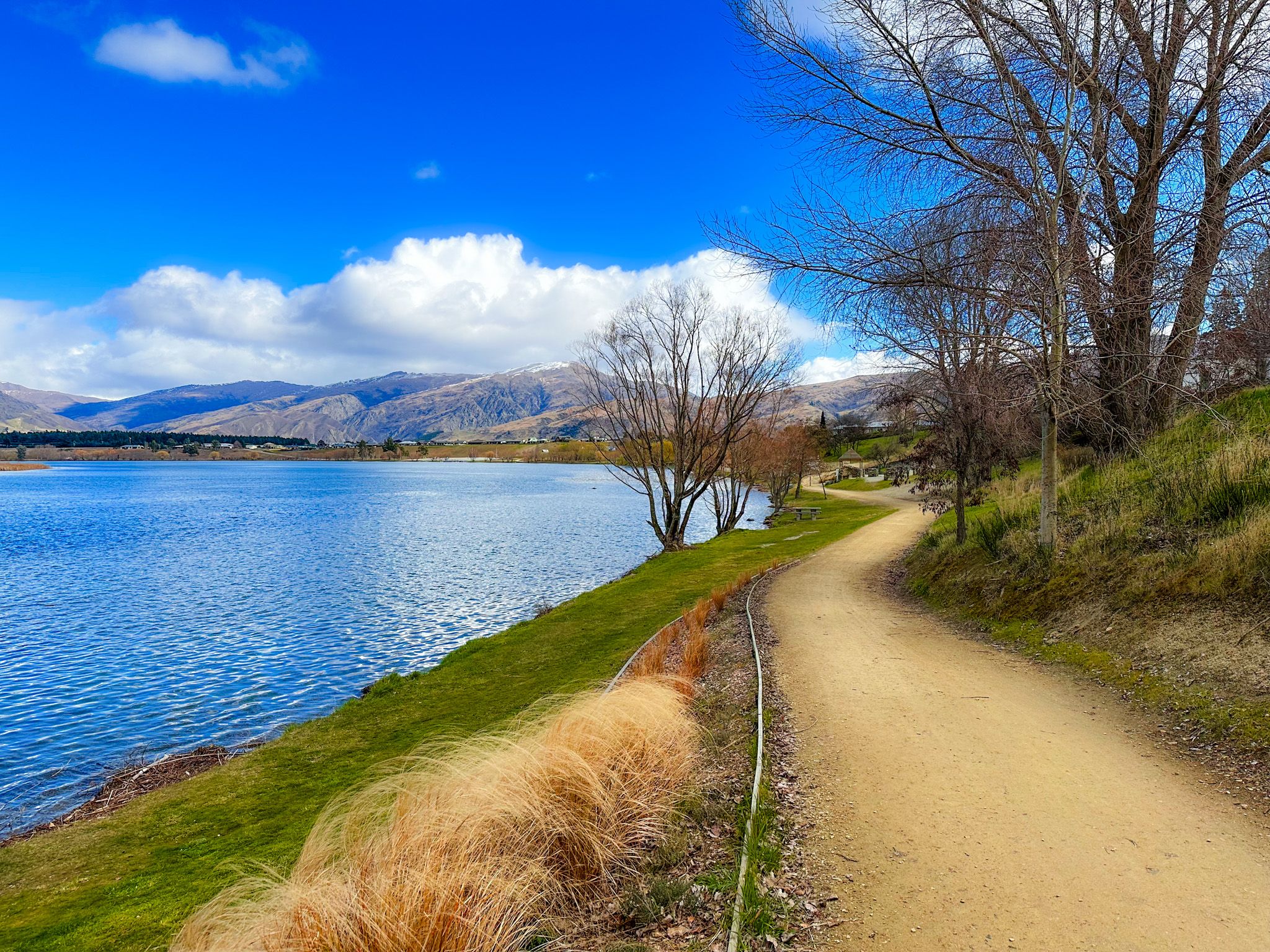
Trails, Cycling Adventures and Viewpoints
Cromwell is a great option for cyclists, being mostly flat with a trail that runs around the lakeside, through the Heritage precinct to Bannockburn. For a more adventurous option, the Lake Dunstan Trail is a standout cycling and walking route stretching between Cromwell and Clyde, winding through dramatic gorges and alongside the lake.
For sweeping views, there is a large parking area above the old river junction on State Highway 8, overlooking the lake and town. Sugarloaf Terrace above Lowburn also provides an excellent view of the lake and town.
The Home of Stonefruit and Grapes
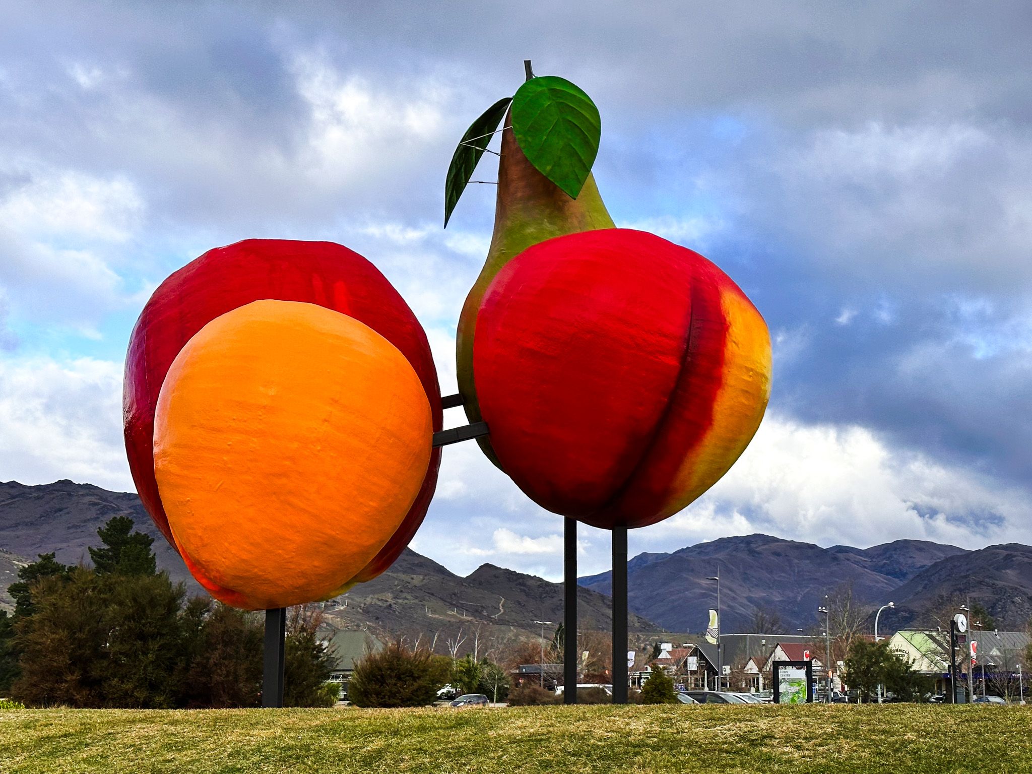
Cromwell has long been known for its stonefruit, cherries, apricots and peaches, with a large colourful fruit statue as you enter the town. Along State Highway 6, there are several fruit shops and stalls, which are particularly popular in Summer and Autumn. Grapes have been a more recent growth industry, with many wineries around the flats near Cromwell and terraces above Lake Dunstan. The town centre has supermarkets, eateries, and a growing arts scene centred around the precinct.
How to Get There
From Queenstown, take State Highway 6 northeast to Cromwell via the Kawarau Gorge (approximately 60 km, 50 minutes). From Wānaka, drive south on State Highway 6 through Luggate (approximately 40 minutes). From Alexandra, follow State Highway 8 north, and from Tarras, it is south on State Highway 8 alongside Lake Dunstan. The Heritage Precinct is signposted off Melmore Terrace.
Nearby places to visit include Clyde, the Bannockburn Sluicings, Goldfields Mining Centre in the Kawarua Gorge and the Bendigo goldfields ghost towns. From Bannockburn, you can also access the Nevis Road and explore the very remote Duffers Saddle and Nevis Valley.