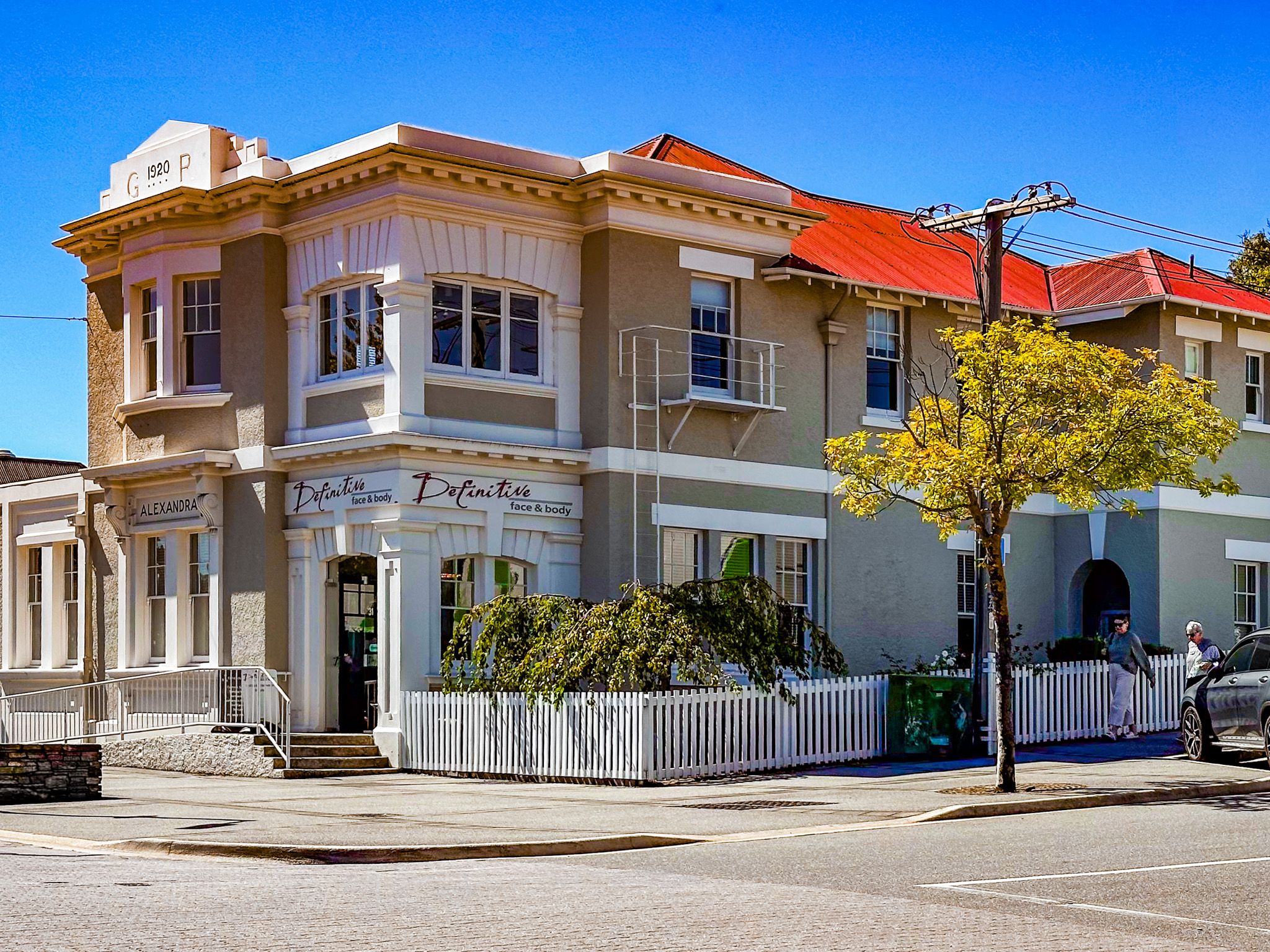
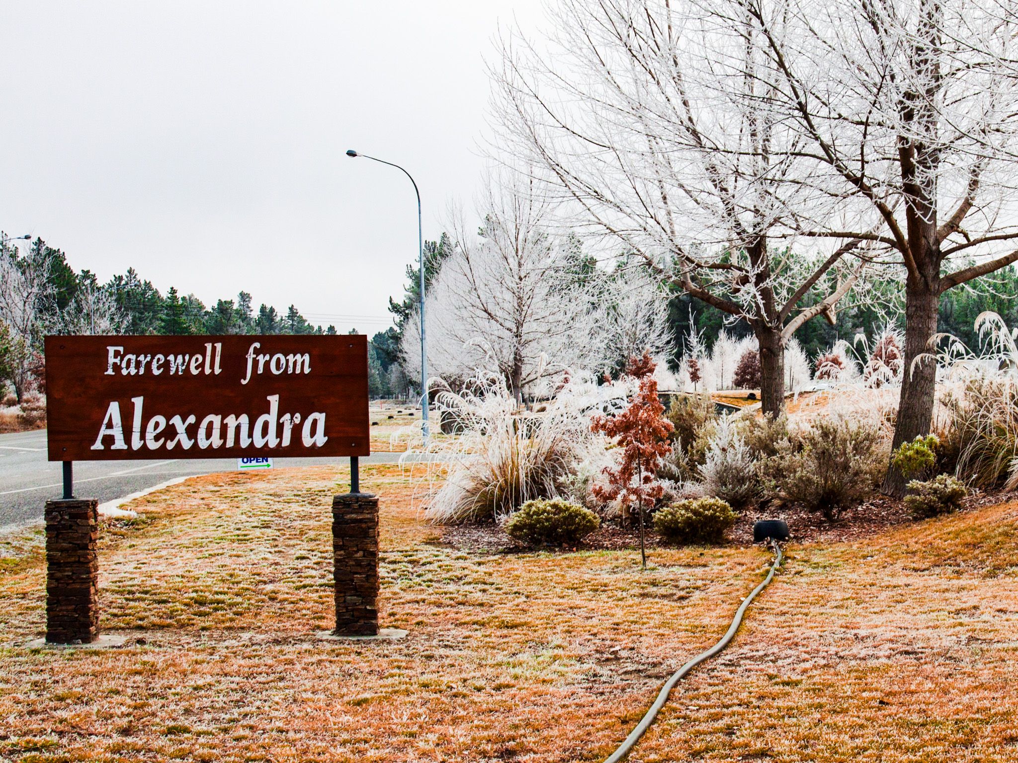
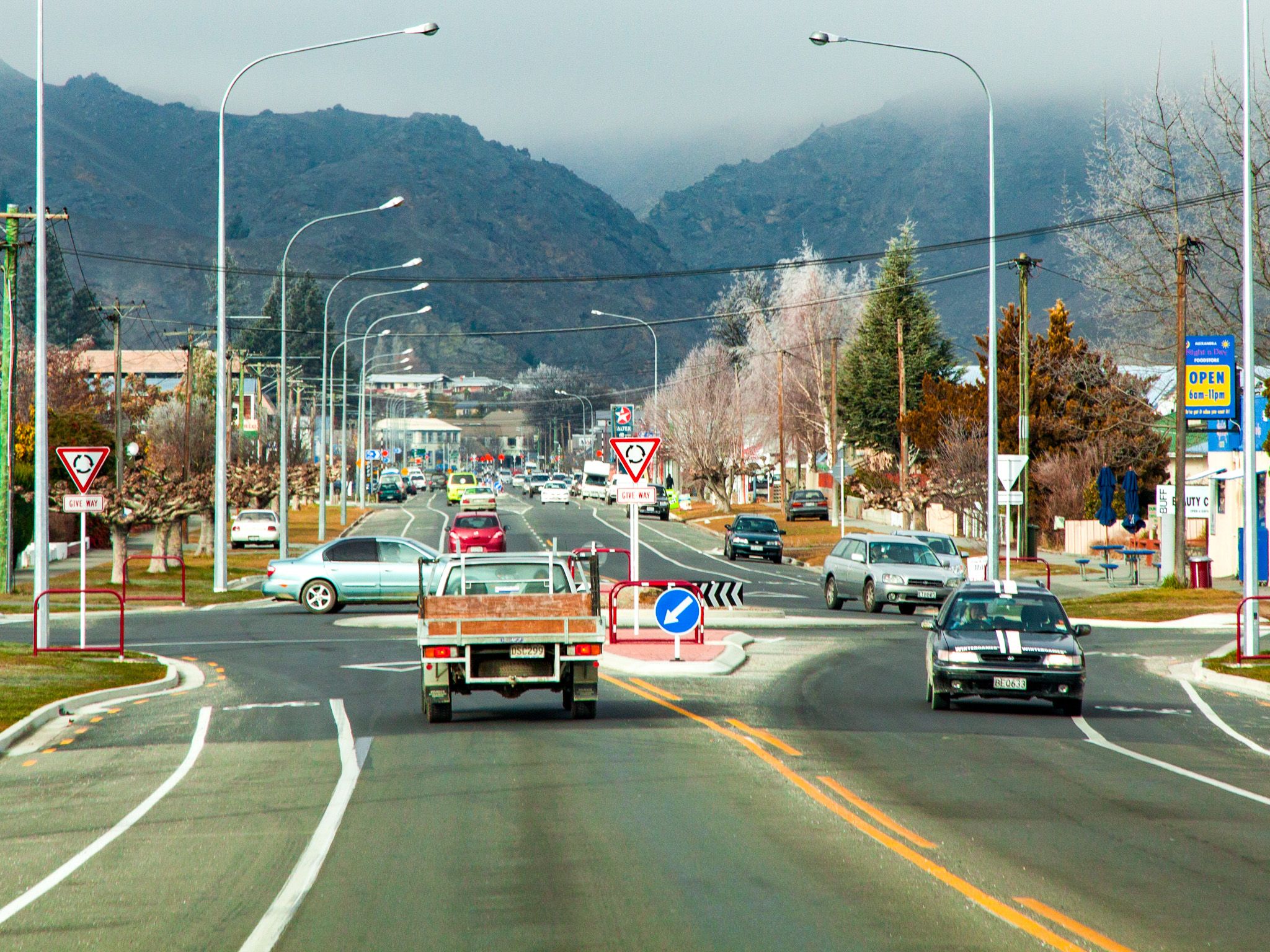
Alexandra, a gateway to Central Otago
Alexandra sits at the junction of the Clutha River / Mata-au and Manuherikia rivers, surrounded by schist hills, dryland vineyards, and expansive views. It’s the second-largest town in Central Otago after Cromwell and an excellent base for exploring the highlands and valleys of the region and the Roxburgh Gorge.
Rivers, Bridges, and Rail Trails
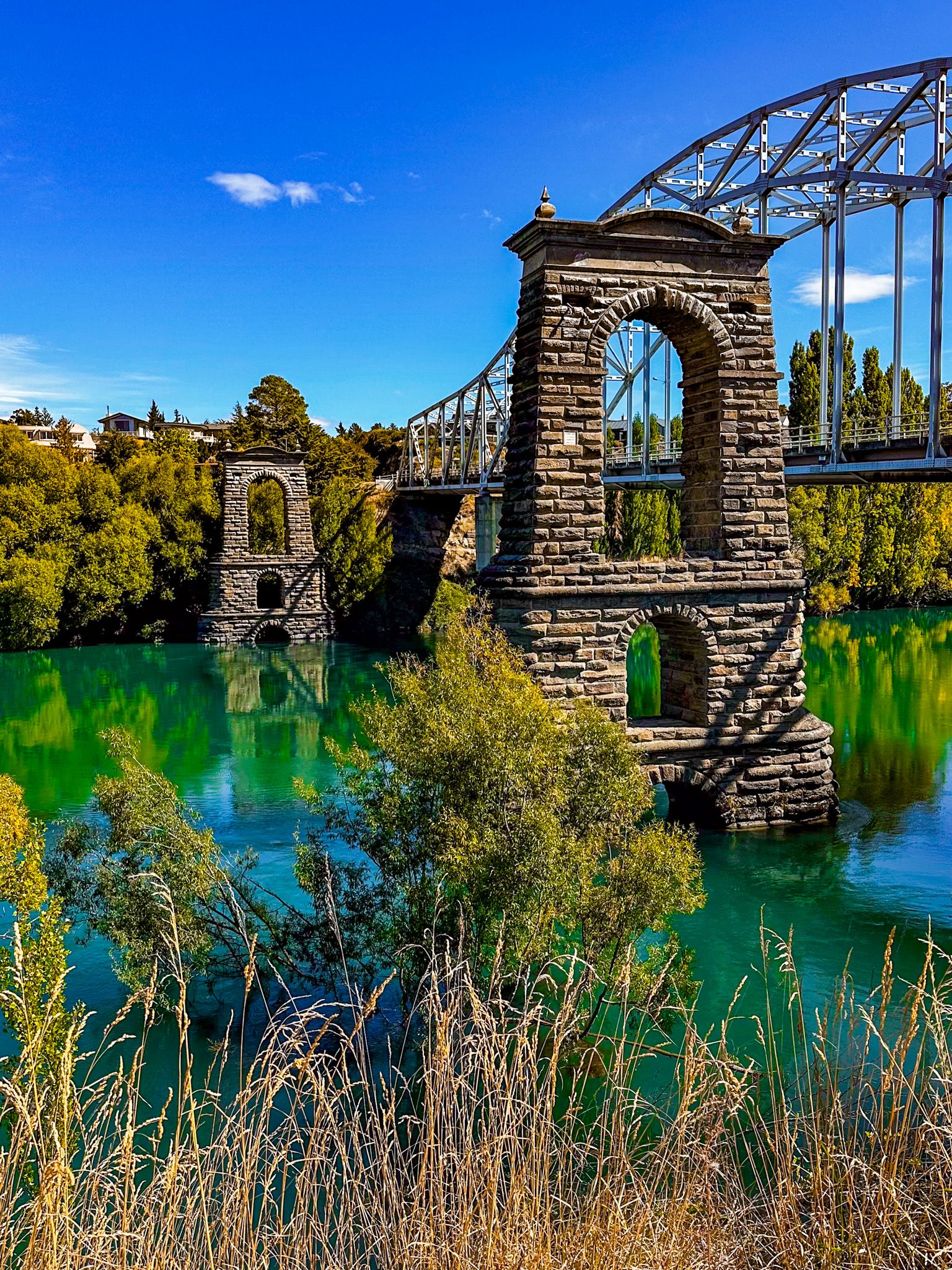
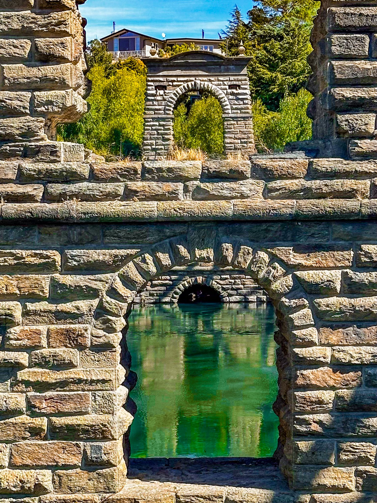
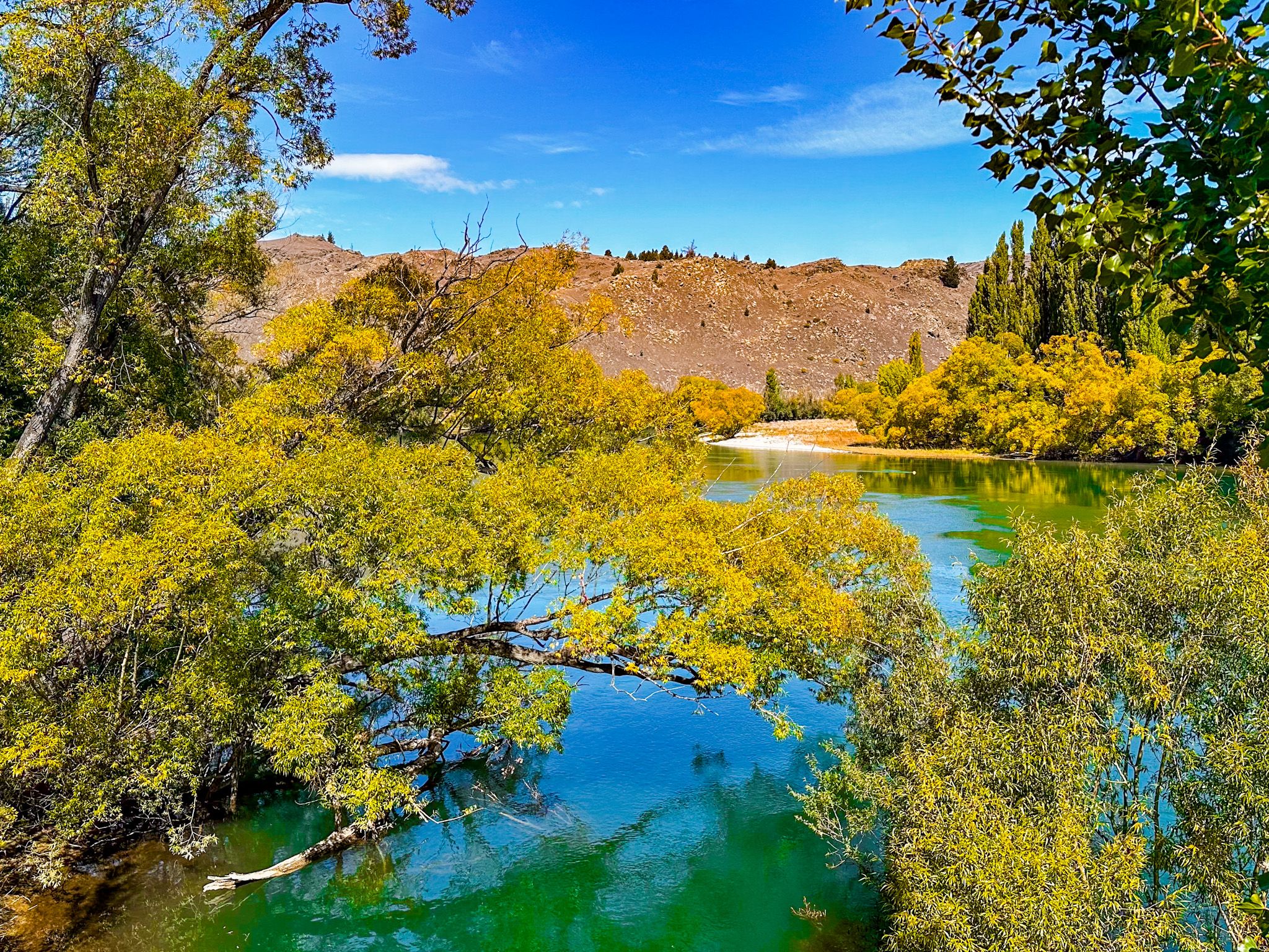
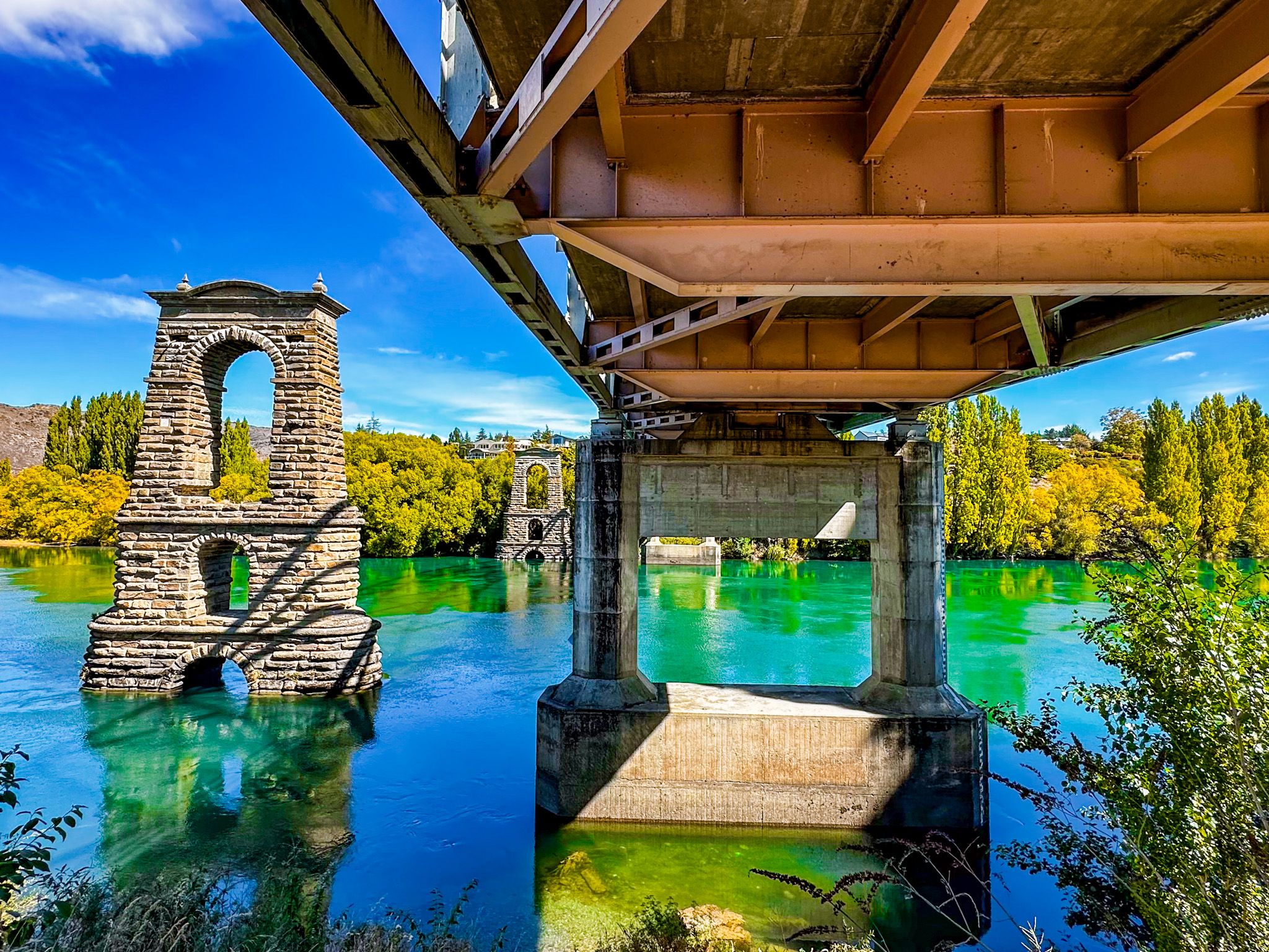
Alexandra’s identity is shaped by the Clutha and Manuherikia rivers, which meet near the town centre. The modern road bridge spans the Clutha, but just upstream, you’ll see the striking stone piers of the original 1882 suspension bridge, remnants preserved as a historic place.
The town is a significant hub on the Otago Central Rail Trail and marks the northern end of the Roxborough Gorge Trail and Clutha Gold Trail, which goes all the way to Waihola on State Highway 1. There is also the Millennium Track which follows the Clutha River northwest. From Alexandra, you can cycle or walk toward Clyde, Omakau or Roxburgh, tracing railway corridors and river margins.
Vineyards and Drylands
Surrounding Alexandra is a patchwork of vineyards, orchards, and pasture. The region’s dry climate, hot summers, and cold winters make it ideal for cool-climate varietals, particularly Pinot Noir. Several cellar doors are open for tastings, with small-scale producers offering direct-to-bottle experiences.
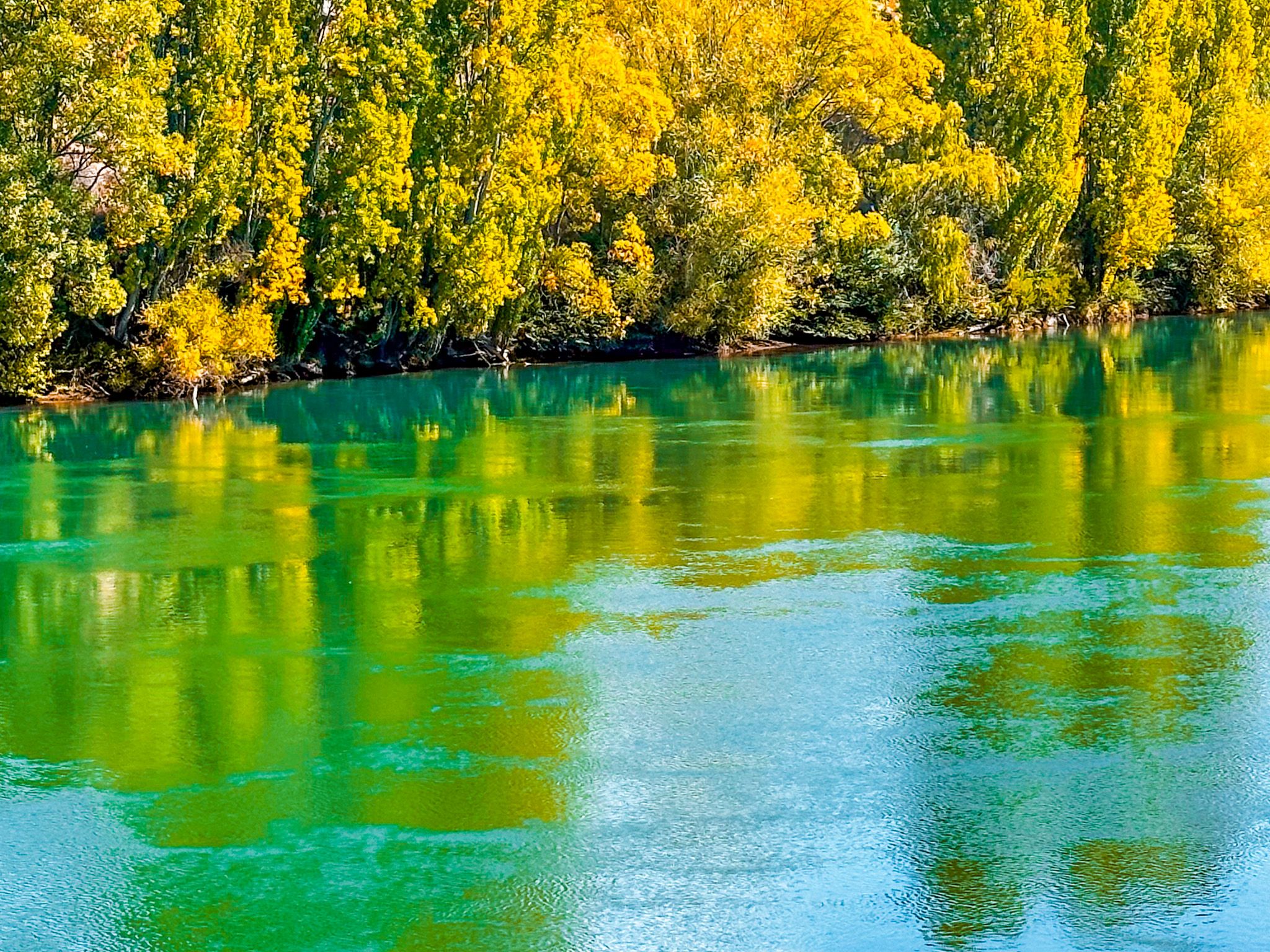
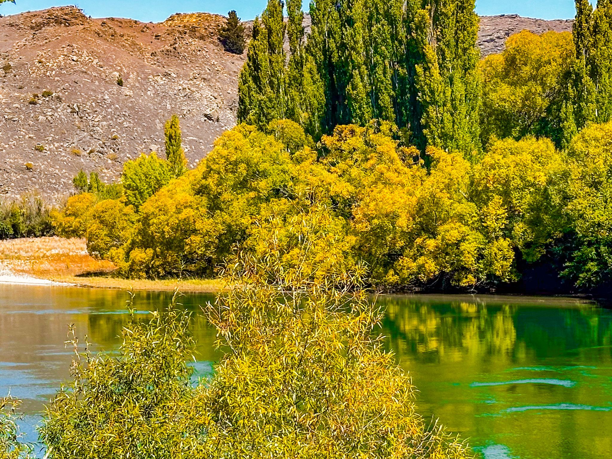
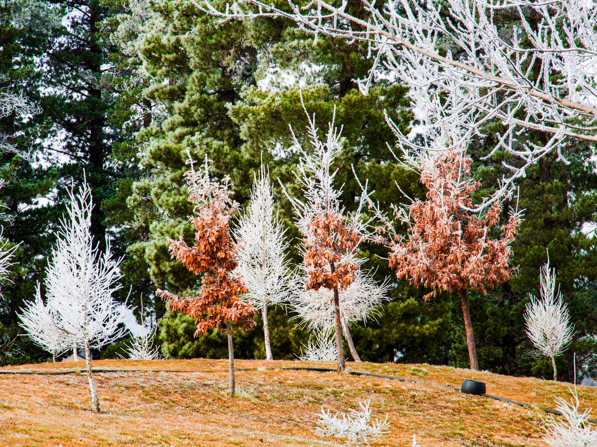
The landscape is equally compelling: rocky outcrops, golden tussock, and the wide valley floor stretch in all directions. In Autumn, poplars, willows and fruit trees add gold and crimson, amongst the best Autumn colours you will see in New Zealand..
Gold-Era History and a Giant Clock!
Alexandra began life as a gold rush town, with diggings along the Manuherikia and sluicing near Tucker Hill. Remnants include tailings, water races, and stone ruins. The town was once known as Lower Dunstan, but it was renamed in 1863 in honour of Queen Alexandra. Historic buildings include the former post office (now a museum), gold-era shops, churches, and cottages.
The prominent town clock, located on Knobbies Range and lit at night, is a much more modern landmark. It was built by the Jaycees club in 1968 and features an 11-meter diameter face and a minute hand that is 5.6 meters long and an hour hand that is 4 meters long.
Māori Name and Significance
The Māori name Areketanara is a transliteration of Alexandra, rather than a traditional name. The Manuherikia was a travel corridor for Ngāi Tahu and earlier iwi, linking the Waitaki Valley and Clutha river catchments. Kāinga (settlements) and nohoaka (camps) existed seasonally along both rivers. Early moa-hunter sites have been recorded in the Manuherikia Valley, especially near Butchers Gully and Chatto Creek.
How to Get There
Alexandra is located on State Highway 8, 190 km from Dunedin (a 2-hour, 20-minute drive) and 90 km from Queenstown (a 1-hour, 10-minute drive). You can also get there through the Maniototo Plain on the Pigroot (State Highway 85) from State Highway 1 at Palmerston, a distance of 160 km, taking around 2 hours.
Places to explore from Alexandra include Clyde, Roxburgh Gorge, St Bathans, Ophir, Eaarnscleugh Tailings and Butchers Gully.