Discover Millers Flat
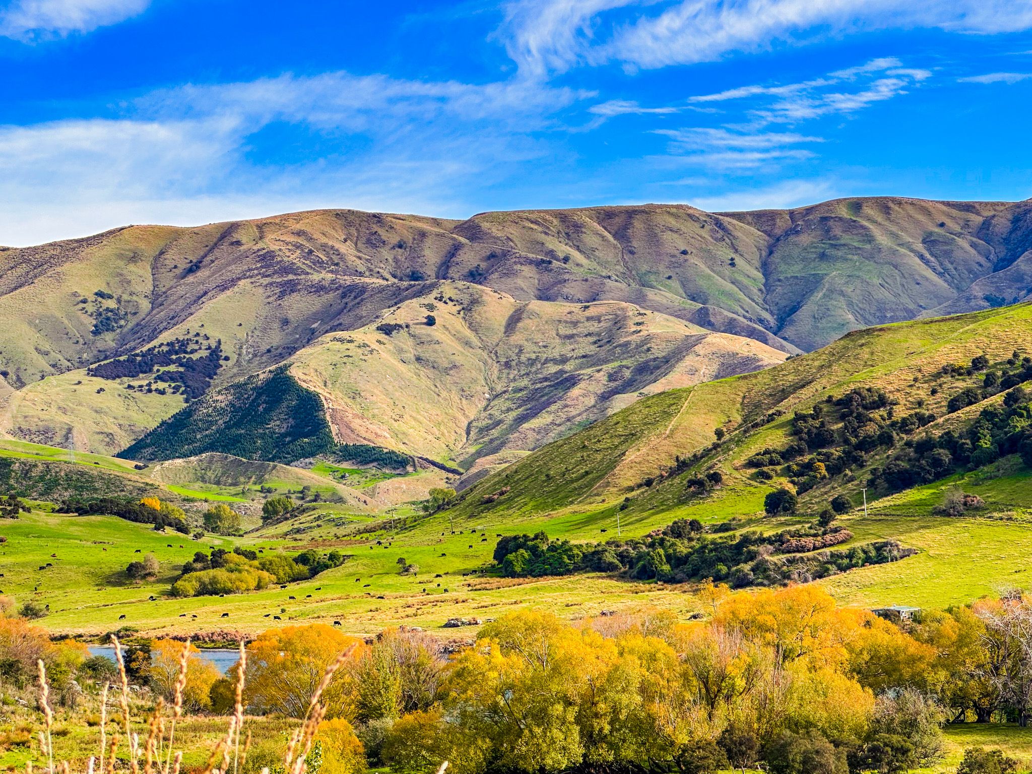
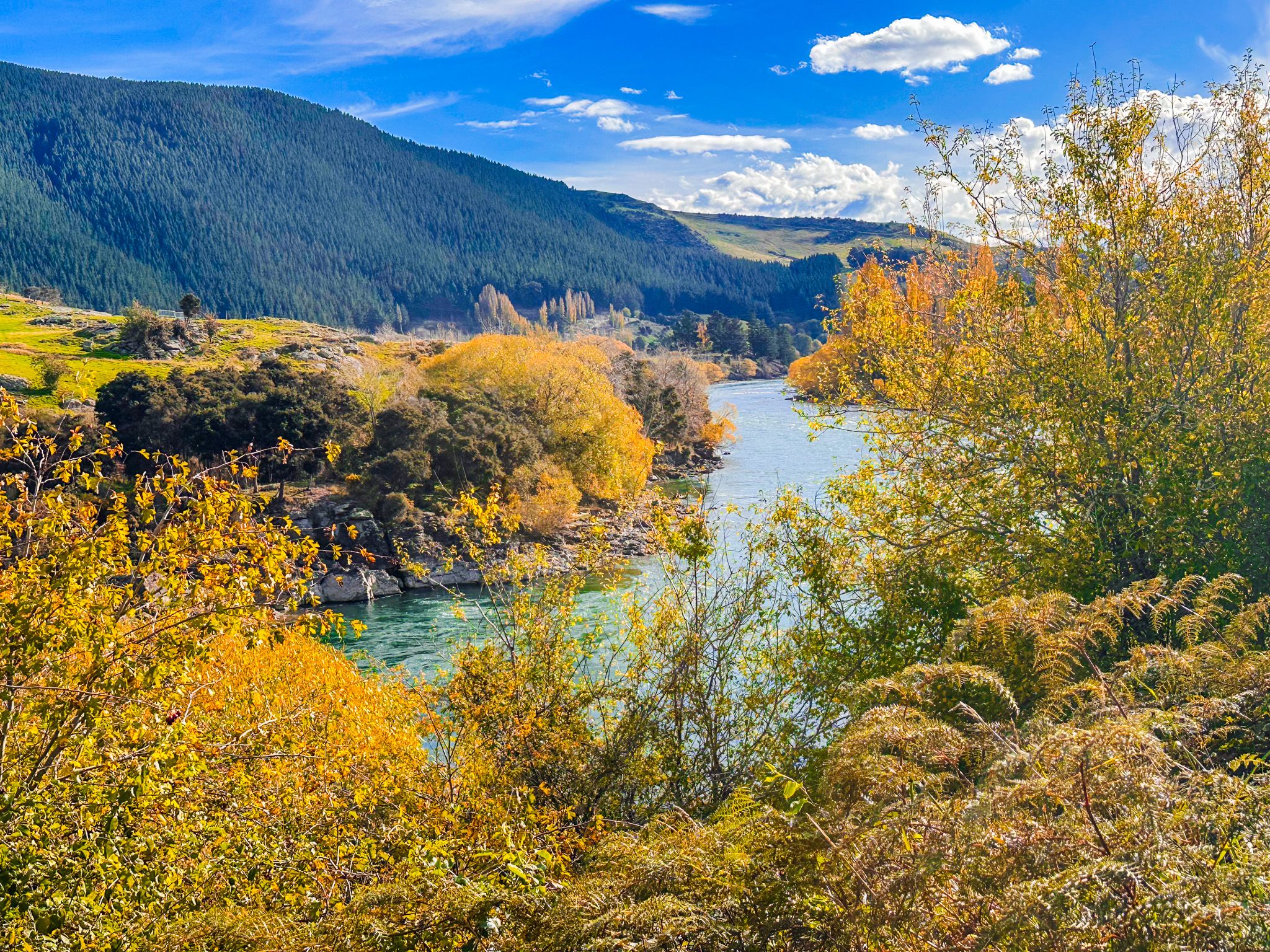
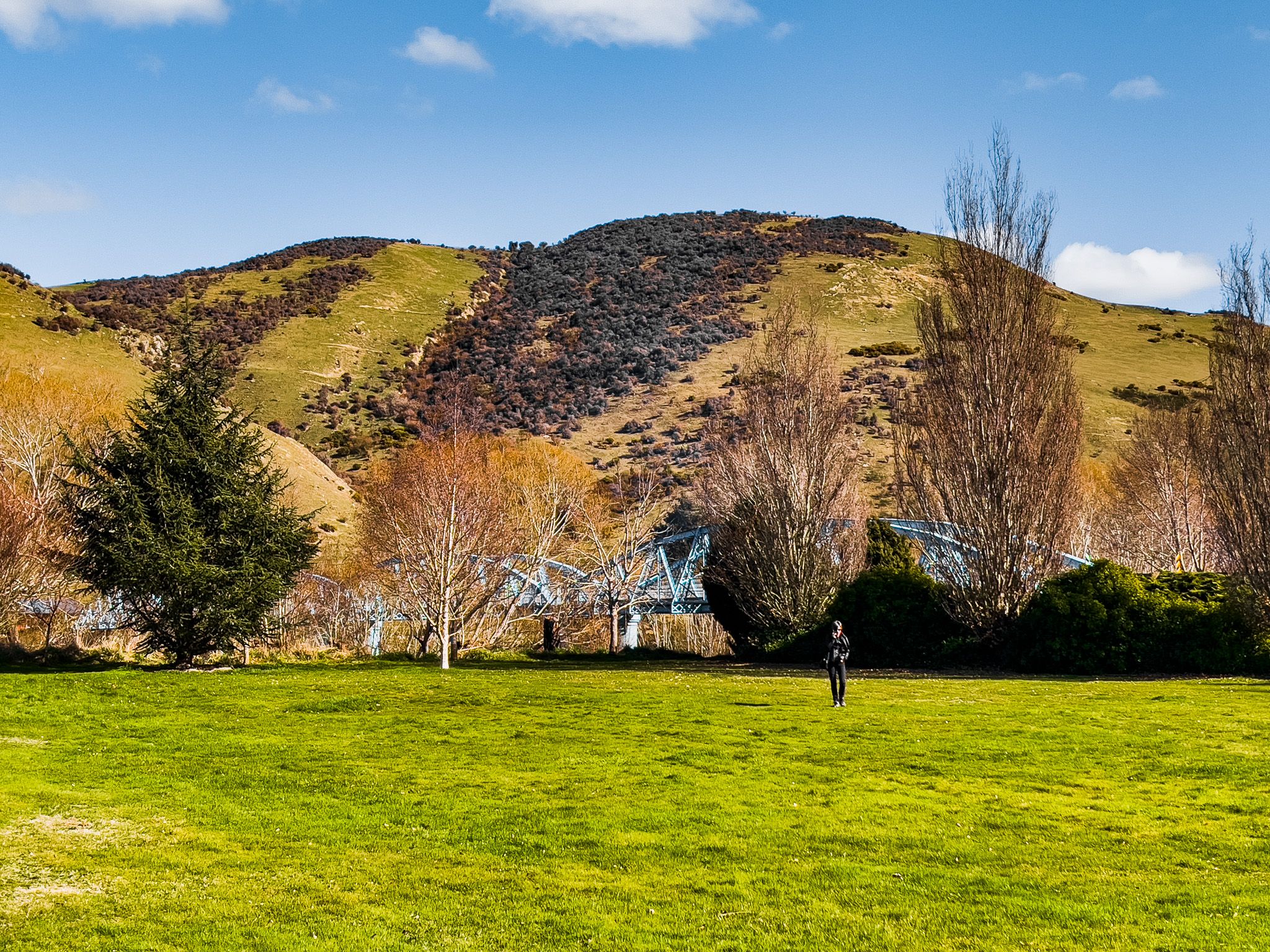
Millers Flat lies along the Clutha / Mata-au, 17 km south of Roxburgh and linked to State Highway 8 by a distinctive blue steel truss bridge. It's a peaceful riverside settlement with a striking location on the Clutha Gold Trail, and a gold-era story that is either moving or fake news, depending on your lens!
Pub, Bridge, River and Trail
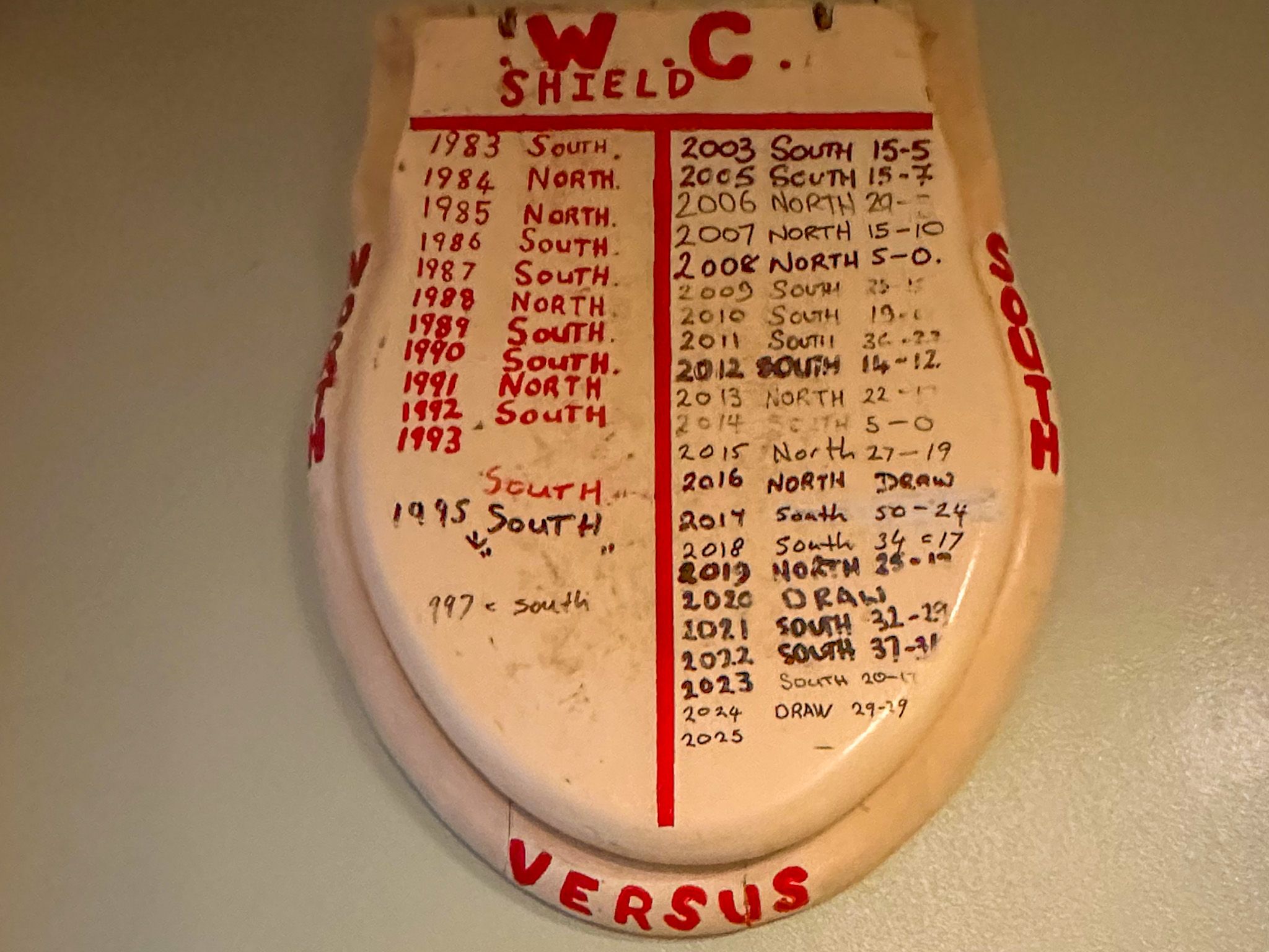
On the west side of the Clutha is a historic pub. Head inside for a break and to check out the historic photo collection. You may also notice a toilet seat cover that has been used for many years as the trophy for rugby matches between the North Teviot Valley and South Teviot Valley. If not here, it will be in a pub at the north end of the valley.
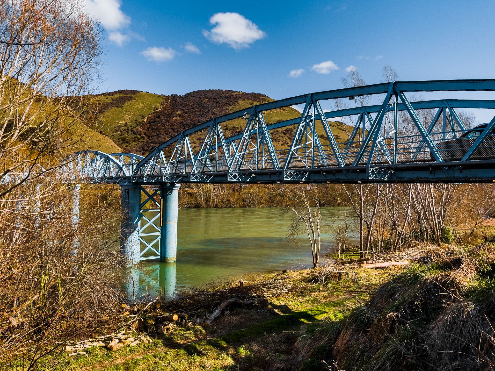
The four-span steel bridge at Millers Flat was completed in 1899, designed by engineer Robert Hay. Crossing the Clutha here gives a clear view of the river’s swift flow and wide channel, and the structure is notable for its historic and engineering value.
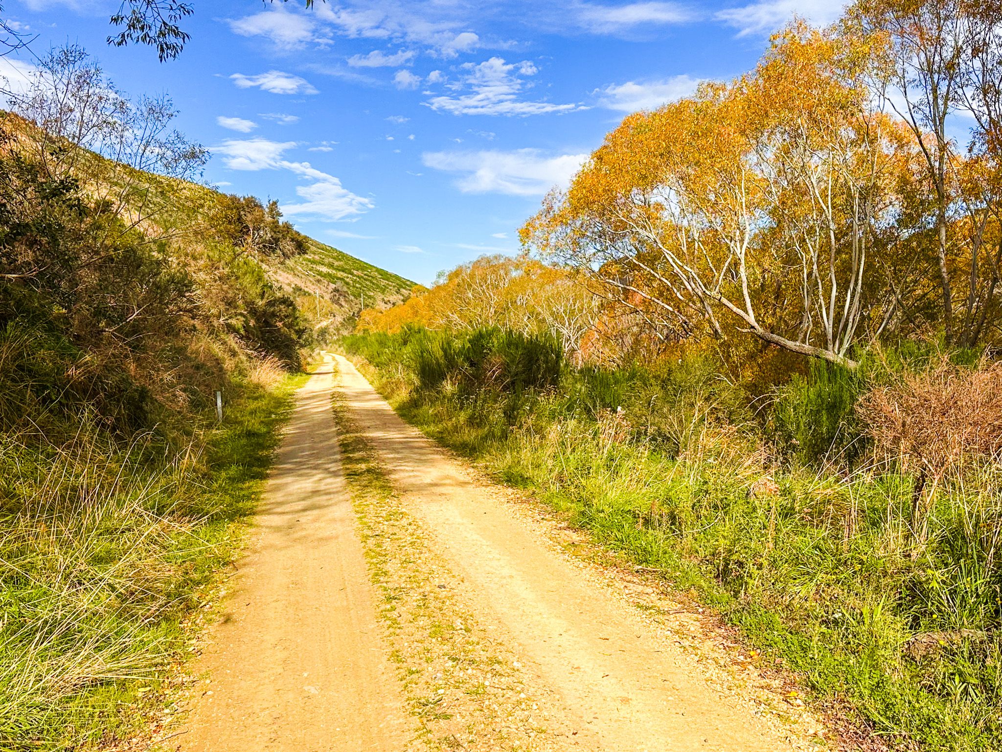
Millers Flat, on the east side of the Clutha, sits directly on the Clutha Gold Cycle Trail, making it a popular overnight or rest stop for cyclists. The trail crosses the bridge from the east bank and follows the old railway corridor past the settlement. A café, a campground, and a small store cater to riders and road-trippers alike.
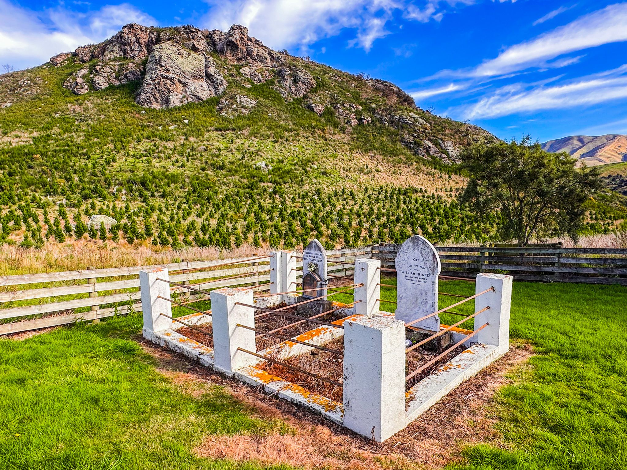
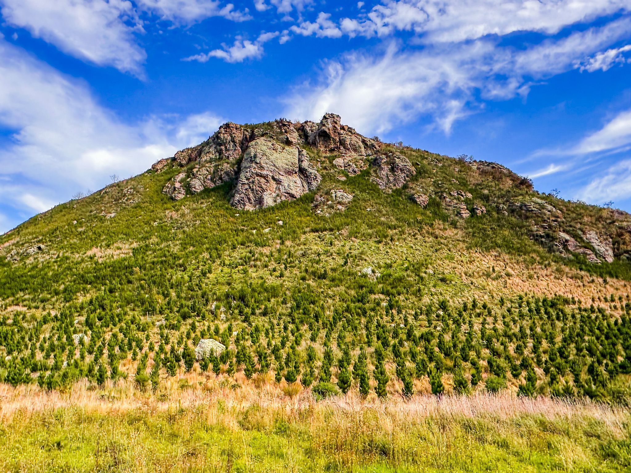
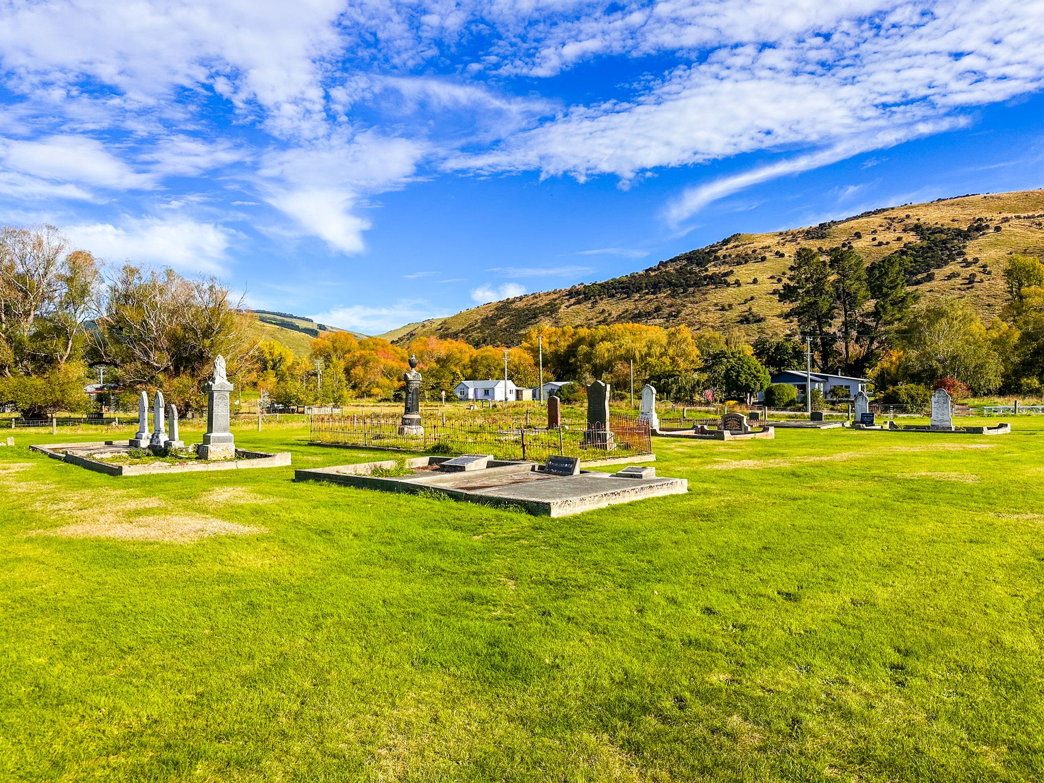
The Lonely Graves
A short drive or ride downstream brings you to one of Central Otago’s most unusual gold-era sites: the Lonely Graves at Horseshoe Bend. In 1865, the body of an unknown man was found near the Clutha. Local miner William Rigney marked the grave with a simple wooden sign: “Somebody’s Darling Lies Buried Here.” Years later, a marble headstone replaced the original.
Oddly, Rigby was described in a 1901 local newspaper article as having discovered and buried the body, which was not true - he had added the cross and words later. Moreover, the unknown somebody was probably Charles Alms, who had been lost in the river, as established by an inquest at the time. Regardless, the story stuck, and when Rigney died in 1912, he was buried alongside the man he had honoured.
The site is now a historic reserve, and interpretive signs tell the story. The graves sit above Horseshoe Bend, back from the river.
Rail and Orchard History
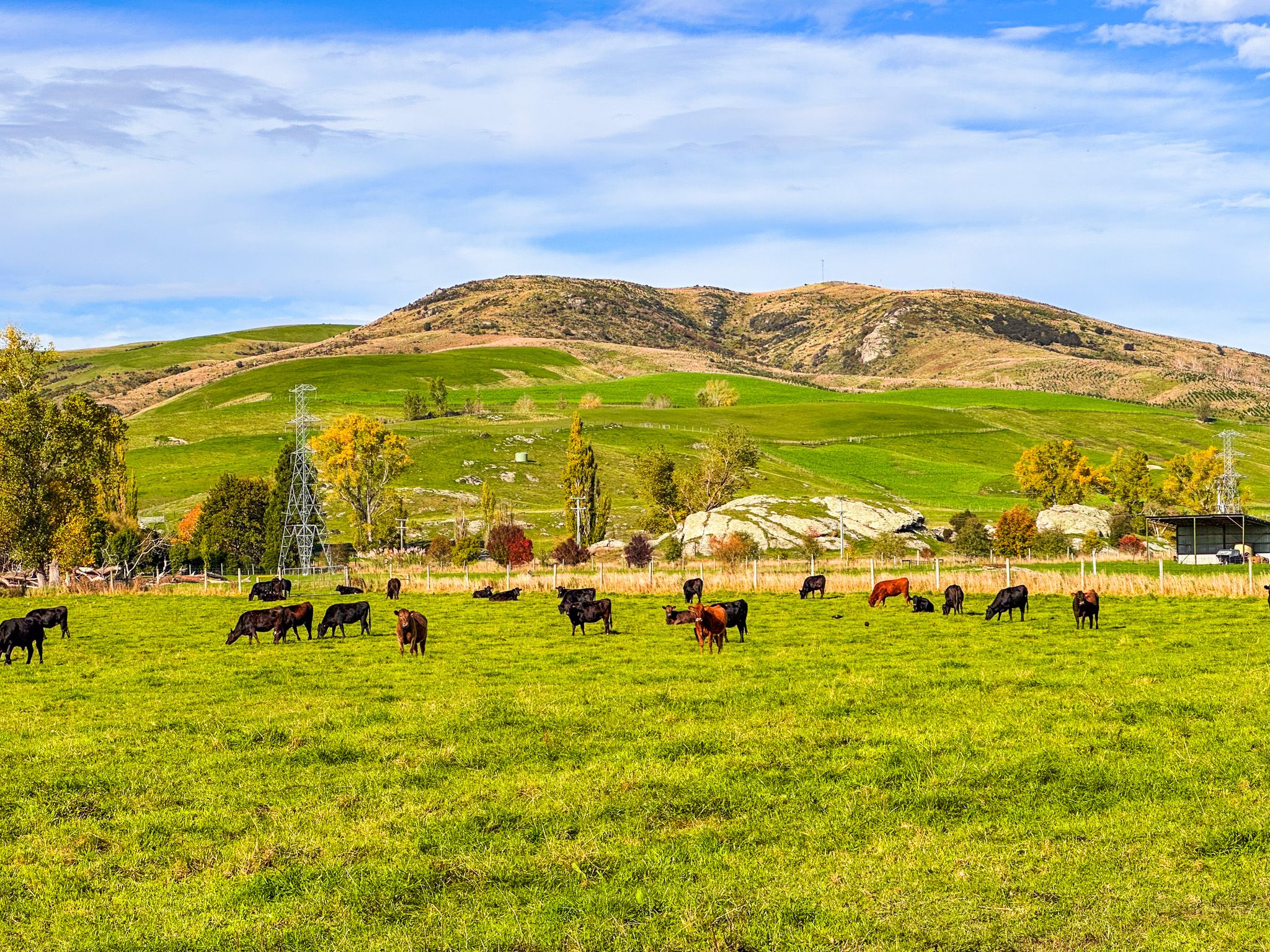
Millers Flat became a railway stop in 1925 when the Roxburgh Branch line was extended south from Beaumont. Though the railway closed in 1968, its embankments and platform remnants are still visible, especially along the cycle trail. Like nearby Roxburgh, Millers Flat supported early orchard development. Though smaller in scale, the pattern of fruit-growing continues today.
Māori Presence and Artefacts
The wider Clutha Valley, including the Millers Flat area, contains archaeological evidence of early Māori. Artefacts from the moa-hunter era (pre-1600) have been found along the valley floor, and the Clutha River was used as a seasonal travel route by Ngāi Tahu. Nor far from Millers Flat is Oven Hill, named for the large number of moa ovens and bones that were uncovered there when Europeans arrived.
How to Get There
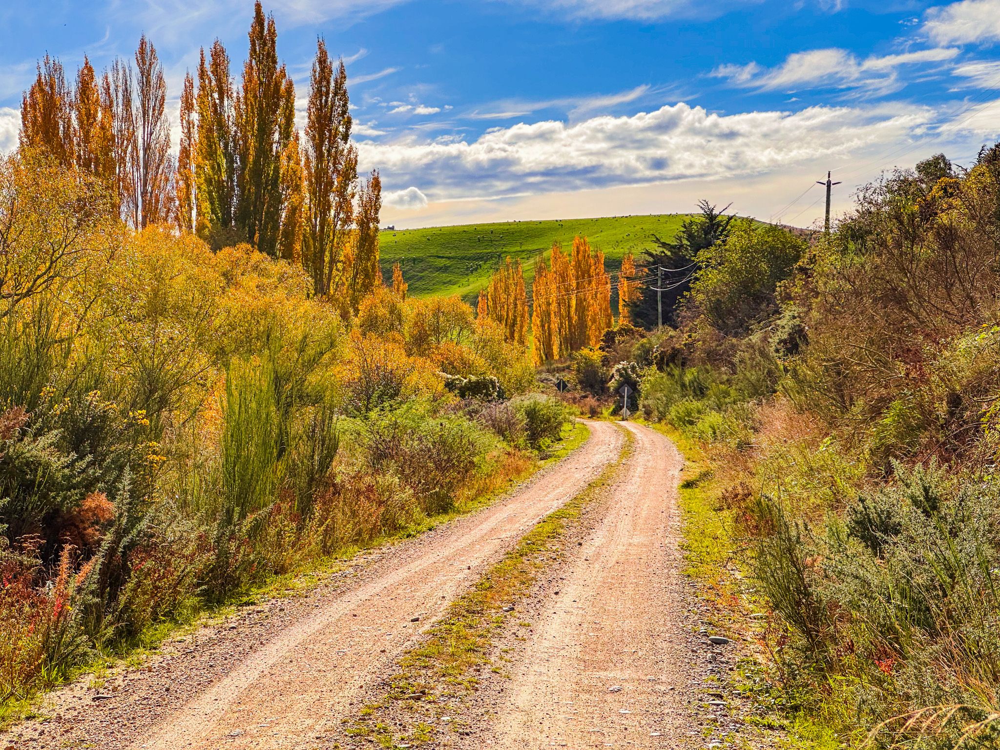
Millers Flat is 13 km north of Beaumont and 17 km south of Roxburgh. From State Highway 8, turn off at either bridge approach depending on your direction. There is parking near the bridge, the shop, and the trail rest areas. The Lonely Graves is a few minutes' drive south of the town on Craig Flat Road, on the east side of the Clutha. The last part of the road is gravel and relatively narrow. Watch out for cyclists.
Nearby places to visit include Roxburgh Dam and Horseshoe Bend Bridge, a bit further north of Lonely Graves on the cycle trail.