Roxburgh: Orchard Town by a Gorge
Roxburgh is a riverside town in the Teviot Valley at the southern end of the Roxburgh Gorge in Central Otago, known for its historic buildings, heritage orchards, and dramatic setting along the Clutha / Mata-au. Just over an hour’s drive from Alexandra via State Highway 8, it’s a key stop on the Clutha Gold Trail and a centre for stone fruit and seasonal colour.
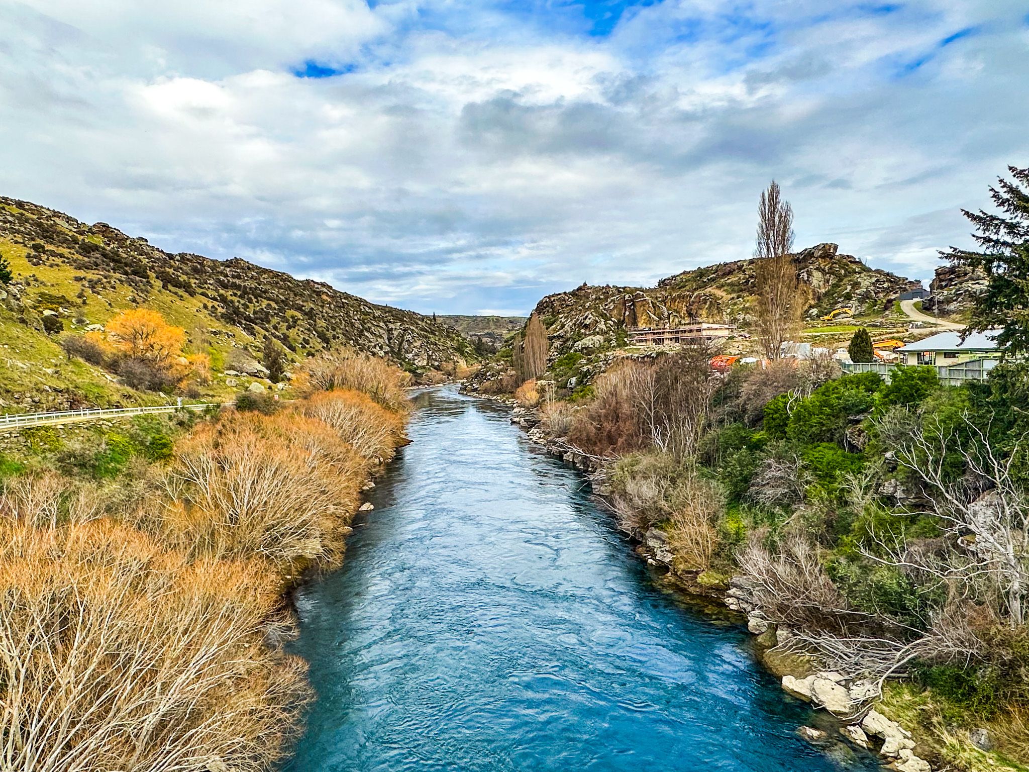
River, Gorge, and a Bridge
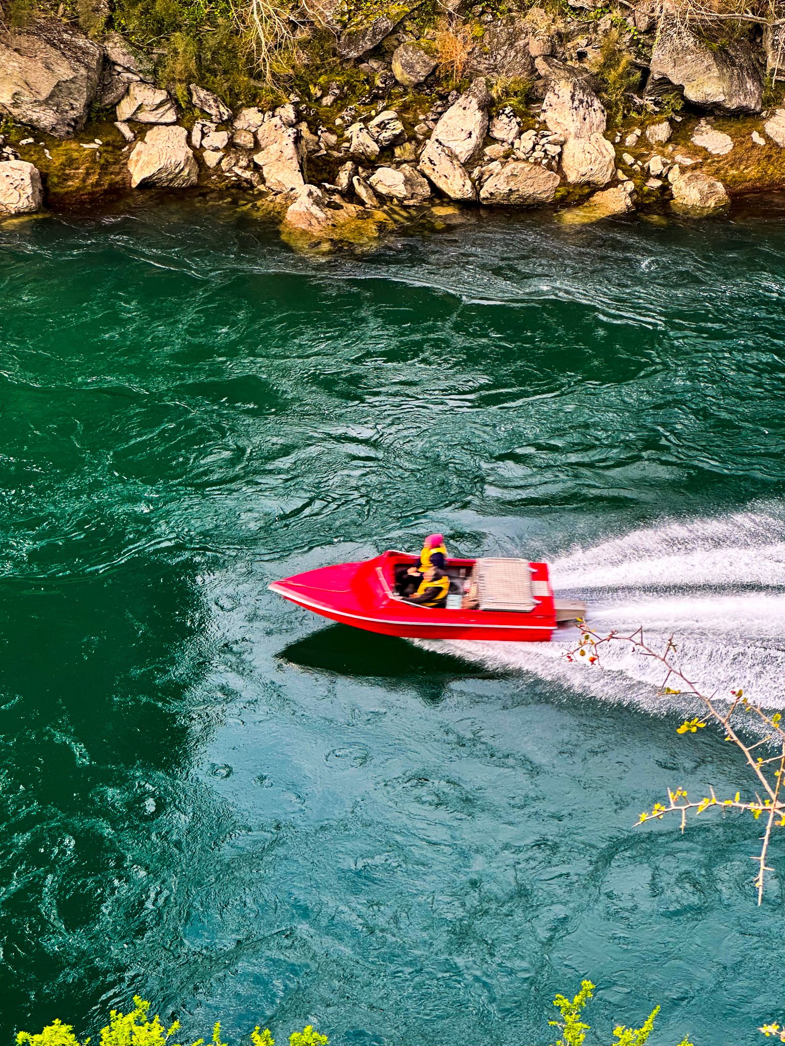
Here, the Clutha narrows into the Roxburgh Gorge, where steep schist cliffs and winding bends frame the water for about 1 km. To the north, between the Roxburgh Dam and the town, is an area of river flats and terraces, largely planted in stonefruit orchards. After that is the dam, one of the country’s earliest hydro schemes.
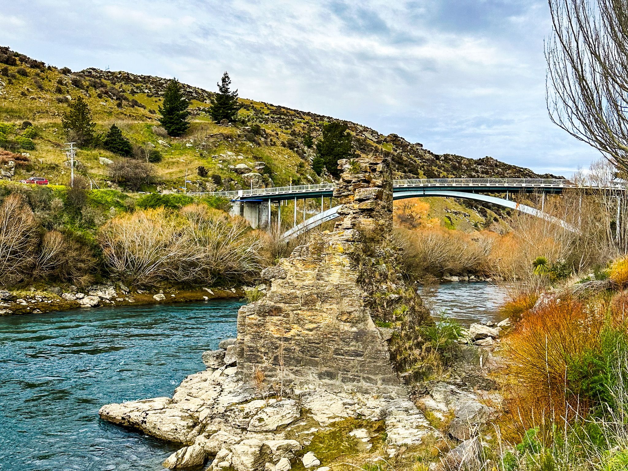
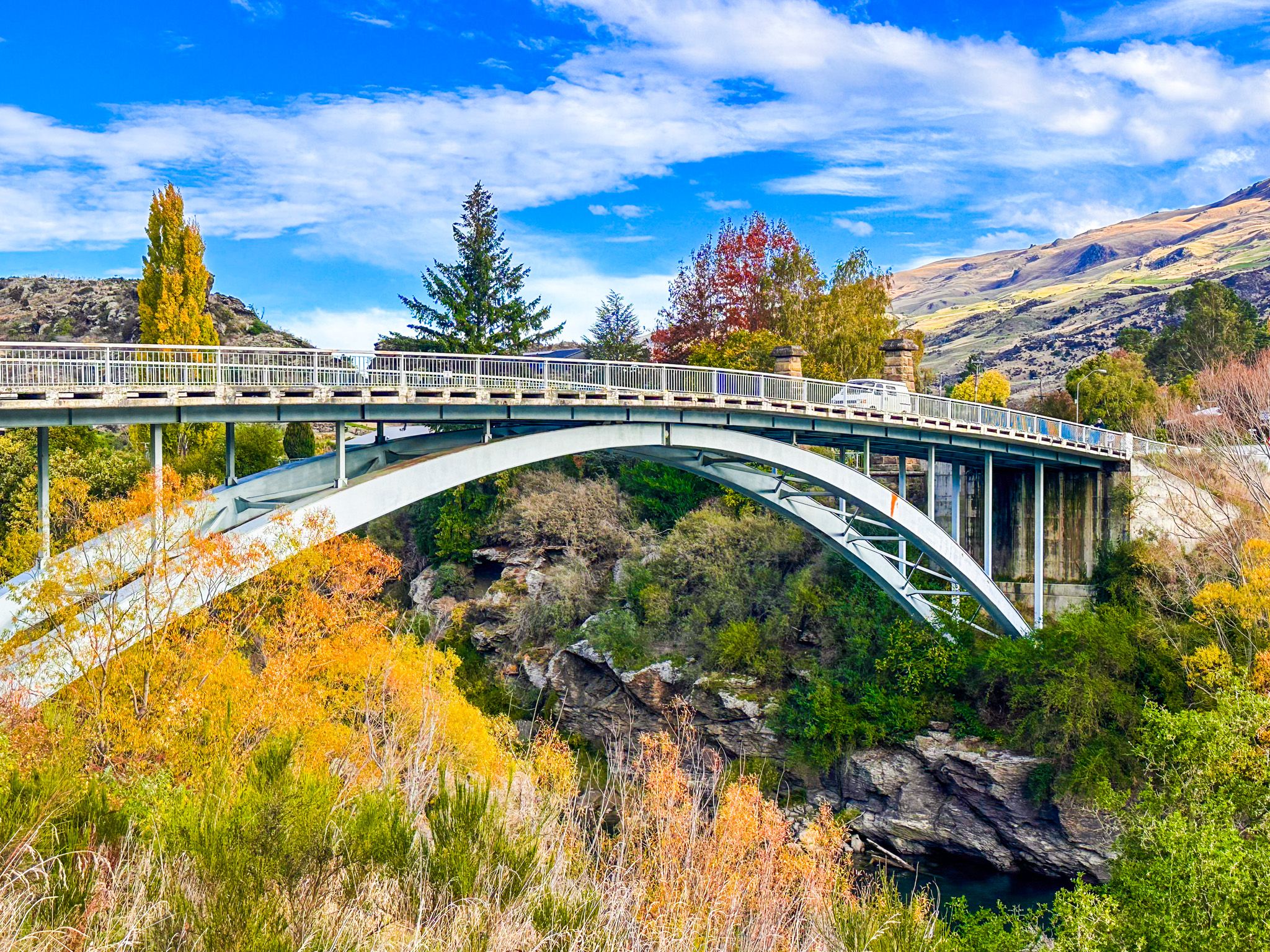
The Roxburgh road bridge is high above the river. You can safely walk or cycle across the bridge, taking in superb views of the gorge and river. The remnants of the original Roxburgh bridges, a stone pier from 1875 and the towers of the 1887 suspension bridge are examples of the early engineering feats that helped shape Central Otago.
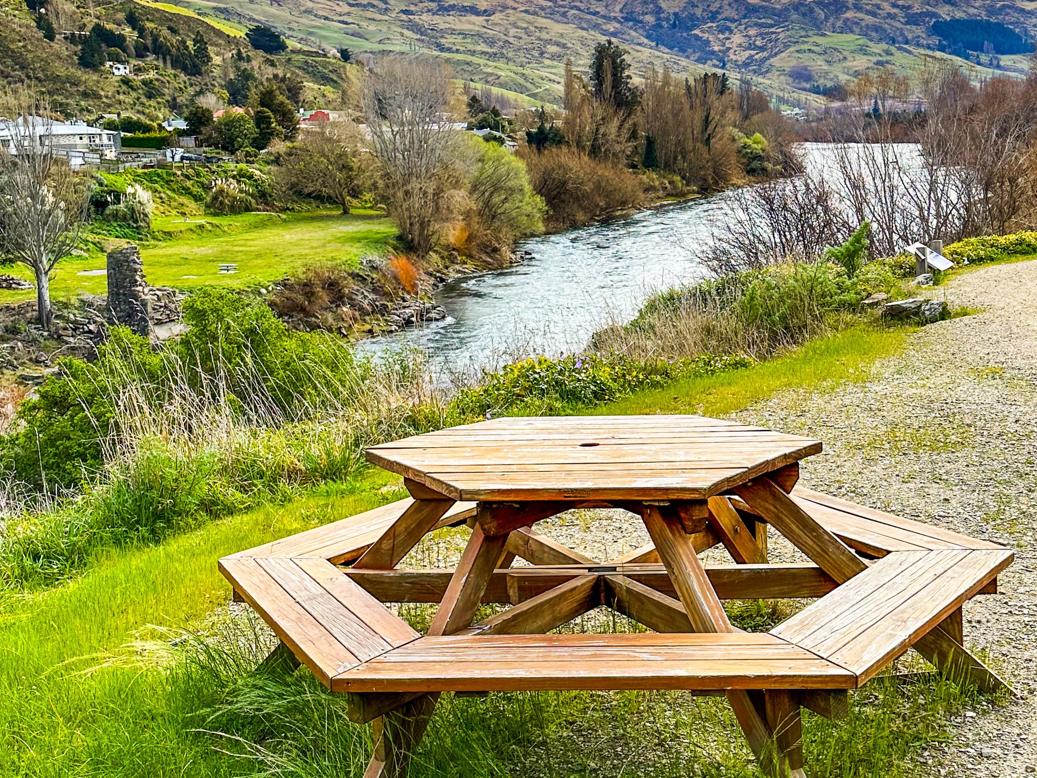
Before any bridge existed, locals crossed the powerful Clutha River by punt, prompting calls for a more permanent solution by 1869. The first bridge, completed in 1875, was a pioneering laminated arch design by provincial engineer David Simpson, but it was destroyed by a severe flood in September 1878. You can see the remains of a pier on the west side, next to a public reserve. A new suspension bridge, completed in 1887, spanned over 80 metres and served the town for nearly 90 years before being replaced in 1974. On the west side, you can see two piers from the second bridge, plus a plaque noting the story of the bridges. On the east side, just north of the bridge, is a parking area high above the river.
Fruit Growing and the Teviot Valley
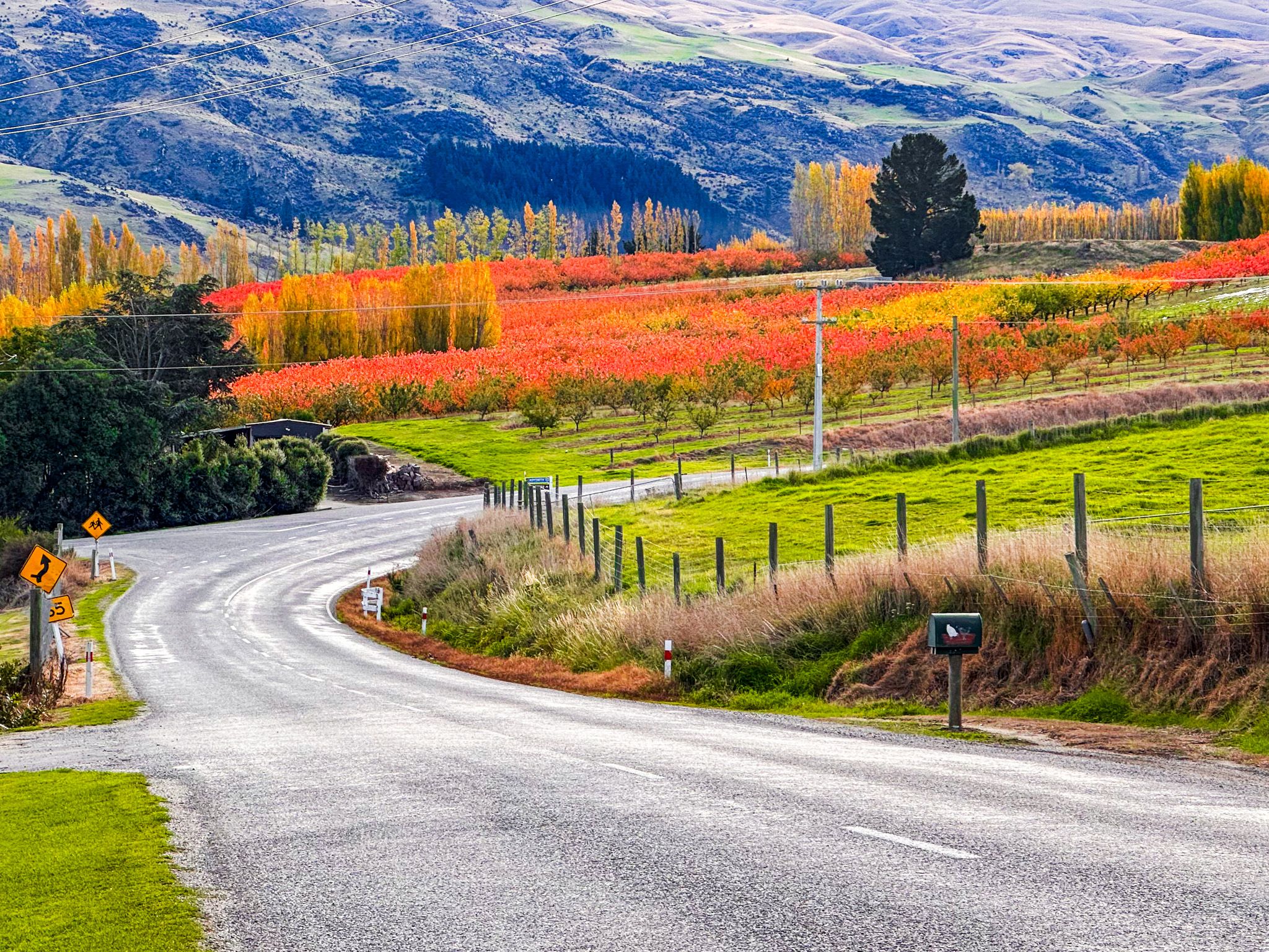
Roxburgh has been a centre of fruit production since the late 1800s, mainly focused on the flat part of the Teviot Valley around the river north of the town. The dry climate, hot summers and river irrigation support a long tradition of apple, pear, cherry, and apricot orchards. Many are still family-run and open for seasonal sales. Spring blossoms and late summer harvests give the town a rhythm tied closely to the land.
The Teviot Valley around Roxburgh also supports berry farms, honey producers, and niche crops. Old irrigation systems and stone-lined channels remain part of the landscape.
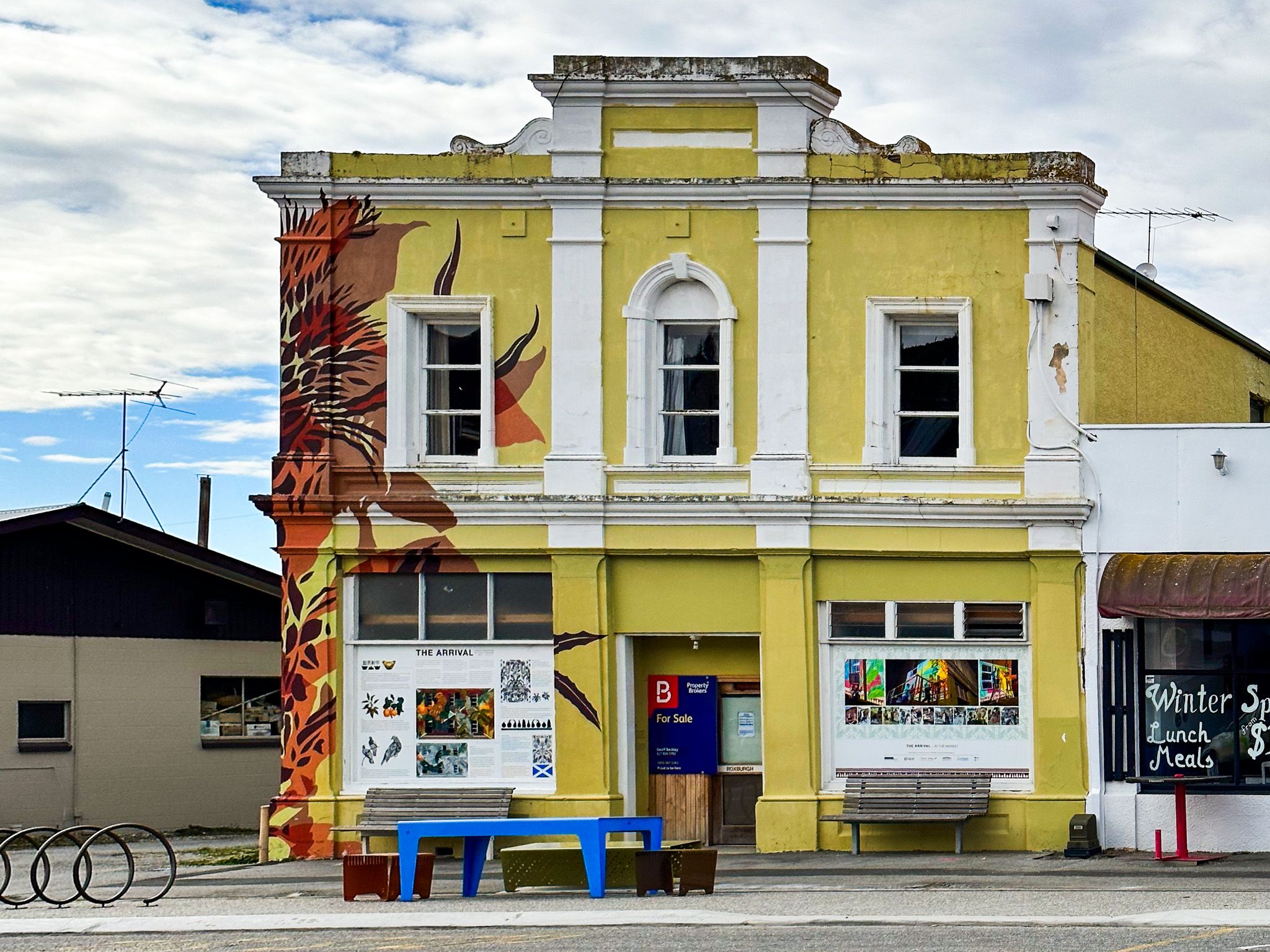
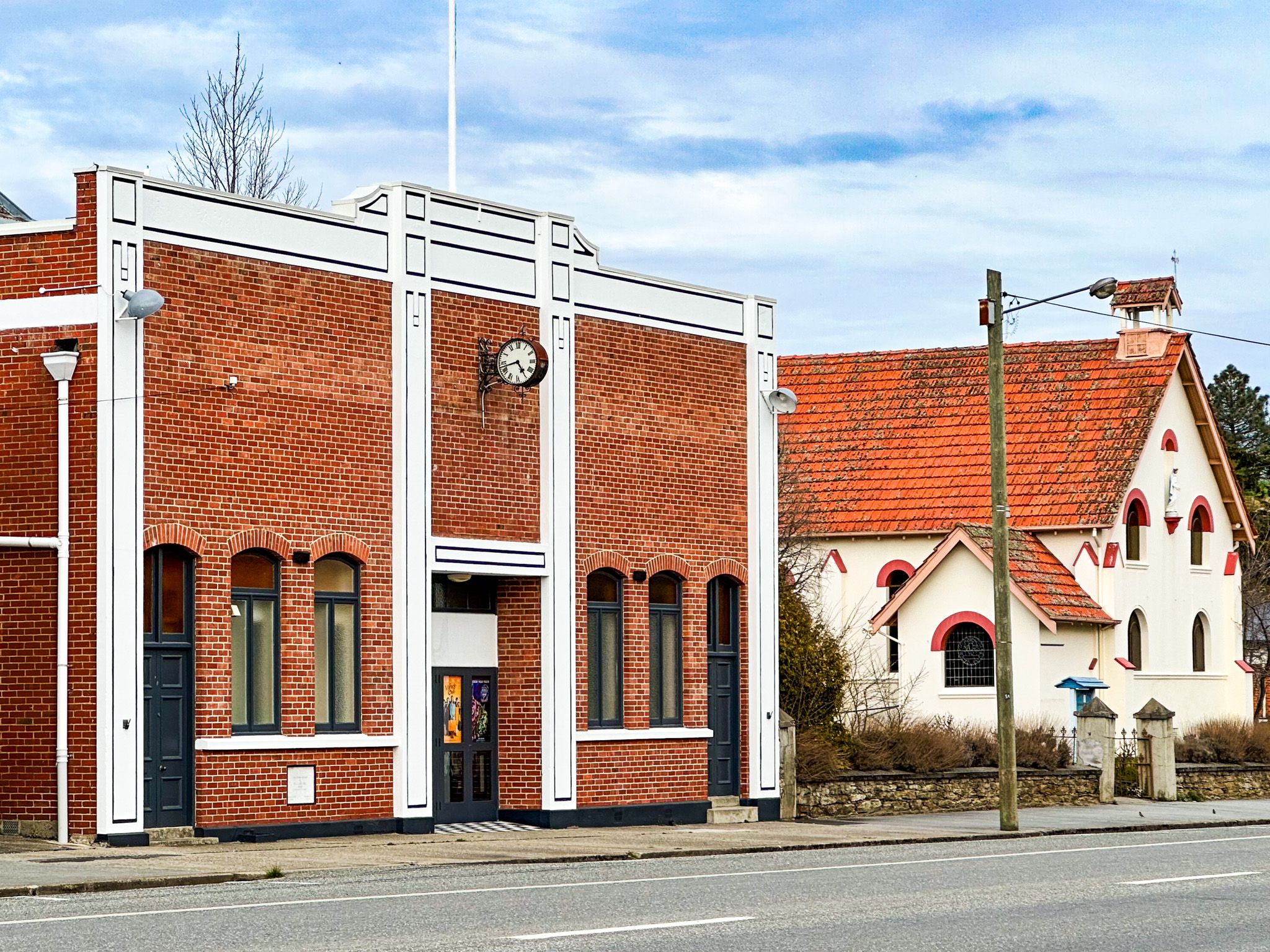
Gold-Era Remains and Historic Buildings
Roxburgh was the final stop on the Roxburgh Branch railway line, which operated from 1928 until its closure in 1968. The old railway yard included goods sheds, a water tank, a turntable, and engine facilities — some of which are still visible or repurposed.
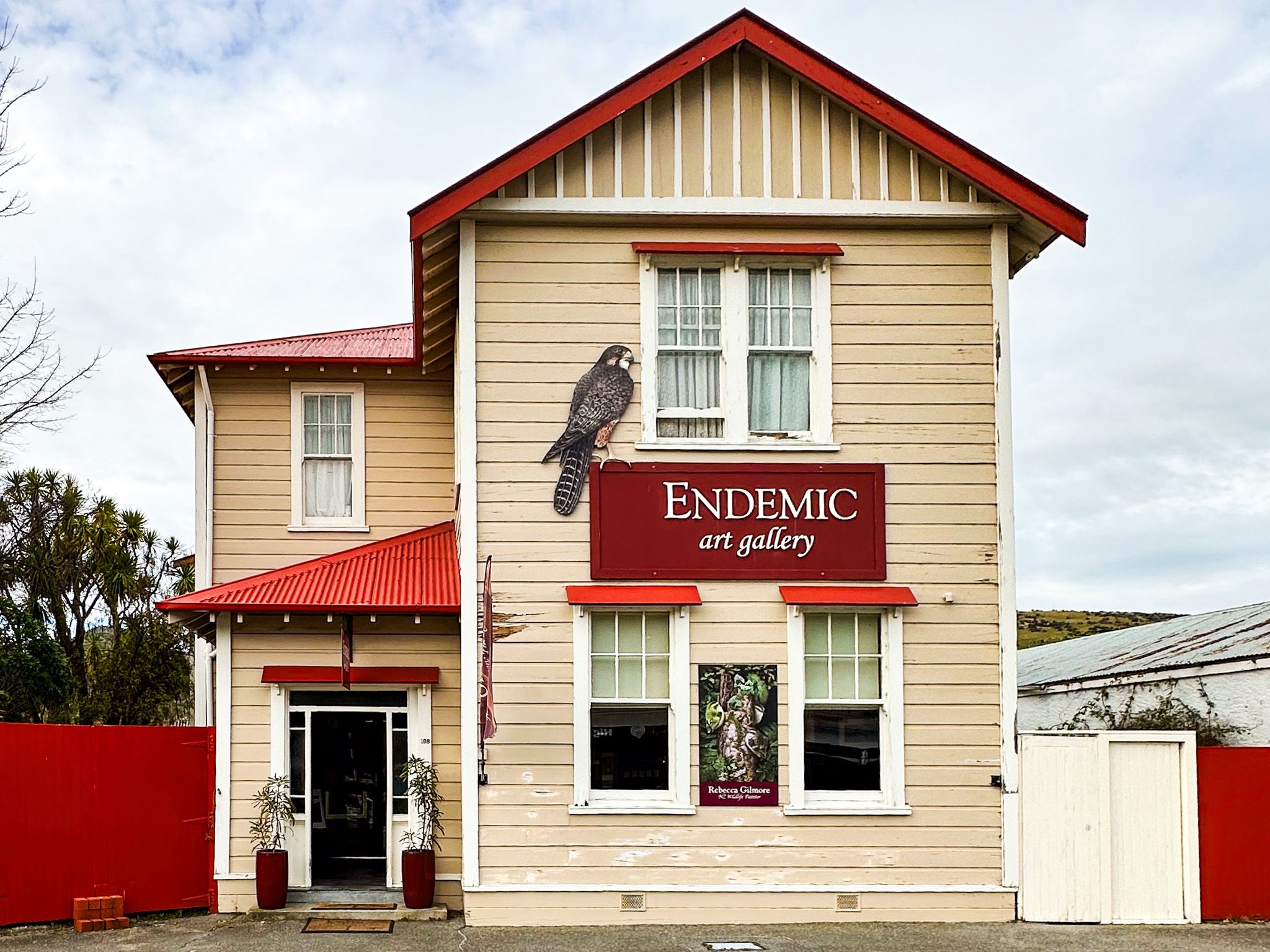
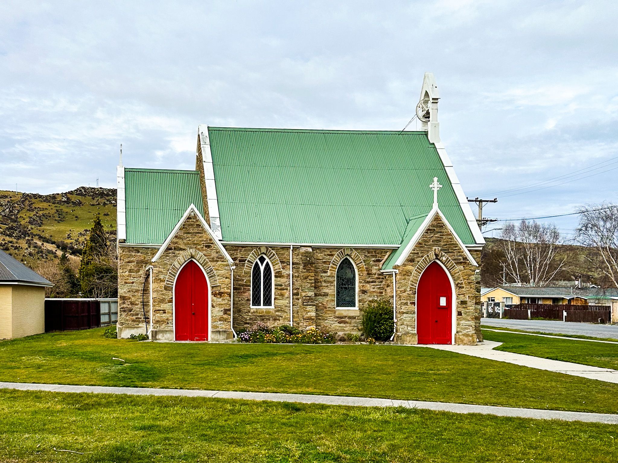
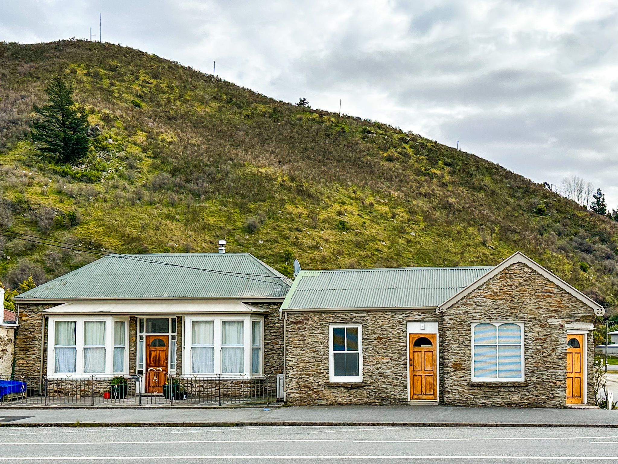
Heritage buildings in town include early shops, the historic post office building, and homes built with local schist. A short walk around the town centre reveals restored facades and plaques noting early businesses and hotels.
Māori Presence and River Life
The Clutha / Mata-au was a major travel route for Ngāi Tahu, used for seasonal movement and food collection, as well as access between inland basins. This included moa hunting during the moa era (pre-1600). Although traditional names for Roxburgh are not widely recorded, the surrounding river corridor was heavily used.
How to Get There
Roxburgh is on SH8, 35 km north of Millers Flat and 47 km south of Alexandra. The town has plenty of parking, a visitor centre, cafés, and public toilets at an attractive reserve at the south end of town.
Other nearby places to visit include the Roxburgh Gorge Trail, Mitchell’s Cottage, Obelisk / Kōpūwai Conservation Reserve and Beaumont. For more remote options, best suited for a 4WD vehicle, you can drive into the highlands east of Roxburgh to Lake Onslow. To the southwest, you can access the top of the Old Man Range and reach the Obelisk in the reserve.