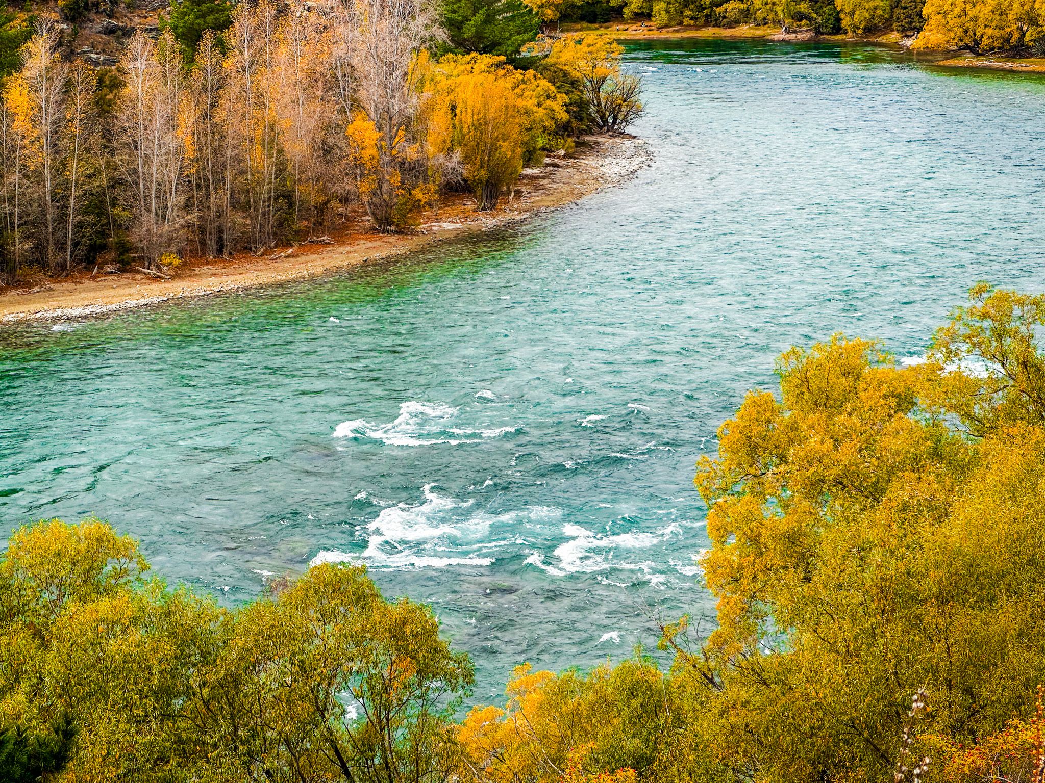
The Clutha at Its Most Spectacular
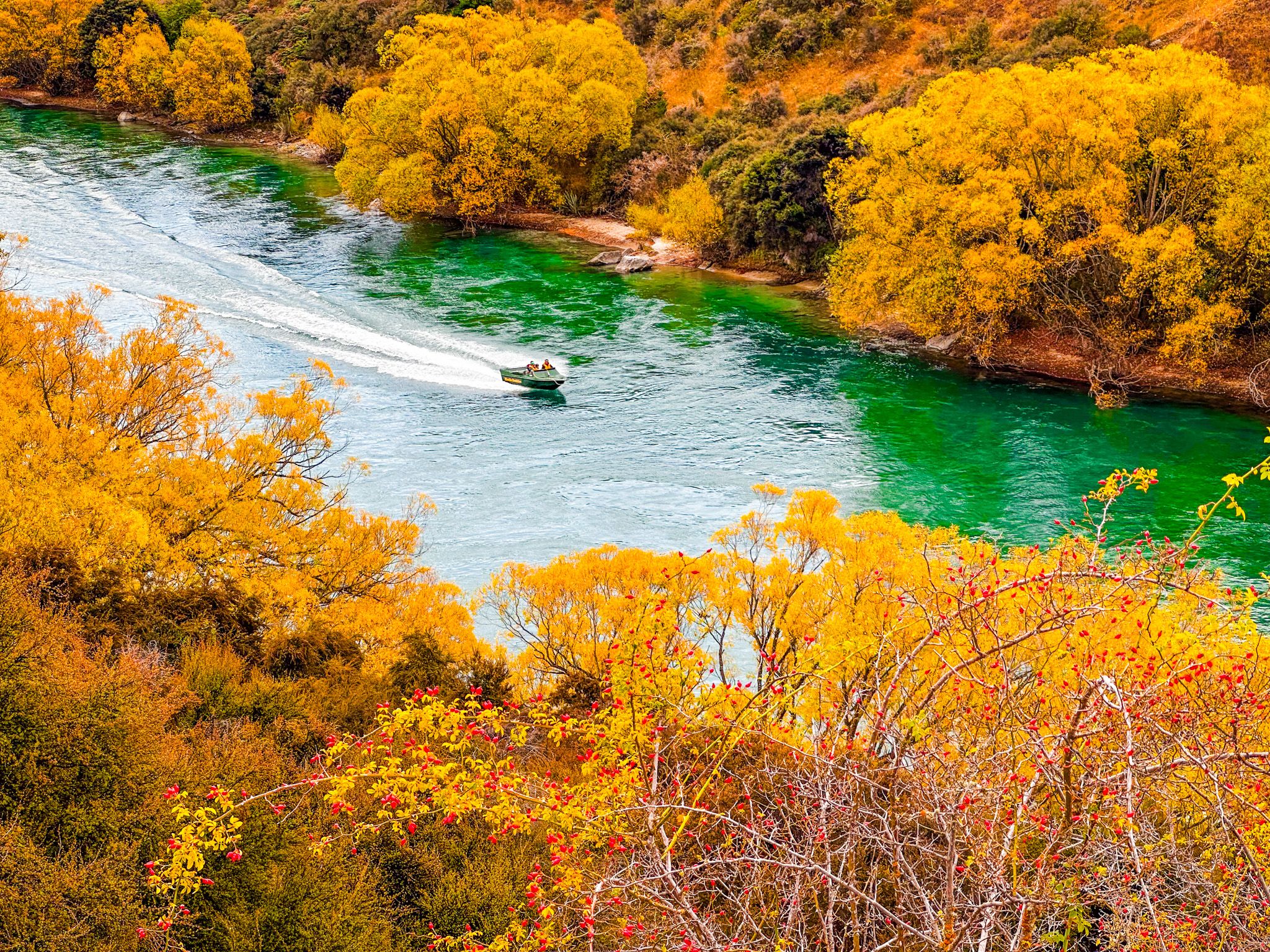
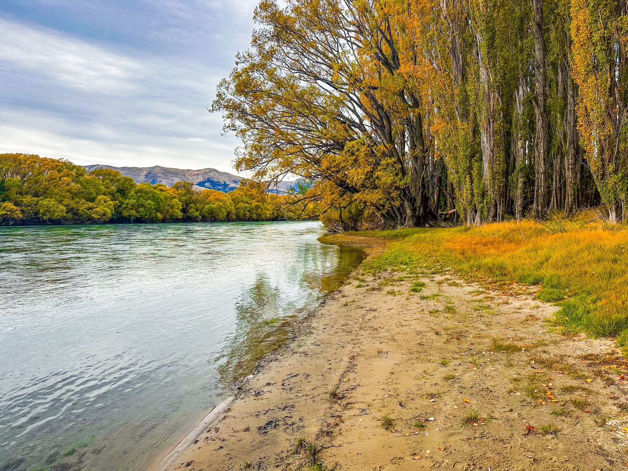
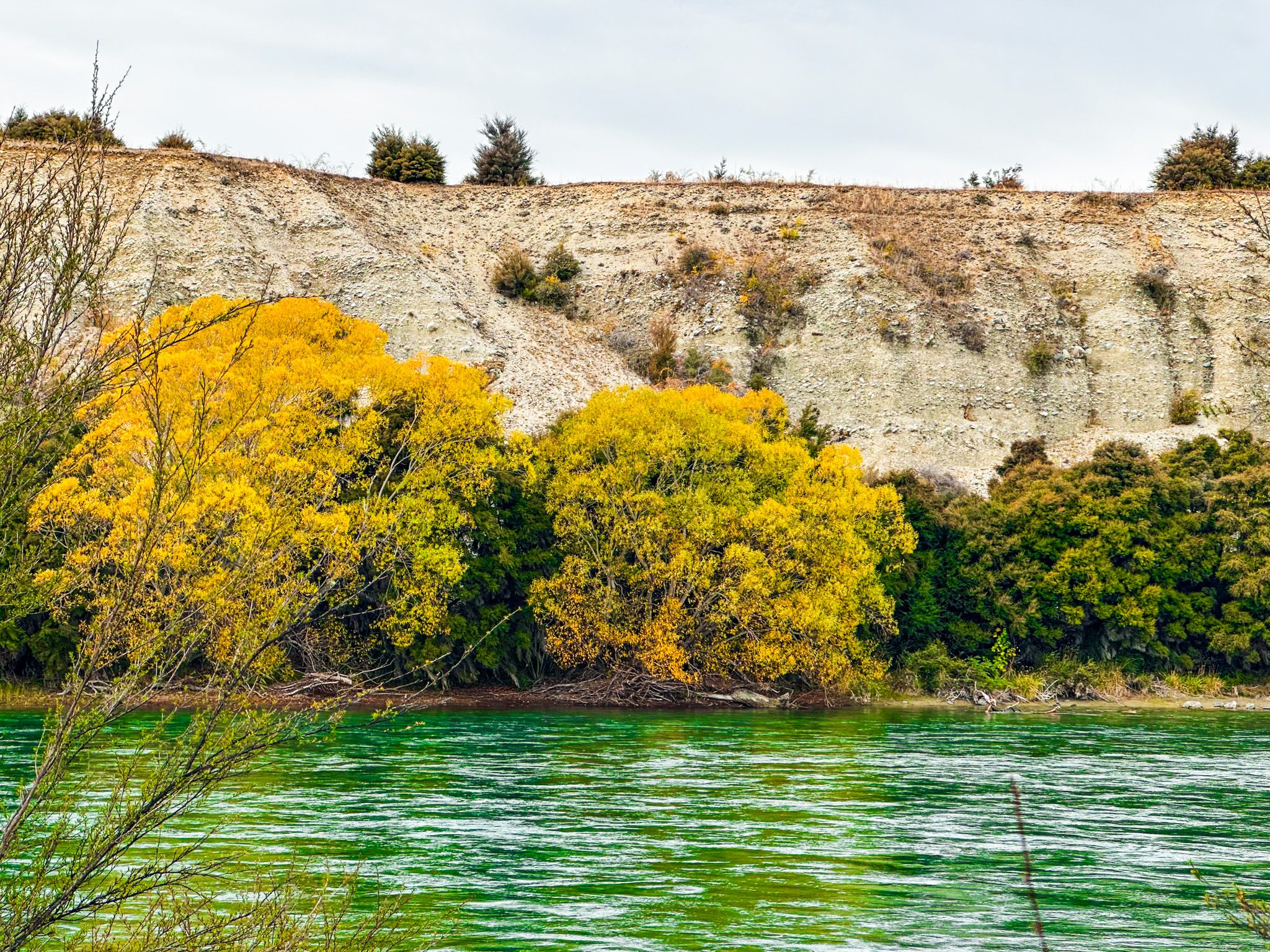
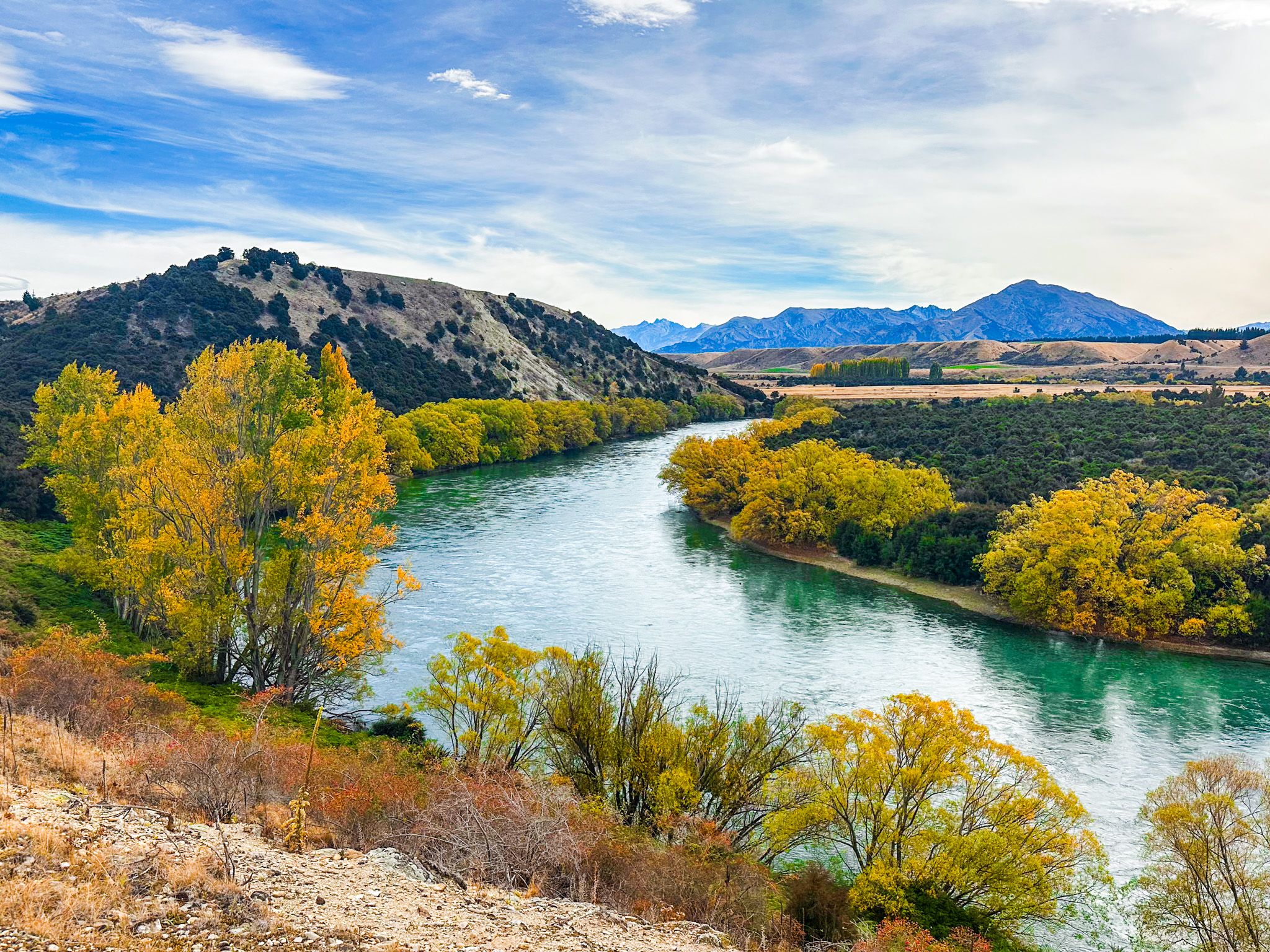
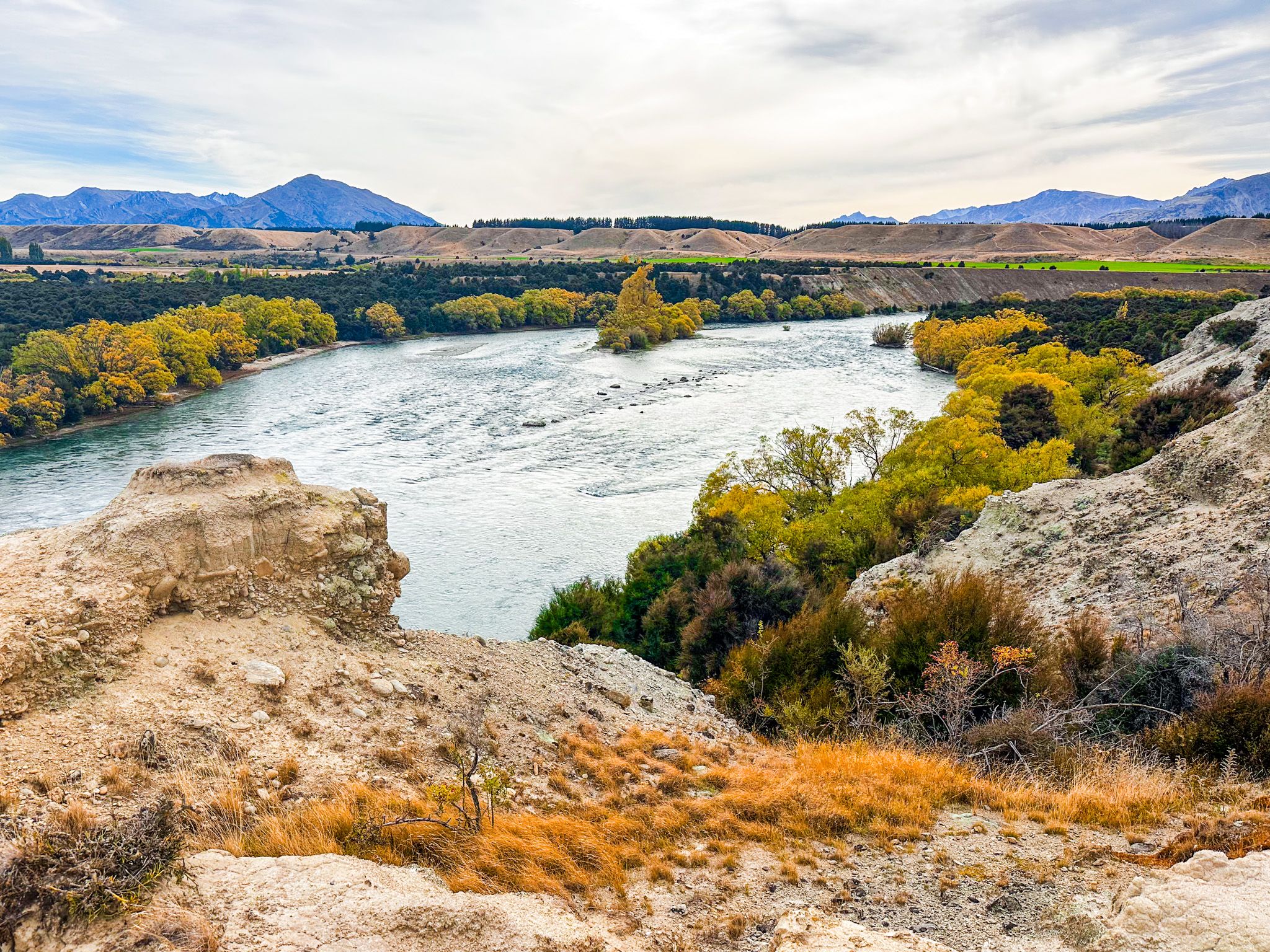
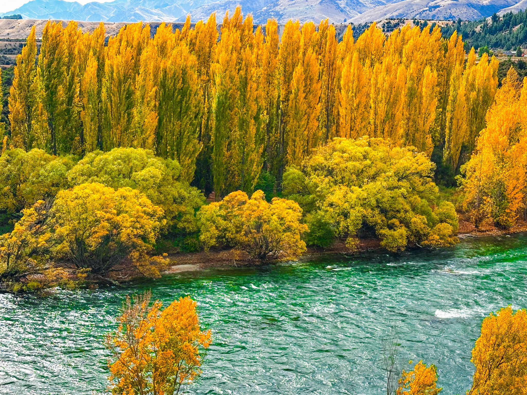
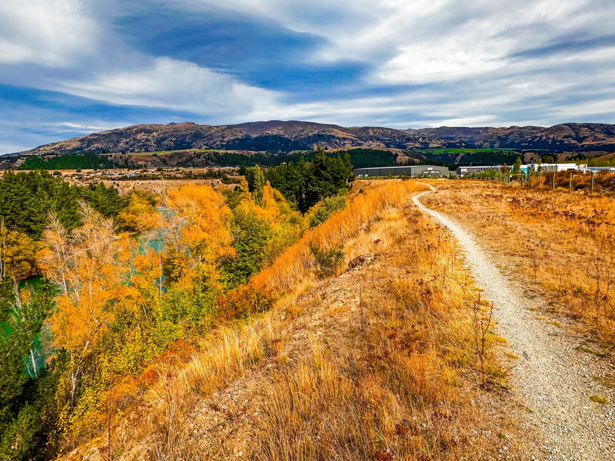
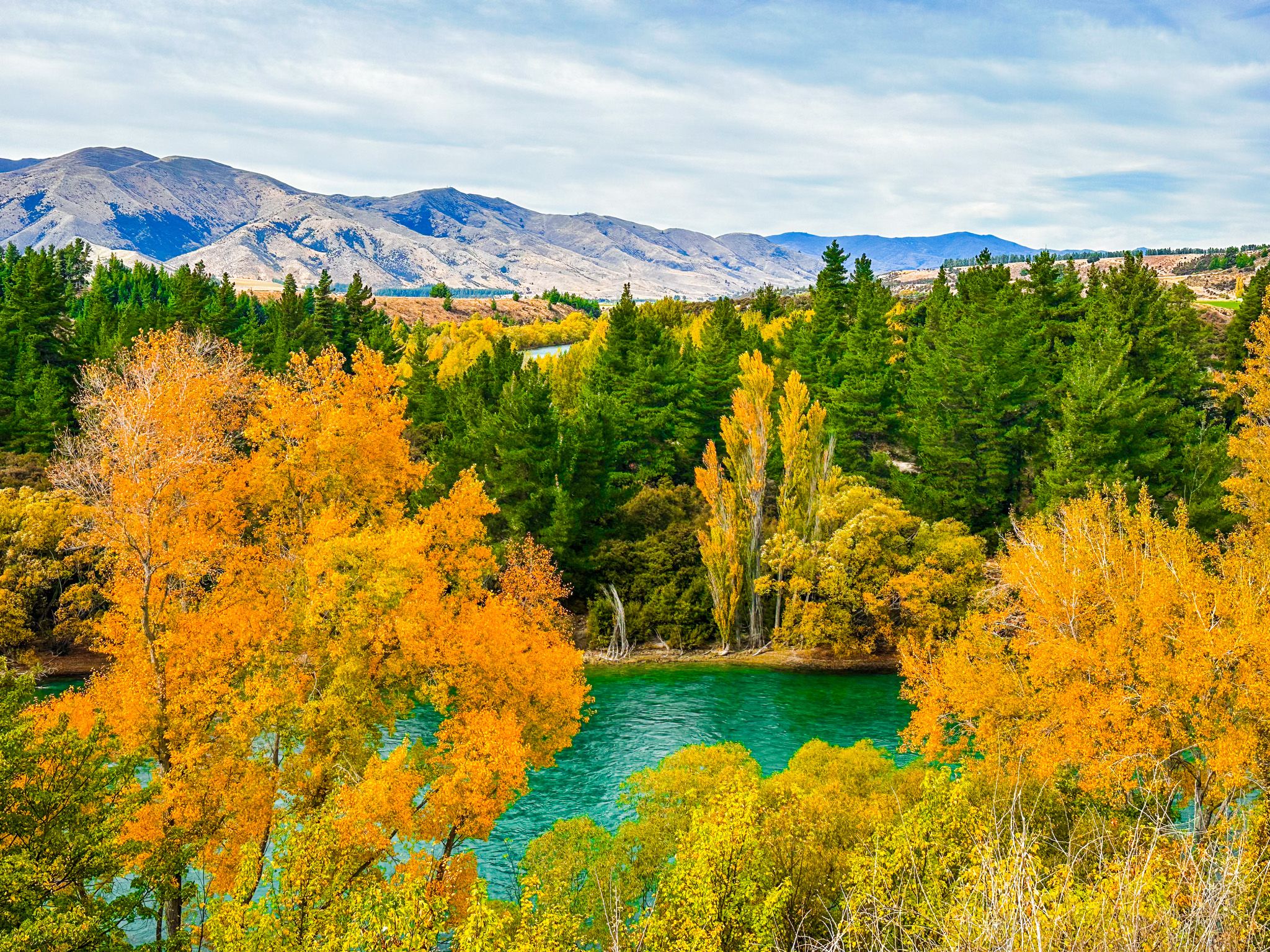
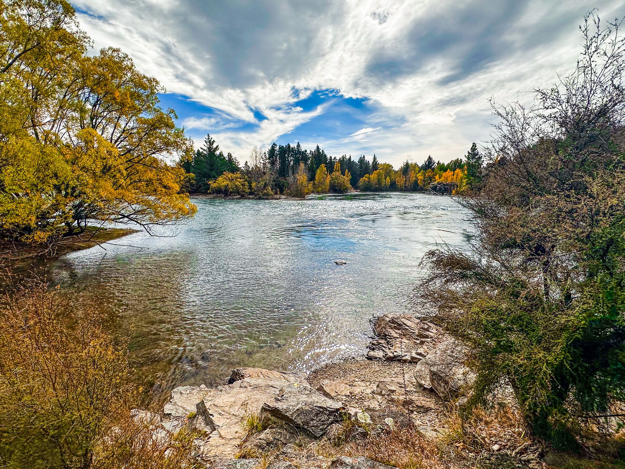
The Upper Clutha River Track follows the south bank of the Clutha River / Mata-Au between Albert Town and Luggate, managed by DOC and the Upper Clutha Tracks Trust. It is a shared walking and cycling track, with some undulation and occasional rough sections. The track runs above the river at clifftop height in several places with great views of the Clutha, New Zealand's largest river by volume. This upper section, glacier-cold, emerald-green, and fast-moving, is among the most beautiful stretches of river in the South Island. At one point in the late nineteenth century, 187 gold dredges were working this reach of the Clutha. Today, the signs of that industry are mostly absorbed back into the landscape.
The Track: Albert Town to Reko's Point
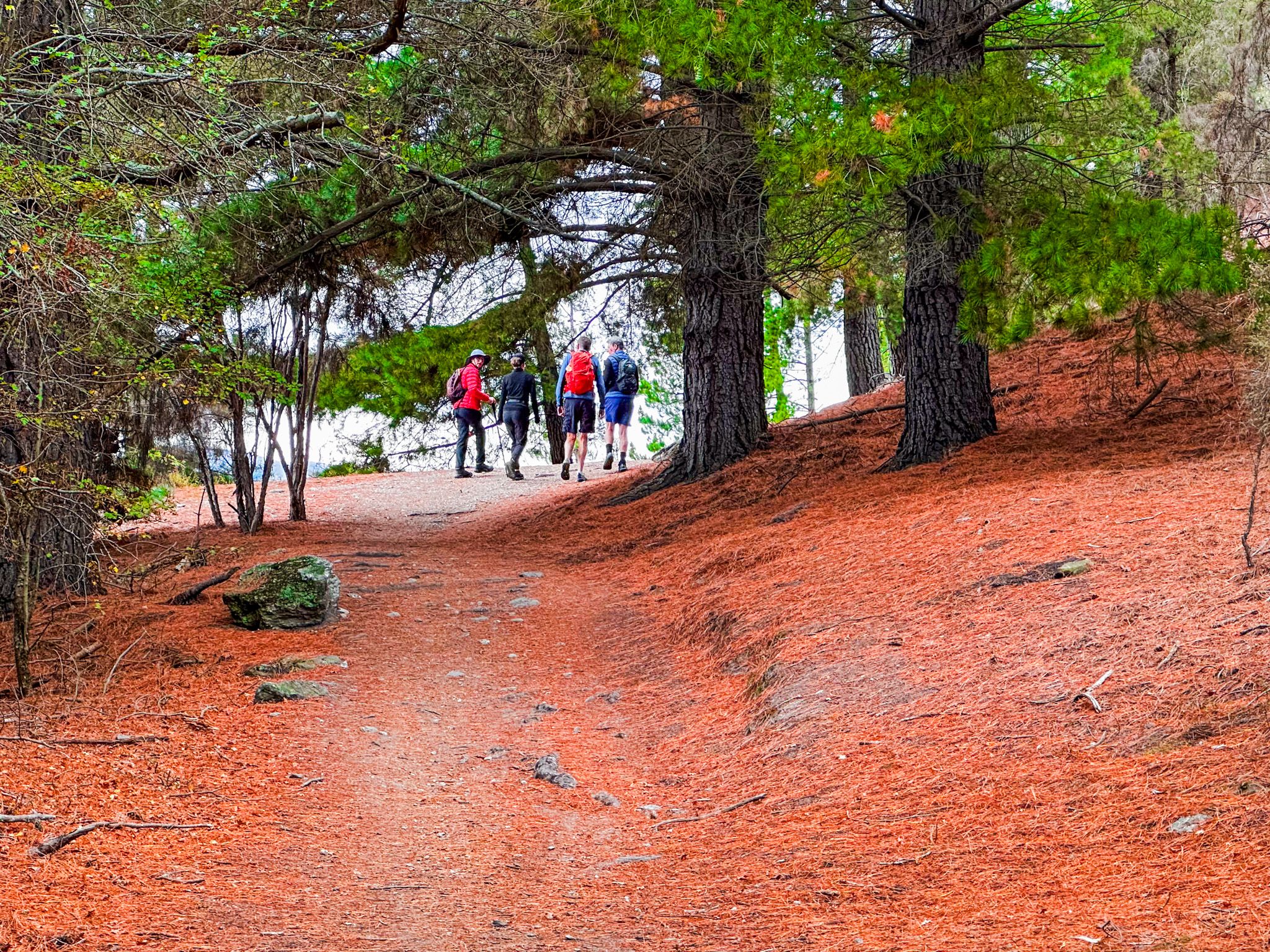
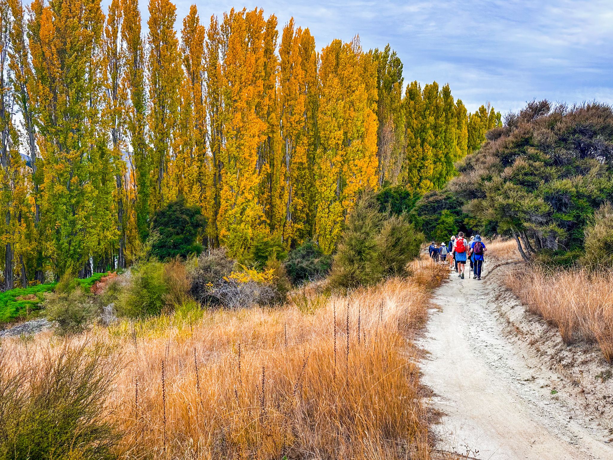
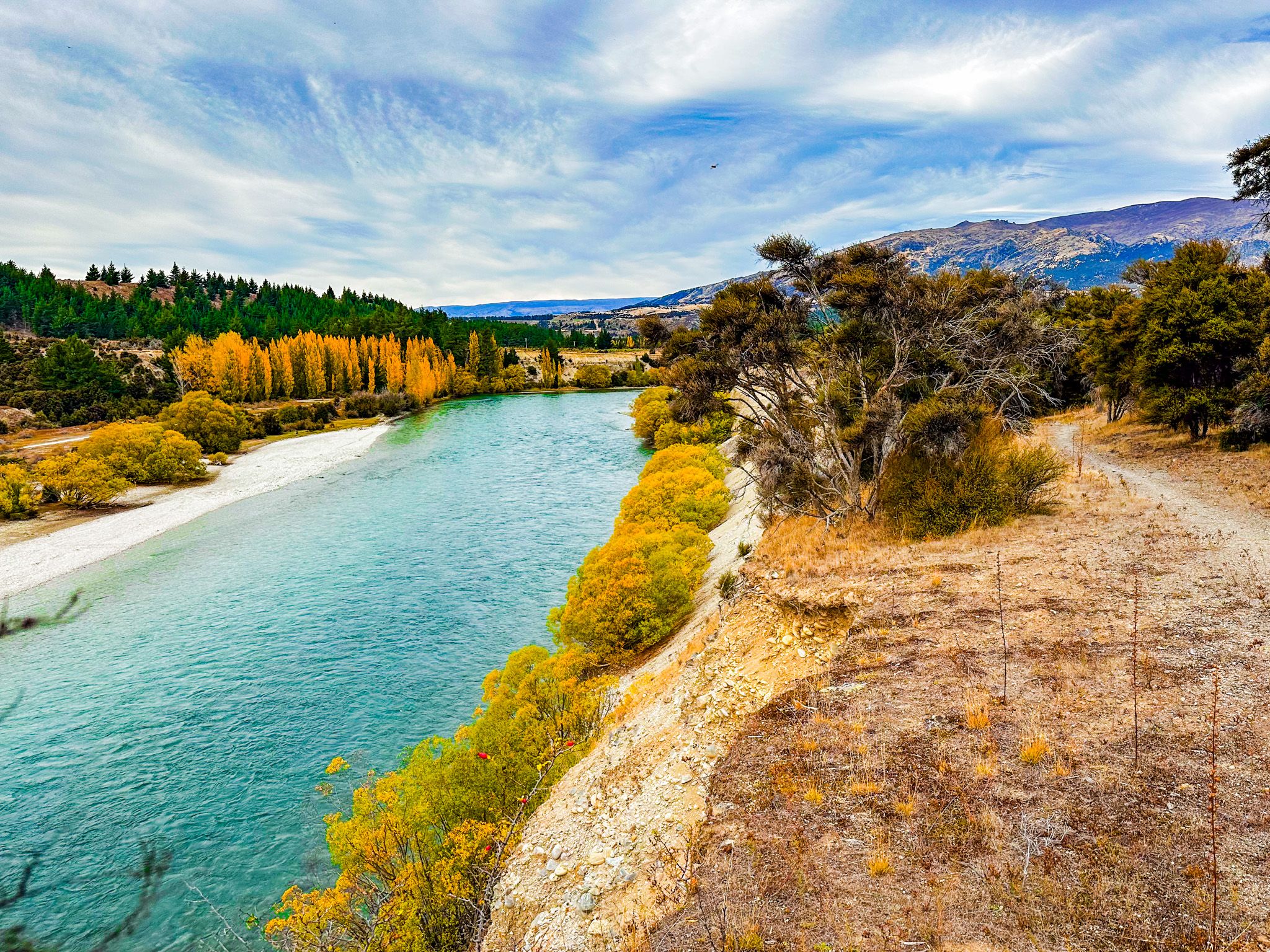
The track begins in Albert Town, east of the Albert Town bridge. A short walk takes you to Pawson's Crossing, a footbridge over the Cardrona River, and from there, the track heads east along the southern bank, alternating between open river terraces thick with mānuka and kānuka scrub and elevated sections above the river with extensive views.
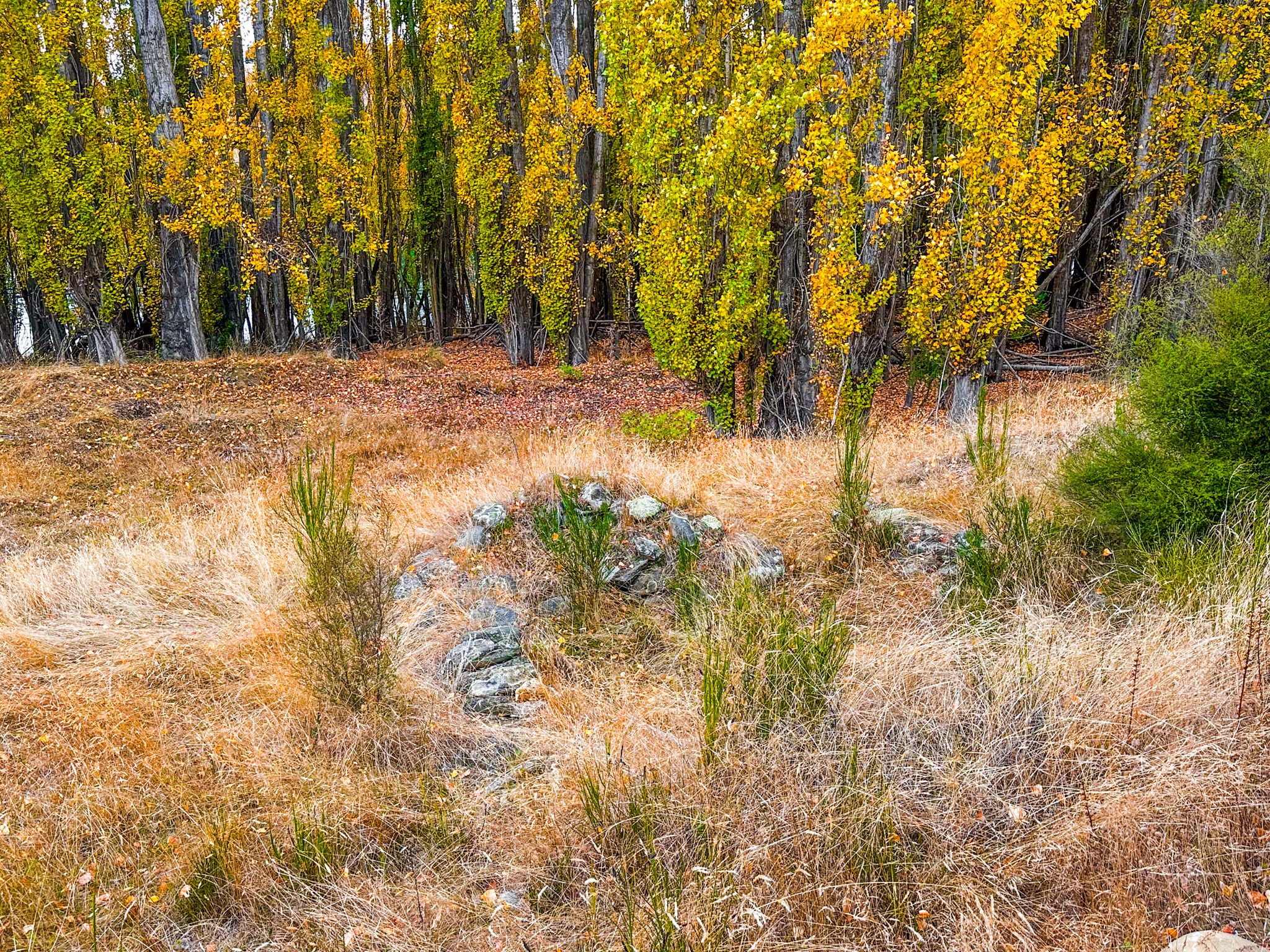
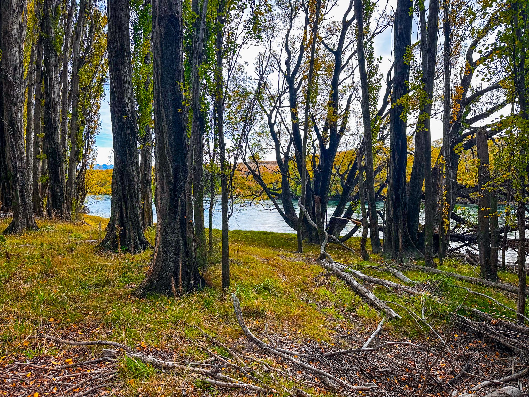
The first significant stop is Reko's Point Conservation Area, a DOC reserve on the outside of a long river bend known as the Snake. This was an active gold mining site from the 1860s through to the early twentieth century, and the remains of mining infrastructure, water races, diggings, and terrace workings are visible among the kānuka and native grass. The area is also a breeding sanctuary for fantail / pīwakawaka, which are abundant throughout this section of the track.
Clifftop Views and the Red Bridge
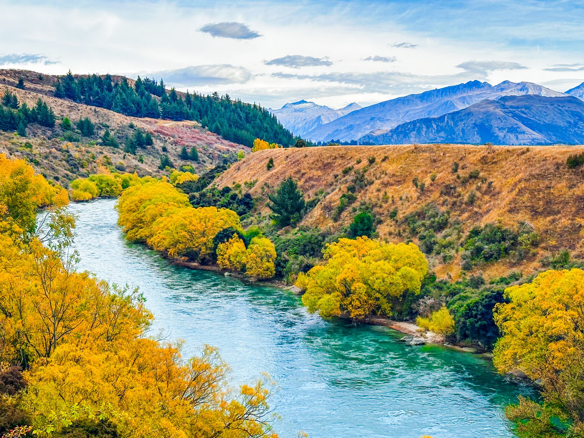
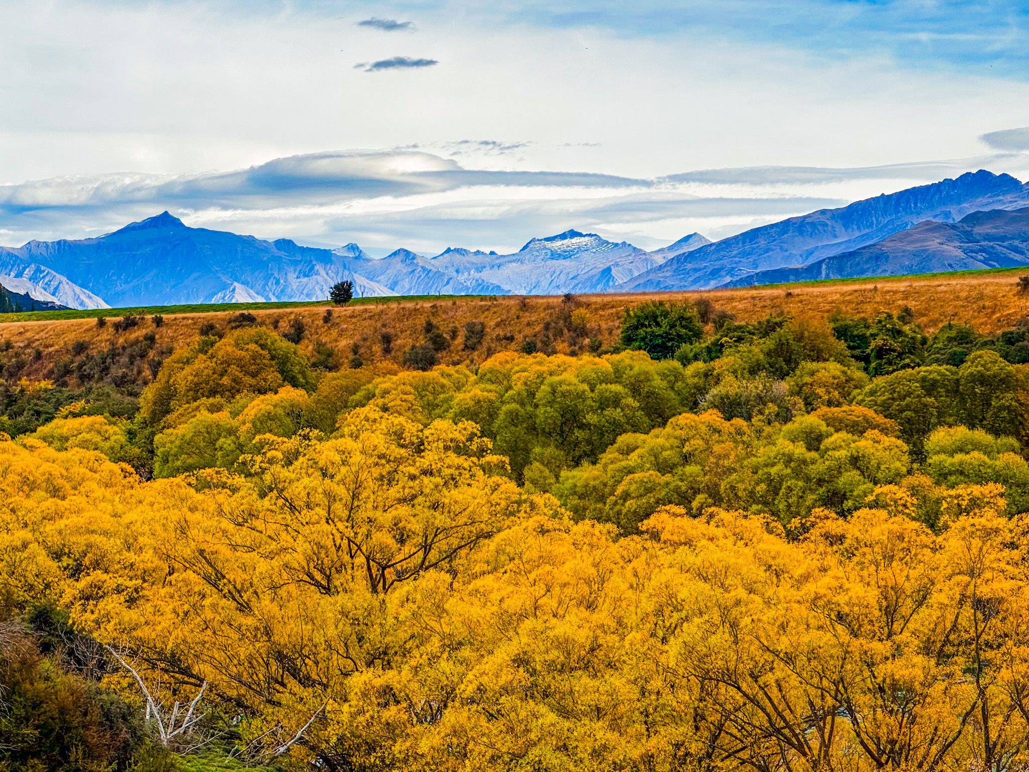
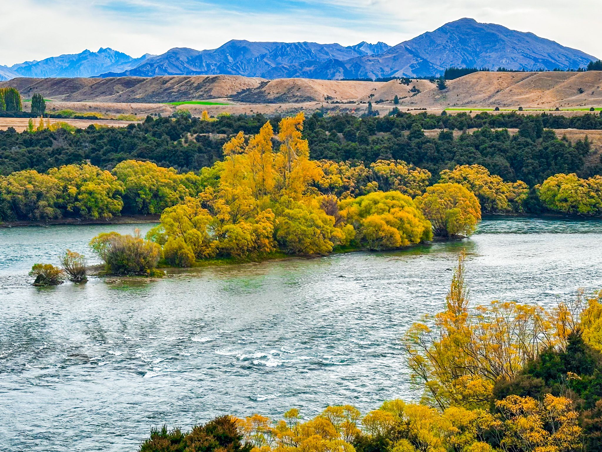
East of Reko's Point, the track rises to its most spectacular sections: narrow clifftop paths directly above the river where the Clutha bends through the landscape below in long, fast curves of emerald and blue. These elevated sections offer the best views of the river and the mountain backdrop, the Pisa Range to the north, the Crown Range to the south, and, on clear days, a distant prospect of the Main Divide beyond Wānaka.
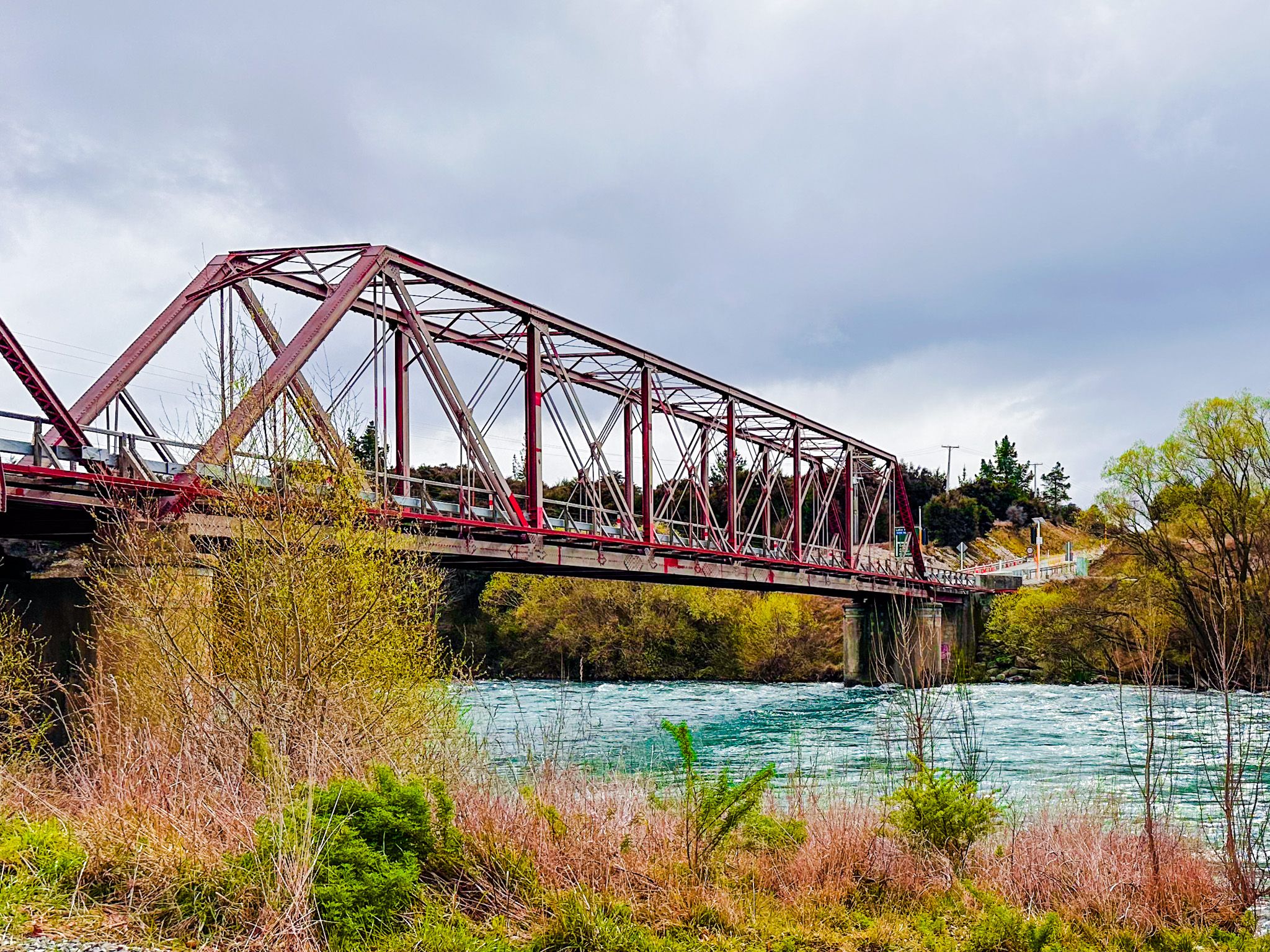
After about 2 hours, the track crosses State Highway 8A. You can walk to the Red Bridge, which dates back to 1915. Its 103-metre Baltimore through-truss steel structure is one of the most historic bridges in Otago, and it marks the point where the Newcastle Track on the true left bank connects back across the river, enabling a loop return to Albert Town.
Continuing on the main track takes you to another section of extensive mine tailings, gradually being overtaken by trees and shrubs, then back above the river, and next to the developing outskirts of Luggate, to connect with the Luggate Stream Track.
Gold Mining History
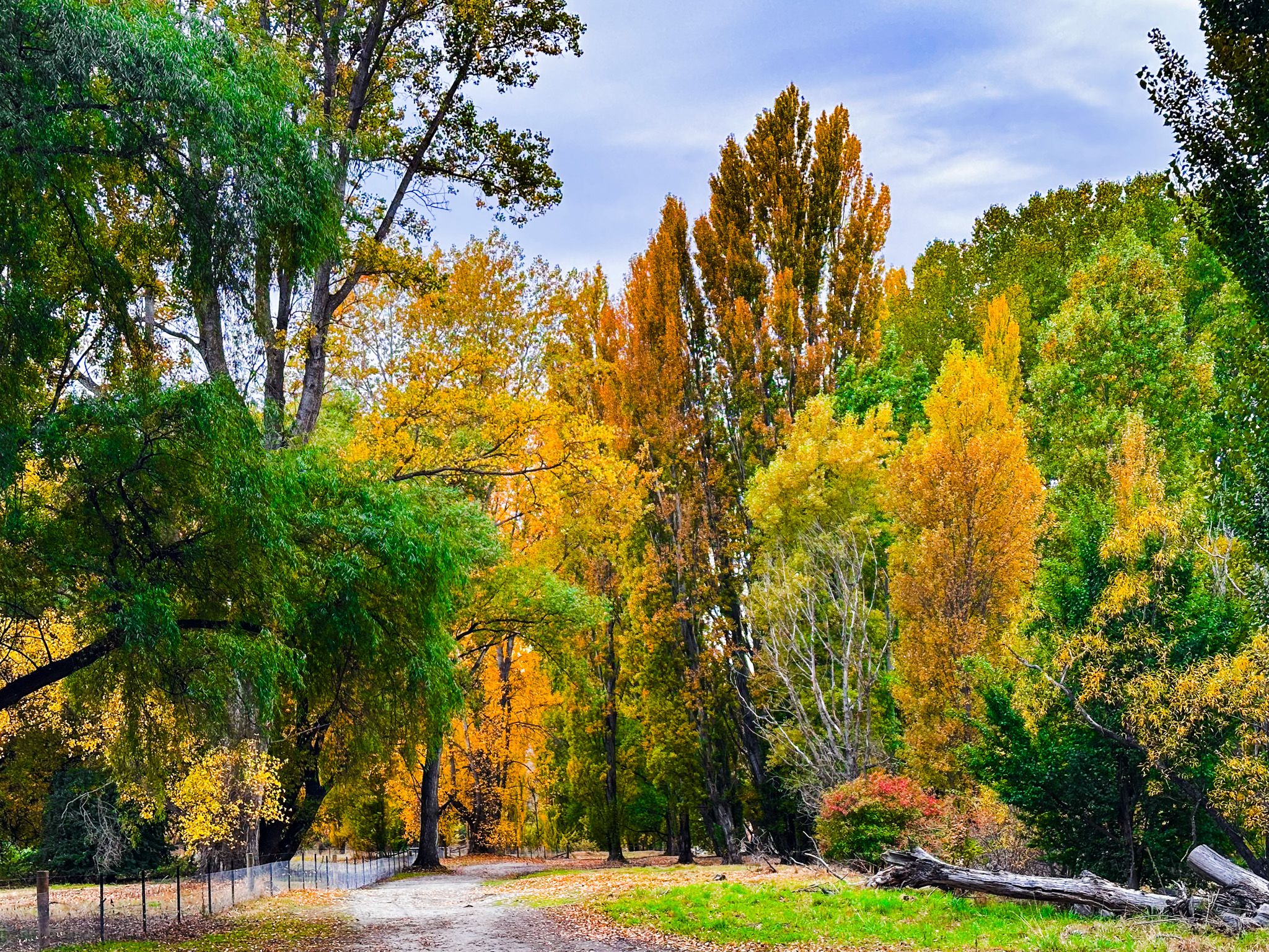
Gold was discovered in the Clutha and its tributaries in the early 1860s, and the Upper Clutha section was dredged intensively from the 1880s onward. At the peak of the dredging era, 187 gold dredges were working the river between Albert Town and Luggate, a remarkable concentration of machinery on a single river reach. The dredges operated on pontoons, working their way upstream and downstream through the river gravels, extracting fine alluvial gold. Miners also brought the deciduous trees they were familiar with, and these can be seen scattered along the route. Reko’s Point is particularly colourful in Autumn, with one of the largest concentrations of poplars.
Fishing
The Upper Clutha is one of the most highly regarded trout fisheries in New Zealand. The river holds large populations of brown and rainbow trout, and the emerald-green water and clear gravels make sight-fishing conditions exceptionally good from December through to April. Several of the access points along the track, particularly near Reko's Point and the Shortcut Road car park, are used as fishing access points by anglers.
Te Araroa Connections and the Wider Network
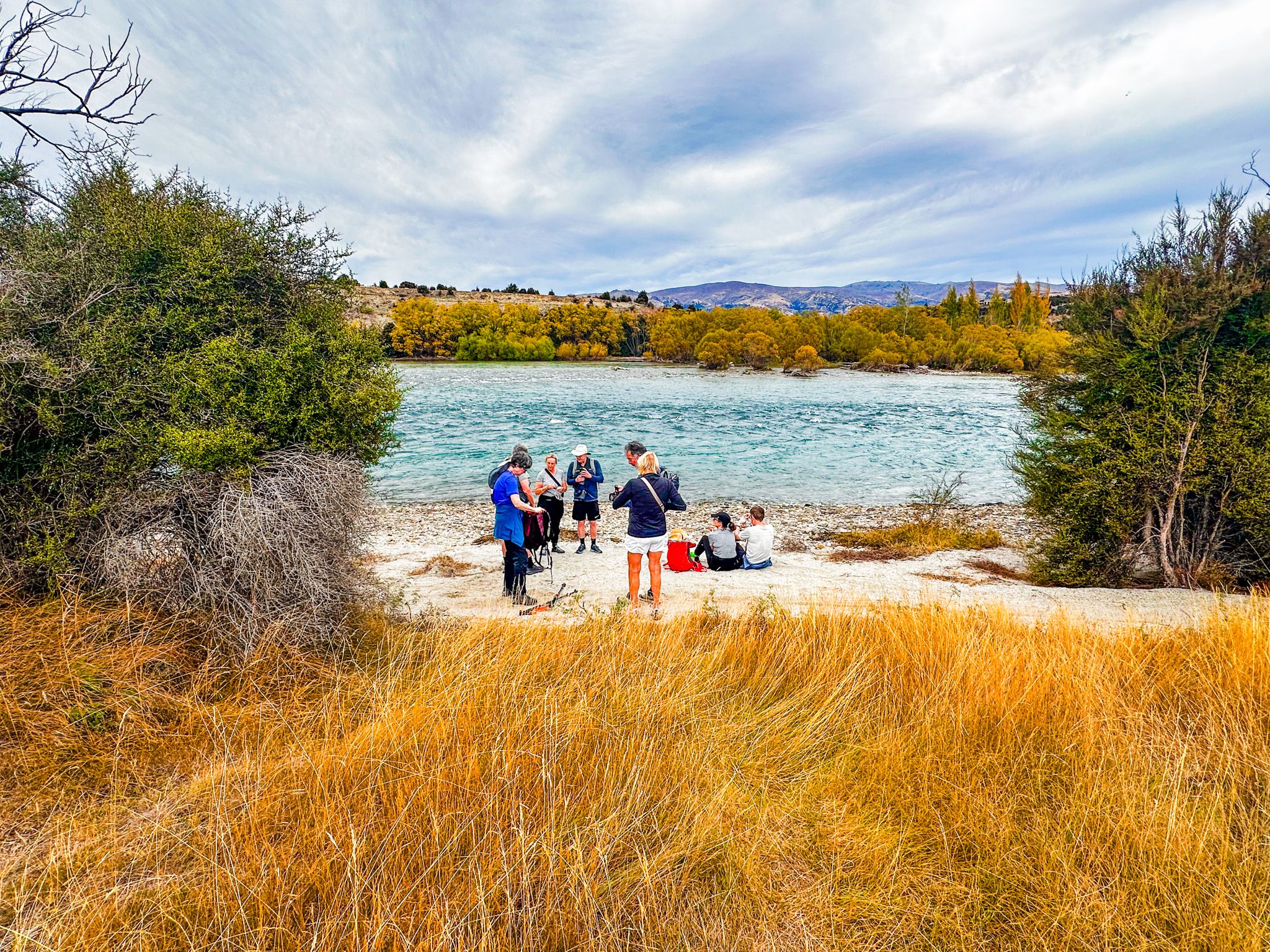
At the Albert Town end, the Upper Clutha River Track connects to two additional shared sections of the wider network, both of which are also part of Te Araroa. The Outlet Track runs west from Albert Town along the north shore of the Clutha to Lake Wānaka, and then to Wānaka township. The Hawea River Track runs north from Albert Town along the Hāwea River for 12 km to Lake Hāwea township.
How to Get There
The western trailhead starts at the end of Wicklow Terrace or Arklow Street in Albert Town, approximately 4 km east of Wānaka on State Highway 84. The eastern trailhead is 18 km farther east on State Highway 6 in Luggate, connected to the Luggate Stream Track, with the historic Luggate Hotel a short walk from the trailhead. The track is best walked or cycled one way with a vehicle shuttle between Albert Town and Luggate. Dogs are permitted on a lead throughout.
Other nearby places for walking and hiking include the Mount Iron Track, Glendhu Bay Track, Mount Roy Track and Meg Hut Pack Track.