Manuherikia Valley: Gold Trails and Irrigation
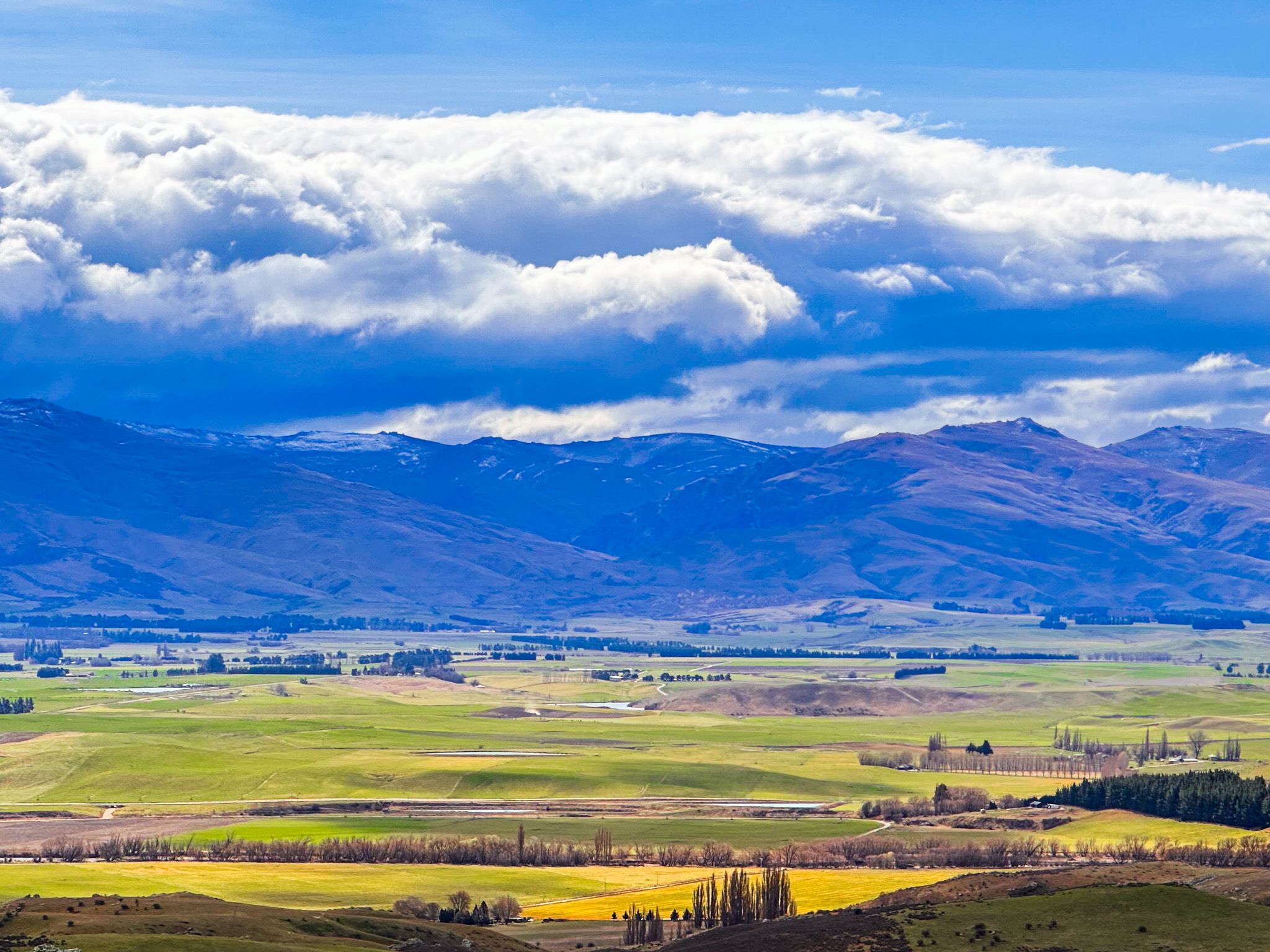
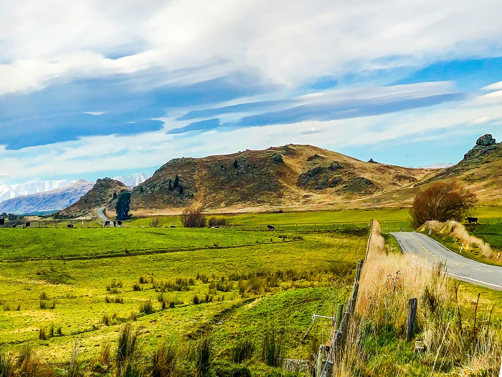
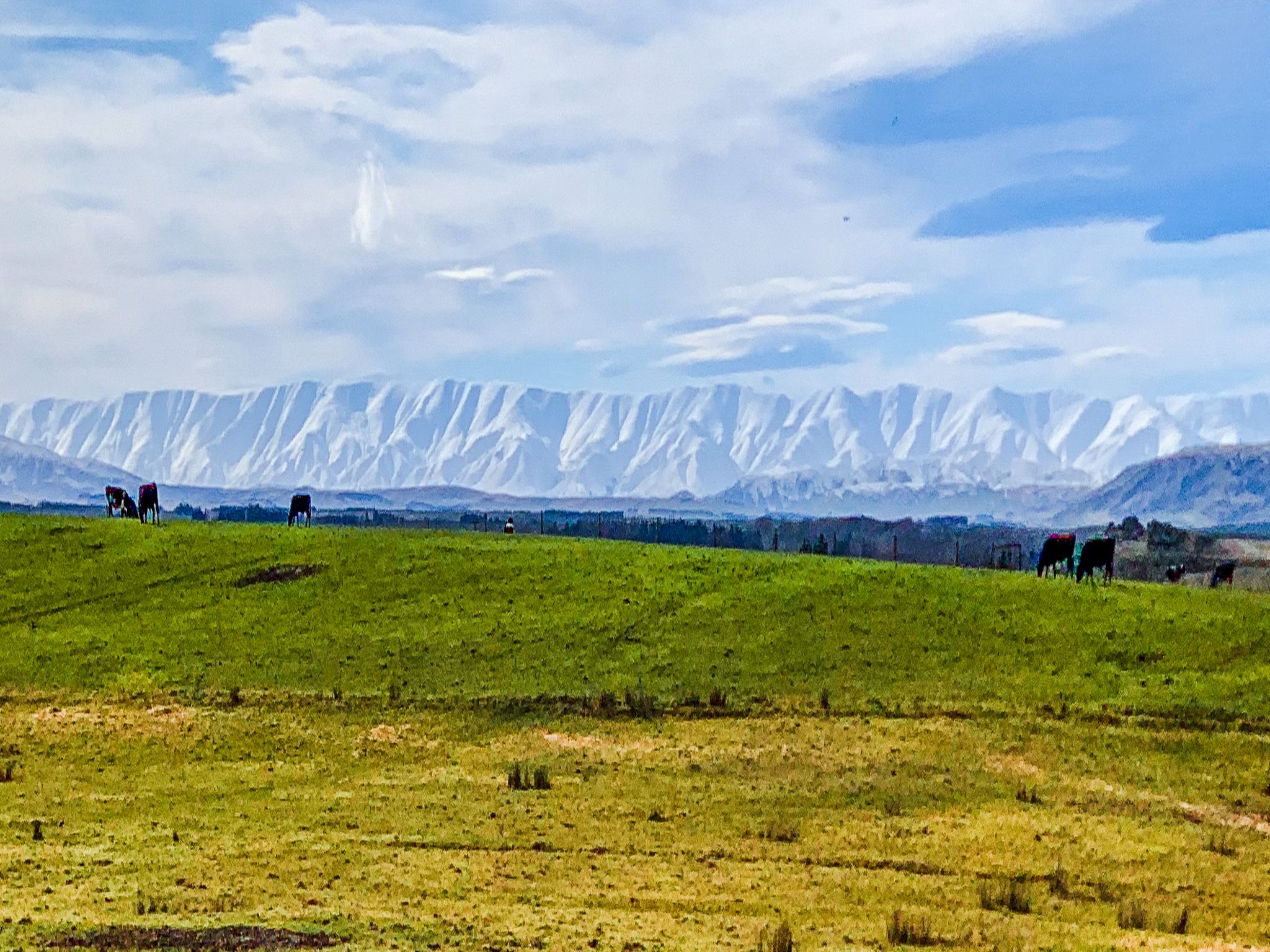
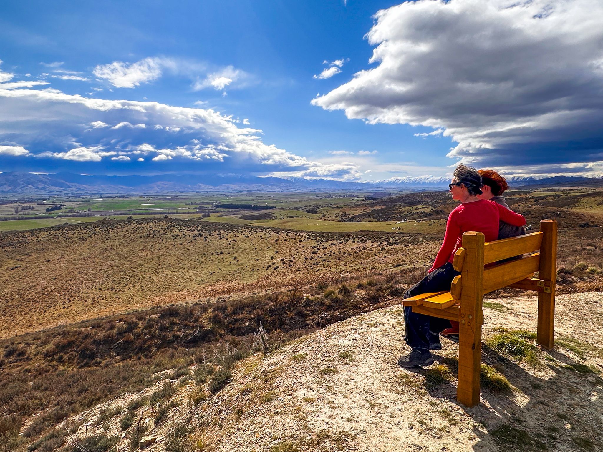
Manuherikia Valley in Central Otago stretches northeast for 70 km, from the Old Man Range / Kōpūwai to the Hawkdun Range, between the Dunstan Range and Raggedy Range. The valley has been carved out by the braided Manuherikia River over millennia and is steeped in geological, agricultural, and gold rush history. Alexandra and Clyde sit at the southwest ends of the valley, which is accessible via State Highway 85. This wide, dry valley draws you into a landscape of gravel fans, faulted ridgelines, and remarkable contrasts, from prehistoric lakes to 20th-century irrigation feats.
Landscapes Shaped by Water and Tectonics
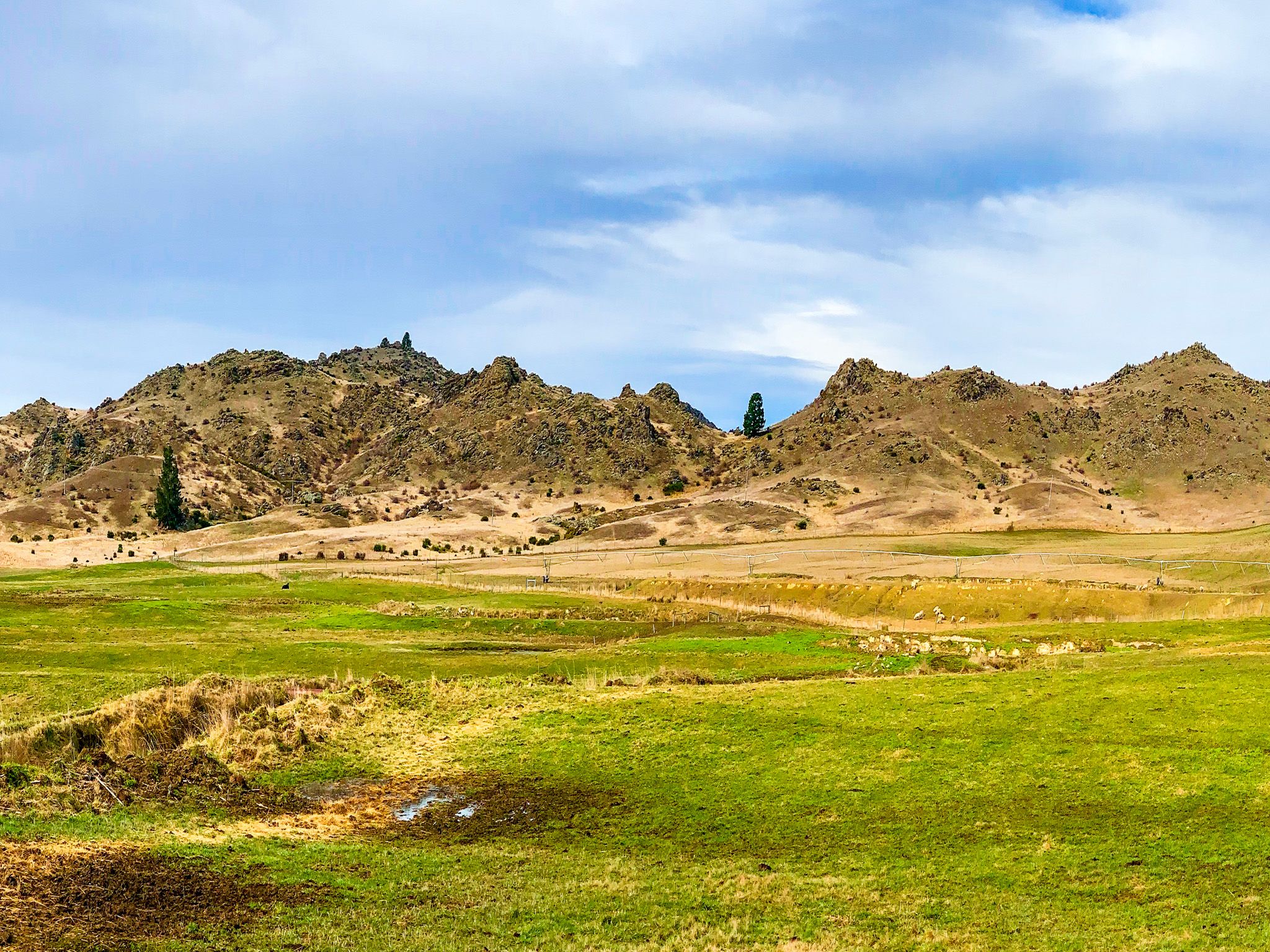
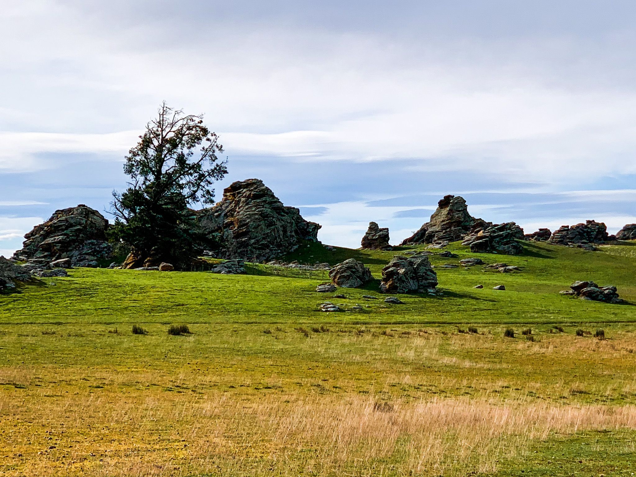
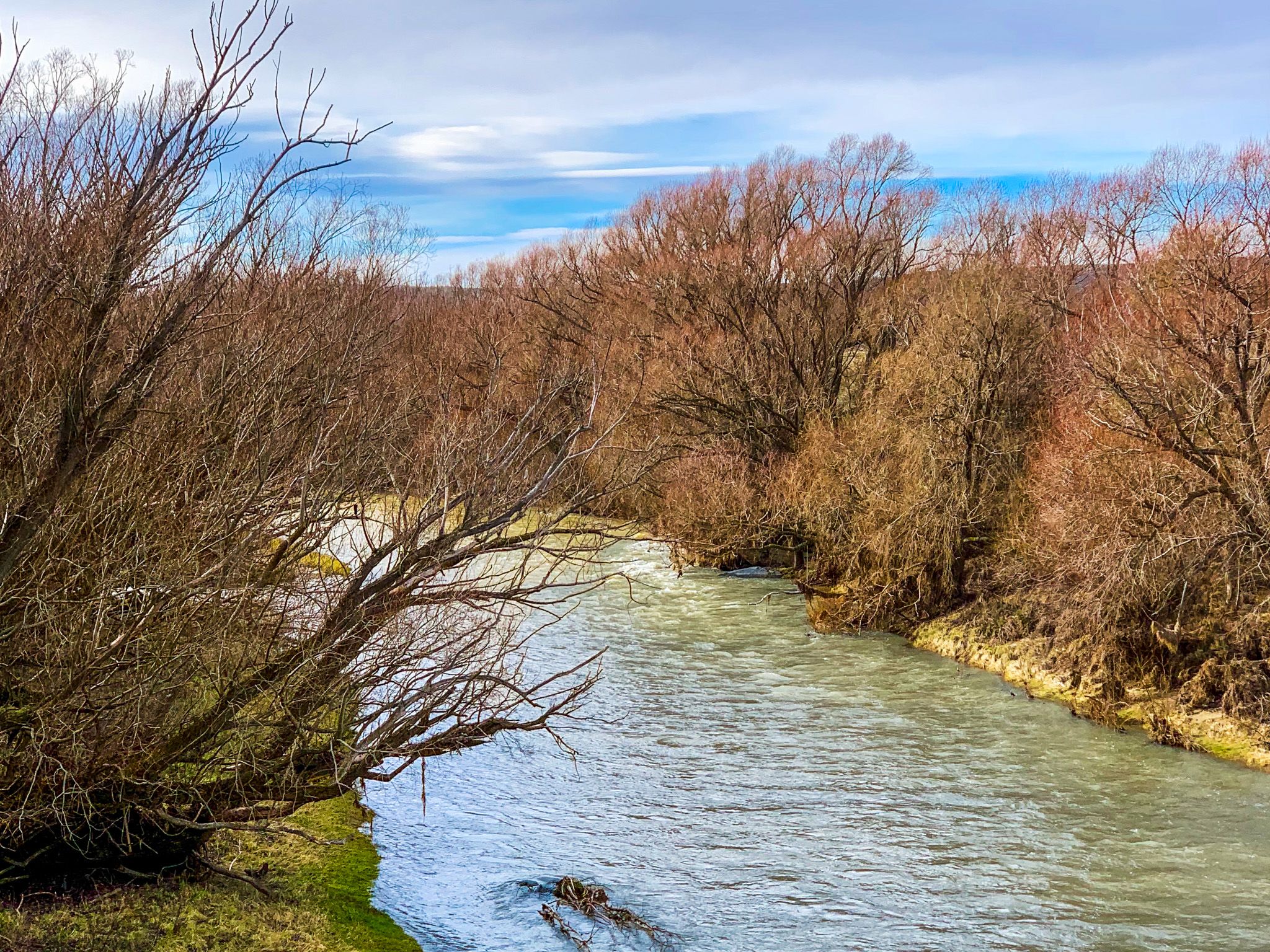
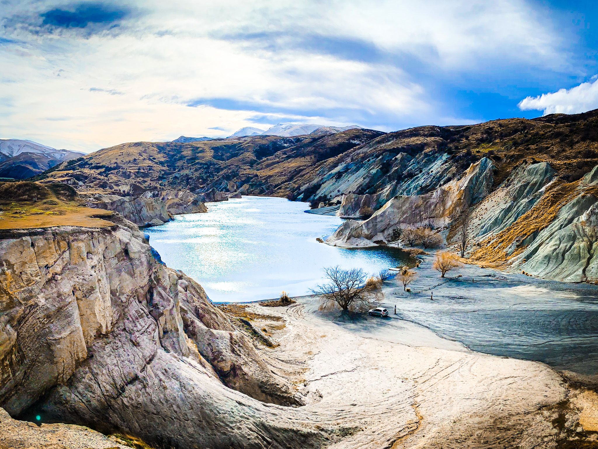
Nineteen million years ago, much of Central Otago was underwater. The land rose up, and ancient Lake Manuherikia filled this valley for several million years, leaving behind a rich fossil record of crocodilians, freshwater fish, and subtropical plants. As tectonic uplift fractured and lifted the land, the lake drained, and the Manuherikia River began cutting into gravel and schist to form the broad basin we see today.
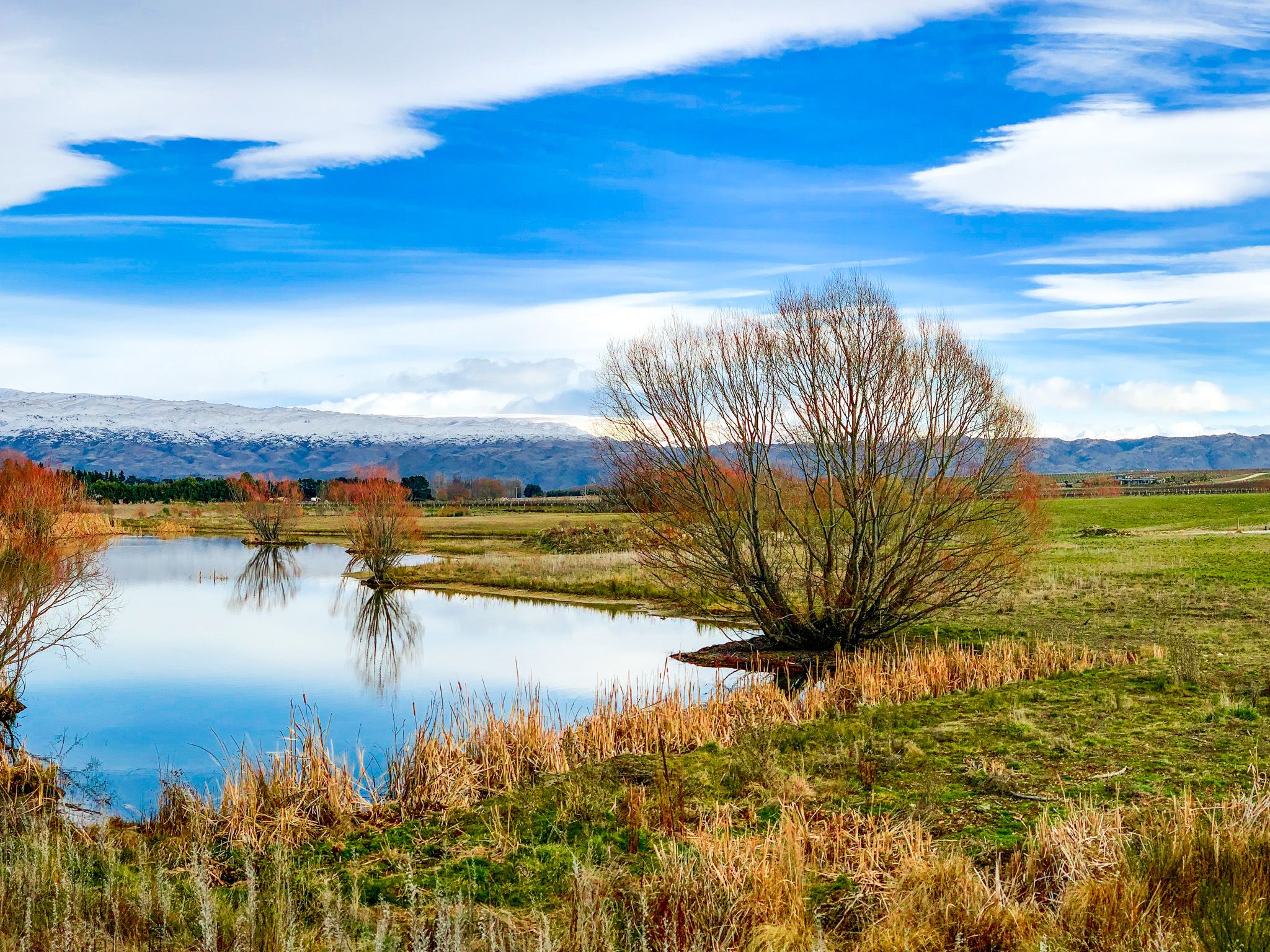
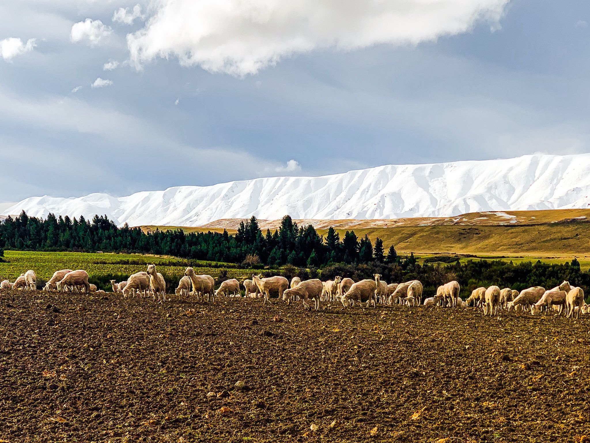
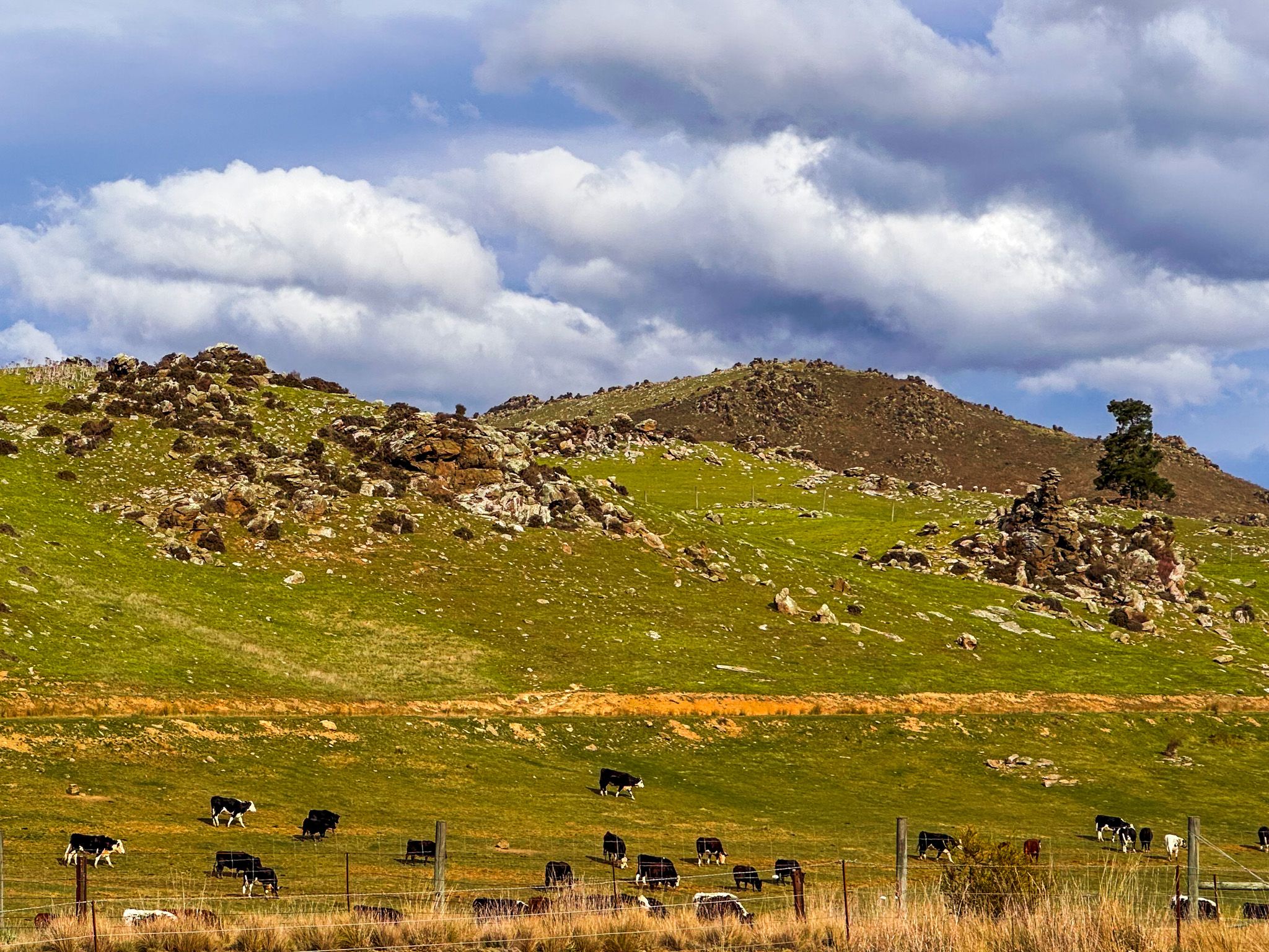
Rainfall here is sparse, around 400 mm per annum in parts, and the valley experiences sharp seasonal contrasts: baking summers and frost-heavy winters. The river winds through a floor of free-draining soil and alluvial fans, lined by native tussocks and drought-tolerant shrubs.
Trails, Towns, and Gold Rush Legacies
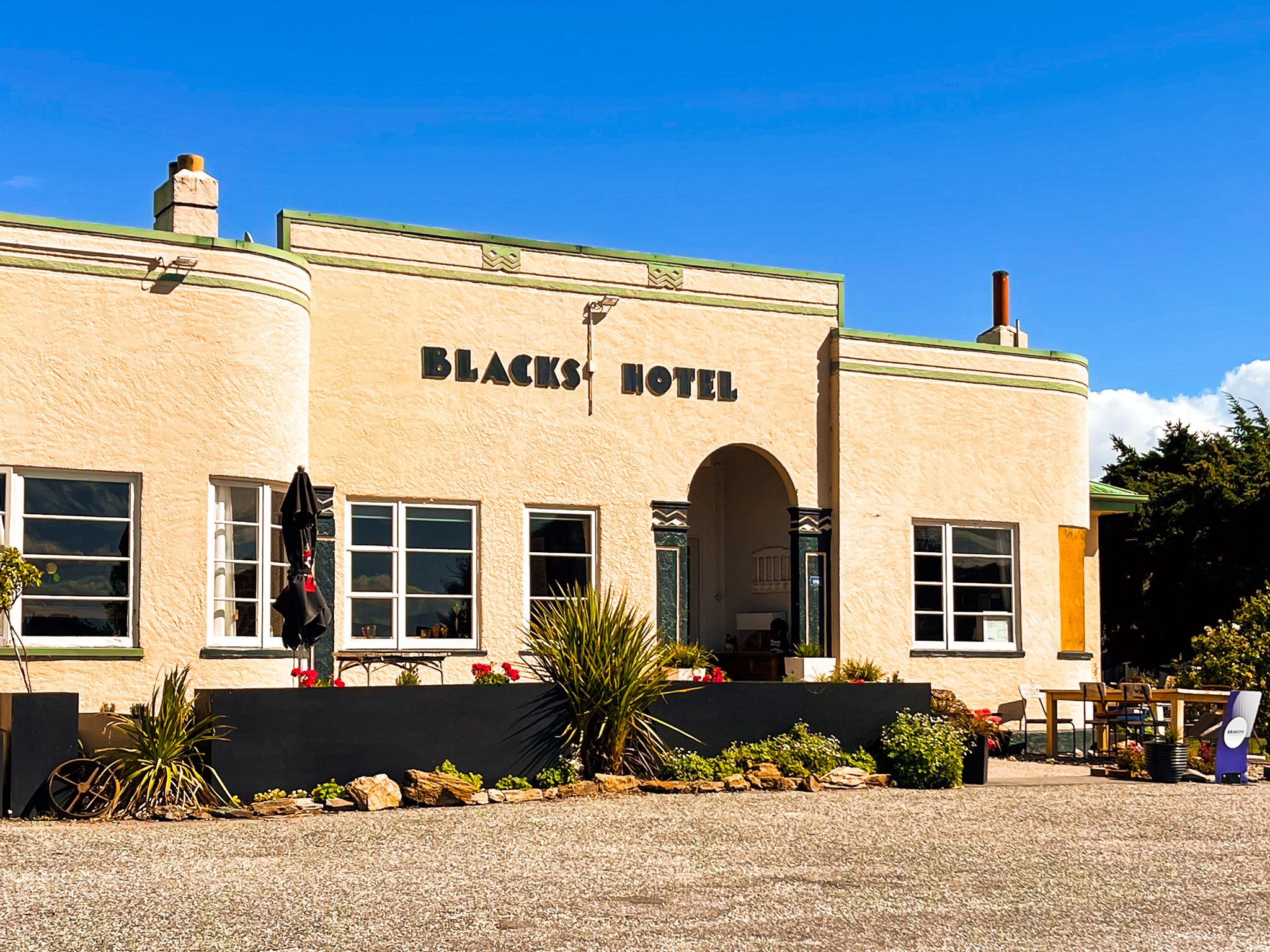
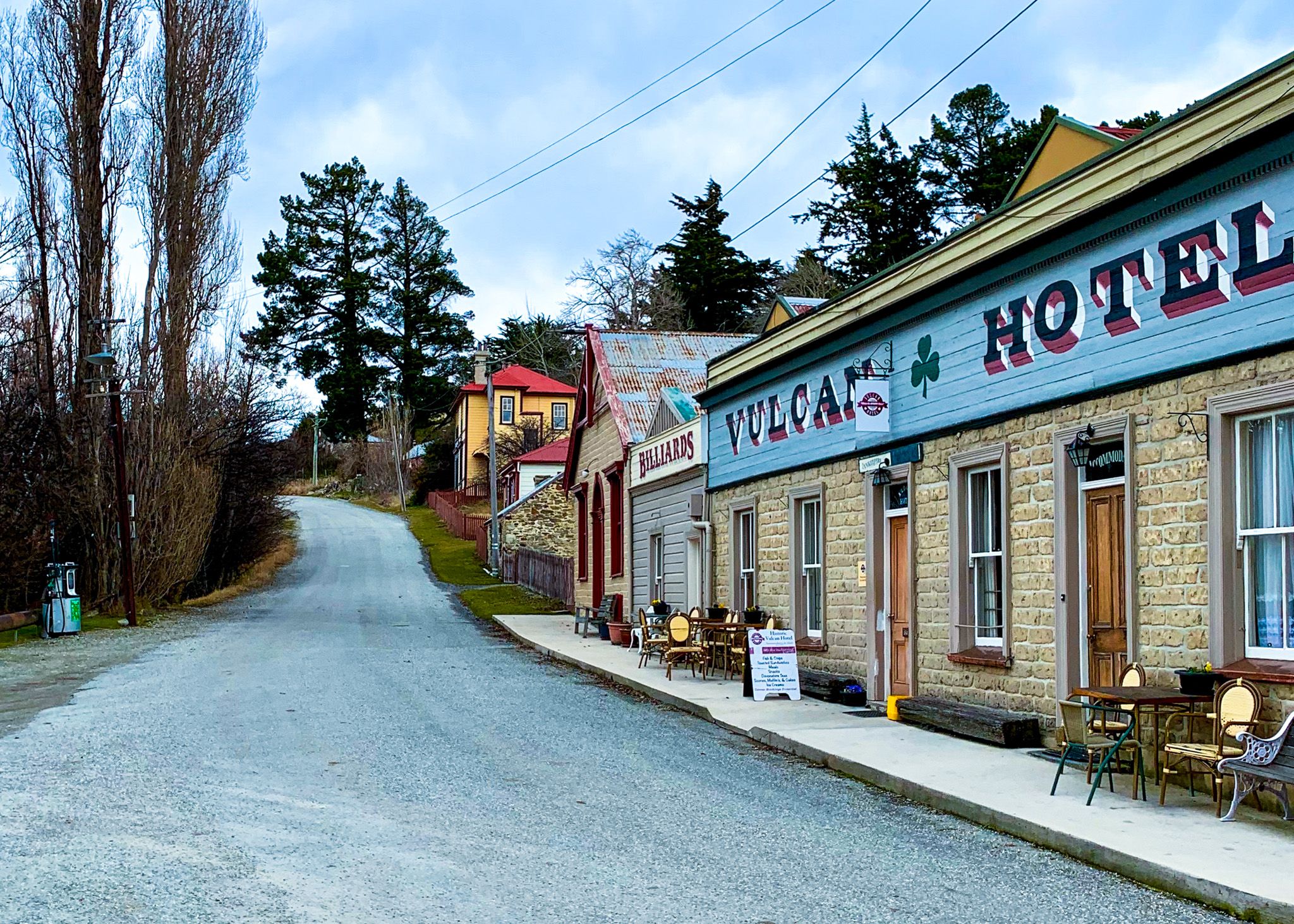
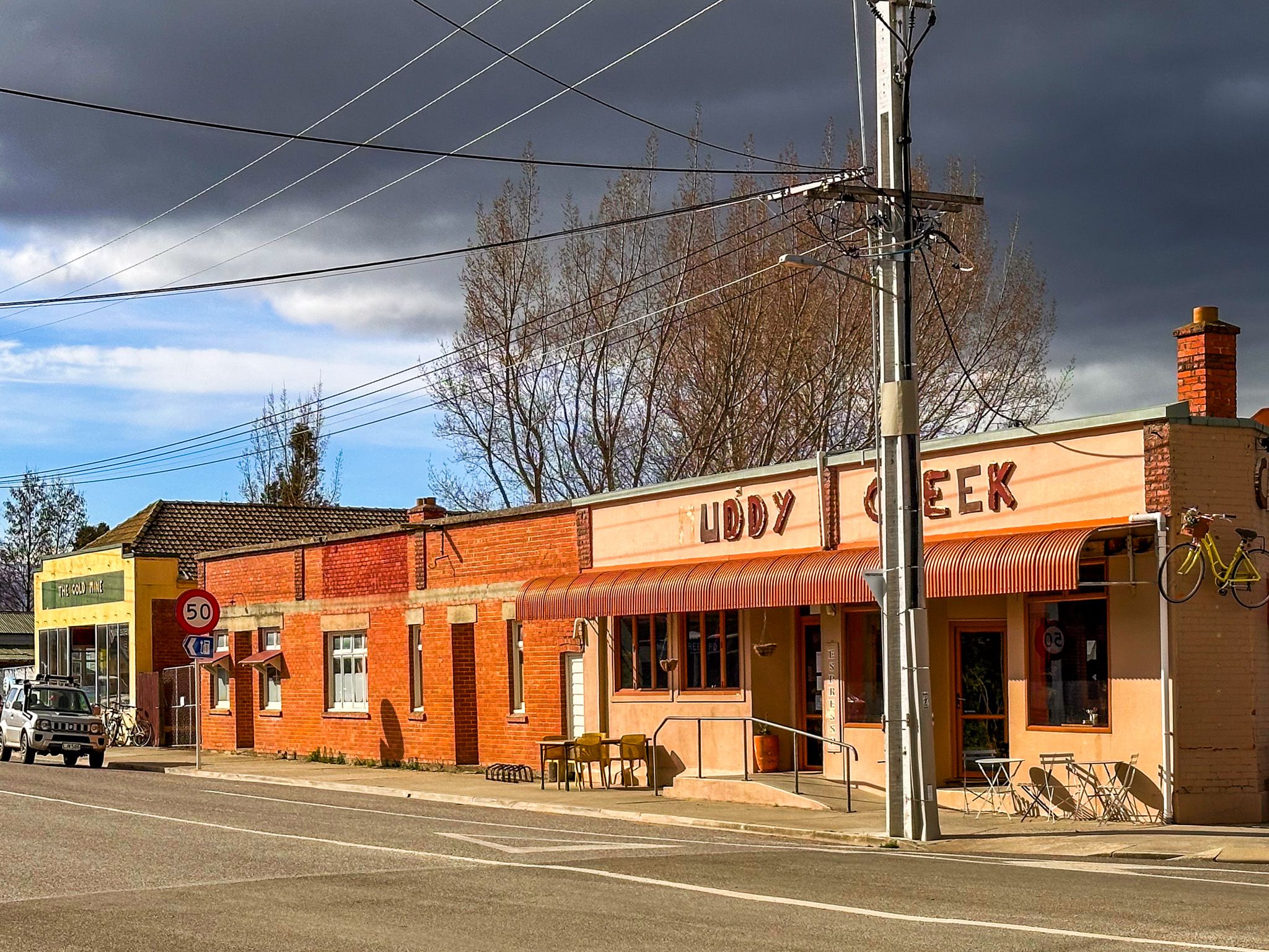
Gold was discovered in the Manuherikia Valley in the early 1860s, part of the broader Otago Gold Rush that reshaped the region’s demographics and economy. The valley was connected to Dunedin during this time by the Old Dunstan Road, which climbed over the highlands and ranges to the south. Prospectors followed the road and swarmed into gullies and creeks like Lauder Creek, Chatto Creek, and Earscleugh, as well as rich sites such as Devonshire Diggings, Tinkers Diggings and Drylands near St Bathans. The town of St Bathans grew rapidly, fuelled by the incredible output of a nearby hill, which was transformed into the man-made Blue Lake through hydraulic sluicing.
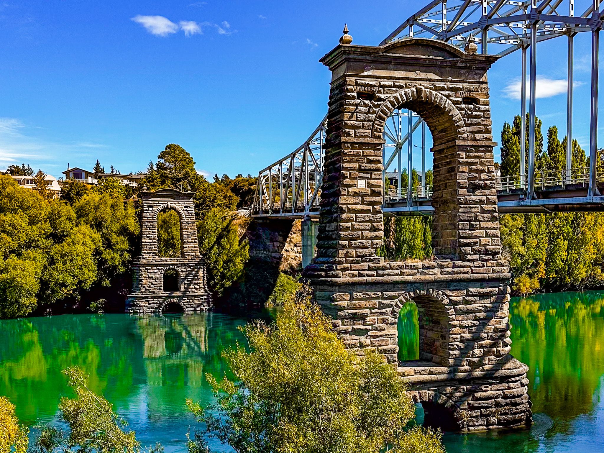
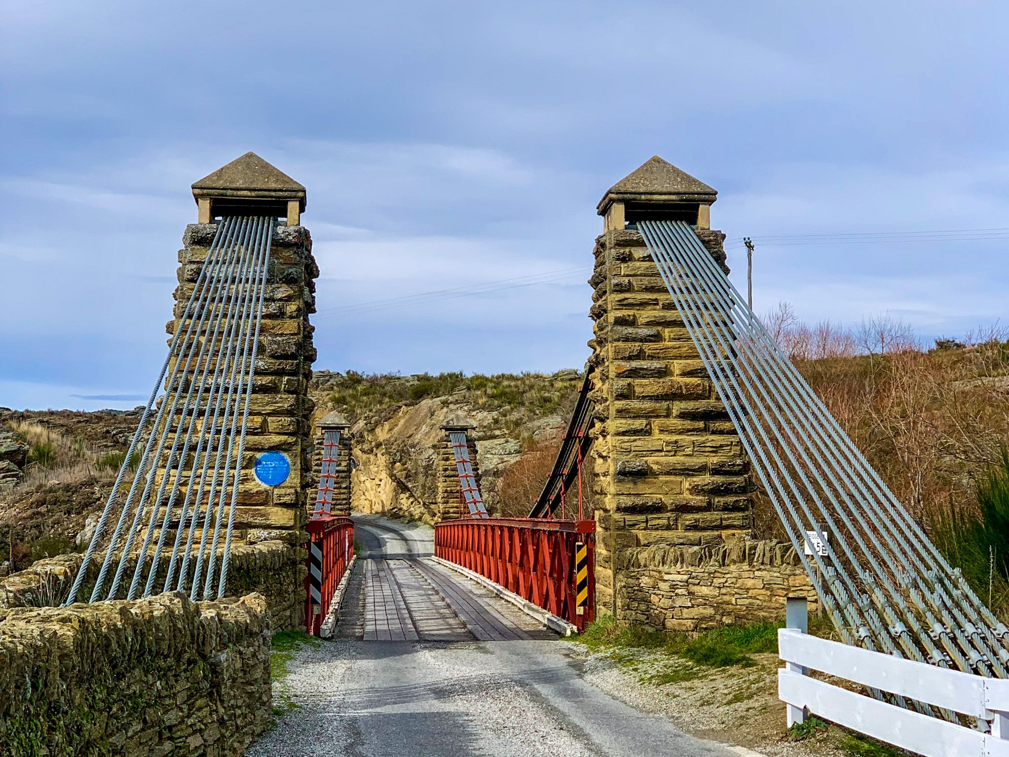
Ōmakau and developed as inland bases, with briefly rivalling Dunedin in size during its boom years. Further down the valley, Alexandra, known initially as Lower Dunstan, became a key river crossing and supply centre during the gold rush, eventually outgrowing many of its mining-era neighbours. Clyde, formerly called Dunstan, was the main river port and still retains several stone buildings from its heyday.
Today, the Otago Central Rail Trail winds through many of these historic landscapes, offering a way to trace the route of gold-era packhorses and subsequent steam trains.
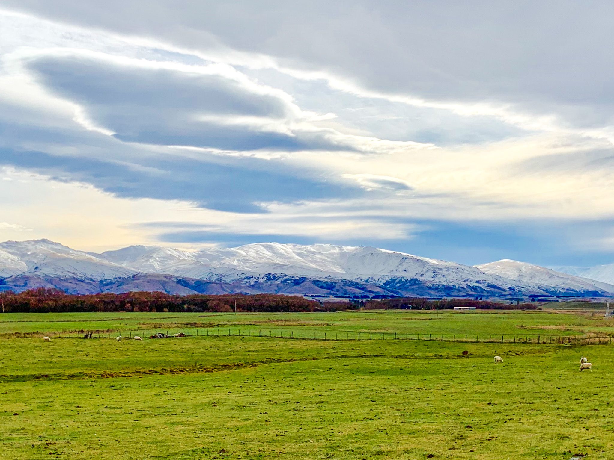
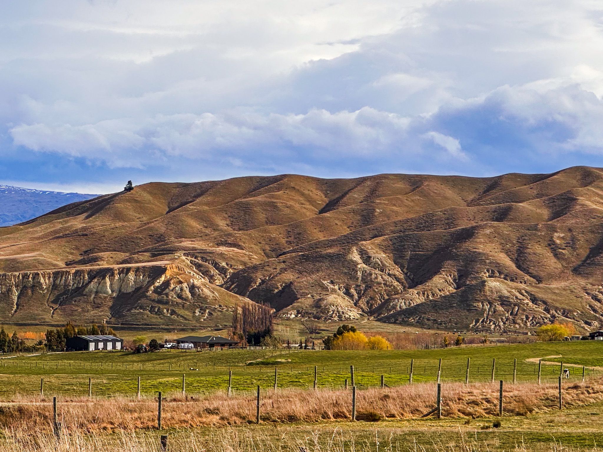
About the same time as the gold rush, pastoral farmers arrived in the valley, bringing merino sheep. Once the gold declined, sheep farming took over. Large dryland stations like Moutere and Galloway became the valley’s backbone, supported by evolving irrigation infrastructure. The Falls Dam, completed in 1935, was the first major structure to regulate and distribute water across the Manuherikia. The Lower Manorburn scheme near Alexandra later joined it.
The southern end of the valley near Alexandra and Clyde has since evolved further. The construction of the Clyde Dam in the 1980s reshaped the Clutha River landscape and helped regulate water in the region. It also enabled greater downstream water reliability, complementing upstream irrigation, allowing orchards and vineyards to expand. Today, four main irrigation schemes manage water across the Manuherikia catchment, balancing seasonal shortages with historical rights and modern farming demands.
The Manuherikia Valley Road Tour
This scenic road loop explores the heart of Central Otago’s gold and farming country, starting in Clyde and circling through the Manuherikia Valley via Alexandra, Ōmakau, Falls Dam, St Bathans, and Matakanui.
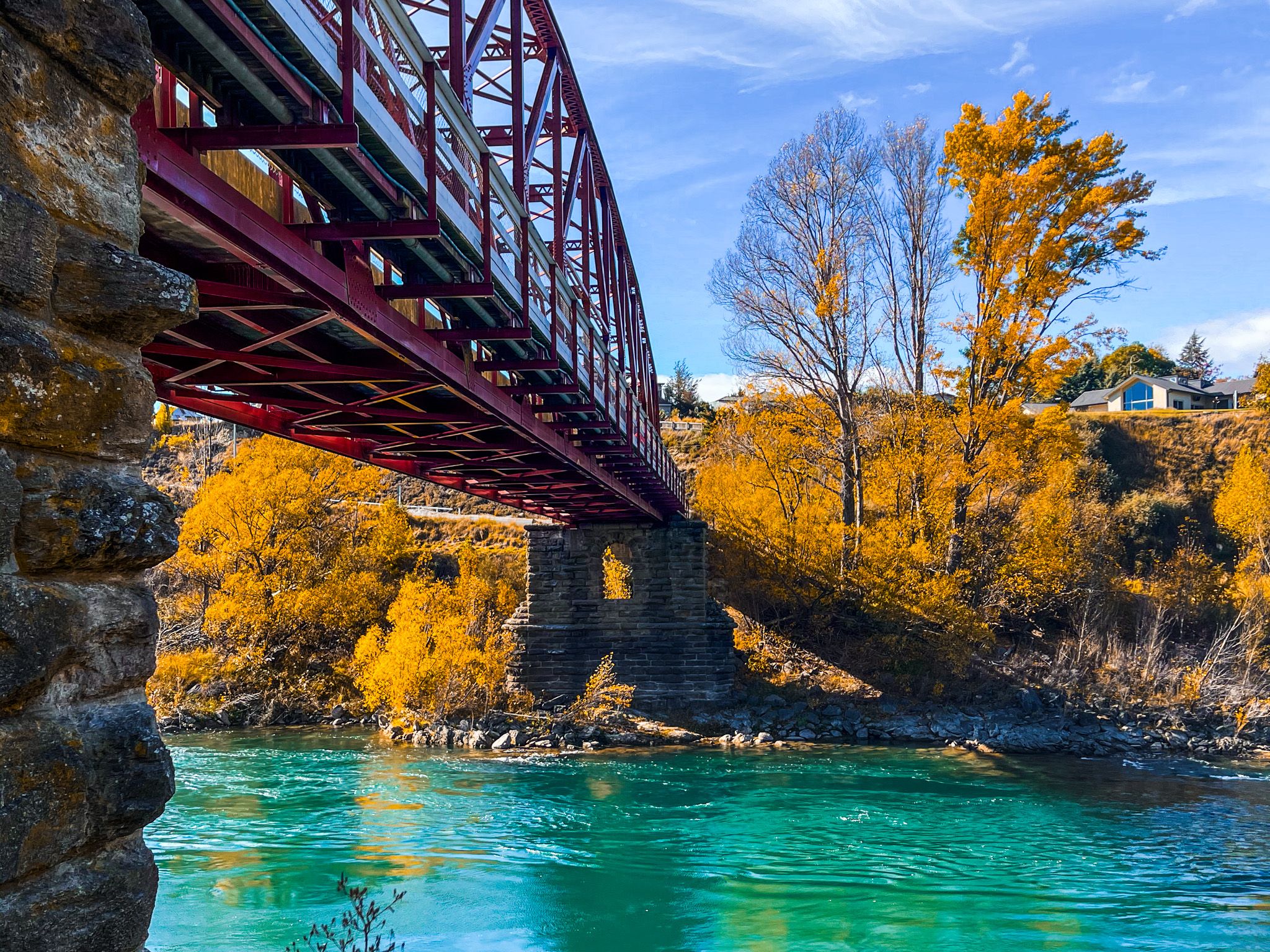
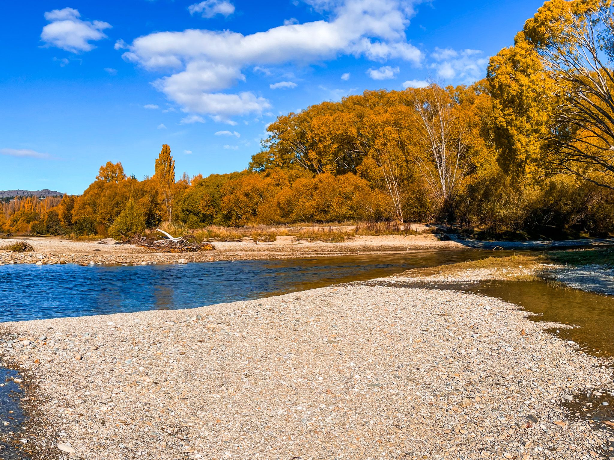
Start in Clyde, cross the historic bridge to the quieter west bank of the Clutha River, and continue to Alexandra, passing orchards and vineyards. It's especially colourful in Autumn. From here, take State Highway 85 northeast through Ōmakau, turning off for a short detour to historic sites before rejoining the highway.
Continue through Becks towards Hills Creek, then take gravel St Bathans Loop Road towards St Bathans, with a side trip to Falls Dam. This is a 1930s irrigation reservoir high in the valley headwaters, which helped transform the valley. From St Bathans, home to the striking Blue Lake and gold-era relics, head south on the loop road (now sealed) towards Becks, but turn onto Glassford Road to Matakanui and Tinkers Gully, another prominent but lesser-known gold mining area.. From there, you can take Racecourse Road or Chestermans Road back to State Highway 85 and Omakau to complete the loop.
How to Get There
State Highway 8 cuts through the southwest end of he valley, between Alexandra and Clyde, with access from Roxburgh to the south and Cromwell from the north. State Highway 85 heads northeast from Alexandra Hills Creek, where the highway turns southeast to cross the Ida Valley and then enters the Maniototo Plain, heading to Palmerston North or Dunedin on the Pacific Coast.
Other places of interest around the edge of the valley include the Earnscleugh Tailings, Hawksburn Road, Conroys Gully and Butchers Gully.