Falls Dam: Rock-Walled Reservoir
High in the headwaters of the Manuherikia River, at the head of the Manuherikia Valley, Falls Dam is a 1930s rock-fill dam and reservoir central to Central Otago’s irrigation and water supply. The dam stores water from snow melt in the Hawkdun Range and St Bathans Range. The water is released downstream to farms and wetlands, while also generating a small amount of hydro power.
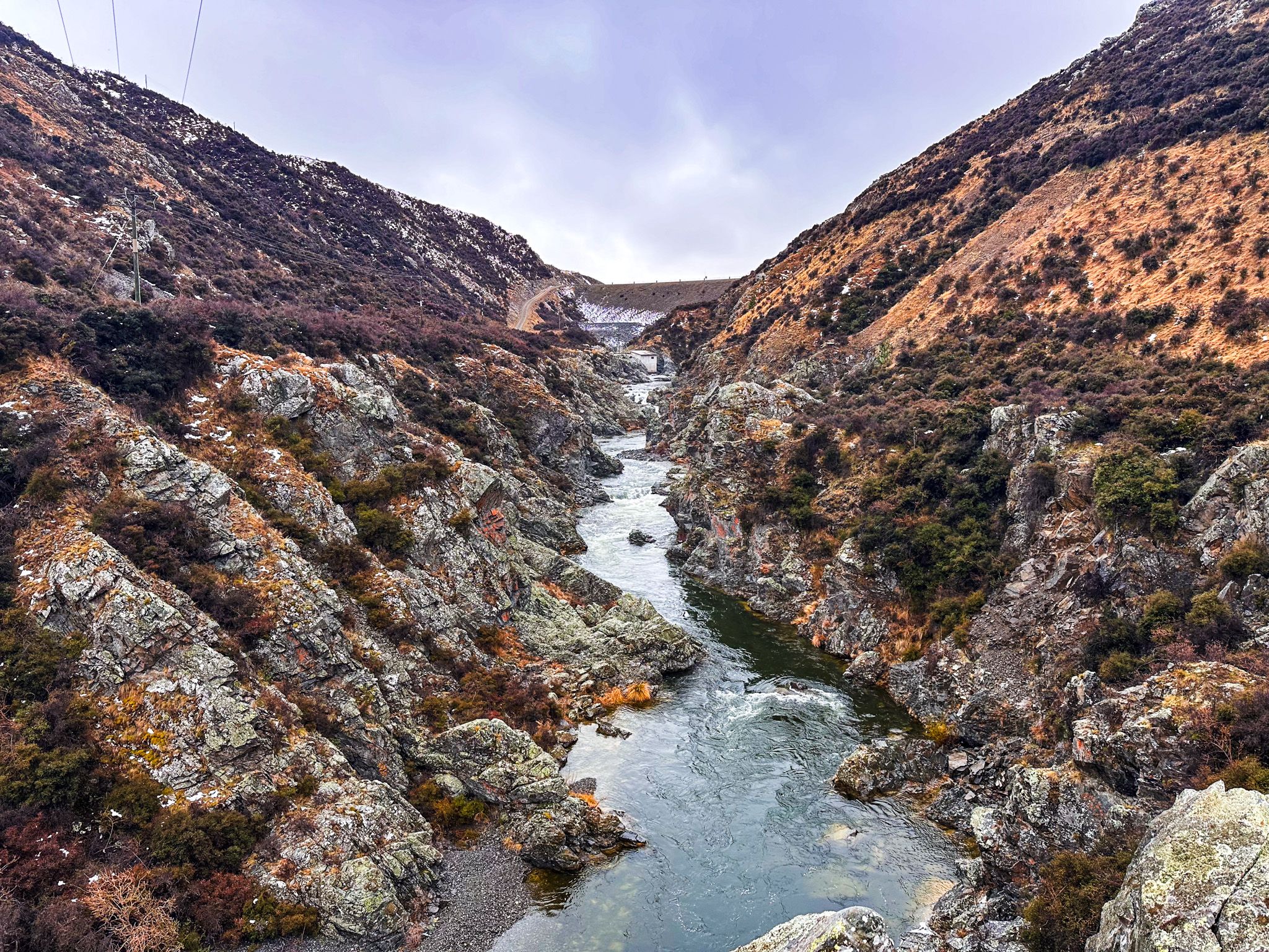
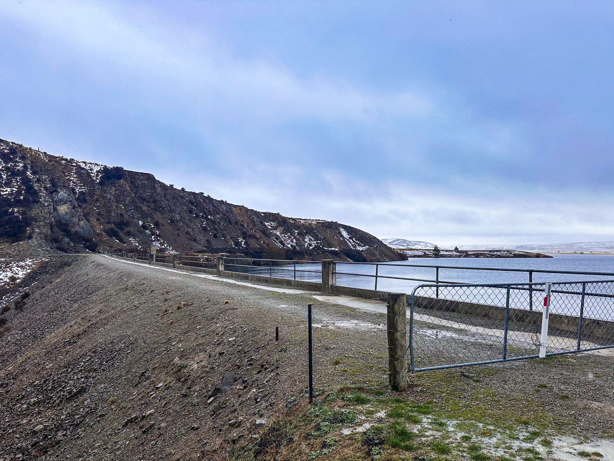
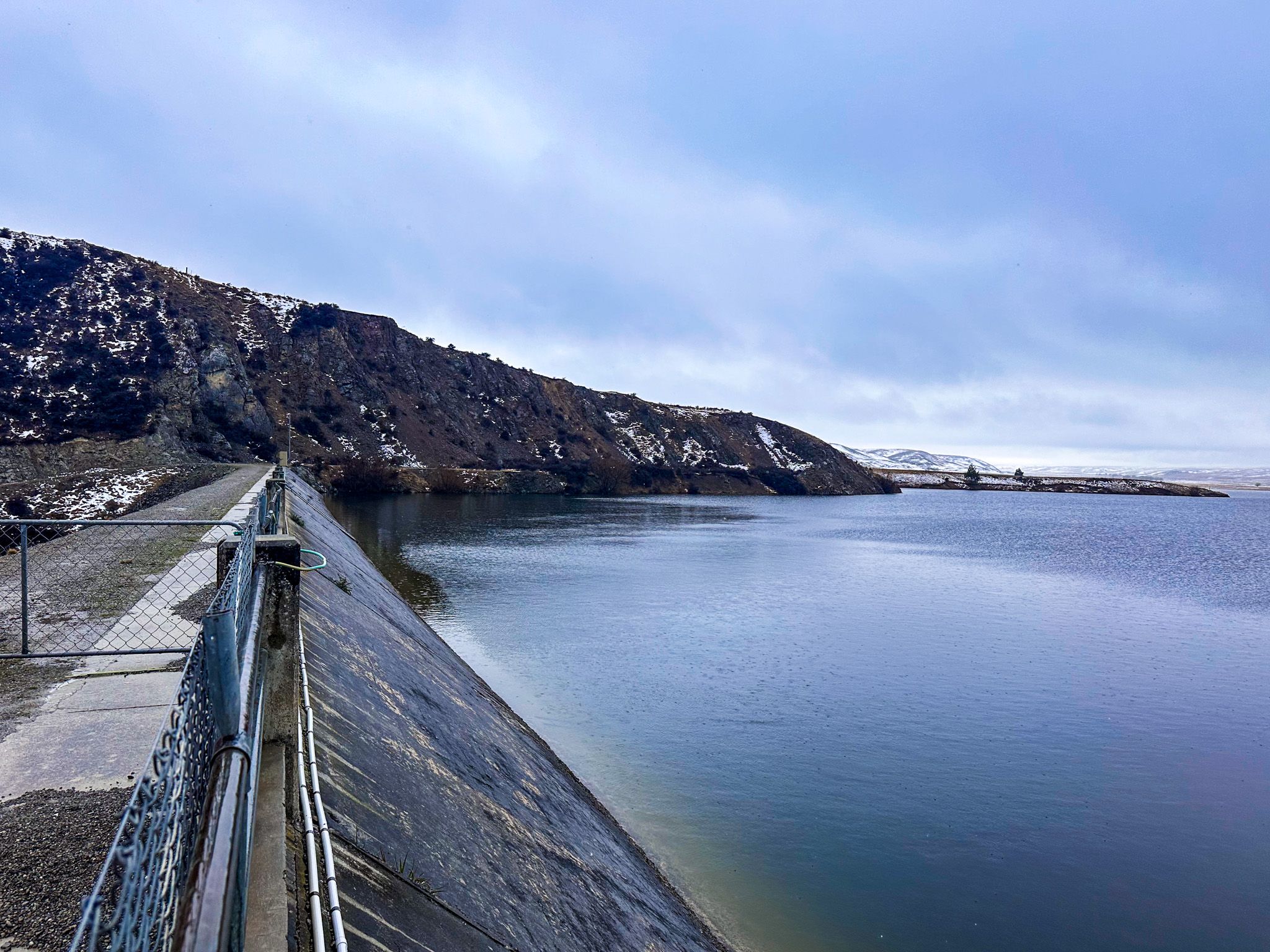
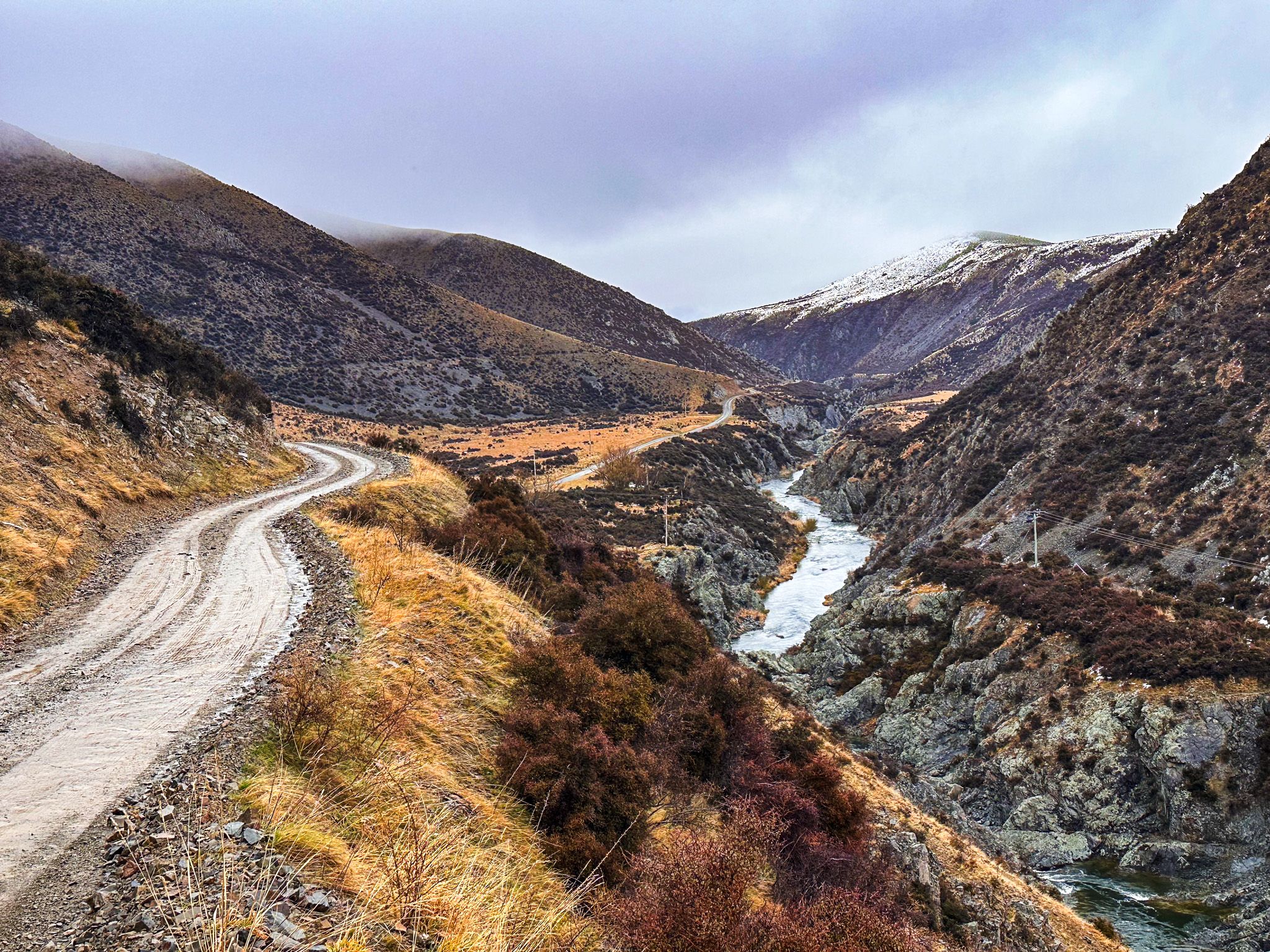
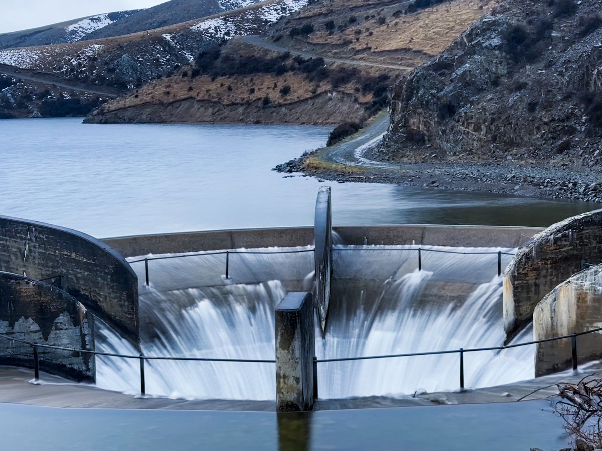
You can access the dam via remote Fiddlers Flat Road. There are spectacular views of the gorge below the dam, the reservoir, and the surrounding mountains. There is also a circular overflow drain known as a glory hole, an interesting sight when it's active.
Water, Power, and Depression-Era Engineering
The dam was proposed in the 1920s and built during the Great Depression, with local workers using hand tools and rock from the valley walls. Completed in 1935, it impounds water behind a rock wall rather than concrete. This was a choice made to maximise employment and use local materials.
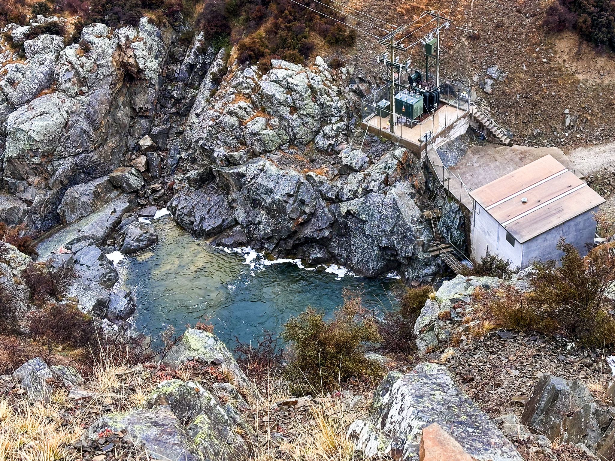
Falls Dam supplies irrigation water to schemes across the Manuherikia and Ida Valley. In 2003, a 30-metre drop was also harnessed to generate about 8.6 GWh annually, via a small Pioneer Energy plant. You can see the power plant below the dam.
Harsh Climate, Fragile Ecology
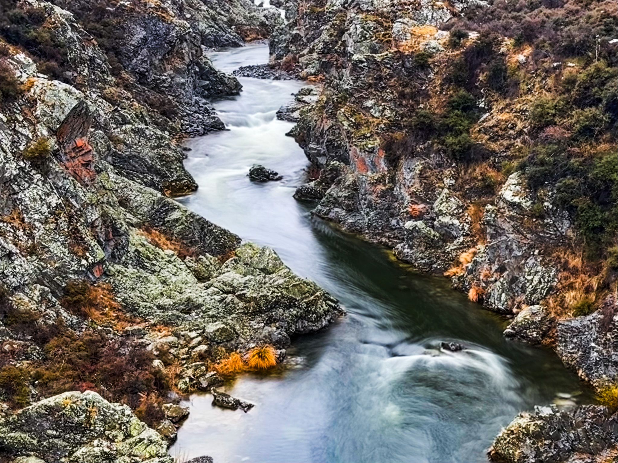
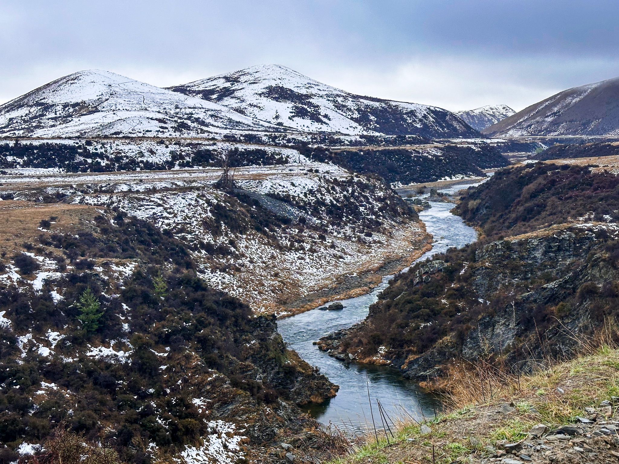
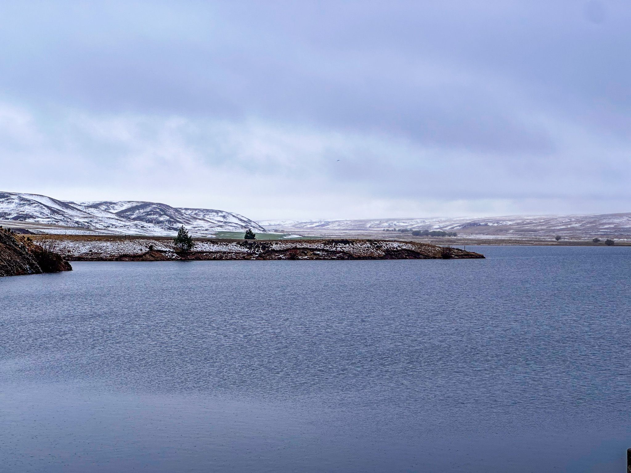
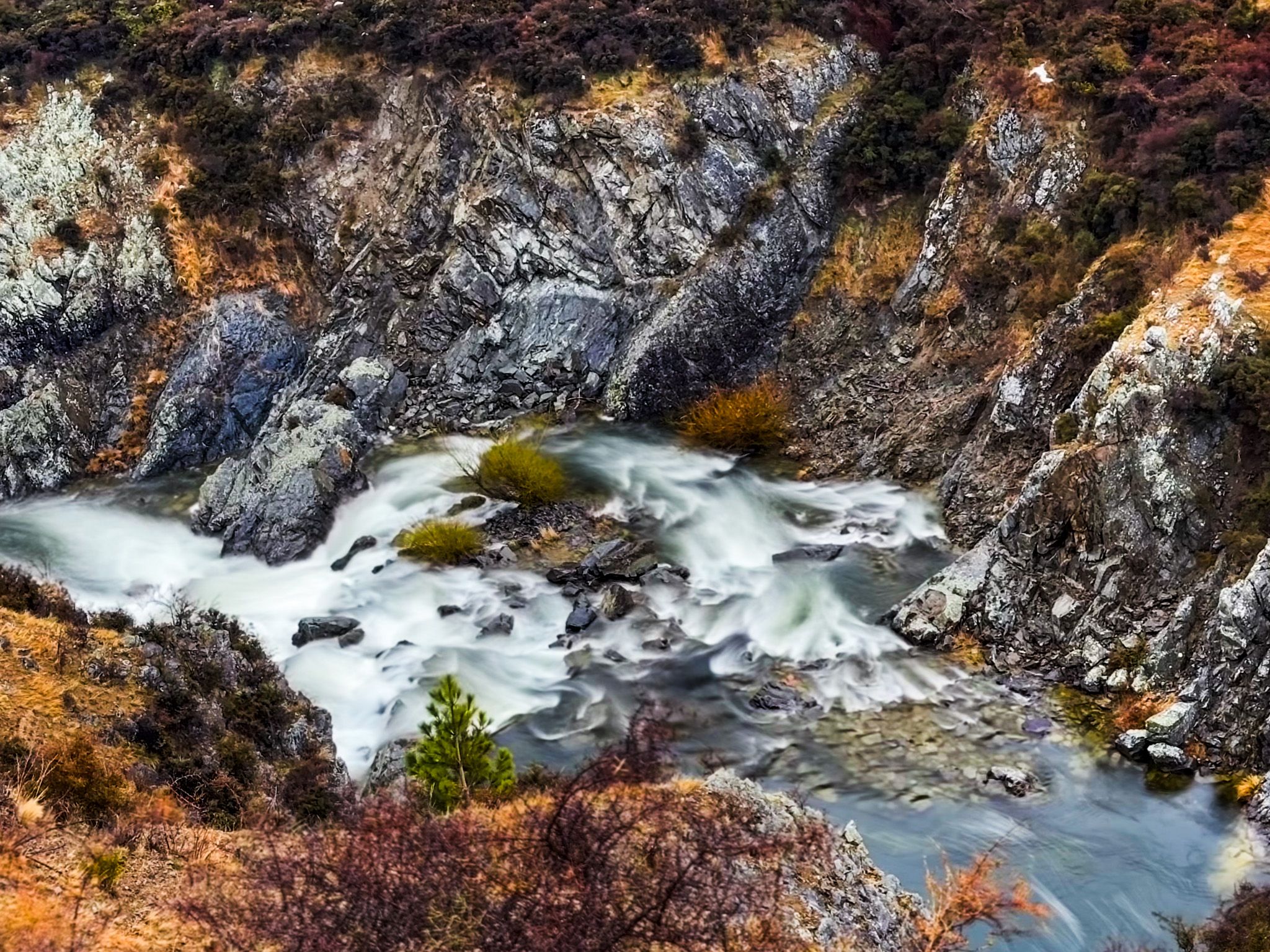
The climate around the dam is dry and unforgiving, characterised by high evaporation in hot weather and minimal rainfall. In Winter, it can be cold enough to freeze the surface of the reservoir. Below the dam, the river flows through a narrow gorge, with spectacular viewing options from Fiddlers Flat Road, before fanning out into the valley. Partway along the road, there is a large parking area and reserve that also overlooks the gorge with views up to the dam.
Ecologically, although beneficial to farming in dry Central Otago, the dam has been disruptive. The Manuherikia alpine galaxias (native fish) and several native bird species have lost their spawning and nesting areas due to changes in water flows and inundation.
Low Storage and Water Politics
In 2024, reservoir storage dropped to crisis levels. This led to a proposal to raise the dam wall by up to 27 metres, which has faced considerable opposition. Additionally, the current consent expired in 2021. In the meantime, you can still visit and go fishing for brown trout, with a license, from October to April.
How to Get There
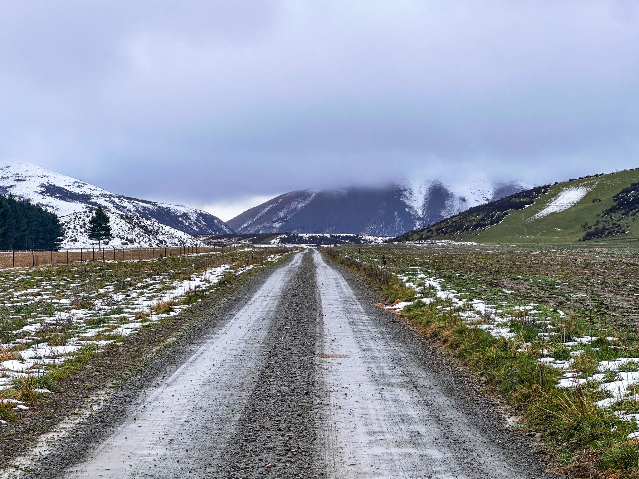
From State 85 between Becks and Hills Creek, take gravel St Bathans Loop Road northwest towards St Bathans. After 5 km, Fiddlers Flat Road heads north to Falls Dam for about 7 km. This road is also gravel but a bit rougher, especially on the steeper final stretch to the dam. A 2WD will generally be adequate, but it can be snowy and ice-affected.
Other nearby places to visit include St Bathans, Oturehua, Golden Progress, Idaburn Dam, and Hayes Engineering Works.