Explore Lower Manorburn
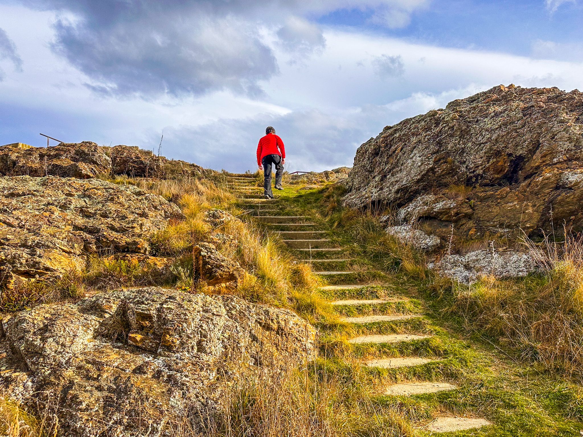
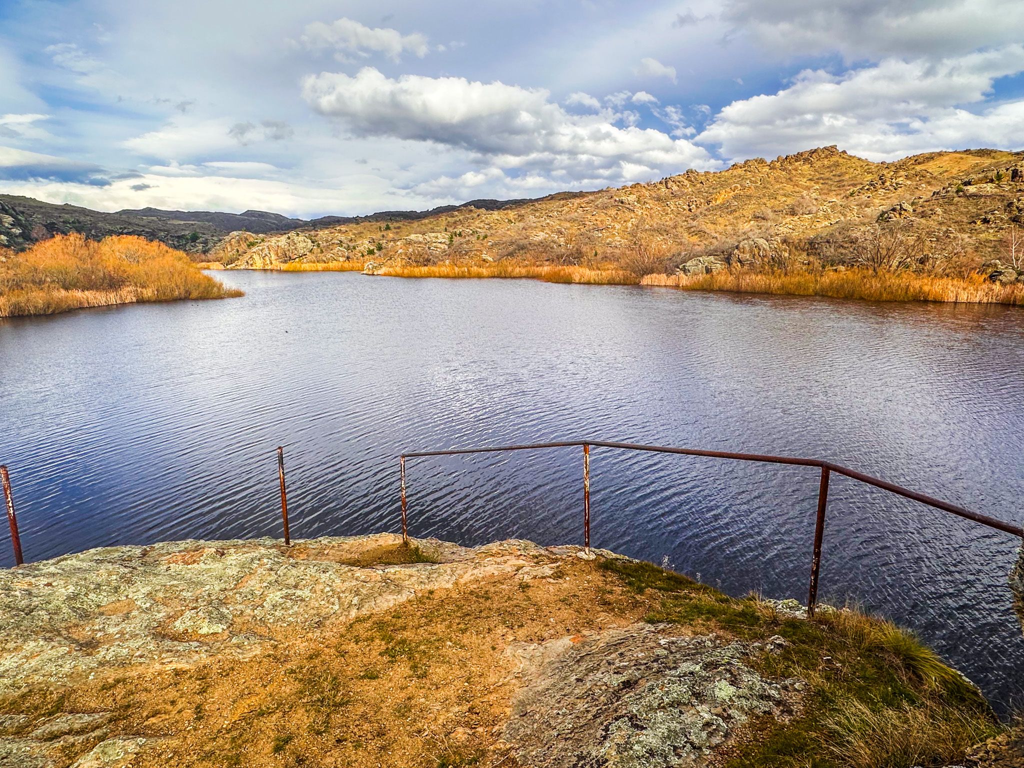
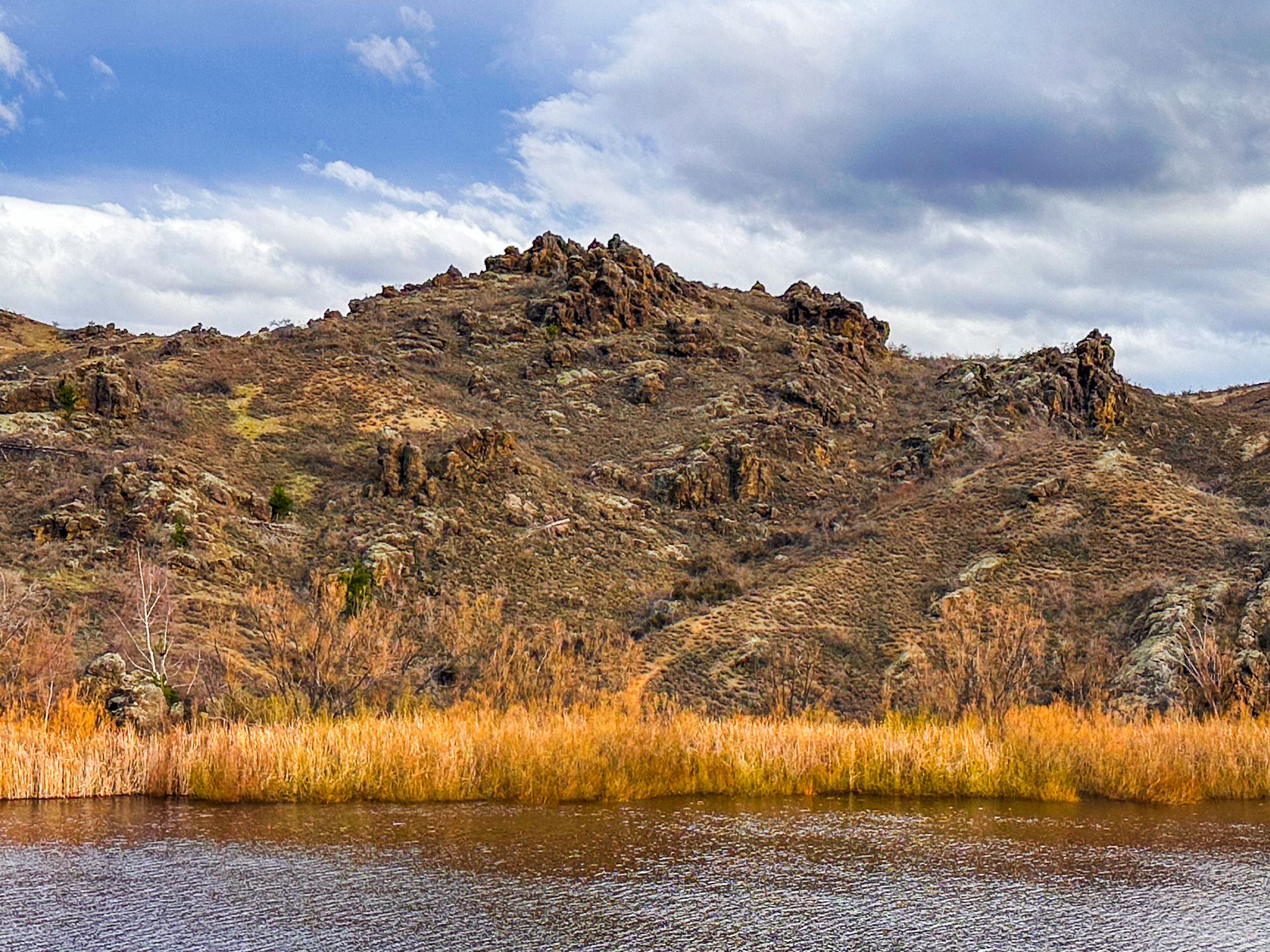
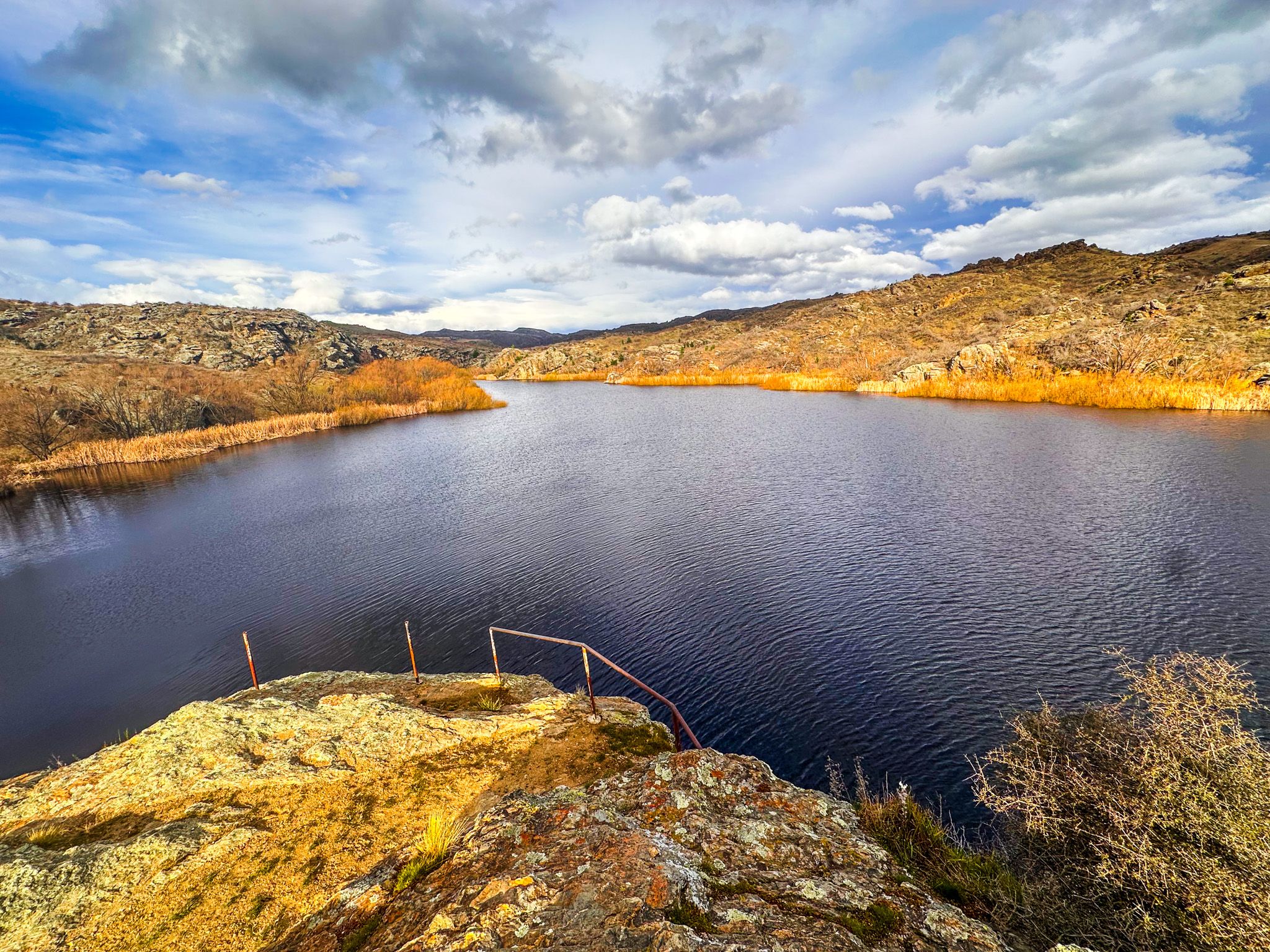
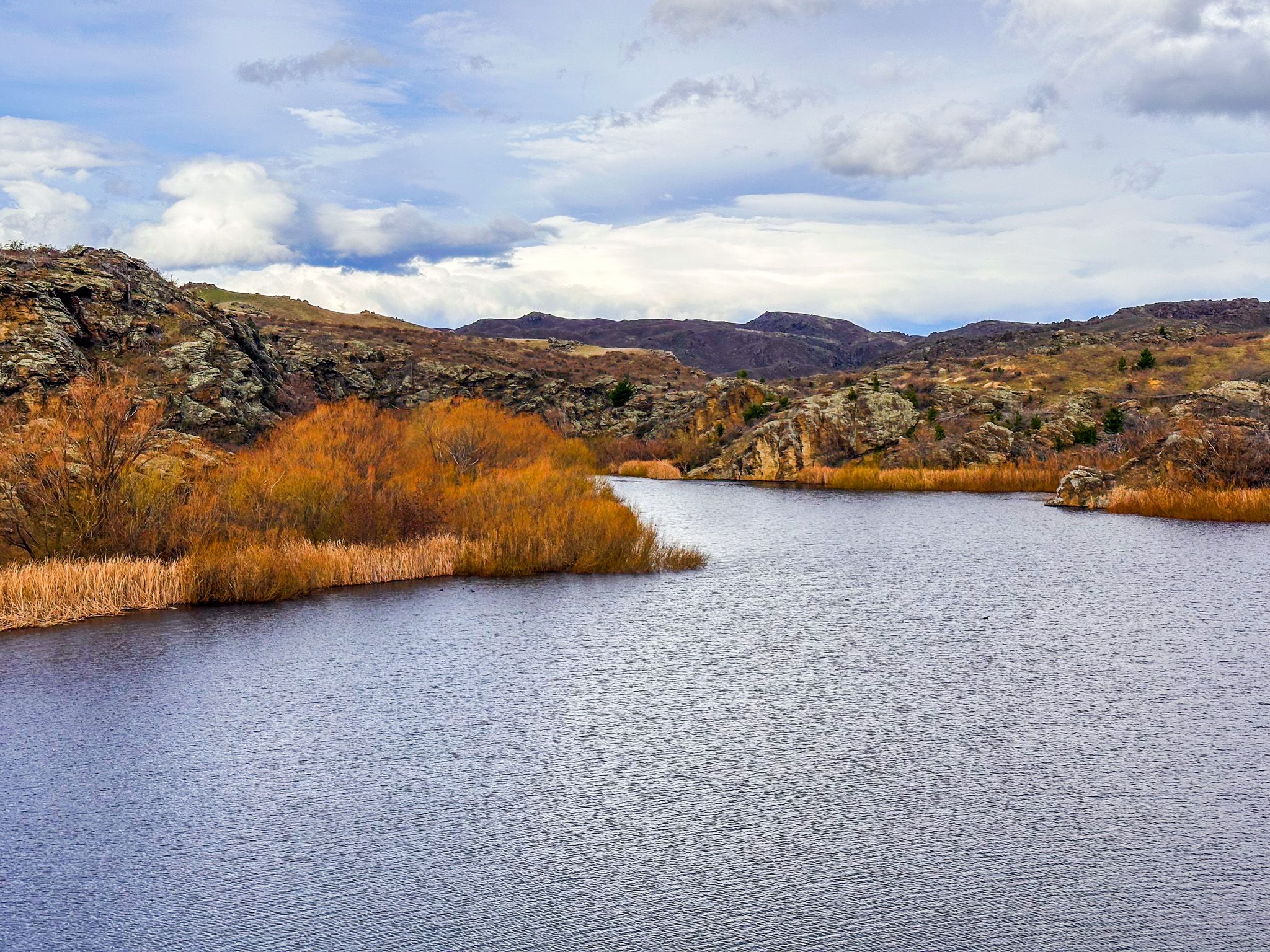
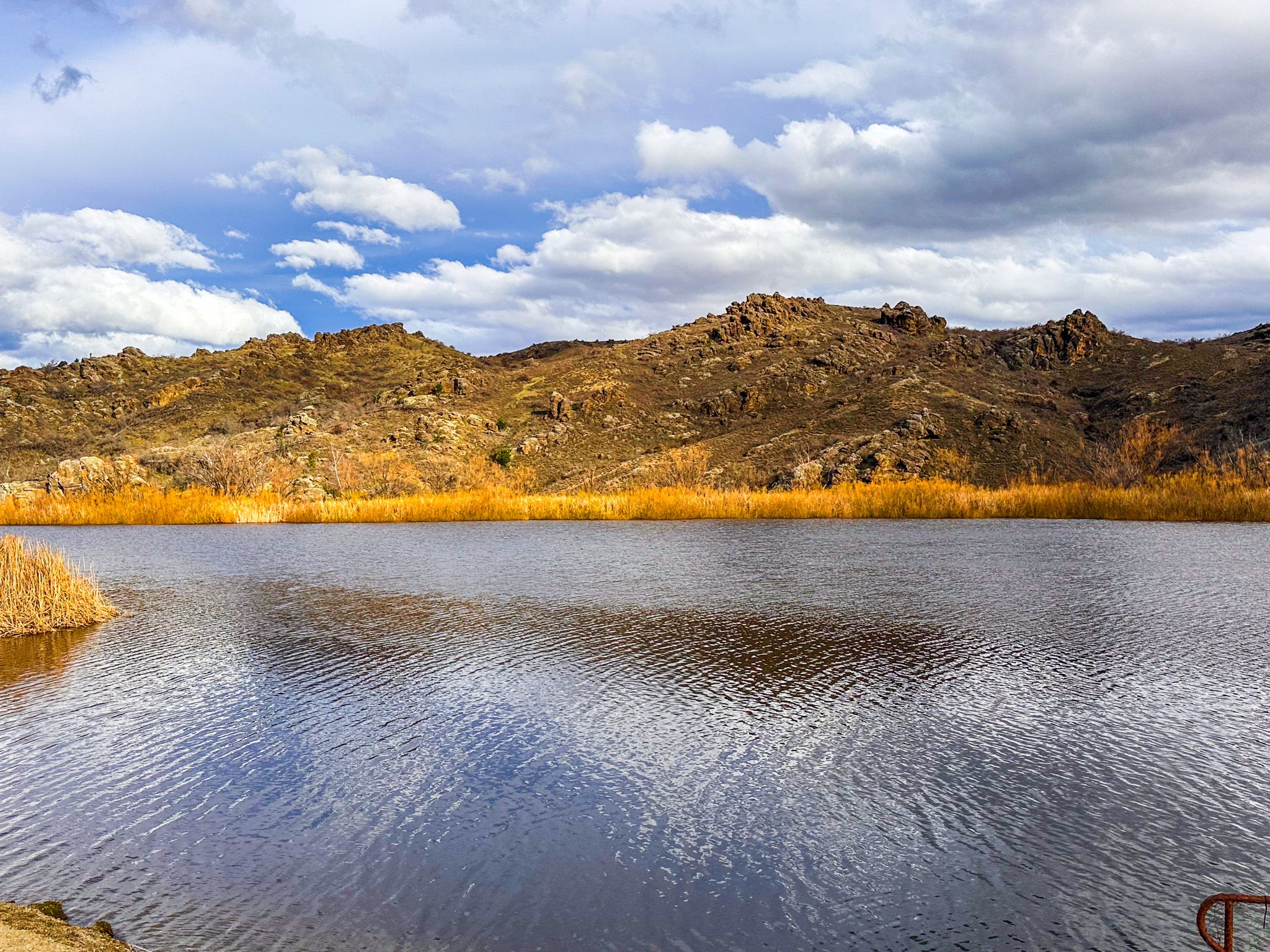
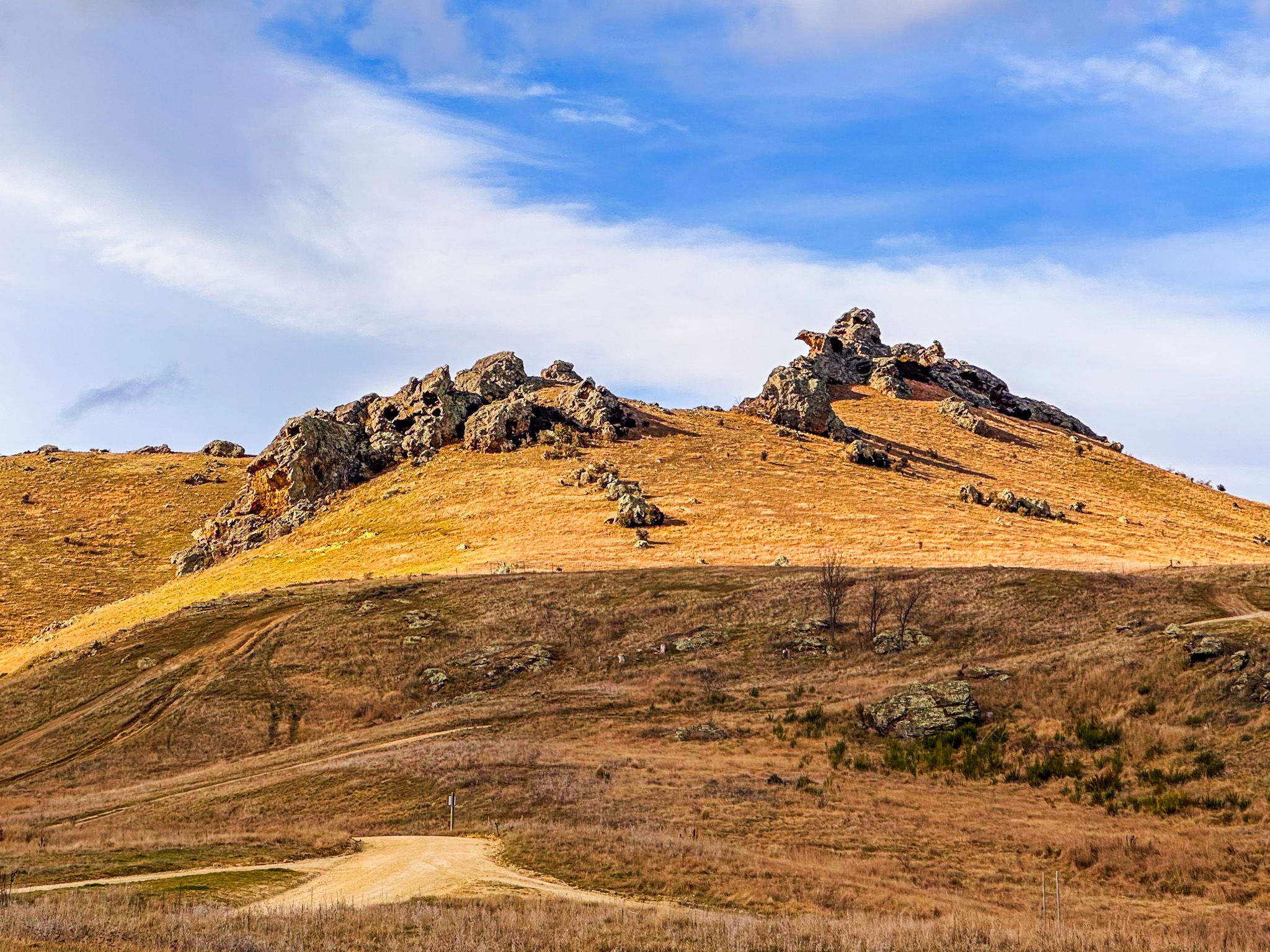
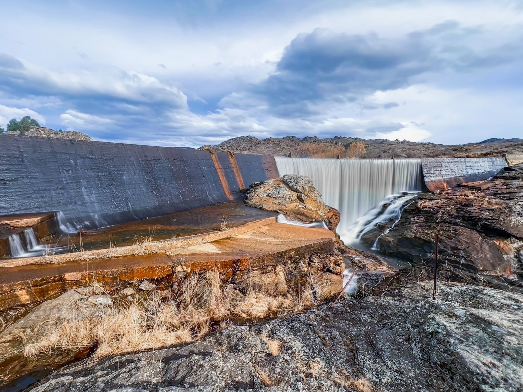
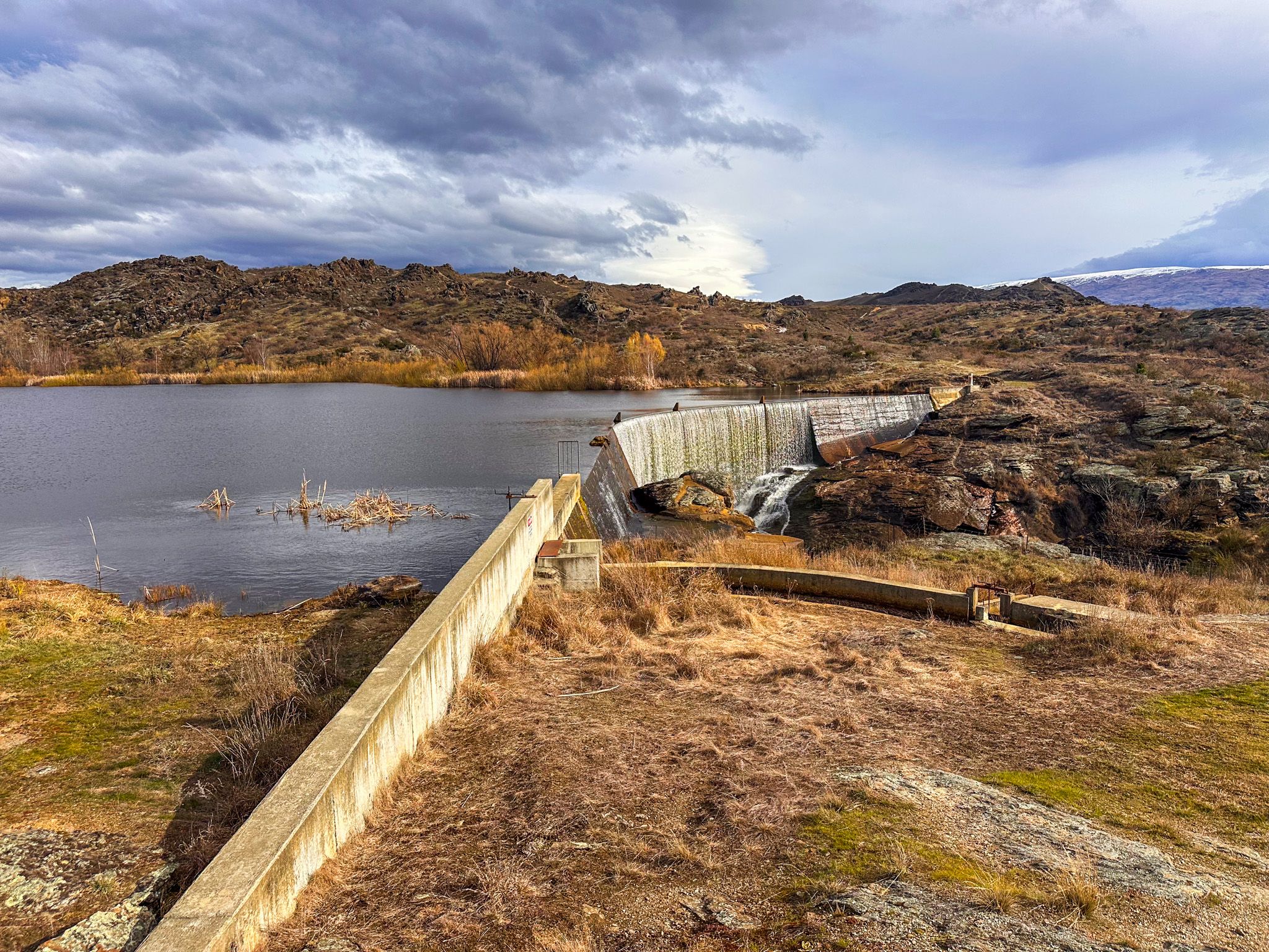
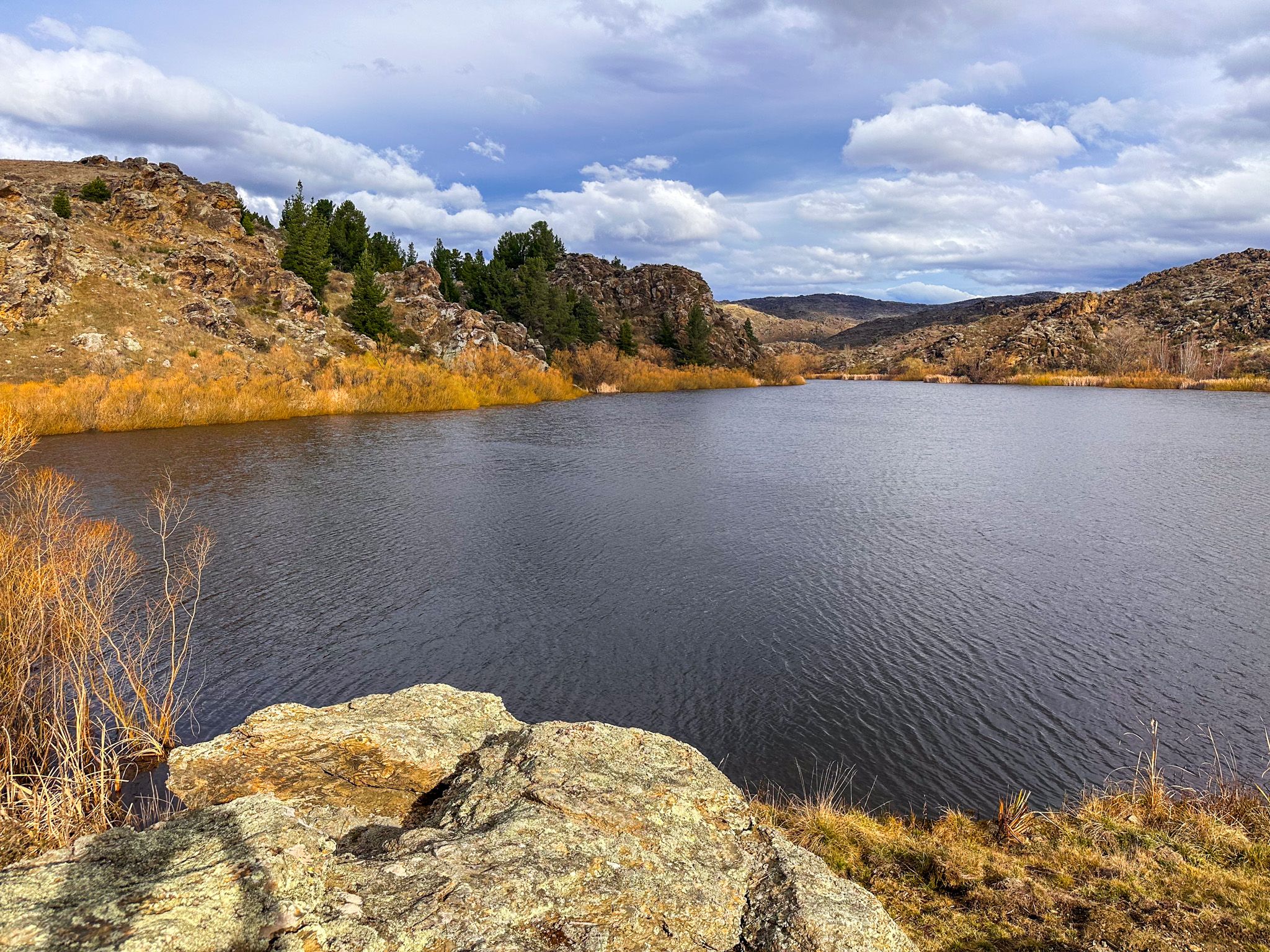
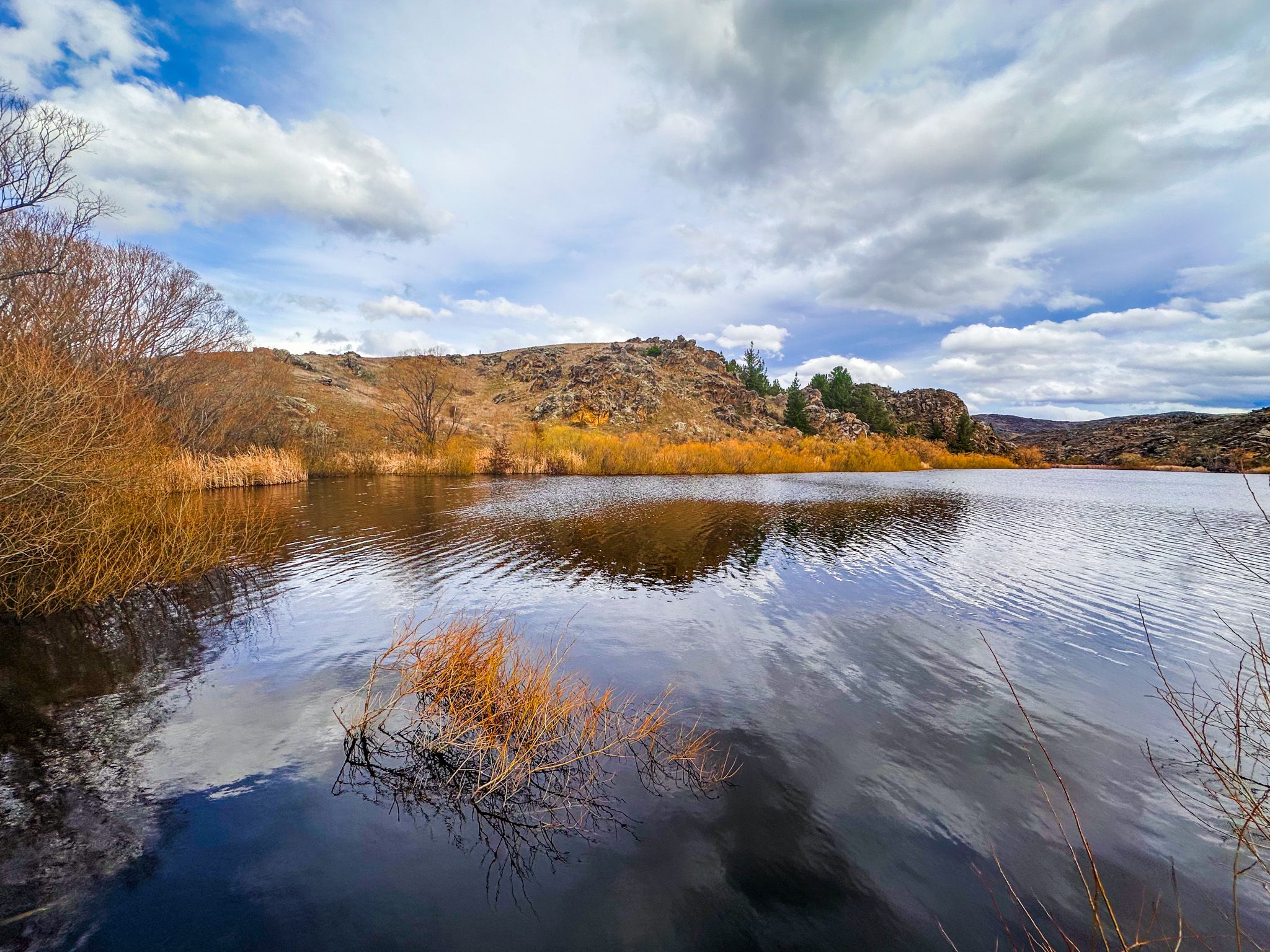
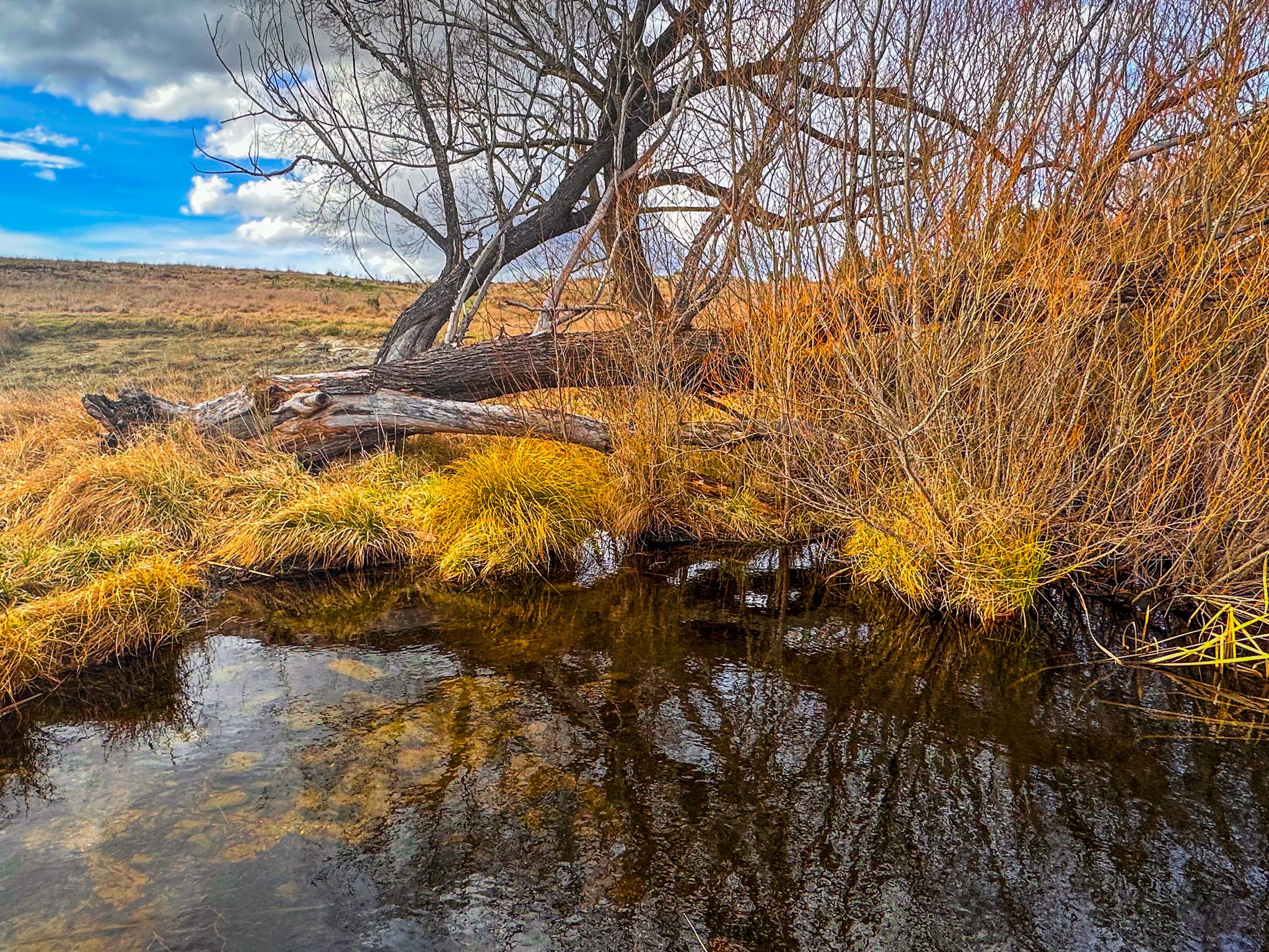
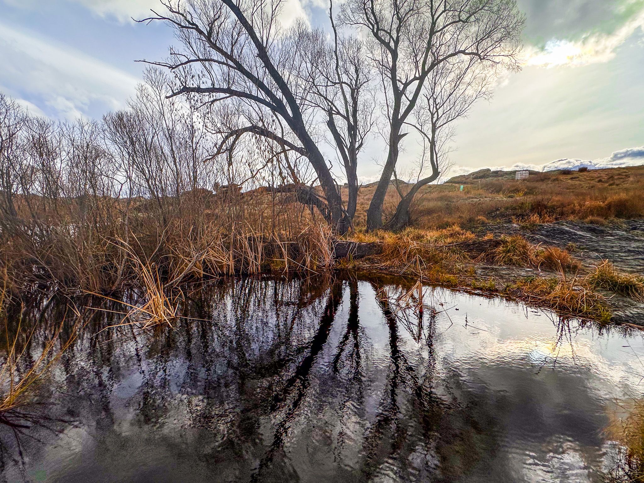
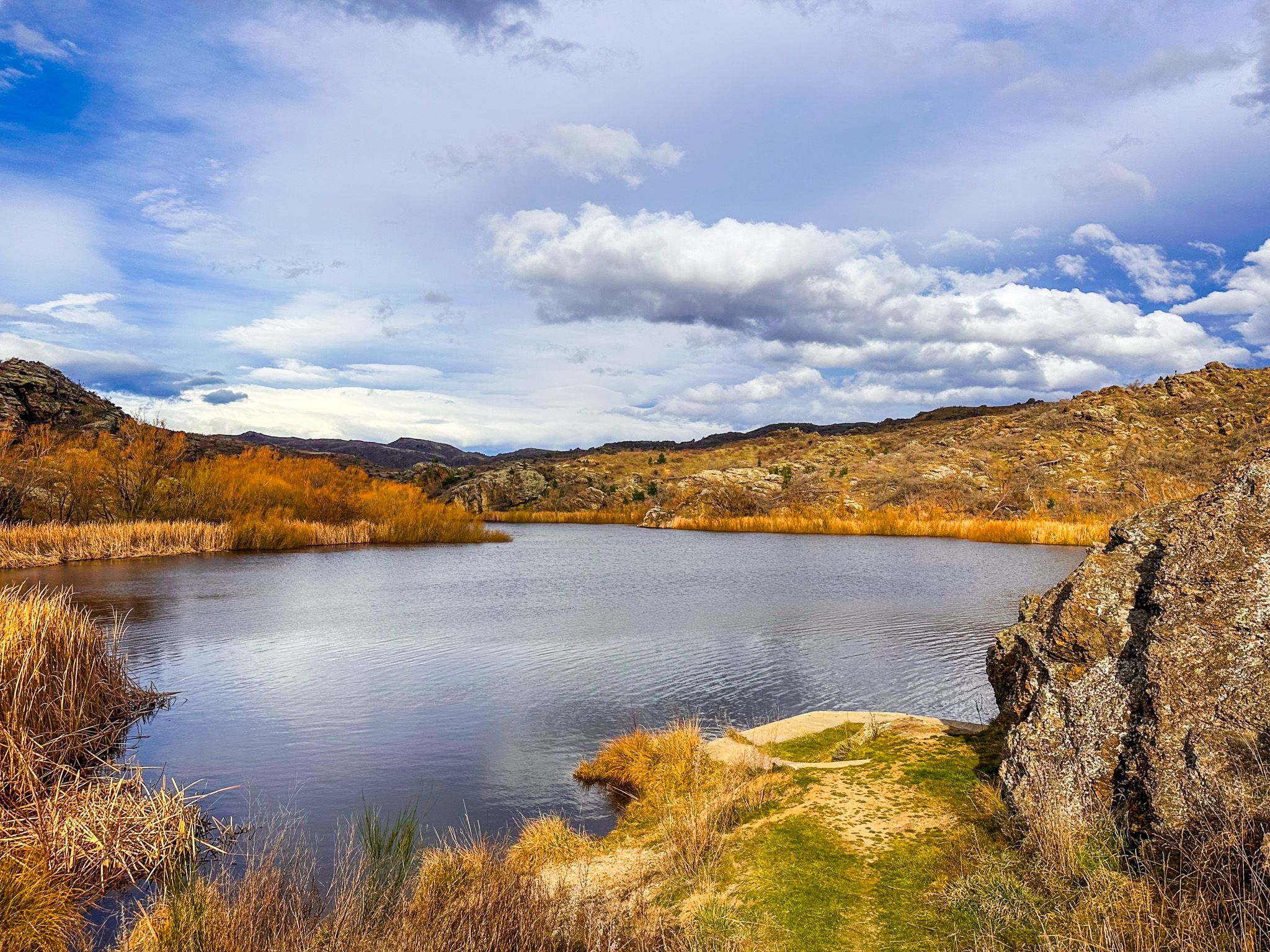
Northeast of Alexandra, on the edge of the Raggedy Range and the Manuherikia Valley, you can discover the Lower Manorburn Dam and reservoir. The dam is interesting, sitting between large schist rock outcrops, with a series of waterfalls as it overflows. You can also drive around a hill above the dam, down to a reserve next to the reservoir. There is a large picnic area, a rocky outcrop with virtually nonexistent safety rails, and space to wander the adjacent golden hills and rock formations.
This area provides insight into how dry Central Otago was transformed by clever water engineering. It is also an option for water activities and fishing for brown trout.


Depression-Era Irrigation Schemes
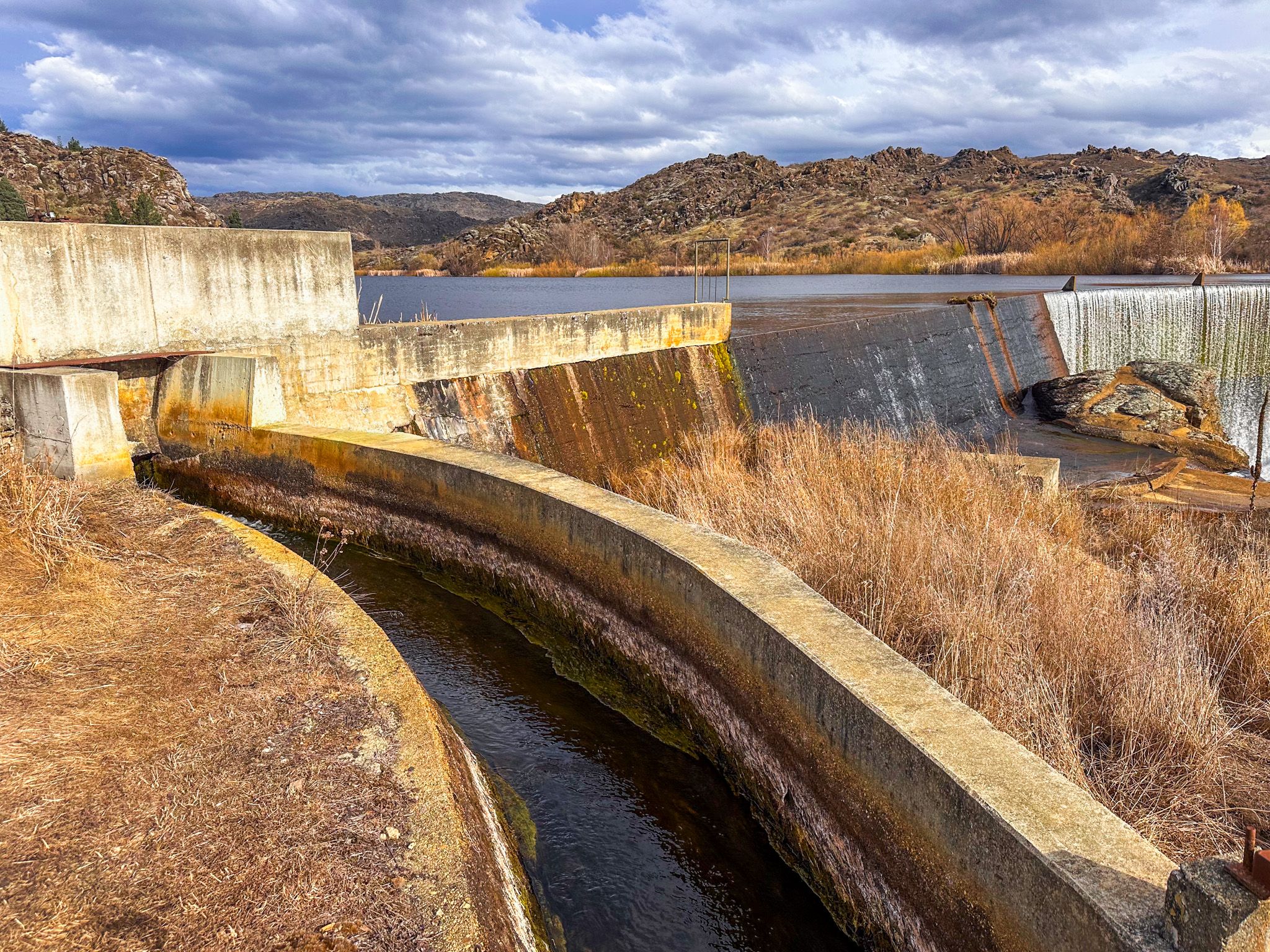
The Lower Manorburn Dam, a curved concrete arch built in 1934, captures water from Manor Burn, which flows through a series of deep gorges from the Upper Manorburn Reservoir, high up on Rough Ridge. At the same time the reservoir was built, the Galloway Scheme began piping and channelling water from the reservoir across ridgelines and into dry farmland. In the 1950s, pumps were installed to lift water from the Manuherikia River itself, supplementing the natural flows along the Manor Burn.
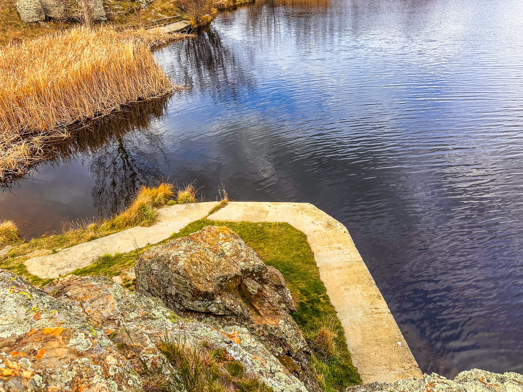
These systems were cobbled together from mining-era water races, water rights, and community effort. Today, the surrounding area is made up of green farms, supported by water captured within the reservoir. Spot the concrete gates, channels, and race markers associated with the scheme, with some right next to the dam.
How to Get There
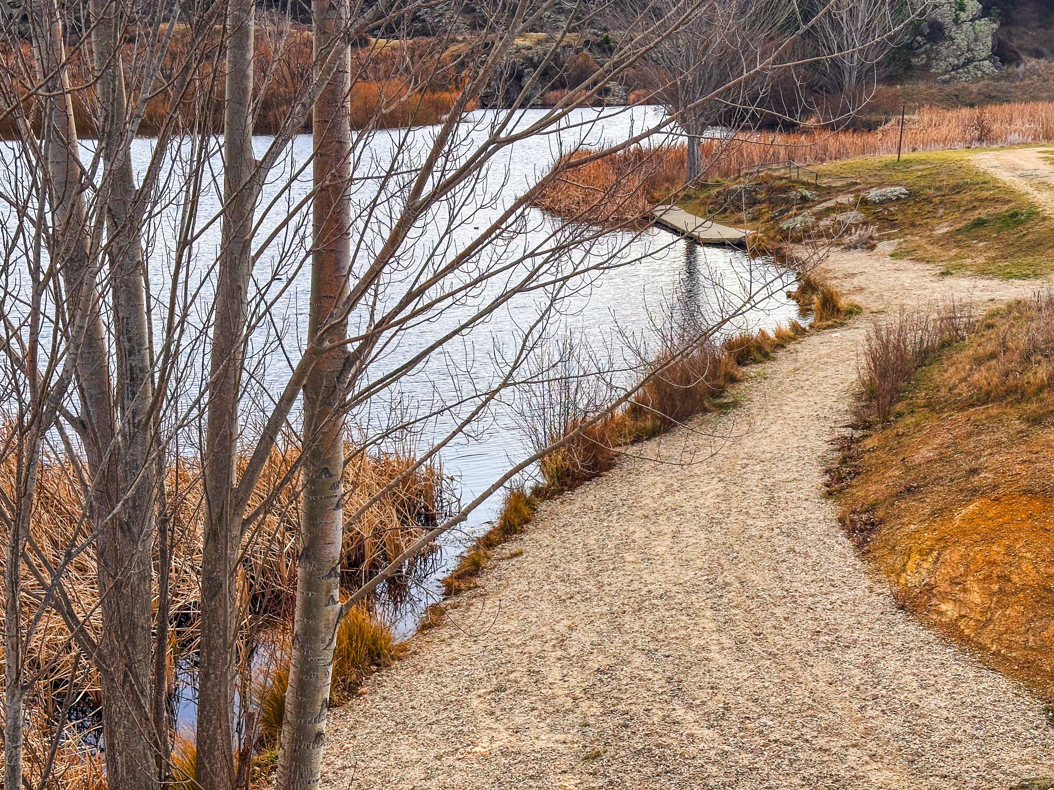
From Alexandra, take State Highway 85 a short distance northeast of Alexandra, then take Galloway Road, followed by a right turn onto Lower Manorburn Dam Road. Follow this road until you see the dam, with some parking in a reserve above the dam. Continue on the road to a larger reserve next to the reservoir.
Nearby places to visit include Clyde, Ōmakau, Ophir and the Ida Valley.