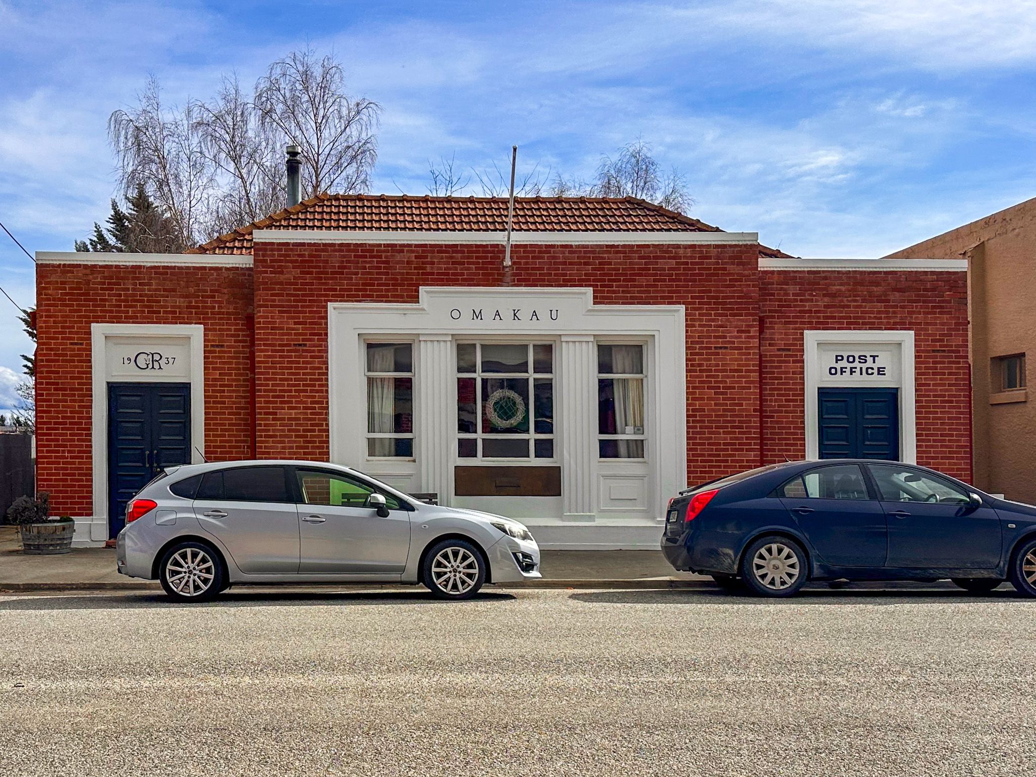
Ōmakau: Gold-Rush Hub Turned Trail Town
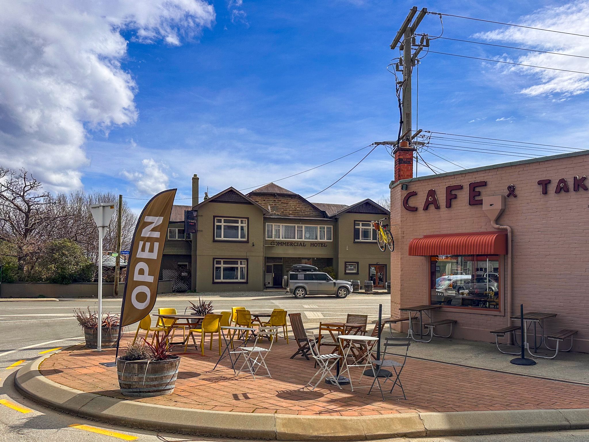
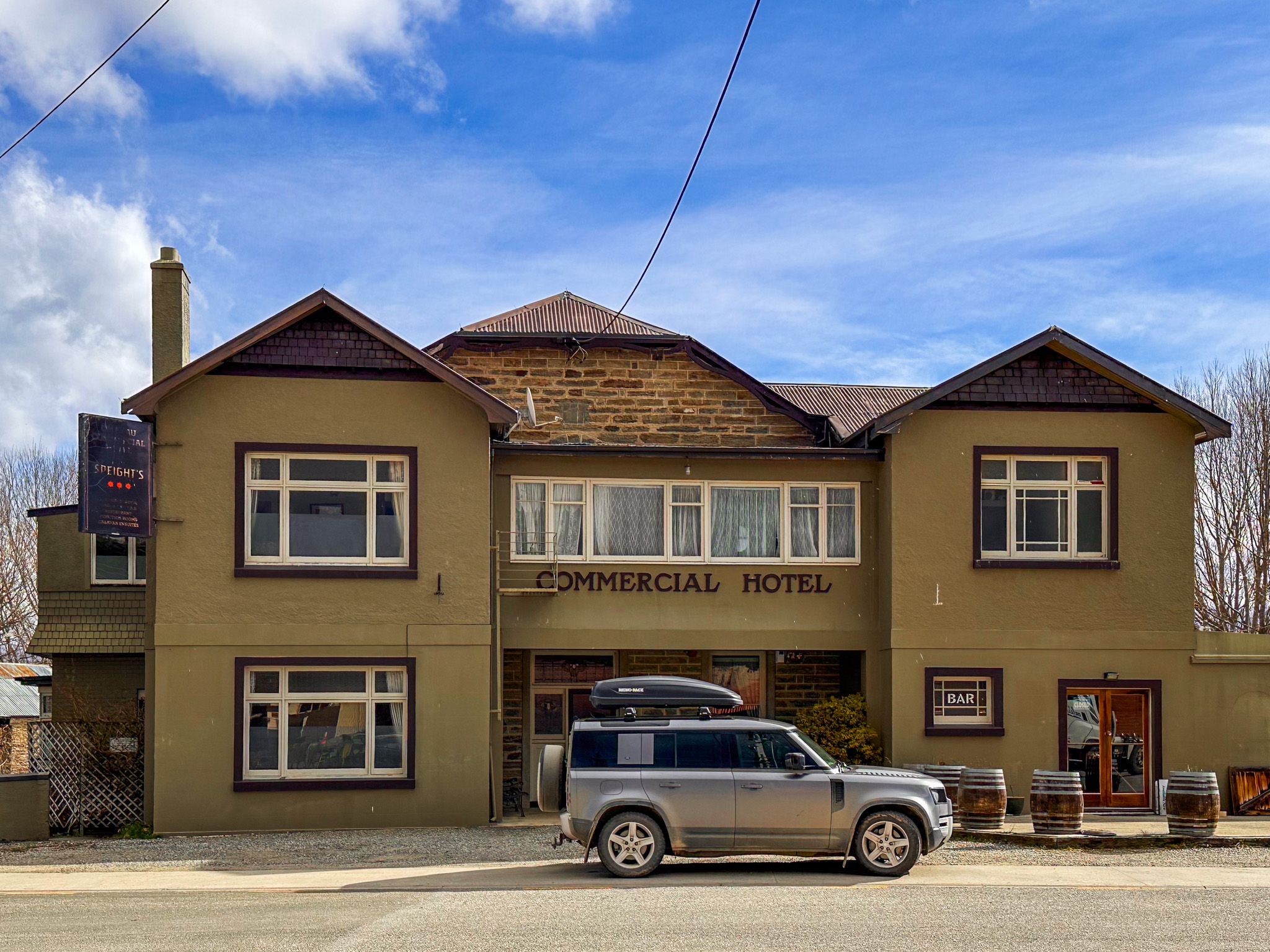
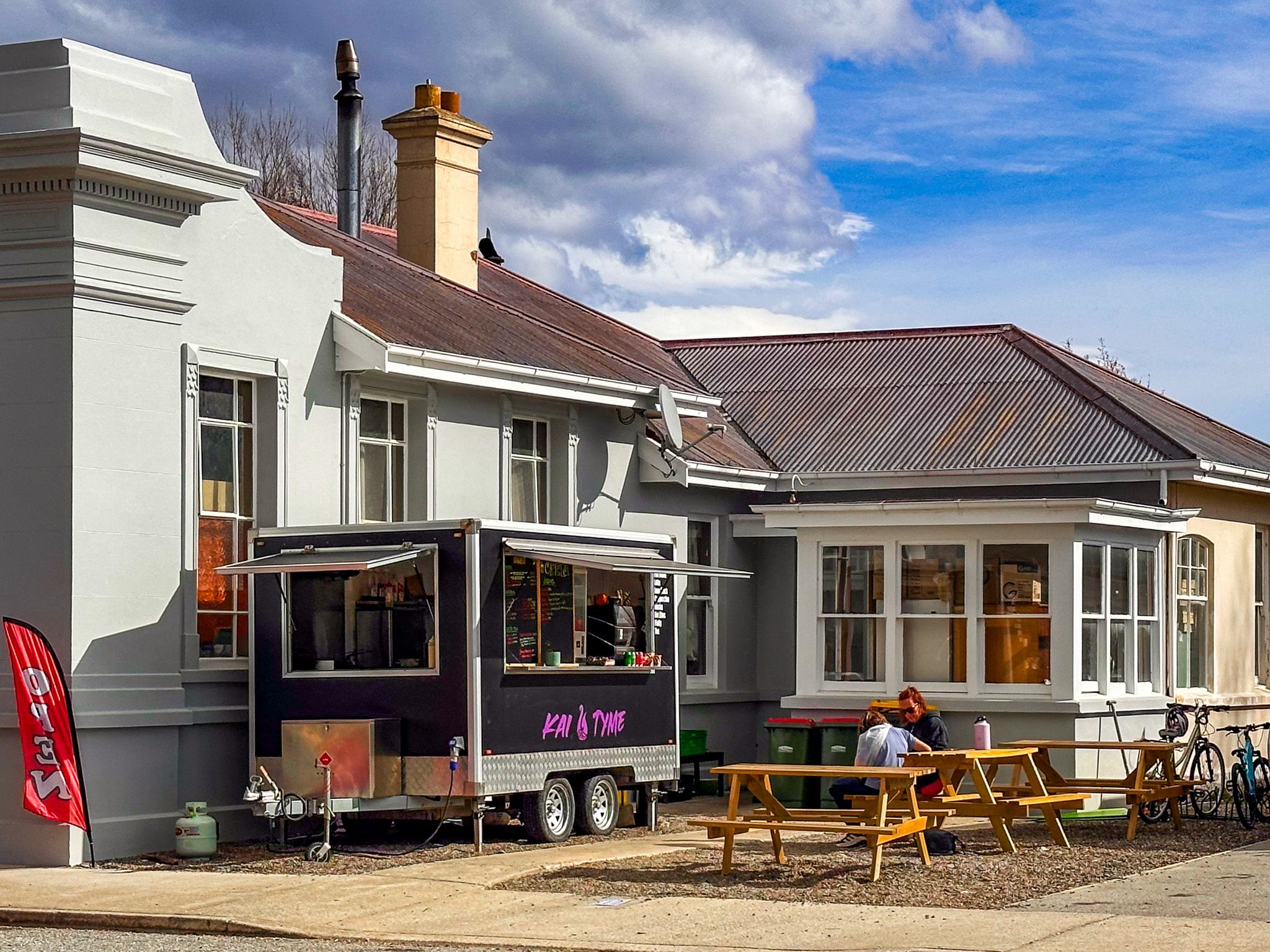
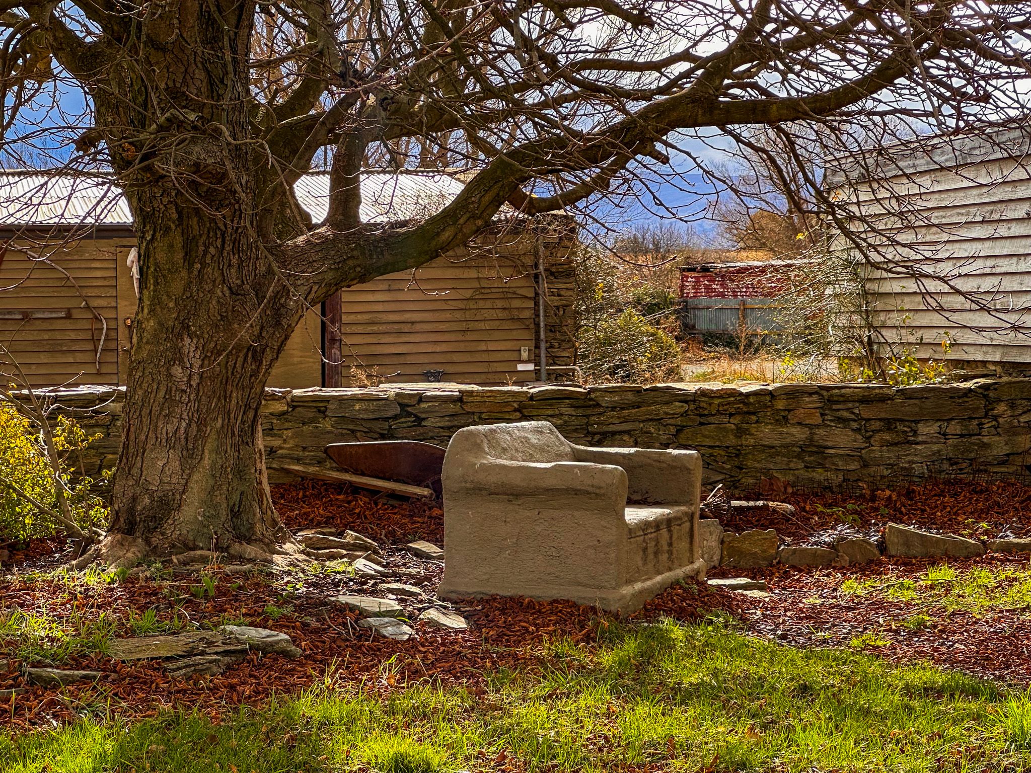
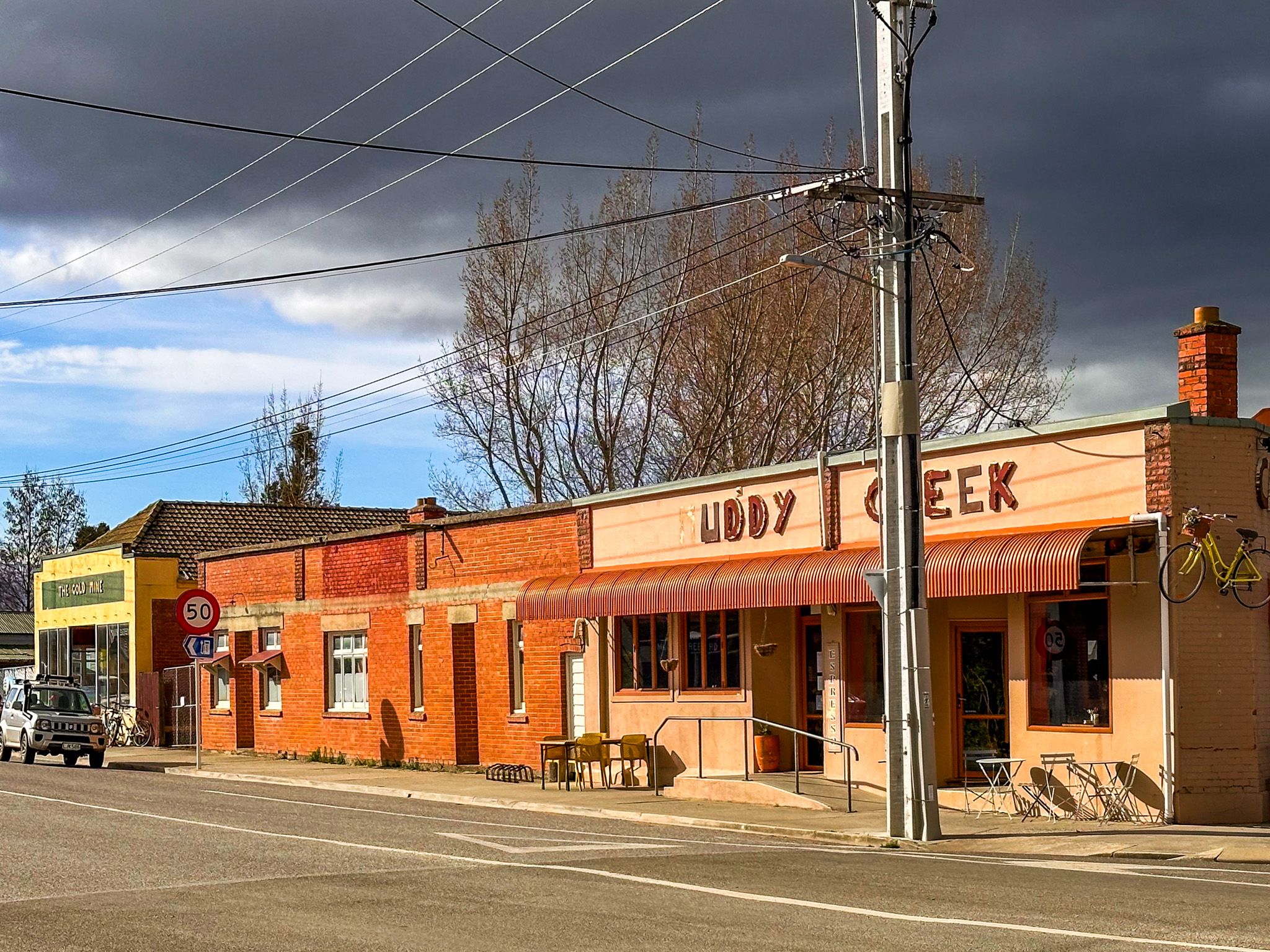
Set where tributary creeks meet the Manuherikia River, Ōmakau is a welcoming small historic town and popular hub for riders on the Otago Central Rail Trail, with cafes and accommodation. Located 15 minutes northeast of Alexandra on State Highway 85, it’s a springboard into the region’s gold, rail, and farming heritage.
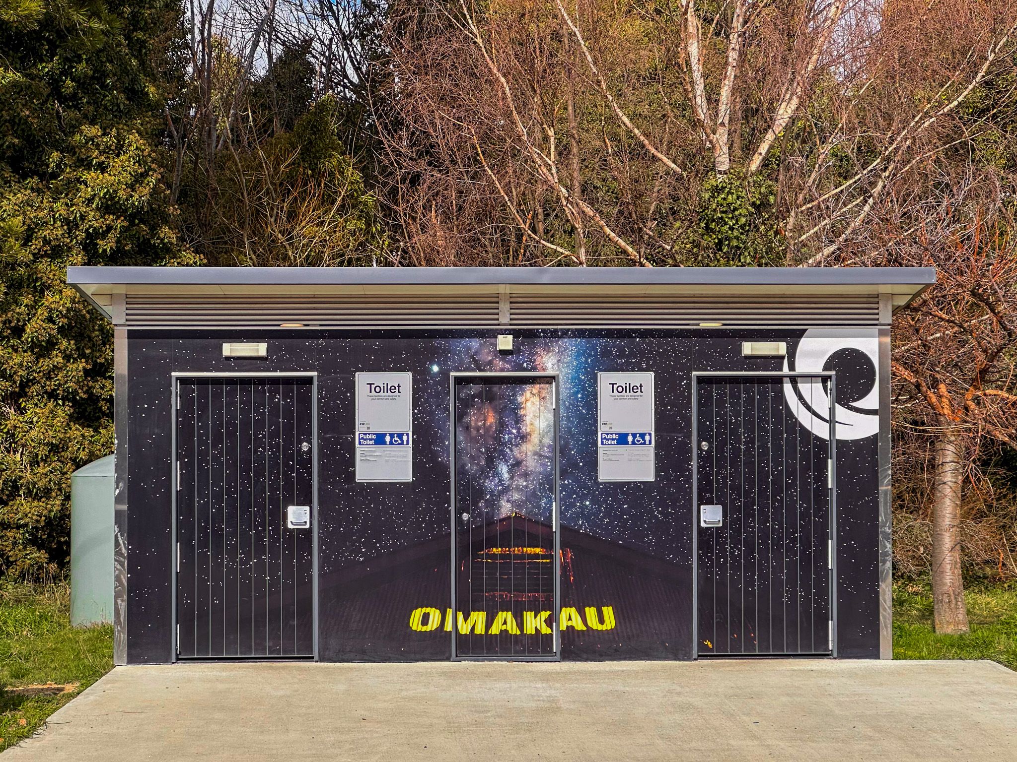
The town is also a self-proclaimed dark sky location, represented by a large celestial image on the side of the public toilets! It’s not an official designation, but the night skies are spectacular.
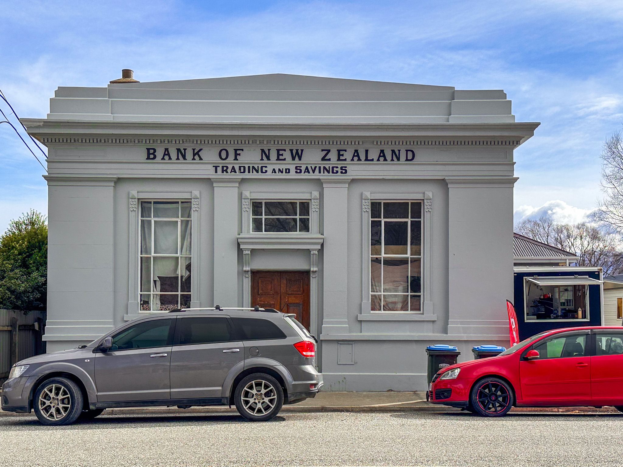
From Gold Rush to Rural Service Town
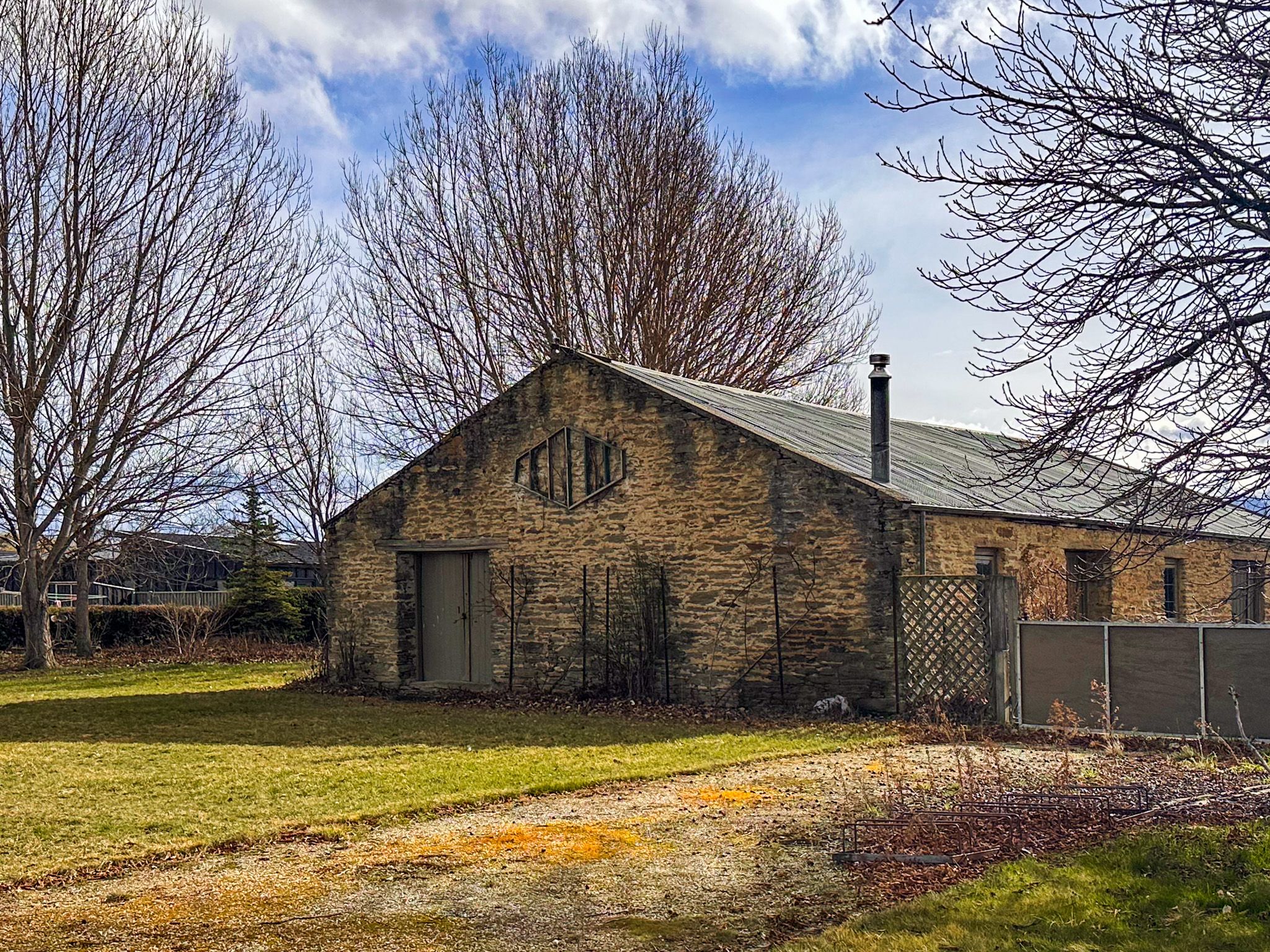
The town grew in the 1860s as a supply base for gold miners working the local creeks. Its name derives from Ōmakau, meaning "belonging to husband and wife". It is also said locally to commemorate a Kāti Mamoe chief named Makau.
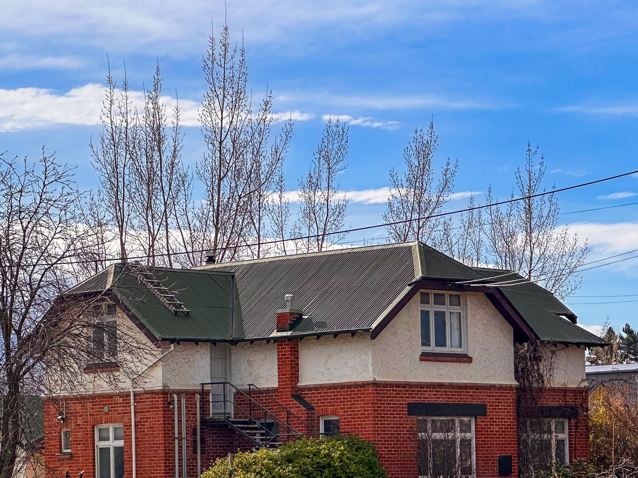
Ōmakau transitioned from a mining centre to a rural service town by the early 1900s, boosted by rail and irrigation. The 1930s saw the construction of new water races and farming infrastructure, which supported sheep farms and crop paddocks.
Valley and Mountain Views
The nearby Manuherikia River winds across gravel beds and terraces, joined by tributaries such as Thomsons and Chatto Creeks. From the highway, the drive between Chatto Creek and Ōmakau is particularly spectacular, with hills topped by schist rock formations and the road crossing higher elevations, with views across the valley to the St Bathans Range and Hawkdun Range.
How to Get There
Drive northeast from Alexandra on State Highway H85 to reach Ōmakau in about 15 minutes. From there, you can also access the Ida Valley on Ida Valley Omakau Road, over the Raggedy Range, while Ophir is just a short drive on the south side of the Manuherikia River.
Other nearby places to include Falls Dam, St Bathans and Lower Manorburn Reservoir.