Discover Wenderholm Regional Park
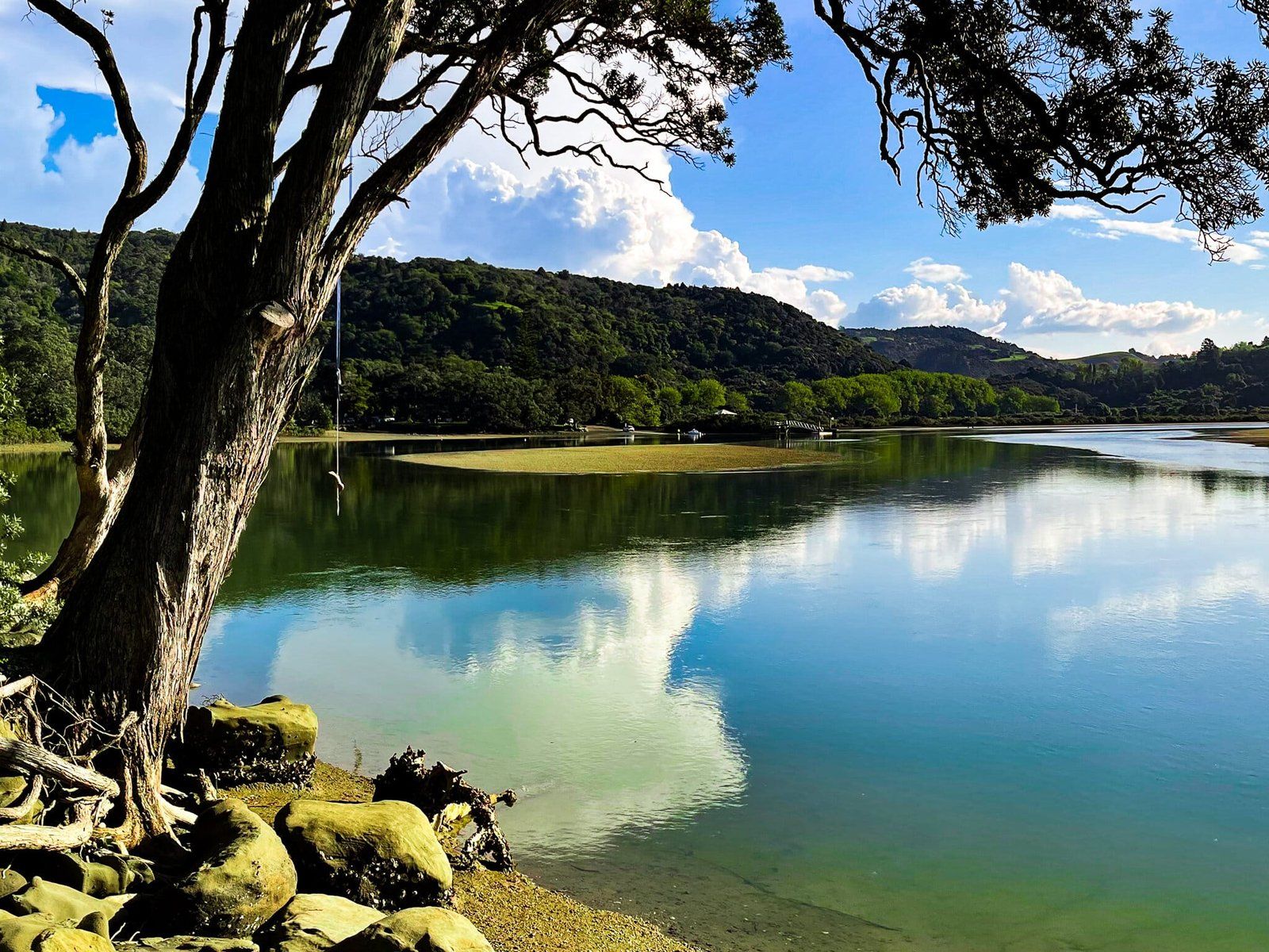
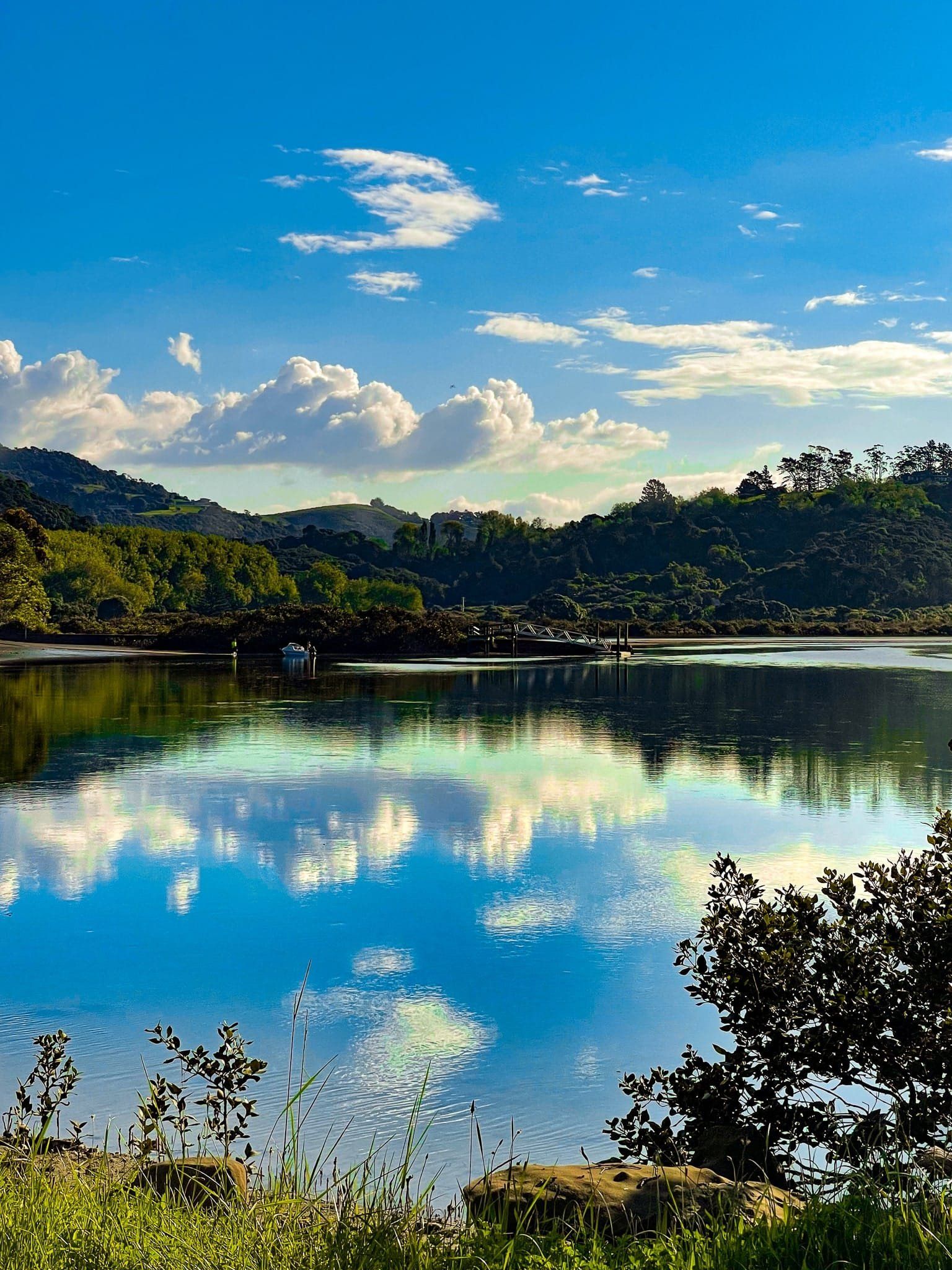
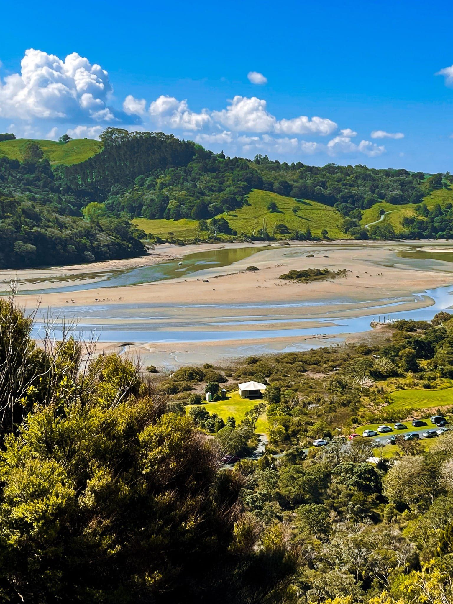
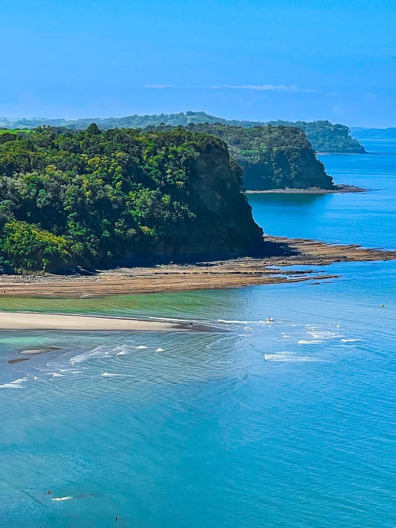
Located in northern Auckland on the Hibiscus Coast, Wenderholm Regional Park is a captivating destination for nature enthusiasts and history buffs. It was the first of Auckland's 28 regional parks and is situated between the Puhoi and Waiwera Rivers. The park's landscape is dominated by Maungatauhoro, a high hill with a striking sea-facing cliff, and Te Akeake spit, which extends north of the hill. Te Araroa also runs through the park.
Natural Beauty and Recreation
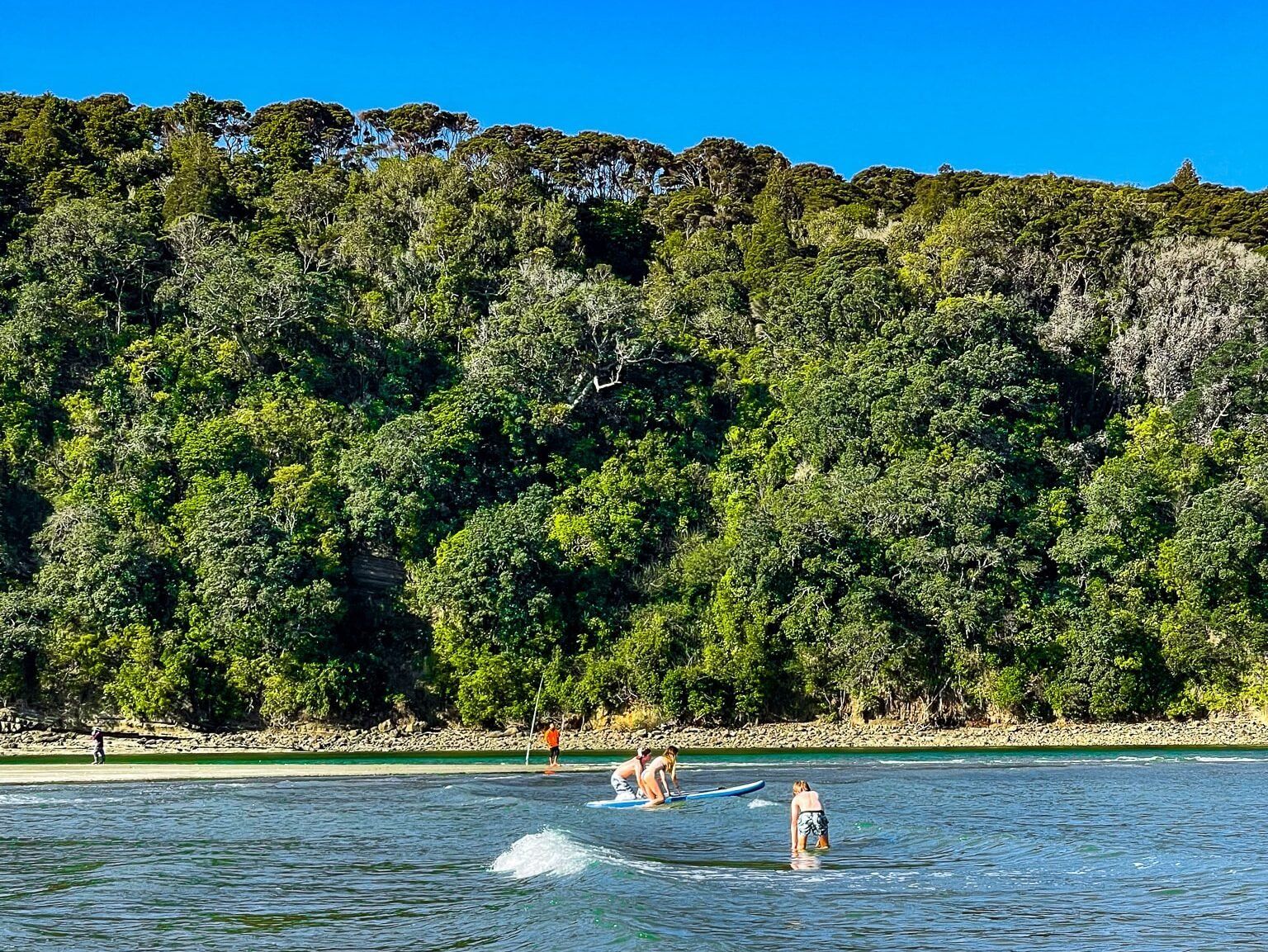
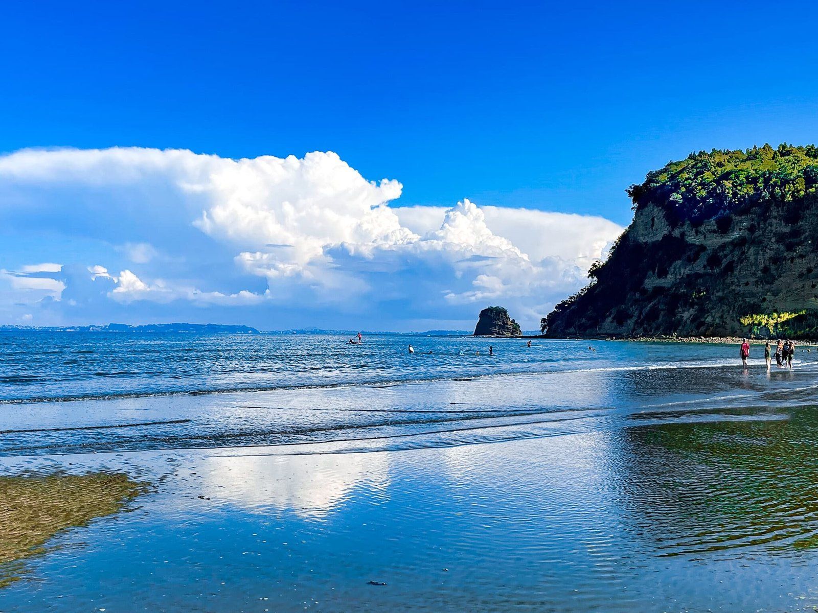
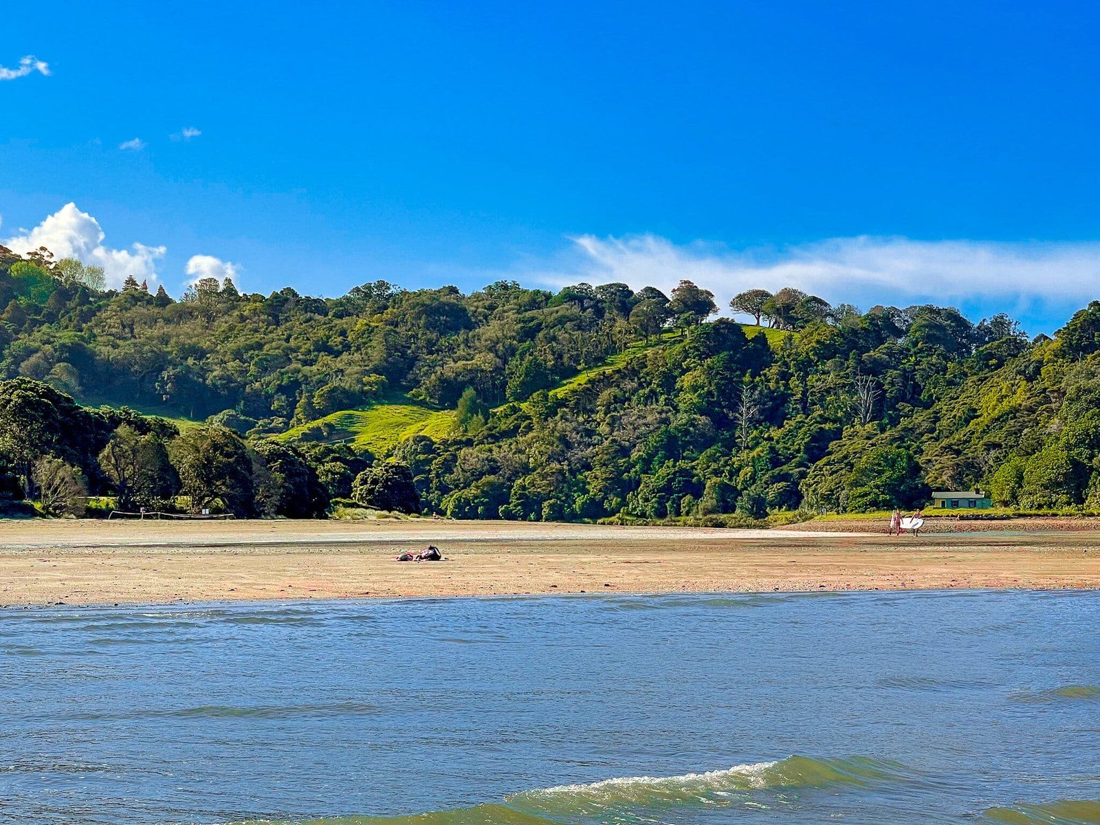
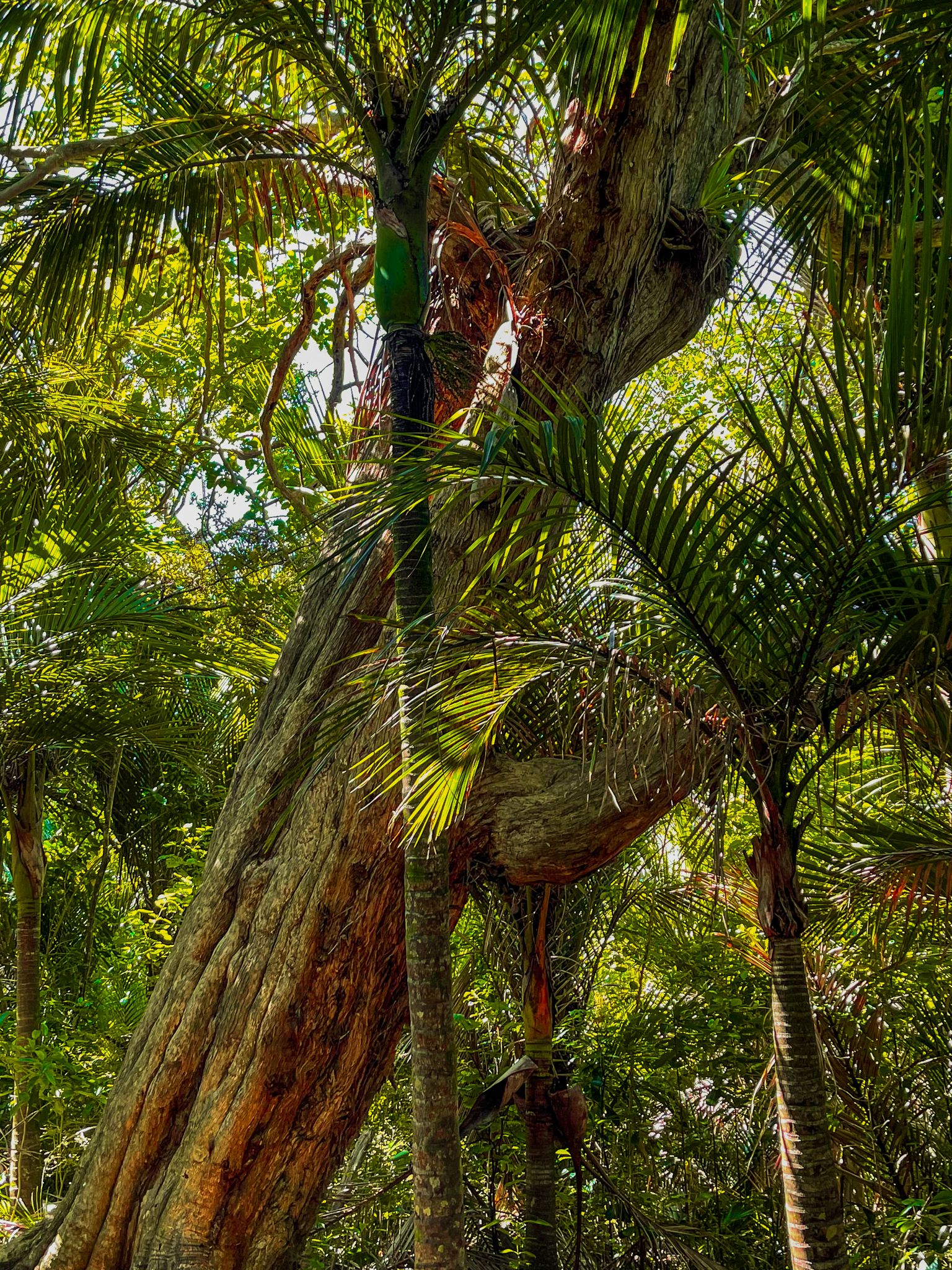
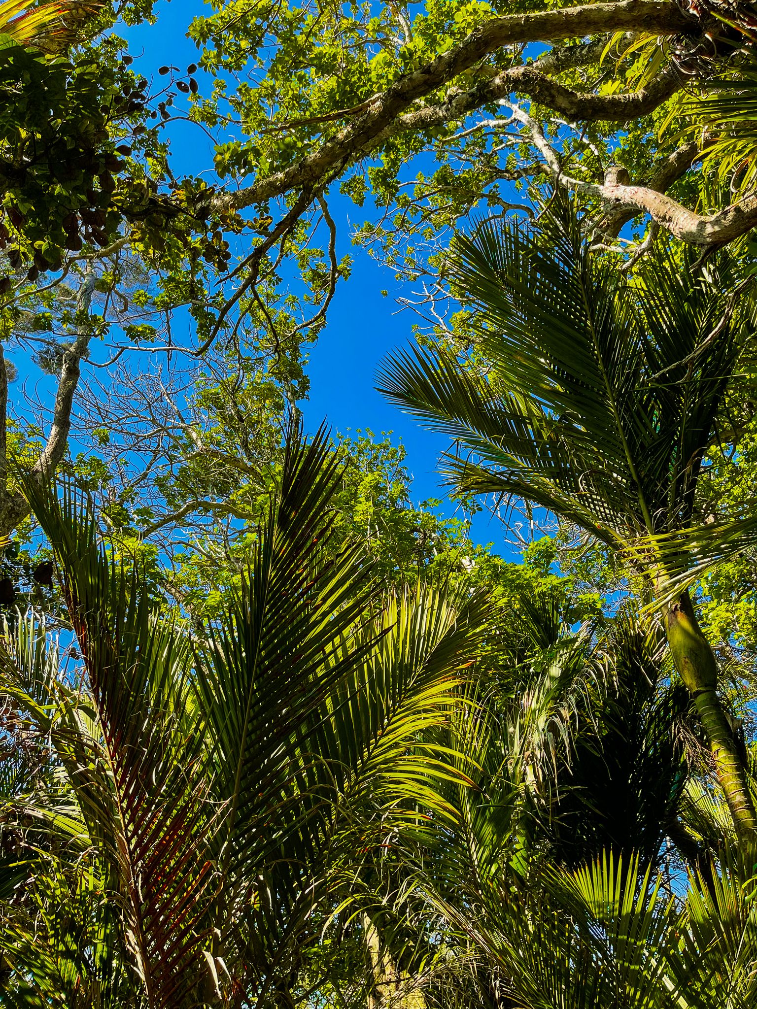
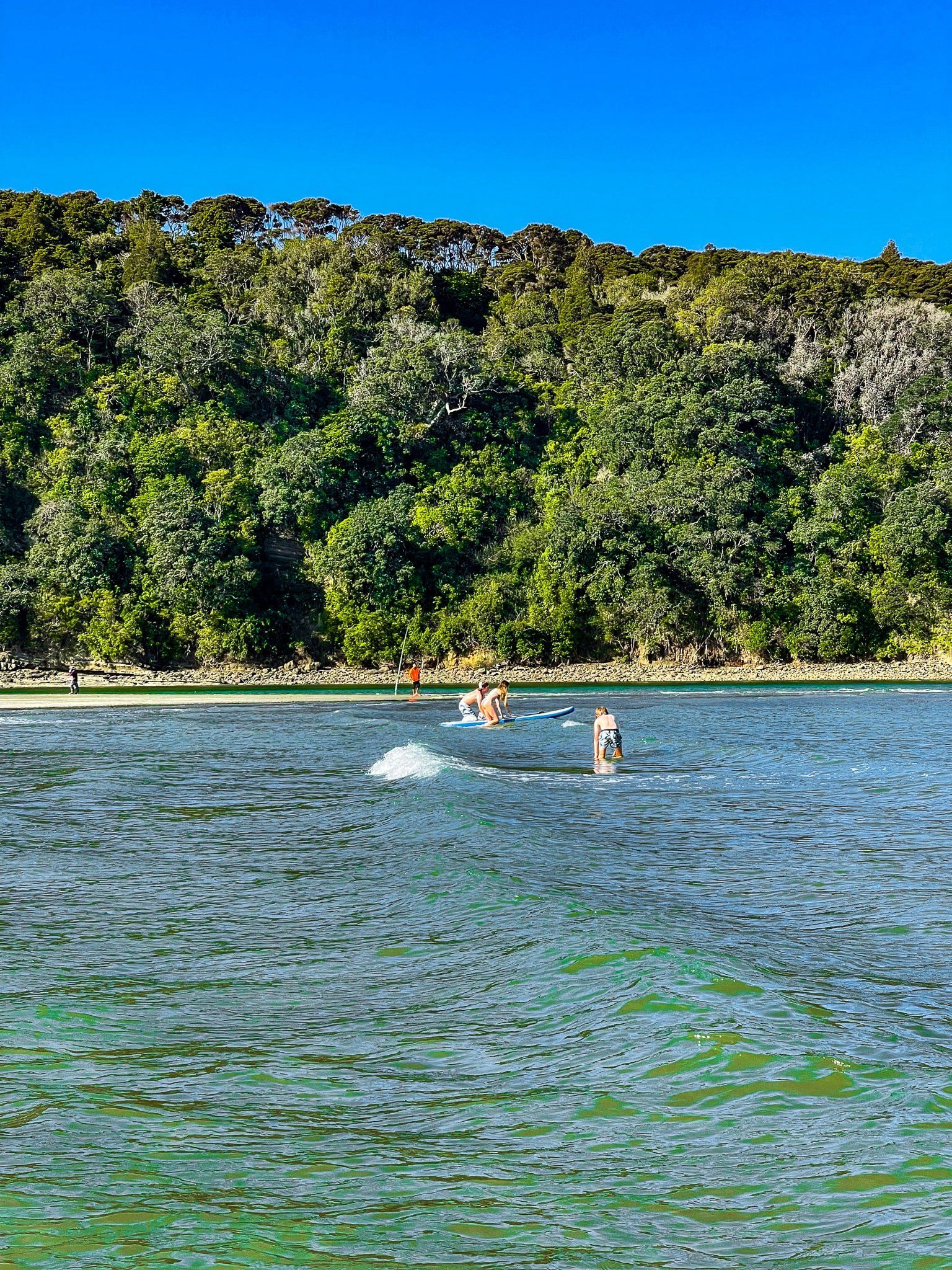
Maungatauhoro is largely covered in both established and regenerating native forest, providing a lush backdrop for exploration. Te Akeake Spit, primarily grass-covered and dotted with pōhutukawa trees, is ideal for picnics and barbecues. The beach on the east side of the spit is generally safe for swimming, although caution is advised near the mouth of the Puhoi River.
There is also a campground on the southwest side of the park.
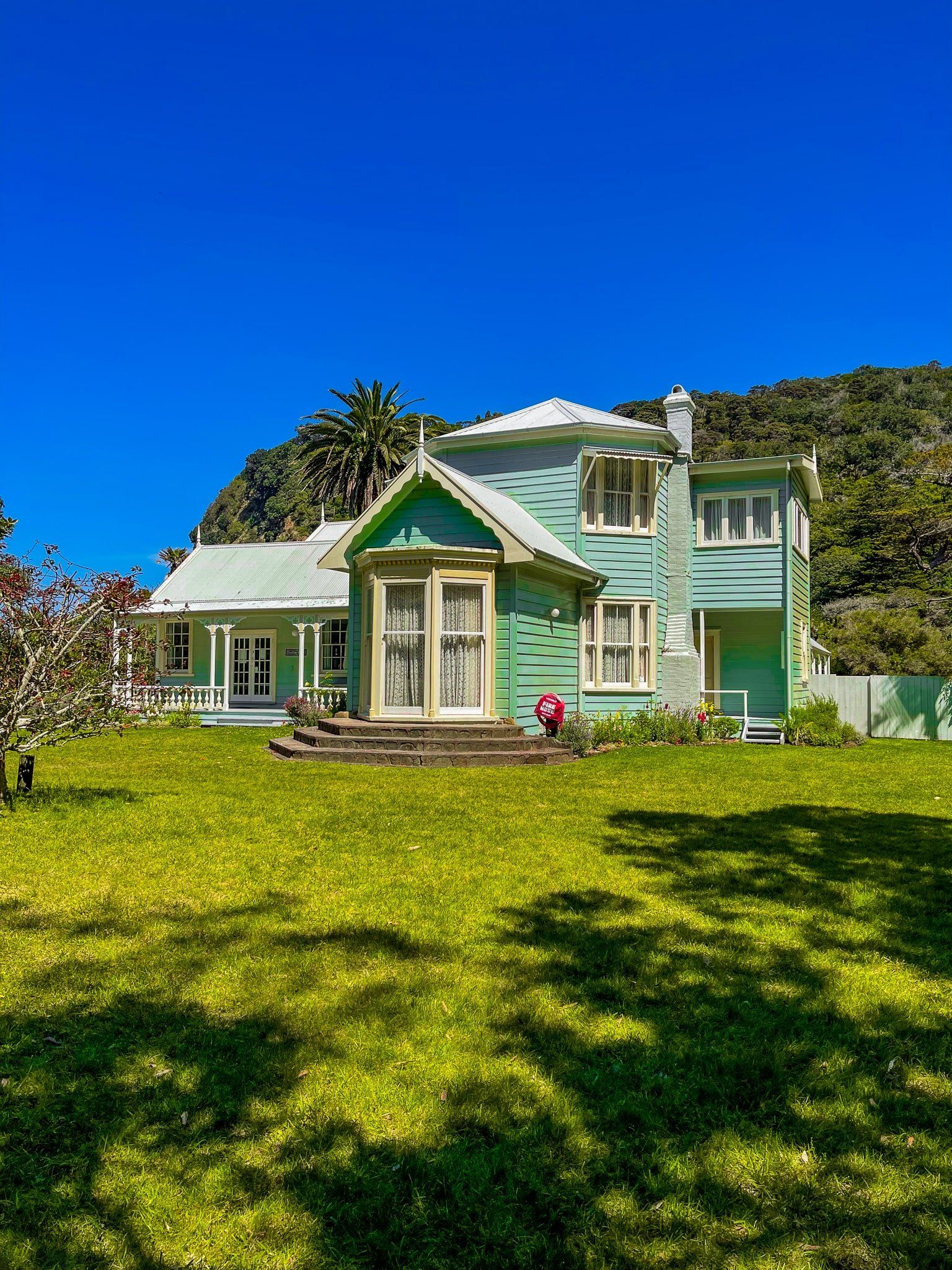
Historic Couldrey House
At the southern end of the spit, you'll find the historic Couldrey House, surrounded by gardens featuring a mix of exotic and native trees, including pōhutukawa. If you're interested in exploring the interior of the house, be sure to check its opening times.
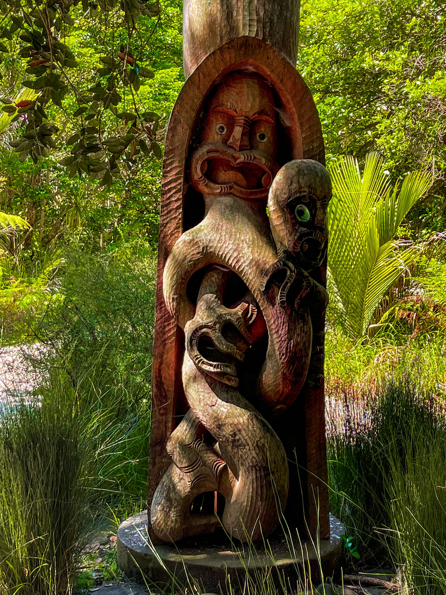
A Rich Cultural History
The area has been occupied by Māori since the 1300s, with a defensive pā once located atop Maungatauhoro. In the 1840s, the land was sold to Robert Graham, an early Auckland settler and businessman, who named it Wenderholm, meaning 'winter home' in Swedish. Over the years, the original house was modified and expanded by various owners, with the Couldrey family being the last private owners before selling it to Auckland City in 1965.
Walking Tracks and Scenic Views
Wenderholm offers several walking tracks, including Te Hikoi, that traverse Maungatauhoro, providing stunning views to the north. Te Akeake Walk follows the spit beside the Puhoi River to its mouth, looping back via Wenderholm Beach. The longer of the tracks over Maungatauhoro is part of the Te Araroa trail.
Getting to Wenderholm Regional Park
To reach Wenderholm Regional Park, take the Auckland northern motorway, State Highway 1. From the Puhoi exit, head south on the Twin Coast Discovery Highway, or if you're coming from Orewa, travel north on the same highway.
Nearby, you can also explore the charming towns of Puhoi and Waiwera, each with its own attractions. Immediately to the north of Wenderholm and the Puhoi River mouth, just inside Mahurangi Harbour, is Mahurangi Regional Park West, with more beaches and walks.