Exploring Aotea Great Barrier Island
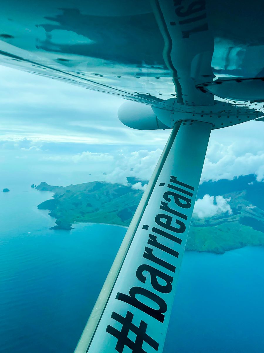
Aotea Great Barrier Island is situated in the outer Hauraki Gulf, about 100 km northeast of Downtown Auckland. As the sixth-largest island in the country, it spans 285 square km and has a wide range of diverse natural attractions: mountains, regenerating forests, surf beaches and harbours. With a small permanent population, it is a walk back in time. Aotea is a mere 30-minute flight from Auckland, making it an accessible destination for those seeking adventure and tranquillity.
Natural Beauty and Activities
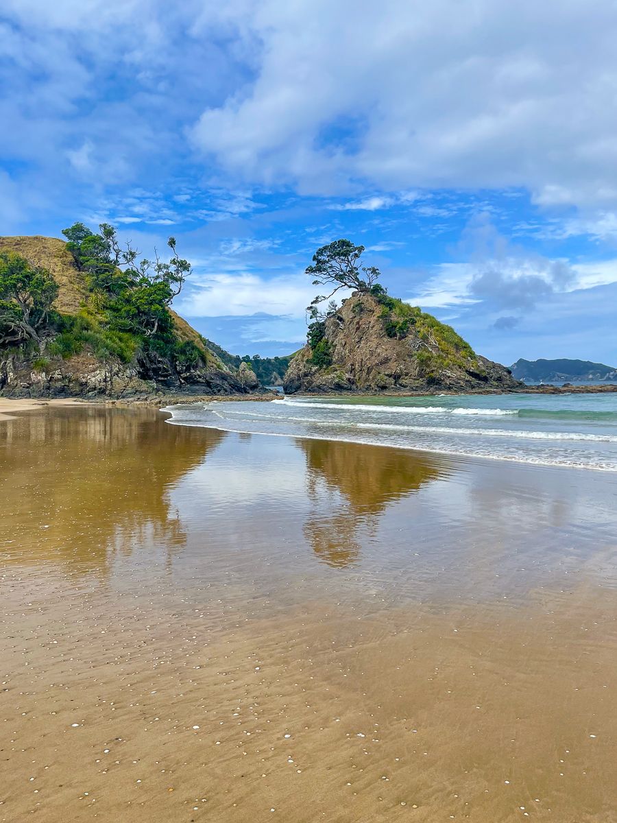
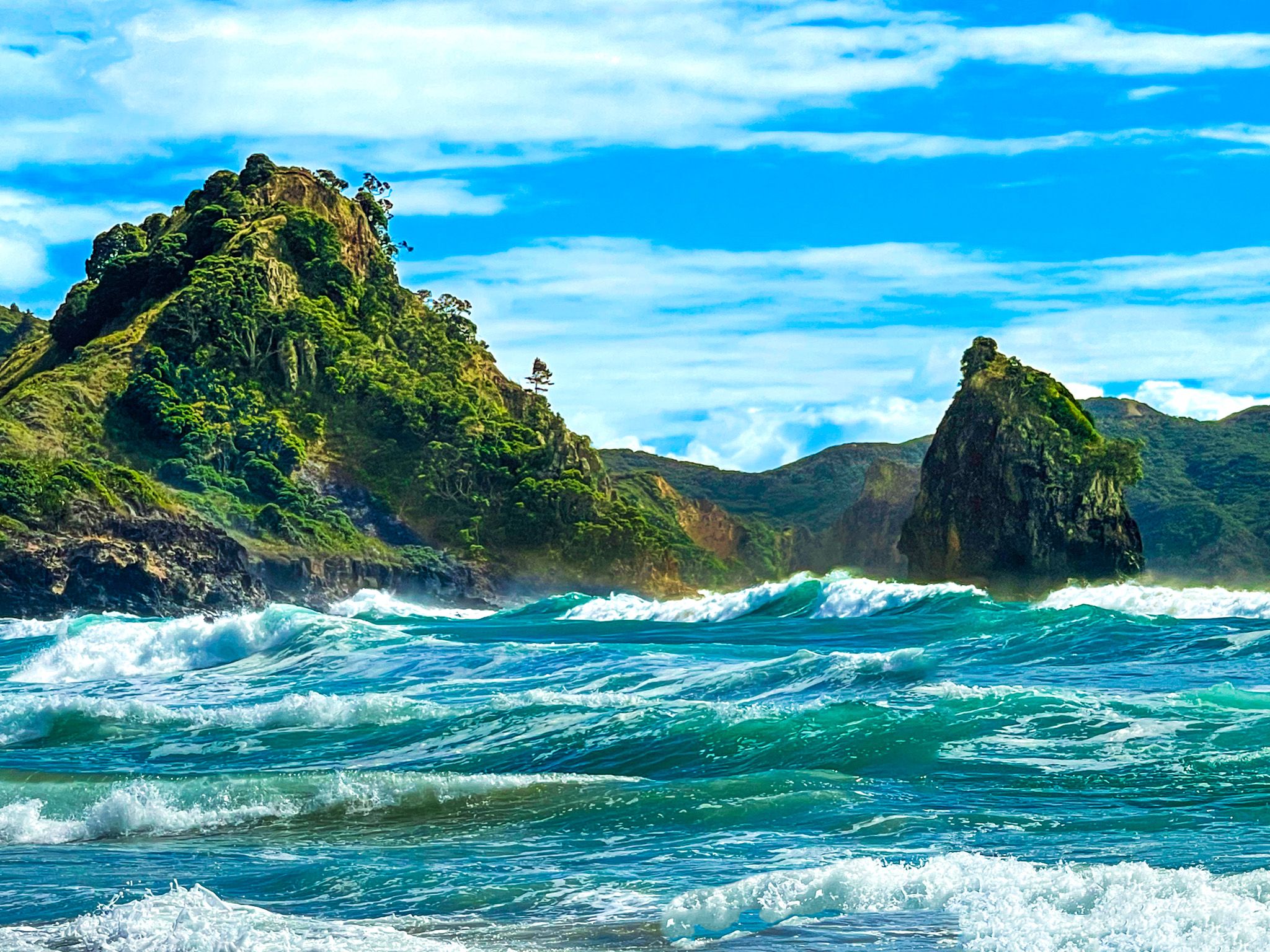
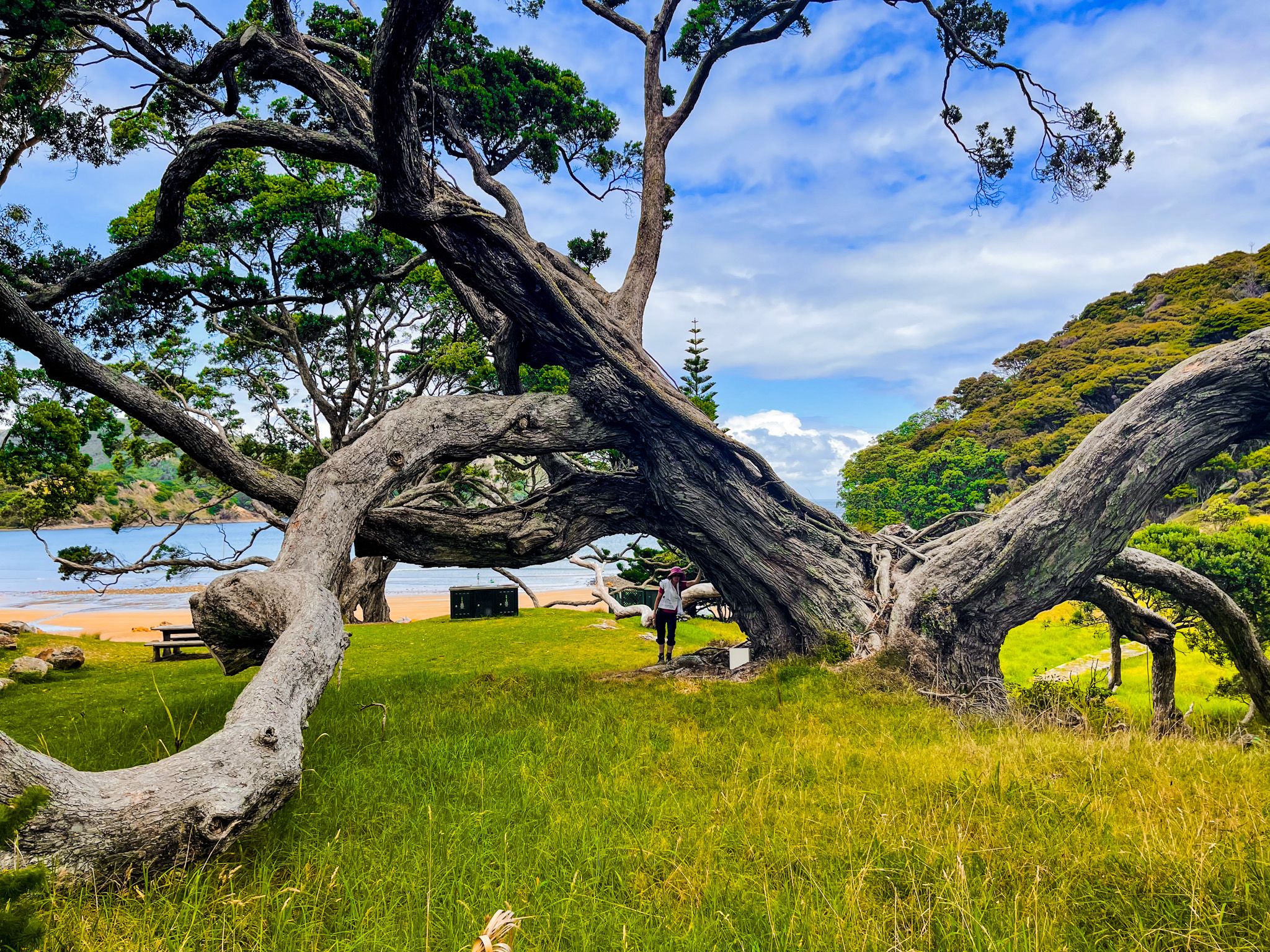
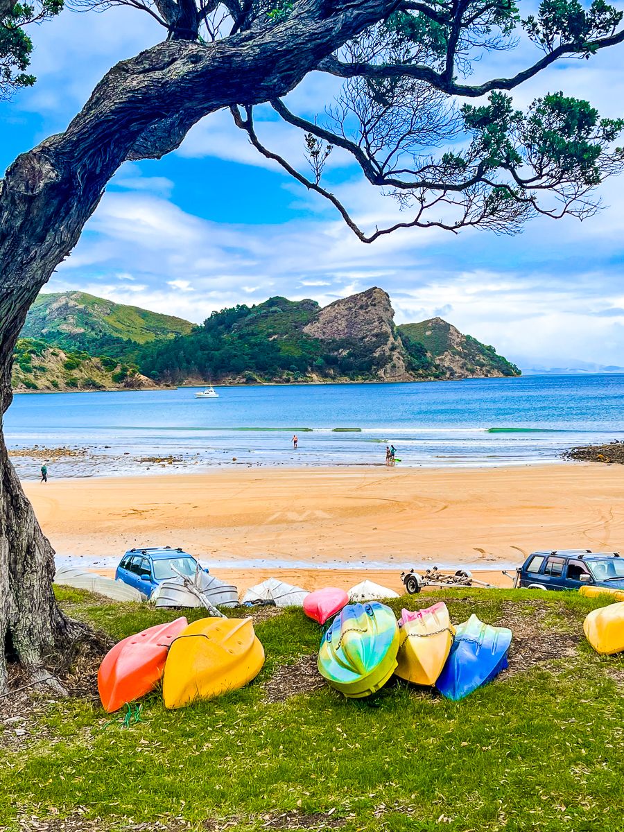
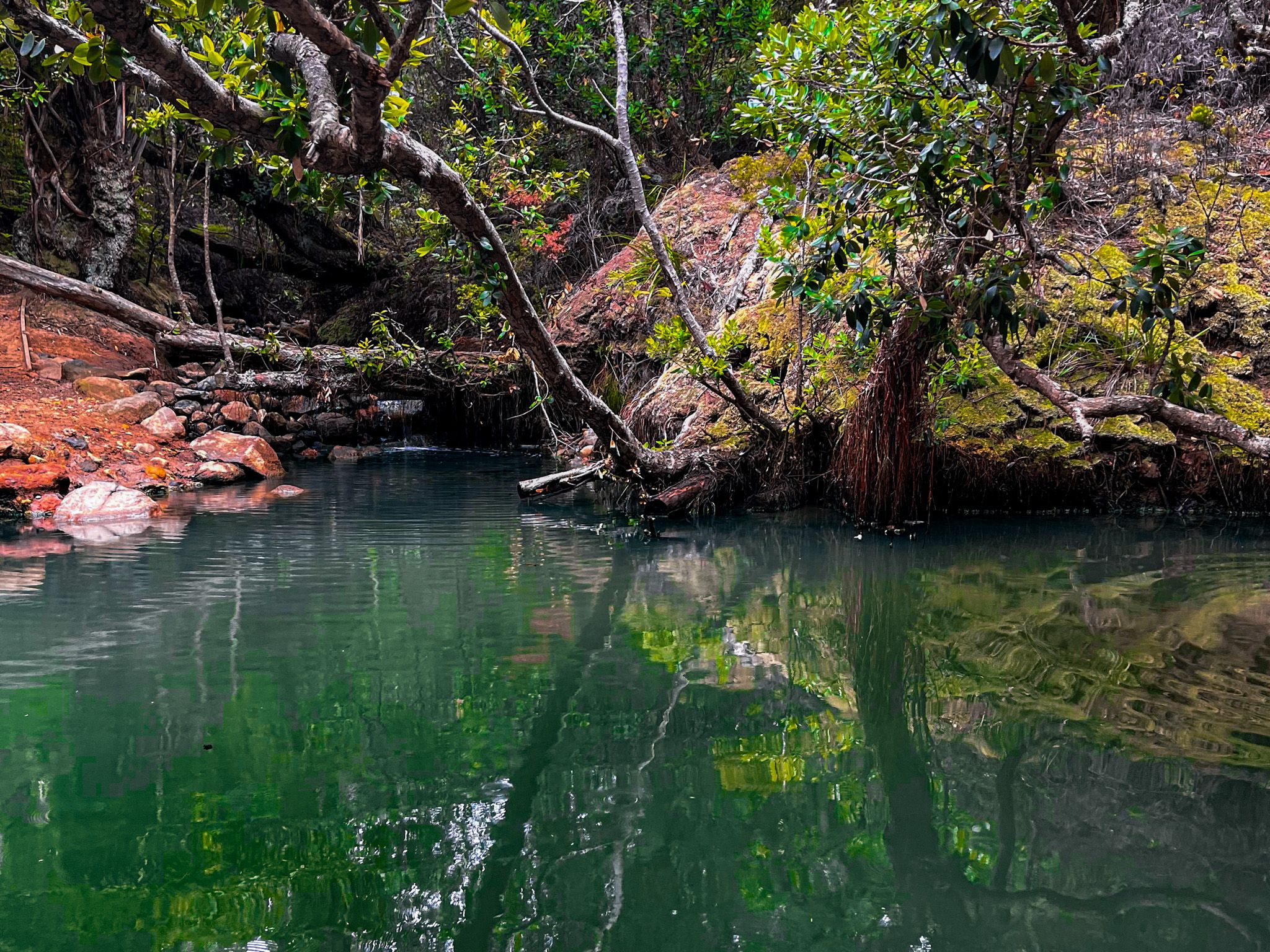
The island is a haven for outdoor enthusiasts, with a range of activities including hiking, beachcombing, and birdwatching. Its stunning beaches and lush forests are home to native birds and hot pools.
Accommodation varies from Department of Conservation (DOC) campsites to luxurious lodges. While there are cafes and restaurants, their operating hours can be unpredictable, so planning ahead is advisable. Claris, Tryphena, and Port Fitzroy offer dining options, with a restaurant also available in Whangaparapara. The island's laid-back atmosphere is reminiscent of life in New Zealand decades ago.
Geography and Divisions
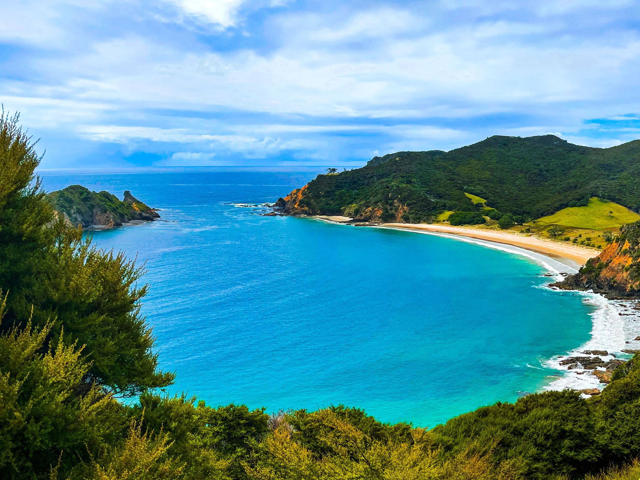
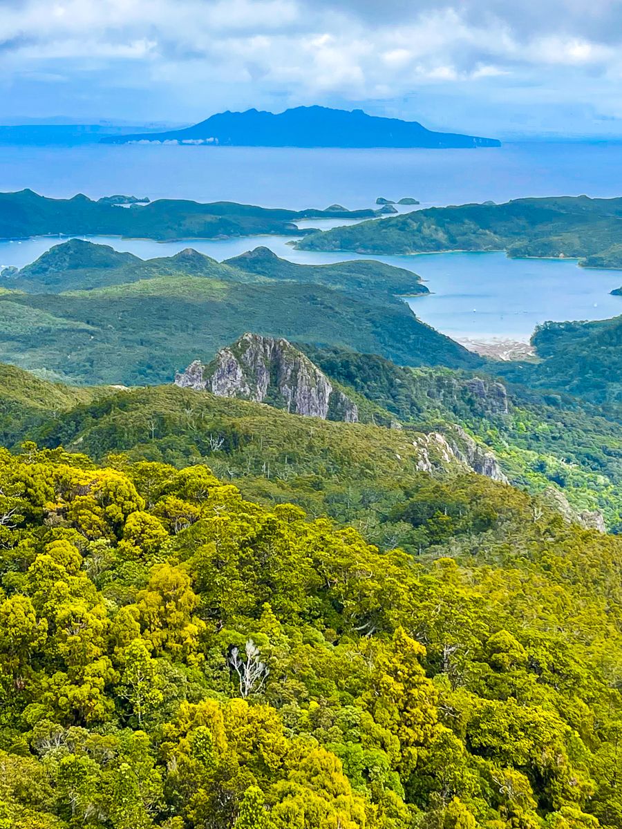
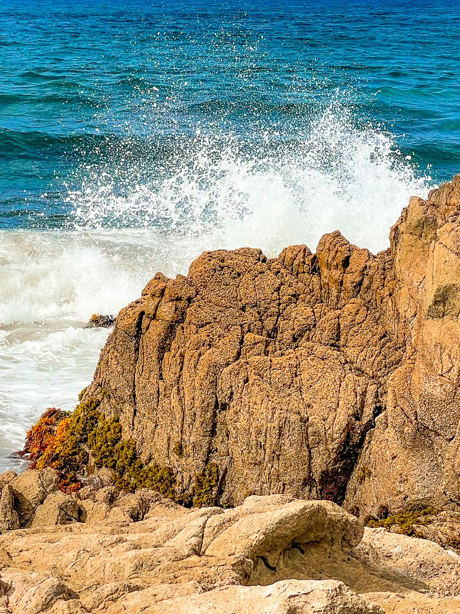
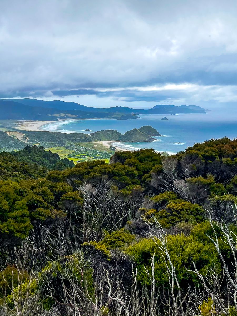
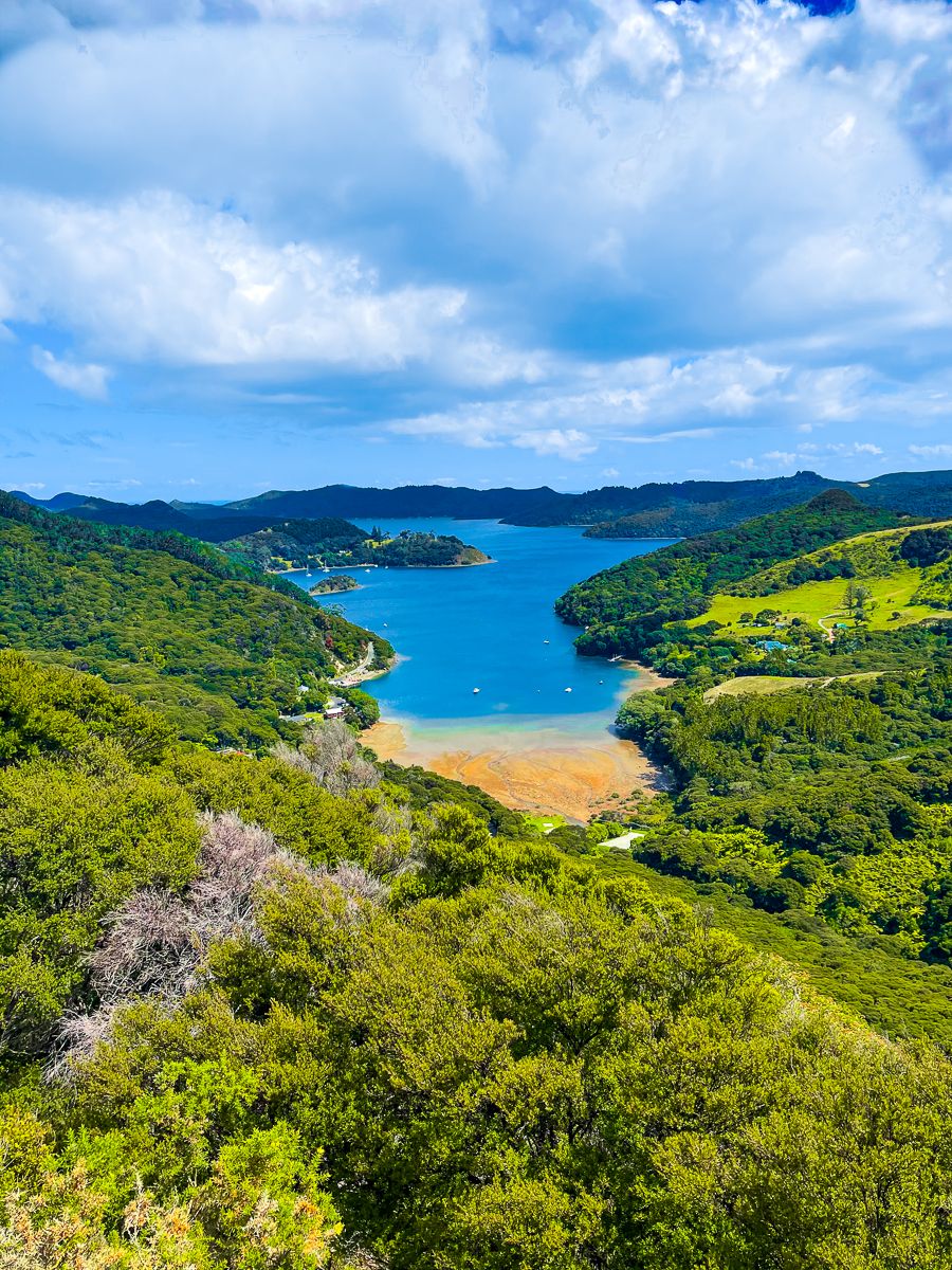
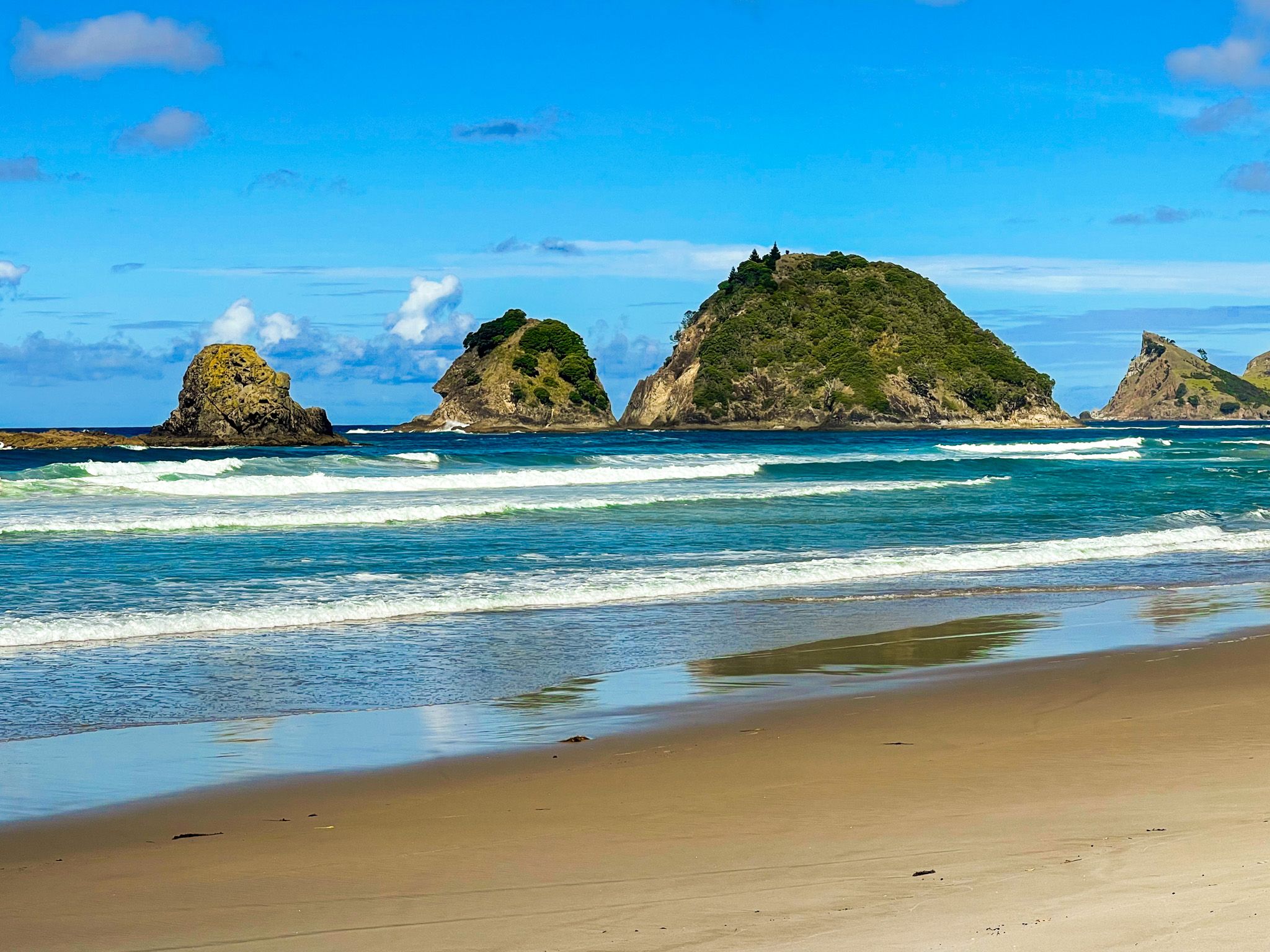
Aotea can be divided into three distinct areas. The west coast features tidal bays and harbours like Whangaparapara, Okupu Blind Bay, and Tryphena, facing the Hauraki Gulf. The east coast, facing the Pacific Ocean, boasts sandy surf beaches such as Medlands, Kaitoke, Awana Bay, Harataonga Bay, and Whangapoua.
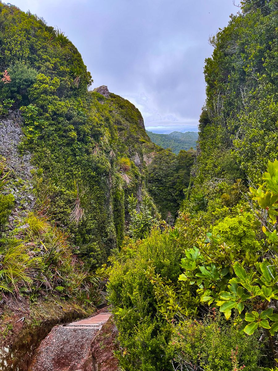
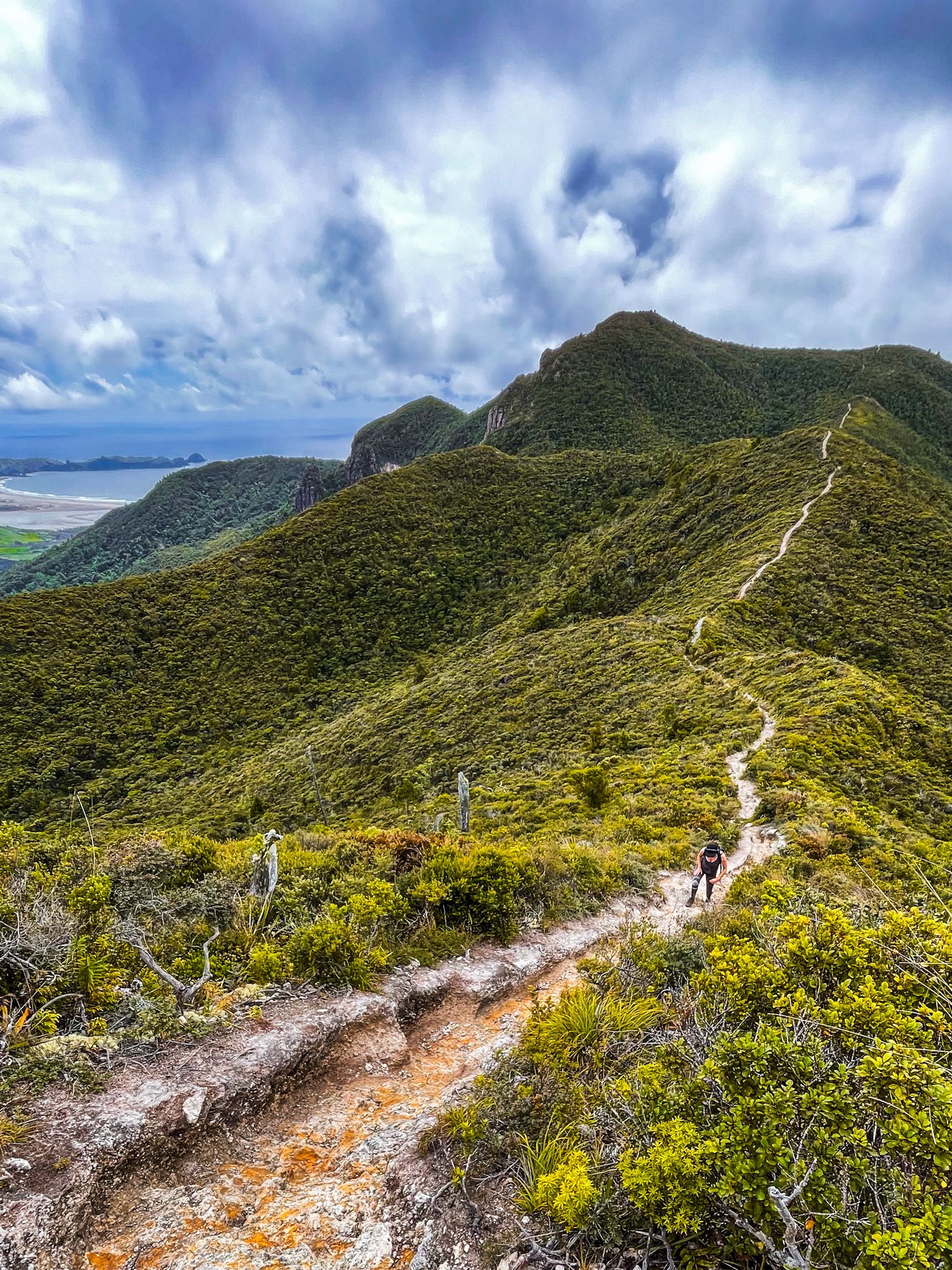
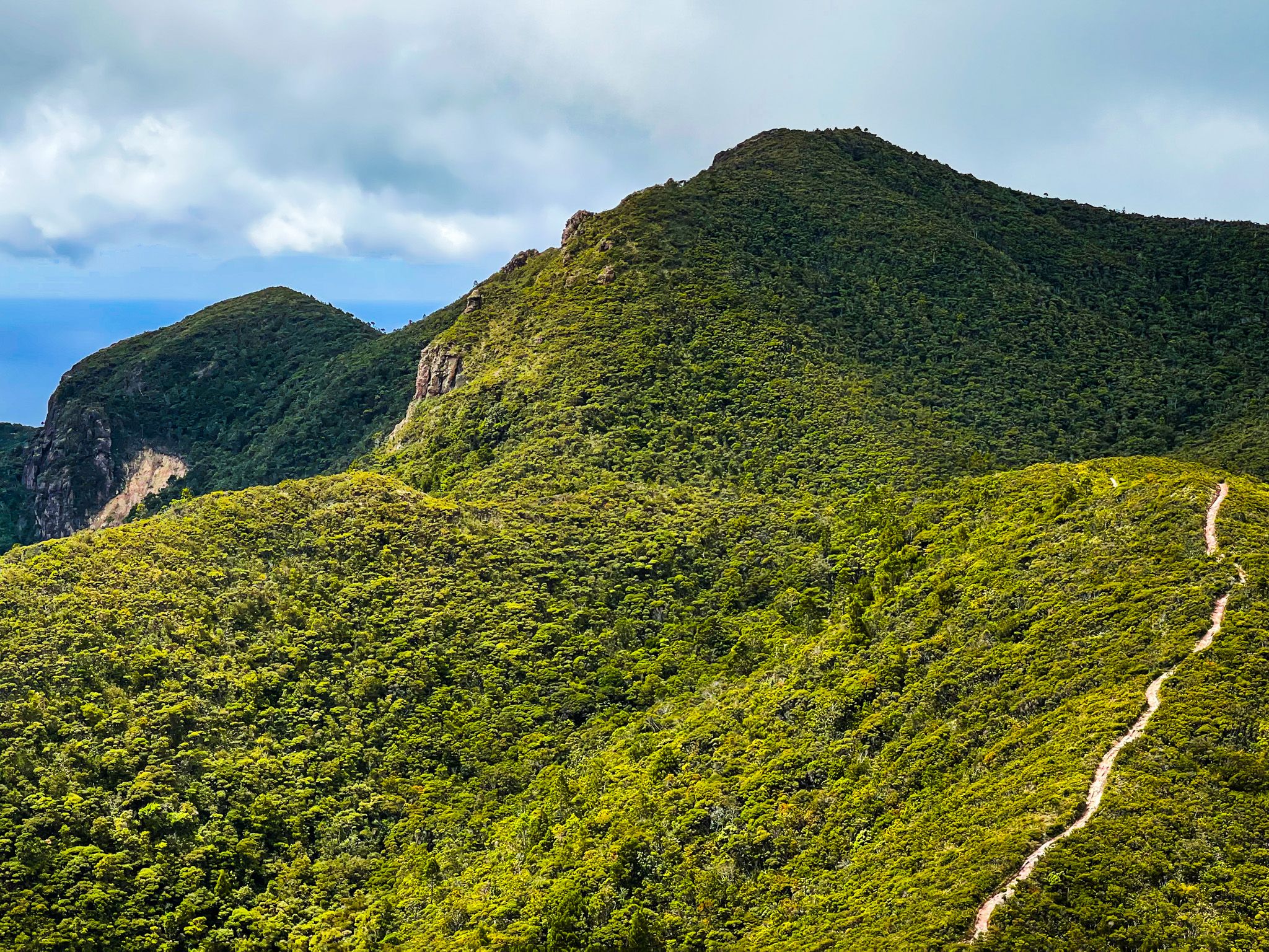
The central region is characterised by rugged, ancient volcanic cores and forest regrowth, with numerous hiking tracks. This area shares geological similarities with the Coromandel Peninsula, having formed from the remnants of the 18-million-year-old Coromandel Volcanic Zone.
Cultural and Historical Insights
The Māori name for the island is Aotea, meaning 'white cloud'. Ngāti Rehua has inhabited the island since the 17th century, after taking control from Ngāti Manaia and Kawerau descendants. By the mid-1800s, land purchases left only 3,510 acres at Katherine Bay under iwi control. Today, the iwi is very engaged with ecological restoration on the island.
Captain Cook named the island the Great Barrier because it acts as a barrier between the South Pacific Gyre and the Hauraki Gulf. The island's channels, Colville and Cradock, separate it from the Coromandel Peninsula and Little Barrier Island, respectively.
Economic History
For early European settlers, Aotea was an economic opportunity. Copper was mined, followed by gold and silver, in the late 1800s. Remnants of these mining activities are still visible. The island was covered in big kauri when Europeans arrived, and Kauri logging continued until the mid-1900s, leading to significant deforestation. Logs were transported via streams to the sea using wooden dams. Today, much of the Island's forest is regenerating, and the main activities are tourism, pastoral farming and fishing.

Conservation Efforts
Today, 60% of the island is part of the Aotea Conservation Park, managed by DOC. Kauri seedlings were replanted extensively in the 1970s and 1980s. The island is free from certain introduced pests, making it a sanctuary for native birds and plants. Rare species include brown teal ducks, black petrel seabirds, and kākā.
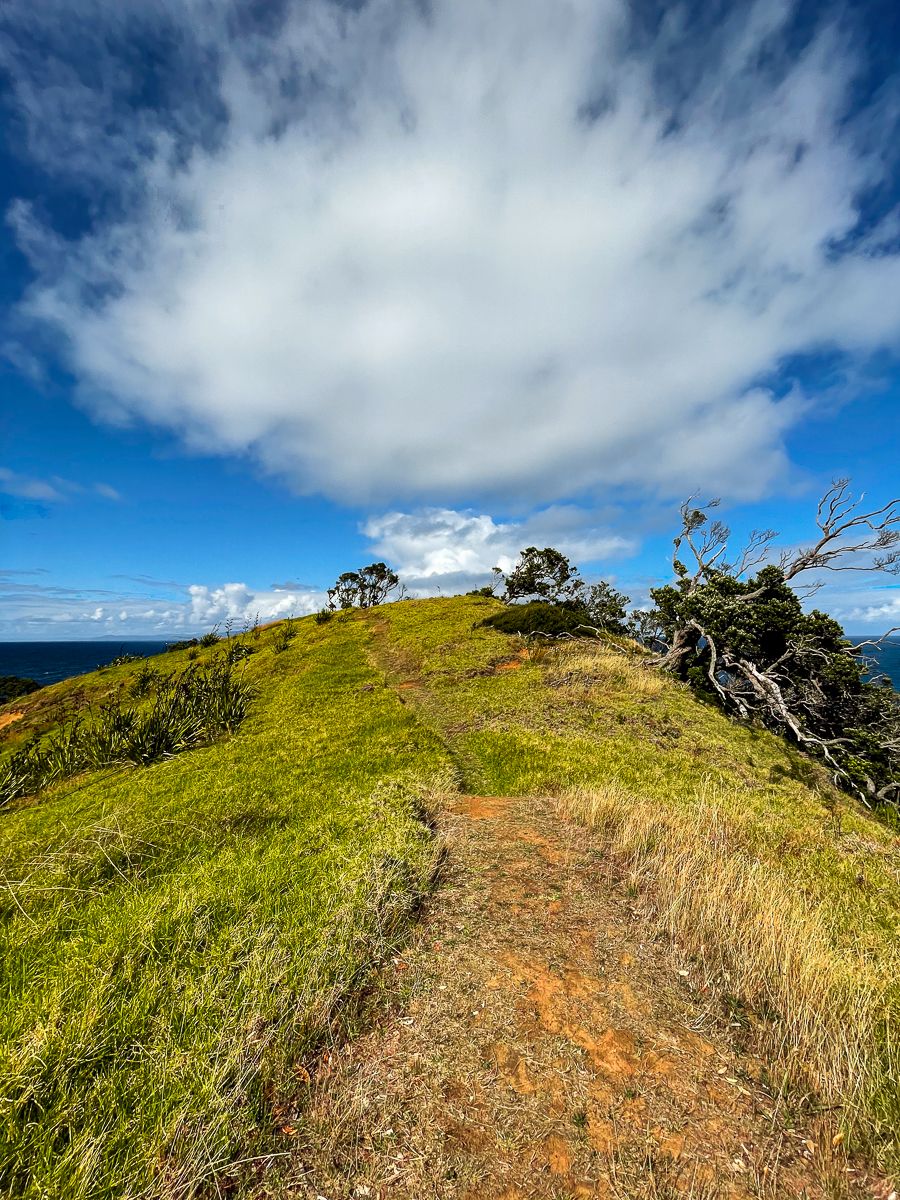
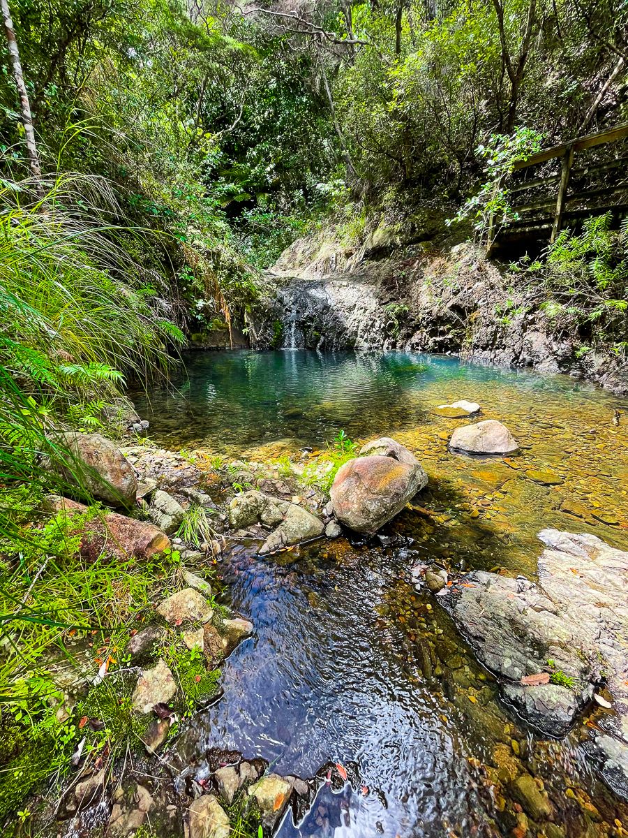
The park features various walking tracks, including Windy Canyon, Hirakimata Mt Hobson, and the Kaitoke Hot Springs. The Aotea Track is the only multi-day wilderness walk in the Auckland region, with two DOC huts and campsites in Whangapoua, Harataonga, Awana, Medlands, Whangaparapara, and Akapoua.
Dark Sky Sanctuary
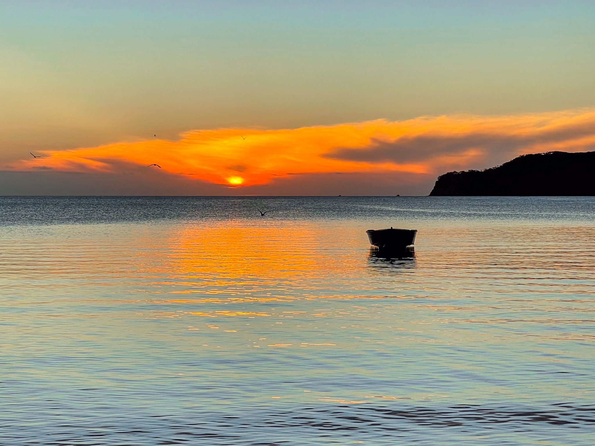
In 2017, Aotea was designated a Dark Sky Sanctuary by the International Dark Sky Association, becoming the third location to receive this recognition and the first island sanctuary.
Getting to Aotea Great Barrier Island
The most convenient way to reach Aotea is by plane from Auckland Airport, or the Aeroclub facility at Dairy Flat (North Shore). Alternatively, you can take a vehicle on the Sea Links ferry from the Wynyard Quarter in Downtown Auckland to Tryphena on the southwest coast, a journey that takes approximately 4.5 hours. Once on the island, renting a car or an electric bike is recommended, as there are no buses.