Exploring Auckland’s Hibiscus Coast
The Hibiscus Coast stretches along the northeast edge of Auckland, combining beach culture, family-friendly suburbs, and natural beauty on the edge of the Hauraki Gulf. About 50 minutes north of Downtown Auckland, it extends from the Whangaparāoa Peninsula in the southeast to Wenderholm and Puhoi in the north. From there, you transit from the Hibiscus Coast to the Matakana Coast as you approach Mahurangi and Warkworth.
A Coastline of Beaches and Bays
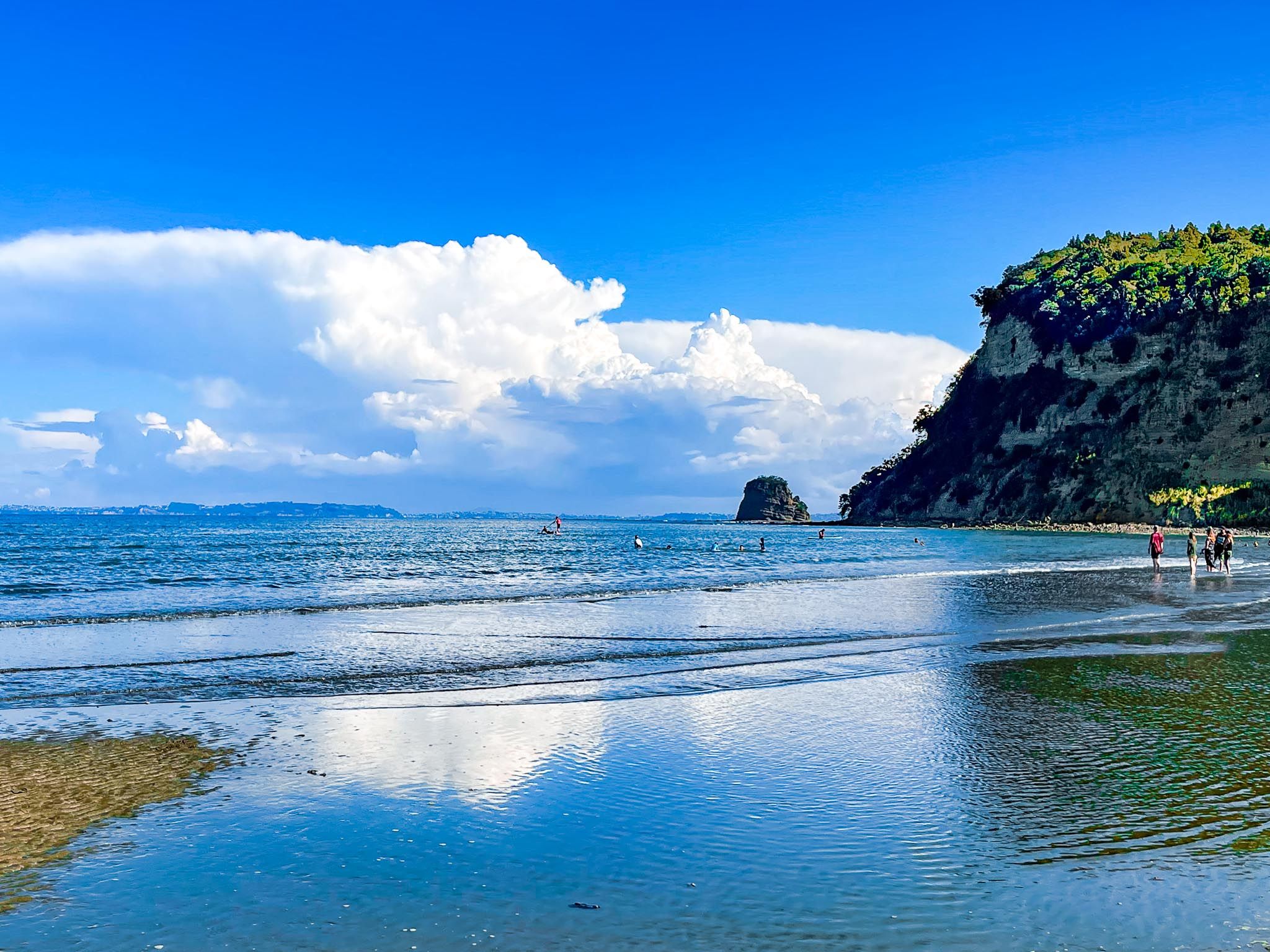
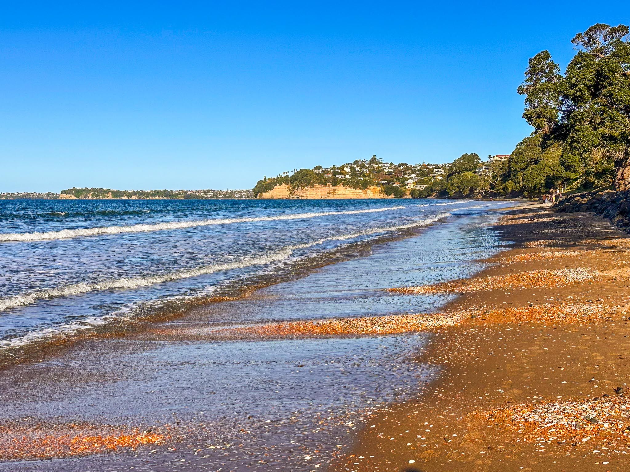
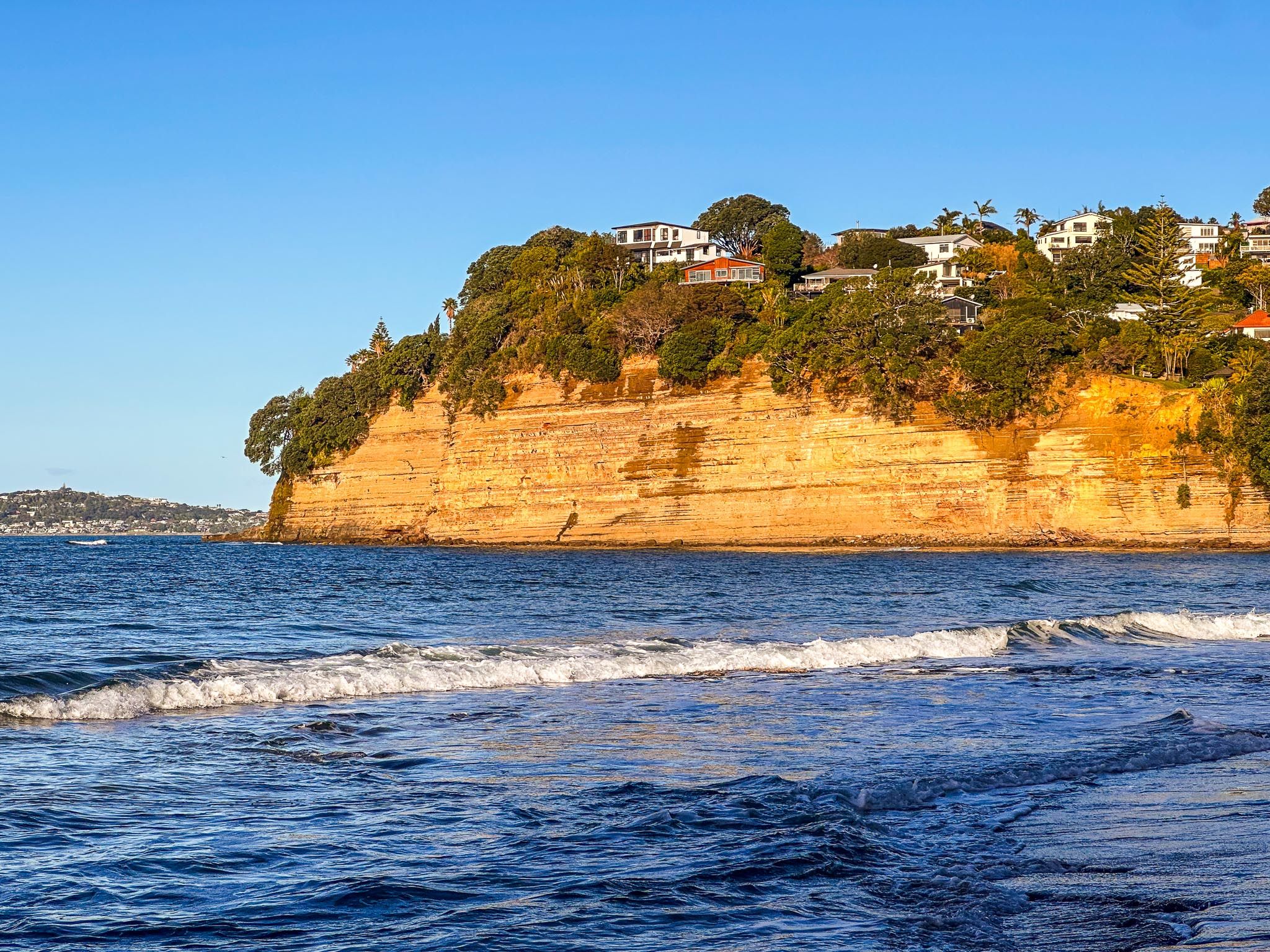
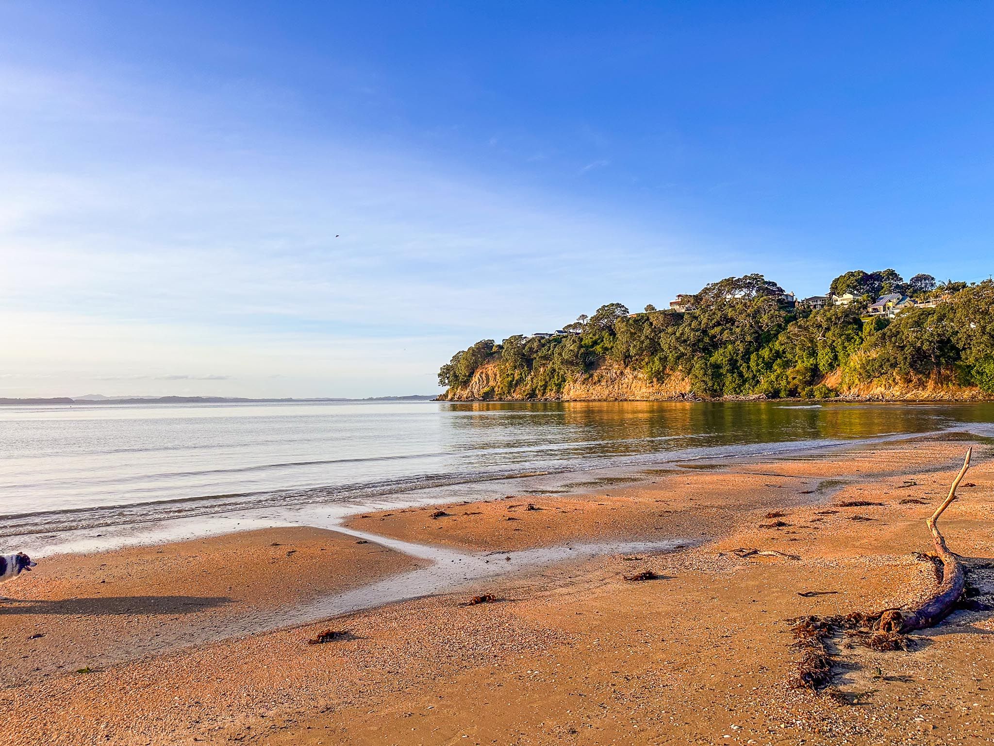
The Hibiscus Coast begins at Silverdale. You can choose to continue up the coast on the Twin Coast Discovery Highway or head east onto the Whangaparāoa Peninsula. Continuing north, the first major stop is Red Beach, a popular swimming and surf spot with reddish-toned cliffs at either end, incredible orange to red sand and a long-established surf lifesaving club. It’s a local favourite for water activities, sunbathing, and beach walks, with rock pools and low-tide explorations at either end.
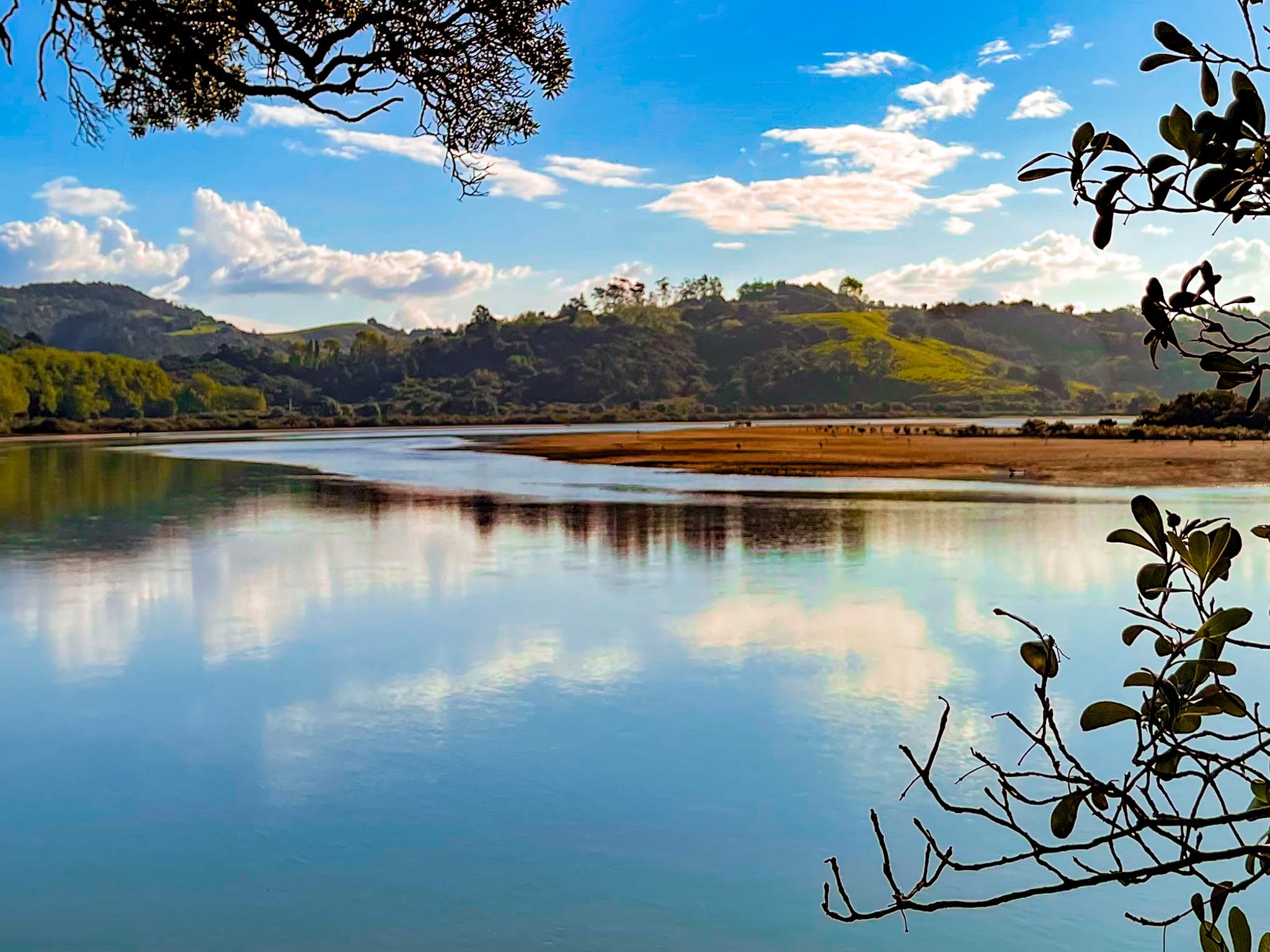
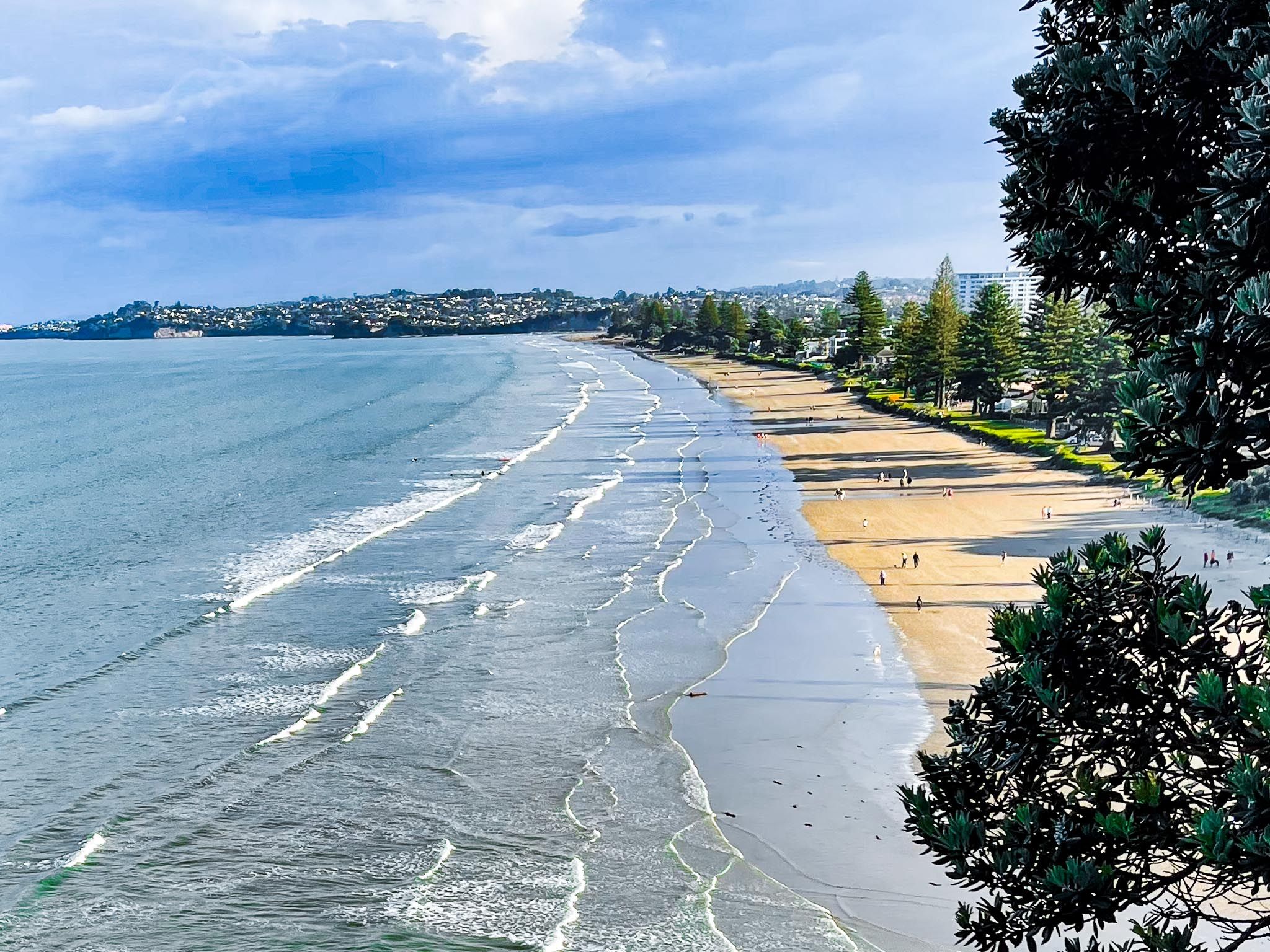
Next along the coast is Ōrewa, the coast’s main town and the longest beach. With over 3 km of sand, gentle surf, a coastal boardwalk, and plenty of cafes and shops, Orewa Beach is popular with locals and visitors. Its estuary, fed by the Ōrewa River, is rich in wetland habitat and popular for kayaking and birdwatching. There is also a large campground at the south end of the beach and the wonderful, easy kauri forest walks of Alice Eaves Scenic Reserve near the north end..
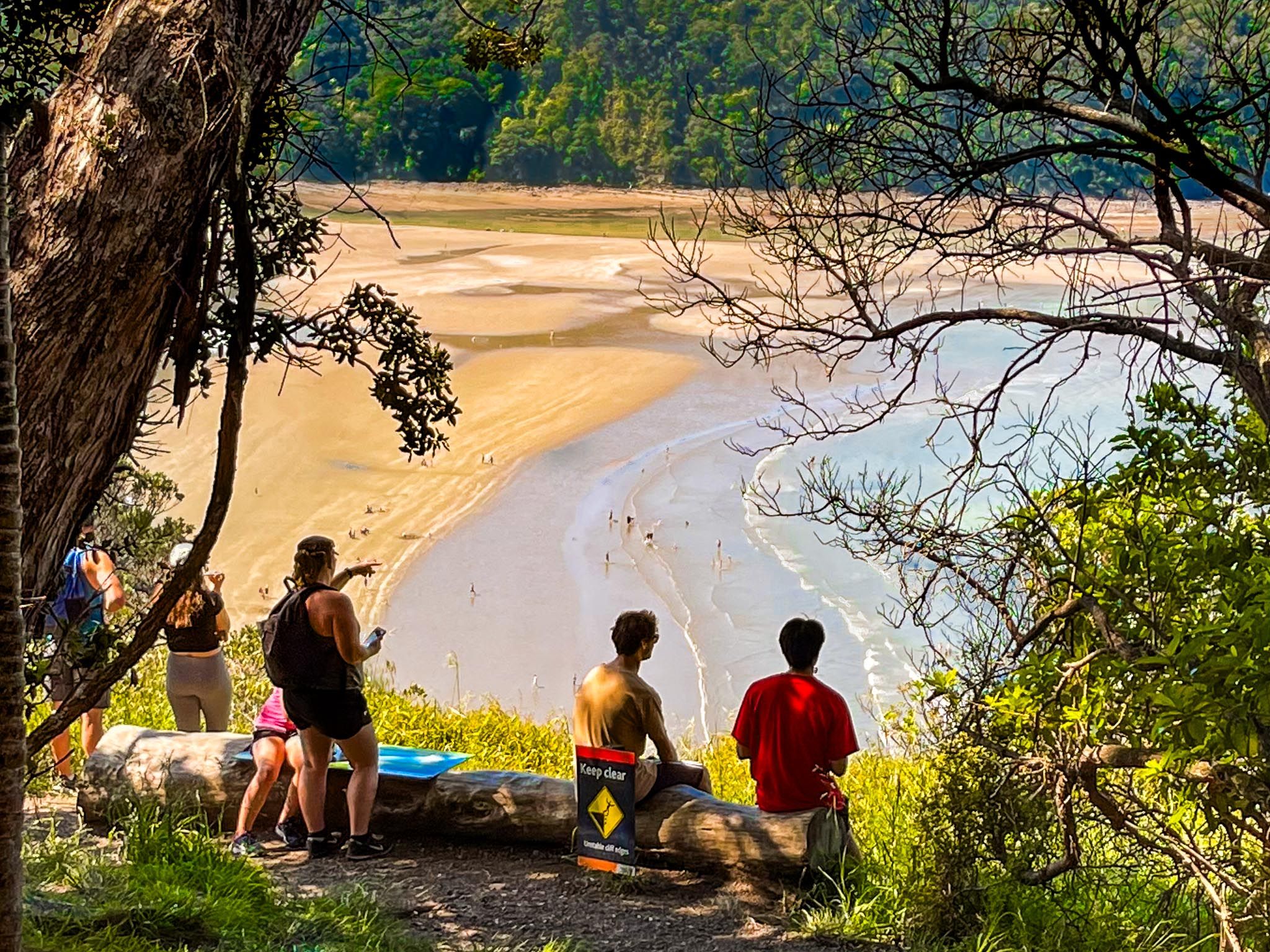
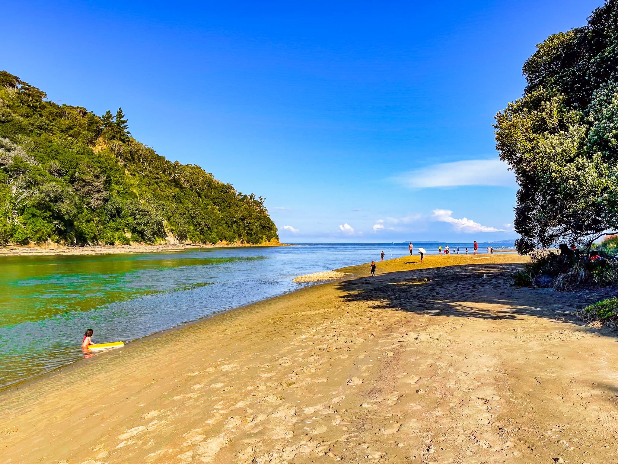
A short drive north over a high point, with stunning views of Whangaparāoa Bay, brings you to Hatfields Beach, a quieter bay. This is followed by another short, beautiful rural drive to Waiwera, historically famous for its geothermal hot springs. Although the spa facility is gone, the beach and nearby Waiwera River offer swimming, a peaceful reserve and kayaking options.
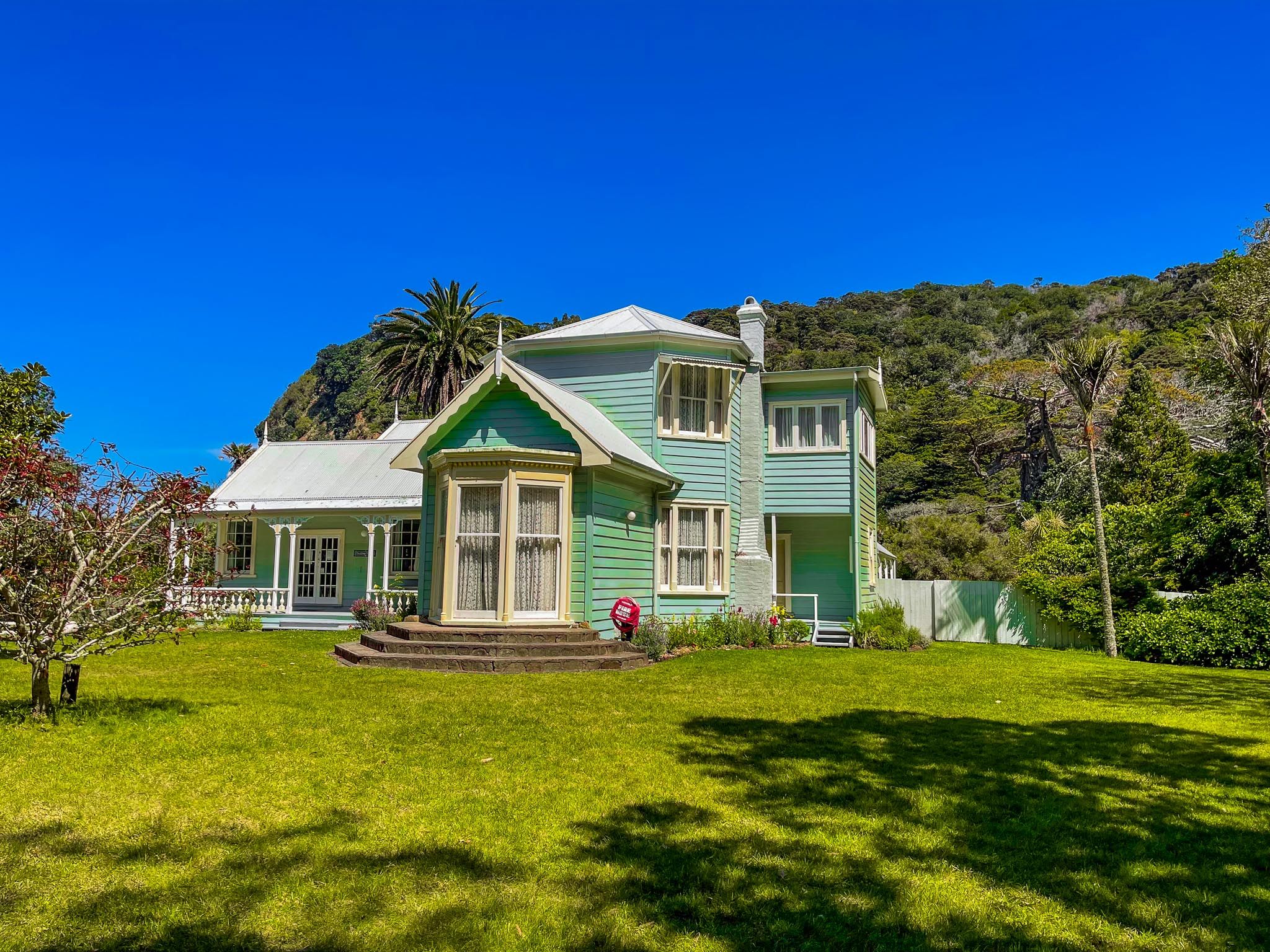
On the north side of the Waiwera River is Wenderholm Regional Park, Auckland’s first regional park, where you’ll find a historic house, native forest walks, with superb coastal viewpoints, birdlife, estuarine kayaking, a safe swimming beach and a campsite. After Waiwera, it's another rural hill climb with great views of the Puhoi River valley to Puhoi village.
Te Araroa also goes down the Hibiscus Coast, taking in the Puhoi River by kayak, a beach and forest walk through Wenderholm, around the coast, including below cliffs at low tide from Waiwera to Orewa, the south side of the Orewa River estuary, then past Silverdale to Stillwater.
Whangaparāoa Peninsula – Bay of Whales and Coastal Life
Branching east from Red Beach is the Whangaparāoa Peninsula, a 25 km finger that stretches into the Hauraki Gulf. Whangaparāoa means “Bay of Whales”, reflecting the whales that regularly pass through the gulf nearby. The Peninsula is a long tombolo formed by a combination of uplifted marine sediments and volcanic activity over millions of years.
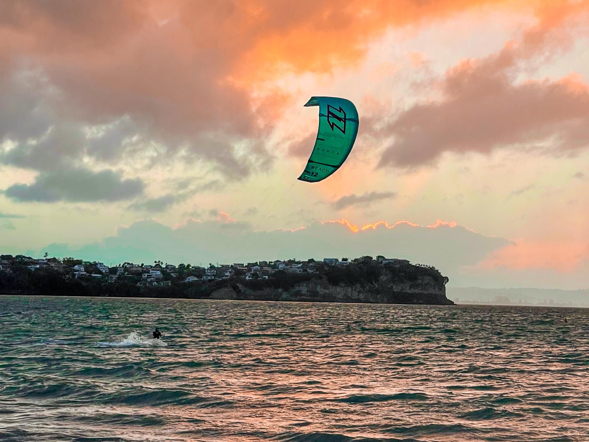
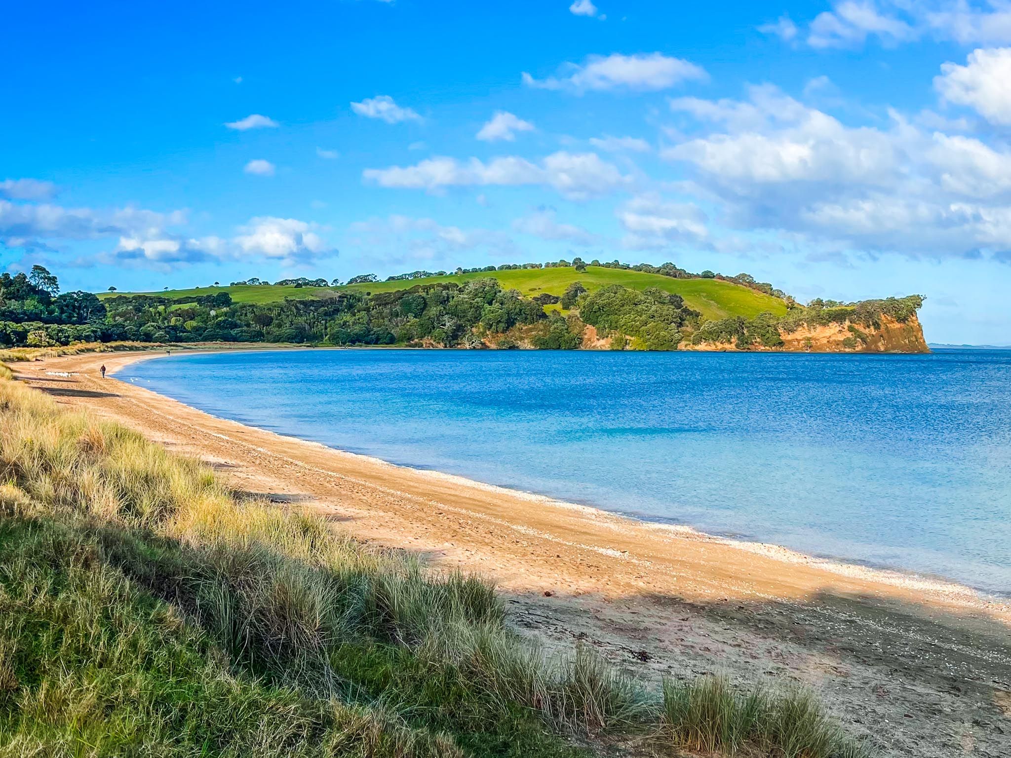
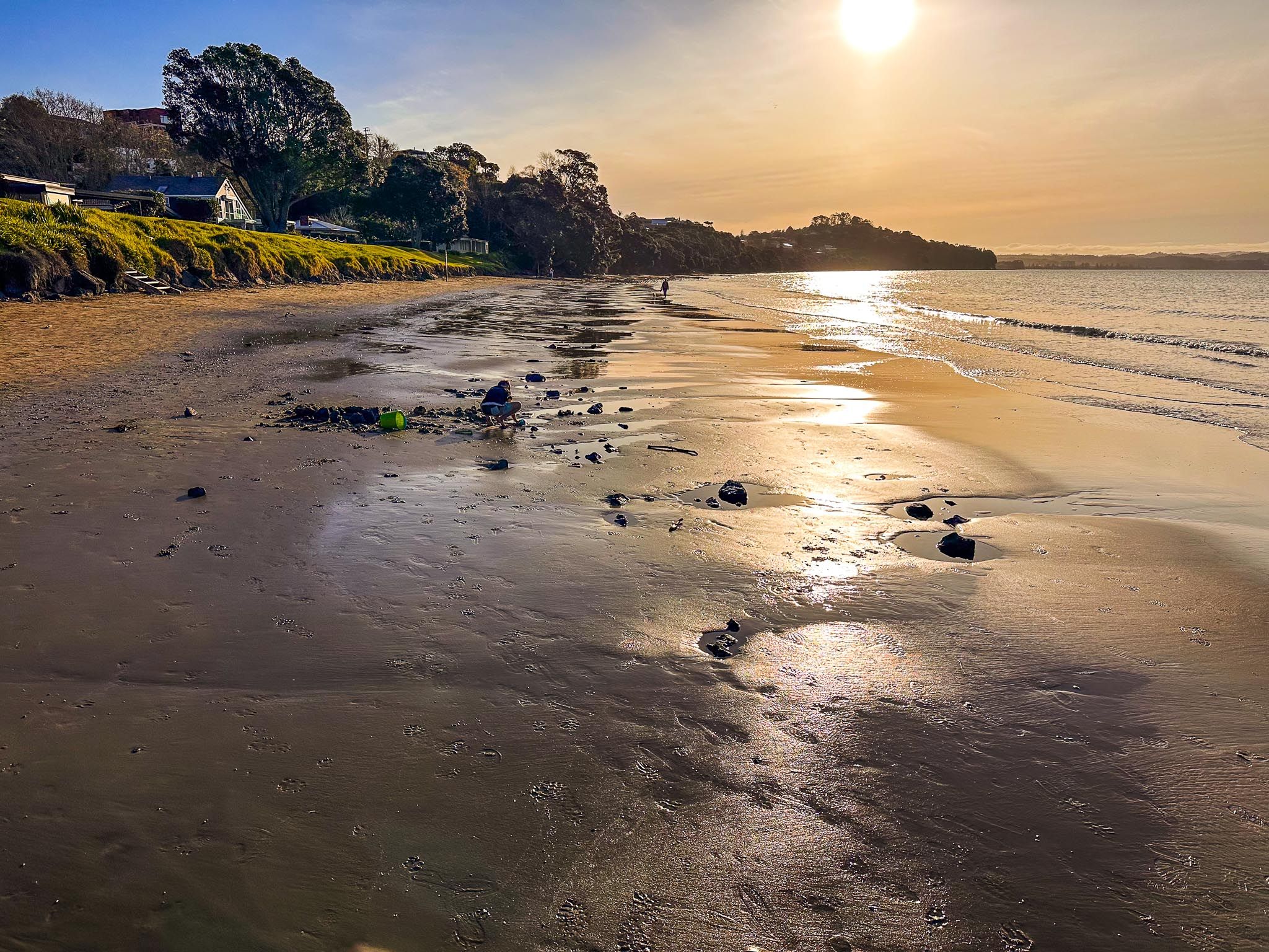
Stanmore Bay is the first major bay, with a wide beach reserve, family playgrounds, and calm waters perfect for swimming. Next is Big Manly Beach (Waiau Bay), popular with paddleboarders and families. Nearby Tindalls Beach offers a quieter setting and spectacular low-tide rock pools.
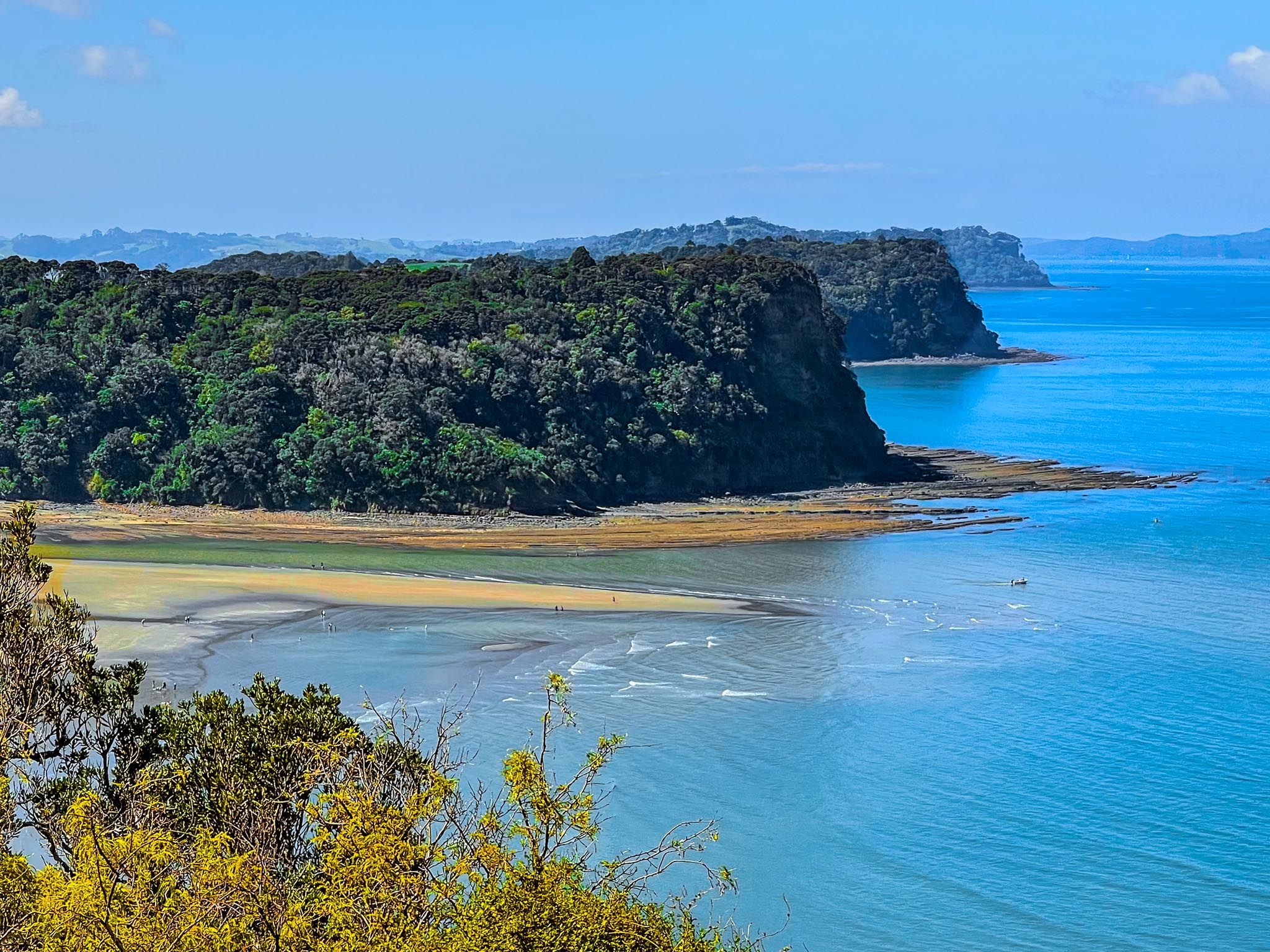
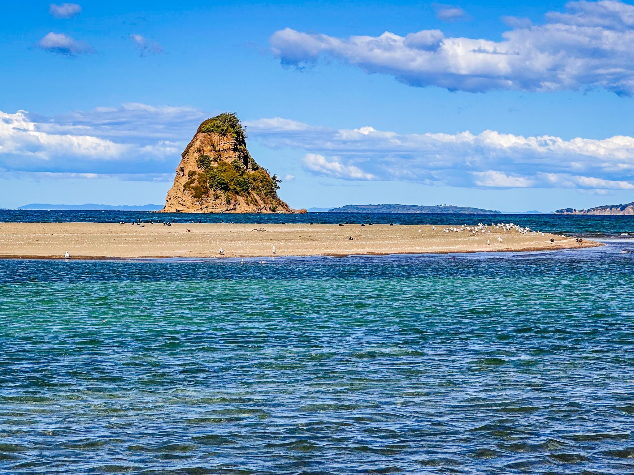
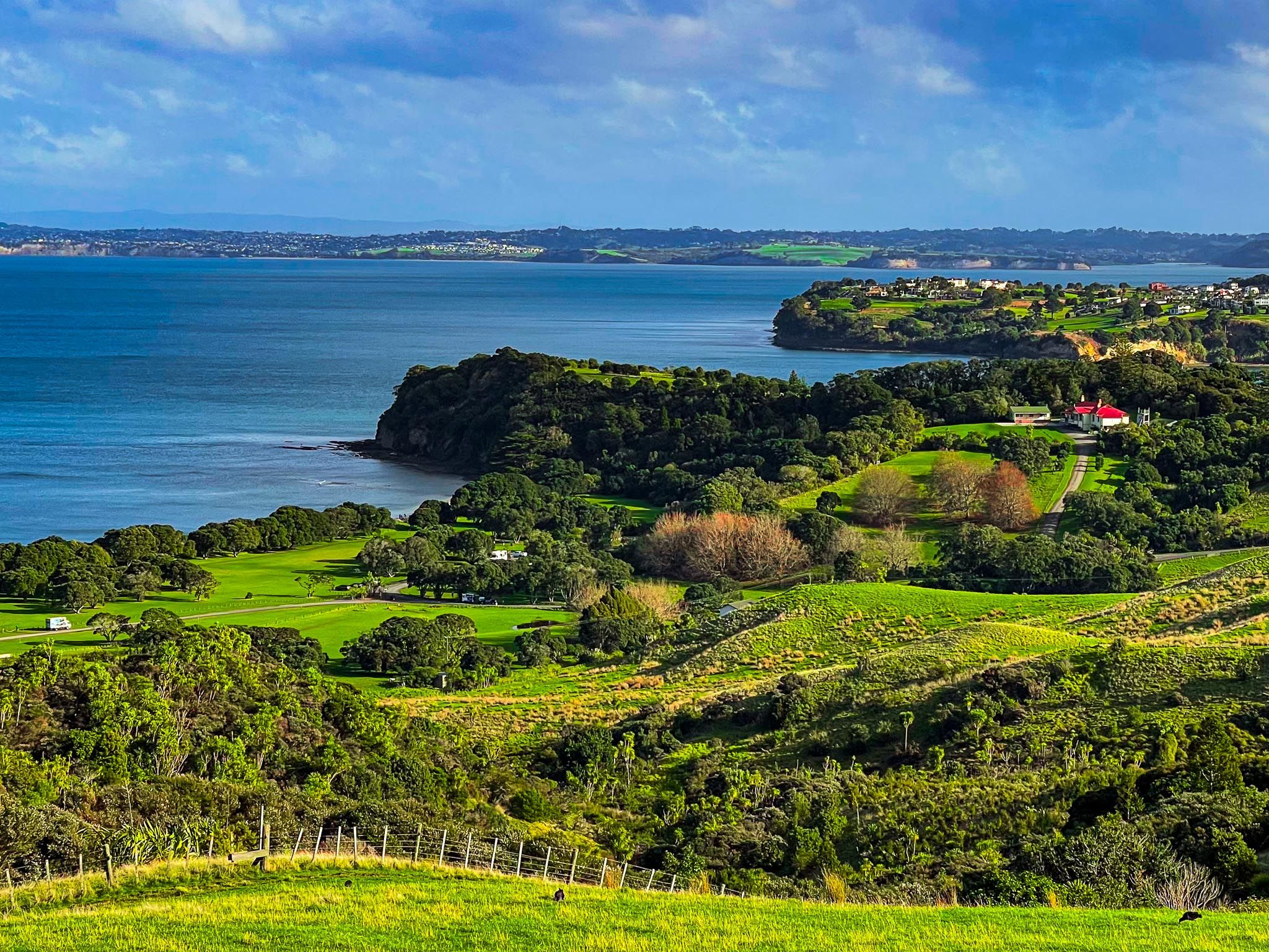
Shakespear Regional Park includes a fenced, predator-free regrowth forest, coastal walks, open pastures, and sweeping views across the Hauraki Gulf. The park crowns the eastern end of the peninsula with spectacular views over the gulf and back to Downtown Auckland. Army Bay, adjacent to the park, is a popular diving and boat launch site. On the south side of the peninsula, next to the park, is Okoromai Bay, where you can collect shellfish at low tide (subject to catch limits).
From nearby Gulf Harbour Marina, you can catch a ferry to central Auckland or book boat tours and fishing charters. Tiritiri Matangi Island, visible offshore, is a major conservation destination reached by ferry from the wharf next to the marina.
A Long Story of Settlement – Māori Life on the Coast
The Hibiscus Coast has been continuously inhabited since the 1300s. Māori settlements developed along the bays, estuaries, and rivers, especially the Ōrewa, Weiti, and Waiwera Rivers. These waterways supported fisheries and shellfish beds and provided access inland.
By the 1600s, the rangatira Maki had united several iwi in the region as Te Kawerau ā Maki. His descendants, Ngāti Kahu, Ngāti Manuhiri, Ngāti Maraeariki, and others, occupied the area seasonally and established pā at Waiwera, Rarowhara at the mouth of the Weiti River on the southwest side of the Whangaparāoa Peninsula, and Te Haruhi Bay on the Peninsula. The area also had shark fisheries and seasonal gardens, some of which remain as archaeological features in places like Karepiro Bay.
Waka travelled regularly across the region, and two important portage routes, Weiti and Aotoetoe, connected the peninsula with the Kaipara Harbour on the west coast. These links connected the Hibiscus Coast to the wider rohe of Tāmaki Makaurau.
In the early 1800s, inter-iwi conflict disrupted life along the coast, with the shark fishery being a particularly prized resource. In the 1820s, conflict reached a crescendo in the Musket Wars when a Ngāpuhi taua (war party) arrived in the region. Many local hapu temporarily retreated, beginning to return in the 1830s in time for mass European migration following the Treaty of Waitangi in 1840.
European Arrival and Suburban Expansion
European influence accelerated after the Treaty of Waitangi. The coast formed part of the enormous Mahurangi Block acquired from Thames iwi by the Crown in 1841. This was a significant wrong. Although the affected local hapu and iwi were compensated in the 1850s through the restoration of significant land around Mahurangi and Tawharanui, this led to substantial European settlement along the coast.
Early settlers were drawn by the timber and kauri gum industries. The Wade (now Silverdale) grew around the Weiti River, with sawmills and trade boats. Meanwhile, Waiwera’s geothermal springs became a significant attraction. A hotel and spa were established in the 1860s, drawing visitors by steamer from Auckland.
By the early 1900s, Orewa, Red Beach, and the Whangaparāoa Peninsula had become popular holiday destinations. Baches sprang up along the coast, and farming gave way to orchards and tourism. In 1911, The Wade was renamed Silverdale to get rid of its rough reputation. There is still a Wade Heads on the Topo Map near the mouth of the Weiti River.
The opening of the Auckland Harbour Bridge in 1959 transformed the Hibiscus Coast from a seasonal retreat to beach suburbs of Auckland. Town centres were built in Orewa and Whangaparāoa. To preserve public access to nature, Wenderholm and Shakespear were established as regional parks in the 1960s.
A Name Blossoms
The name “Hibiscus Coast” was coined in the early 1960s by local business leaders looking to unify and promote the growing region. Inspired by the tropical hibiscus flower, already associated with the spa at Waiwera, they planted over 1,000 hibiscus trees along streets and reserves. By 1971, the name had stuck. The coast’s Māori name, Te Kūiti o te Puarangi, honours the native puarangi hibiscus.
Getting There from Central Auckland
To reach the Hibiscus Coast, take the Northern Motorway over the Auckland Harbour Bridge, exiting at Silverdale. From there, follow signs to Orewa, Waiwera, or Whangaparāoa Peninsula, depending on your destination. Travel times vary from 40 minutes off-peak to over an hour during holiday weekends. For a scenic alternative, catch the weekday ferry from Auckland CBD to Gulf Harbour Marina, near the tip of the peninsula.
