Exploring Ōtānerua / Hatfields Beach
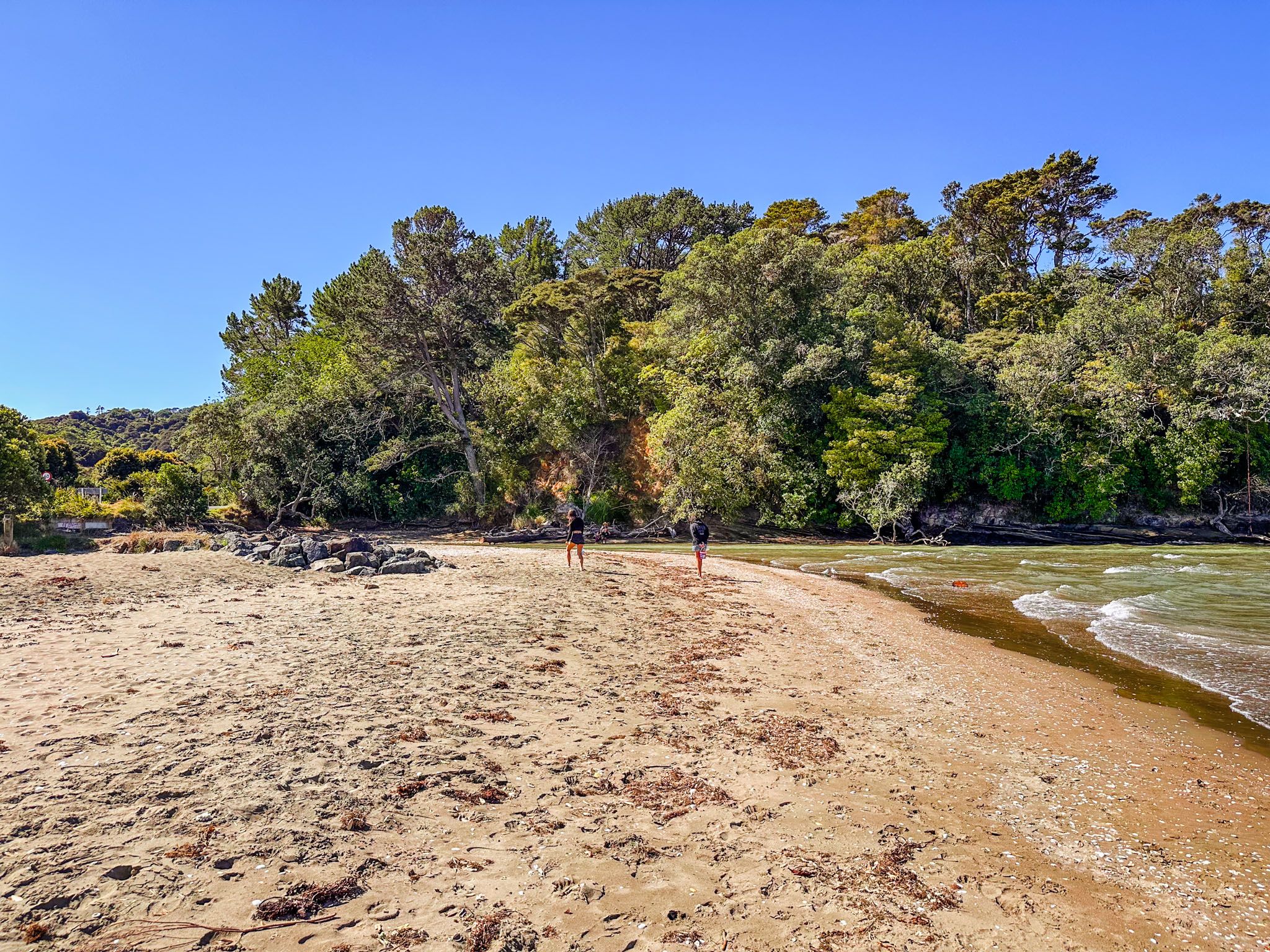
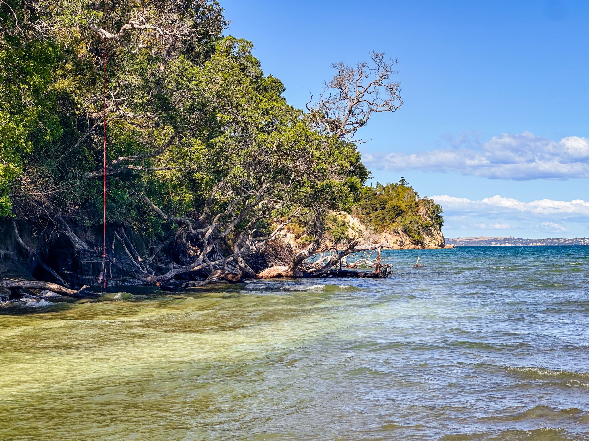
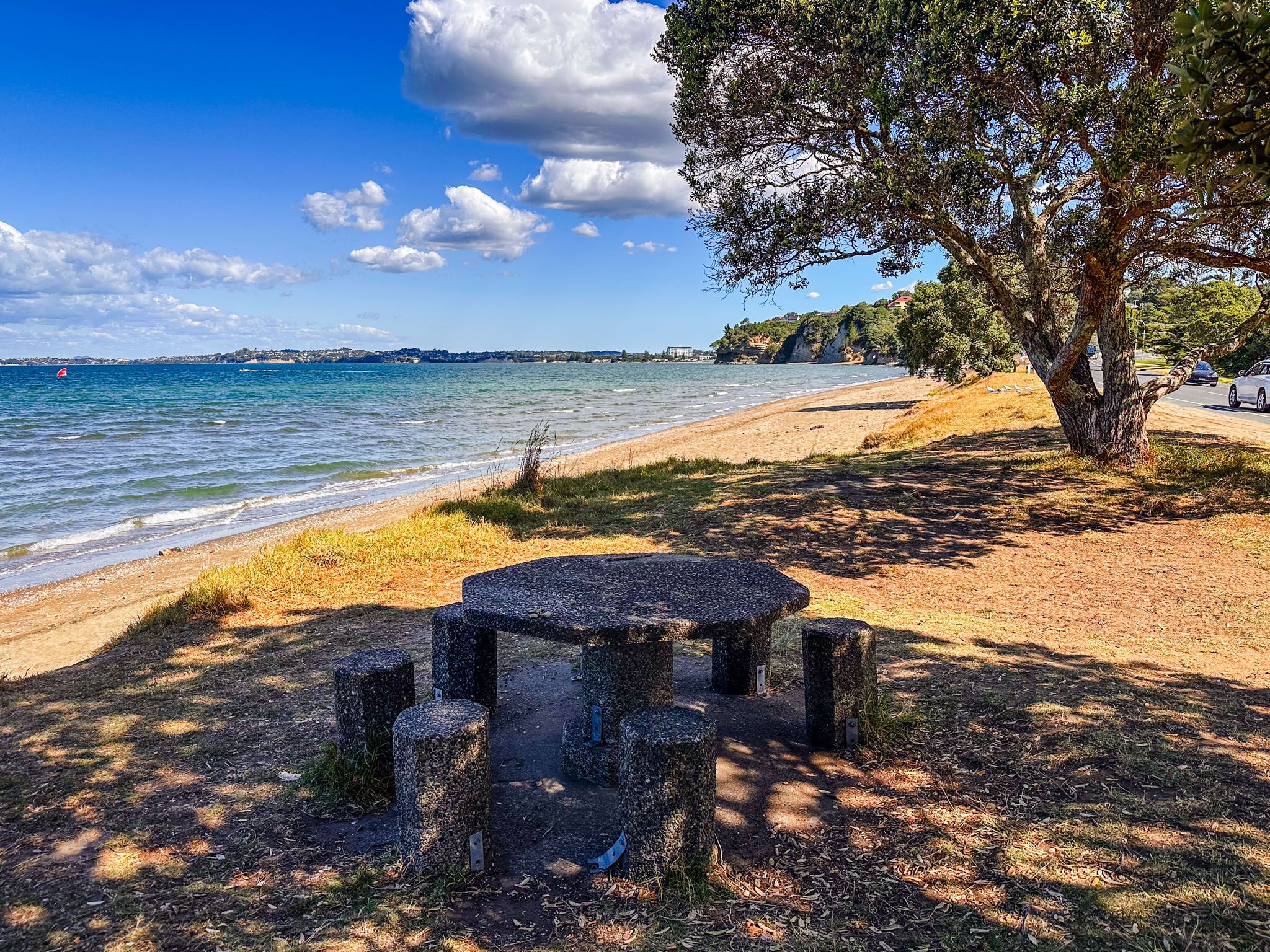
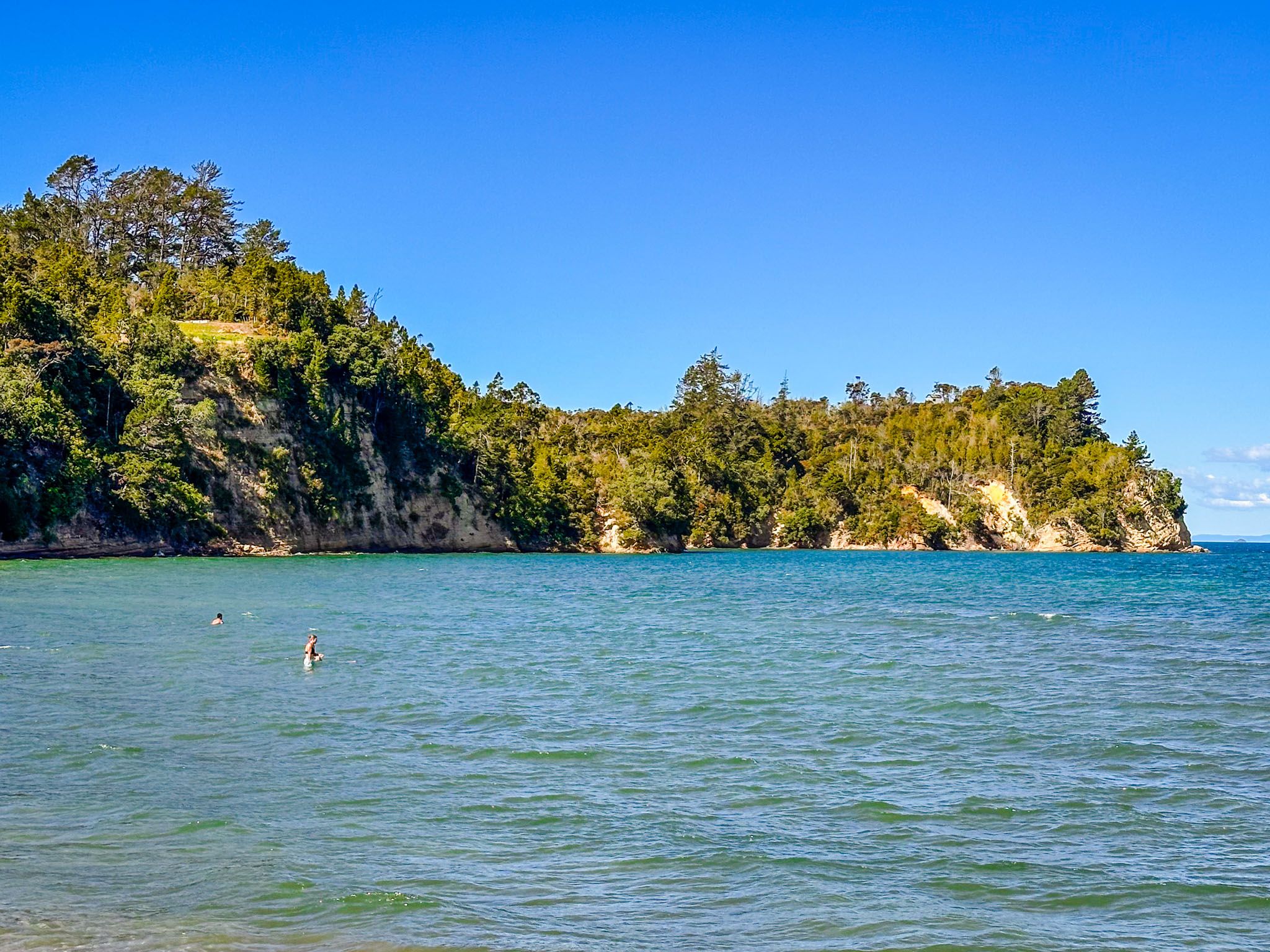
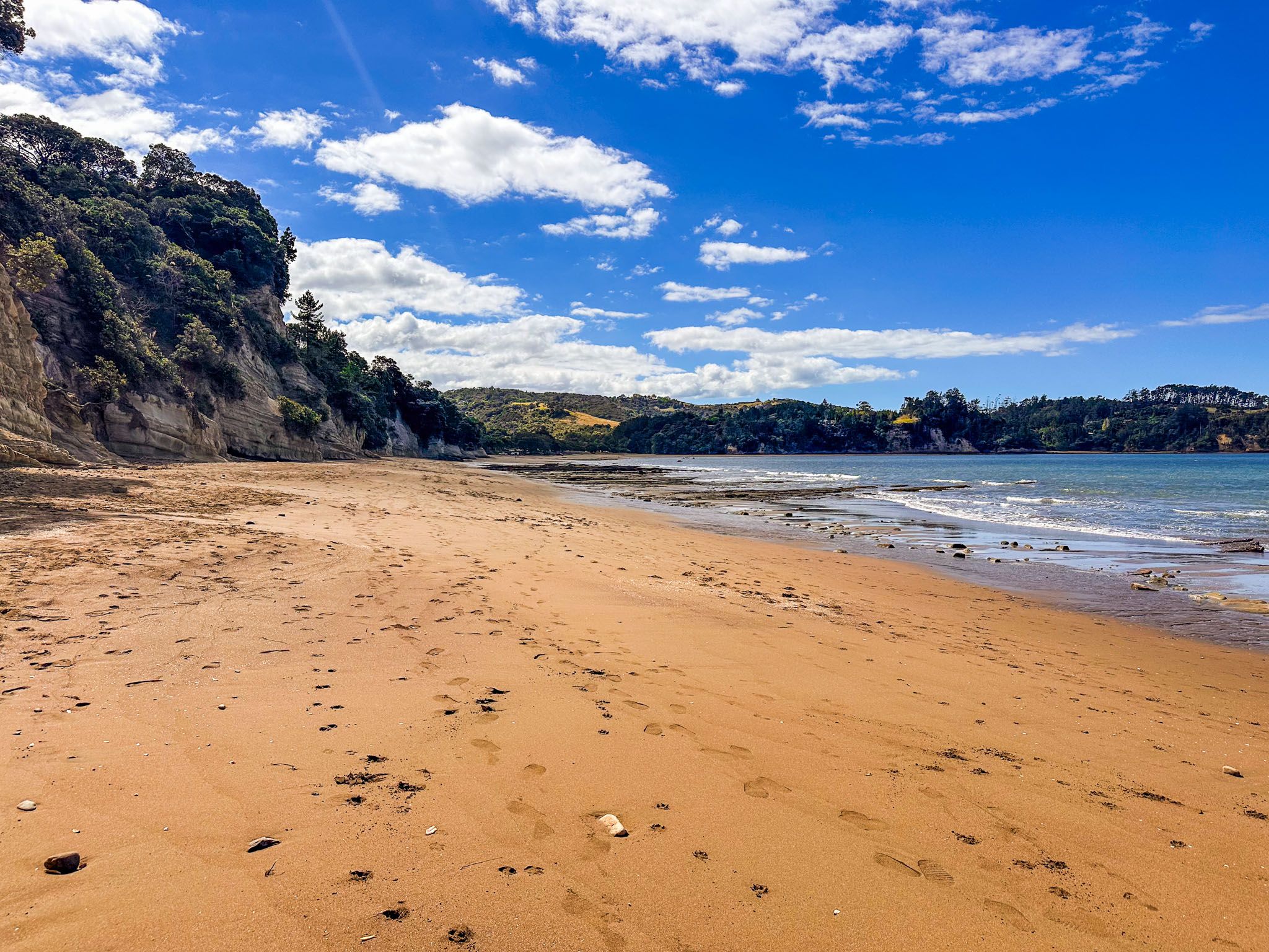
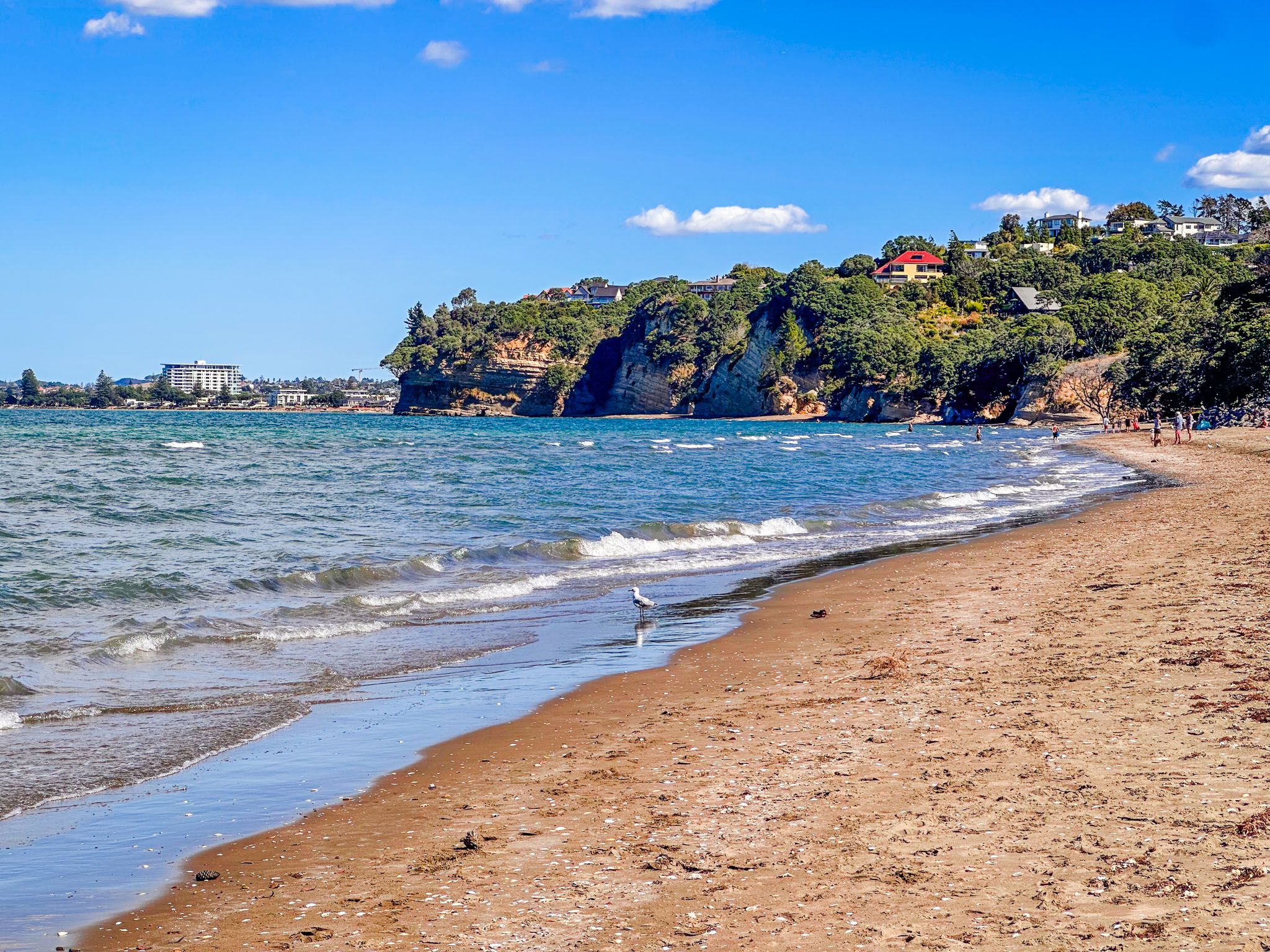
Ōtānerua / Hatfields Beach is located on the Hibiscus Coast of Auckland, between Ōrewa and Waiwera. This beach, stretching over 1 km, is a popular destination for its easy access and safe swimming conditions. The southern half of the beach is bordered by cliffs, with a rocky point separating Hatfields from Ōrewa. Houses are perched above these cliffs, adding to the charm of this extended coastal suburb.
Beach Features and Activities
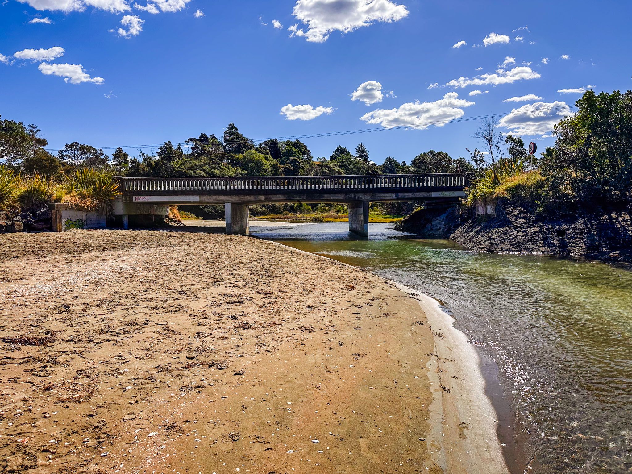
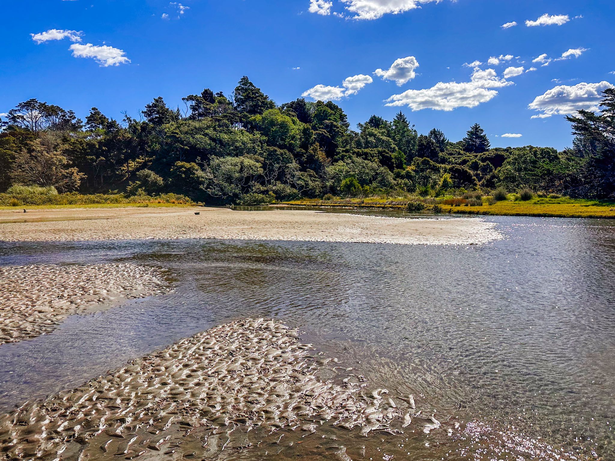
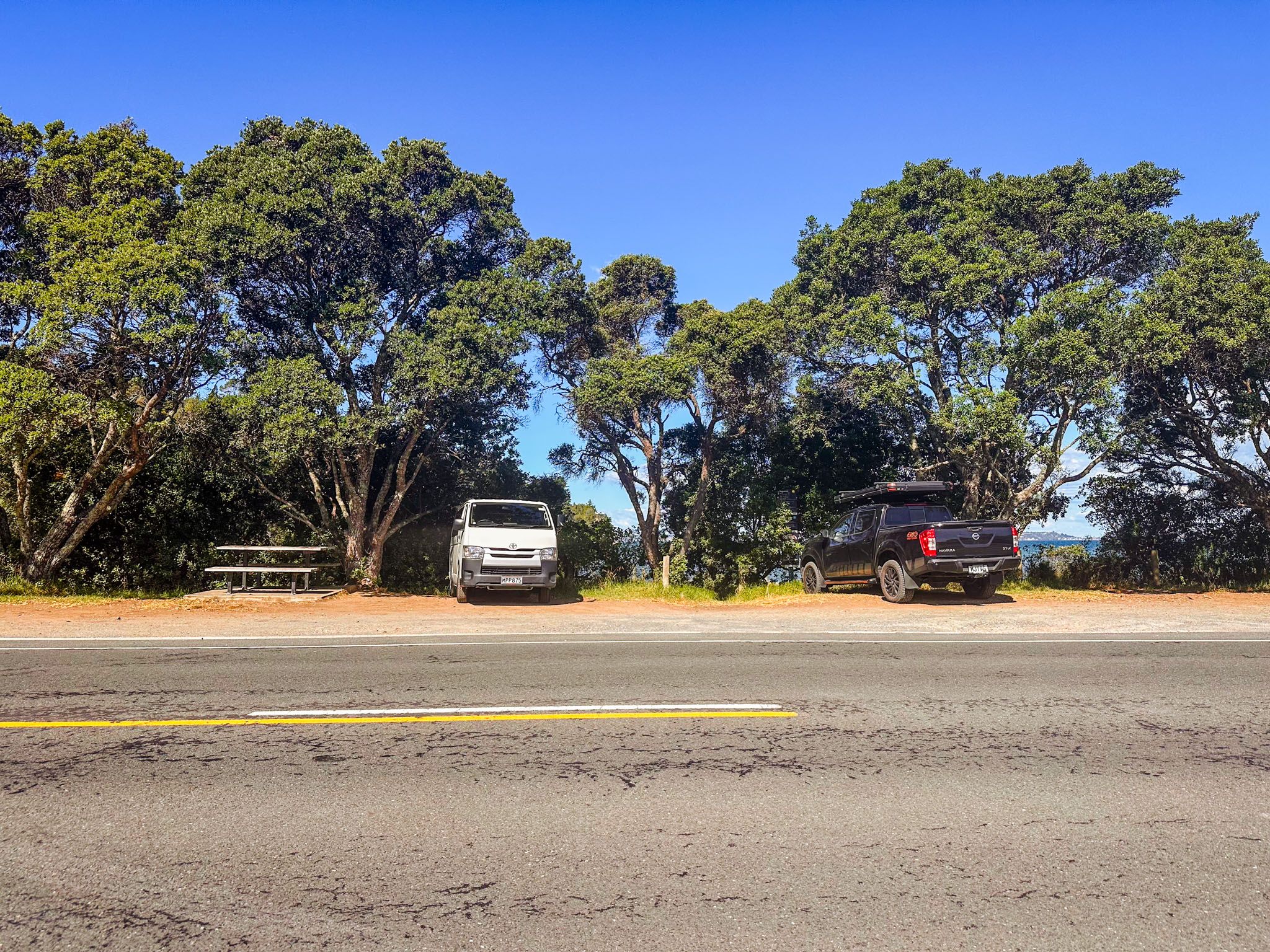
At the northern end of the beach, you'll find a reserve on both sides of the highway, providing ample parking space and a boat ramp. A highway bridge crosses the Ōtānerua Stream at the far north end.
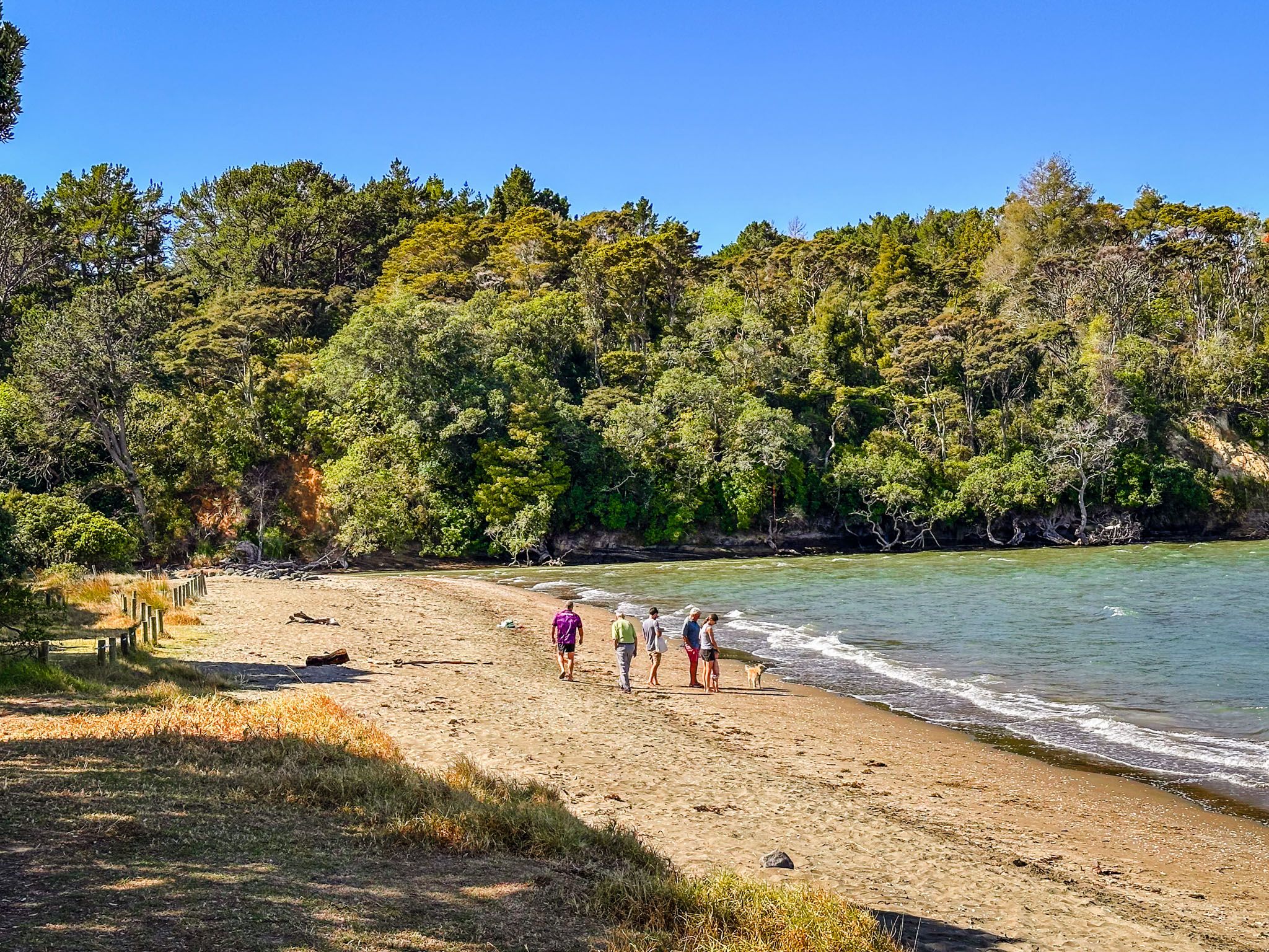
Despite the road's proximity to the beach, with just a narrow strip of grass and trees in between, the area is a favourite spot for beachgoers during sunny weekends and holidays. The beach is known for its safe swimming, and at low tide, you can walk Te Araroa along the rocky platforms that extend from the base of the cliffs south to Ōrewa or north to Waiwera.
Historical Background
The area is traditionally known as Ōtānerua, a name that refers to both the beach and the stream flowing into it. European settlers in the 1850s adopted a variation of this name, Otenerua. By 1870, the area was renamed Hatfield Bay, after John and Emma Hatfield, who settled there. The Hatfield family lived in the area for three generations.
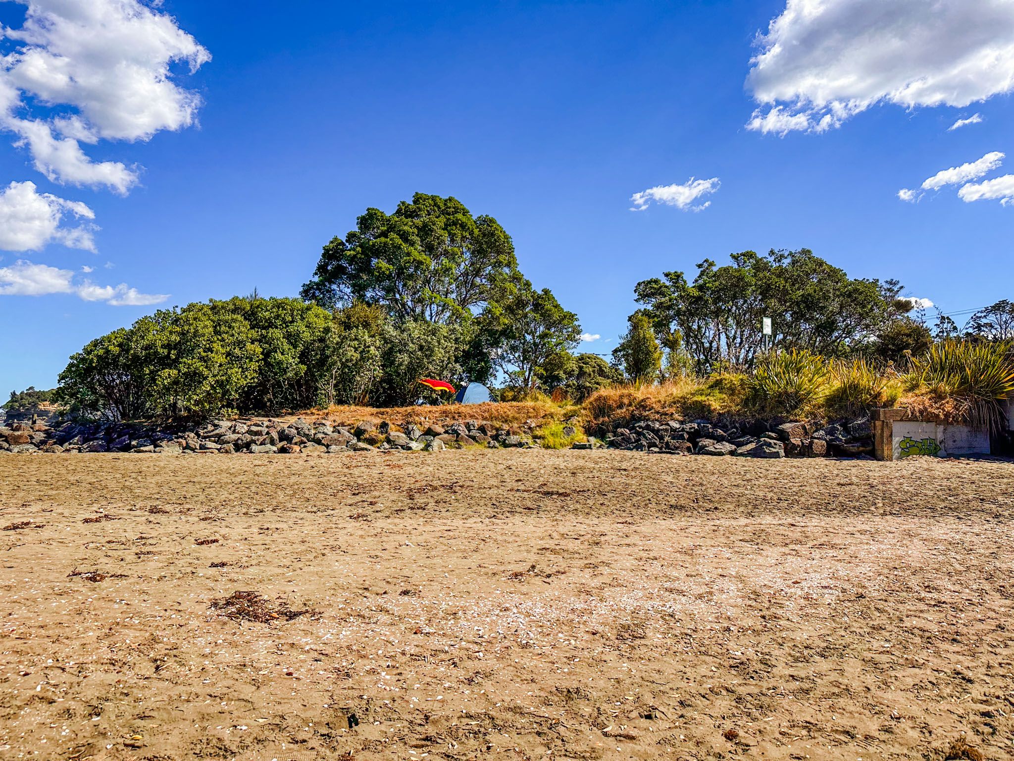
While camping is not permitted at Hatfields Beach, nearby options include the Orewa campground and Schischka Campground at Wenderholm Regional Park.
How to Get There
40 km north of Downtown Auckland, along the Twin Coast Discovery Highway. The fastest way to reach Hatfields Beach from Downtown Auckland is to take the northern motorway to the Puhoi off-ramp. From there, head south on the Twin Coast Discovery Highway, passing Wenderholm and Waiwera. If you prefer to avoid tolls, take the Ōrewa / Grand Drive offramp and connect with the highway through the town.
Other nearby attractions include Alice Eaves Scenic Reserve, Te Ara Tahuna Pathway, Red Beach and Stanmore Bay. To the north is Mahurangi Regional Park and Warkworth on the Matakana Coast.