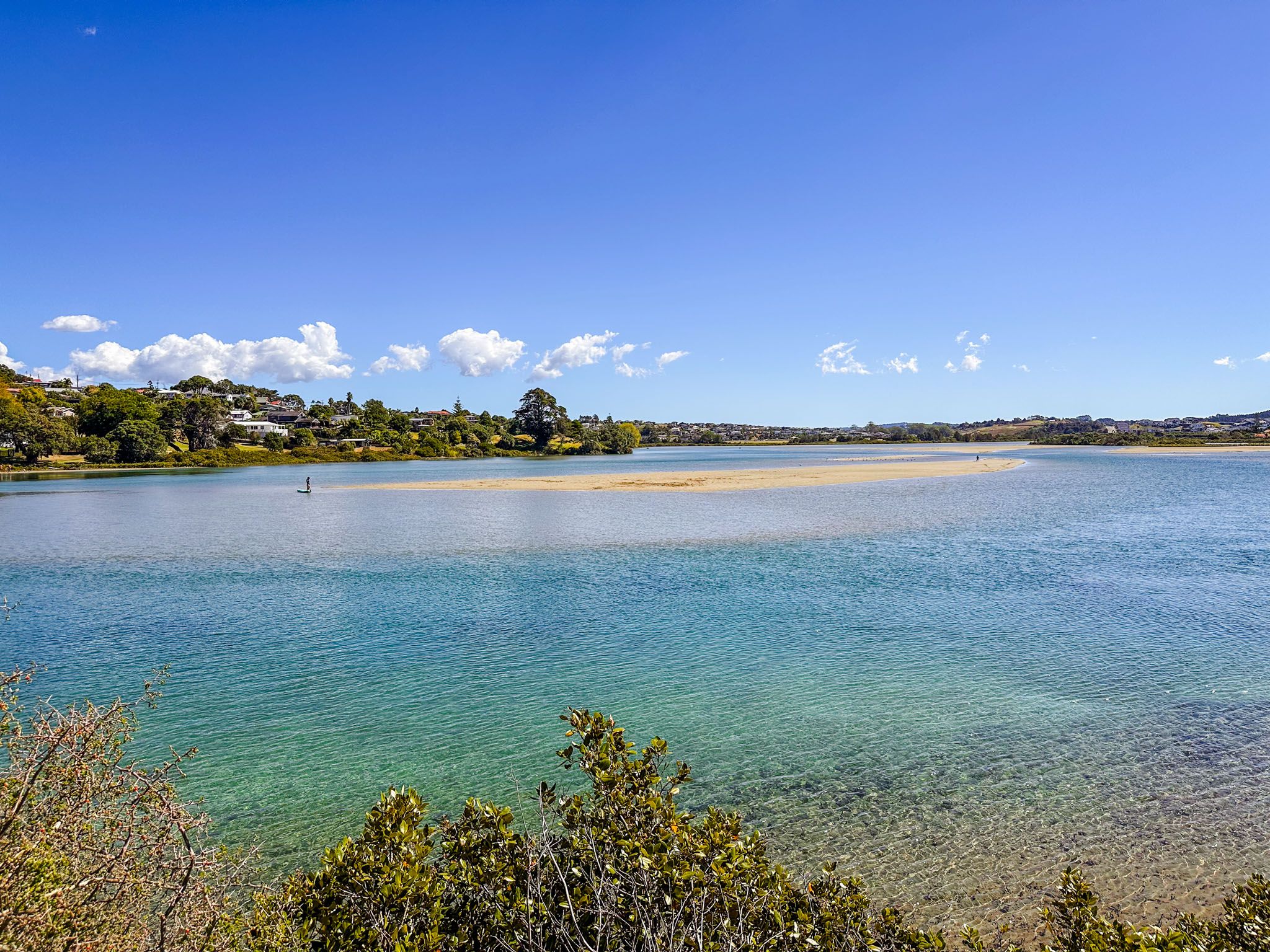
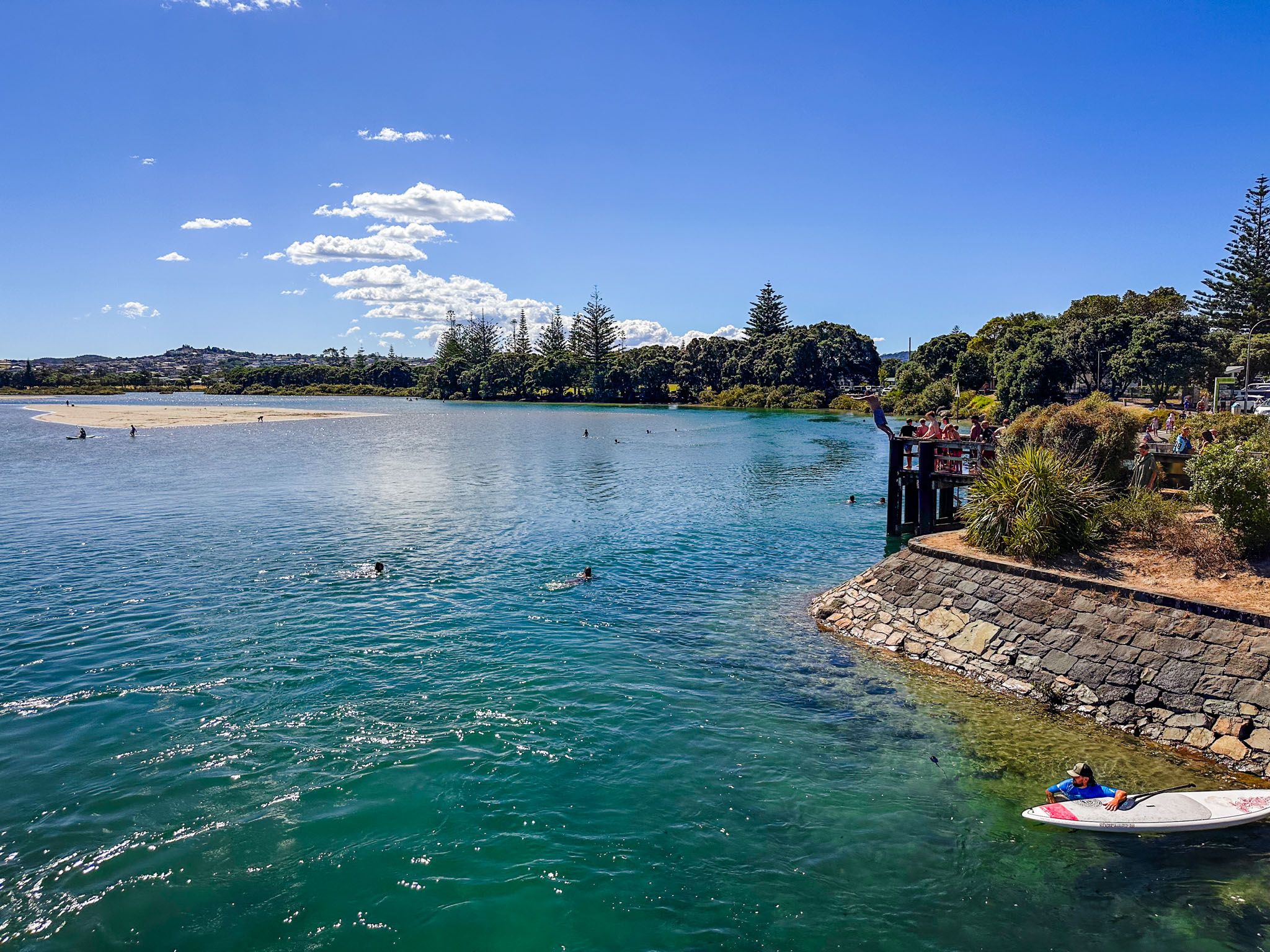
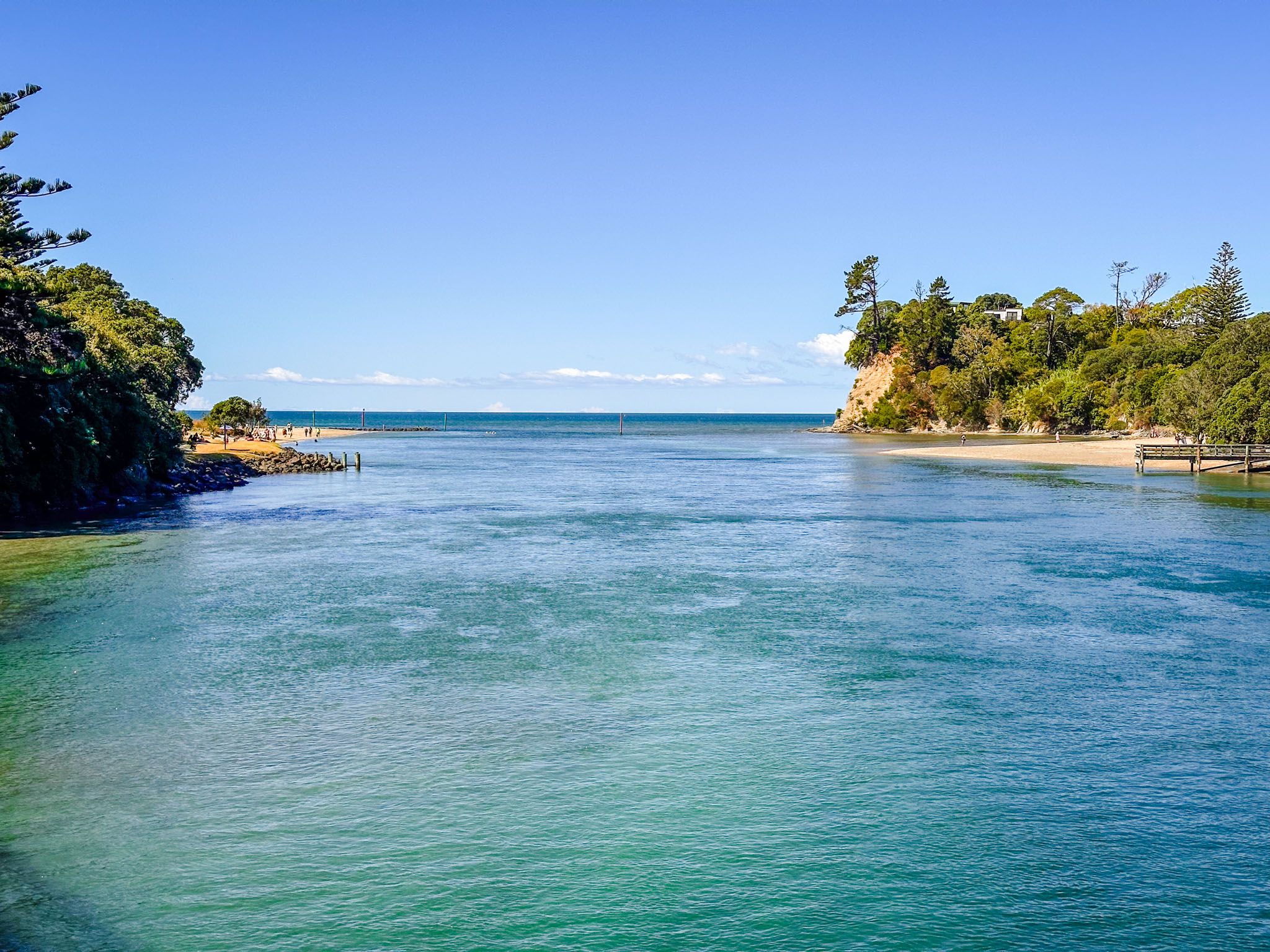
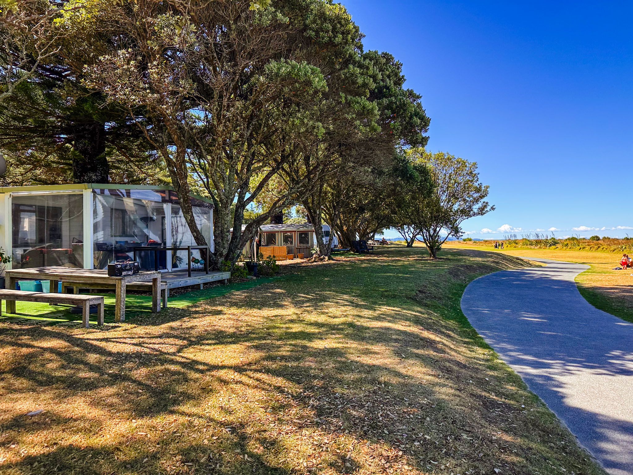
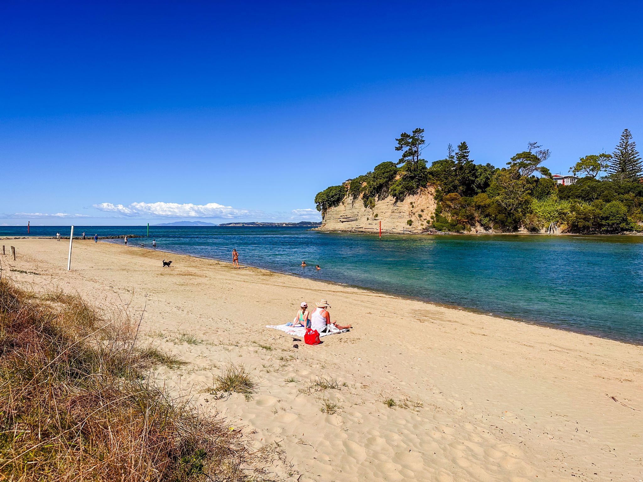
Te Ara Tahuna Pathway is a shared sealed path that runs around the edge of the Ōrewa River estuary in northern Auckland, and is also a section of Te Araroa. The river flows eastward, emptying into Whangaparāoa Bay, immediately north of the Whangaparaoa Peninsula. The town of Ōrewa and Ōrewa Beach are north of the river's estuary and mouth.
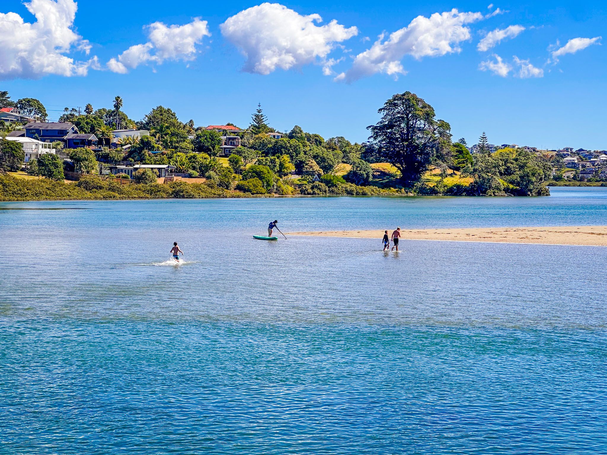
The Ōrewa River flows through the Hibiscus Coast before reaching the Hauraki Gulf, in Whangaparaoa Bay. The river estuary also features an island close to the river mouth, known as Te Motu-o-Marae-Ariki, or Crocodile Island.
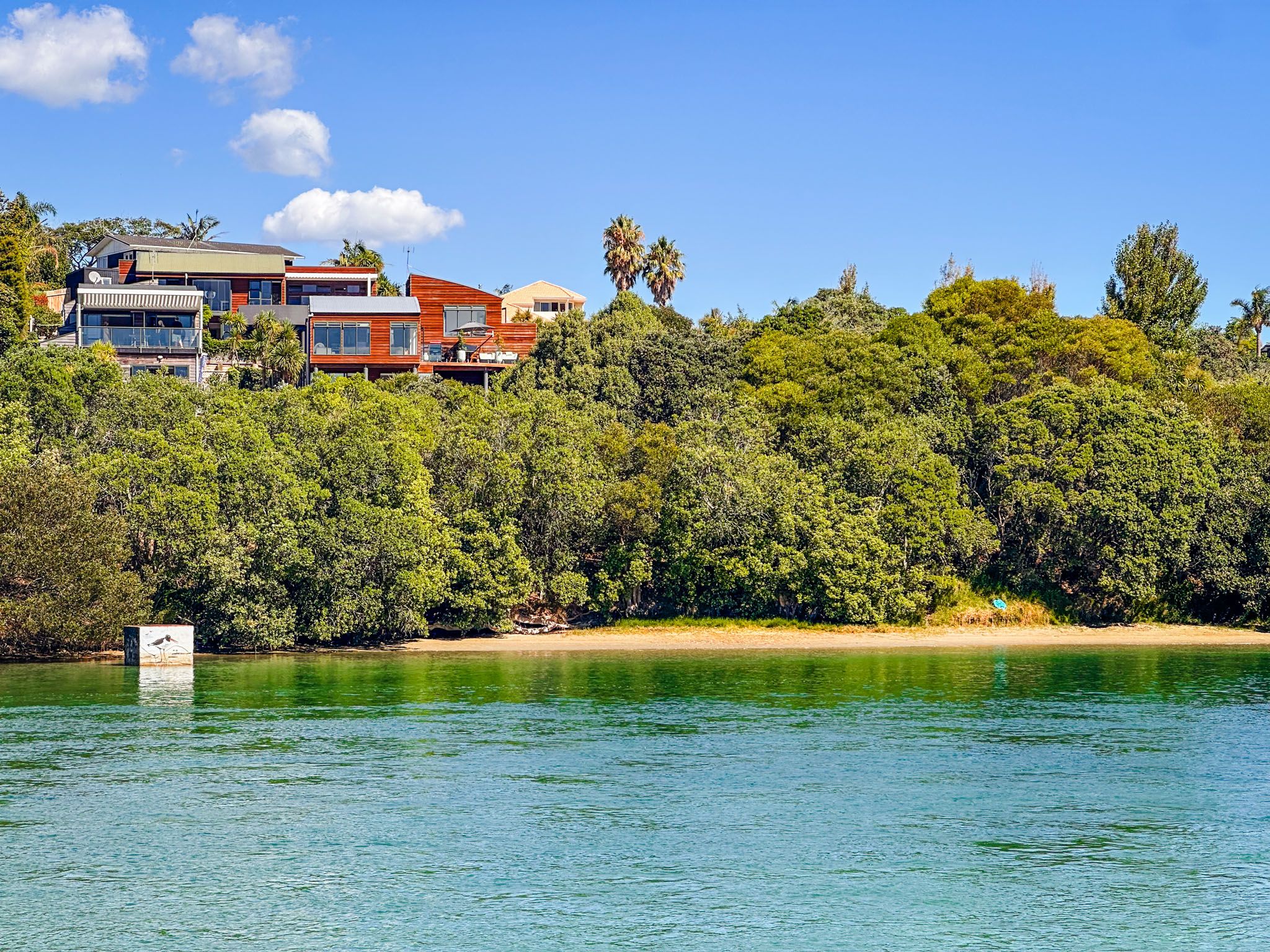
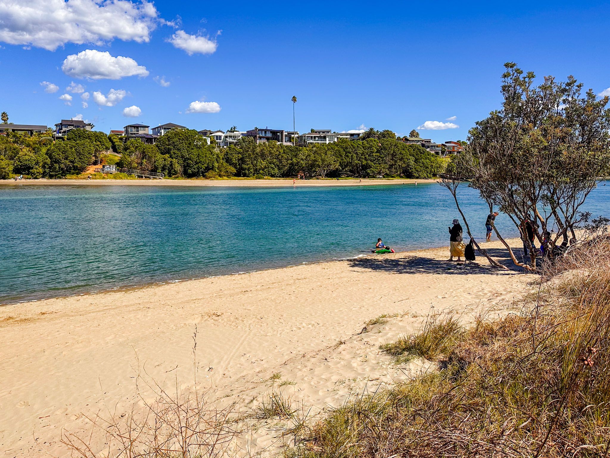
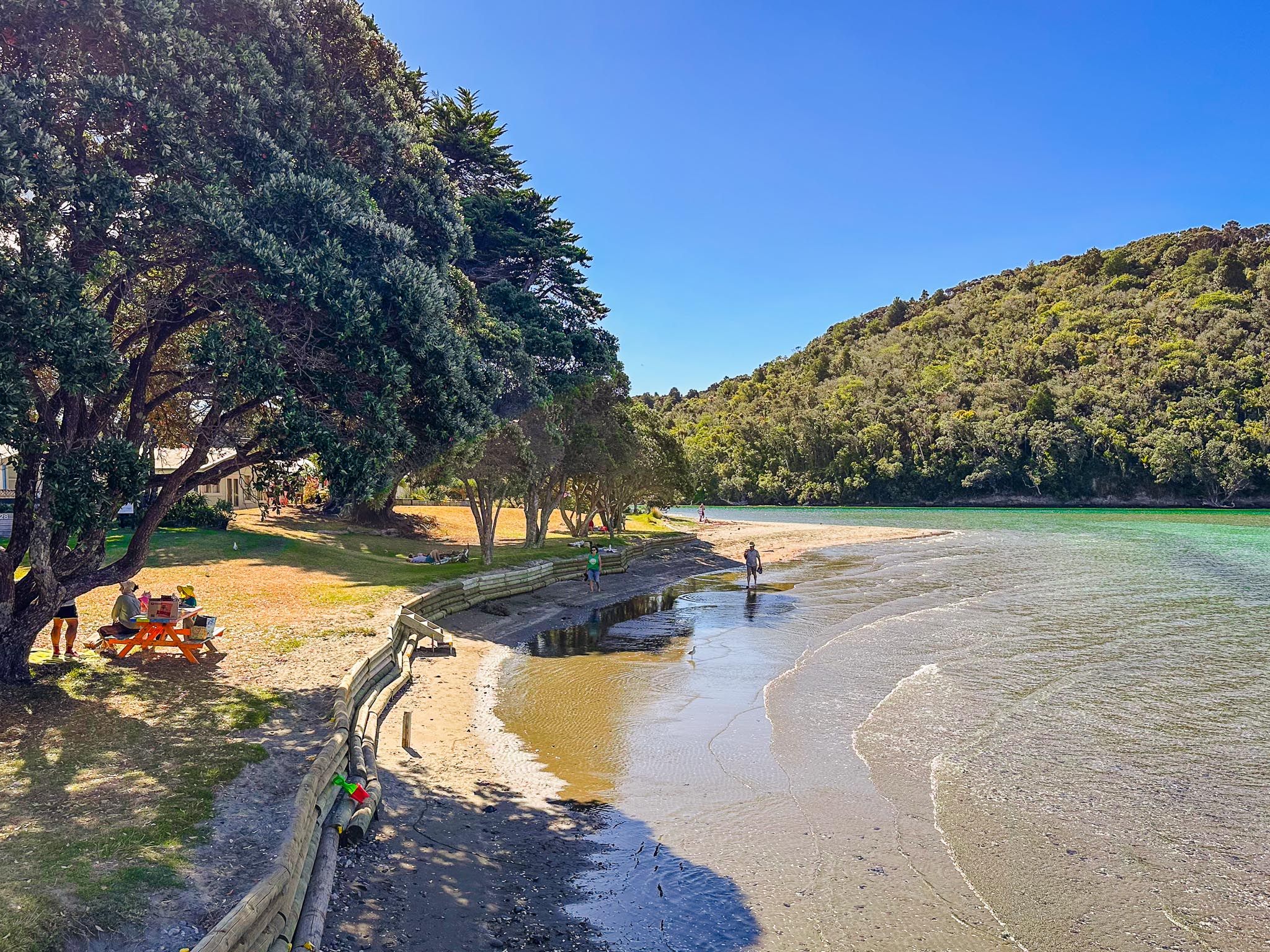
The pathway is a flat, easy 7.6 km loop that takes about 90 minutes to 2 hours to walk. It starts at Western Reserve off the Twin Coast Discovery Highway, next to the Estuary Arts Centre and a cafe. There are views across the estuary, which is picturesque on a nice day. The historical significance as a traditional food-gathering site for Māori is captured in Māori carvings along the way. Although the path lies between suburbia and the estuary for much of its distance, expect to spot diverse birdlife, paddleboarders, and kite surfers. There are also cafes along the path as you pass through the suburb of Millwater.
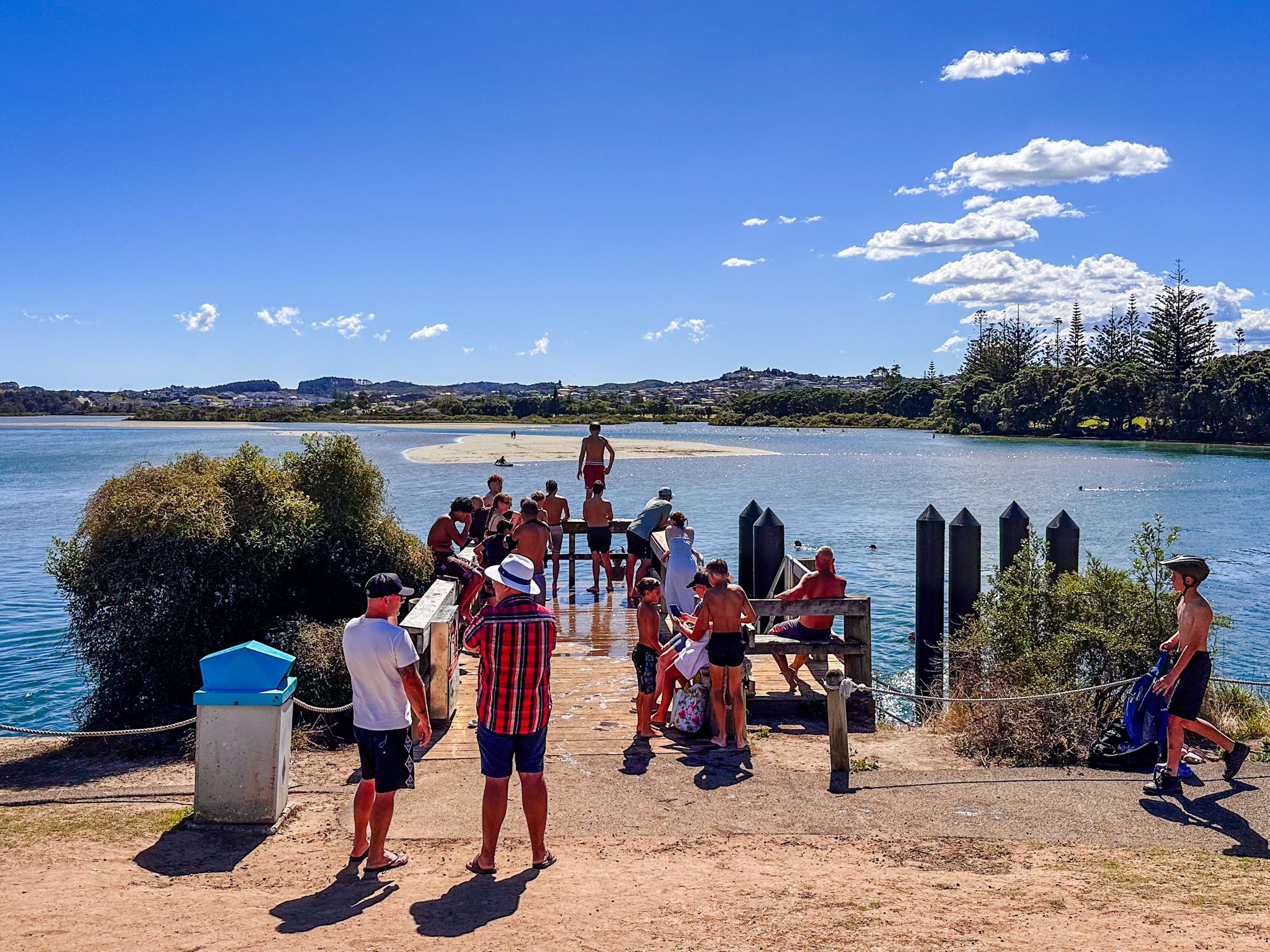
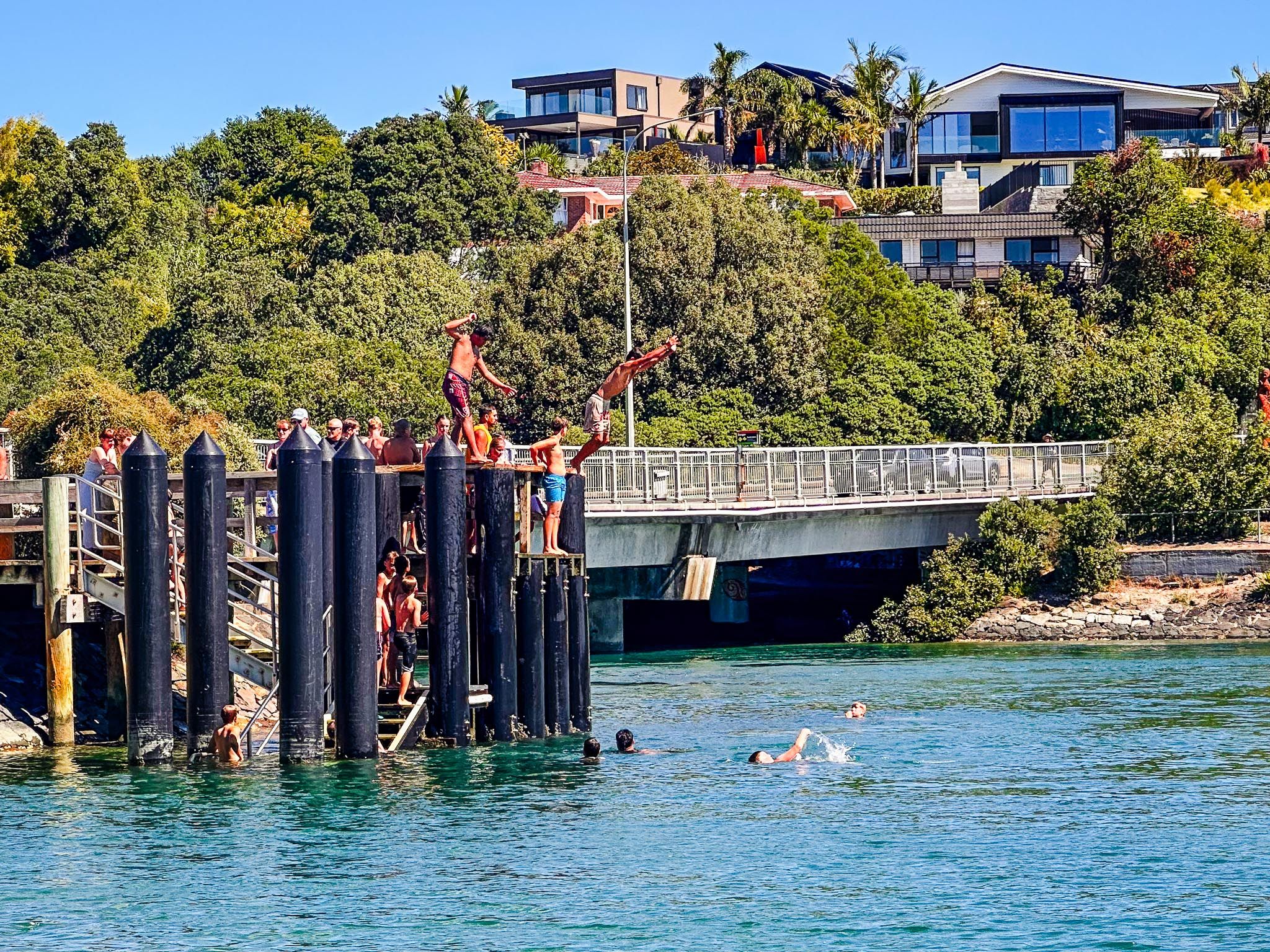
Once you have completed the loop, and if the tide is in, consider jumping off the small pier next to the Twin Coast Discovery Highway bridge, along with the kids! Or cross the road and follow the path between the campground and the river mouth to the beach. It’s also a relatively short additional distance to the cafes and shops of the town centre.
From Downtown Auckland, take the Northern Motorway to the Silverdale off-ramp, then continue 15 minutes along the Twin Coast Highway, across the Ōrewa River Bridge, with parking and the start of the track on the left. Alternatively, exit at Grand Drive and drive directly into the town centre. From there, head south along the Twin Coast Discovery Highway towards the bridge.
