Discover the Cudlip Point Loop Track
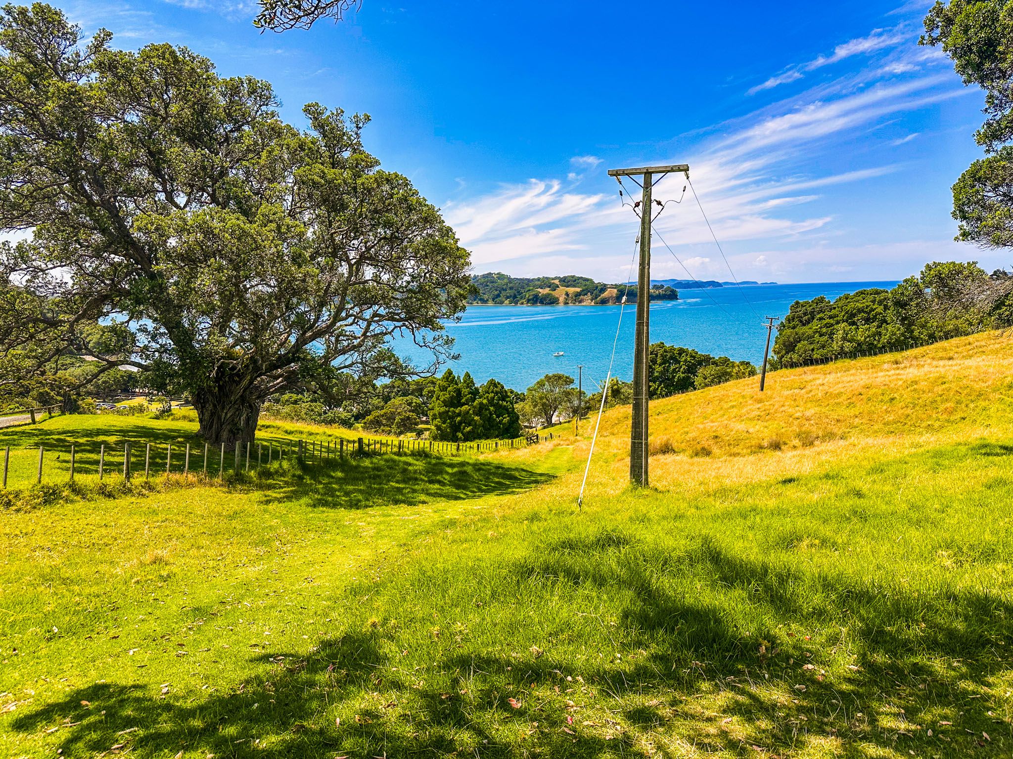
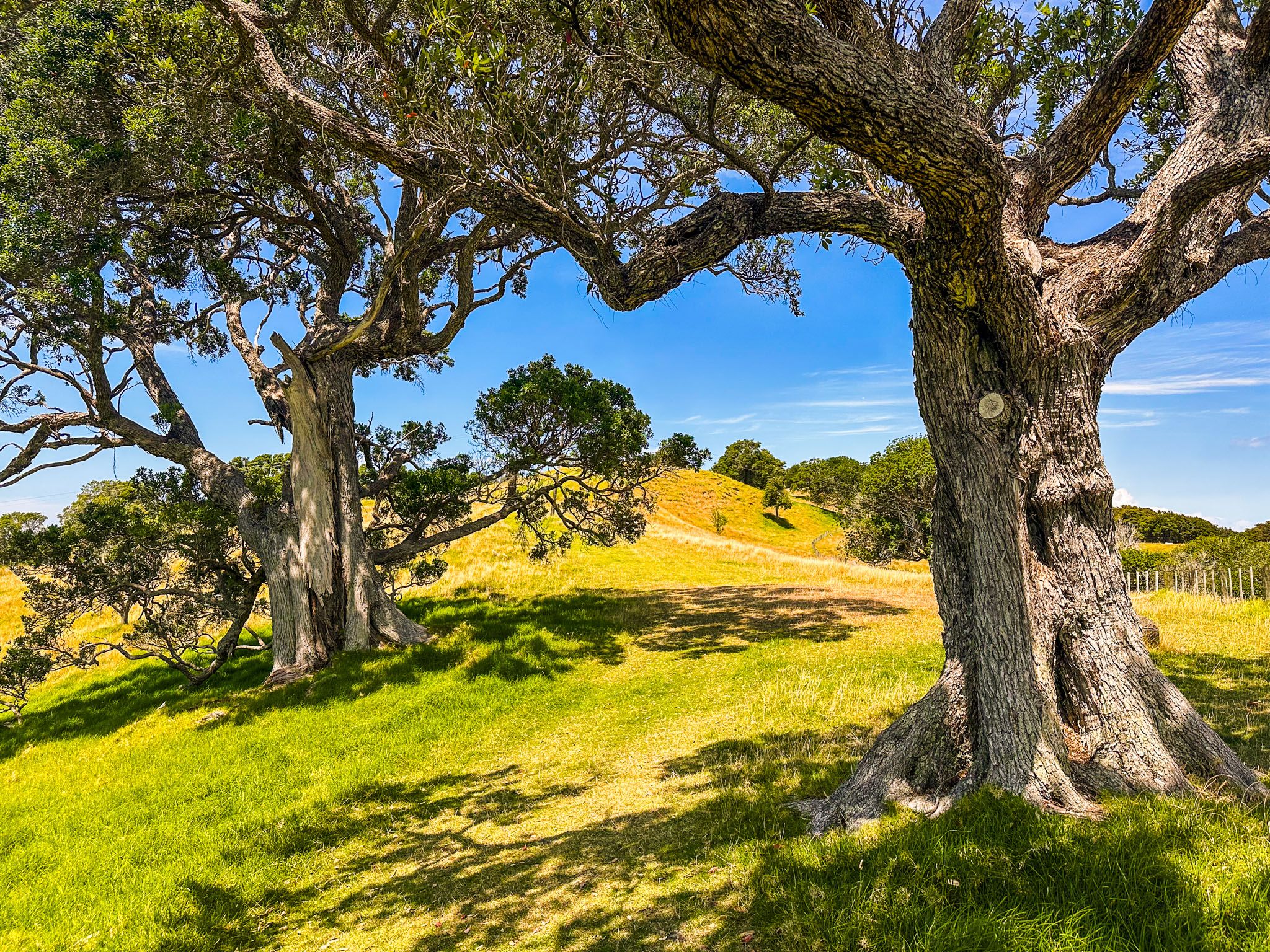
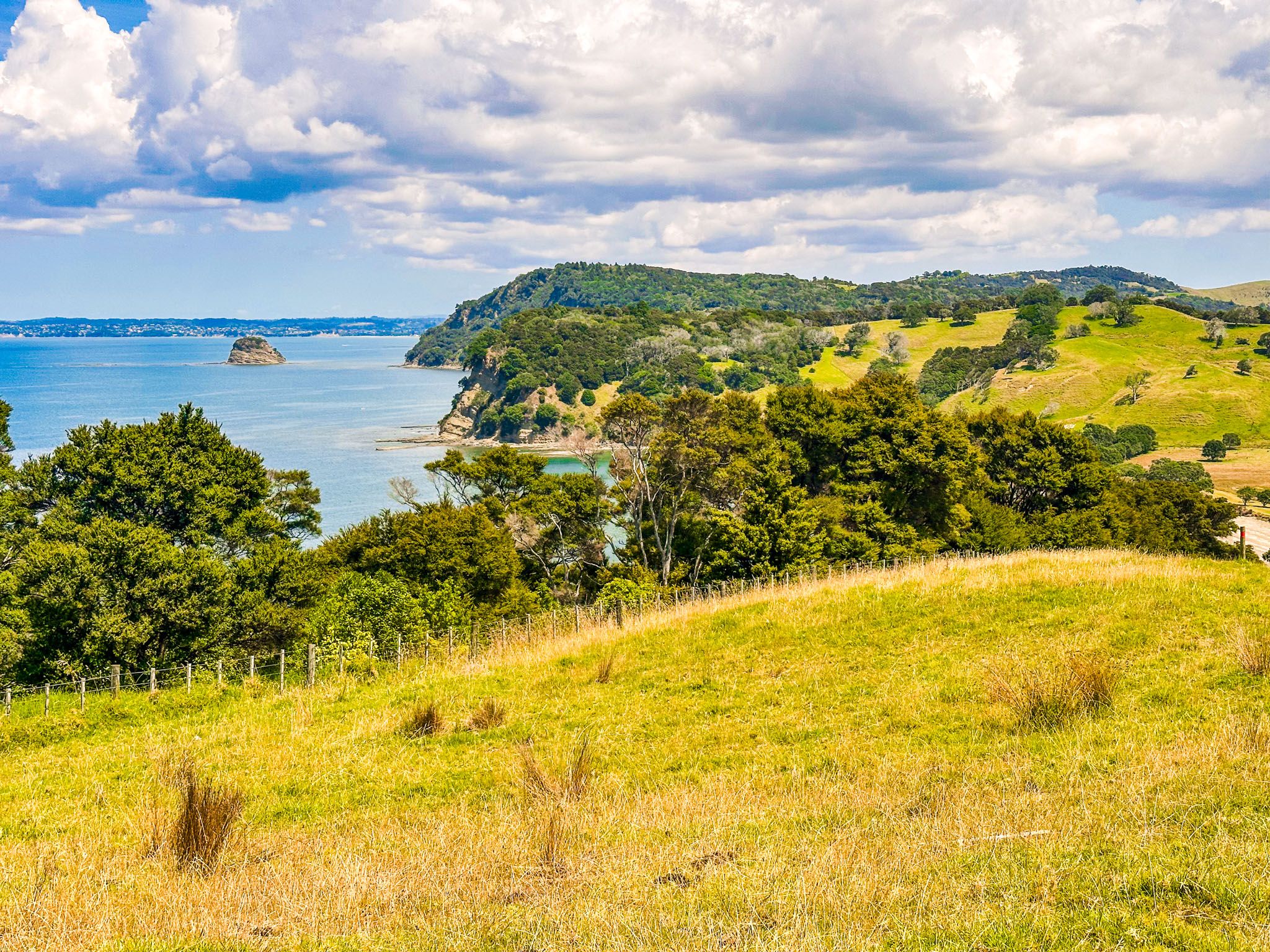
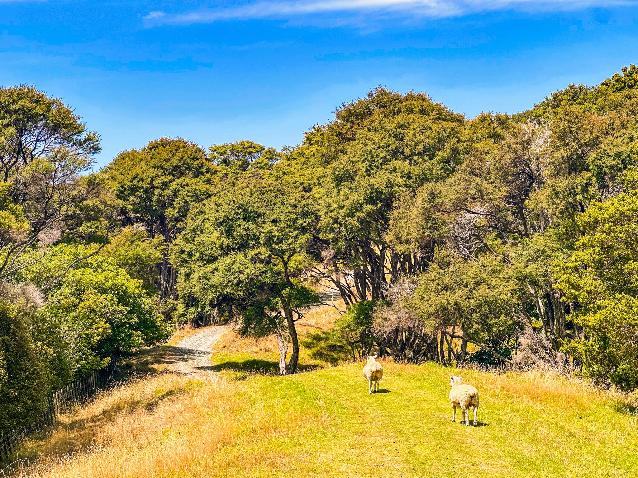
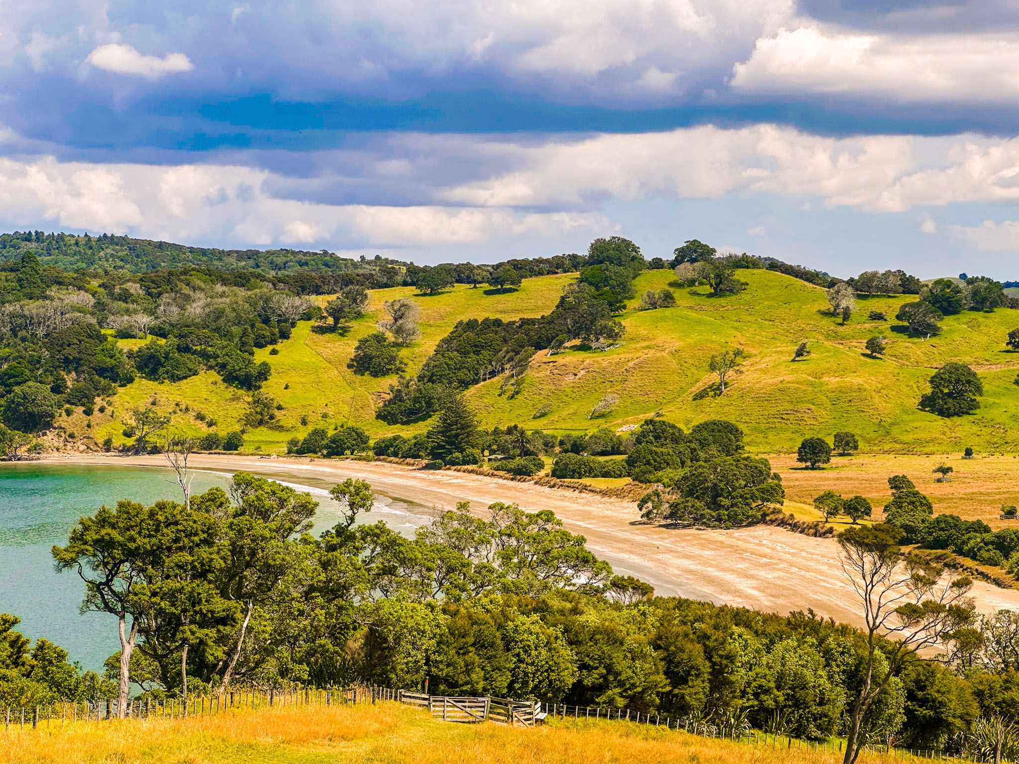
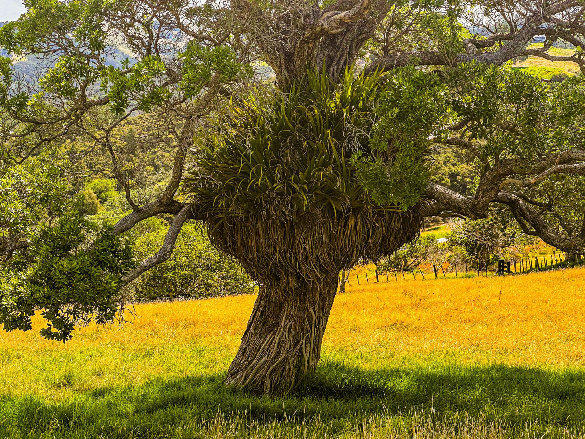
Located at the southeast end of Mahurangi Harbour in Mahurangi Regional Park West, Auckland, the Cudlip Point Loop Track is a 90-minute, 3 km walk from Otarawao Bay to Cudlip Point. This track combines a mix of coastal views and farmland scenery. As you traverse the trail, you'll encounter sheep grazing in the paddocks and enjoy the sight of wind-shaped, exposed trees along the ridge.
Exploring the Track
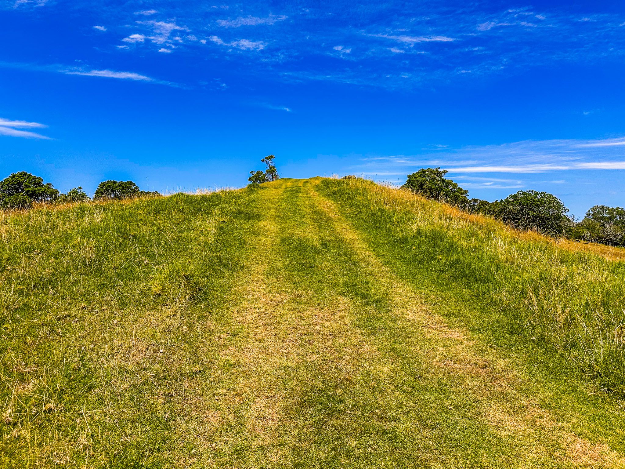
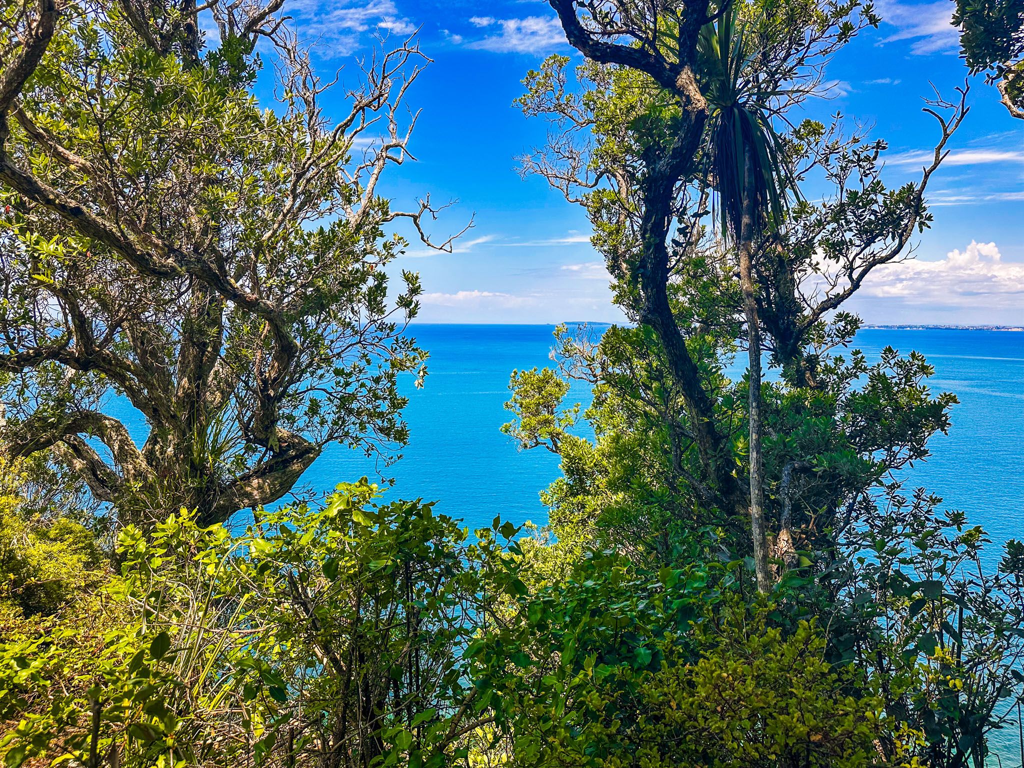
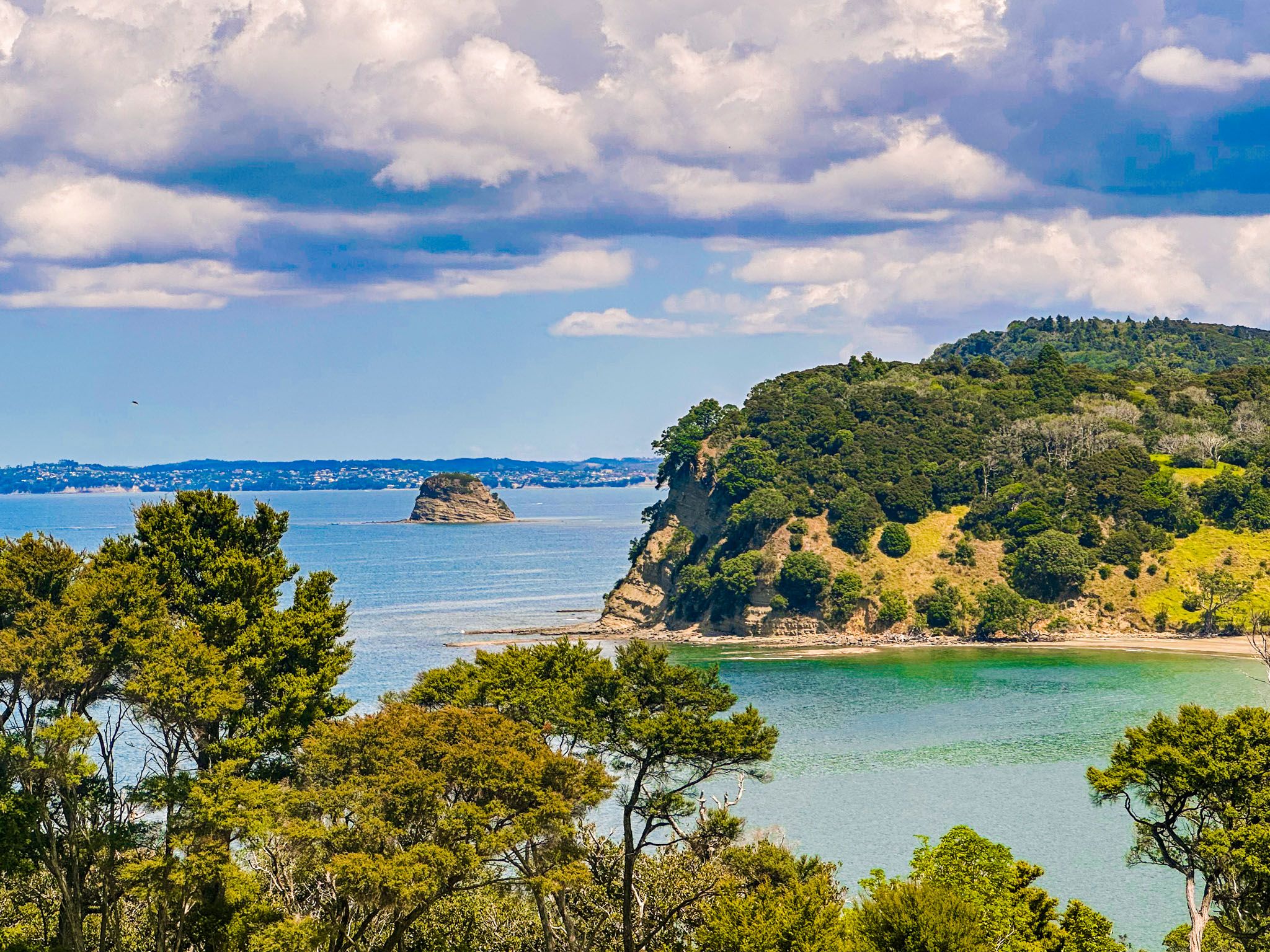
The track begins at the southern end of the car park behind the beach and the upper car park in Otarawao Bay. It ascends through farmland before following the ridge line to Cudlip Point. The track is mainly over grassland, with forest regrowth along the north side of the track. The last 200 metres of the trail to the end of the point are covered in regrowth forest. Although a viewpoint above the cliffs offers a glimpse of the coast to the south, the forest largely obscures the view.
Return Journey and Te Muri Bay
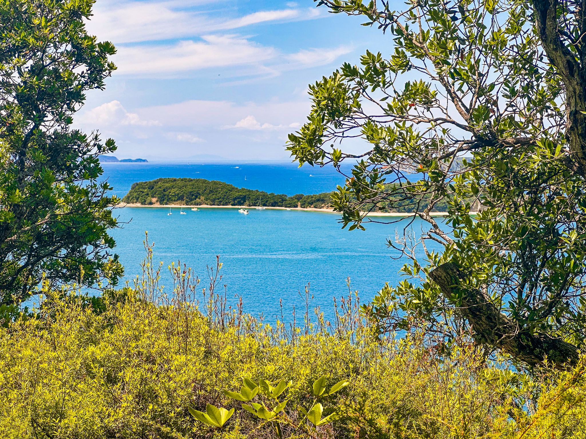
On your return, a loop turnoff guides you towards Te Muri Bay. You can cross the estuary to reach the beach at Te Muri Bay for two hours on either side of low tide. After visiting the bay, continue along the Cudlip Point Loop Track beside the estuary to the farm road, leading back to Otarawao Bay.
Te Muri Bay
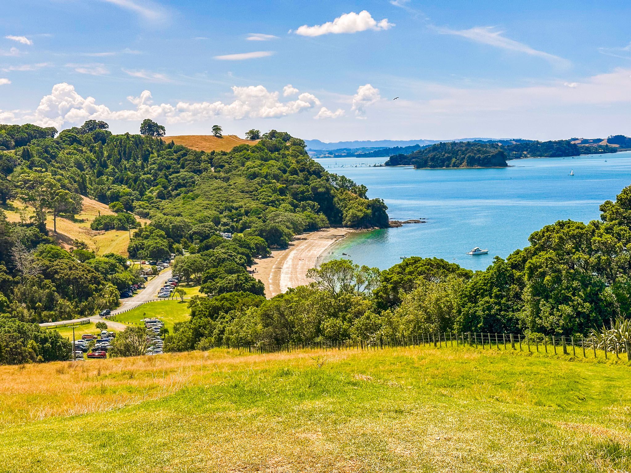
After crossing the estuary at Te Muri Bay, you'll find a historic cemetery. The 600-metre beach here is often quiet, providing a peaceful spot for swimming, though it lacks shade. The track continues to the point at the beach's southern end and along the edge of the Puhoi River, with views of Wenderholm Regional Park across the water.
How to Get There
Mahurangi Regional Park West is reached on Mahurangi West Road, then Ngarewa Drive, from the Twin Coast Discovery Highway, between Puhoi and Warkworth. The trail begins at the southern end of the car park behind the beach and the upper car park.
While in the park, you can also explore Tungutu Point and the track to Otuawaea Bay.