Exploring Otarawao (Sullivans) Bay
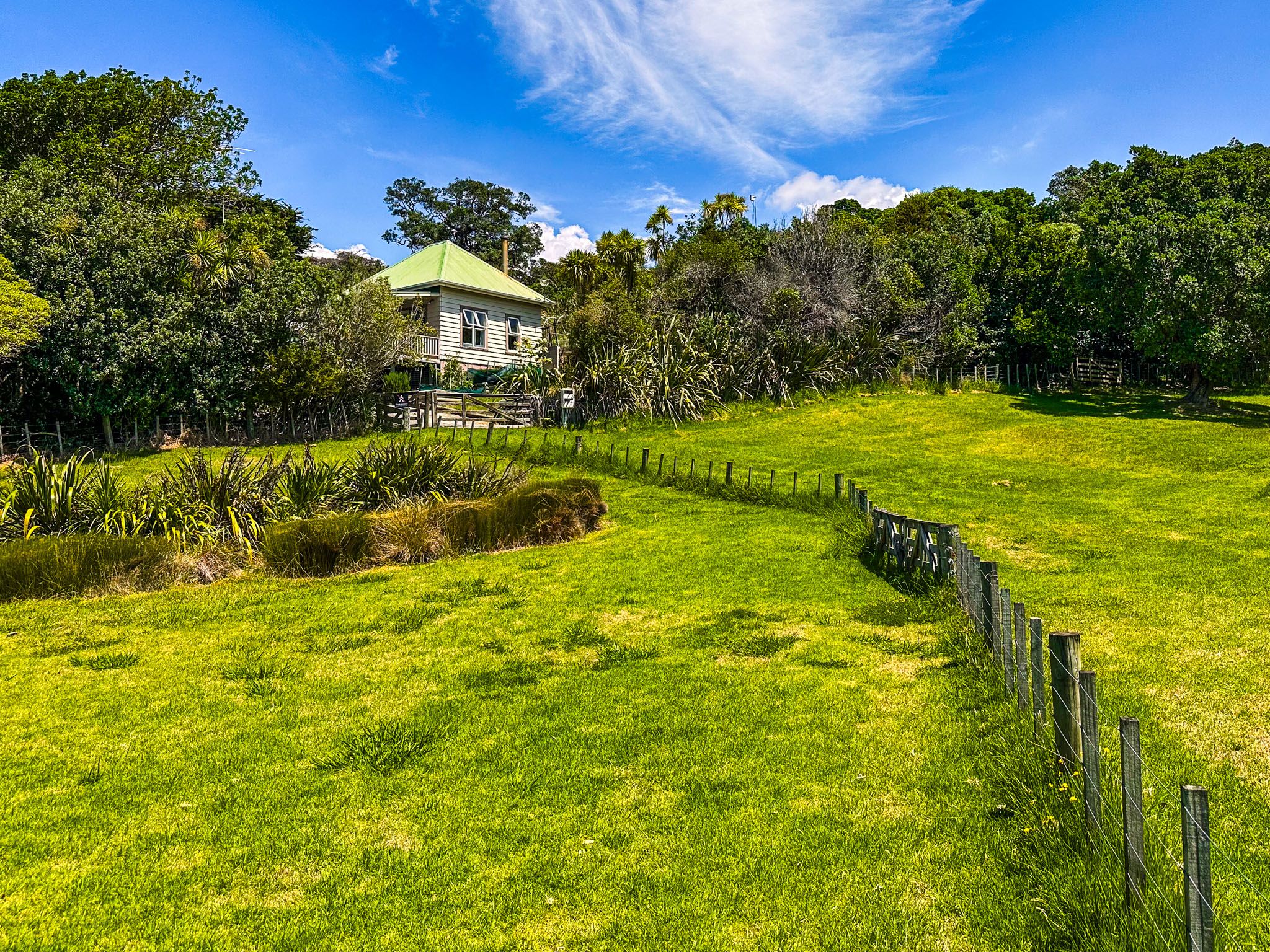
Otarawao (Sullivans) Bay is the focal point of Mahurangi Regional Park West on the Matakana Coast, situated west of Cudlip Point at the southern entrance to Mahurangi Harbour. This bay is an ideal spot for a day trip, with a calm, safe beach environment for swimming and kayaking. The park's access road, Ngarewa Drive, leads directly to the bay, where you'll find parking, information panels, and toilet facilities.
Beach and Recreation
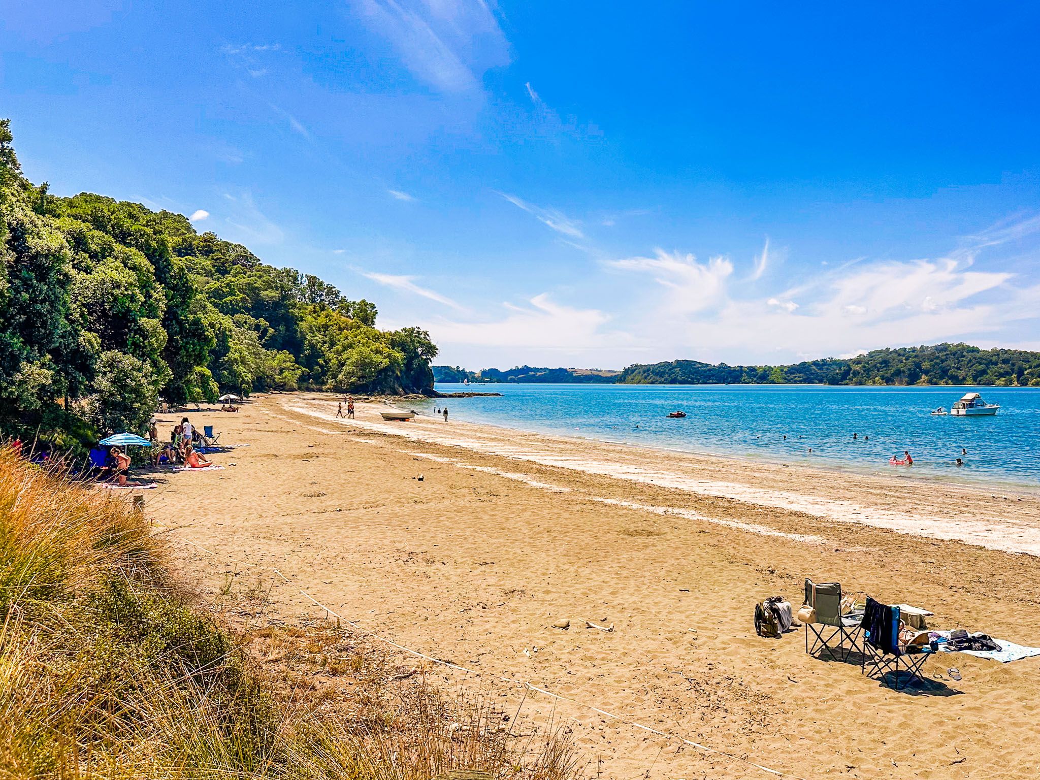
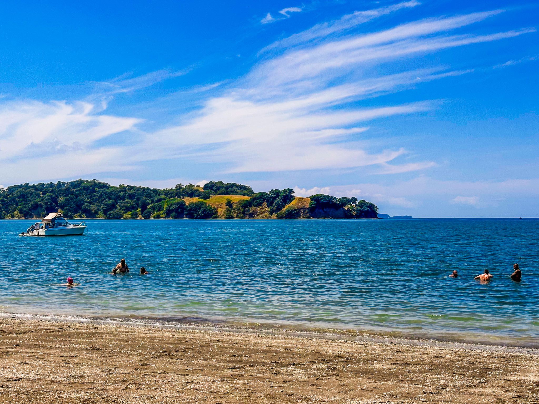
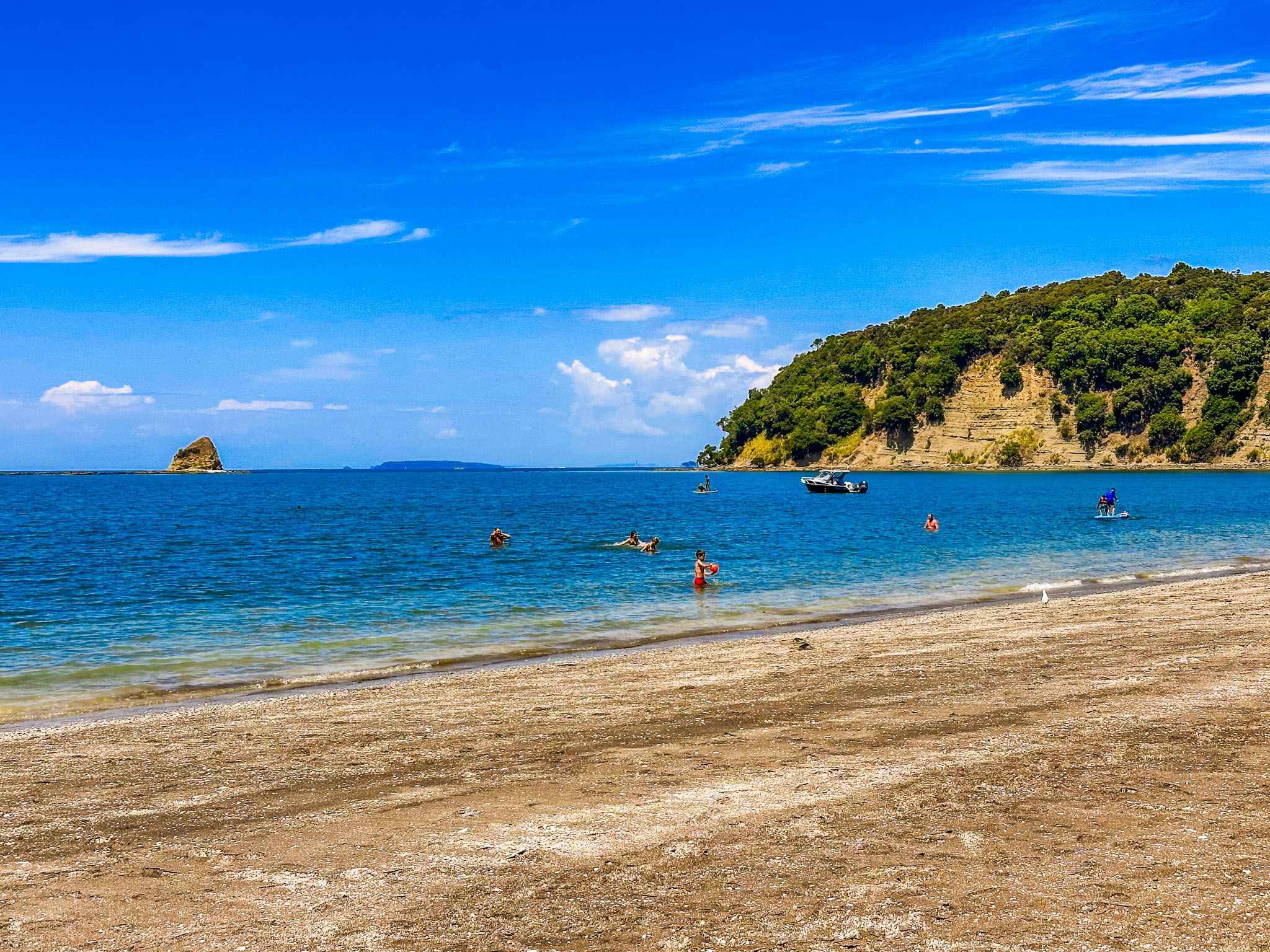
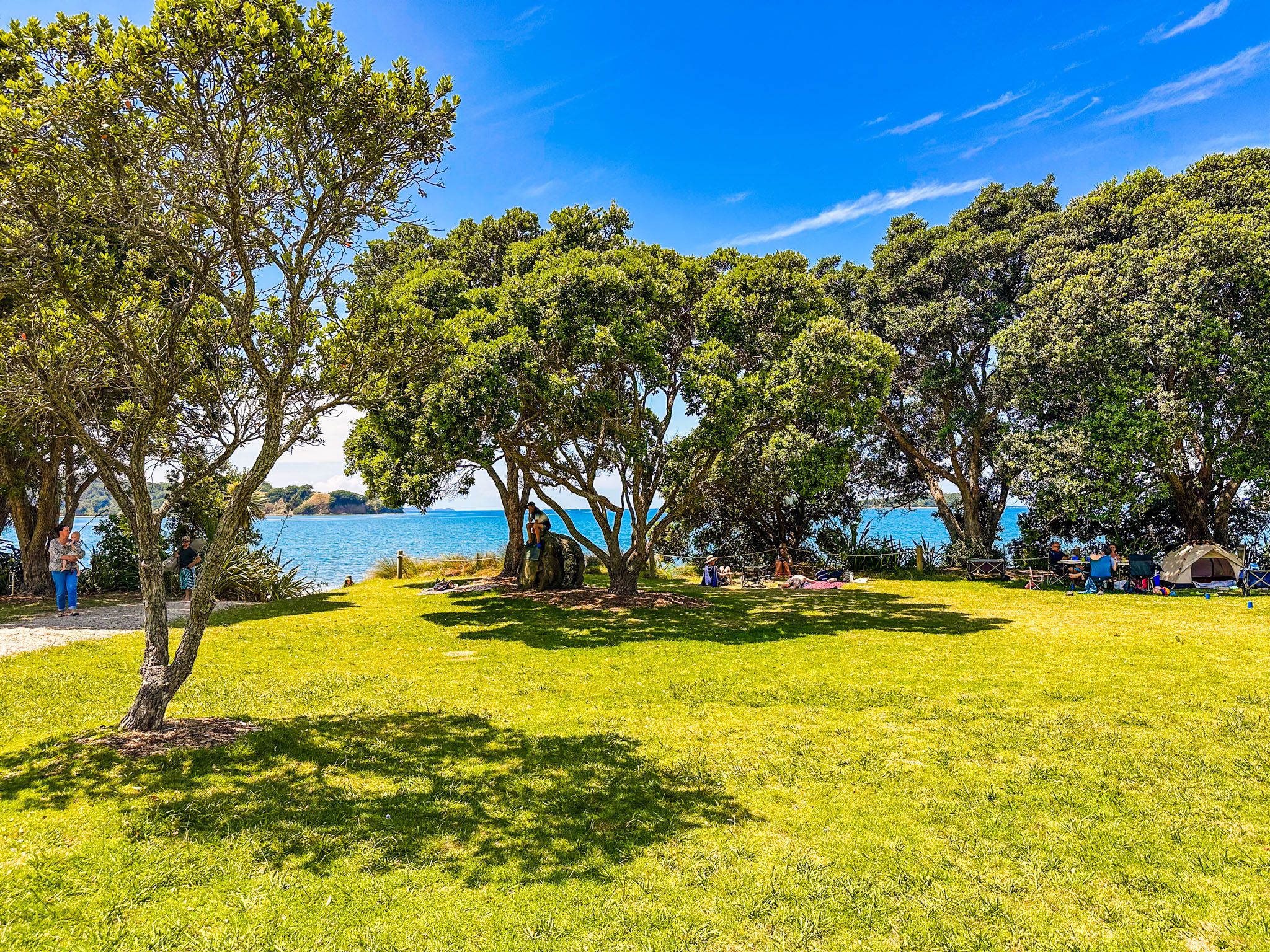
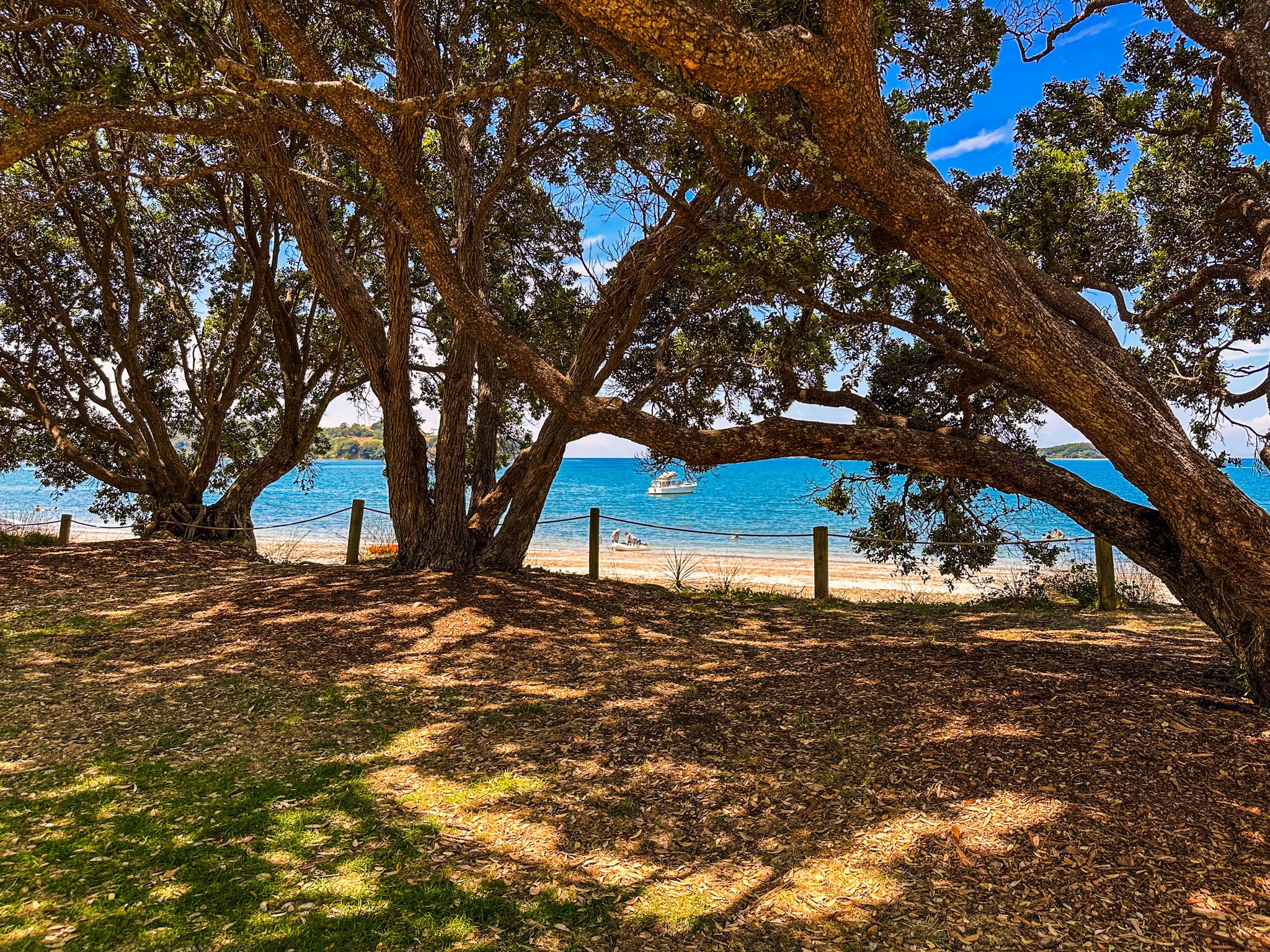
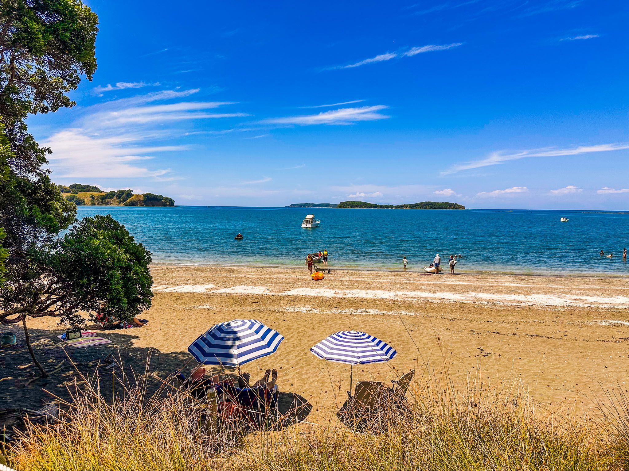
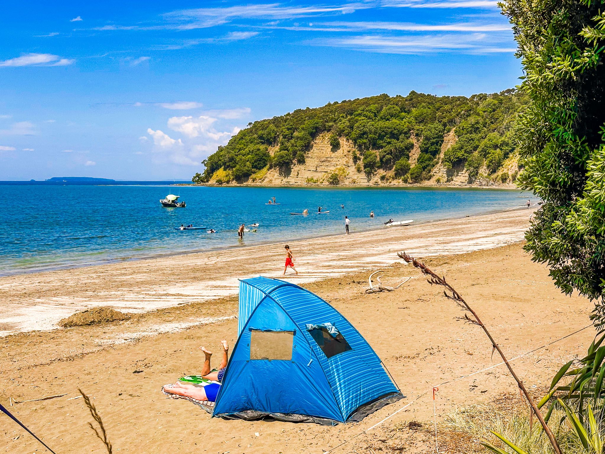
The 600-metre beach at Otarawao Bay is characterised by its white to gold sand, shaded by pōhutukawa trees. The calm waters make it a safe swimming location, while the harbour is perfect for kayaking. At the southern end of the beach, a grassy reserve provides picnic spots, and behind the northern end, there is a campground suitable for campervans and tents.
Walking Tracks and Scenic Views
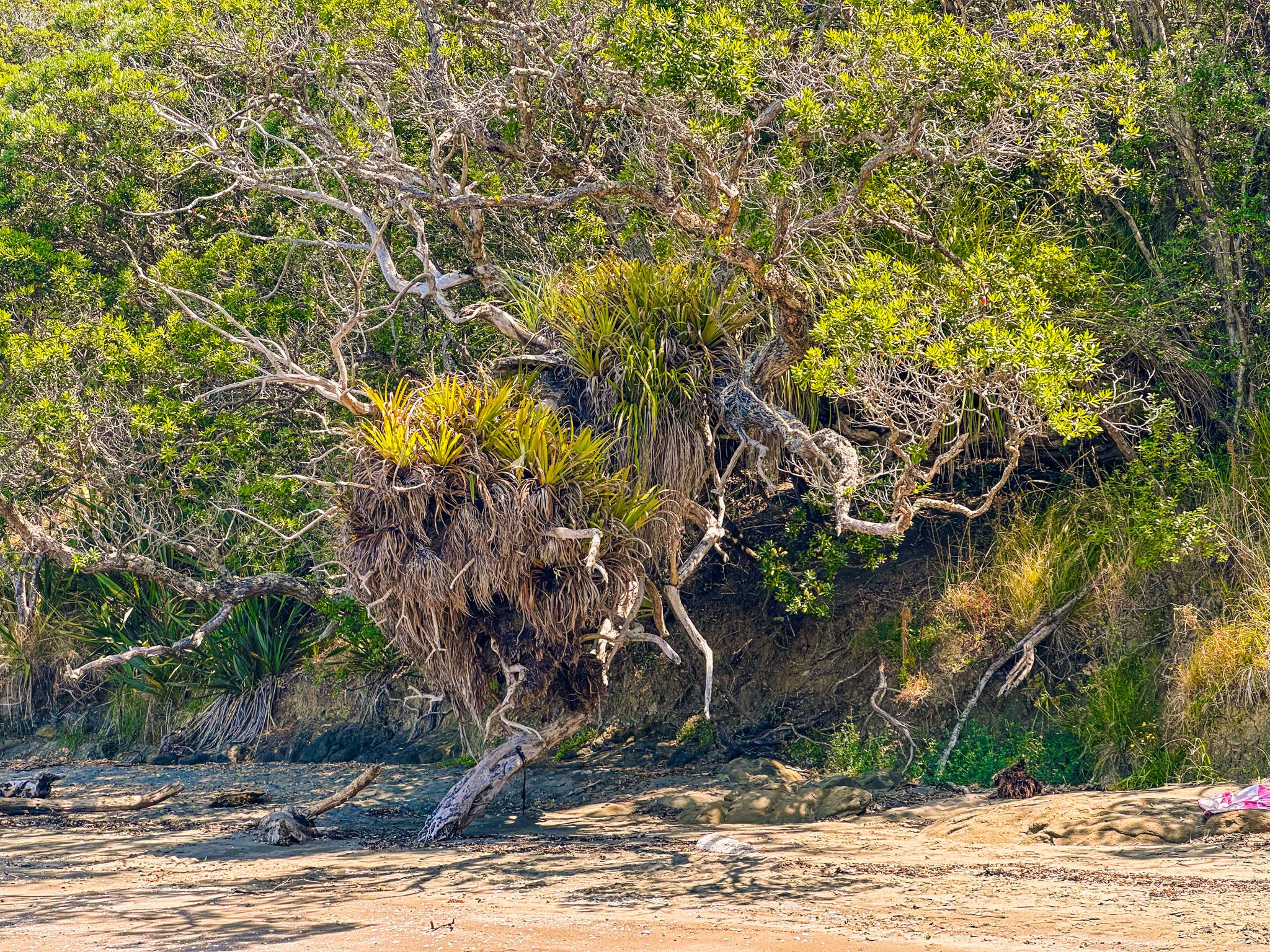
Otarawao Bay is linked to the rest of Mahurangi Regional Park by several loop walking tracks. Views from the Tungutu Point Loop Track are stunning as it heads north over Tungutu Point, connecting to the Mita Bay Loop Track, which leads to Otuawao (Mita) Bay and a walk-in campsite. The Cudlip Point Loop Track takes you southeast from the beach to Cudlip Point, featuring a short walk through regrowth forest. Additionally, Te Muri Bay and the Te Muri Bay Loop Track can be accessed via a farm road from Otarawao Bay. Note that Te Muri is accessible only for two hours on either side of low tide and also has a walk-in campsite.
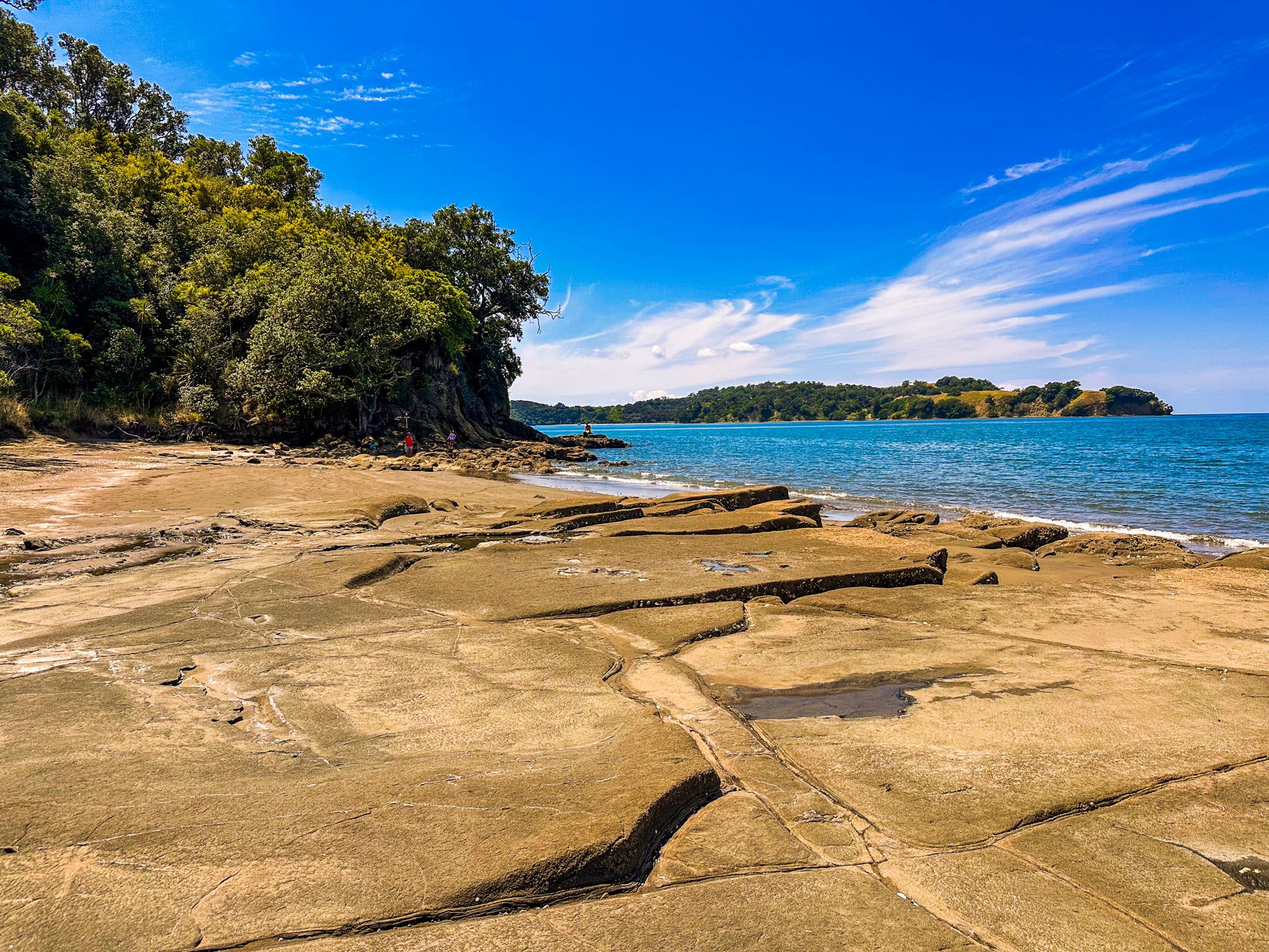
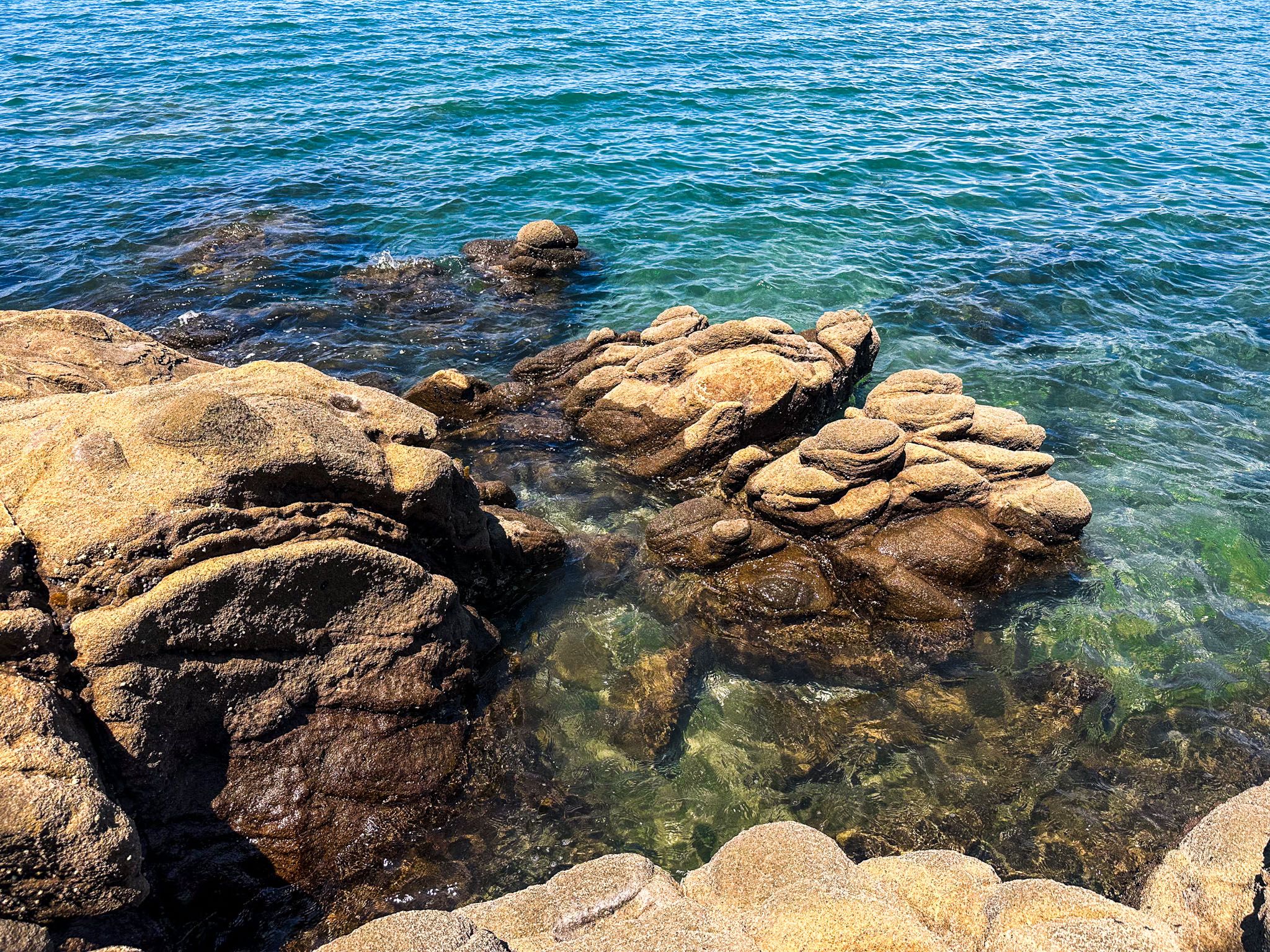
You can explore southward around the rocky coast to Pudding Island, which is also accessible at low tide.
Getting to Otarawao (Sullivans) Bay
To reach Otarawao Bay from Auckland, take the northern motorway to the Puhoi off-ramp. Continue north of the Twin Coast Discovery Highway until you reach the turnoff for Mahurangi West Road and follow this to Ngarewa Drive, which ends at the bay itself.
Nearby, you can head south to Wenderholm Regional Park and Waiwera. Heading north takes you to Warkworth, the Mahurangi Peninsula, and Matakana.