Exploring the Waitākere Ranges: Auckland's Natural Gem
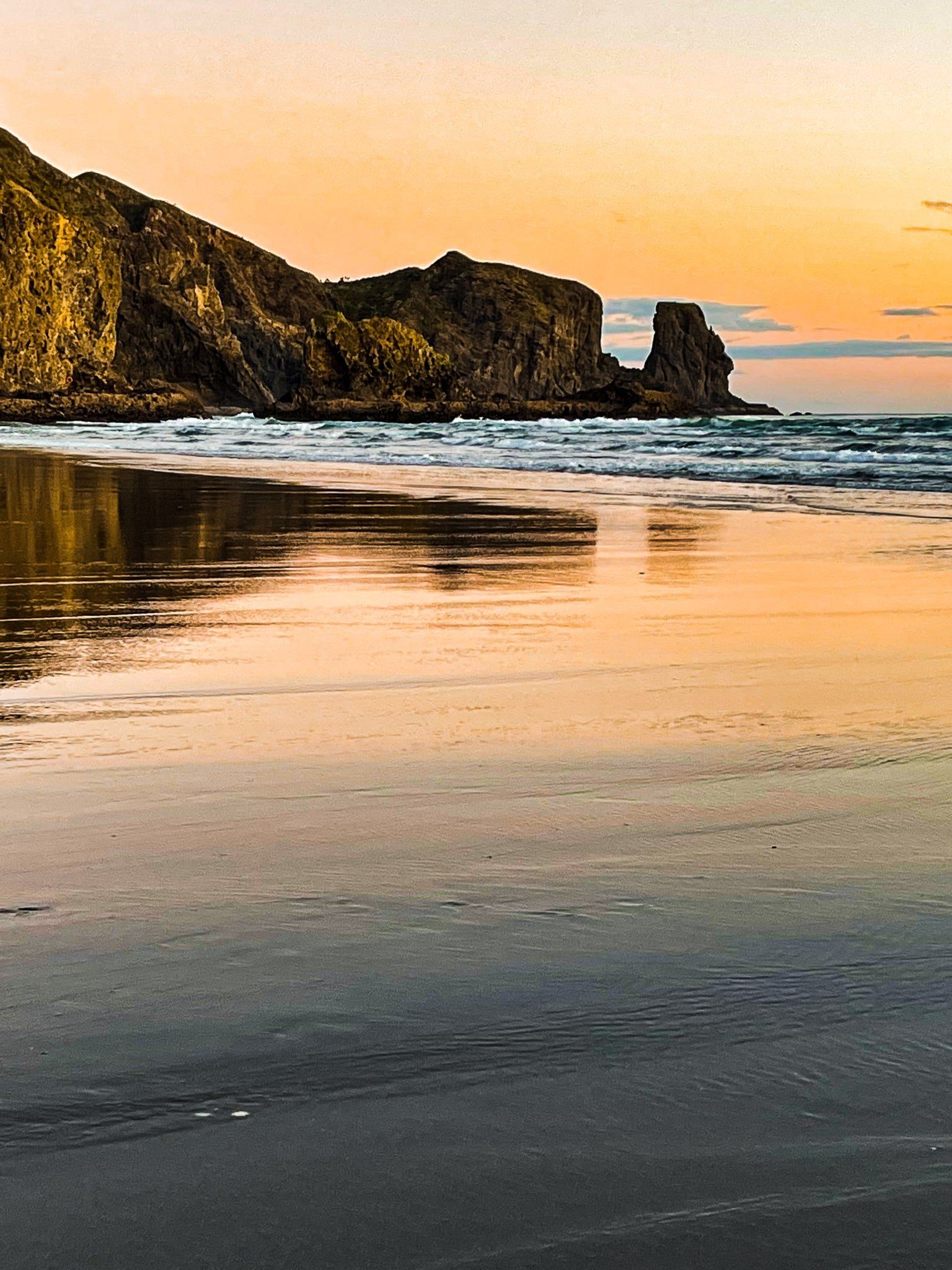
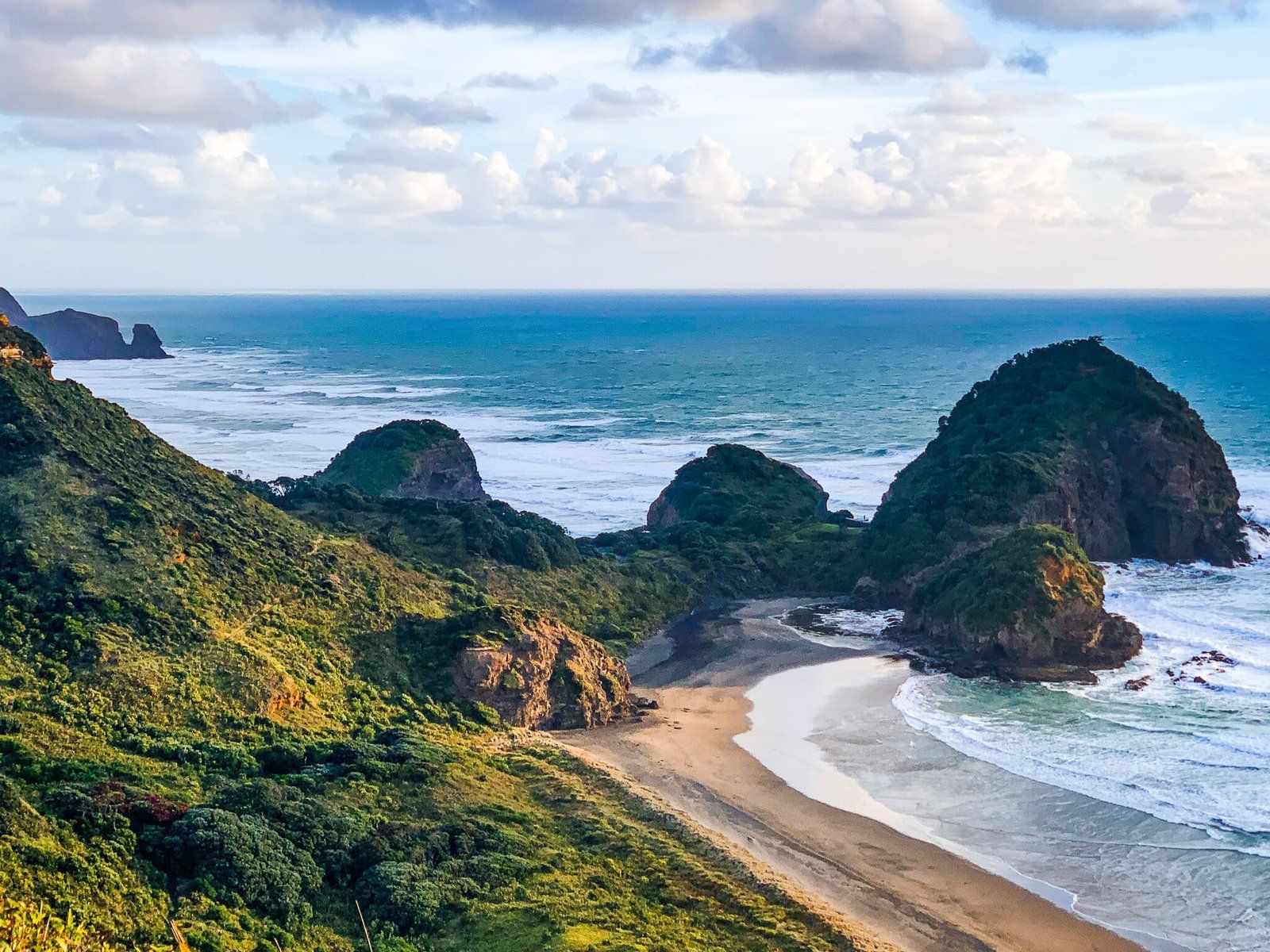
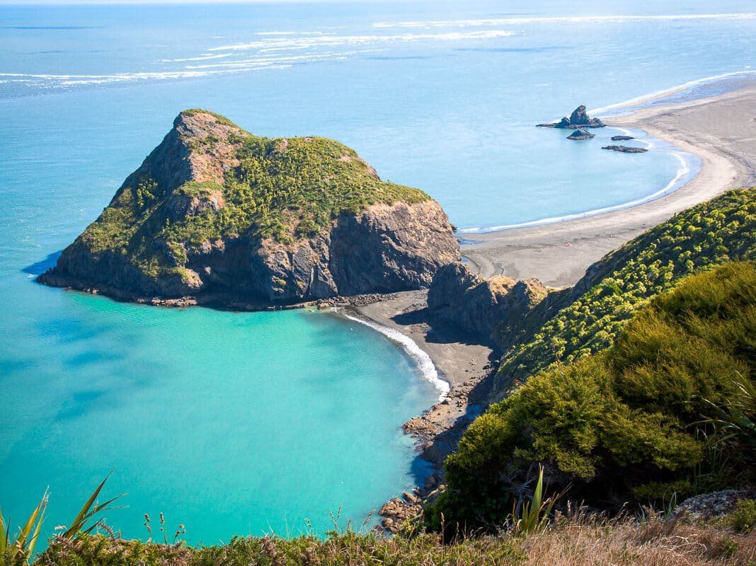
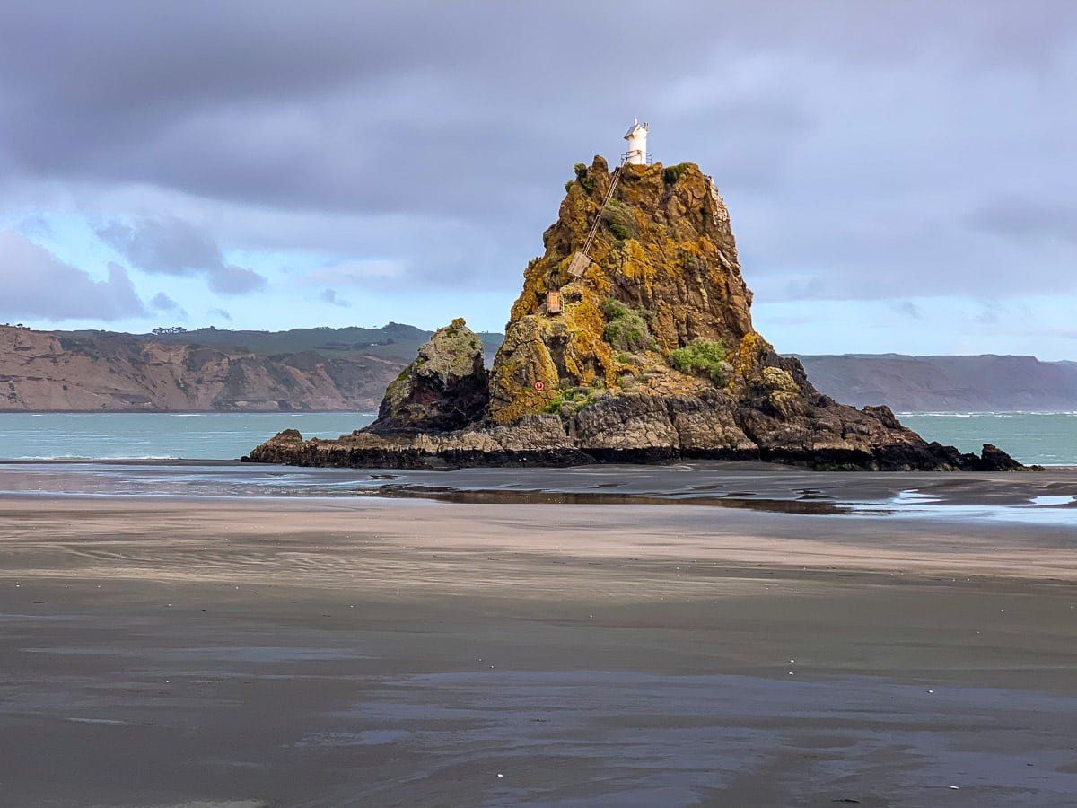
The Waitākere Ranges, located on the northwest side of Auckland City, are a striking natural feature formed from 20 million-year-old eroded supervolcanoes. This rugged landscape, once settled by Māori, is rich in history with over 50 pā sites, including the notable Lion Rock at Piha, the site of Whakaari Pā. Today, the Ranges are a haven for nature lovers, offering a unique blend of black sand west coast surf beaches, green rainforests, and scenic walking trails.
Historical Significance and Conservation
In the mid-19th century, European settlers began harvesting the ancient kauri forests to supply timber for Auckland's development. However, the challenging terrain limited agricultural and construction activities, leading to the preservation of much of the area. By the early 1900s, conservation efforts intensified, resulting in the establishment of parklands that eventually formed the Waitākere Ranges Regional Park. This park is now a highlight among Auckland's 28 regional parks, showcasing a recovering forest ecosystem.
Geography and Features
Spanning approximately 35 km from Manukau Heads to Muriwai on the west coast, the Waitākere Ranges cover over 30,000 hectares. The highest point is Te Toiokawharu at 474 metres in the south, while the northern end is about 200 metres high. The area includes the Waitākere Ranges Heritage Area, a 27,720-hectare zone that encompasses much of the park, along with small coastal communities and farms.
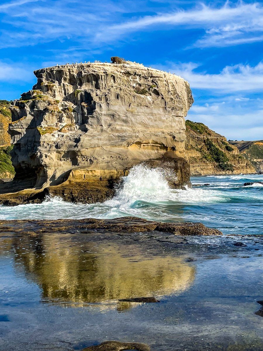
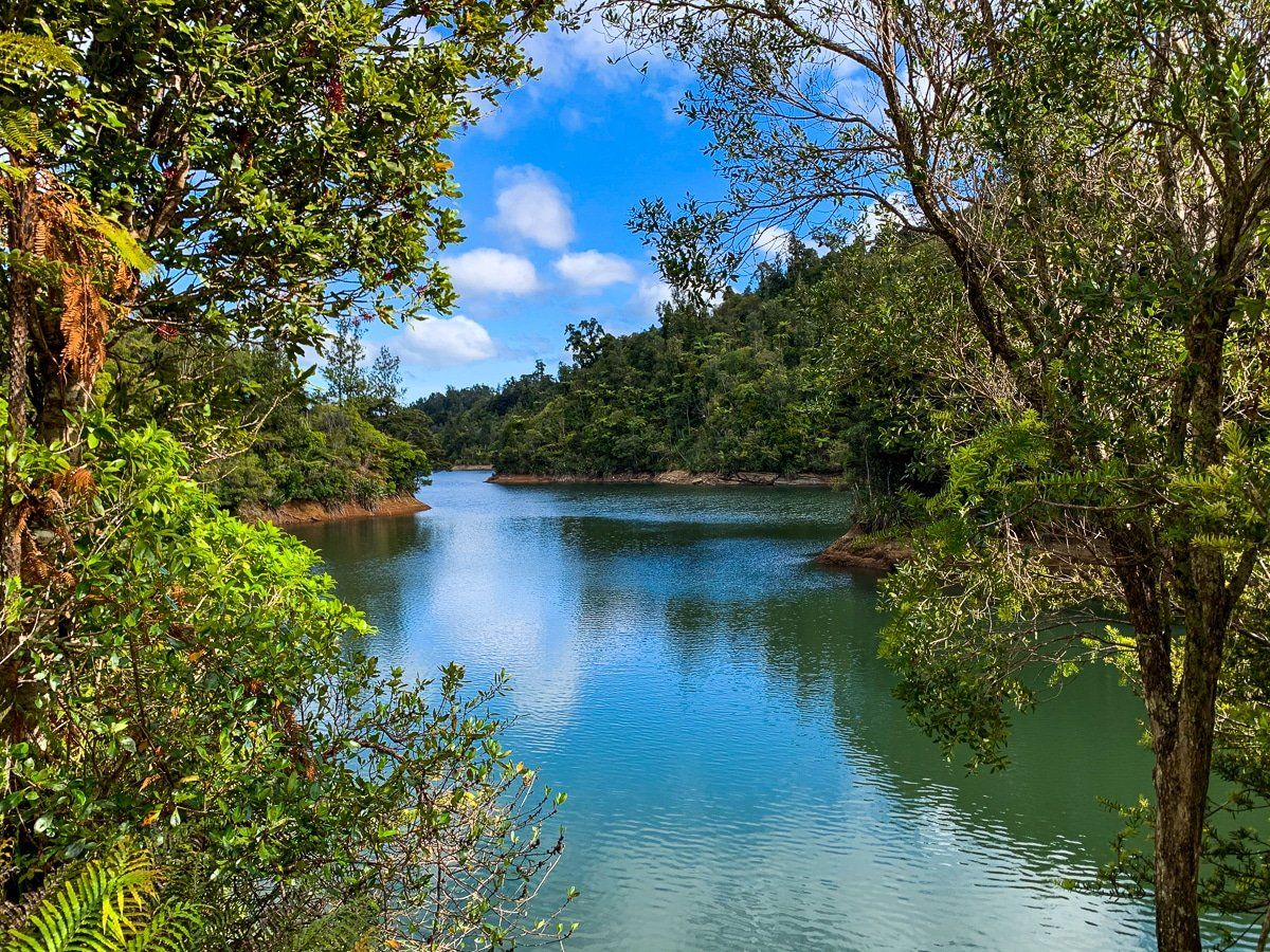
The Ranges are renowned for their black sand surf beaches, abundant streams and waterfalls, and extensive walking trails. They also house several reservoirs that contribute to Auckland's water supply. The Scenic Drive, the main road through the Ranges, begins in Titirangi and travels northwest to Waitākere township, offering access to various attractions along the eastern ridge of the ranges.
Beaches and Walking Trails
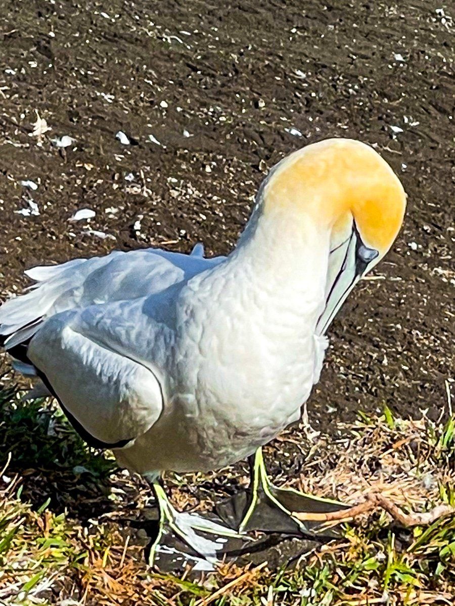
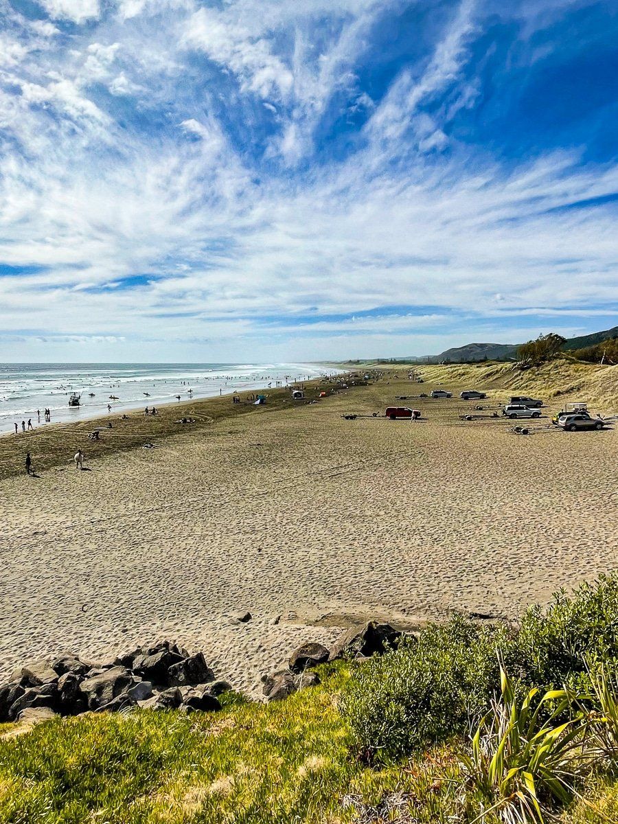
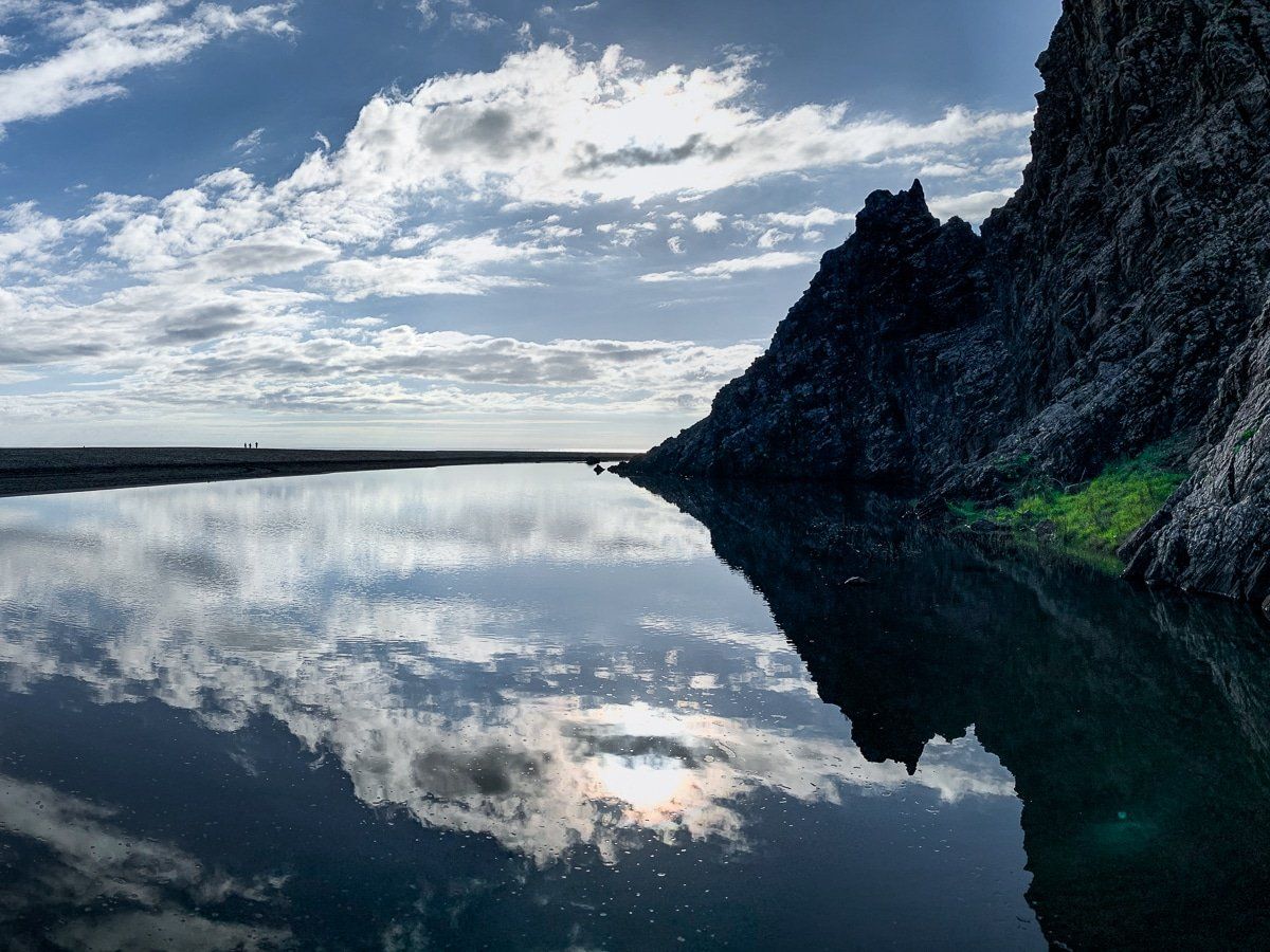
The west coast of the Ranges features four rugged surf beaches accessible by road: Whatipū, Karekare, Piha, and Te Henga (Bethells Beach). Muriwai, located at the northern end, is famous for its gannet colony and can be reached via Kumeu. Additional beaches, including Anawhata, Whites Beach and O'Neill Bay, are accessible on foot from these main locations or via walking tracks. More tranquil Manukau Harbour beaches are found off Huia Road.
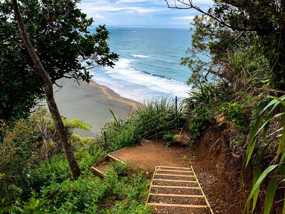
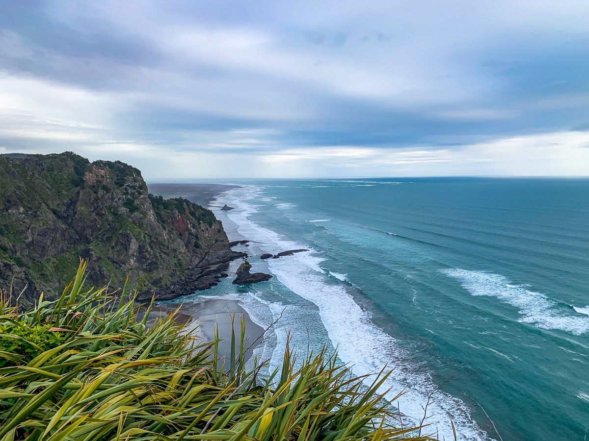
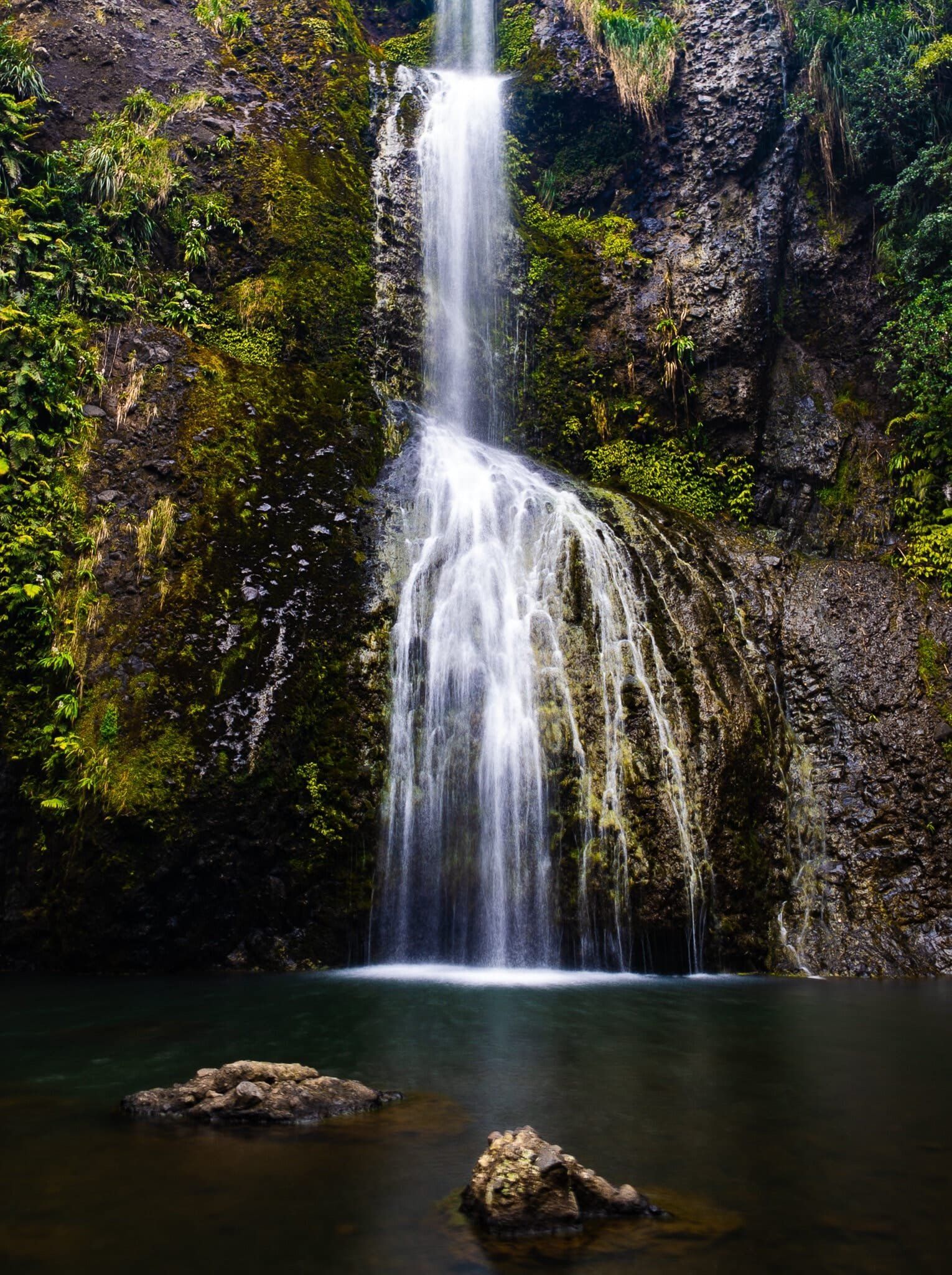
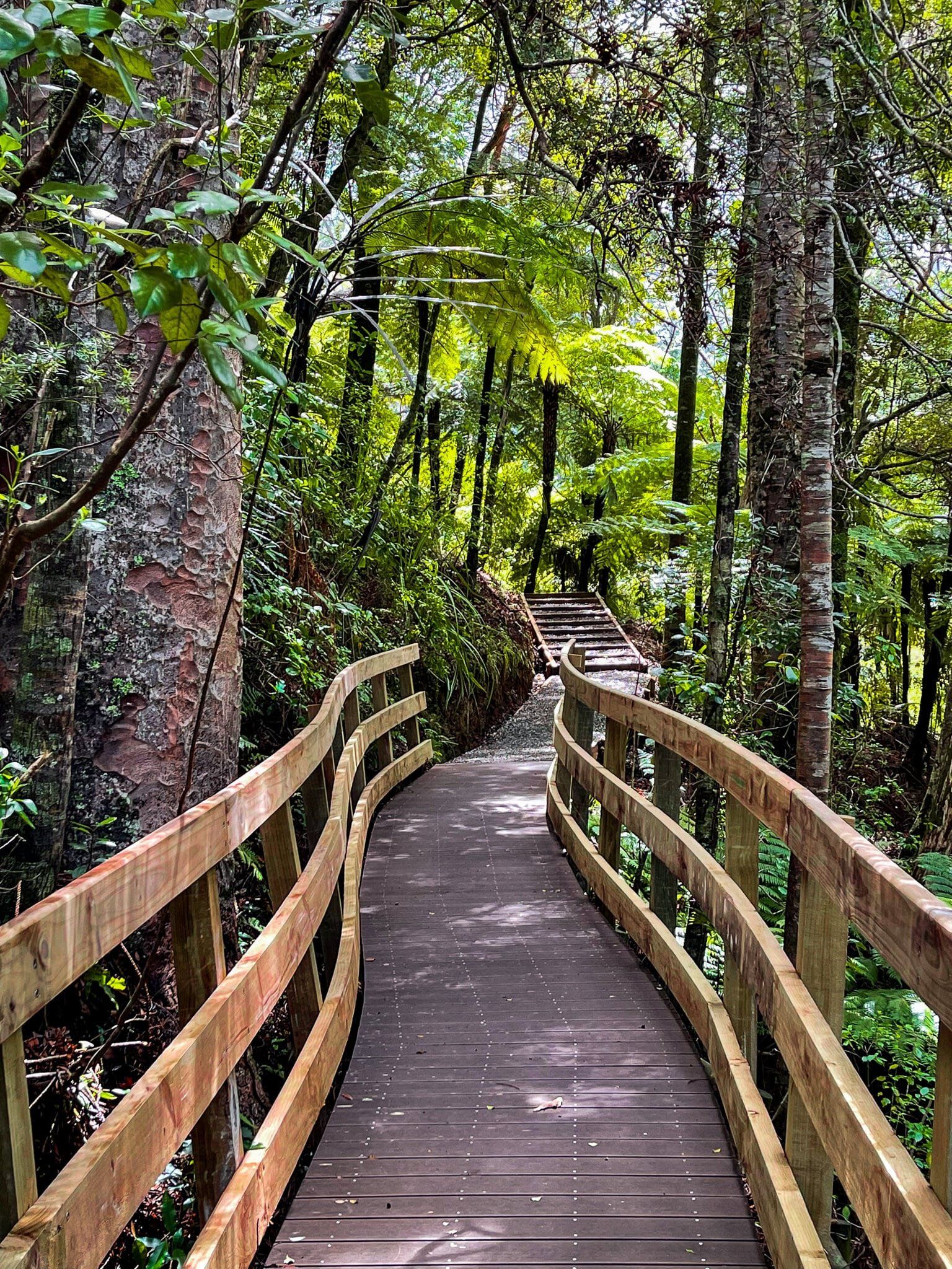
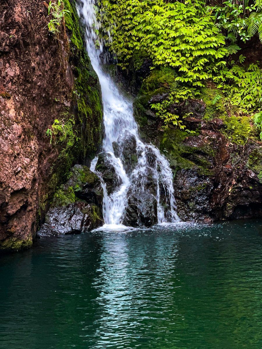
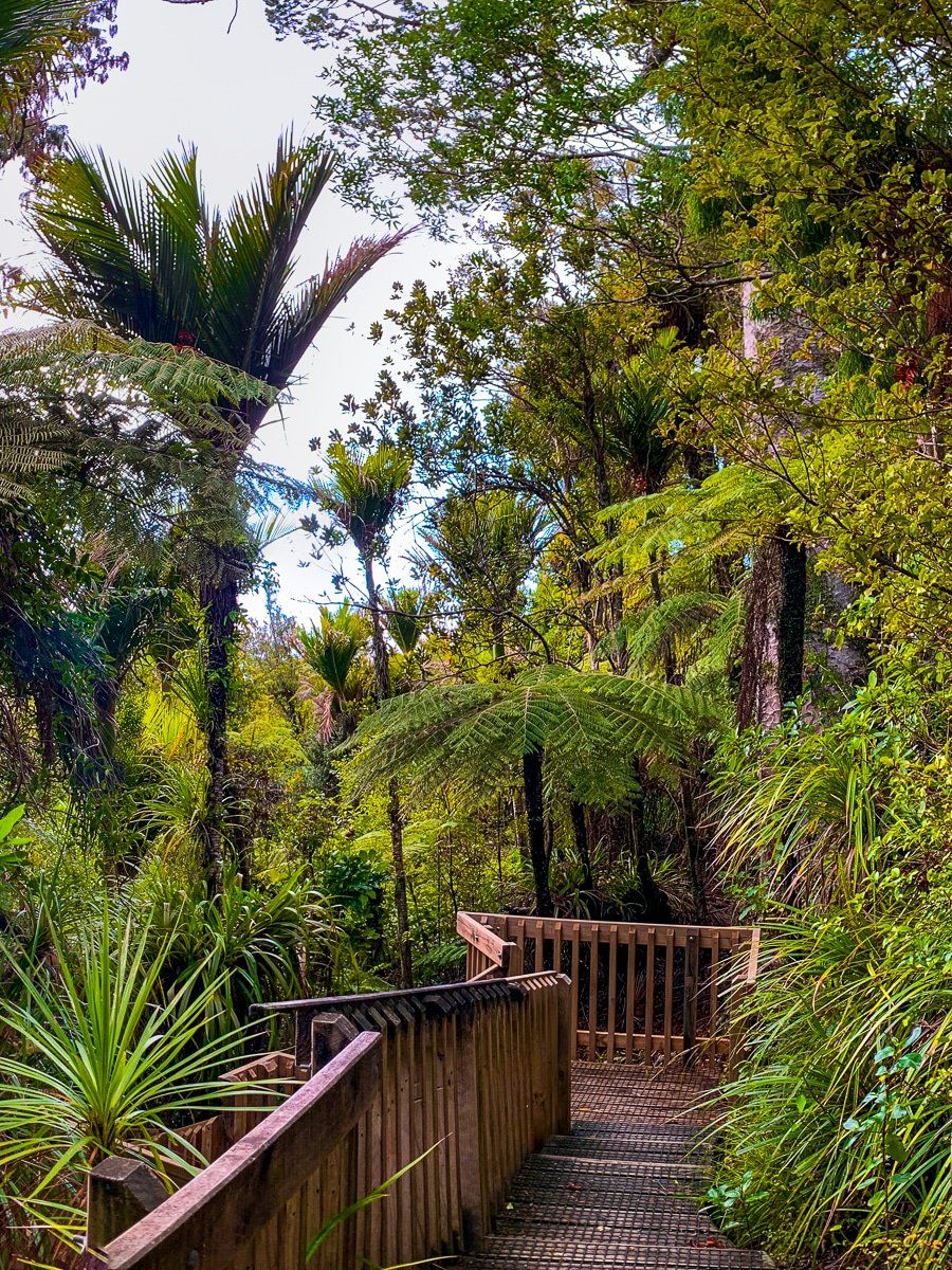
The Ranges boast a comprehensive network of walking tracks, many of which have been upgraded and reopened after closures due to kauri dieback. Recommended coastal trails include Omanawanui, Mercer Bay Loop, and Comans Track. For those interested in waterfalls, Fairy Falls, Karamatura, and Kitekite Falls are must-visits.
Reservoir and Kauri Walks
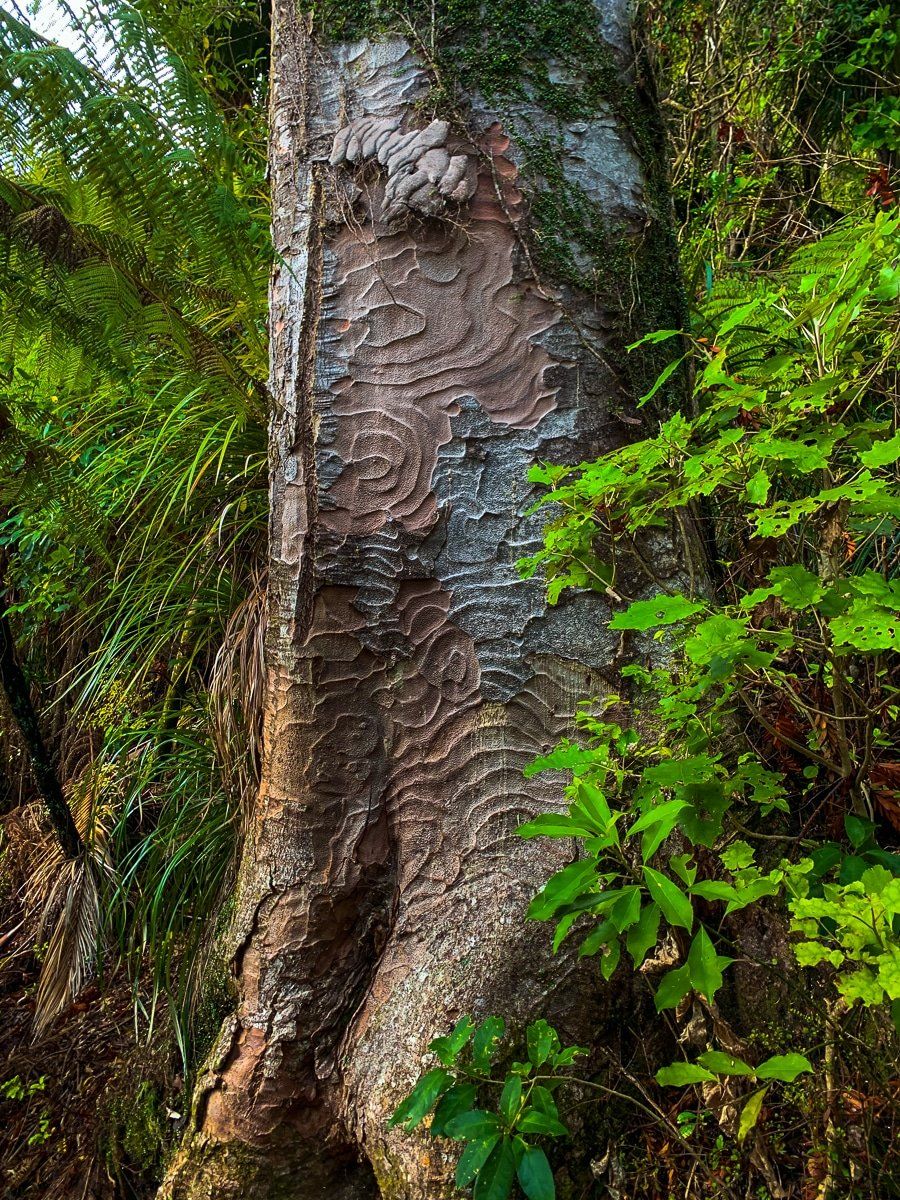
For reservoir walks, the Waitākere Reservoir at the north end of Scenic Drive and Upper Nihotupu from Piha Road are popular choices. The Nature Trails from Arataki Visitor Centre on Scenic Drive offer an easy walk to see mature kauri trees. To experience ancient kauri, the Cascade Kauri walks near Waitākere Golf Club on the park's northeast side are ideal. This is the best grove of big tees in the Auckland region.
How to Get There
To reach the Waitākere Ranges, start from Auckland City and head towards Titirangi, where the Scenic Drive begins. This road will guide you through the Ranges to Waitākere township. For beach access, Whatipū is reached via Huia Road and Whatipū Road from Titirangi, while Karekare, Piha, and Te Henga are accessible from Scenic Drive. Muriwai can be accessed via Kumeu. Nearby attractions include the Arataki Visitor Centre and the Cascade Kauri walks, offering further opportunities for exploration in this stunning region.