Discover the Karamatura Track
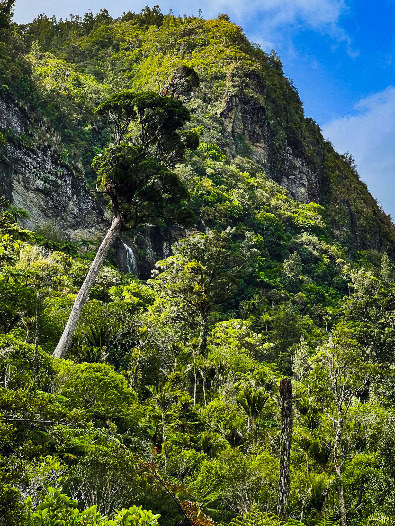
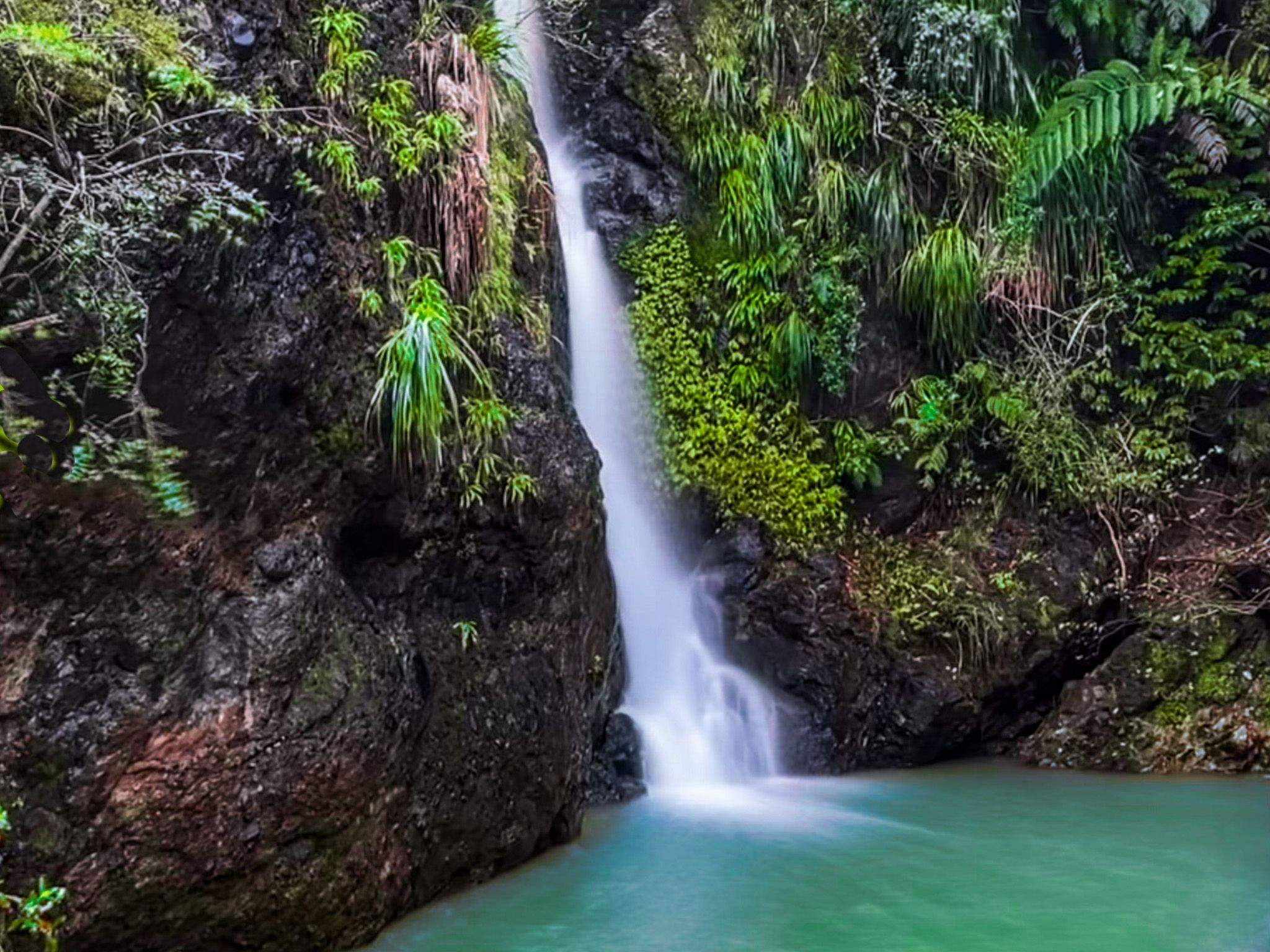
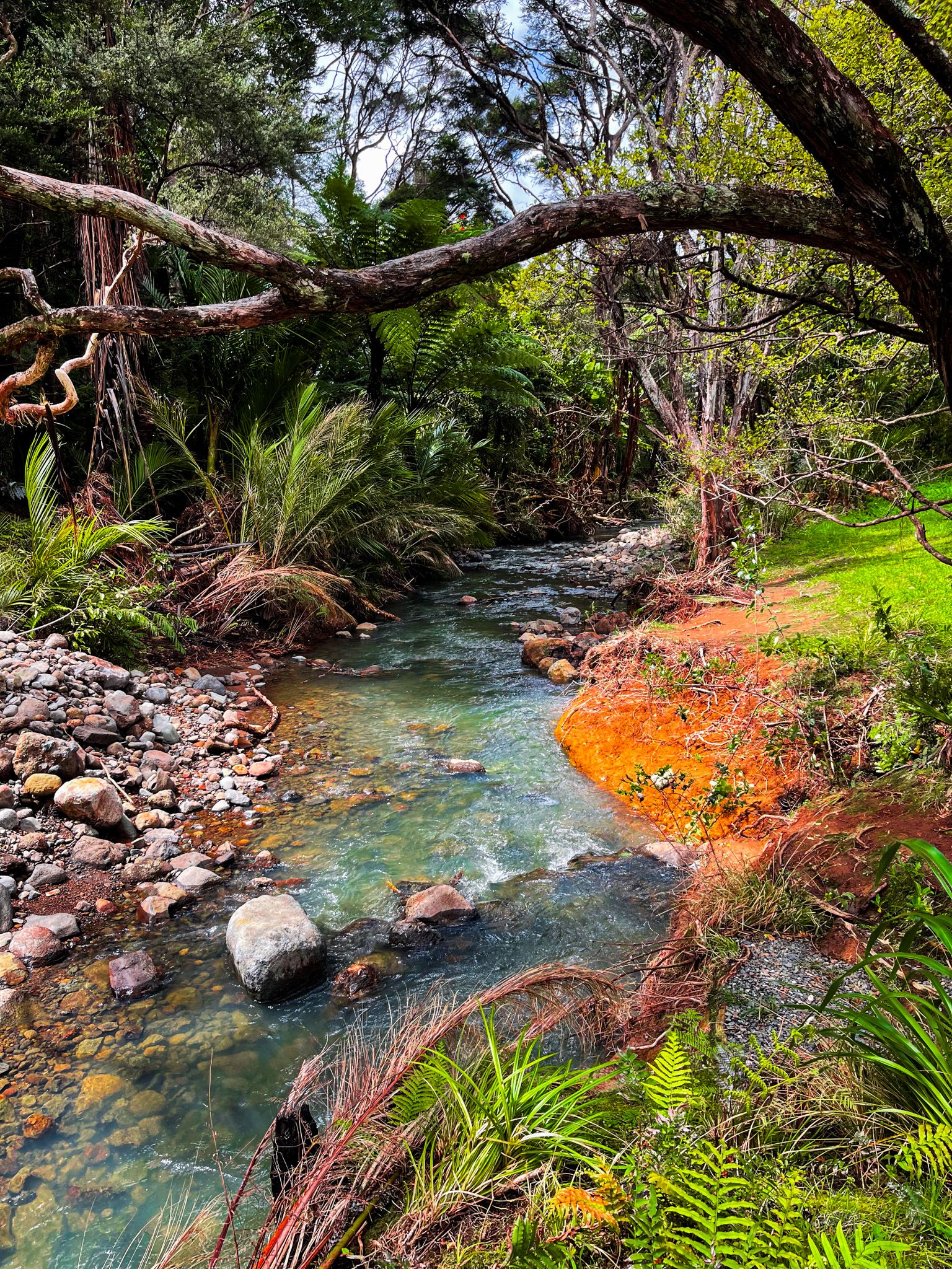
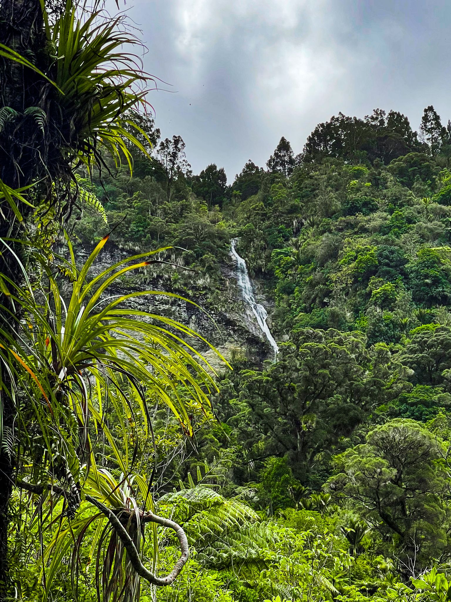
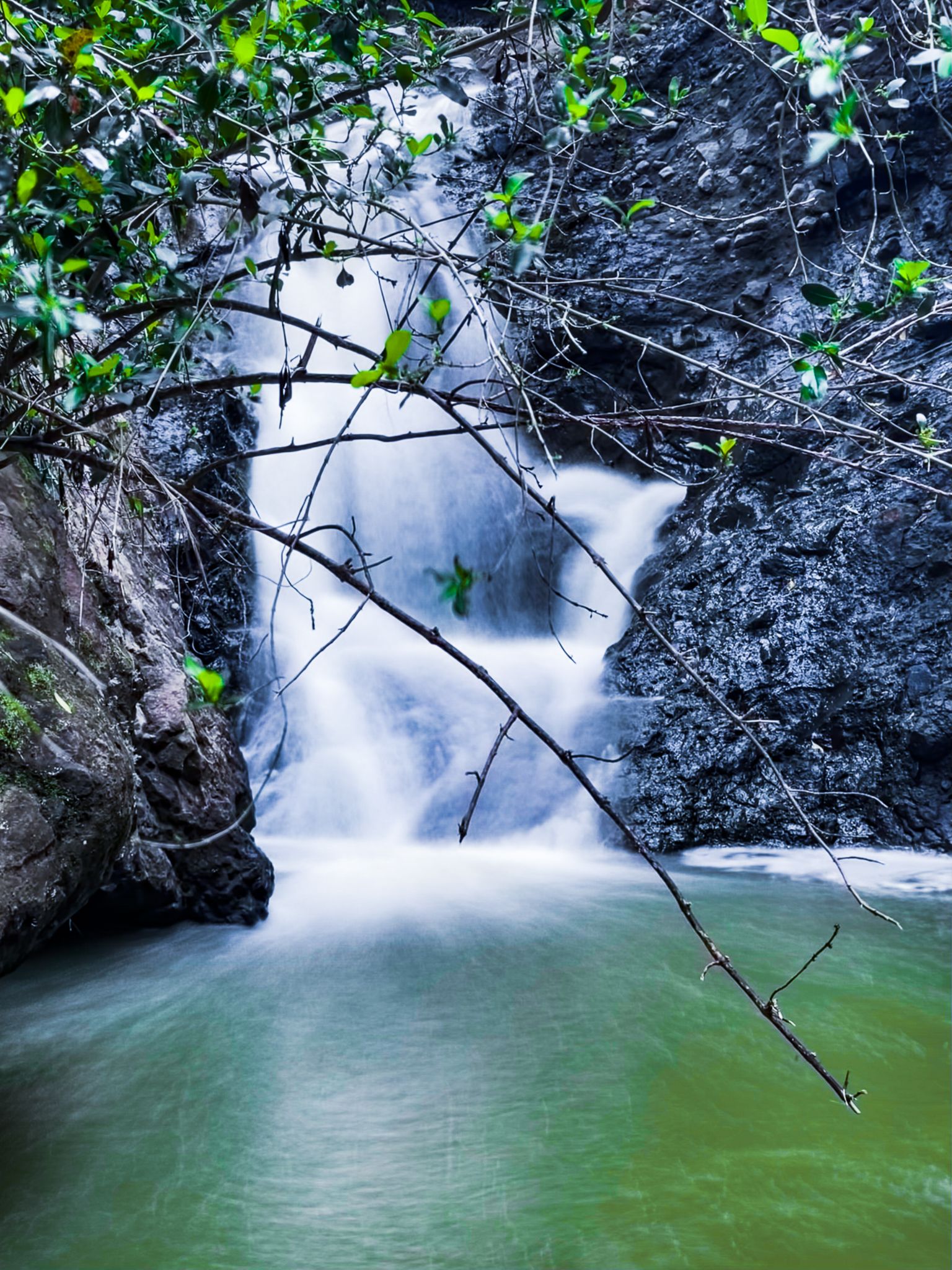
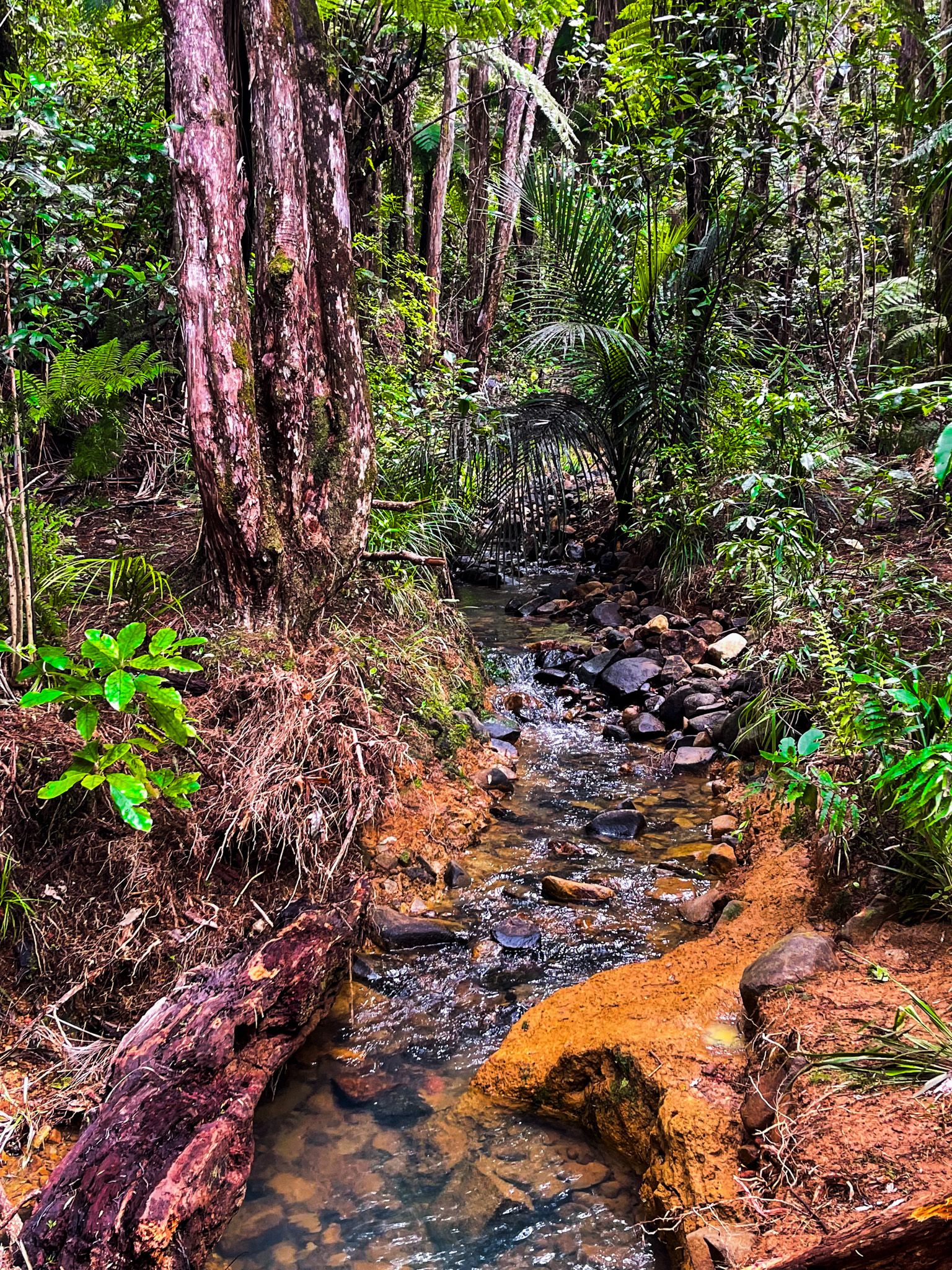
Located between Huia and Little Huia, the Karamatura Track is an ideal introduction to the diverse landscapes of the Waitākere Ranges in Auckland. It takes around 2 hours to walk to the waterfalls and back, following a loop track along the Karamatura Stream and through regrowth forest, including a grove of kauri, and ending at the waterfalls.
Camping is available just beyond the entrance and car park, across the stream, making it a convenient spot for an overnight adventure.
Exploring the Track
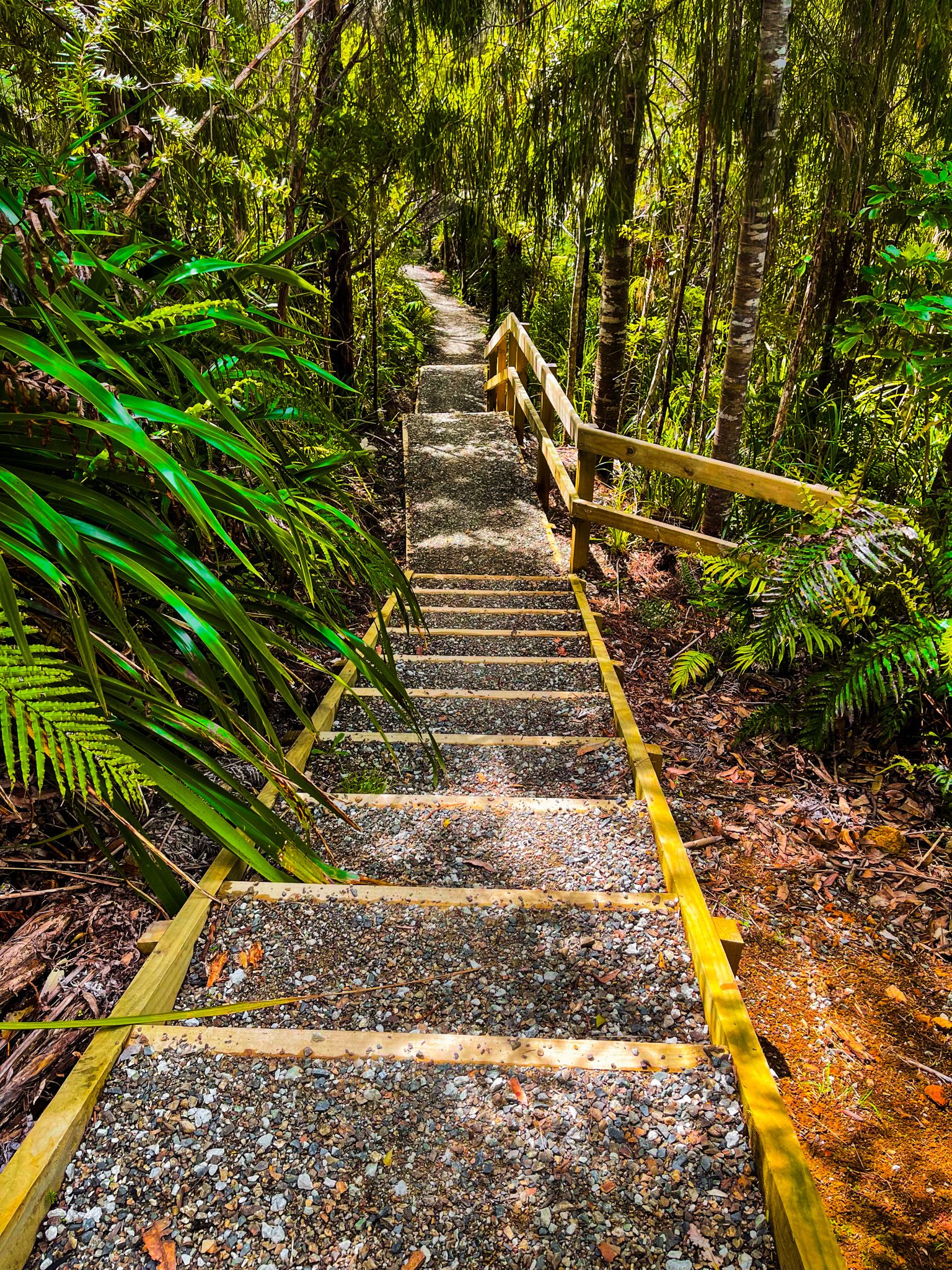
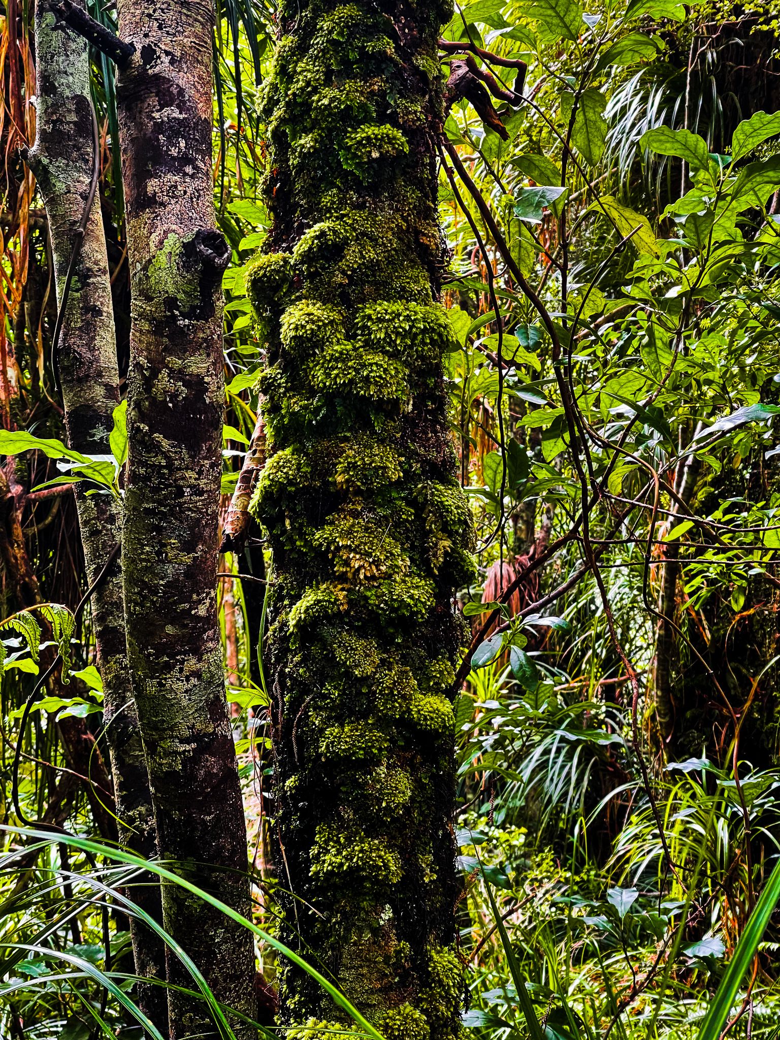
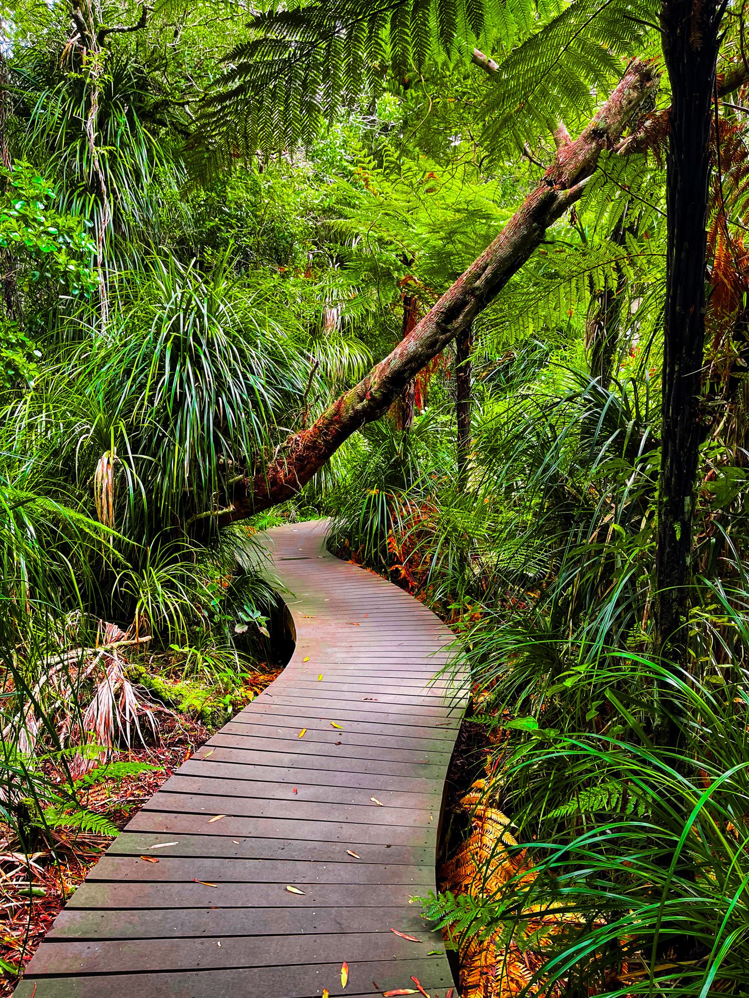
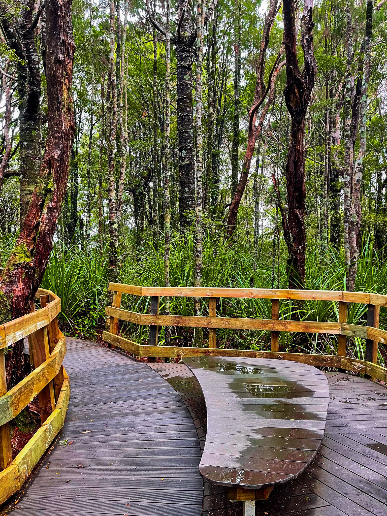
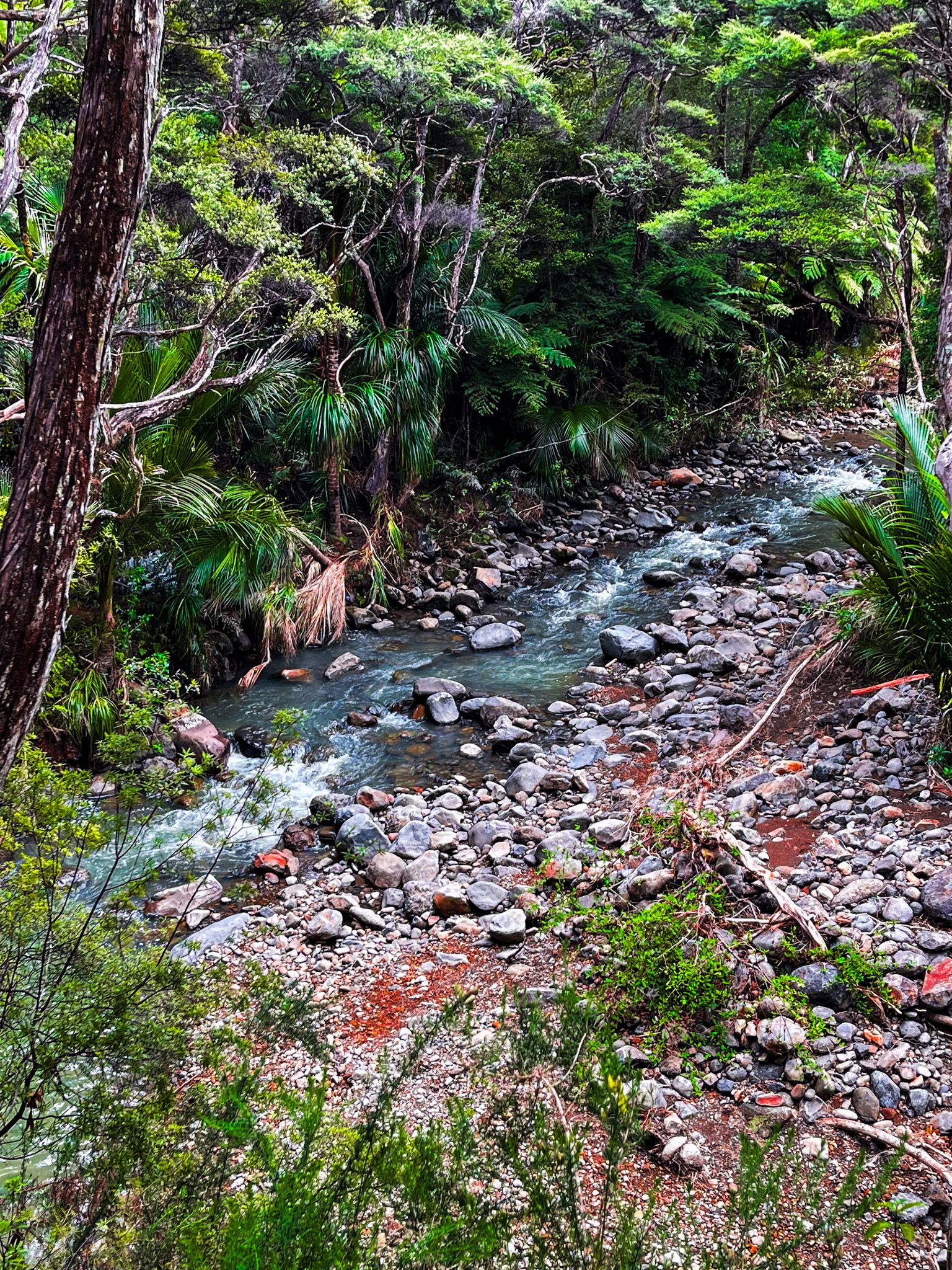
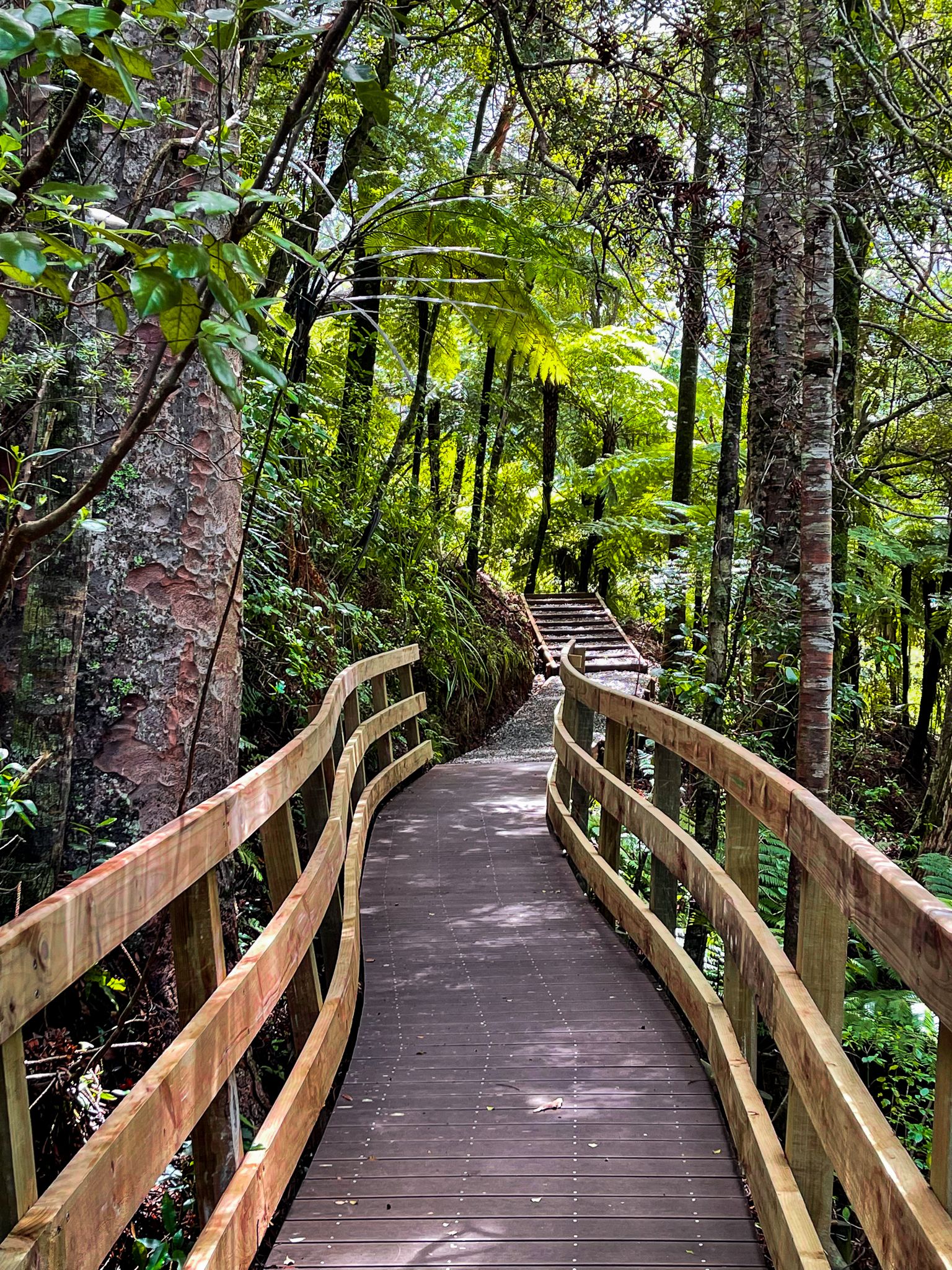
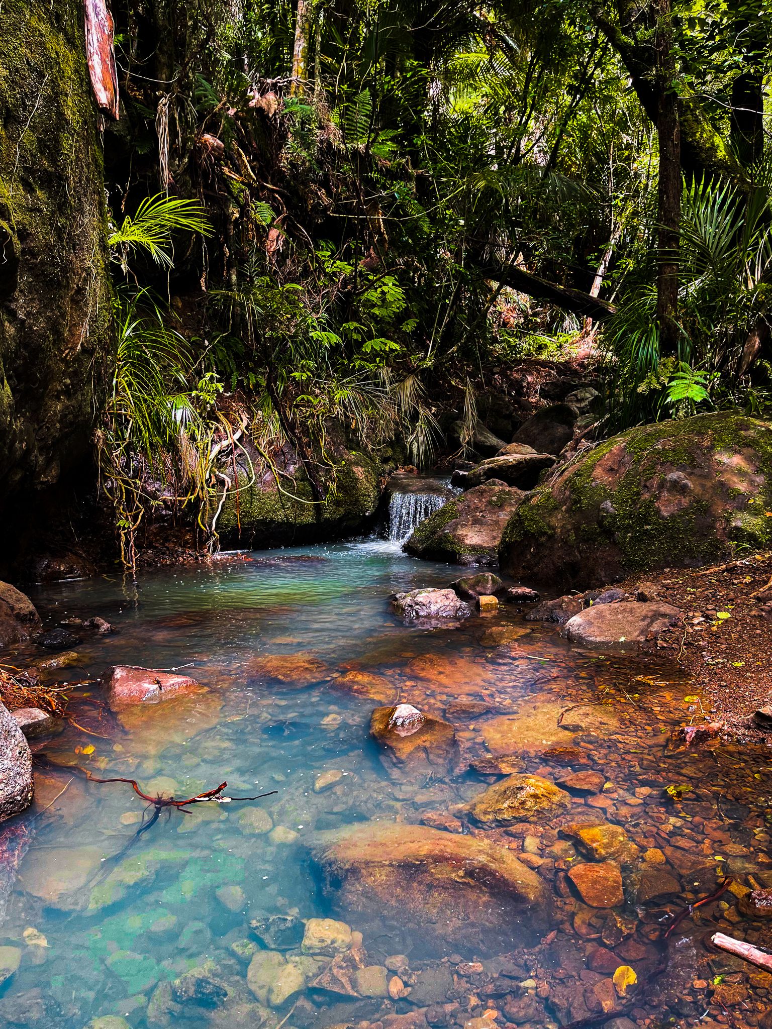
The Karamatura Track provides two paths which form a loop: one follows an old forest tramway above the Karamatura Stream, while the other takes you through a section of recovering kauri forest. They reconnect to a single track that leads to a couple of waterfalls on the stream. The tramway track is generally flat, with some drop-offs to the creek, while the other section is a mix of undulating gravel surfaces and boardwalk through the kauri grove.
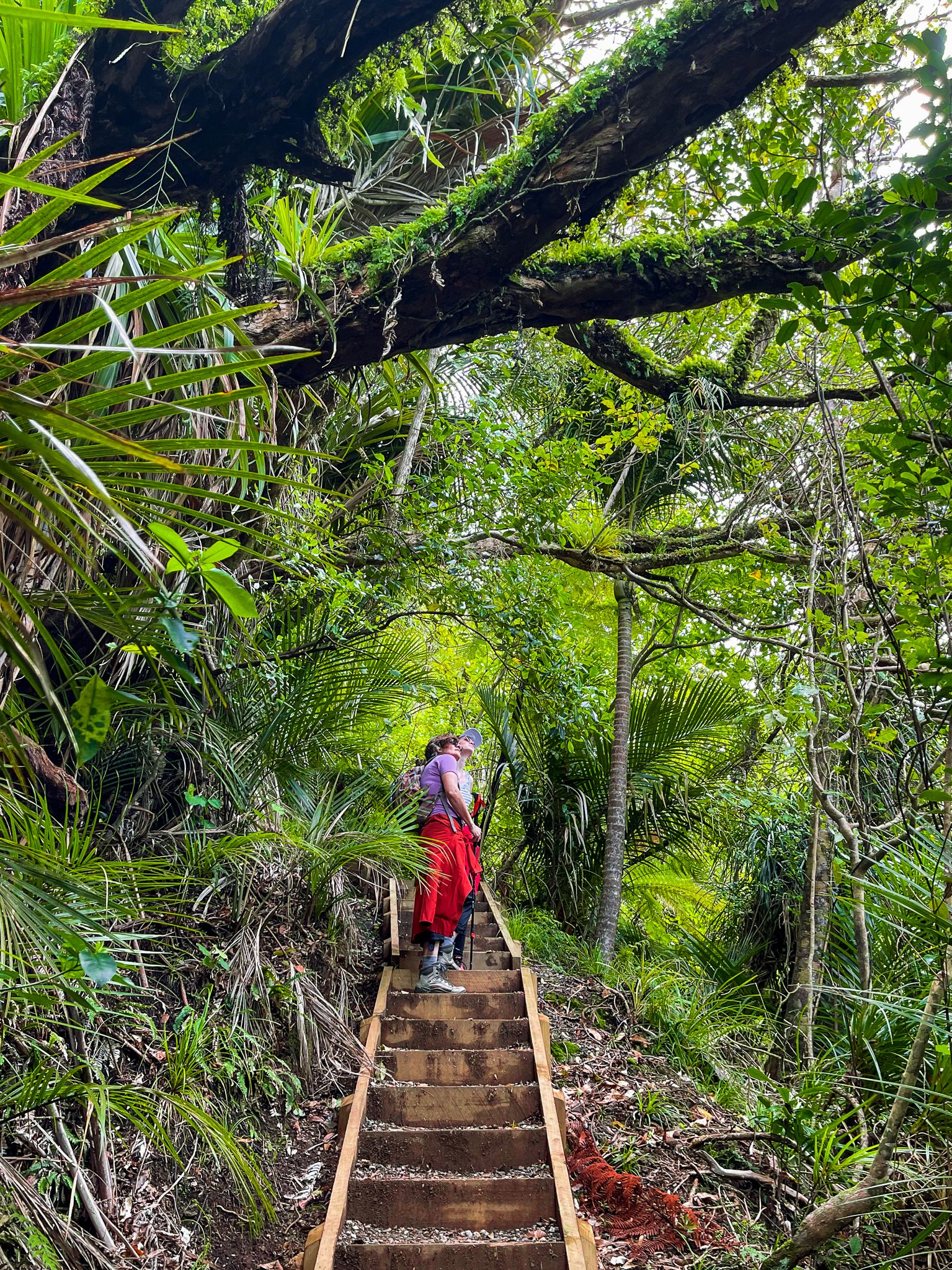
After visiting the waterfalls, you can begin a steep climb with numerous steps to Karamatura Forks and the intersection with the Mount Donald McLean Track, which leads to the Puriri Ridge Track, then the Omanawanui Track to Wahtipū. This adds 2 to 3 hours each way to the hike.
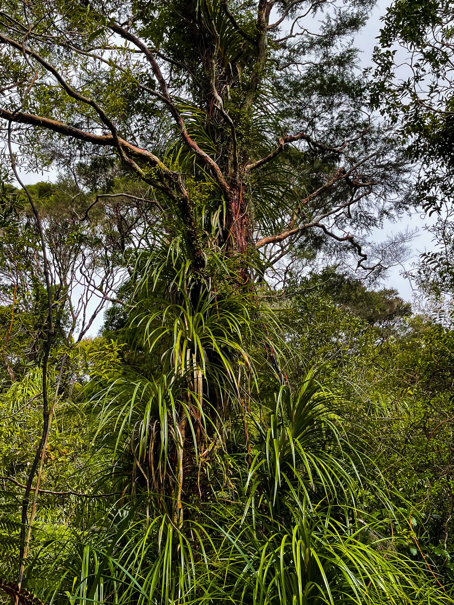
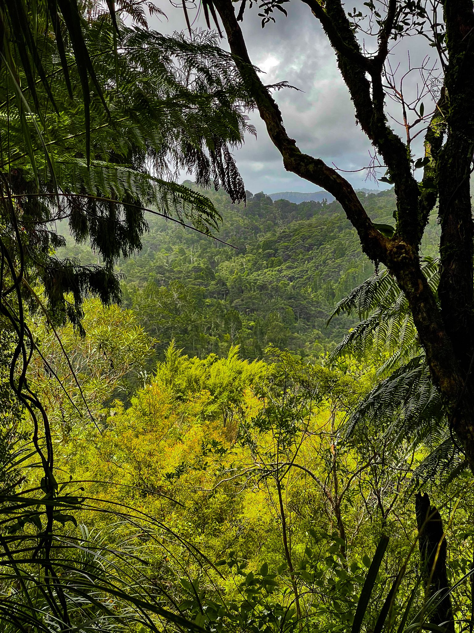
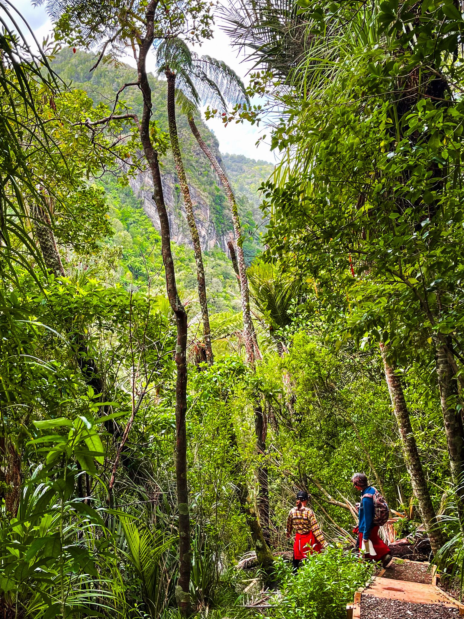
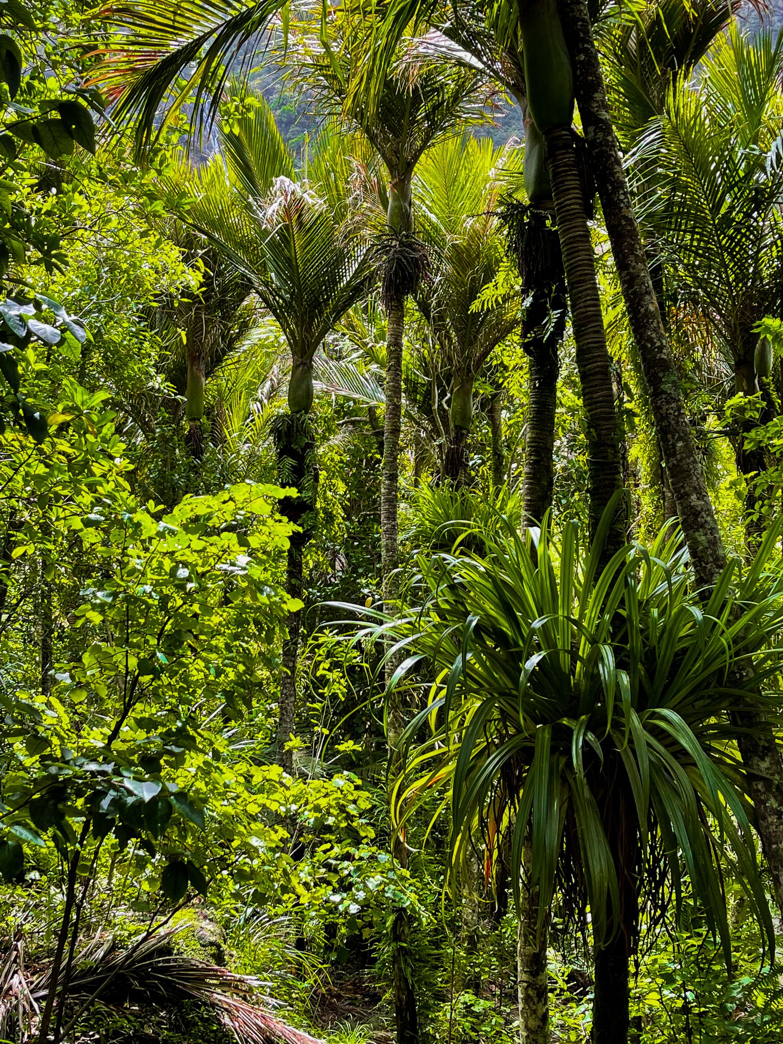
The ascent is approximately 250 metres, with the first 100 metres being particularly steep. The surrounding forest offers a stunning backdrop, rich in kiekie, creating a near-jungle experience. Near the top, the track becomes more level, featuring several boardwalks leading to the intersection with the Mount Donald McLean Track.
Continuing on the Donald McLean Track
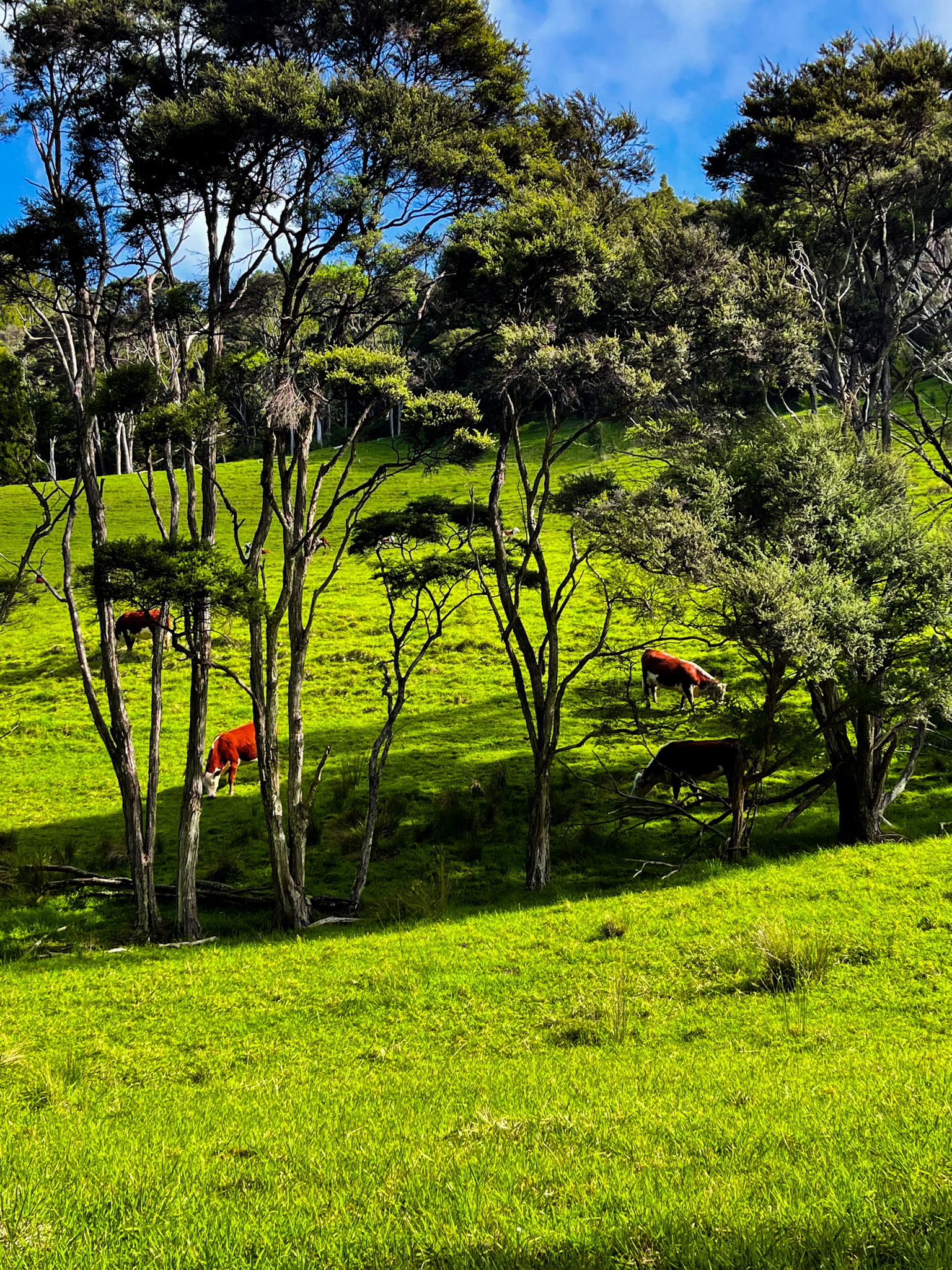
The Donald McLean Track is relatively gentle, following the ridge line to a car park just below Te Rau o te Huia Mt Donald McLean. From here, you can take a short 15-minute walk to the mountain's summit, which stands at 389 metres and provides impressive views towards Whatipu. Alternatively, you can continue on the Puriri Track to connect with the Omanawanui Track on the south side of Whatipu Road.
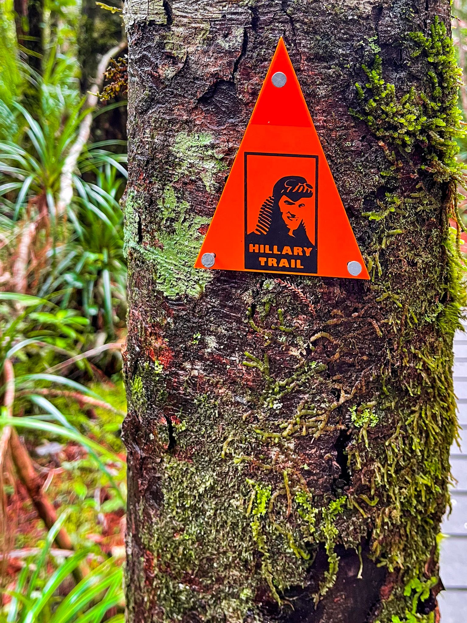
In the past, these tracks were promoted as part of the multi-day Hillary Trail Te Ara Tūhura, and you will spot the small Edmund Hillary markers on the tracks. This is no longer the case, but you can connect this group of tracks to others that take you to Karakare, Piha, and Anawhata, all with camping options to support a 2- to 3-day hike.
How to Get There
To reach the Karamatura Track from Titirangi, take Huia Road, Route 24, all the way to the start of the track. The track entrance and car park are signposted and easy to find. From Titirangi, the drive is 22 minutes and 16 km. From Downtown Auckland, it takes around 50 minutes and is 33 km.
Nearby places accessible from Huia Road include Mill Bay, Cornwallis Beach and Cornwallis Wharf, Kakamatua Track and Kaitarakihi Bay.