Discover Te Henga Bethells Beach
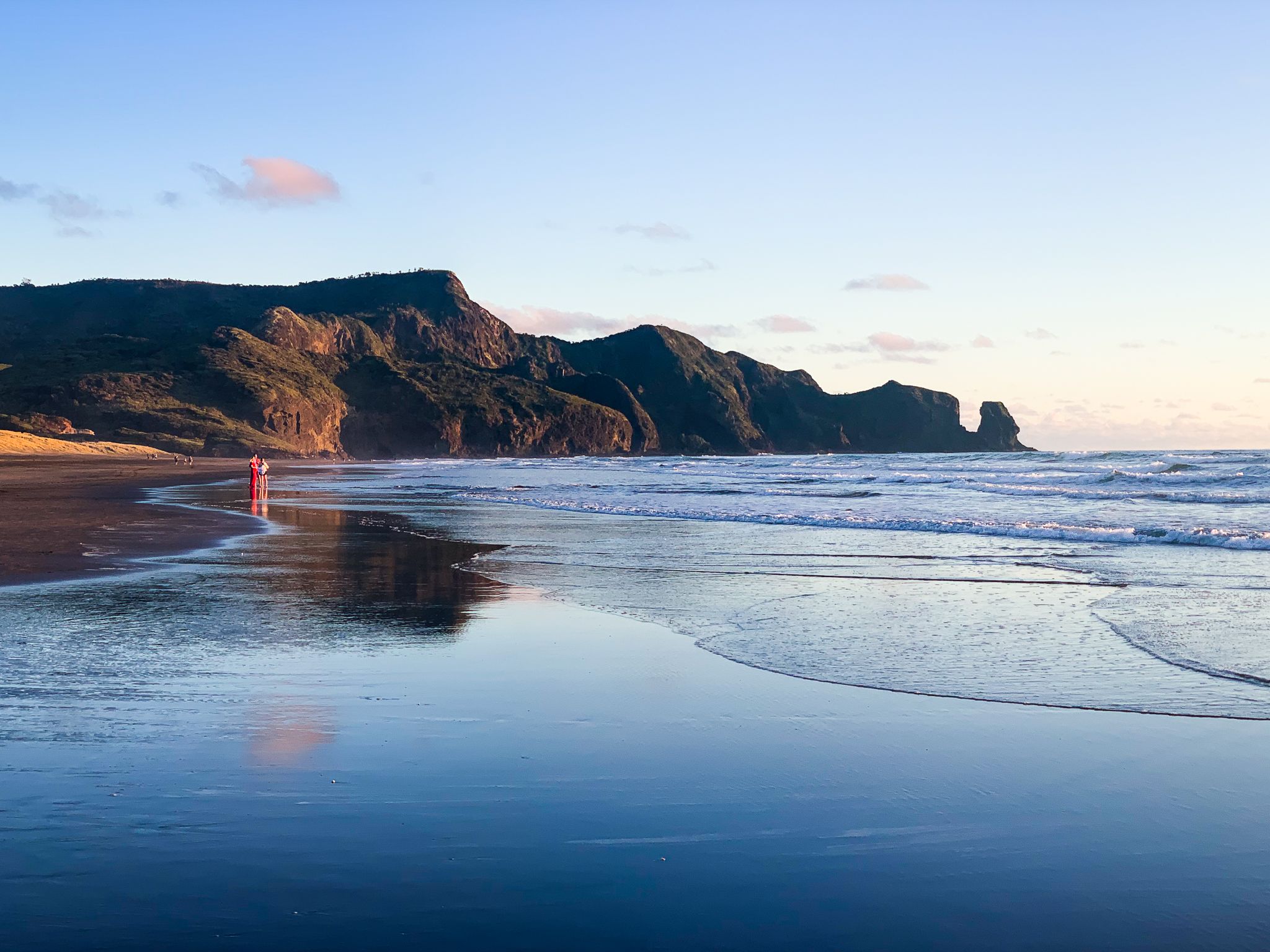
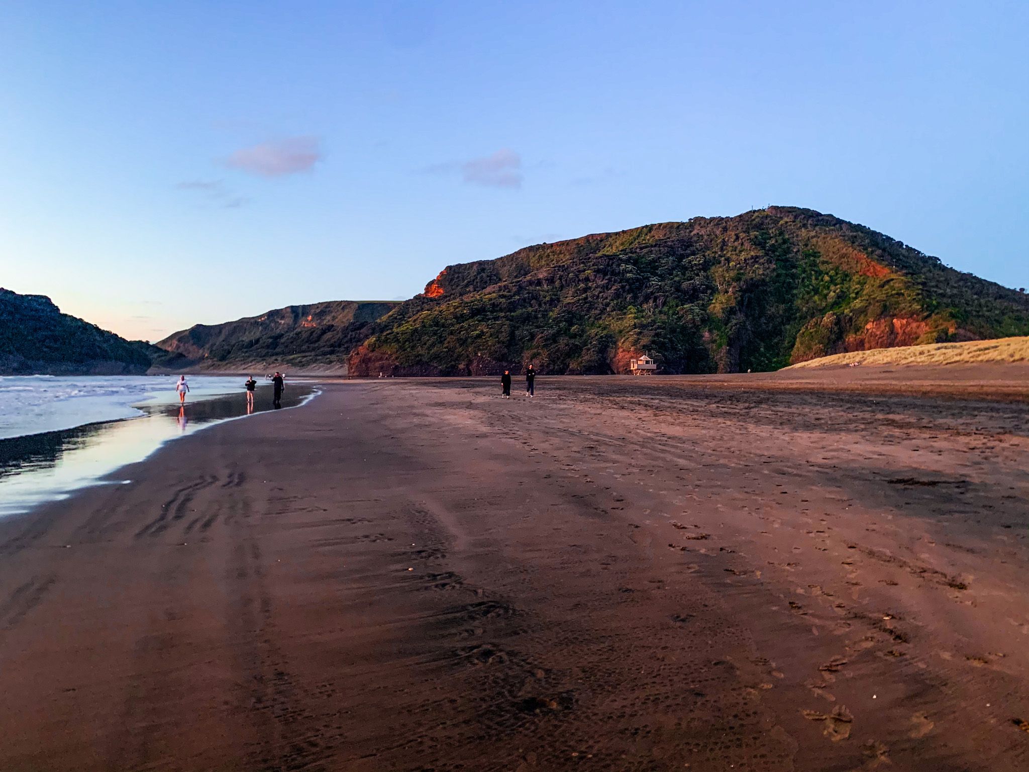
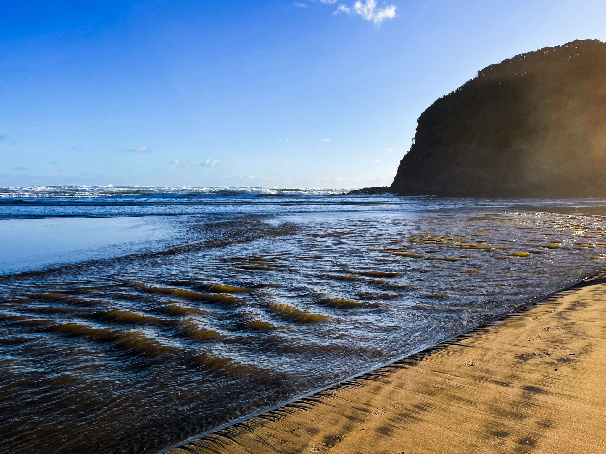
Te Henga Bethells Beach is a striking black sand surf beach located on the west coast of the Waitākere Ranges in Auckland. Known for its dramatic landscape and a less crowded atmosphere than other west coast beaches like Piha and Muriwai, it is a special coastal experience. The beach is accessible via Te Henga Road and Bethells Road from the northwest end of the Scenic Drive.
Exploring the Beach and Surroundings
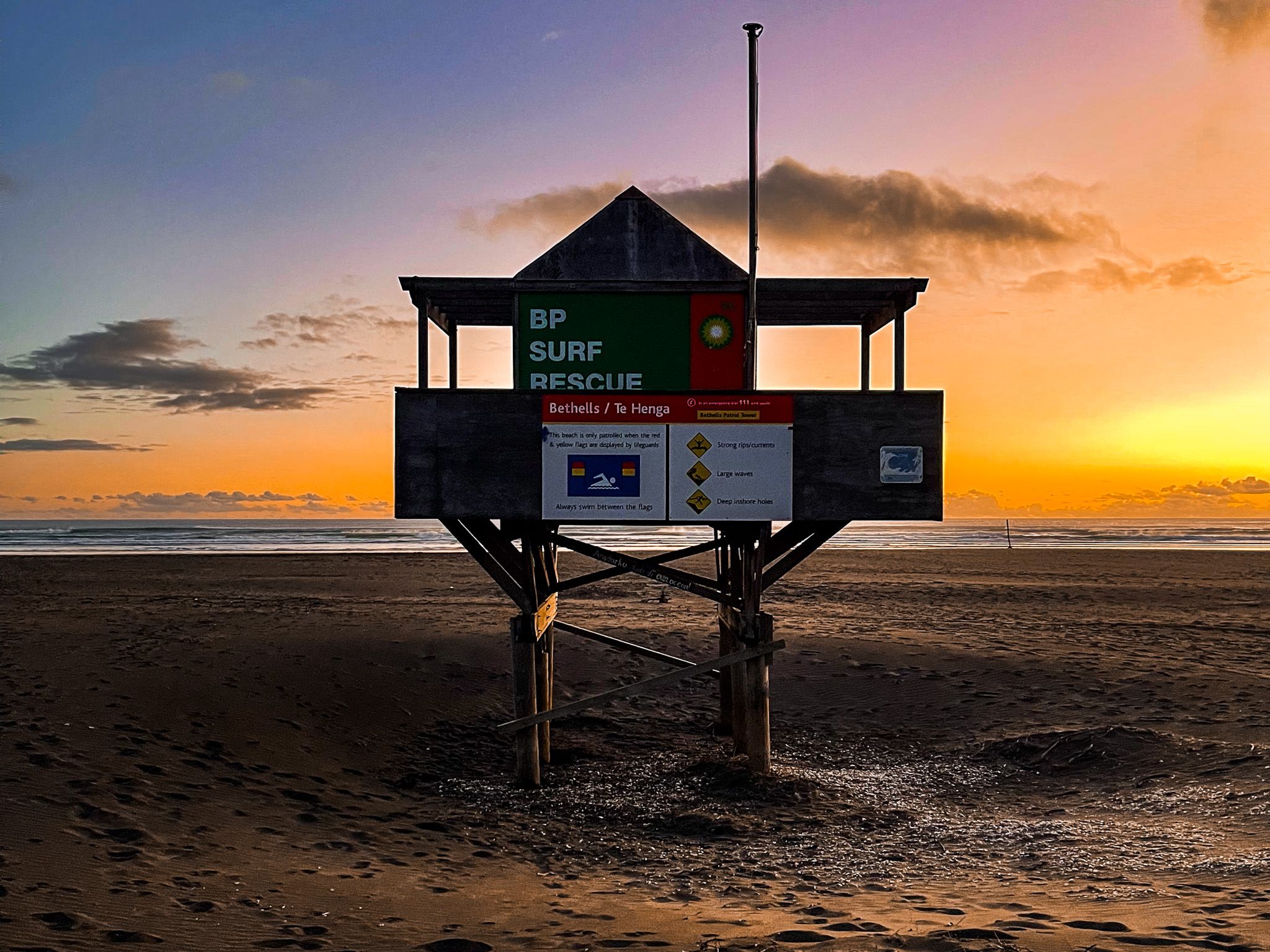
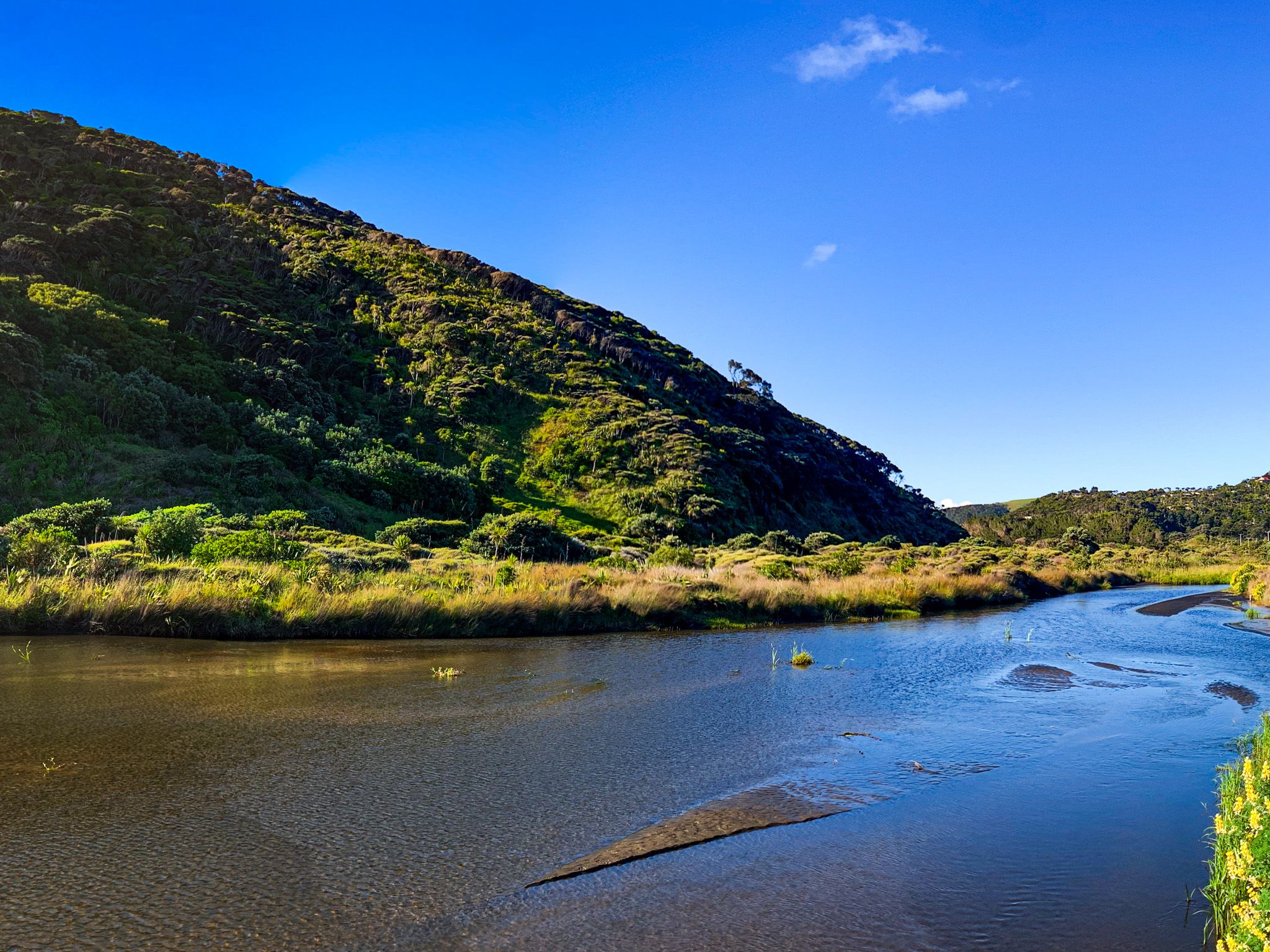
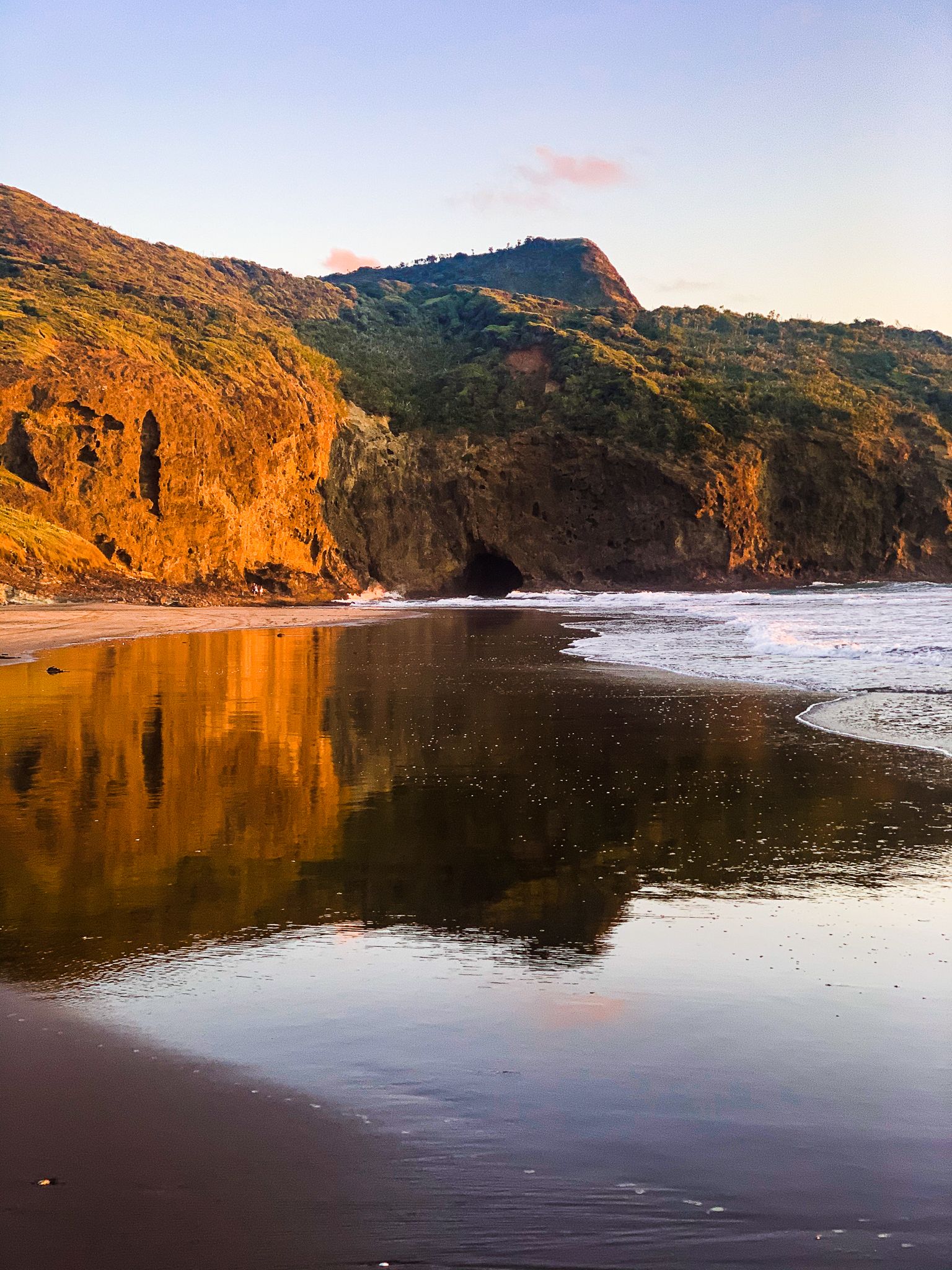
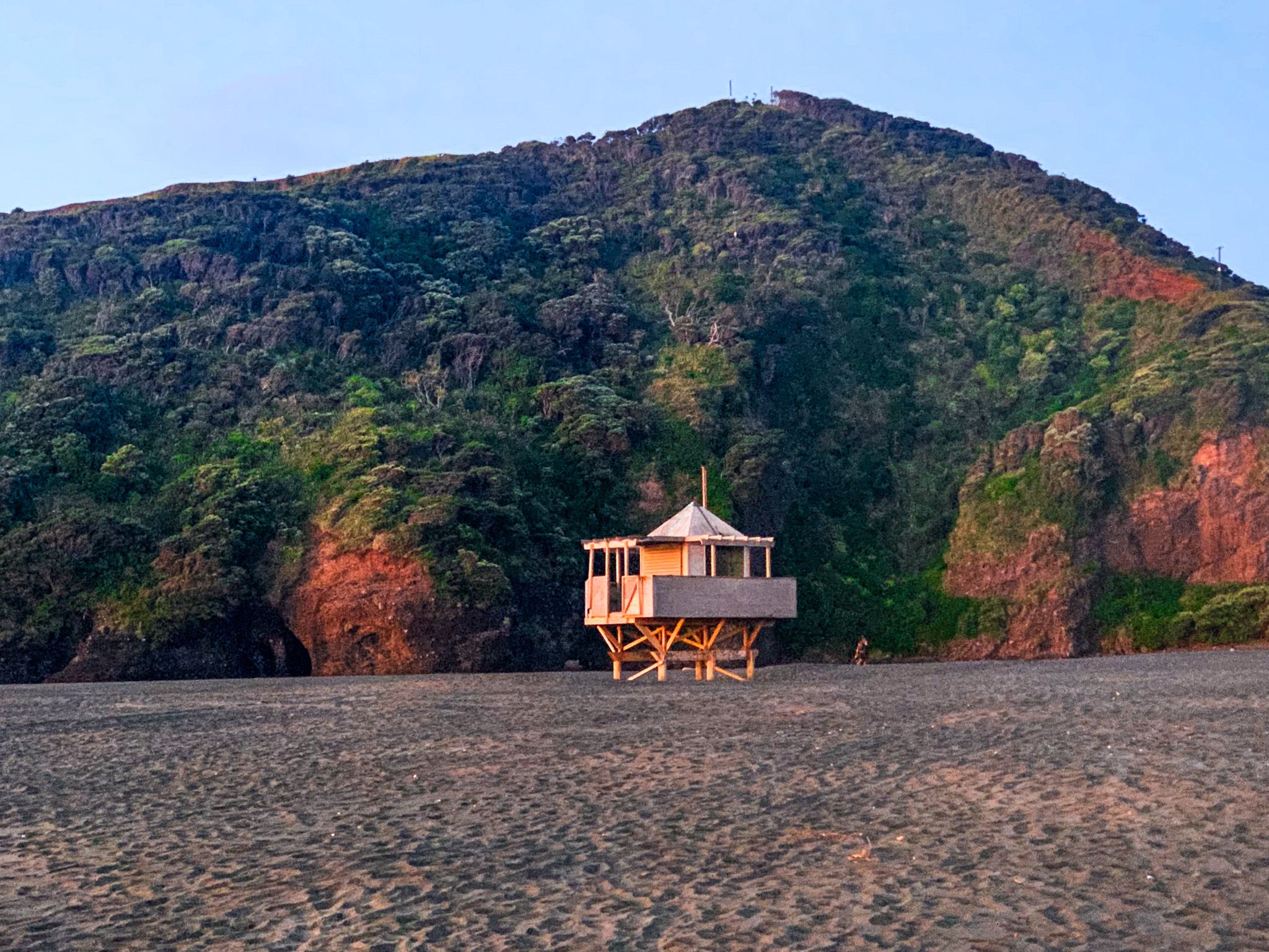
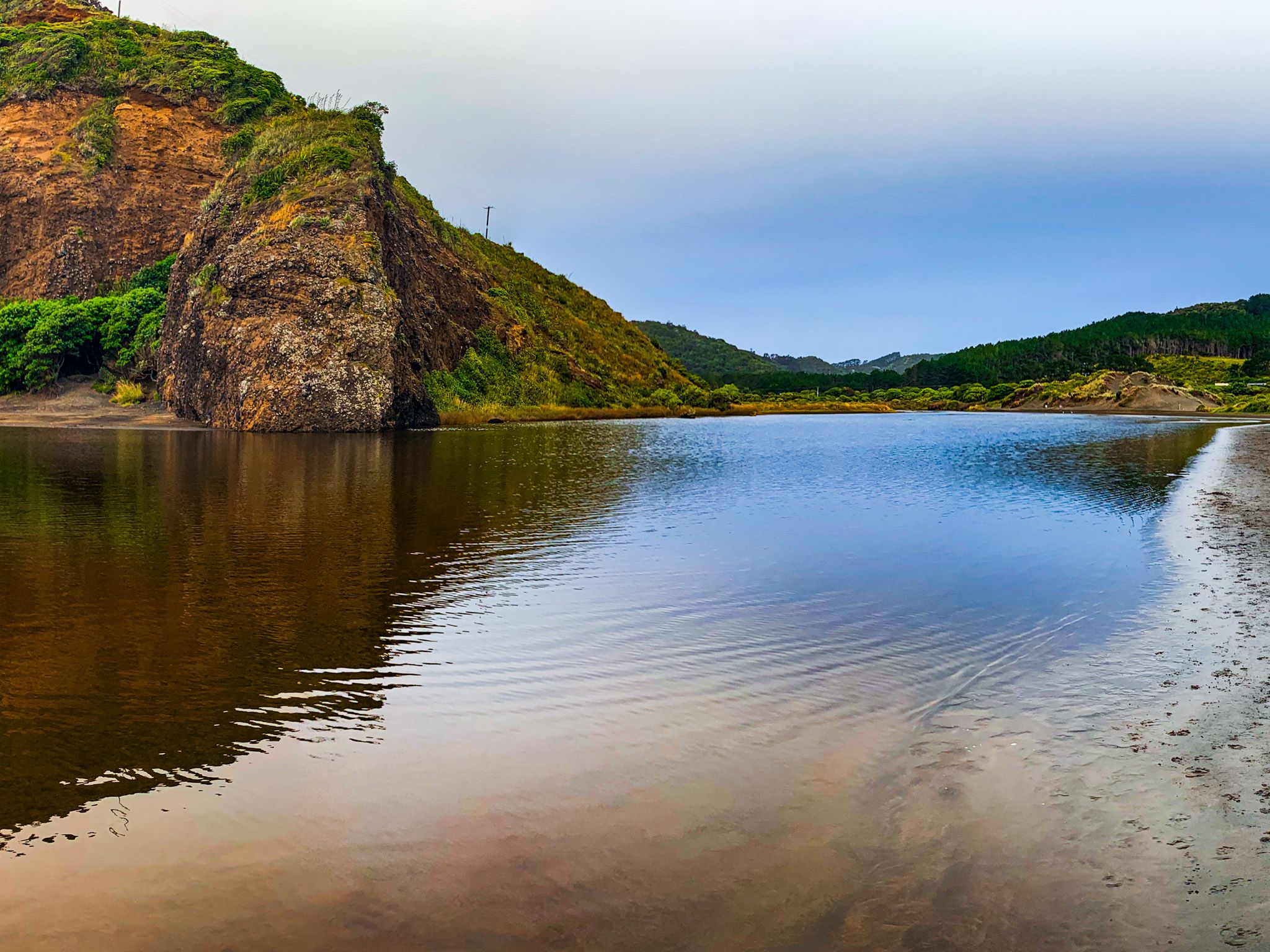
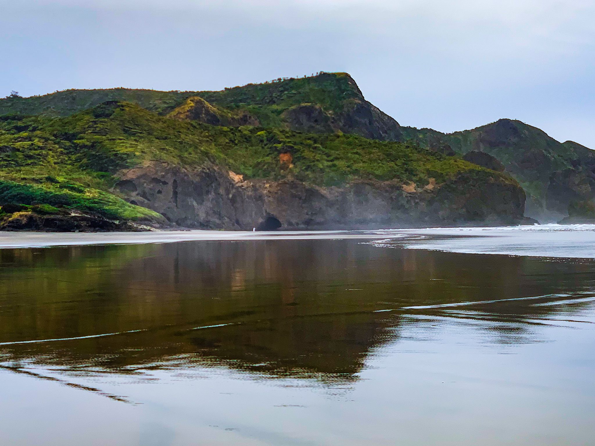
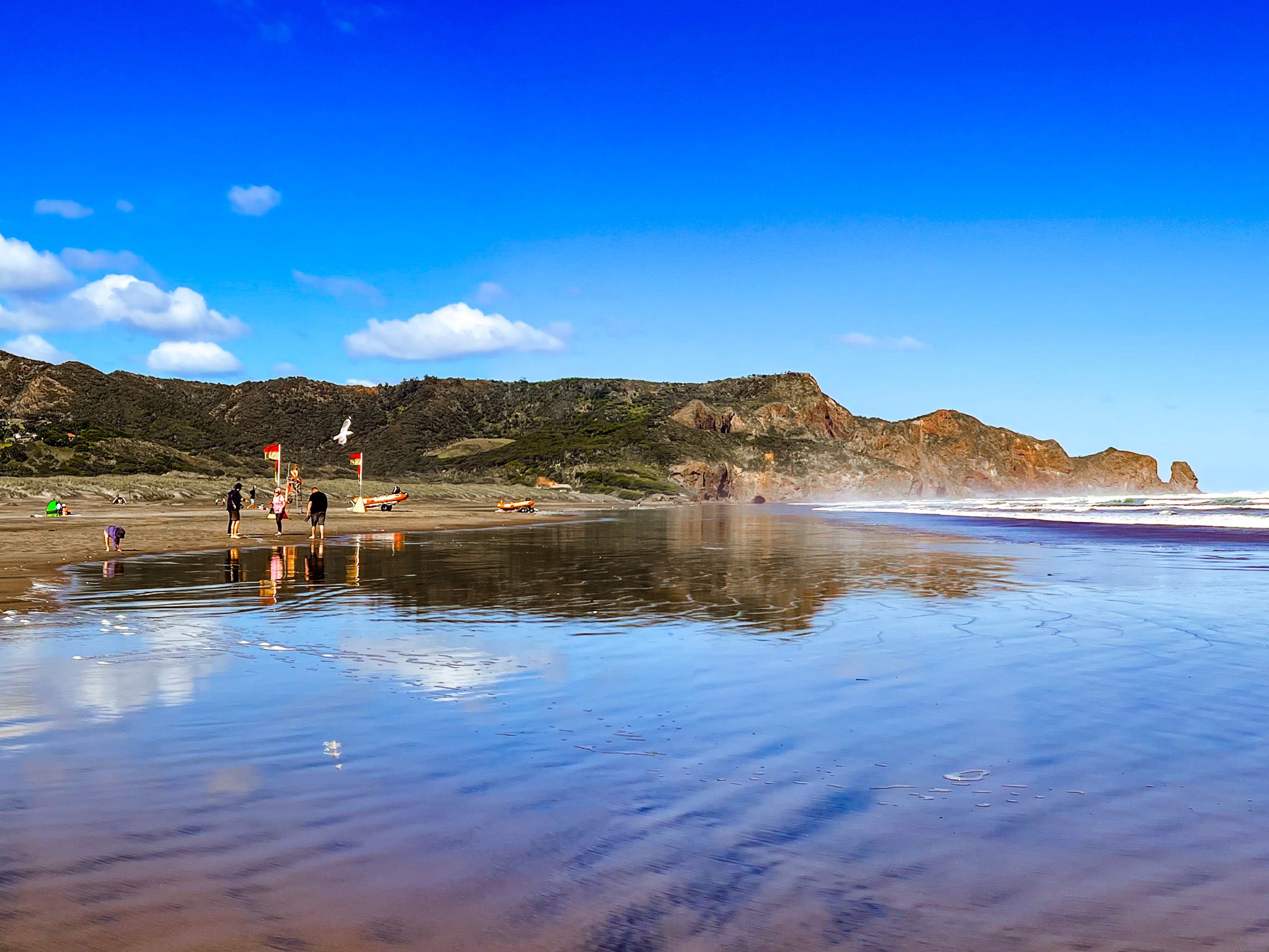
From the car park at the end of Bethells Road, a 500-metre walk along the Waitākere River outlet leads you to the beach. This stretch of coastline is patrolled for swimming just south of the river outlet, ensuring a safer experience in the surf. At the southern end of the beach, a large sea cave, one of the several Te Henga caves, awaits exploration, and during low tide, you can walk around Raeakiaki Point to Wigmore Bay.
Crossing the river at the tidal mark at the northern end of Te Henga Bethells Beach provides access to intriguing spots like Waitakere Bay and its caves, as well as beautiful O’Neill Bay.
Before reaching the beach car park, you can also access Lake Wainamu from a small car park on Behells Road, another stunning and unique Te Henga location.
Activities and Photography
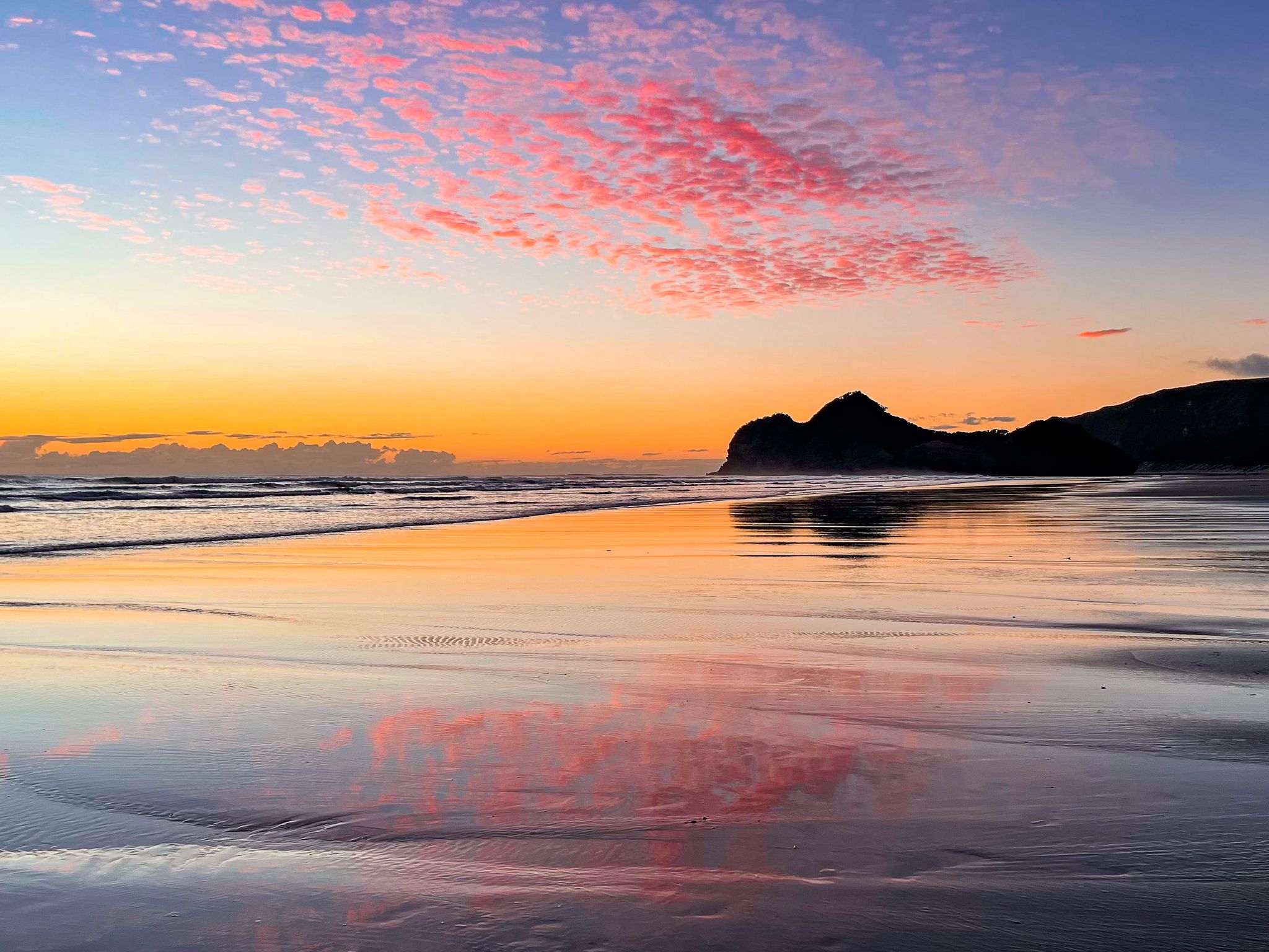
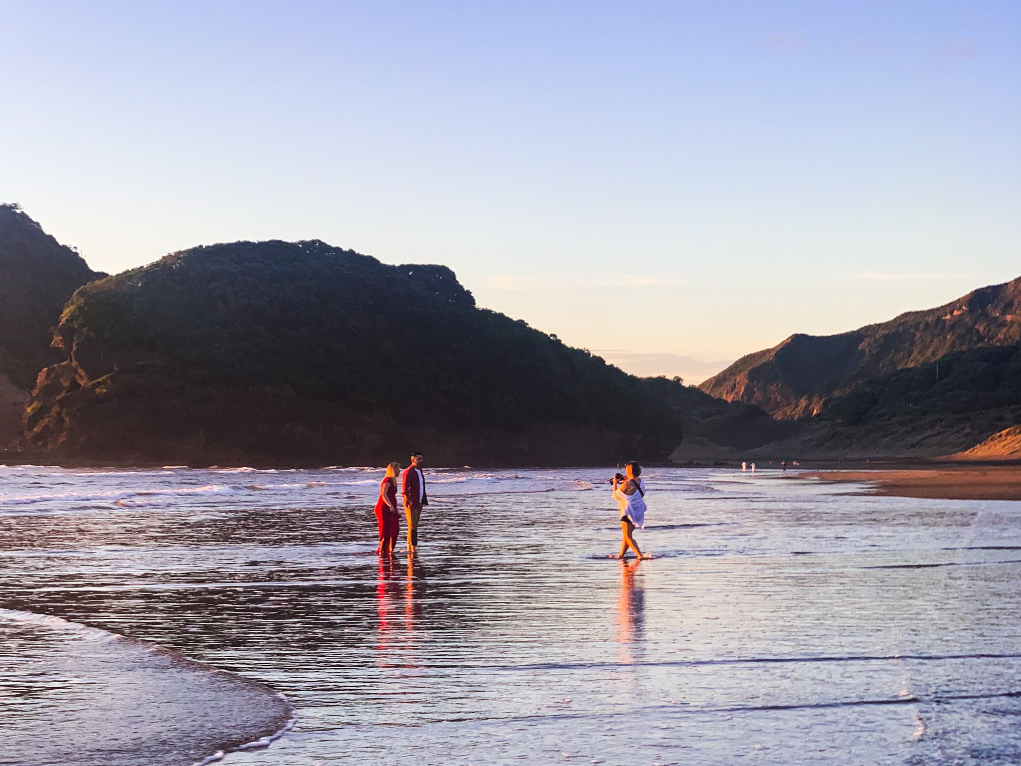
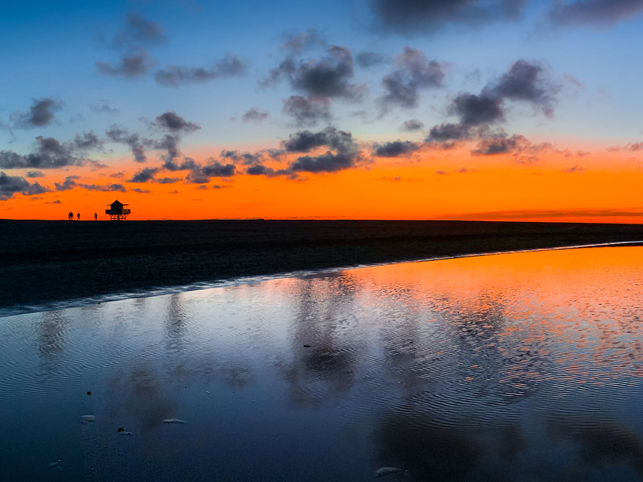
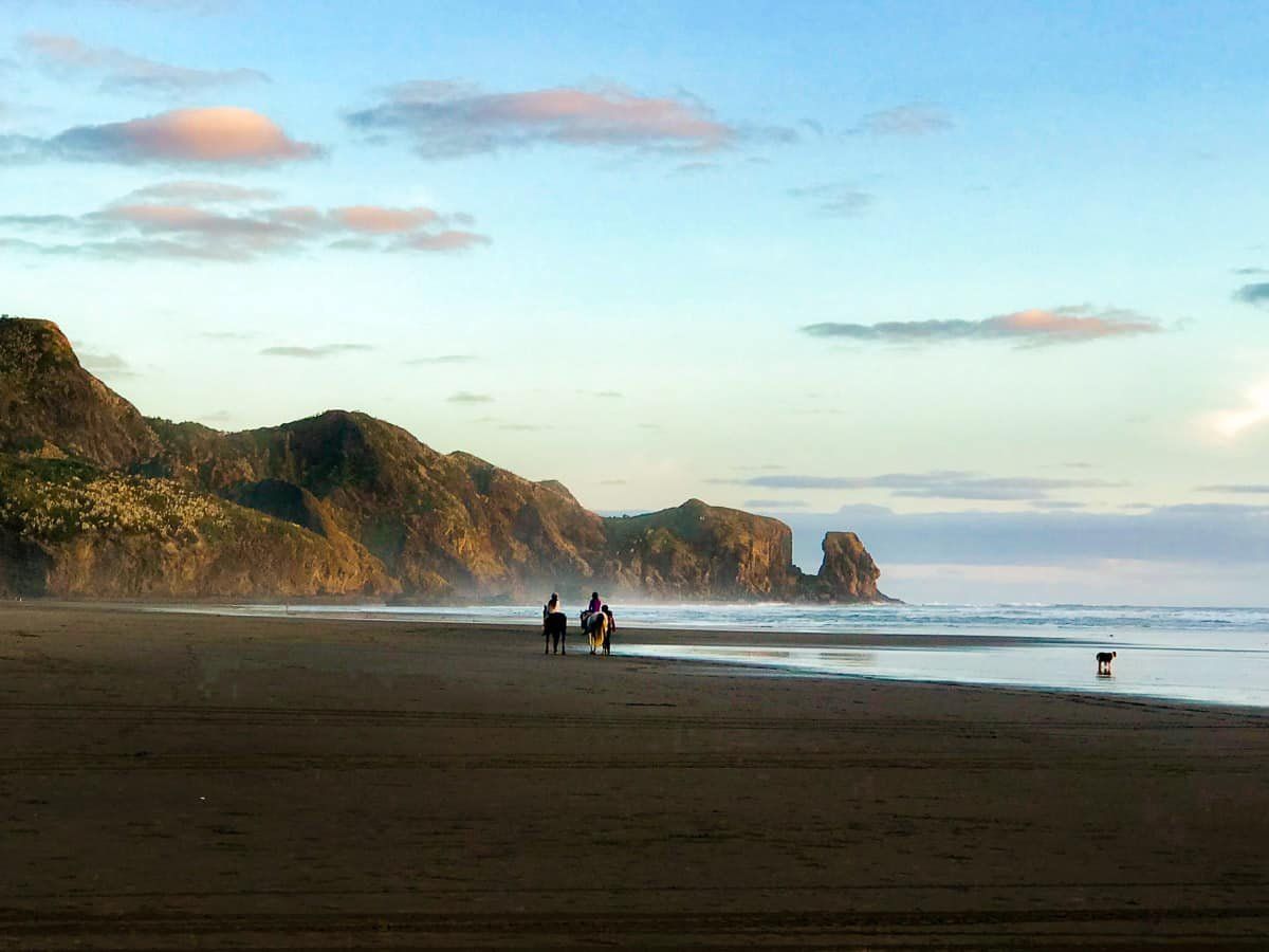
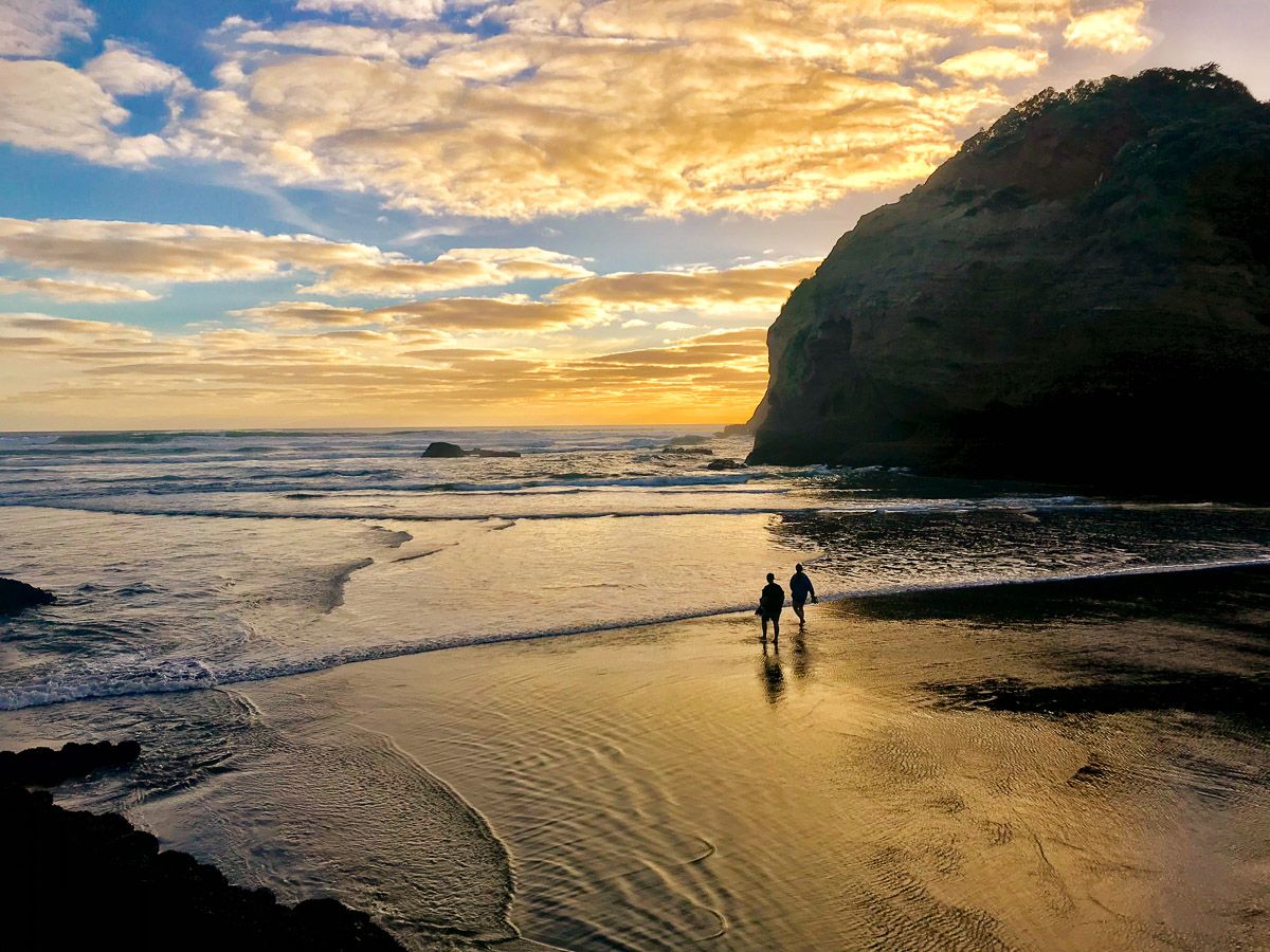
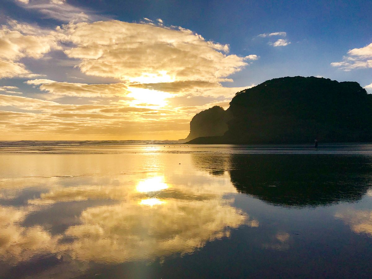
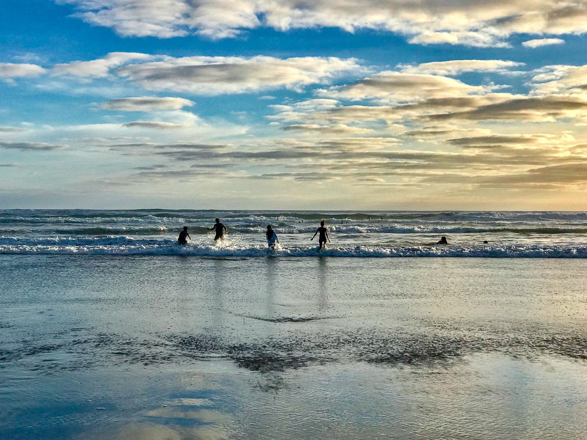
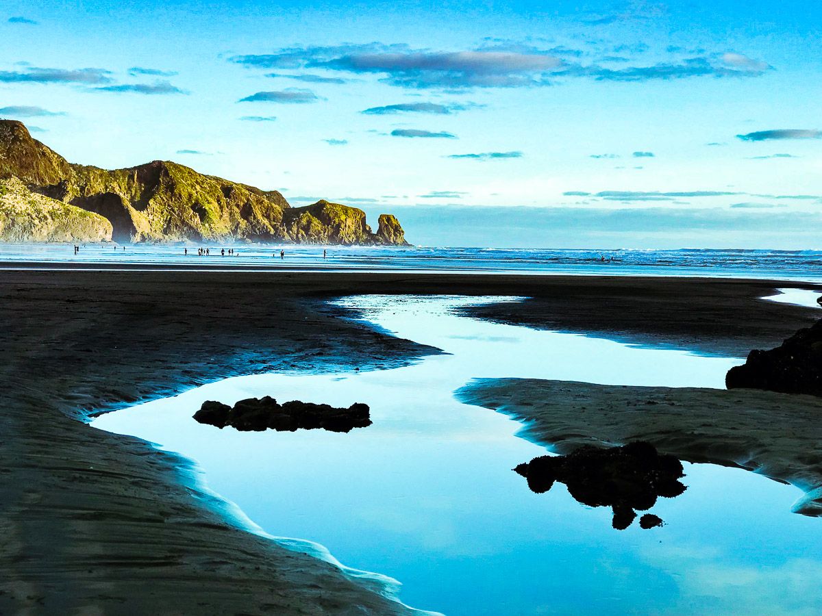
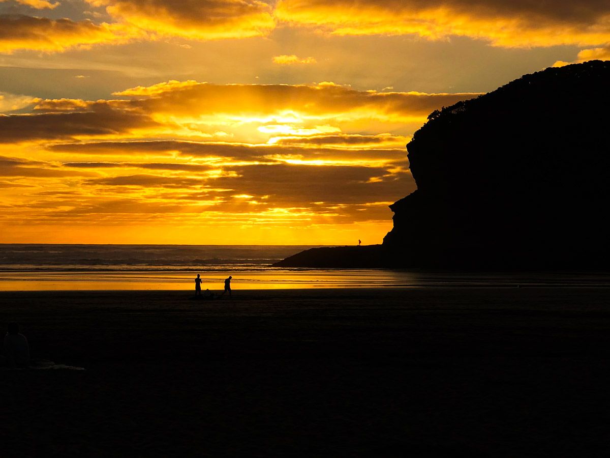
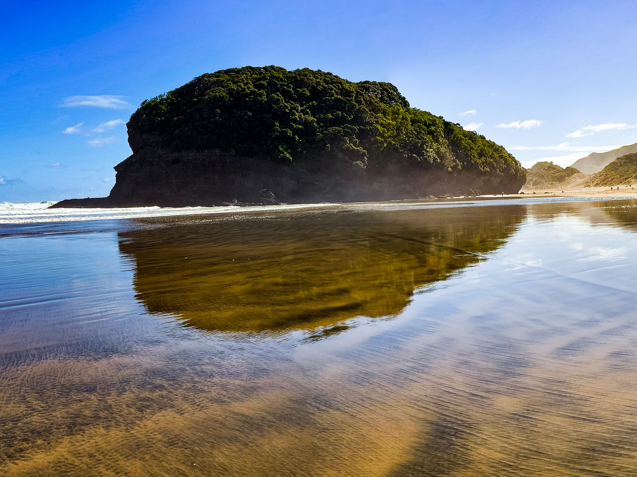
Te Henga is ideal for swimming (between the flags), surfing, and enjoying a leisurely beach walk. The beach's wide, flat black sand and surf, with reflective surf wash, especially during the golden hour, make it a favourite location for professional wedding photographers seeking that perfect romantic shot.
History Captured by the Double Name
The Māori name Te Henga describes what the beach looks like from the sea. Paddling north along the coast, the long foredunes look like the upper sideboards, the henga, or gunwale, of an upturned waka hull, distinguishing this beach from others along this coast. The name also originally applied to the lower Waitākere River valley, a place of long and intensive settlement for Te Kawerau ā Maki, the iwi of the Waitākere Ranges. The beach sat at a strategic junction between the coast and the main inland route to Auckland / Tāmaki Makaurau, and there were at least 18 pā sites and 10 kāinga in the area.
The name of Waitākere River, whose mouth meets the sea at Te Henga, means "cascading water", referring to a rock at the former river mouth where waves struck the shore. There was a Te Kawerau ā Maki settlement at Waiti, near the junction of the Waitī Stream and the Waitākere River, until around 1920, when flooding caused by the construction of the Waitākere Dam displaced the community. A Treaty of Waitangi settlement in 2014 returned land at Te Henga to Te Kawerau ā Maki, and a new eco-marae, Te Henga Whakahirahira, is planned at the front of the Lake Wainamu dune system.
The European name comes from John Neale Bethell, who arrived in Auckland from England in 1858 and moved his family to Te Henga in 1862. The Bethells cleared extensive areas of kauri and podocarp forest for farming, and the family’s descendants still own much of the valley. The area became a holiday destination from the 1930s as roads improved, and was known as Bethells Beach for decades. The New Zealand Geographic Board officially adopted the dual name Te Henga / Bethells Beach in 1976.
How to Get There
To reach Te Henga Bethells Beach, you will need a vehicle. The drive from Downtown Auckland takes approximately 50 minutes (37 km) via the western motorway to Lincoln Road, then Universal Drive to Swanson Road and Scenic Drive, heading southwest. From Scenic Drive, follow Te Henga Road, then Bethells Road to reach the beach. Although some accommodation is available around Te Henga, camping is not permitted. Services are limited, with a caravan shop and café located at the end of the car park.
Other places to explore on the way to Te Henga include the ancient kauri forest and loop tracks at Cascade Kauri, Waitakere Reservoir and Pukematekeo Lookout.