
Discovering Cascade Kauri in the Waitākere Ranges
Cascade Kauri, located within the Waitākere Ranges, is the largest ancient kauri forest in Auckland. Originally part of the Auckland Centennial Memorial Park established in 1940, this area has evolved into a significant nature reserve. The park's fabulous walks and hikes, rich history and diverse ecosystems make it a compelling destination for nature enthusiasts.
Restoration and Conservation Efforts
The Ark in the Park project, initiated in 2000, prioritised the restoration of Cascade Kauri. With its intact forest and diverse ecosystems, the area was ideal for conservation efforts. Predator control began in 2002 and continues to protect the native flora and fauna. Although access was closed in 2017 due to kauri dieback, it reopened in late 2023 with upgraded tracks, including the Montana Heritage Trail.
Montana Heritage Trail
The Montana Heritage Trail is a 9.4 km loop through the Waitākere Ranges that takes around four hours to complete. Starting from the Falls Road car park near Cascade Kauri, the walk follows the Waitākere River, then climbs 280 metres to a ridgeline, passes through towering kauri groves, regenerating forest and historical logging routes. Along the way, you’ll trace the edge of the Waitākere Reservoir and return through some of the park's most significant conservation areas.
Startign the Walk
Begin at the Falls Road car park, where a trail map and information panels set the scene. Follow the Lower Te Piringa Track, formerly known as the Auckland City Walk, which skirts the Waitākere River. The name Te Piringa was gifted by local iwi Te Kawerau ā Maki, and refers to a place of coming together and the shared commitment to protecting this ngahere (forest).
As you walk down to the bridge over the Waitākere River, you'll reach a wāhi whakanoa, where you can cleanse your hands, a gesture of respect before entering the forest.
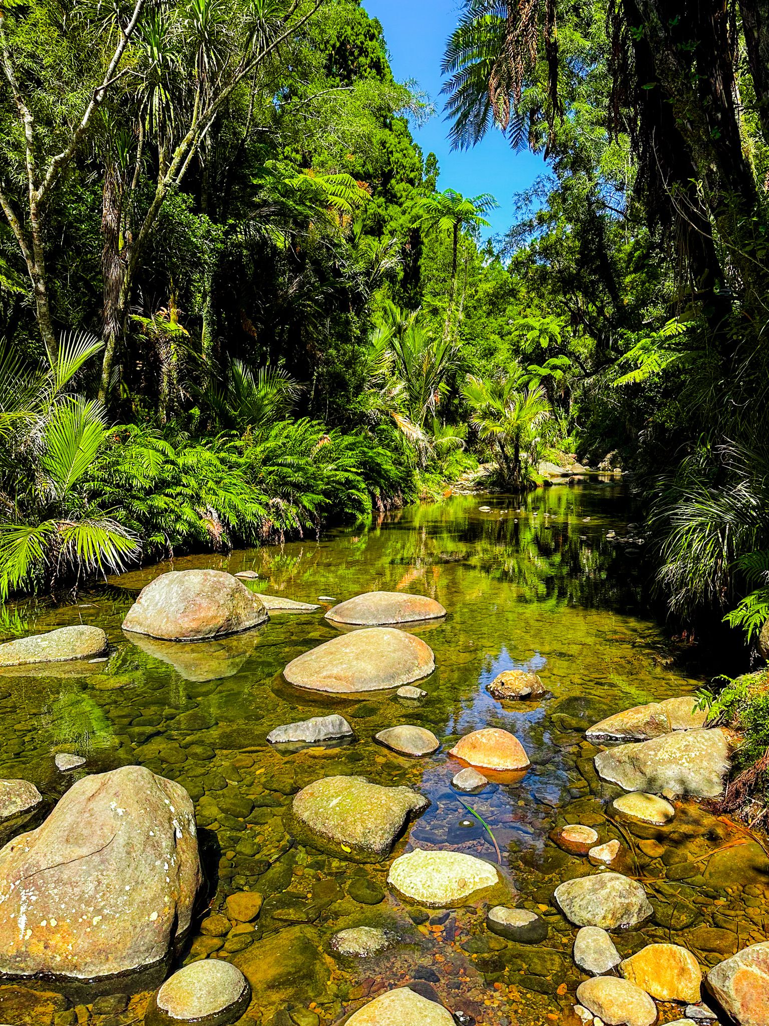
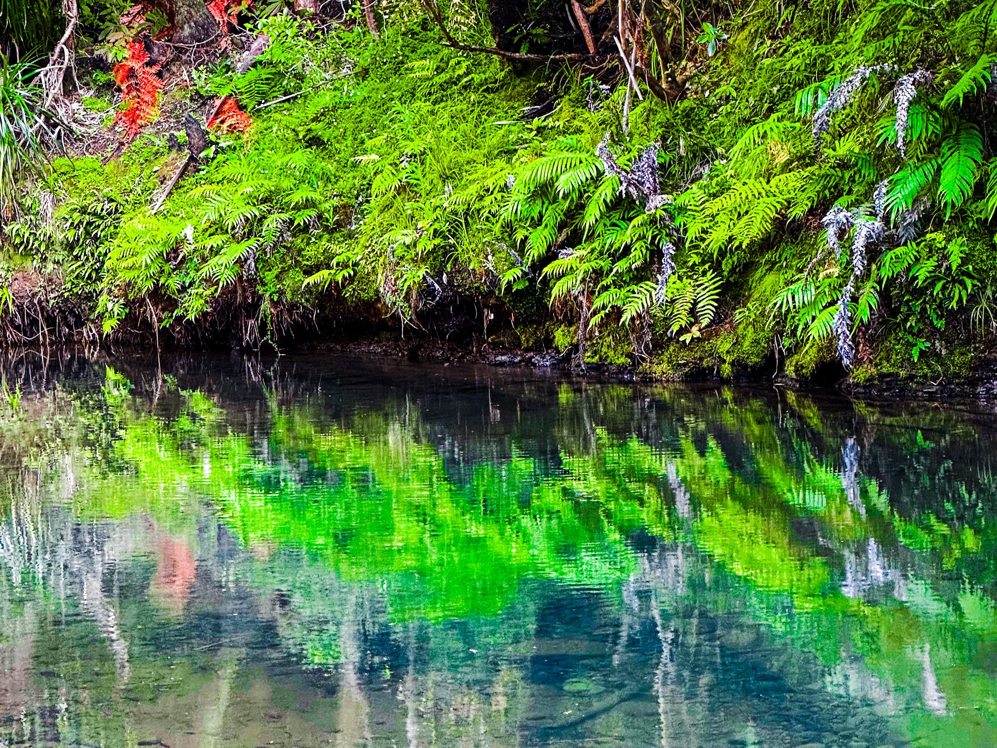
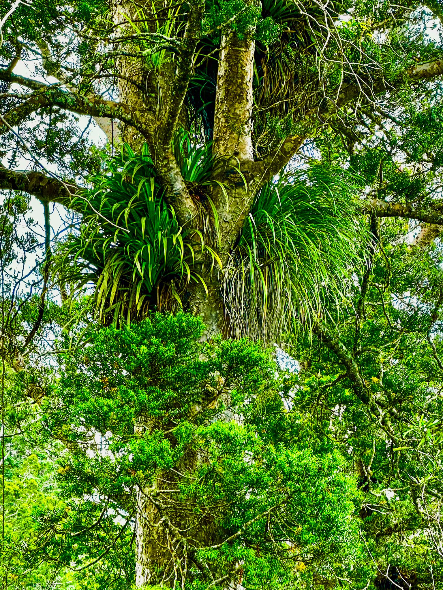
The flat gravel path crosses a bridge over the river and continues upstream through podocarp-broadleaf forest. You'll walk along the river beneath rimu and kahikatea, with tūī or pīwakawaka overhead. This is the most accessible stretch of the loop, and one of the most ecologically diverse.
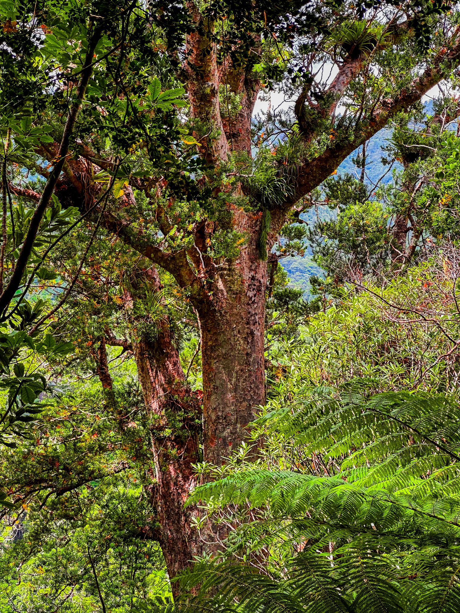
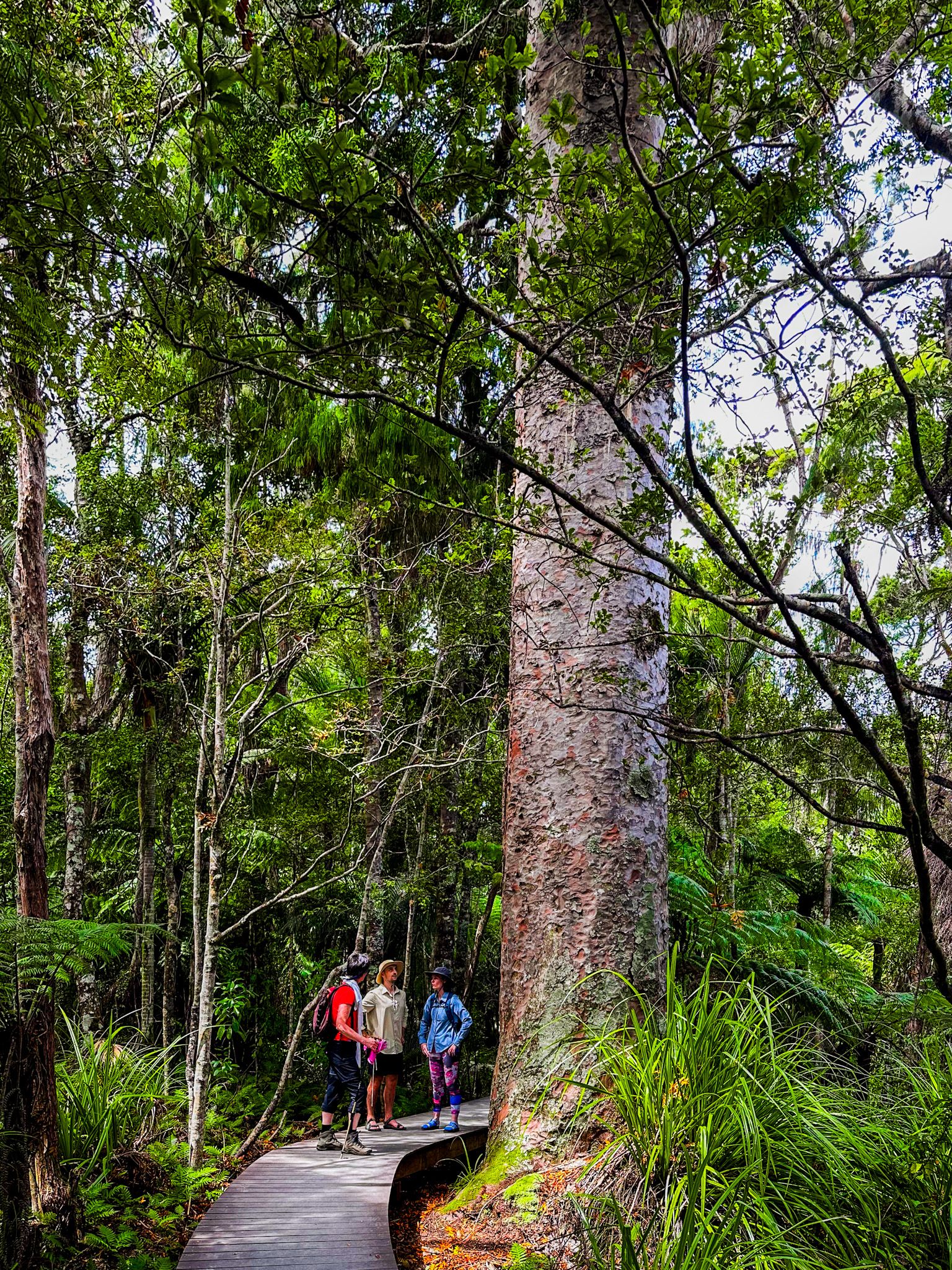
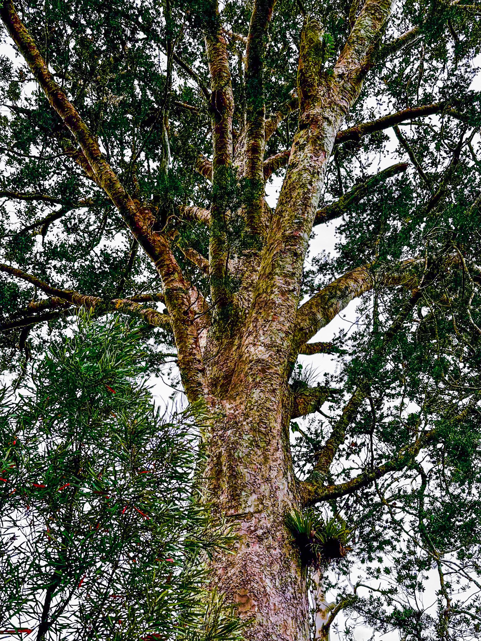
Climbing Through the Kauri
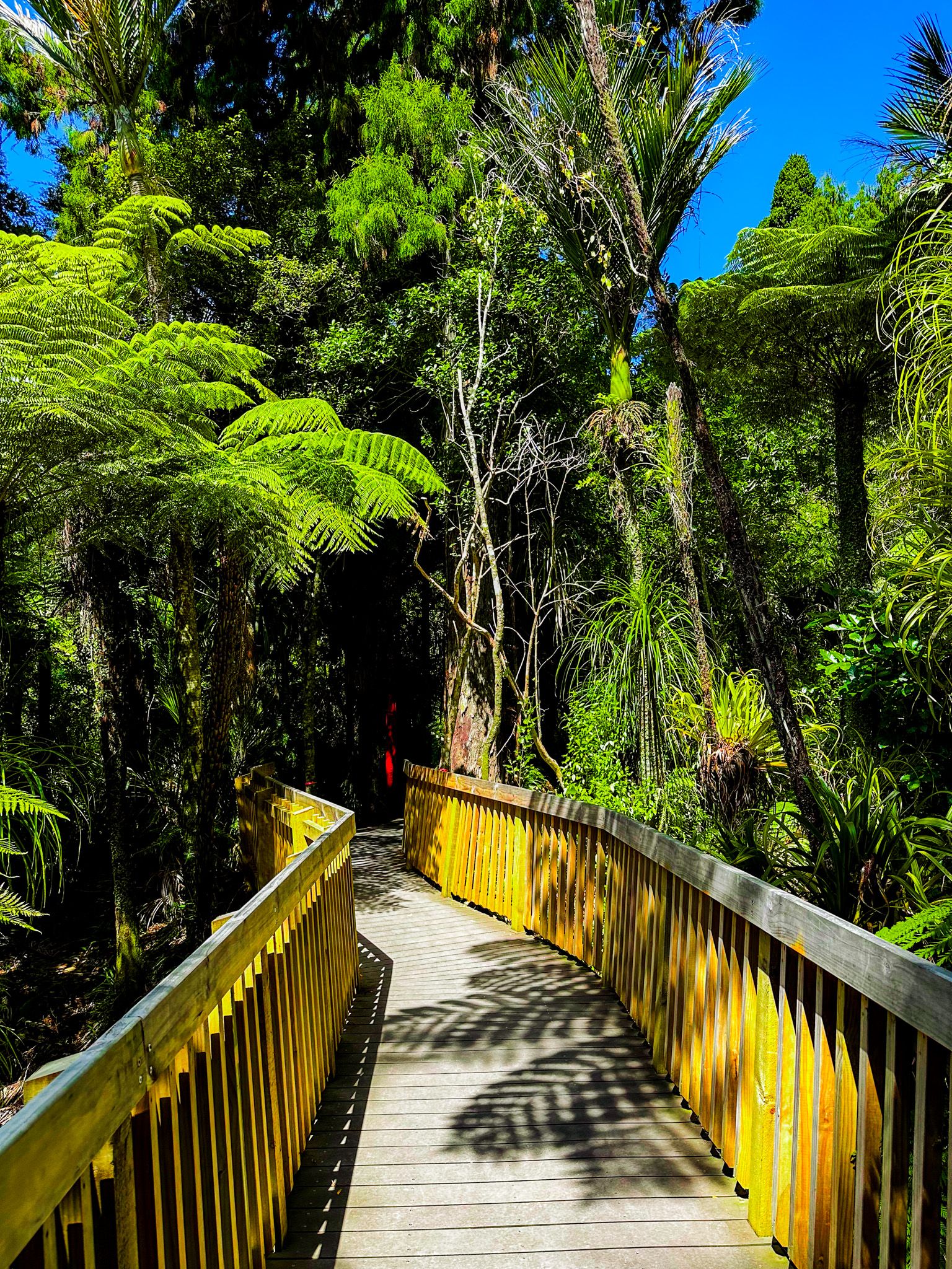
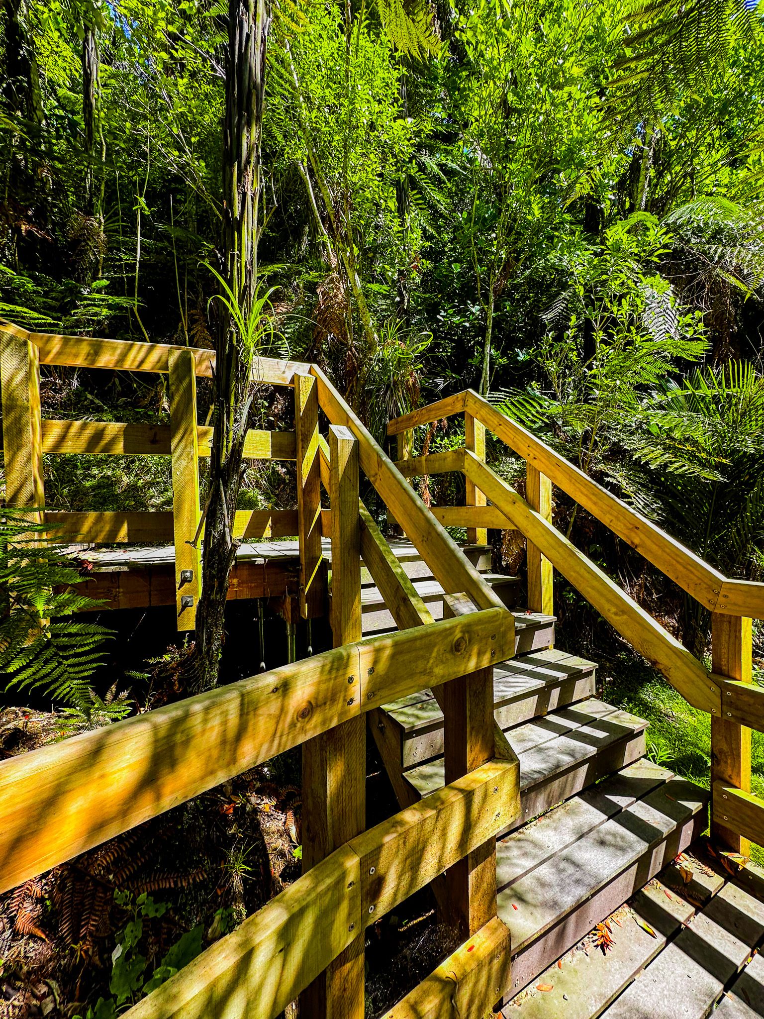
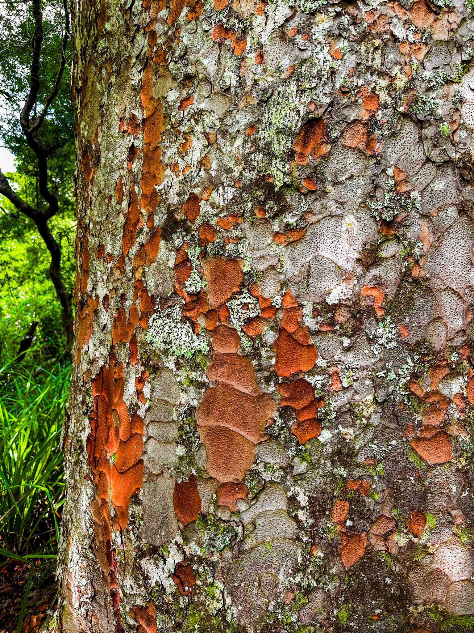
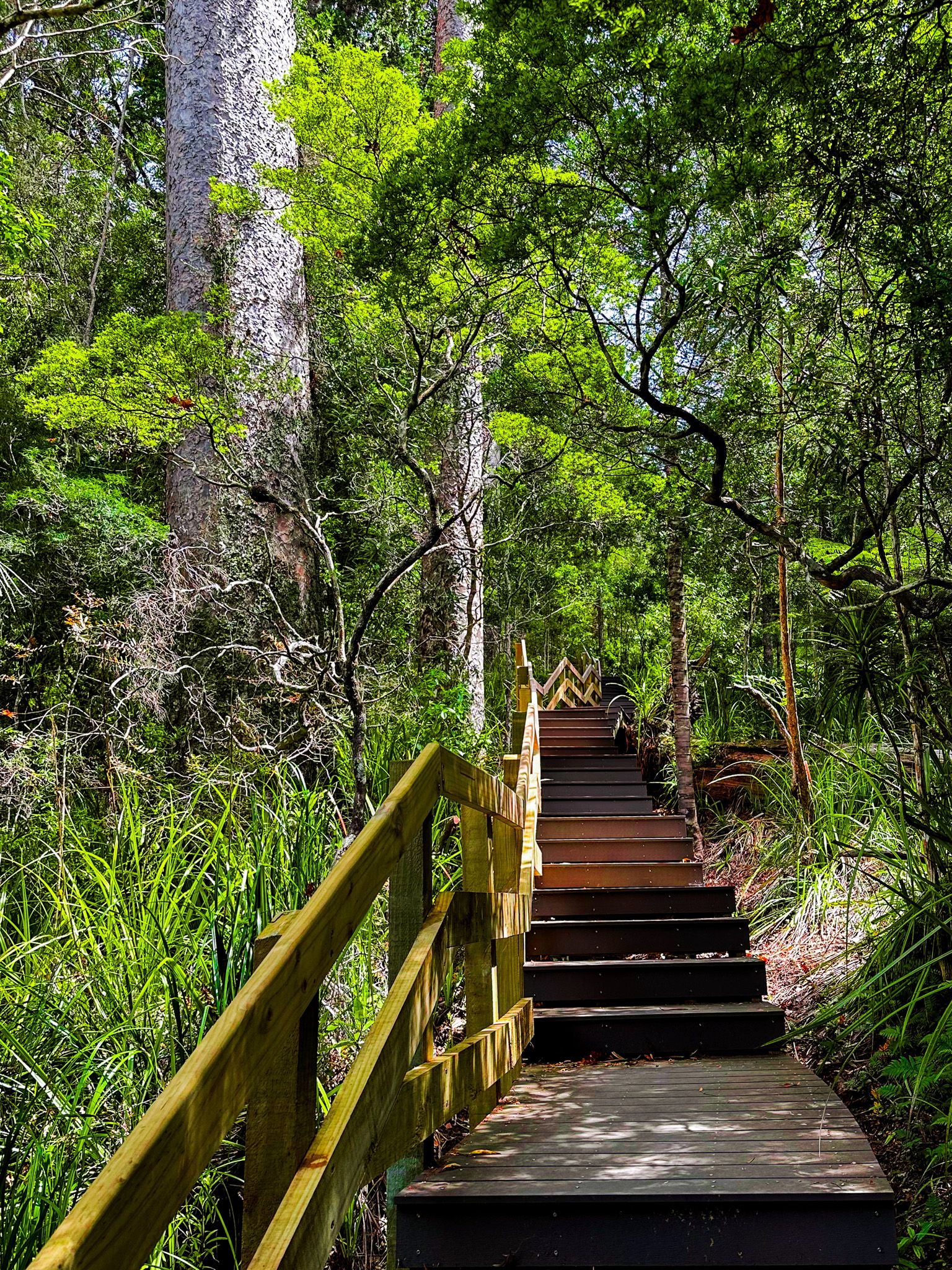
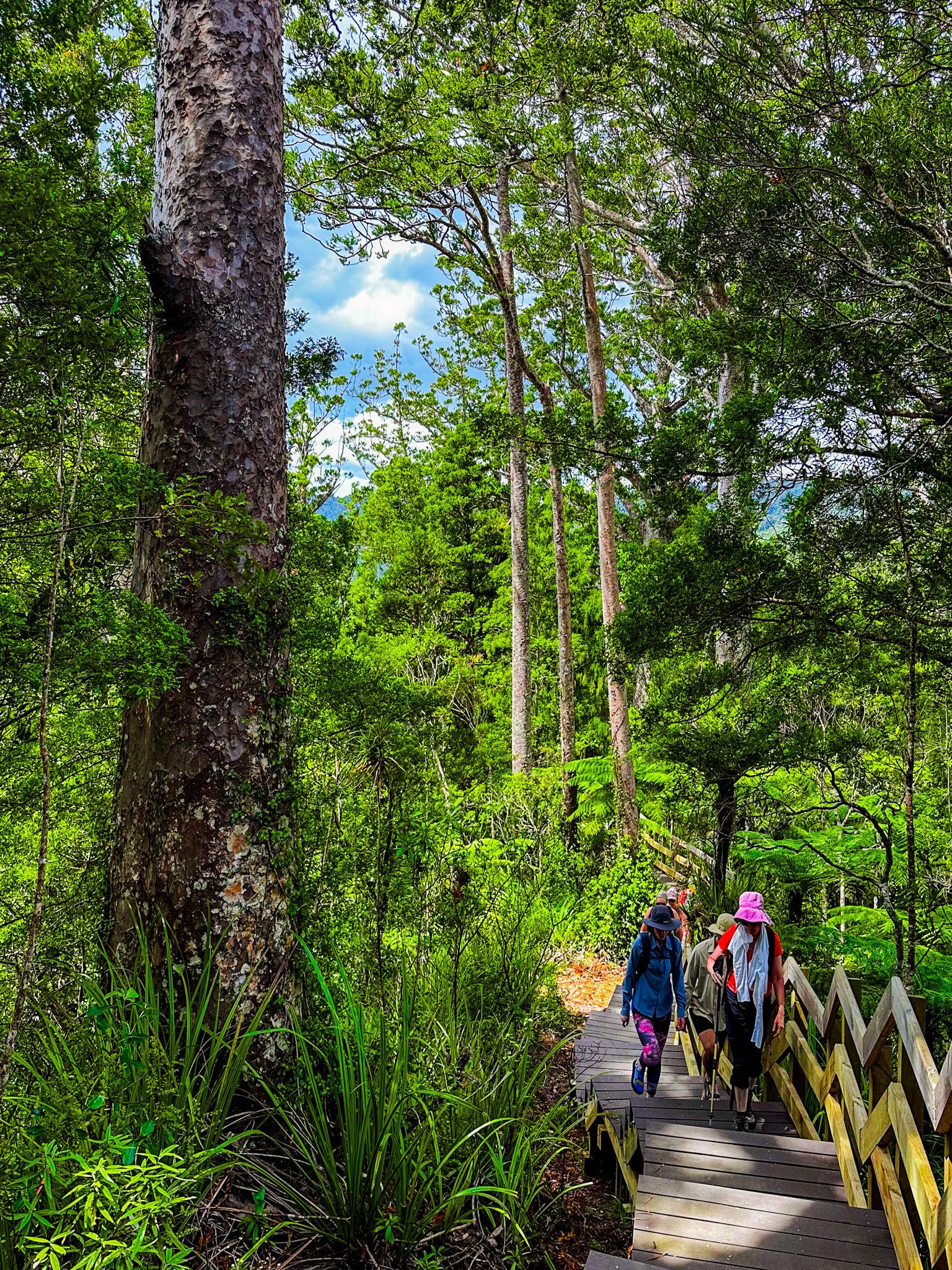
At the signposted junction and pou, turn south onto the Upper Kauri Track. This section climbs steeply, first via gravel and then onto raised boardwalks designed to protect the forest floor. Towering kauri, up to 800 years old, line the route. As you gain elevation, the canopy opens to occasional views across the Waitākere Ranges.
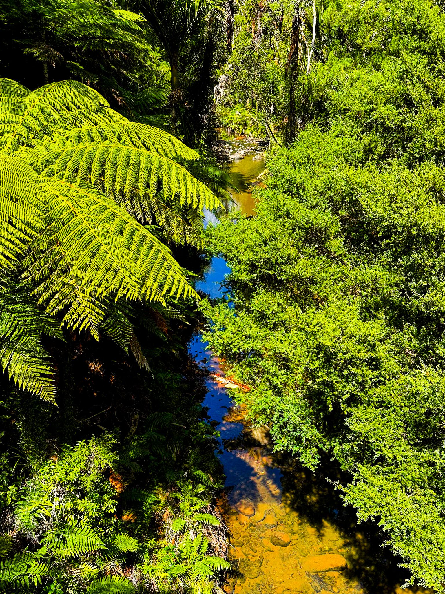
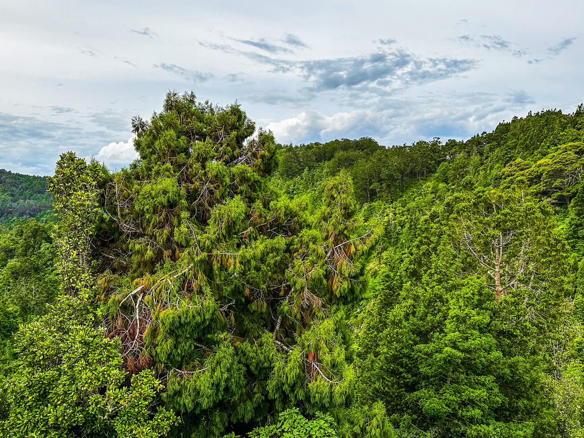
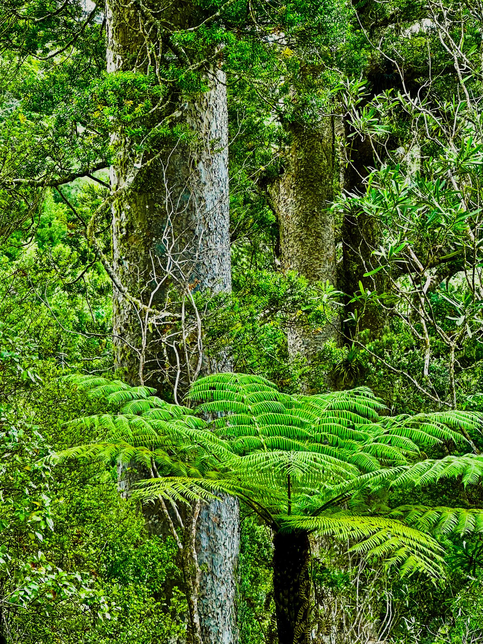
Along the Ridges
The Upper Kauri Track then undulates along a ridge, high above the steep Cascade Stream. It leaves the kauri forest and enters a regenerating forest, with this track connecting to the Long Road Track at Smyth Corner. Long Road once marked the boundary between logging concessions and farmland. Timber remnants and interpretive signs detail the area’s past life as a mill site.
Head east along another ridge on Long Road to connect with the Fenceline Track at Simla. The area is now mainly regenerating forest, with tree ferns, kānuka and mānuka, but you may spot the odd sign of historic habitation. The most notable example is the cluster of eotic pines around Simla.
From Smyth Corner, you can also follow Long Road west to Pae o Te Rangi, a regional park off Bethells Road.
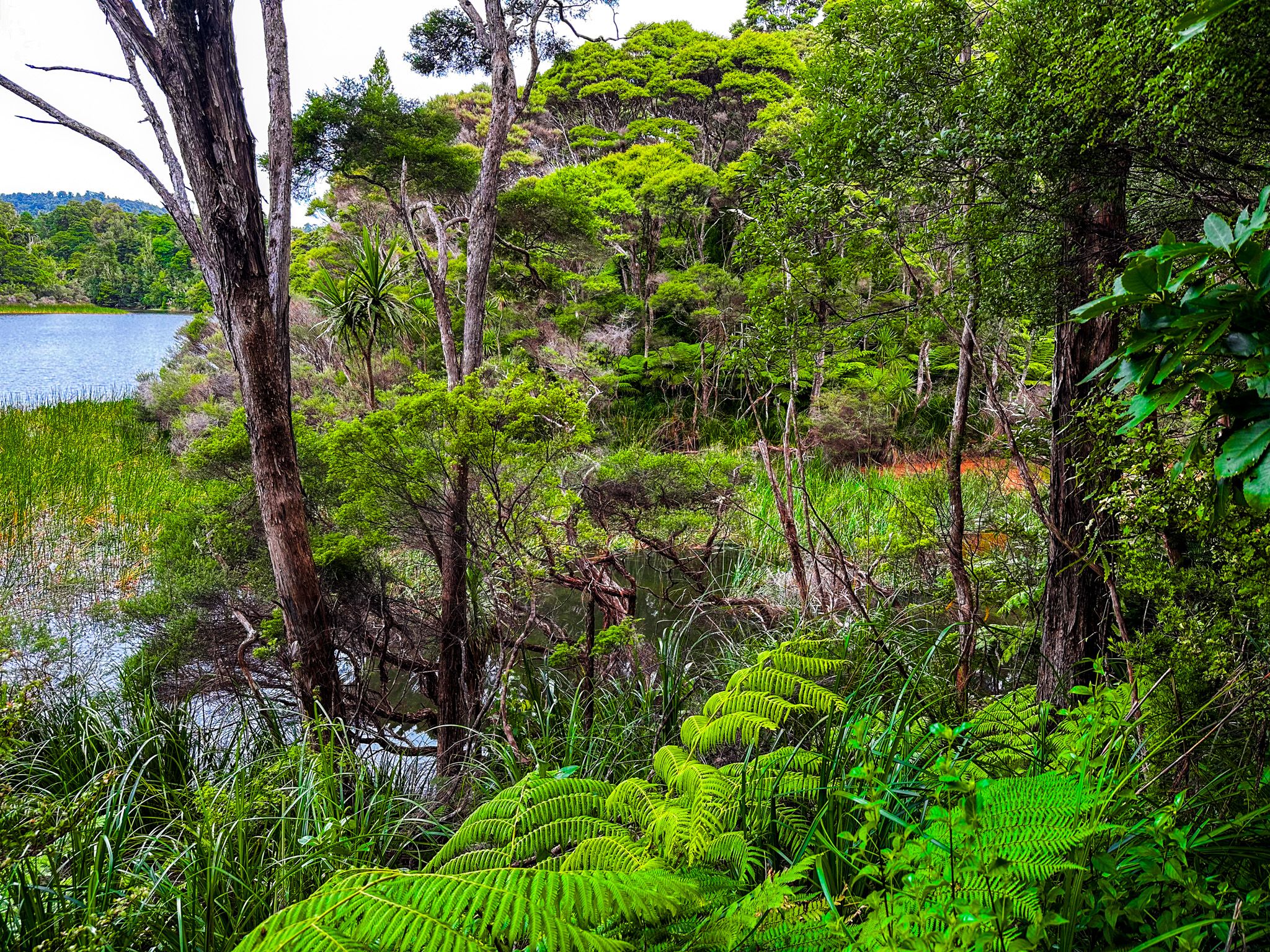
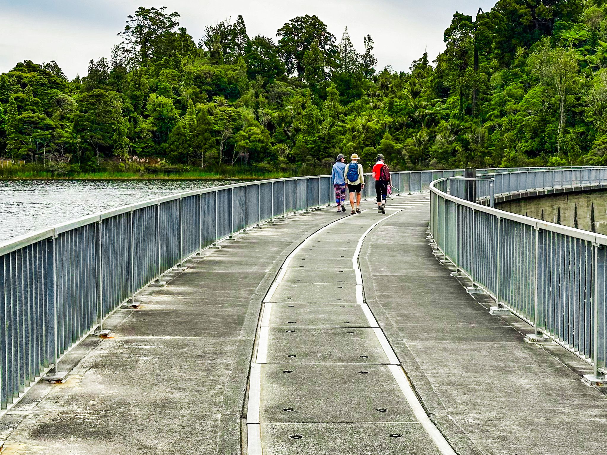
Toward the Reservoir and Dam
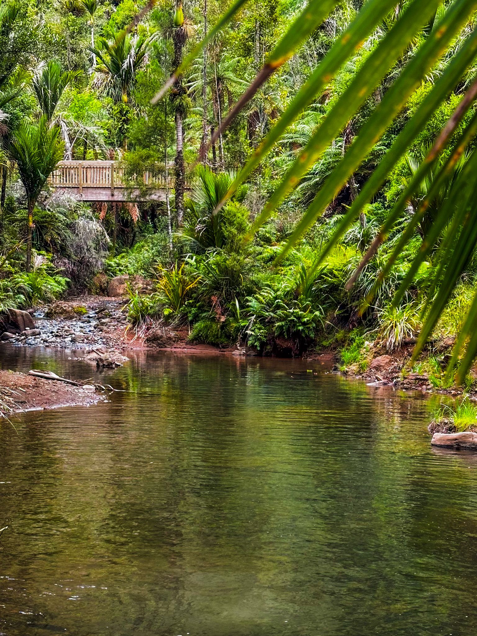
From Simla, you take the Fenceline Track north through the exotic pines. The track gradually descends to the west side of the Waitākere Reservoir and dam as it reenters regenerating forest. The final section is alongside the reservoir, across an earth dam, then into young kauri trees, before reaching the main concrete dam. The dam is accessible, with outstanding views. There are toilets, and you can walk down some stairs to the top of the 80 metre high Waitākere Falls. You can also walk the access road on the east side of the dam to the Scenic Drive.
Steep Steps back to the River
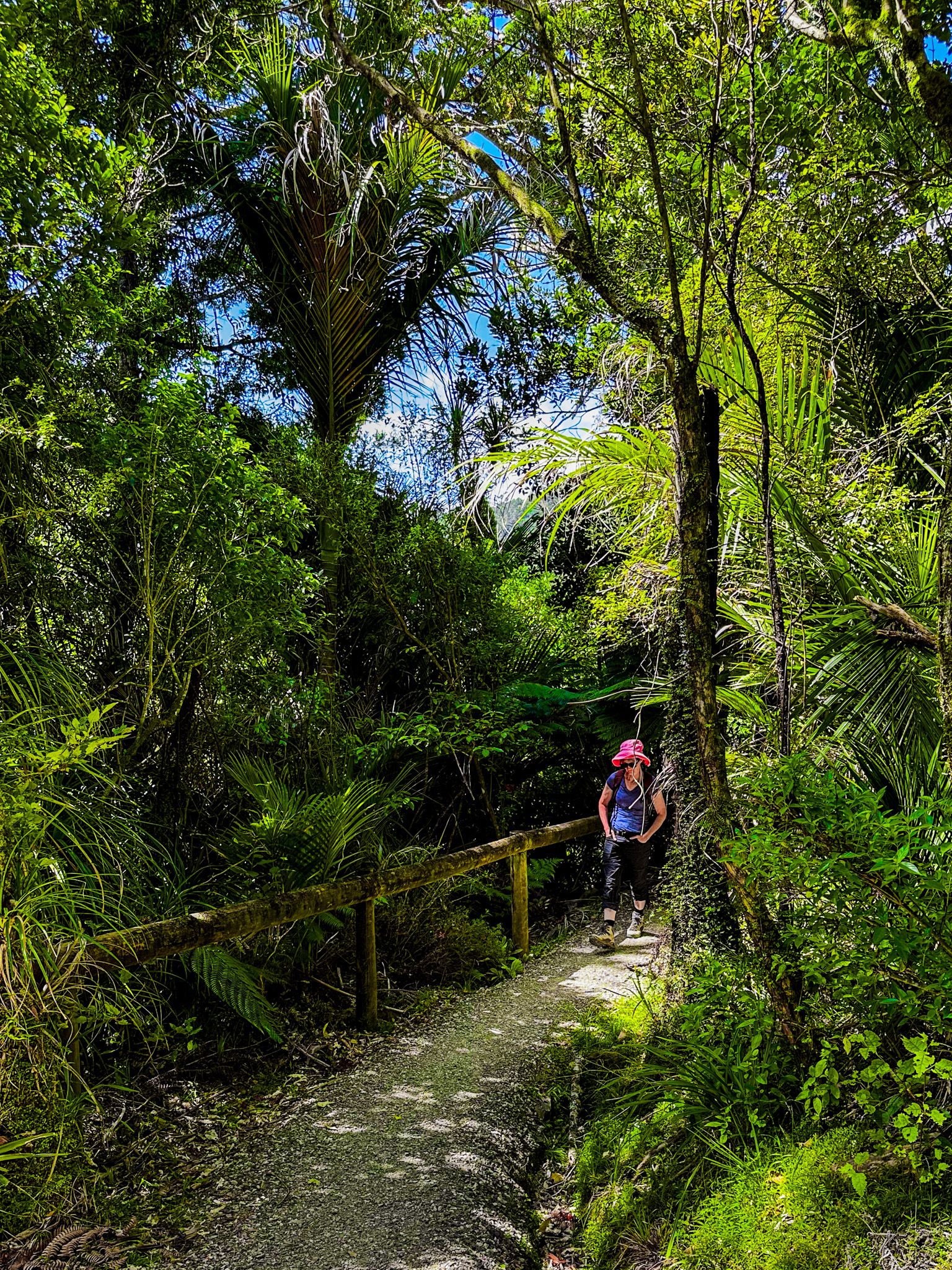
Heading north back towards the river, the first 600 metres from the dam is undulating, but the track then drops into a new section of big ancient kauri, with many steep steps. This is the steepest part of the trail, but the trees are magnificent and the views superb. At the bottom, you are back beside the Waitākere River on the Lower Te Piringa Track. Follow this to complete the loop, looking out for a place to cool off in the river!
Choosing Your Path
You can walk the loop in either direction, but starting with the Upper Kauri Track is a less steep ascent. The most significant kauri trees are found near the ridgelines. If you prefer a shorter walk, consider a 60 to 90-minute round trip on either side of the loop to see these majestic trees.
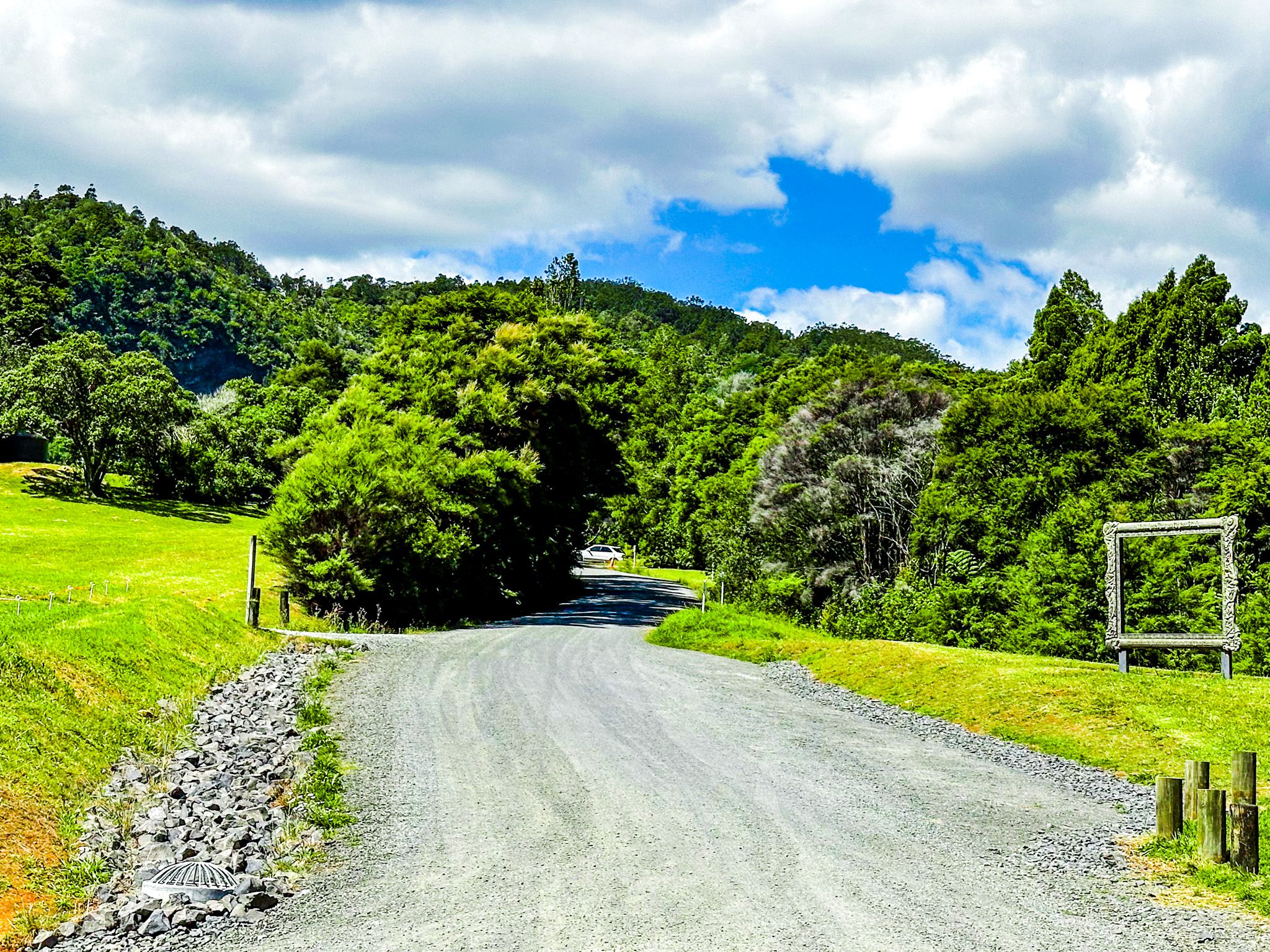
Getting to Cascade Kauri
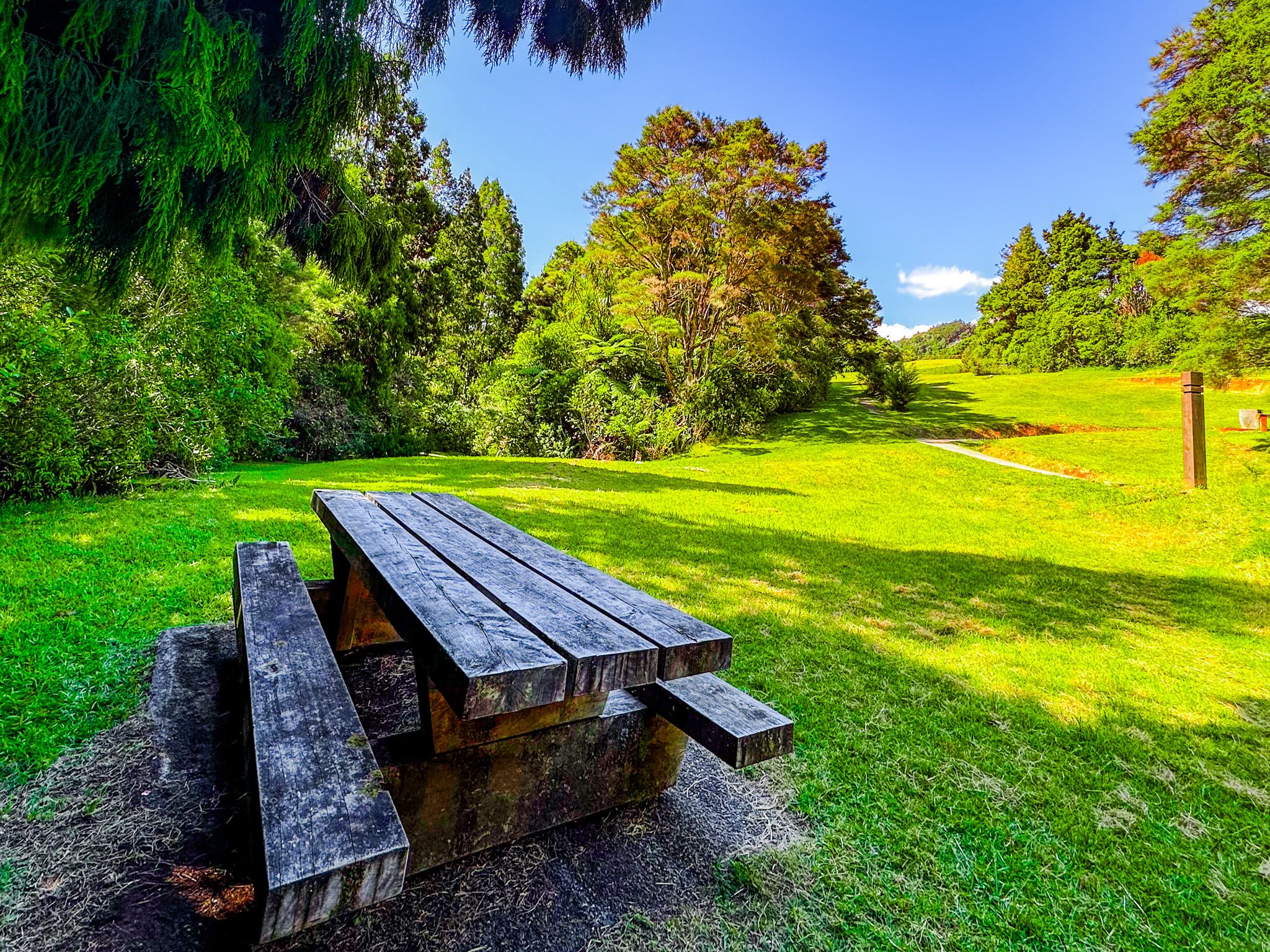
To reach Cascade Kauri from Downtown Auckland, take the western motorway to the Lincoln off-ramp. Head south towards Henderson on Lincoln Road, then turn west onto Universal Drive. This takes you to Swanson Road, then to Scenic Drive. From Scneci Drive, turn onto Te Henga Road, then gravel Falls Road. Drive around the Waitākere Golf Course to the lower car park at the end of Falls Road. The drive is 27 km and takes around 35 minutes.
Although Cascade Kauri has the largest collection of ancient trees in Auckland, other tracks with big trees include Large Kauri Tree, Fairy Falls, Arataki Nature Trail, Maungaroa Track and Zig Zag Track.