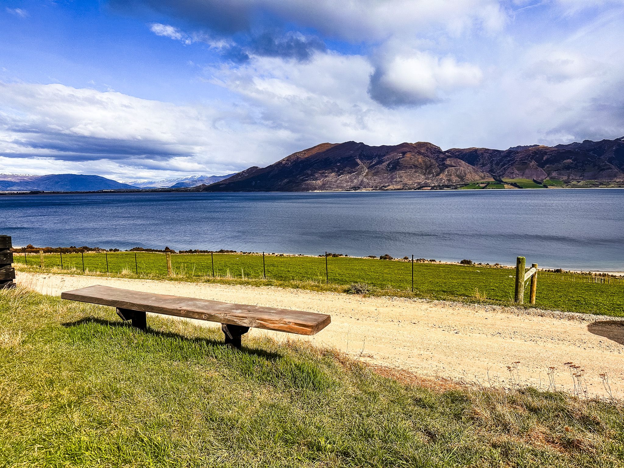
Lake Hāwea's Quiet East Shore Drive
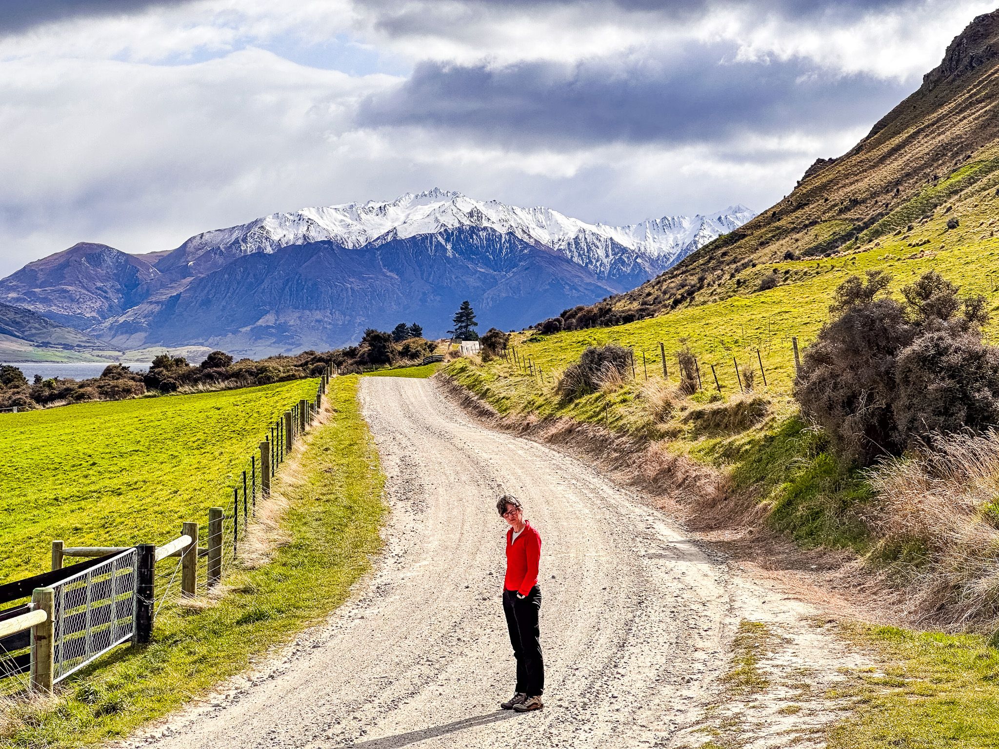
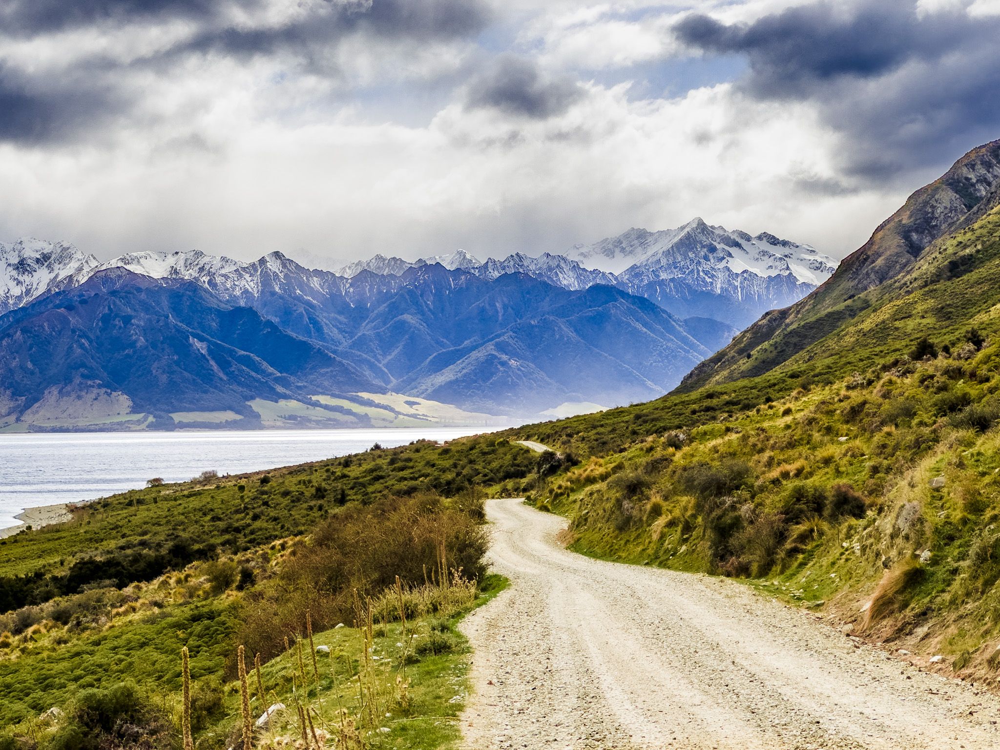
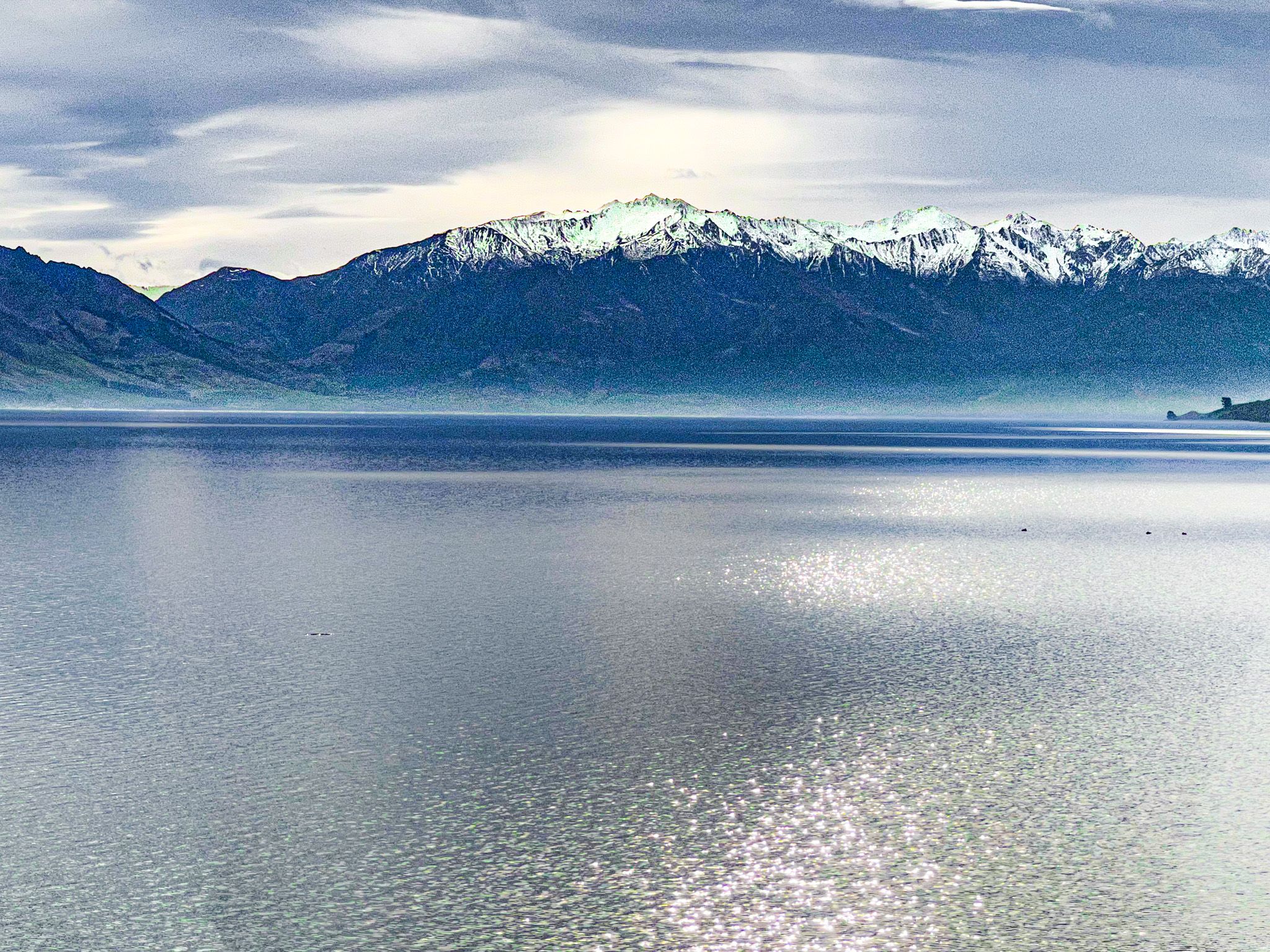
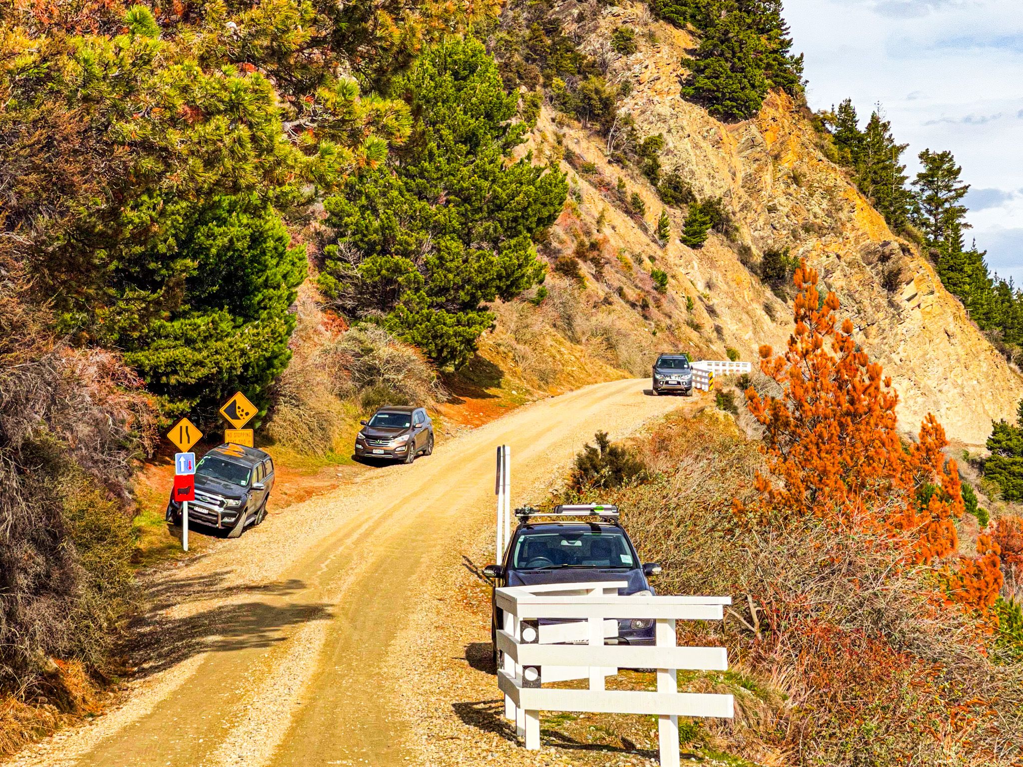
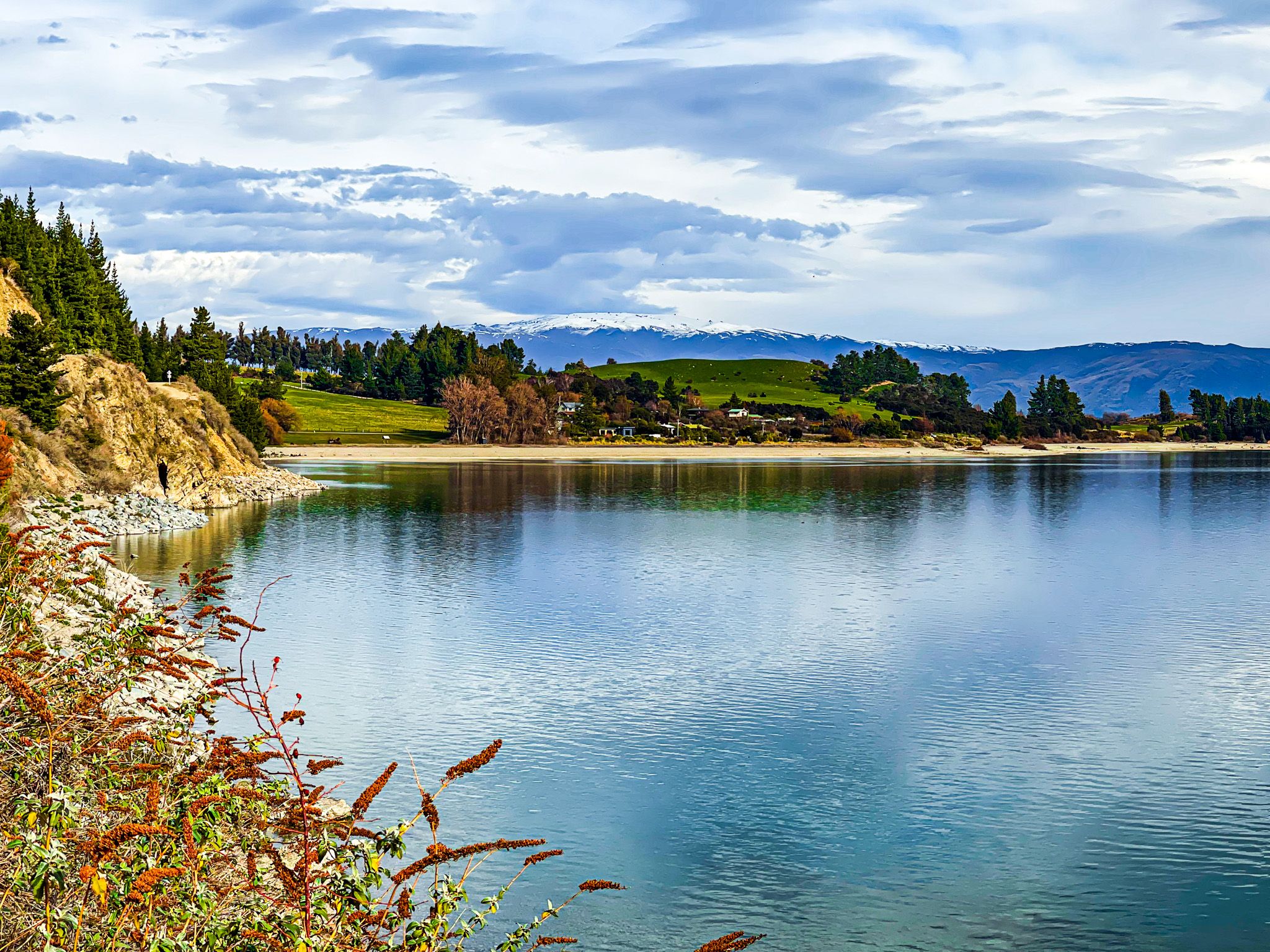
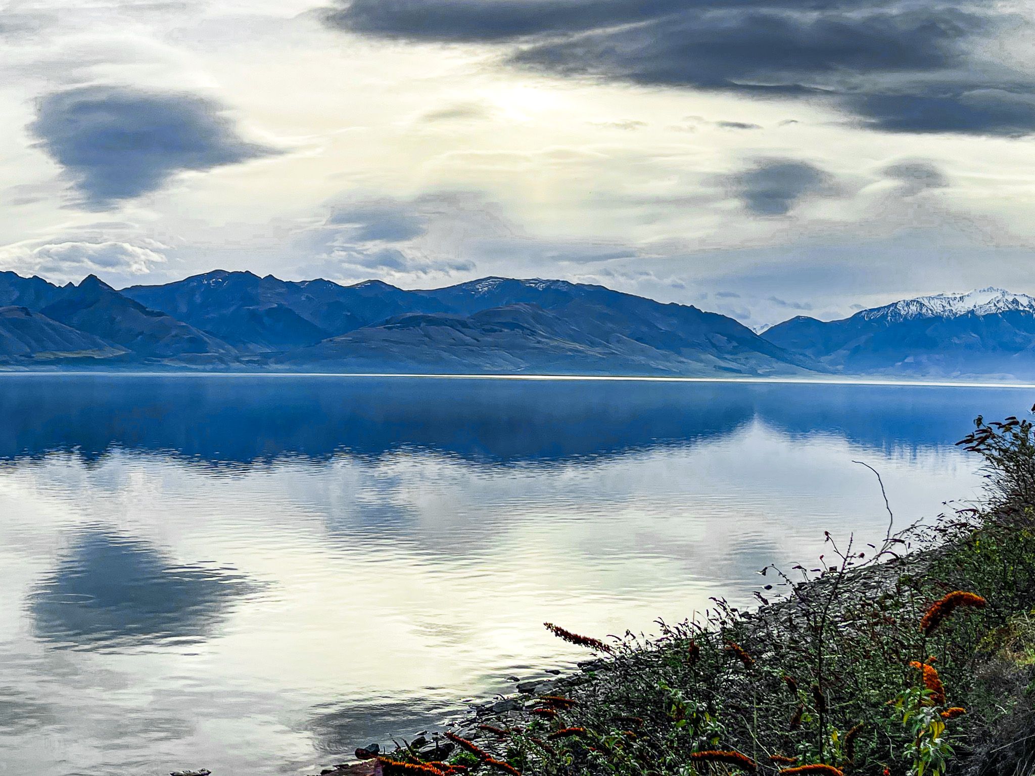
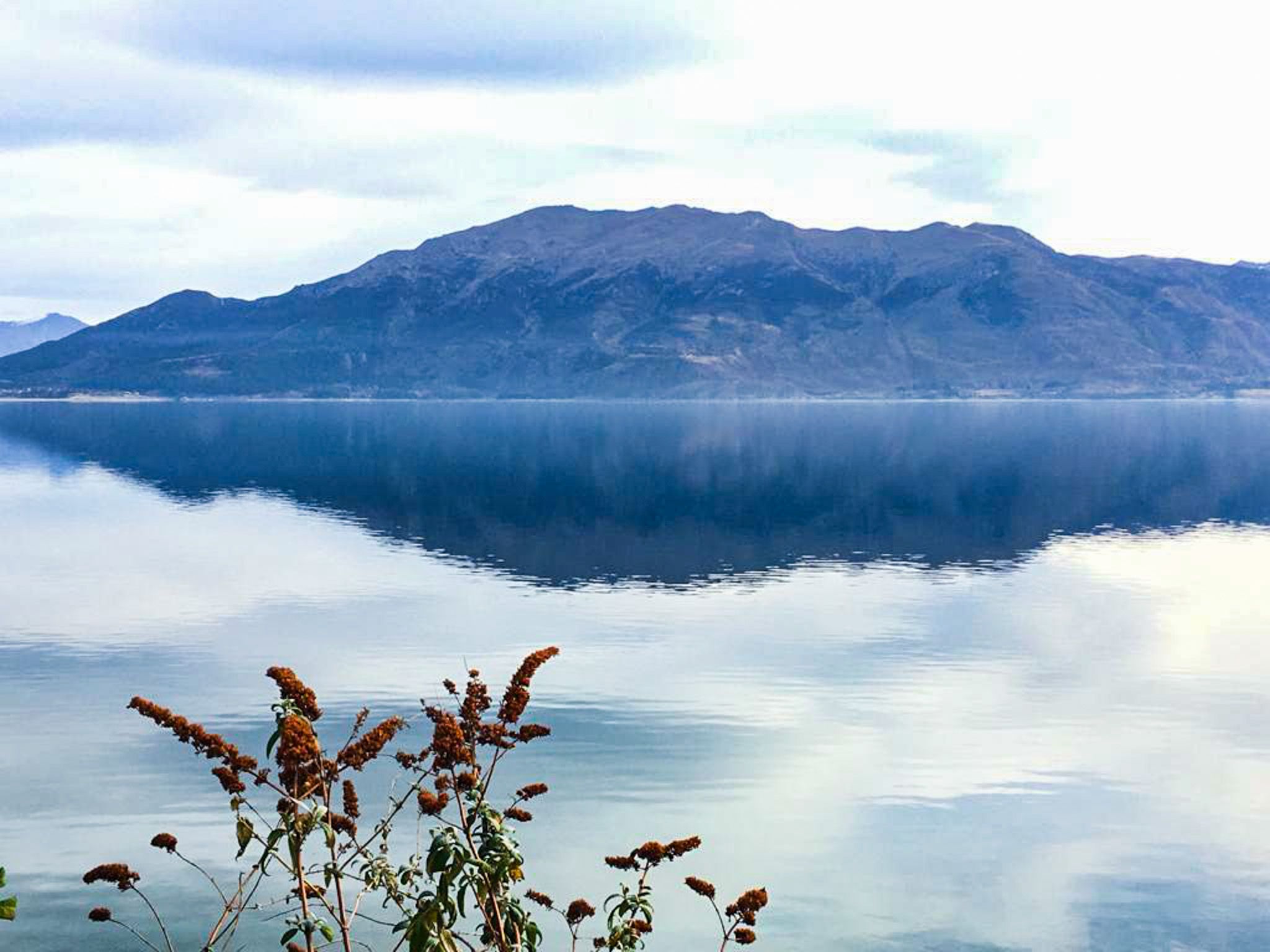
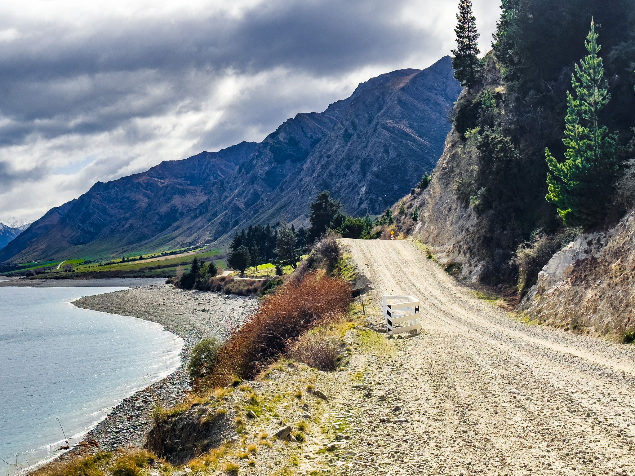
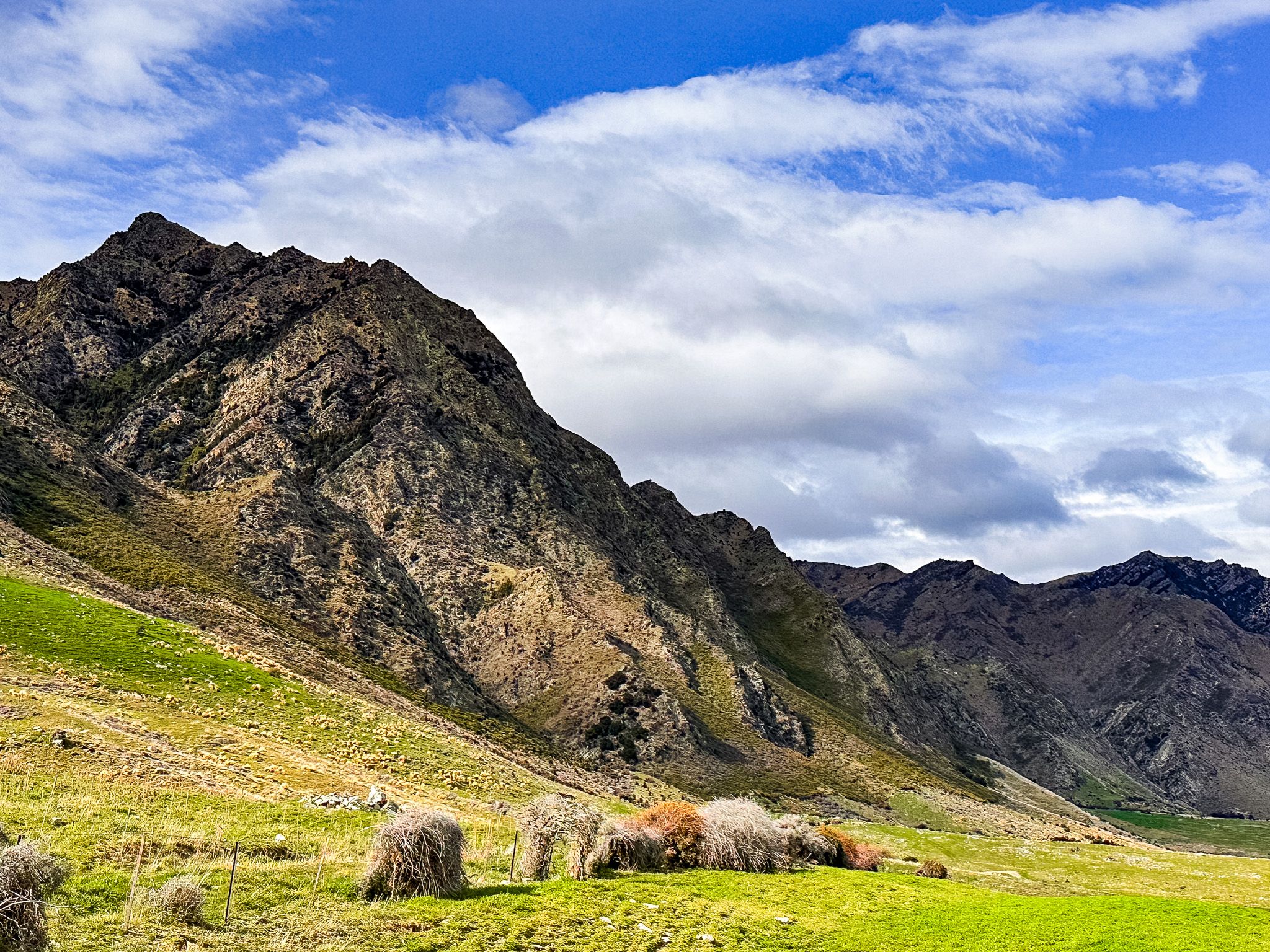
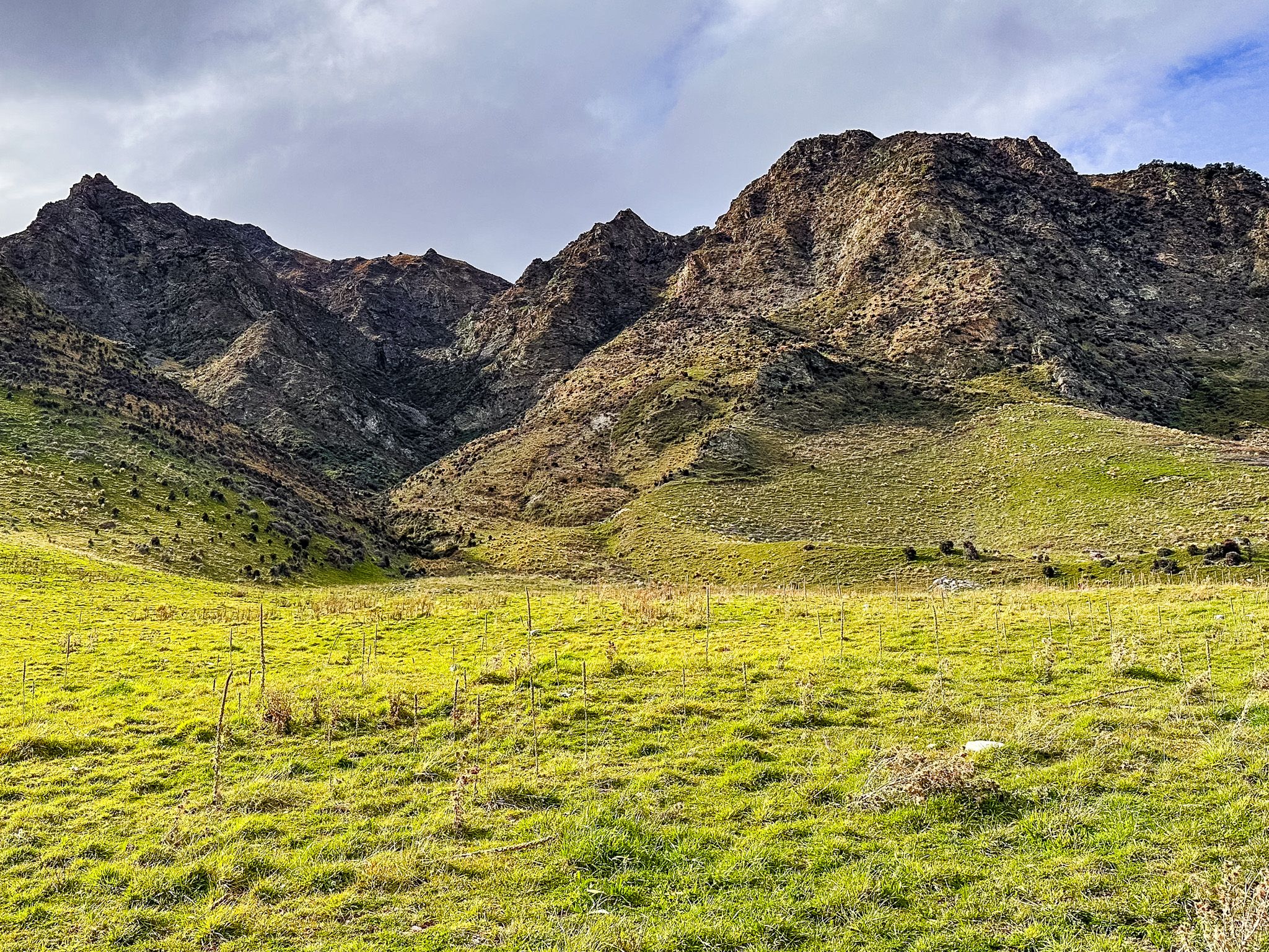
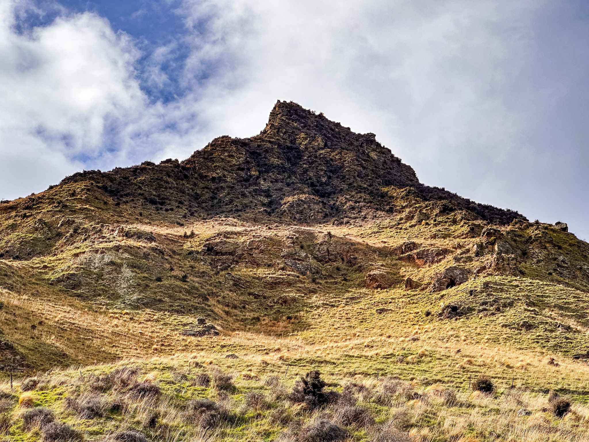
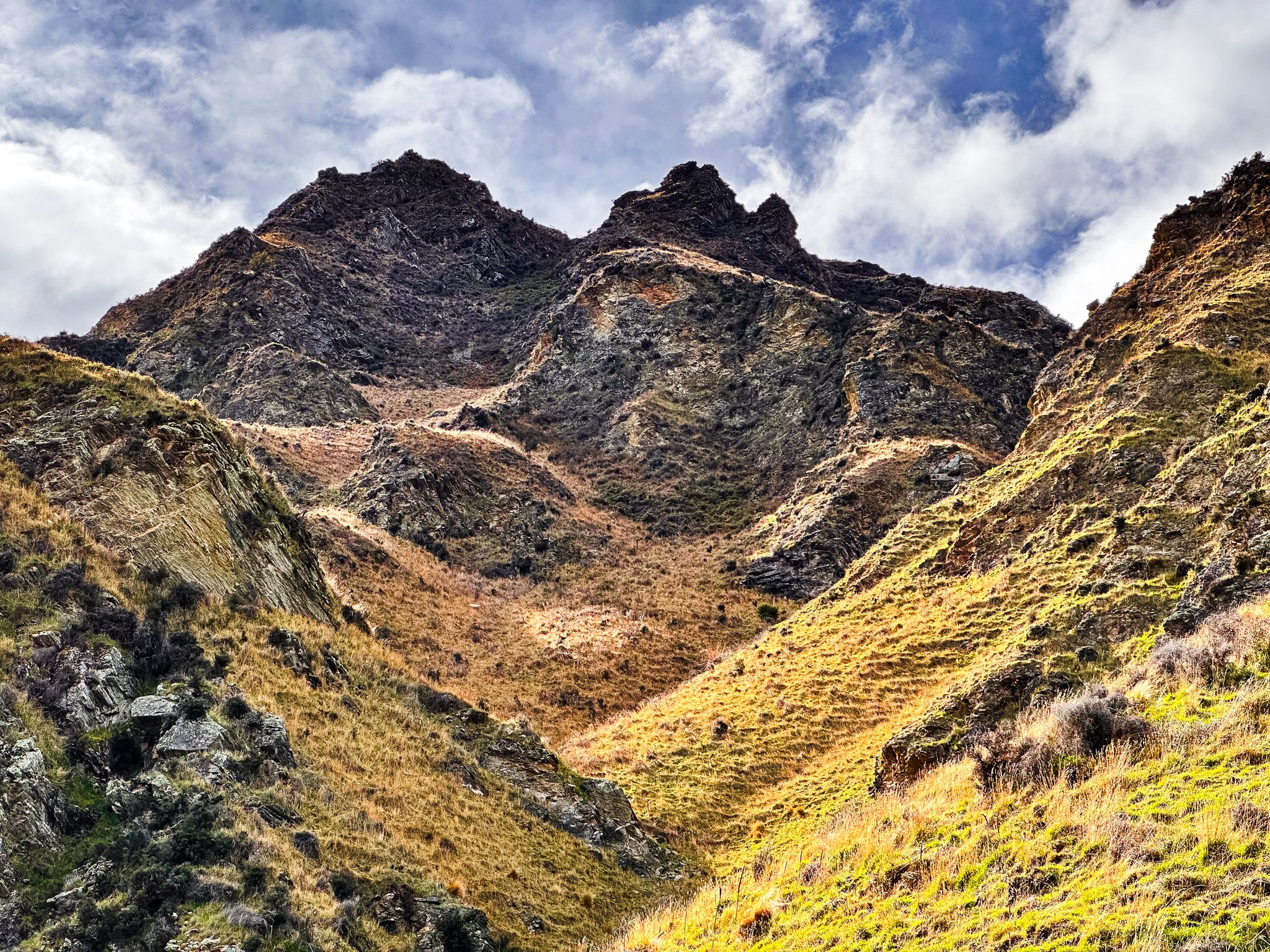
Timaru Creek Road runs north along the eastern side of Lake Hāwea from a small lakeside reserve at John Creek, at the end of Gladstone Road east of Lake Hāwea township. The lake is 35 kilometres long, deep blue, and set in a glacial valley carved during the last ice age. The road is an off-the-beaten-track alternative to the main highway on the west side: narrow, gravel-surfaced, with several small fords, largely unvisited and ultimately a dead end. Views are west across the lake to the lower peaks that separate Lake Wānaka from Lake Hāwea and northward towards the Young Range, with summits around 2,000 metres. The peaks to the east of the road are relatively low but spectacular.
John Creek and the Lake's History
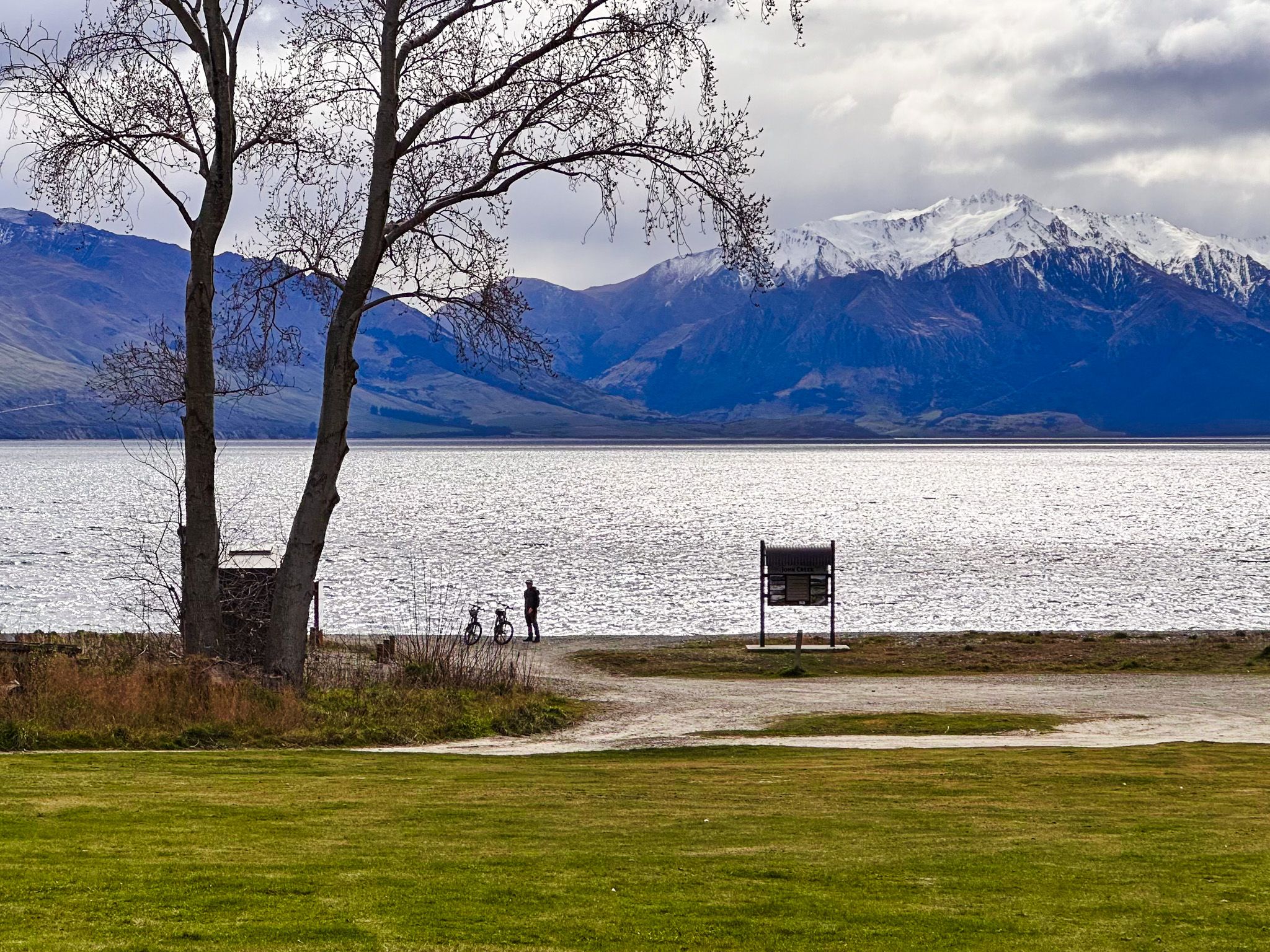
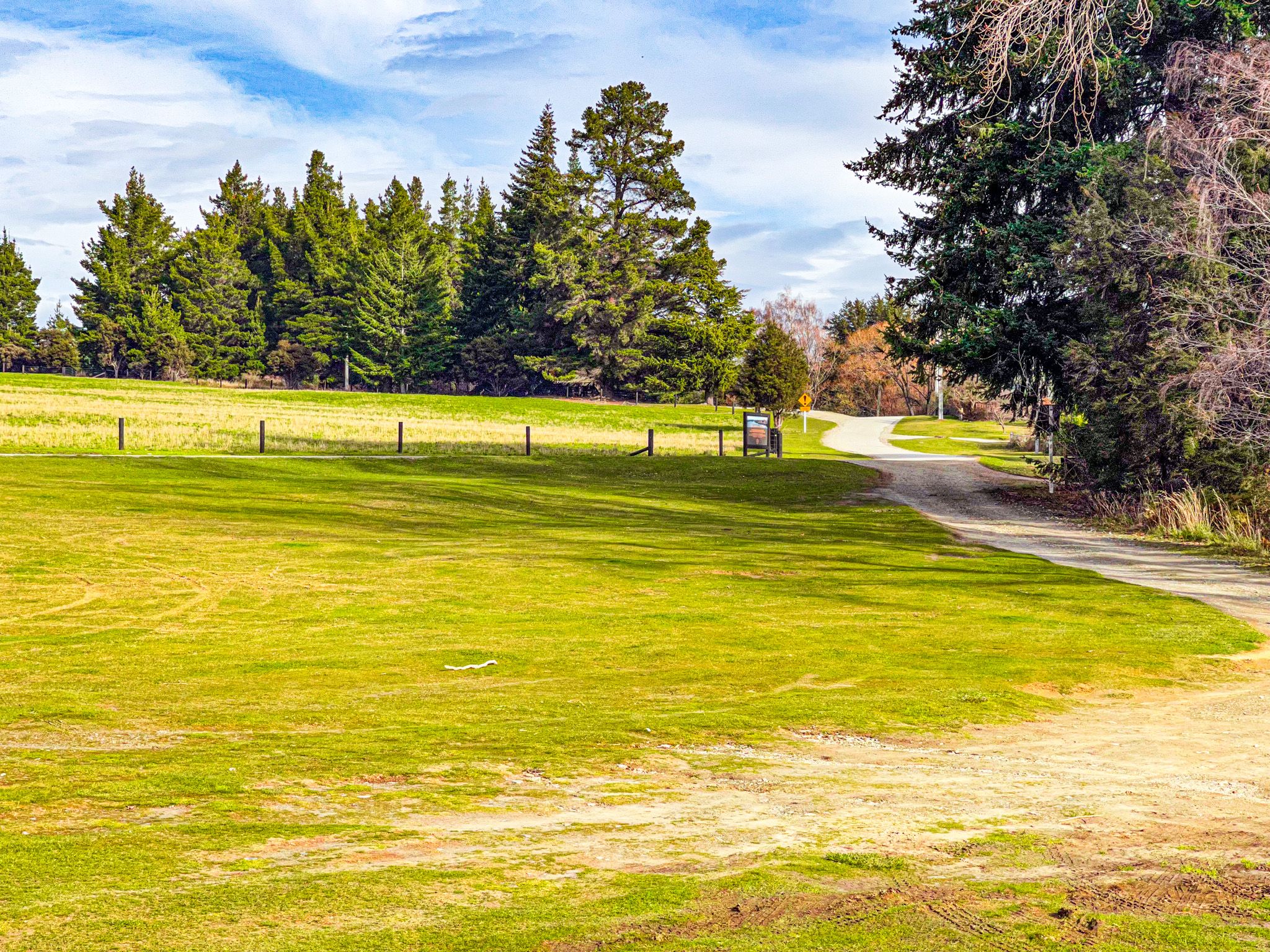
The John Creek picnic area, where Gladstone Road meets the lake edge, is a good place to start. There are public toilets here and a small beach, with Te Araroa passing through on its way north up the lake.
Lake Hāwea takes its name from Kāti Hāwea, one of the earliest peoples to occupy Te Waipounamu / the South Island, preceding Ngāti Māmoe and Ngāi Tahu. Ngāi Tahu used the lake seasonally as a mahinga kai (food-gathering place), with settlements at several points around the shore, including the important kāinga at Manuhaea near the Isthmus (all the Neck) between Lake Wānaka and Lake Hāwea.
That settlement, along with much of the good lowland around the lake, was lost when the lake level was artificially raised by around 20 metres in 1958 to supply water for hydroelectric generation at the Roxburgh Dam.
Te Araroa and a Gravel Beach
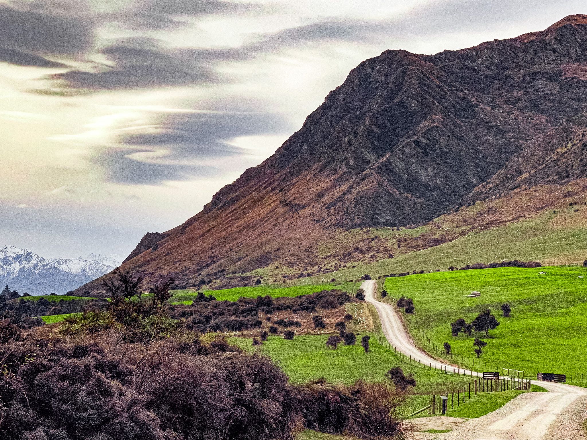
Heading north from John Creek, the road rises above the lake edge, with outstanding views. Take care, as there may also be Te Araroa walkers on this section. After a short distance, you will see the access to the Breast Hill Track / Te Araroa, which provides a challenging route to the tops, including the Grandview Ridge, Breast Hill, and Pakituhi Hut high above the lake.
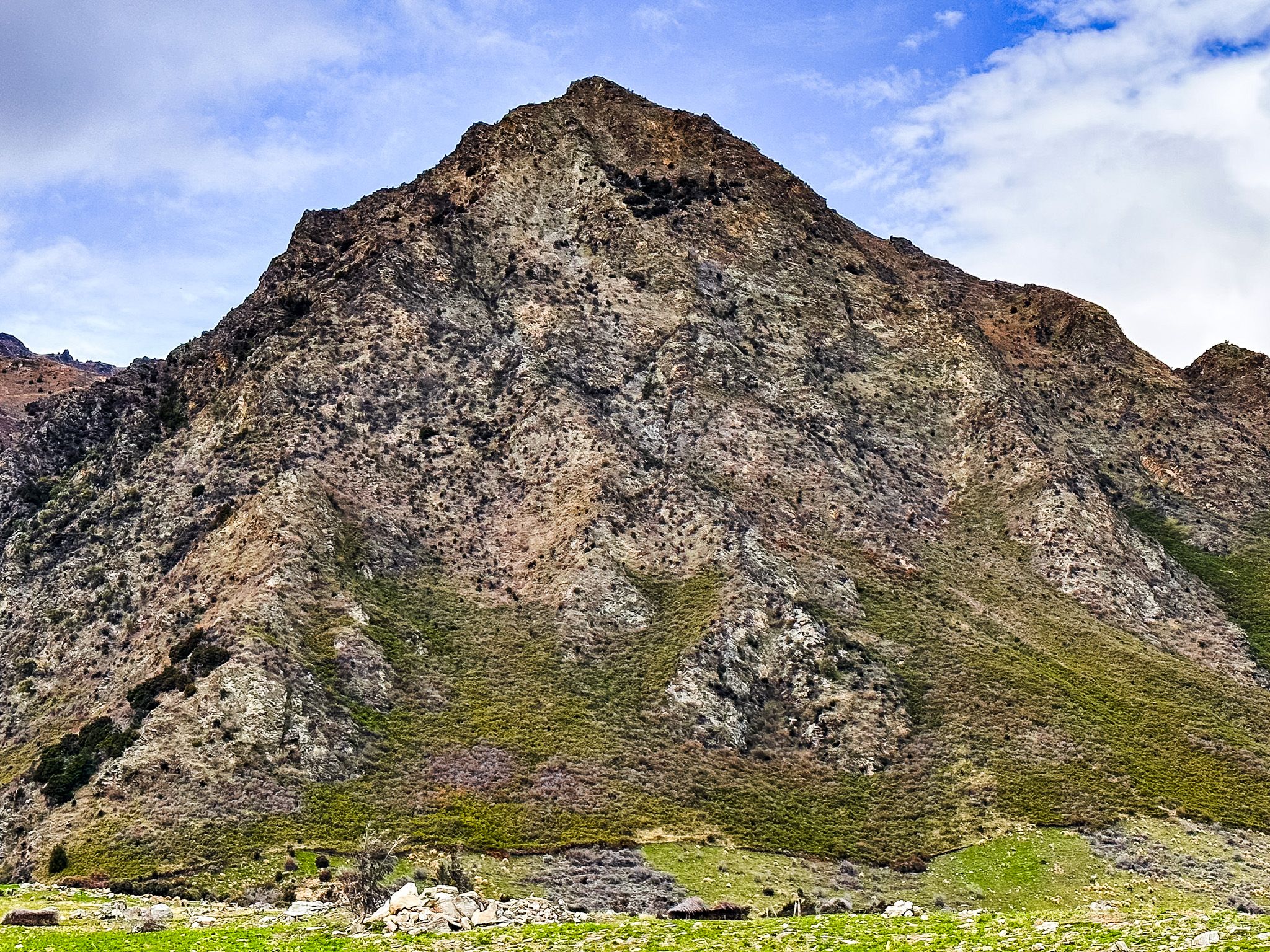
As the road climbs away from the lake edge and traces the hillside merino sheep country north, the views open out. The lake is to the west and west-northwest, with steep glacier-carved grassed slopes and rocky peaks to the east; a truly spectacular landscape largely overlooked by travellers. In early Spring, flowering kowhai trees are a standout feature between the road and the lake.
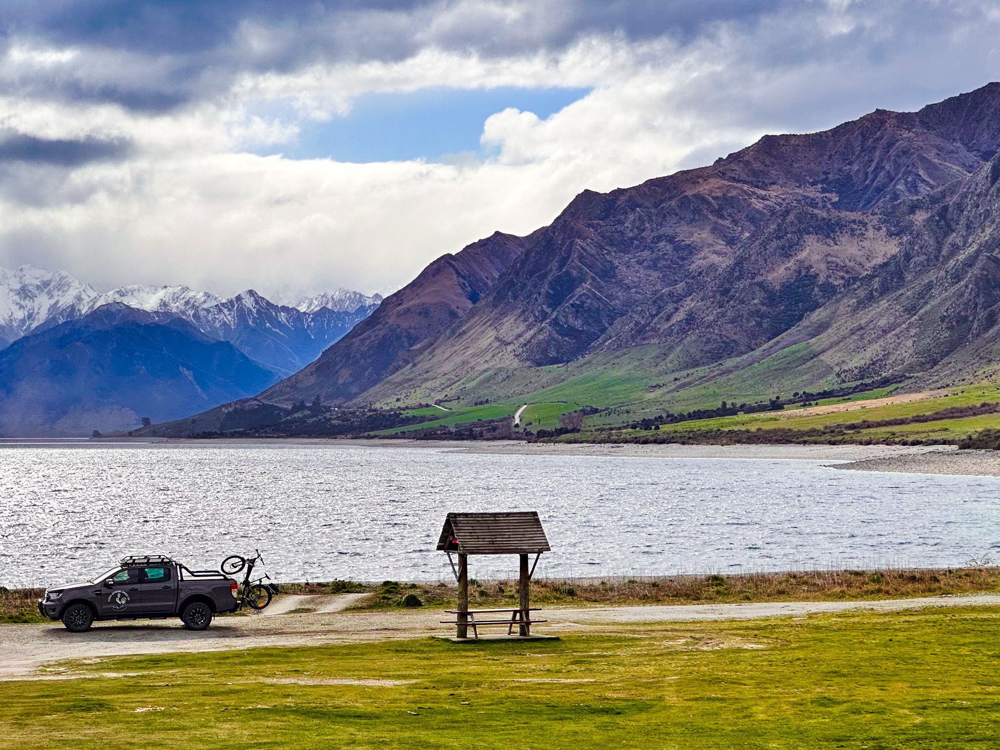
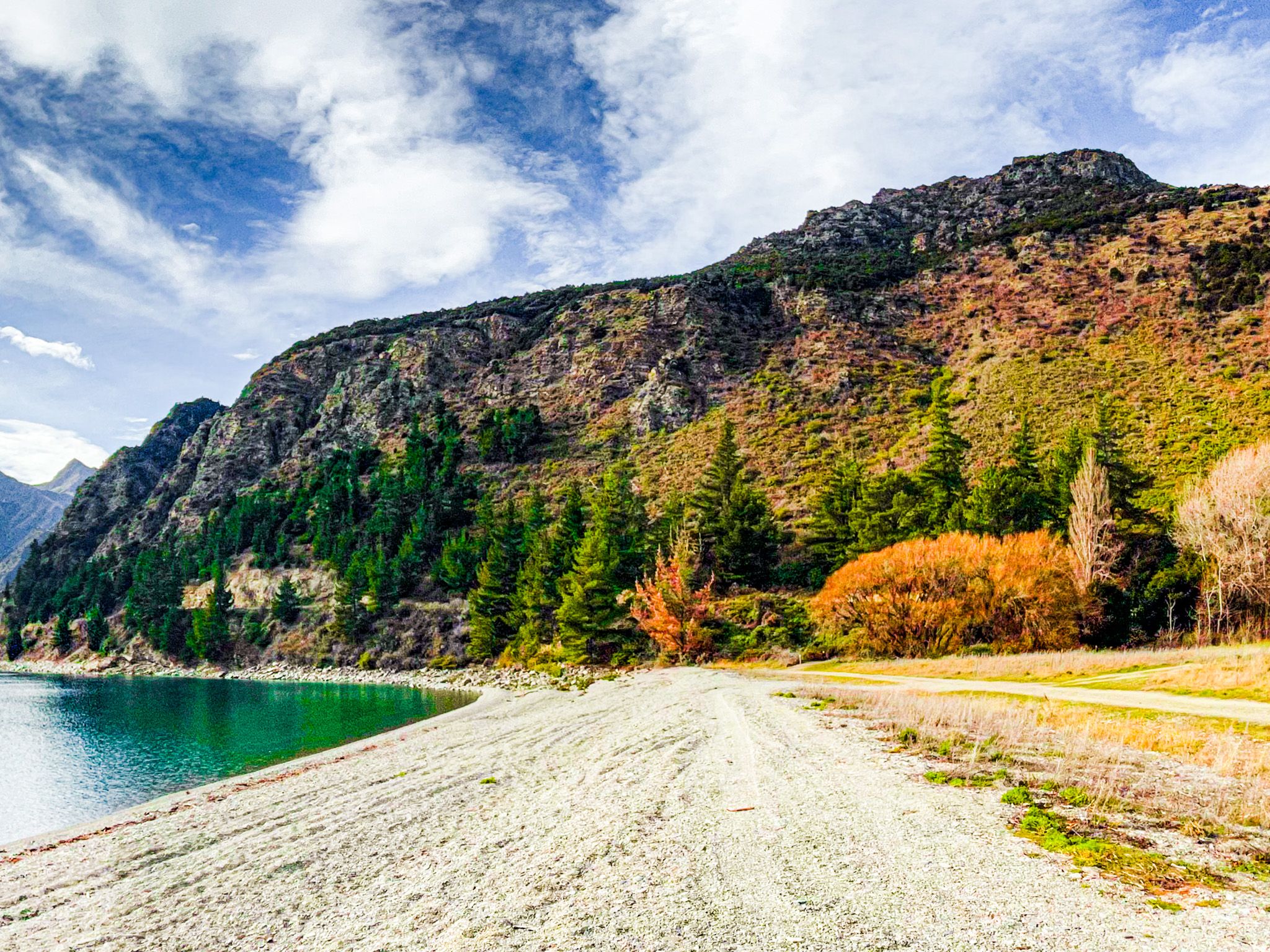
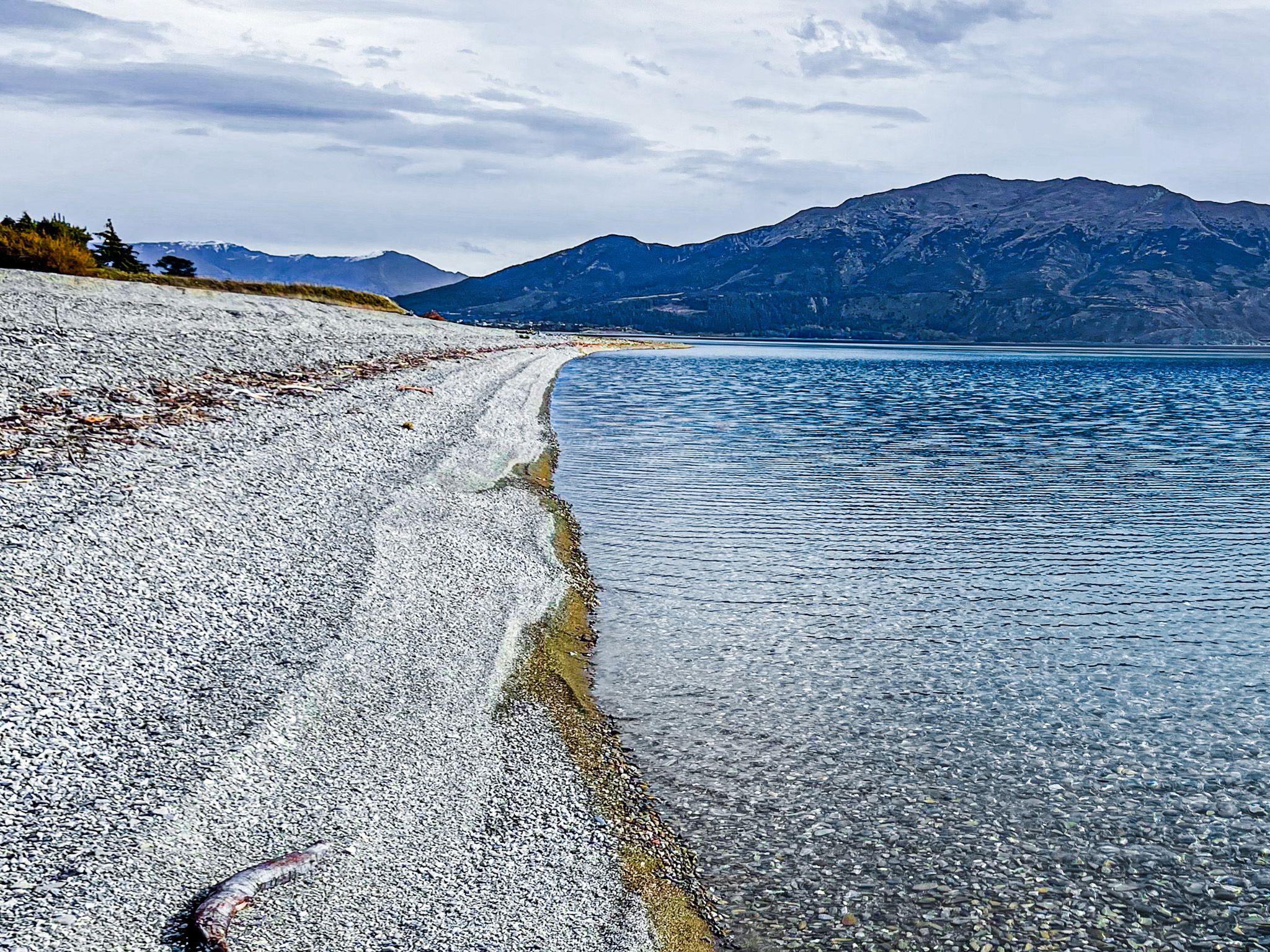
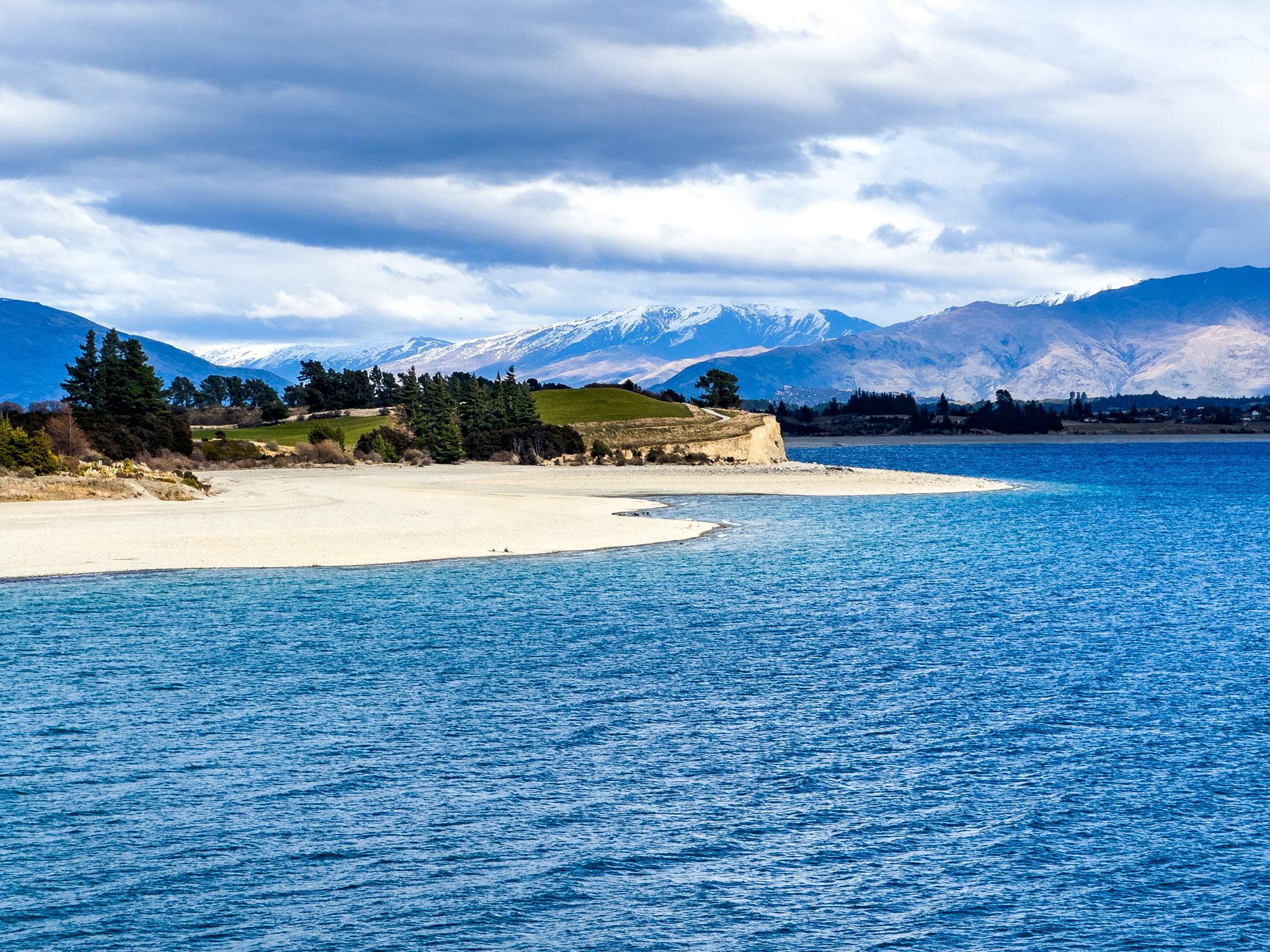
About halfway up the eastern shore towards Timaru Creek, there is easy access to a gravel beach reserve with a public toilet. There is no formal name, but there are a couple of houses and a long stretch of gravel beach. A large old willow shades the area, and it’s a nice place for a picnic and Summer swim.
Timaru Creek then Dingle Burn Station
Timaru Creek Reserve and access to the Lower Timaru River Track are the next stopping points. The river flows into the lake across a massive gravel expanse, with freedom coming, while the track heads deep into the Hāwea Conservation Park.
After this, the road becomes Dingle Burn Station Road and enters private high-country station land. Vehicle access along the road continues to a public car park around 16 kilometres from Lake Hāwea township, beyond which the road is for foot and cycle traffic only.
The Dingle Burn Peninsula Track begins at the final car park and follows the bluffs above the lake to the northeast arm of the lake, with views on clear days as far as Tititea / Mt Aspiring. From here, the multi-day Dingle Burn Track climbs the valley within the conservation park and crosses the 1,448-metre Dingle Burn Saddle into the Ahuriri Valley. Alternatively, you can continue up the northeast arm of the lake to the Hunter Valley, also within the park.
How to Get There
From Lake Hāwea township, head east along Cemetery Road and then turn northeast onto gravel Gladstone Road. The drive to the John Creek picnic area takes only a few minutes from town. Continue north for access to Timaru Creek Reserve and then the Dingle Burn Station car park.
Other places to explore around and near the lake include Lake Hāwea Track, Hāwea River Track, Grandview Mountain Track, the Hāwea Dam, the Isthmus Peak Track, Kidds Bush and the Sawyer Burn Track.