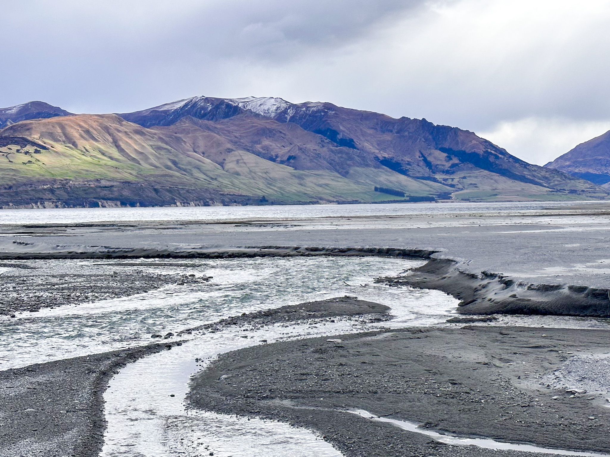
Where the Tīmaru River meets Lake Hāwea
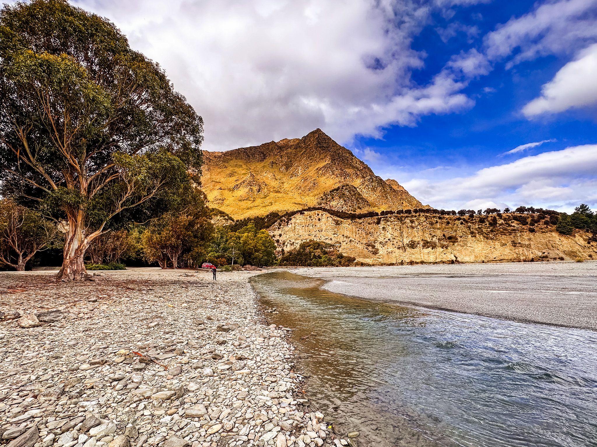
Timaru Creek Reserve sits at the mouth of the Tīmaru River, where it fans out across a wide gravel delta before entering the eastern shore of Lake Hāwea, around 10 kilometres northeast of Lake Hāwea township along Timaru Creek Road. It is a raw and spacious place, with big sky, open gravel flats, cold, clear water, and bush-covered slopes rising steeply on either side. For those driving the eastern shore road, it marks the point where the road crosses the river and the character of the country begins to change.
The Reserve
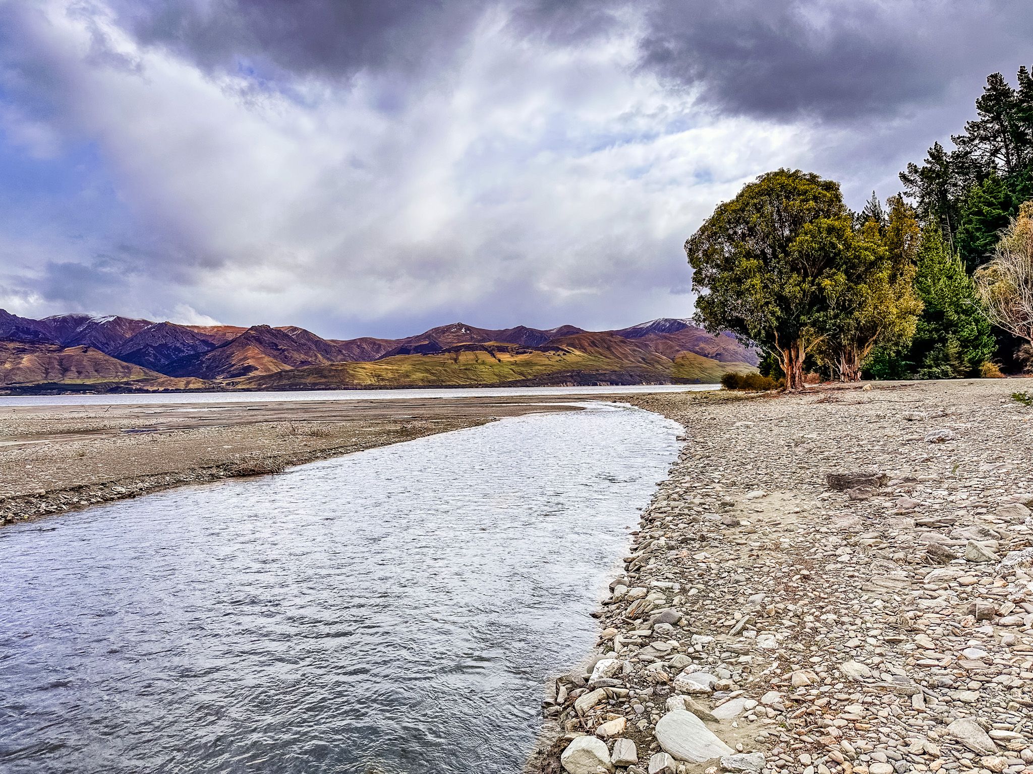
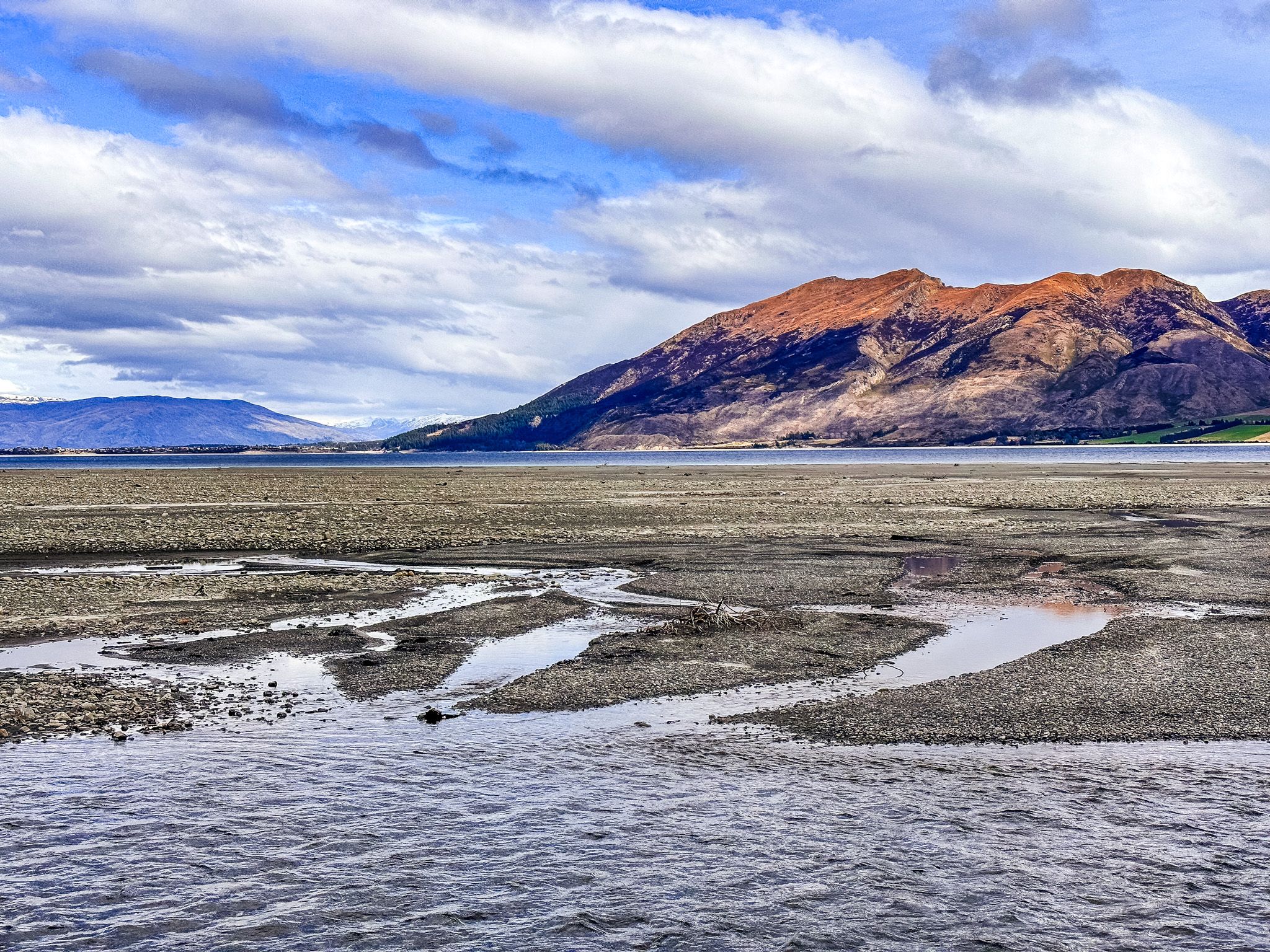
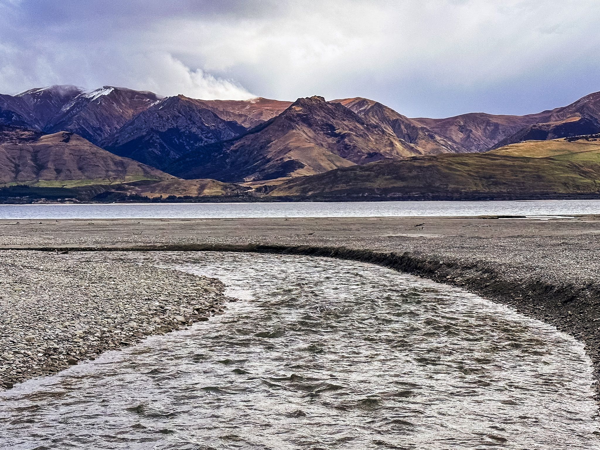
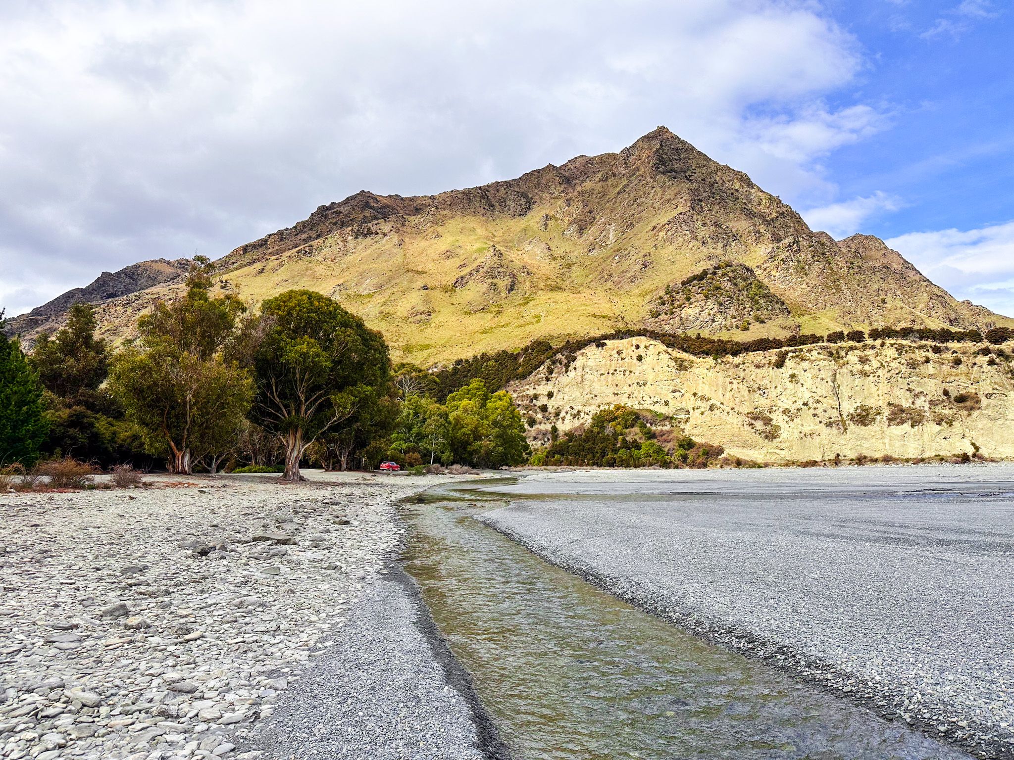
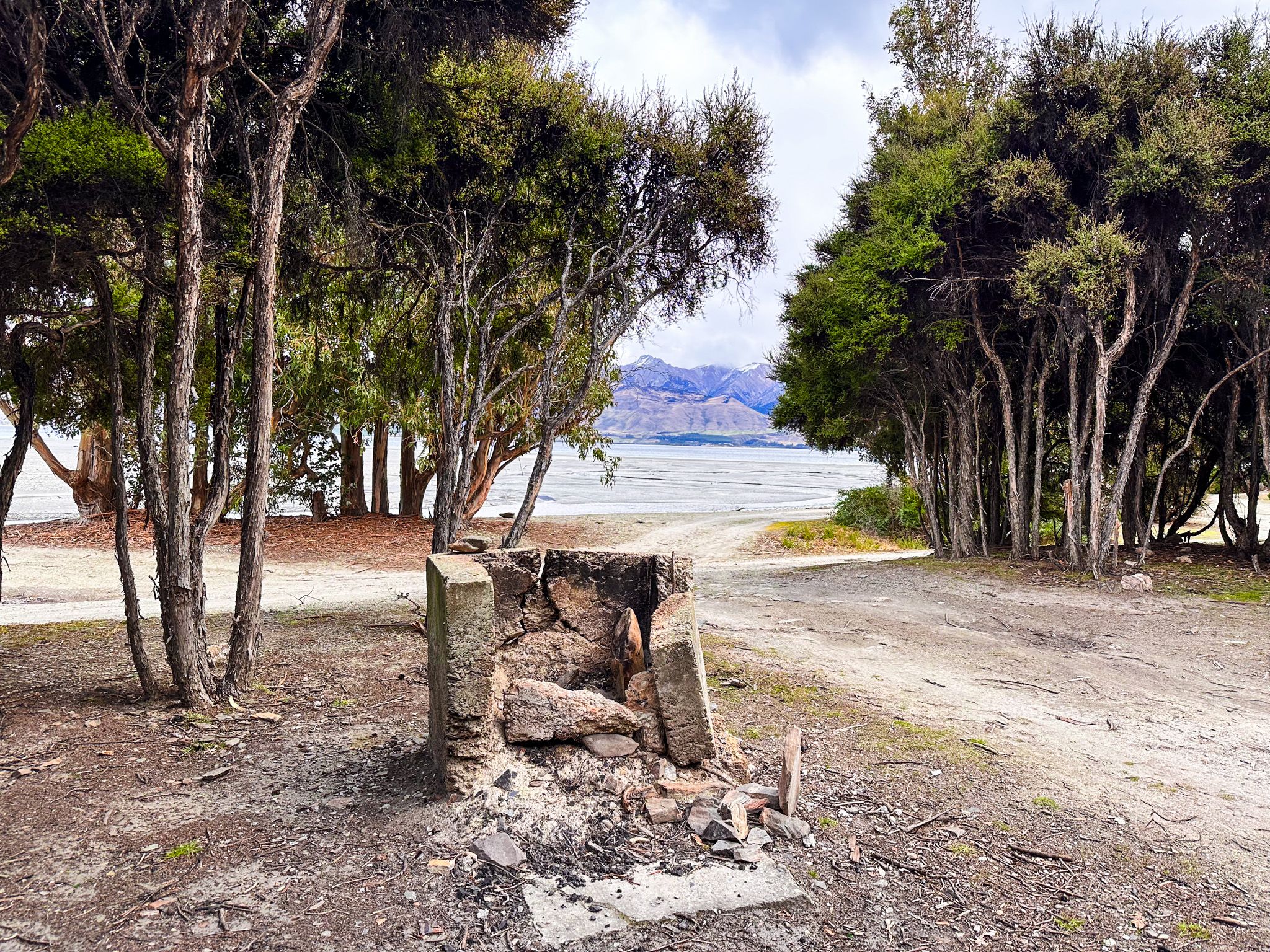
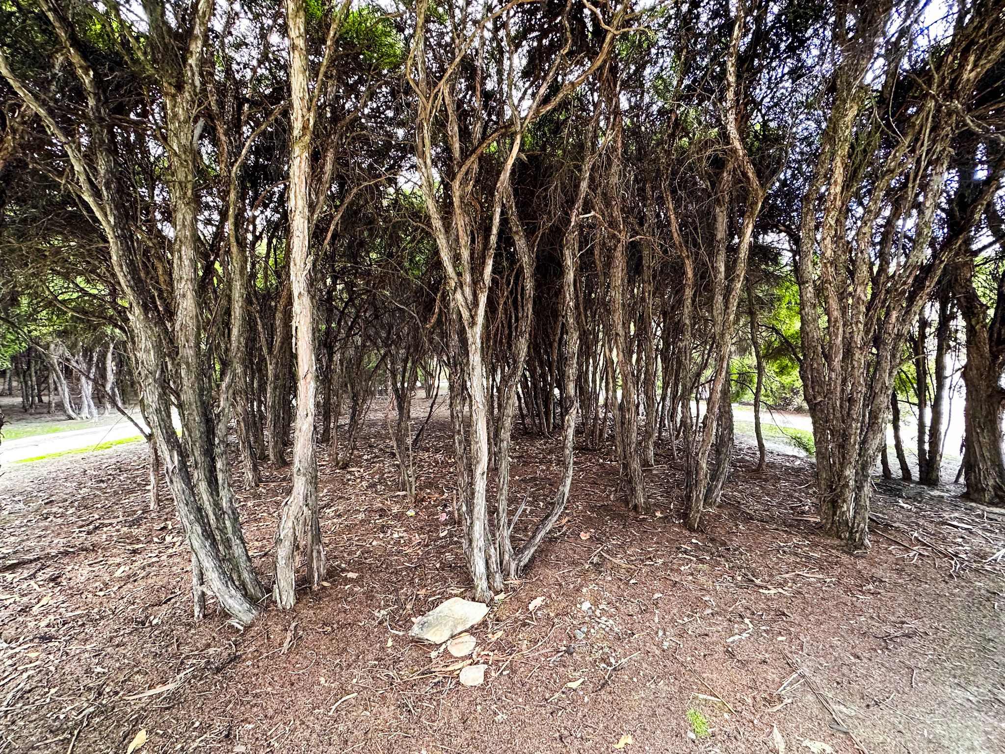
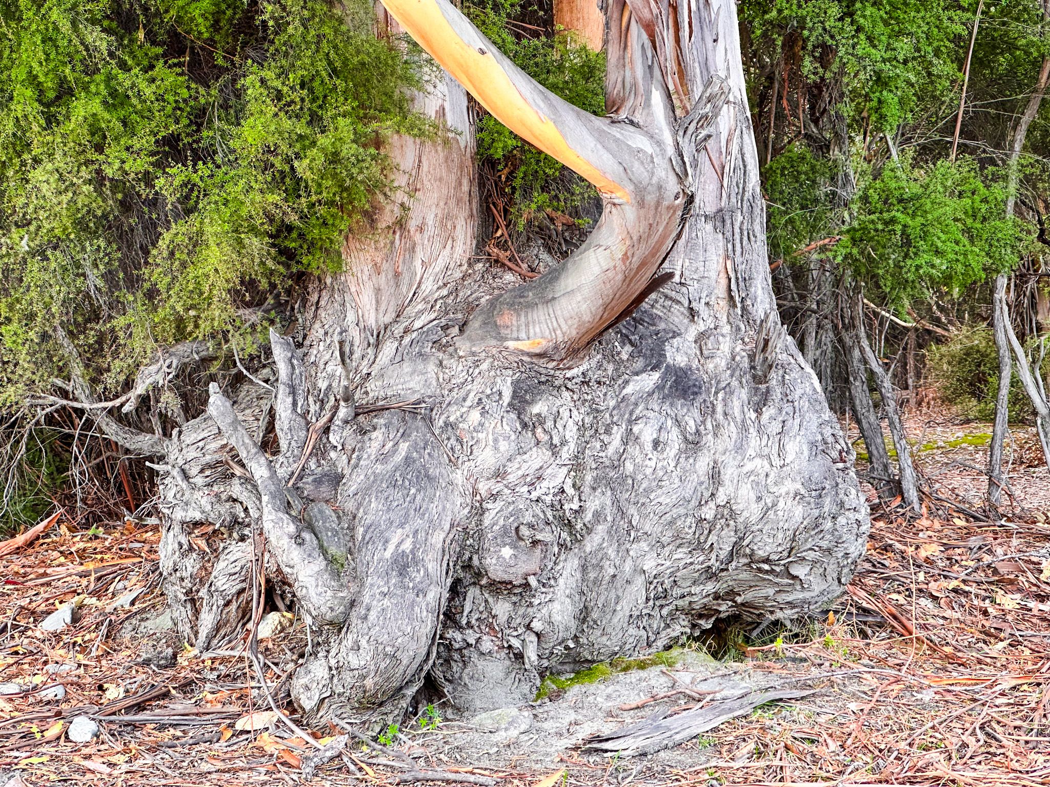
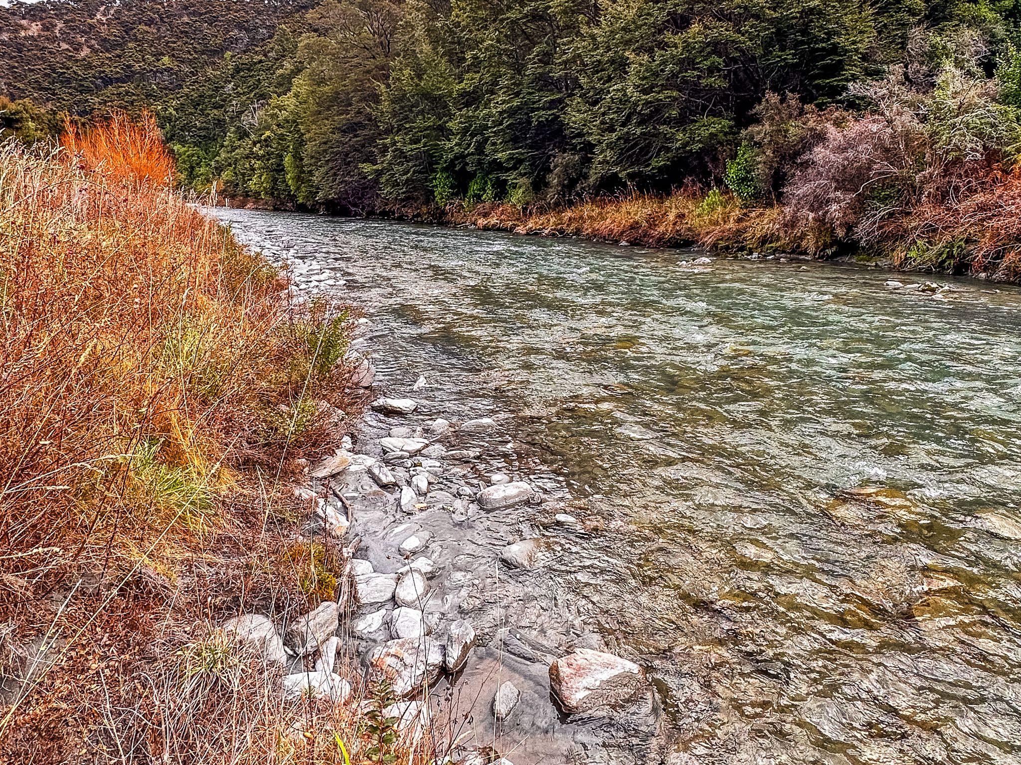
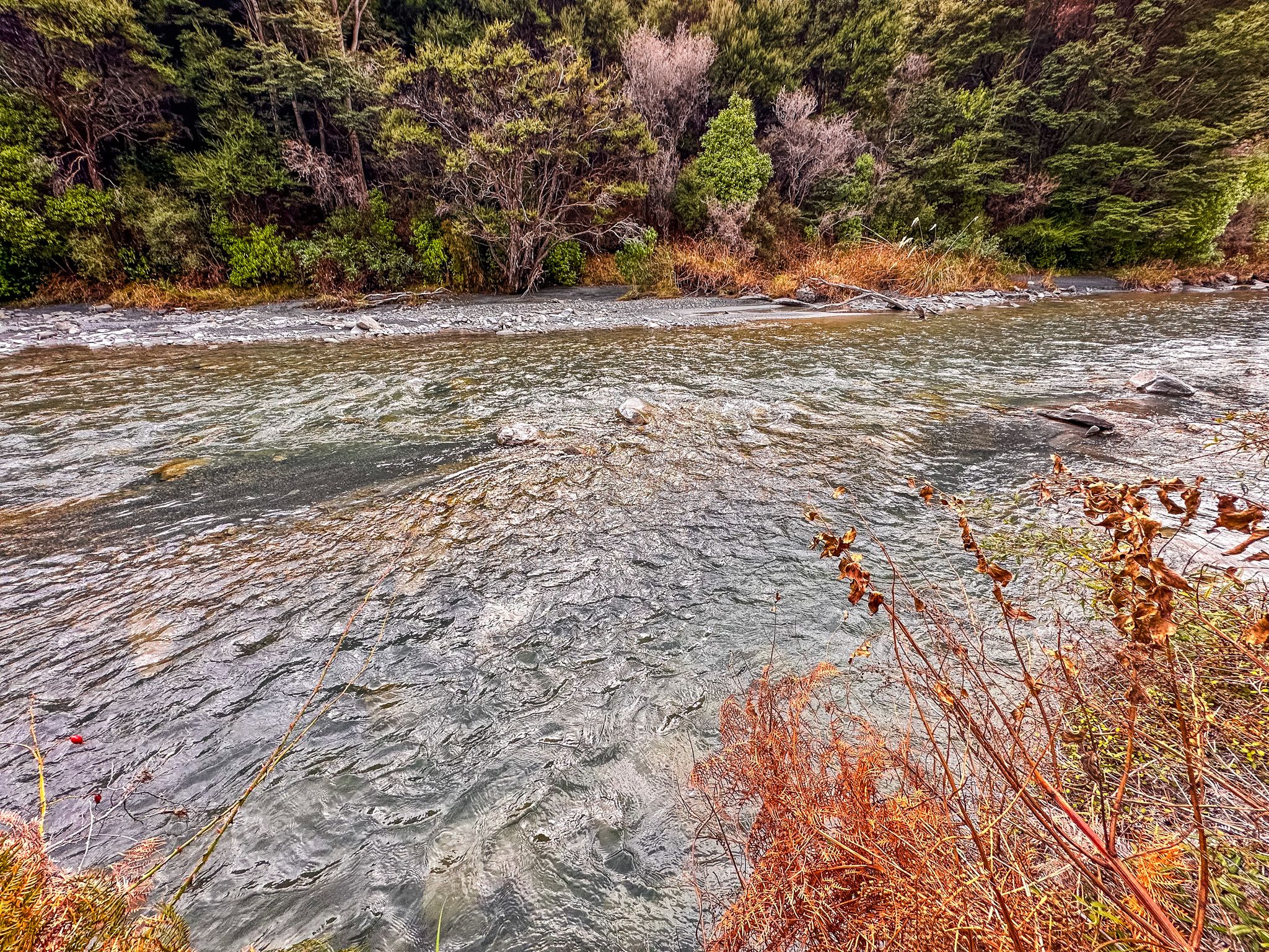
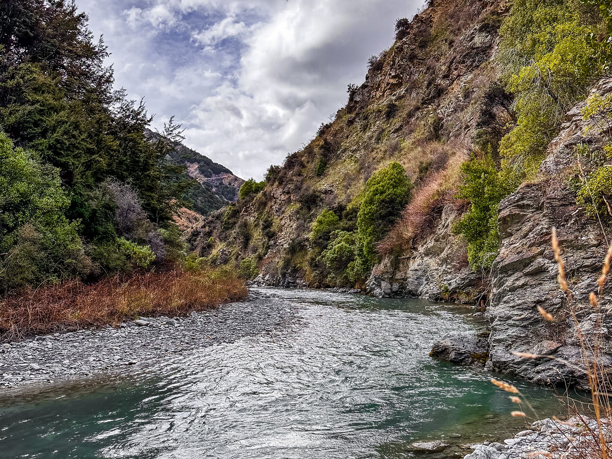
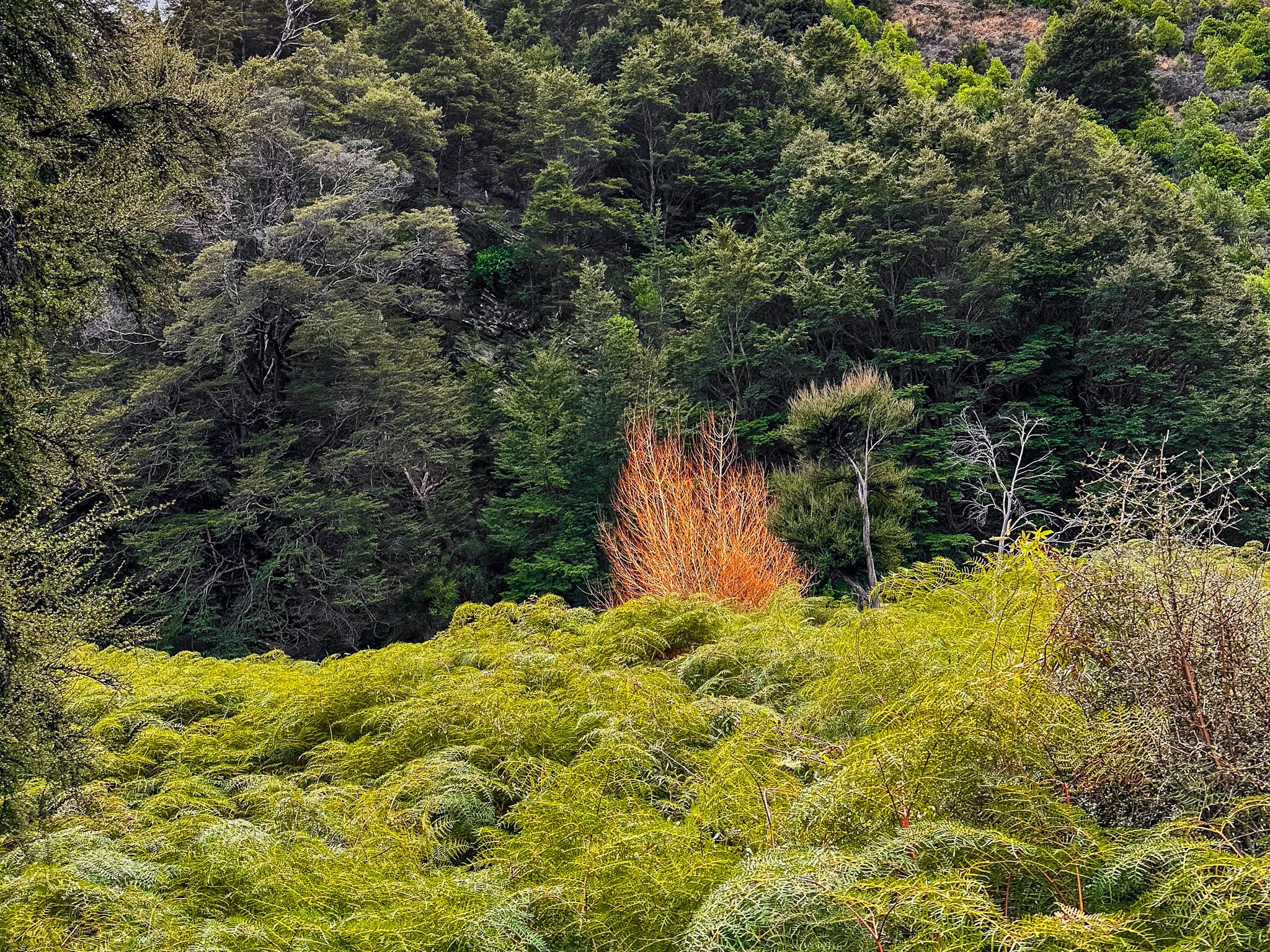
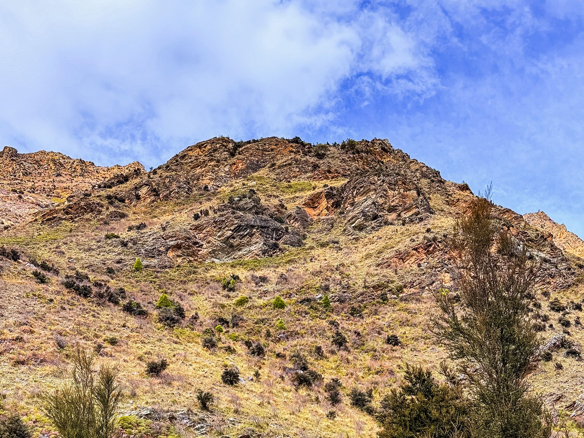
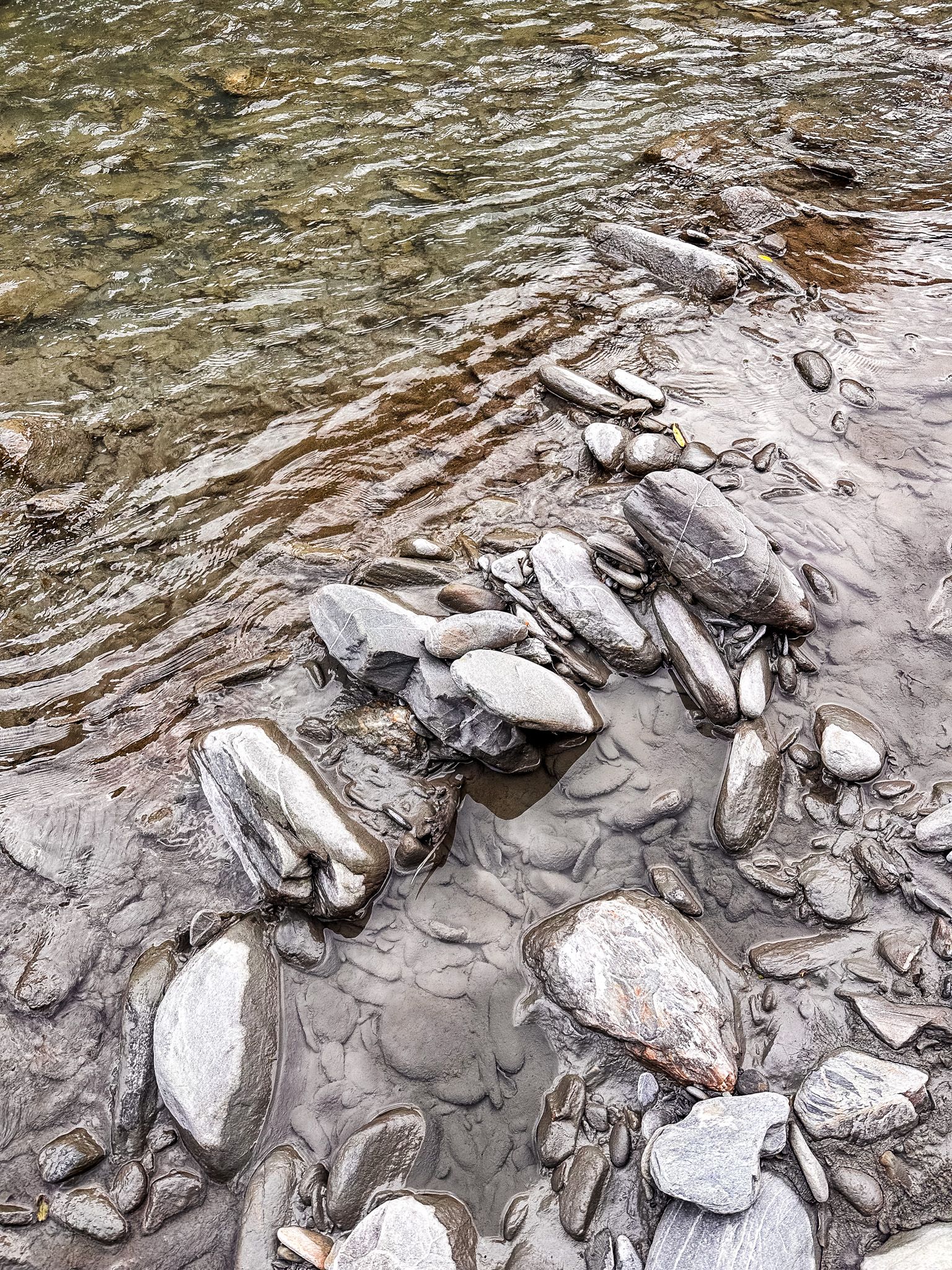
The reserve occupies the flat ground at the river mouth, where the Tīmaru River has deposited its gravel load over centuries, and the lake edge forms a long, open shore. The surrounding slopes carry regenerating native bush, mānuka and kānuka dominant on the lower ground, with mountain beech above, interspersed with a scattering of old eucalypts that predate the regrowth. Cliffs close in at the southern end of the reserve, and the hillside to the east is steep, sheltering the site despite its exposure to the lake.
The gravel flats themselves are broad with channels running to the lake. These can shift around during storms and river floods, making the location more dynamic than you expect at a glance.
Camping and Facilities
Timaru Creek Reserve has a designated freedom camping area for self-contained vehicles, with on-site pit toilets. The site is exceptionally quiet and well-suited to stargazing. Fire pits are present, and bring your own toilet paper. Fishing and swimming (it’s cold even in Summer) are options.


Ngāi Tahu Connection
The Tīmaru River mouth has long been significant to Ngāi Tahu as part of the broader mahinga kai network along Lake Hāwea's shores. A nohoanga (an exclusive camping entitlement from August to April) is also held by Te Rūnanga o Ngāi Tahu, allowing whānau exclusive seasonal access for camping on a one-hectare block in the reserve. This block is signposted and next to the public campsite, but not clearly delineated. There is a map in the link above that will help if you are unsure, but this tends to be a quiet place. There are 72 nohoanga around the South Island, and you can discover more here.
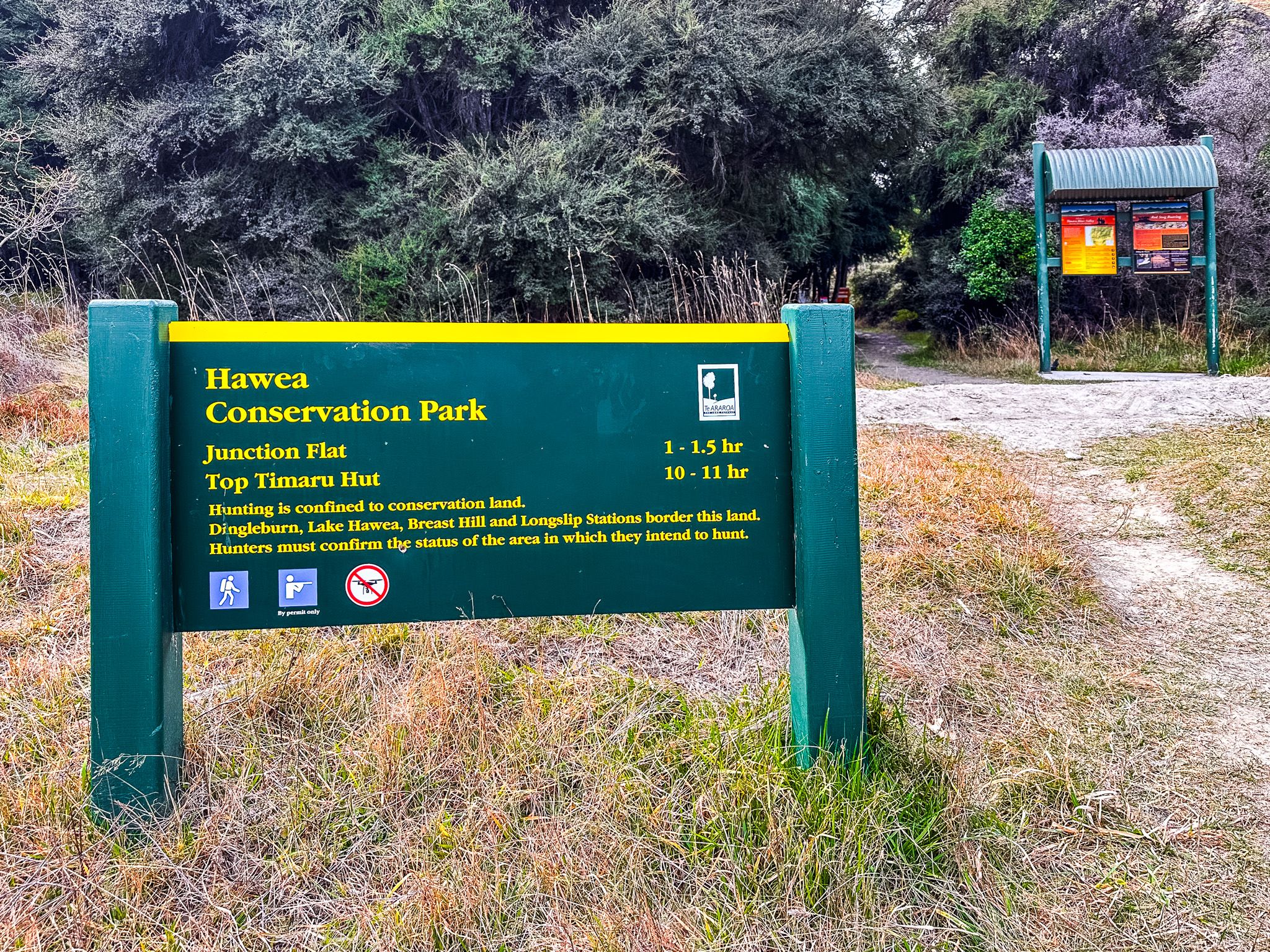
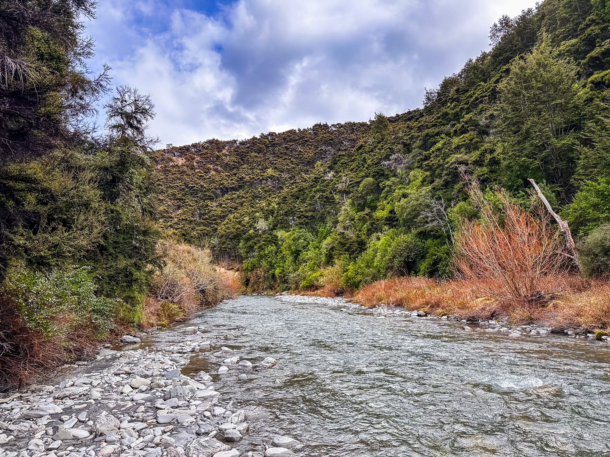
The Lower Tīmaru River Track
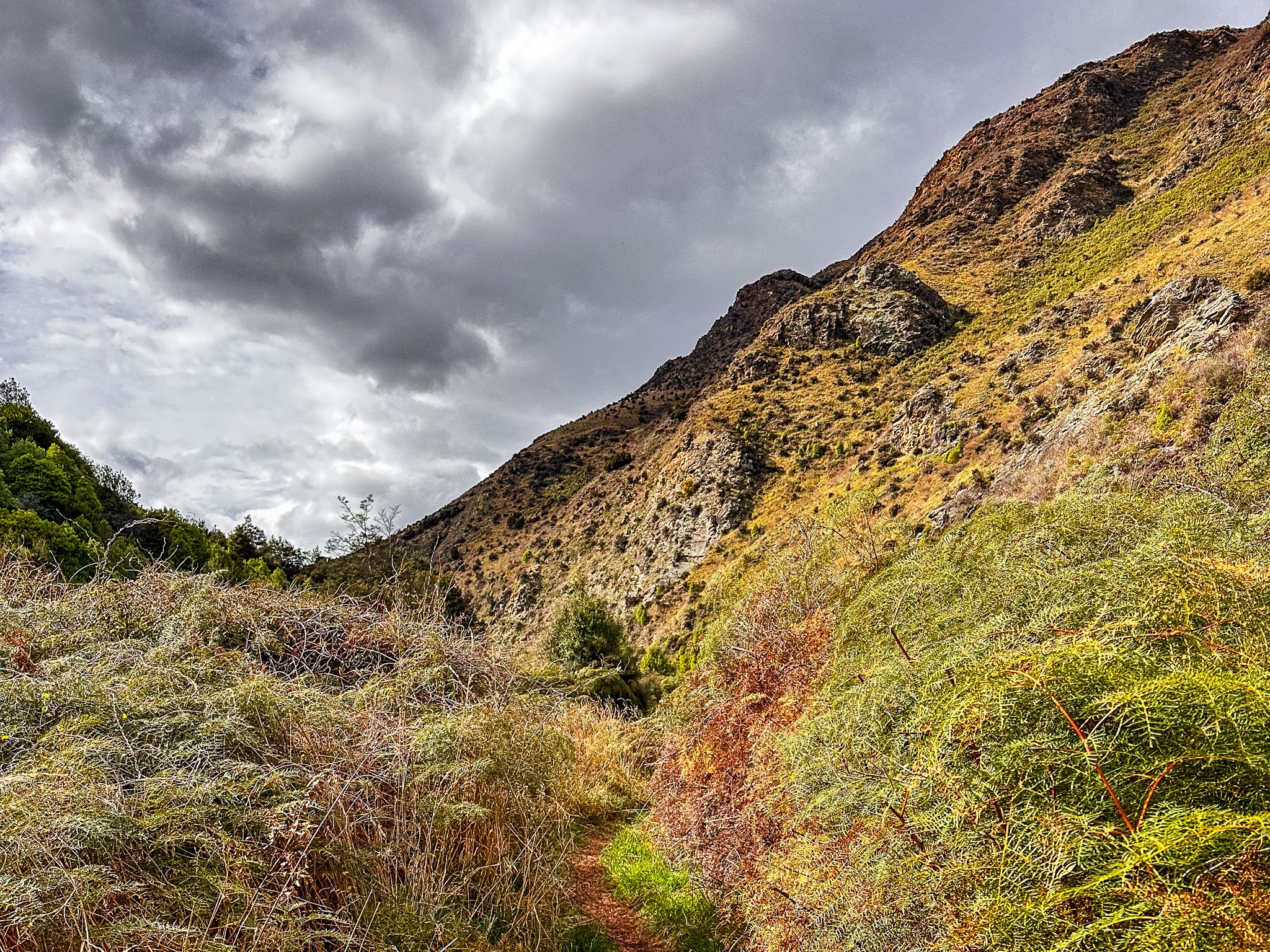
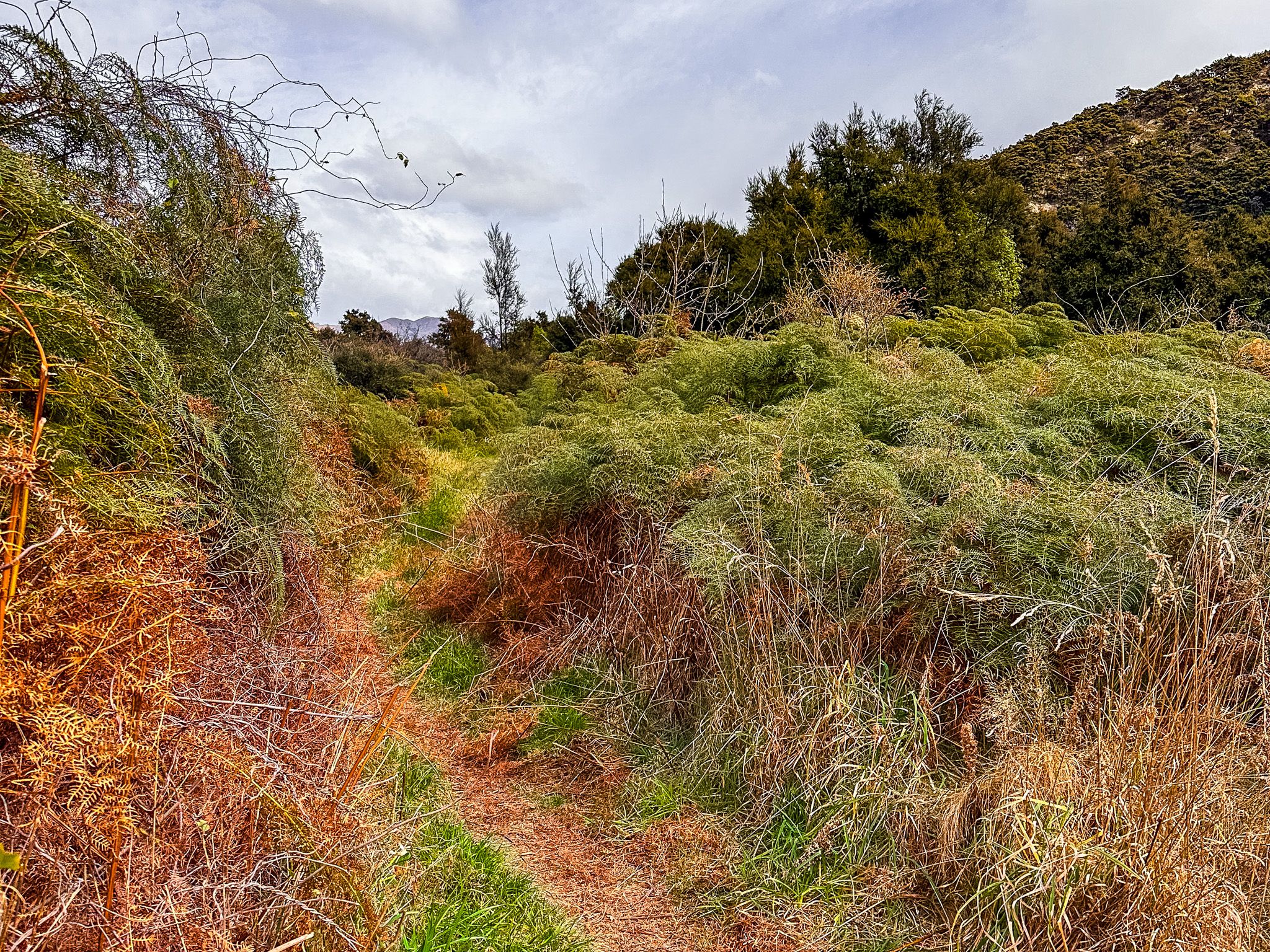
The Lower Tīmaru River Track trailhead sits just above the bridge over the river, a few minutes' walk up the access road from the reserve. The track heads upstream into the Hāwea Conservation Park, following the true left of the river through mānuka, kānuka, and beech before entering steeper, more remote country.
The track eventually reaches Junction Hut, a backcountry hut. The track crosses the river multiple times, so be aware of river conditions and risks. The track can also become impassable after heavy rain. The full loop back via the Breast Hill Track / Te Araroa is a multi-day tramp. For most visitors, a shorter walk upstream from the reserve to get a sense of the river valley is the more practical option, with a short walk to the first crossing.
How to Get There
From Lake Hāwea township, follow Cemetery Road east and then turn left onto Gladstone Road, which becomes Timaru Creek Road as it heads north along the lake edge. The reserve is approximately 10 kilometres from town, at the point where the road crosses the Tīmaru River bridge. The road is unsealed gravel, and 2WD vehicles can manage it in dry weather.
Other places to explore around and near the lake include Lake Hāwea Track, Hāwea River Track, Grandview Mountain Track, the Hāwea Dam, the Isthmus Peak Track, Kidds Bush and the Sawyer Burn Track.