Lake Hāwea: A Quiet Southern Gem
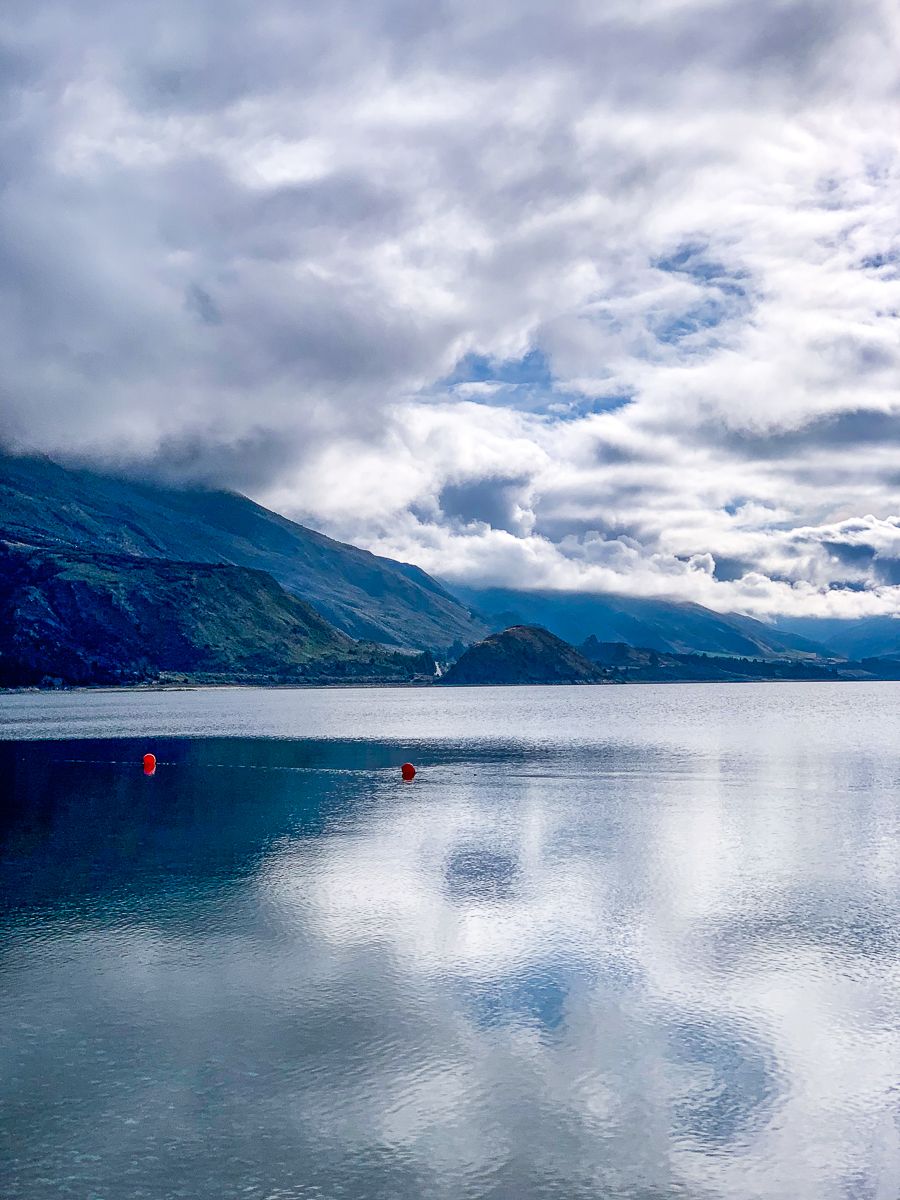
Lake Hāwea is a deep glacial lake in the Southern Lakes district of Central Otago, around 15 minutes’ drive northeast of Wānaka along State Highway 6. Smaller and quieter than its better-known neighbour, Lake Hāwea draws travellers with its stillness, sparkling clarity, and uninterrupted alpine views. The township of Hāwea sits at the lake’s southern end, a peaceful base for walkers, campers, and road-trippers heading towards Makarora and the West Coast.
High Country Shores Framed by Peaks
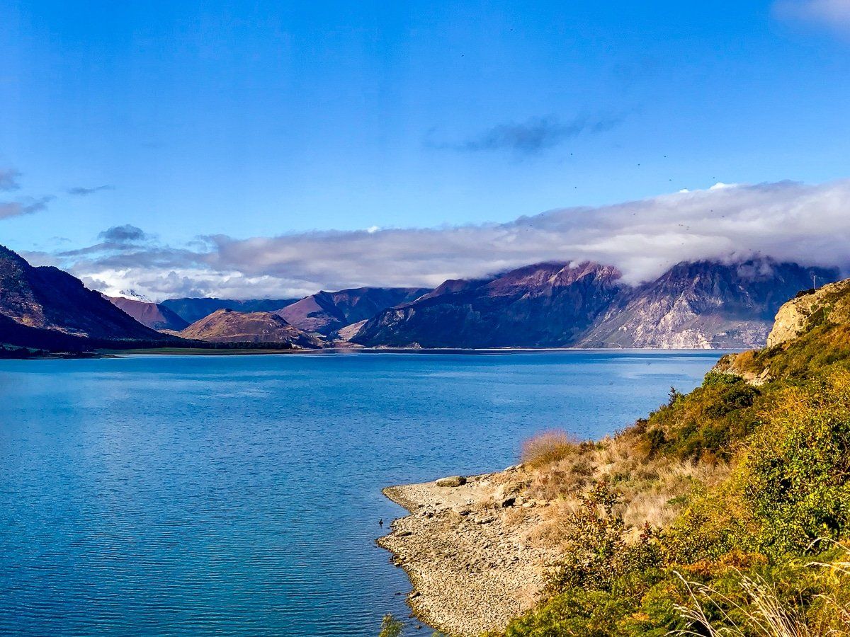
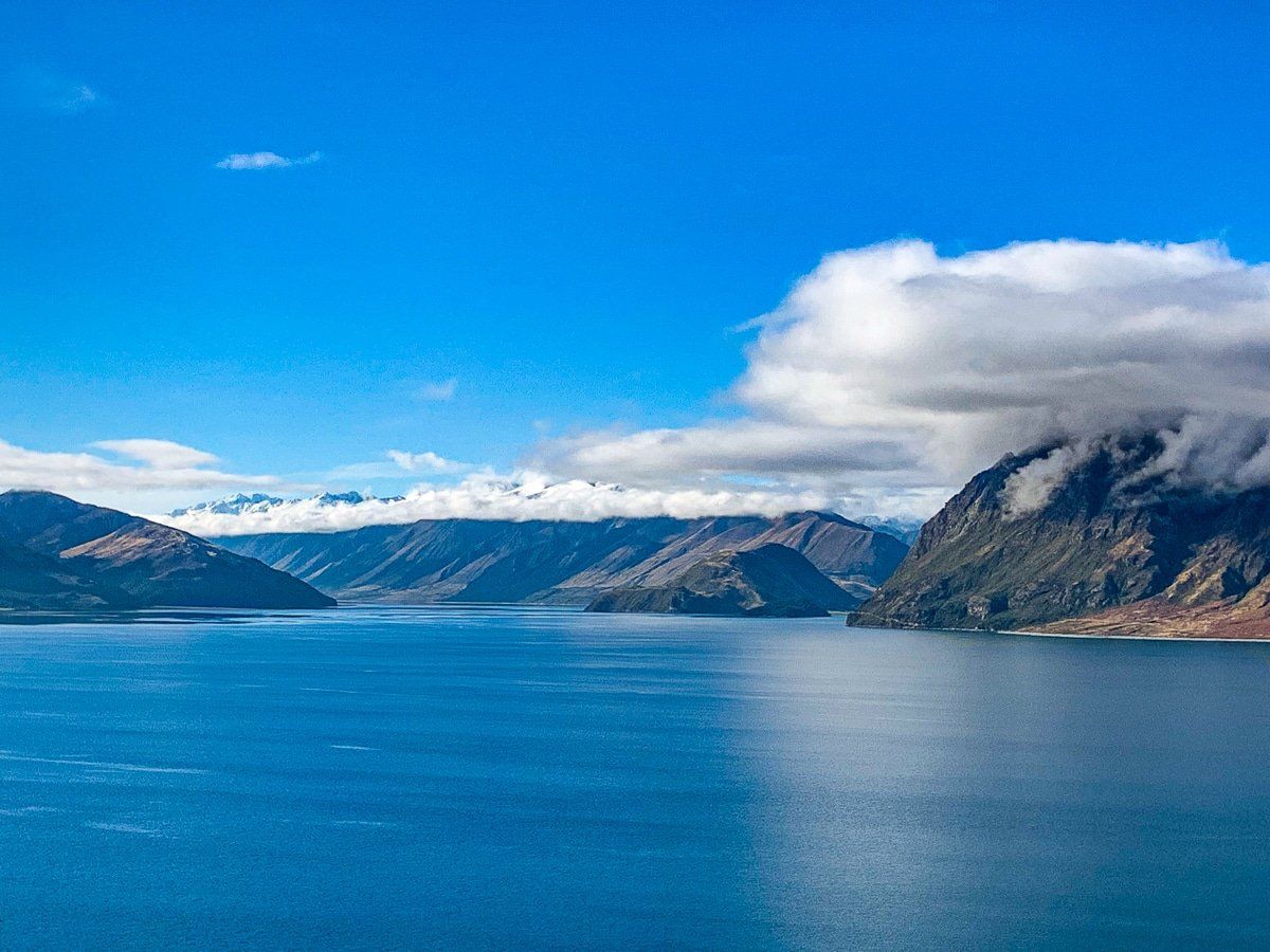
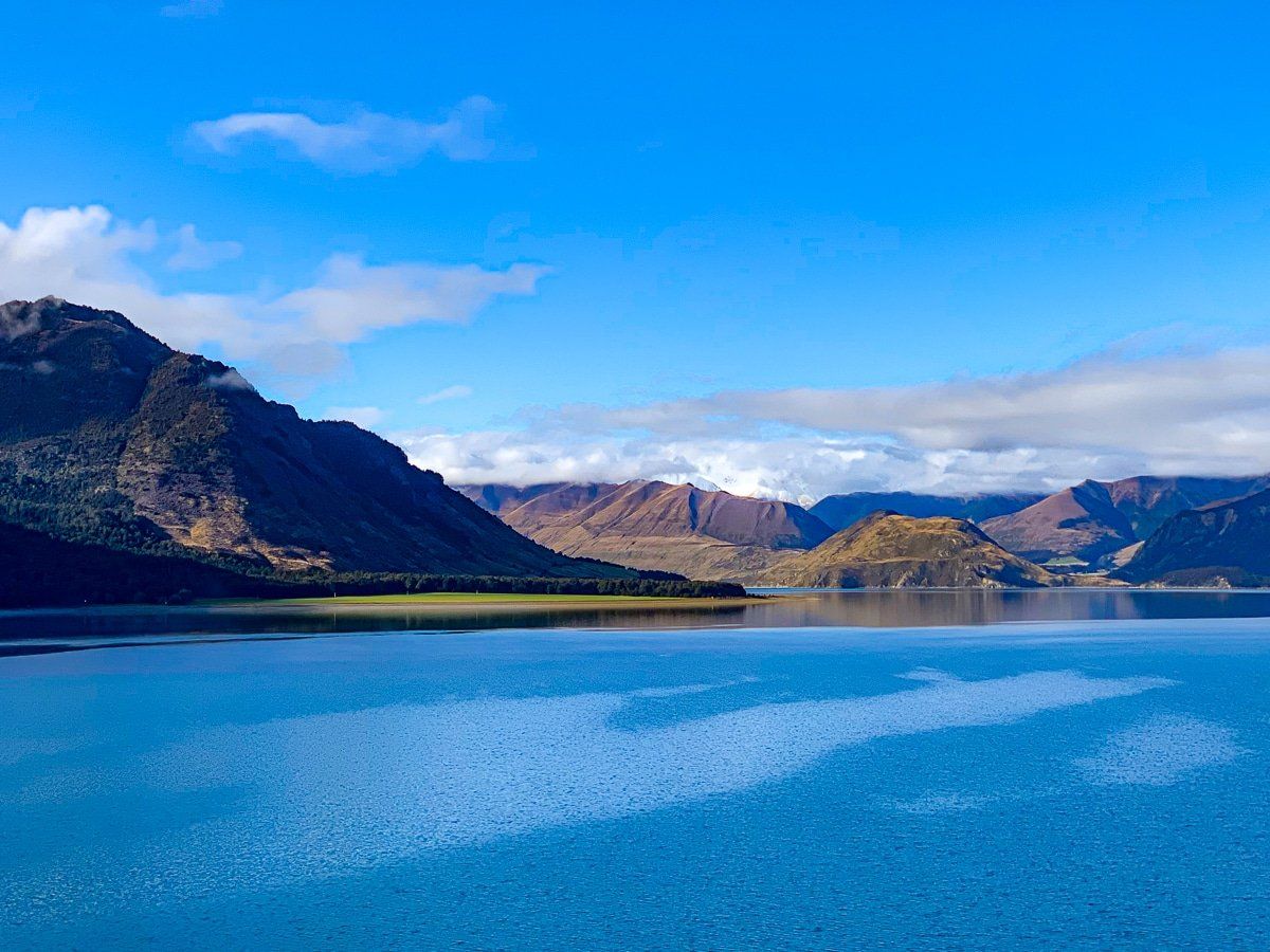
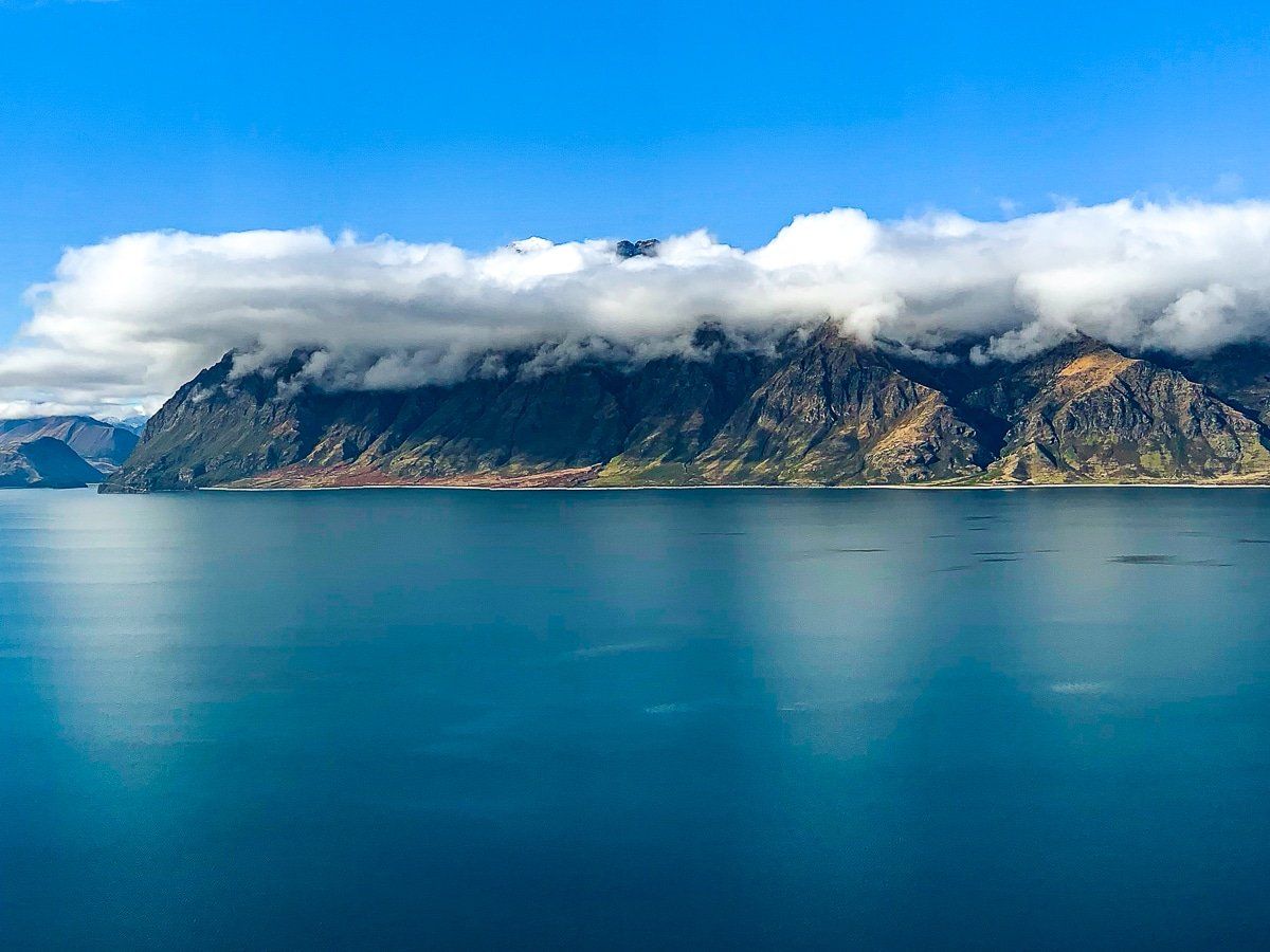
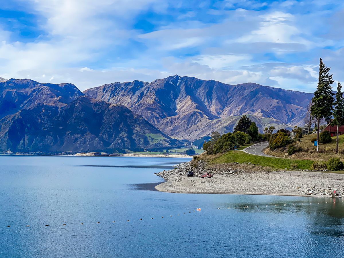
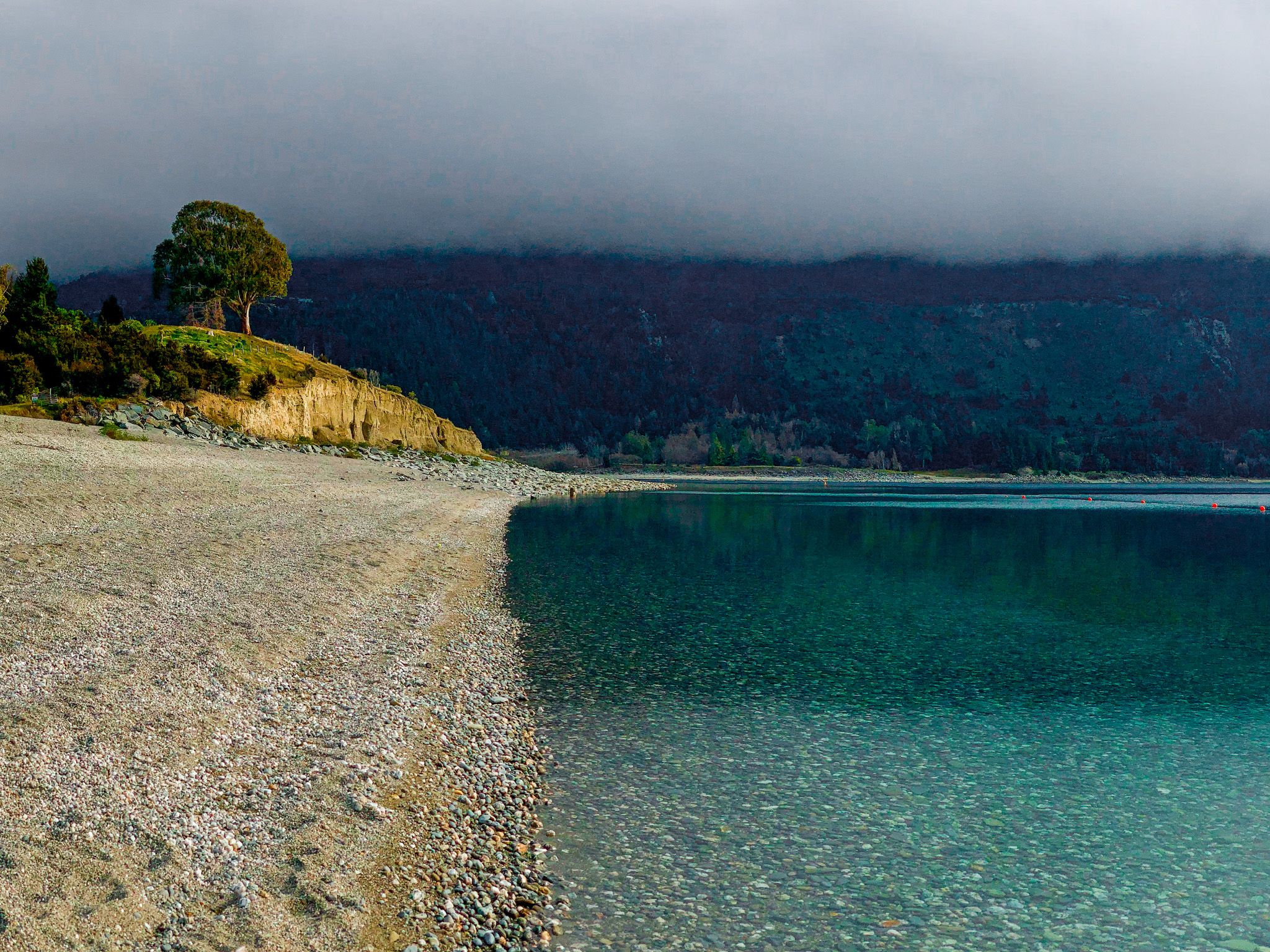
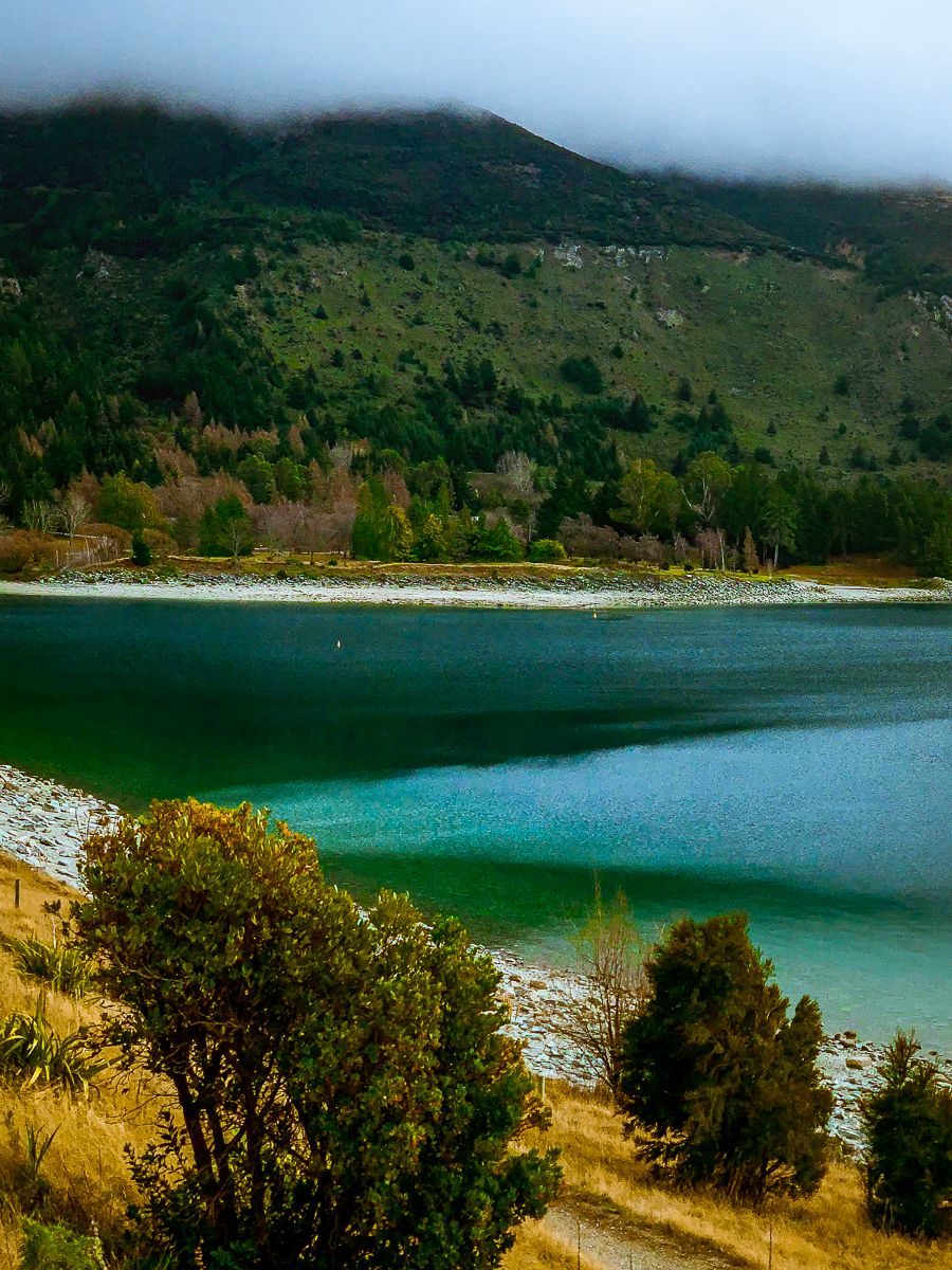
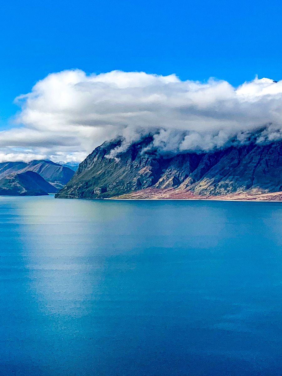
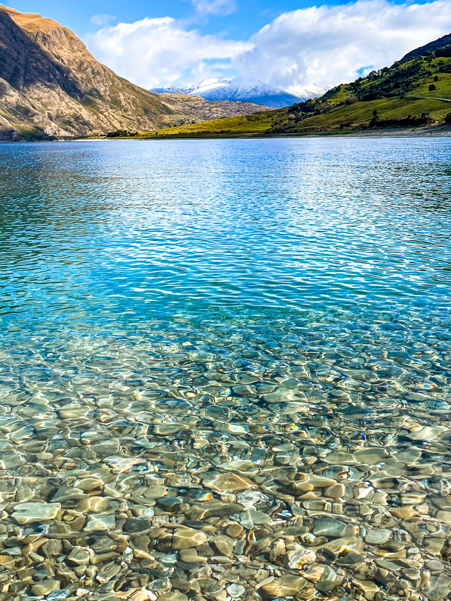
Lake Hāwea stretches around 35 km from south to north, cupped between rugged ranges. The water is exceptionally deep, over 390 metres, and bordered by steep, scree-covered slopes that reflect the changing light throughout the day. At the lake’s head, the braided Hunter River feeds into the northern bays, while the outlet at the southern end has a small dam for hydroelectric control.
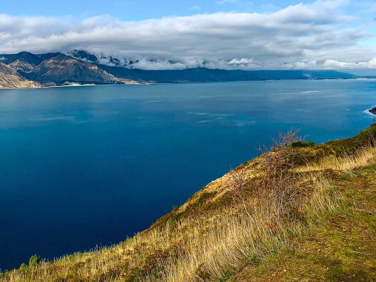
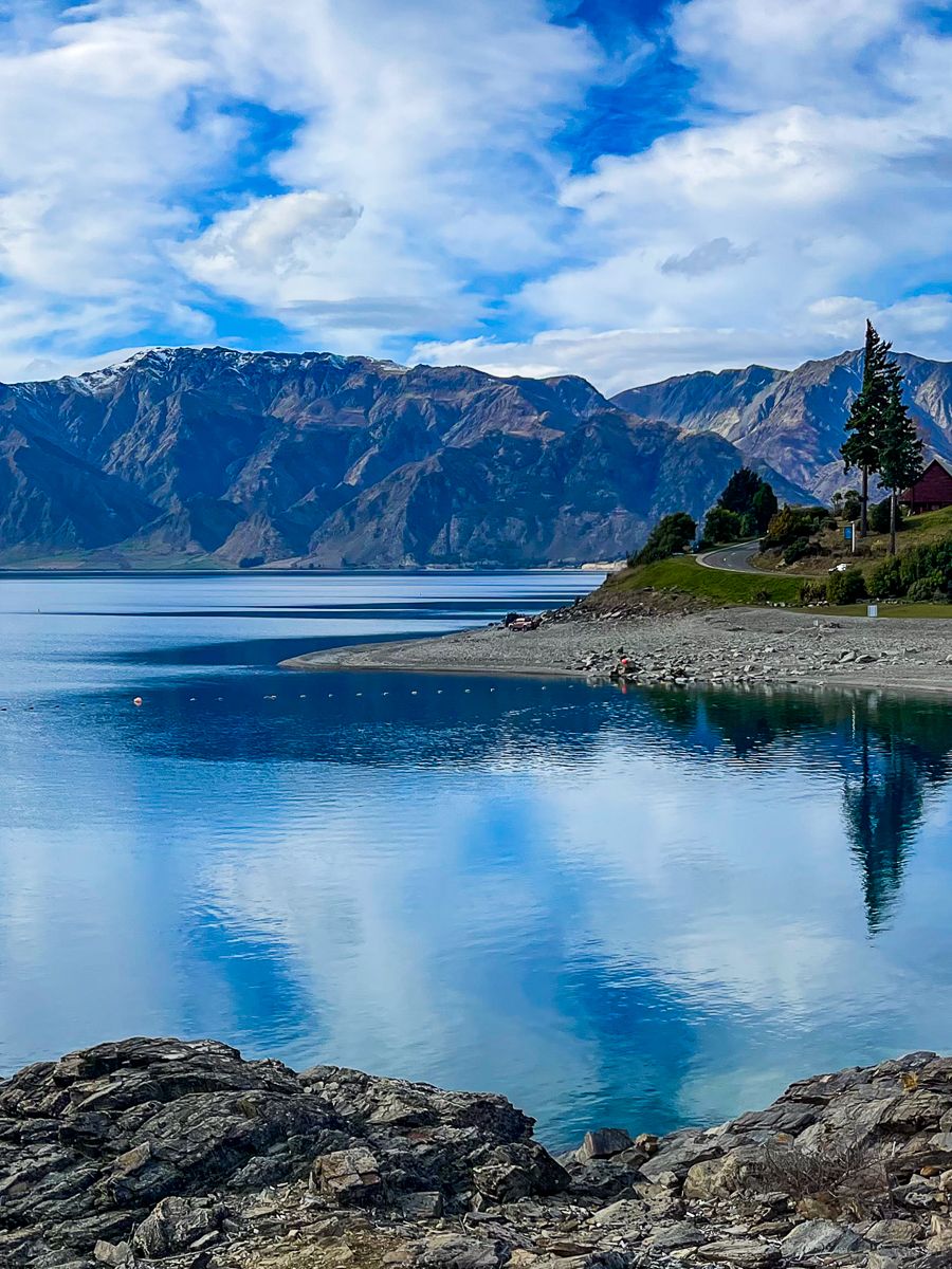
A highlight for many is the Lake Hāwea Lookout, roughly halfway up the western side along SH6. This scenic stop provides safe parking and panoramic views across to Corner Peak and up the lake’s long, curving reach. Looking south, the skyline is defined by Breast Hill, a prominent summit on the Te Araroa trail, Breast Peak and Grandview Mountain.
From River Flats to Alpine Tops
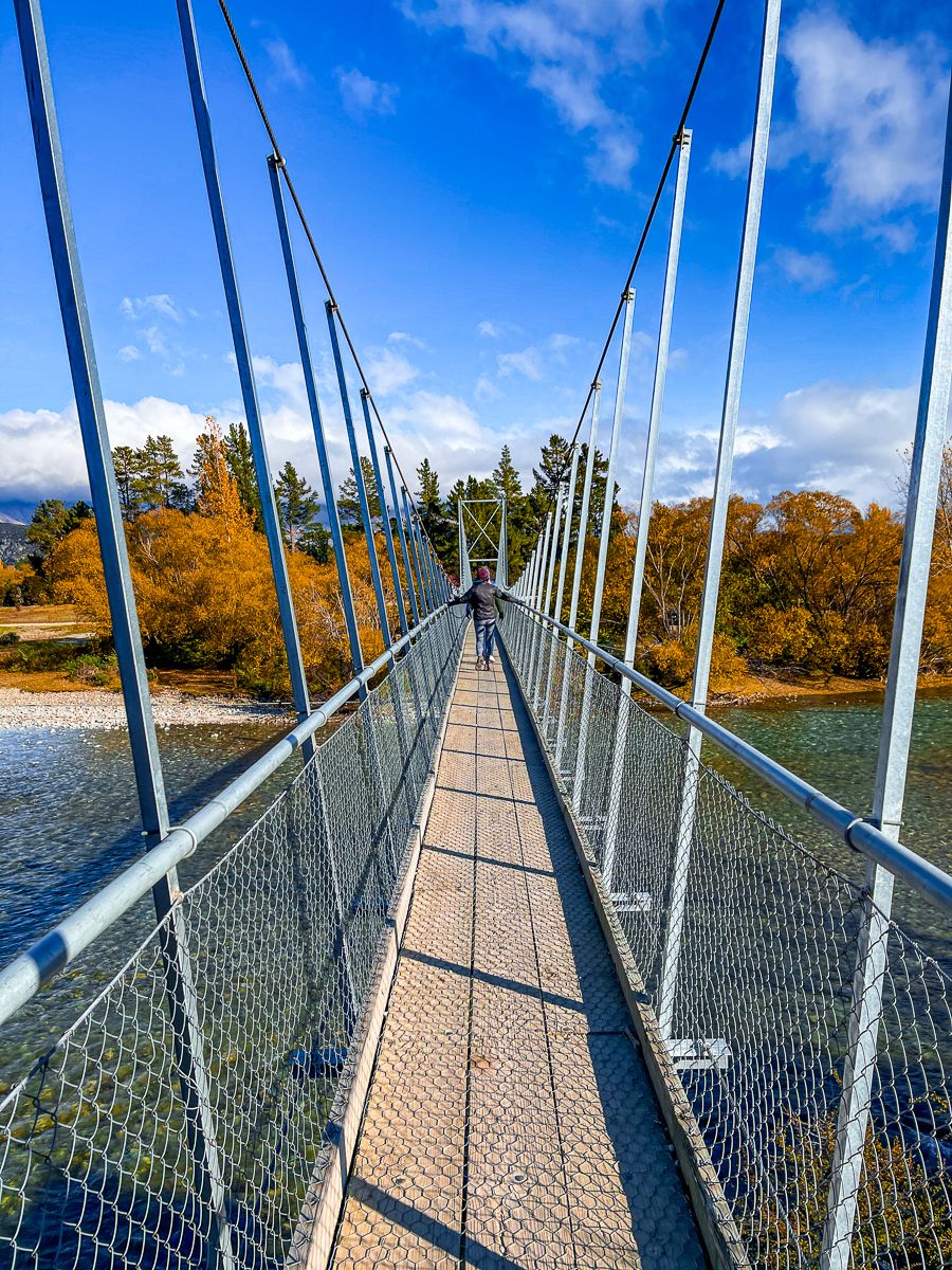
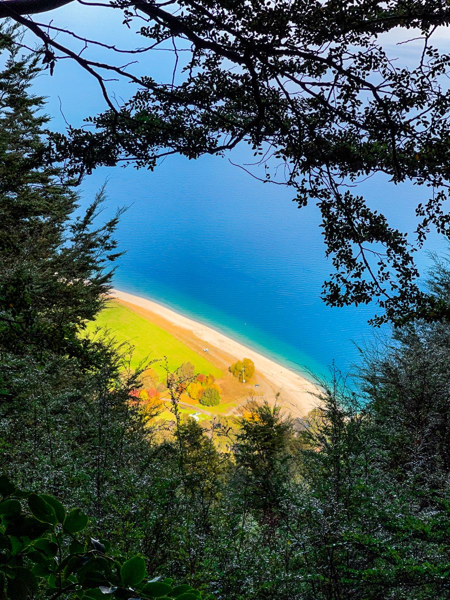
One of the area’s defining features is the remarkable variety of walking tracks — from flat, family-friendly paths along the lake edge to full-day climbs that lead high onto the tops. The southern end of the lake has a network of well-maintained trails ideal for casual walks or bike rides. The flat Lake Hāwea Track runs above the wide, steep gravel beach and through the township to connect with the Hāwea River Track, which follows the river downstream to Albert Town and connects with Wānaka’s Outlet Track at the Clutha River / Mata-Au. These connected shared walking and cycling tracks are all part of Te Araroa.
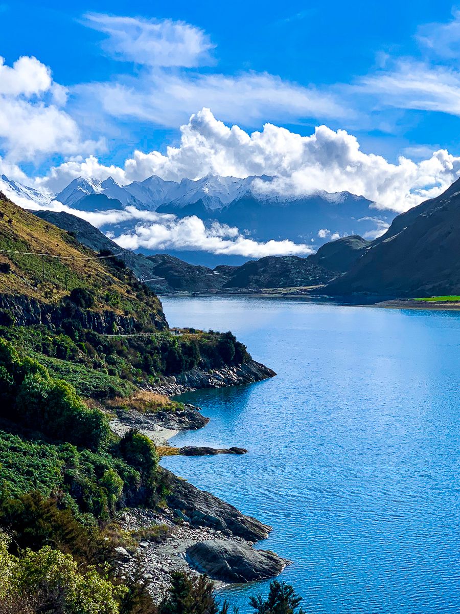
Further afield, several tramping routes climb into the alpine country above the lake. From SH6 at the narrow isthmus between Lakes Wānaka and Hāwea, the Isthmus Peak Track is a challenging 16-km return hike, with sweeping views over both lakes. Nearby, Kidds Bush Reserve, accessed via Mead Road, is the start point for the steep Sawyer Burn Track, which climbs through forest to a ridgeline overlooking the lake. Mead Road continues towards the mouth of the Hunter River, with further tramping routes leading into remote backcountry valleys.


The Te Araroa trail follows the eastern side of the lake, rising to the summit of Breast Hill (1,578 m) before continuing through high-country stations towards the Ahuriri Valley. This track is accessed from Timaru Creek Road, a gravel road that runs for some distance along the remote east side of the lake. Also on the eastern side, Grandview Mountain Track begins off Back Road near the Hāwea River bridge. This rewarding route leads through farmland and up to a broad summit plateau with exceptional views west across the lake.
These tracks are less trafficked than places like Roy's Peak and suit those looking for a quieter wilderness experience.
A Landscape Shaped by Water and Time
Like many Southern Lakes, Lake Hāwea was carved by glaciers during the last Ice Age. In the 1950s, a small dam was built at the southern outlet to regulate flows for the Clutha River / Te Mata-au hydro scheme. Although modest in appearance, the dam raised the lake level by around 20 metres and plays a key role in South Island power generation. You cross the dam as you enter the town.
The name Hāwea comes from an early iwi, Ngāi Tahu ki Hāwea, who used the area seasonally for mahika kai (food gathering). Tuna (eel), weka, and other resources were abundant in the lake and surrounding wetlands. European explorers and runholders arrived in the mid-1800s. The initial giant sheep stations were eventually scaled down, and the small service town attracted holidaymakers.
Campgrounds, Lakeside Stops and Local Amenities
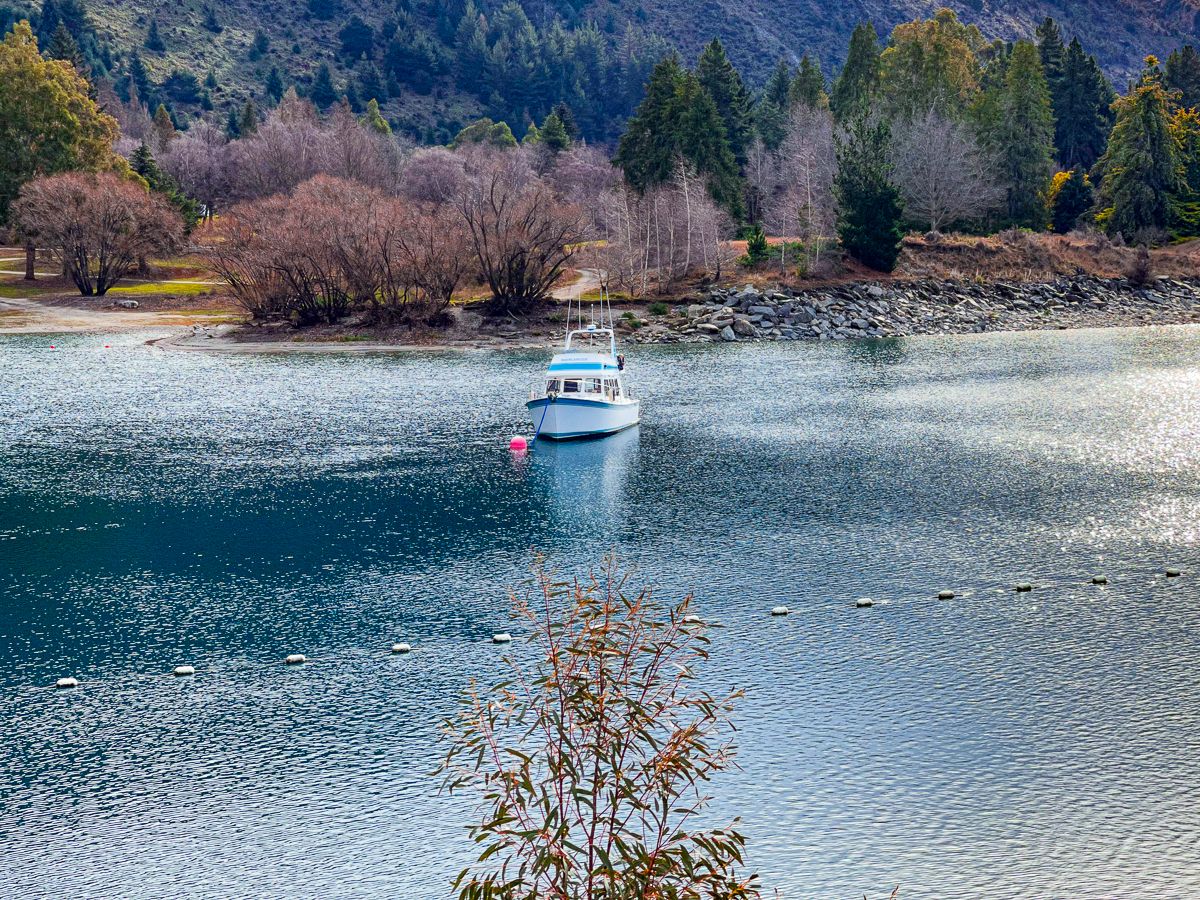
The township of Hāwea has a small cluster of amenities, including a general store, café, and local hall. At the lakefront, the Lake Hāwea Holiday Park is a popular spot for campers and families, offering easy lake access for swimming, paddling, or boating.
Further north, Kidds Bush Reserve has a DOC campsite tucked beneath mountain beech forest. It’s an ideal picnic spot or overnight base before tackling Sawyer Burn or heading further into the Hunter Valley.
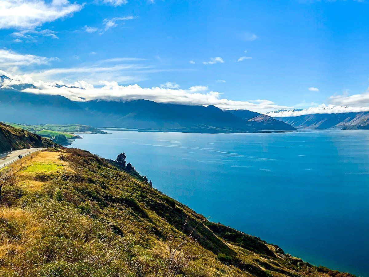
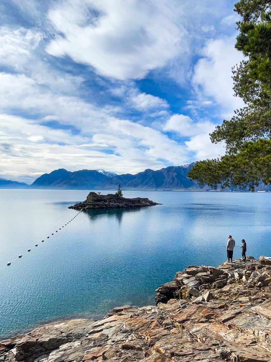
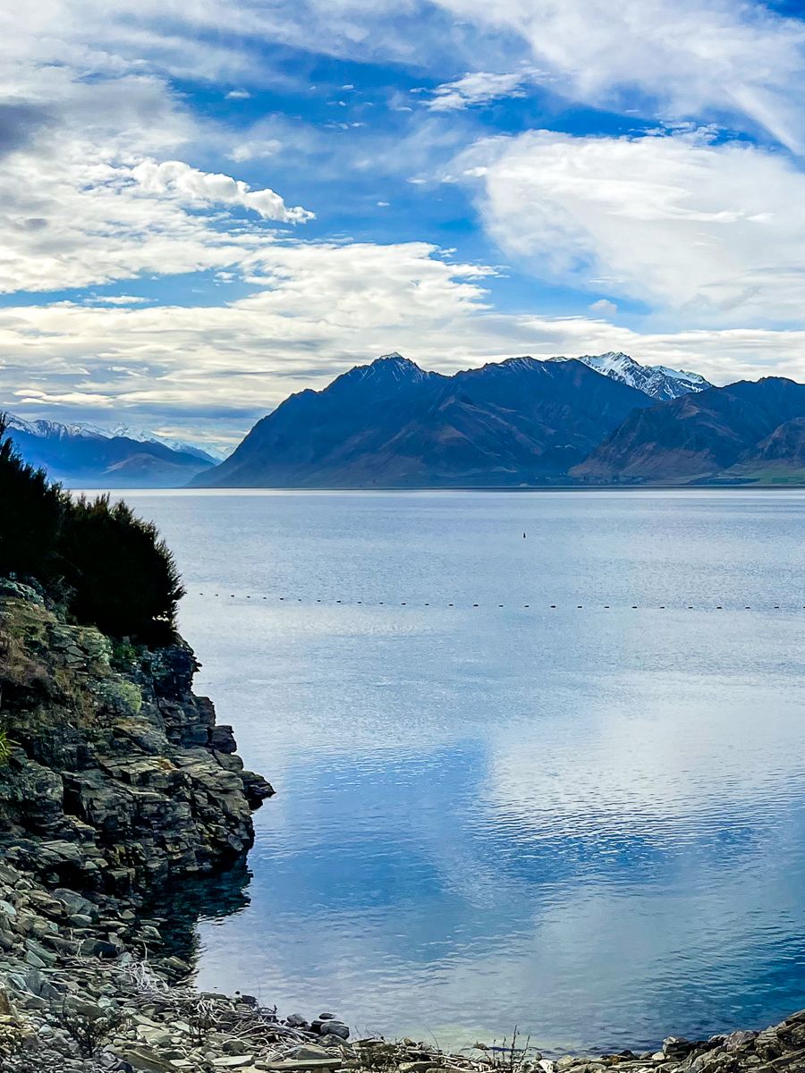
Many travellers simply enjoy the SH6 stretch towards Makarora, which hugs the western shoreline of Lake Hāwea, then crosses the isthmus to the east side of Lake Wānaka, revealing coves and mountain ranges as you go.
How to Get There
Lake Hāwea lies on State Highway 6, just 15 km northeast of Wānaka (about 15 minutes’ drive). From Queenstown, the route takes around 1 hour and 30 minutes via the Crown Range and Wānaka. The Lake Hāwea Lookout is midway along the lake on SH6, clearly marked with a carpark and signage.