Maungaroa: Piha’s lesser-known lookout
Tucked into the rainforest behind Piha Beach, the Maungaroa Track offers one of the best elevated views in the Waitākere Ranges of Auckland, with a quiet, tree-shaded climb to get there. Beginning just inland off Glendesk Road, the track rises steadily through native forest to two excellent viewpoints, before leading to a grove of kauri. It's a steep climb and mild scramble for one of the viewpoints, followed by an easy boardwalk through the kauri forest.
Volcanic flanks and wild coastline
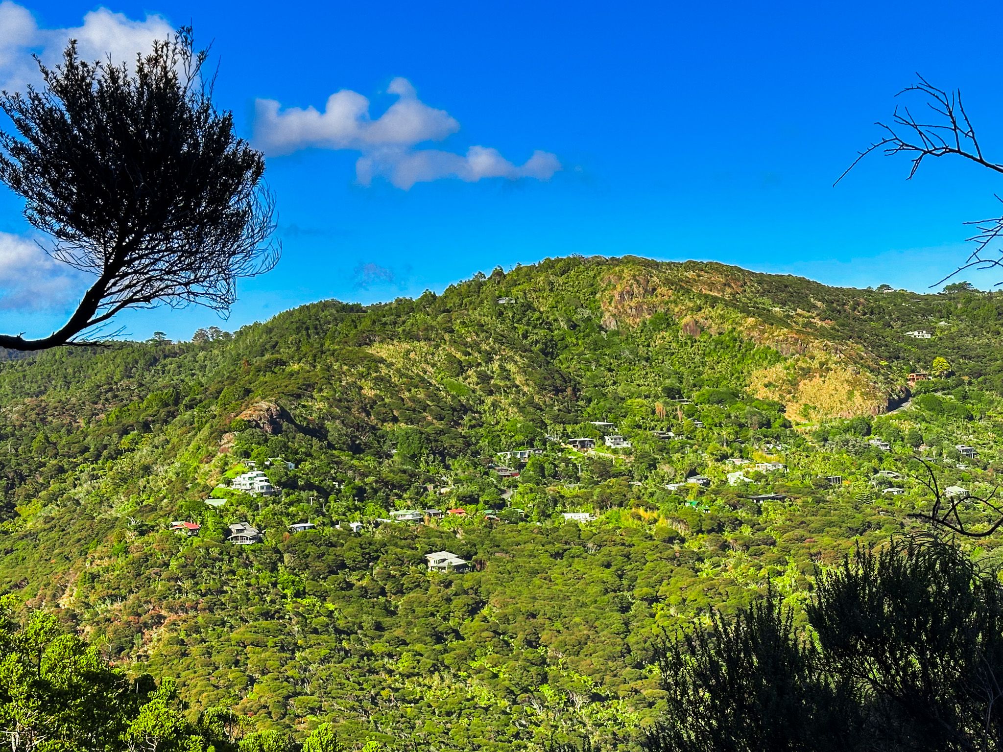
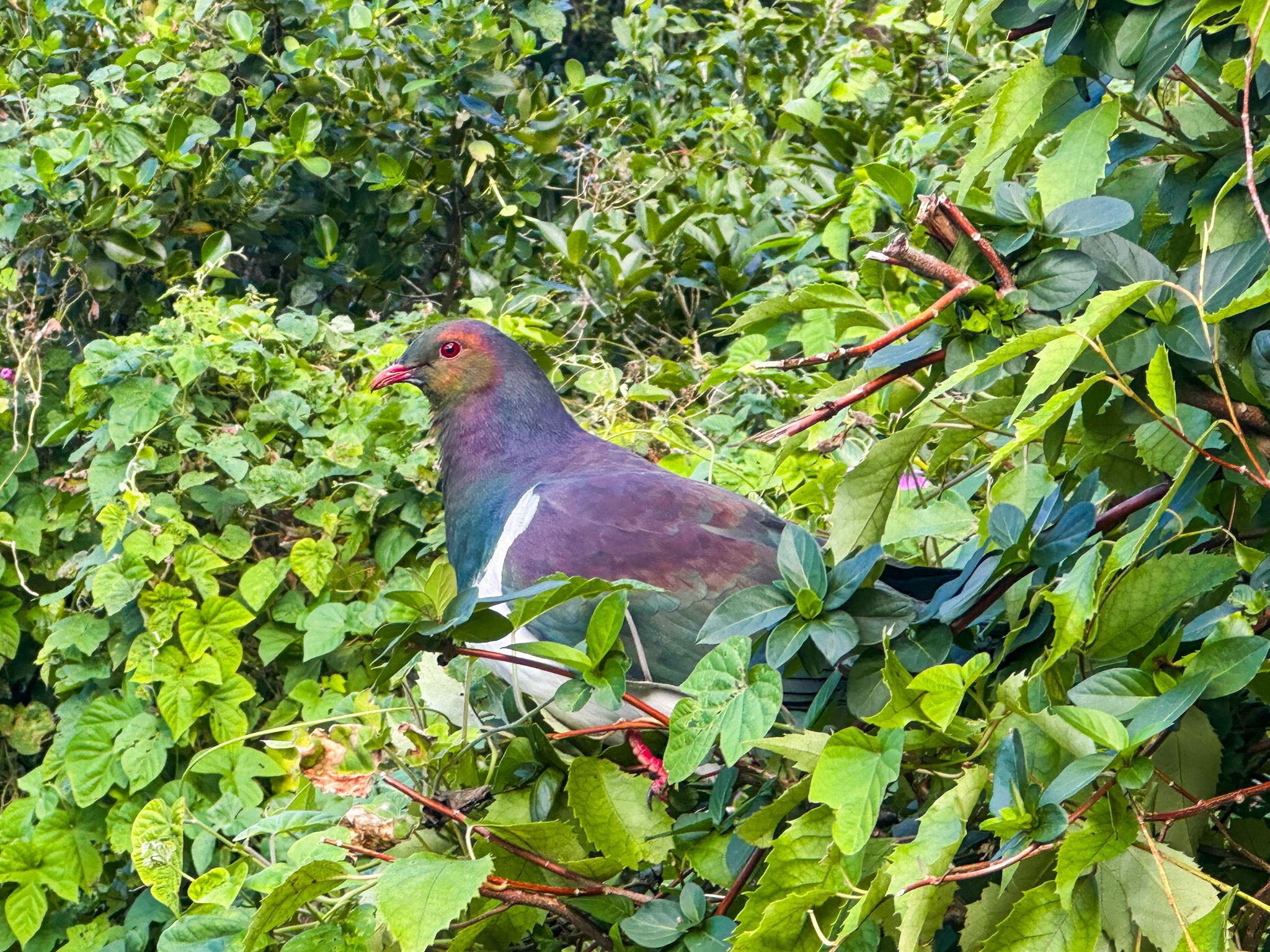
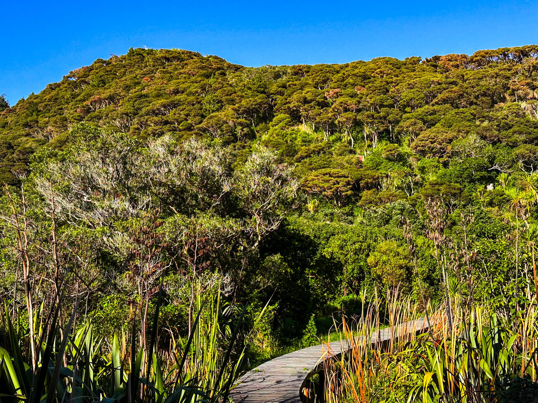
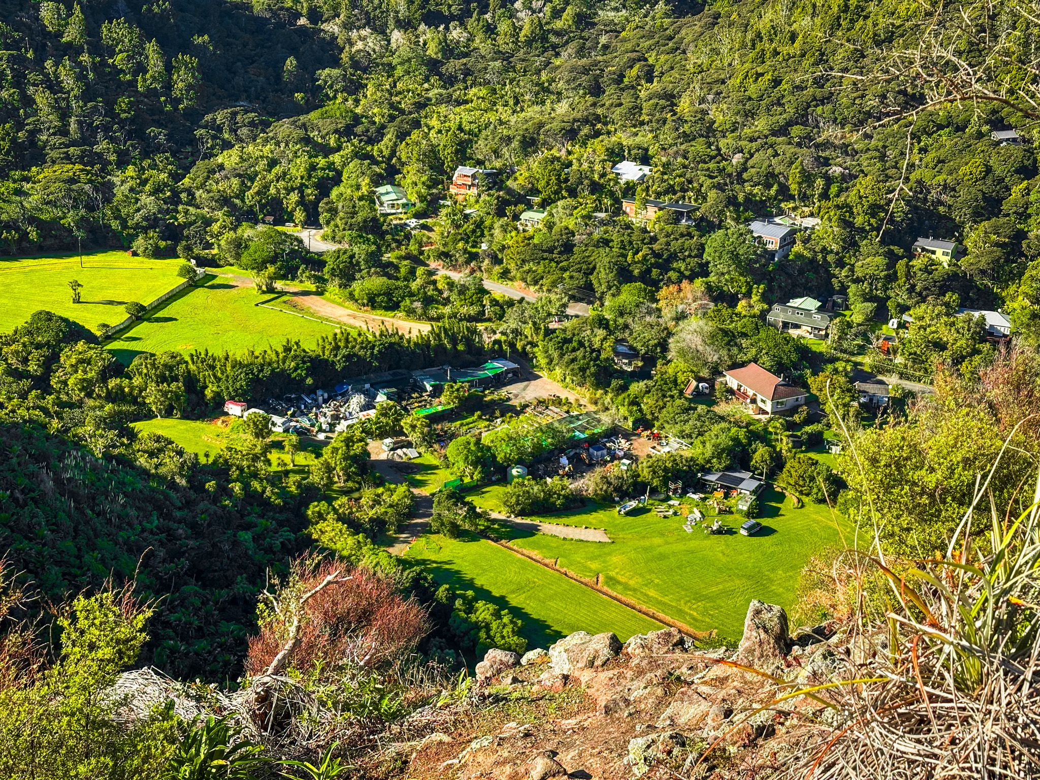
The Maungaroa Track starts about 500 metres along Glenesk Road, before you get to the car park for Kitekite Falls. The track begins with a footbridge across the Piha Stream, where you can often see tūī and kererū. From there, the trail climbs around 180 metres up the side of the Kitenui volcanic plug, formed over 20 million years ago.
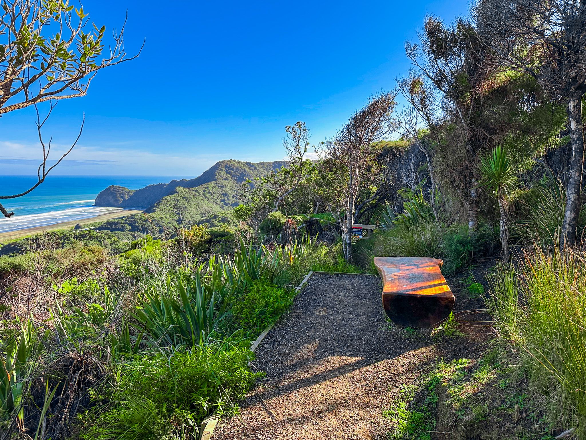
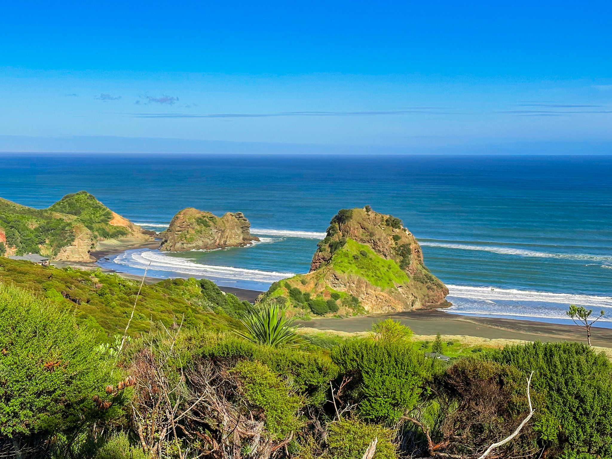
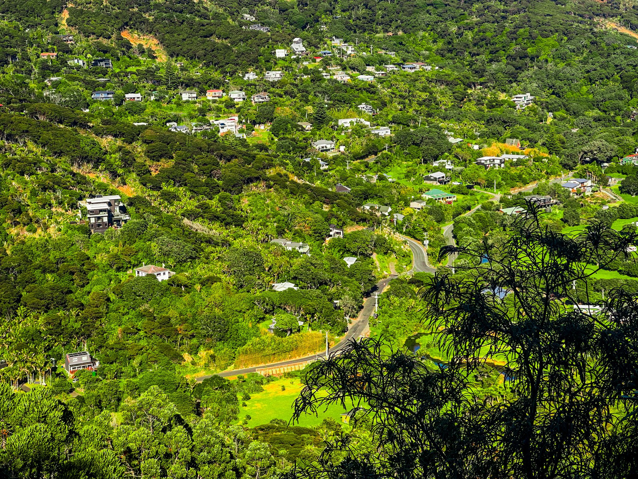
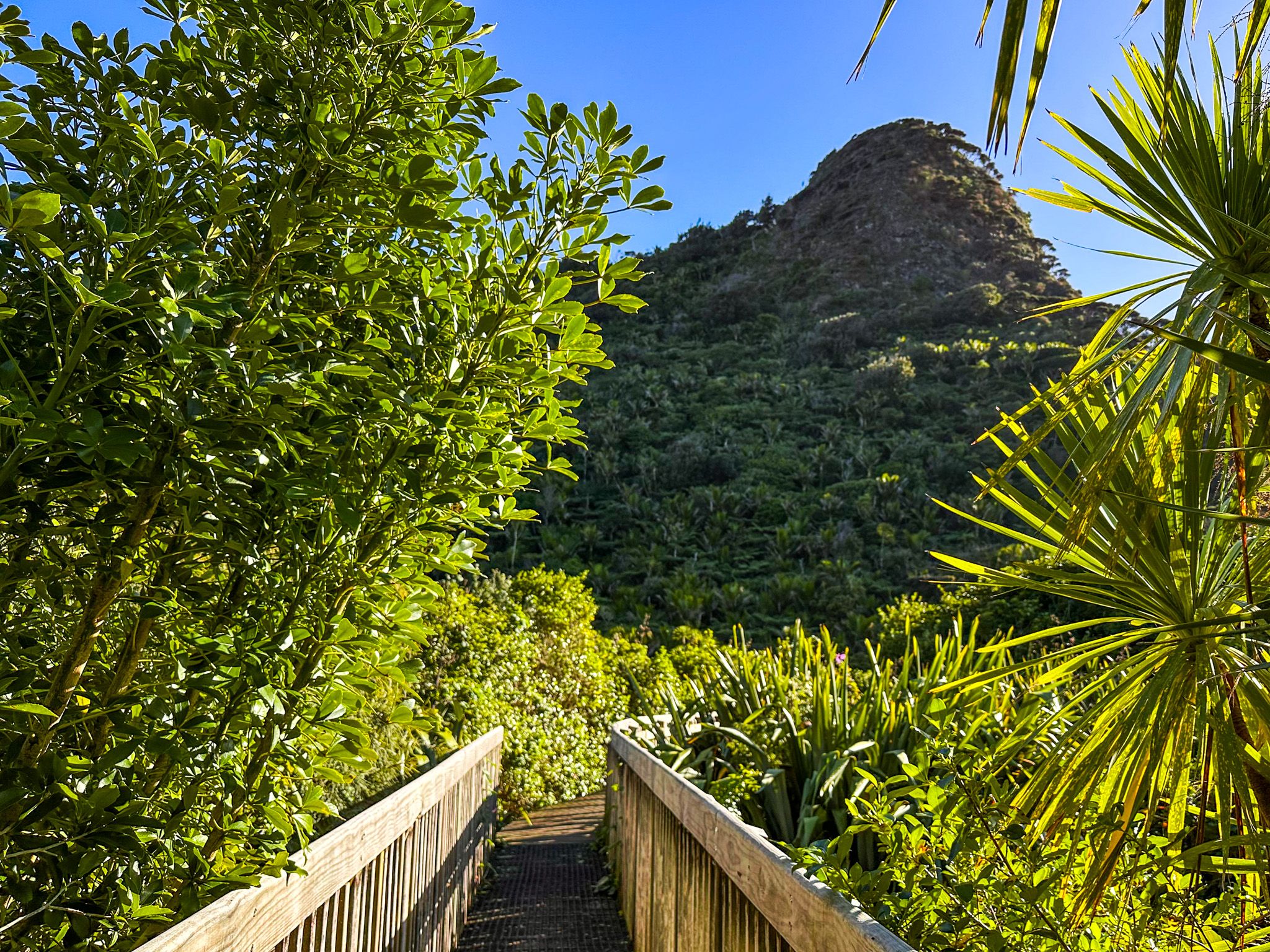
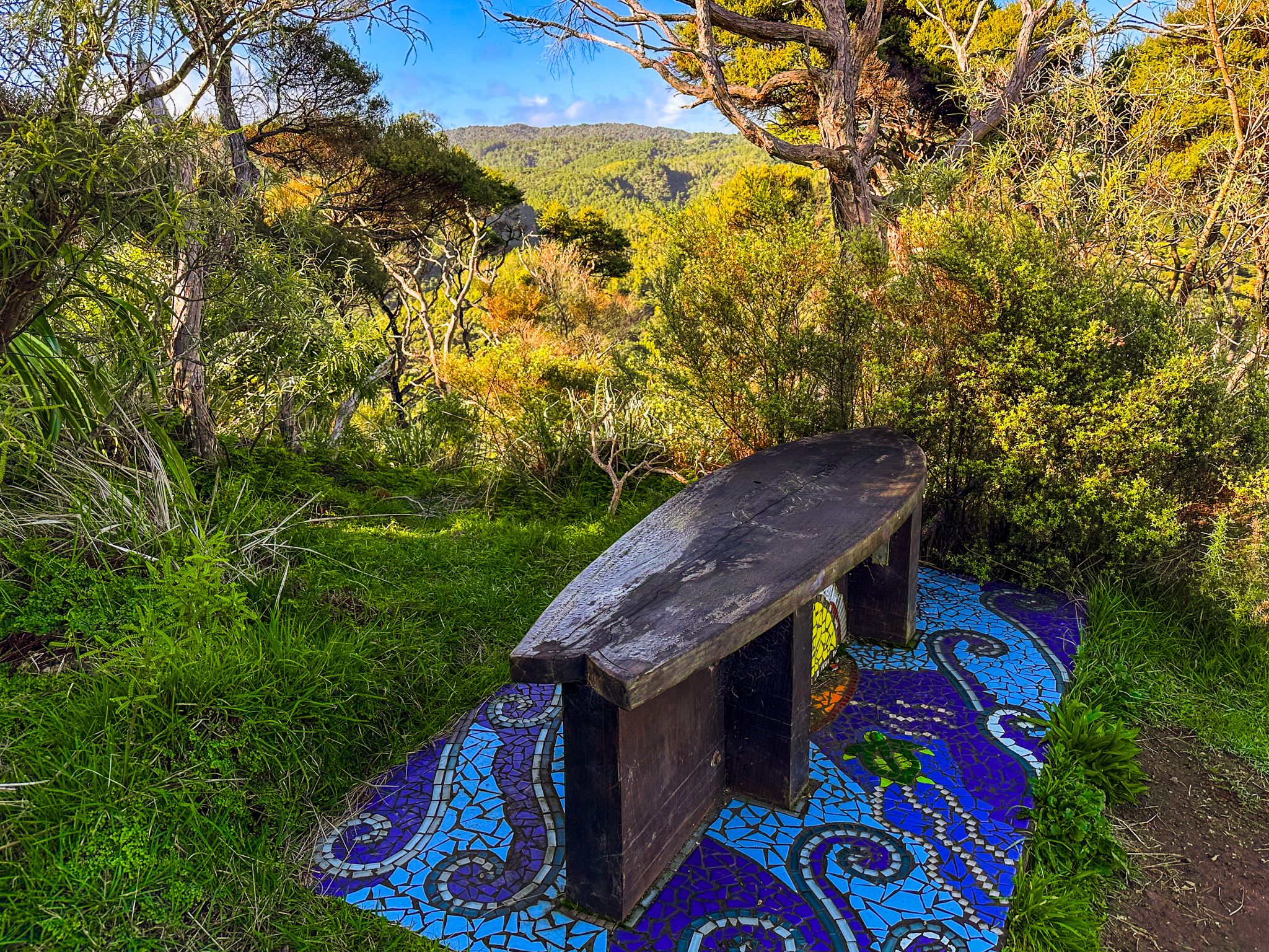
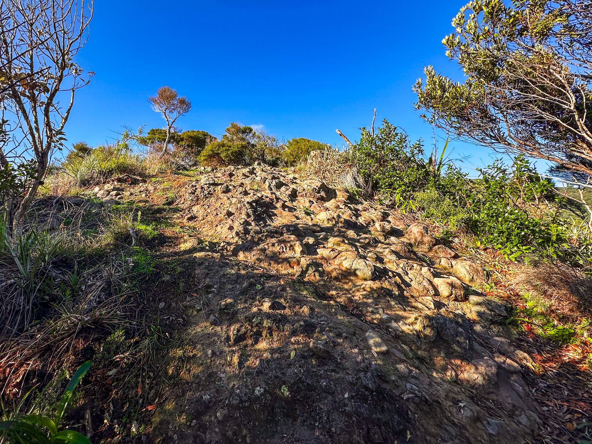
After 15 minutes, the first lookout appears, opening westward toward Piha and Lion Rock, with a colourful bench seat and a rocky platform. A second, higher viewpoint is on the top of Kitenui. This needs a short, easy rock scramble but reveals additional views up the Piha Valley. Take care, as you are on the top of the cone-shaped volcanic plug with steep rocky sides that you saw from the road below.
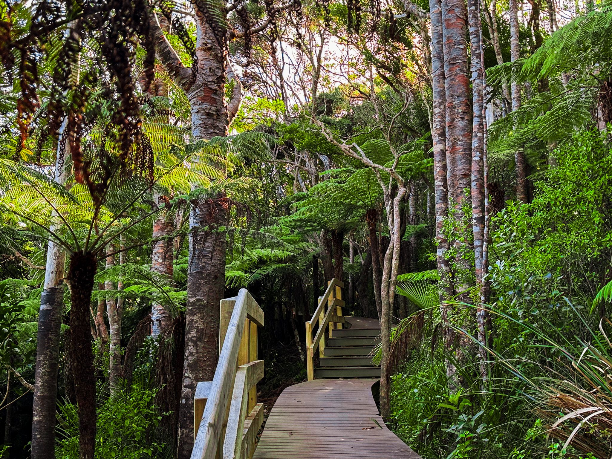
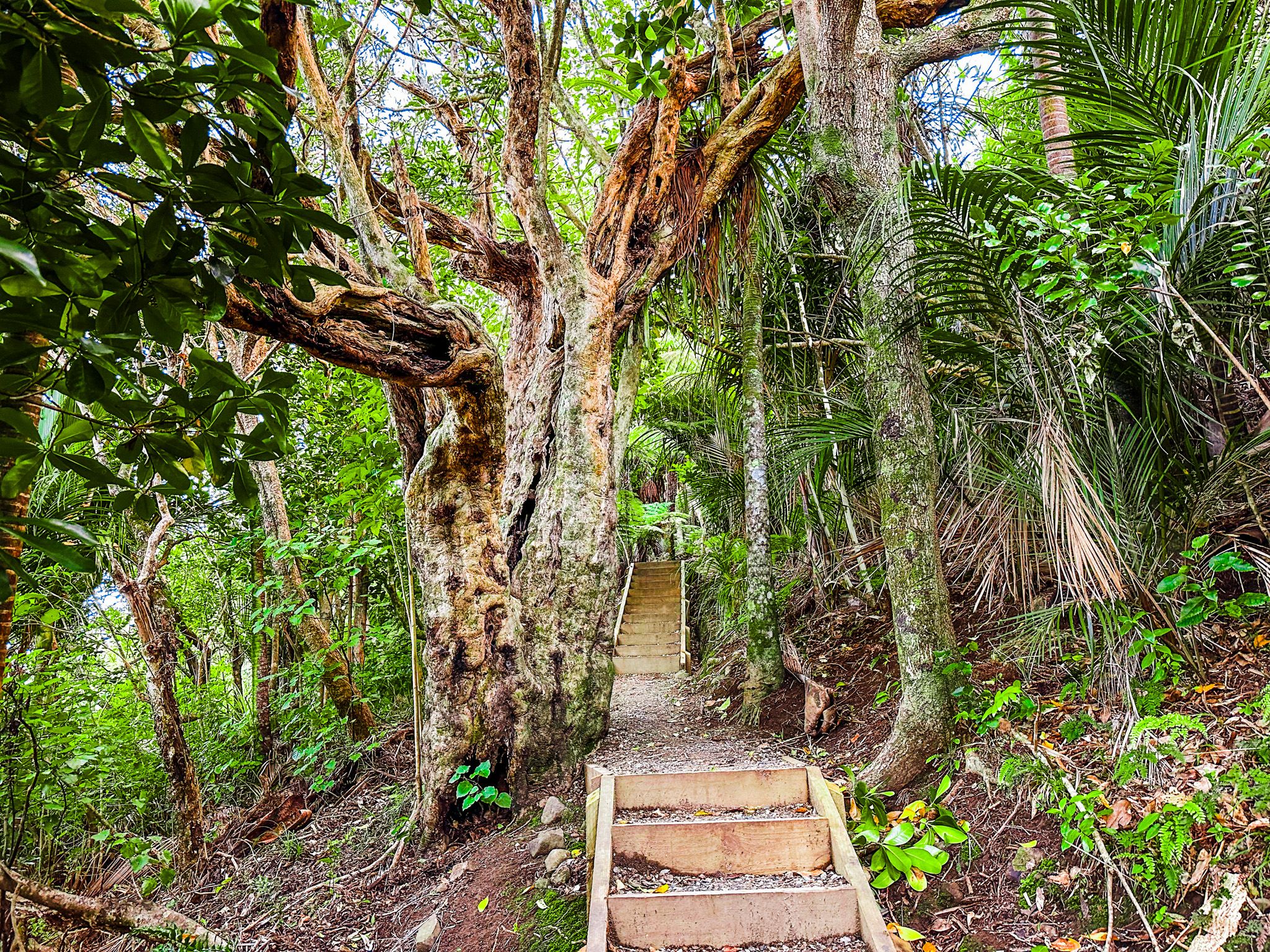
Kauri giants and coast-facing views
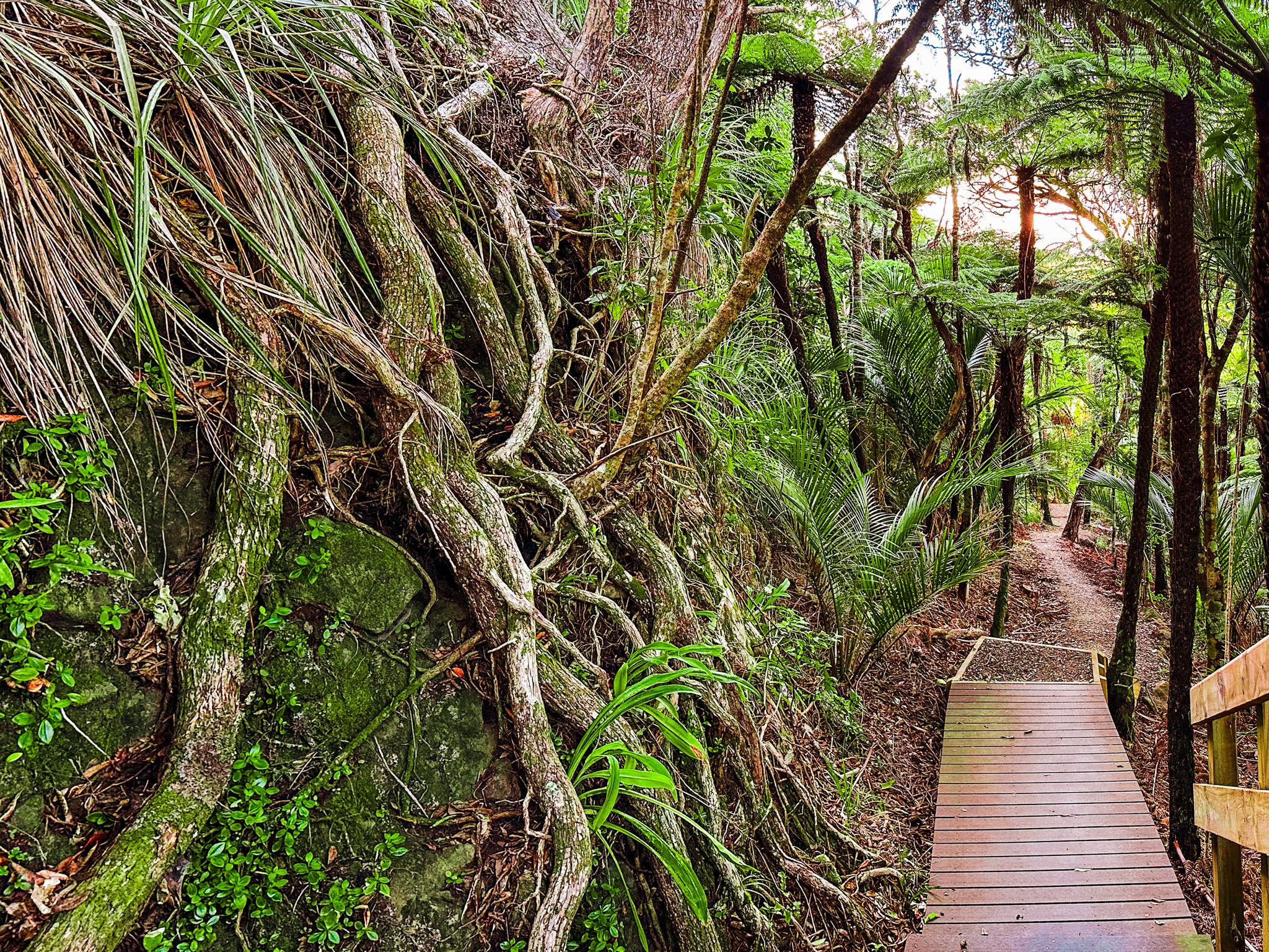
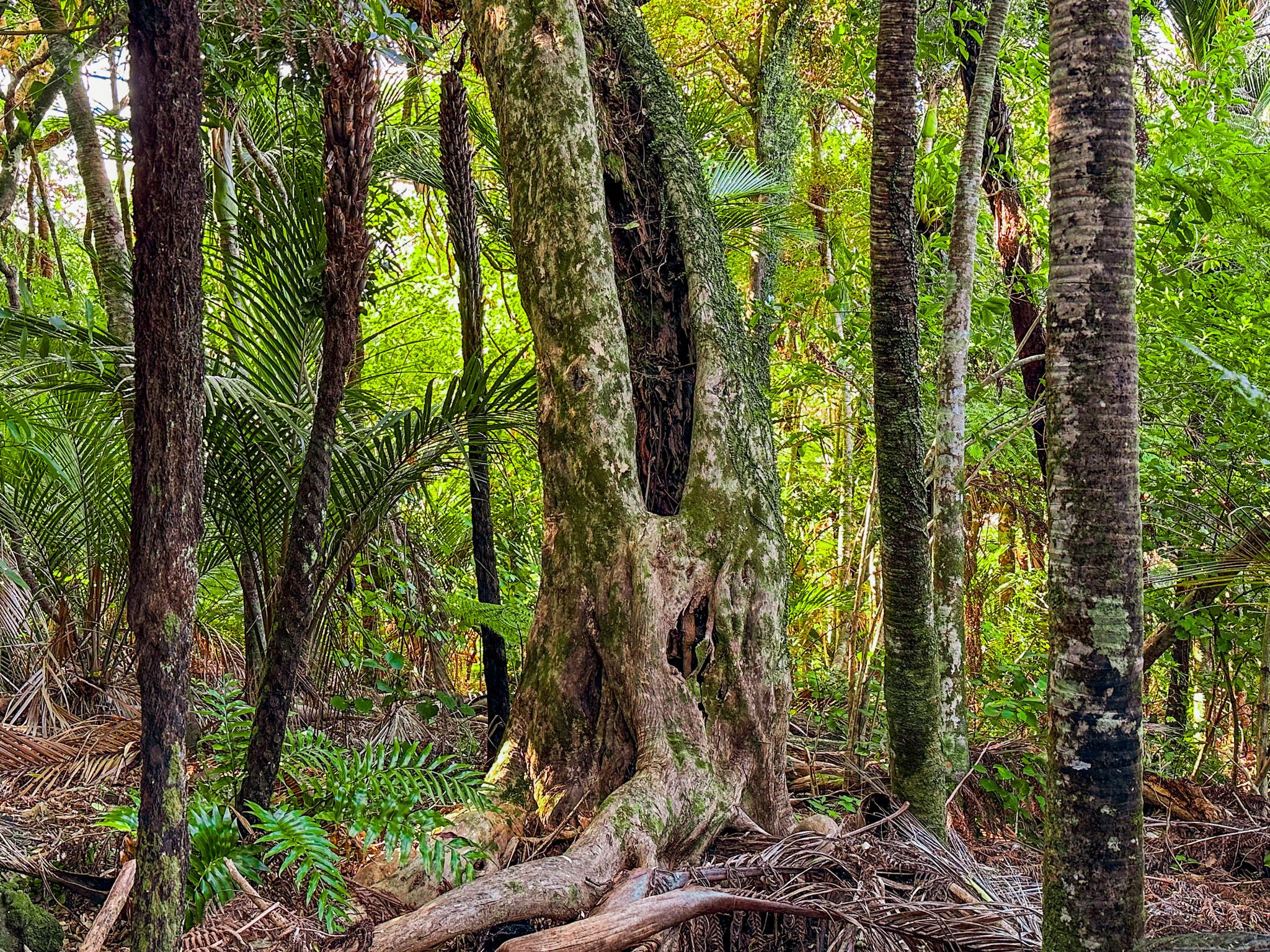
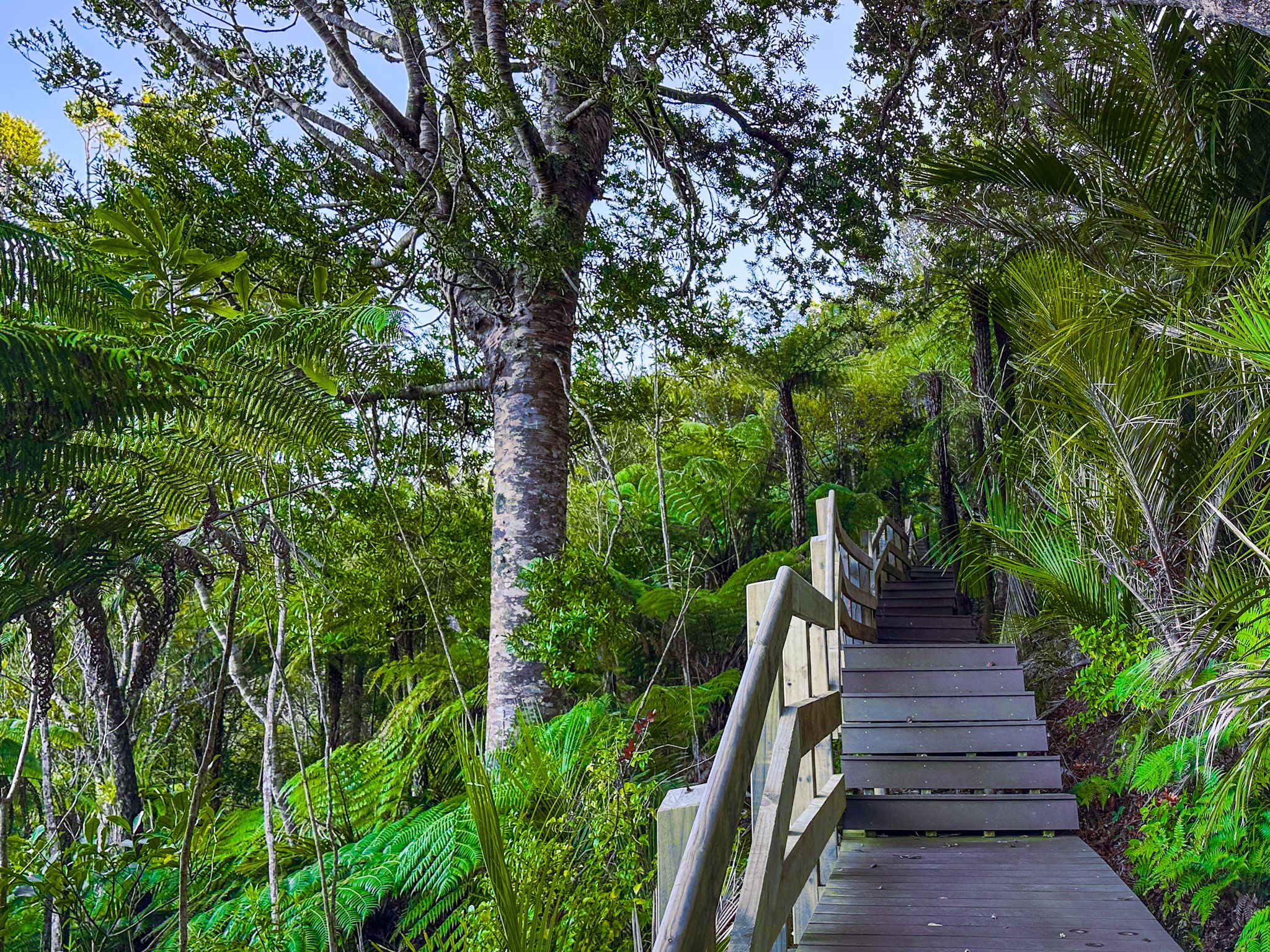
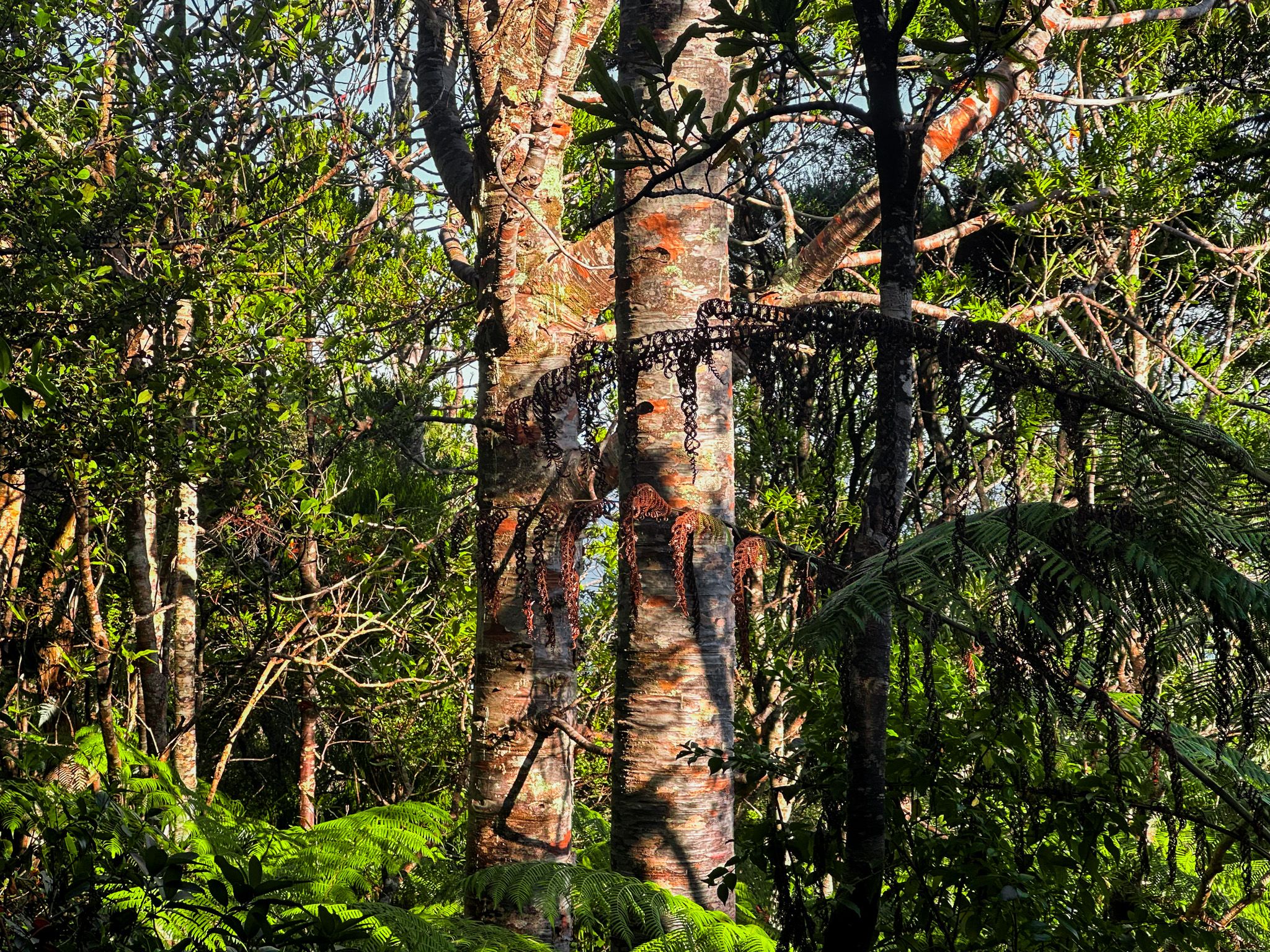
As you continue along, the track curves around the western side of Maungaroa, entering a shaded grove of mature kauri. The trees look to be around 150 years old, and are the largest accessible kauri in Piha. To protect their roots, the path crosses a raised boardwalk through the grove, making this one of the few spots in the Waitākere Ranges where you can walk amongst kauri with full canopy views.
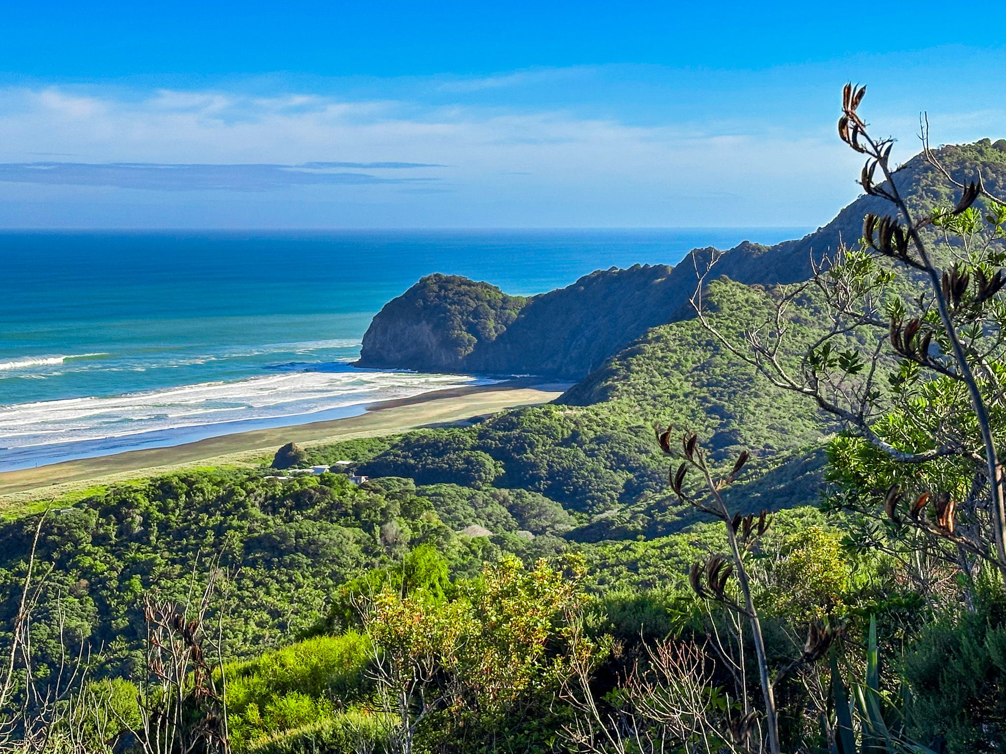
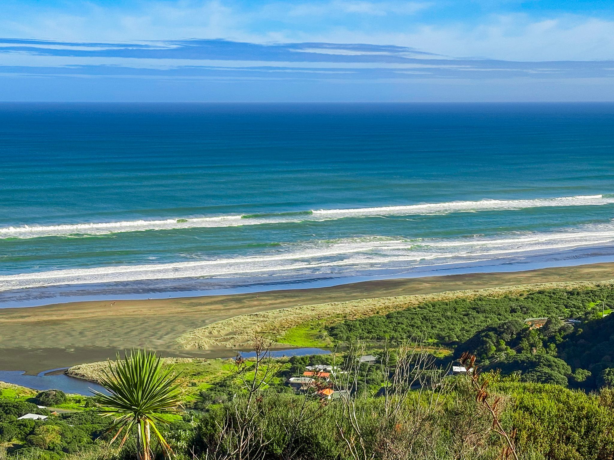
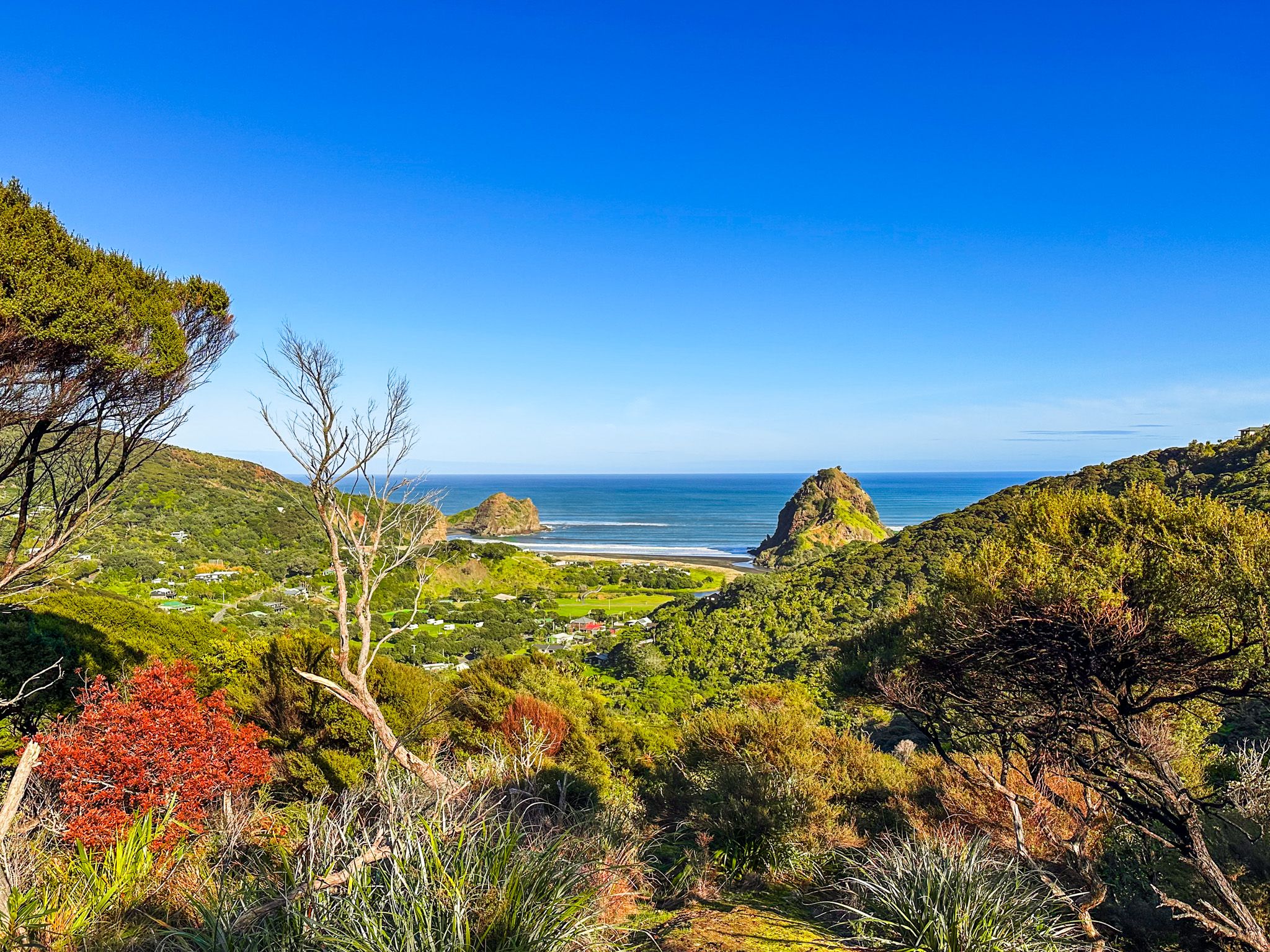
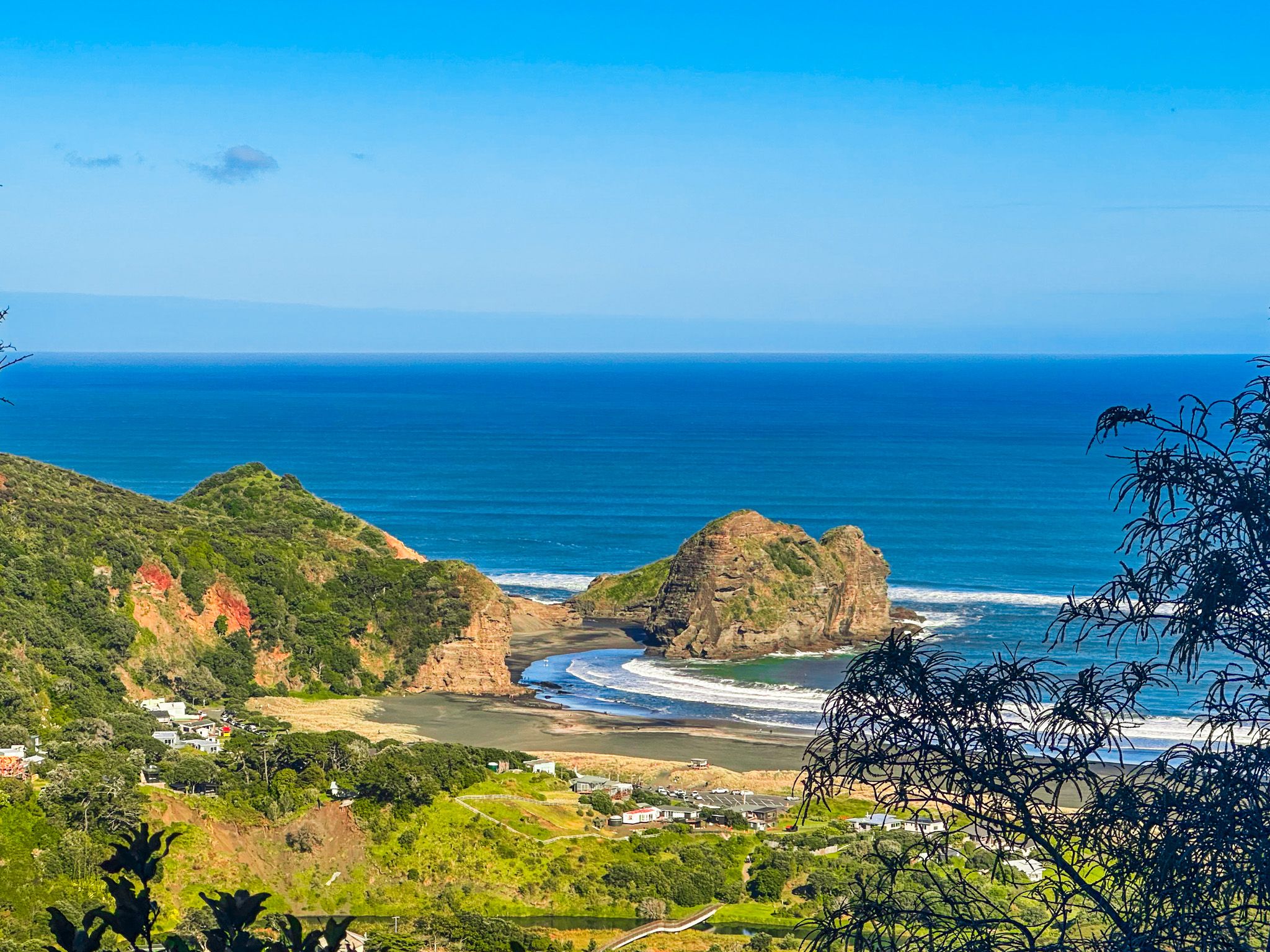
From here, a final short rise leads to another lookout point, this time facing north to North Piha Beach and Te Waha Point. It’s a dramatic change in perspective from the forest, with the black-sand beach and surf line stretching into the distance.
The track ends here, and you’ll return the same way. The walk is about 3 km return and takes about 90 minutes, depending on pace and photo stops.
Place names and deep history
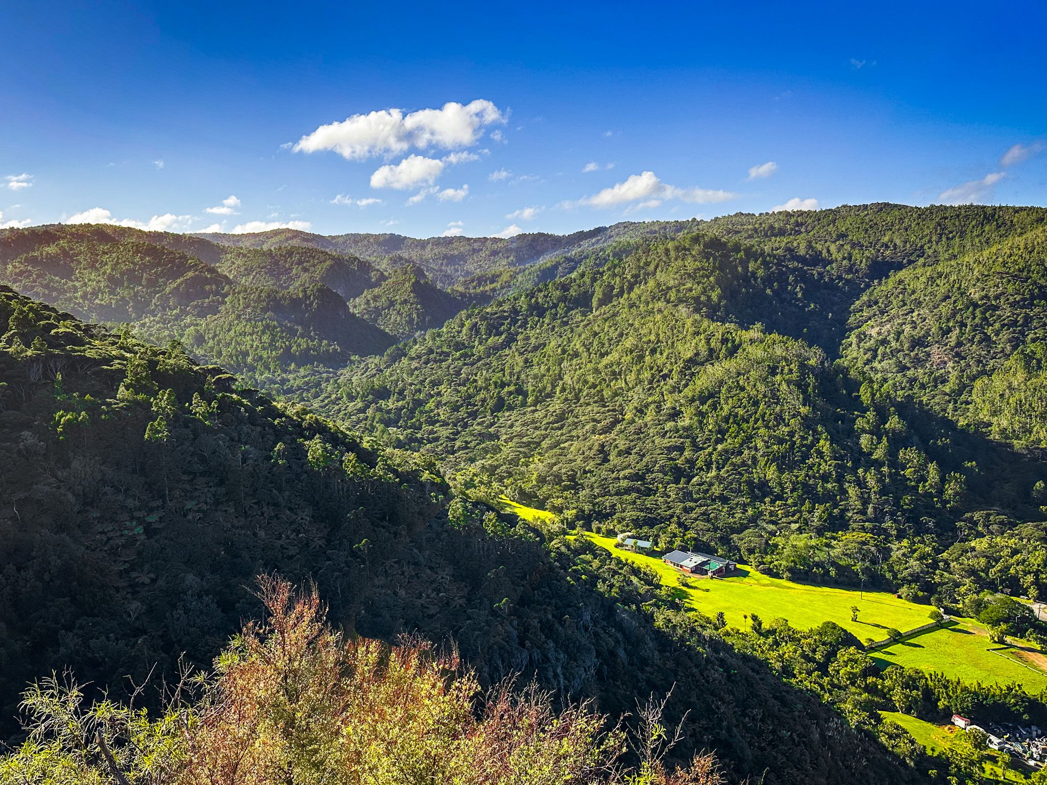
Maungaroa means "long mountain", referring to the ridge line that extends east from the volcanic plug. The area lies within the rohe of Te Kawerau ā Maki, the iwi who have long lived in and named the valleys, streams, and ridges of the Waitākere Ranges. Because it is not as widely known as nearby Kitekite Falls or the Mercer Bay Loop, Maungaroa provides a less-visited landscape, but with significant scenery and views.
The volcanic plug itself is a hard core of ancient lava, once buried deep in the cone of a 20 million year old volcano and exposed by millions of years of erosion.
How to get there
From the end of Piha Road (the main road into Piha), turn right onto Glenesk Road. The track is signposted on the side of the road, with space for a few cars. If there is no parking available, continue along the road to the larger car park for Kitekite Falls, then walk back a short distance. Sturdy shoes are recommended.
There are many other options around Piha, including a walk to Kitekite Falls, beach walks to Lion Rock, The Gap, and the Blowhole, a visit to North Piha, or a longer walk on the White Track to Whites Beach or Anawhata.