Ida Valley: Gold Trails and Kiwi Innovation
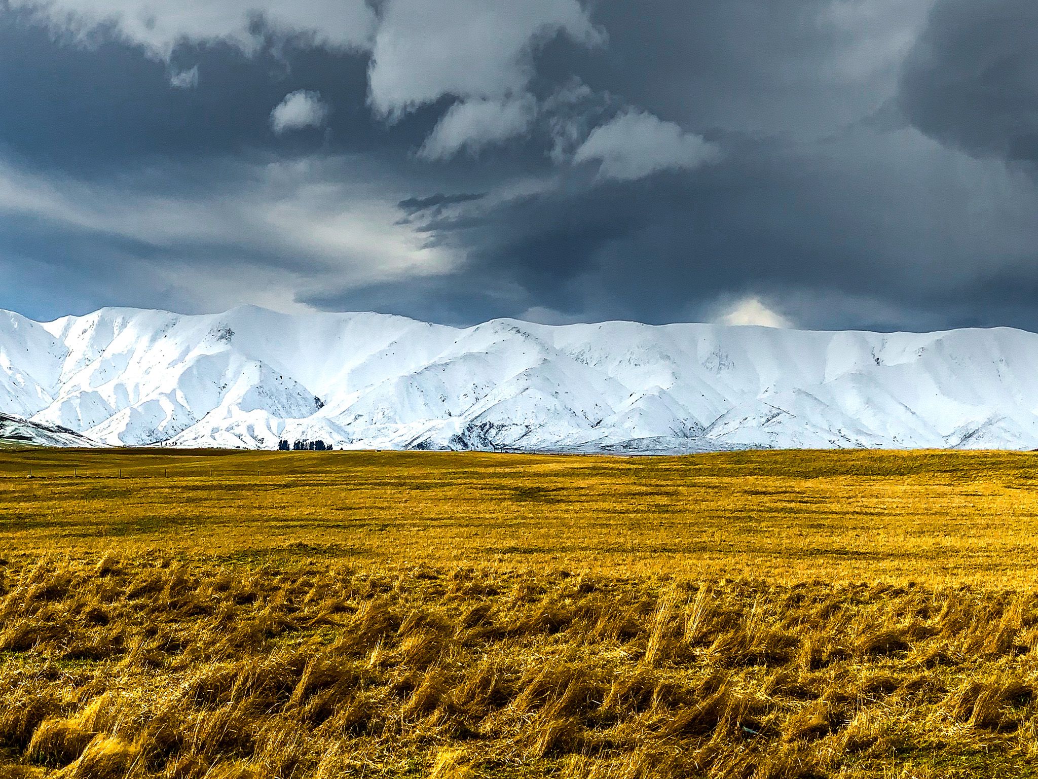
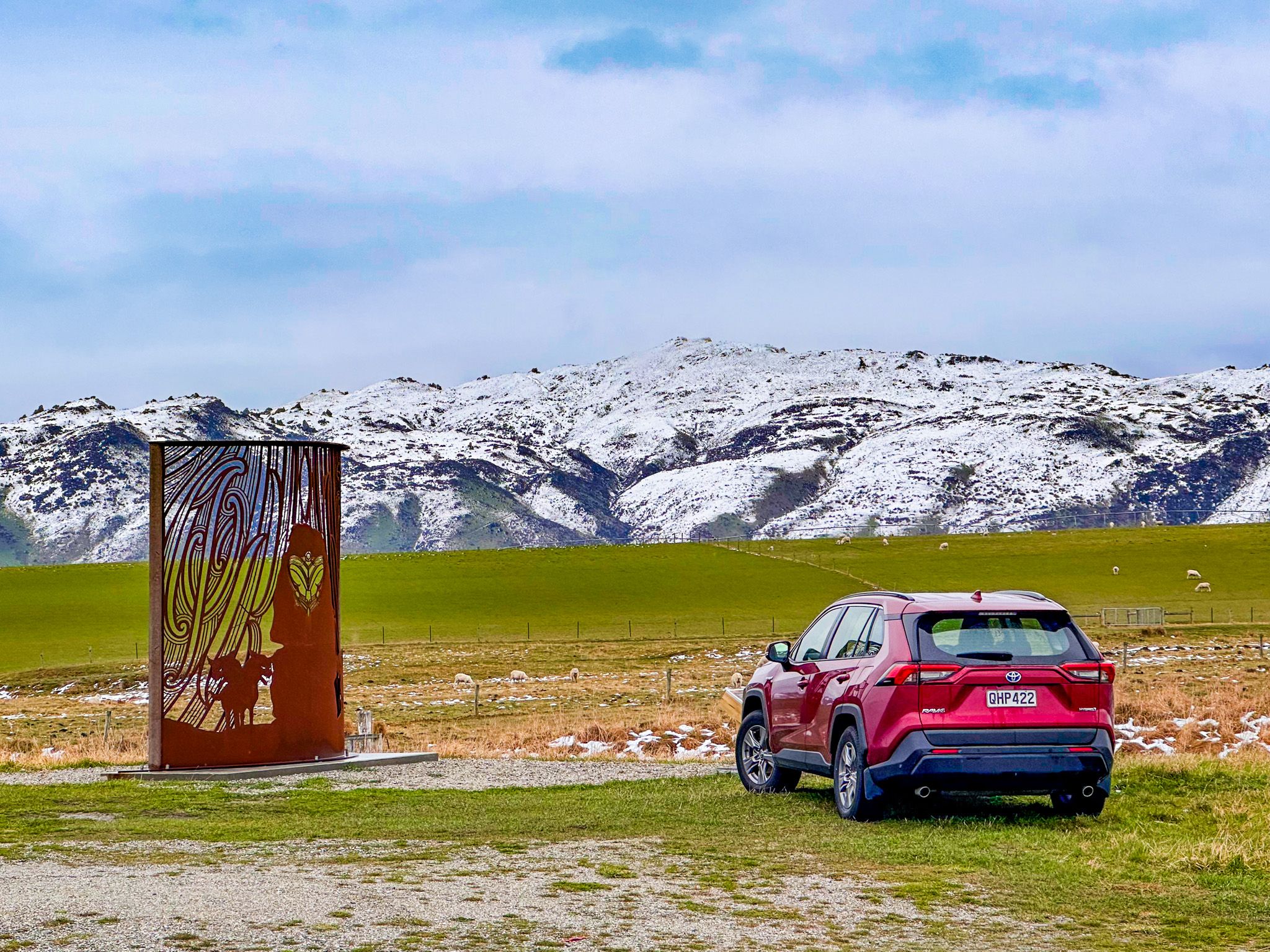
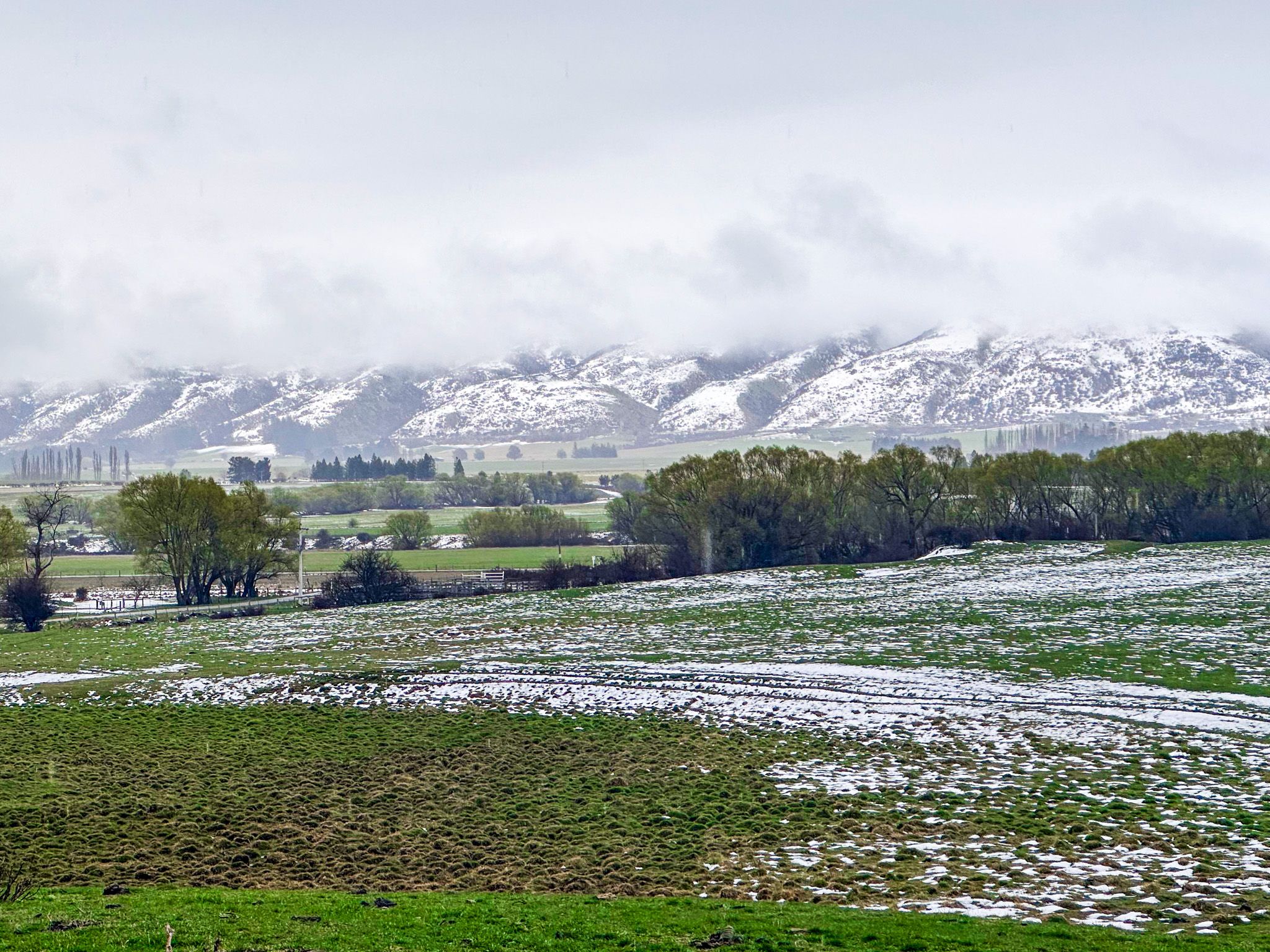
The Ida Valley is a classic Central Otago scene: open skies, golden light, and a sense of empty calm. As you approach the valley over the Raggedy Ridge, there are fabulous, wide-open views.
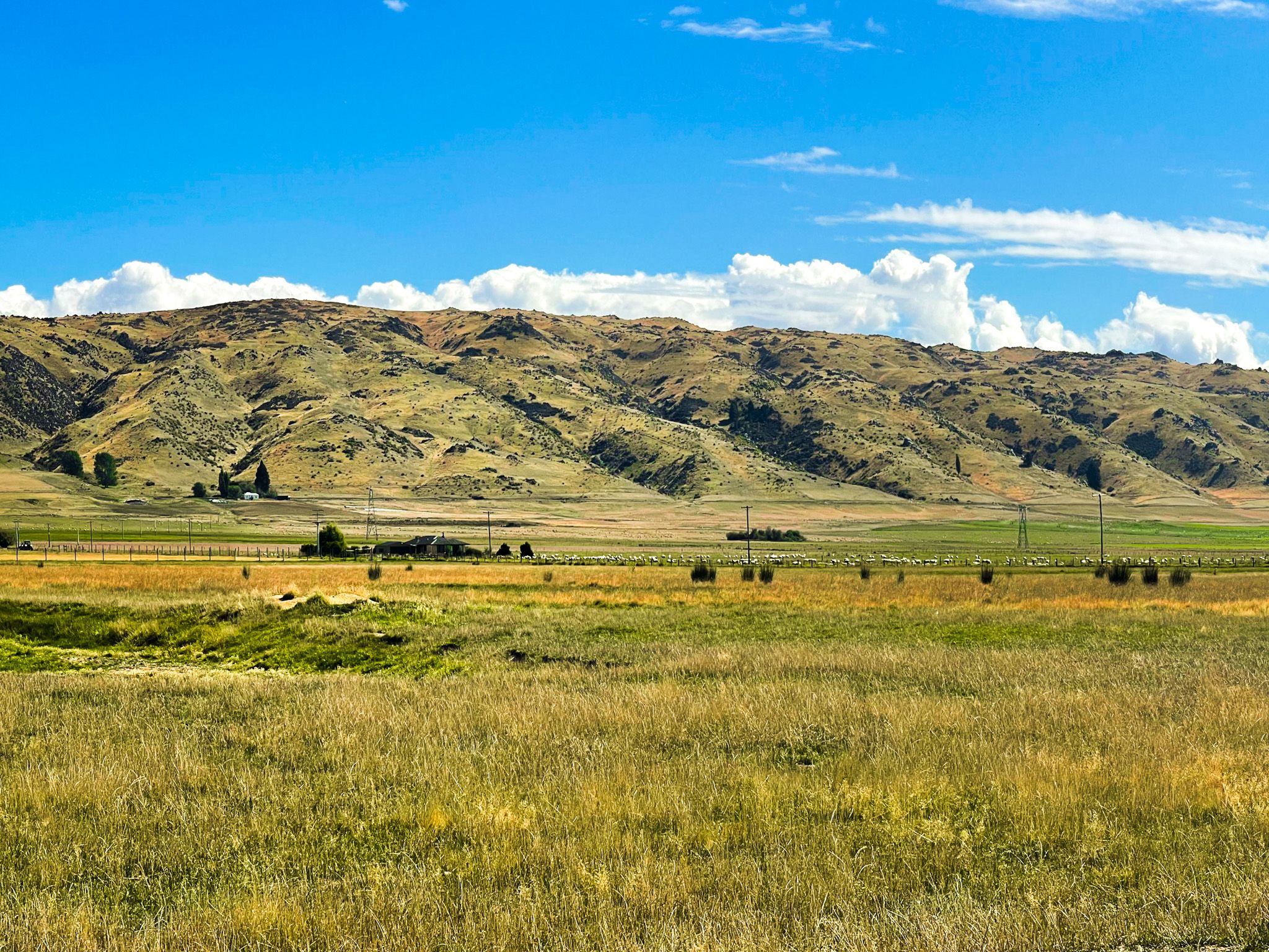
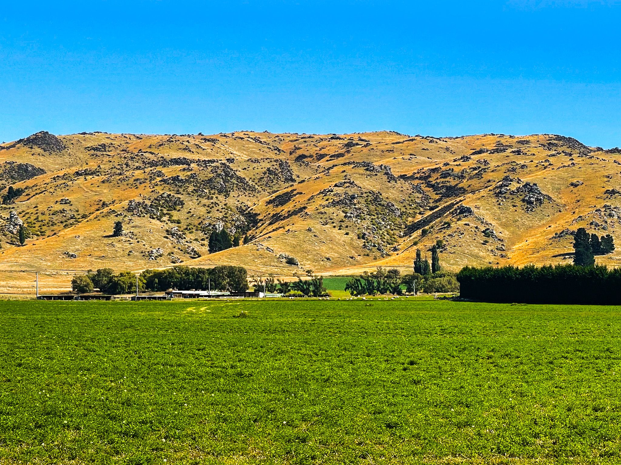
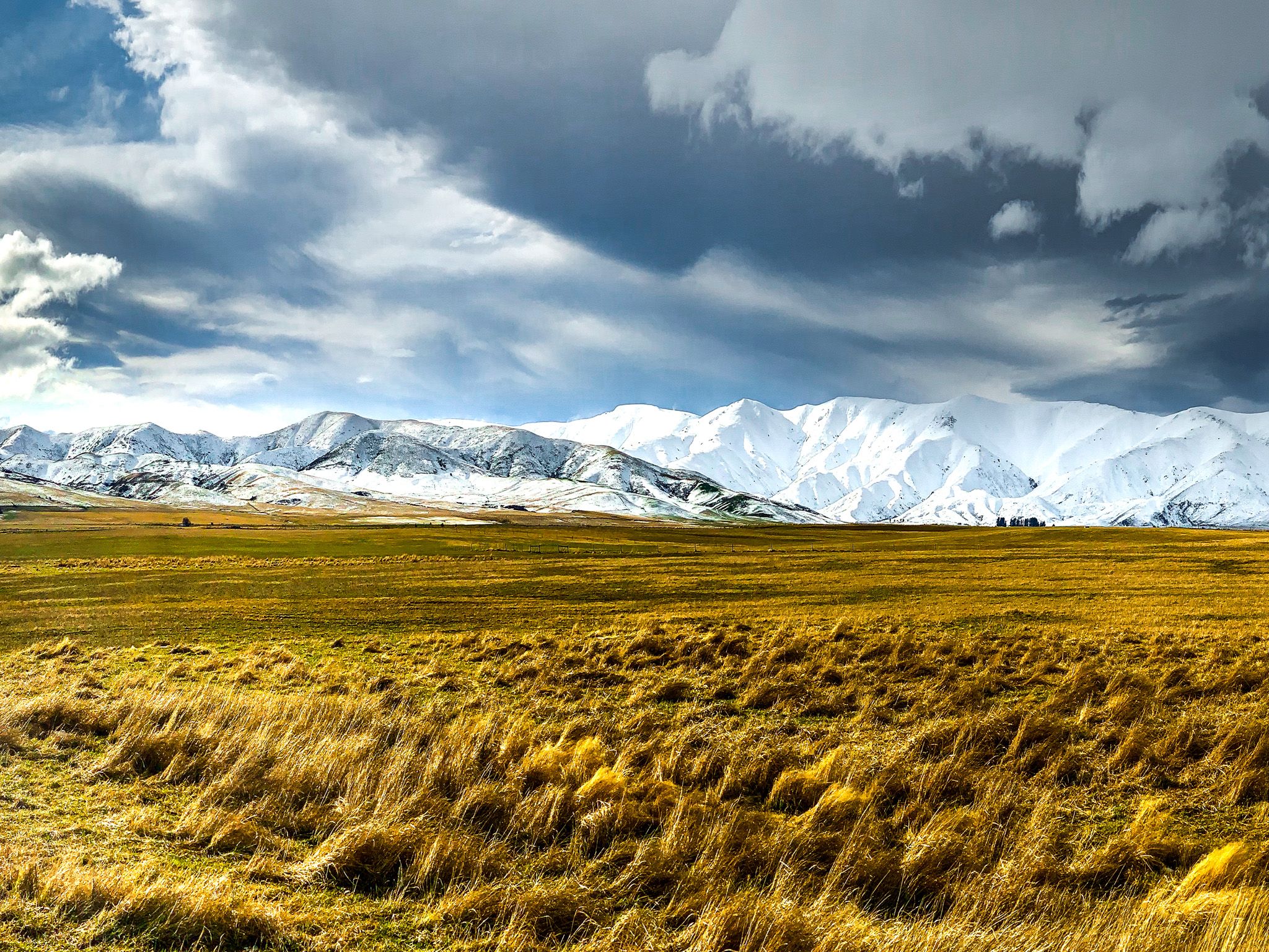
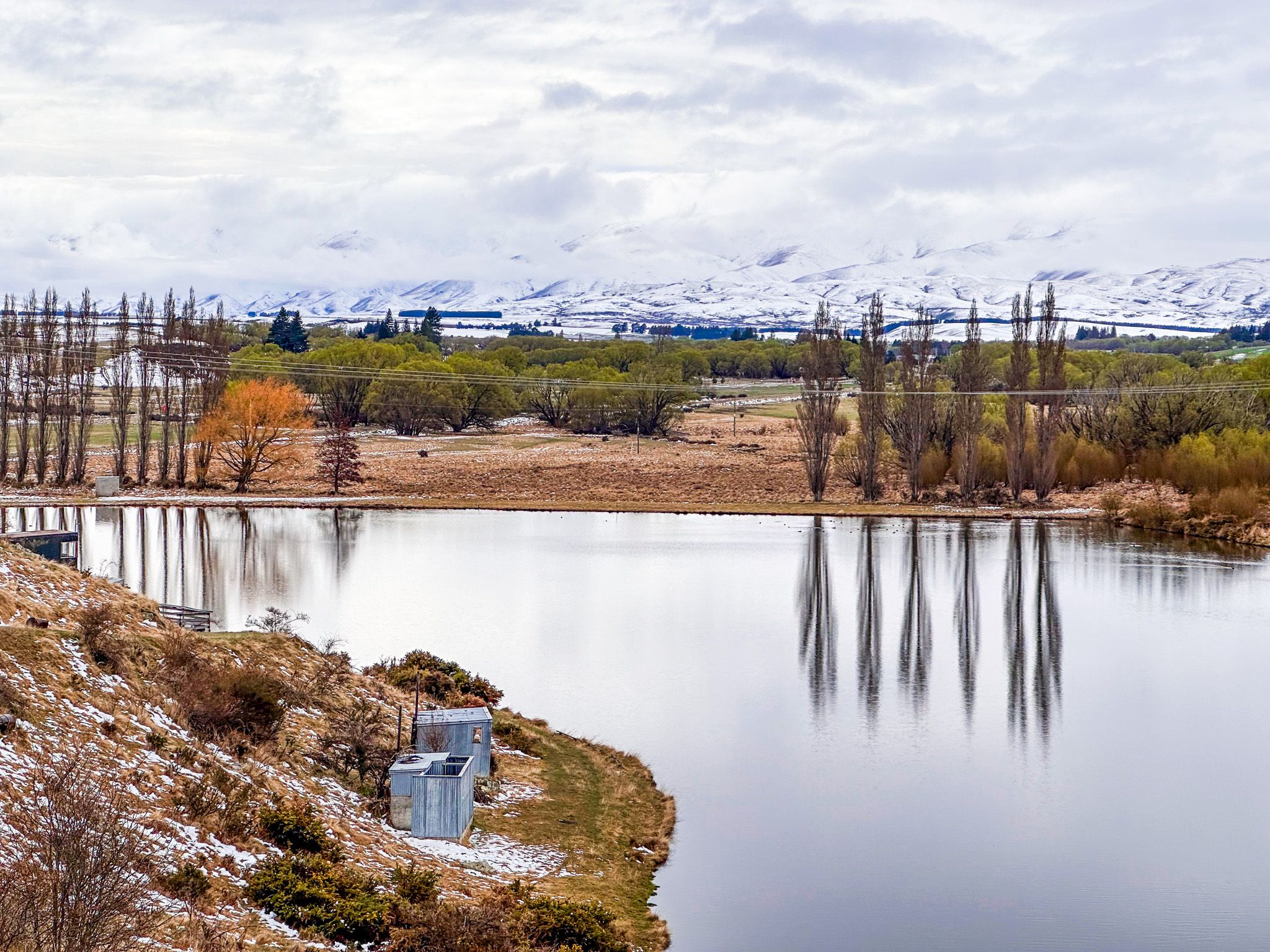
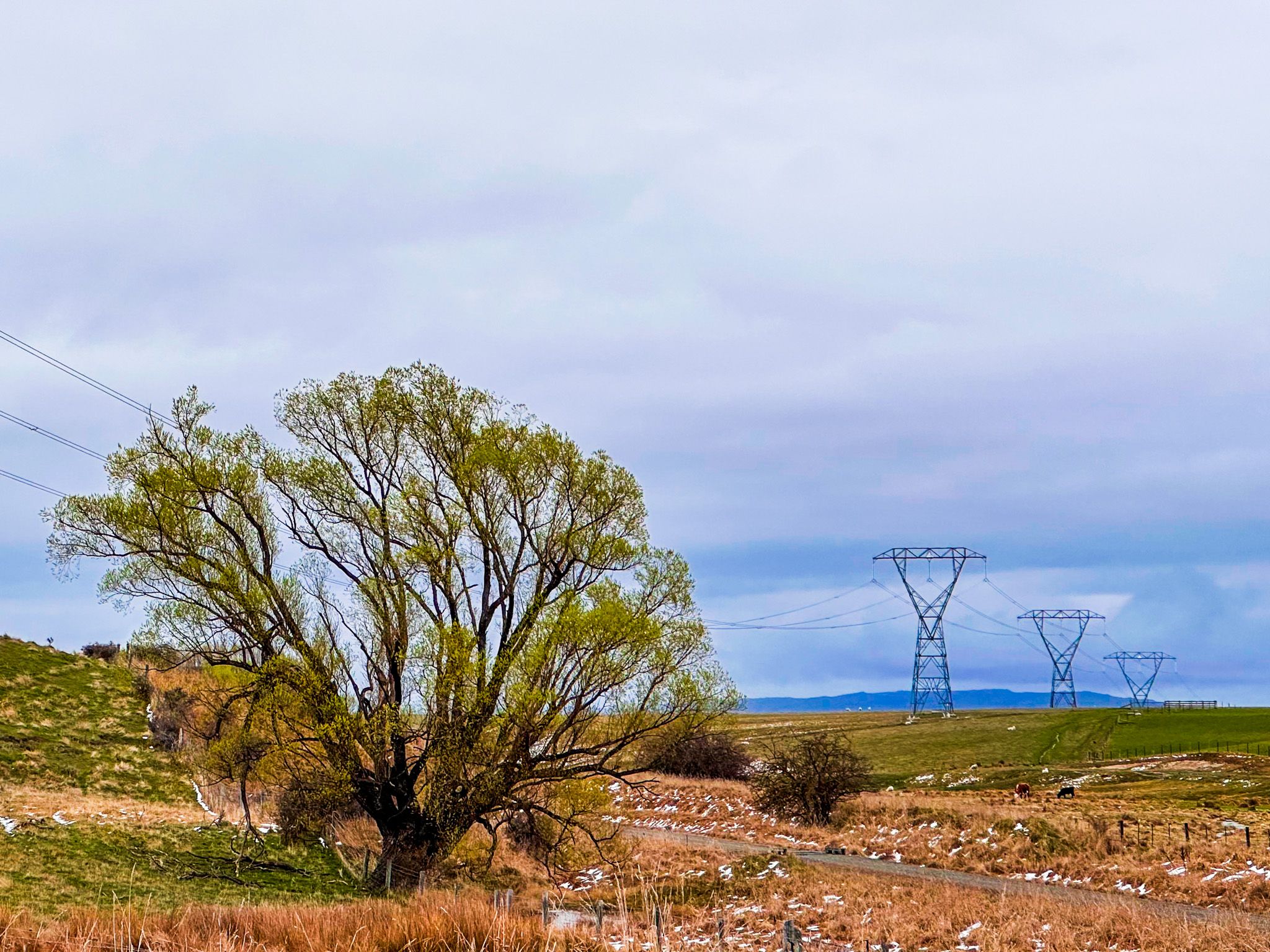
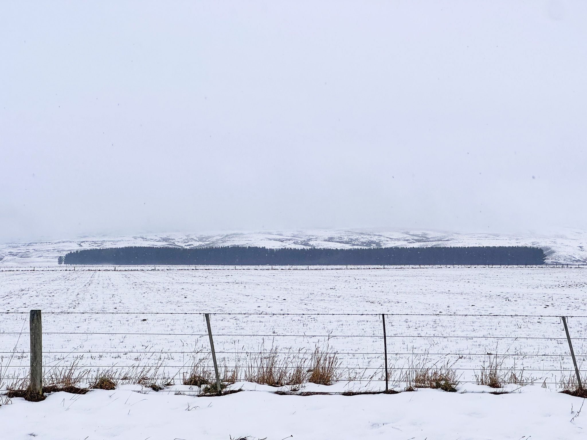
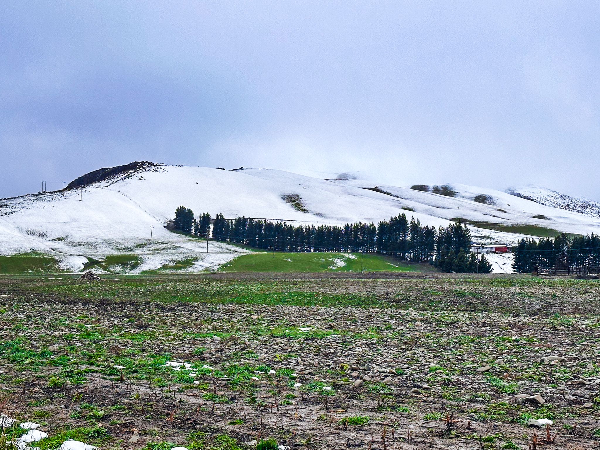
Along with the Manuherikia Valley and Maniototo Plain, the valley was one of the driest areas in New Zealand. Today, it supports sheep grazing, merino wool, and irrigation-assisted crops. Irrigation is supported by the Ida Burn, a small river running through the valley with a reservoir at the Idaburn Dam, along with the Poolburn Reservoir, high in the Rough Range. The result is a wide, mostly green valley set against a backdrop of golden hills, rich with tussocks at higher elevations.
Exploring the Ida Valley
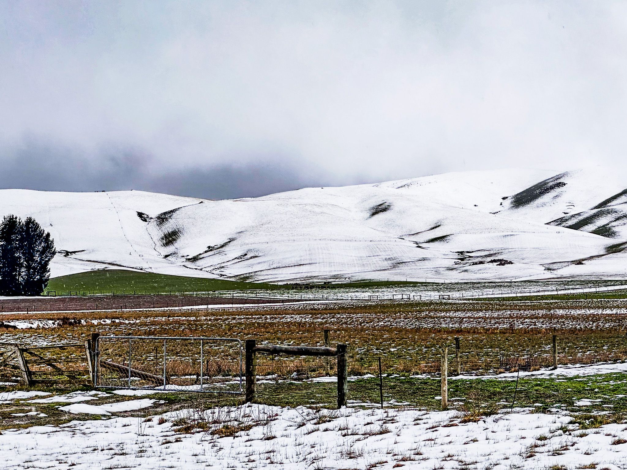
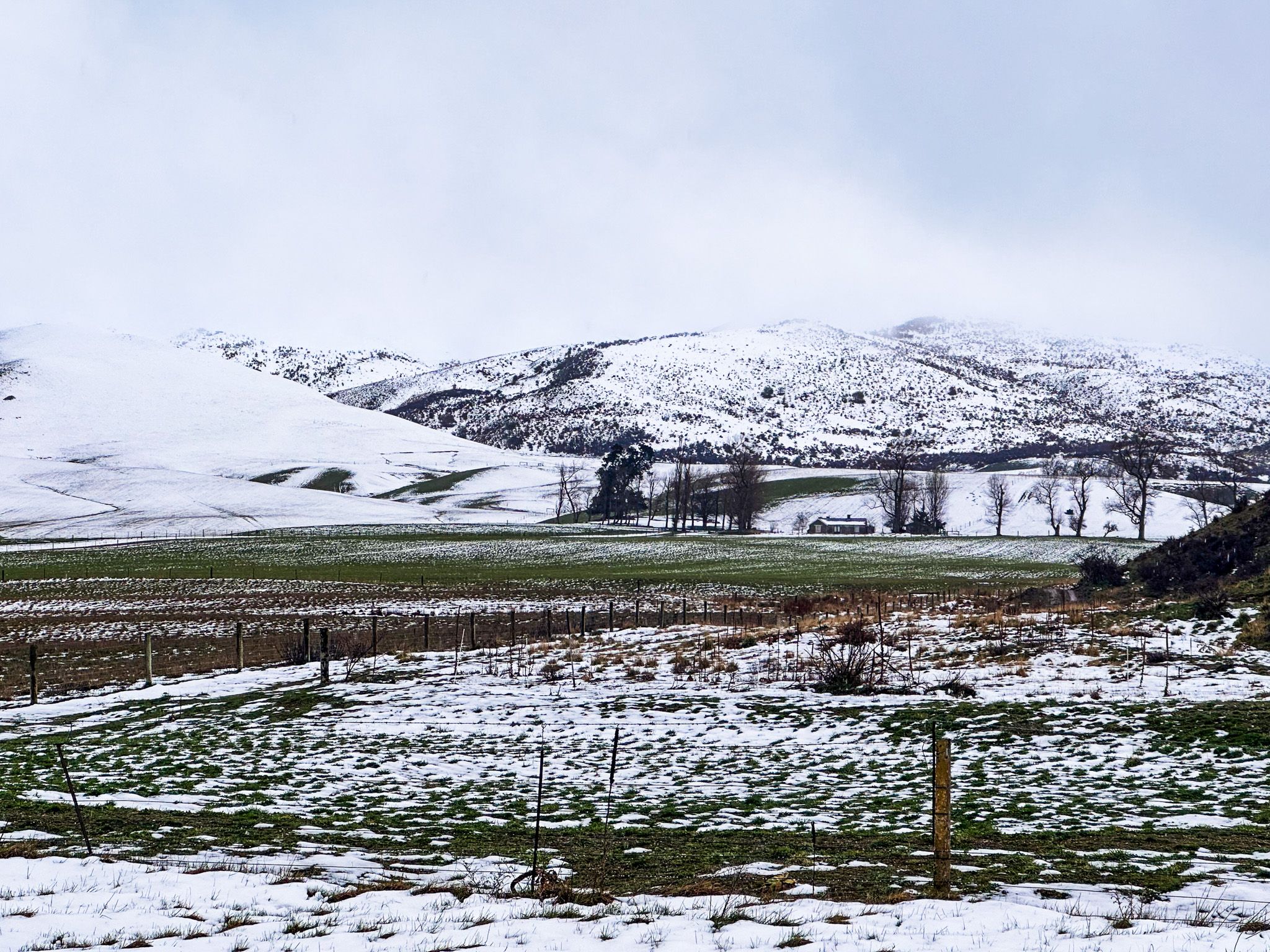
Running between the Manuherikia Valley and the Maniototo Plain, the Ida Valley, 400 metres above sea level, is a long, open basin flanked by Raggedy Range at over 700 metres high to the northwest and Rough Ridge (over 1,000 metres) to the southeast. At the northeast end of the valley are the Ida Hills and Ida Range. Schist uplifts and ancient lakebeds define the valley’s geology. Much of it once formed part of Lake Manuherikia, a vast prehistoric body that left behind fertile sediments and fossil records.
Road access is on Ida Valley Omakau Road, which goes from State Highway 85 at Ōmakau, south over Raggedy Ridge, then northeast along the valley to rejoin State Highway 85 at Hills Creek.
History: Moa, Gold, Irrigation and Ingenious Engineering
Māori had long used the valley for food collection. The name Moa Creek, in the southern end of the valley, was given by the first European arrivals and originated from the abundance of moa bones in the area, the large flightless bird that was hunted to extinction by the 1600s.
Europeans had been present in the region with sheep and cattle by the 1850s, before the gold rush of the early 1860s. Early on, the gigantic 97,000-hectare Ida Valley Station controlled much of the area. One of the owners, Edward Stafford, became the third Prime Minister of New Zealand in 1856. In the early 1860s, the gold rush was on, and the Old Dunstan Road was pushed through the highlands of Central Otago to connect Dunedin to the goldfields.
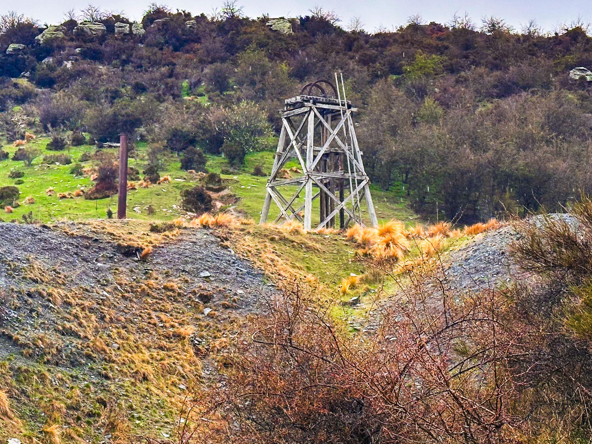
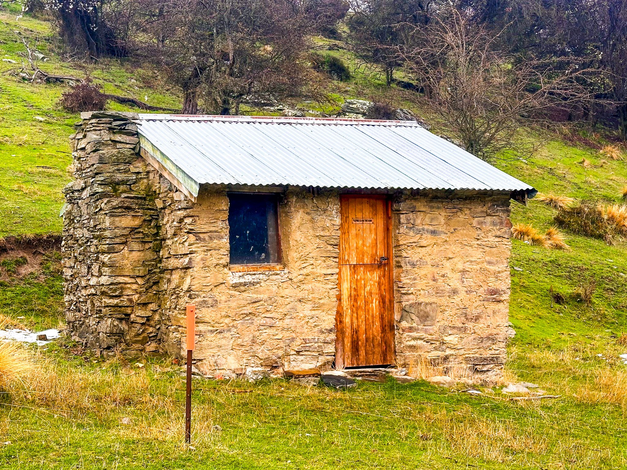
The valley did have some gold of its own, with a working mine at Golden Progress, just northeast of Oturehua, and diggings with a support town at Moa Creek. Pack tracks, supply routes and coaching stops dotted the rugged mountains on either side of the valley.
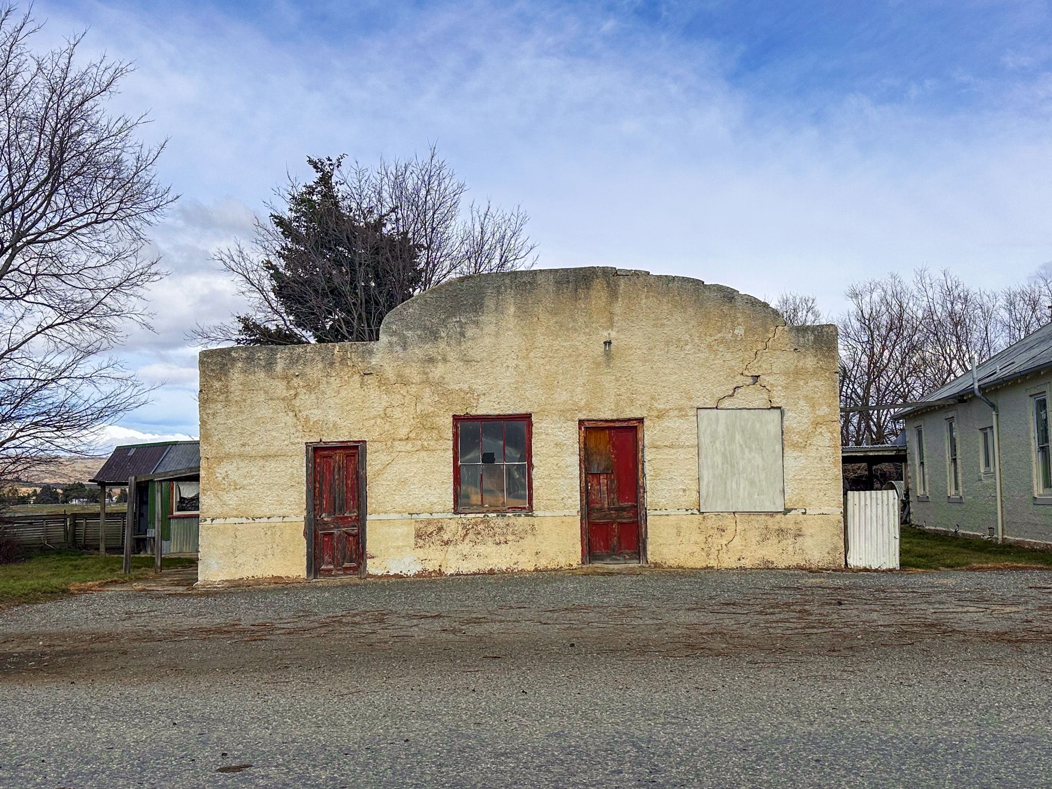
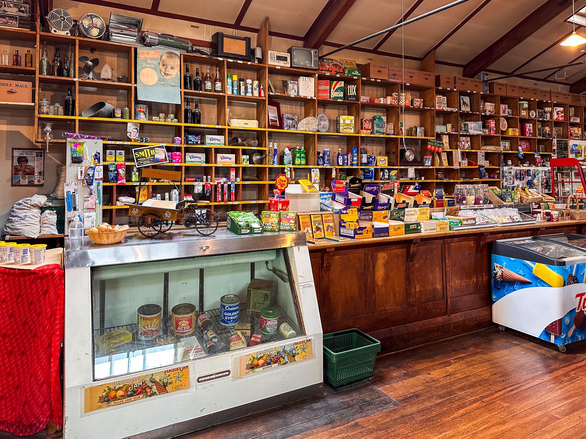
Oturehua, the valley’s main surviving settlement, hosted hotels, stores and rail workers by the early 1900s. Today, the town has one of the oldest general stores in New Zealand and is a prime location on the Otago Central Rail Trail, which runs through the northern end of the valley.
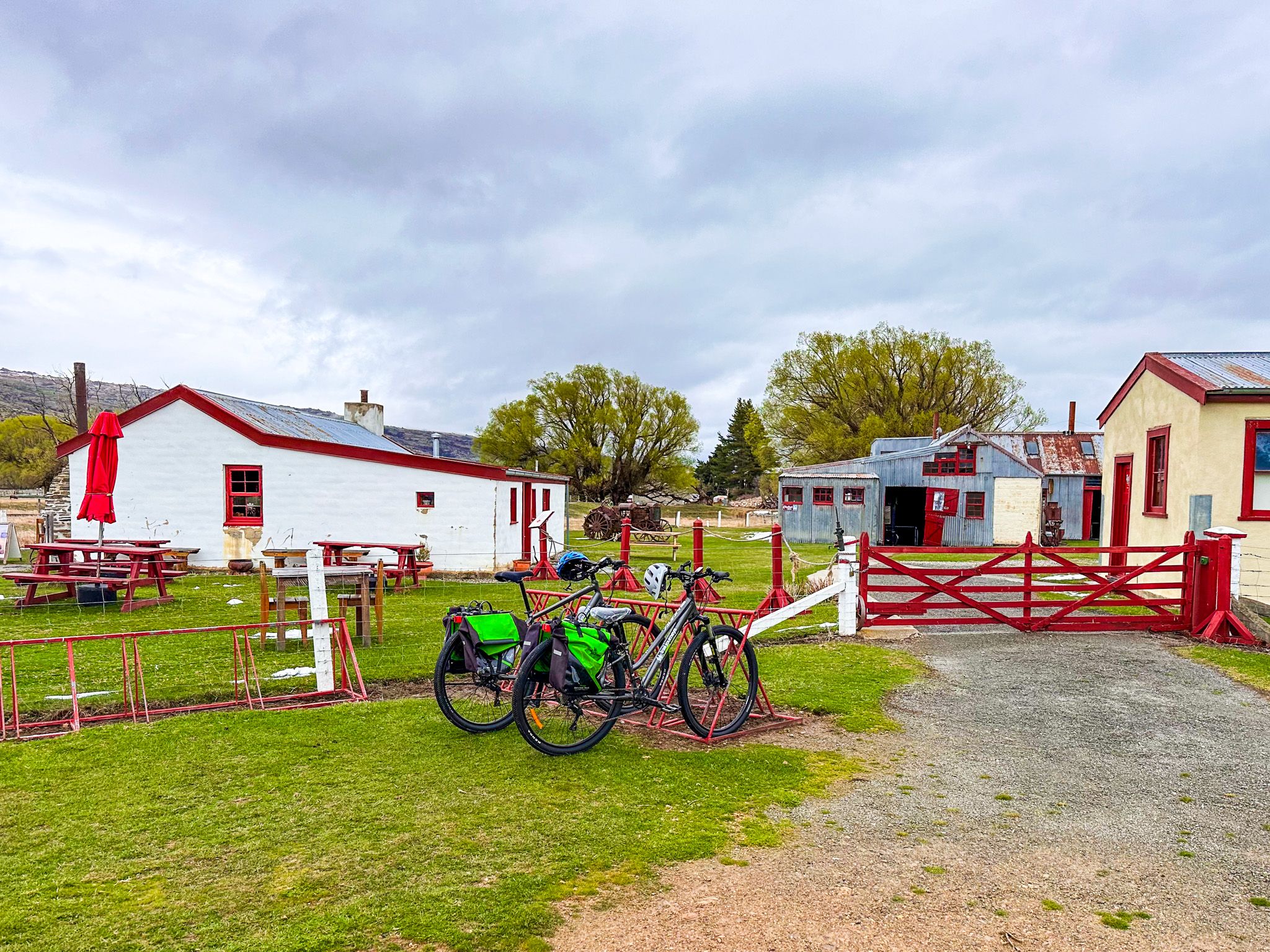
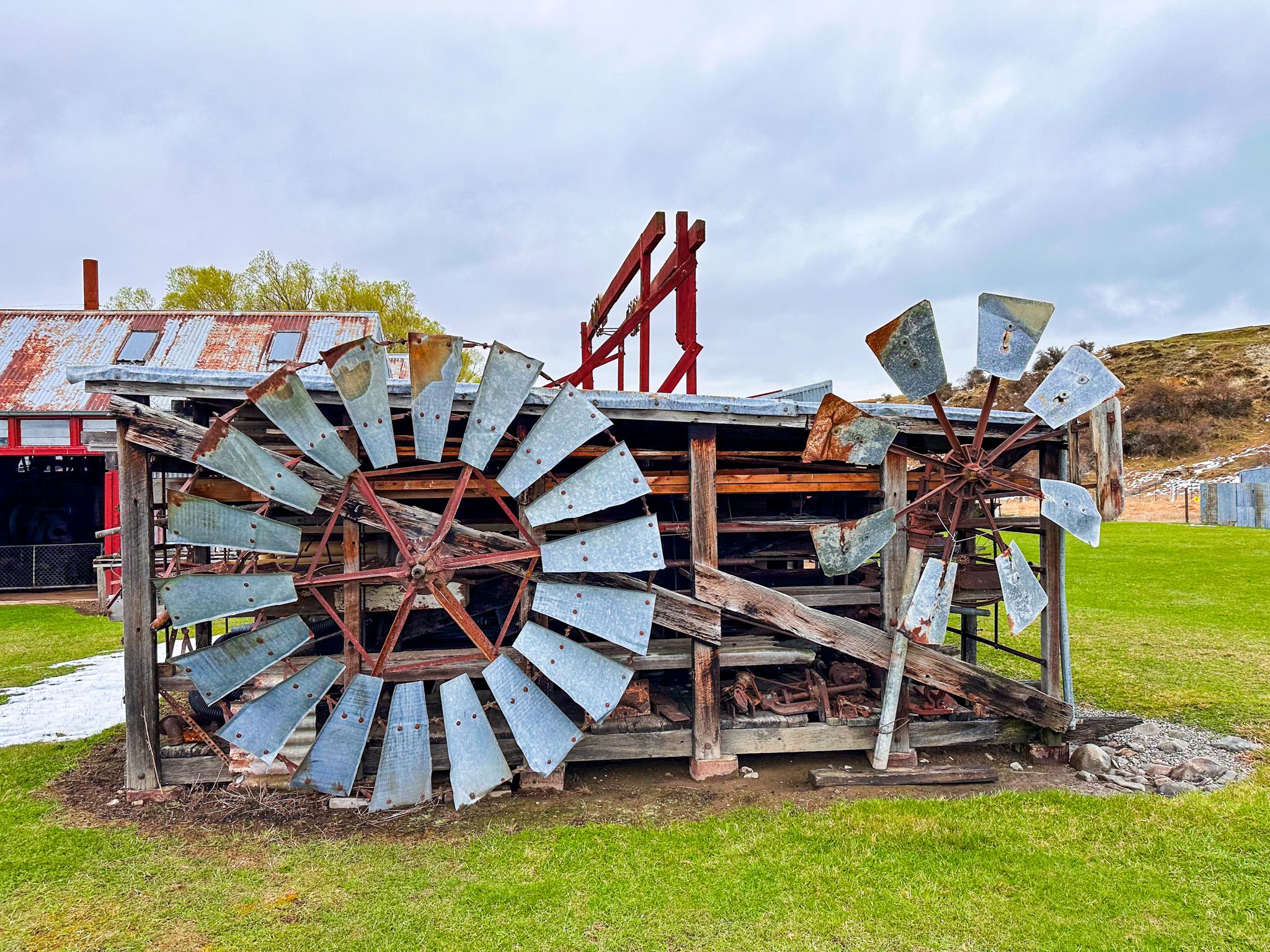
The valley was also home to the Hayes family, whose legacy includes the Hayes Engineering Works. This was a unique rural invention hub that developed tools like the Hayes wire strainer, still in use today. Many original structures remain and can be visited, along with a great cafe.
Over the years, the naturally golden tussock valley, discovered by the first pastoral settlers, has been transformed into a green landscape through irrigation. The Idaburn Dam is the most accessible of the irrigation reservoirs in Central Otago. At the southern end of Rough Ridge, rough gravel roads lead to the Poolburn, Upper Manorburn, and Greenland reservoirs. These reservoirs are particularly picturesque on a calm day with reflections of the sky, schist and tussock.
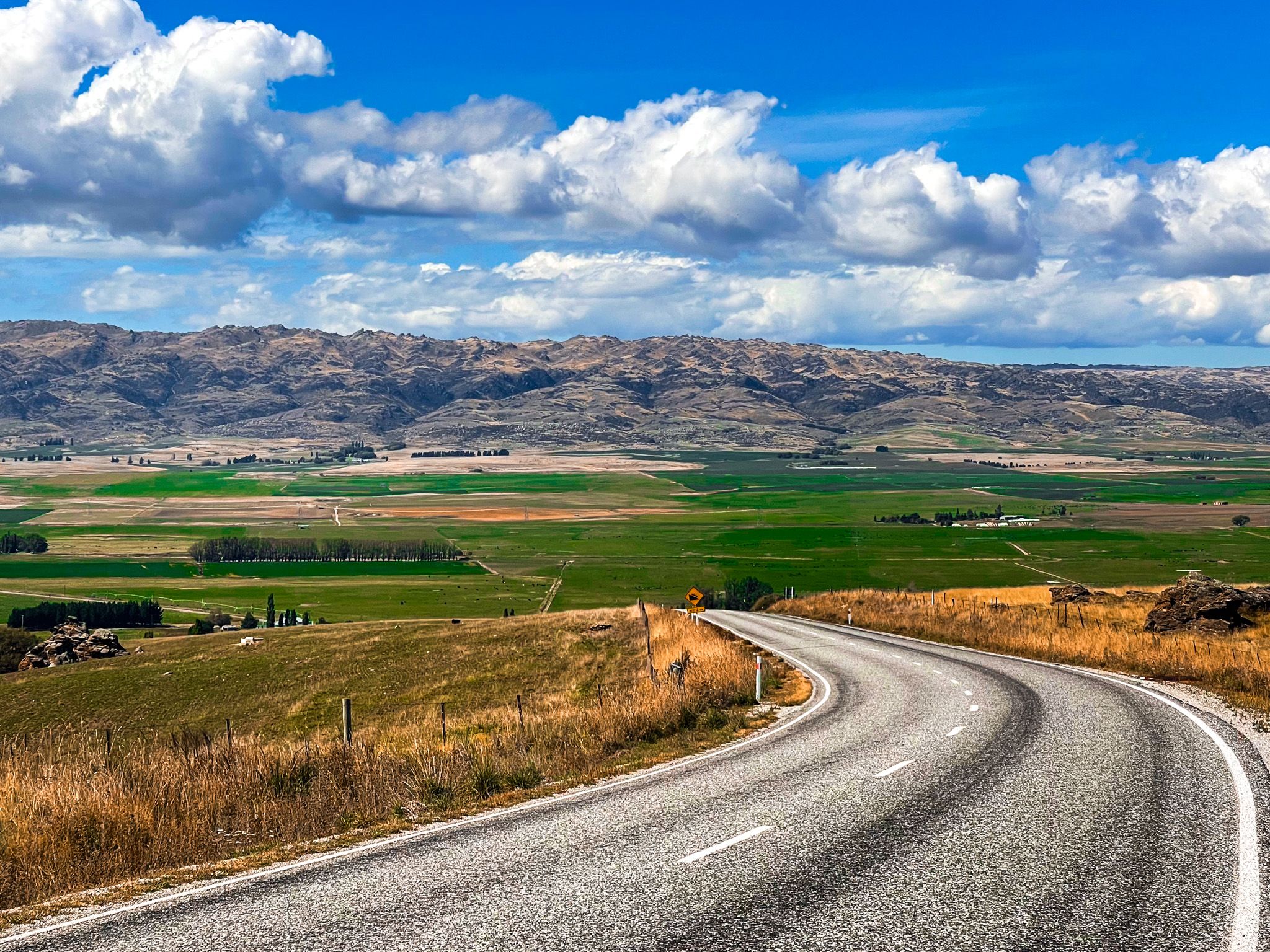
The Scenic Valley Loop Drive
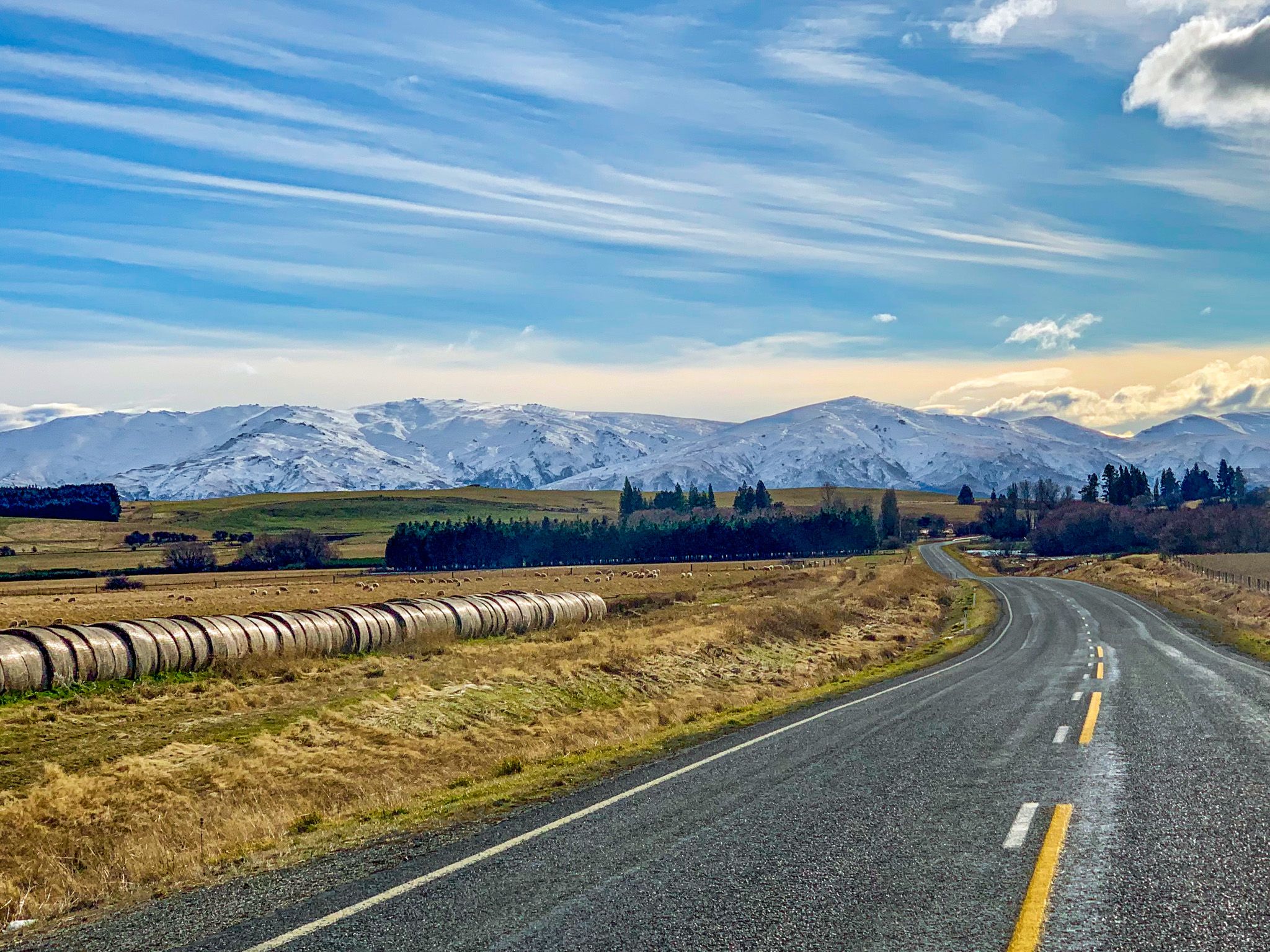
The Ida Valley is easily explored as part of a loop drive from Ōmakau. Travel northeast through the Manuherikia Valley, with the magnificent 2,000 metre Hawdun Range to your front. Visits to St Bathans and Falls Dam are side-trip options. Then cross over a low point on Rageddy Range to Hills Creek on State Highway 85. From there, follow the Ida Valley–Omakau Road southwest, then head north over the Rageddy Range back to Ōmakau. This loop allows access to Golden Progress, Oturehua, Hayes Engineering and Idaburn Dam, plus the full range of Ida’s landscapes.
How to Get There
Access the Ida Valley from the north via Omakau and Ida Valley–Omakau Road, or from the south via State Highway 85 at Hills Creek. You can also drive over the Raggdey Range from Galloway near Alexandra over unsealed Crawford Hills Road. The Otago Central Rail Trail crosses the range from Lauder, northeast of Ōmakau.
For a more remote adventure, you can drive to Poolburn Reservoir on the Old Dunstan Road. This is rough, but it can be done in 2WD in good weather, and the tussock and rocky schist formations are spectacular. Another nearby option is to visit Ophir and its historic bridge.