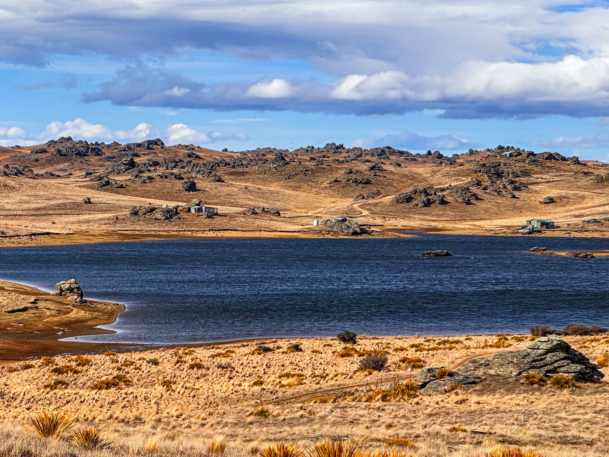
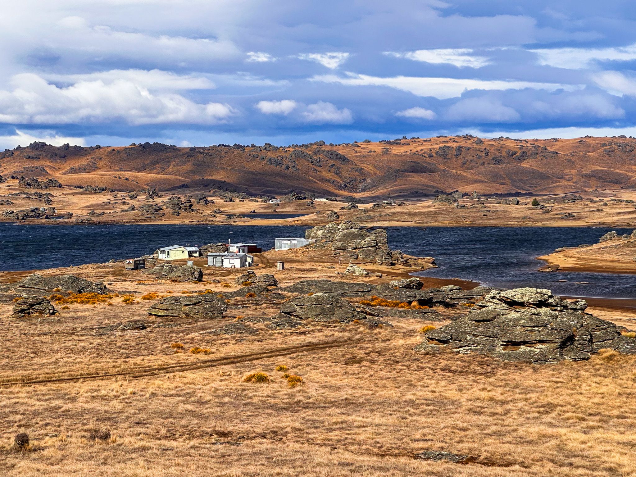
A high country reservoir in rugged scenery
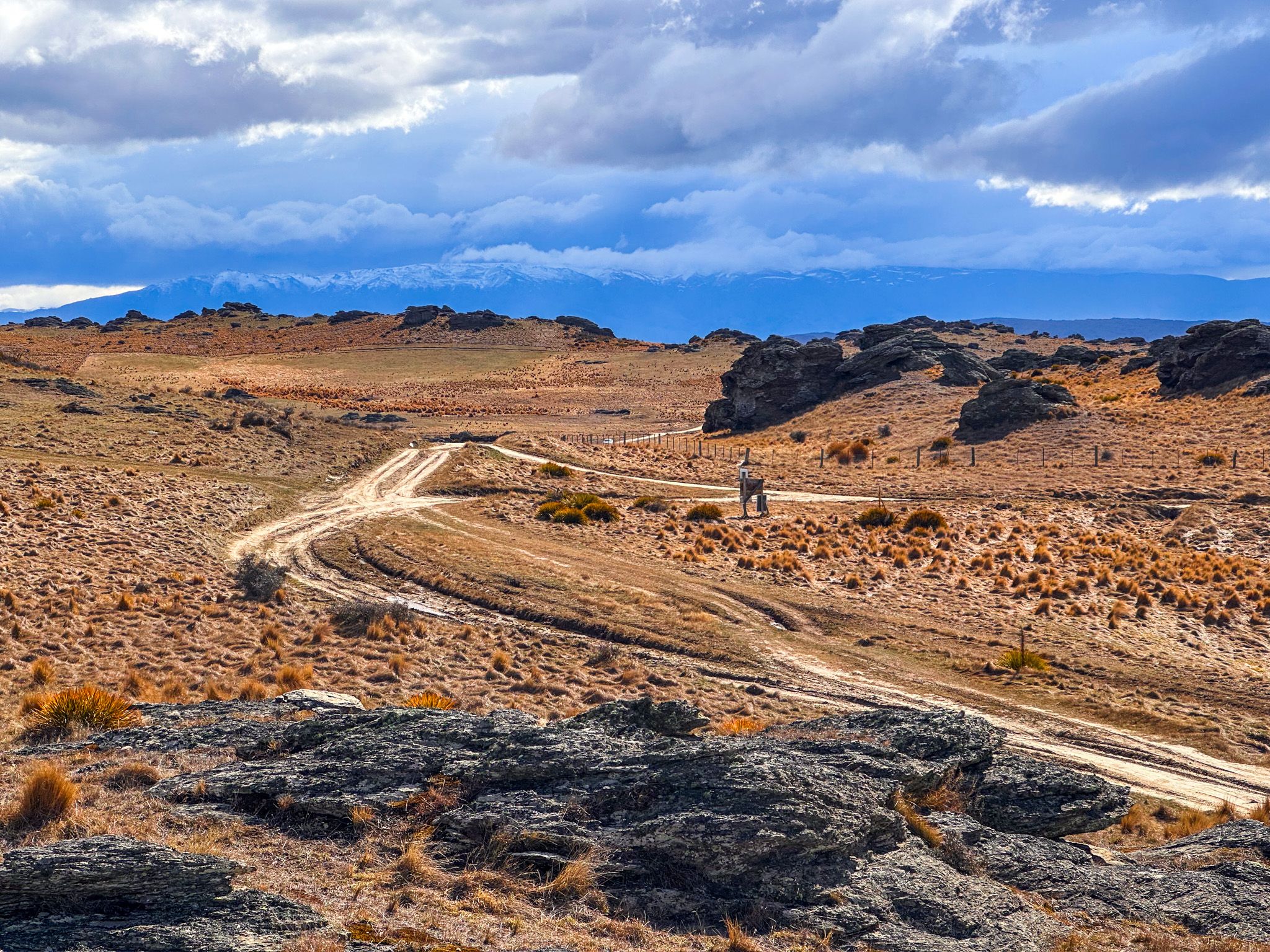
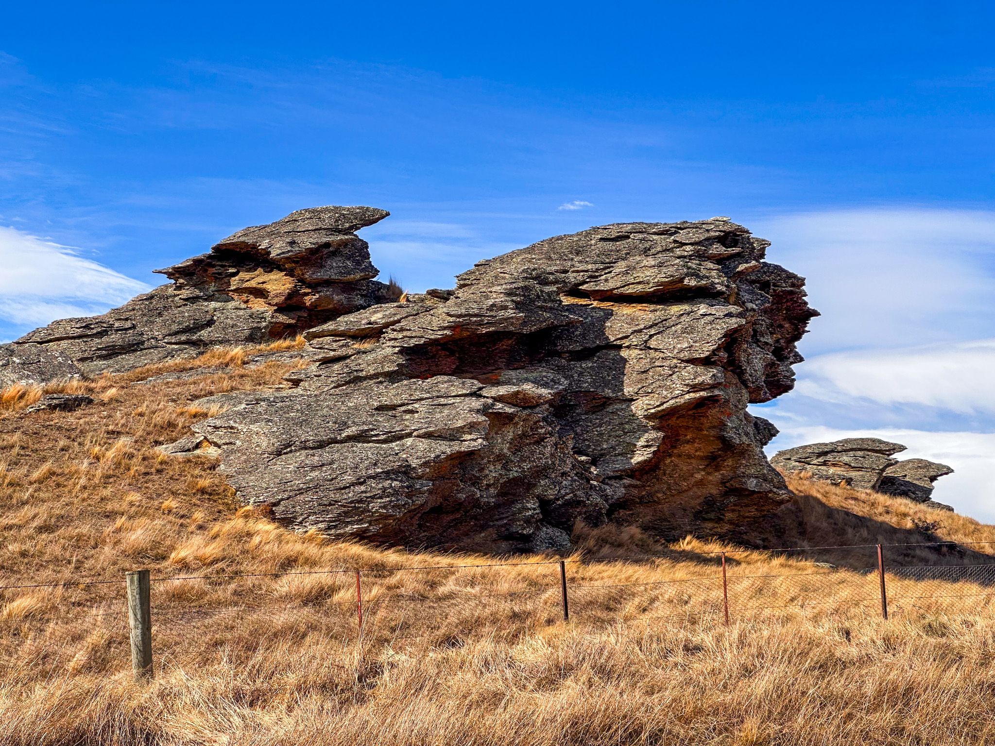
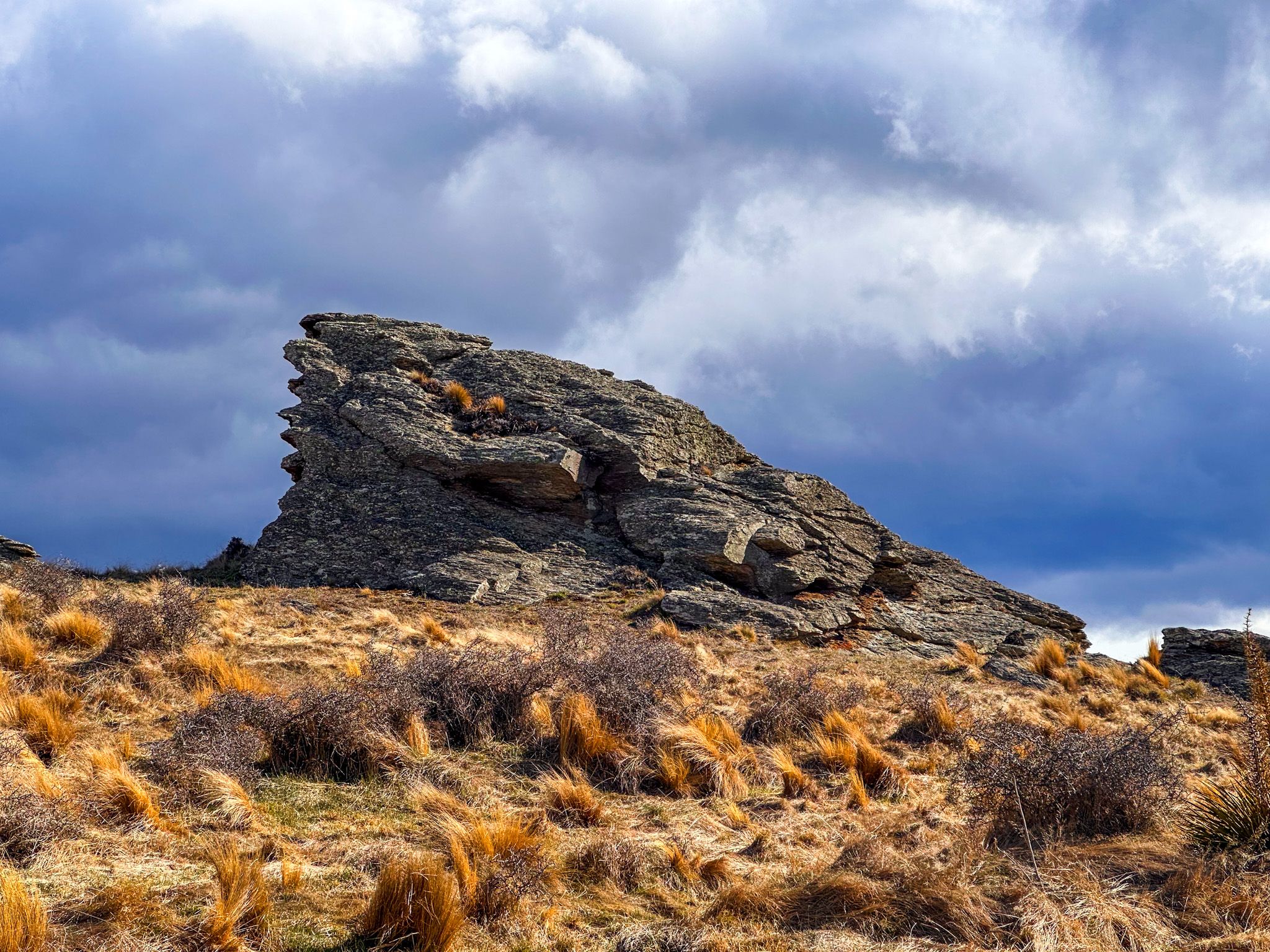
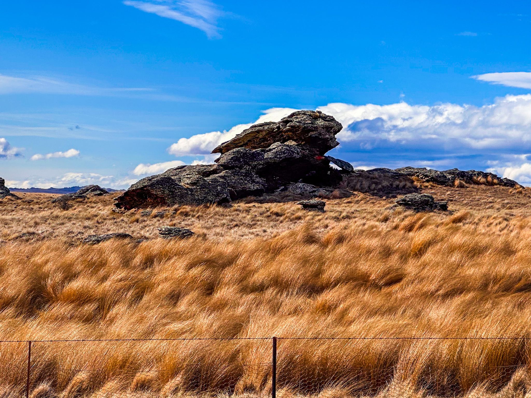
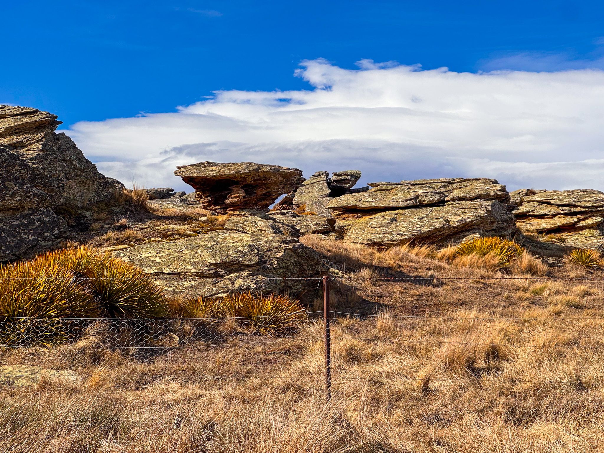
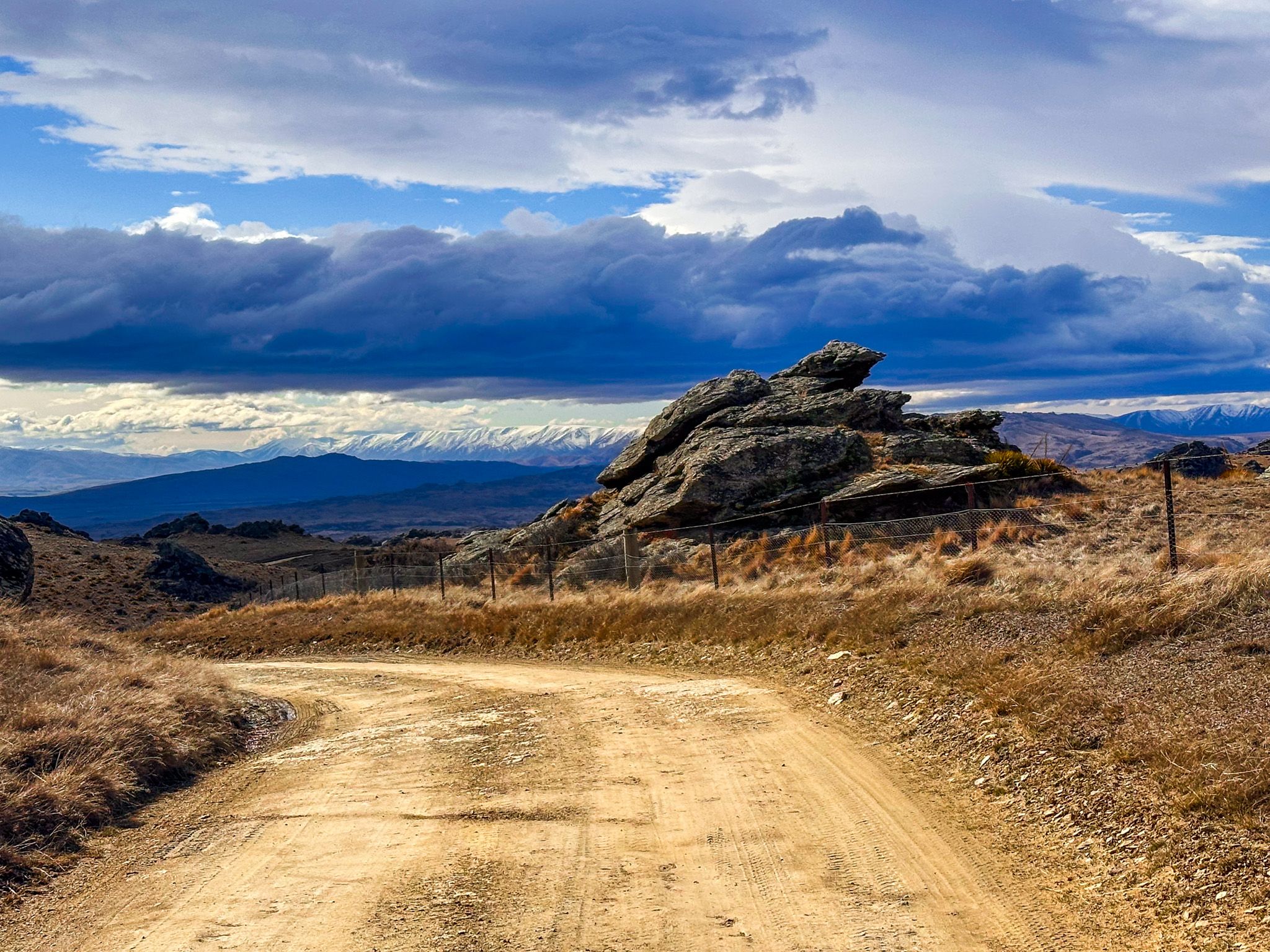
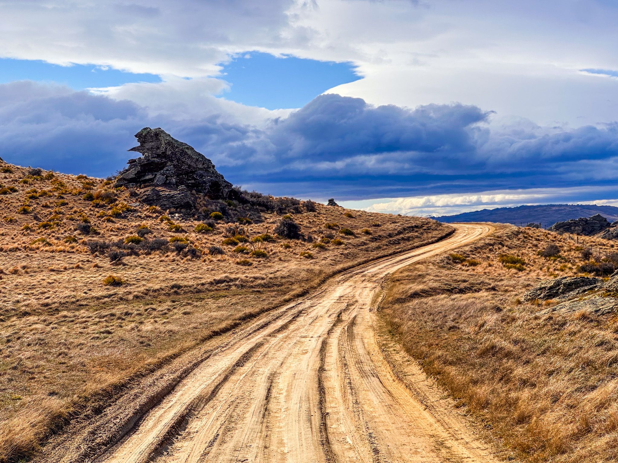
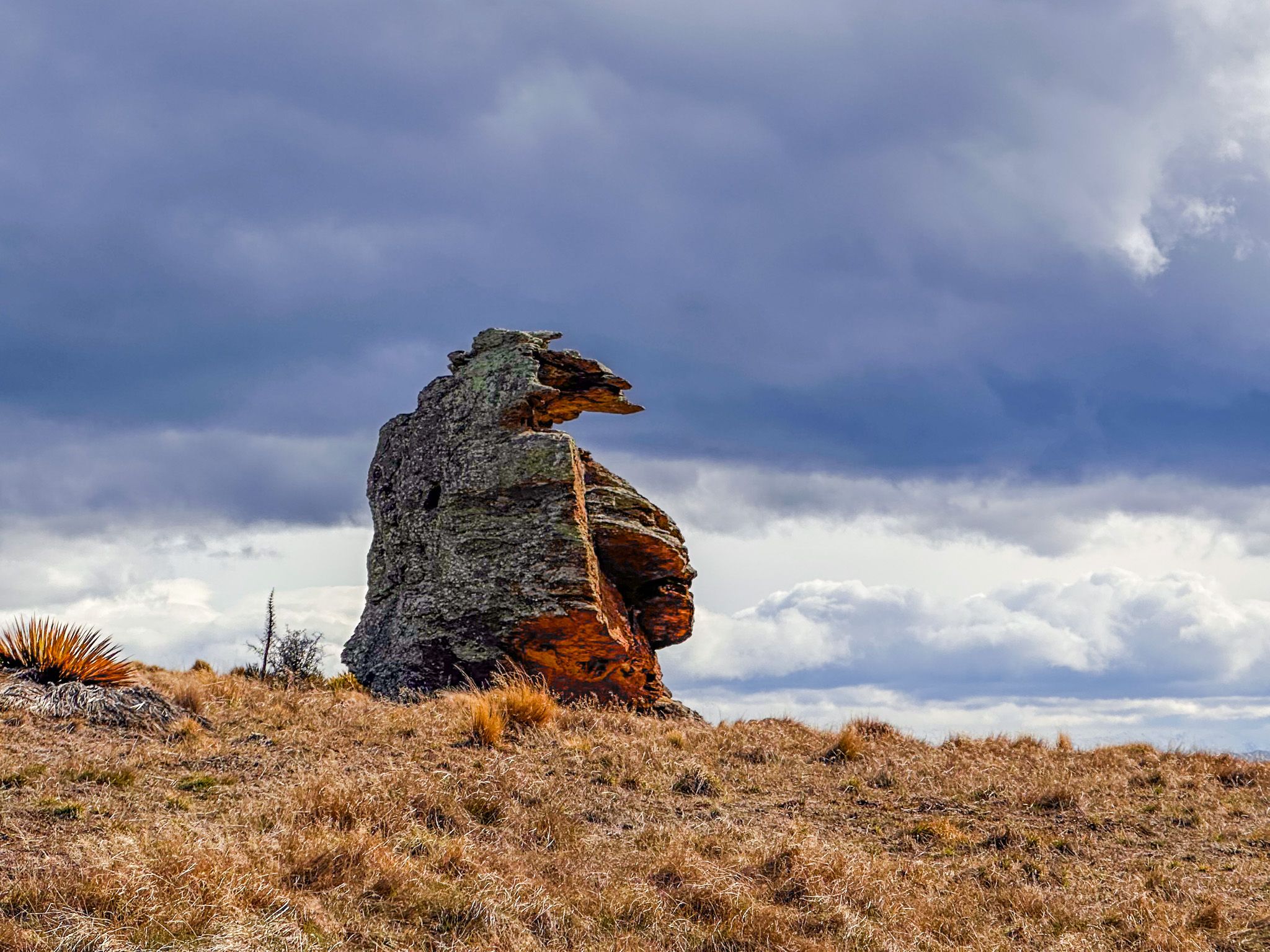
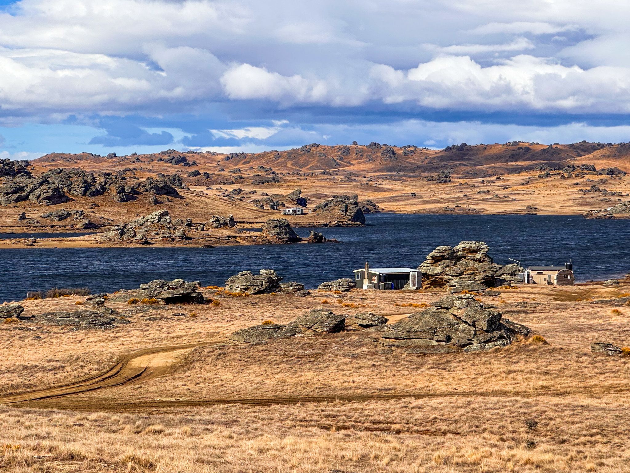
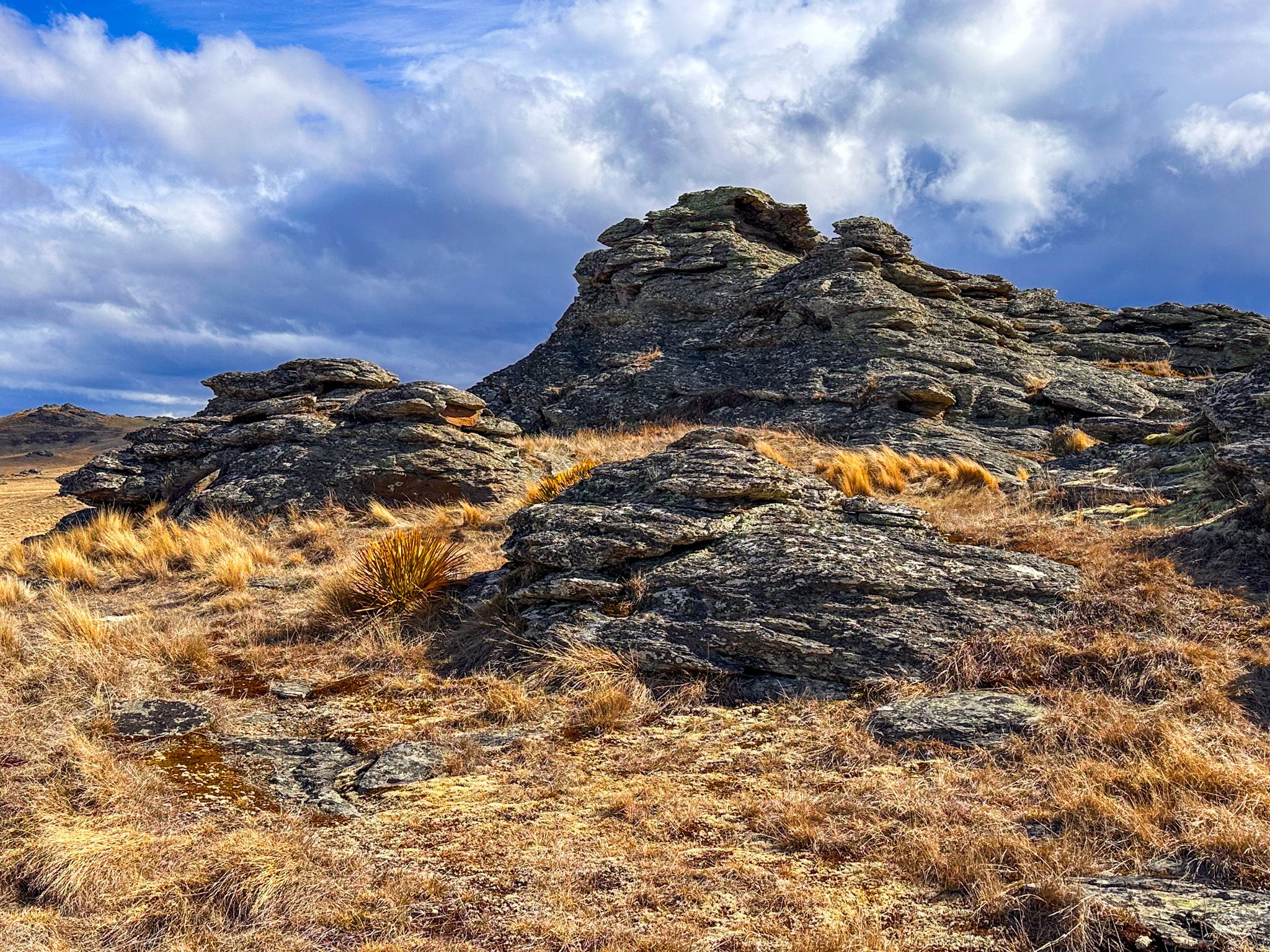
Poolburn is one of several reservoirs in the highlands around Central Otago. It lies at the south end of the Rough Range, around 830 metres above sea level. From the reservoir, the Pool Burn flows from the dam and winds its way down to the Ida Valley at an elevation of 440 metres. The reservoir sits in a remote, rocky basin, surrounded by dramatic schist rock formations and golden tussock country. When full, the reservoir covers approximately 300 ha. It is popular for trout fishing with a handful of cribs scattered around the edge.
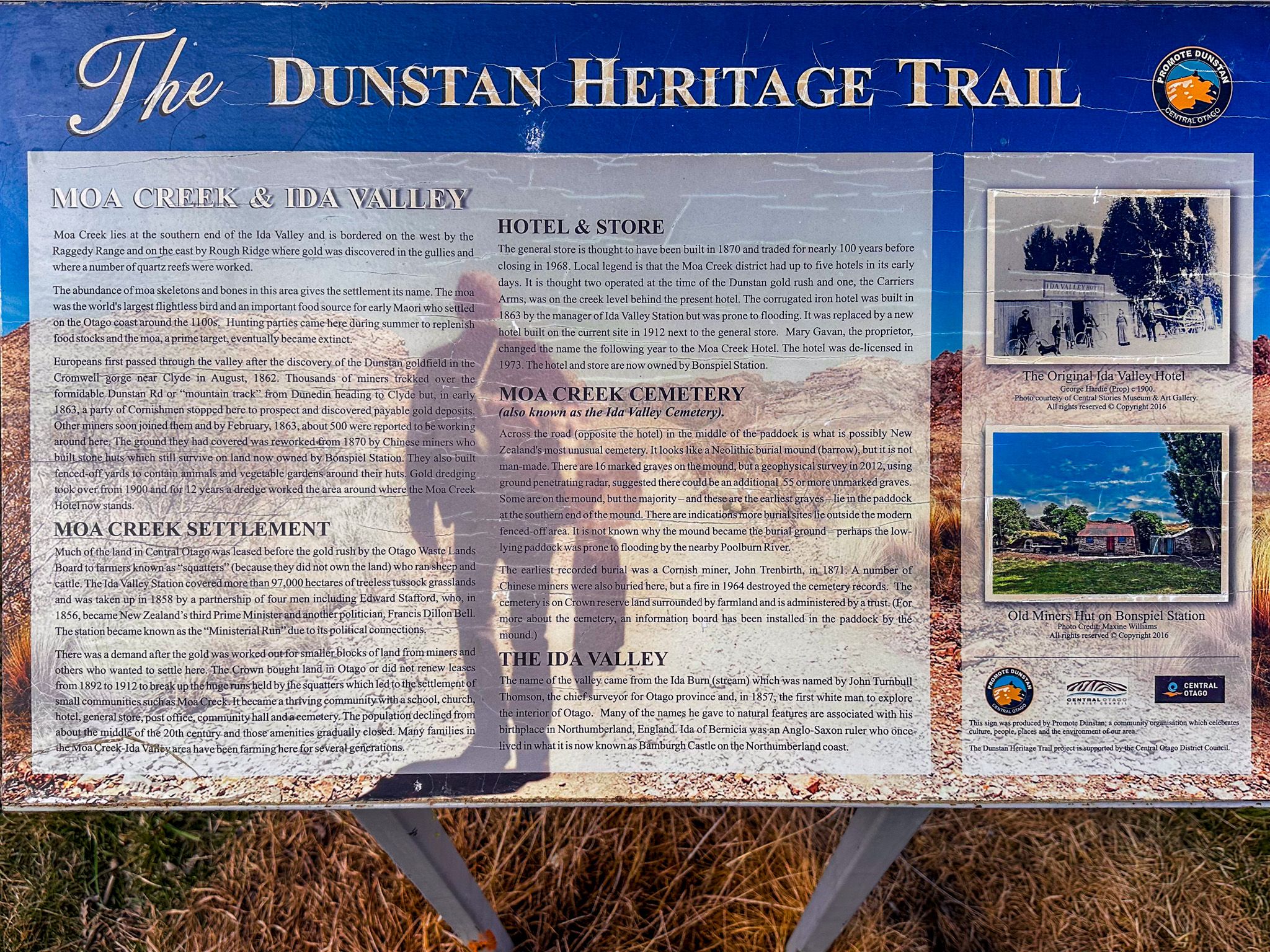
The Story of Moa Creek
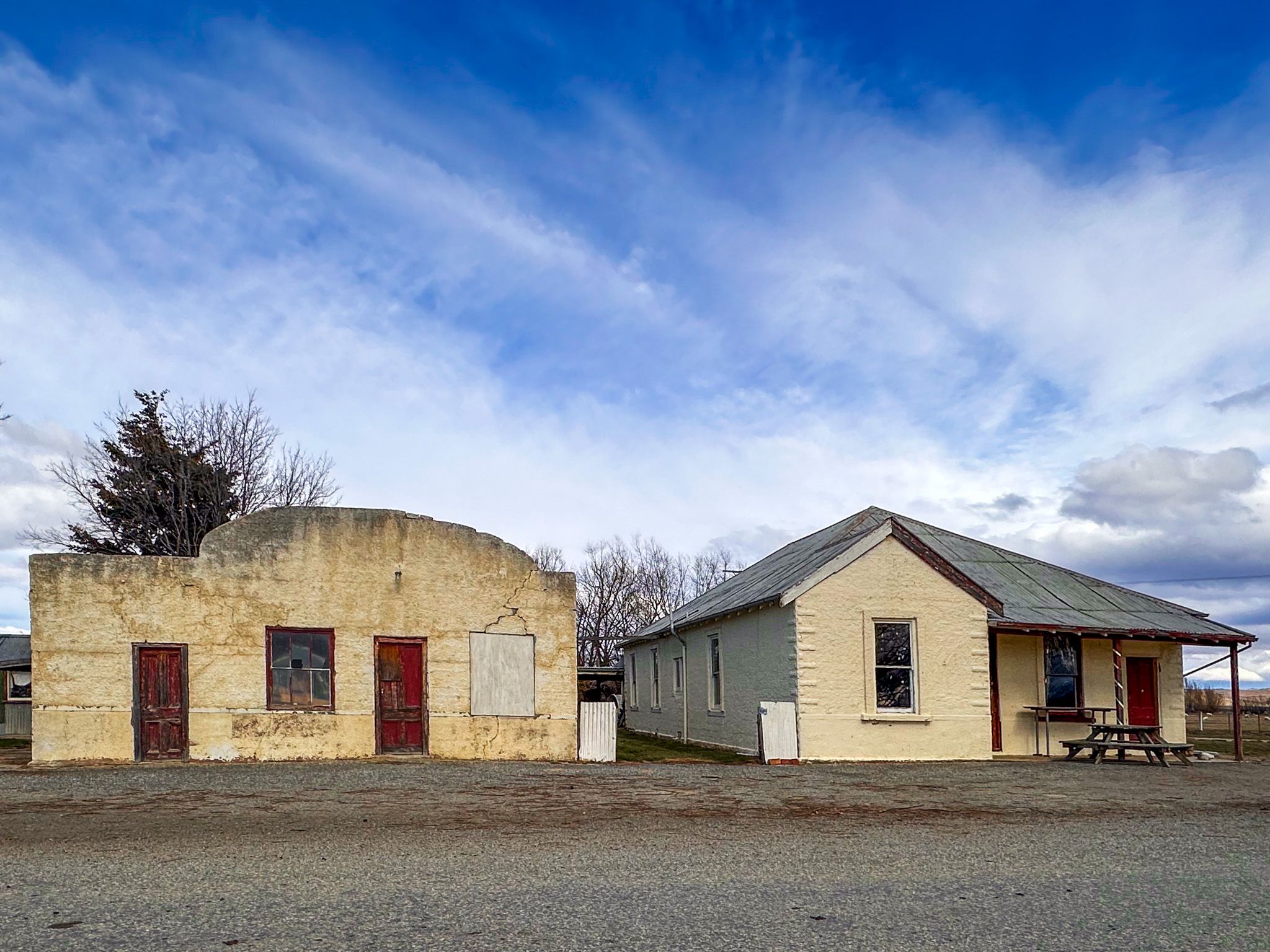
The Old Dunstan Road takes you up to Poolburn from its intersection with Webster Lane and Smalls Creek Road at Moa Creek. Moa Creek was once a town, and there are two historic buildings and an information panel next to the intersection. Opposite the intersection is access to the historic Moa Creek Cemetery, which sits on a hillock about 140 metres across a paddock from the road.
Gold was discovered in Moa Creek in the 1860s, and 500 men were soon there. Chinese miners arrived in the 1870s to rework the area, and dredging operations began on the creek in the early 1900s. At its peak, Moa Creek had five hotels; however, the town eventually faded away, and the last hotel disappeared in 1973, although the derelict building survives.
History and Fishing
Poolburn was built in the early 1930s, partly as an employment project during the Great Depression. It provides irrigation water for Ida Valley farms and was constructed as a concrete arch dam, 100 feet high and 480 feet long. During construction, an unfortunate scaffolding collapse caused injuries, and at least one fatal fall was recorded. The dam floods a gully that once hosted a stone hotel run by a woman known as Hobart Town Annie, which dates back to when the Old Dunstan Road was a multi-day stagecoach route.
Today, Poolburn Reservoir is well known among anglers for brown trout, and there are a number of cribs scattered around the reservoir.
How to Get There
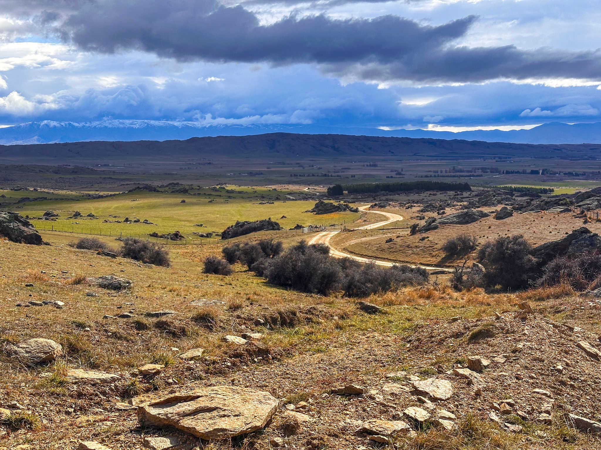
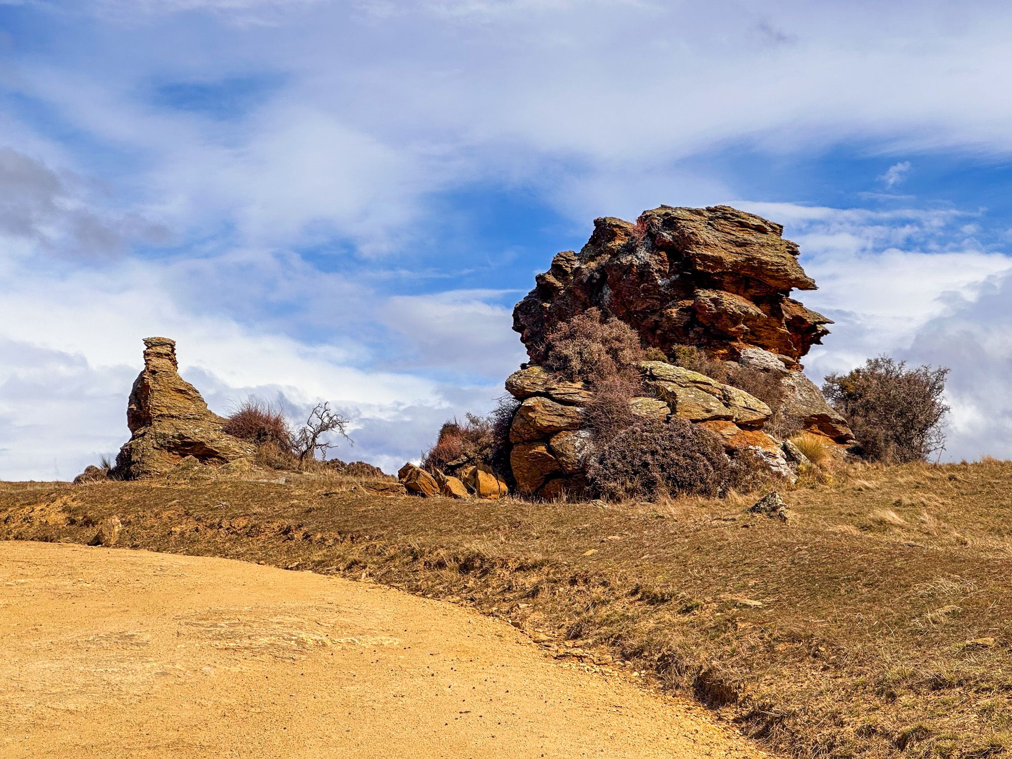
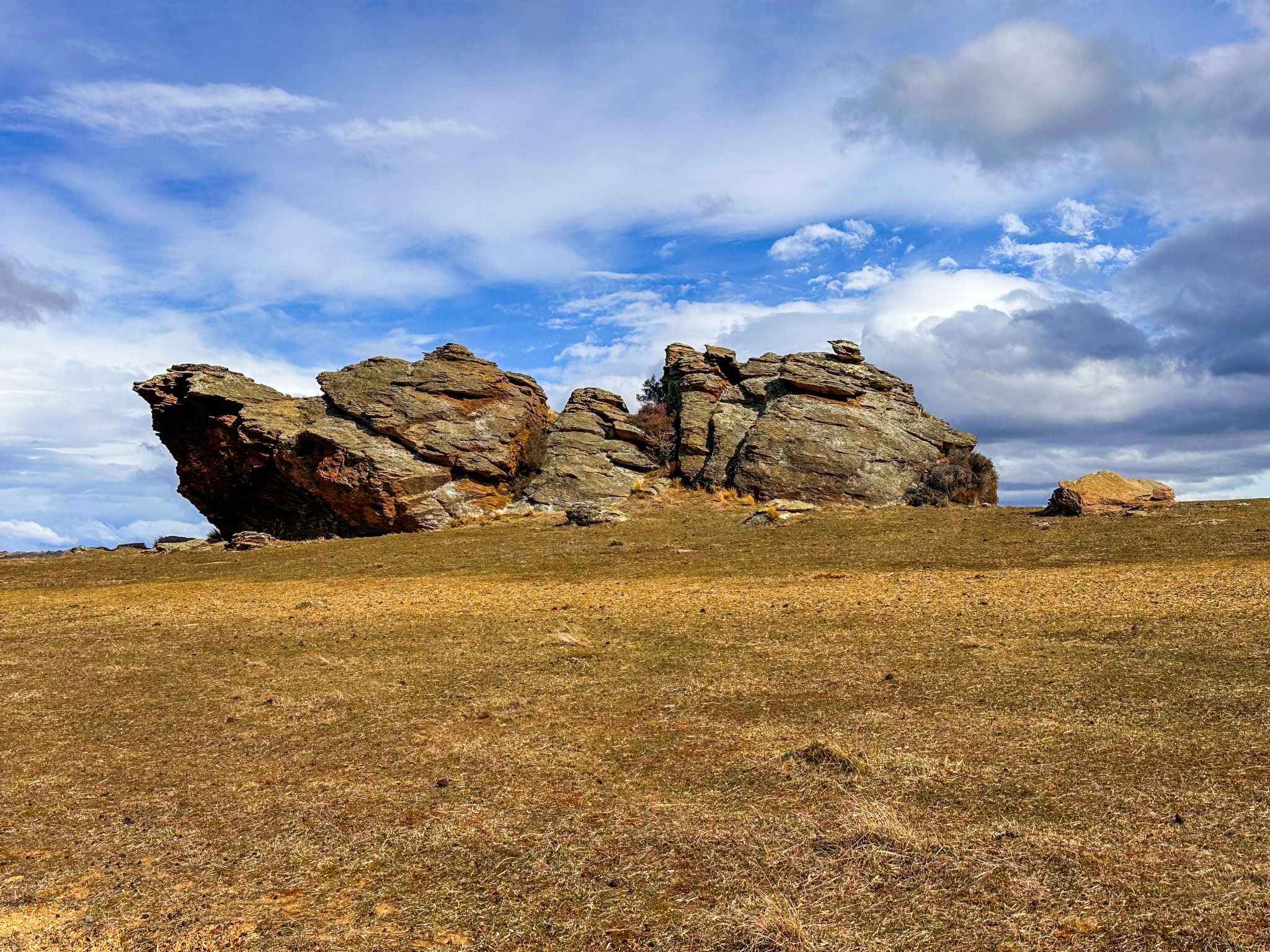
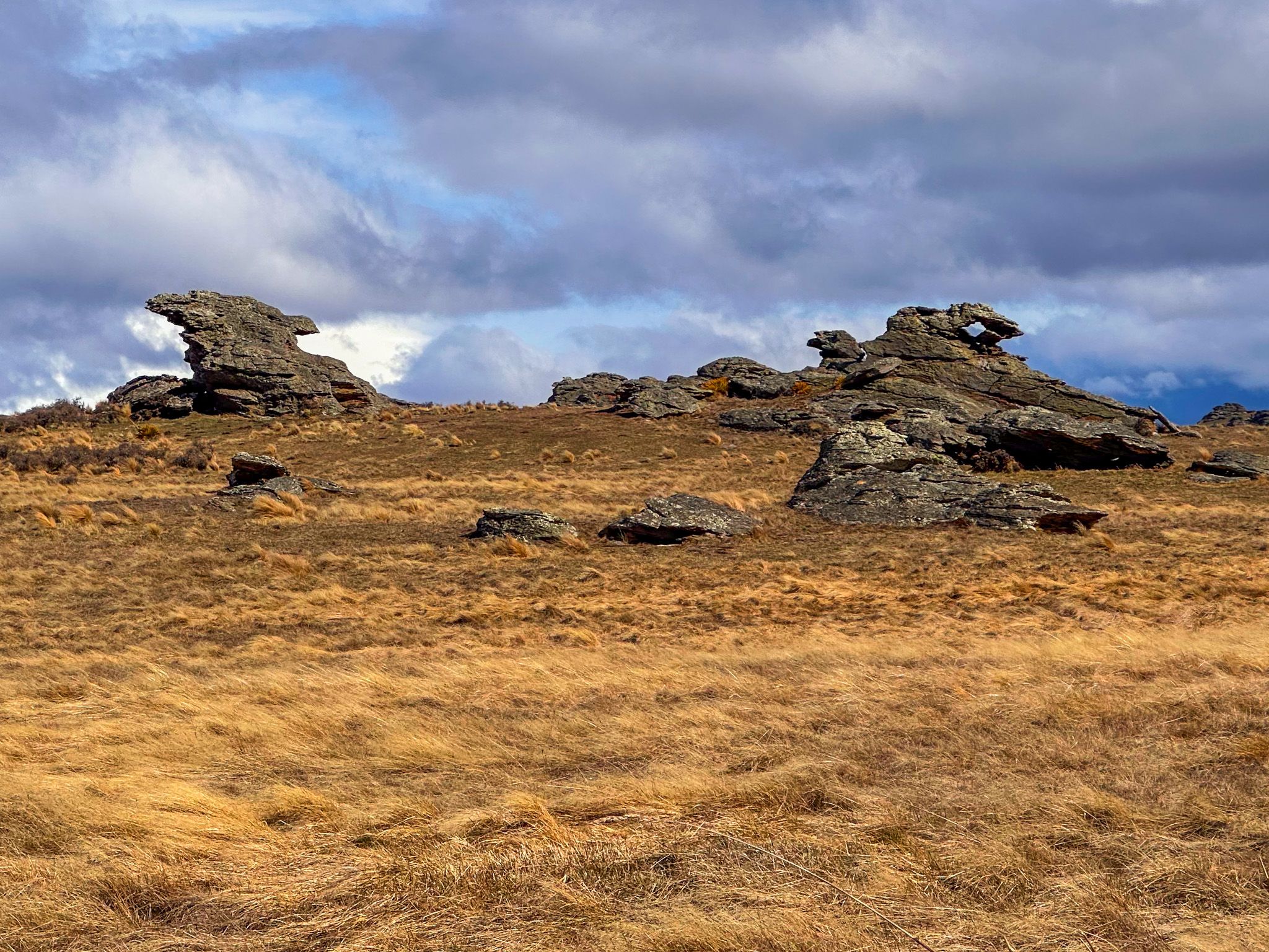
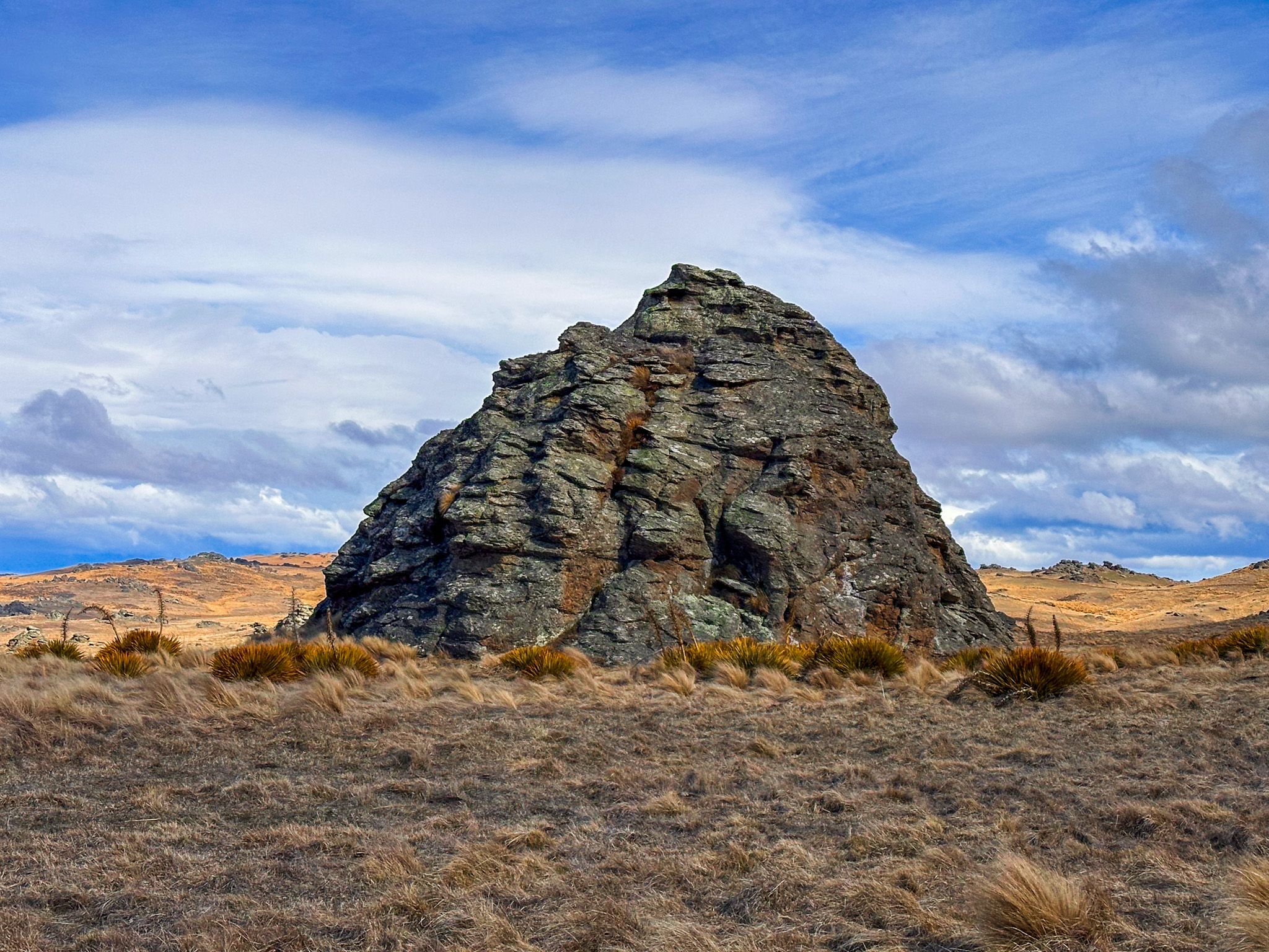
From Ōmakau, follow Ida Valley–Omakau Road over the Raggedy Range, then turn southwest onto Poolburn Moa Creek Road shortly after entering the Ida Valley. Turn east onto gravel Webster Lane, then south onto Old Dunstan Road. Continue for 12 km on the rough and often narrow road to the reservoir. The combination of schist rocks, many with unusual shapes, and golden tussock is outstanding.
Old Dunstan Road also continues east to the Upper Taieri Valley and Paerau. However, this section of the road is rougher and closed from June to October every year.
From Moa Creek, you can also reach the Upper Manorburn Reservoir, a slightly longer but equally remote drive into the highlands of the Rough Range. An easier option is to drive northeast up the valley to Idaburn Dam, Hayes Engineering Works, Oturehua and Golden Progress Mine.