Exploring Karekare Beach
Karekare Beach, located in the Waitākere Ranges in Auckland, is a captivating destination known for its dramatic landscapes and wide black sand surf beach. The beach is situated between Piha and Whatipū, accessible from Piha Road and connected to the region's walking tracks. The drive through the regenerating forest is also stunning, especially the last section to the beach. There are a good number of car parks near the beach, but it can get very busy in the summer, so avoid weekends if you can.
Discovering Karekare Beach
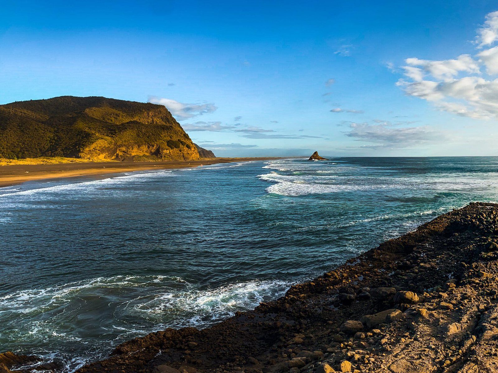
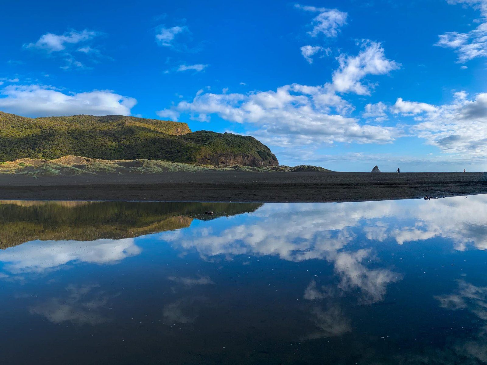
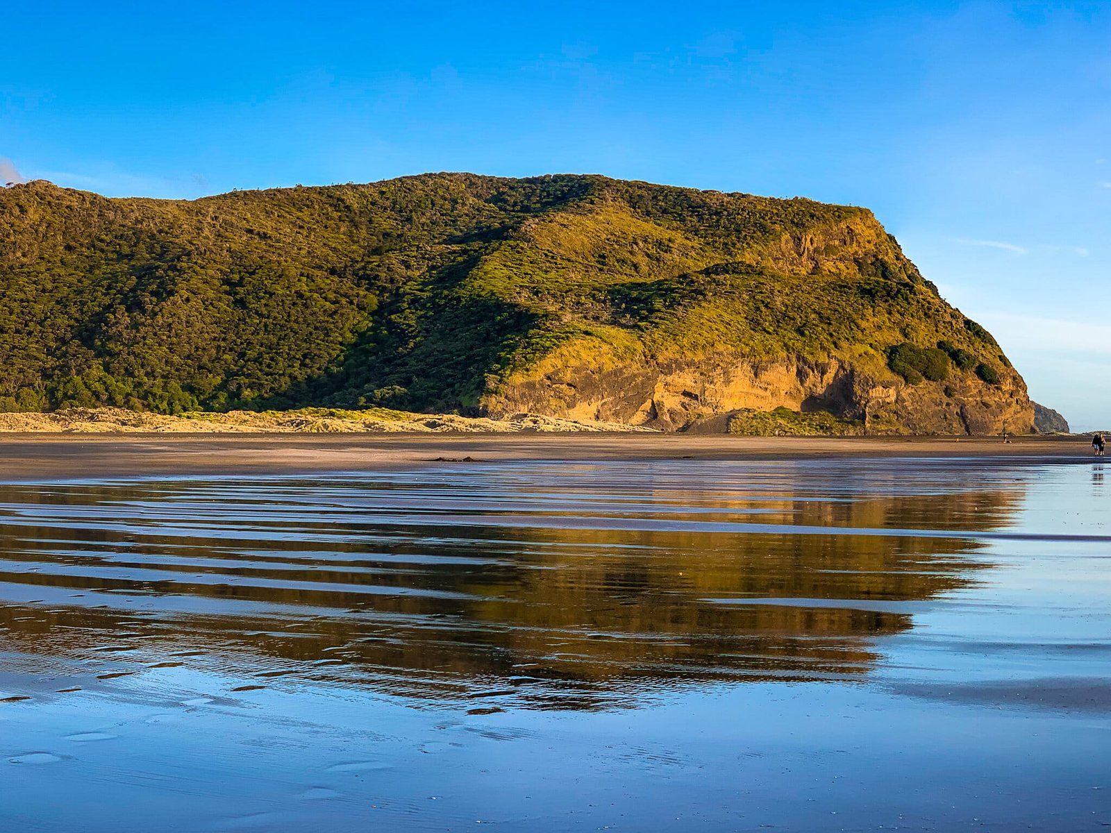
The name Karekare, which means 'agitated water', reflects the dynamic nature of this coastal area. From the parking area, you can take the Pōhutukawa Glade or the lagoon walk to reach the beach.
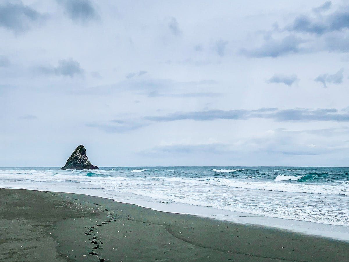
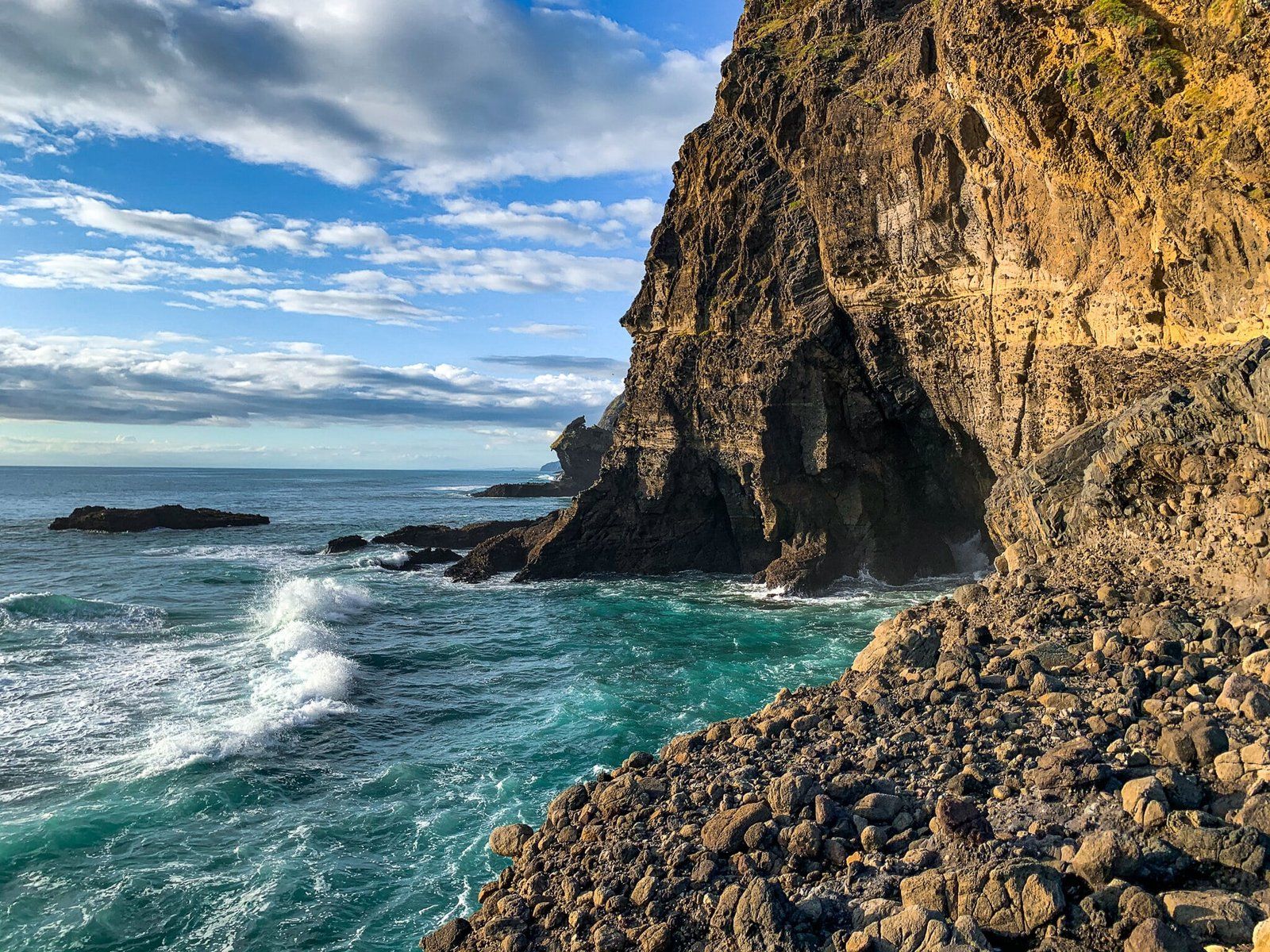
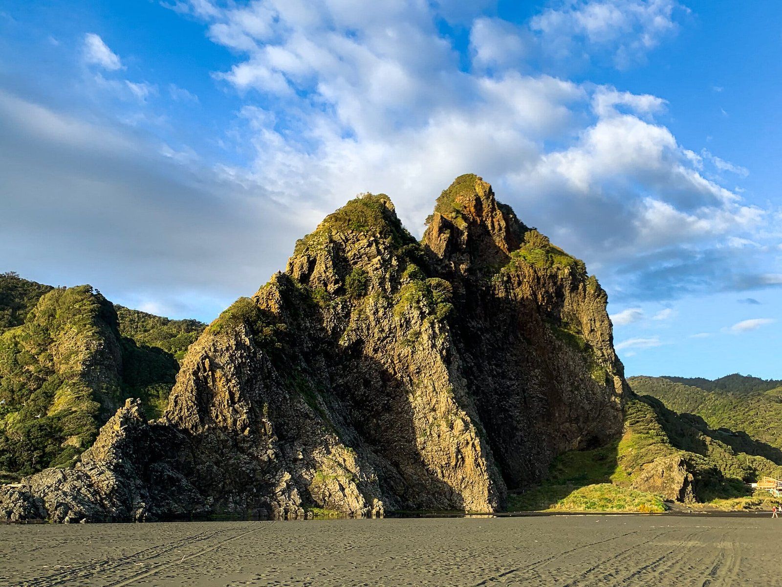
These walks are around 500 metres and 700 metres respectively. The lagoon walk runs alongside the Watchman, a spectacular razor-edge rock, 300 metres long and 80 metres high, that sits above the lagoon. This walk is more convenient for accessing the surf-patrolled swimming area towards the cliffs to the north, for a safe spot for a swim. The glade walk connects you to the tracks to the south, through the dunes, towards Whatipū.
Walking and Hiking Adventures
For hikers, a one-hour trek south from the beach leads to the Tunnel Point campsite. This site is a remnant of the industrious settlers who once logged the ancient kauri forests in the area. Fortunately, the forest is now regenerating, with young to 120-year-old trees flourishing, although there are ongoing concerns about Kauri Dieback Disease.
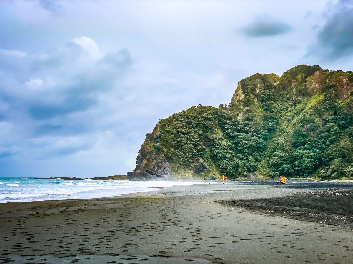
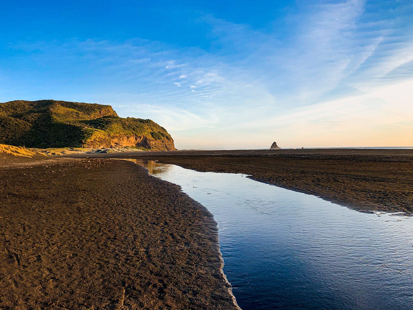
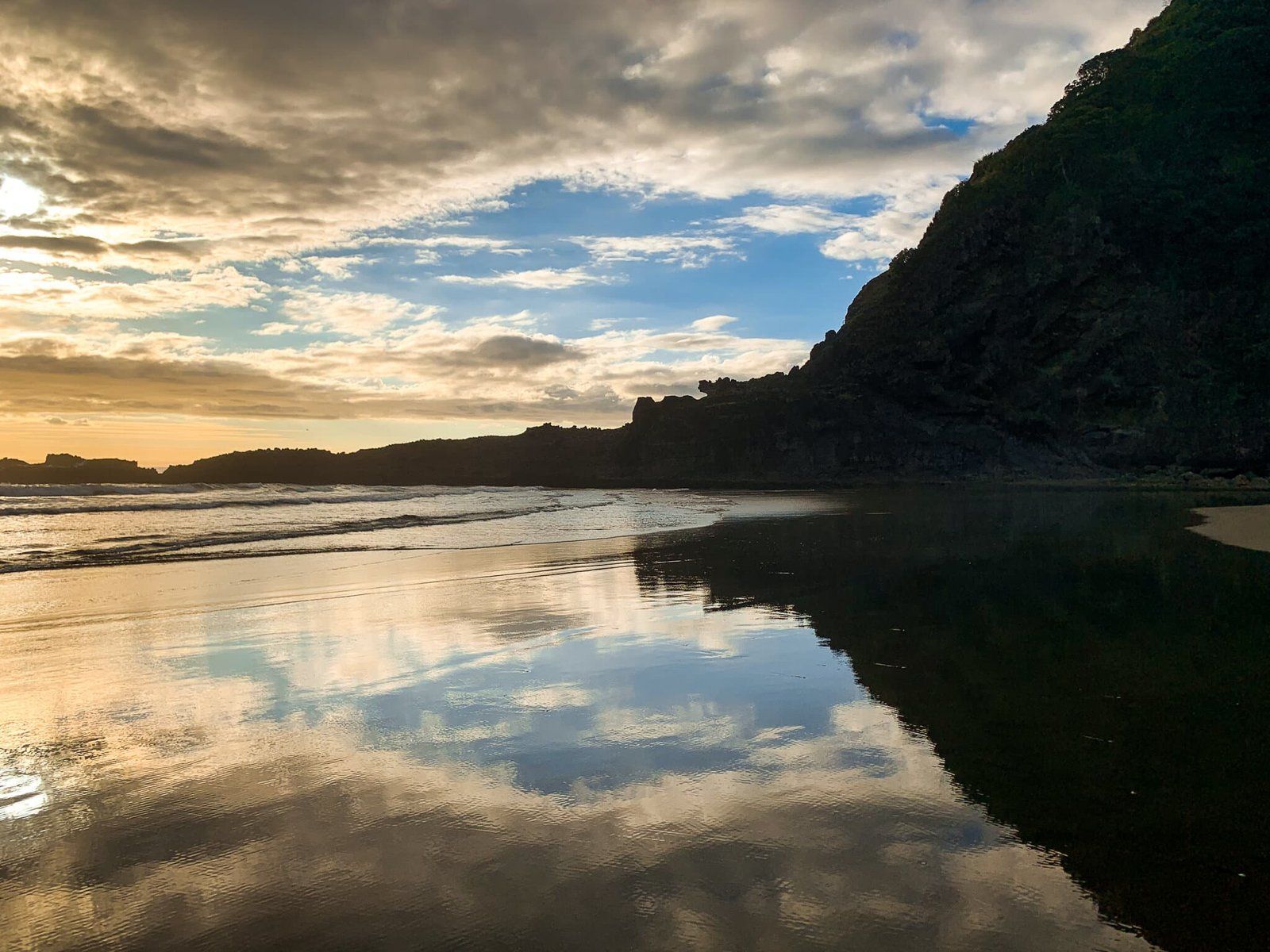
Continuing from Tunnel Point, you can explore the Pararaha Valley Track, which features a second campsite. From here, the Gibbons and Muir Tracks offer a hike to Whatipu, situated above the cliffs. The full trek from Karekare requires at least half a day one way. You can also walk the black sand beach, but this could feel quite exposed in summer. Notably, over the past century, the beach has expanded as sand has accumulated along the coast.
From Karekare, you can also hike to Piha via Comans Track and the Mercer Bay Loop, or do a loop combining Comans and the Ahu Ahu Track. These tracks start at the end of Watchman Road, on the north side of the Watchman.
How to Get There
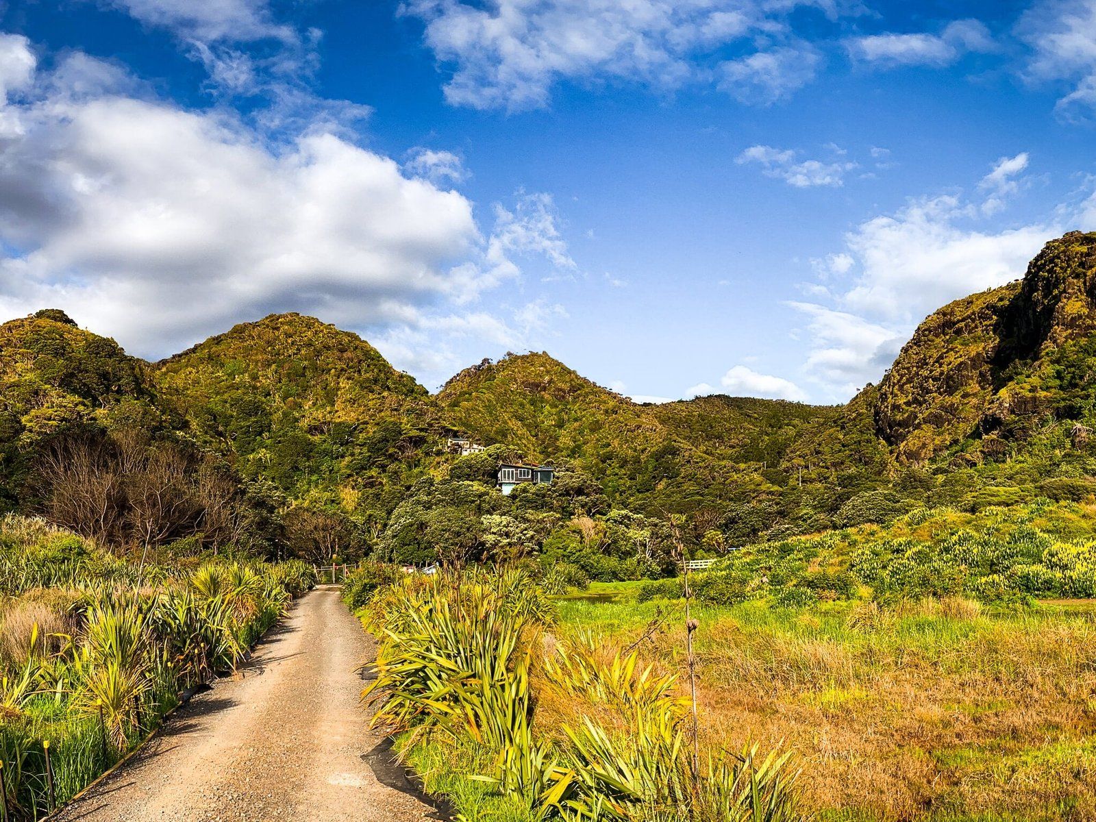
From Downtown Auckland, take the western motorway to Te Atatu, then head south on Highway 13 to Henderson Valley Road. Follow this road to Forest Hill Road, which then takes you into the Waitākere Ranges and the Scenic Drive. Head right onto Scenic Drive, then veer left onto Piha Road. From Piha Road, you can take either Lone Kauri Road or Karekare Road to Karekare and the car park. Karekare Road is the shorter, more direct option, but both roads have suffered storm damage over the past few years and may be closed from time to time. The trip is around 40 km and will take around one hour.
There are many other things to do in the region. In nearby Piha, you can check out the Kitekite Falls Track, hike to Whites Beach or explore caves at North Piha and the Blowhole.