Exploring Gibbons and Muir Tracks
Gibbons and Muir Tracks are a scenic section of trail that connects Whatipū to the Pararaha Valley in the Waitākere Ranges of Auckland. Running from Whatipu to about halfway between Whatipu and Karekare, this track has stunning coastal views and a diverse regrowth forest landscape.
Track Overview
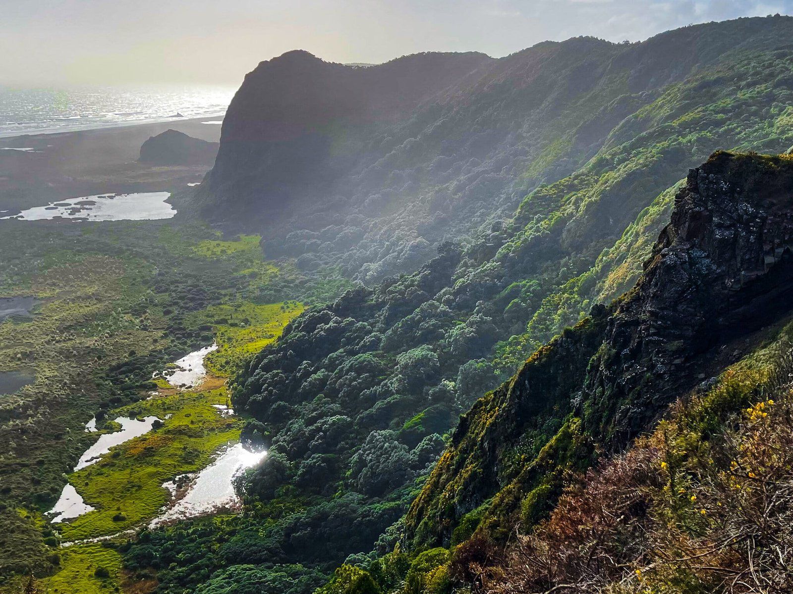
The hike begins at the Whatipū car park, passing the campground before ascending the steep hills and cliffs to the north. The track climbs a total of 280 metres to reach a high ridge above the coast. Once on the ridge, the walk becomes easier until you reach the steep descent into the Pararaha Valley. From the valley, the track connects to the Zion Track, which takes you back above the cliffs and north to Karekare. Alternatively, you can connect with the Pararaha Valley to Karekare Walk and head through the dunes and lagoons below the cliffs, then north along the beach to Karekare.
Forest and Coastal Views
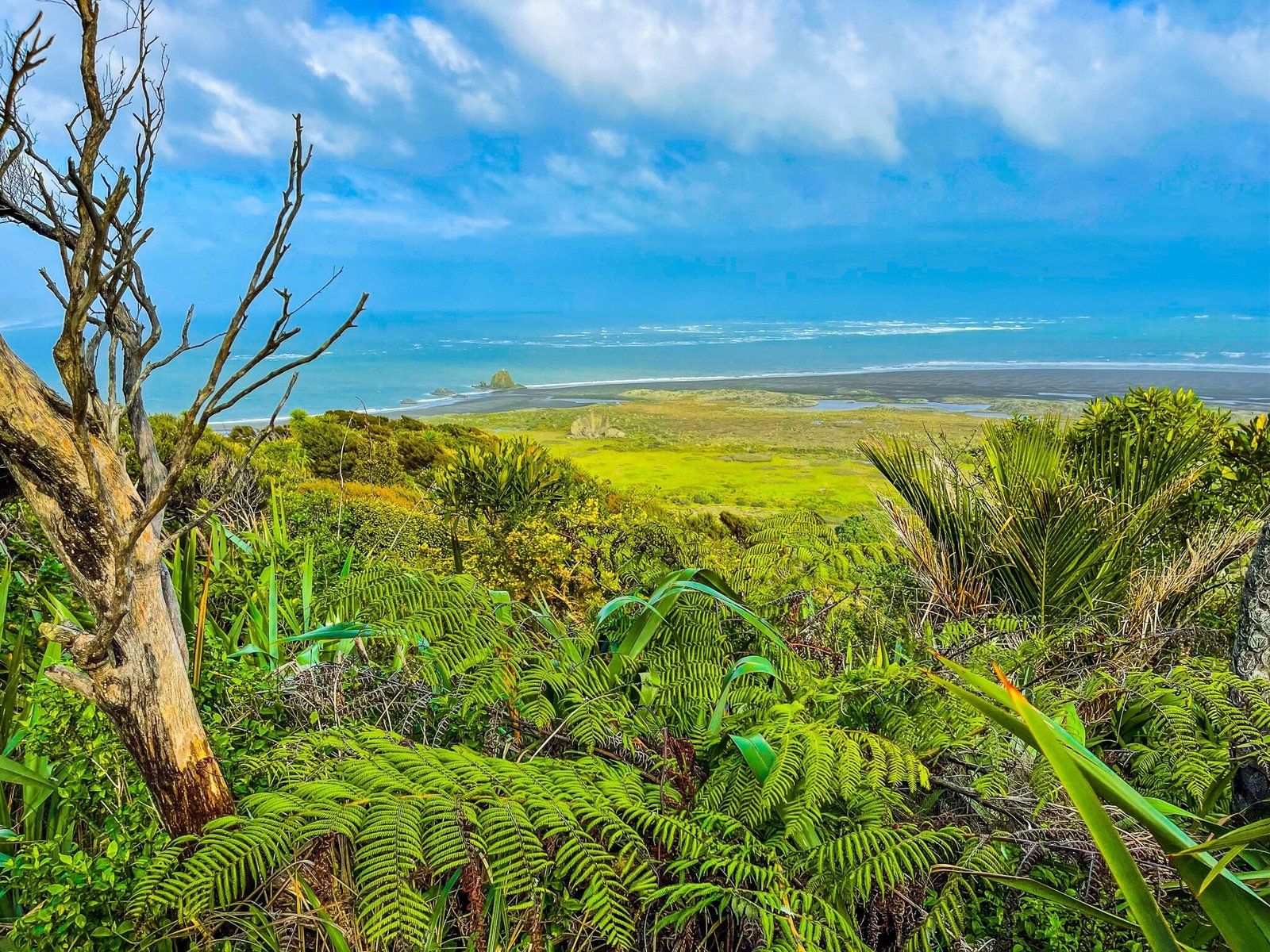
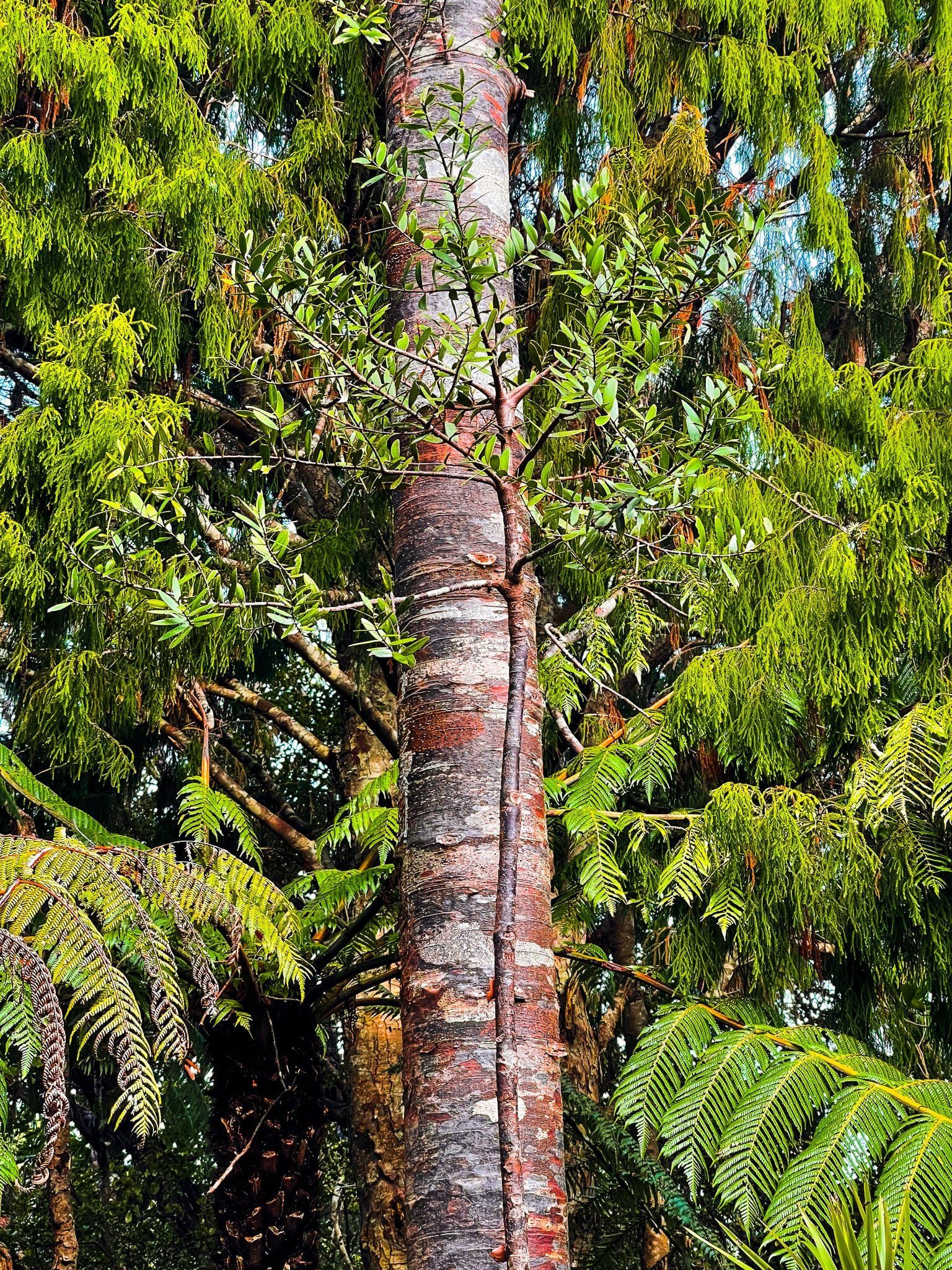
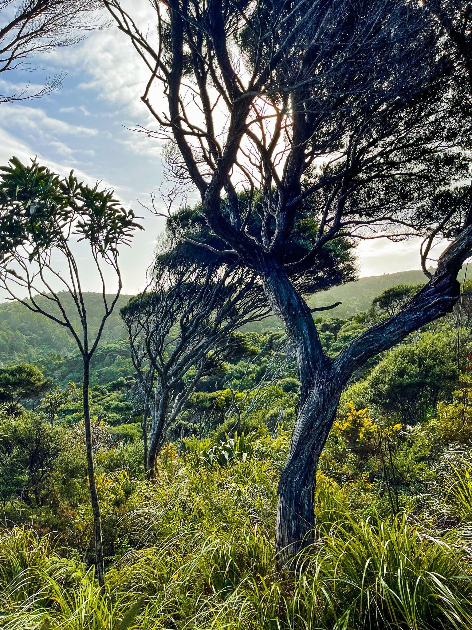
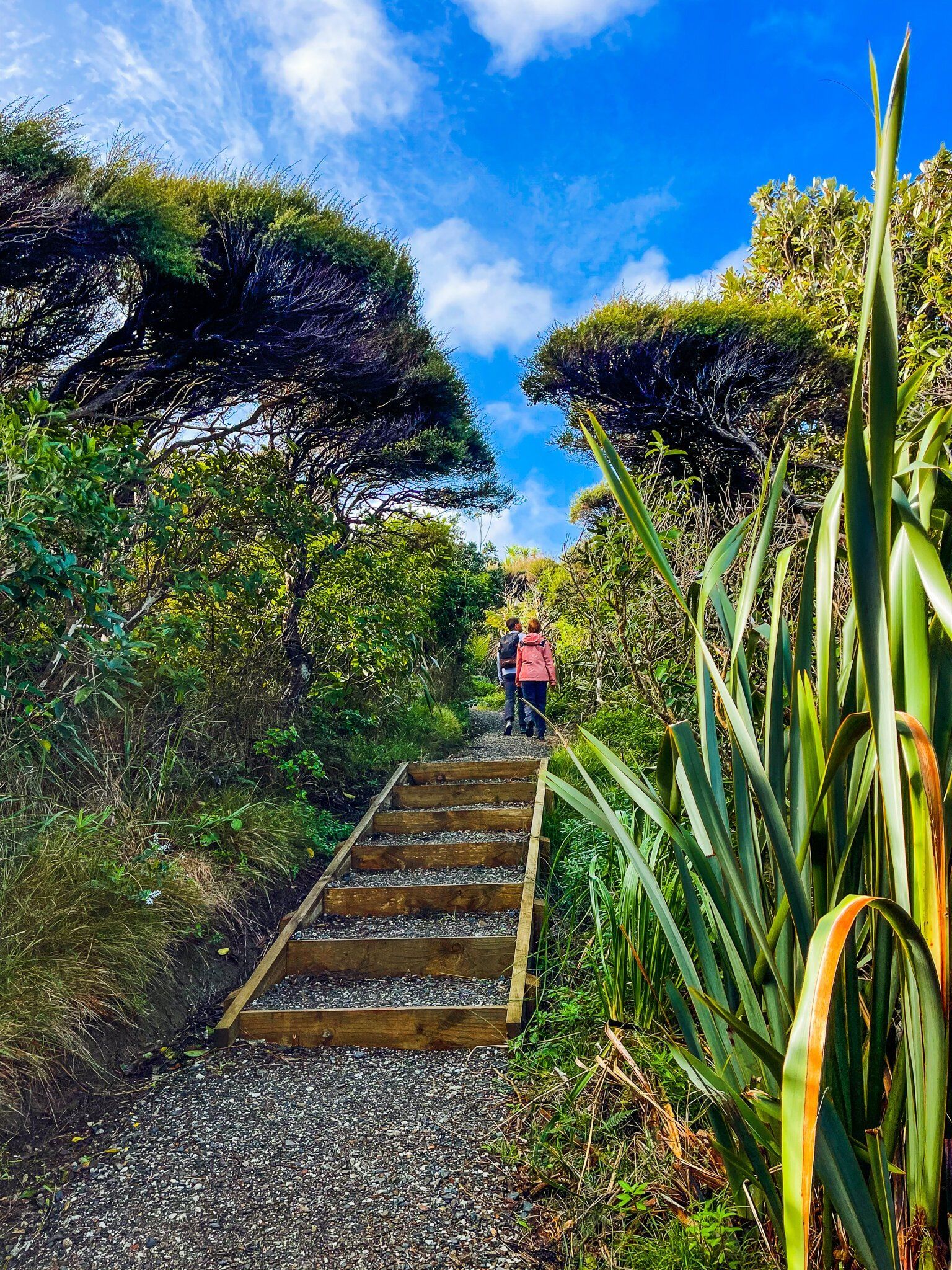
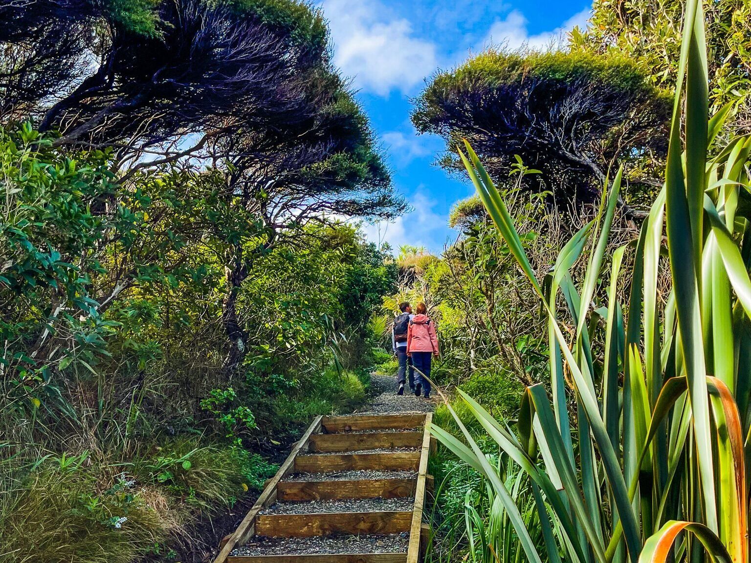
The initial section of the track winds through a forest dominated by mature pūriri trees. Along the way, you will encounter several cliff-edge viewpoints with breathtaking views of the coast and the Tasman Sea. As you continue along the ridge, the path meanders through a forest featuring young kauri and rimu trees surrounded by striking mānuka and kānuak scrub.
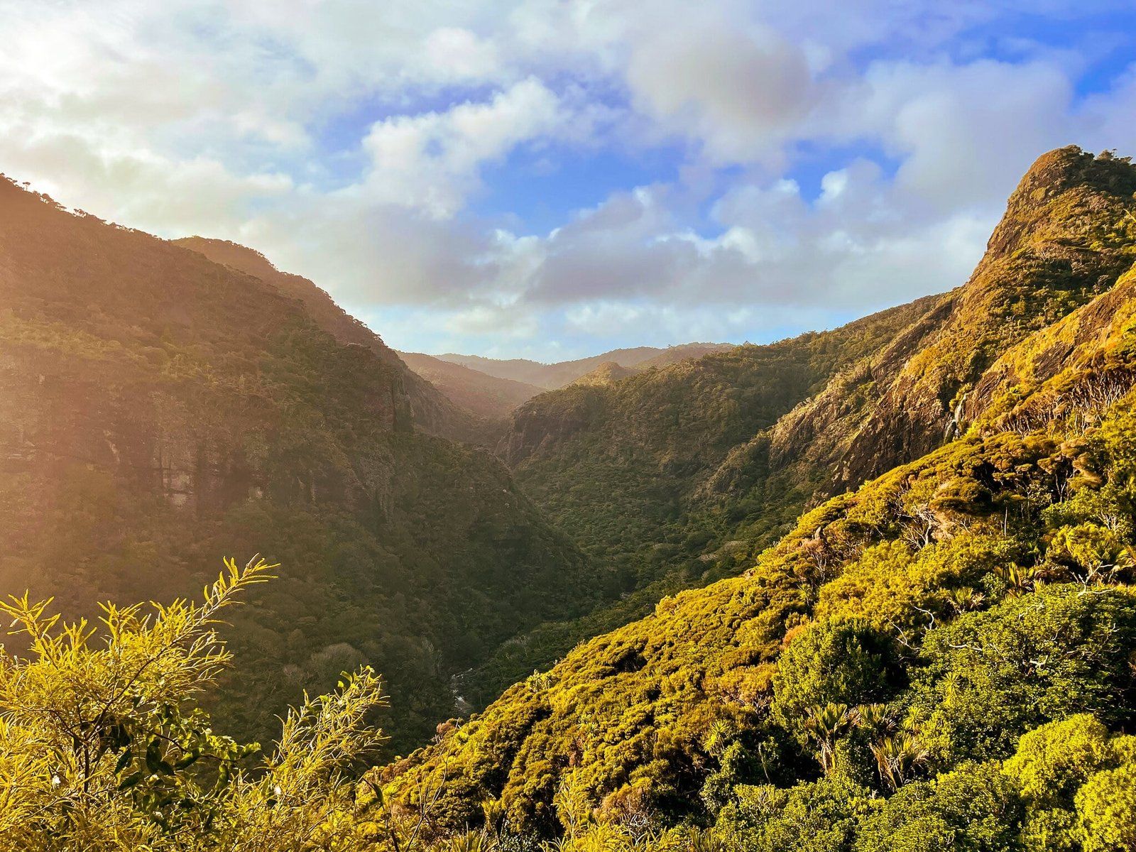
Descent into Pararaha Valley
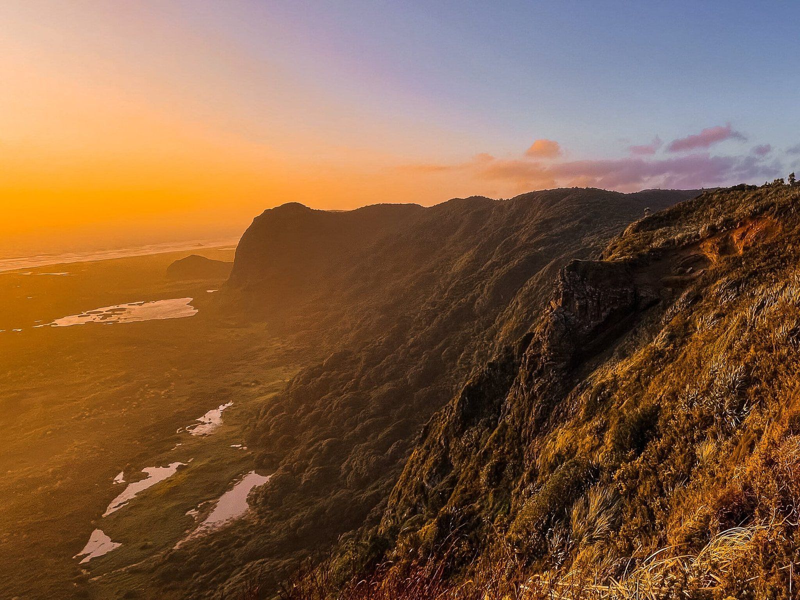
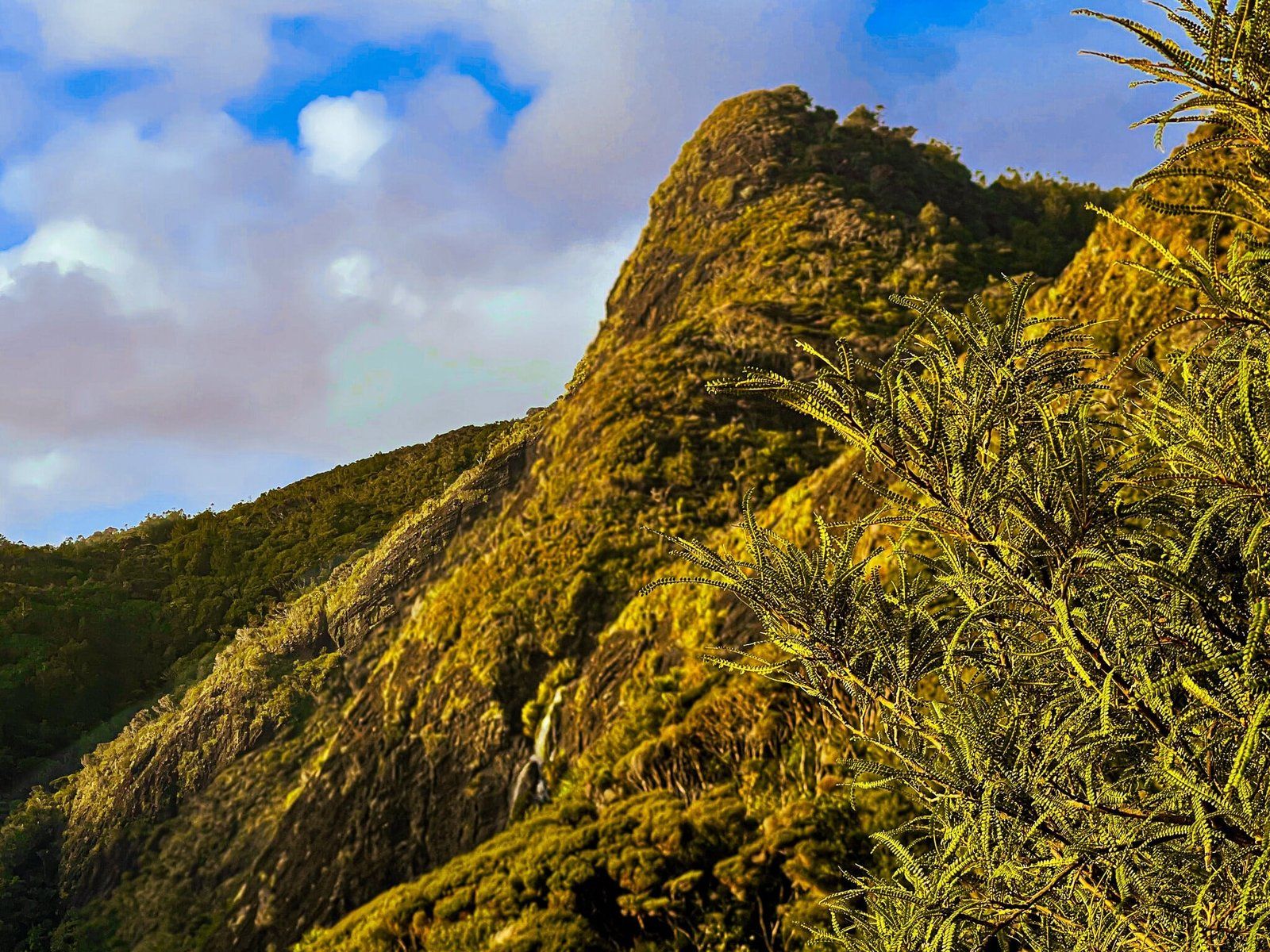
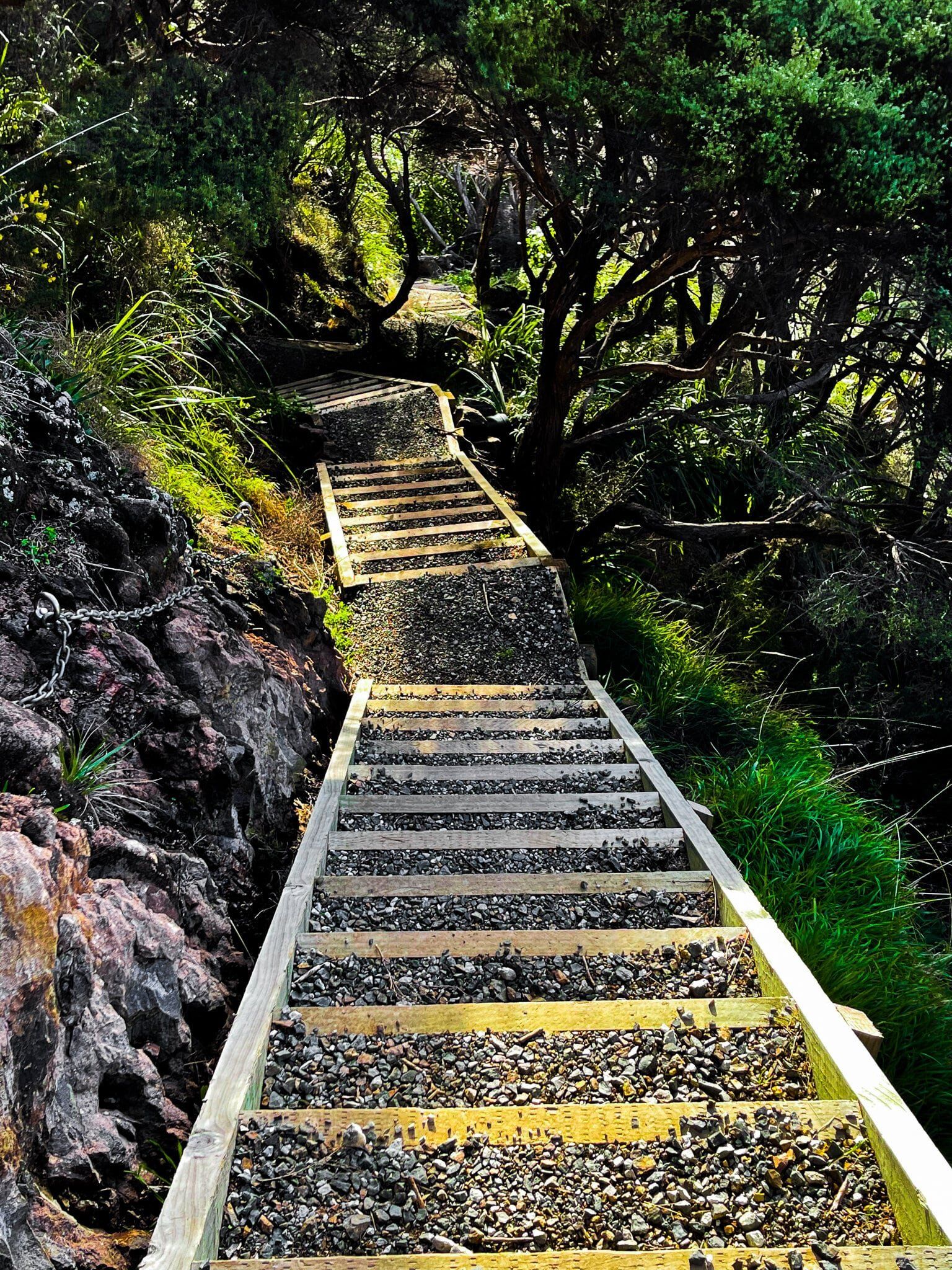
Descending into the valley, you are treated to a spectacular view of the steep-sided landscape. After a good amount of rain, a waterfall may be visible cascading from the top of one of the cliffs on the right. The descent involves a steep series of steps, with a chain available for assistance, leading down to the campground in the valley.
Getting to Gibbons and Muir Tracks
To reach the start of the Gibbons and Muir Tracks from Titirangi, follow Huia Road to Whatiu Road in Little Huia, then follow (mostly gravel) Whatipu Road to the Whatipū car park.
Other walks around Whatipū include the Mount Donald MclLean Track, the Puriri Ridge Track, Omanawanui and the Whatipū Caves Walk.