Discovering Haast Pass / Tioripatea
Haast Pass / Tioripatea, at 562 metres, is the lowest and most southerly mountain pass over the Southern Alps' Divide in New Zealand. It is traversed by State Highway 6, also known as Haast Highway, which is renowned for being one of the most scenic roads in Aotearoa.
The highway offers stunning views as it runs from south to north alongside Lake Hāwea and the northeast side of Lake Wānaka before entering the predominantly farmed Makarora River valley. After passing through the small settlement of Makarora, the road enters Mount Aspiring National Park, providing a picturesque journey.
Scenic Attractions and Activities
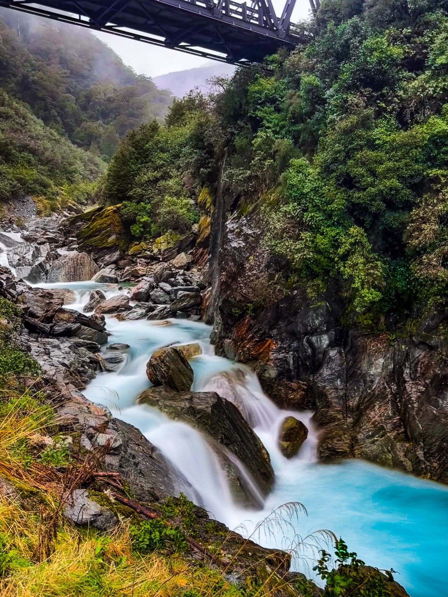
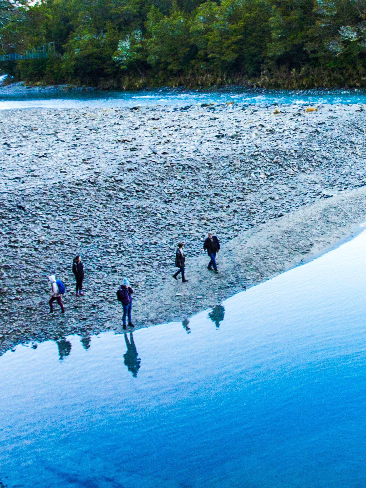
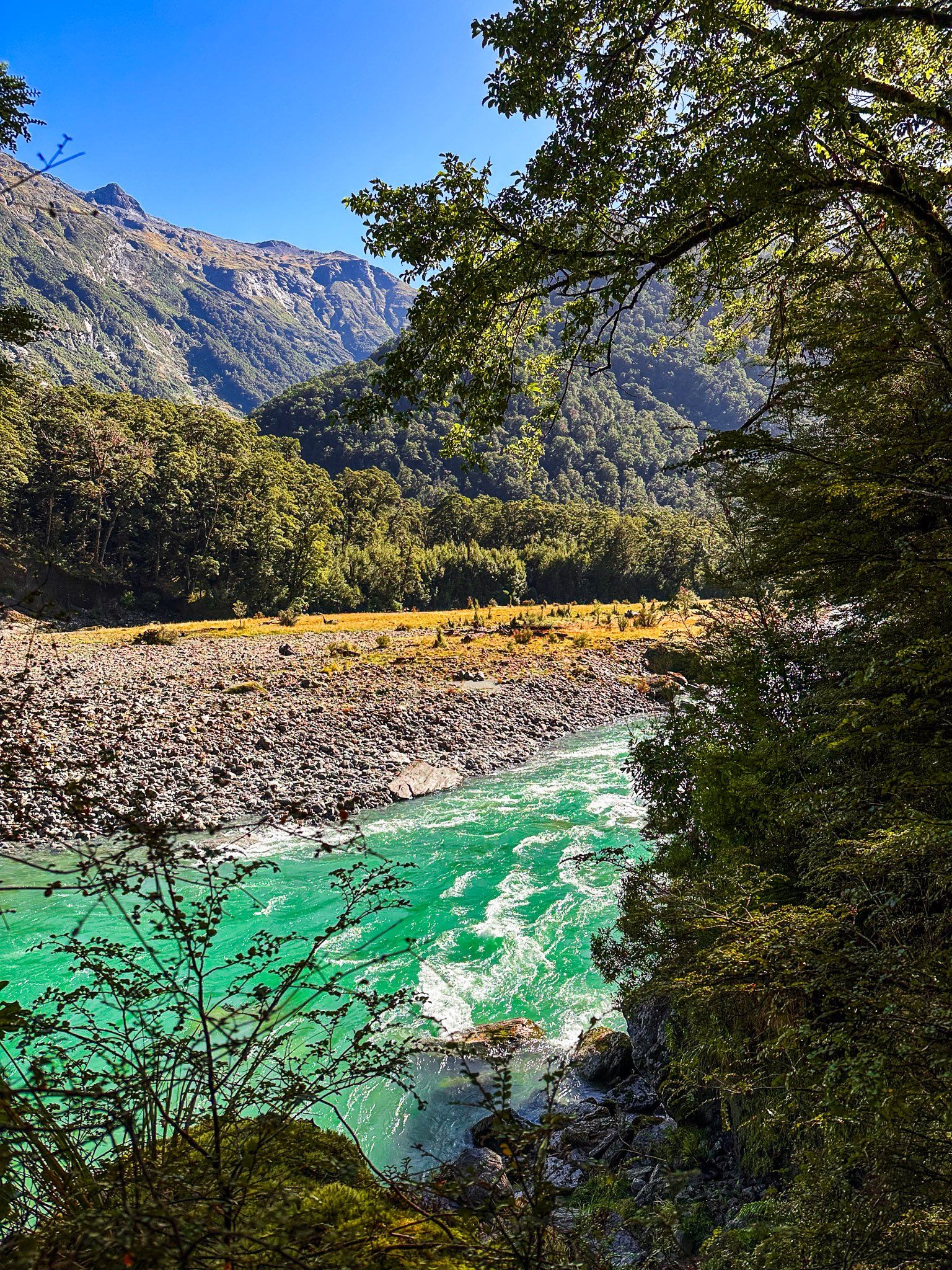
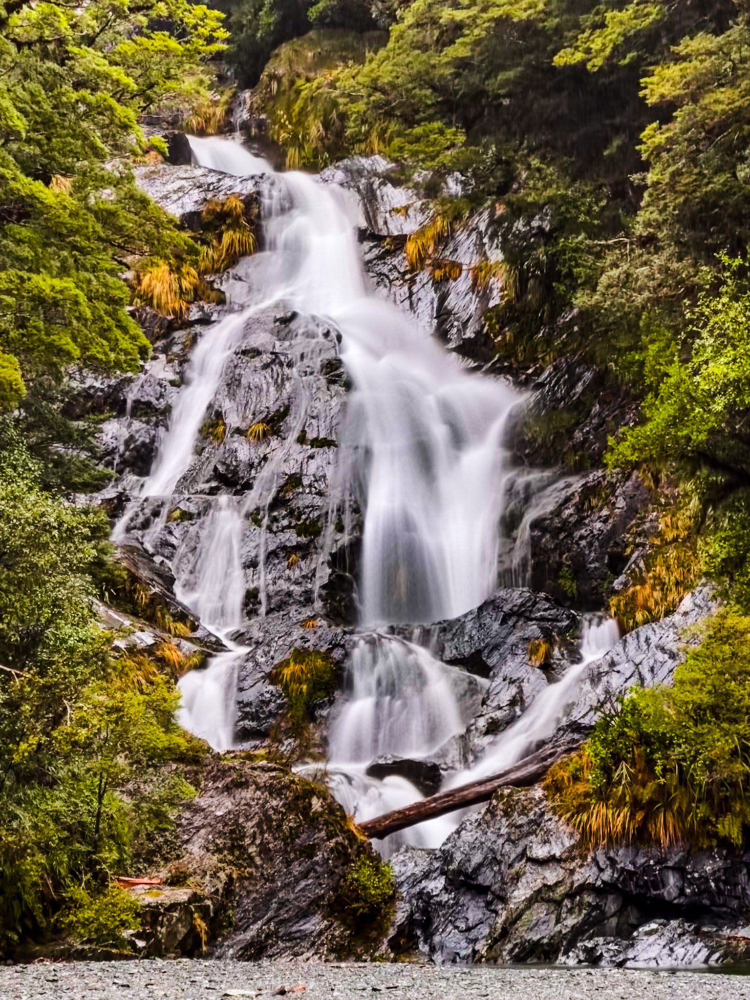
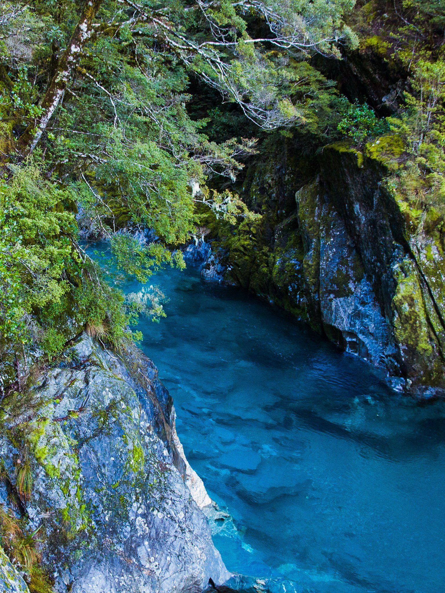
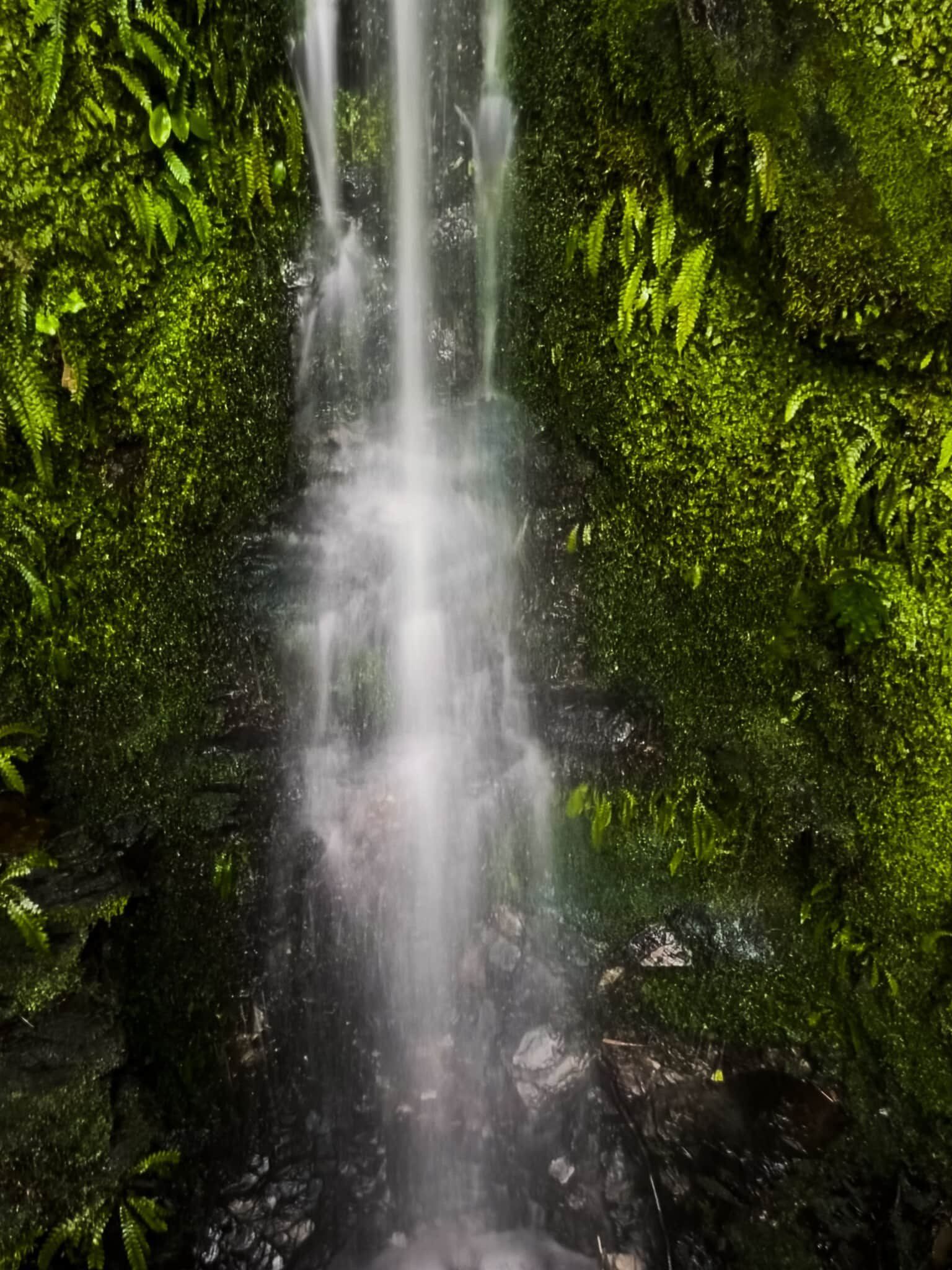
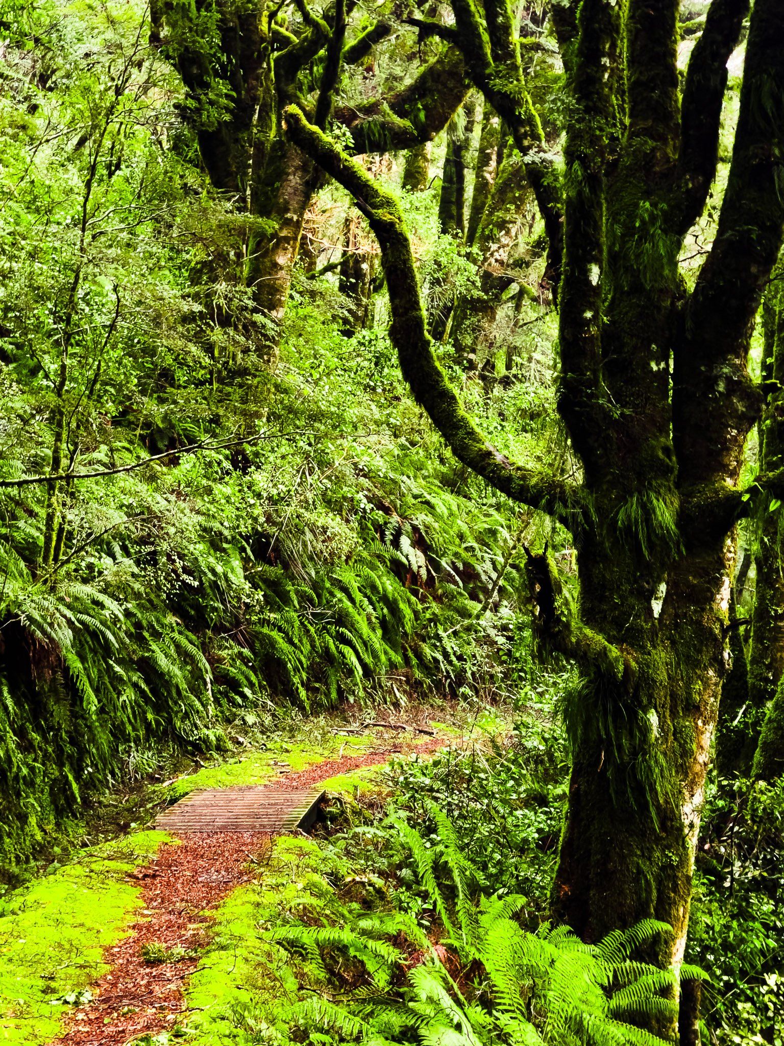
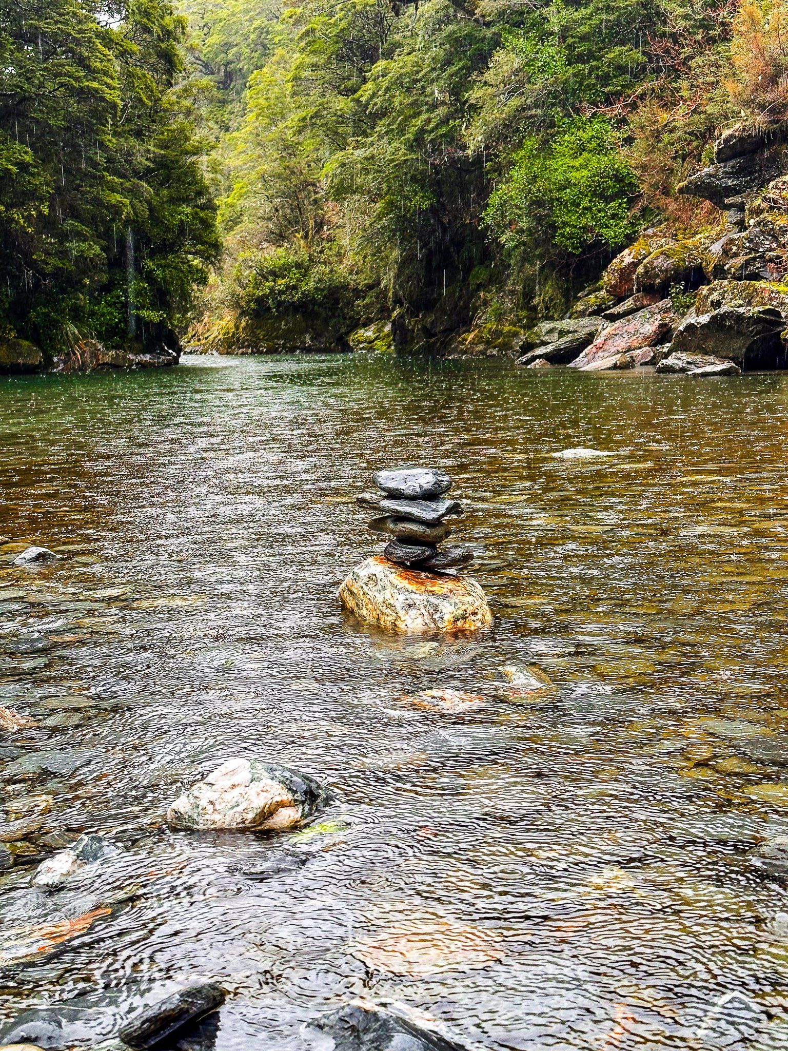
Within Mount Aspiring National Park, visitors can explore beech forests, majestic mountains, and a variety of tracks and waterfalls. The Makarora River flows south from the Divide to Lake Wānaka, while the Haast River flows northwest towards the coast. The road features sections along river valley flats and others that cling to cliffsides above gorges. Popular stops along the way include the Blue Pools on the Makarora River, Haast Lookout, the Gates of Haast, and several waterfalls such as Fantail, Thunder Creek, and Roaring Billy Falls. The Bridle Track, a remnant from the days of packhorse travel, offers a glimpse into the past.
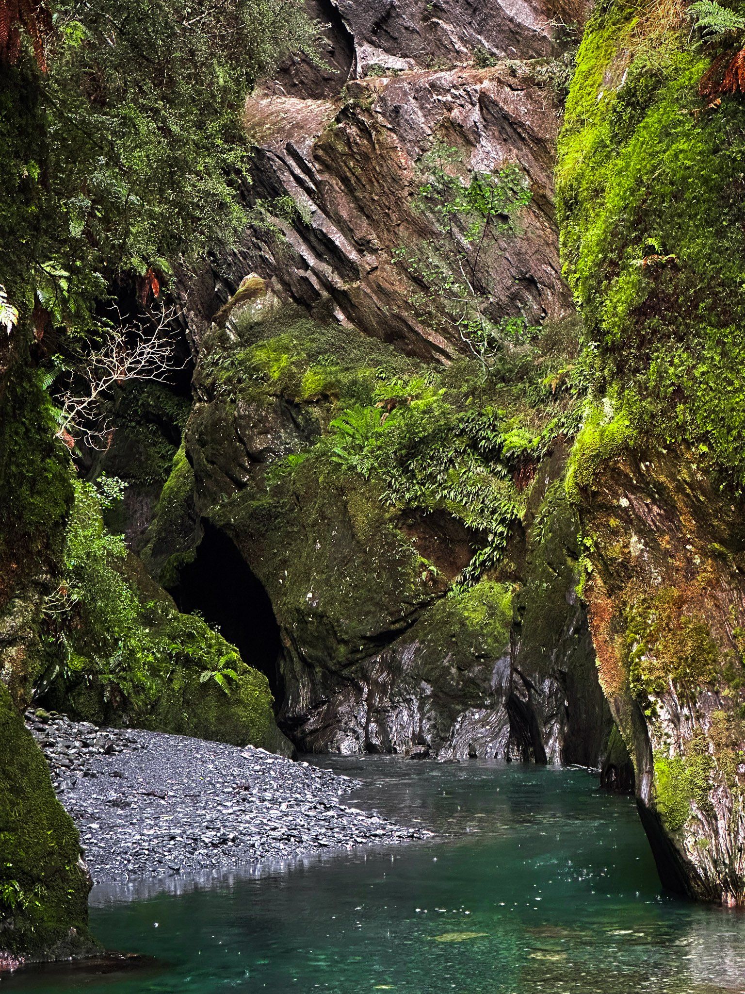
For those seeking more adventure, the Brewster Track provides a challenging hike, while a jet boat ride on the Makarora River offers access to tracks on the Young River and Wilkin River tributaries. For a more obscure but accessible experience, you can explore the stunning canyon on Wilson Creek and Topsy Falls, though you should be prepared to get your feet wet.
Historical Significance
Haast Pass has a rich history, having been used by Māori for centuries as a route between the West Coast and Wānaka / Hāwea for trading pounamu and food resources. The European name honours Julius von Haast, a notable explorer of the South Island in the 1800s and the first European to cross the pass. The traditional Māori name, Tioripatea, meaning "the way is clear," was restored following the Ngāi Tahu Treaty of Waitangi settlement in 1998.
The pass is also known for a significant event in 1835/36 when a 100-person war party led by Te Pūoho crossed it. They attacked a Ngāi Tahu encampment between Lake Wānaka and Lake Hāwea, taking prisoners and cannibalising two children. The party then moved over the Crown Range to Lake Wakatipu and Southland, where they were ultimately defeated by Ngāi Tahu, resulting in the death of Te Pūoho.
Development of the Road
By 1880, a packhorse track across Haast Pass was established. The first stage of road development began in 1929, but progress was slow. The road over the pass to Haast was finally completed in 1961, and the final stage of State Highway 6 between Haast and Paringa was finished in November 1965. The entire route was fully sealed by 1995, making it more accessible to travellers.
How to Get There
To reach Haast Pass / Tioripatea, take State Highway 6, which connects the West Coast to the Otago region. From the south, the highway runs alongside Lake Hāwea and Lake Wānaka before entering the Makarora River valley and Mount Aspiring National Park.
The scenic drive provides numerous opportunities to stop and take in the natural beauty of the area.