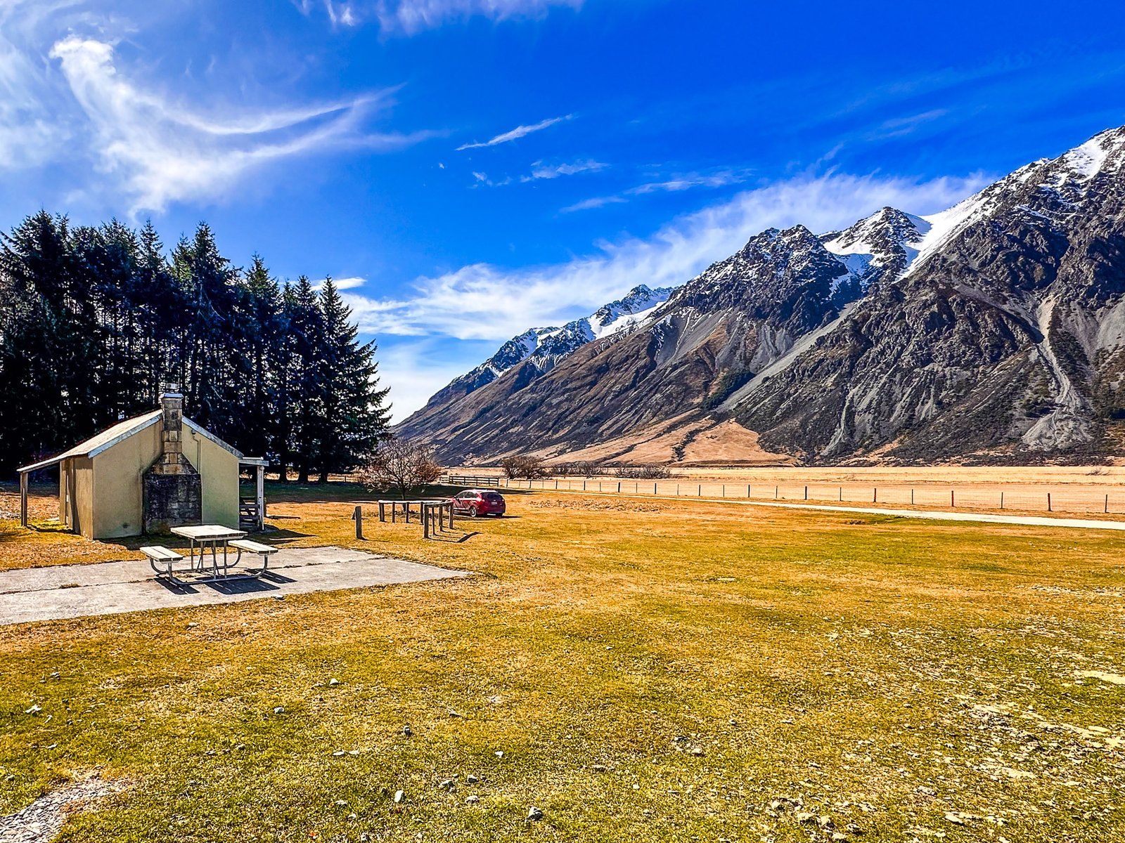
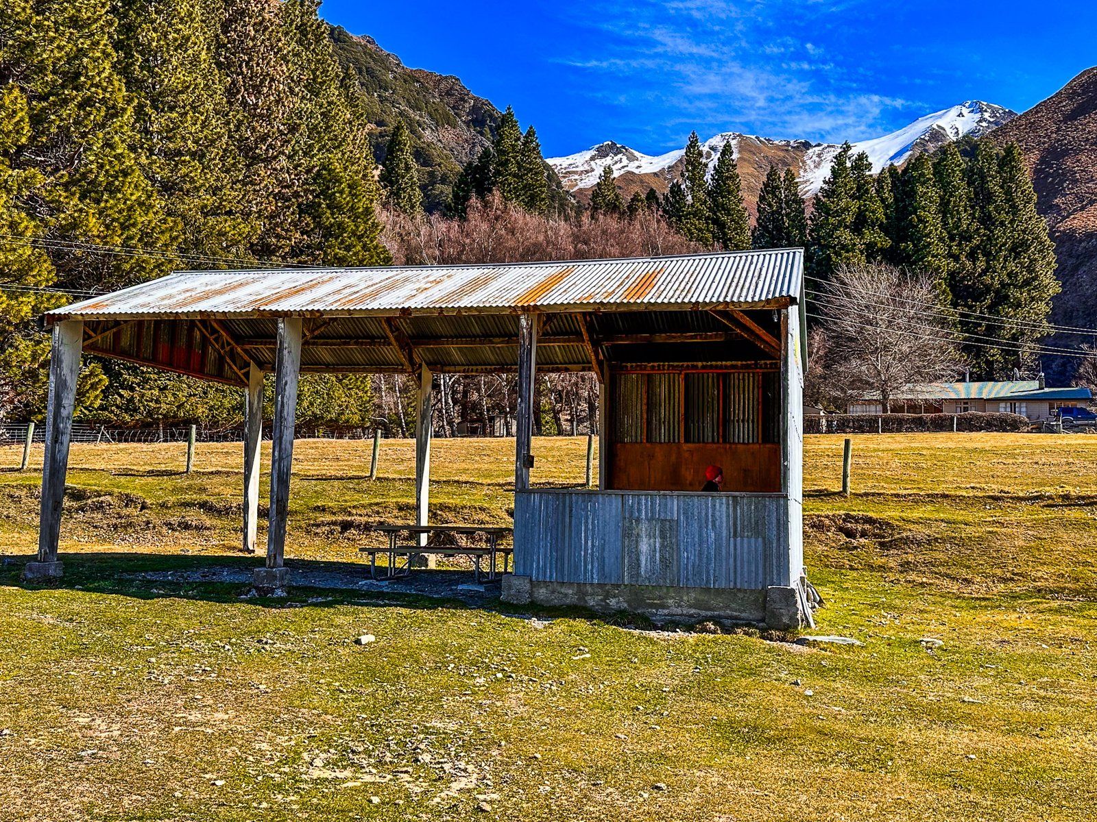
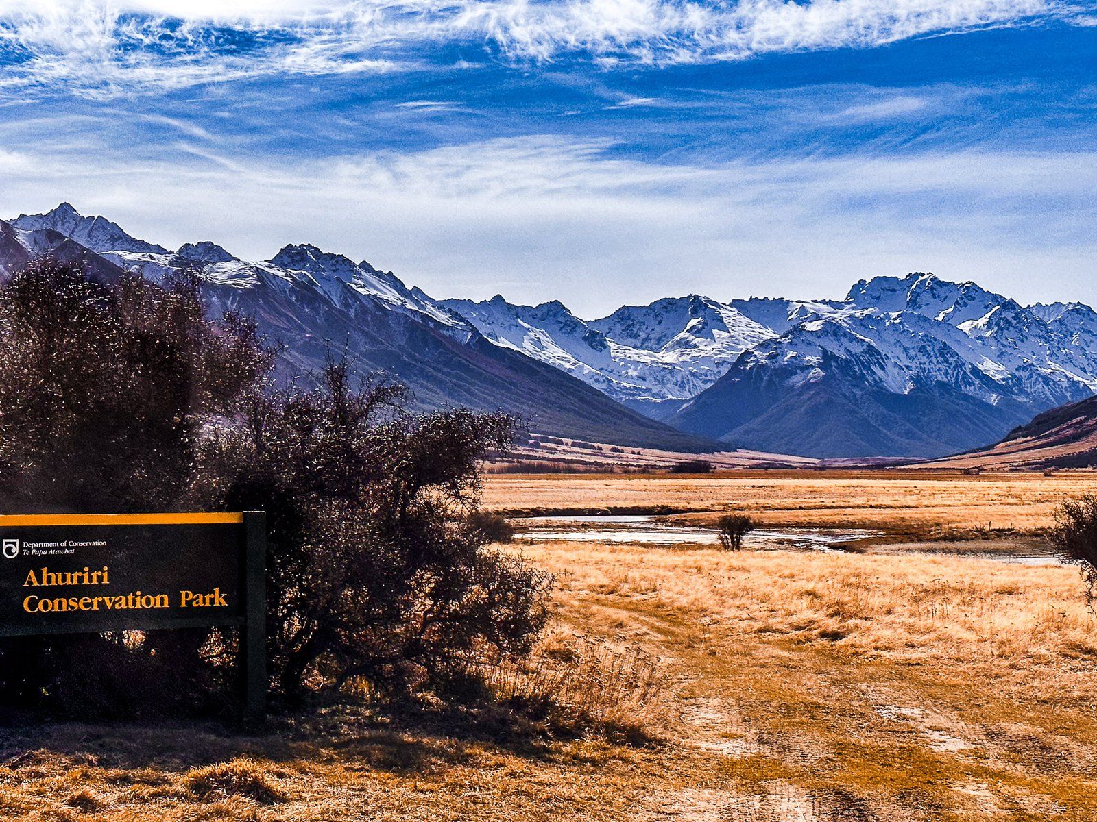
The Birchwood Picnic Area is inside the Ahuriri Conservation Park boundary on Birchwood Road. Before passing into conservation ownership and becoming a park in 2004, Birchwood Station farmed the land. The picnic area contains several buildings from this time and a large grassed area, perfect for picnics!
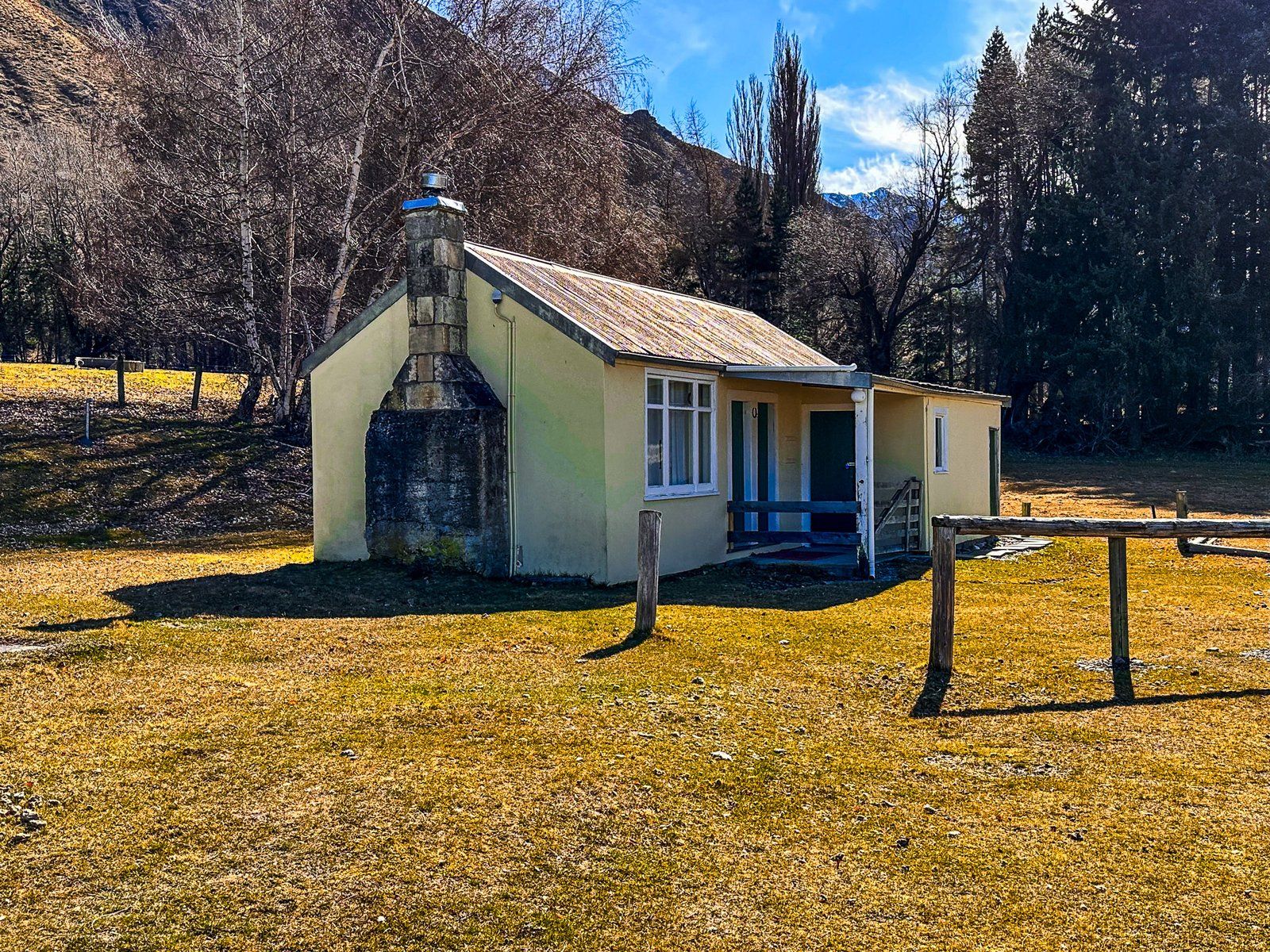
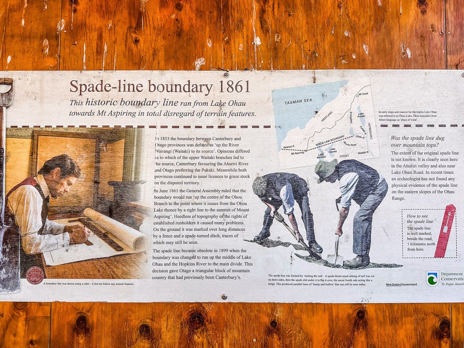
The buildings include a horse stable, a store shed, and a 1930s cottage. The shed has been converted into a picnic shelter, and there is an interesting wall panel describing an oddball feature of local history, the “spade line”. This was the demarcation of the border between the original provinces of Canterbury and Otago. In 1853, it was defined as the Waitaki River to its source in the Southern Alps.
The problem was that the two new provinces could not agree on the source. According to Otago, it was Lake Pukaki to the north, while Canterbury decided it was the Ahuriri River to the east of the picnic area. Both governments happily issued conflicting high-country pastoral leases. In 1861, the NZ government set the provincial boundary along the Ohau River to Lake Ohau, then as a straight line to the peak of Mount Aspiring! Check it out on a map! The spade line marked out this boundary, a straight line over several mountain ranges. It consisted of fences or a spade-tuned earth channel and crossed the Ahuriri Valley about one km north of the picnic area.
In 1899, a more common-sense boundary was implemented. It runs up Lake Ohau and the Hopkins Valley to the Main Divide in the Southern Alps and expands the mountainous part of Otago. Of course, there are no longer provincial governments anyway.
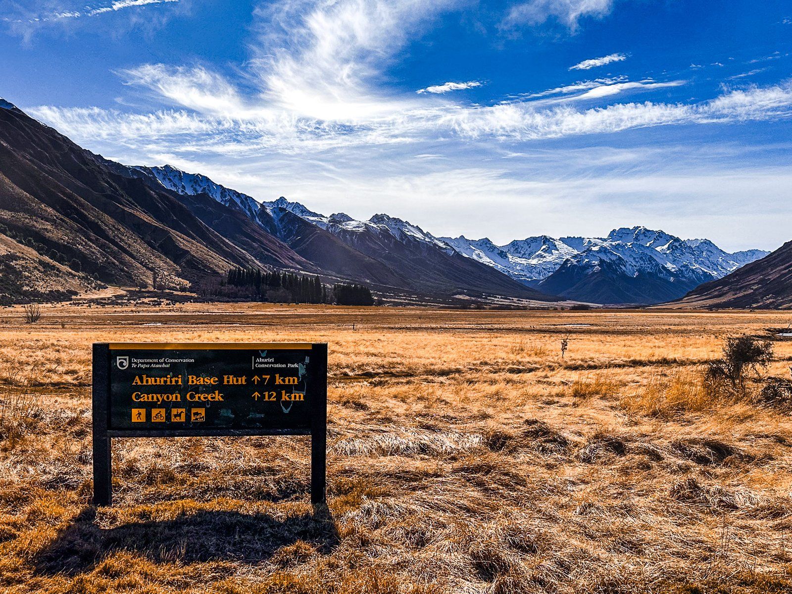
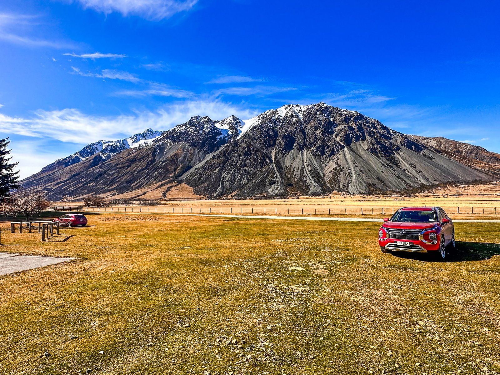
If you wish to drive further up the Ahuriri Valley to the end of Birchwood Road, you will require a 4WD vehicle.