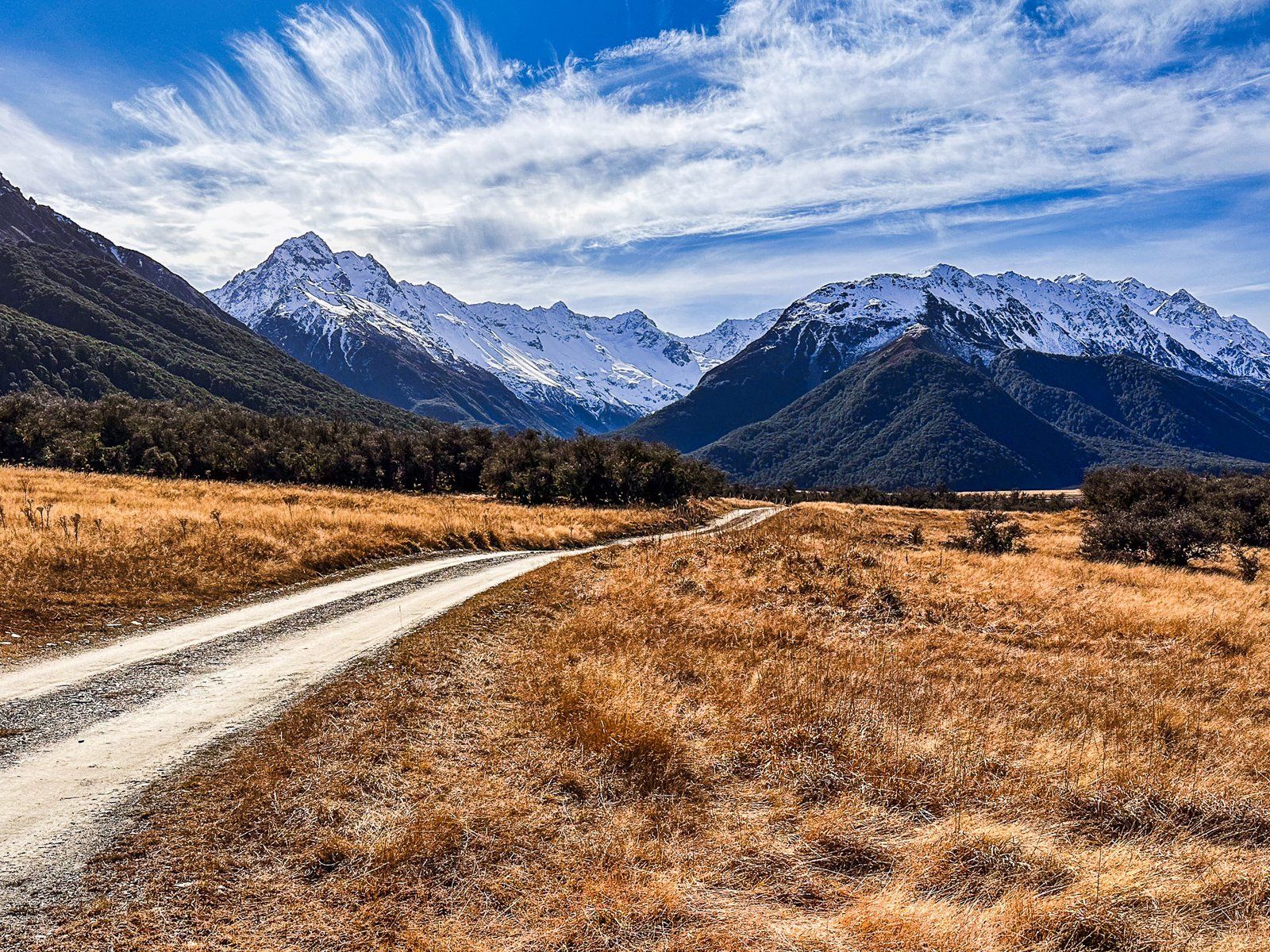
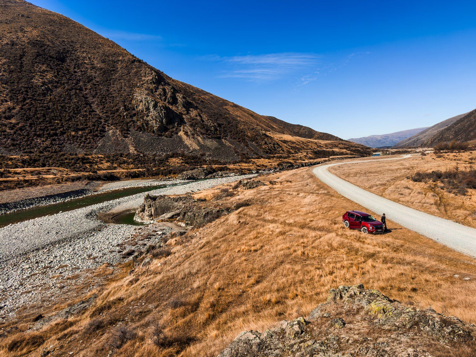
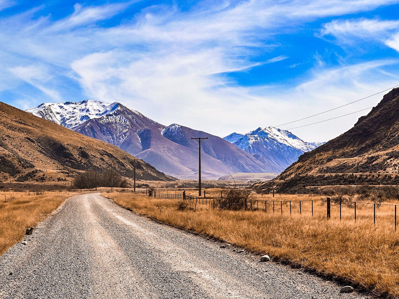
Birchwood Road is a metal road that provides access to Ahuriri Valley and the Ahuriri Conservation Park. It starts from State Highway 8, between Omarama and Lindis Pass, and runs along the western side of the valley for about 34 km. Near the start of the road, there are some interesting rock formations. The location also offers easy access to the Ahuriri River, known for its trout fishing. After this, the valley narrows, and five km later, there is a short turnoff to a bridge at Ireland Road. The bridge over the gorge has a gate, but it is a picturesque spot with nearby river access.
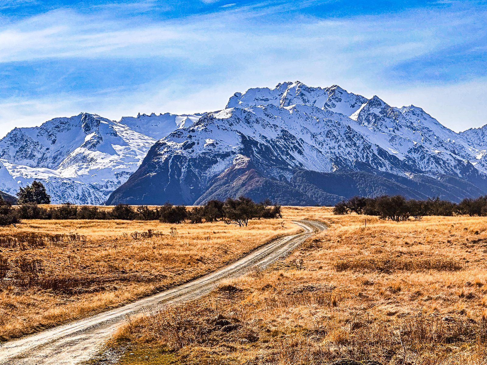
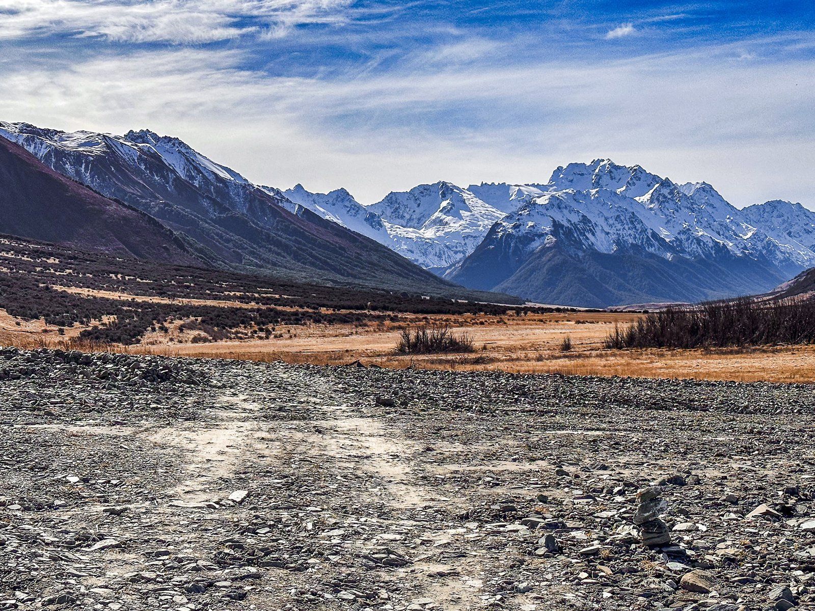
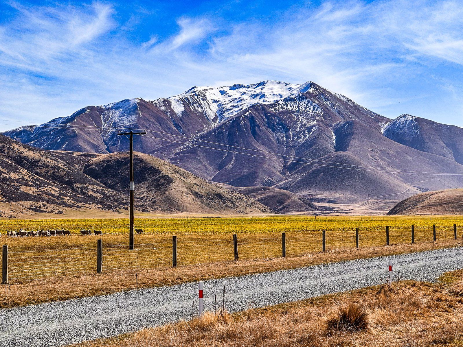
A further three km along the road, there is a fantastic view of the valley and the river. You can see how the braided river has carved out a channel through the gravel moraine left over from the Ahuriri Glacier 20,000 years ago.
At the halfway mark, you reach the Avon Burn car park. You’ll find an explanatory panel and easement access to the southwest into the Avon Burn Valley. You can tramp through the mountains to Lake Hāwea, then Wānaka on Te Araroa (multi-day). Ben Avon is the sizable rolling mountain west of the car park, at 1705 metres. On the northeast side of the car park is an easement to the river, also part of Te Araroa, as it heads northeast to Lake Ohau.
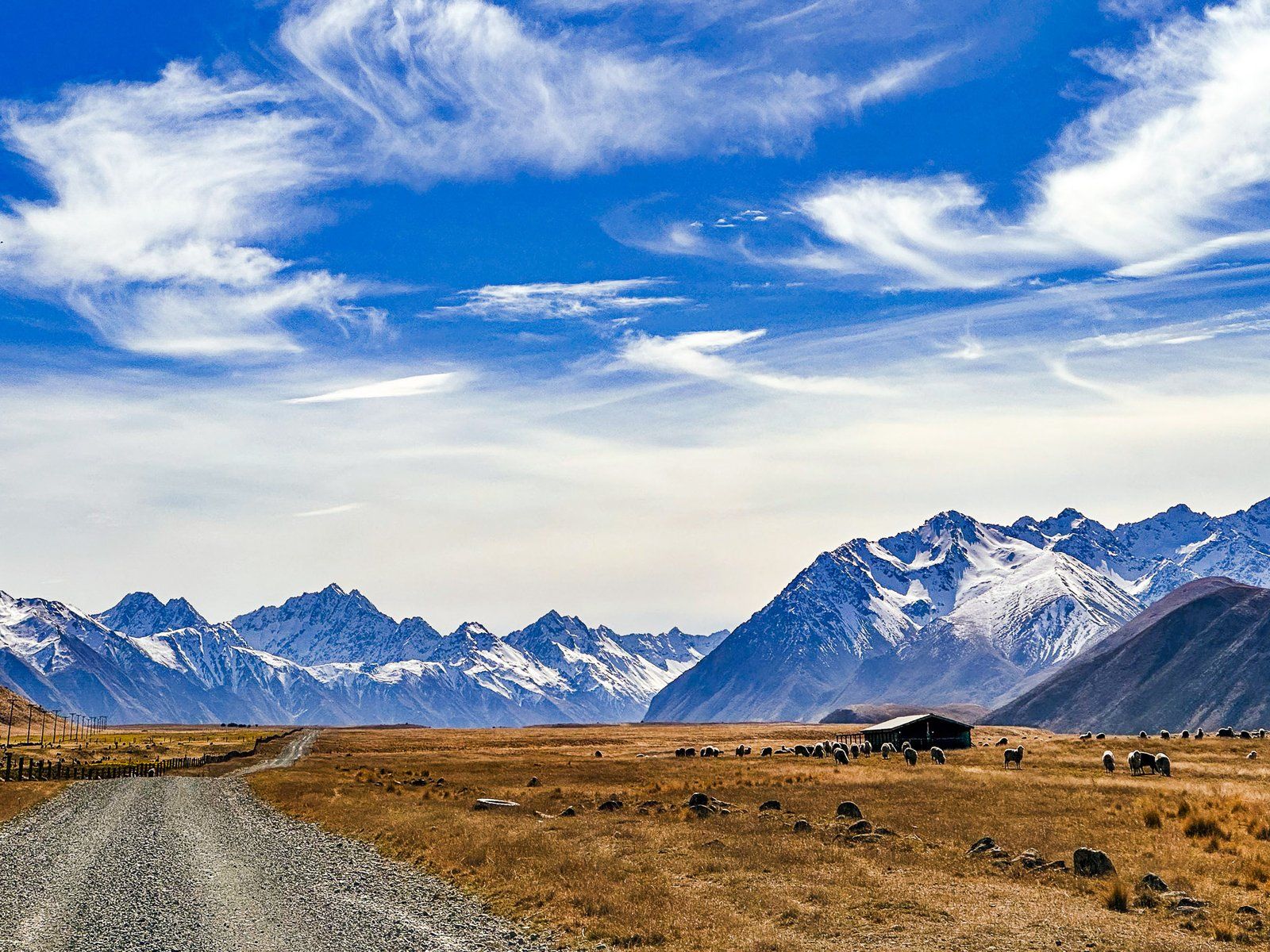
The next significant stop on the road is Ben Avon Wetland. Given how dry this part of the valley can look, the substantial lagoons and related bird life are quite a surprise. Look out for the rare kakī (black stilt).
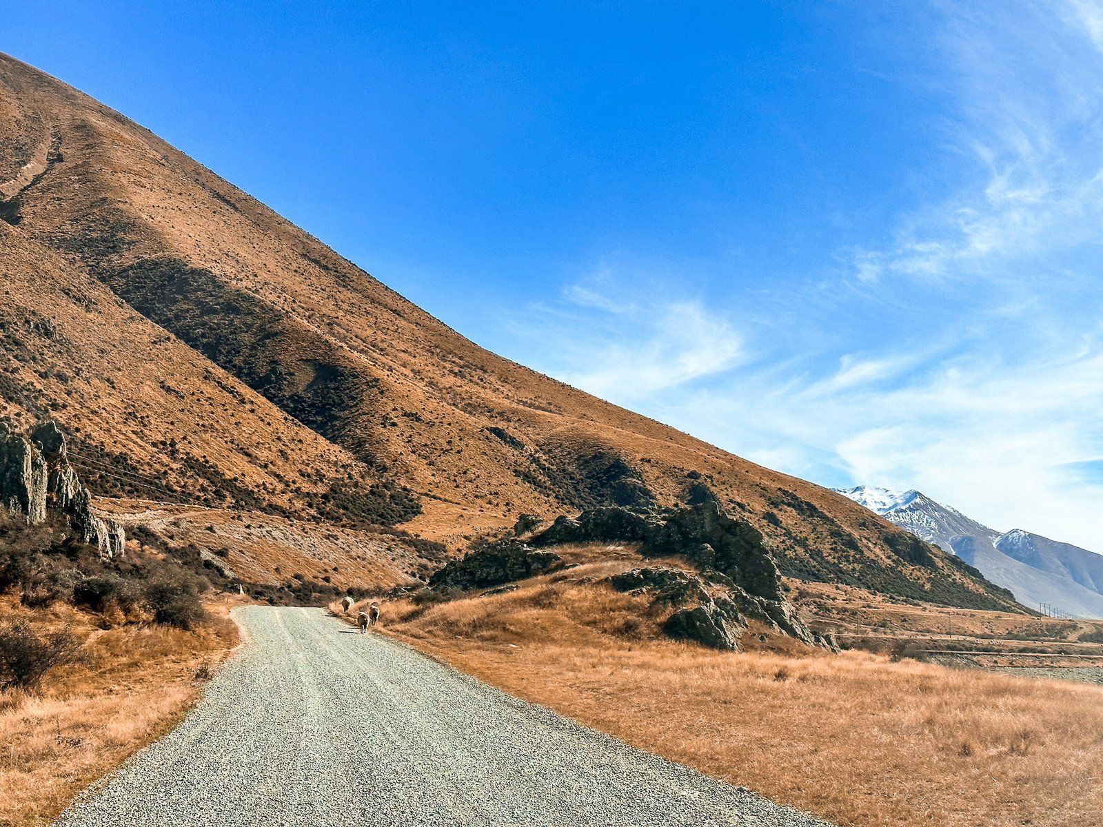
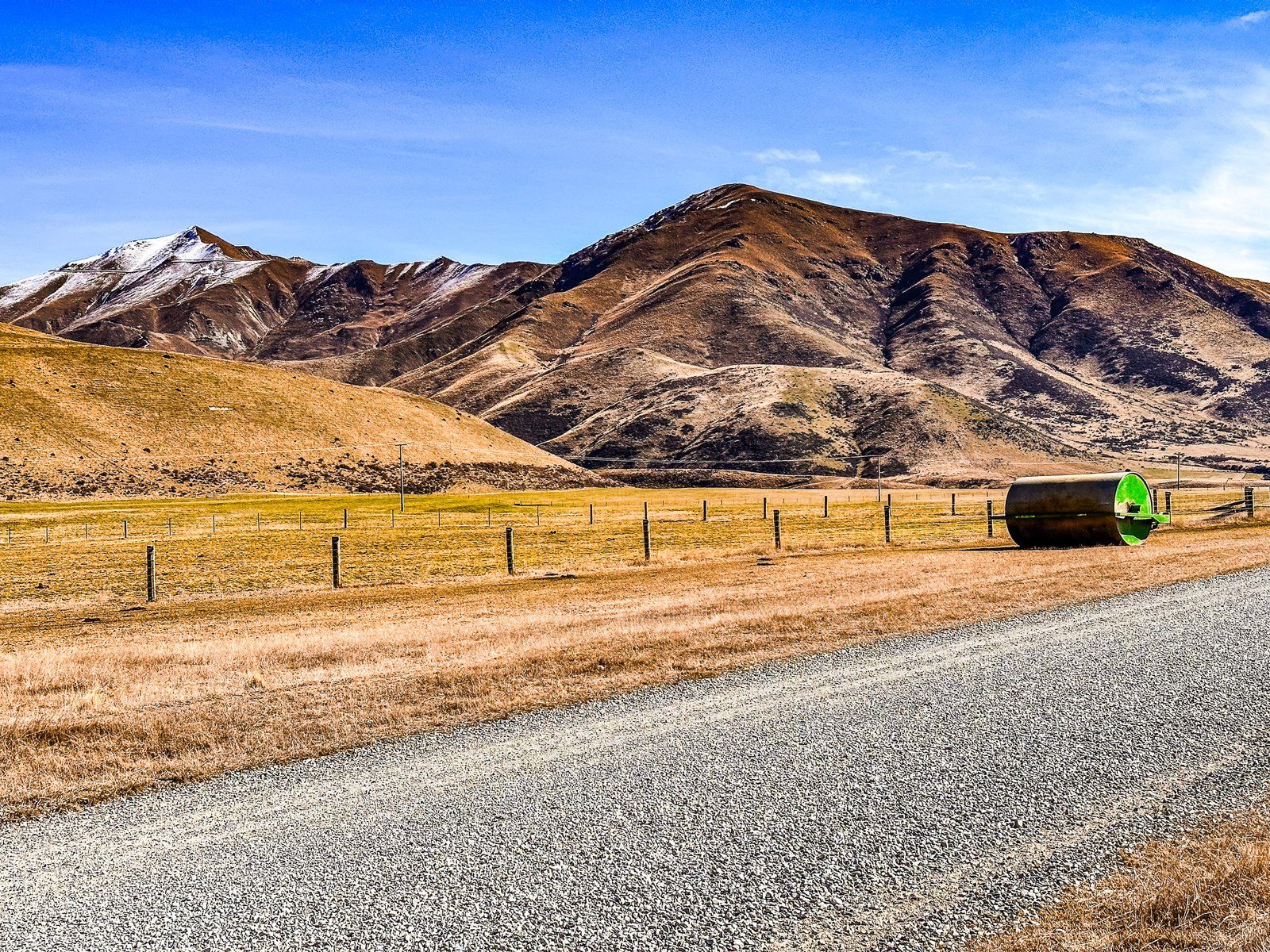
From there, the road noticeably deteriorated with many potholes. It is still doable in a 2WD but quite a lot slower. A bit further along from the wetlands is the boundary of the Ahuriri Conservation Park. This is another good river access point near the wetlands with seats and a toilet.
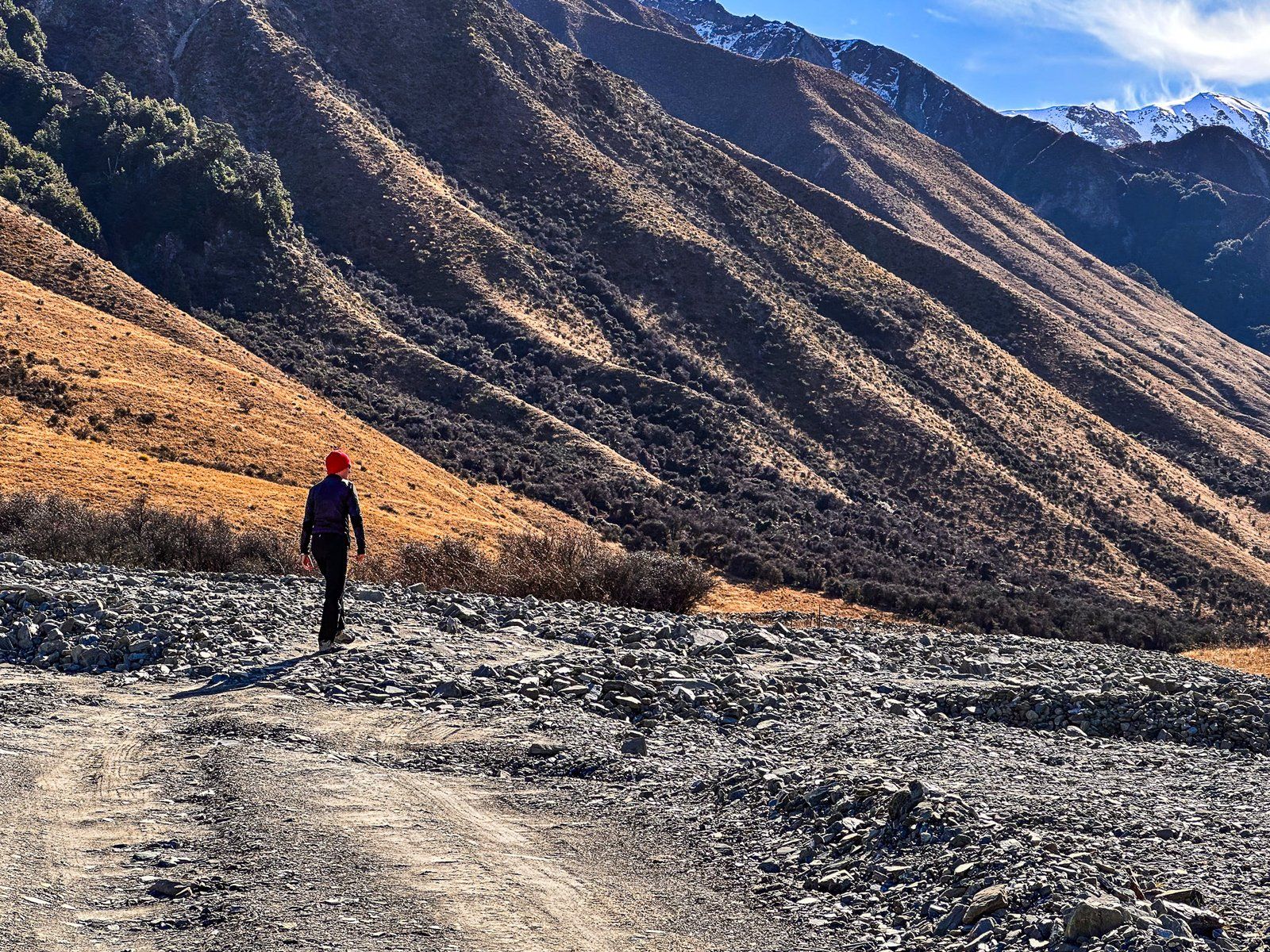
After this, the road reaches the Birchwood Picnic Area, a remnant of Birchwood Station, at the 21 km mark. There are several old farm buildings and a large open grassed area. This is also the end of the road for 2WD vehicles. The last 13 km requires a 4WD to cross road washouts confidently. A bike is another option for accessing the valley’s north end from the picnic area.