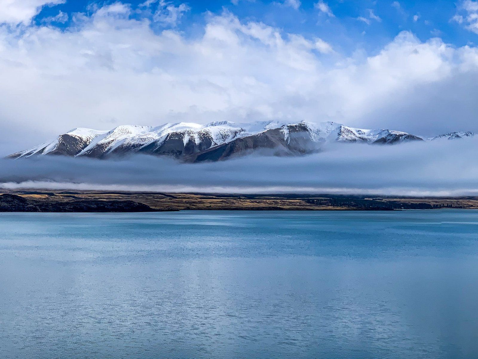
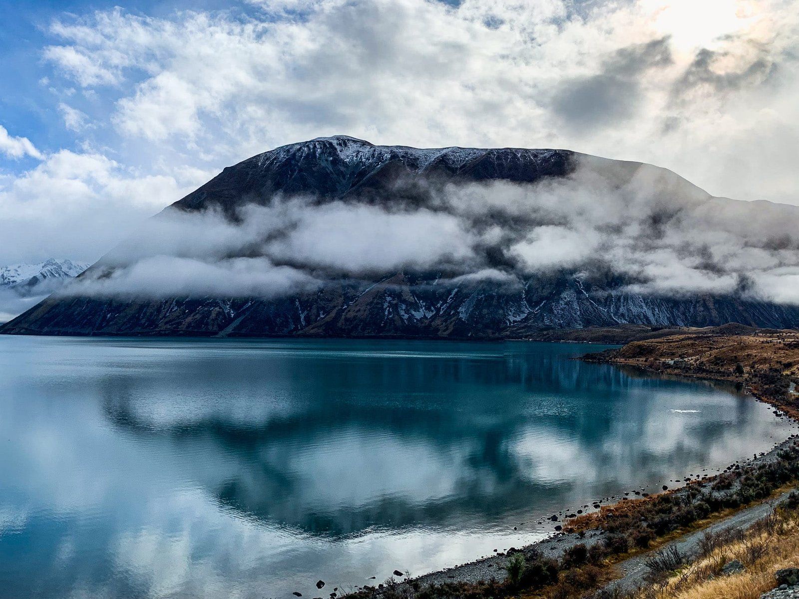
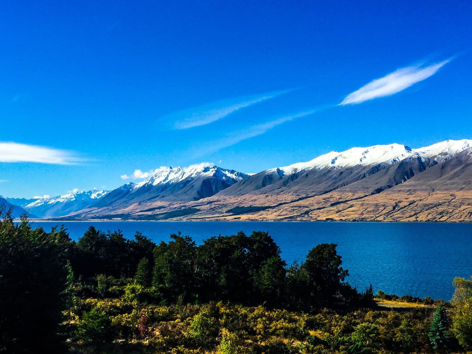
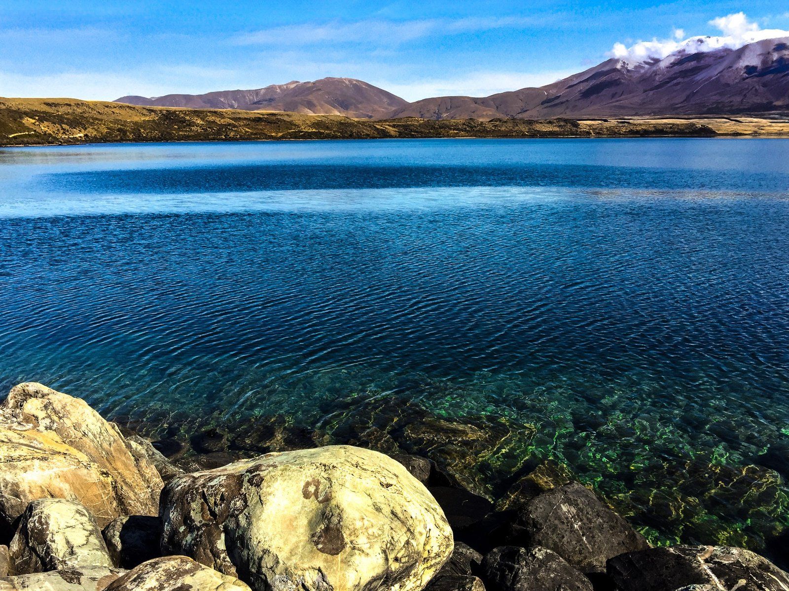
Lake Ōhau is a post-glacial lake in the Hopkins Valley of the Mackenzie Basin, South Island. The Lake is fed by two rivers that flow south from the Main Divide of the Southern Alps / Kā Tiritiri o te Moana. The Dobson River lies between the Ben Ōhau and Naumann Ranges, and the Hopkins River lies between the Nauman and Barrier Ranges. The peaks in these ranges reach 2,600 metres as they approach the Main Divide. They are particularly striking, with snowcaps from autumn to spring. Ben Ōhau, the mountain at the front of the Ben Ōhau Range, is notable with its rounded top and steep slip-prone face.
The lake is not as well-known as the larger lakes of Pukaki and Tekapo, requiring a side trip from SH8. However, there are numerous outdoor recreation options. These range from easy hikes and bike rides to hardcore alpine tramps. Tracks penetrate the Hopkins and Dobson Valleys, accessing remote parts of the South Island. Accommodation options include the small Lake Ohau Alpine Village and the long-standing Lake Ōhau Lodge west of the lake. There are also several DOC campsites if you want something closer to nature. From Lake Ōhau Lodge, you can drive to the Lake Ōhau Skifield in season.
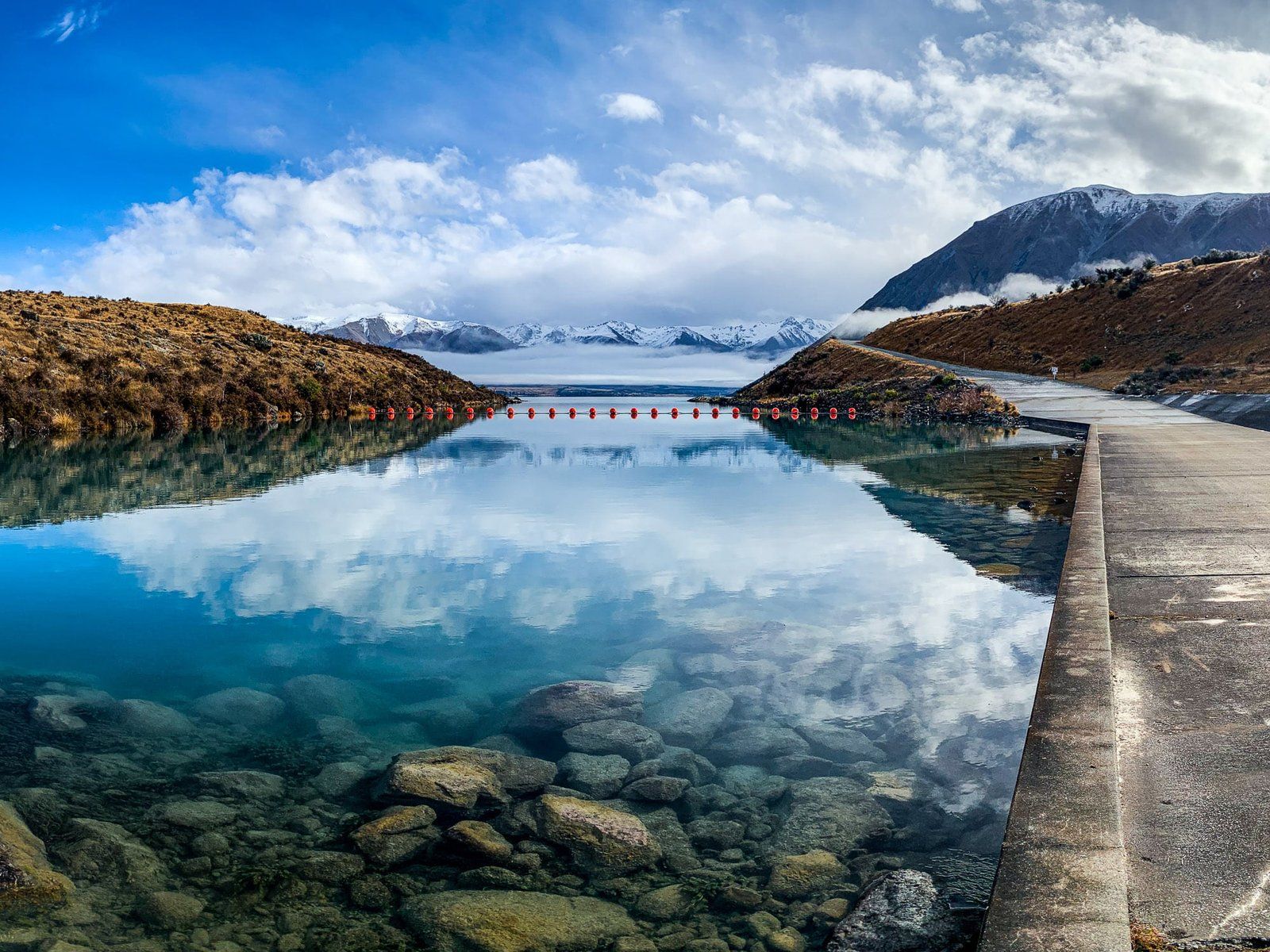
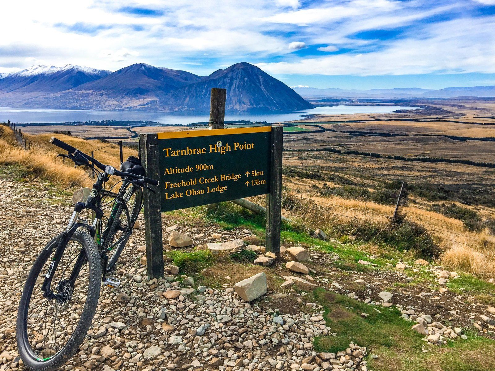
The most direct way to the Lake is via Lake Ōhau Road from State Highway 8, between Omarama and Twizel. This accesses the southwest end of the lake with hiking and cycling options near Lake Ōhau Lodge. These include the Tarnbrae Track, a section of the A2O, and the Freehold Creek Track, a section of Te Araroa that goes to the Ahuriri Valley. Continuing up the Lake on the road takes you to various DOC camping options, huts and tramping tracks in the Maitland, Hopkins, Temple and Huxley Valleys.
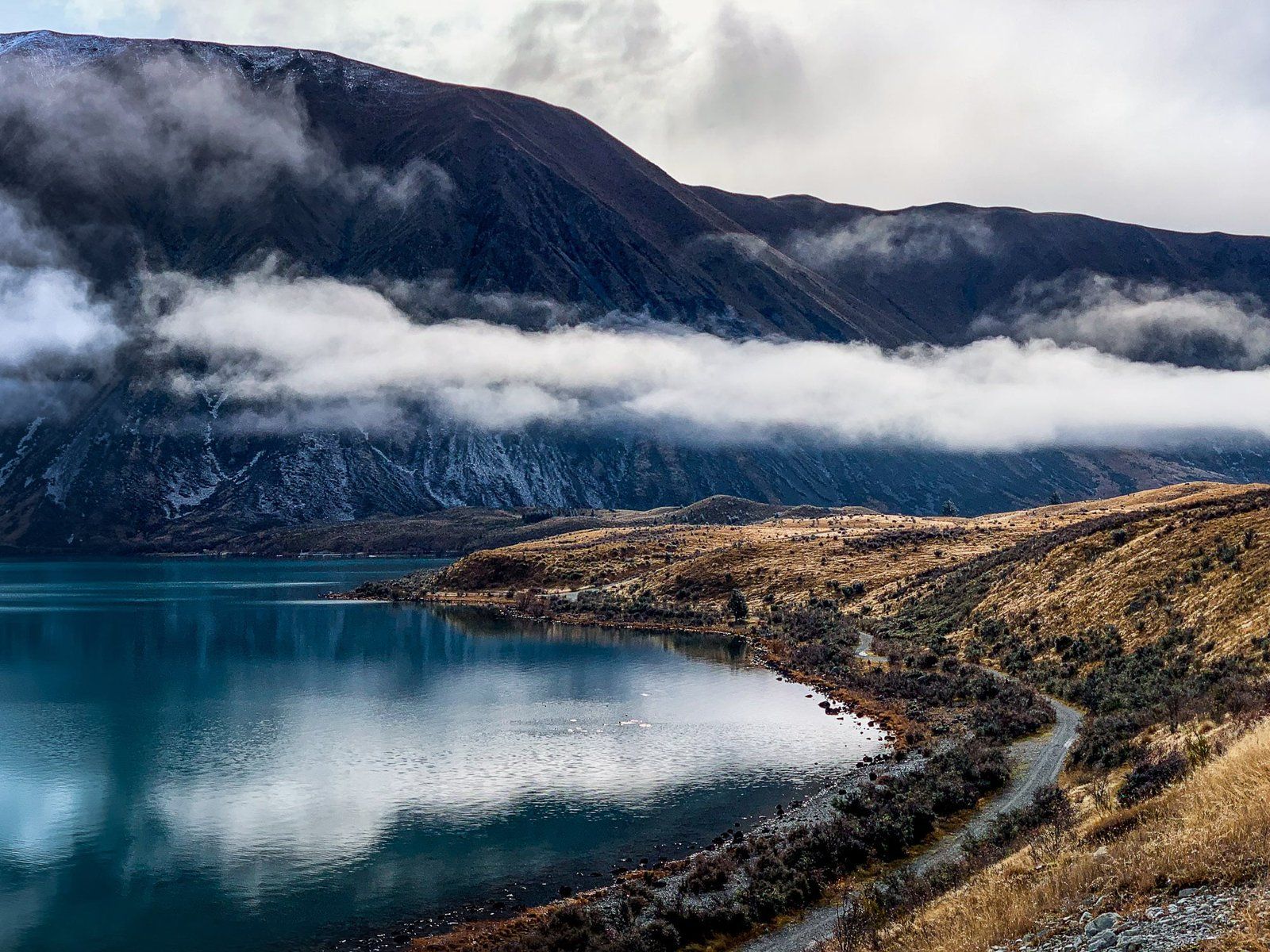
The other lake access option is to take Max Smith Drive past Lake Ruataniwha. From here, you can connect with the Ōhau Canal roads. This takes you to Glen Lyon Road and the lake’s southeast end near the Ōhau River Outlet. Glen Lyon Road then follows the east side of the lake into the Dobson Valley. There are various tramping options, including a 1000-metre climb to the top of Ben Ōhau and back.
The easy Lake Ōhau Track connects the two access points. This is a section of the A2O Cycle Trail and of Te Araroa.
The largest beach is at the west end of the Lake Ōhau Track. Here, you can find boards and a pou (carved post) that tells the Ngāi Tahu Lake Ōhau creation legend. It was dug by the Waitaha explorer Rākaihautū with his digging stick, Tūwhakaroria, along with the other South Island lakes. Certainly more magical than the erosive power of glaciers!
Pre-Europeans, Ngāi Tahu, visited Lake Ōhau as part of their seasonal food gathering patterns, harvesting tuna (eels) and birds. The first Europeans established some of the largest sheep stations in NZ here. These include the Benmore Station at 101,500 hectares and 65,000 sheep, opened in the 1870s, and Lake Ōhau Station at the north end of the lake. These high country stations were considered too big, broken up into smaller stations during WWI, and are still present today.
The lake is also known for its trout fishing. If you want to get more remote, head up the Dobson and Hopkins Valleys for river fly fishing.