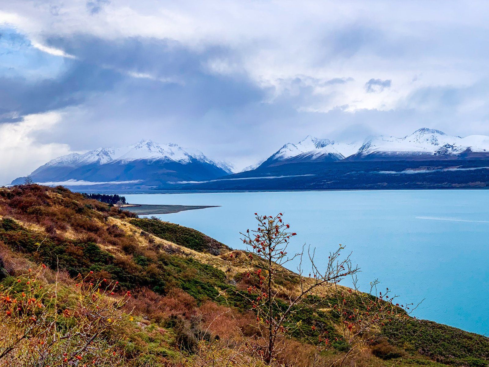
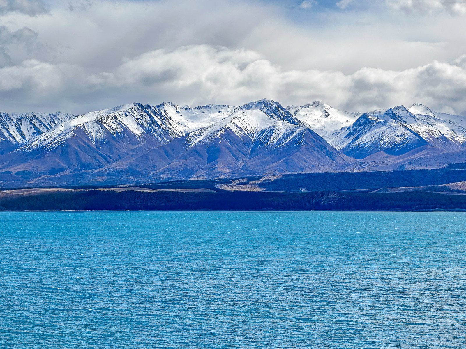
Lake Pukaki is a major post-glaciation lake at the head of the Tasman River in Canterbury’s Mackenzie Basin. It is fed mainly by the Tasman Glacier, the largest and longest glacier in the Southern Alps, and its terminal lake, Lake Tasman. The Glacier and Lake are on the north side of Aoraki, Mt Cook, and Mt Tasman.
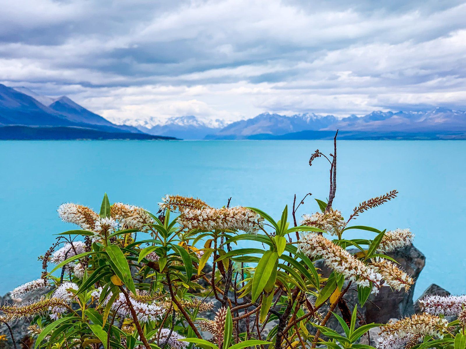
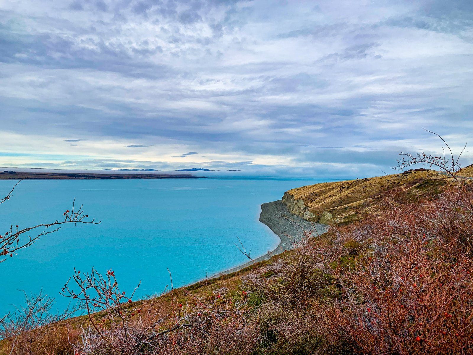
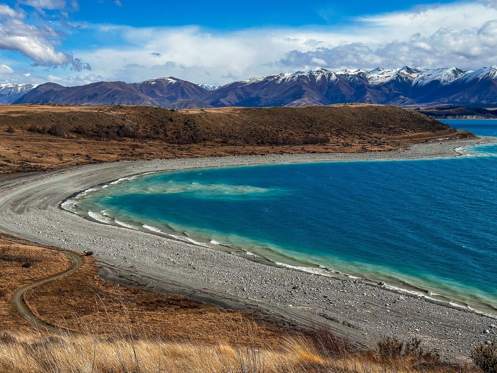
As a glacial lake, there is a relatively high concentration of finely ground-up mineral particulates in the water. Consequently, Lake Pukaki often has a turquoise colour similar to Lake Tekapo, depending on the light conditions.
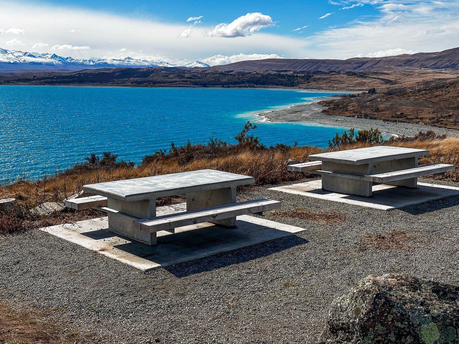
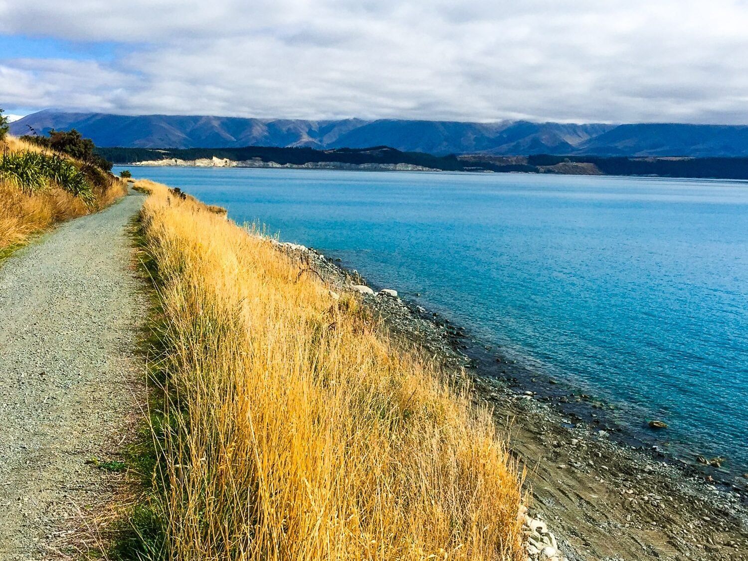
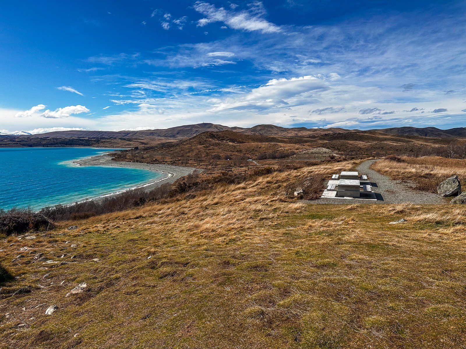
There is no town in Pukaki, but there are several parking areas with views across the lake. Several south-end viewpoints are directly accessible from State Highway 8 and the Alps2Ocean Cycle Trail that runs around the south end of the lake. On a clear day, you can see Aoraki Mt Cook and the central massif of the Southern Alps. At the largest parking area, a small shop specialises in fresh salmon from one of the local canal farms.
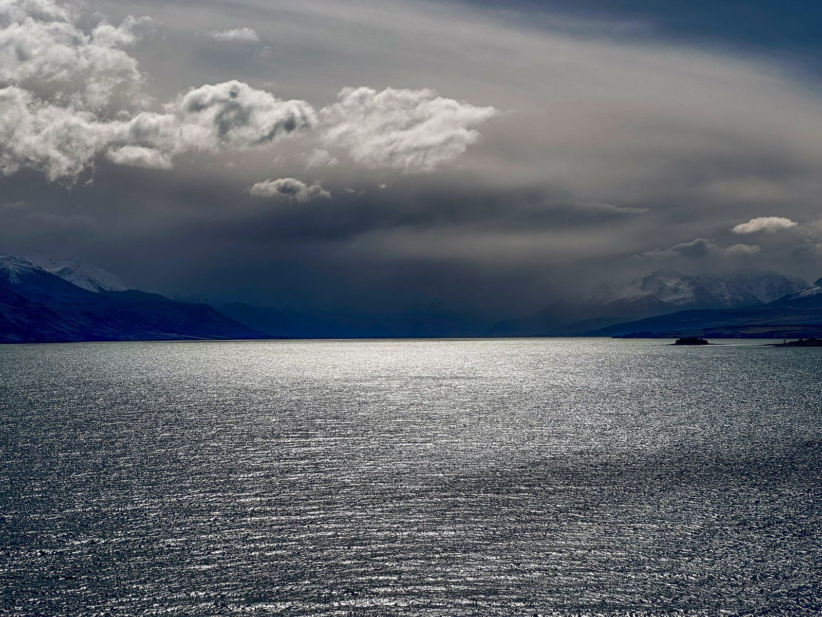
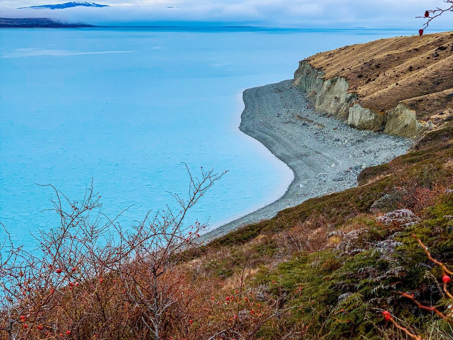
If you turn down State Highway 80 towards Mt Cook National Park, there is a major viewpoint with views up and across the Lake. Several other obvious roadside stops also offer views of the Lake and its sometimes steep-sided cliffs.
The Lake is also part of the Mackenzie Basin hydroelectric scheme, and the construction of the Pukaki Dam raised the water level. Most of the water flows to the Pukaki Canal, which links with the Ohau Canal and feeds Lake Ruataniwha and then Lake Benmore. State Highway 8 crosses dams at the south end of the lake, and you can access views of the dam and the canal from the highway.