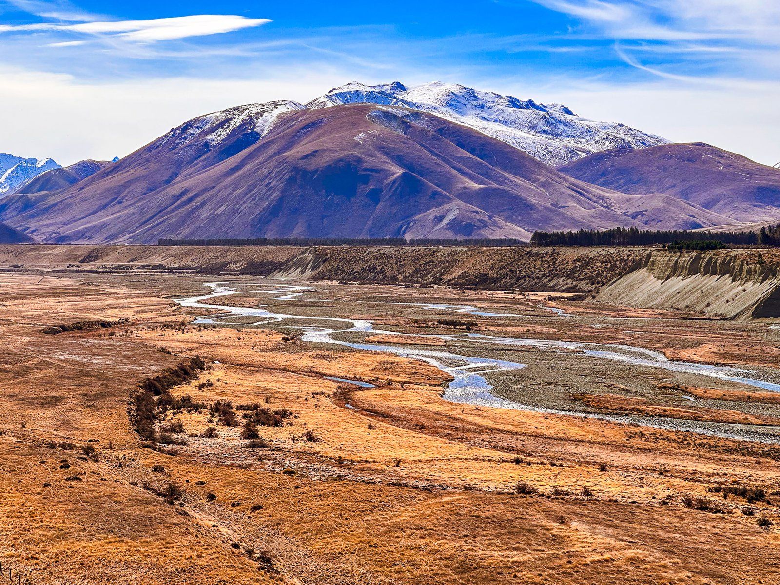
The Ahuriri Valley is a beautiful glacial valley on the eastern side of the Main Divide of the Southern Alps, Canterbury. Access is on Birchwood Road, with the turnoff from State Highway 8 near the northern end of Lindis Pass. The main features of the valley are the Ahuriri River and surrounding mountains. These rise from around 1200 metres at the valley’s south end to over 2200 metres as the valley narrows. Here, you find yourself between the Huxley and Barrier Range to the north.
The first half of the valley is relatively dry and farmed by high-country sheep stations, Ben Avon and Longslip. The stations provide easement access to conservation lands and mountains on either side of the valley and various hiking tracks.
After passing through Ben Avon and Longslip, you are in the 49,000-hectare Ahuriri Conservation Park. This was Birchwood Station until 2004 when the Nature Heritage Fund bought it. The valley starts to narrow, and beech forests appear on the side of the mountain ranges, snow-capped in winter. You can drive to the Birchwood Picnic Area (with various old farm buildings) in a standard car. Beyond that, it is 4WD to the end of Birchwood Road.
You can hike into the valley on the Ahuriri Valley Track or along Canyon Creek in the Huxley Range. As it is conservation land, you can camp anywhere, in addition to several small DOC huts.
The Ahuriri Glacier carved out the valley in the last ice age. It extended 40 km from 2505 metre Mount Huxley at the head of the valley. The local temperature warmed over 6 degrees from the end of the last ice age. Hence, today there are only high remnant glaciers in the Huxley range. The largest is Thurneysen Glacier, which sits on the south side of Mount Barth. It can be approached on the Canyon Creek Track from the end of the road.
The river and valley are named after the Ngāi Tahu chief, Tu Ahuriri. For Māori, it was an option for accessing pounamu (greenstone) on the West Coast. However, it was more arduous and less attractive than taking Lindis Pass. Māori also used the Ahuriri Valley as a kāika nohoaka (seasonal settlement) and kāika mahika kai (food-gathering place).