Is Banks Peninsula Horomaka the most underrated travel attraction in Aotearoa New Zealand? About an hour from Christchurch, Akaroa is a wonderful and well-known destination. Similarly, the Port Hills between Christchurch and Lyttelton Harbour are a prominent feature of the city, and the Harbour is known for its attractive port town, Lyttelton. But there is more to this rugged peninsula than a port and a view of the hills.
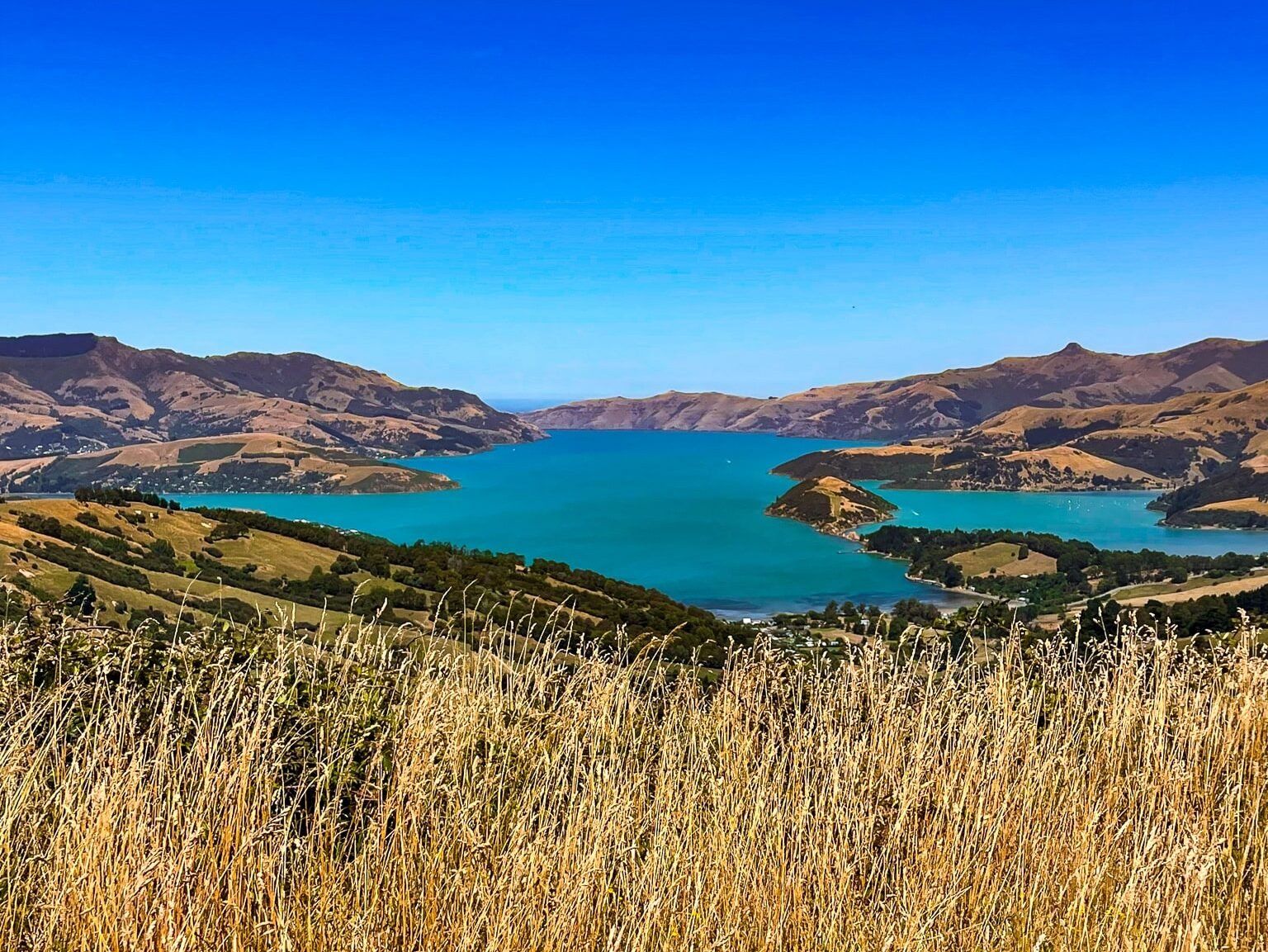
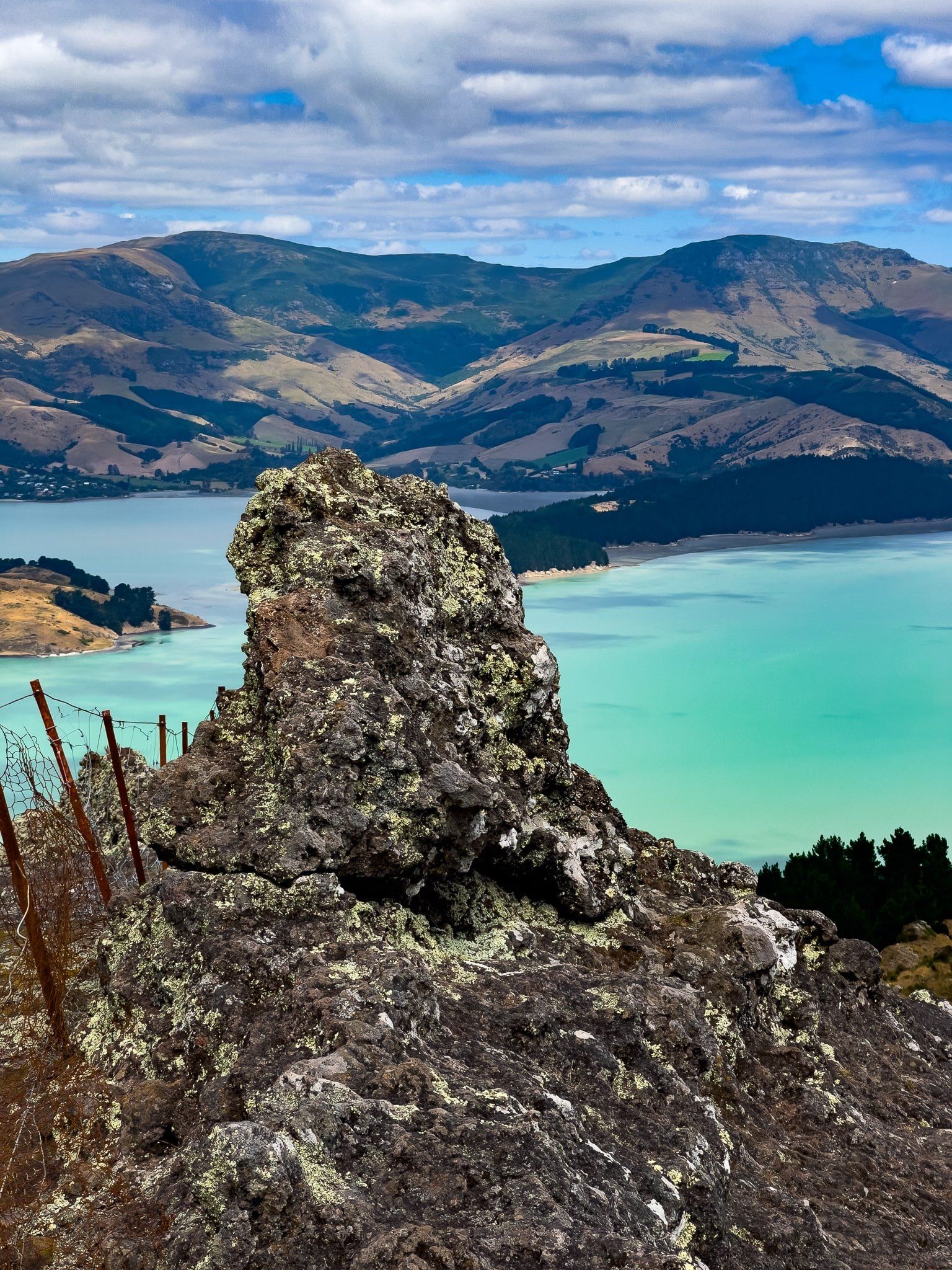
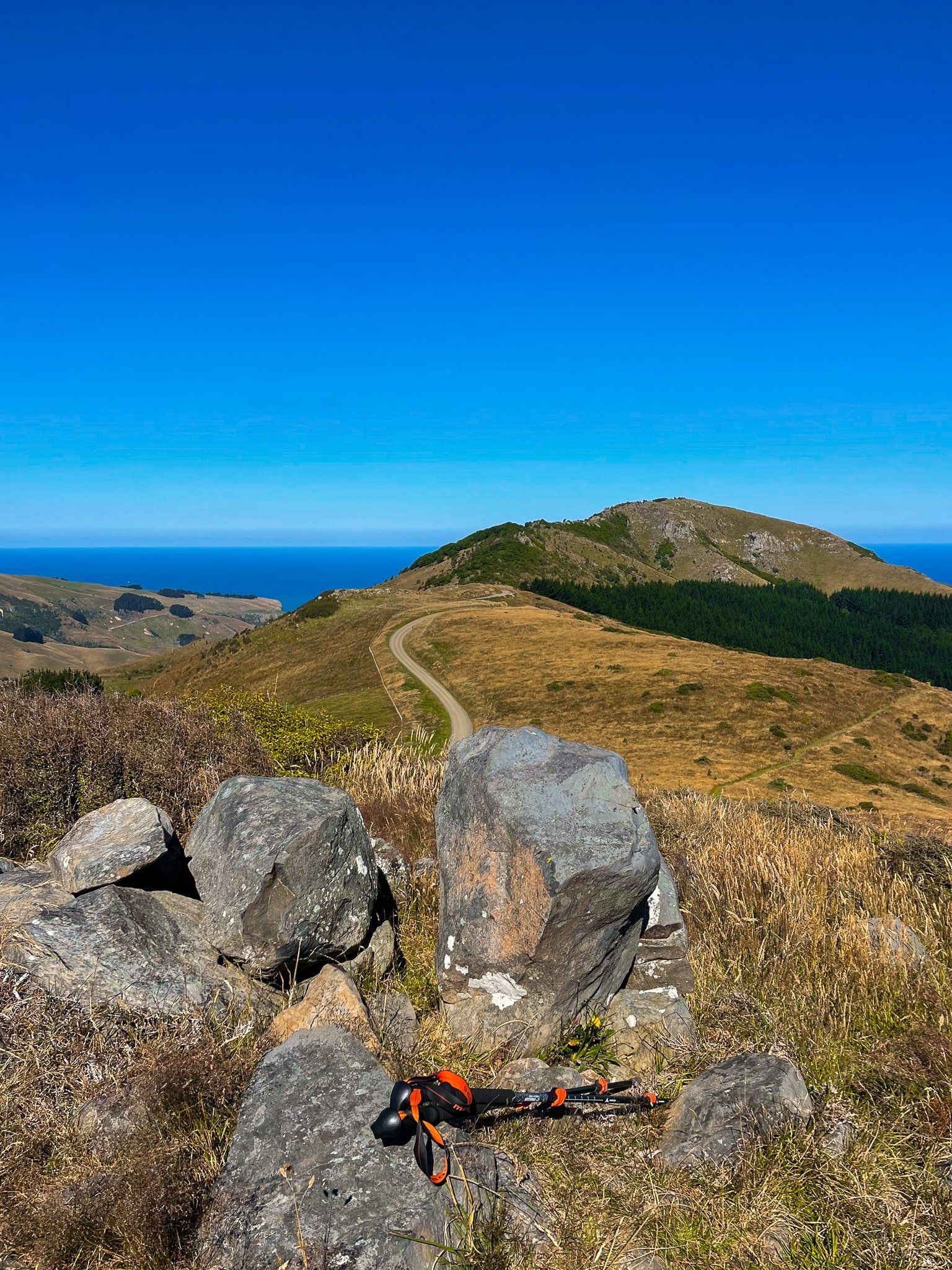
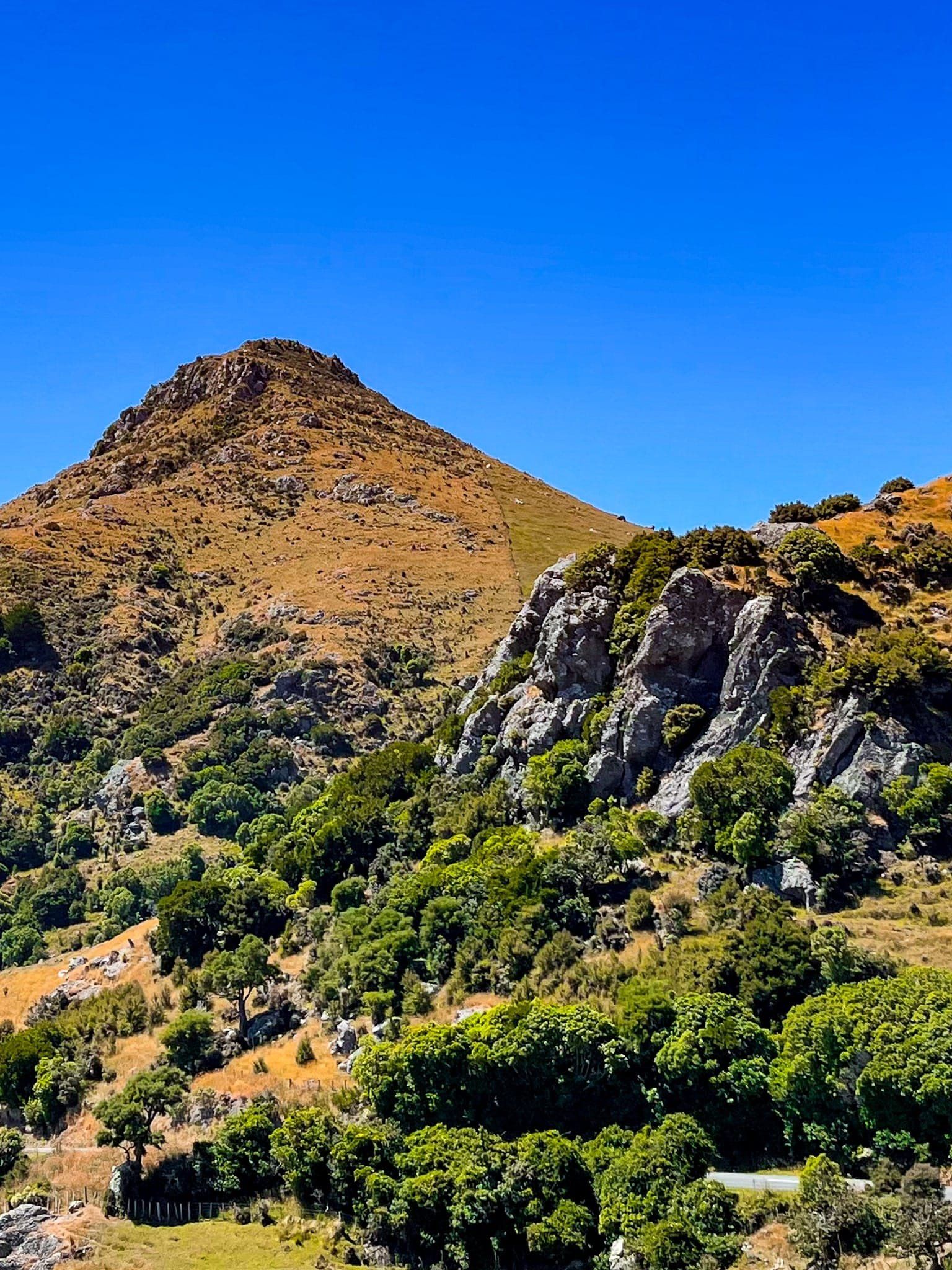
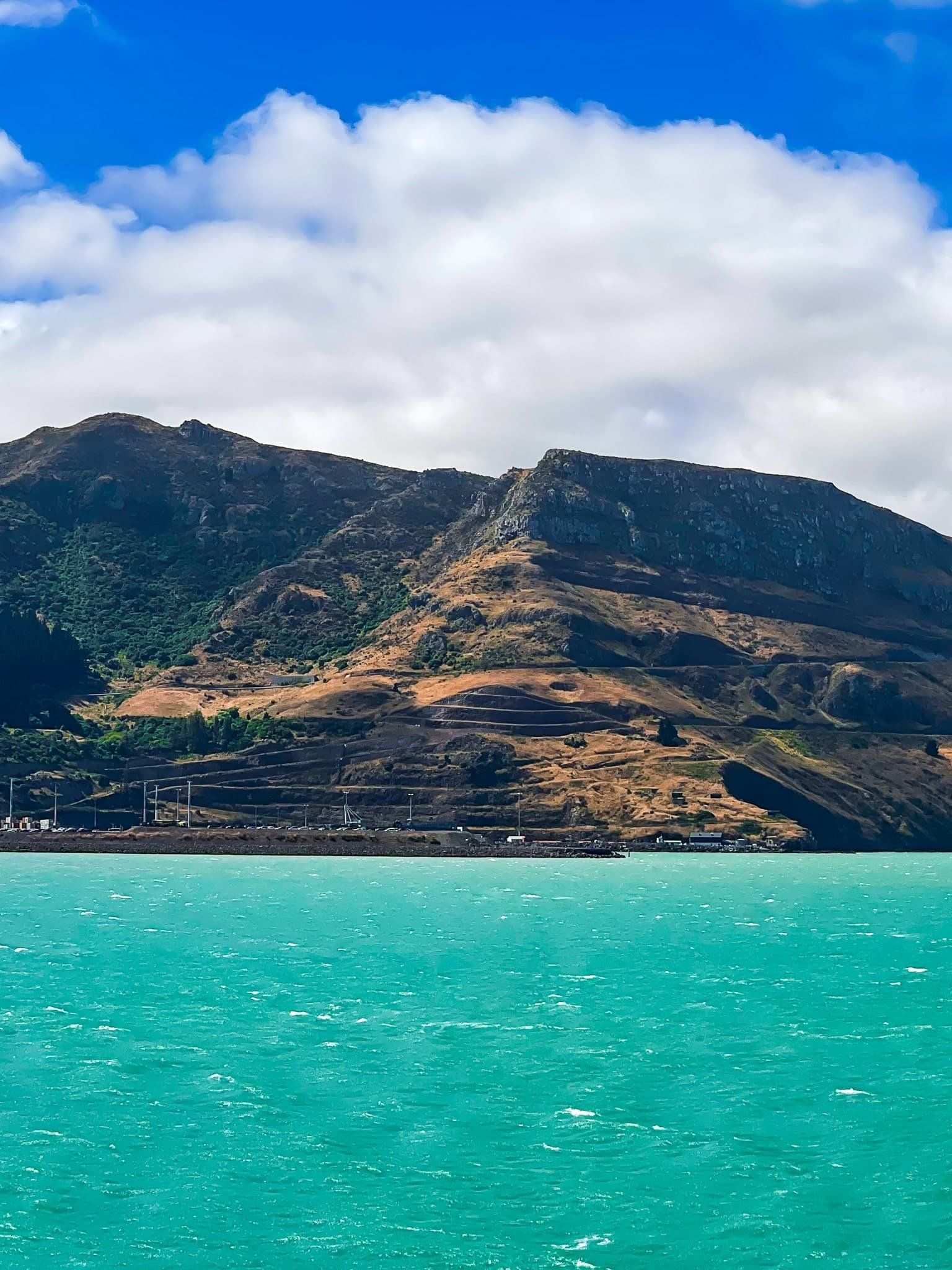
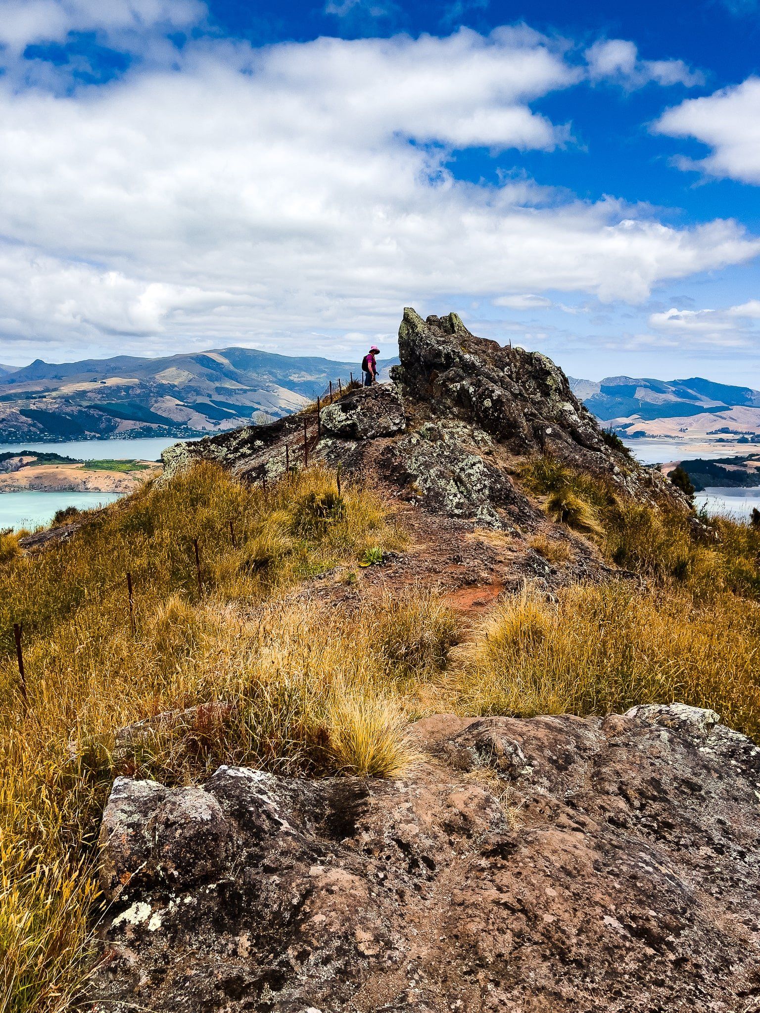
Perhaps the most interesting thing about Banks Peninsula is its ancient volcanic nature. Lyttleton and Akaroa harbours dominate the peninsula's geography; both are giant craters. The surrounding hills are the crater rims, with rocky peaks and crags. They date back eight to eleven million years, with another volcano, Mt Herbert, at 919 metres, filling in between the two craters. The crater rims are high, around 700 metres in some places. Each rim has a “Summit Road”, accessible by car, bike and foot in the case of the Port Hills, and by car for Akaroa Harbour. Both roads offer spectacular views.
Road access to the peninsula is normally via the Lyttelton Tunnel or State Highway 75 from Christchurch along the peninsula's south side to Akaroa. A more interesting alternative is to take Dyers Pass Road from Christchurch. This rises 350 metres up the face of the Port Hills and connects with Summit Road (Lyttelton crater rim) at Sign of the Kiwi. The views are spectacular, and there are multiple walking and cycling tracks along the crater rim, plus the road.
There are also numerous confusing place/reserve/track names. Time spent with a good map before you start will be worth it. Walking and cycling trails from the city to Summit Road, or a gondola to Mount Cavendish on the rim overlooking Lyttelton, are also options.
From Sign of the Kiwi, drive around the south side of the crater rim on Summit Road (Lyttelton) to Gebbies Pass. From Gebbies Pass, head left to connect with Charteris Bay Road to go around the south-to-east side of the harbour to Diamond Harbour. This is another attractive harbour town with a walk around the cliff and reserve next to the bay. This is also the best access to Port Levy and a series of walking tracks around Mount Herbert. Heading right at Gebbies Pass connects with State Highway 75 to Akaroa. Turn-offs to Summit Road Scenic Route on the Akaroa crater rim are signposted at Hilltop and shortly before Akaroa.

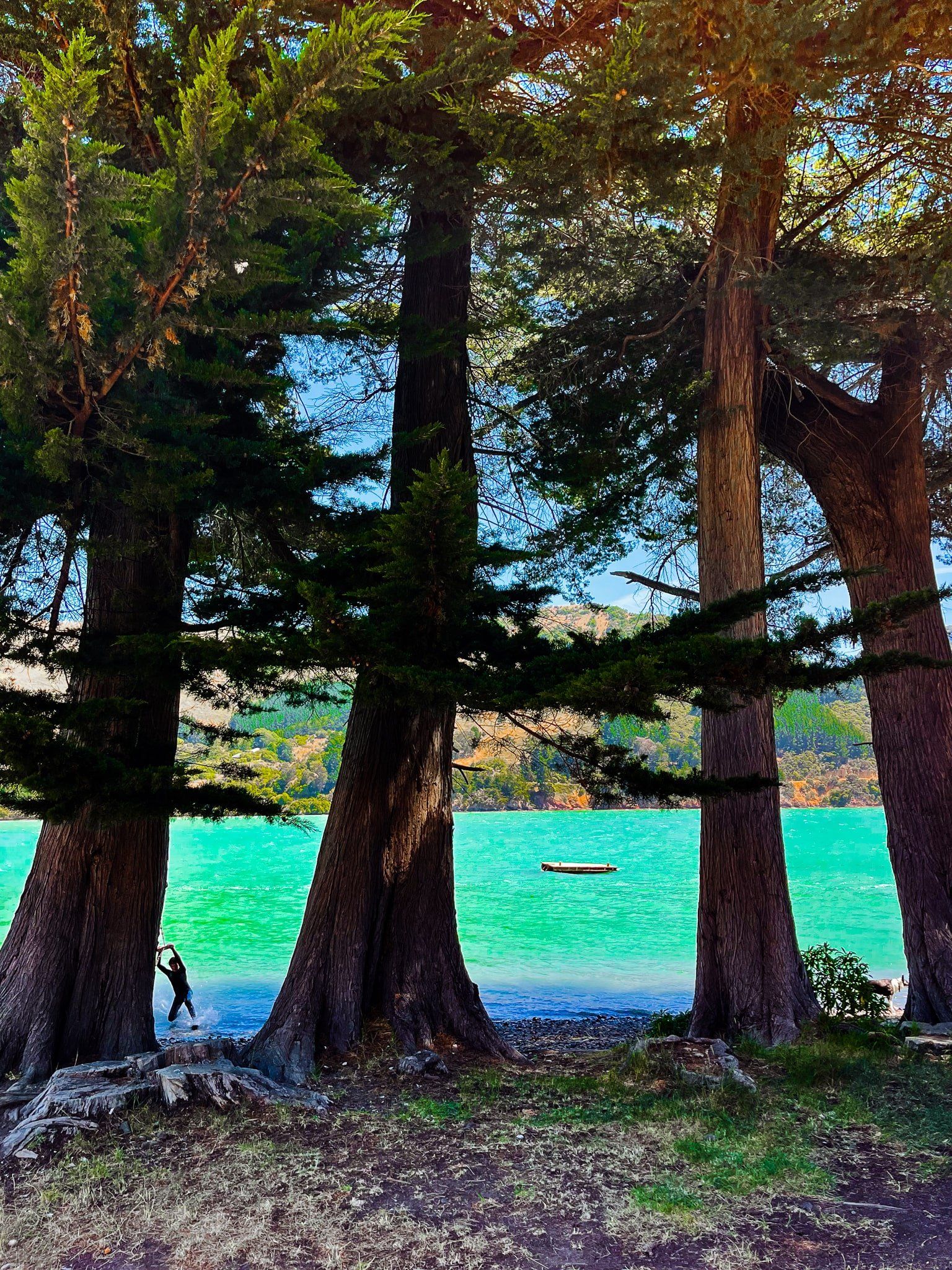

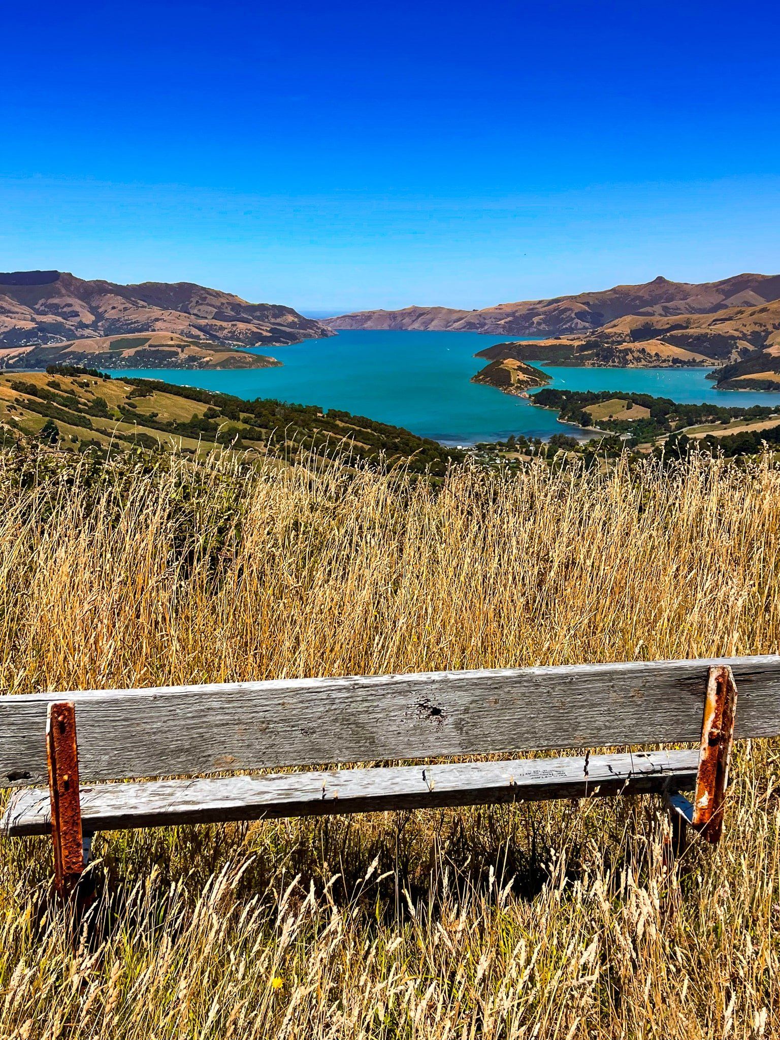
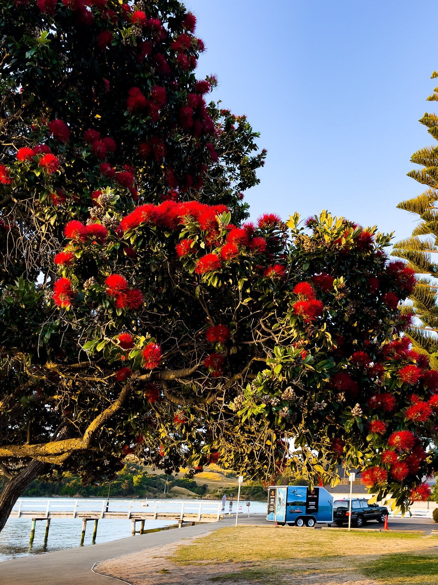
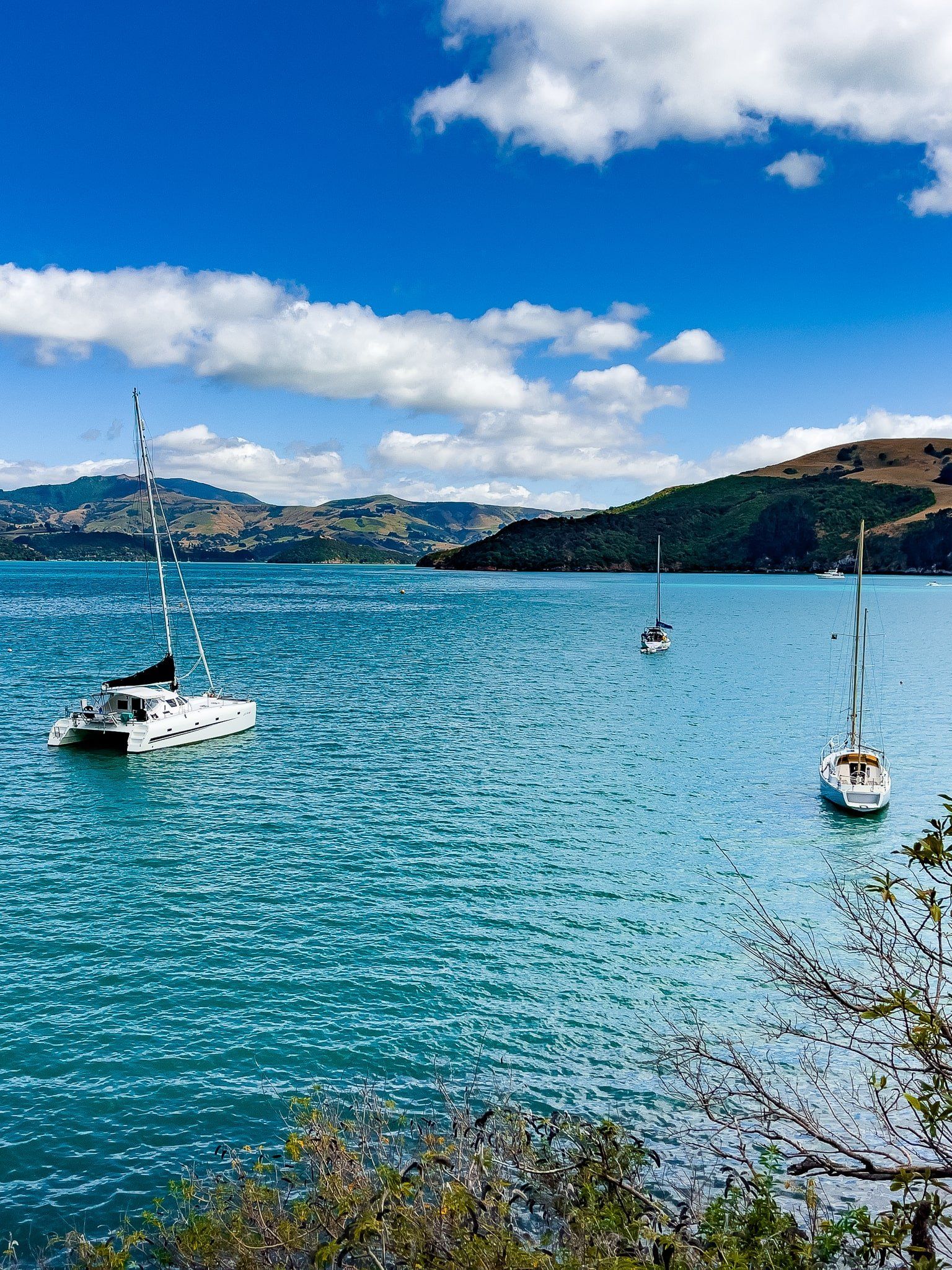
Akaroa is best known for its harbour, which is home to dolphins and other wildlife, and its French settler origins. But it’s also easy to explore some of the peninsula's 50 bays from the town. When the volcanoes erupted, the lava flows created fingers, with the areas in between eroding into valleys, bays, and beaches.
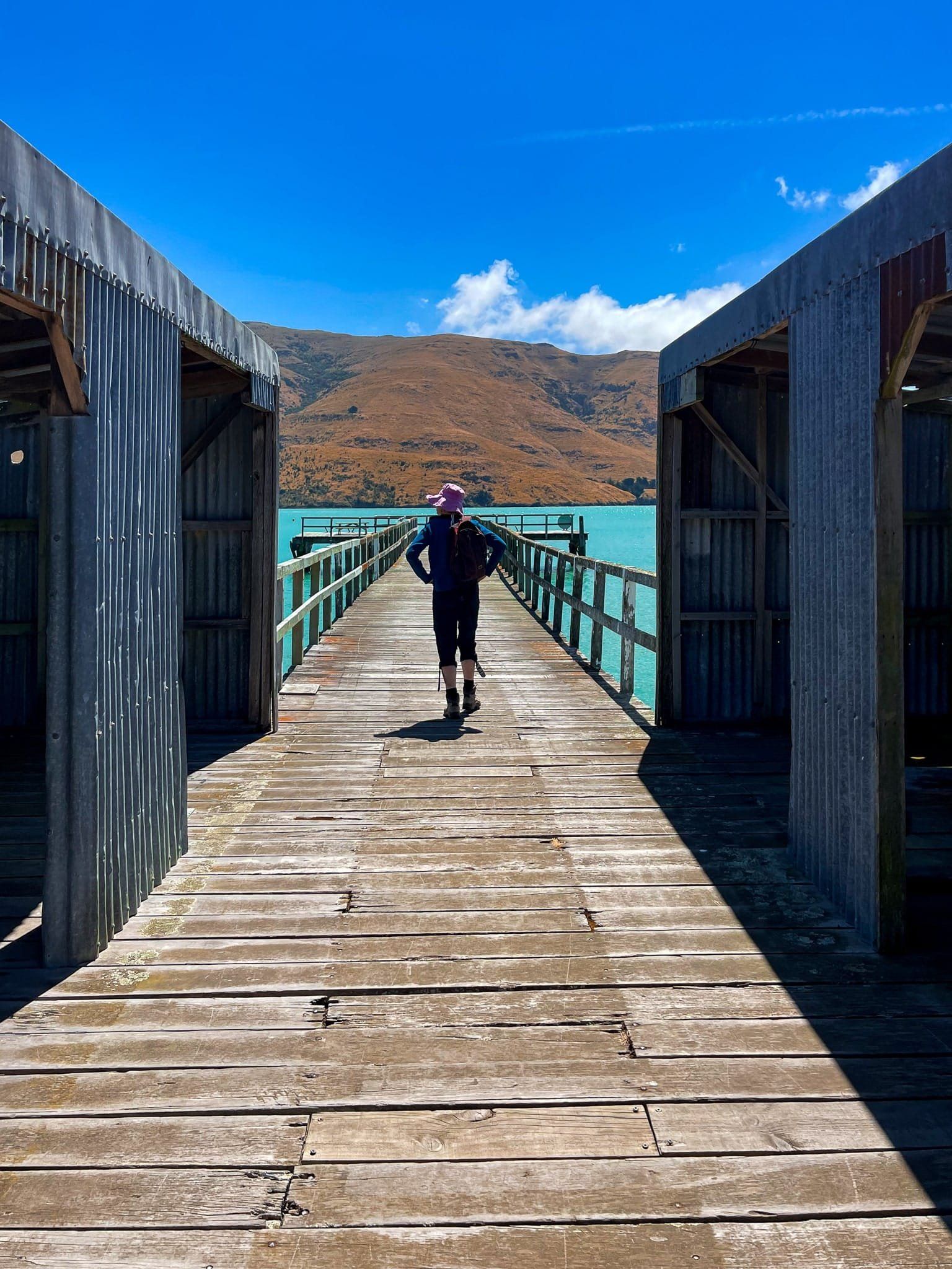
Most of the bays can only be reached by boat. However, several, mainly on the northeast side of the Akaroa crater rim, are accessible by car from Summit Road. These include Le Bons, Okains, Little Akaloa, Pigeon Bay and Port Levy. The first two are particularly pretty. But all are surrounded by high hills and feature incredible turquoise-coloured water. They are only a 30-minute or so drive from Akaroa, except for Port Levy.
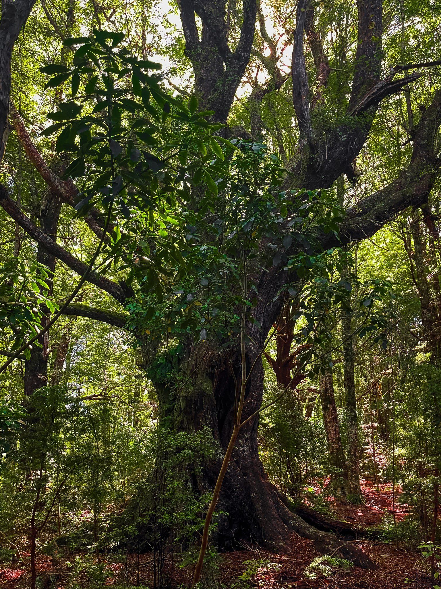
There are also some beautiful remnant and recovering forests accessible from Akaroa. Ōtepātotu and Hinewai Reserve on Summit Road are a 10 to 15-minute drive from Akaroa The peninsula is mostly farmland as European settlers harvested the dense forests within a generation of arriving in the bays and harbours. The remaining forests give some insight into the peninsula pre-1850s. The superb Okains Bay Museum tells the stories of these settlers.


-43.7014,172.6189