Lyttelton was the landing site for the first four English settler ships in Canterbury in 1850. The port town was established below the north rim of the Lyttelton volcano crater – the Port Hills – and Christchurch was built on the north side of the crater.
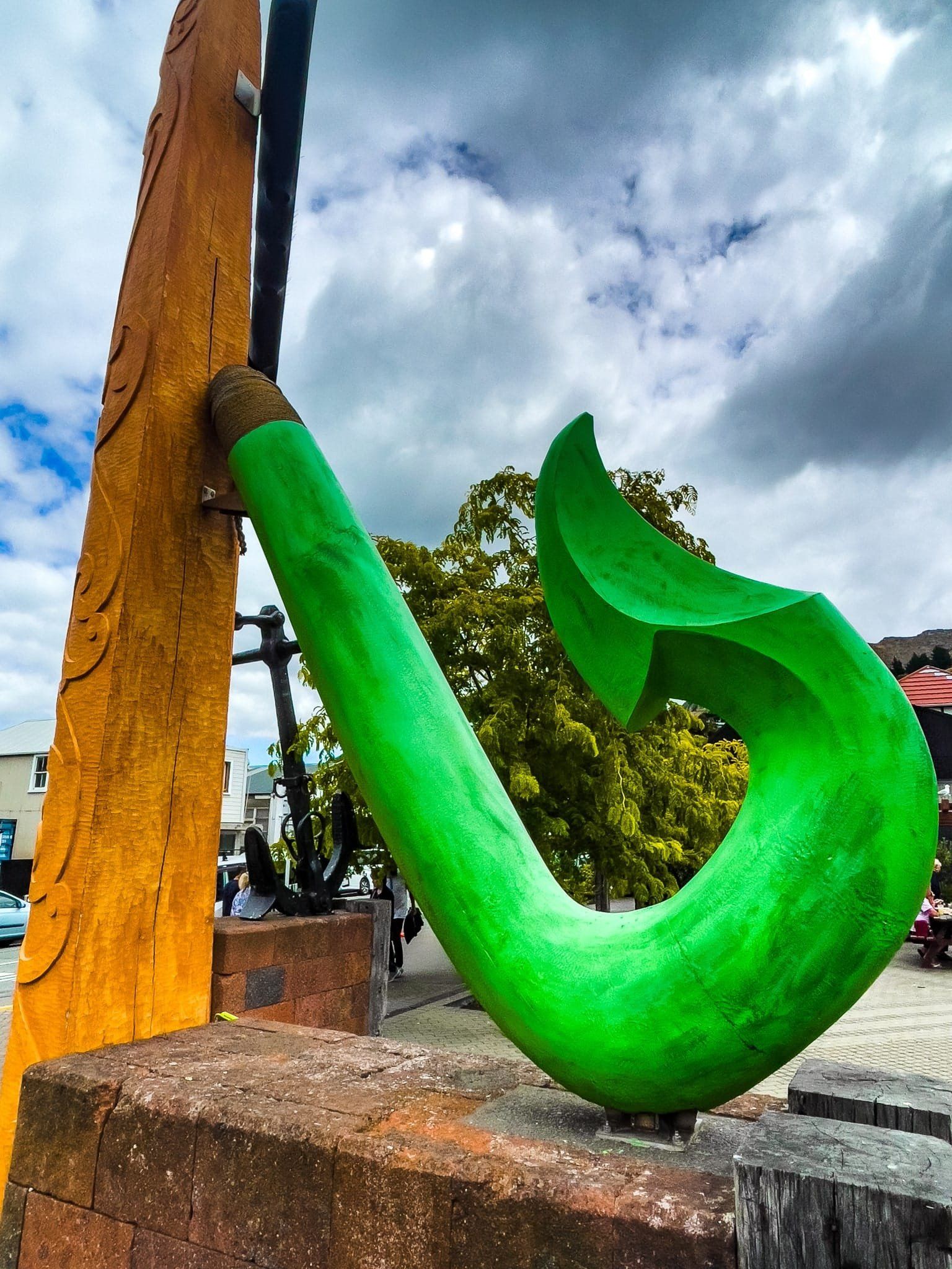
The settlement was specifically Anglican-oriented and led by George Lyttelton, 4th Baron Lyttelton. The town had a couple of names before being formally named Lyttelton in 1858. At the time, local Māori had a much more interesting name, Ōhinehou, which refers to a young girl (hine) who longed to go away with the fairies (patupaiarehe) and eventually got her wish.
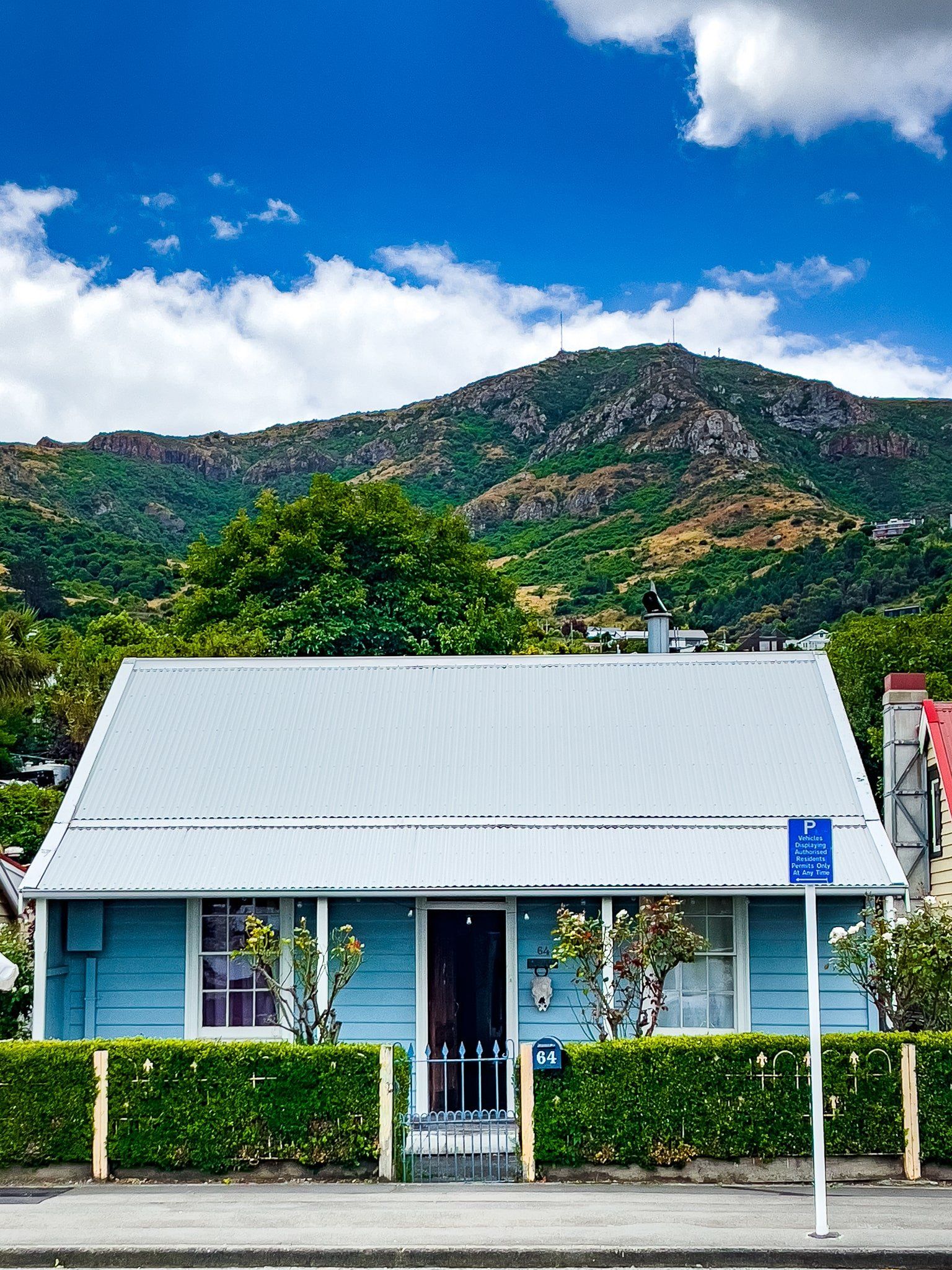
Despite being an excellent port, the high crater rim always constrained the town’s development. Hence, the town stayed at around 3,000 people, almost all of whom have a view to die for. It has also maintained much of its settlement-era heritage. Sadly, it was badly damaged in the 2011 earthquakes, with the collapse and demolition of many of the town’s churches, including Canterbury’s oldest stone church, the Holy Trinity.
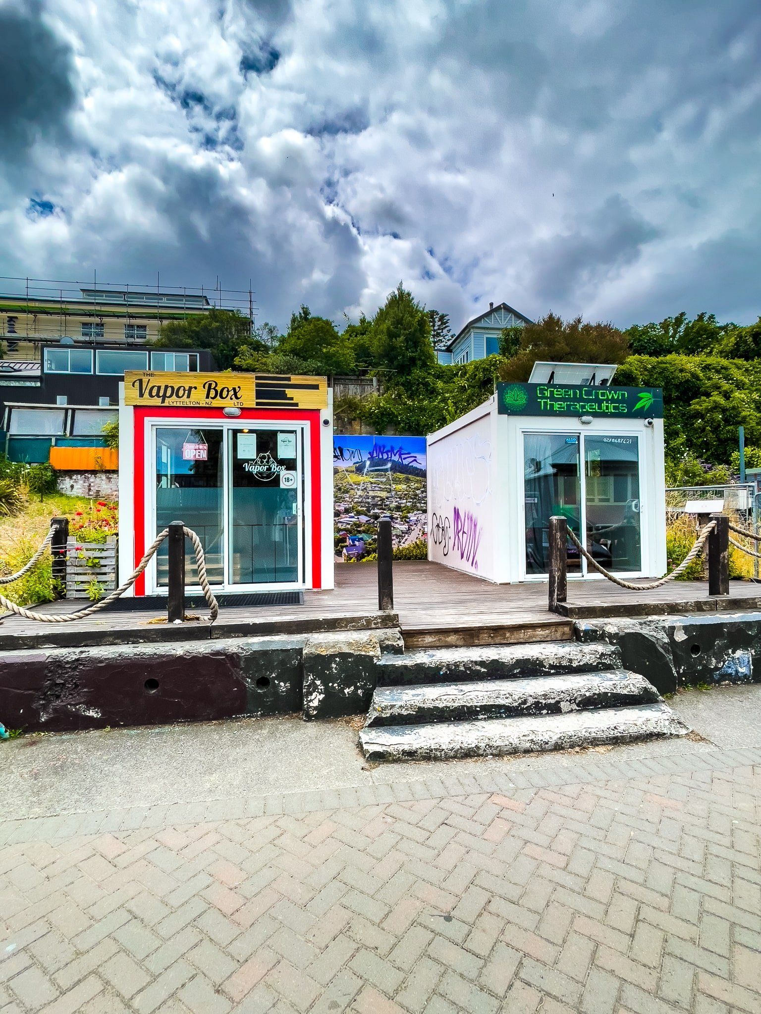
This very scenic town has mostly recovered today, albeit with the odd gap and pop-up store in its main streets. If you like markets, aim to be there on Saturday morning, then head to one of the local cafes.
You can also hike/bike up to the top of the crater rim on the Bridle Path, the first track for European settlers over the Port Hills or on the Major Hornbrook Track to Mt Cavendish. These start from Bridle Path Road and Ross Terrace, respectively, and only take about an hour to return, with a 200-metre climb. Alternatively, you can do them as a two hour loop.