Is Banks Peninsula the most underrated travel attraction in Aotearoa? Akaroa is well known, was long on our list for a visit and is finally a partially-ticked box. Partially, because it turned out the Peninsula is way cooler than expected and we will need to go back a few more times!
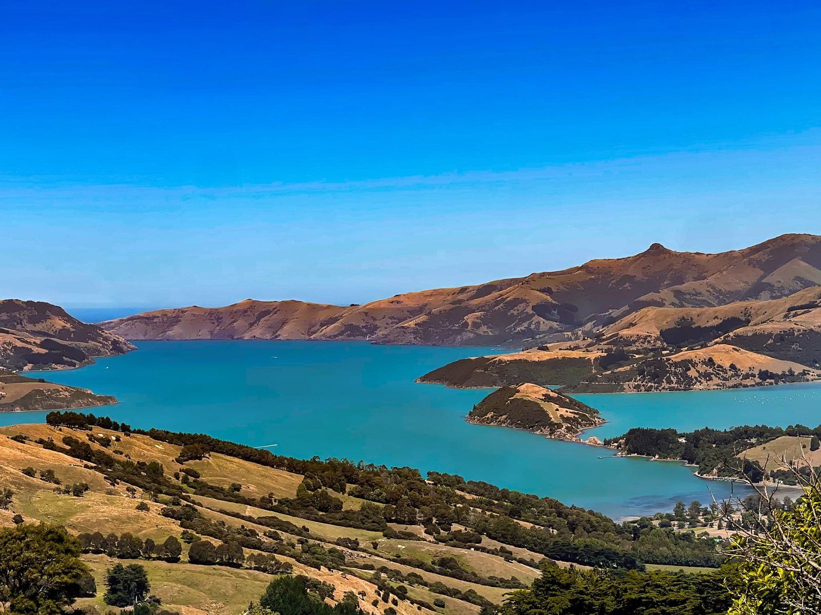
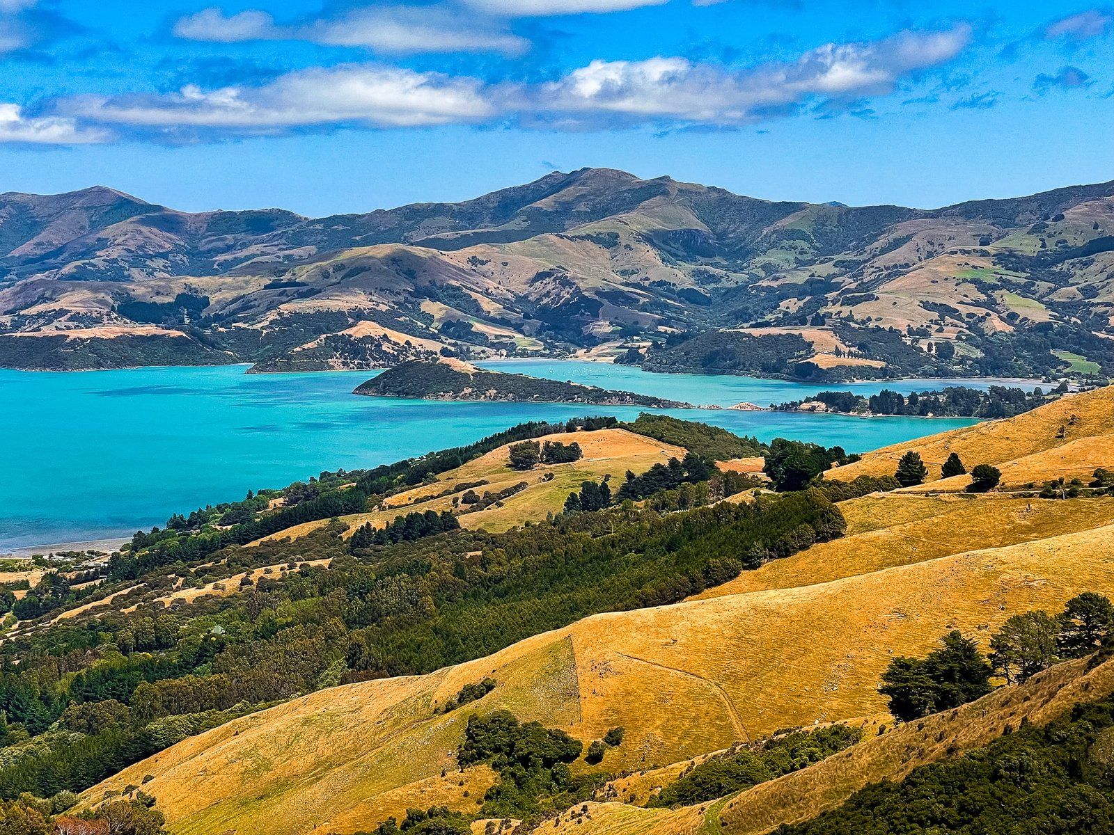
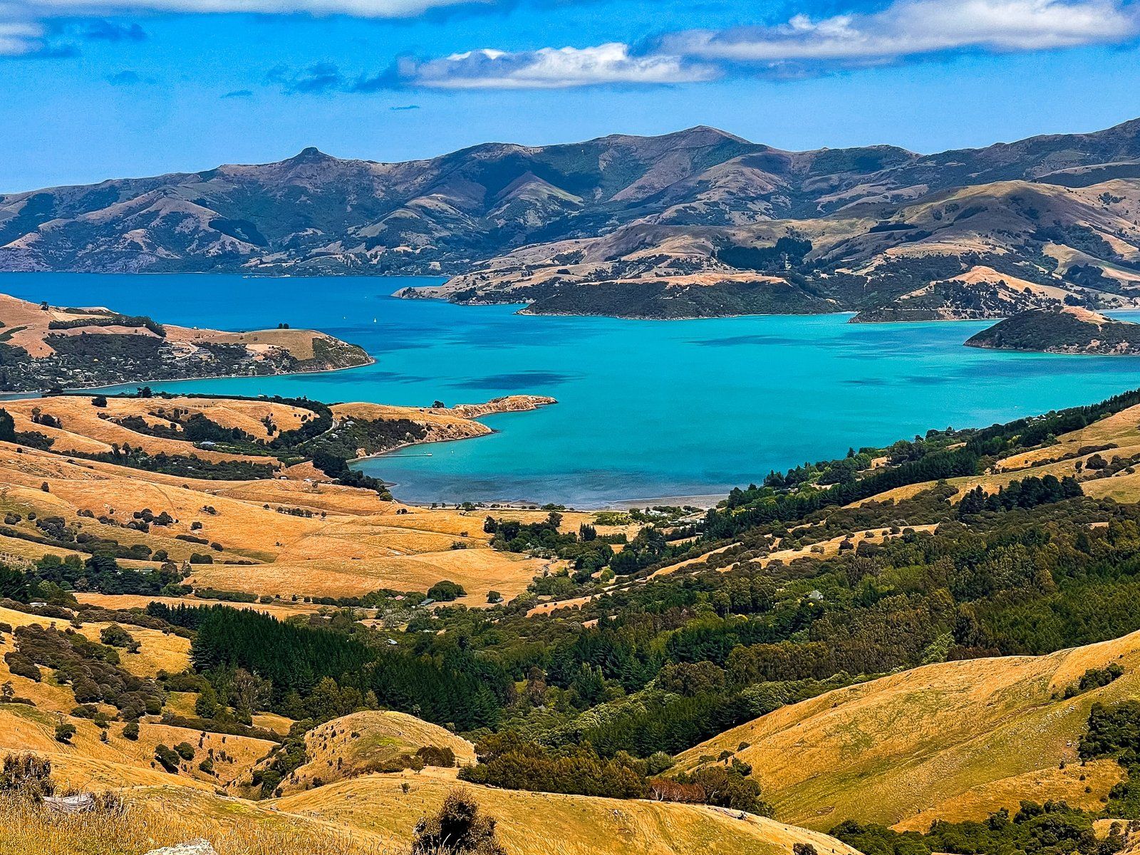
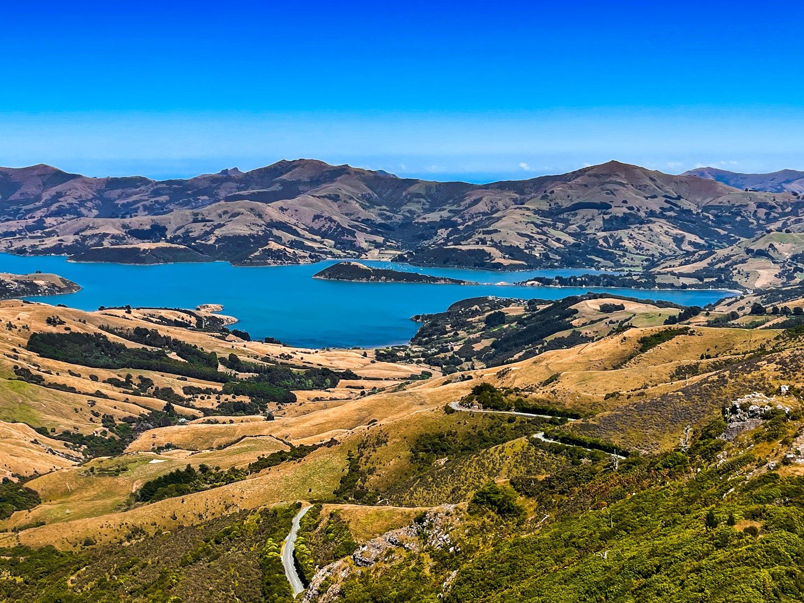
The most interesting thing about the peninsula is its volcanic origins, with the large harbours of Lyttleton and Akaroa being ancient craters, and the surrounding hills the crater rims, complete with rocky peaks and crags. These date back eight to eleven million years, with other volcanoes, especially Mt Herbert at 919 metres, helping to fill in between the two big craters.
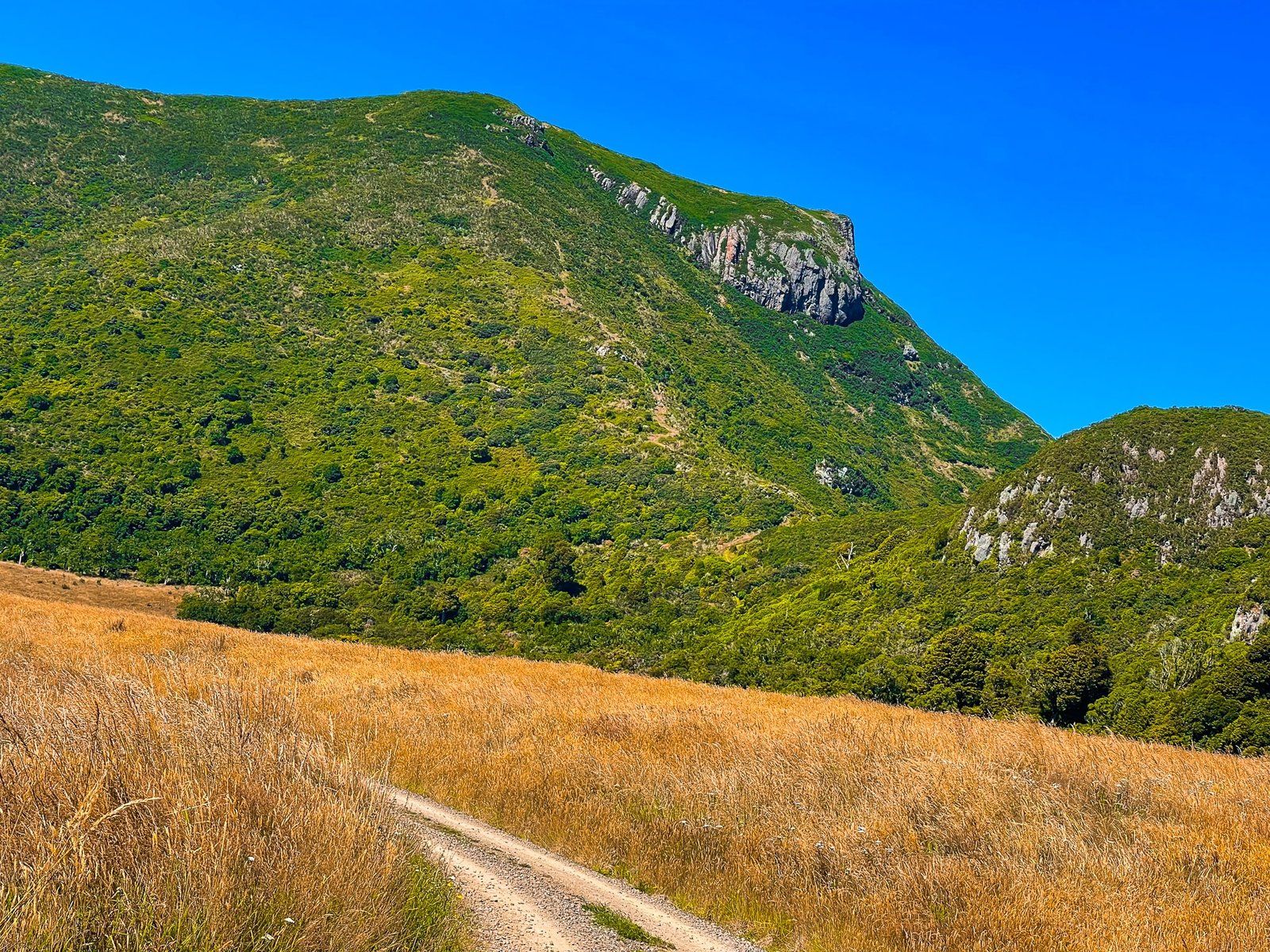
The crater rims are high, around 700 metres in some places, and accessible by car, bike and foot. This makes for some of the best coastal views in the country. Have a look at Banks Peninsula on Topo Maps NZ to get a sense of the scale of the craters.
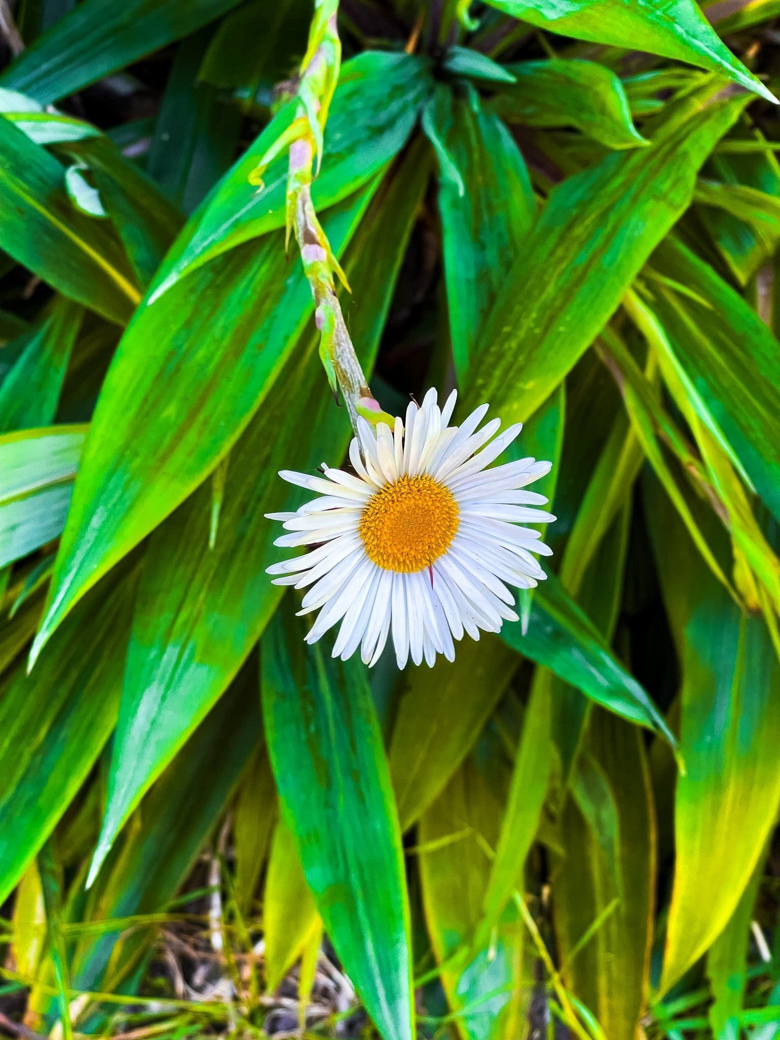
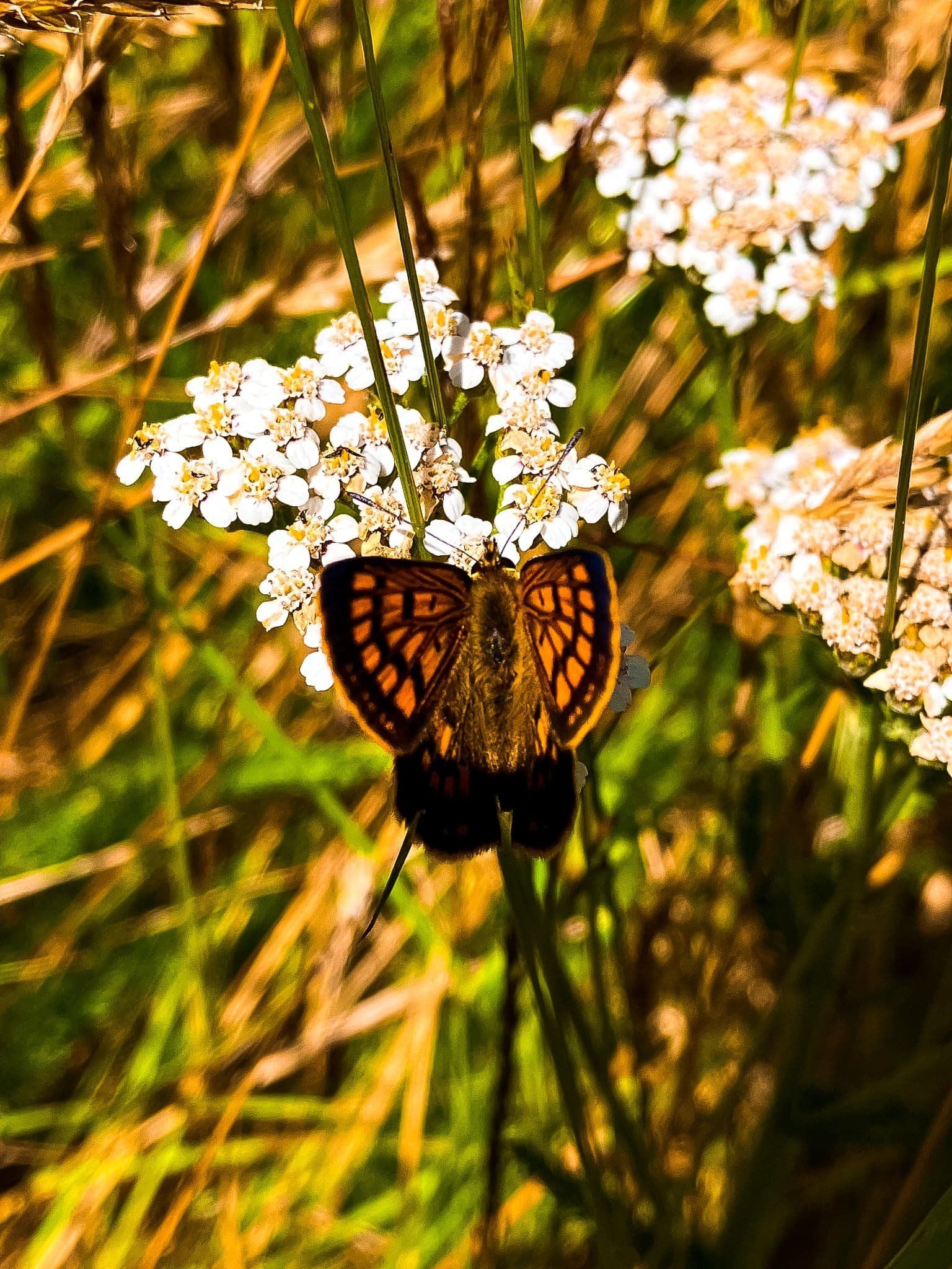
Despite its ruggedness, the Peninsula is heavily farmed and most of the numerous walks are quite exposed. But there are several examples of beautiful native forest and reasonably large areas of recovering forest, for example around Hinewai Reserve and Ōtepātotu.
This first Banks Peninsula blog focuses on Akaroa and the very scenic Summit Road which runs around the northeast side of the Akaroa Harbour crater rim.
Akaroa
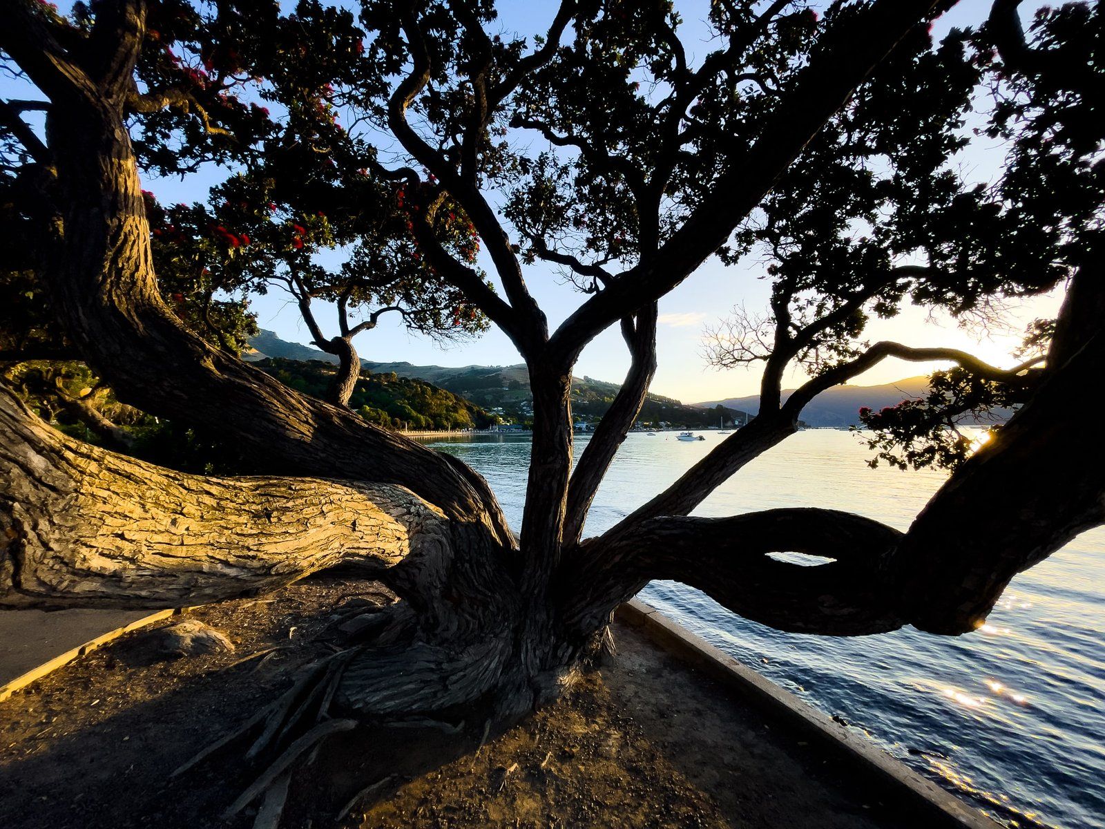
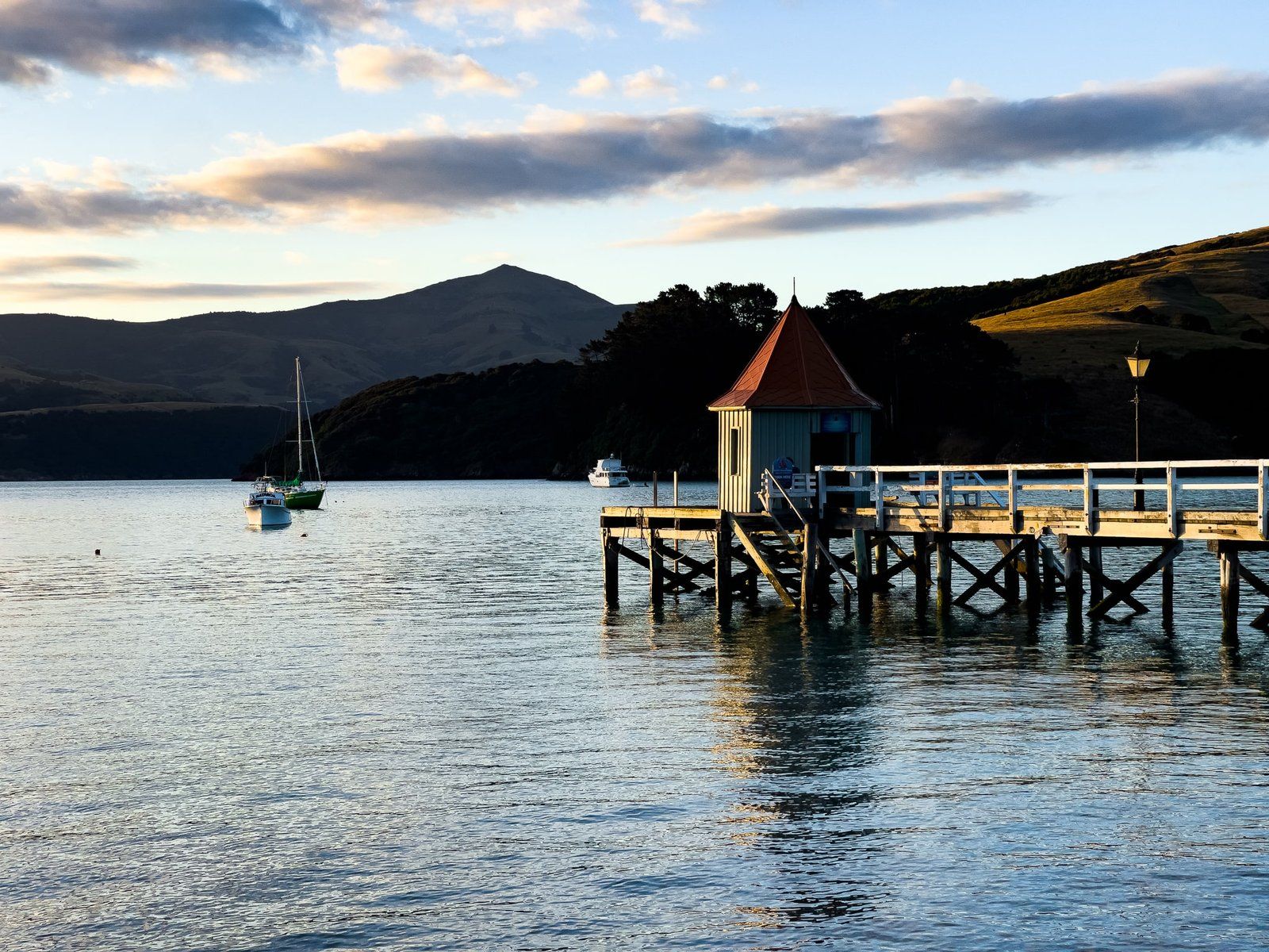
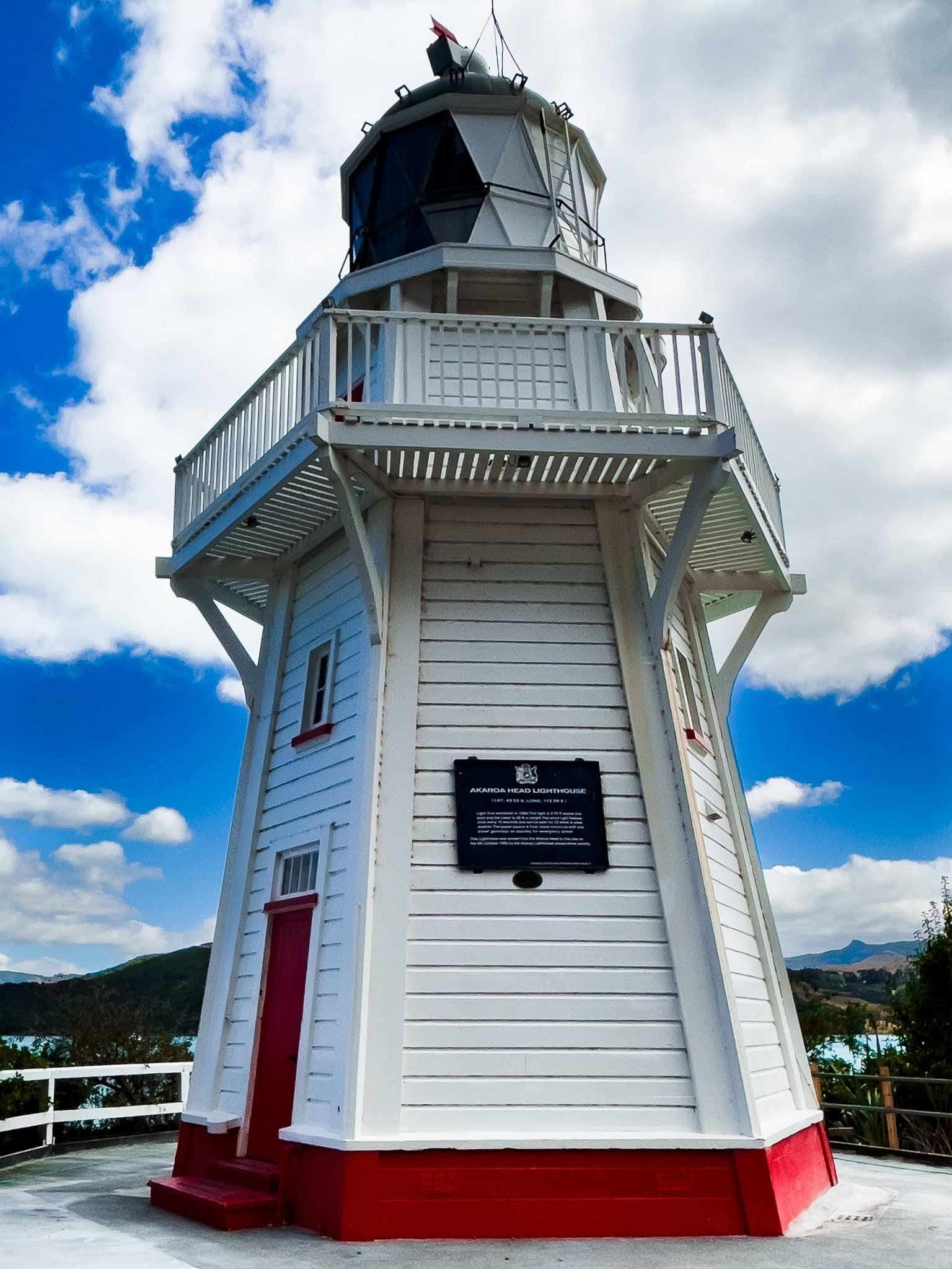
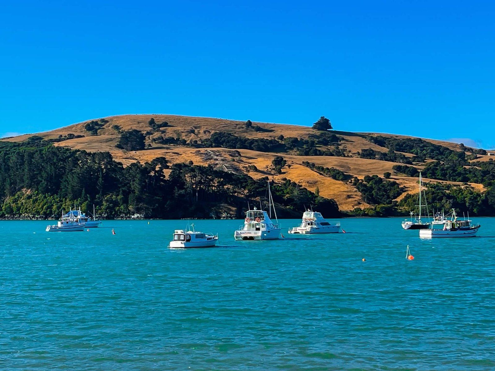
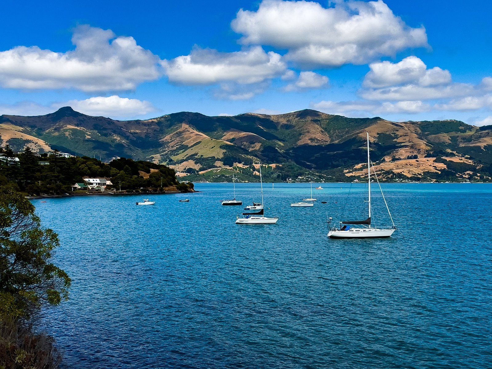
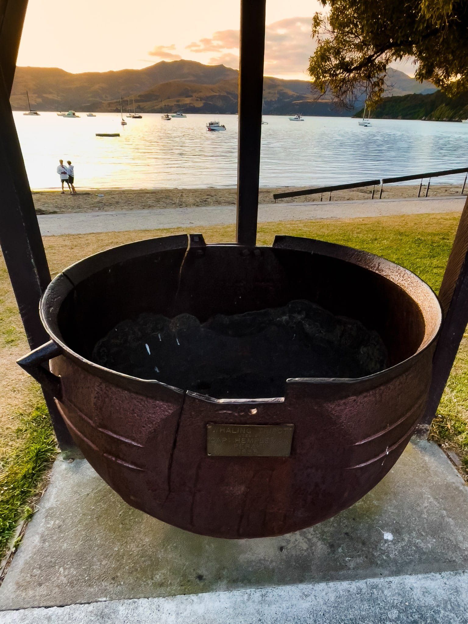
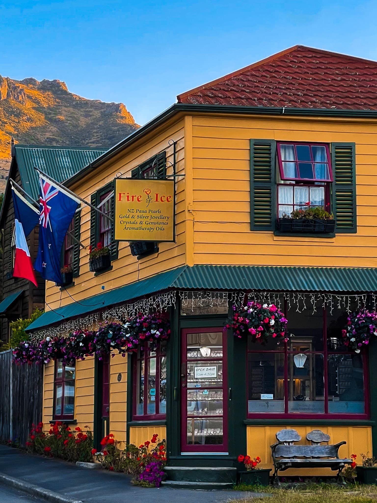
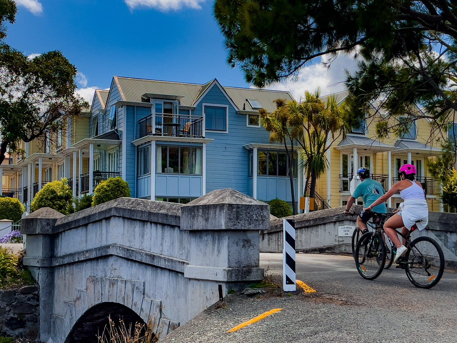
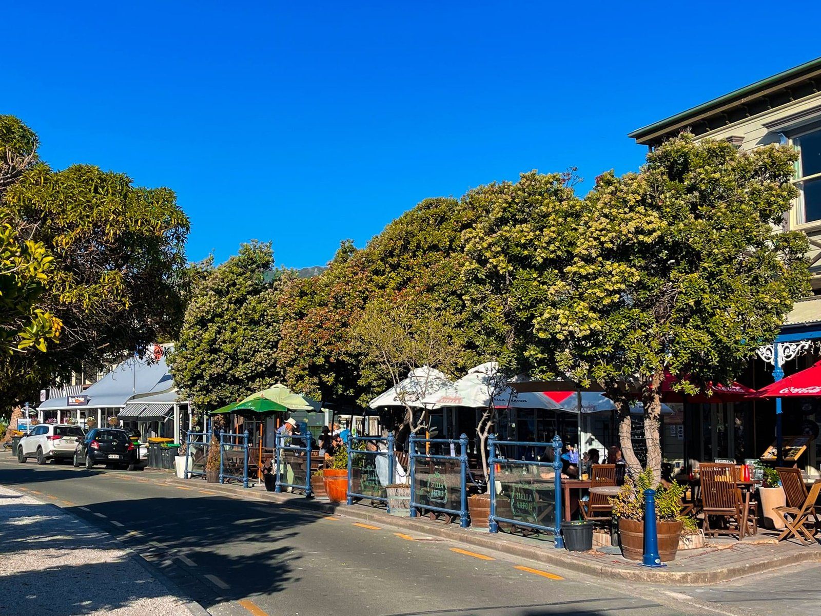
Akaroa is a small and very pretty tourist-oriented town of about 800 people on Banks Peninsula, with a unique French connection which it takes full advantage of. It’s situated within Akaroa Harbour and overlooked by the harbour crater rim, about 80 minutes from Christchurch on State Highway 25. It’s an easy walk around the waterfront with a number of cafes, restaurants and shops. Hector’s dolphins, seals and penguins can all be found around the harbour with the help of commercial eco tour operators.
For a small town, it has an interesting history. Akaroa means “Long Harbour” in the local Māori dialect and was important to local Māori. By the 1830s, it was one of many whaling stations along the coast of the South Island that coexisted and traded with Māori.
Then around 1830, the nearby Māori settlement at Takapūneke was sacked by Te Rauparaha (the “southern Napoleon”) with the help of a British sea captain, John Stewart. Such incidents of lawlessness by Europeans led to the appointment of the first official British representative, James Busby, to New Zealand in 1832. This turned out to be the first step in the process that led to the Treaty of Waitangi /te Tiriti o Waitangi in 1840.
The Akaroa French connection arose in 1838 when Captain Jean François Langlois purchased land from twelve Ngāi Tahu Banks Peninsula chiefs. On his return to France, Langlois promoted his colonial venture and in 1840, 63 emigrants left from Rochefort on the ship Comte de Paris, given to them by the French government. This coincided with the signing of the Treaty and they found themselves subject to British law when they arrived.
Summit Road Akaroa
There are two separate and equally spectacular Summit Roads on Banks Peninsula. One runs around the crater rim on the north side of Akaroa Harbour and the other runs around the crater rim on the west side of Lyttelton Harbour.
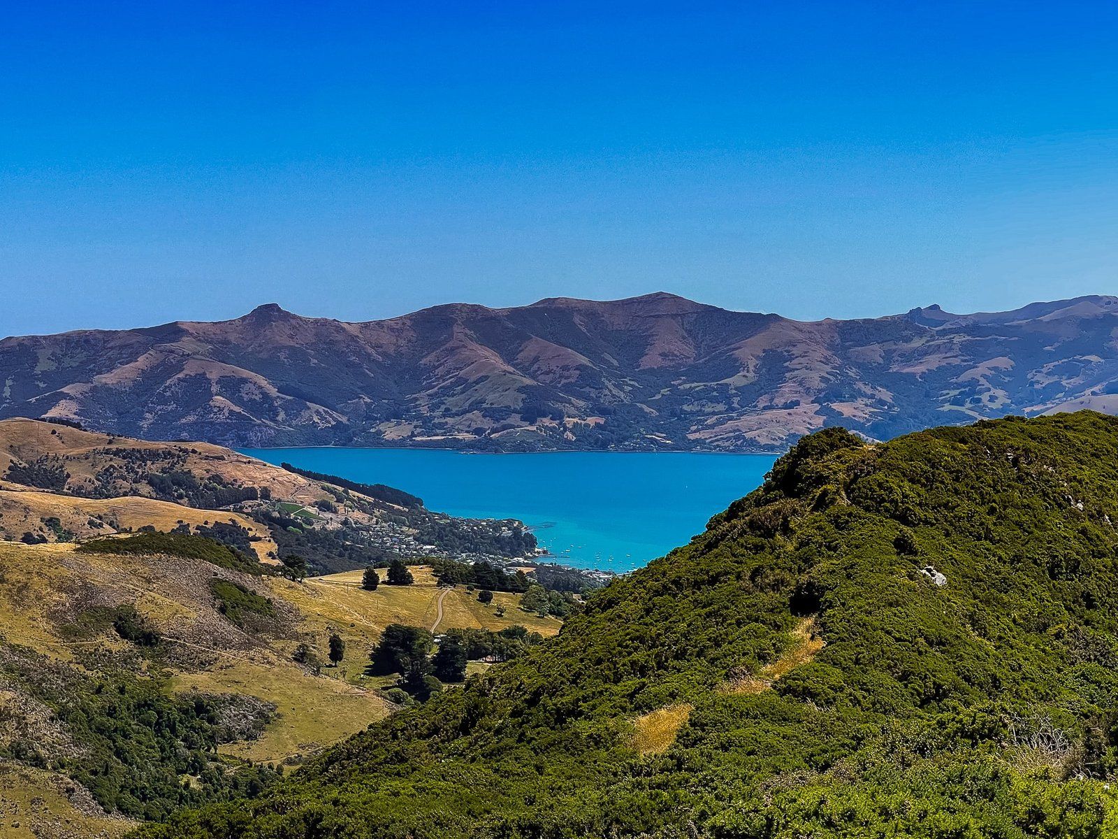
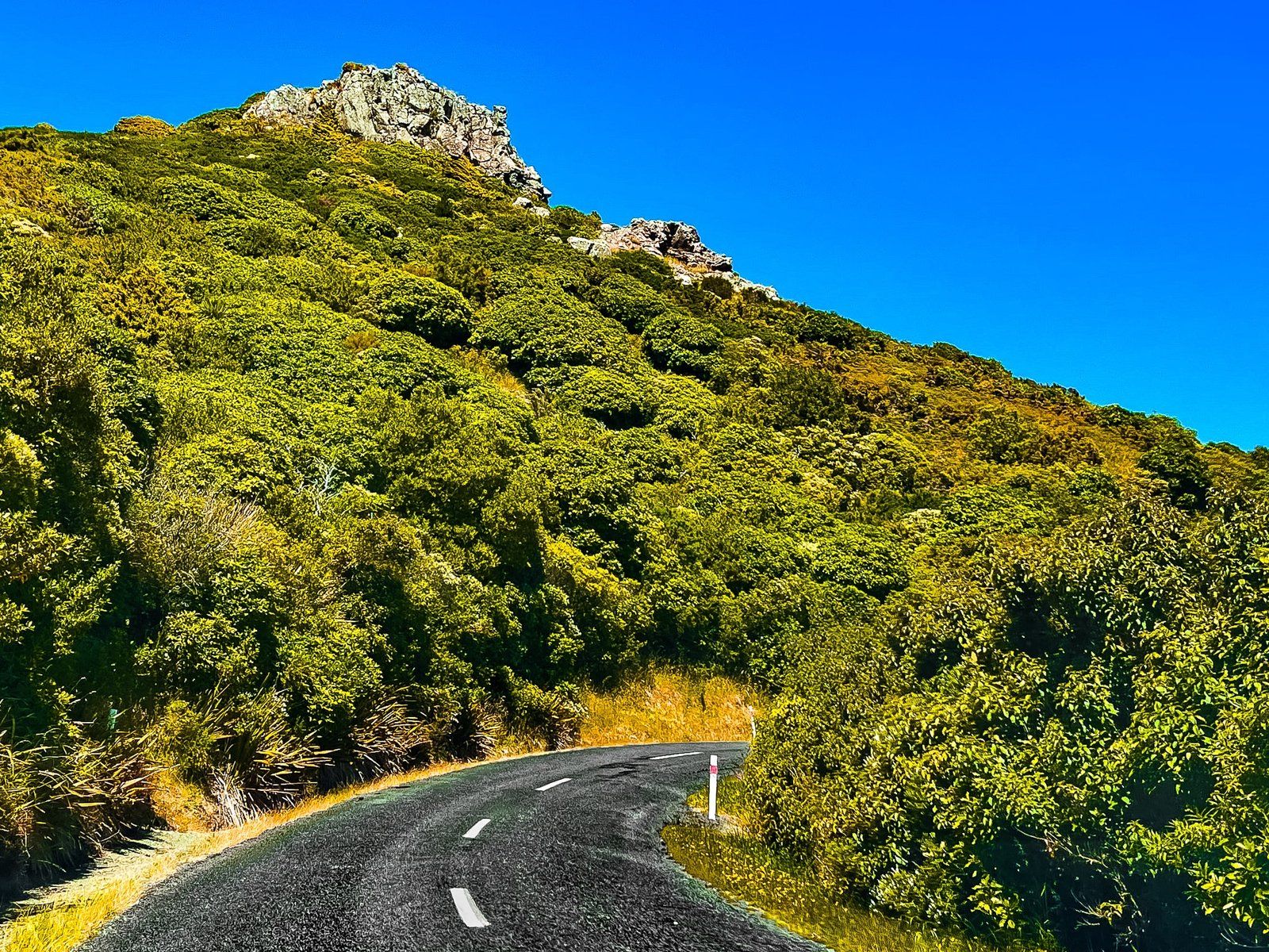
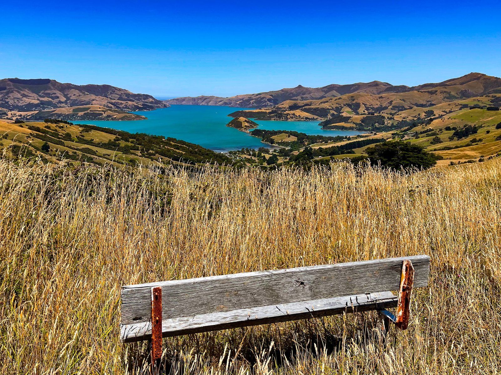
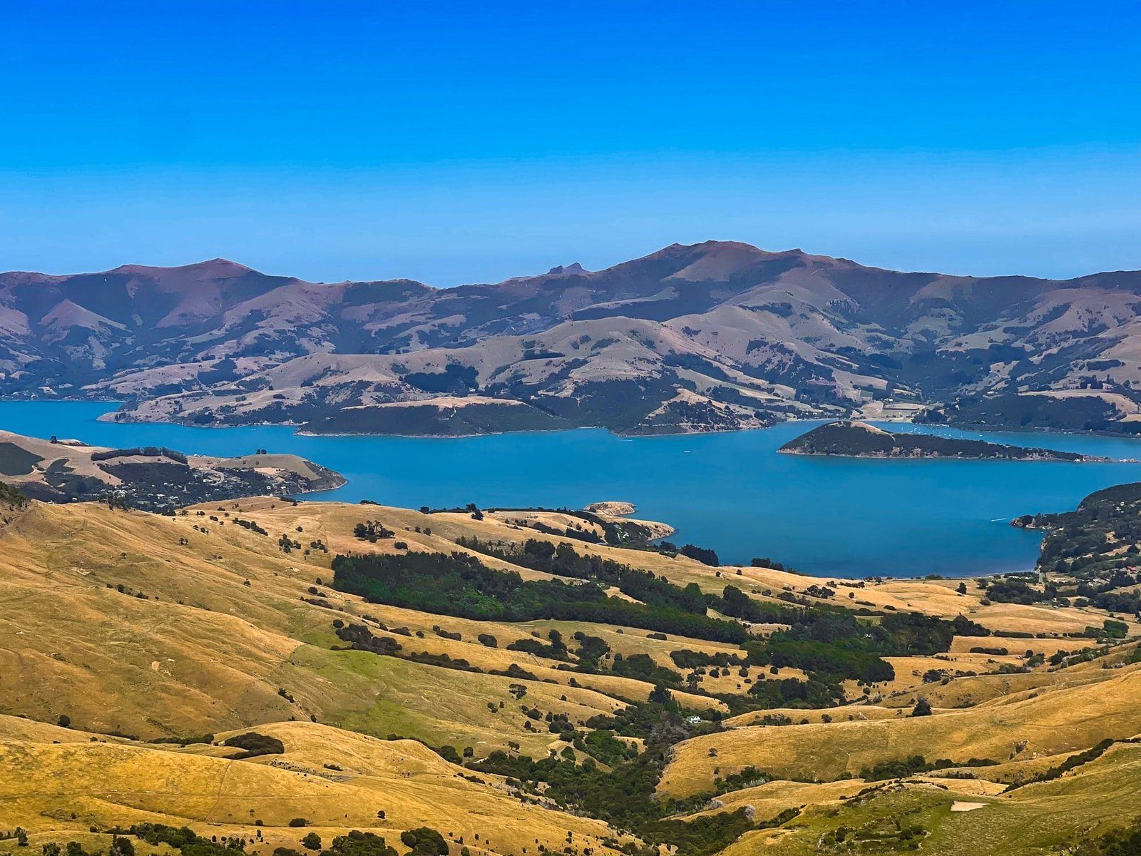
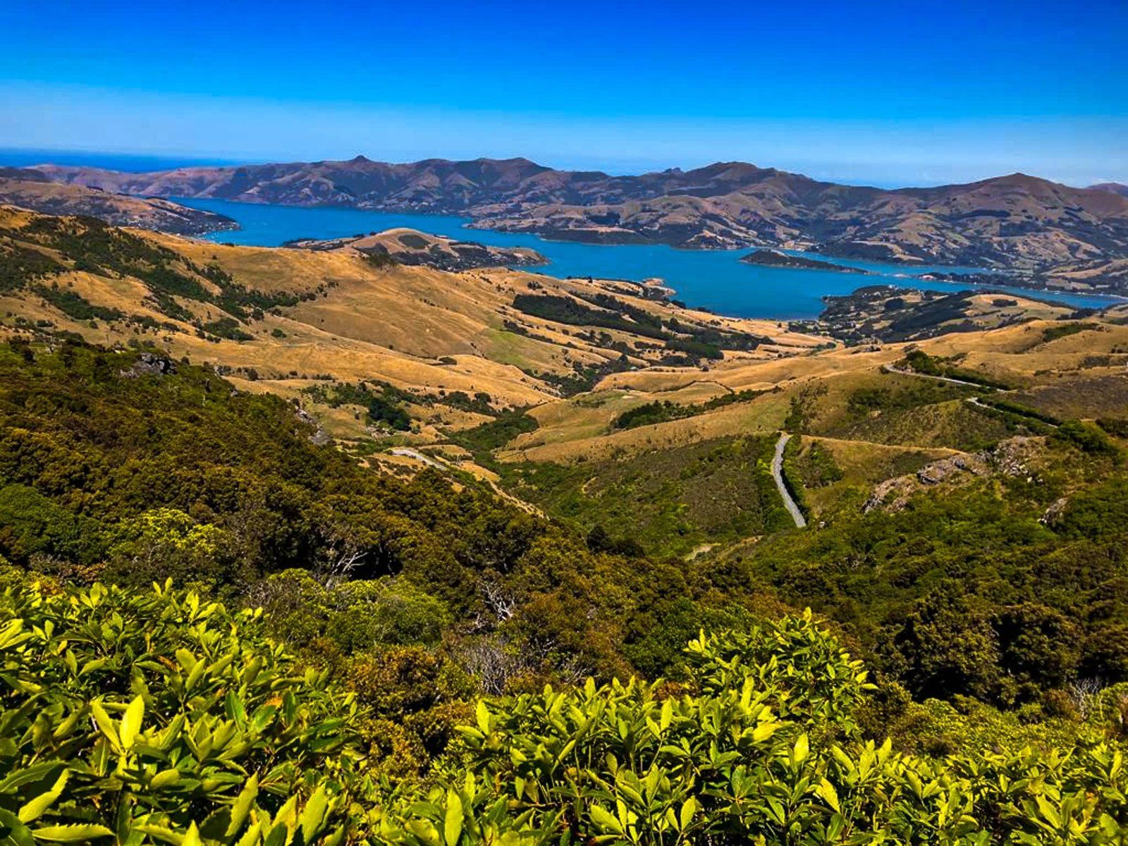
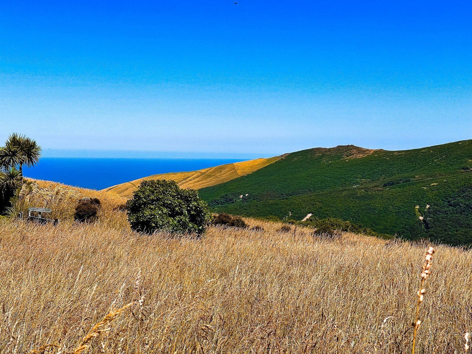
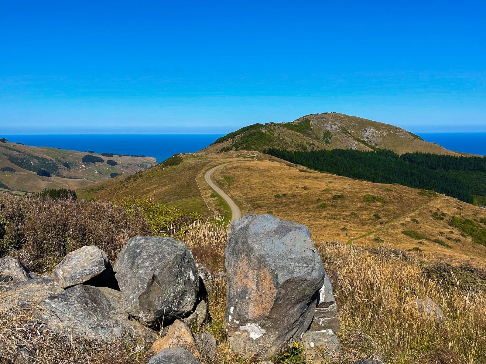
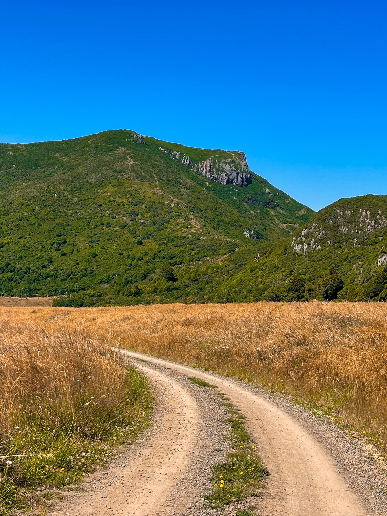
Summit Road above Akaroa Harbour is the scenic route to Akaroa, signposted on State Highway 75 just after Hilltop. It is a sealed road that winds around the crater rim above the harbour for about 26 kms (about a 40 minute drive) to the intersection with Long Bay Road, which takes you down to Akaroa.
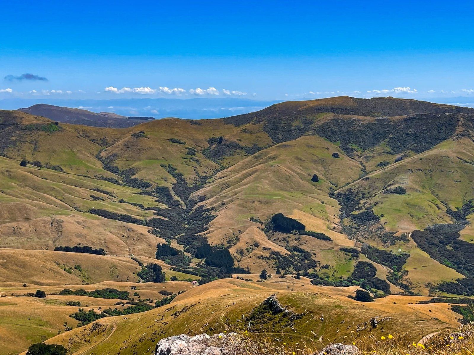
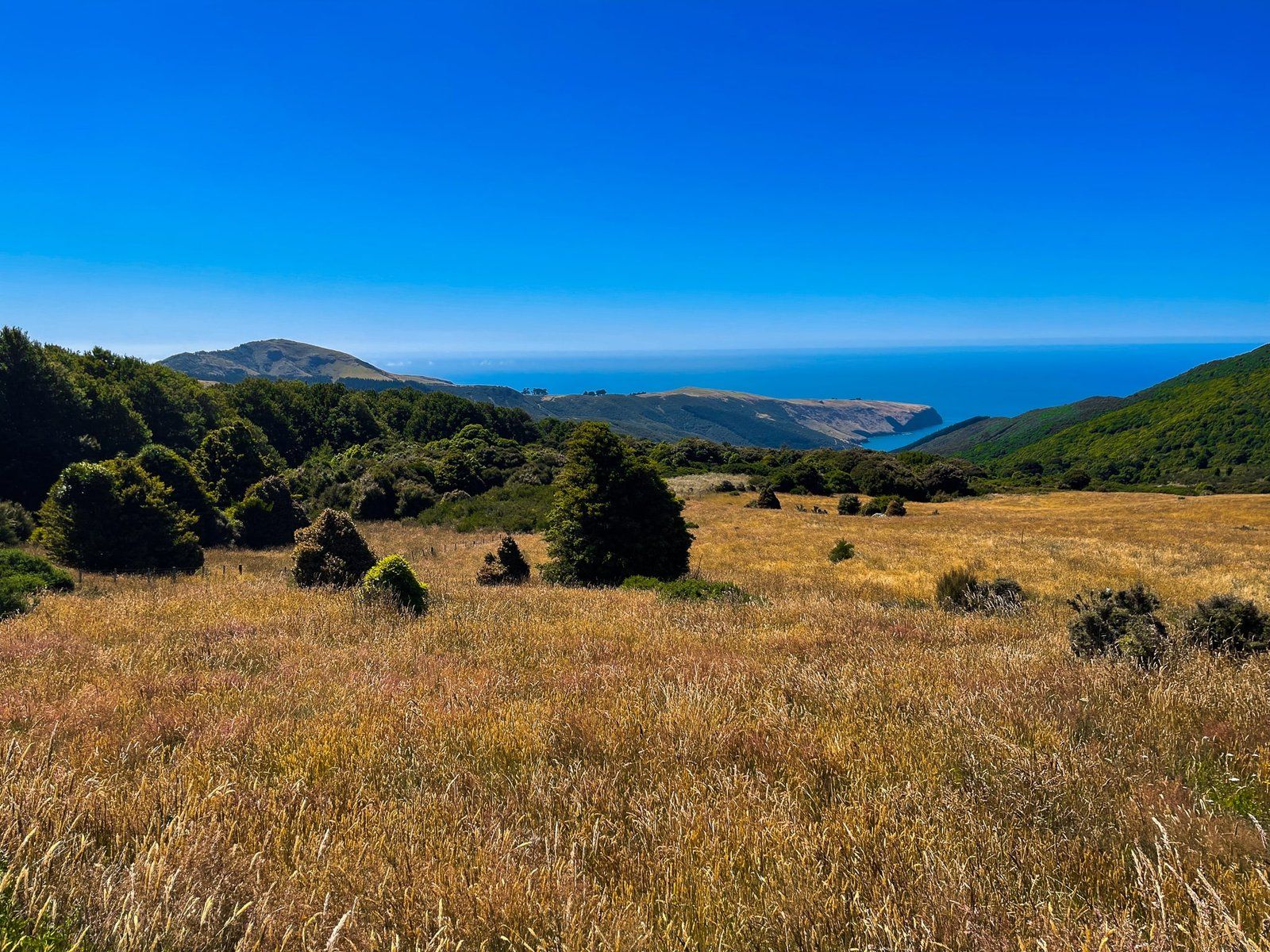
The views throughout the drive are stunning. The crater rim ranges from 400 to over 600 metres high with mostly open views across the harbour, as well as some views to the east coast of the peninsula.
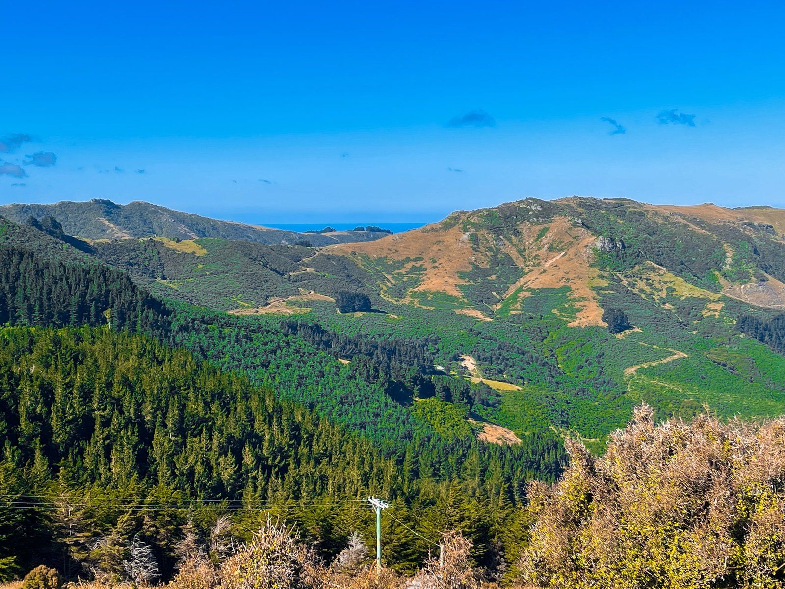
Summit Road also provides access to several of the east and northeast coast bays of the peninsula, including Le Bons, Okains, Little Akaloa, and Pigeon Bay, plus several walking tracks, including beautiful Ōtepātotu Track and Hinewai Reserve.
There are several places along the drive where there is enough space on the side of the road to stop for photos, so don’t get too concerned by the mostly narrow roadside verges.
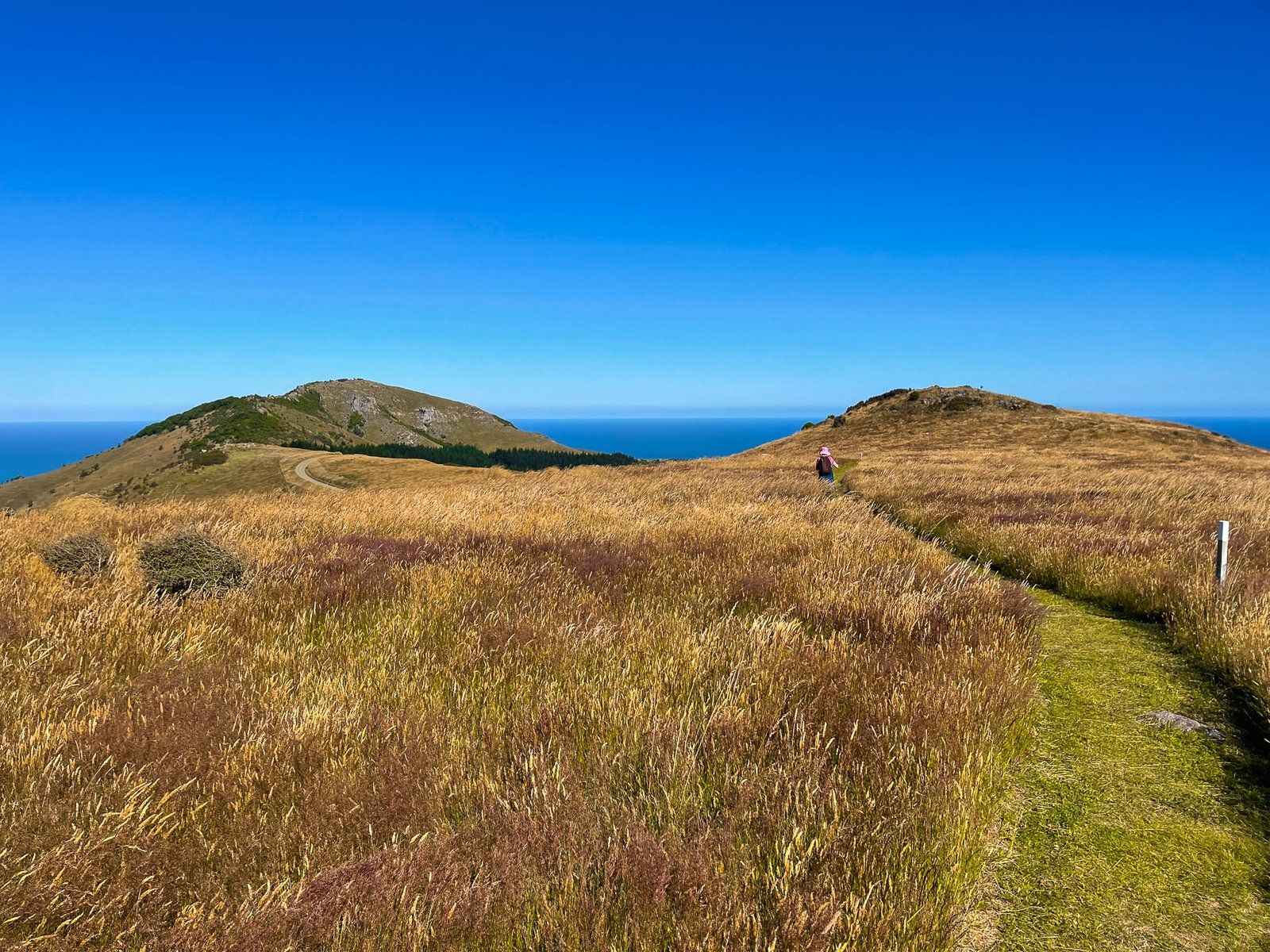
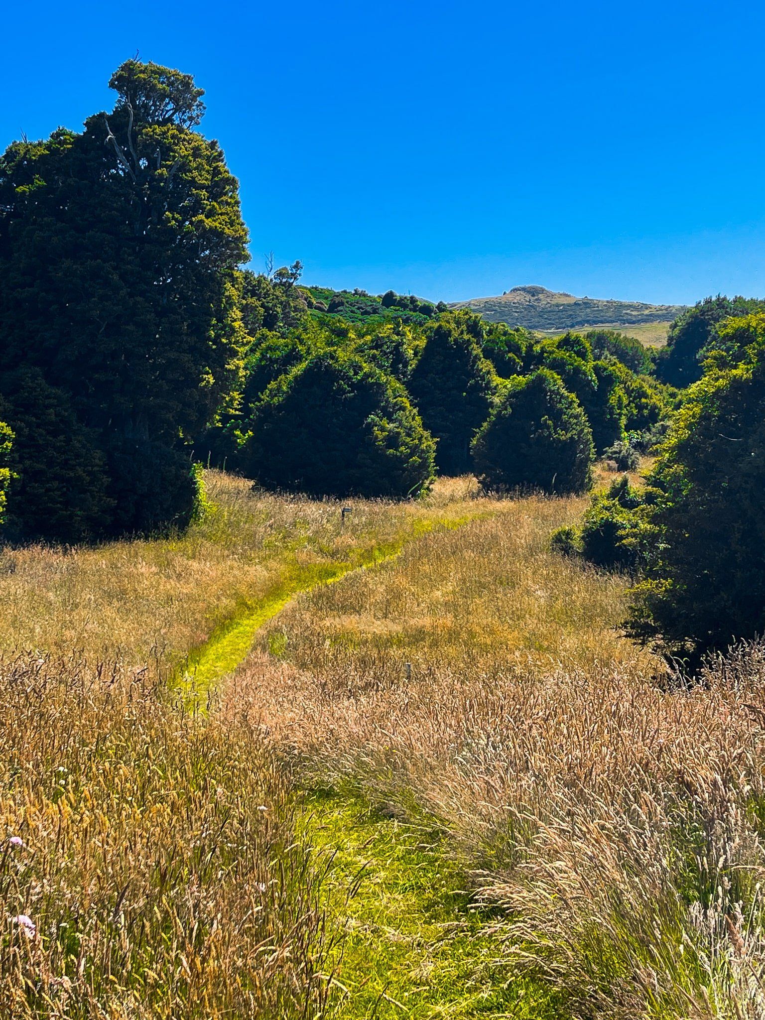
Ōtepātotu Track
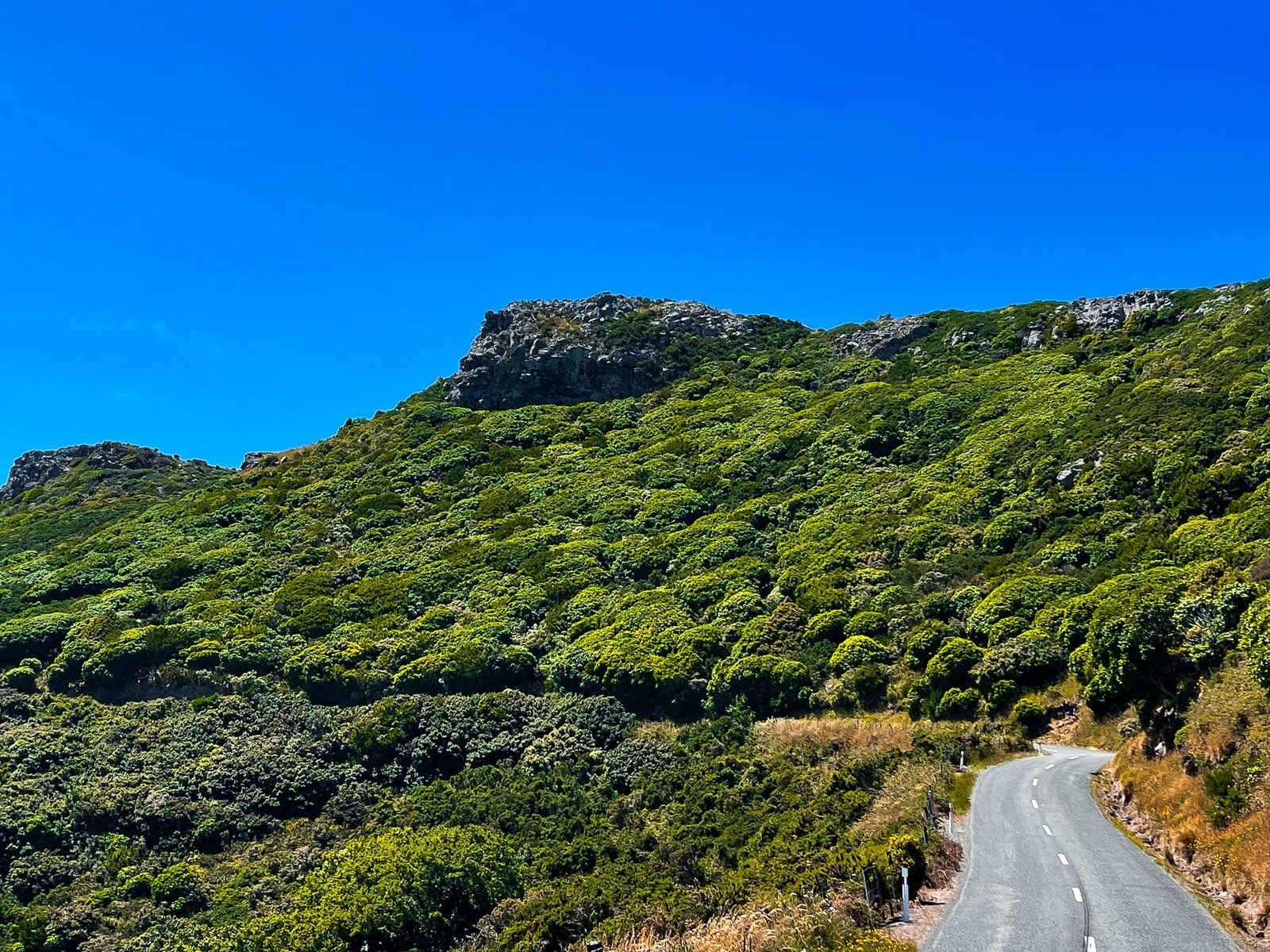
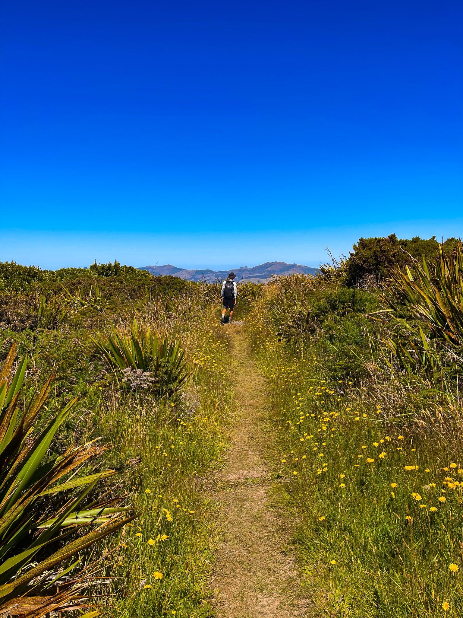
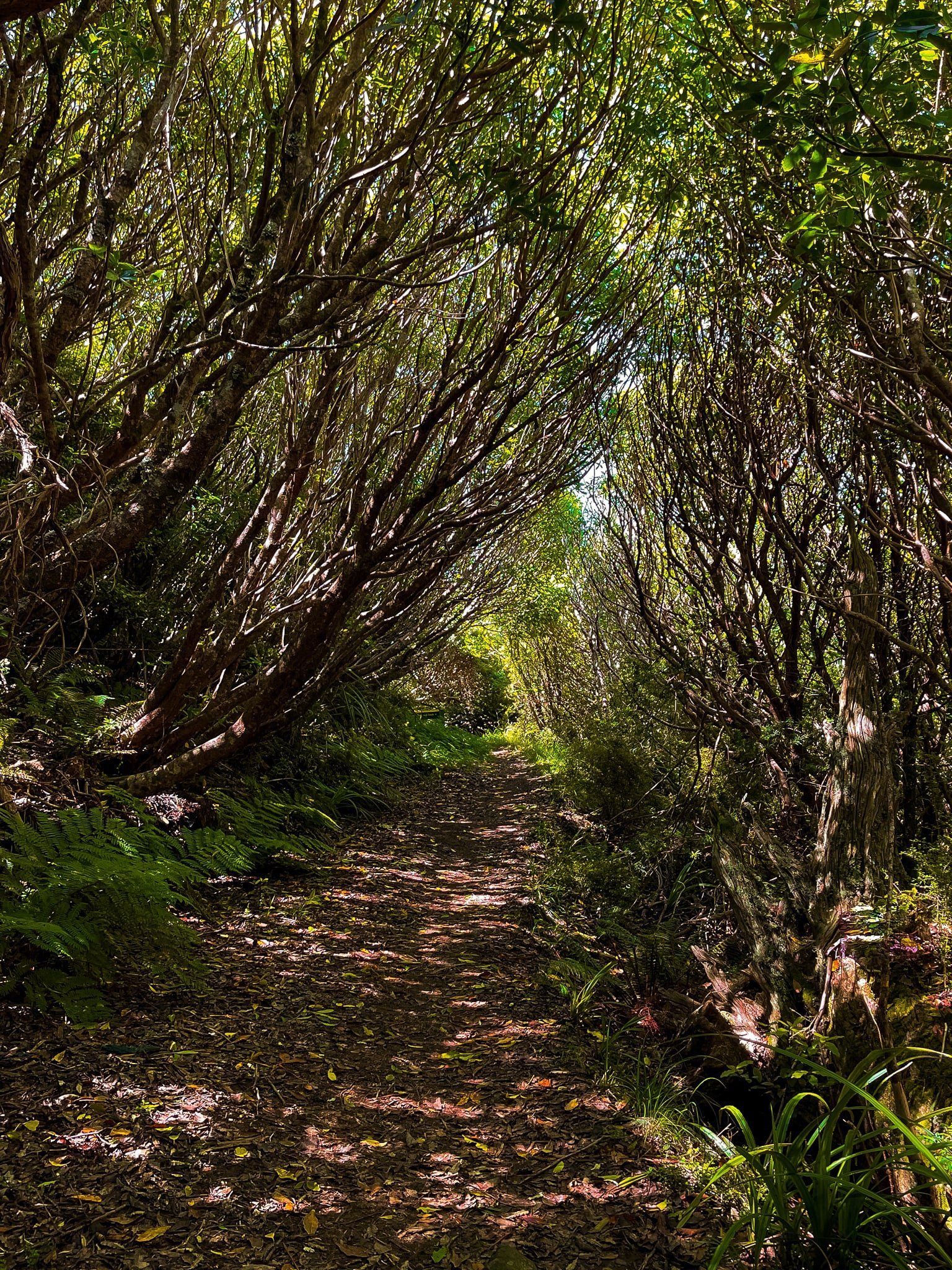
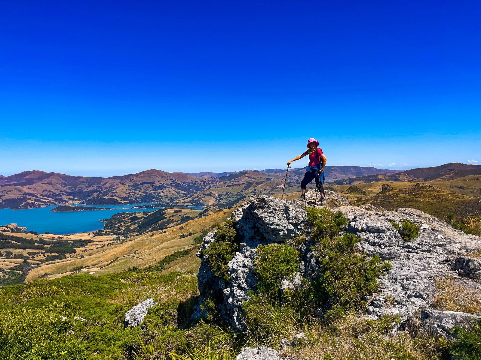
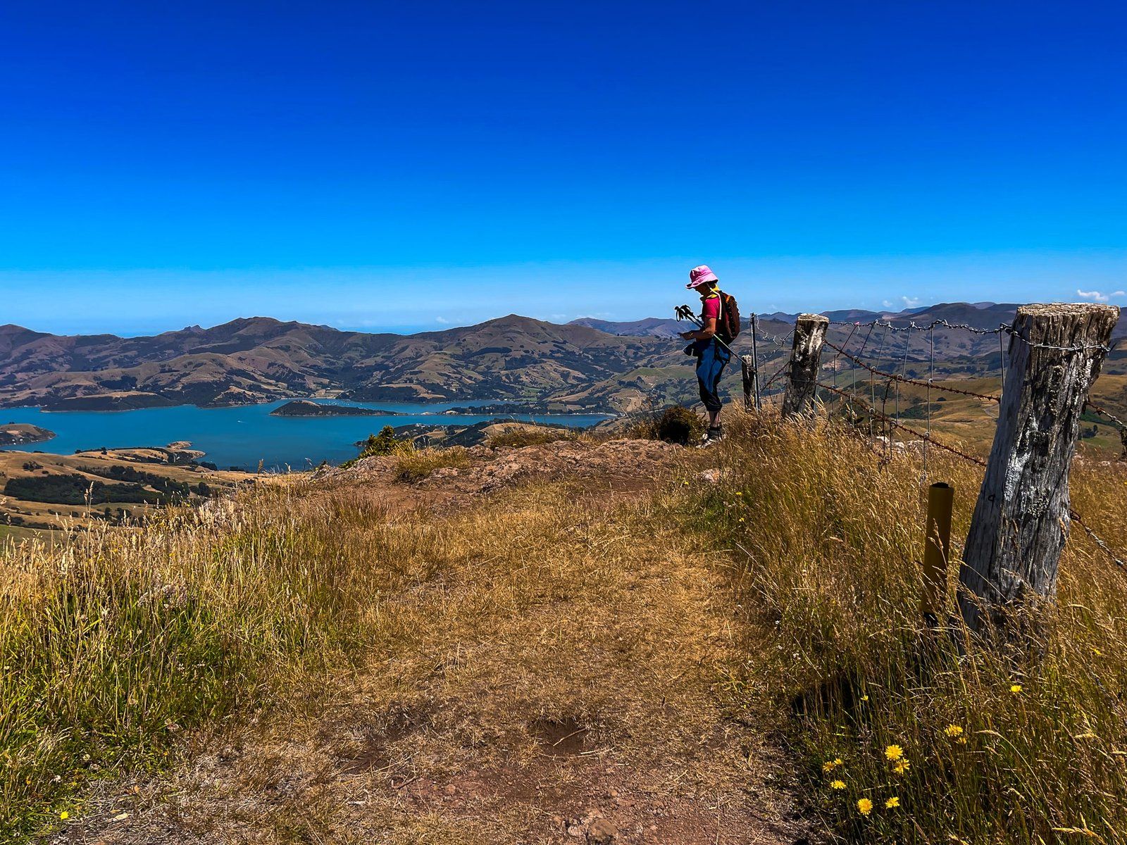
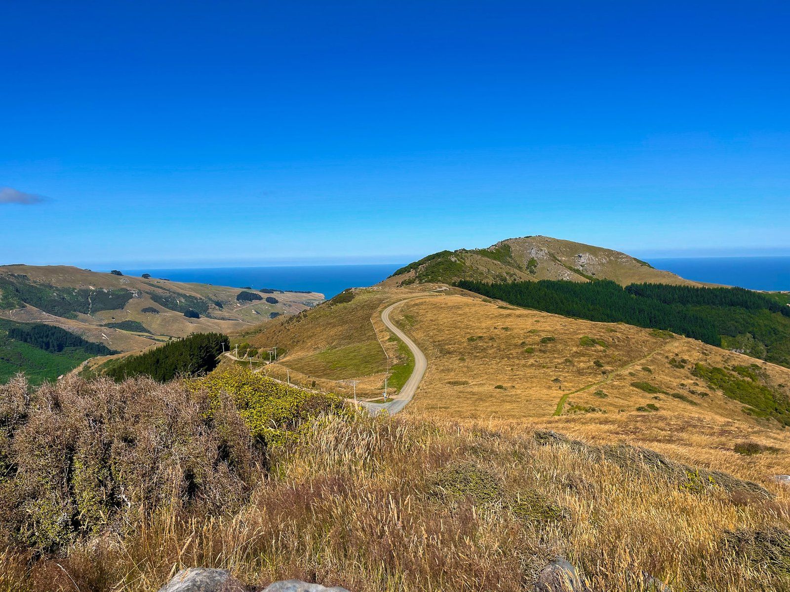
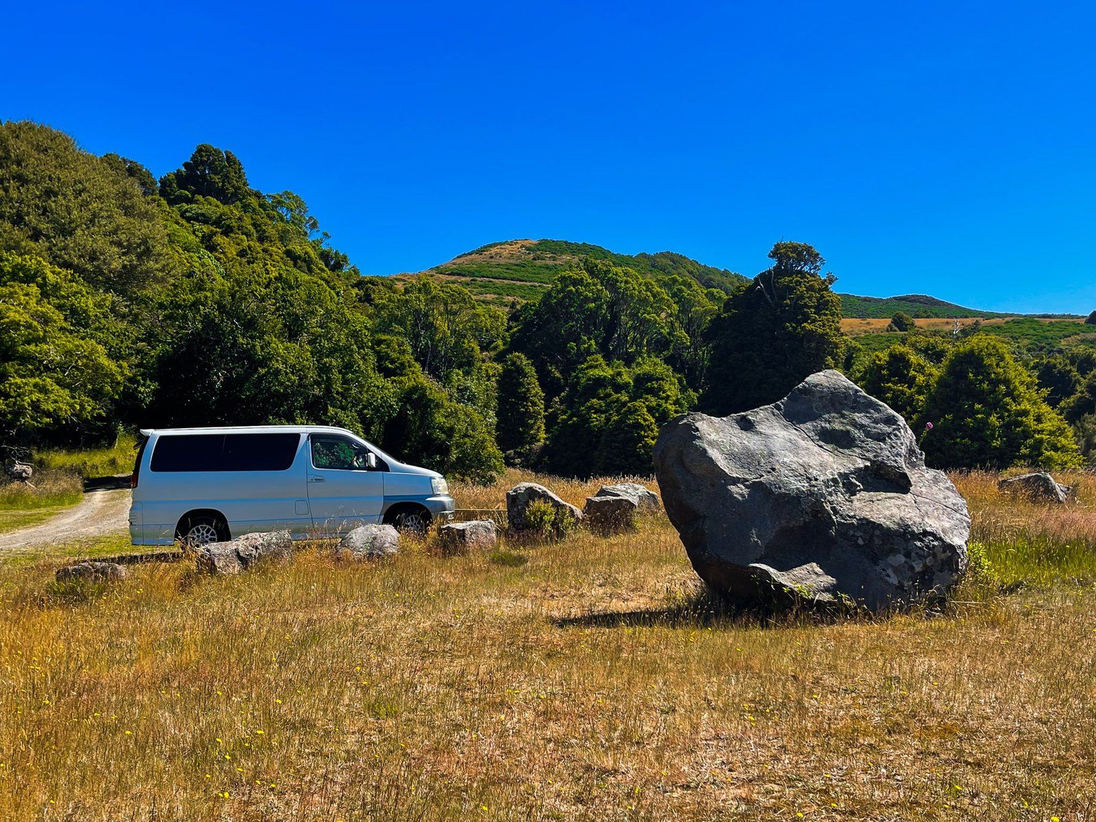
Ōtepātotu Track is accessed from the Summit Road above Akaroa, about half way between the intersections with Okains Bay Road and Le Bons Road. There is a large grassed area next to the carpark, plus a toilet, picnic benches and nice views. A perfect place to take a picnic.
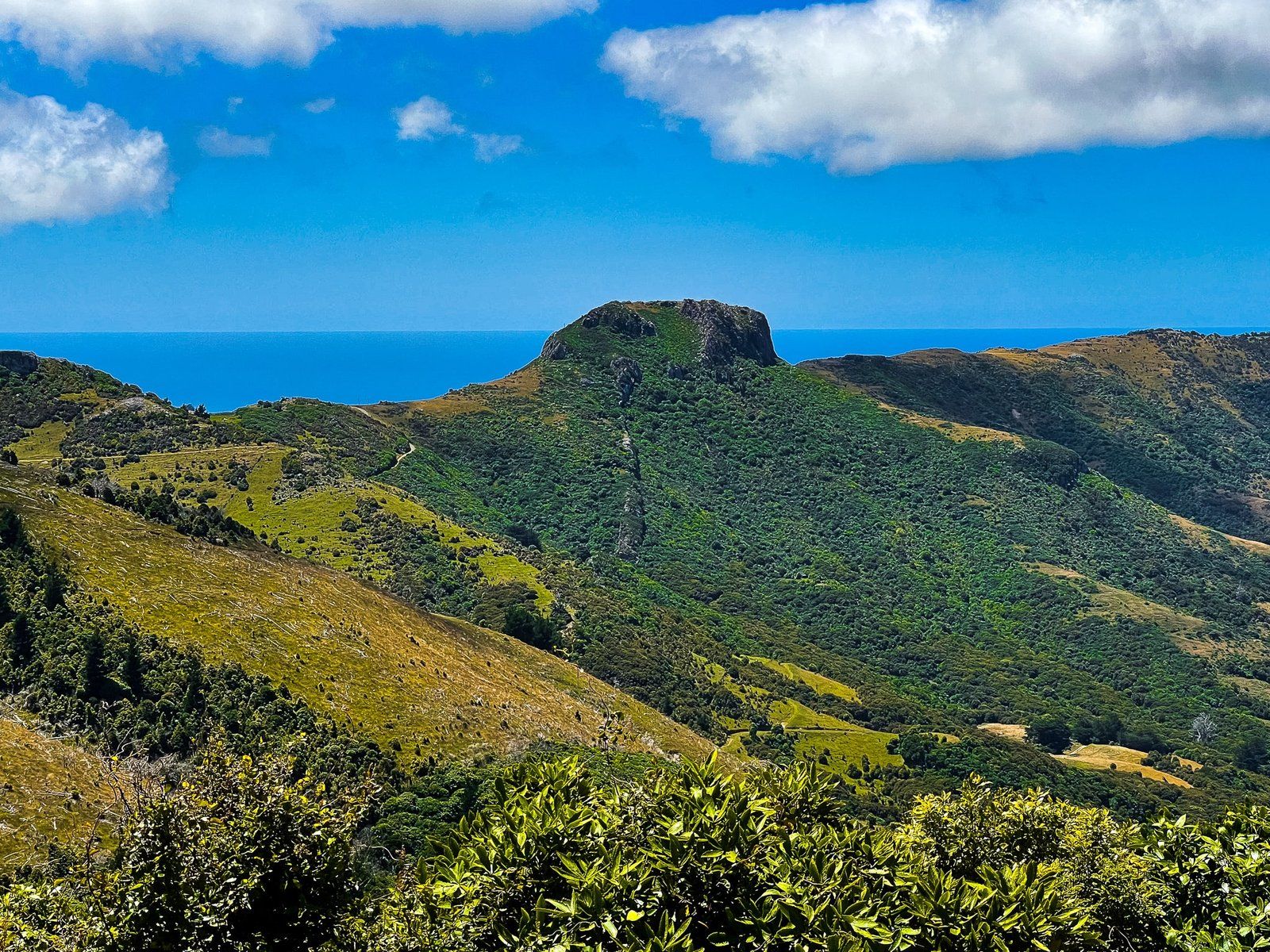
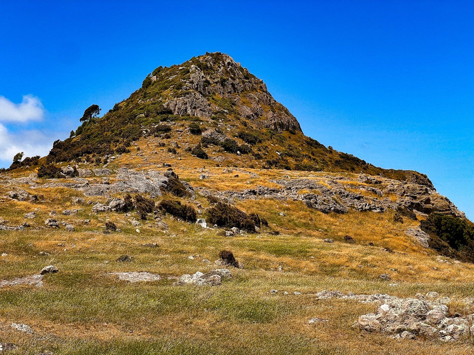
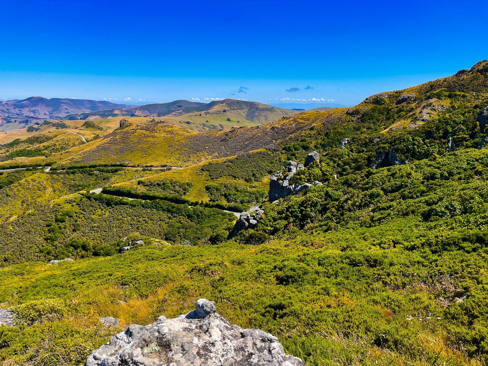
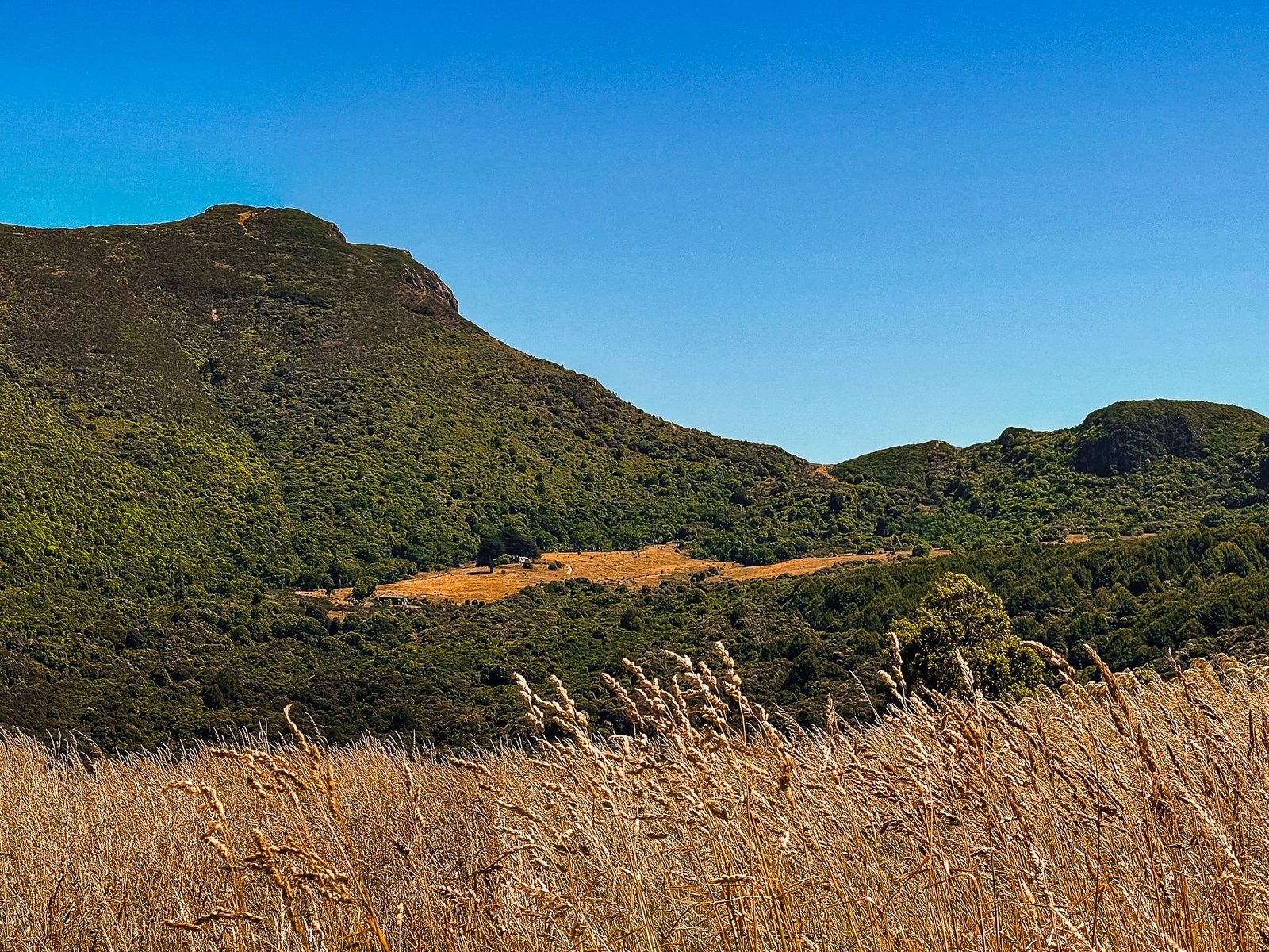
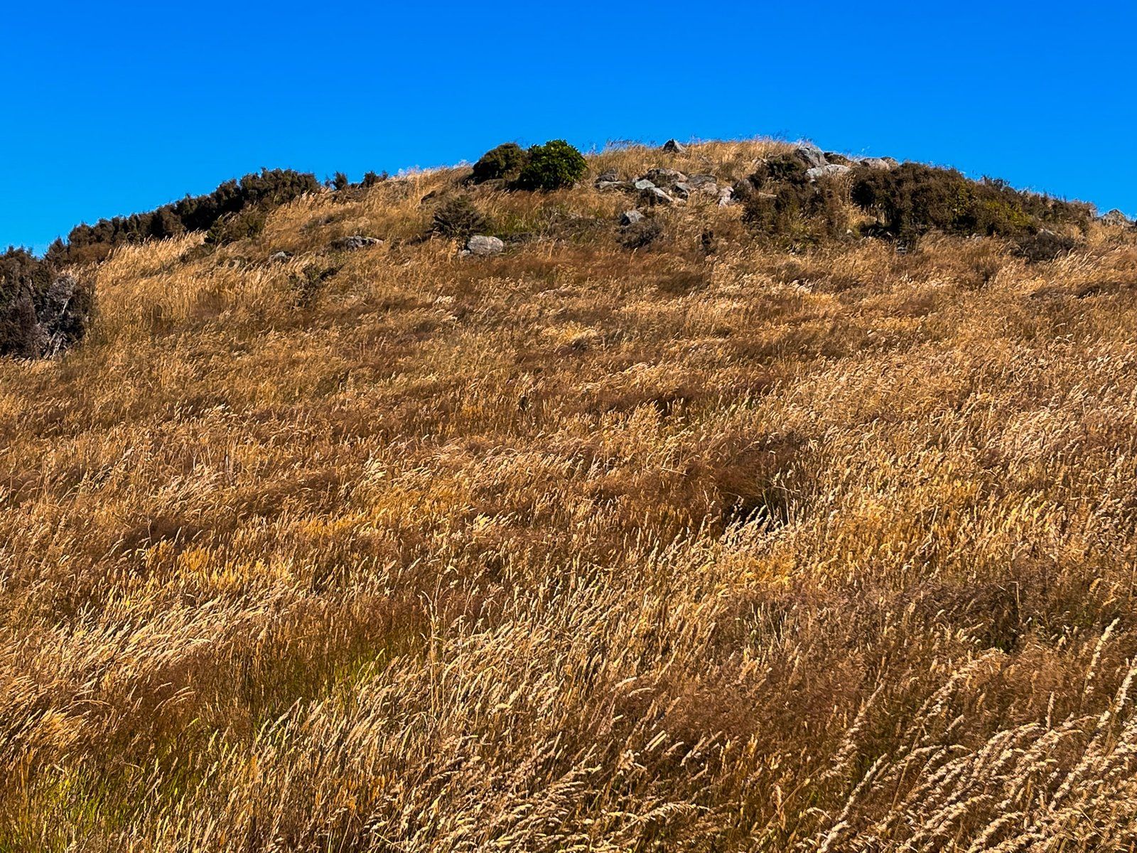
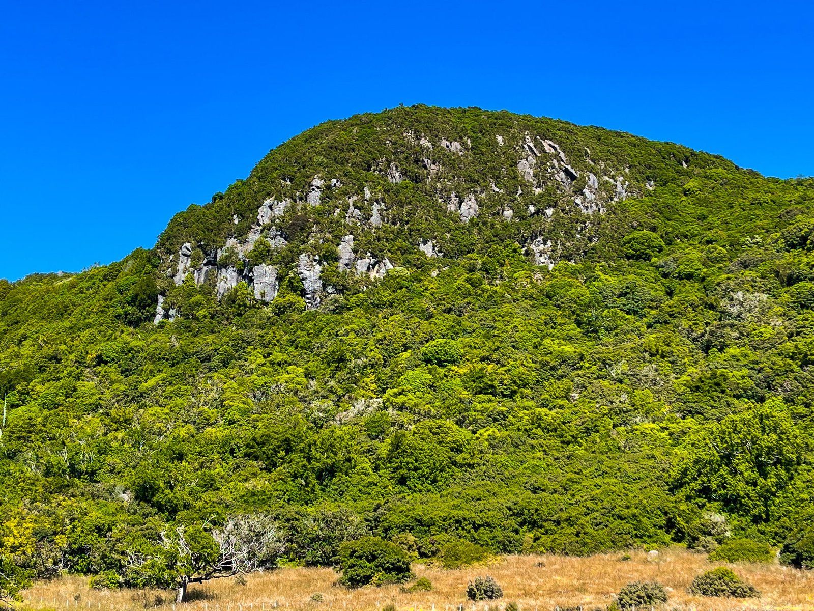
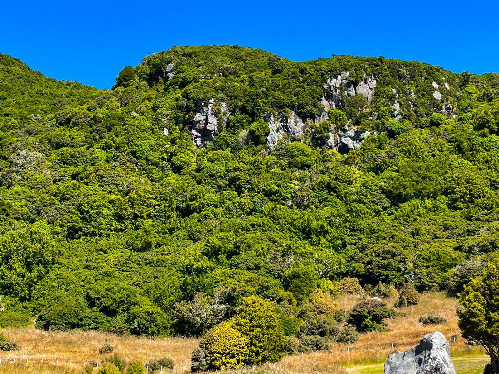
The track is to the left of the grassed area, and is steep in places. With a total climb of 155 metres, the track takes you to the top of Lavericks, a 755 m highpoint on the Akaroa Harbour crater rim.
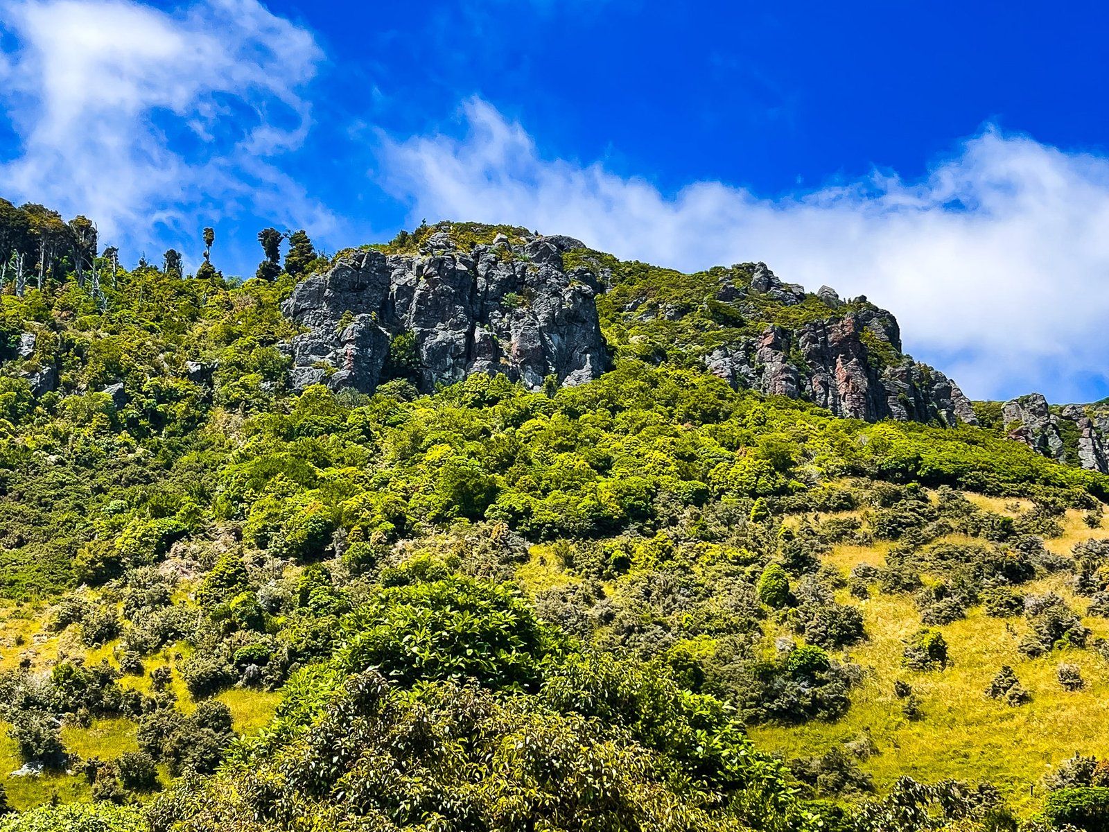
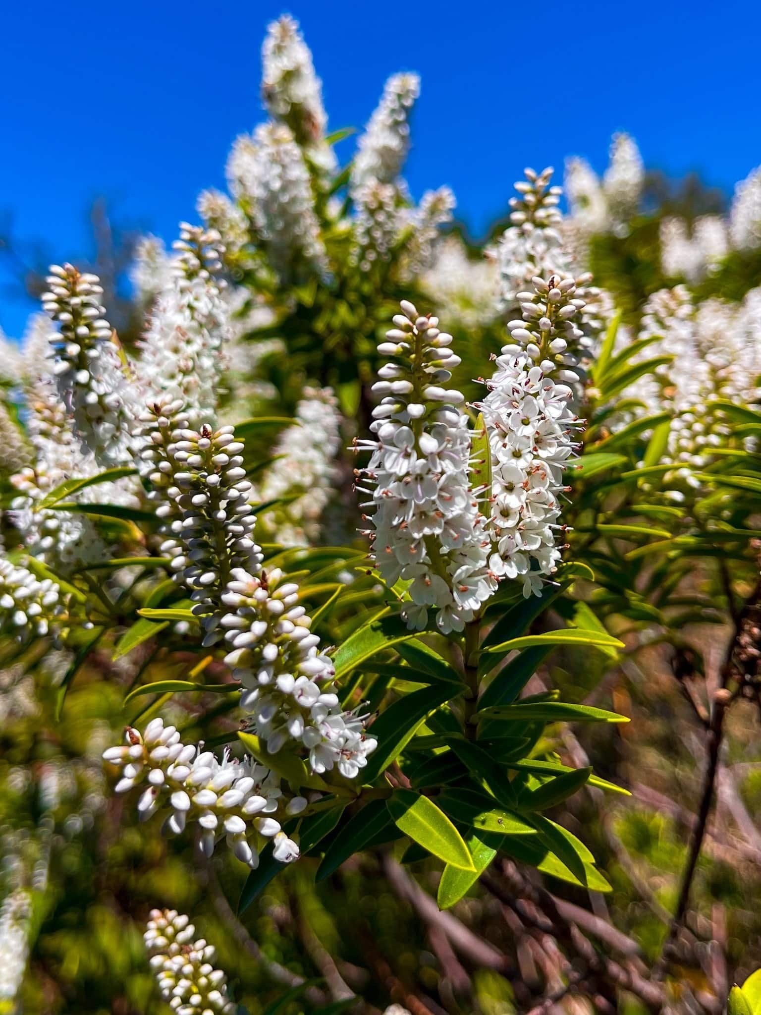
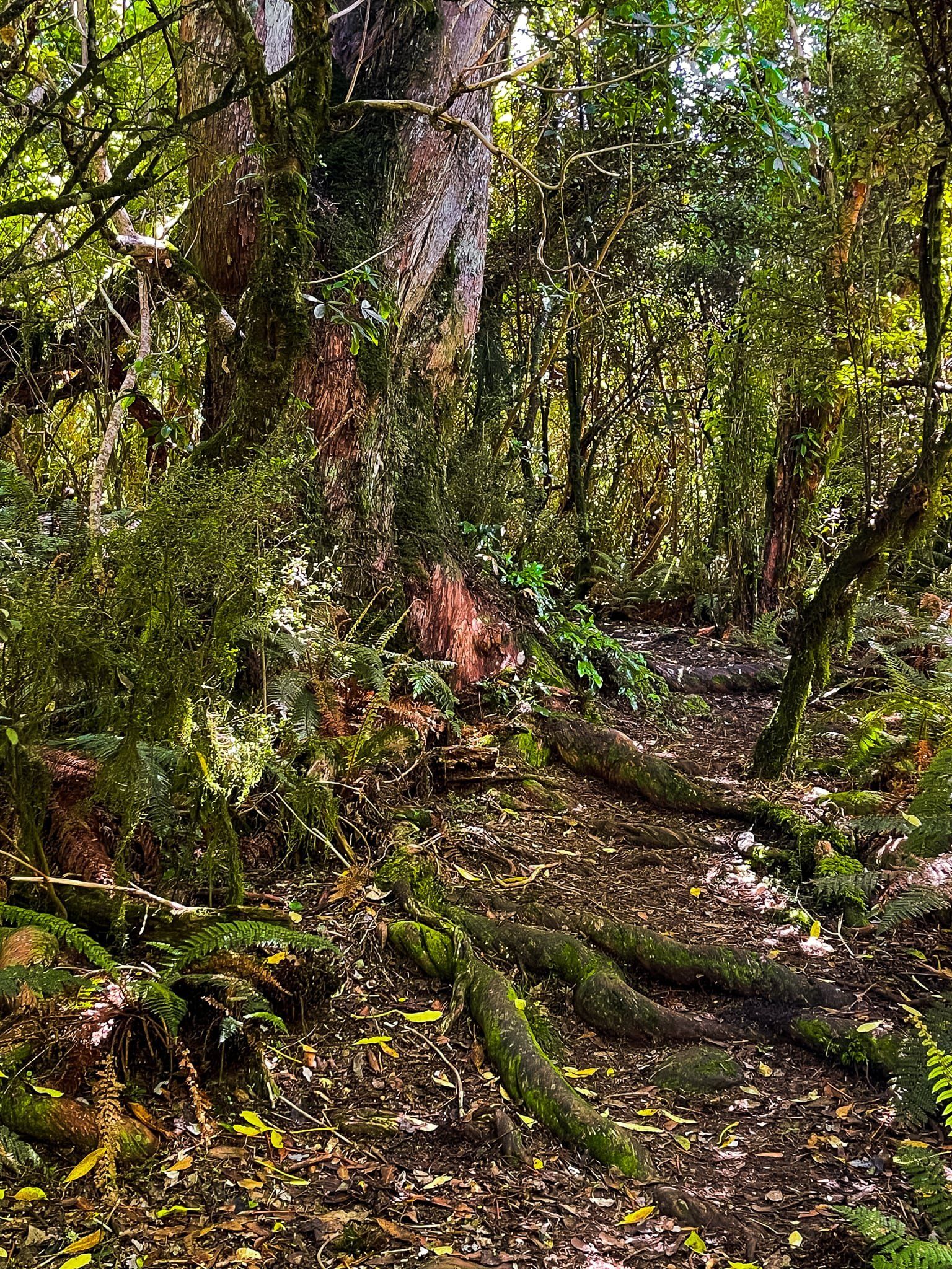
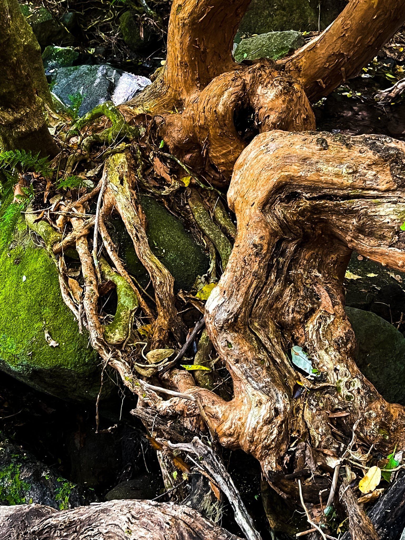
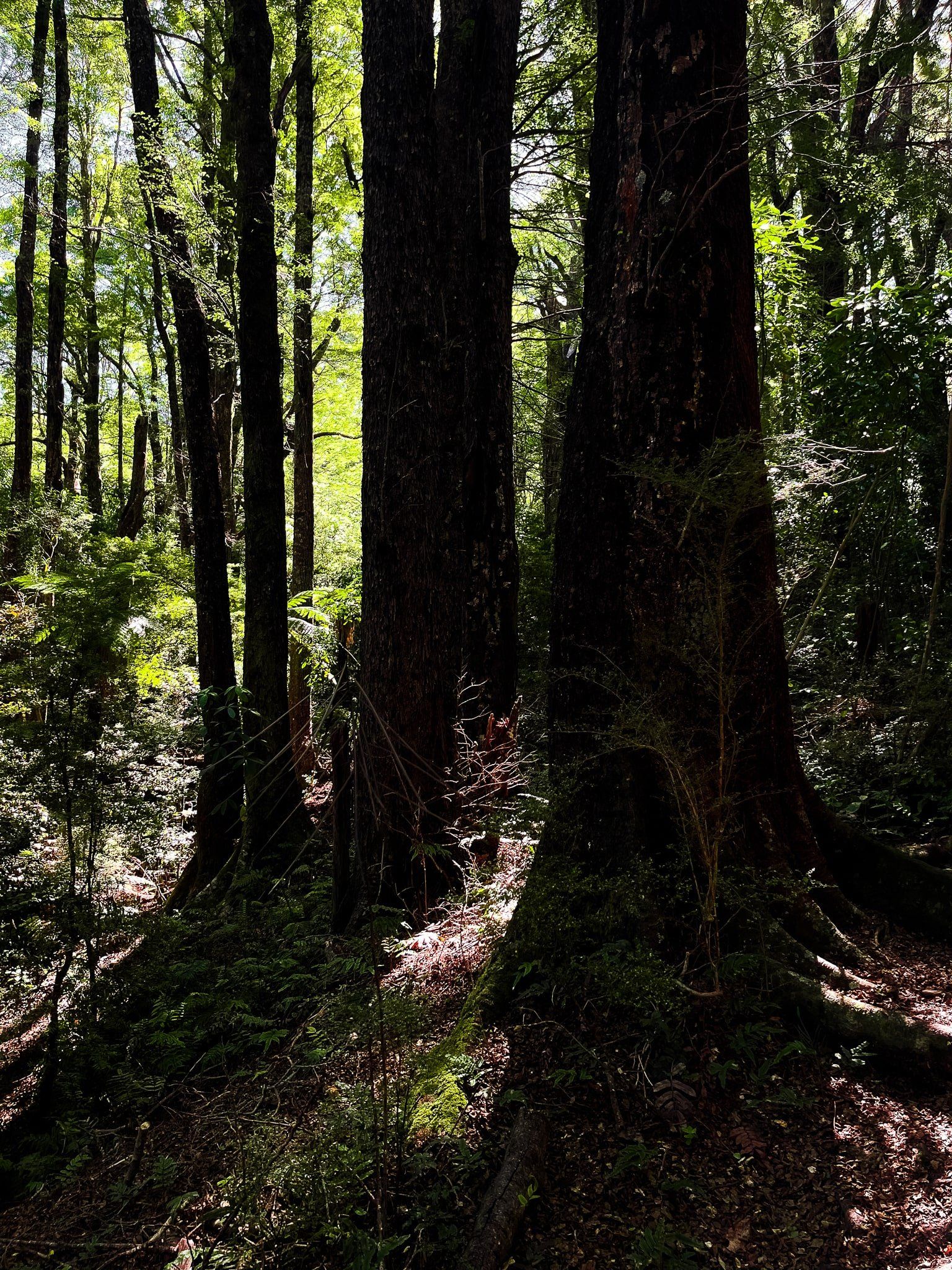
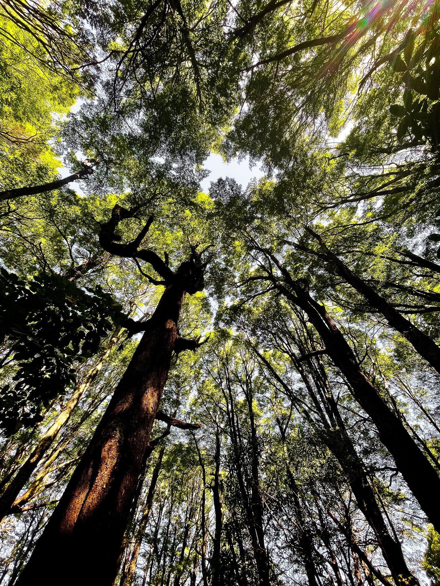
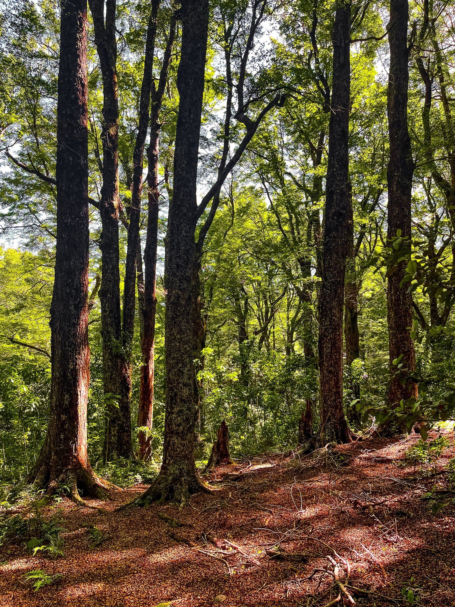
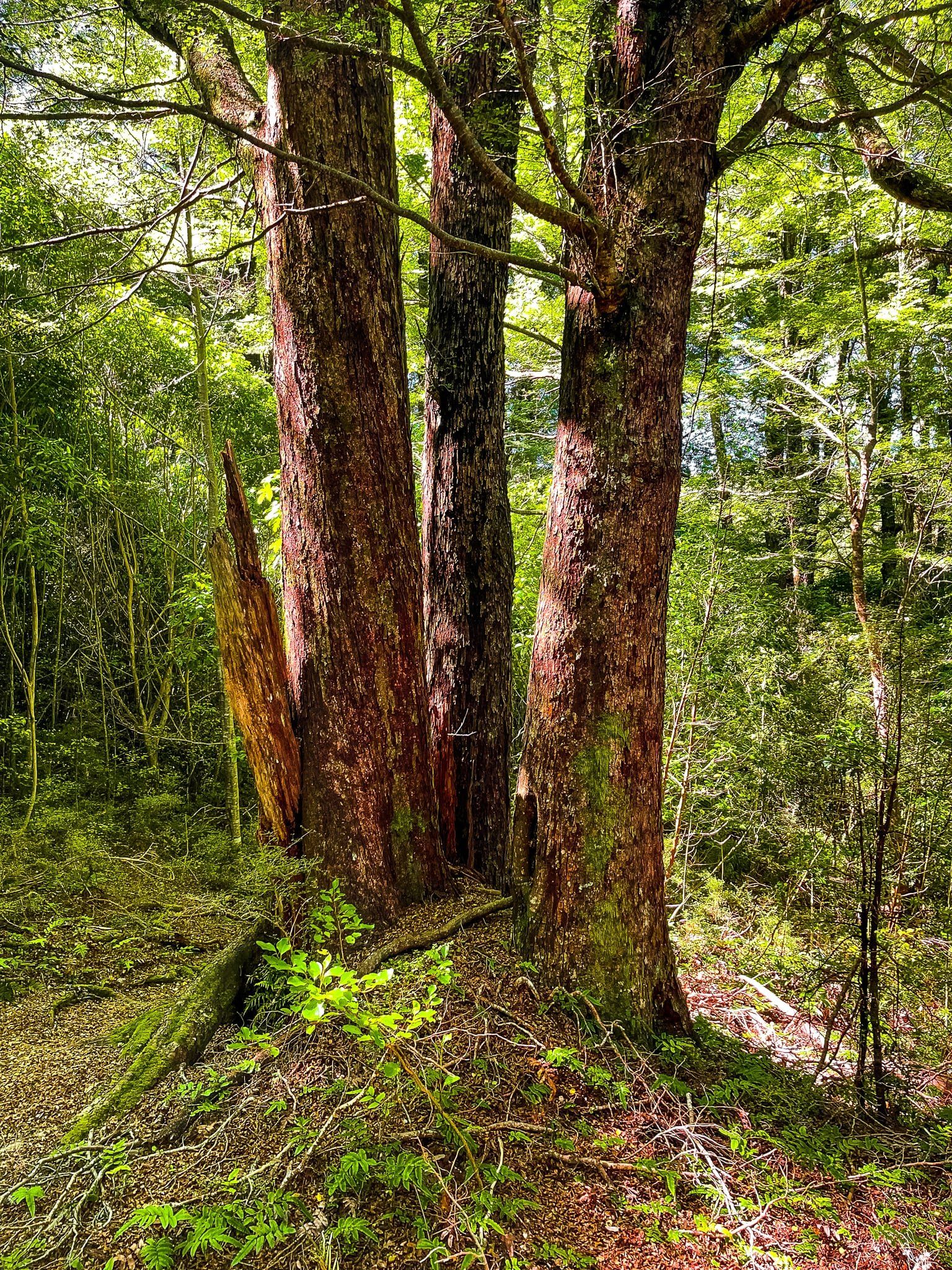
It initially climbs steeply to a viewpoint above a rocky cliff, with another amazing view back across Akaroa. From there, retrace your steps a few metres and veer left on the loop track to the top. This passes through an attractive surviving strip of ancient forest, dominated by mountain tōtara hung with weeping moss to create a goblin forest effect.
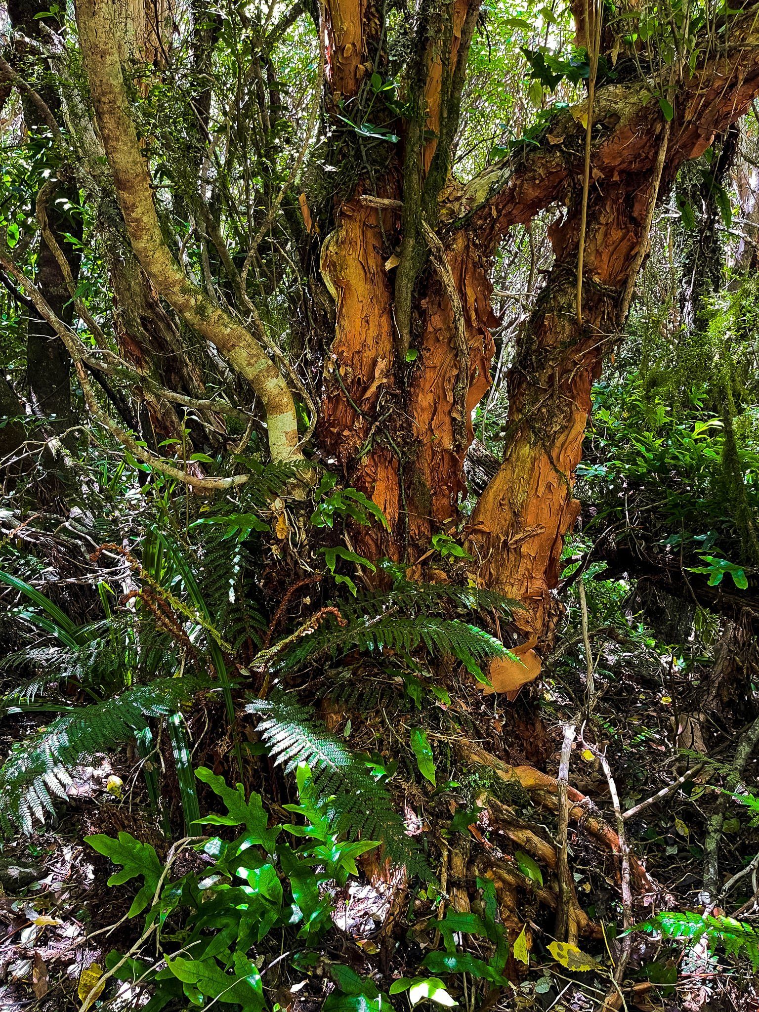
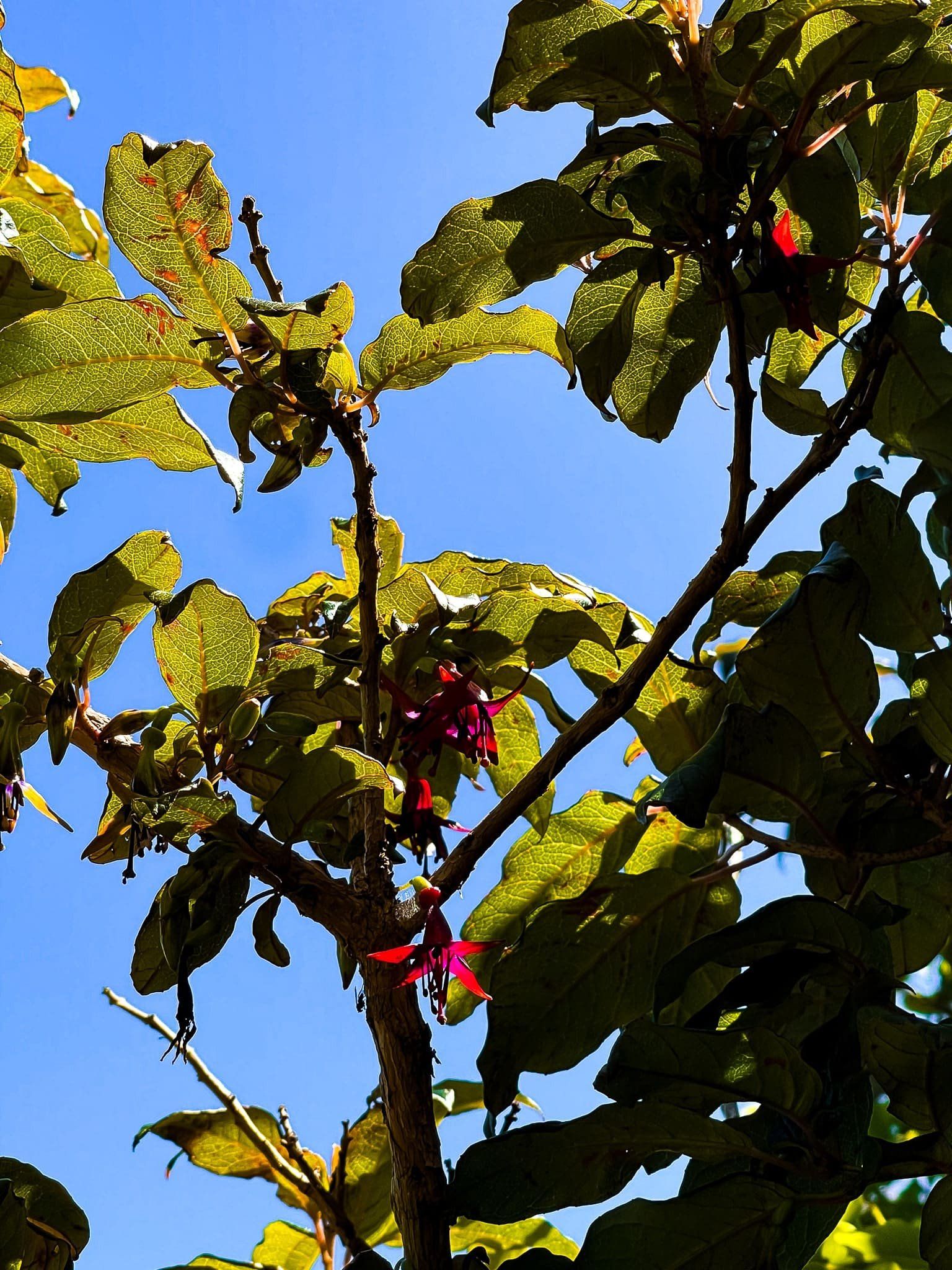
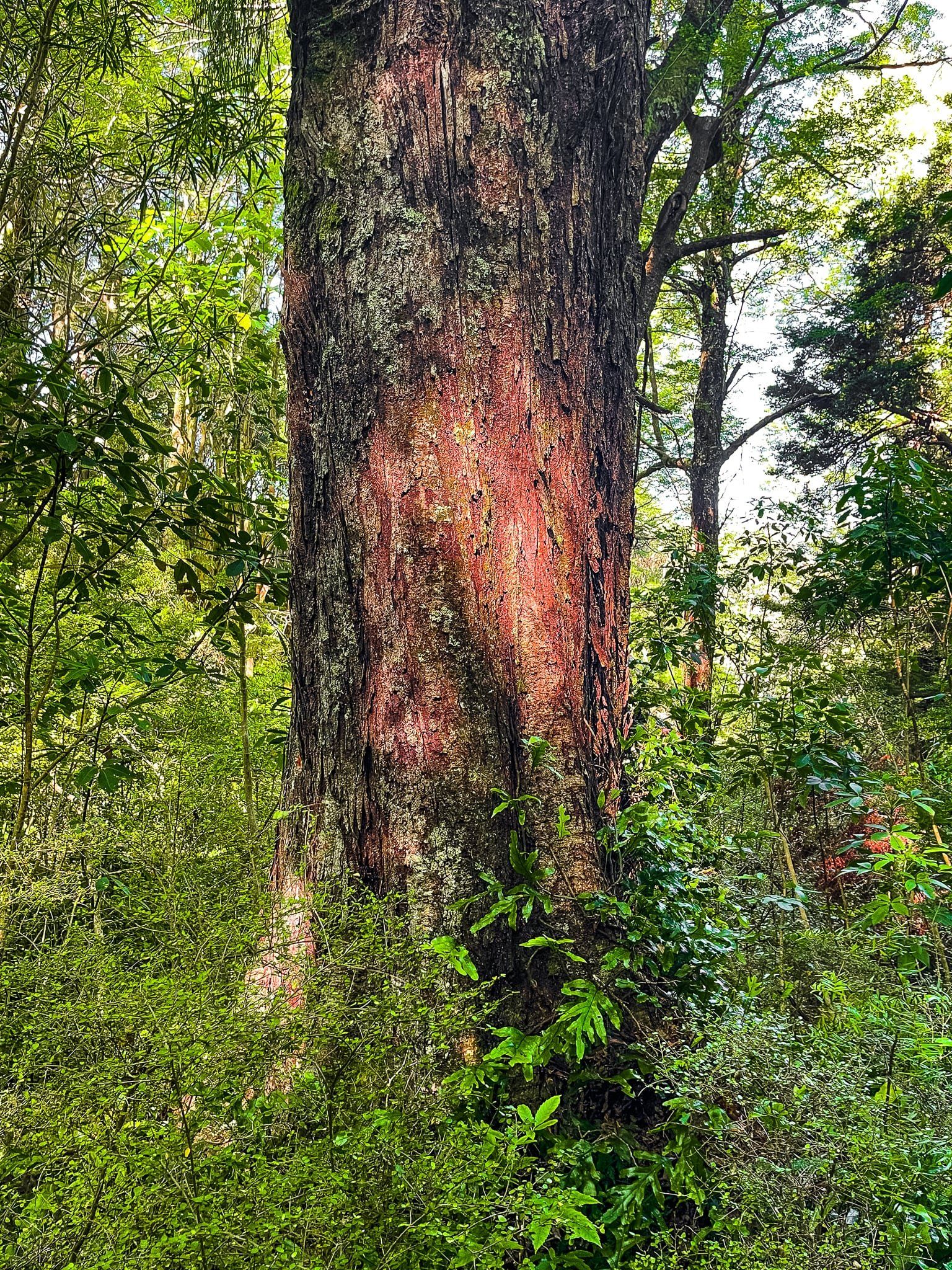
From the top, the return track travels down into a gully through more forest, including a section of mature native fuchsia/kōtukutuku with bright orange trunks.
Ōtepātotu means “place of the fairies” which definitely fits this walk!


Ōtepātotu Viewpoints
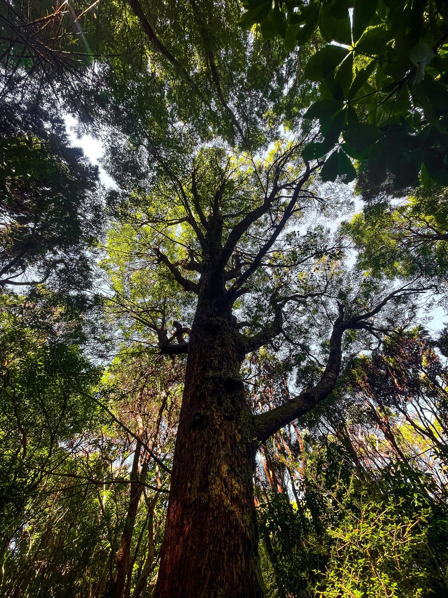
There are two excellent viewpoints on the Ōtepātotu Track and the first only takes a few minutes to reach. After a short steep climb through forest, head left to the edge of the cliff (perfectly safe) for an uninterrupted view across Akaroa Harbour.
The second is from the peak of Lavericks at the top end of the track, which provides a near 360 degree view of the area, and a windmill.


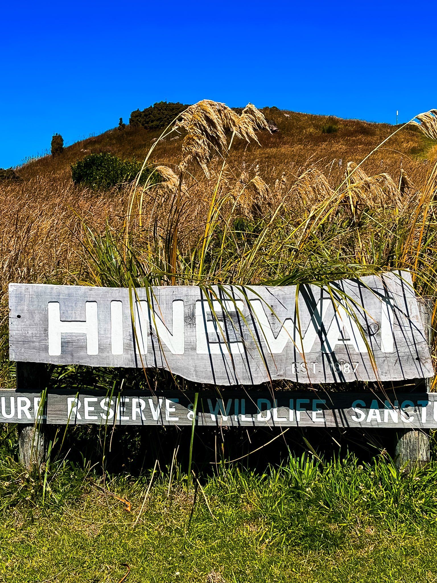
Hinewai Reserve
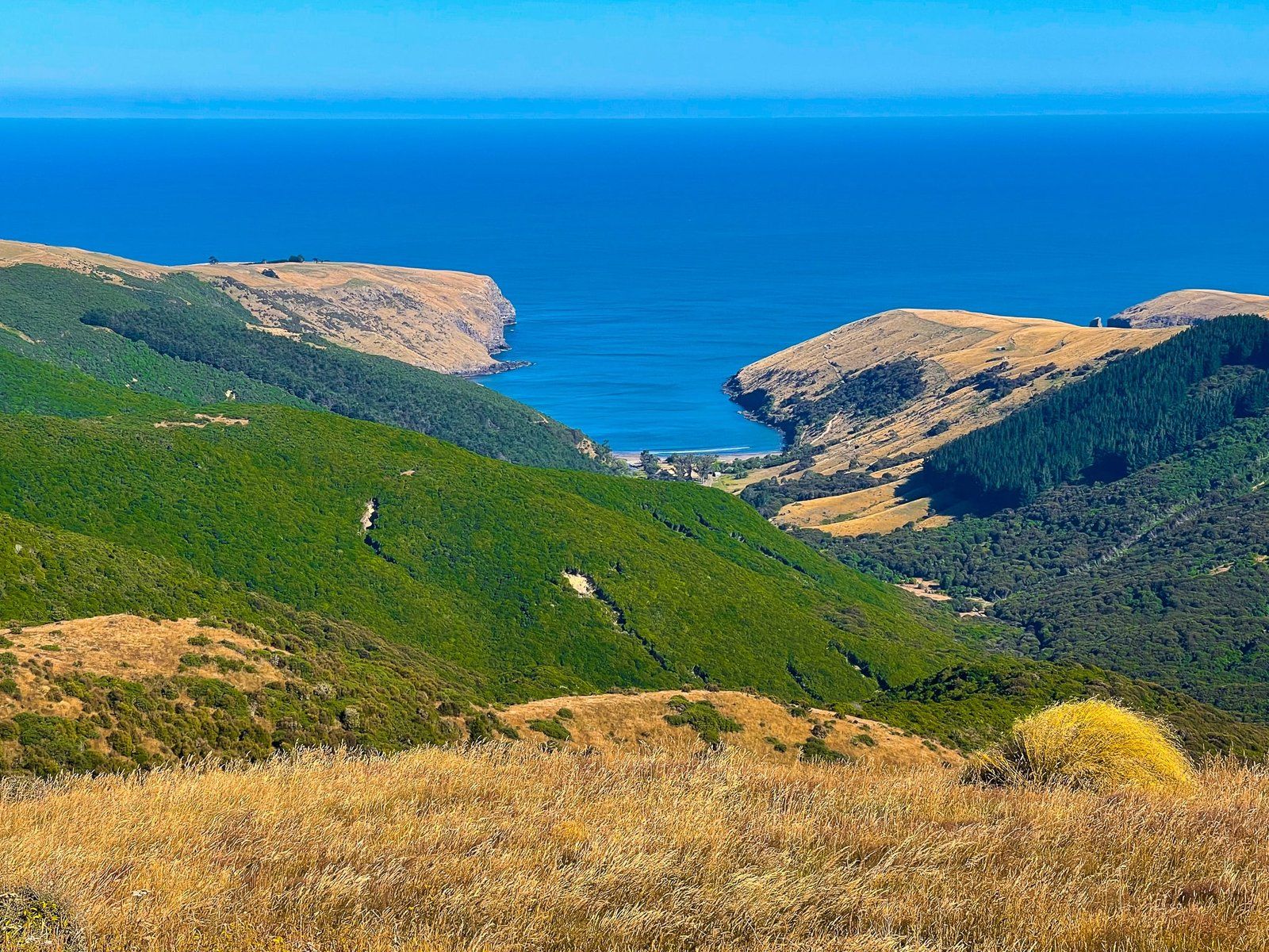
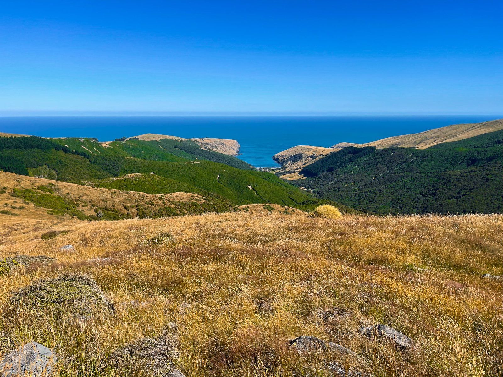
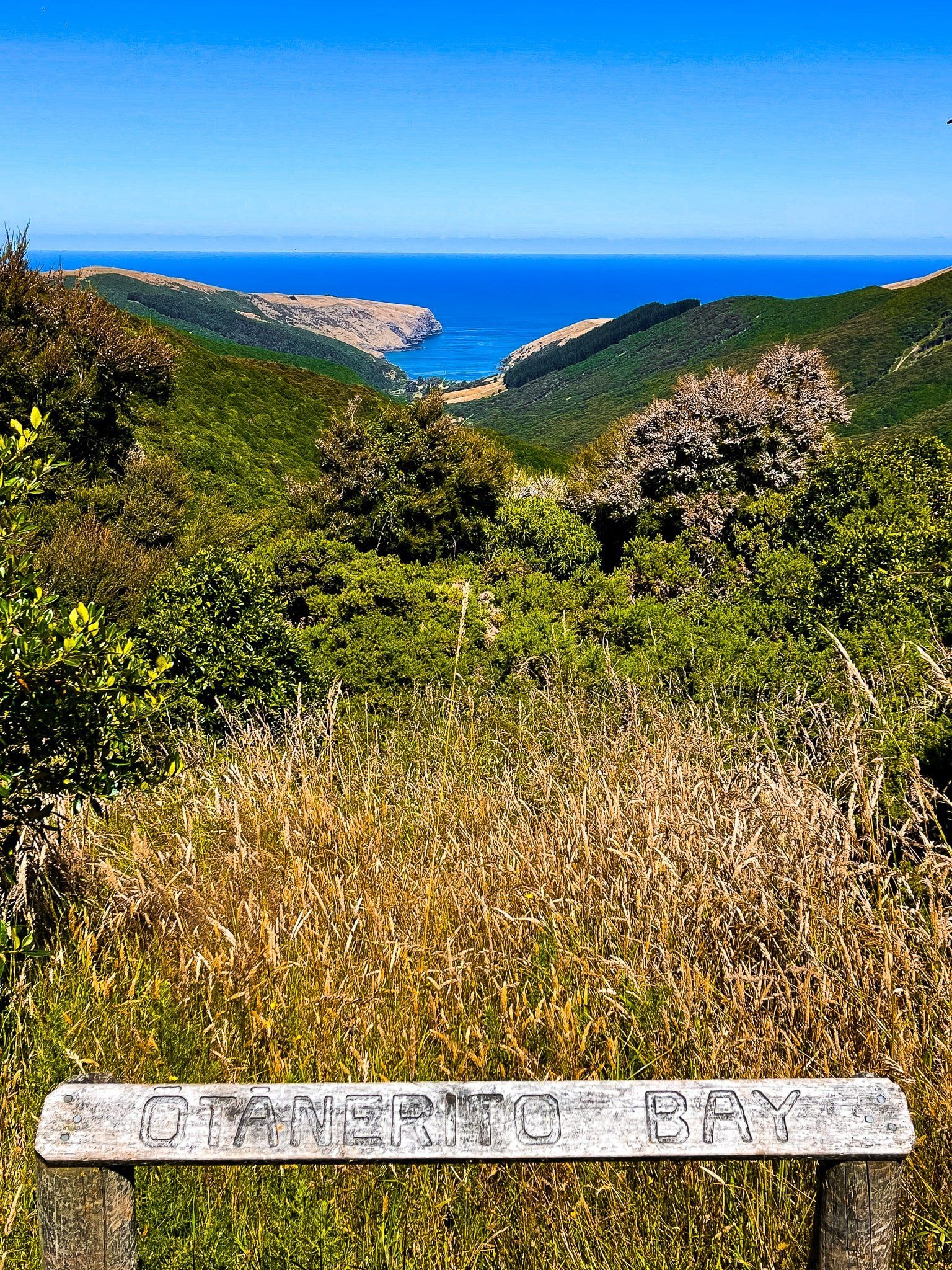
Hinewai Reserve is a substantial 1,250 hectare native forest and eco restoration project on the east side of the crater rim and at the south end of Summit Road. It is bounded by Brocheries Road (a short continuation of Summit Road) plus Long Bay Road to the north and Stony Bay Road to the south. Long and Stony both come up the side of the crater rim from Akaroa.
The reserve is privately owned and managed by the Maurice White Native Forest Trust and began when 109 hectares were purchased by the Trust in 1987. The purchase of Ōtānerito Station followed in 1991 with several subsequent purchases. In 2016 the Trust took over the management of 192 hectare Purple Peak Curry Reserve on the west side of Brocheries Road.
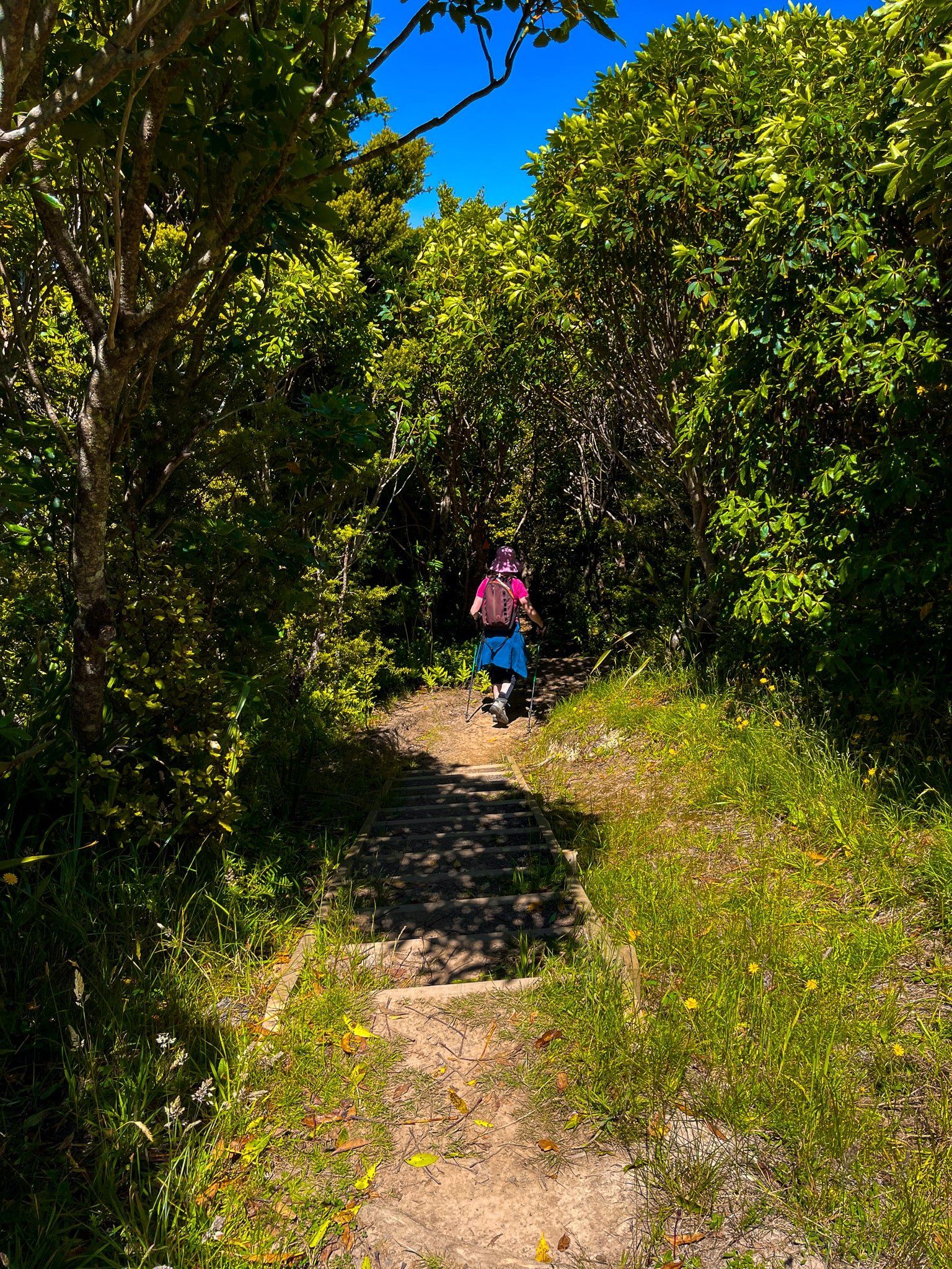
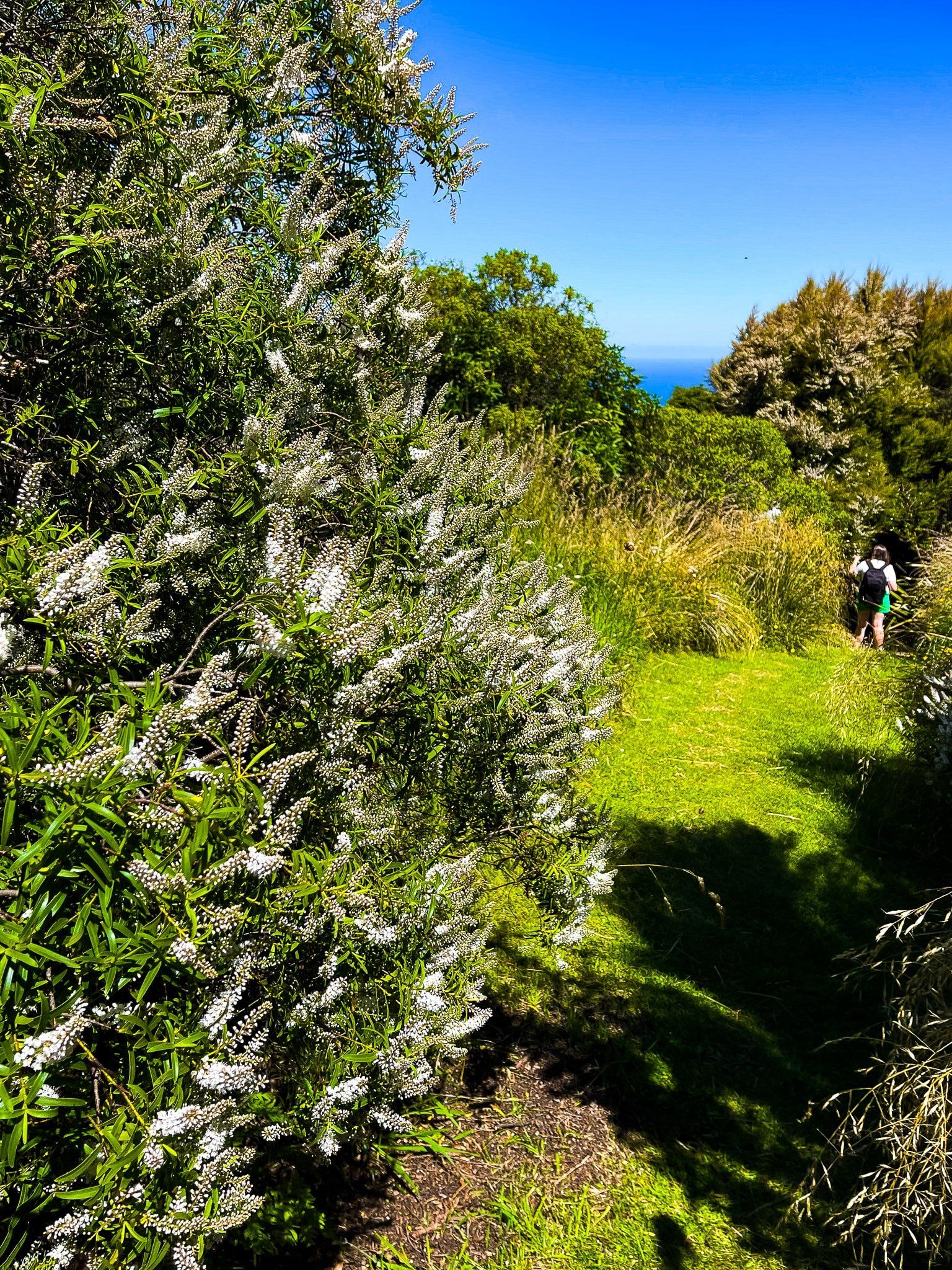
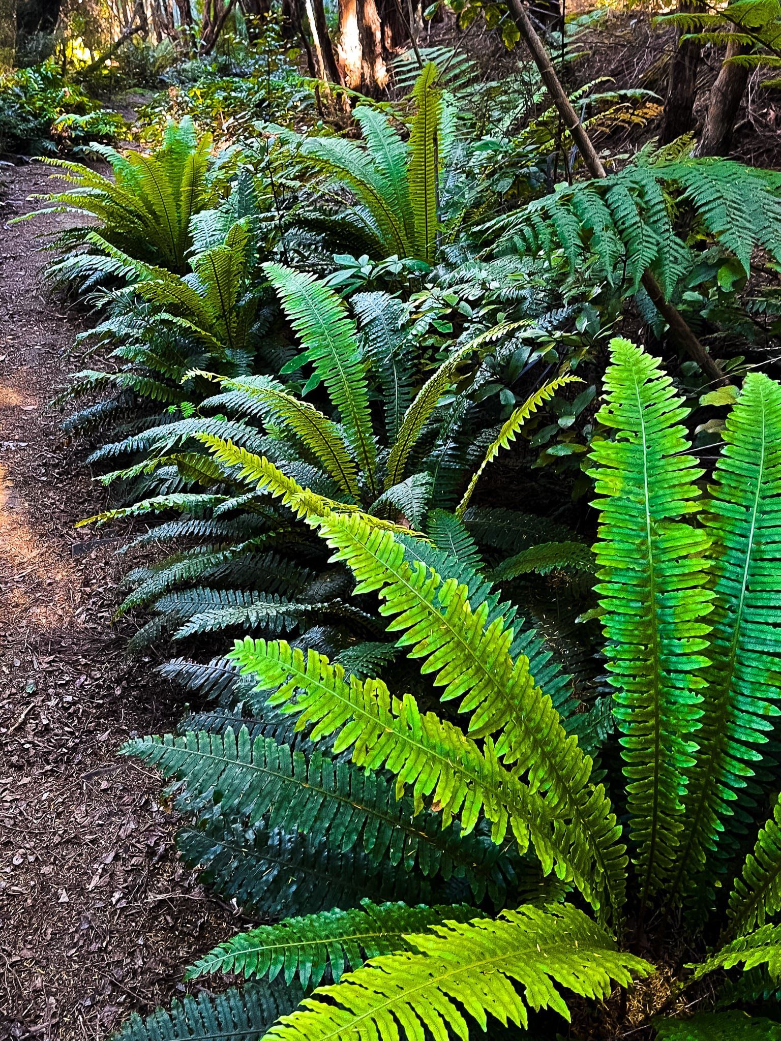
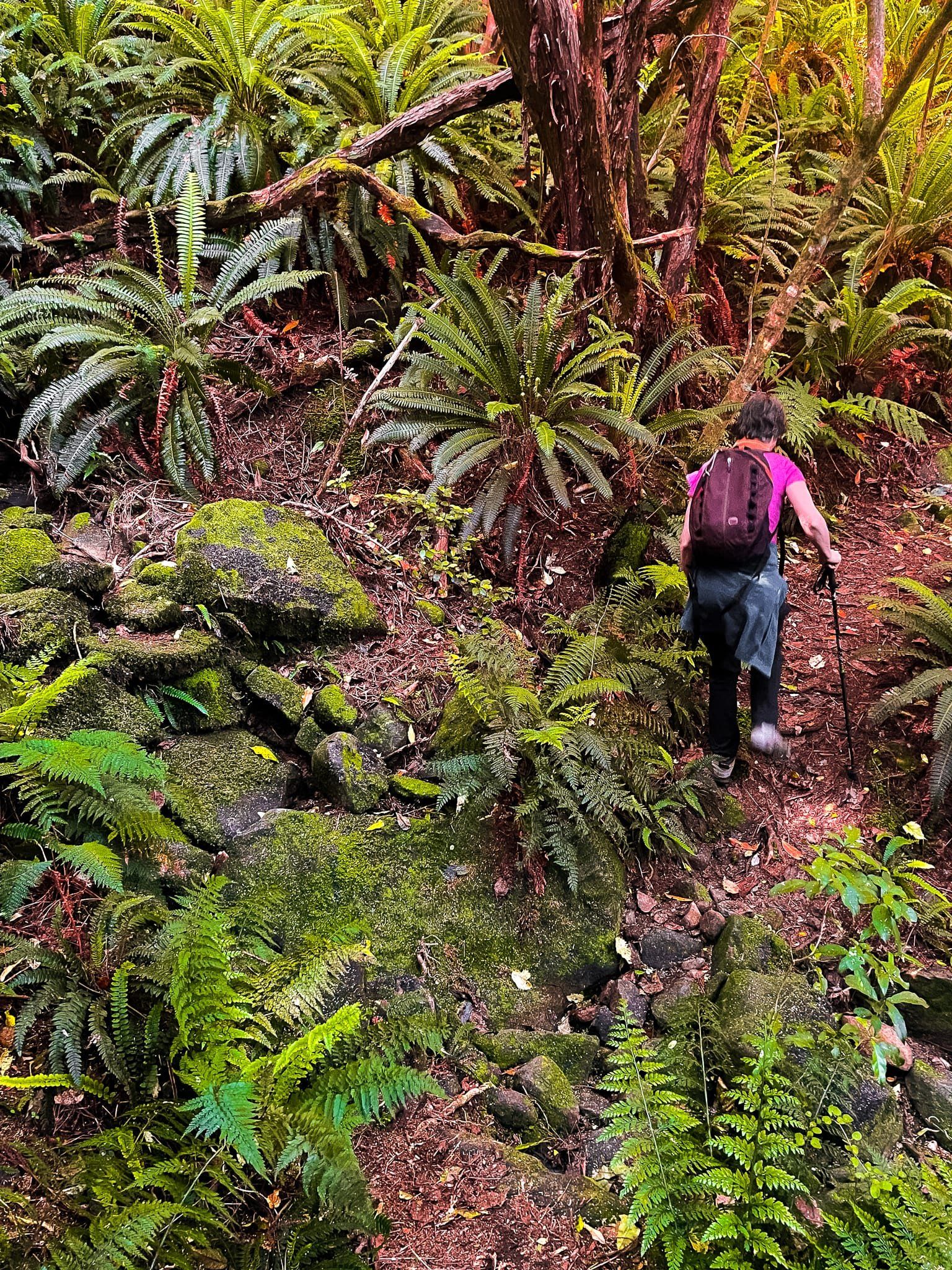
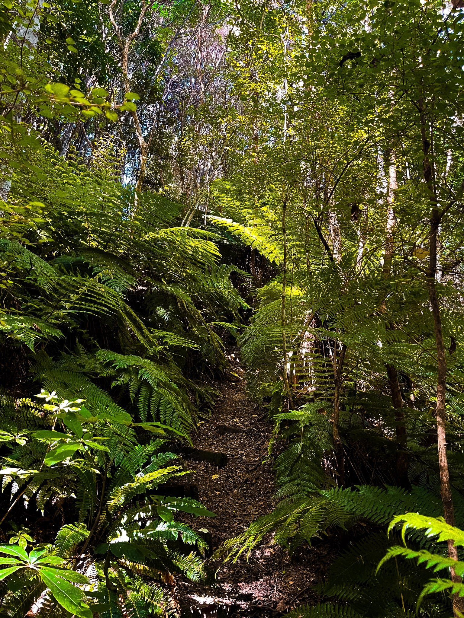
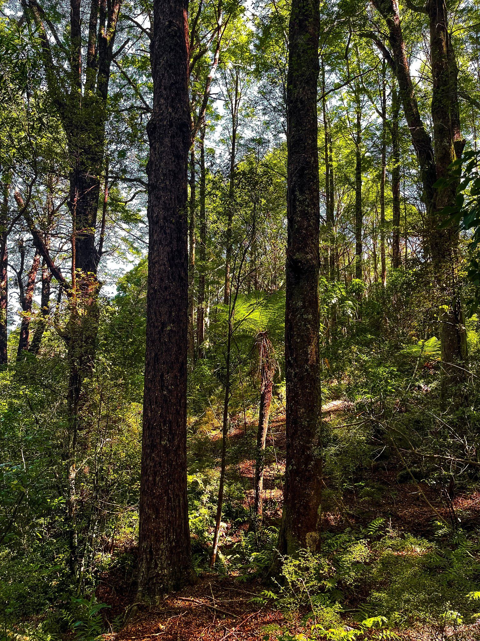
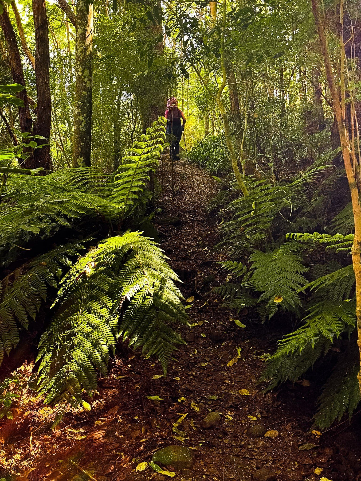
Although private, there are a number of connected free walking tracks through a mix of established and recovering native forest. The main track entrance is off Long Bay Road, but you can also access the track network from the other boundary roads. As Hinewai is contained within a steep wide gully that drops from the top of Stony Bay Peak at 806 metres to near sea level, the walks can range from simple short loops to more dramatic day long slogs from bottom to top.
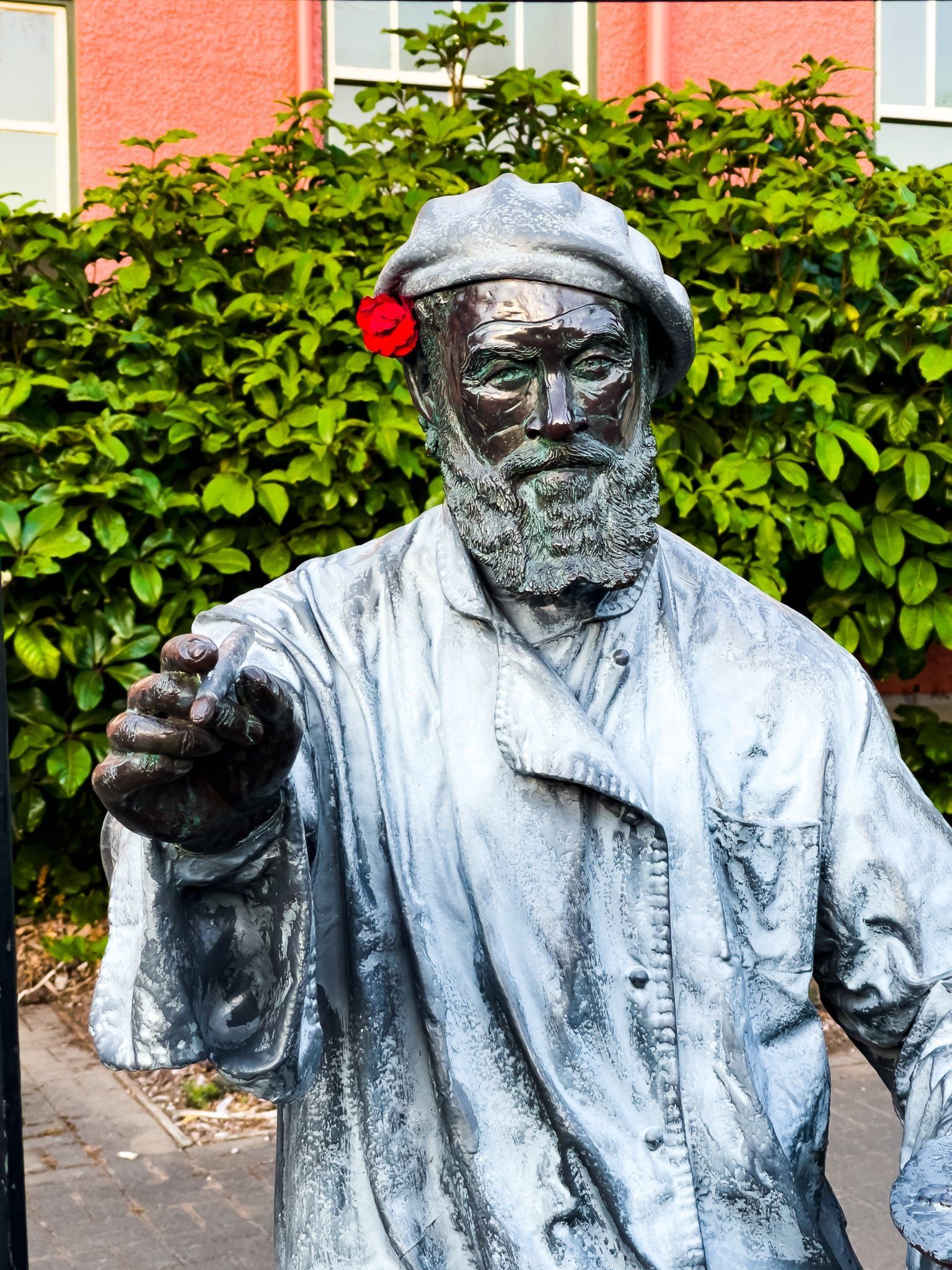
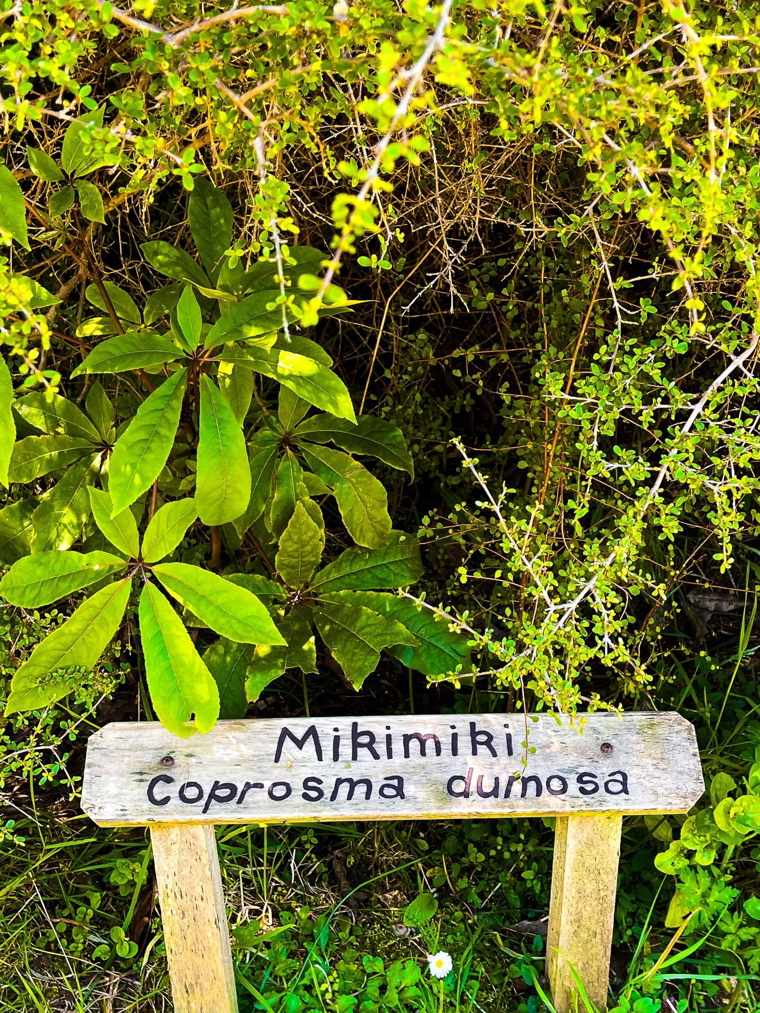
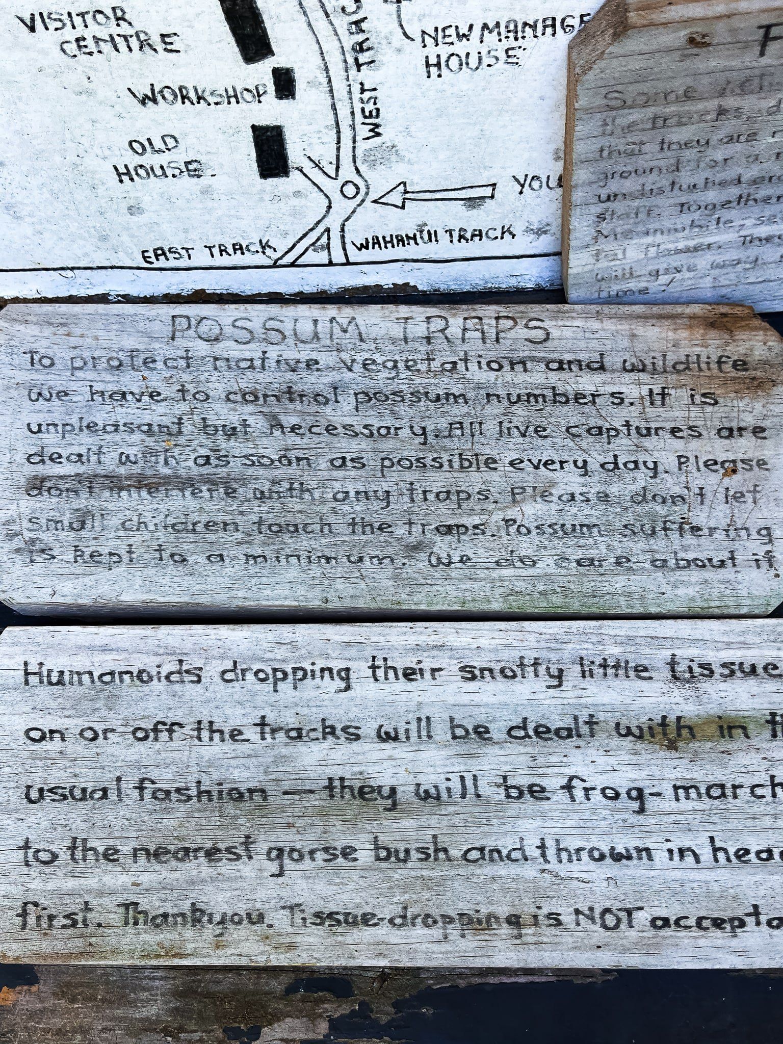
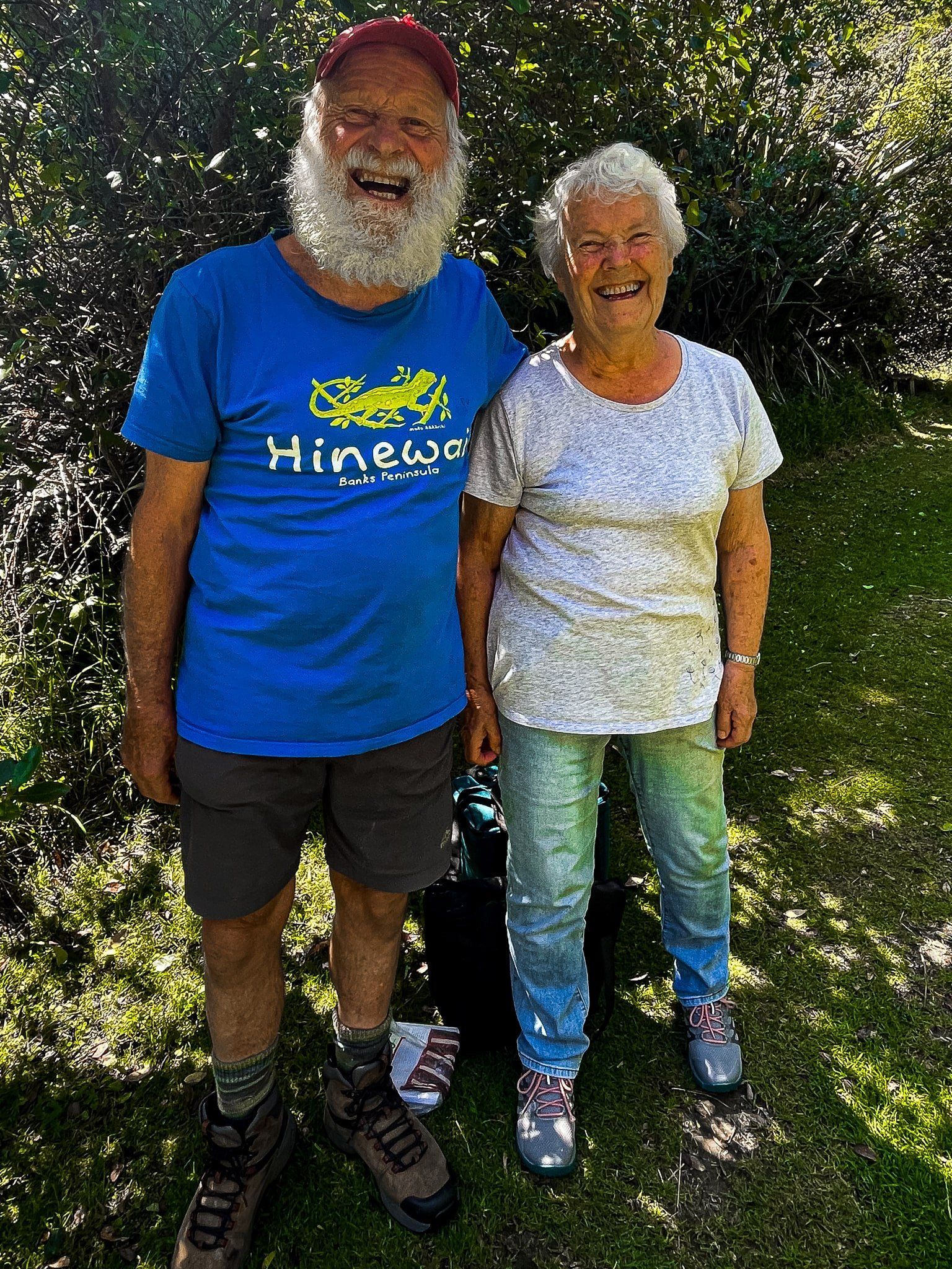
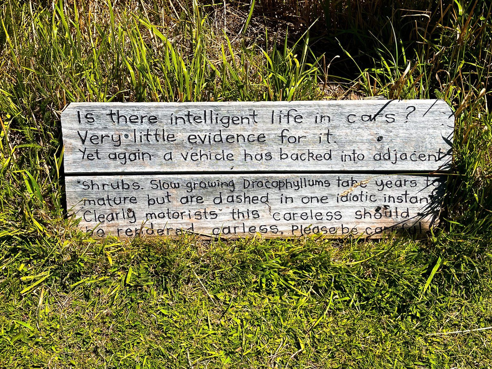
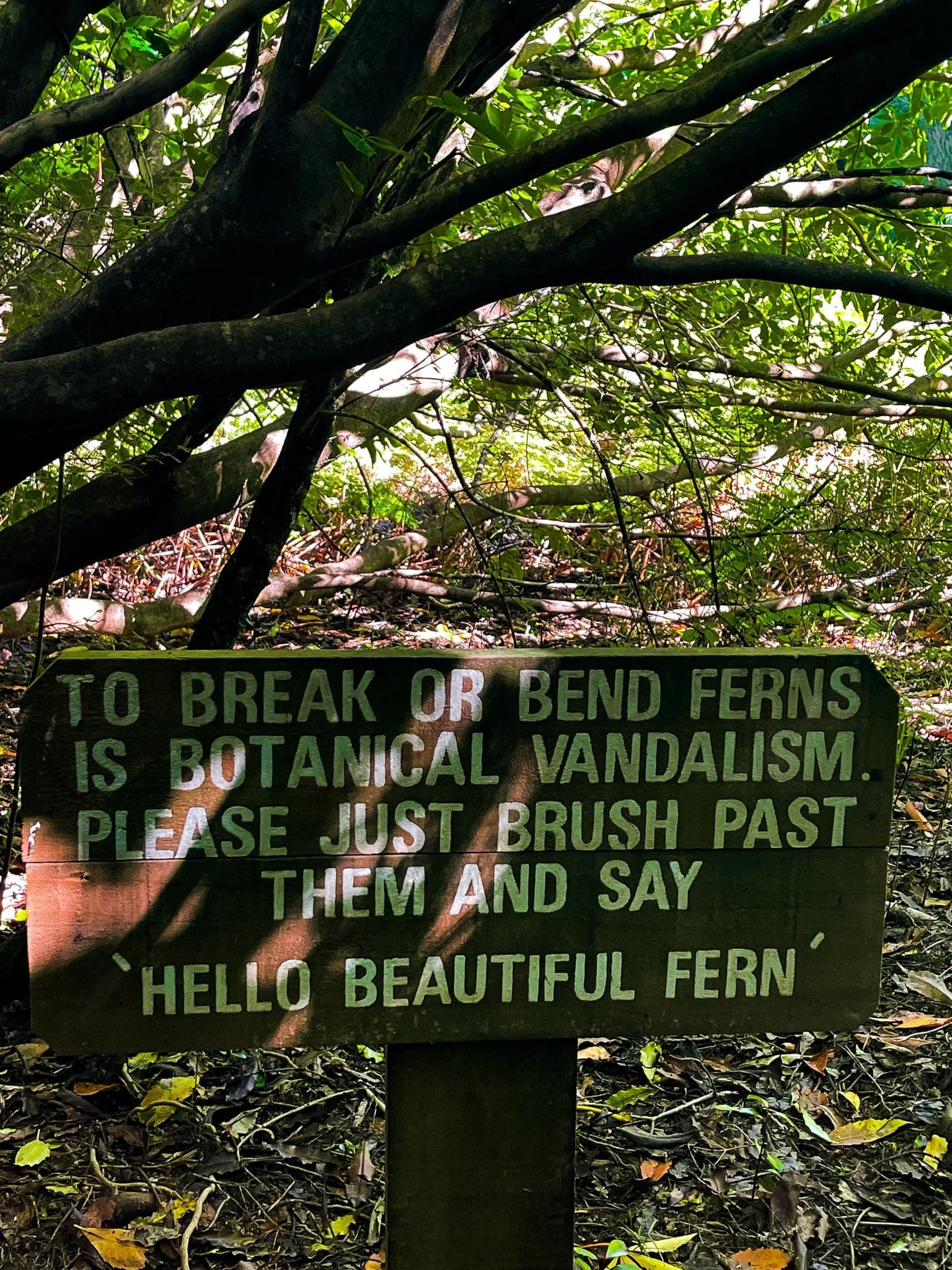
Walking into Hinewai from Long Bay Road exposes you to a variety of native plants and the unique character of its manager, Hugh Wilson (pic below with one of the volunteers, Margaret). Hugh writes the often amusing signs you will see, as well as the map and a regular newsletter. He’s at least as much fun to meet in person and generally around.
A documentary, Fools and Dreamers, was made about Wilson and his reforestation project, which is available to watch online for free.
Mikimiki Knob
Mikimiki Knob is a signposted short easy walk across a paddock to a rocky point to the east of the Hinewai Reserve carpark on Long Bay Road. From there you have uninterrupted views from the crater rim across the reserve to Stony Bay Peak around to Ōtānerito Bay.
Hinewai Walks
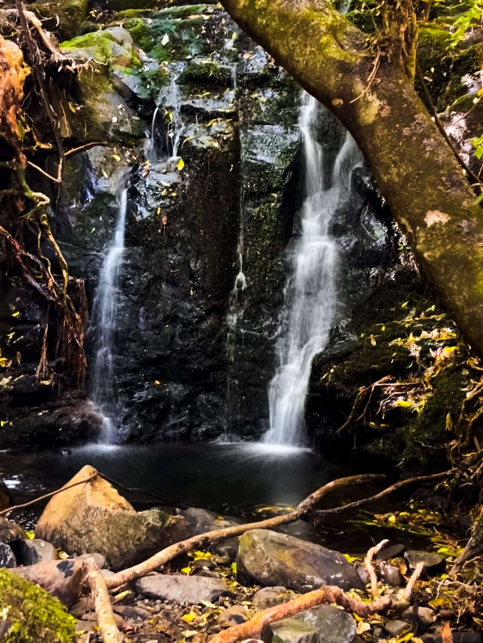
From the Long Bay Road car park, follow the track south down an access road to the Hinewai Visitor Centre, where you can get a map indicating the track names. The easy option from there is to continue south with a couple of loop options. This will include a waterfall, great viewpoints, an interesting example of a major slip and a mix of mature and forest regrowth. There is some up and down but within a roughly 100 metre or so range.
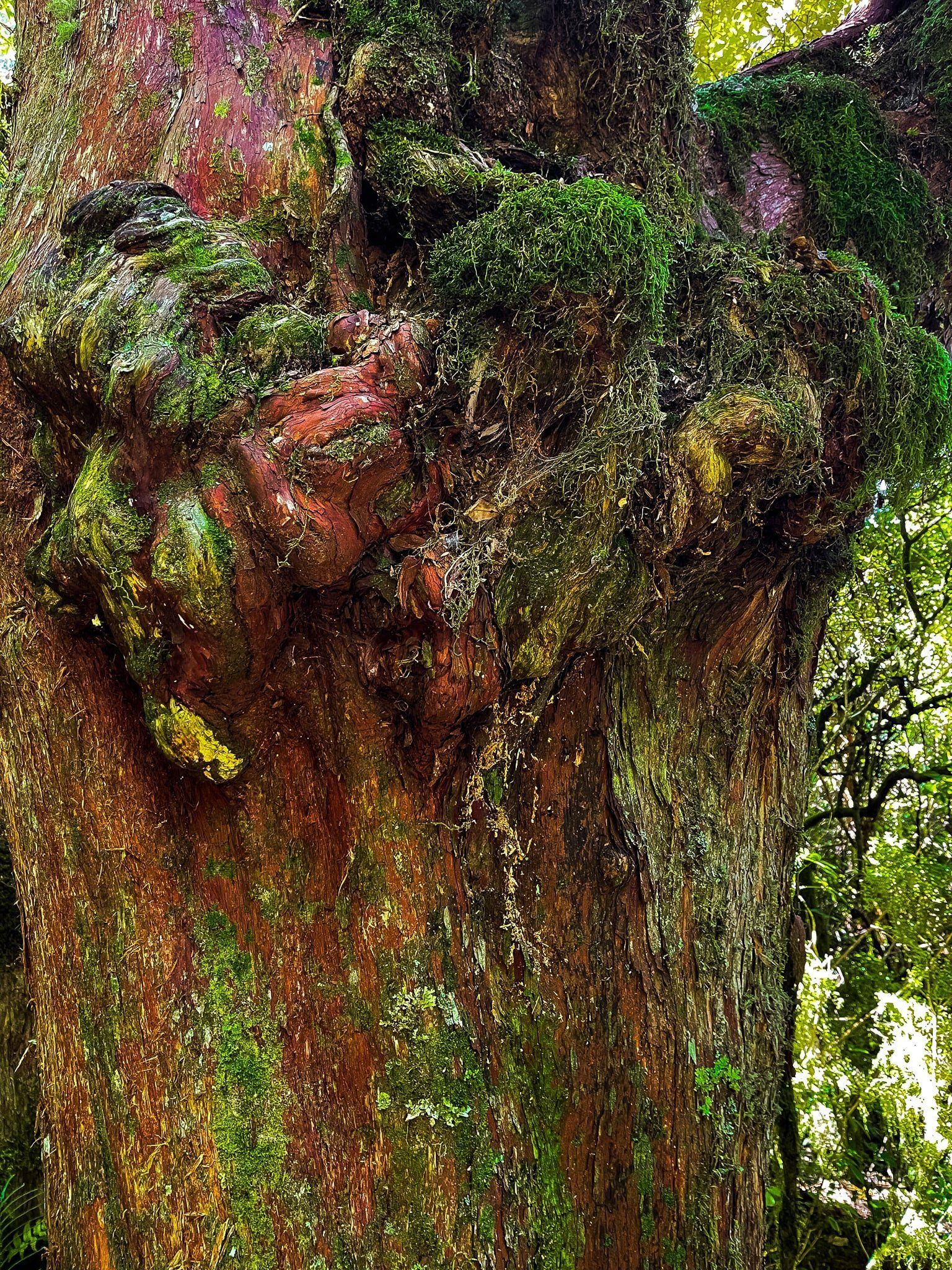
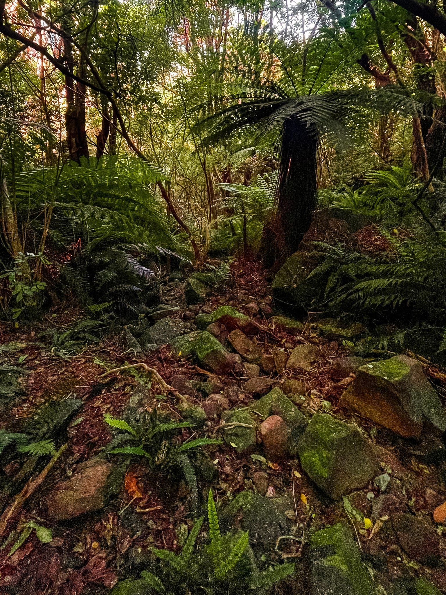
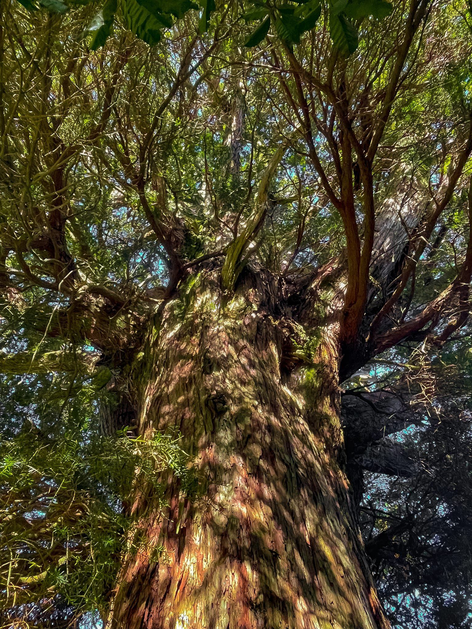
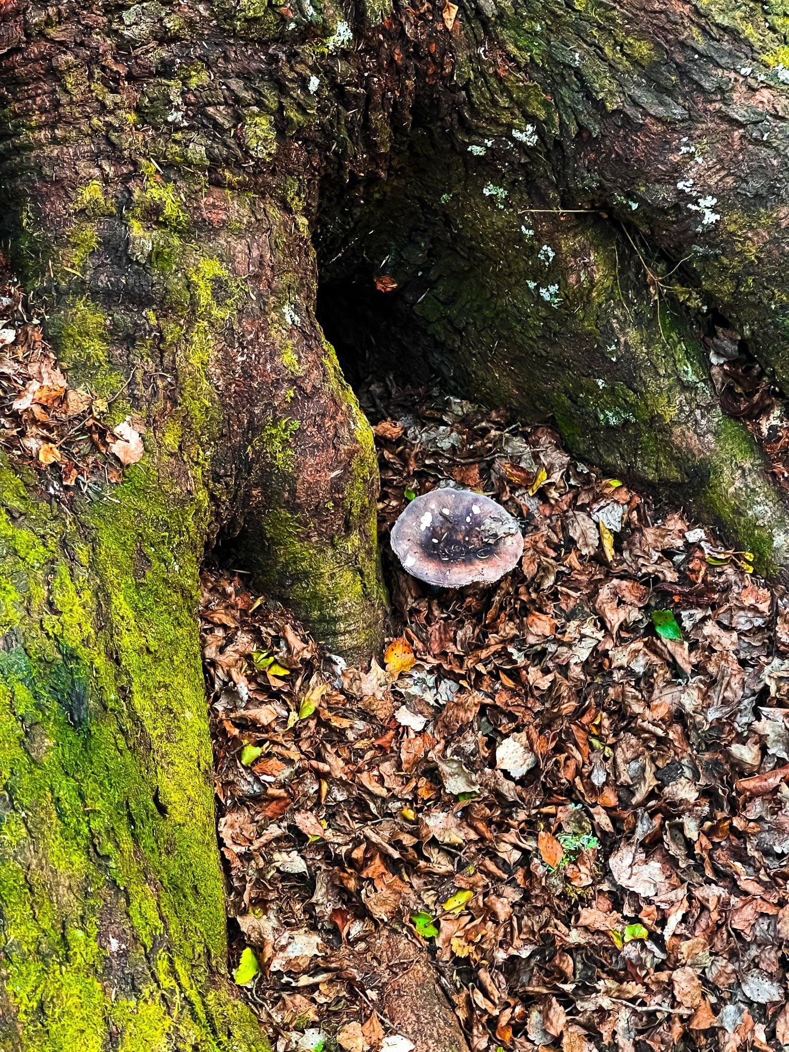
The waterfall is signposted after a short time with a modest clamber to reach the base. The native fuchsia/kōtukutuku around the base of the waterfall look very old, to the point of taking on unusual forms and shapes. Quite the contrast with the thickets of mānuka and kānuka which denote recovering forest. Other parts of the track are through rock falls increasingly overgrown by forest and there is a sign for a very short deviation to an ancient tōtara tree.
Further on you will reach Hinewai’s stunning ancient red beech trees (tawhairaunui). Complete the loop through this forest to connect to the track back to the visitor centre. Allow about 90 minutes for this circuit.
There are various other hiking options in the reserve, including a full day, but these all entail significant hill climbs unless you have a car at both ends.

Hinewai Beech Forest
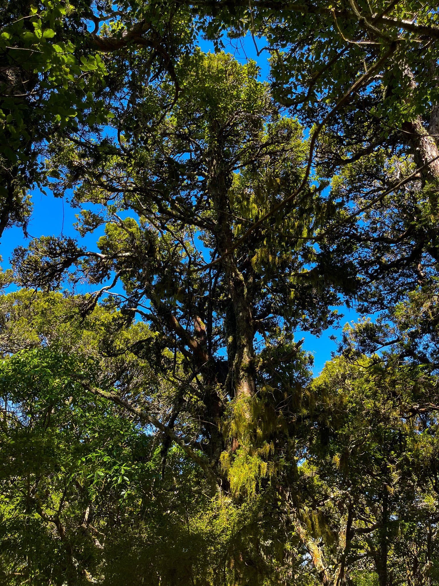
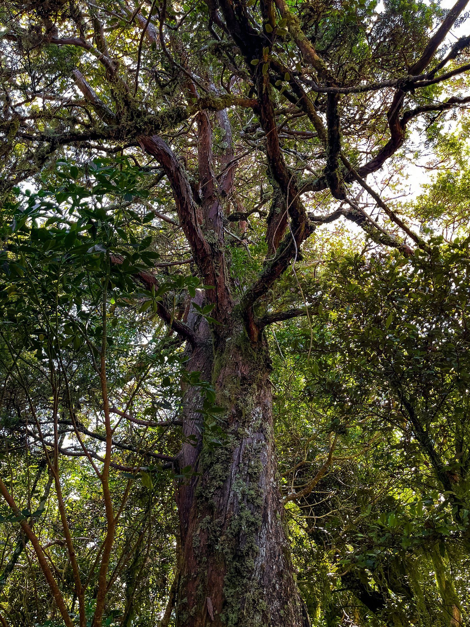
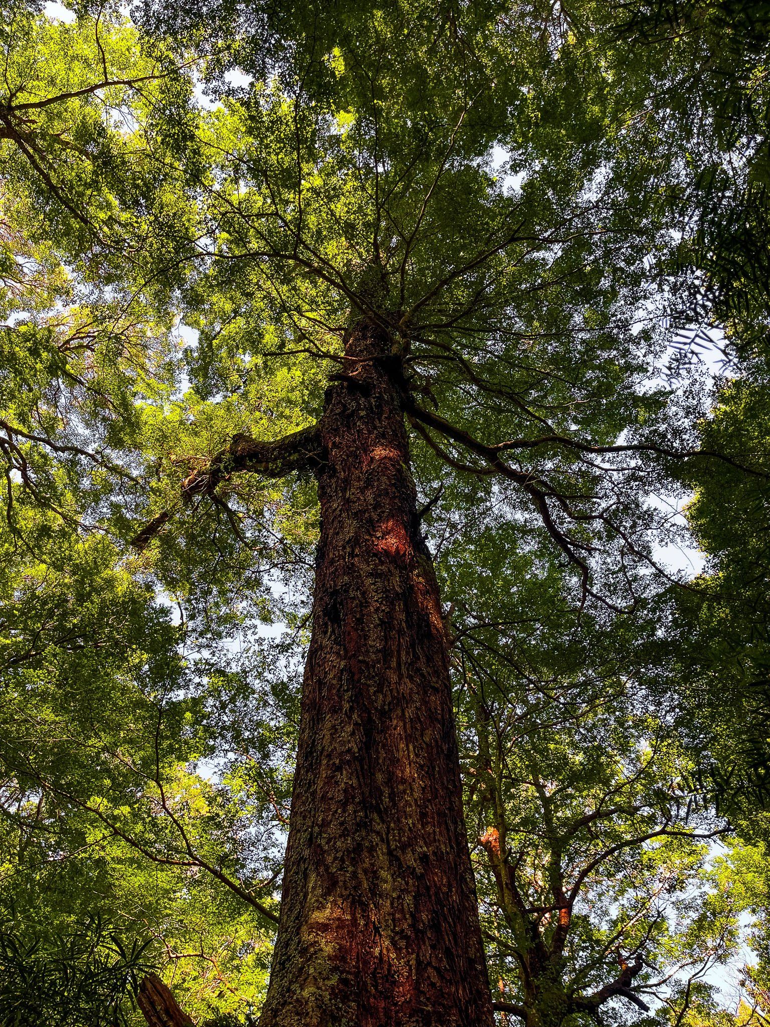
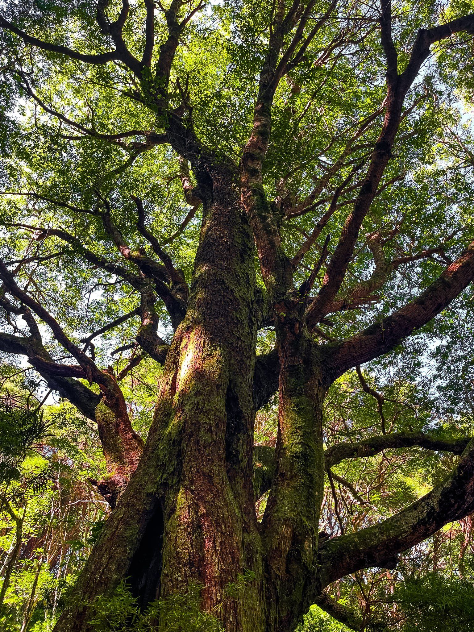
At the far southern end of the Hinewai Reserve West Track you will reach the best protected red beech trees (tawhairaunui) on Banks Peninsula. These trees are ancient, mostly straight and up to 35 metres tall, and an example of what the forest on the peninsula was like pre-clearance for farming.
The lack of thick undergrowth is also a feature and a sharp contrast to the clambring for position and space of the shrubs and smaller trees that dominate the nearby recovering forest. Take your time as you walk through; there are not that many places with easy access to big beech trees around NZ.
Continue on the track through the forest then either head downhill all the way to the low point at the east end of the reserve (you need a waiting car or it’s a 450 metre hike back to the top), or continue on the loop back to the visitor centre.

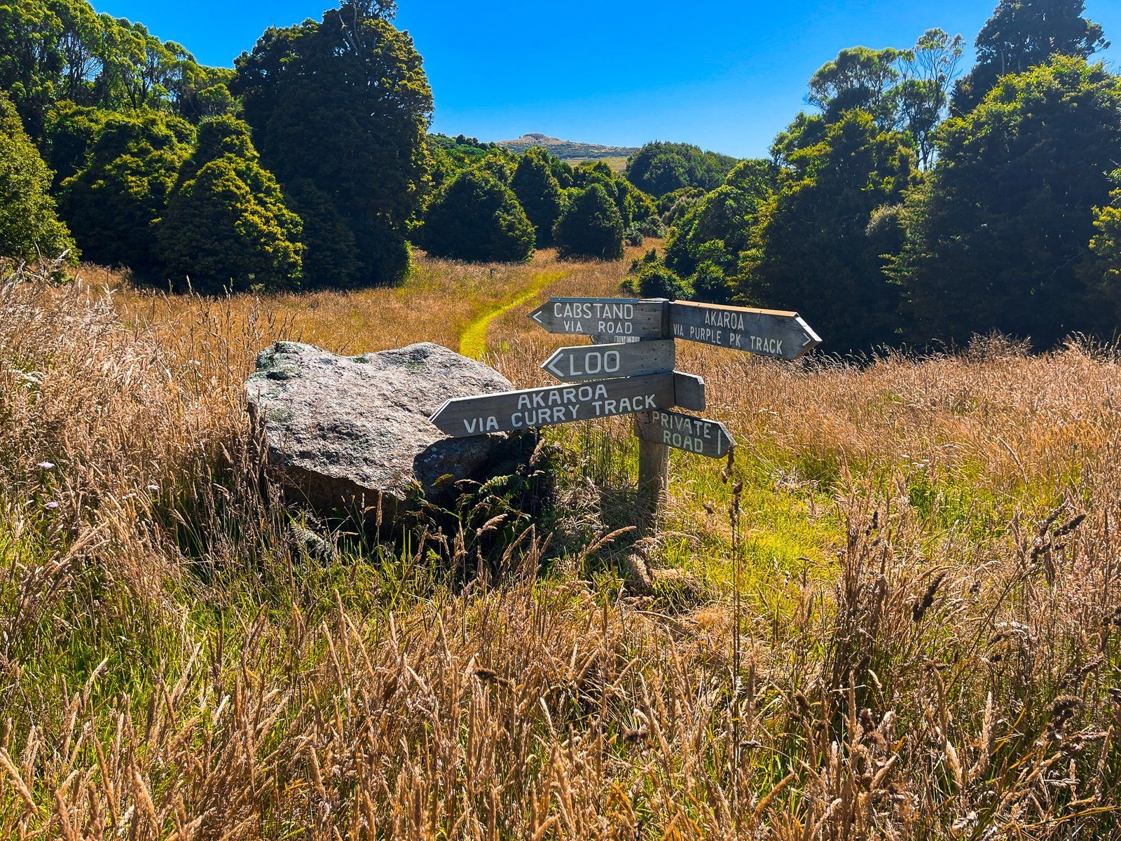
Brocheries Road End
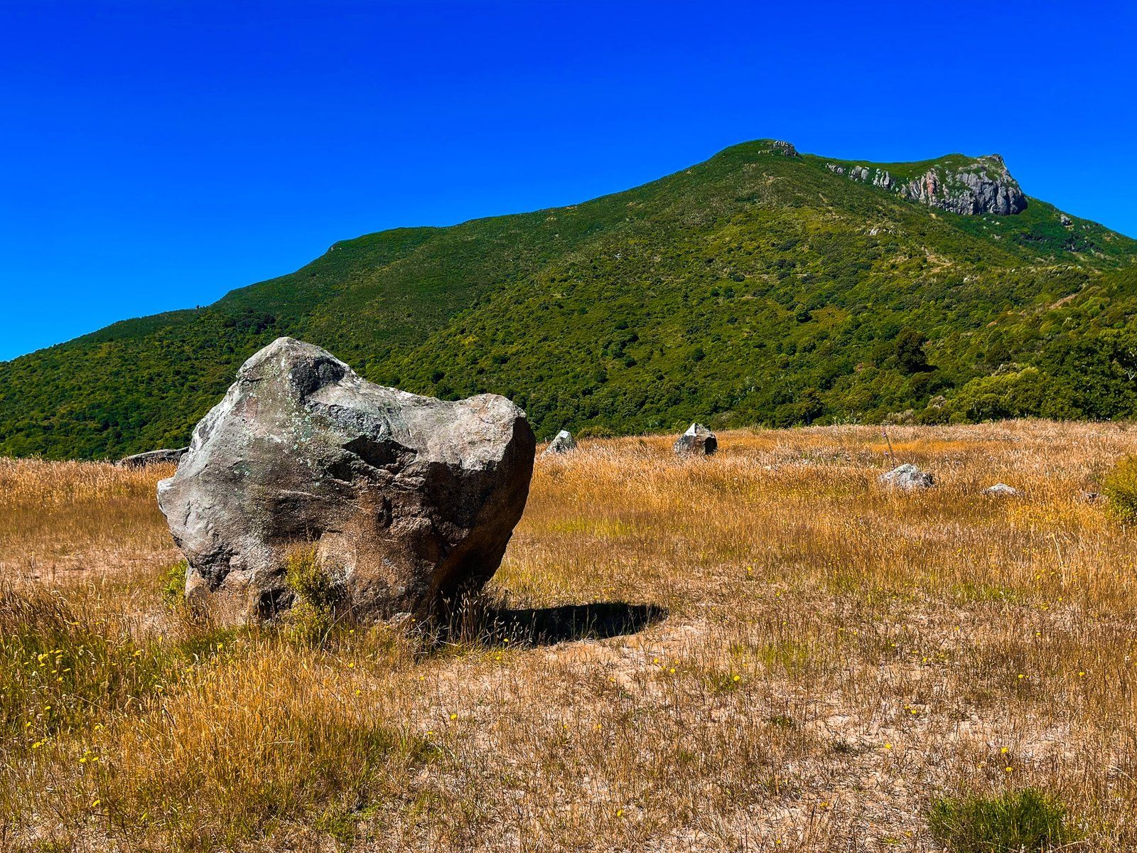
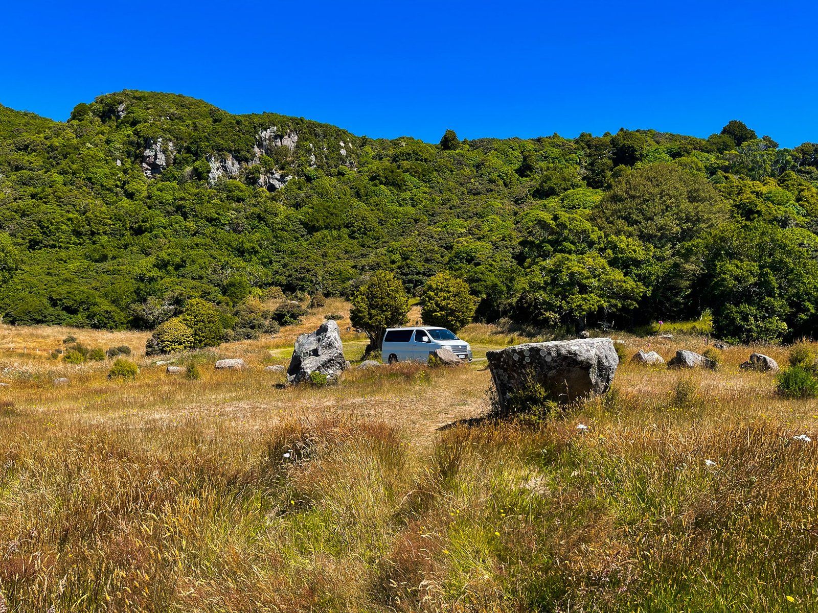
Brocheries Road provides easy access to the southwest end of Hinewai Reserve and to Purple Peak Curry Reserve on the west side of the crater rim, overlooking Akaroa Harbour. Drive to the end of the road and park near a large grassed area. From there, you can connect with tracks that take you north into Hinewai, west to Purple Peak Curry, and south to the top of Stony Bay Peak, a climb of 300 metres to a highpoint at 806 metres.
If it sounds all too hard, there’s no shame in settling down in the grass for a picnic and enjoying the views of the crater rim top.
Want more Canterbury Trip Ideas?
Check out our blogs Winter Road Trip to Aoraki Mt Cook, Touring the Ashburton Lakes to Erewhon, and Off the Beaten Track, Reefton to Arthurs Pass.