
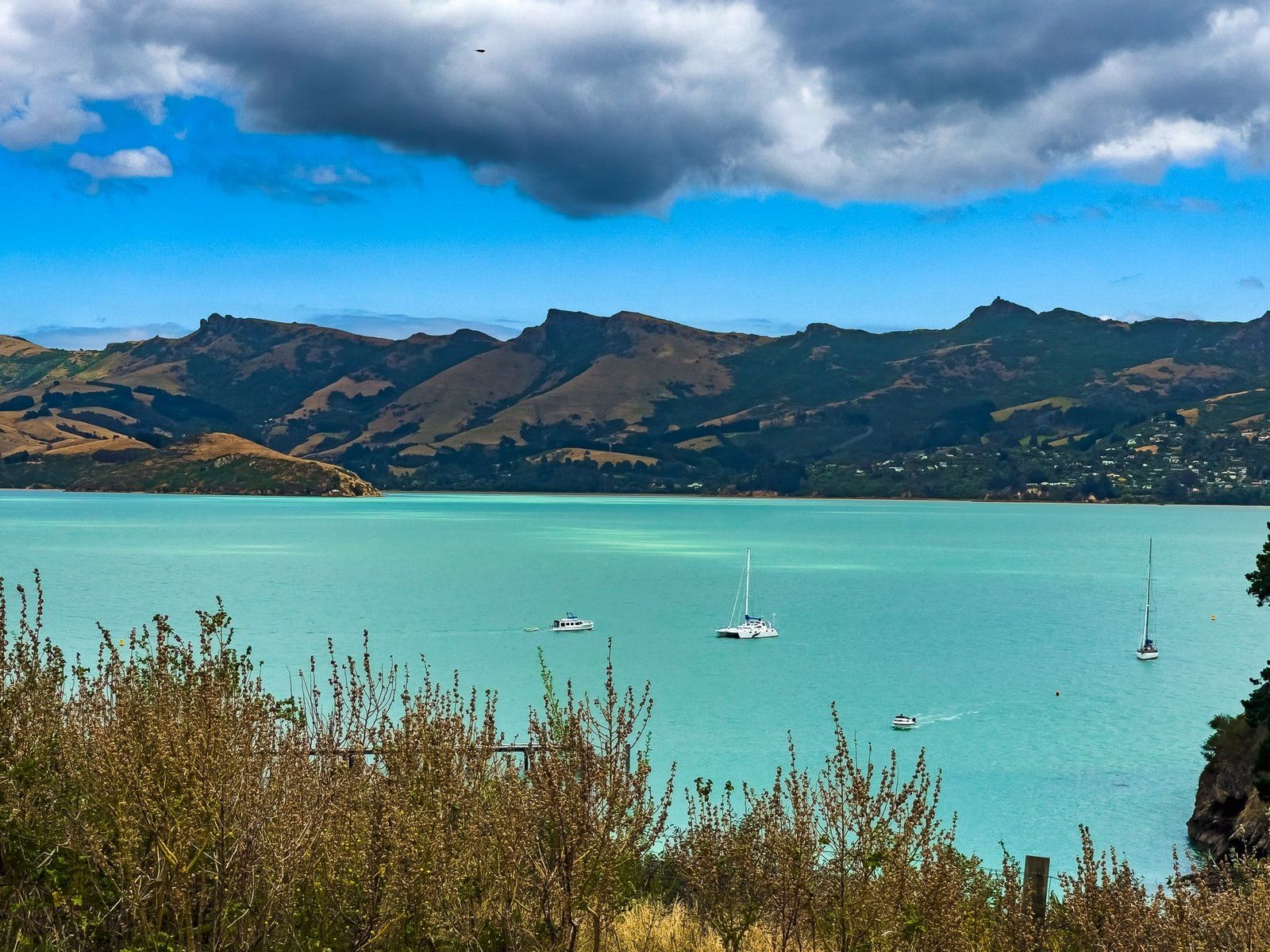
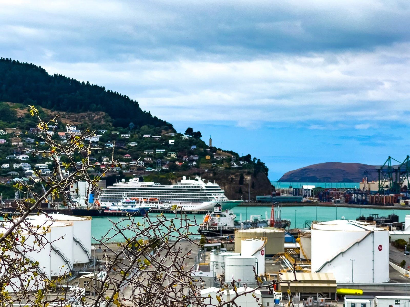
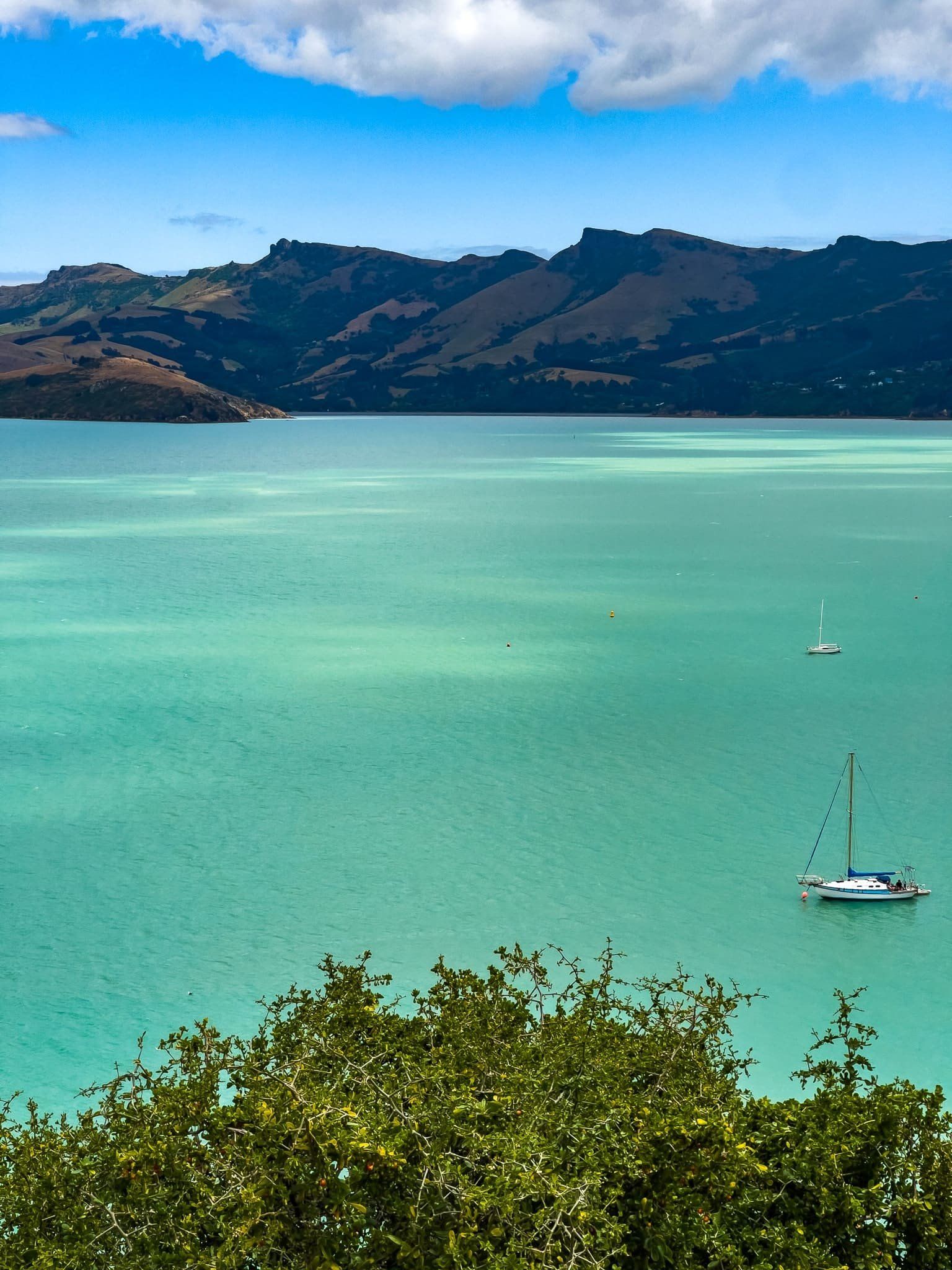
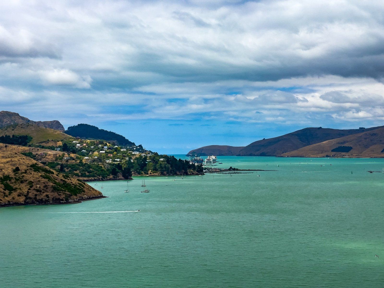
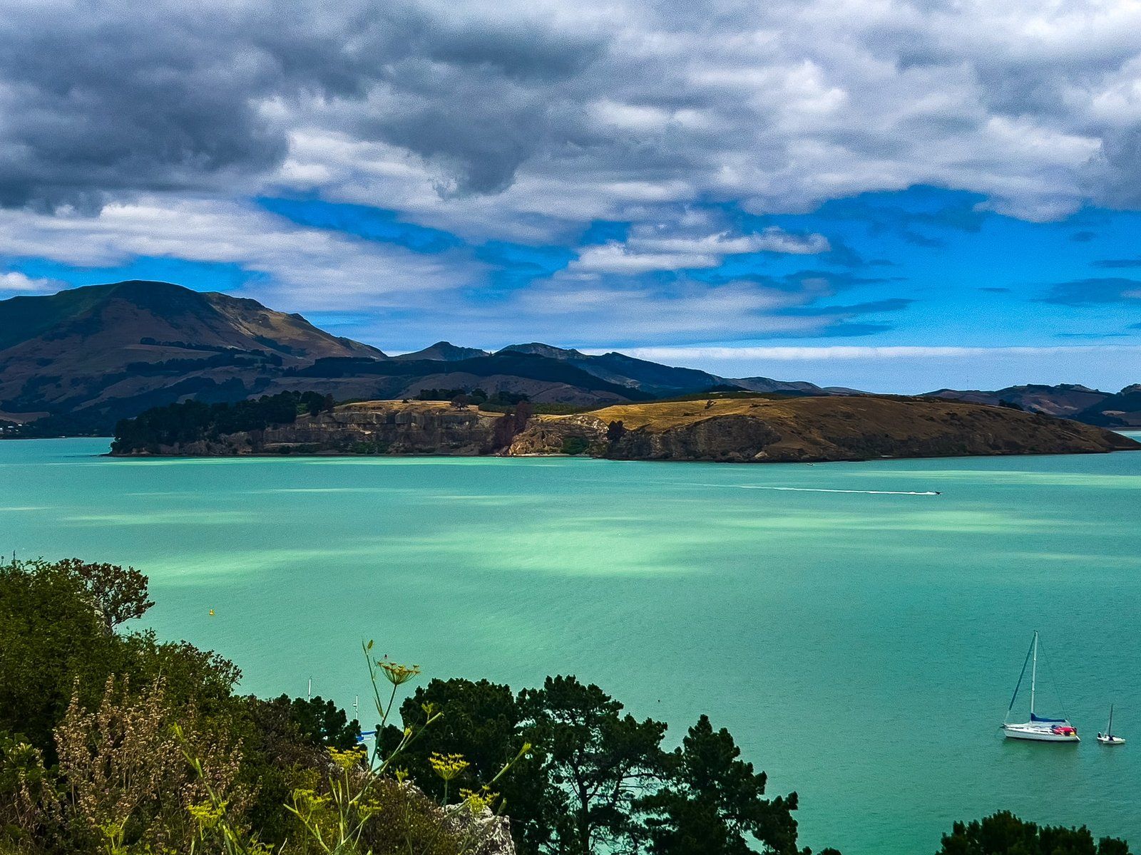
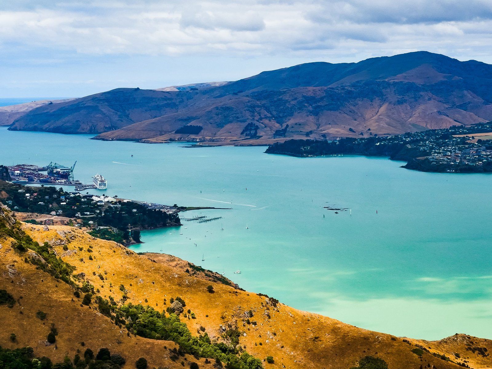
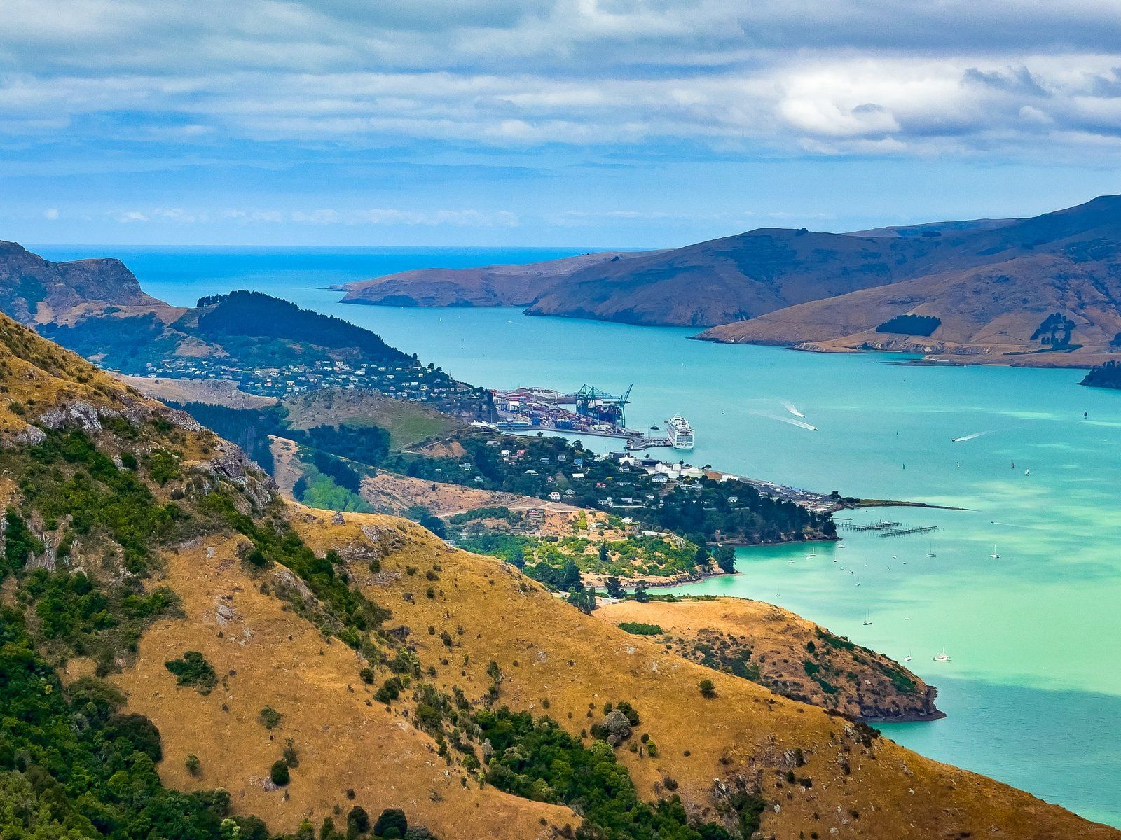
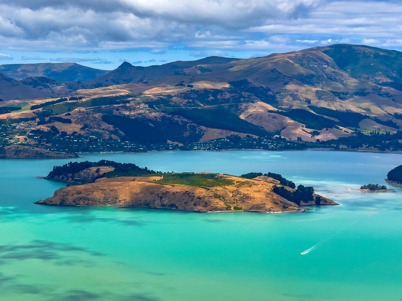
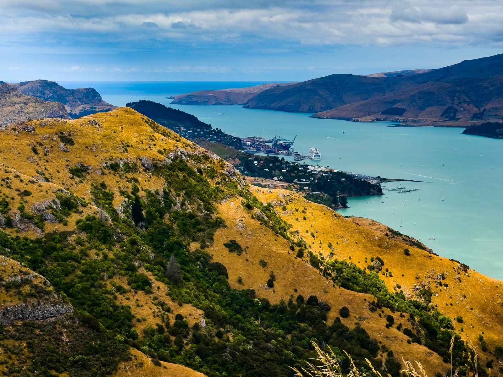
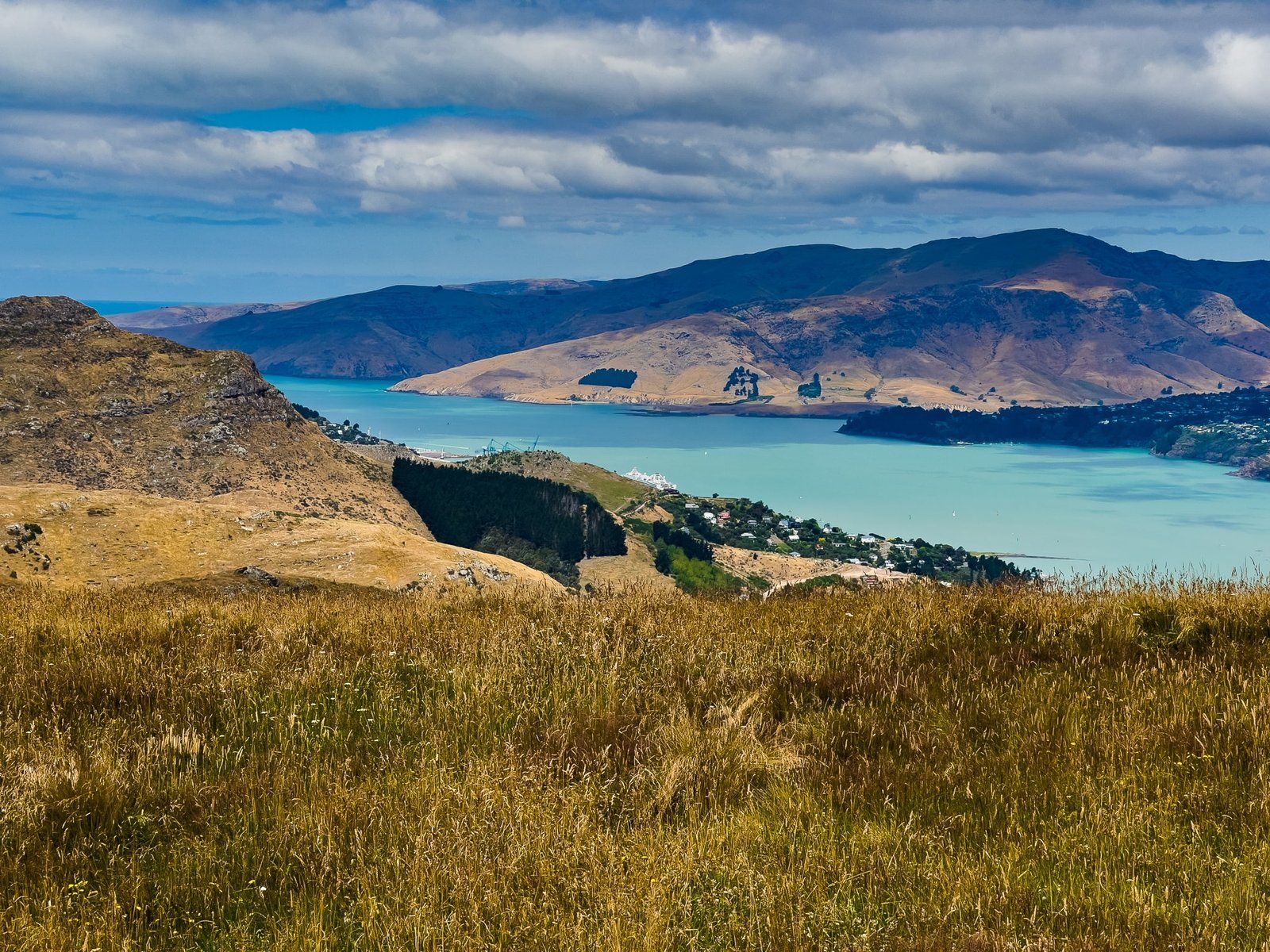
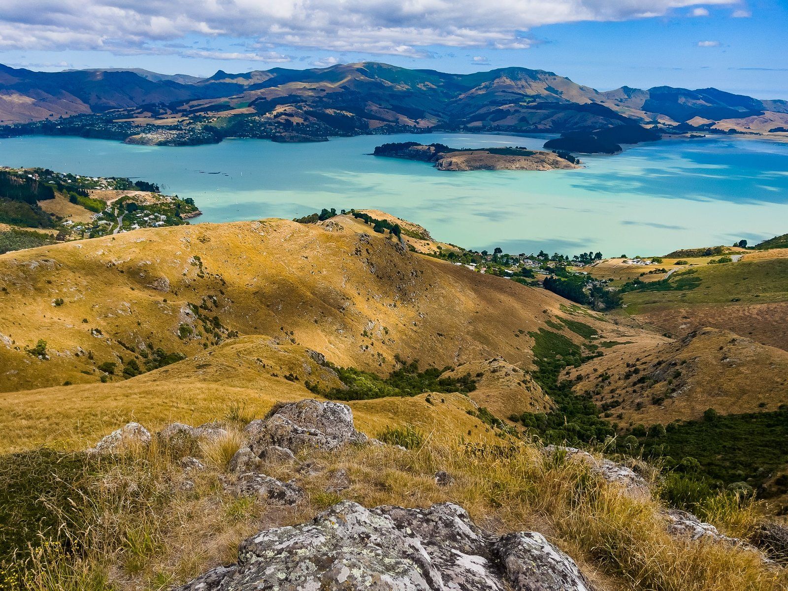
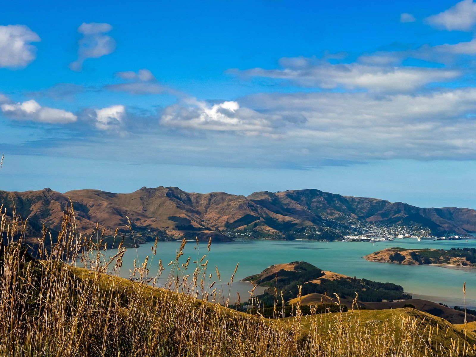
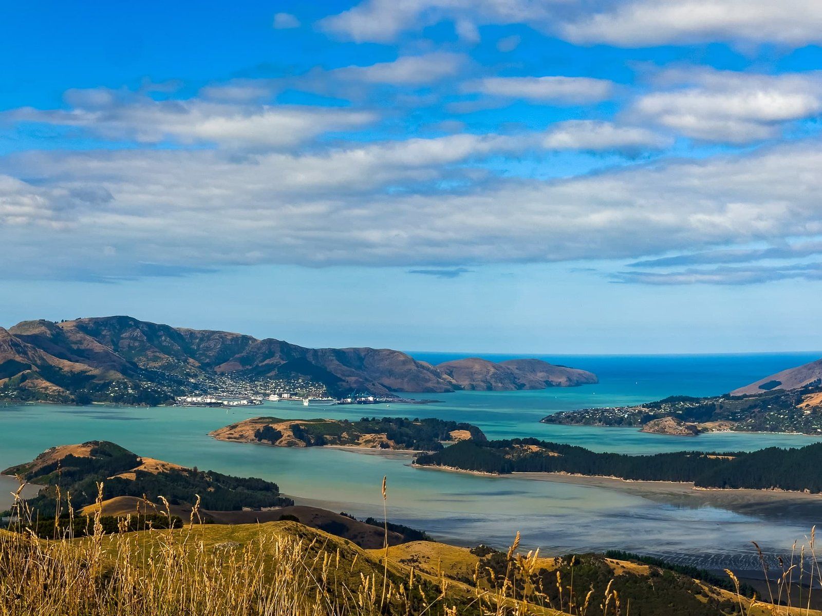
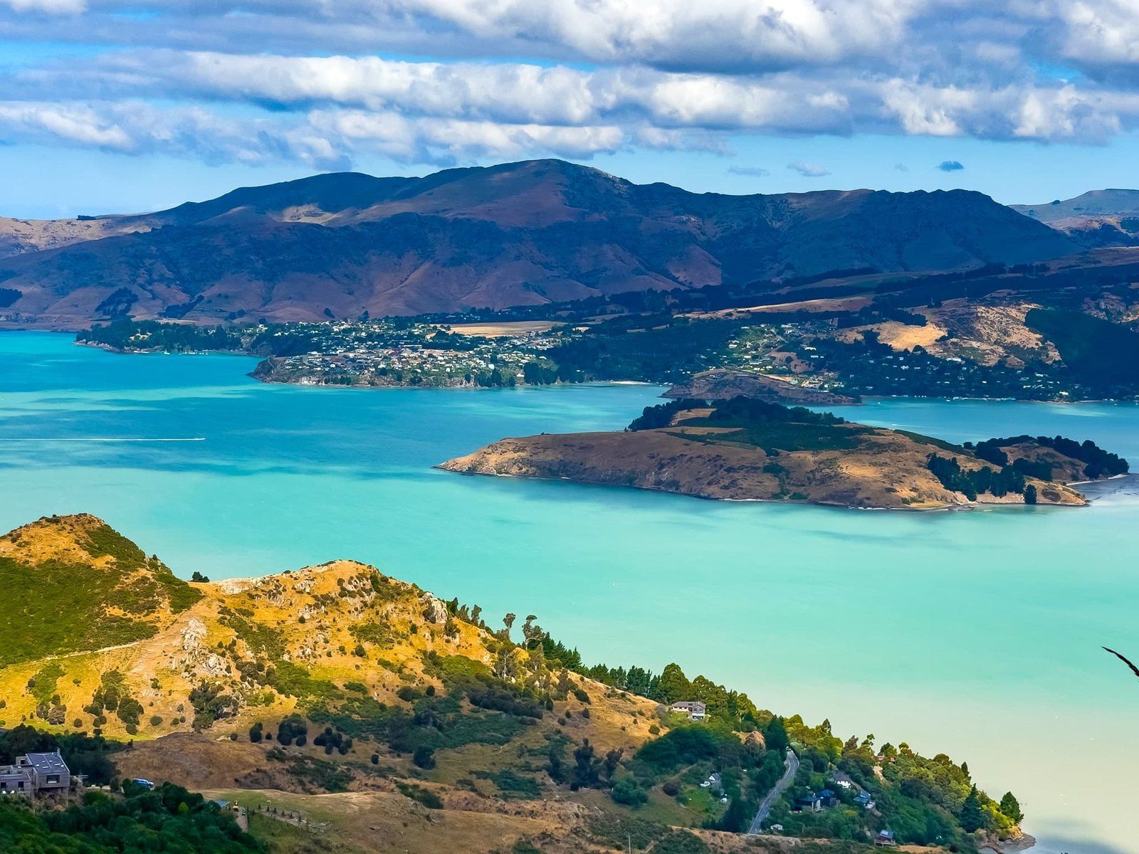
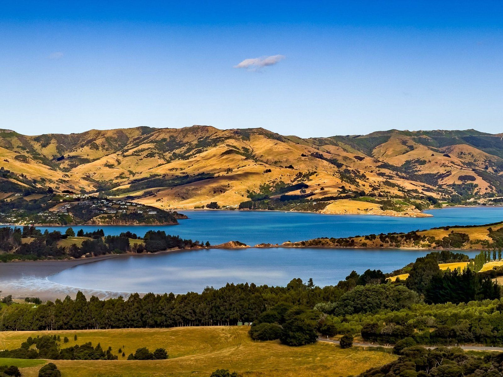
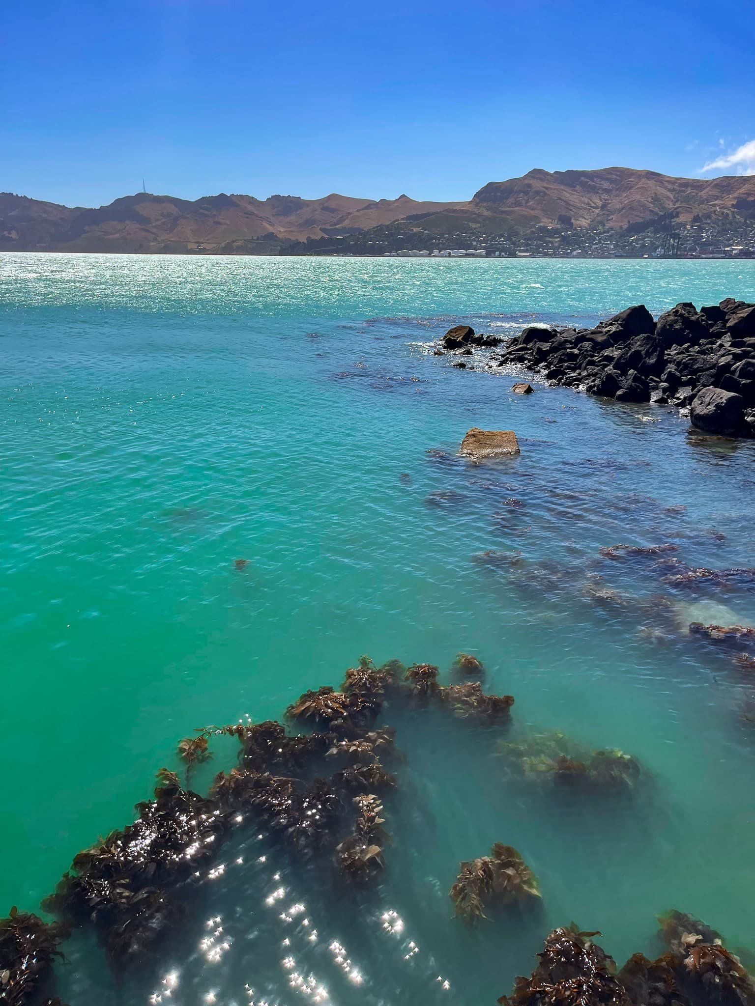
For a casual visitor to Christchurch, the Port Hills are the moderately interesting ones southeast of the city and that separate it from Banks Peninsula. It’s easy to miss them – you bypass them to the south to go to Akaroa, and go under them through the Lyttelton Tunnel to get to Lyttelton, best known for its port. In fact, the Port Hills are much more interesting than this. Lyttelton Harbour is an enormous 11 million year old volcano crater and the Port Hills are the northern rim. They are arguably one of the most interesting places to spend a couple of days on the Canterbury coast and add considerable interest to any visit to mostly flat Christchurch.
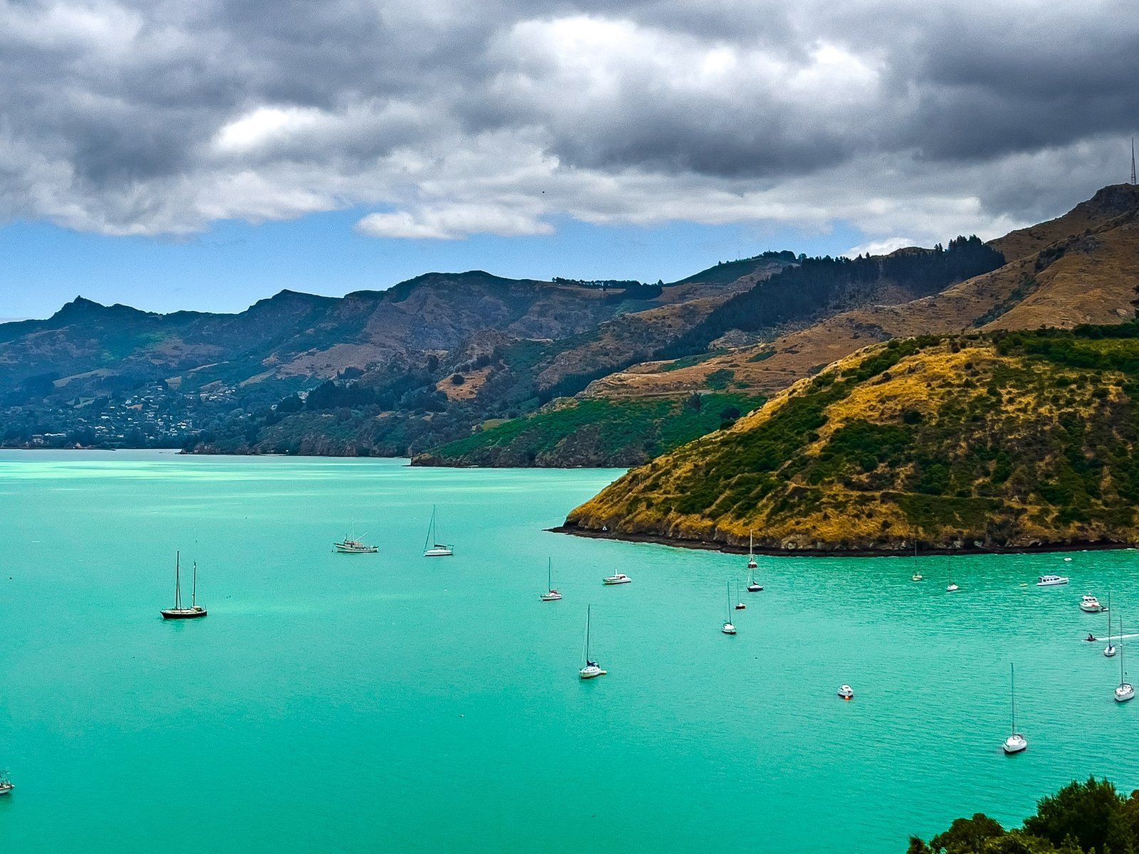
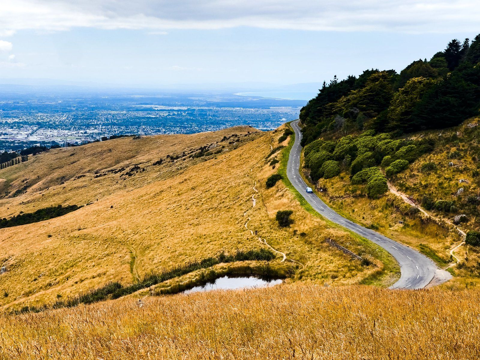
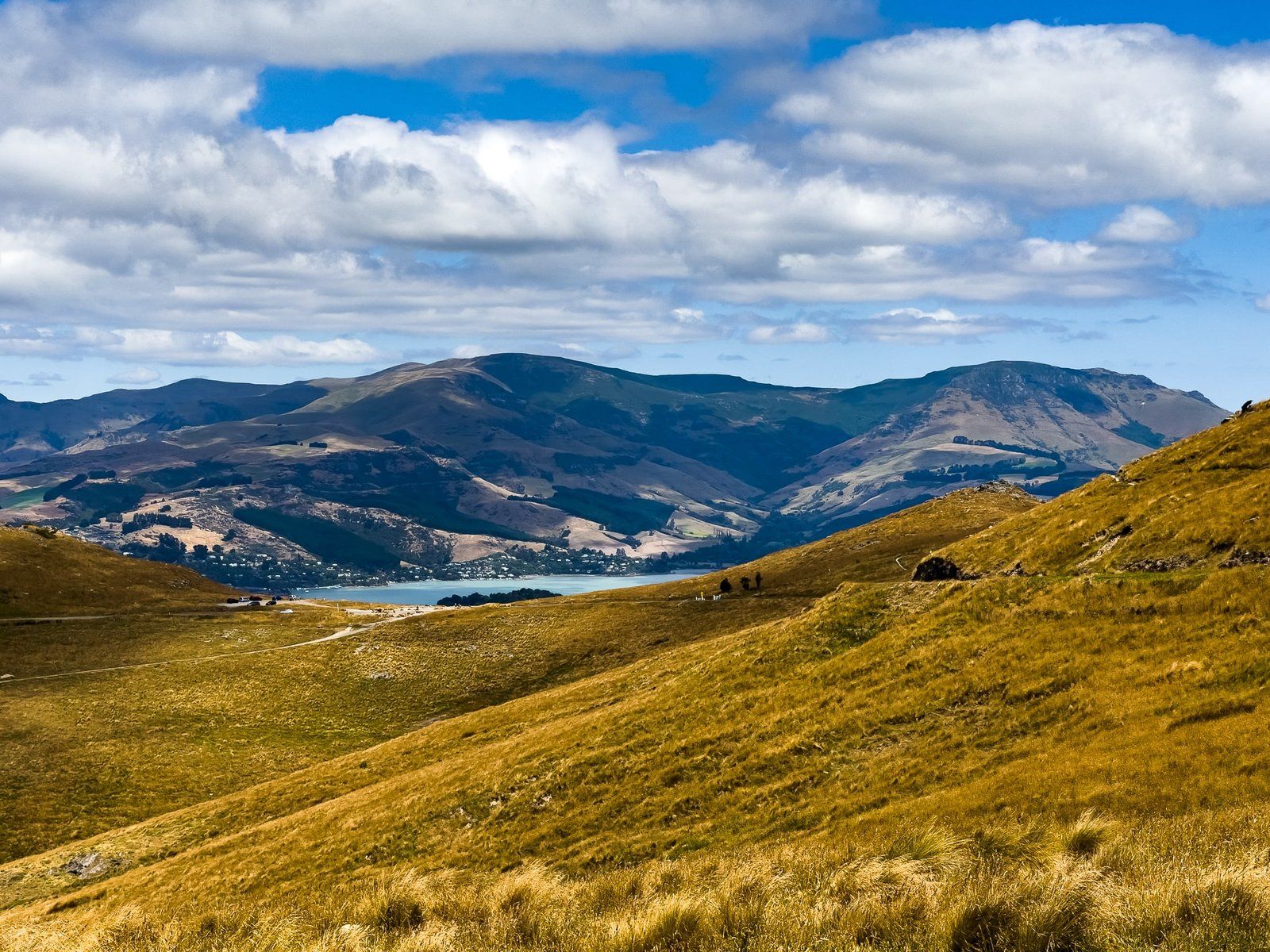
In Lyttelton, you get the first real sense of being inside an enormous crater. The pretty town is set inside a curved rocky section of the ancient rim, peaking at the 499 m high Tauhinukorokio / Mt Pleasant. From Lyttelton, you can drive southwest around the harbour through a couple of minor settlements to Governors Bay, with generally good coastal views. From there, connect with Dyers Pass Road, rising 350 metres up the face of the crater. Then connect with Summit Road at Sign of the Kiwi, not to be confused with the Summit Road that runs around the northeast side of the Akaroa crater rim.
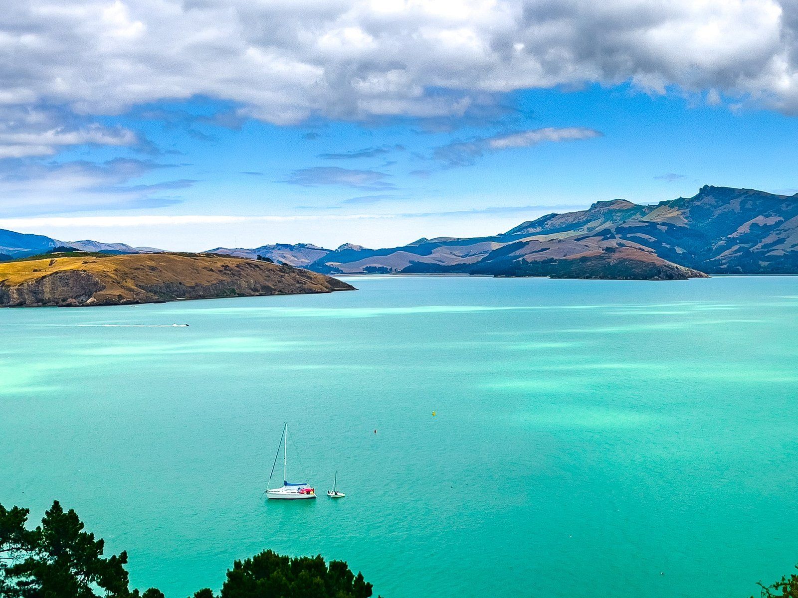
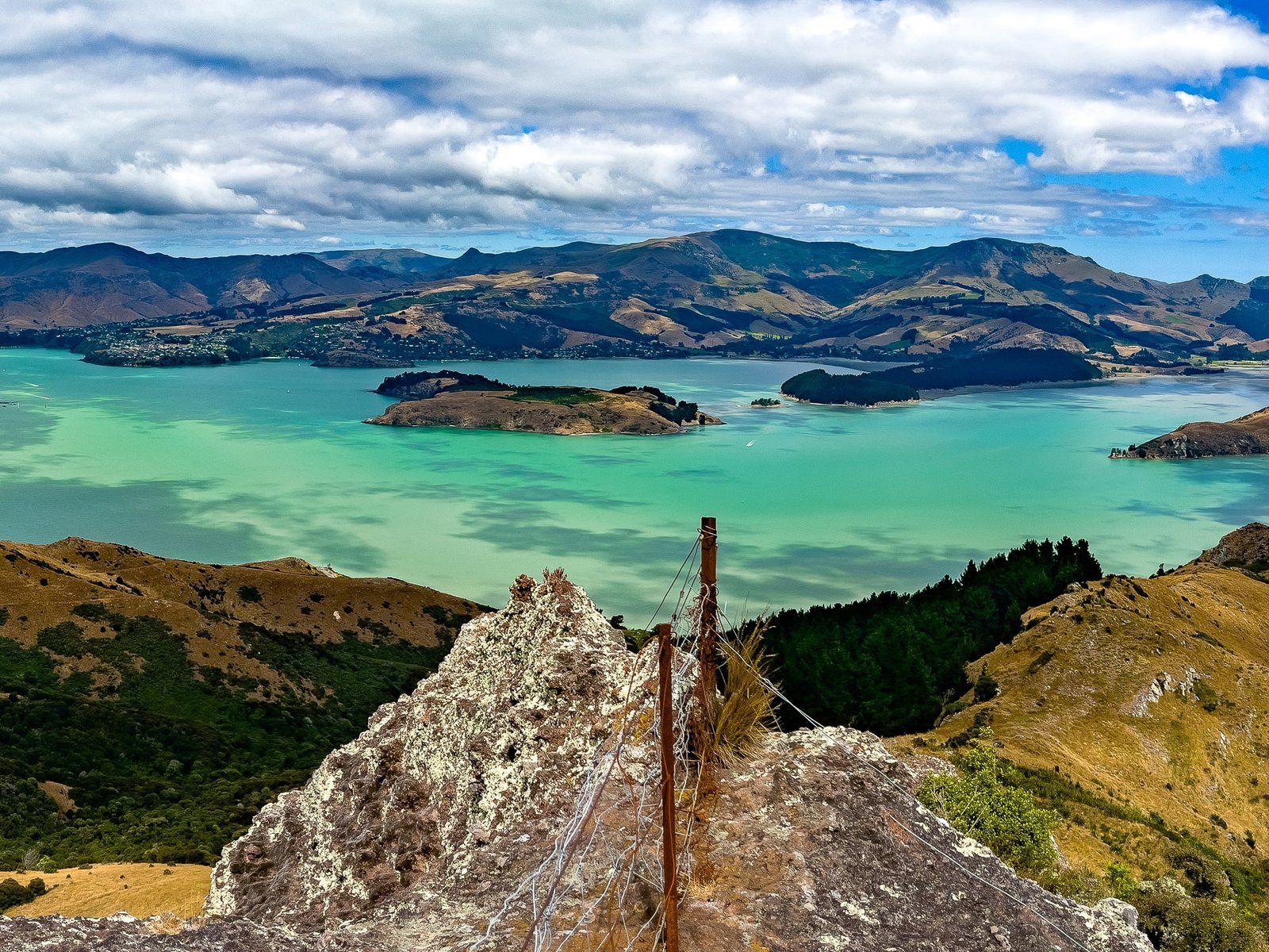
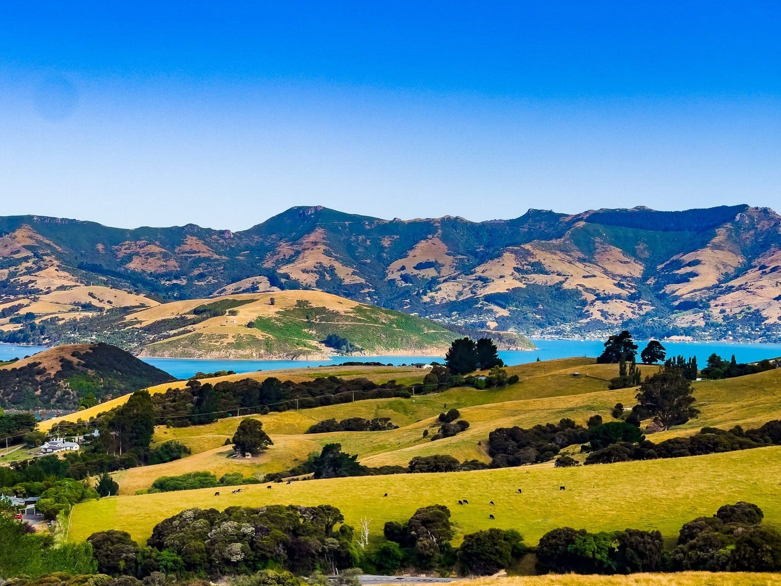
Head northeast by car along Summit Road, or hike or bike the adjacent tracks, for a series of stunning views over the harbour and Christchurch. Practically every twist, turn and rocky high point seems to have its own names, which is fun (e.g. Te Upoko-o-Kurī / Witch Hill), but it does get confusing. You may find the road blocked to cars at Upoko-o-Kurī / Witch Hill, but you can keep walking or cycling all the way back to Lyttelton.
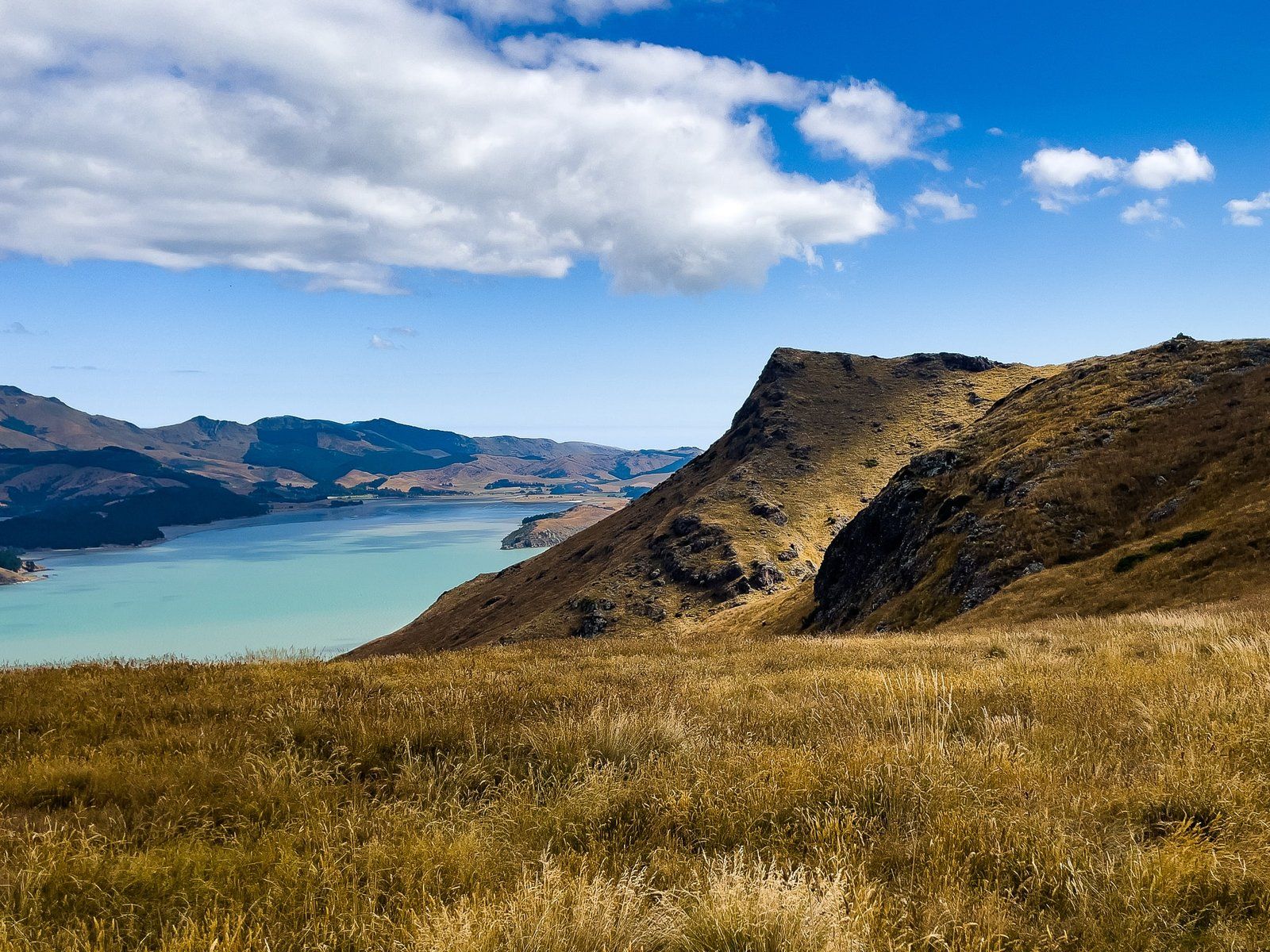
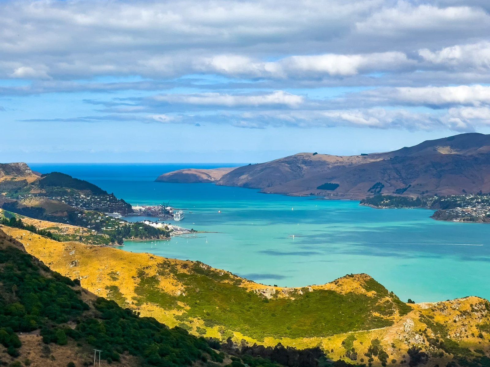
Then head around the south side of the crater rim on Summit Road from Sign of the Kiwi for more fabulous views. Take care as the track does merge with the road at Sign of the Bellbird and people seem happy to walk and cycle it, even though it’s 10 kms of windy narrow road to Gebbies Pass. From Gebbies Pass, head left to connect with Charteris Bay Road that will take you at sea level around the south to east side of the harbour/crater to Diamond Bay.
Other options include walking and cycling tracks up to and down from the crater rim, a gondola from Bridle Path Road to the top of Mt Cavendish and a ferry from Lyttelton to Diamond Bay.
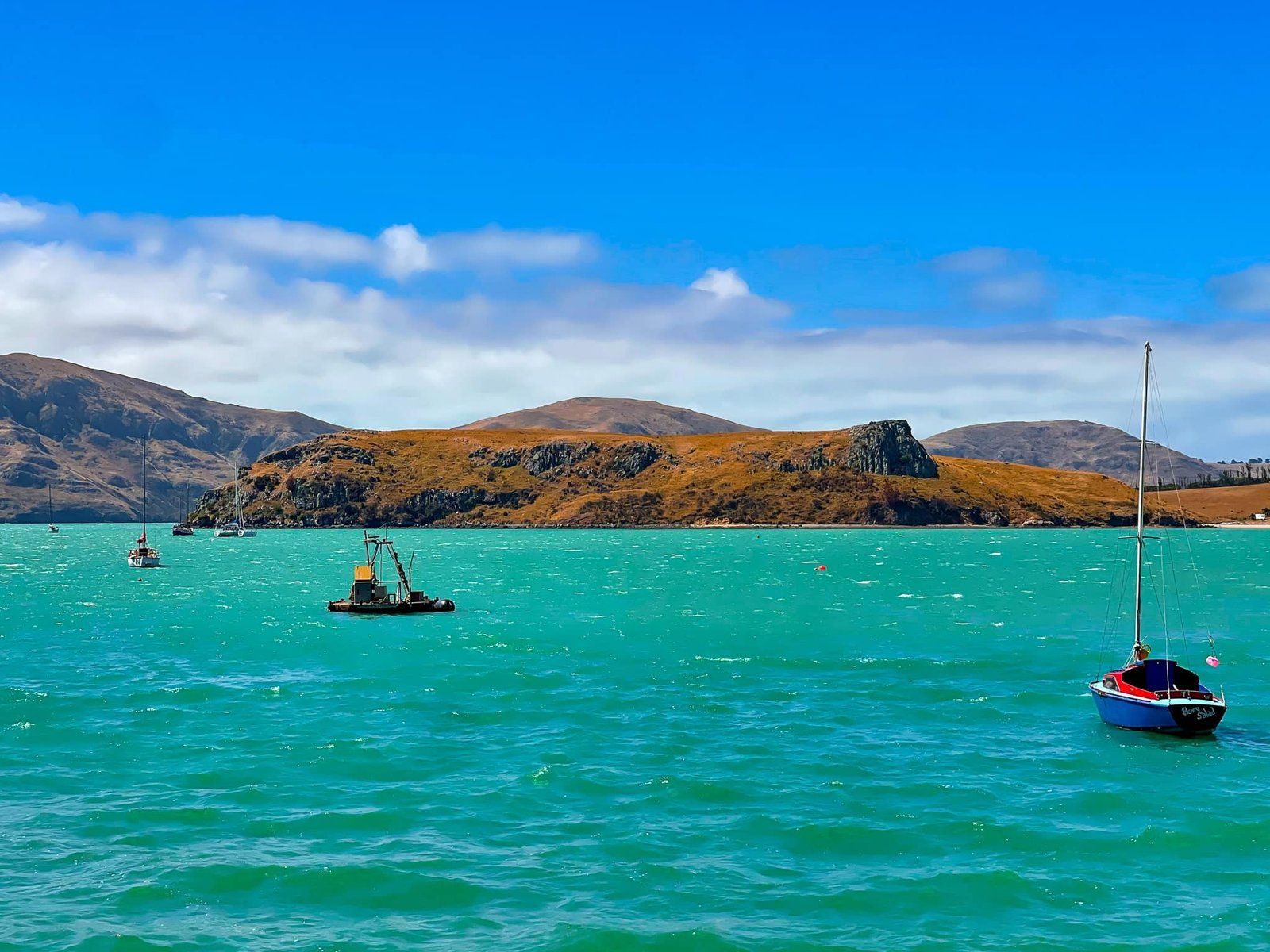
Lyttelton
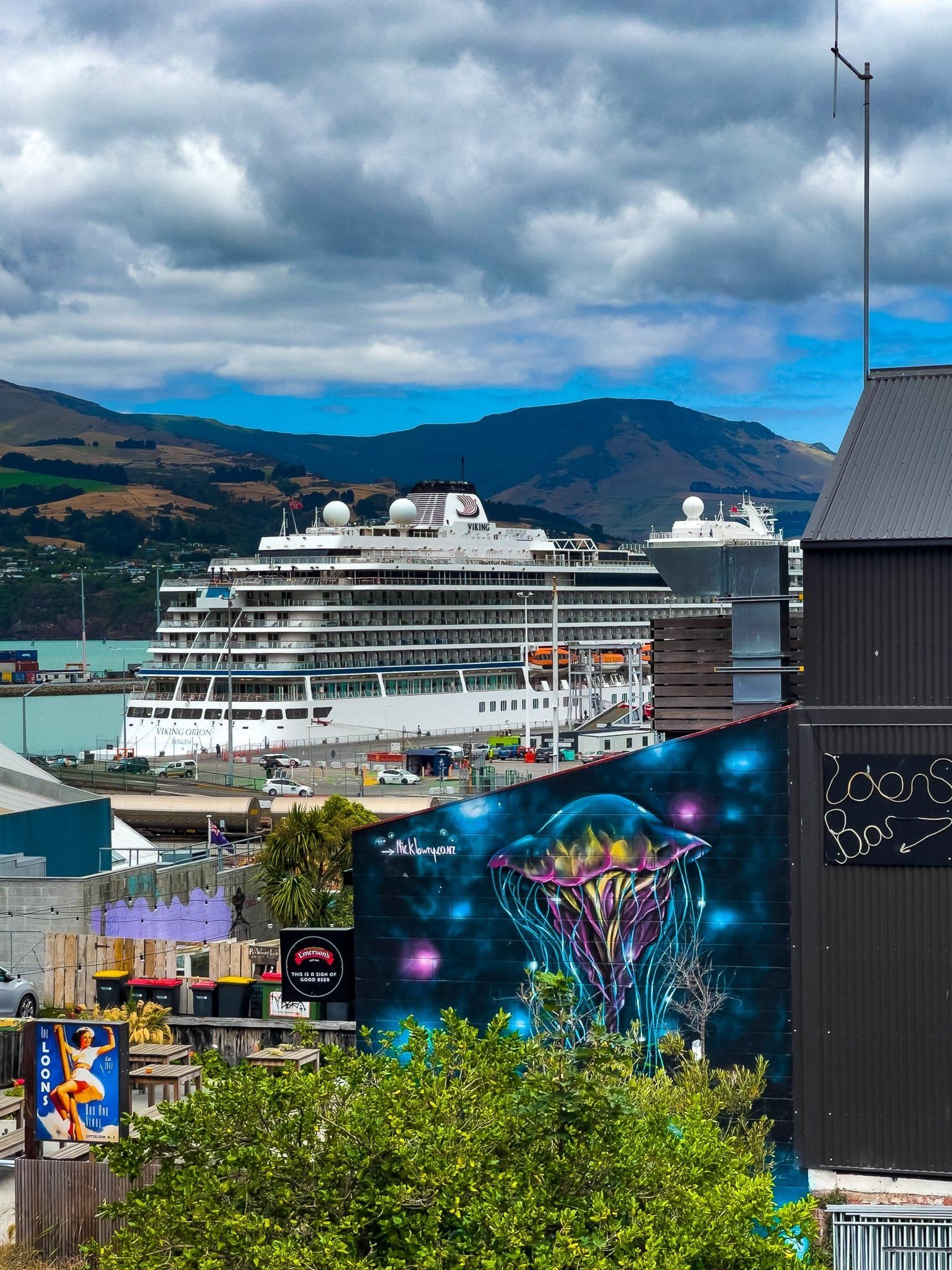
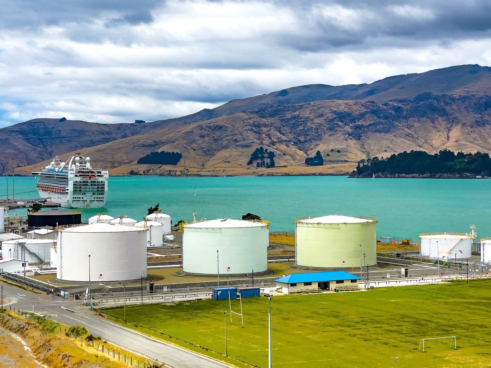
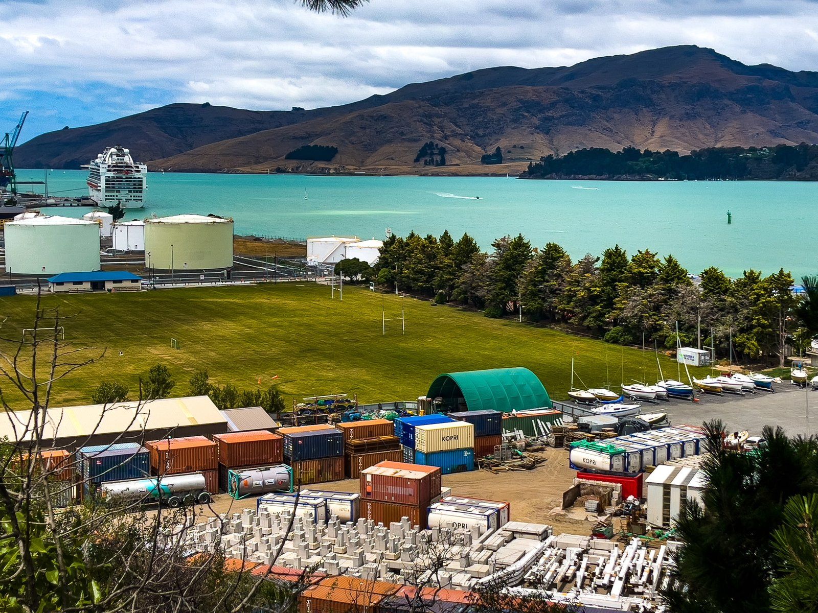
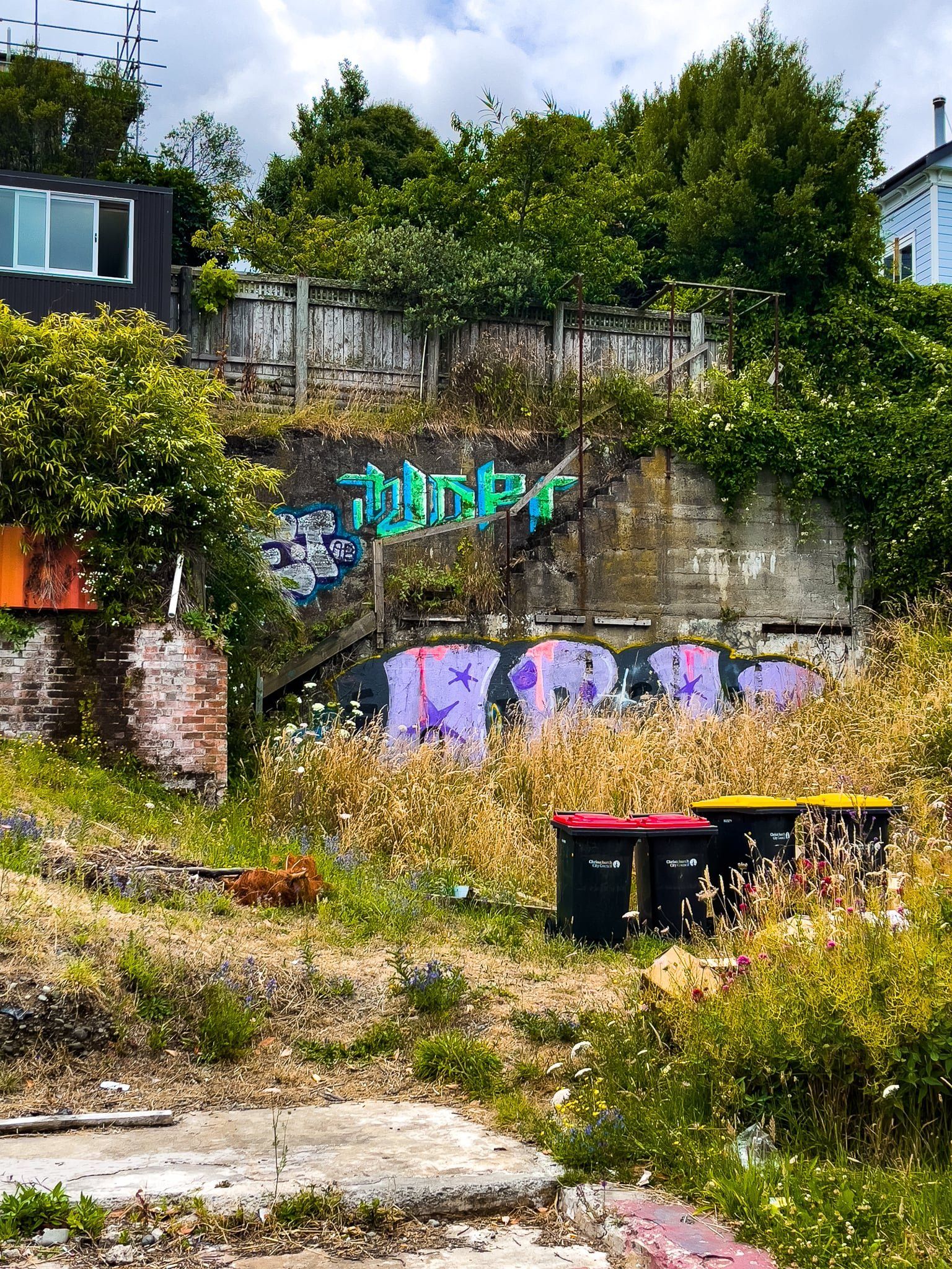
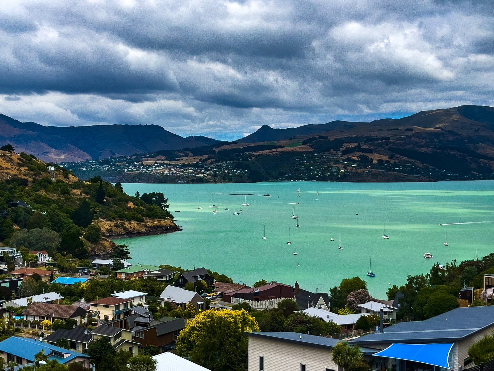
Lyttelton was the landing site for the first four English settler ships in Canterbury in 1850. The port town was established below the north rim of the Lyttelton volcano crater – the Port Hills – and Christchurch built on the north side of the crater. Settlement was specifically Anglican oriented and led by George Lyttelton, 4th Baron Lyttelton. The town had a couple of names prior to being formally named Lyttelton in 1858. At the time, local Māori had a much more interesting name, Ōhinehou which refers to a young girl (hine) who longed to go away with the fairies (patupaiarehe) and eventually got her wish.
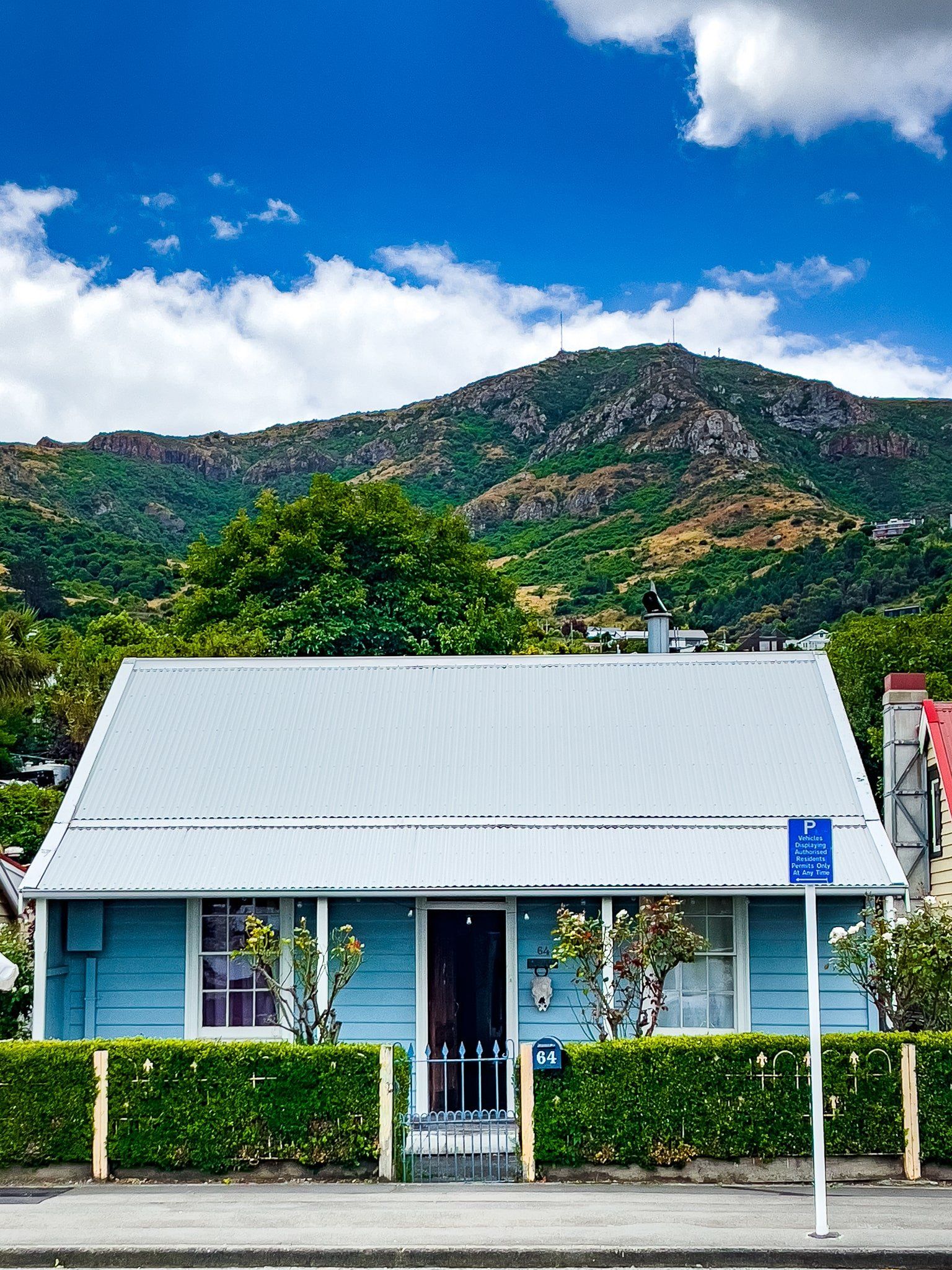
Despite being an excellent port, the town’s development was always constrained by the high crater rim. Hence, the town stayed at around 3,000 people, almost all of whom have a view to die for, and maintained much of its settlement era heritage. Sadly, it was badly damaged in the earthquakes of 2011, with the collapse and demolition of many of the town’s original buildings, including Canterbury’s oldest stone church, the Holy Trinity.
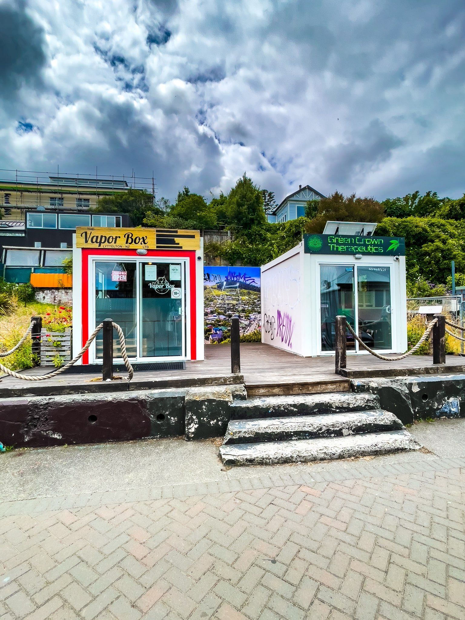
But today, this very scenic town has mostly recovered, albeit with the odd gap and pop up store in its main streets. If you like markets, aim to be there on Saturday morning, then head to one of the local cafes.
You can also hike/bike up to the top of the crater rim on the Bridle Track which led the first European settlers over the Port Hills to Christchurch or on the Major Hornbrook Track to Mt Cavendish. These start from Bridle Path Road and Ross Terrace respectively and only take about an hour return each, with a 200 metre climb. Alternatively, you can do them as a two hour loop.
Governors Bay
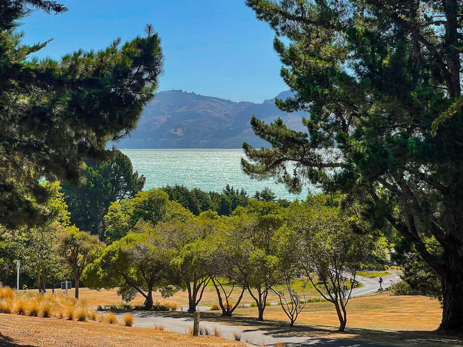
Governors Bay Road takes you southwest of Lyttelton, well below the Port Hills / crater summit but still around 40 to 80 metres above the harbour. You can walk, drive or cycle the road, with several places to stop to admire the view.
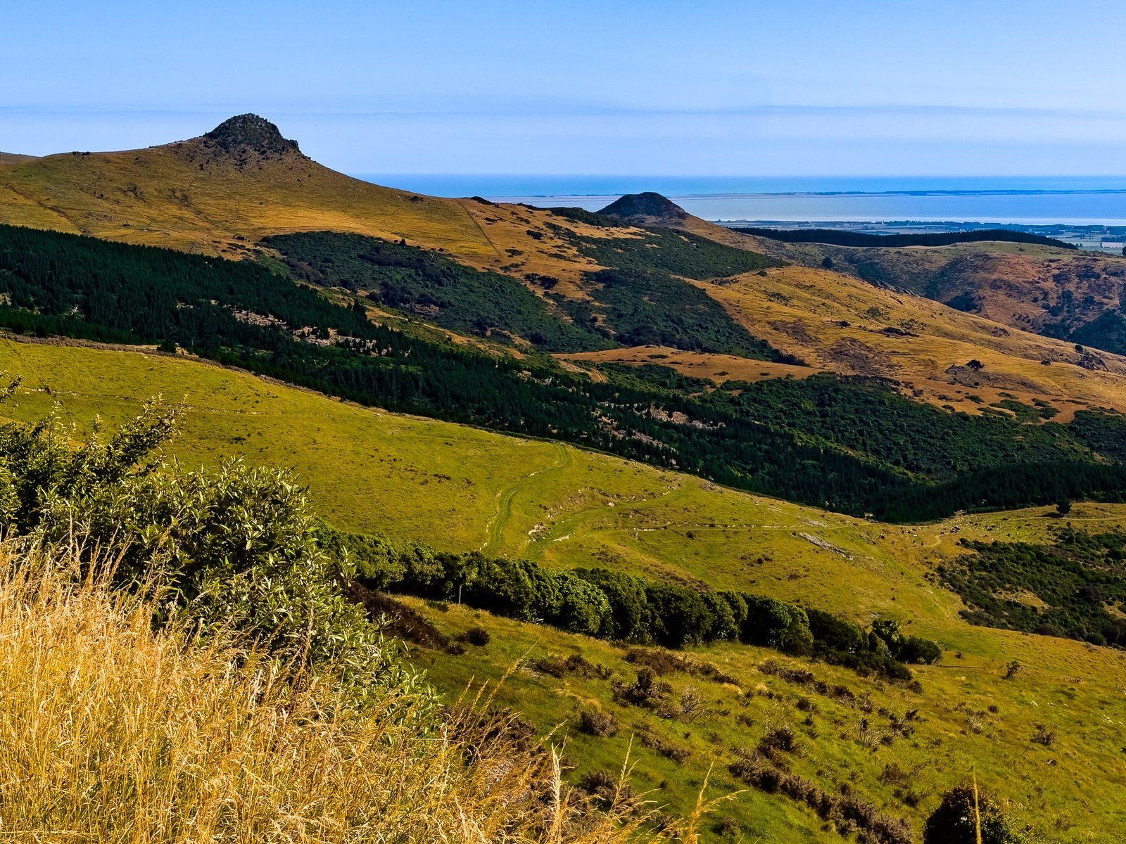
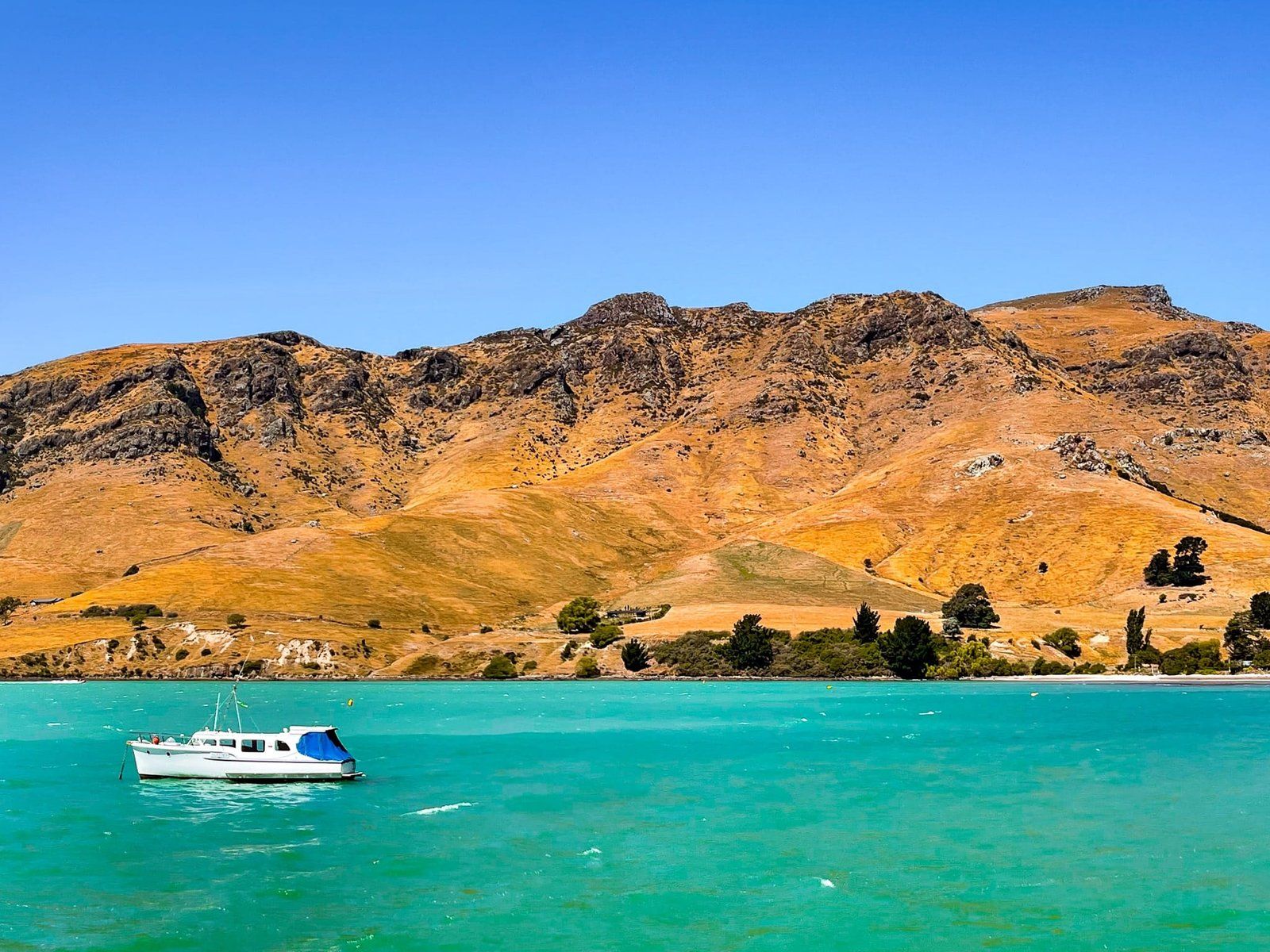
The small settlement of Governors Bay has a safe beach, a cafe or two, and is popular with boaties. It sits below Sign of the Kiwi, with Marleys Hill (502 metres) to the left and Te Heru o Kahukura / Sugarloaf (499 metres) to the right. From the hamlet, turn right from the coast road onto Dyers Pass Road to climb up to Summit Road.
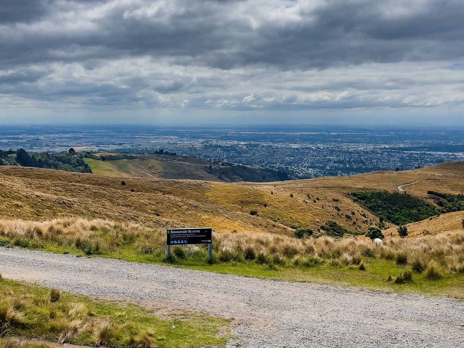
Bowenvale
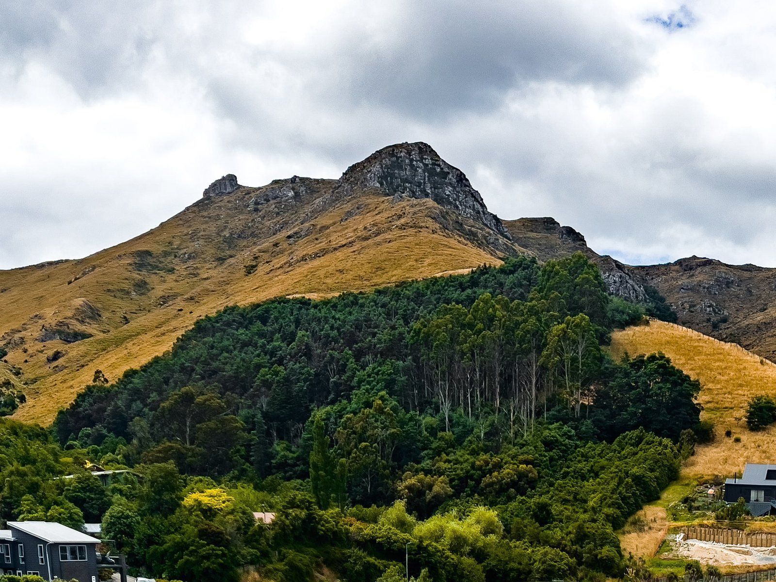
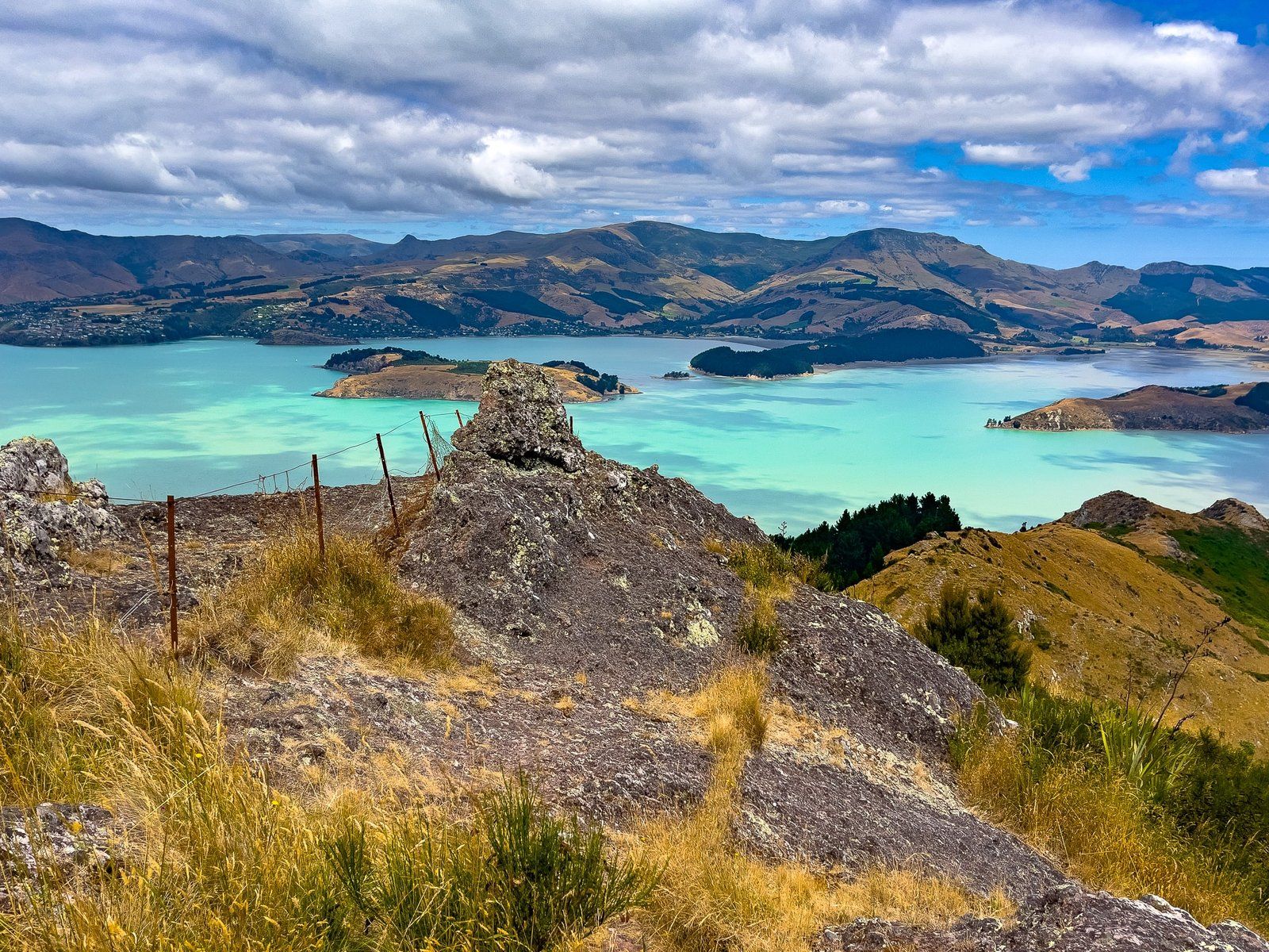
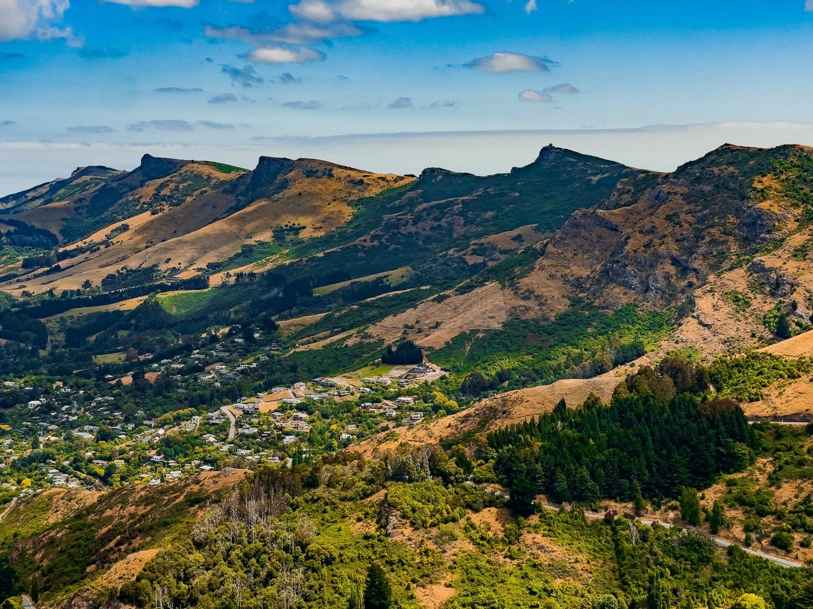
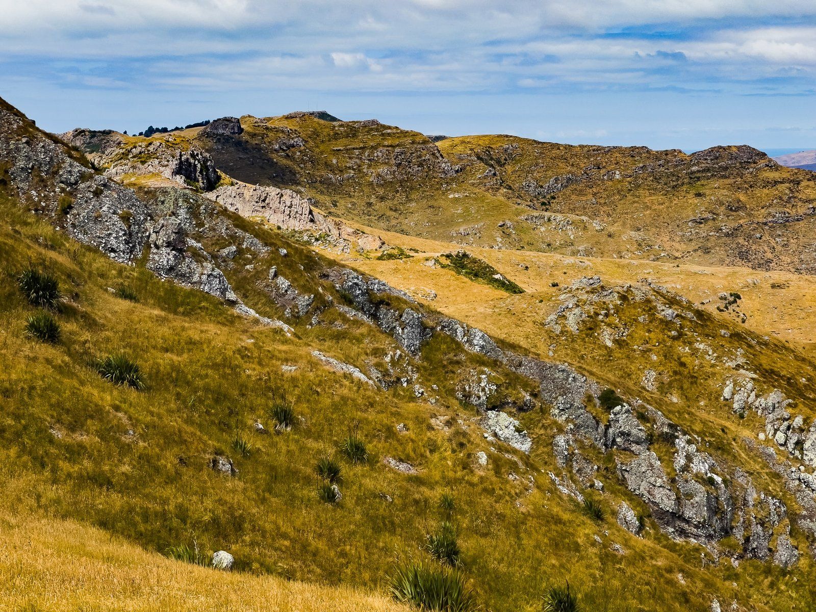
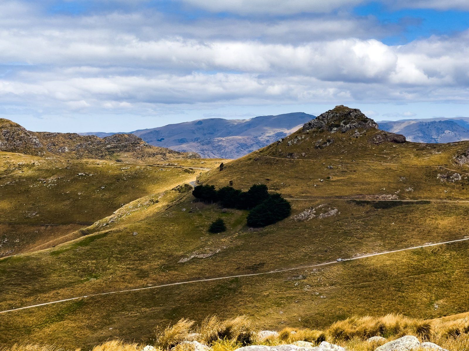
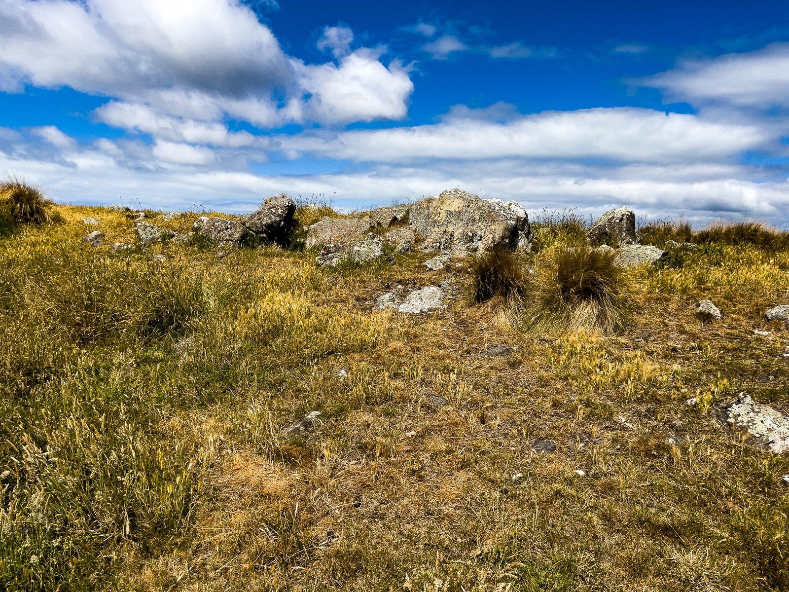
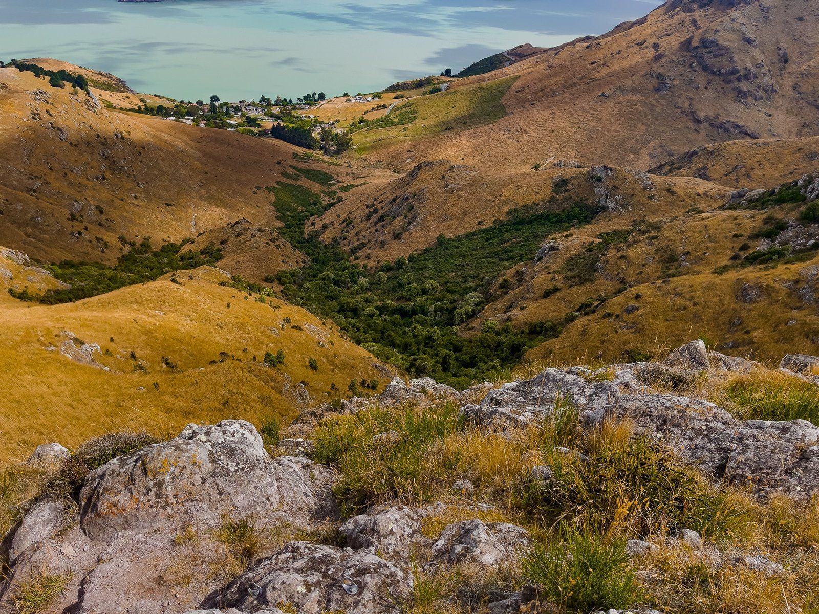
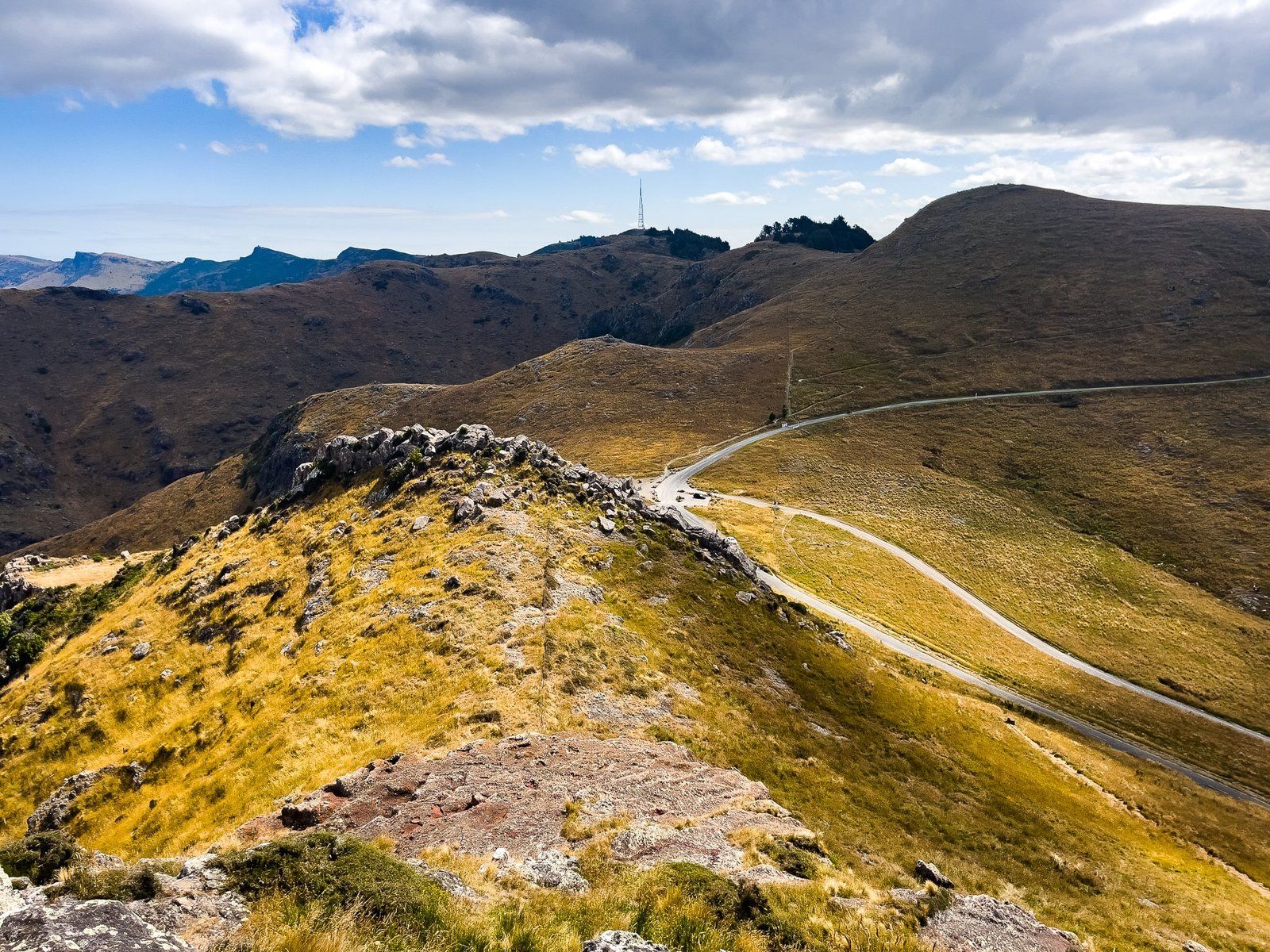
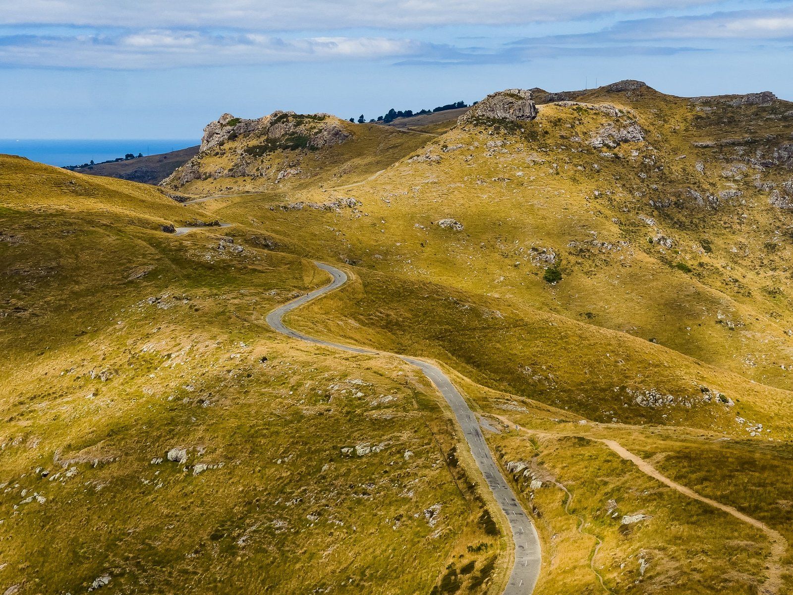
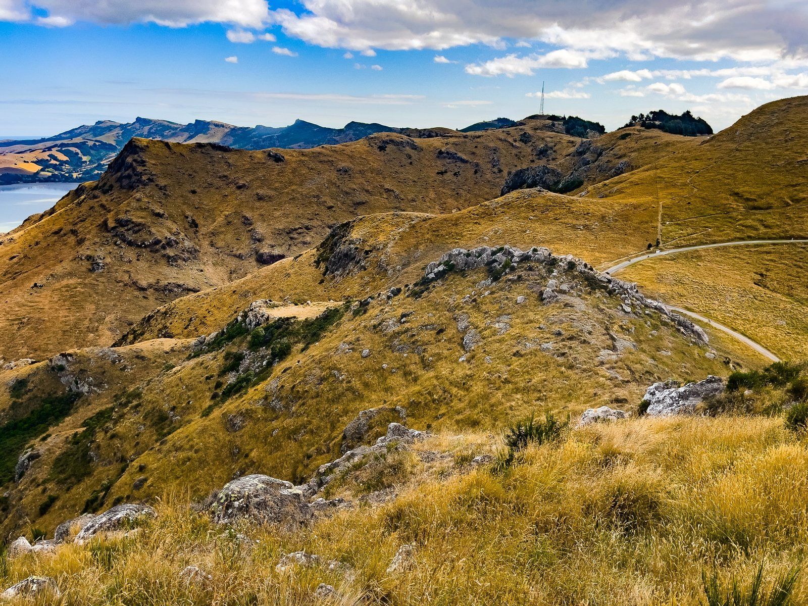
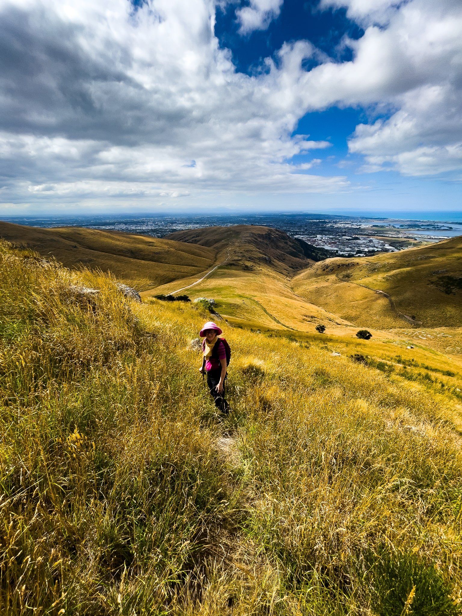
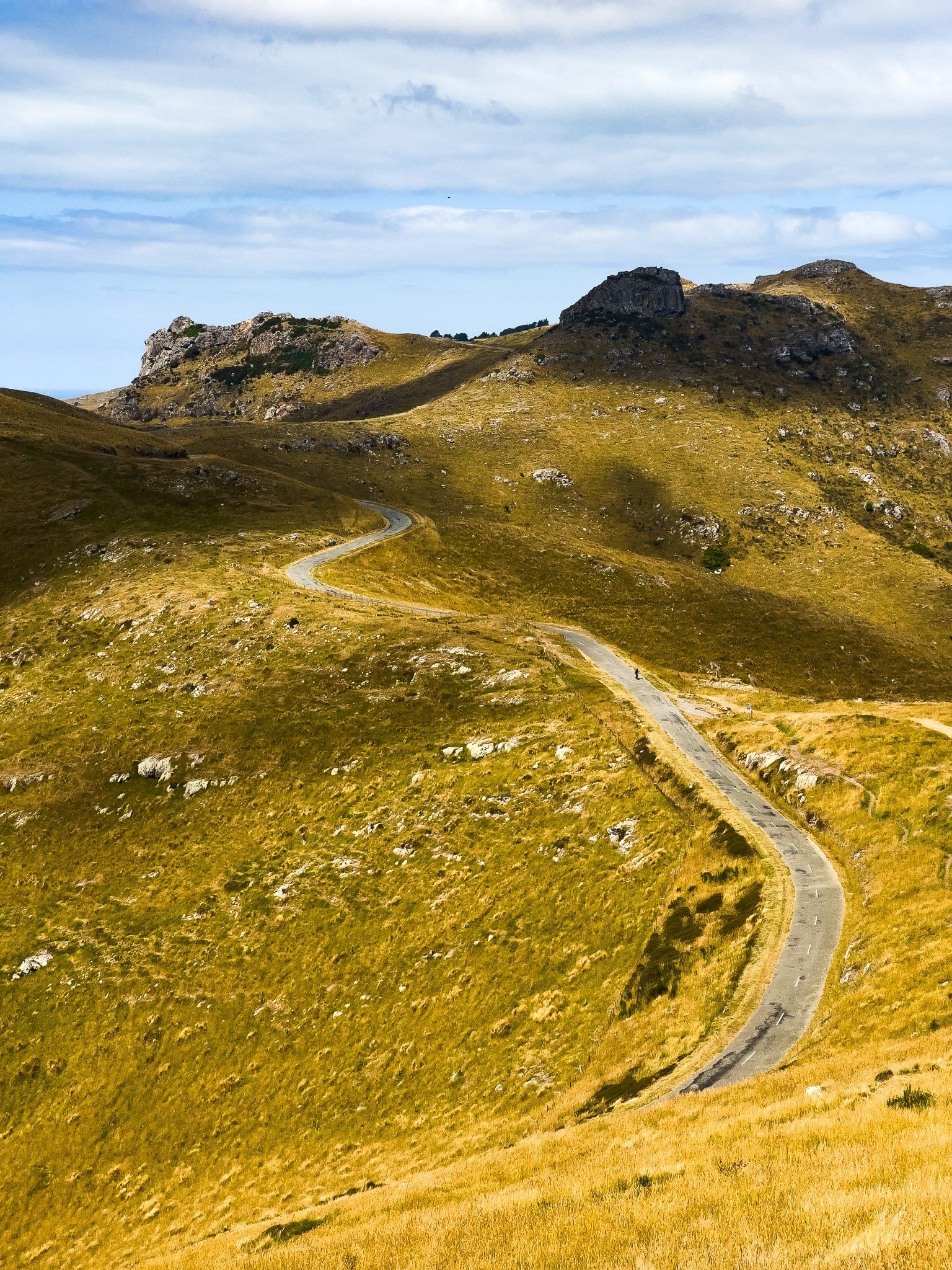
The first time you drive up onto Summit Road at Sign of the Kiwi is breathtaking – over 400 metres above Lyttelton Harbour and Christchurch. But it also becomes a question of which of the many options to do next, with multiple tracks, viewpoints, reserves, and rocky peaks, all with a name (or two) and linked by various tracks.
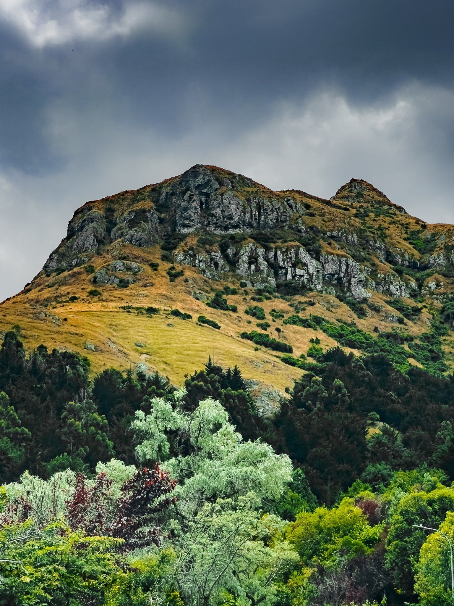
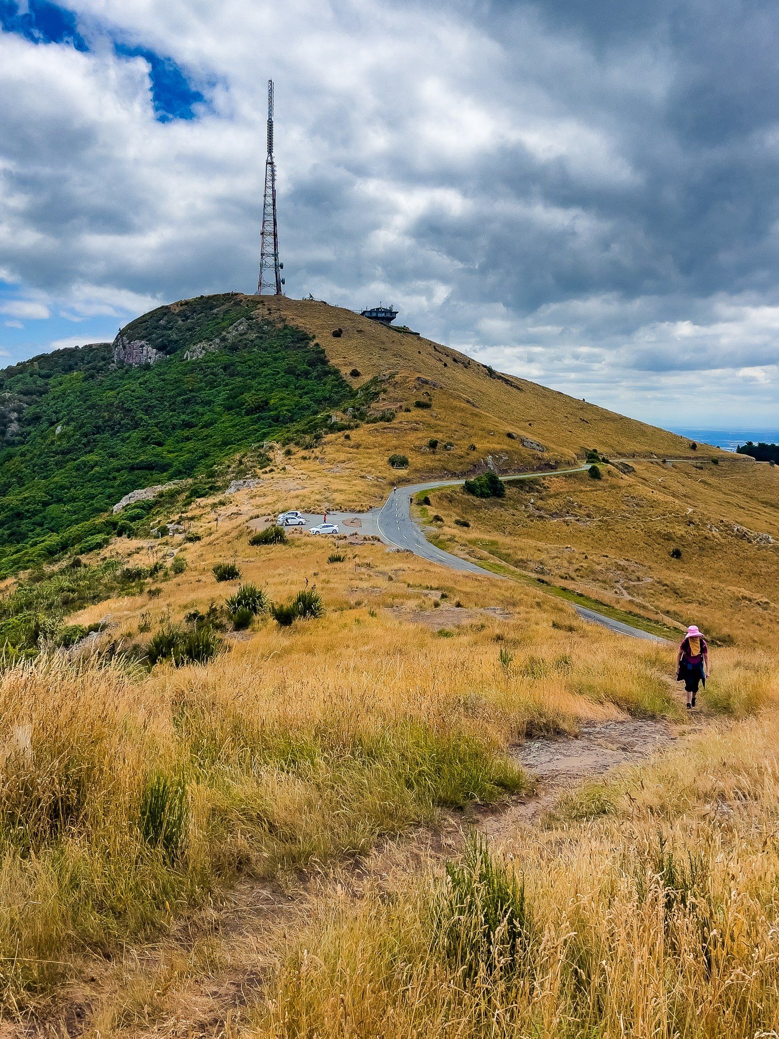
We turned right onto Summit Road to follow the crater rim north towards Lyttelton and stopped at the first Bowenvale car park, above the Thomson Scenic Reserve, to the north of Te Heru o Kahukura / Sugarloaf. From there, you can follow the main track south along the side of Heru o Kahukura / Sugarloaf, which has a large transmitting tower on top. But it was more interesting to follow an informal track north then east onto a rocky point, possibly named Taukahara on Topo Map NZ. From here, the cliff-edge view and the “head” formed by one of the rocky outcrops were superb.
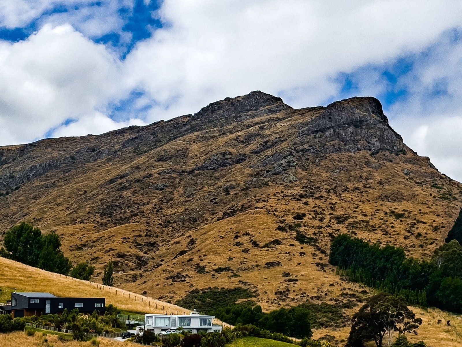
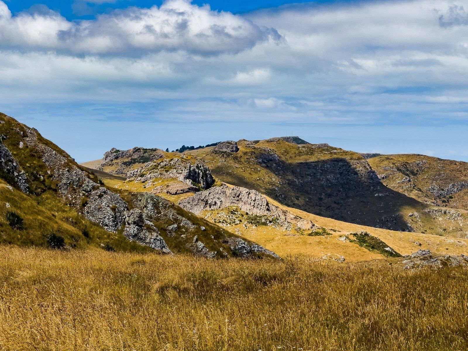
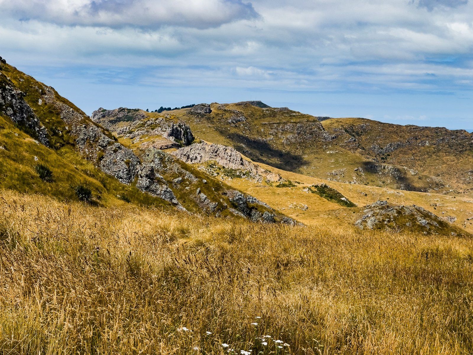
Mt Vernon
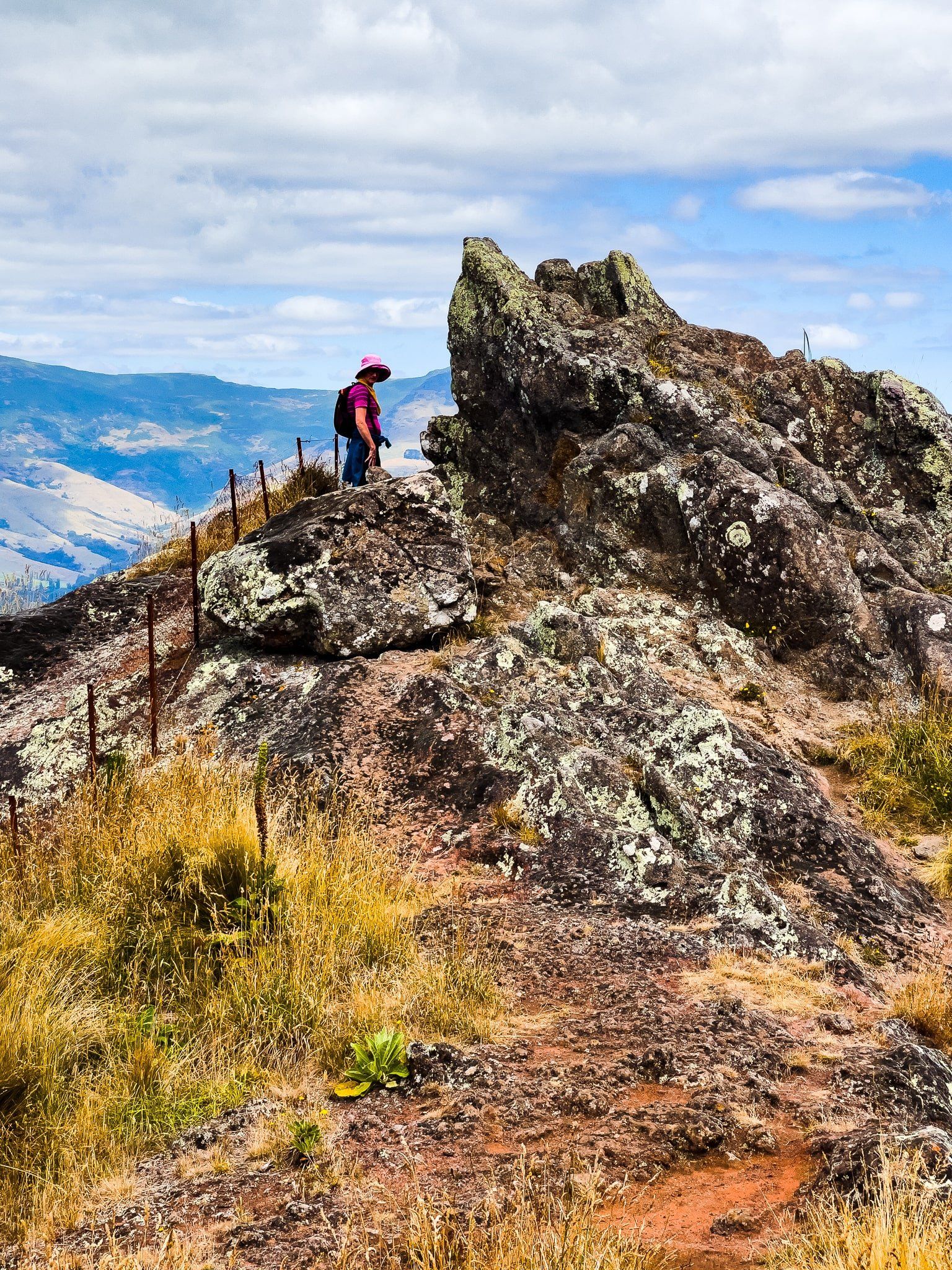
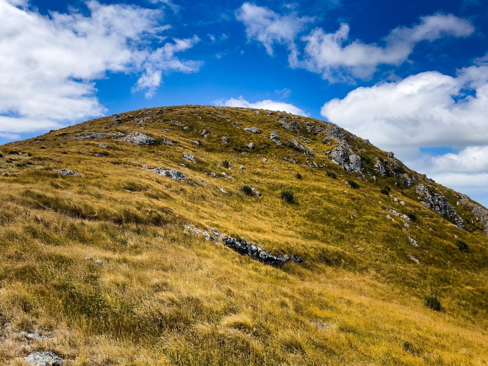
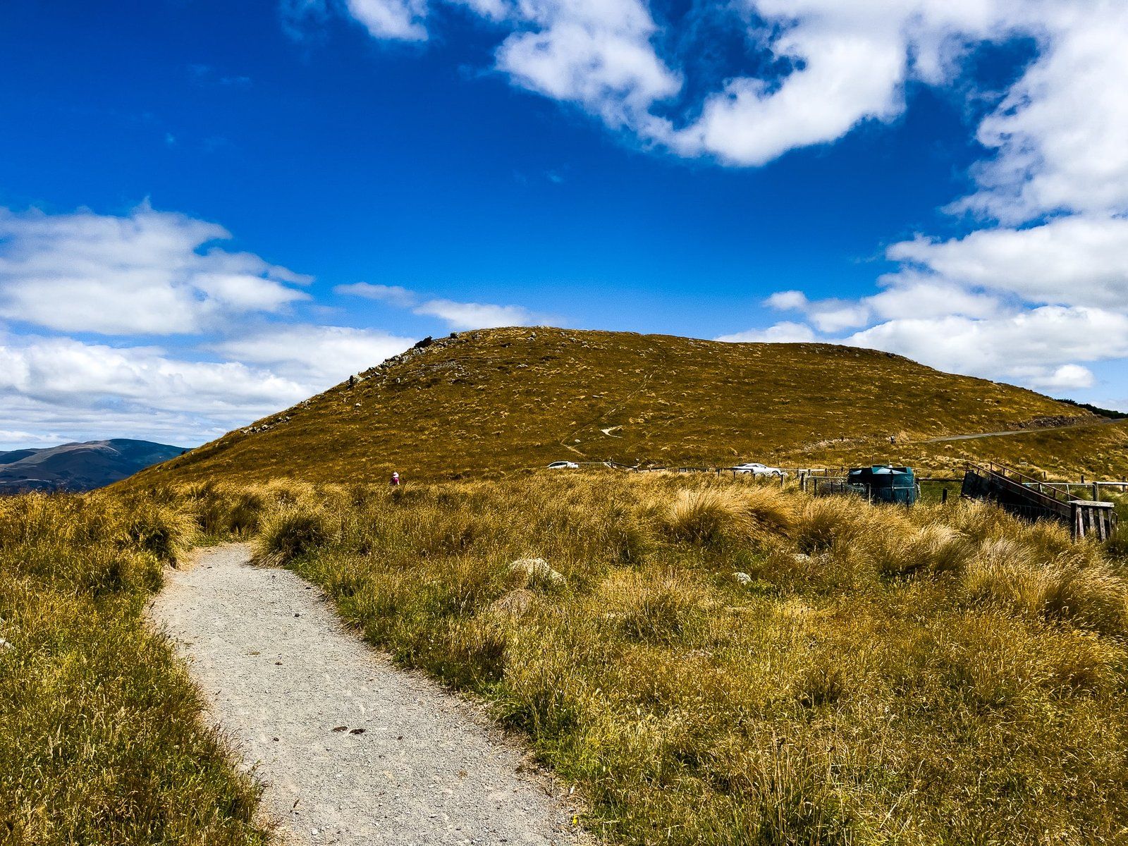
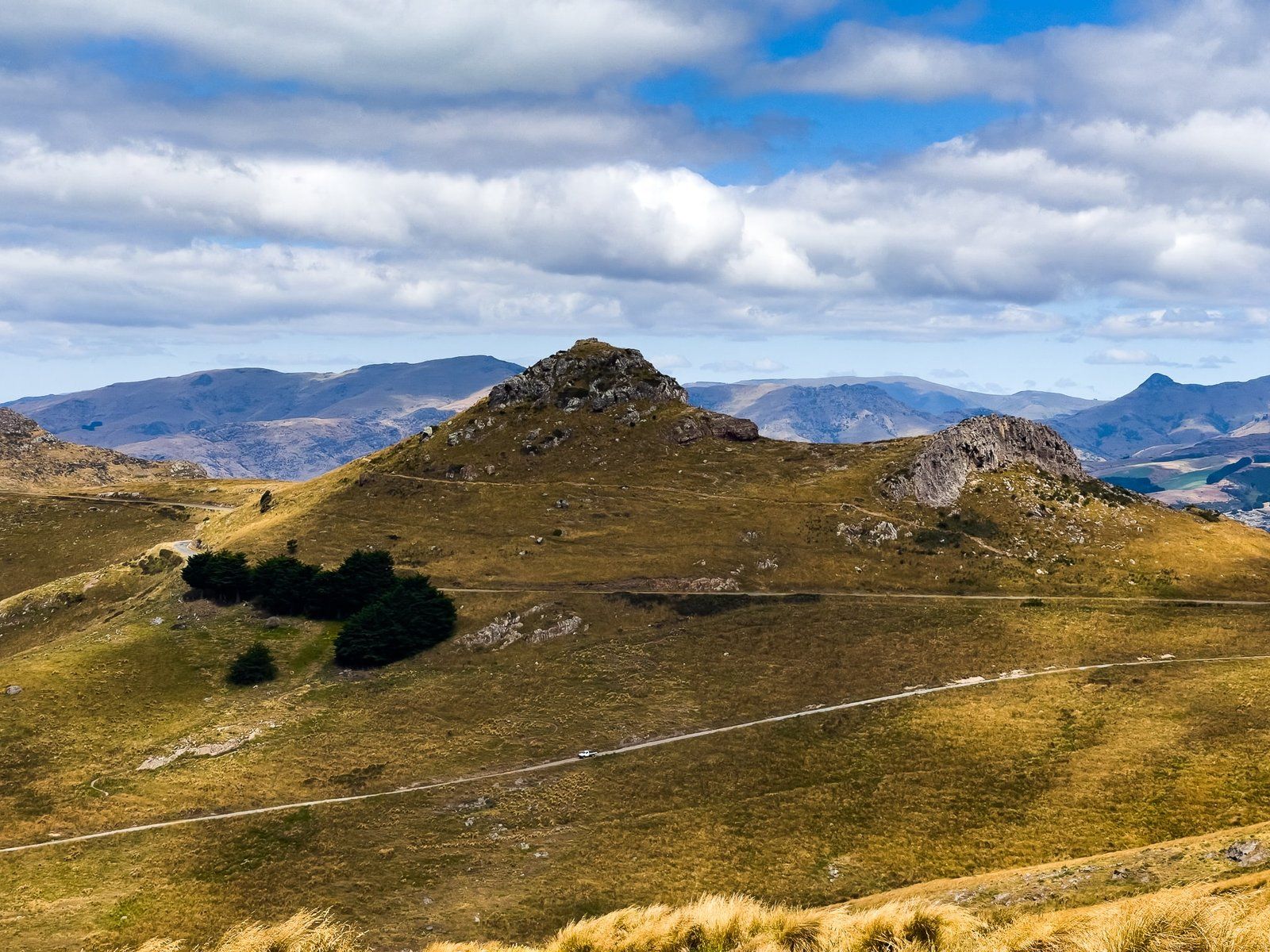
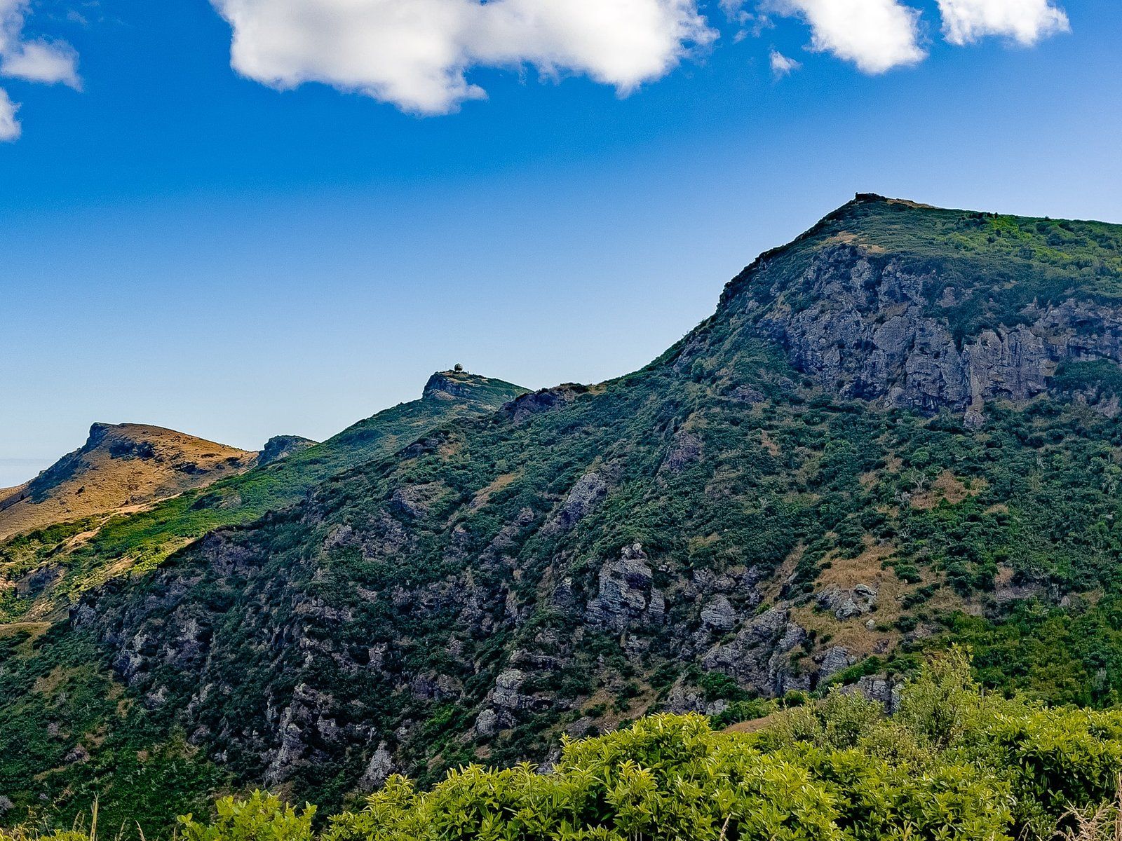
Continuing on from Te Heru o Kahukura / Sugarloaf / Bowenvale / Thomson Reserve / Taukahara (we rest our case on the excessive naming activity on the crater summit!), we stopped below Mt Vernon. Another carpark after 1.5 kms offered another great viewpoint and from there you can follow an informal track up 60 metres to the top of Mt Vernon. However, we were set on climbing Upoko-o-Kurī / Witch Hill, mainly because it had a rockier peak and more interesting name.
Lamar Track
The Lamar Track distracted us on our short drive from the Mt Vernon car park to Upoko-o-Kurī / Witch Hill. This short track is not on Topo Map NZ, but is well signposted on the road with a parking area directly north of the Mt Vernon peak.
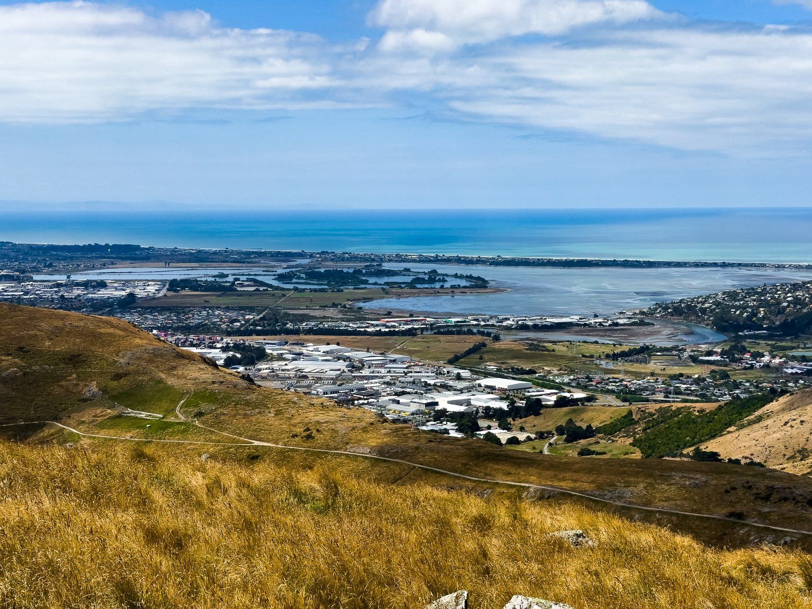
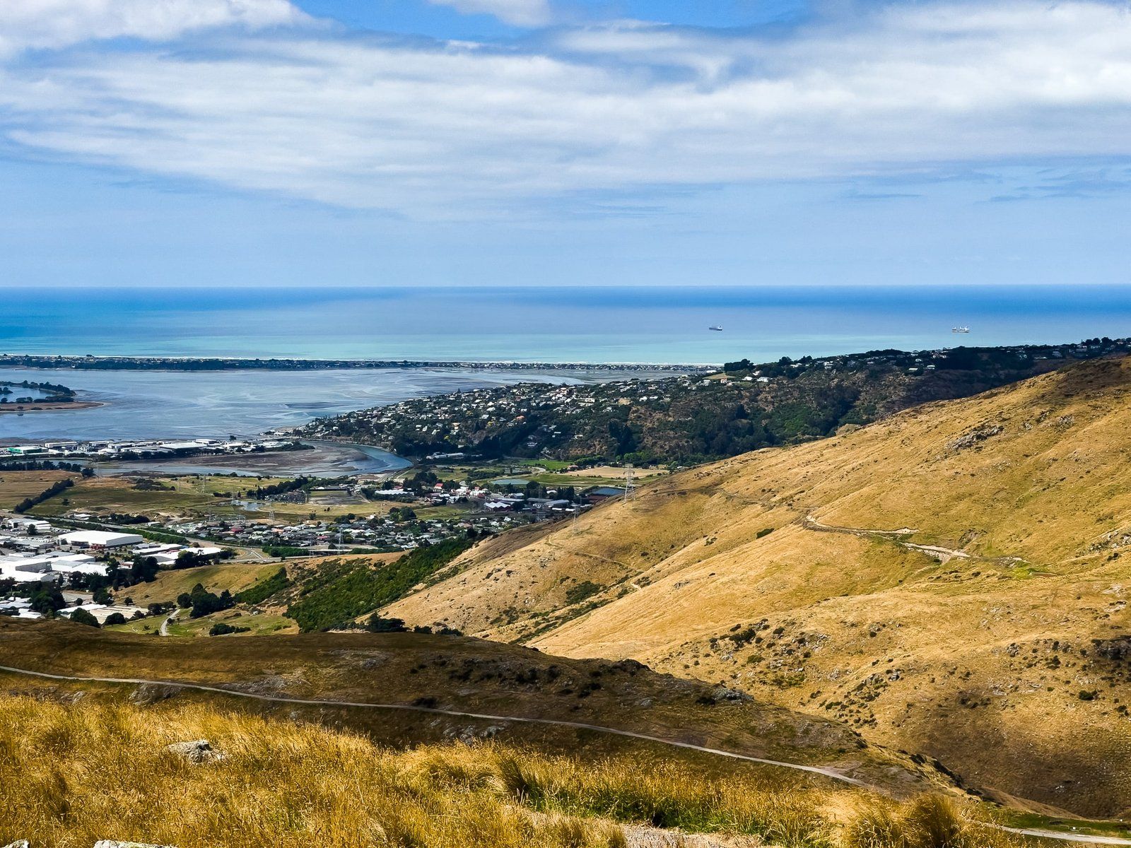
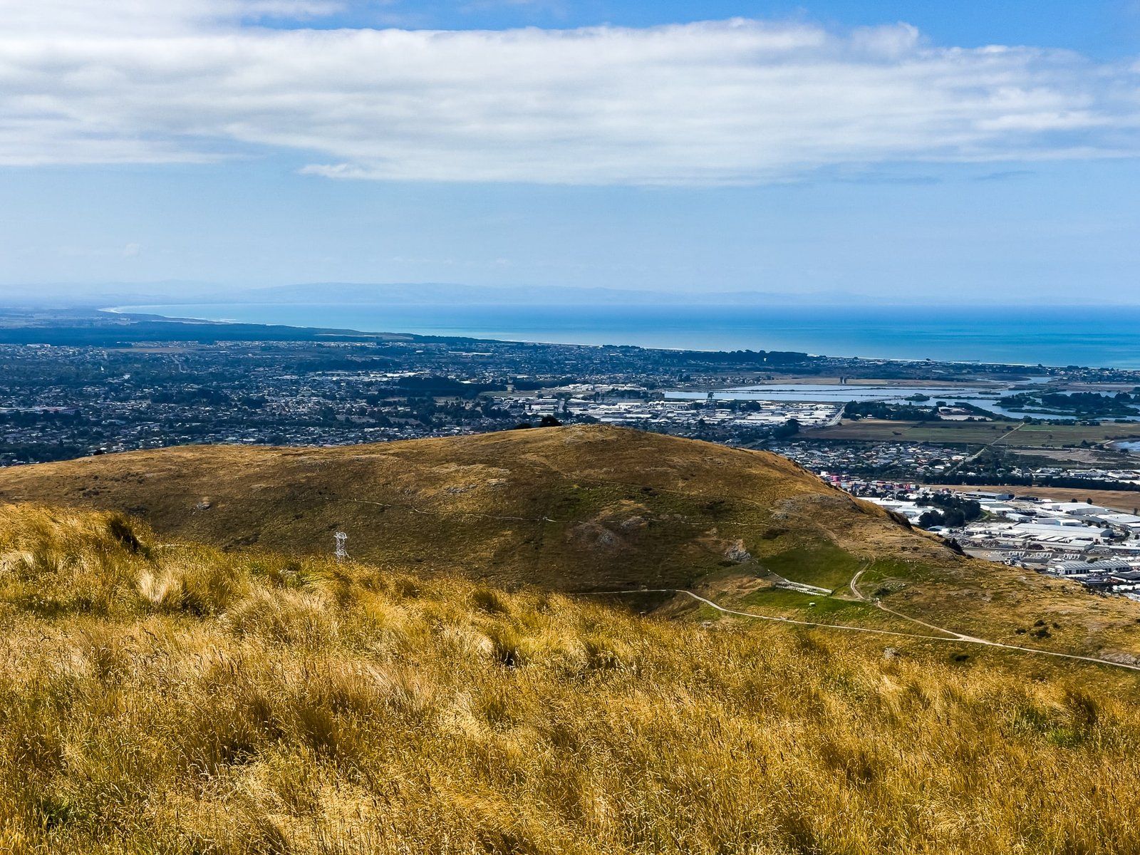
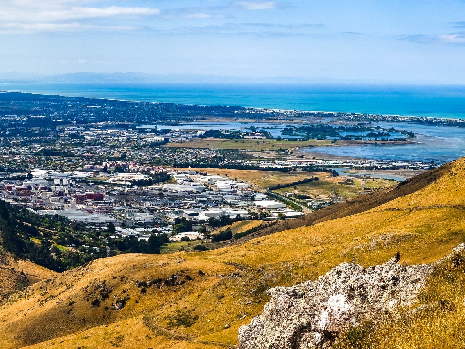
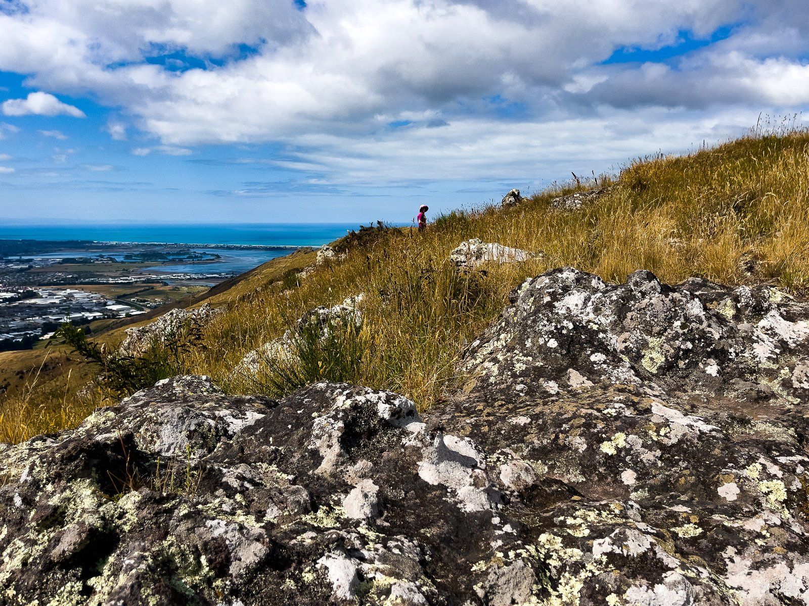
It is short and easy and was specifically designed to provide easy access to less able visitors to a fabulous view overlooking the east side of Christchurch and the Estuary of the Heathcote and Avon Rivers / Ihutai.
It also links with the Farm Track, which is one of several shared walking and cycling tracks that connect the Port Hills / crater rim with Christchurch.
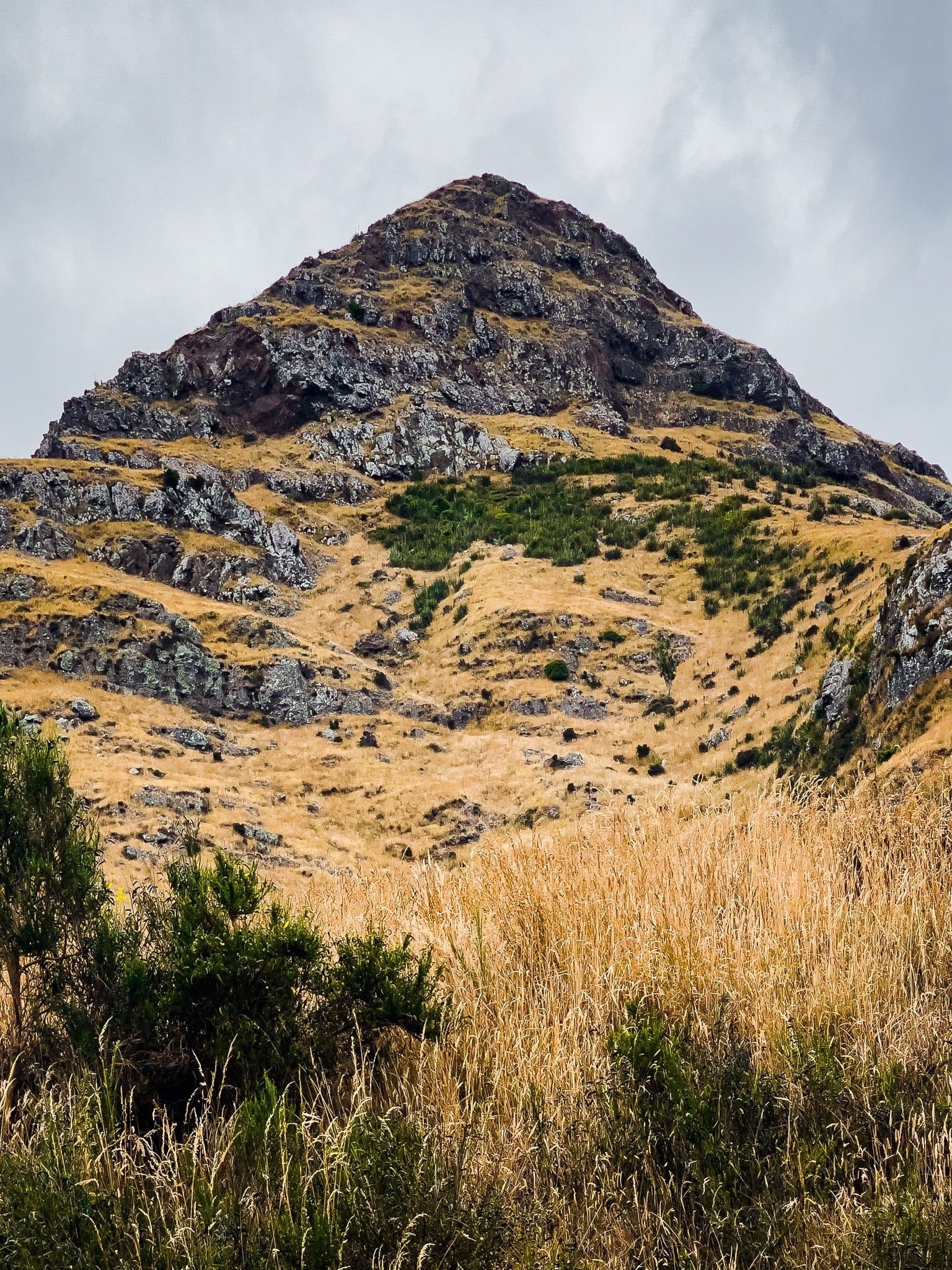
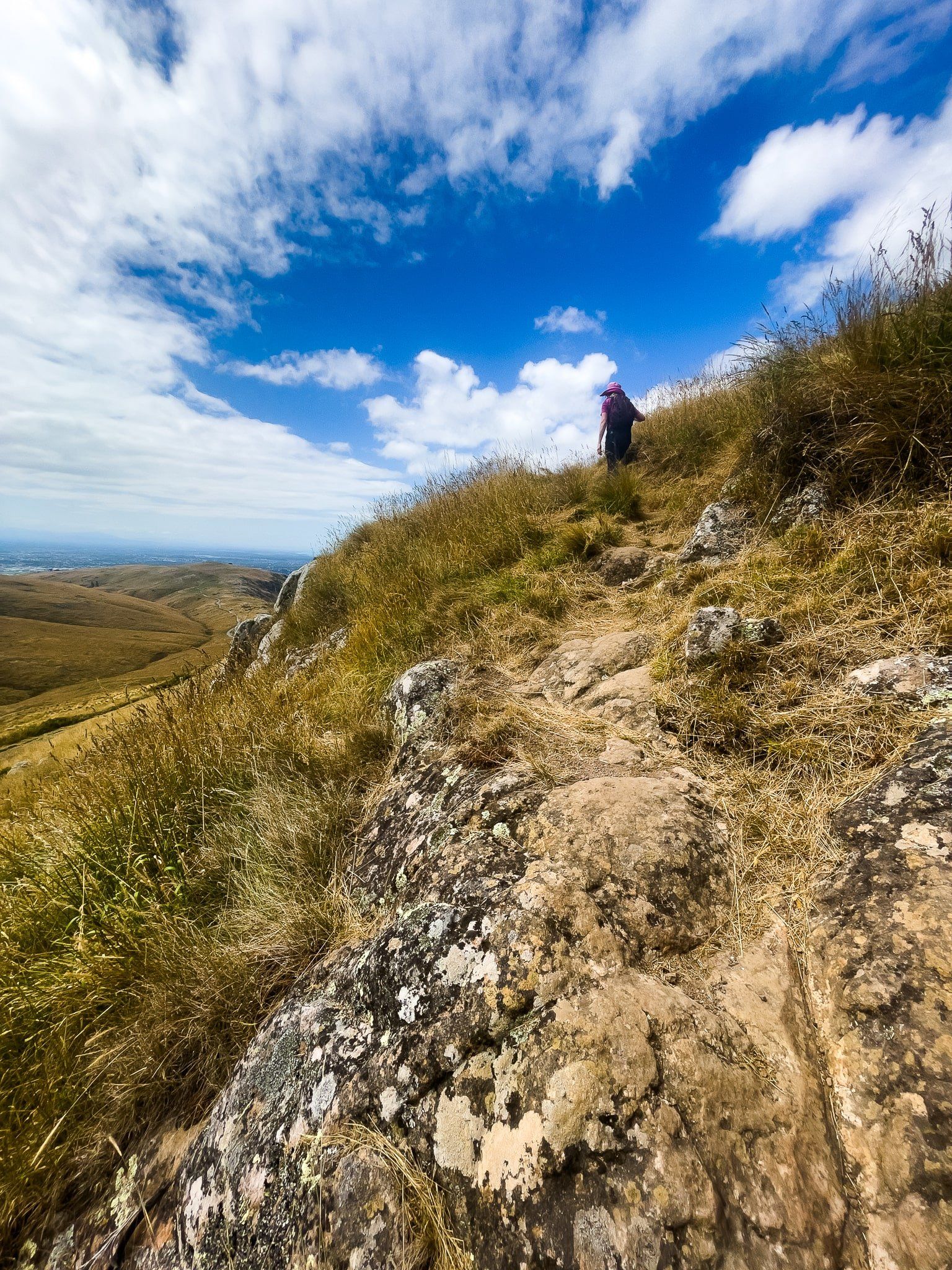
Upoko-o-Kurī Witch Hill
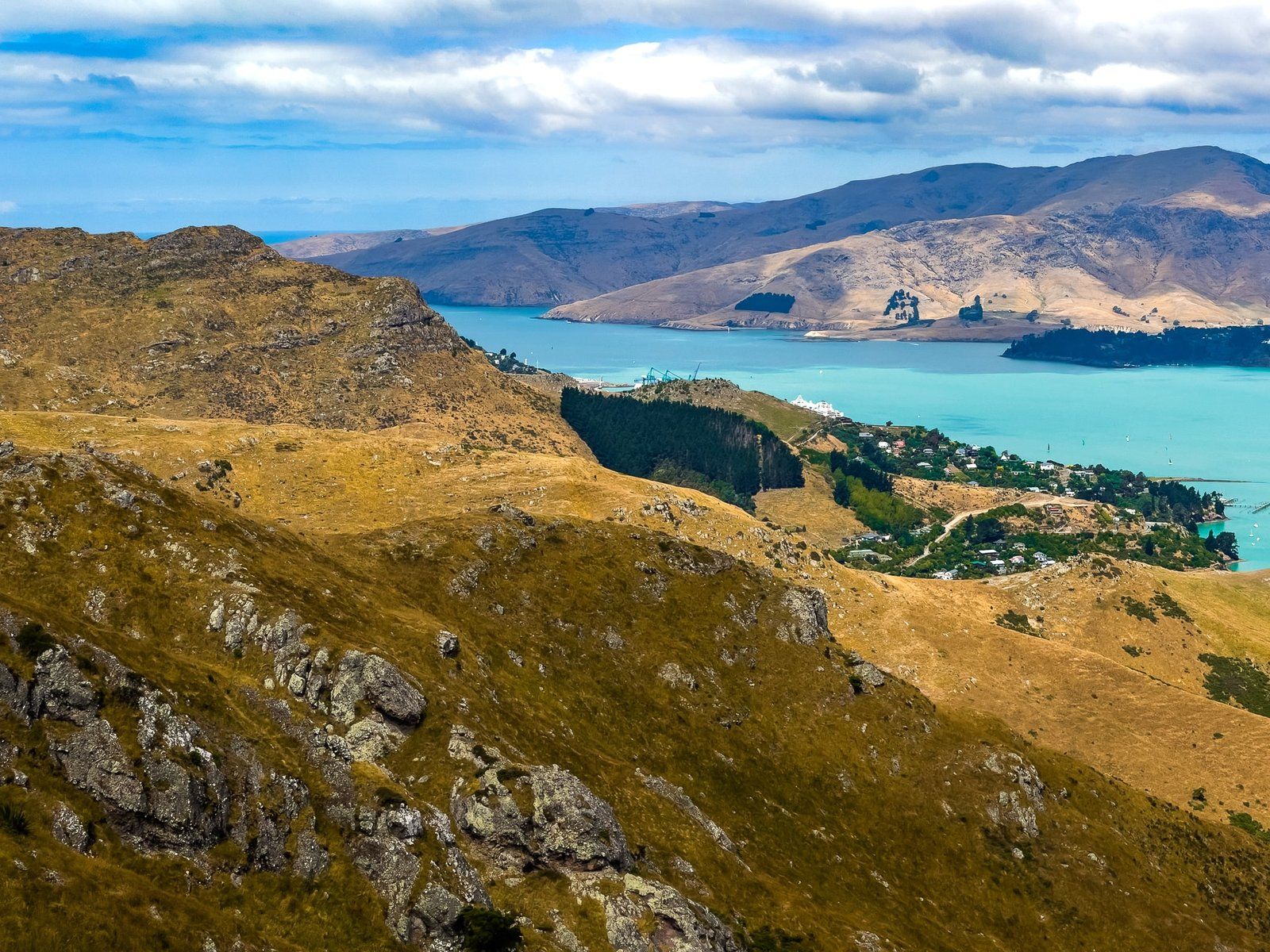
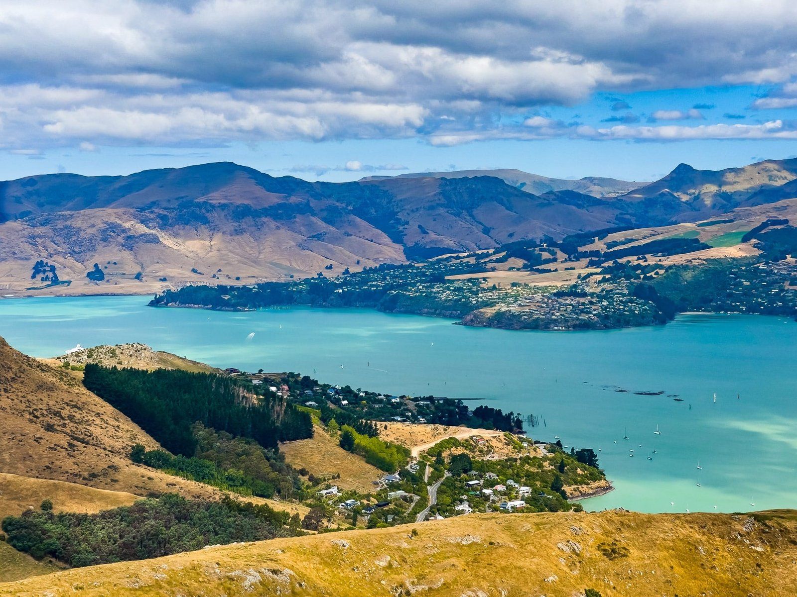
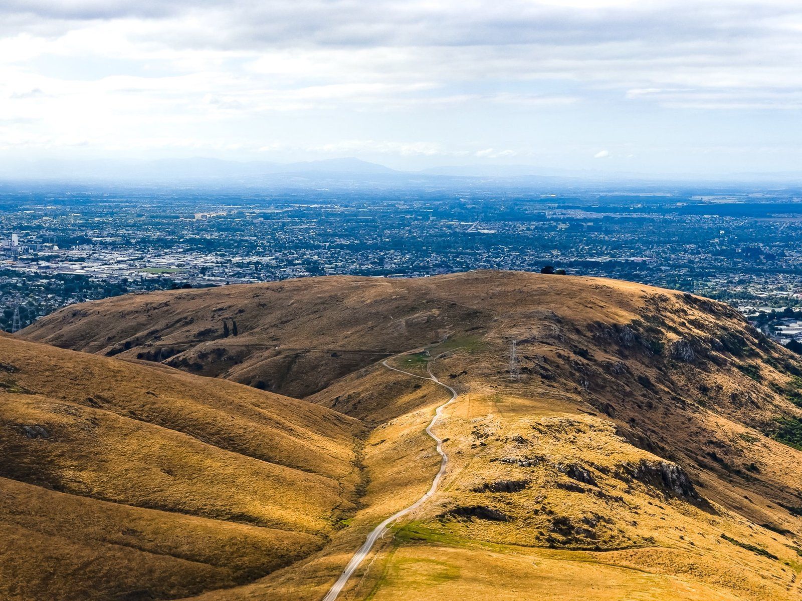
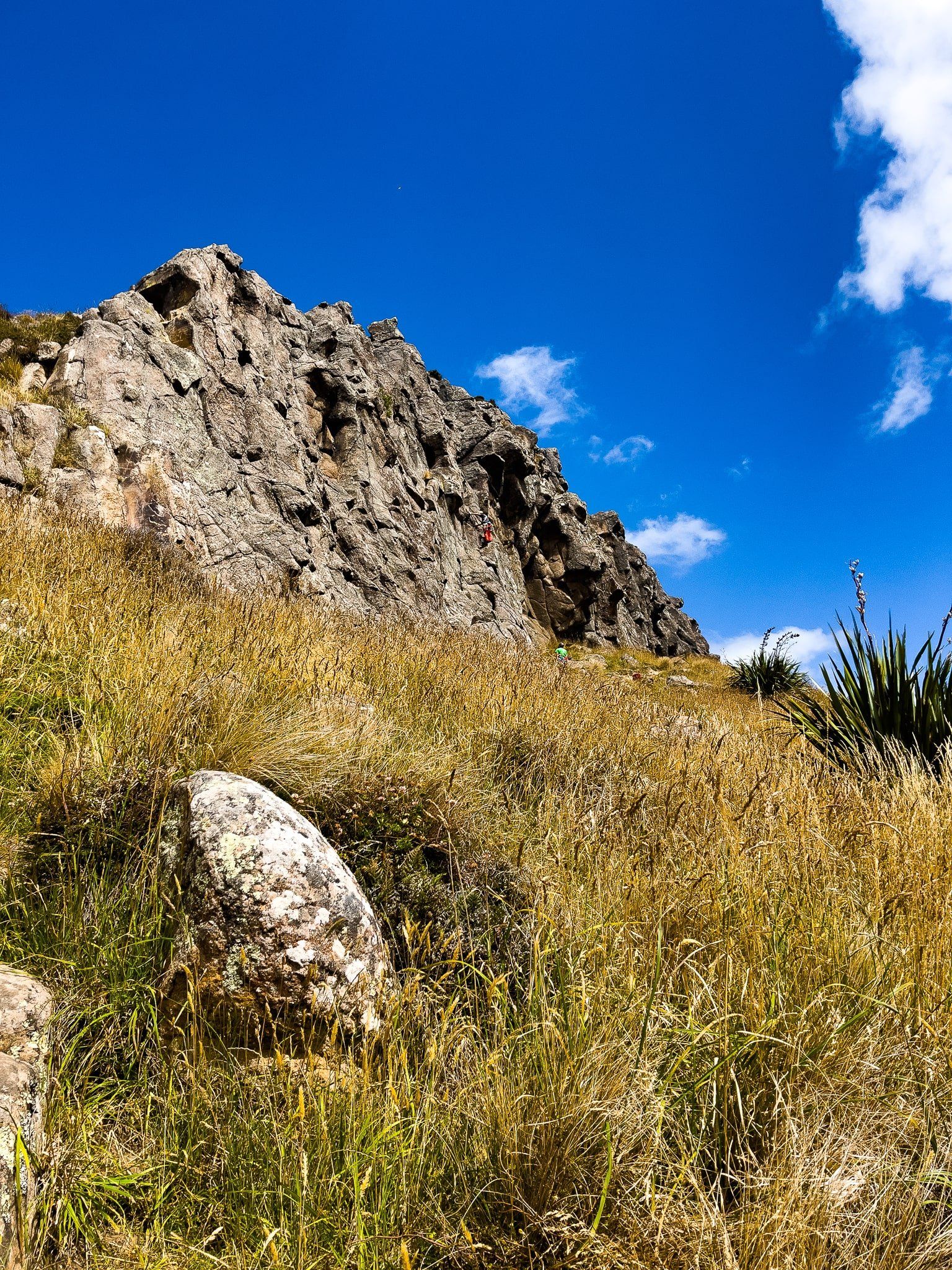
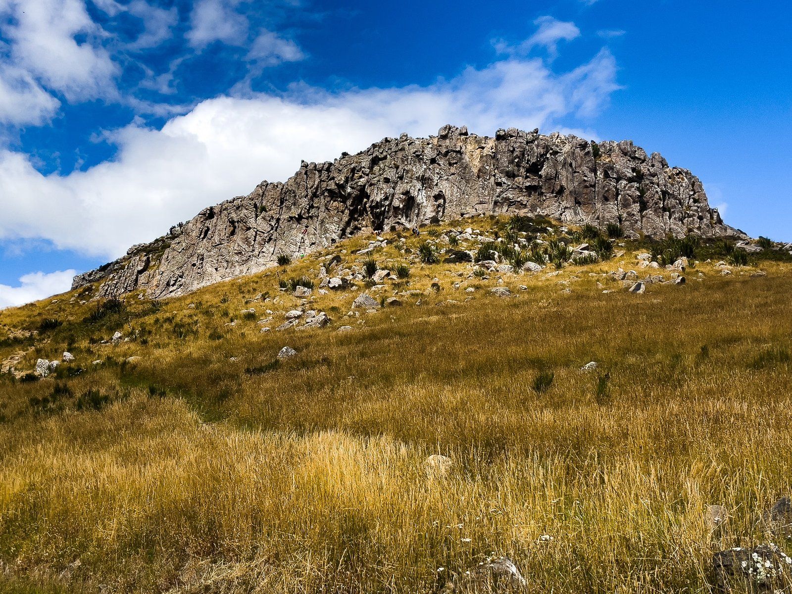
Upoko-o-Kurī / Witch Hill was as far as we could go by car on Summit Road. From there, a barrier restricted access to the next series of peaks – Te Moenga o Wheke / the Tors, Te Tihi o Kahukura / Castle Rock, Mt Cavendish and Tauhinukorokio / Mt Pleasant – to only bicycles and foot.
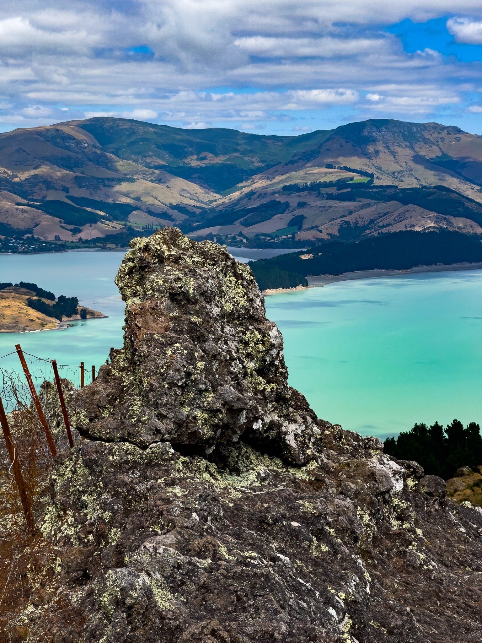
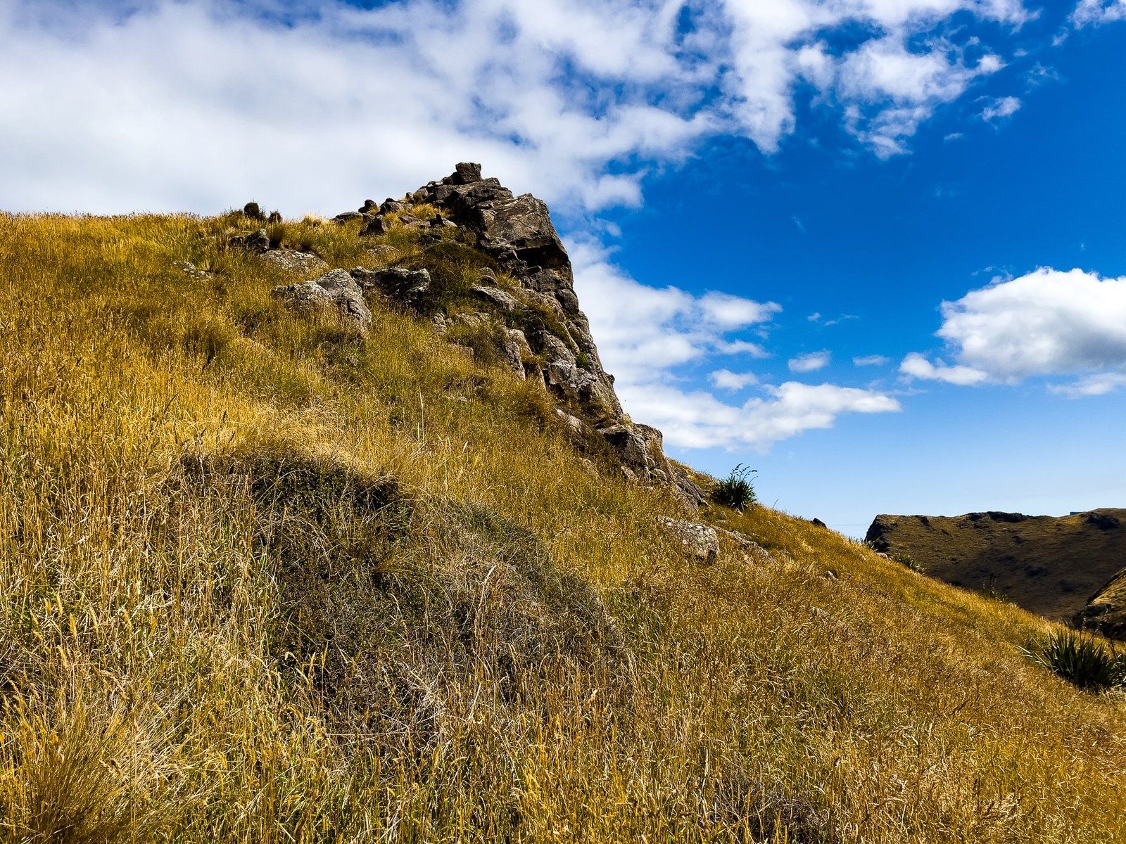
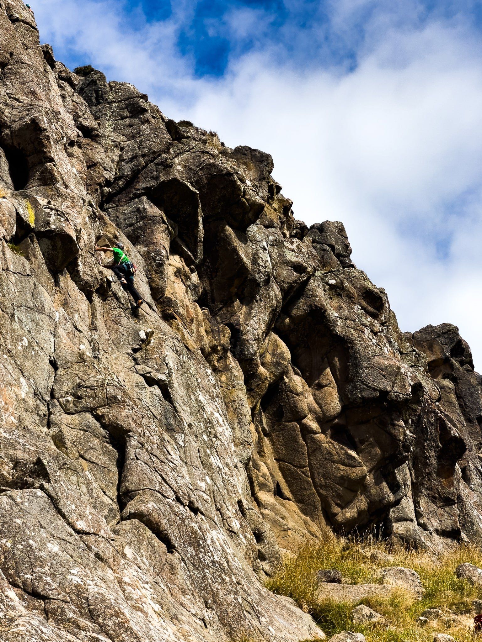
The view immediately from the carpark between Mt Vernon and Upoko-o-Kurī / Witch Hill was again superb, especially looking over Lyttelton Harbour. To the right was another route up Mt Vernon, or to the left you could walk below a rocky cliff face, complete with rock climbers. We expected to find an established informal track to the top but this turned out to be wishful thinking, so we instead bashed our way up the steep slope in thigh high long grass, then scrambled a couple of metres up the rocky outcrop at the top. More adventurous, but did take 3 times longer than we expected. In any event, Upoko-o-Kurī / Witch Hill lived up to its name.
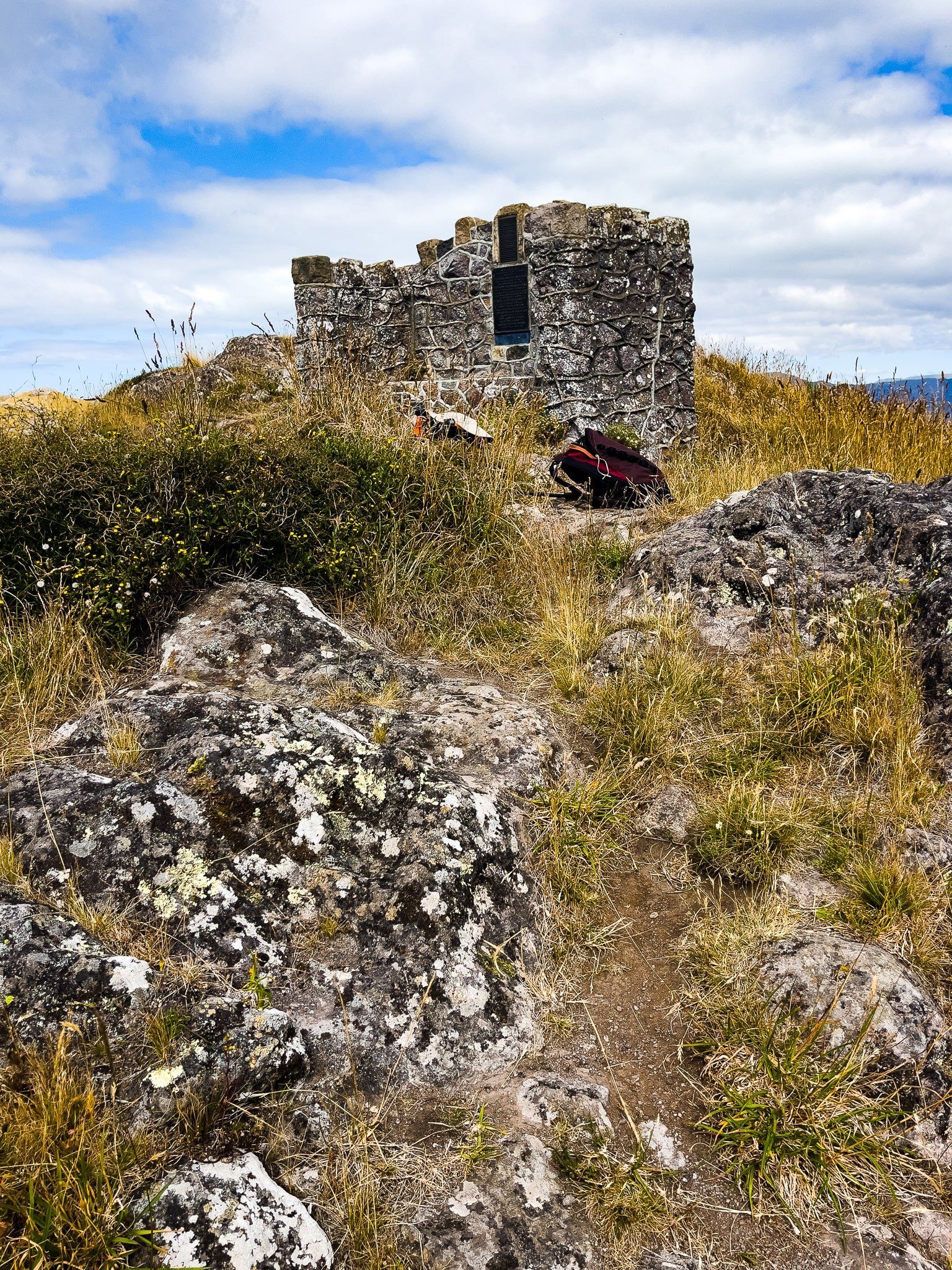
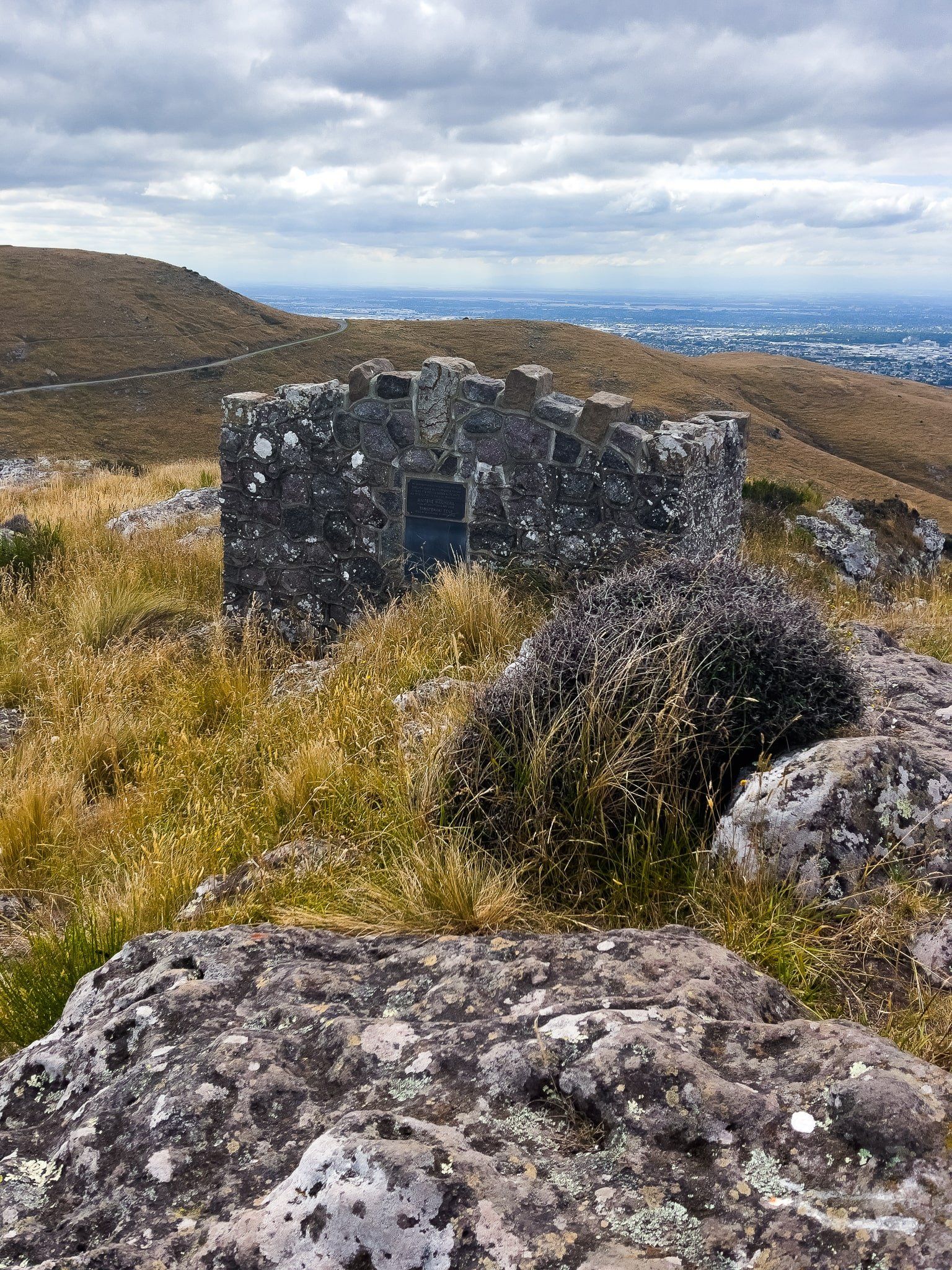
Witch Hill Peak
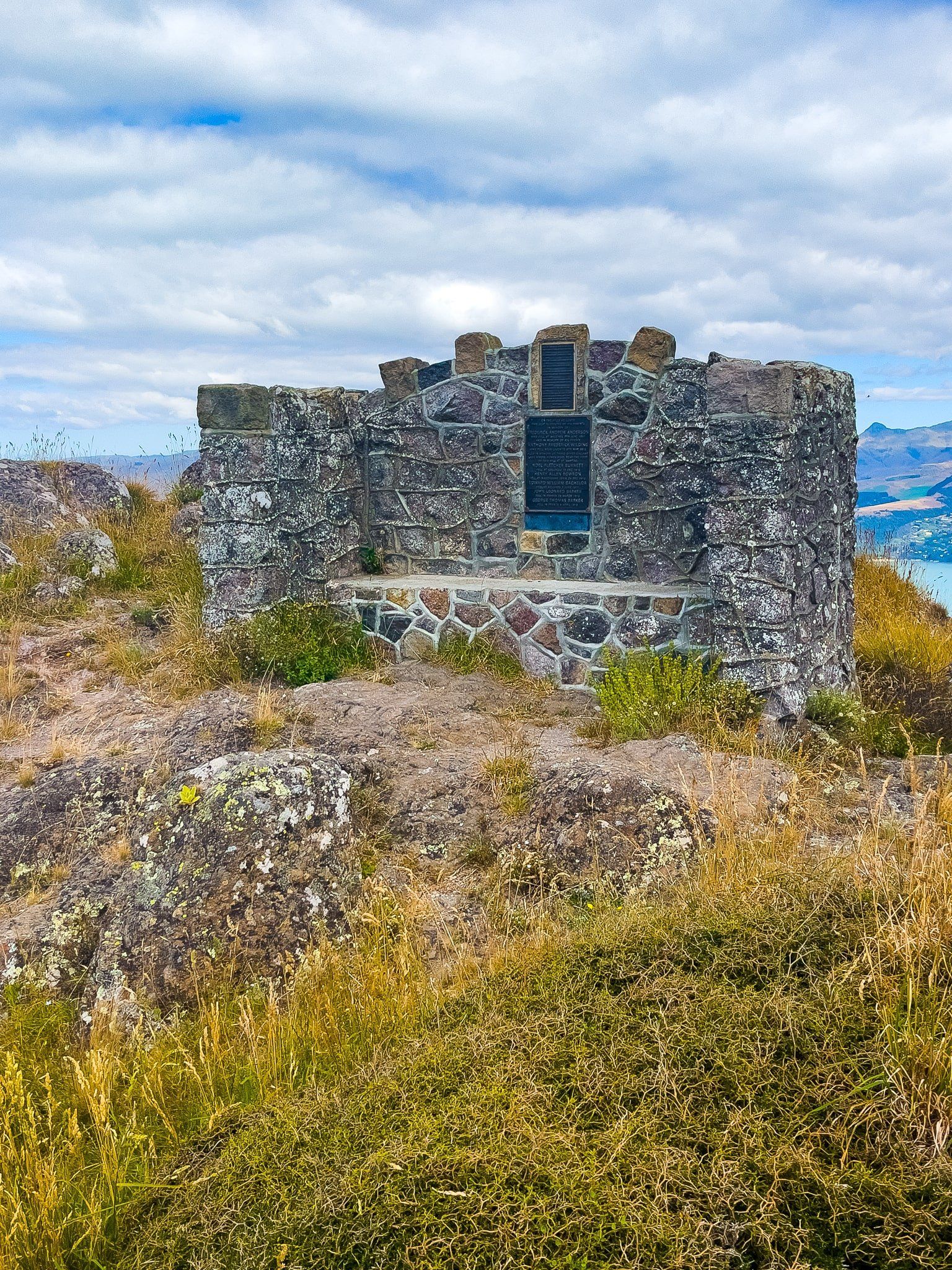
In addition to the outstanding view, there is a surprise waiting on the peak of Upoko-o-Kurī / Witch Hill, with a large stone seat facing towards Christchurch. This is a war memorial to New Zealand Wimbledon tennis champion, Anthony Wilding and others, including two local Māori (Lyttlton facing side of the memorial) who died in WWI. The monument also includes a poem by famous English WWI poet Rupert Brooke, who also died at Gallipoli, ‘The Dead‘.
Anthony Wilding was the first tennis player to win major titles on grass, clay and hard court (wood) in a single year (1913), and apparently the first tennis superstar!
The monument was destroyed during the Christchurch earthquake of 2012 but is fully restored, explaining why it looks quite new.
Summit Road South of The Kiwi
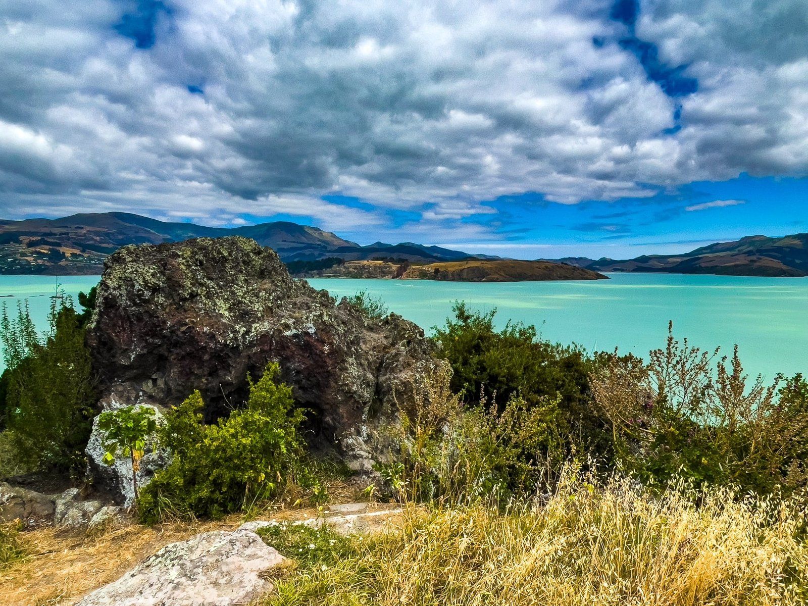
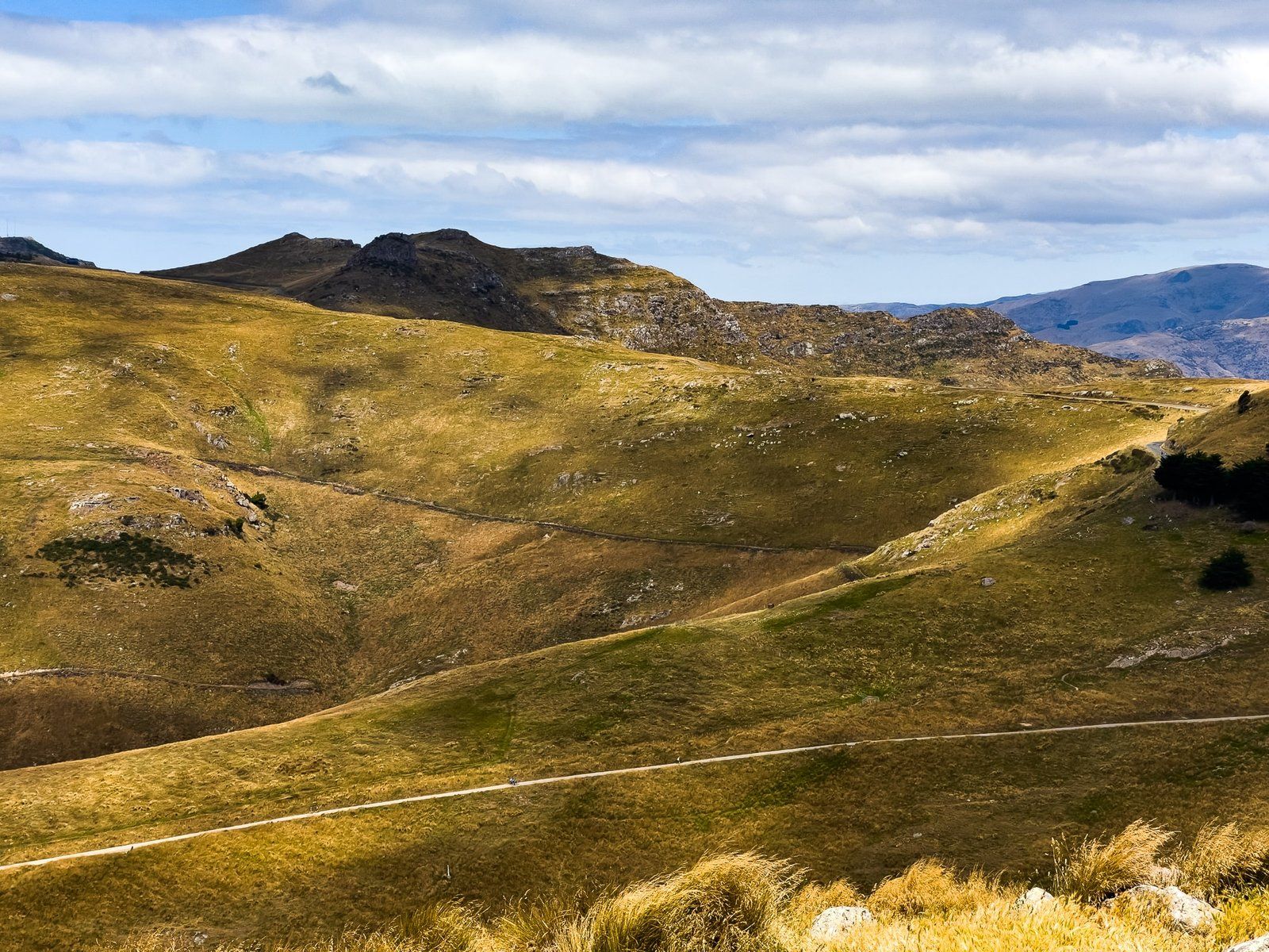
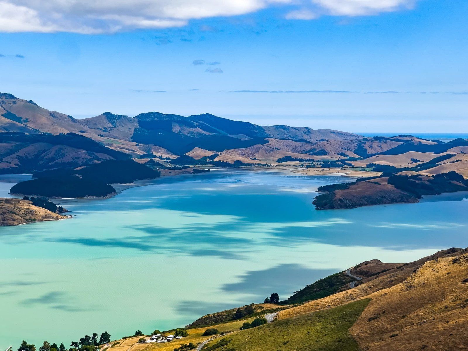
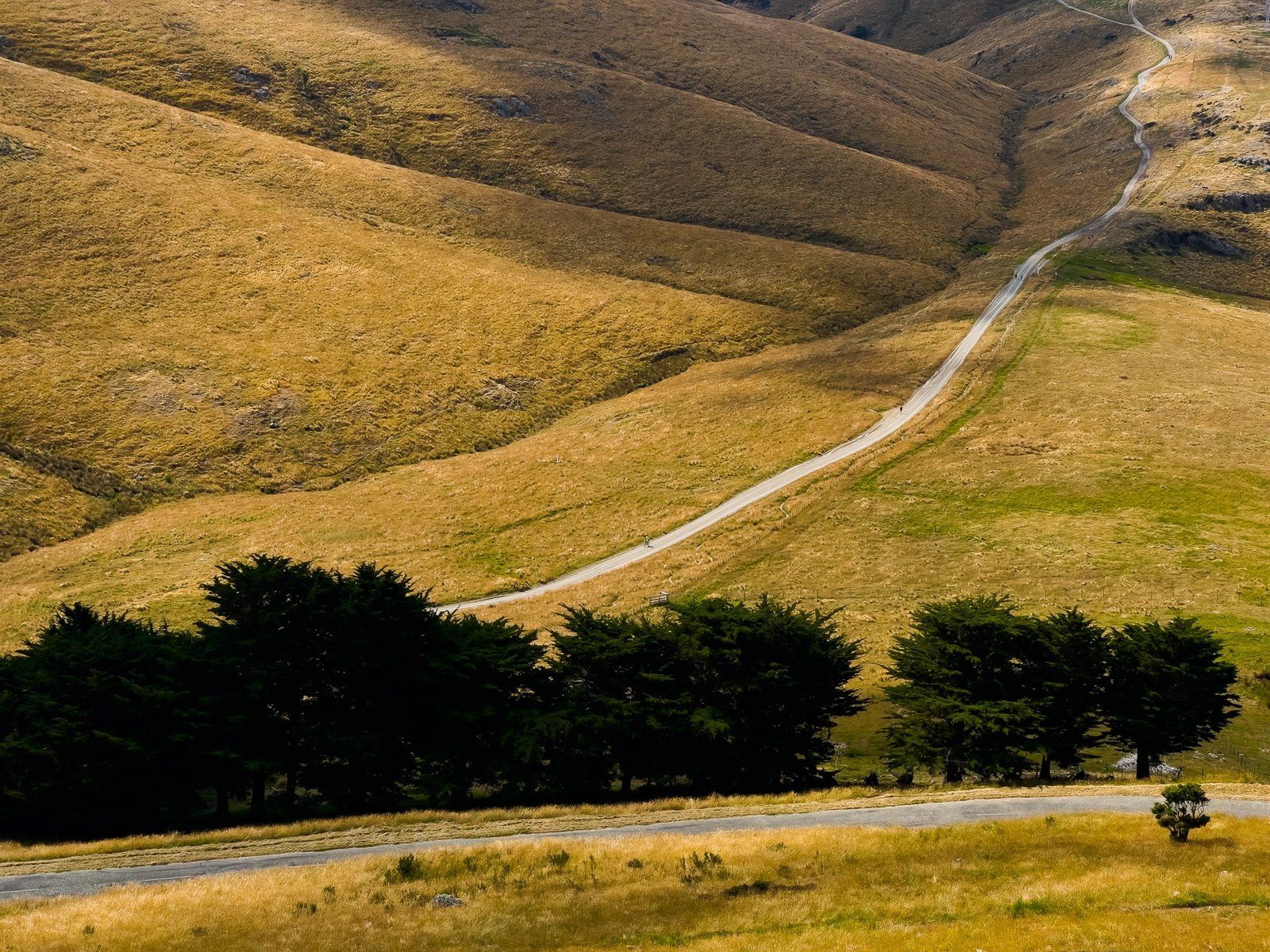
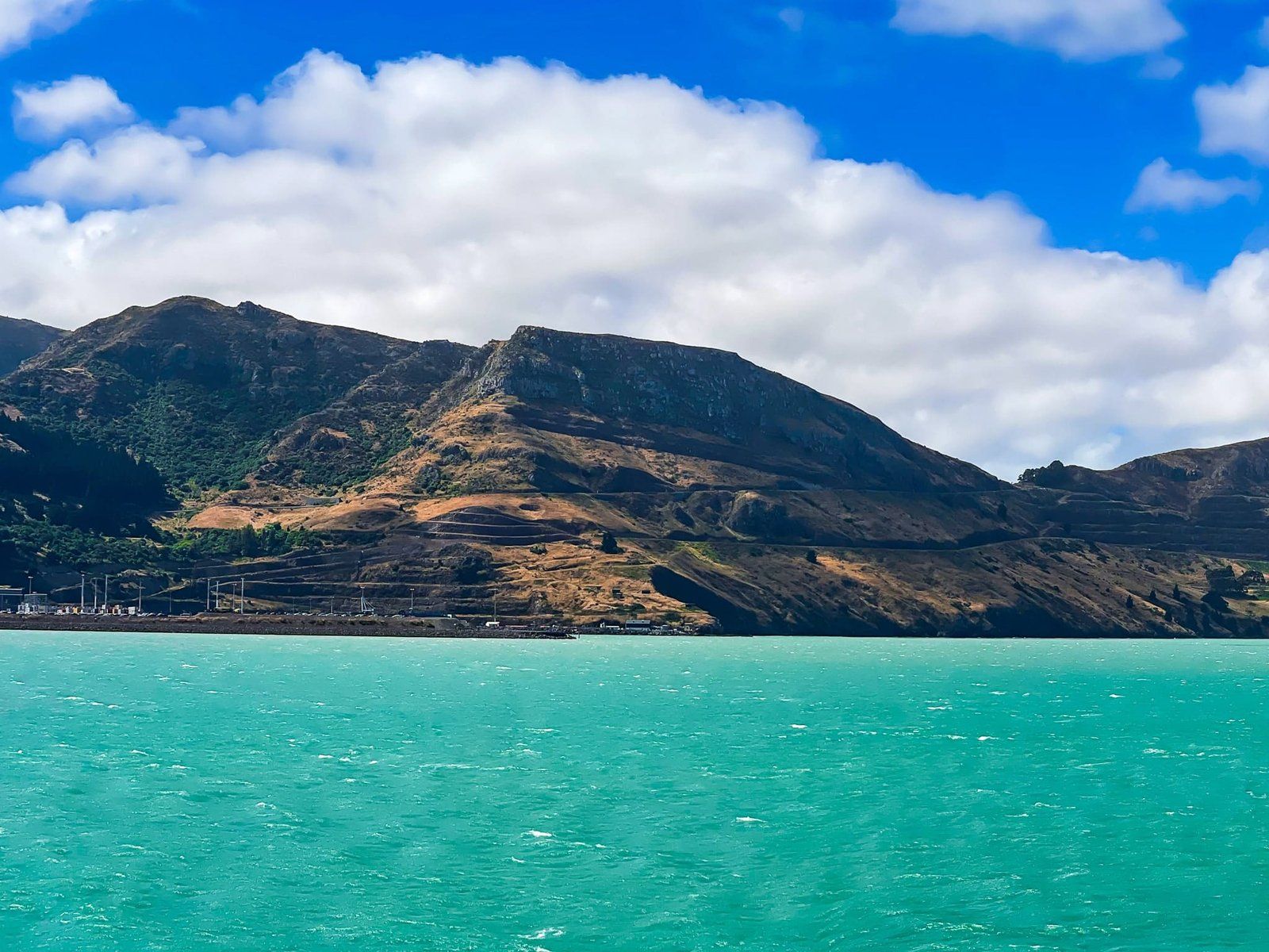
We returned back down Summit Road to Sign of the Kiwi and then on along the south end of the road to Gebbies Pass. This section of the road is a bit quieter with fewer informal track options for hiking up to high points. However, the views continue to be exceptional and there are some places to stop safely. The main walking track also runs along the crater rim although it peters out after about 5 kms at Sign of the Bellbird.
Beware that you will likely encounter pedestrians and cyclists along the windy narrow section of road from Gebbies Pass to the trailhead.
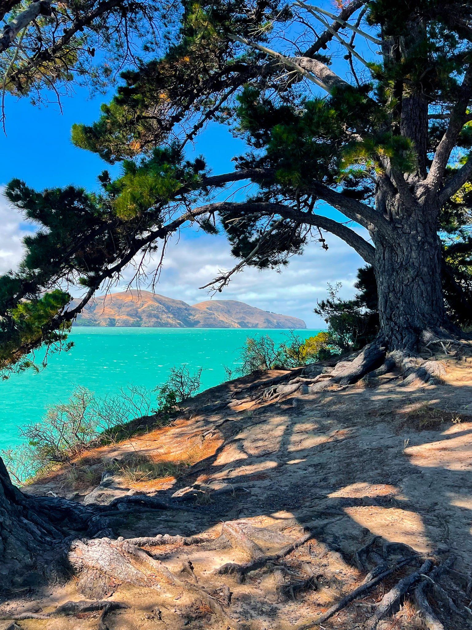
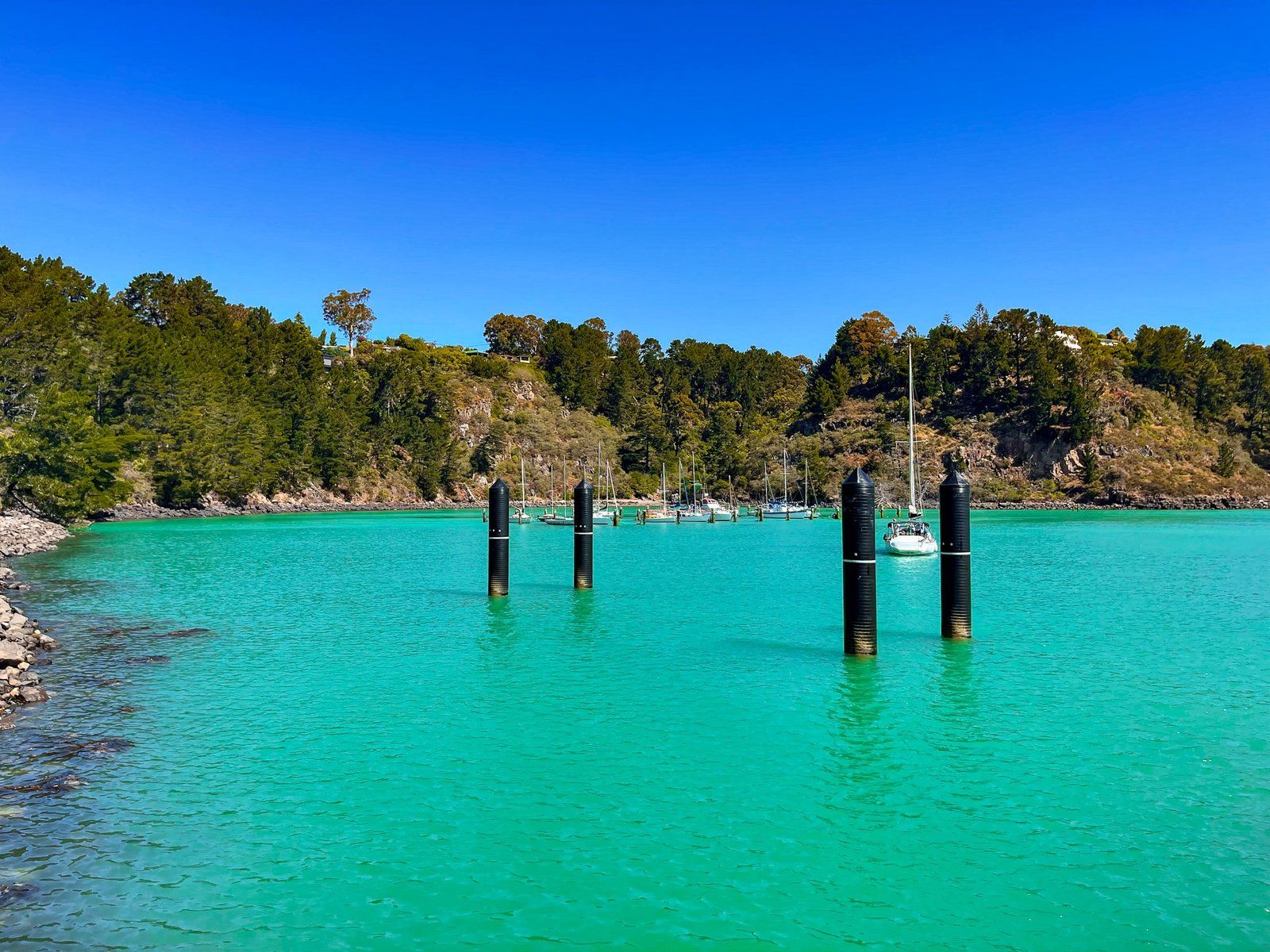
Diamond Harbour
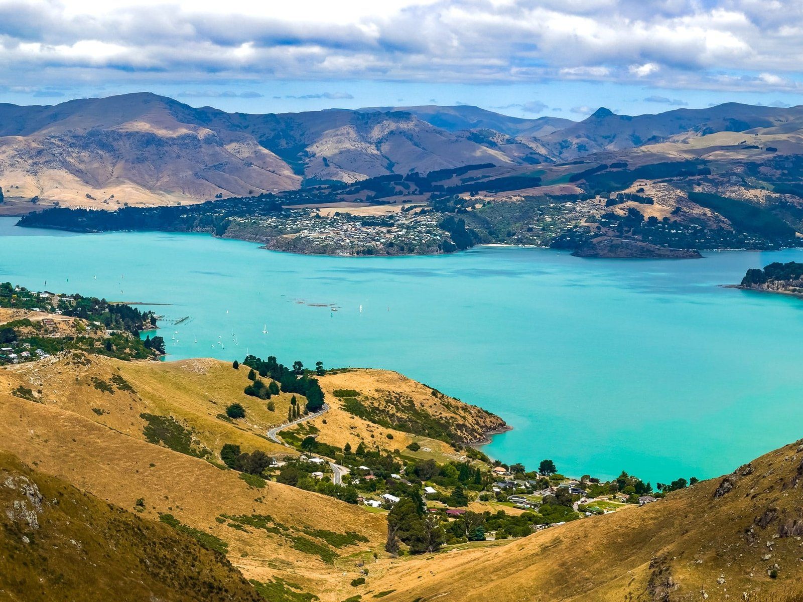
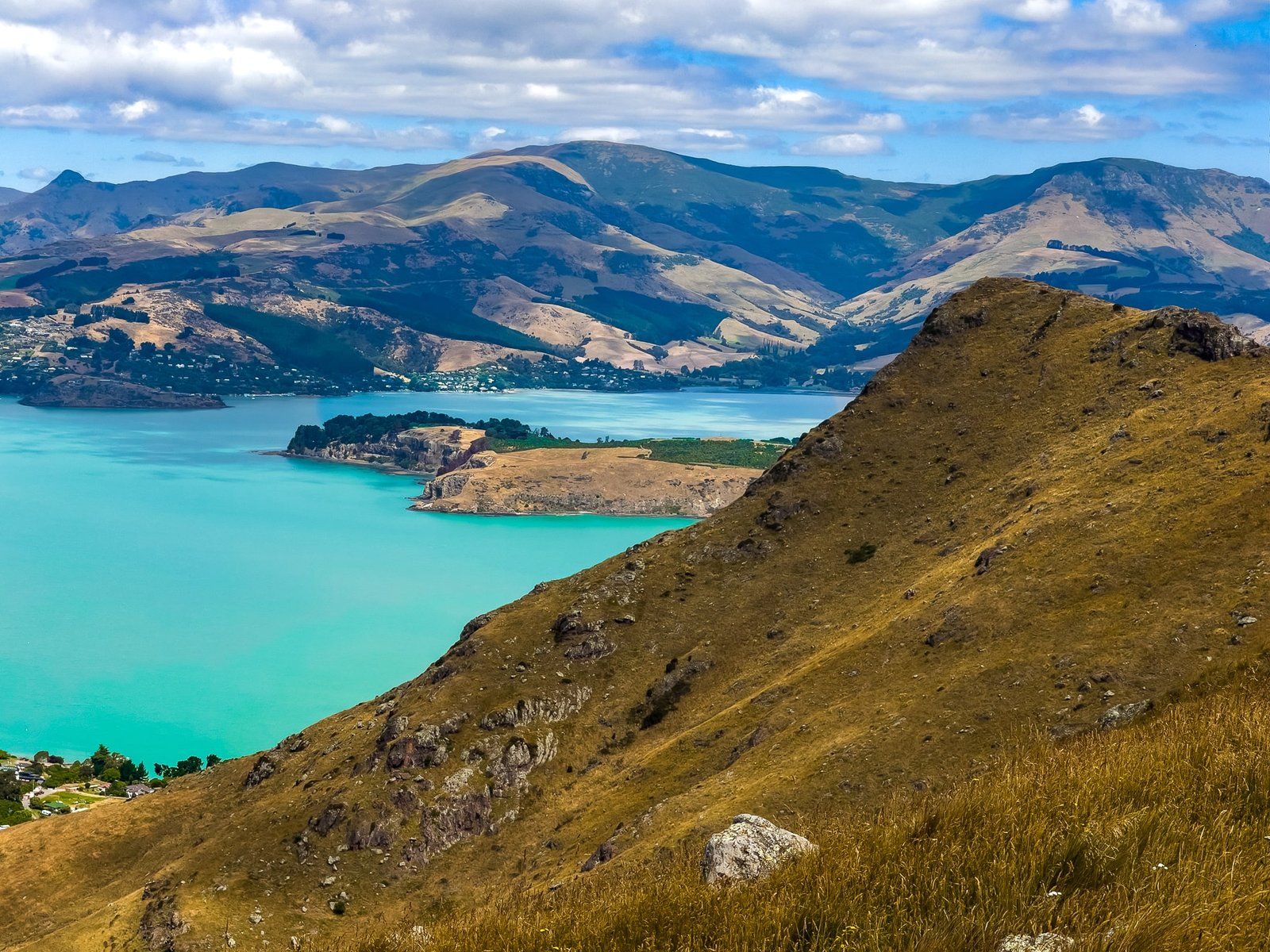
Gebbies Pass is a low point in the crater rim at just 200 metres above sea level, and the end of the southern section of Summit Road. From there turn left to head back to Lyttelton Harbour and connect with Charteris Road. Turn right to go around the east side of the crater and harbour to Diamond Harbour.
At 1,200 people, Diamond Harbour is the second largest town on Lyttelton Harbour and can also be reached by ferry from Lyttelton. The area was named by early European settler farmer Mark Stoddart for the way the sunlight glints off the water.
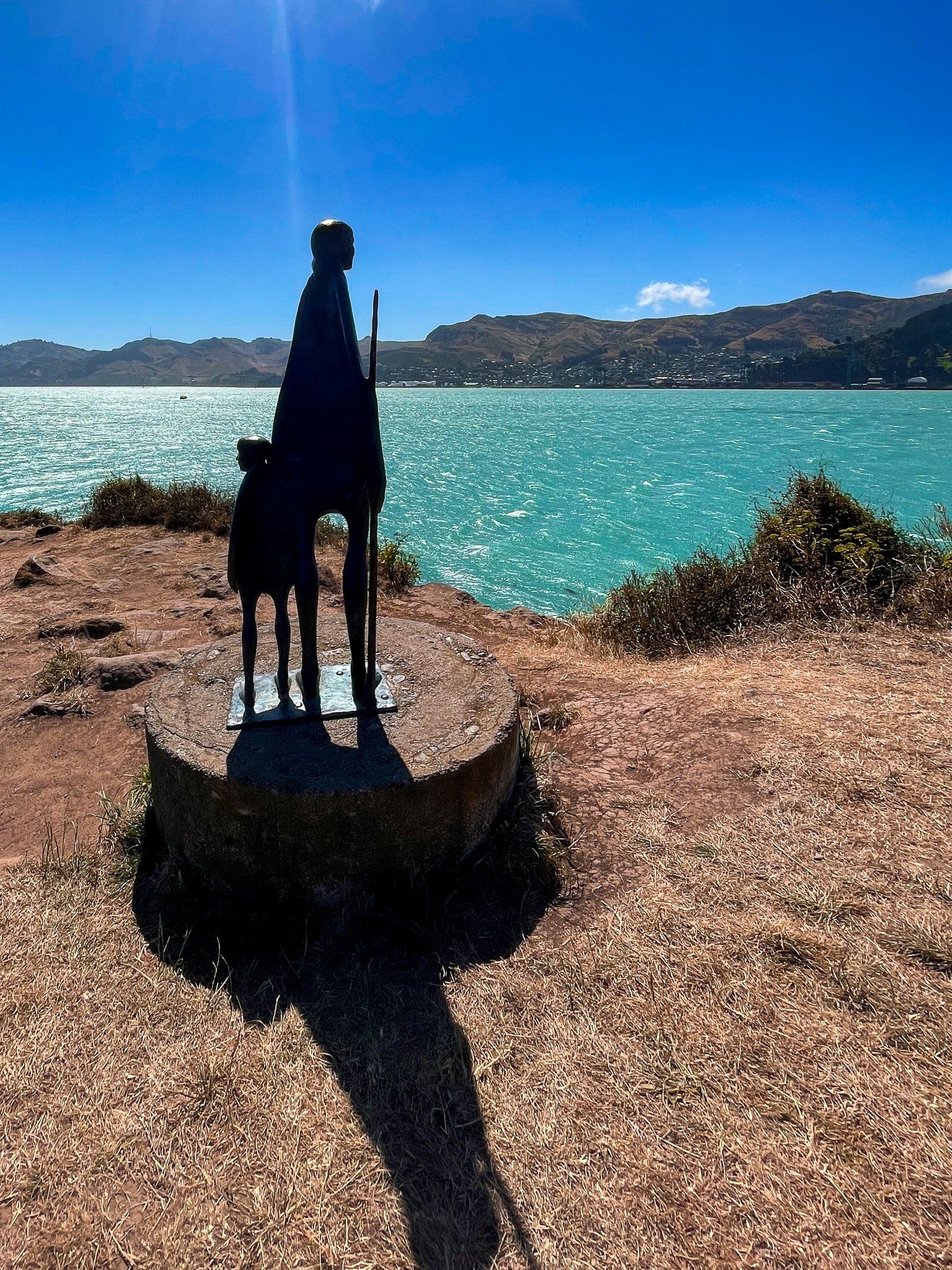
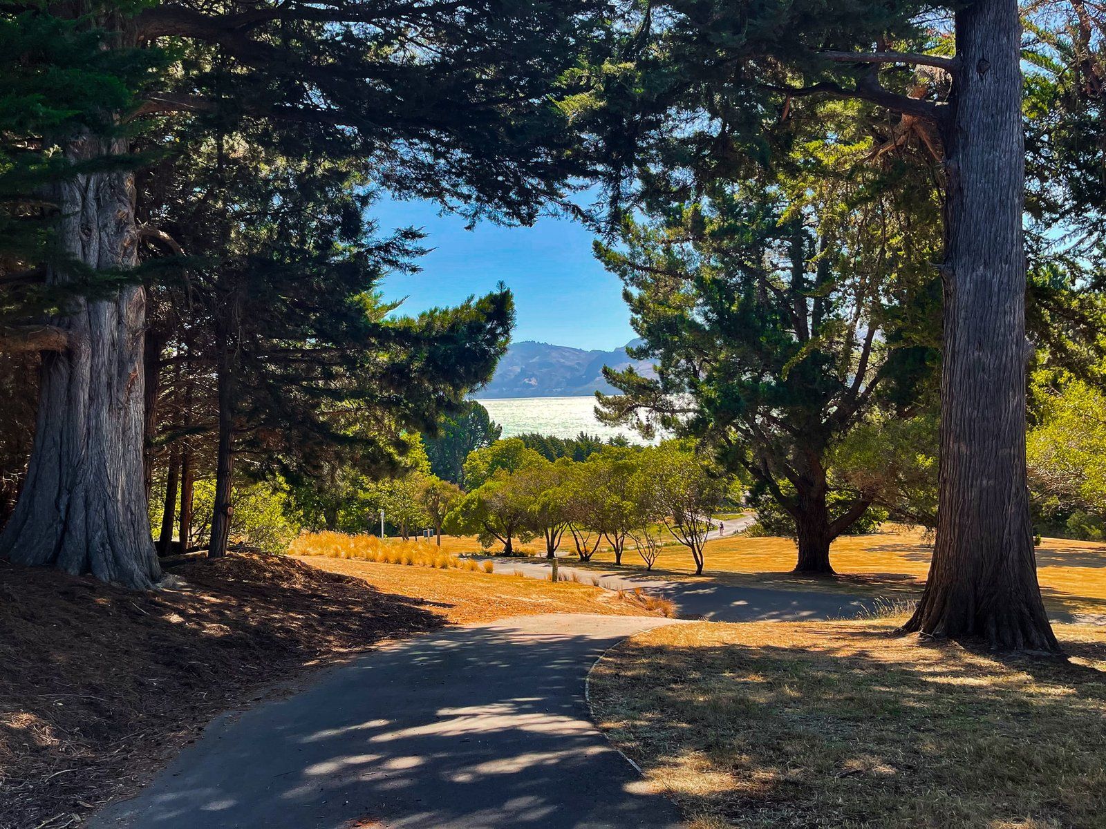
Services are limited in the town – a cafe/bar and fish and chips shop – but it does have a very nice park centred around the ferry terminal in Te Waipapa / Diamond Harbour (actually a bay not to be confused with the town) and Stoddart Point. From the clifftop at the point, there are fabulous views back to Lyttelton and down to the harbour entrance, plus the interesting mother and child sculpture ‘Looking for something that will last’ by Alison Erickson.
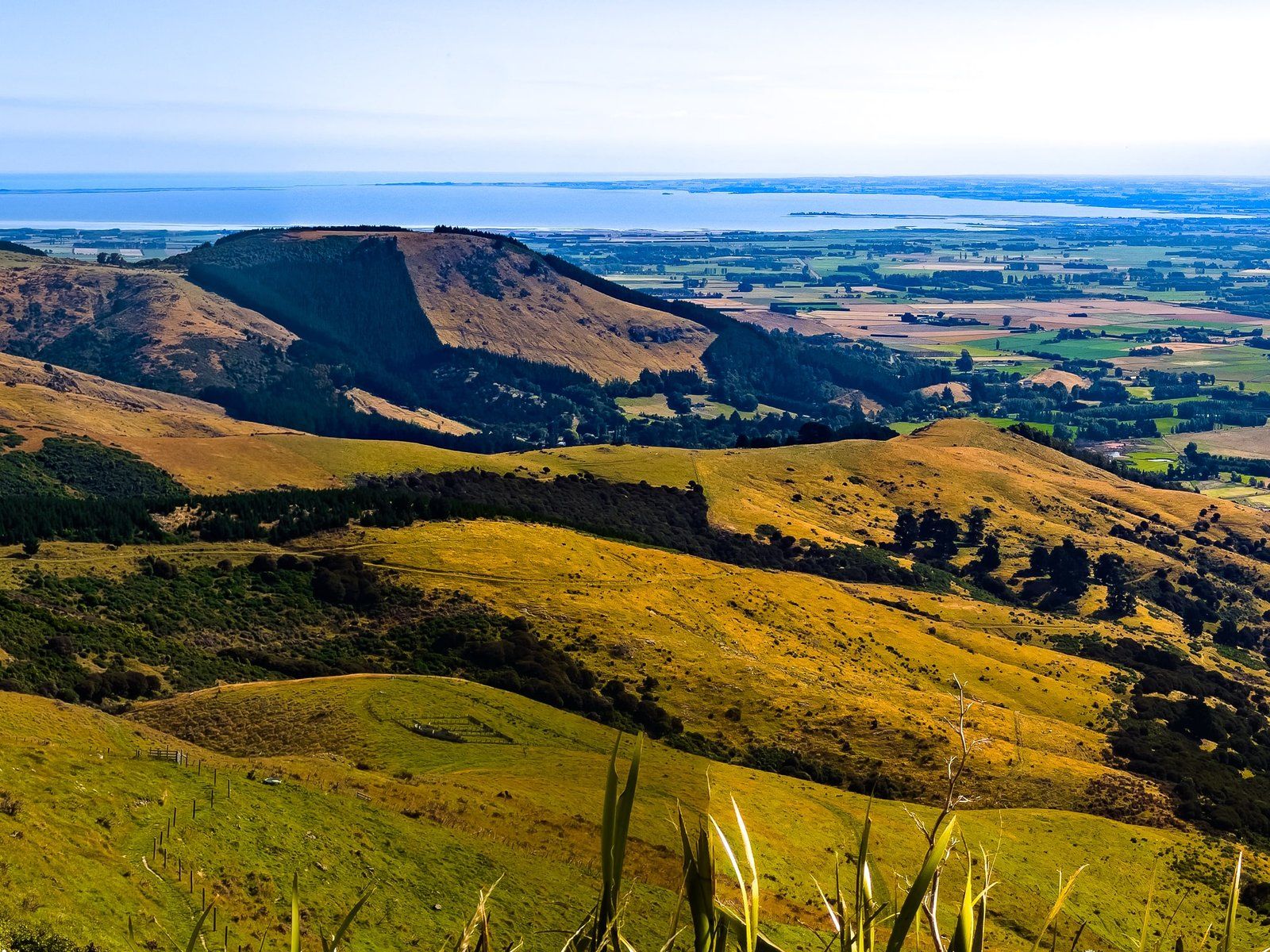
From the Point, there are multiple walking options around the cliffs and through the park to the Memorial Gardens and the historic Stoddard Cottage. If you feel like a real hike, Stoddart Point is also the start of the 9 km uphill slog to the top of Mt Herbert / Te Ahu Patiki. At 909 metres, it is the highest point on Banks Peninsula, and the eroded core remnants of a third major ancient volcano that filled in the land between the Lyttelton and Akaroa craters.
Want more Banks Peninsula Trip Ideas?
Check out our previous blogs in the Banks Peninsula series, Exploring the Beautiful Bays and Beaches, and Exploring the Awesome Volcanoes and Forests.