Port Levy (Potiriwi) / Koukourarata sits between Lyttelton Harbour and Pigeon Bay. It is also one of the weirdest official place names in NZ. Potiriwii is presumably a Māori transliteration of the English, and Koukourarata is the traditional Māori name for the bay. The European name arose from Solomon Levey, an Australian merchant who sent trading vessels to Banks Peninsula during the 1820s.
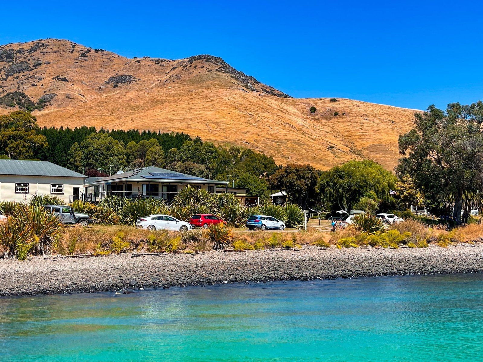
Unlike the other northeast bays, there was a Māori community of about 400 people at the time of European settlement, making it the largest Māori settlement on the peninsula. The Ngāi Tūāhuriri (a sub-tribe of Ngāi Tahu) chief Moki named the bay Koukourarata. It was also the home of Tautahi, the chief after whom the swampland Ōtautahi (where Europeans established Christchurch) was named. Only about 100 full-time residents are still in and around Port Levy, with the Ngāi Tahu presence denoted by the Koukourarata marae.
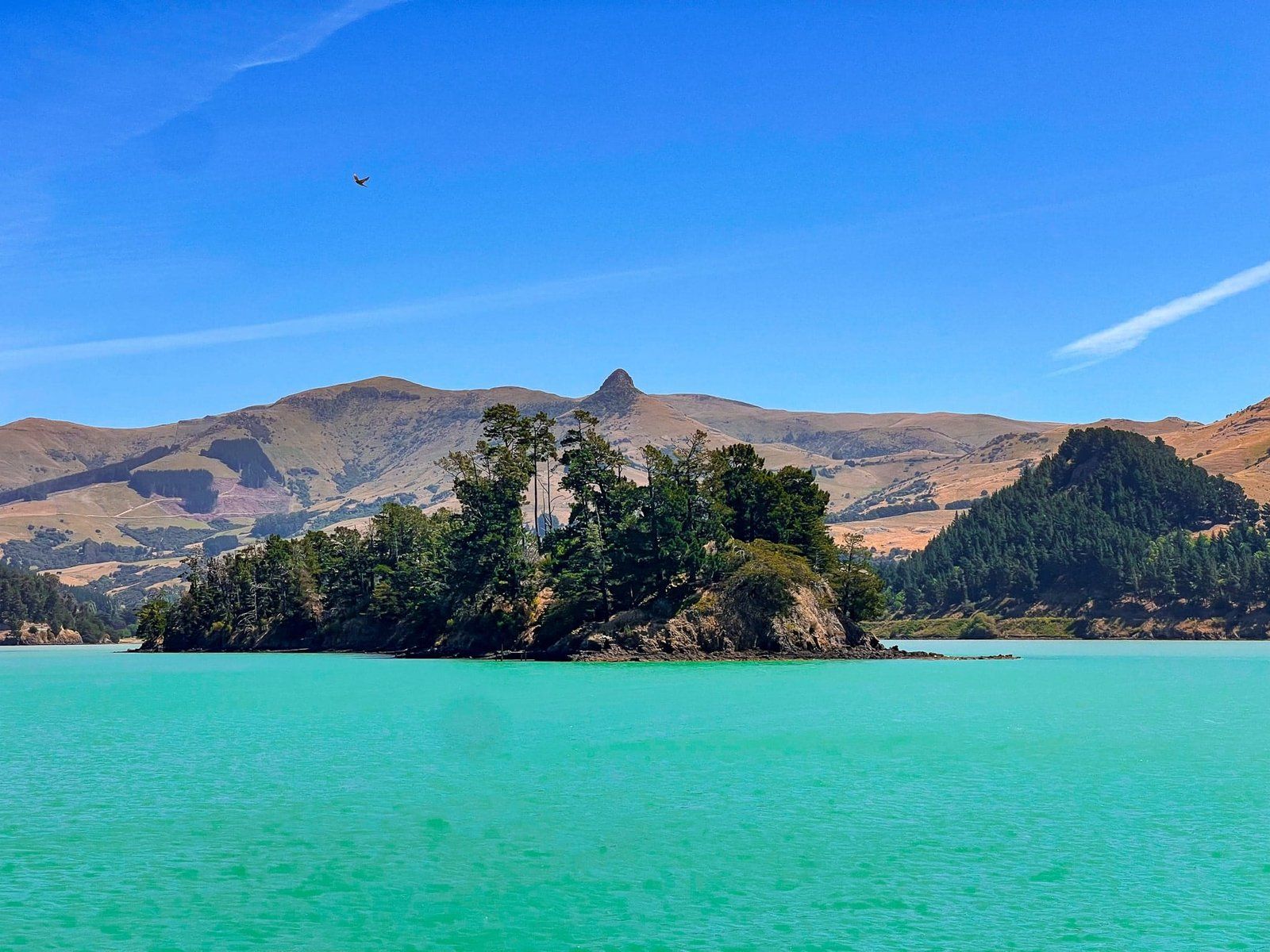
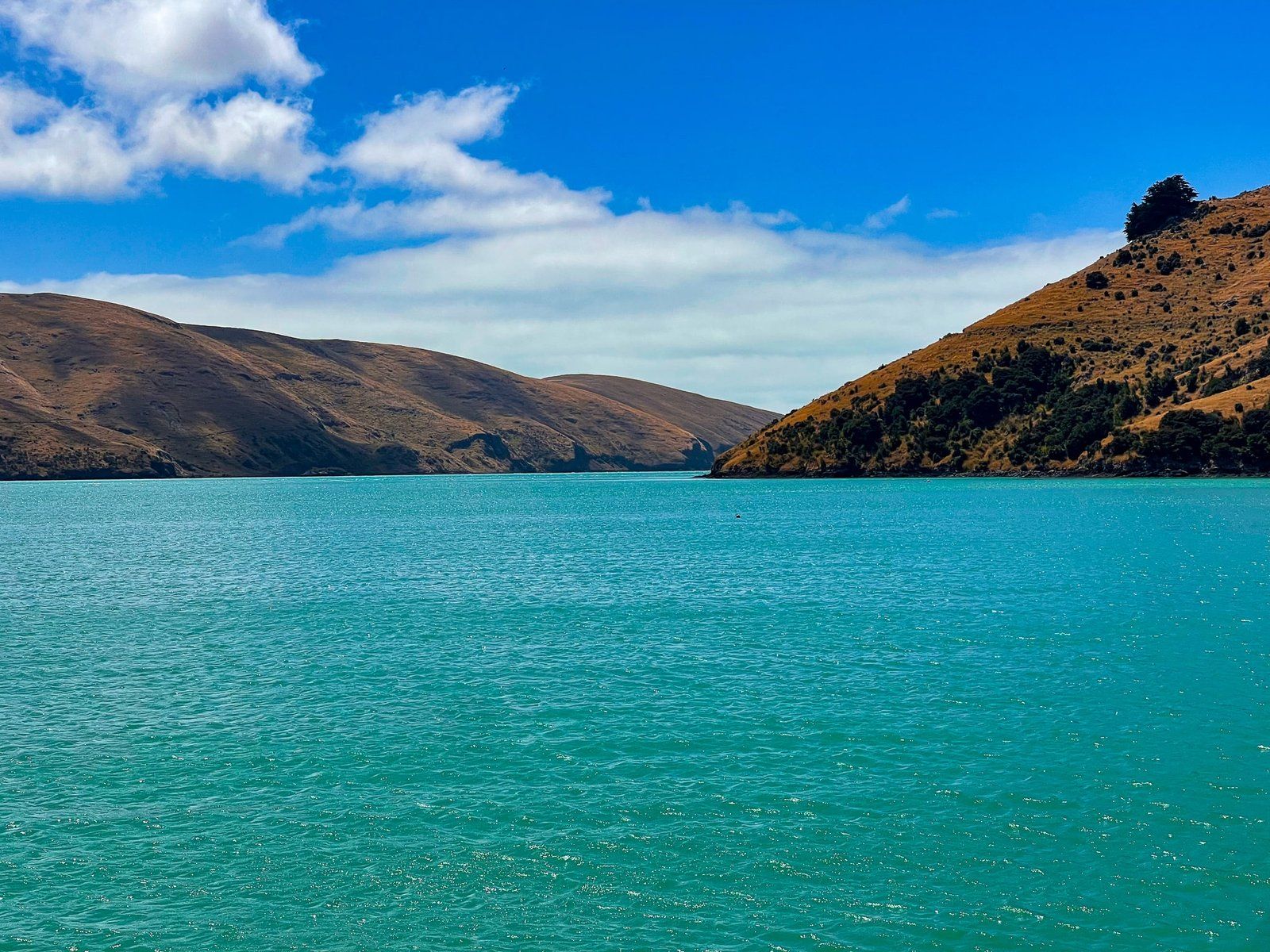
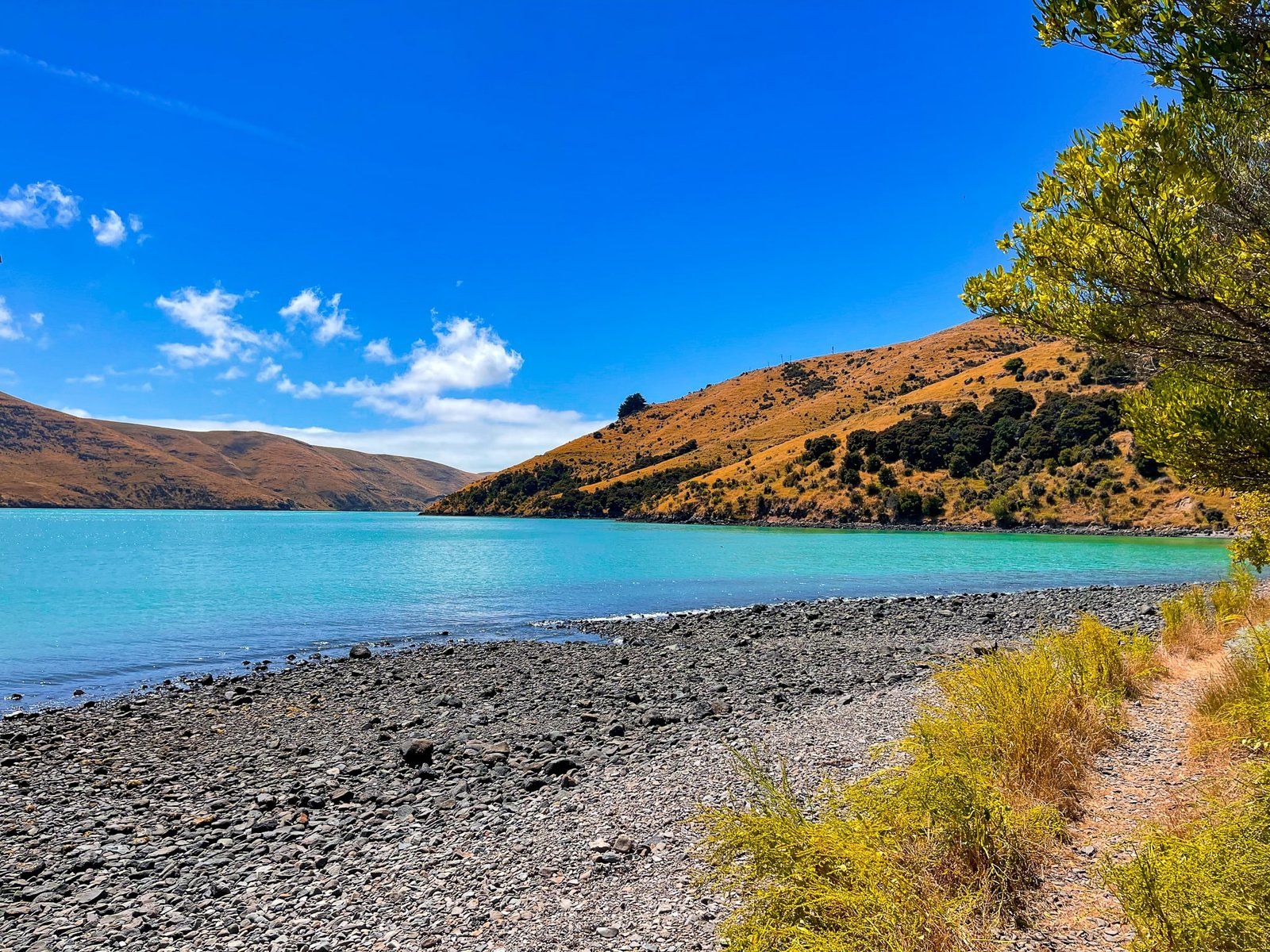
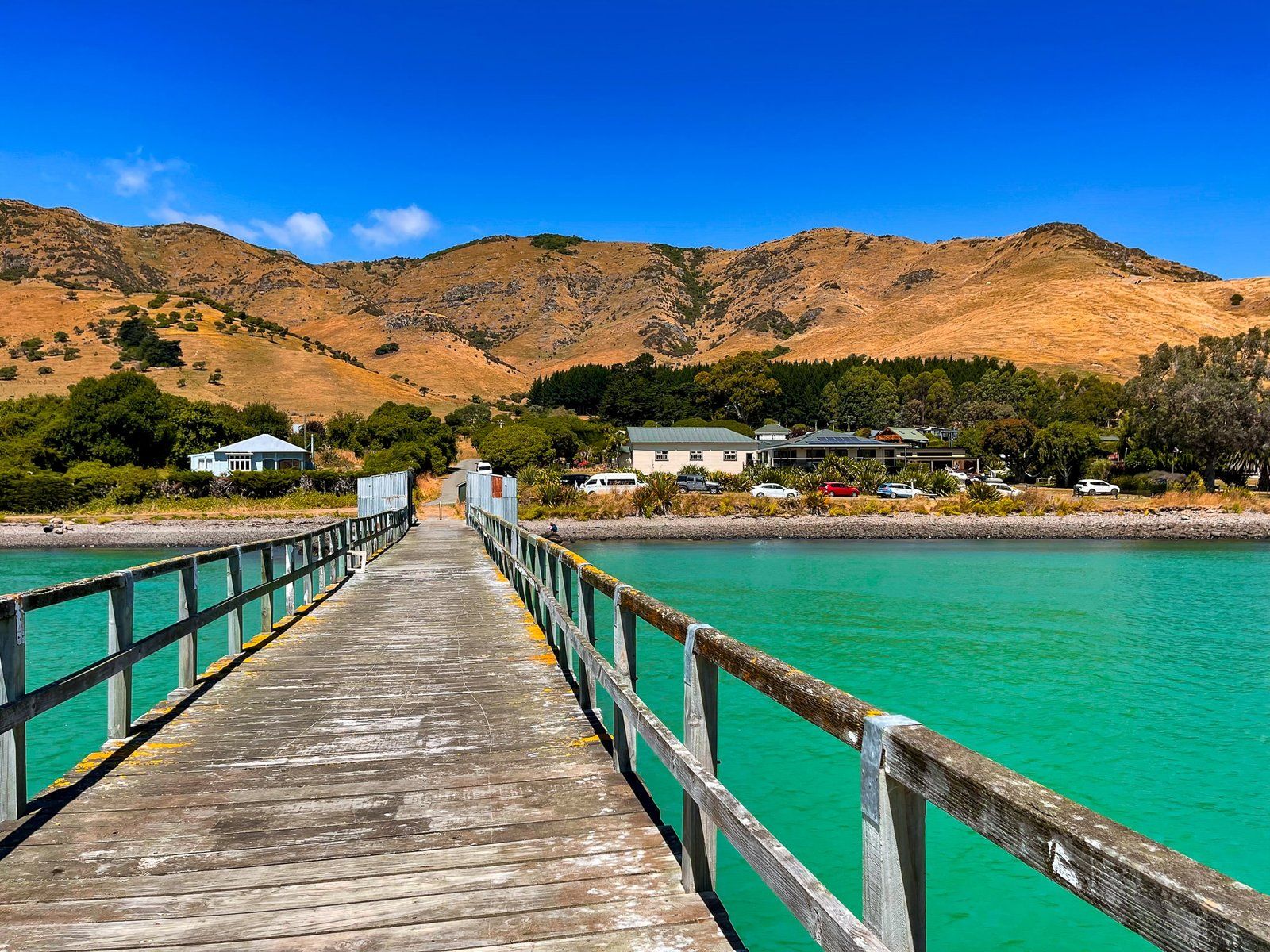
The bay itself is sheltered and long, with Port Levy 8 km from the opening to the Pacific. As with the other bays, European settlement led to farming and intensive forest clearance.
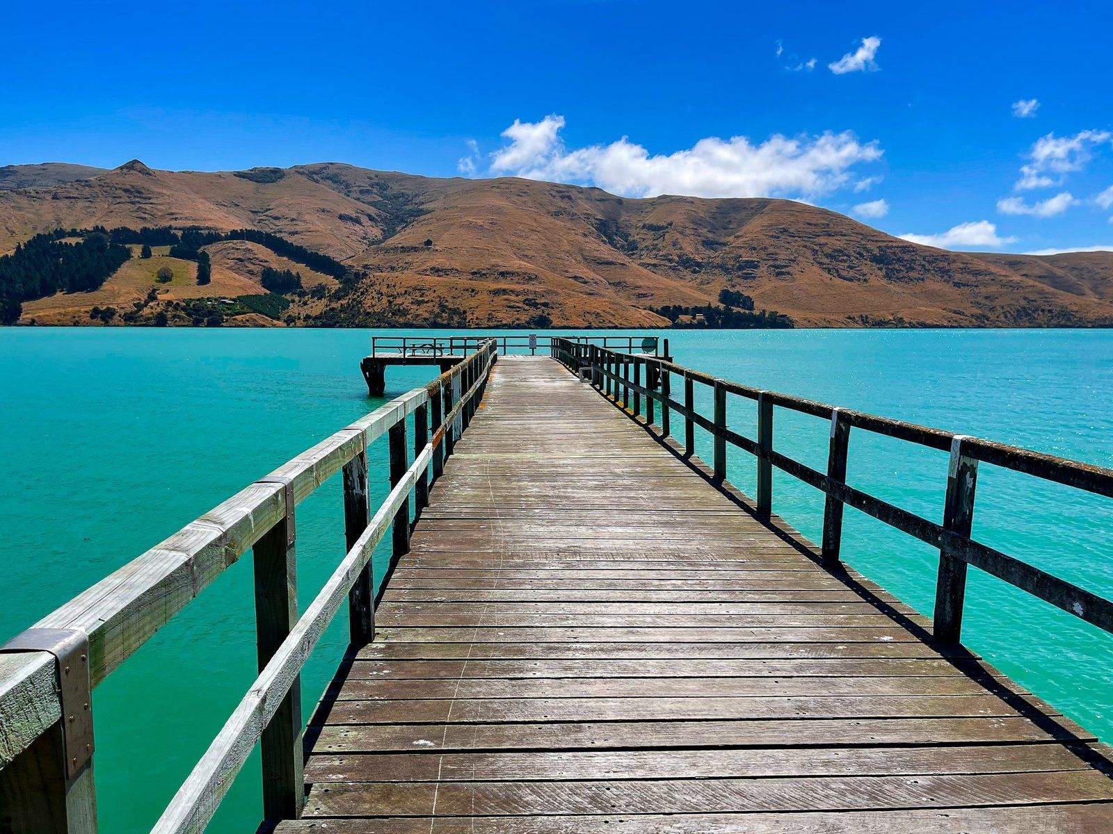
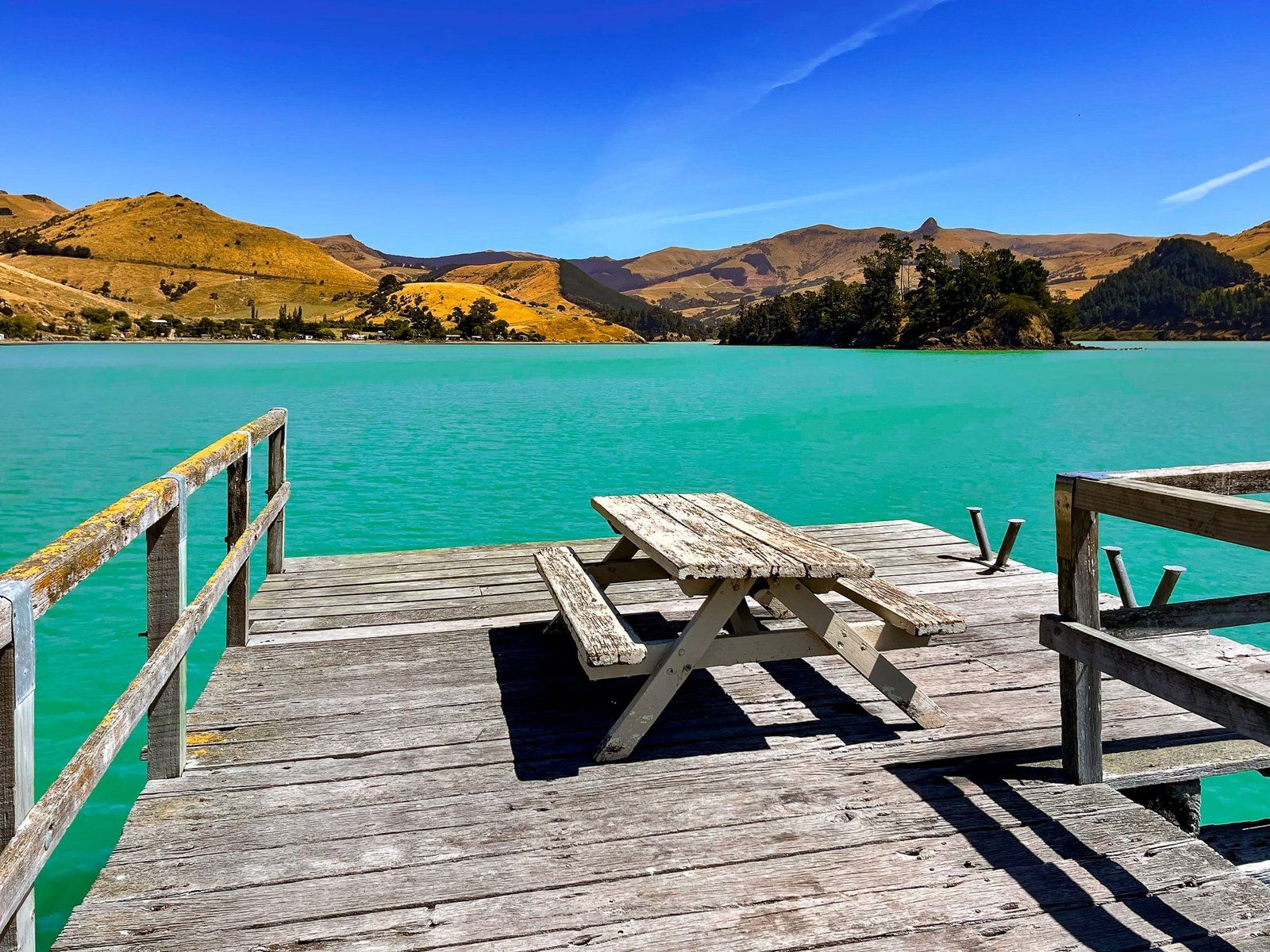
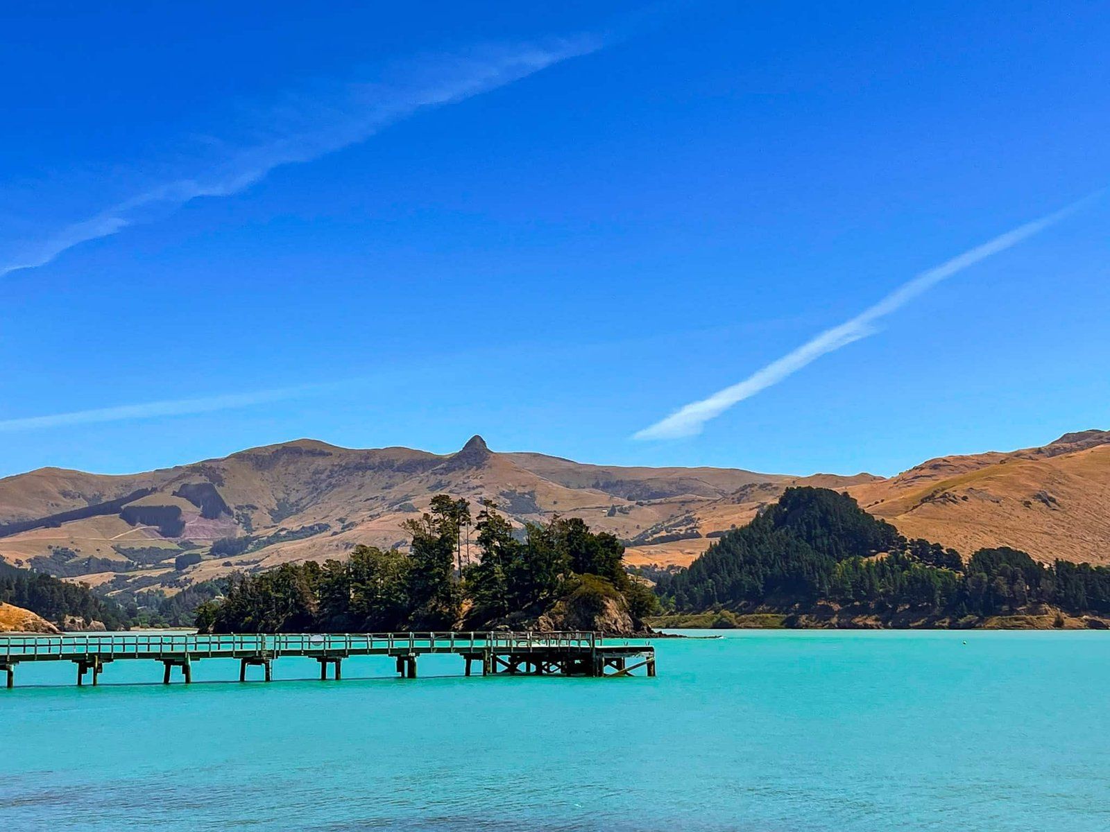
Drive north on the bay's east side to the historic wharf, with car parks and picnic tables. In the 1840s, the first Anglican church in Canterbury was thought to have been built at the end of the reserve and a stone memorial marks the site. The charming current Anglican church was built in 1888.
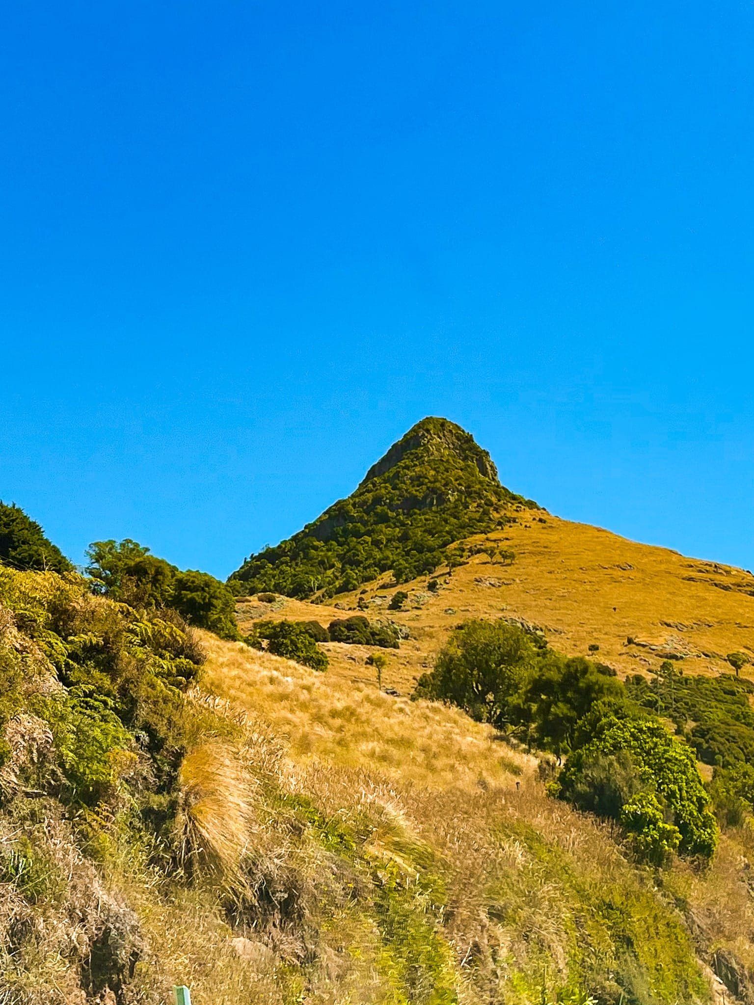
Port Levy (Potiriwi) / Koukourarata is also a good place to start a hiking trip. On the way to Diamond Harbour, you can access a series of connected tracks to the 919-meter-high Mt Herbert / Te Ahi Patiki from Port Levy Purau Road.