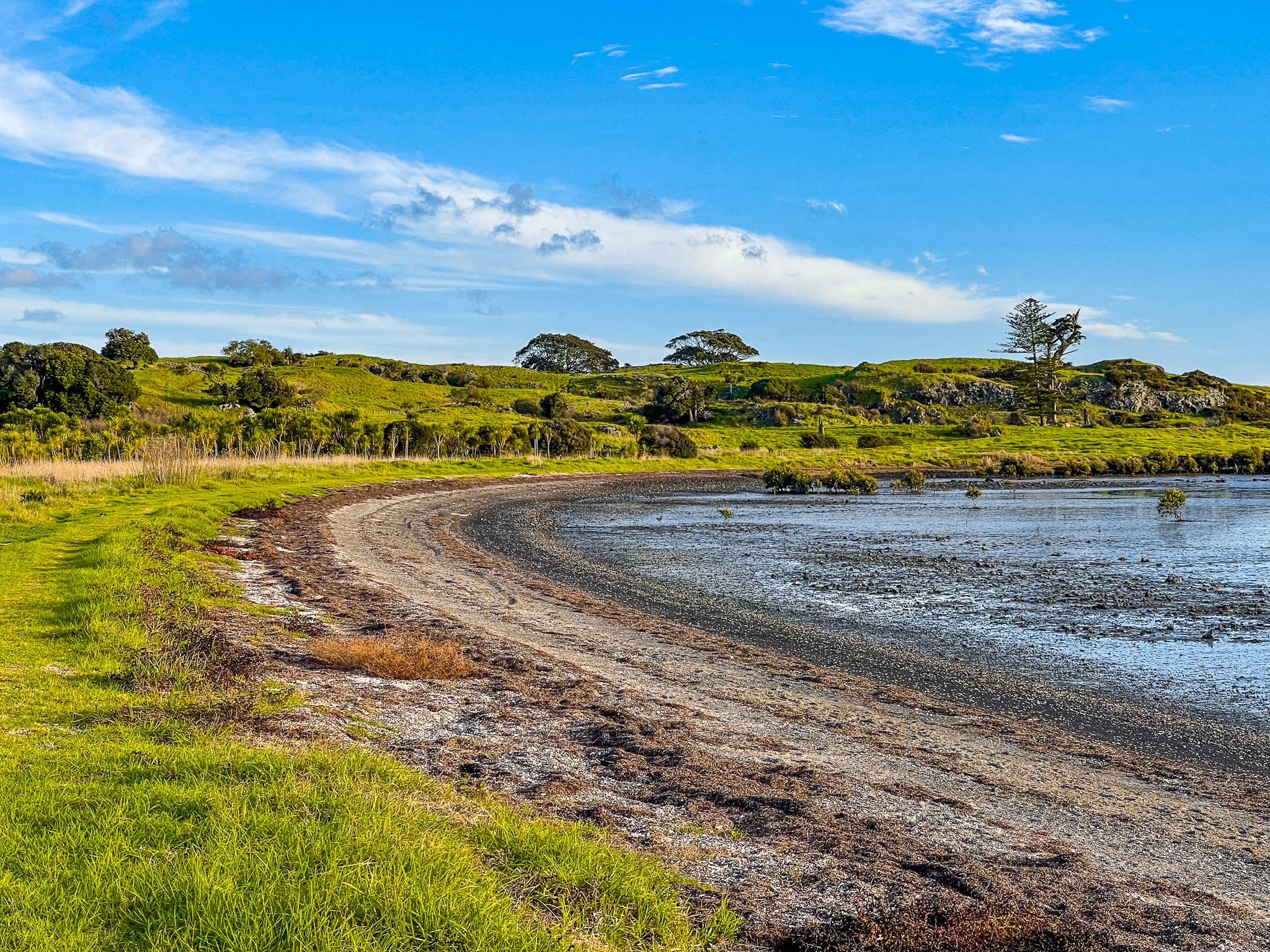
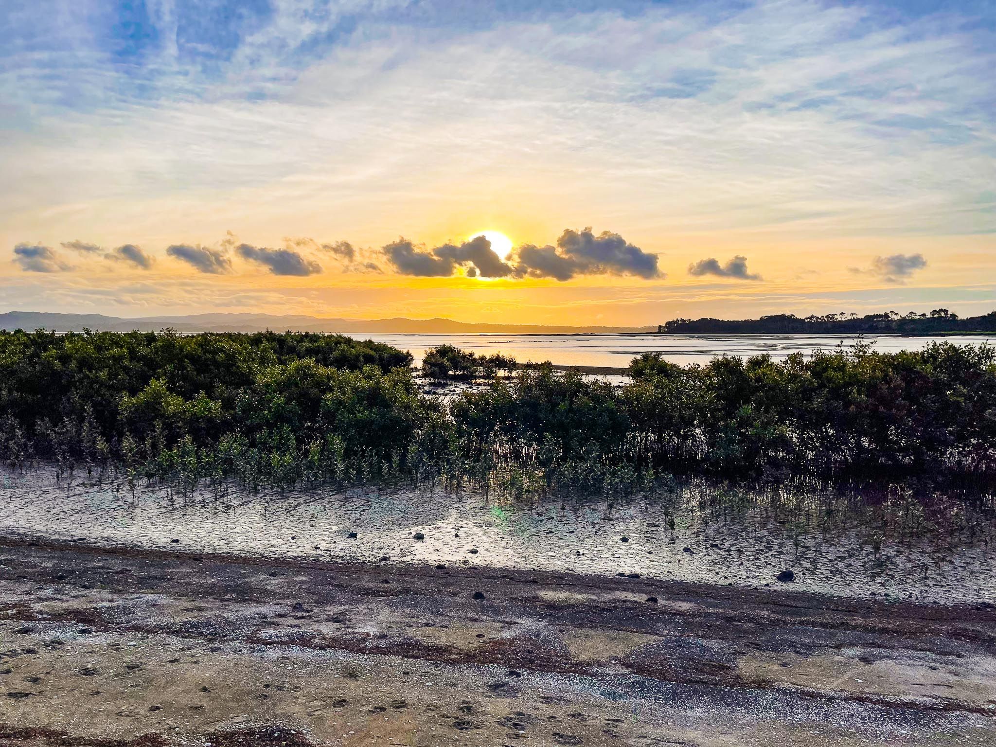
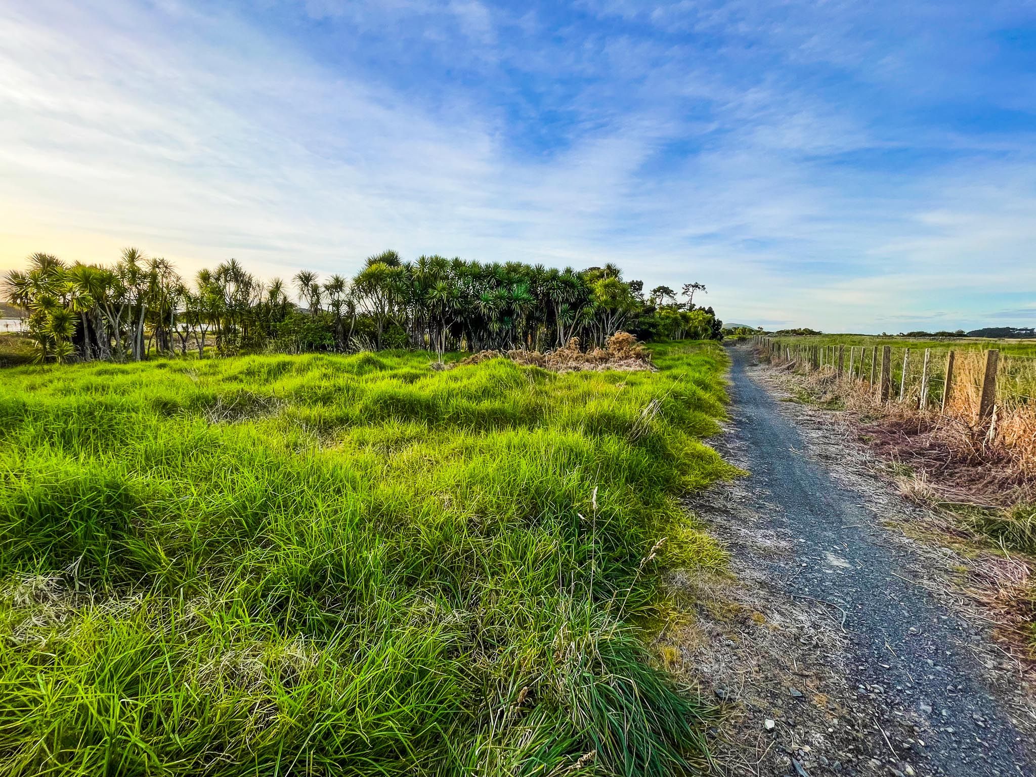
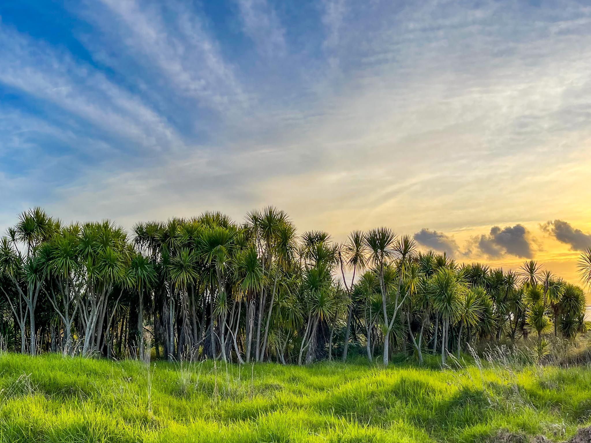
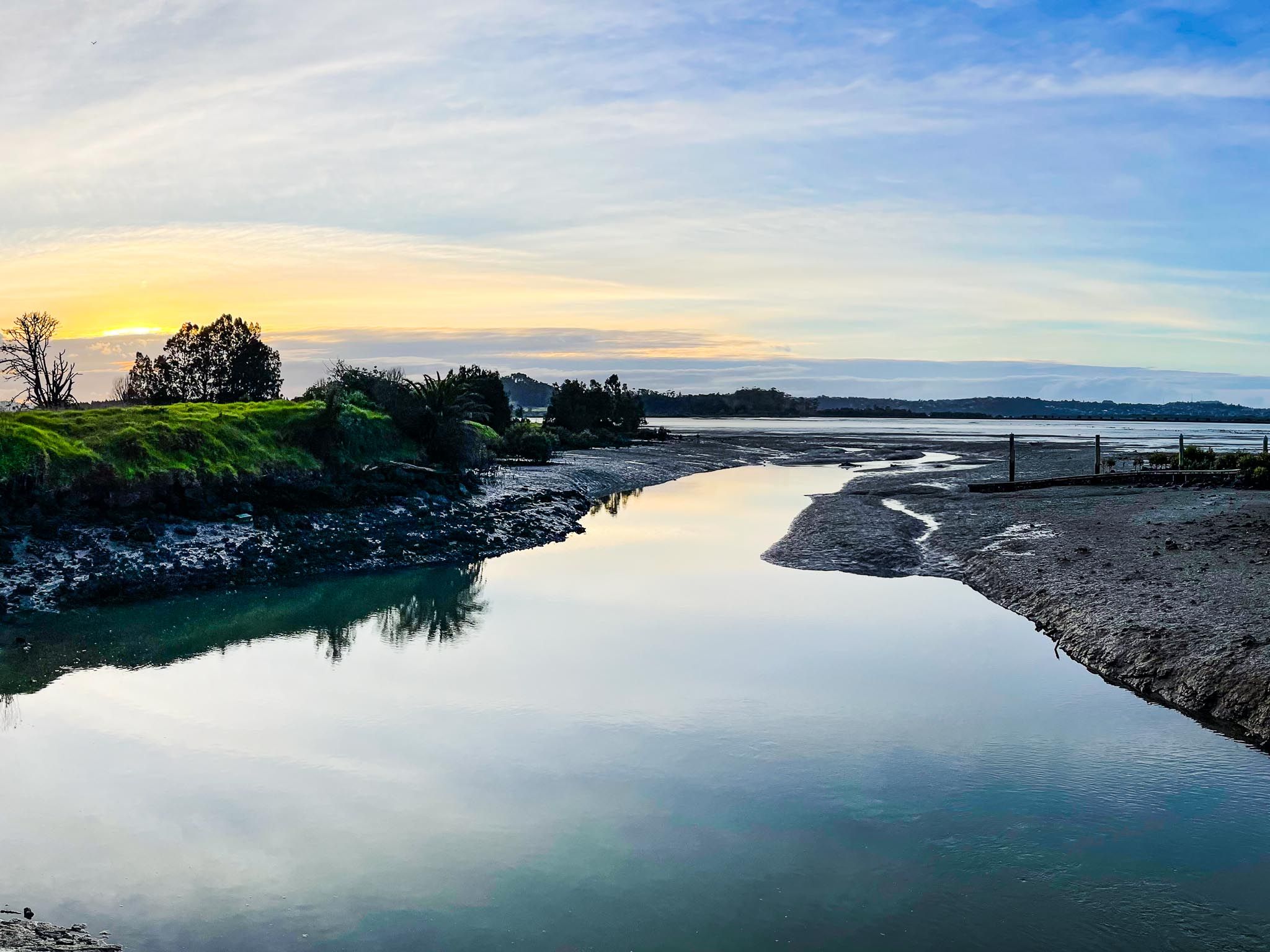
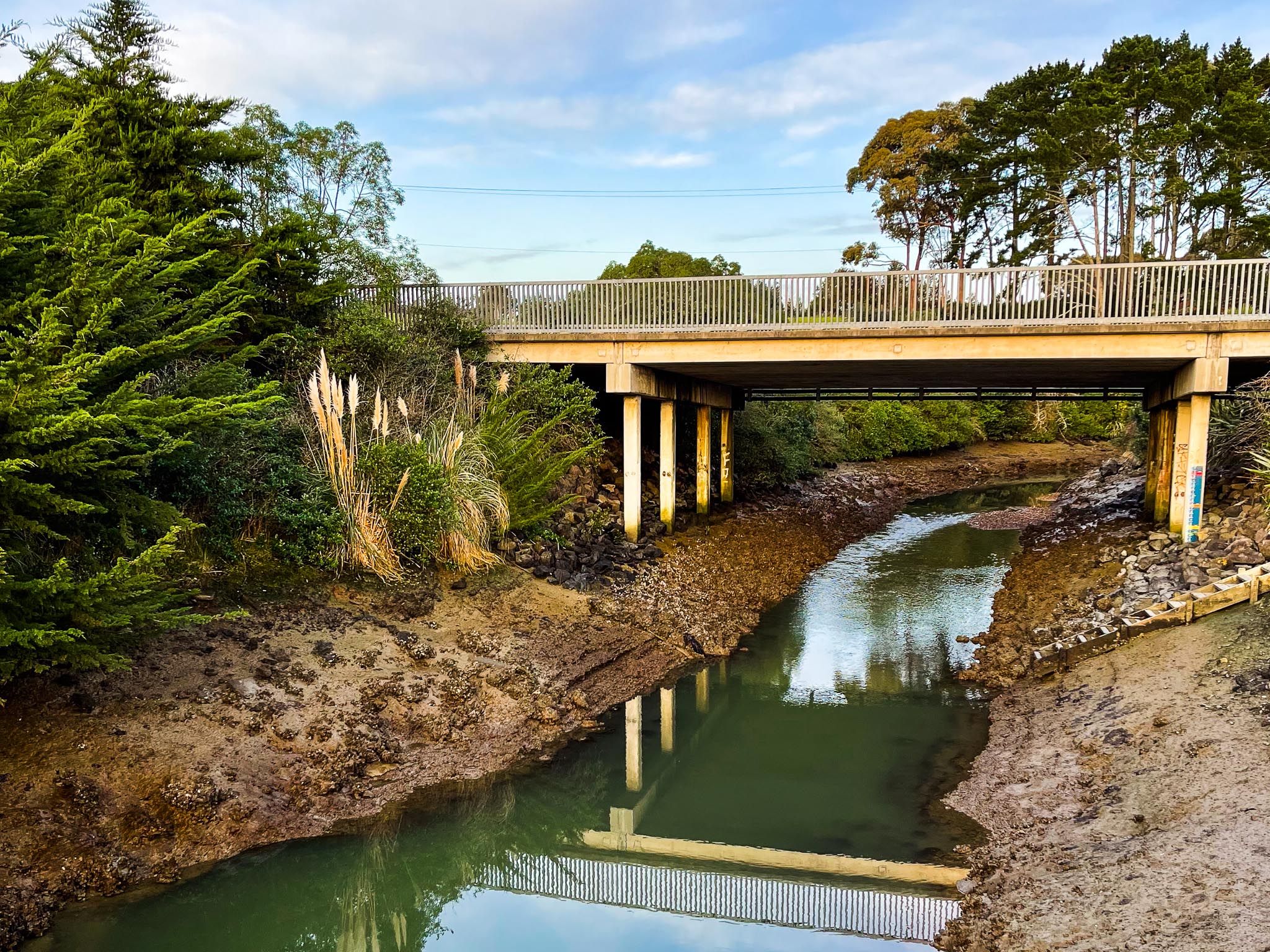
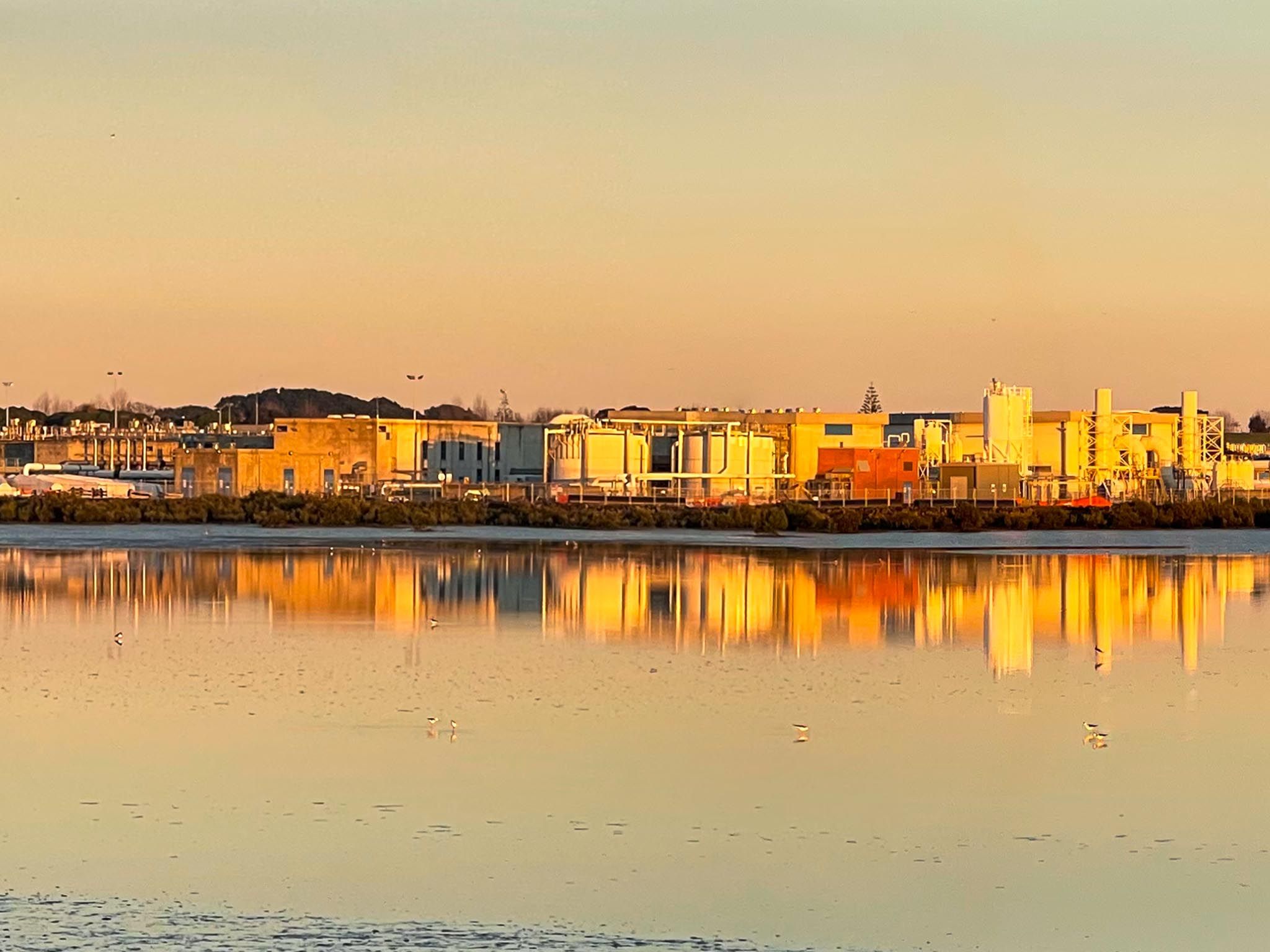
The Watercare Coastal Walkway is a 7 km shared walking and cycling path in the Auckland suburb of Māngere, following the edge of the Manukau Harbour between Ambury Regional Park and the Ōtuataua Stonefields Historic Reserve. It’s a unique journey through one of the country’s most ambitious urban ecological restoration projects. Designed and built by Watercare as part of the decommissioning of the old oxidation ponds and coastal sewage management infrastructure, the path offers sweeping views, wildlife, and connections to some of Tāmaki Makaurau’s most culturally and ecologically significant sites.
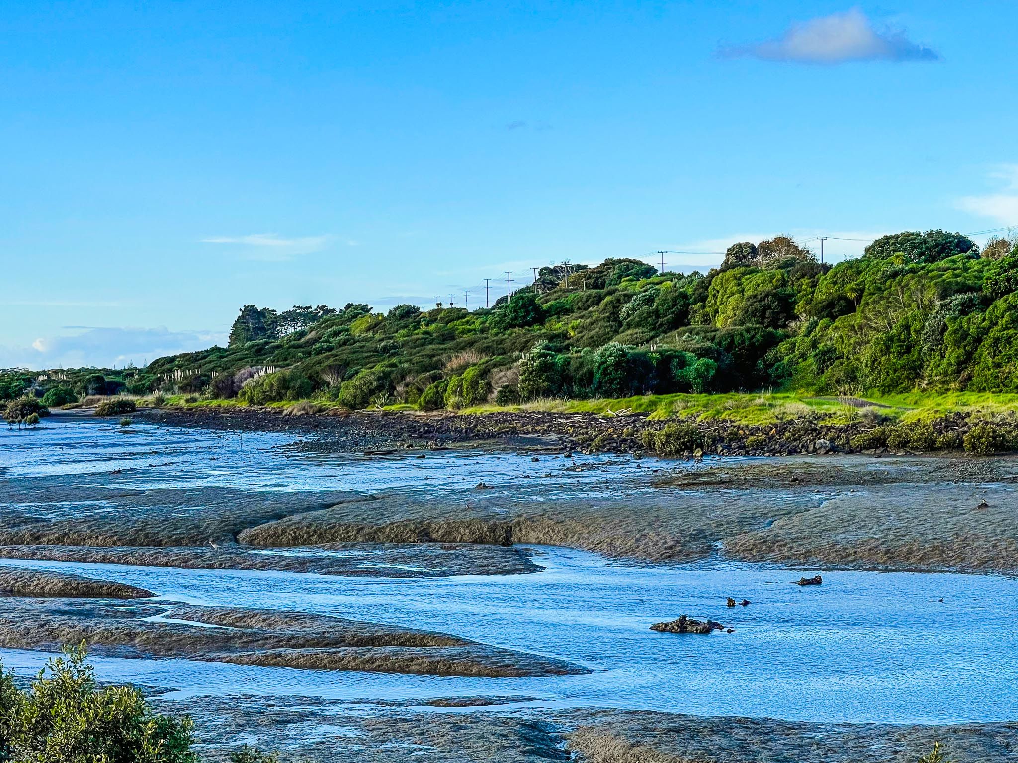
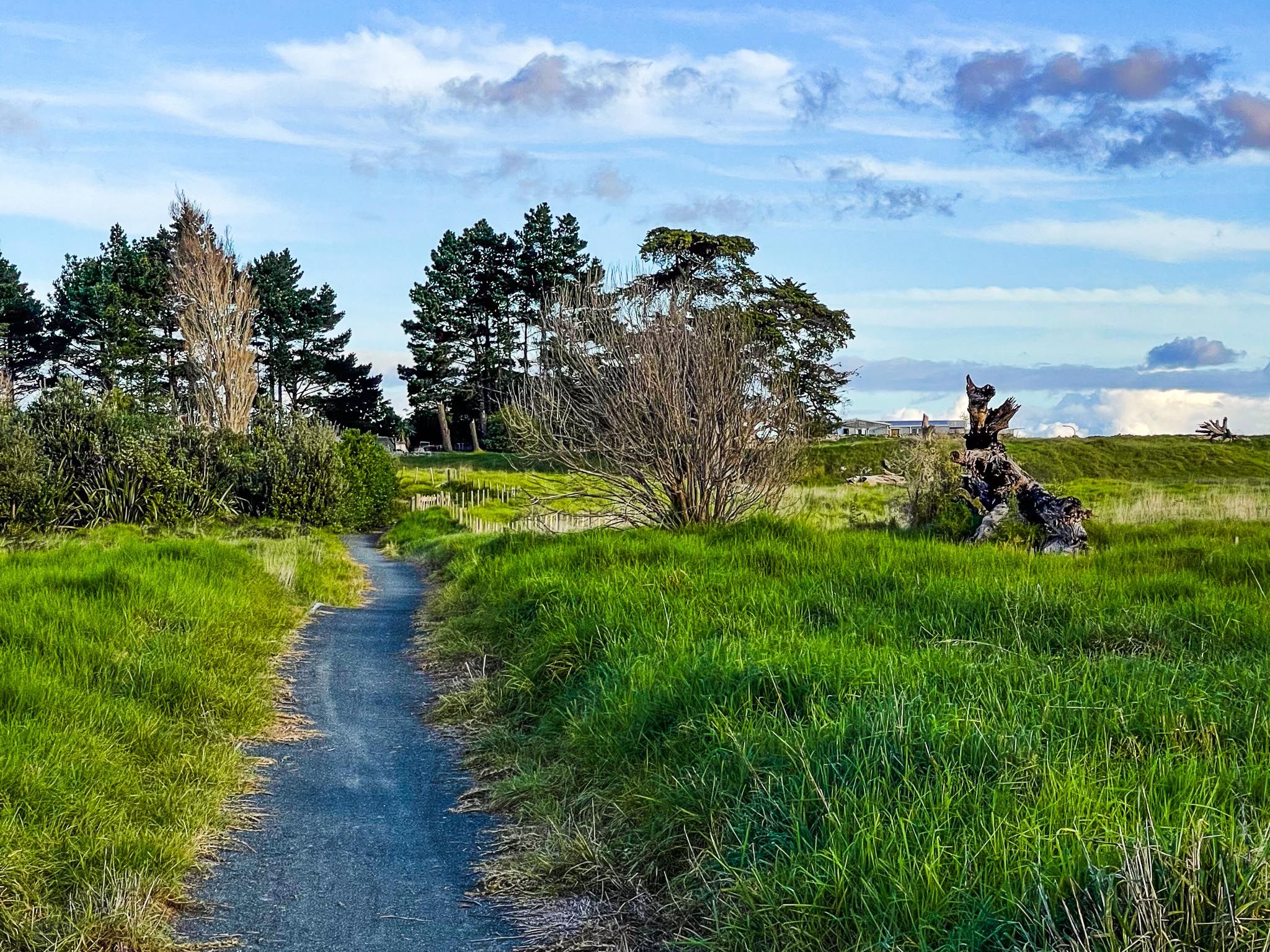
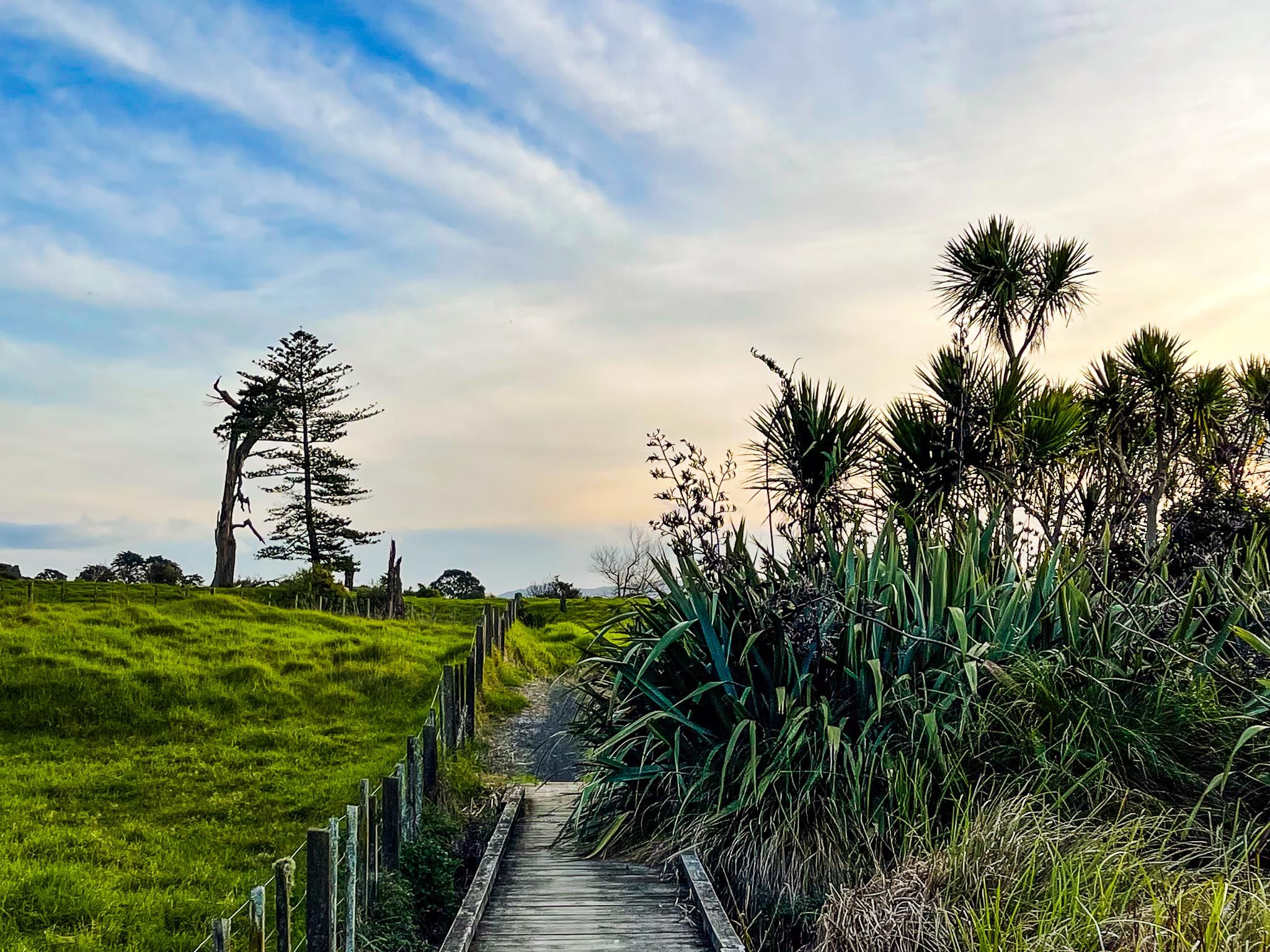
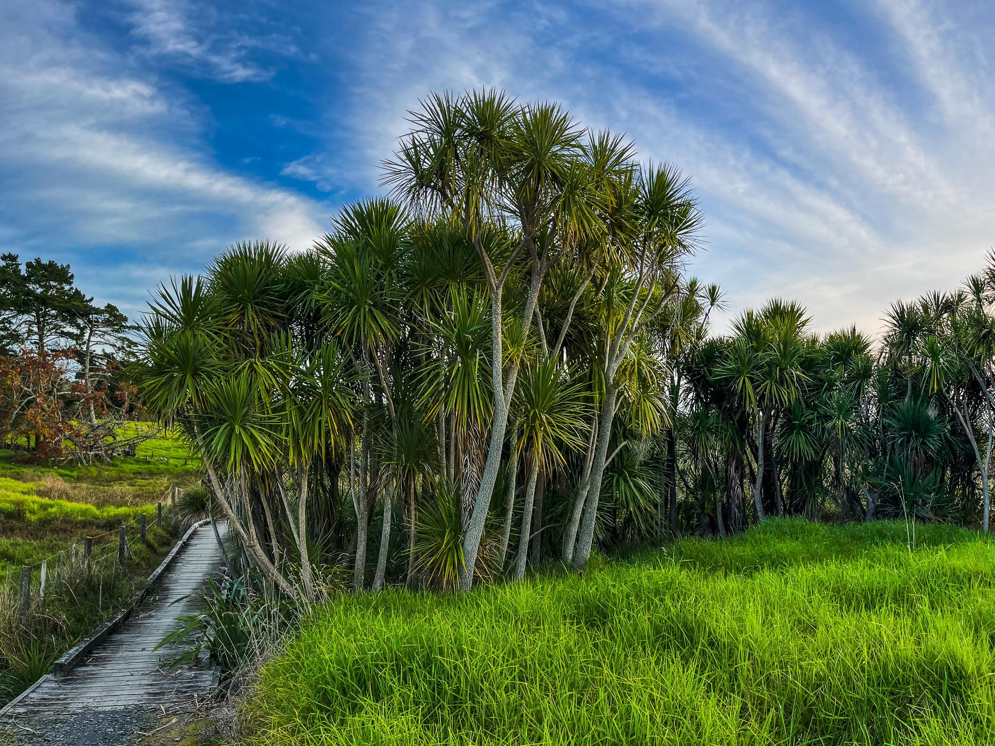
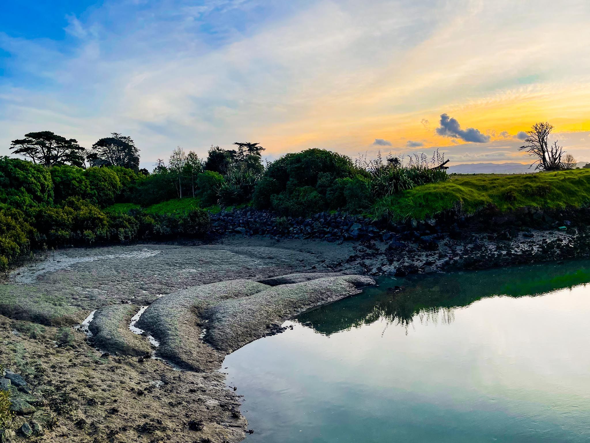
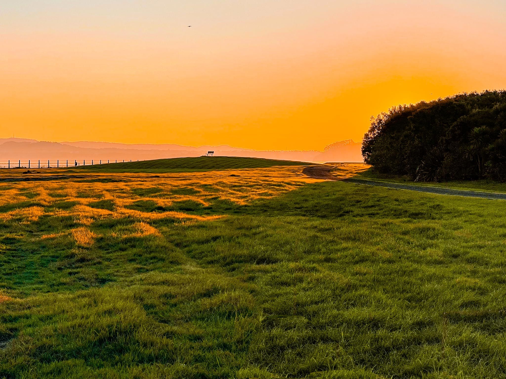
The northern entrance to the walkway begins at Ambury Regional Park. From here, the path heads south along a flat and well-formed gravel surface, ideal for both casual walkers and cyclists. You’ll immediately notice how the land transitions from the pasture of the park to replanted coastal margins and wetland zones. More than 300,000 native trees and shrubs have been planted along the walkway corridor, creating new habitats that support native birds and plant species.
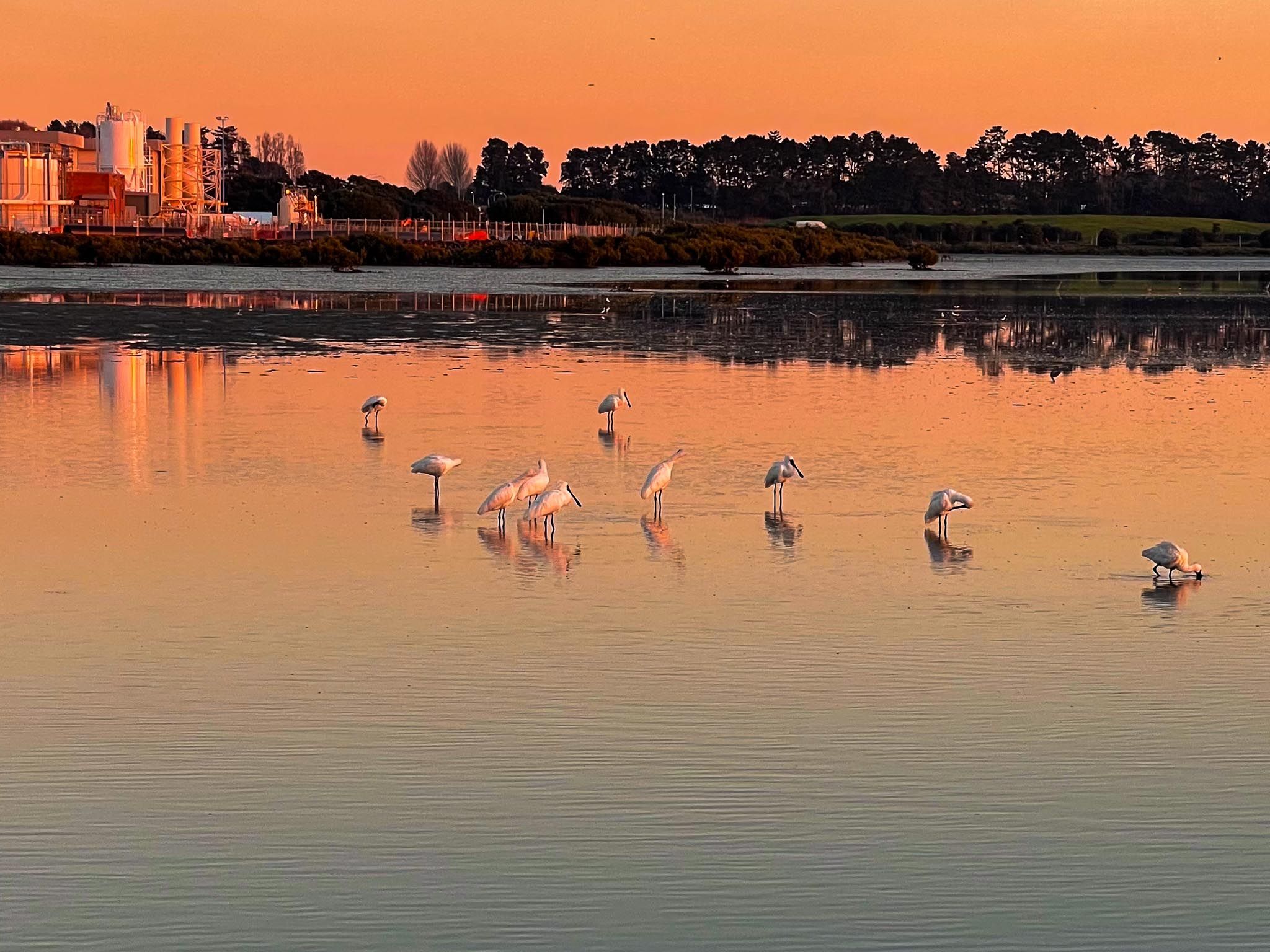
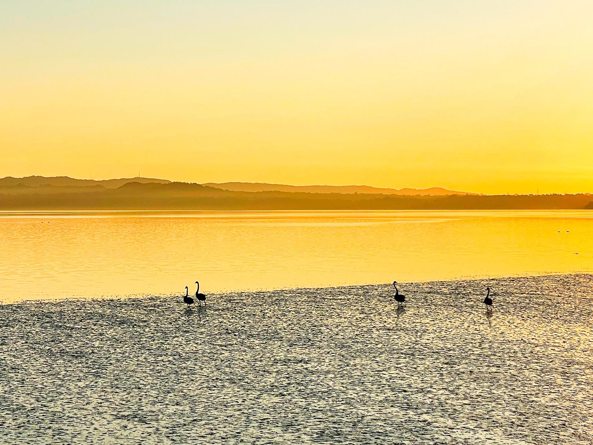
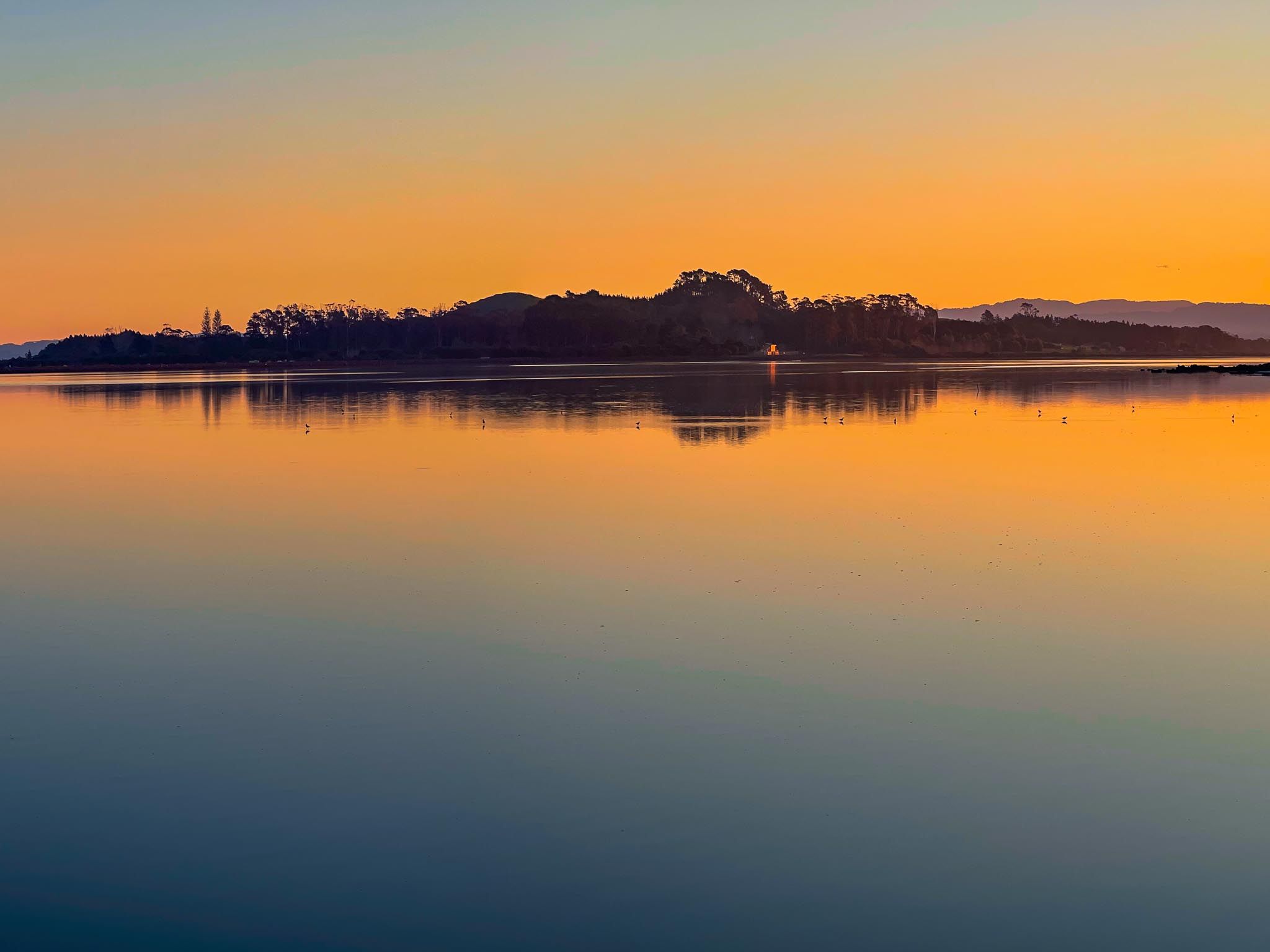
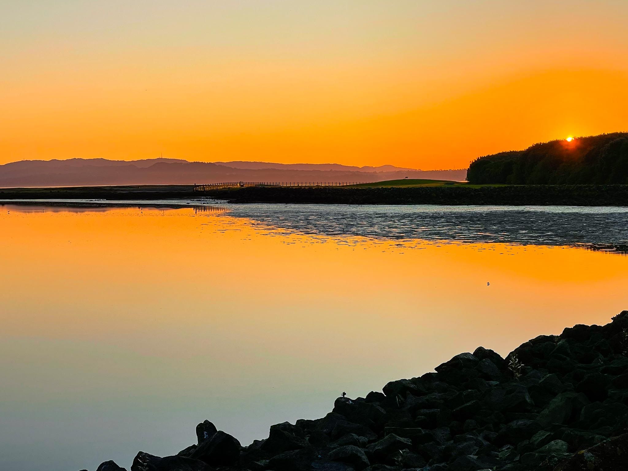
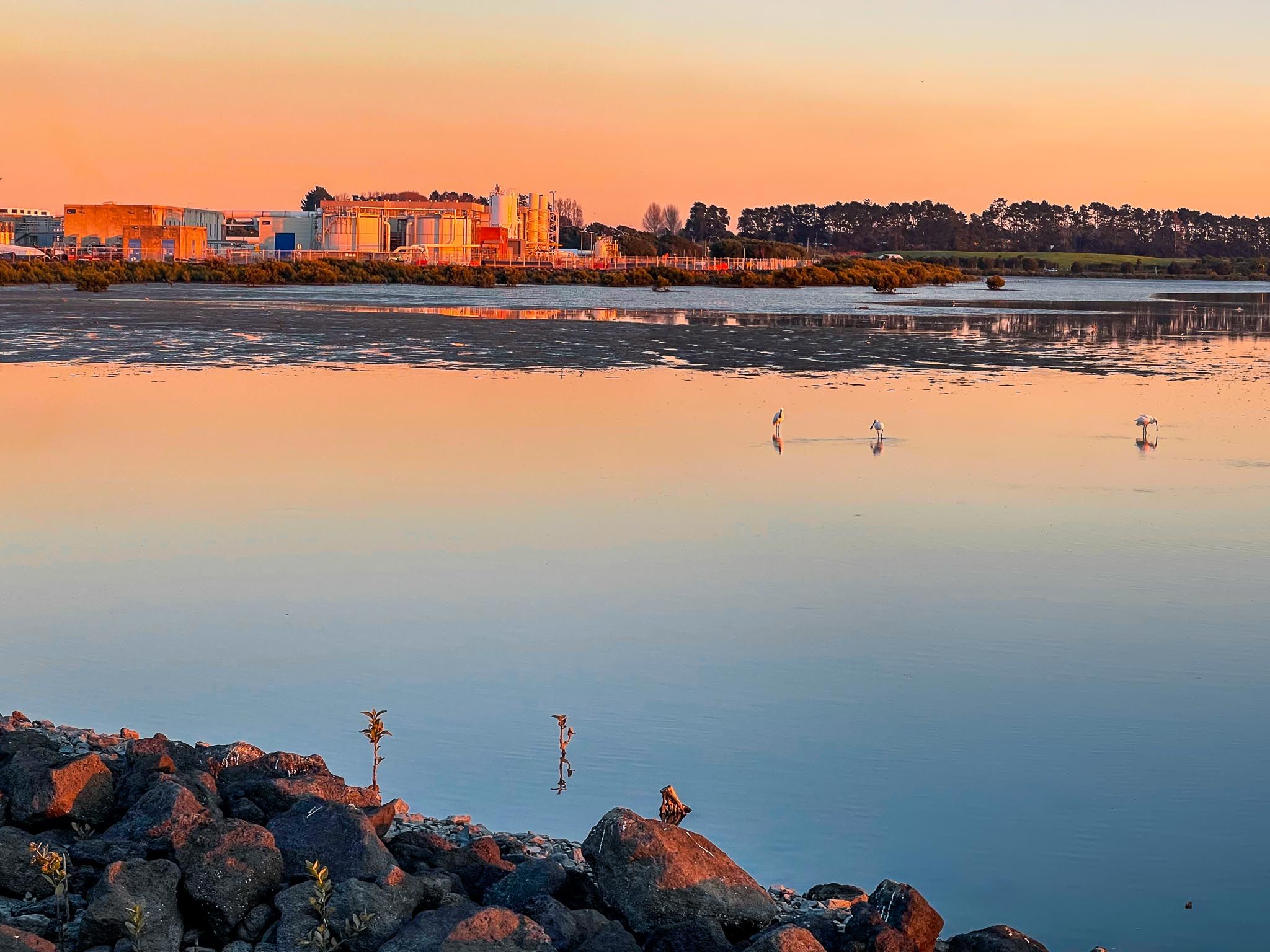
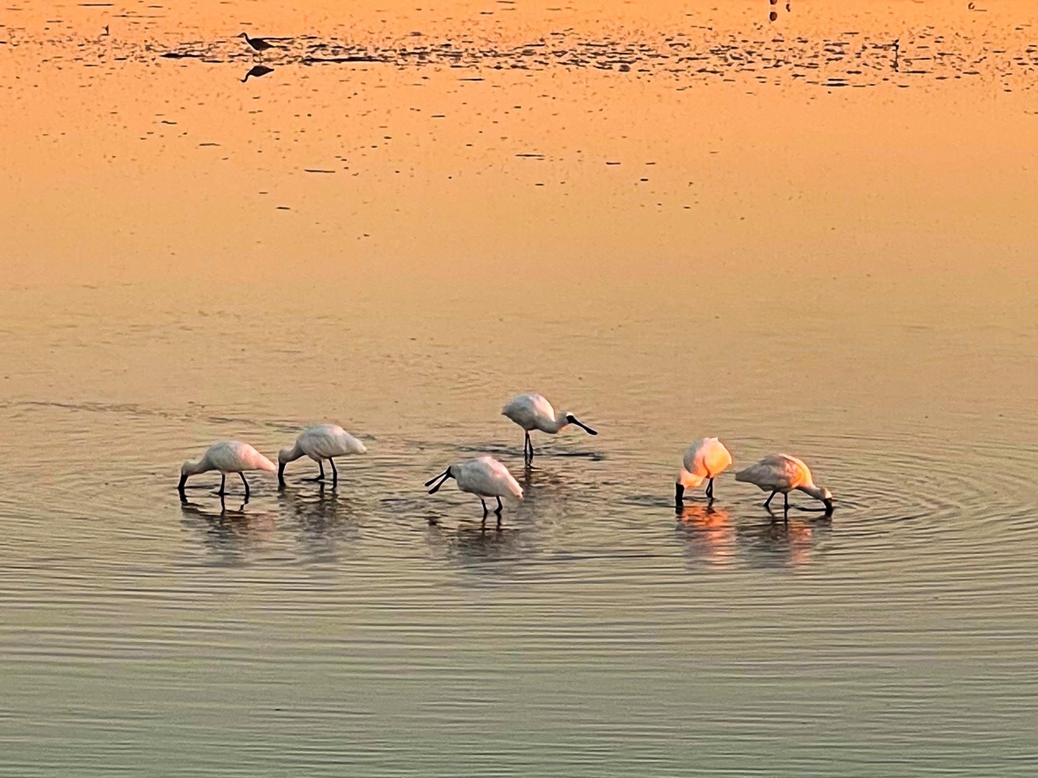
Much of the route hugs the harbour’s edge, and several viewing decks and rest areas allow you to pause and look across the tidal flats. As the tide moves in and out, the mudflats teem with wading birds. Royal spoonbills / kōtuku ngutupapa, tōrea / oystercatchers and kuaka / godwits are common sightings.
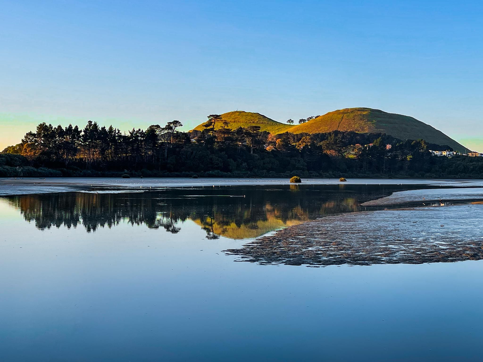
A short detour east off the main path takes you to Māngere Lagoon, a large tidal lagoon formed within a volcanic crater. Once part of the old wastewater system, the lagoon was rehabilitated as a functioning natural wetland, and it is one of the most successful examples of wetland rewilding in urban New Zealand.
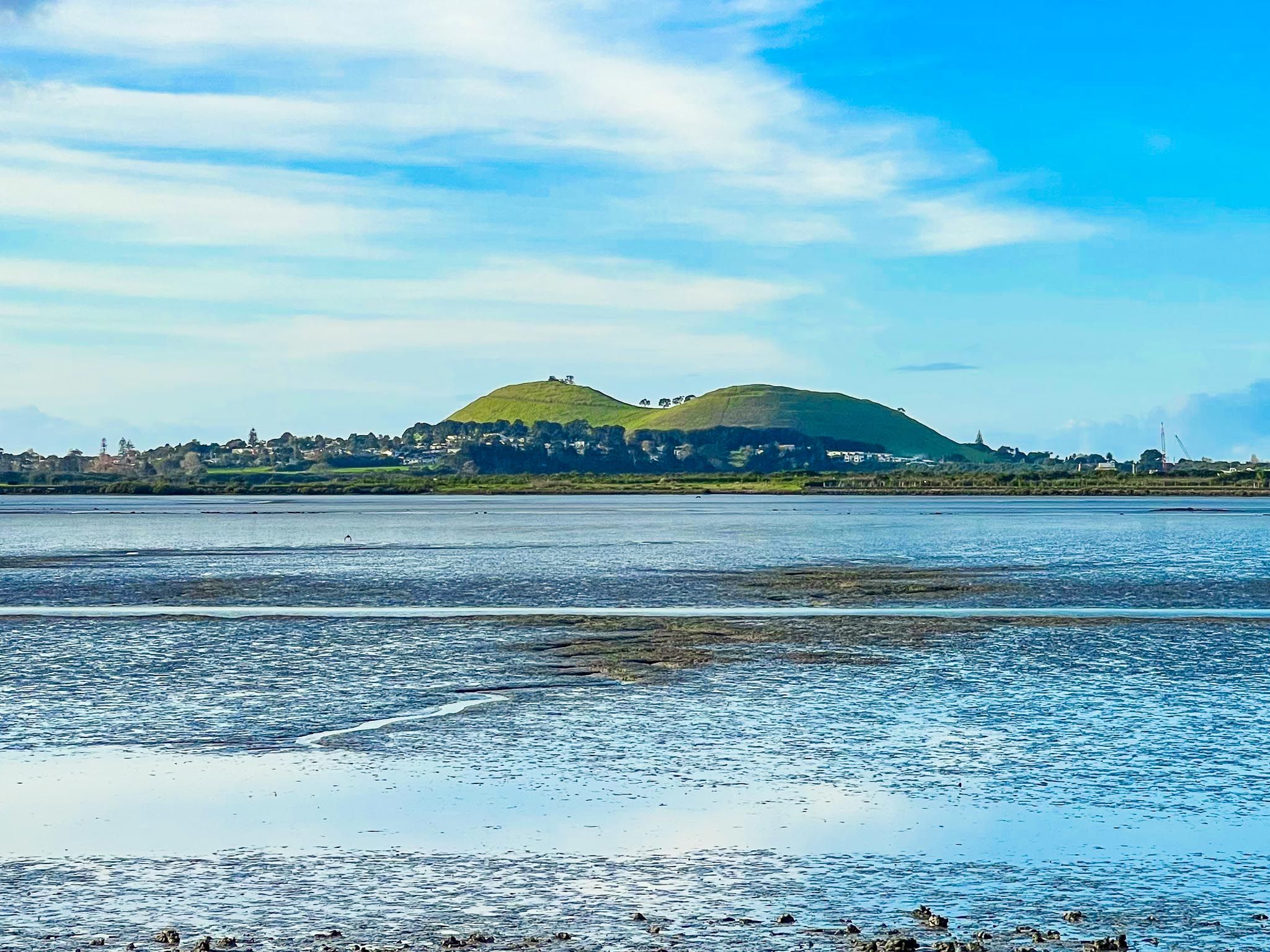
Heading south, Puketutu Island comes into view. It was once severed from the mainland by tidal flats but is now connected by a causeway, initially built to contain wastewater and now rich in birds. The island itself holds immense cultural significance for mana whenua and is undergoing long-term restoration.
The path rejoins the main coastal route just south of the lagoon, where it continues through open grassland and low-growing native bush. You’ll notice fewer people as you head further south, giving this section a quiet, almost remote feel, despite being within Auckland city limits. This area is also a good place to pause and look for larger flocks of seabirds, particularly during spring and summer when migratory species return.
The southern end of the path terminates at the Ōtuataua Stonefields Historic Reserve, one of Auckland’s most significant archaeological and cultural sites. The reserve offers walking tracks (only) that loop around the historic stone field gardens and volcanic cones, providing insight into early Māori settlement and horticulture.
From this point, you can walk down Ihumatao Road to Maunga-taketake / Ellets Beach or Renton Road to Renton Beach, or return north the way you came.
The northern access to the walk is located at the end of Ambury Road, near the main entrance to Ambury Regional Park. The best southern access point is from Orurangi Road. There is also a shared track that runs north from the regional park entrance, connecting with Kiwi Esplanade for a longer tour of the coast.
