Exploring Ambury Regional Park's Diverse Landscapes
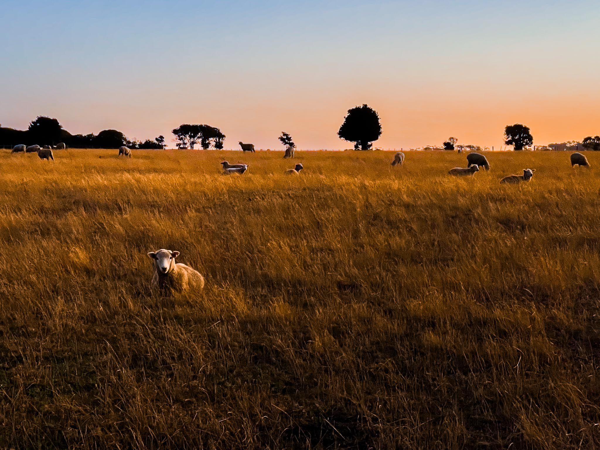
Located just west of Māngere Bridge village, Ambury Regional Park spans 85 hectares along the Manukau Harbour. This Auckland regional park combines open farmland, coastal trails, and volcanic landscapes. Here, you can walk among grazing sheep and cows on a working farm, observe migratory bird flocks, and explore unique lava flows and tidal inlets. The park also features a campsite for those wishing to extend their stay.
Volcanic and Agricultural Heritage
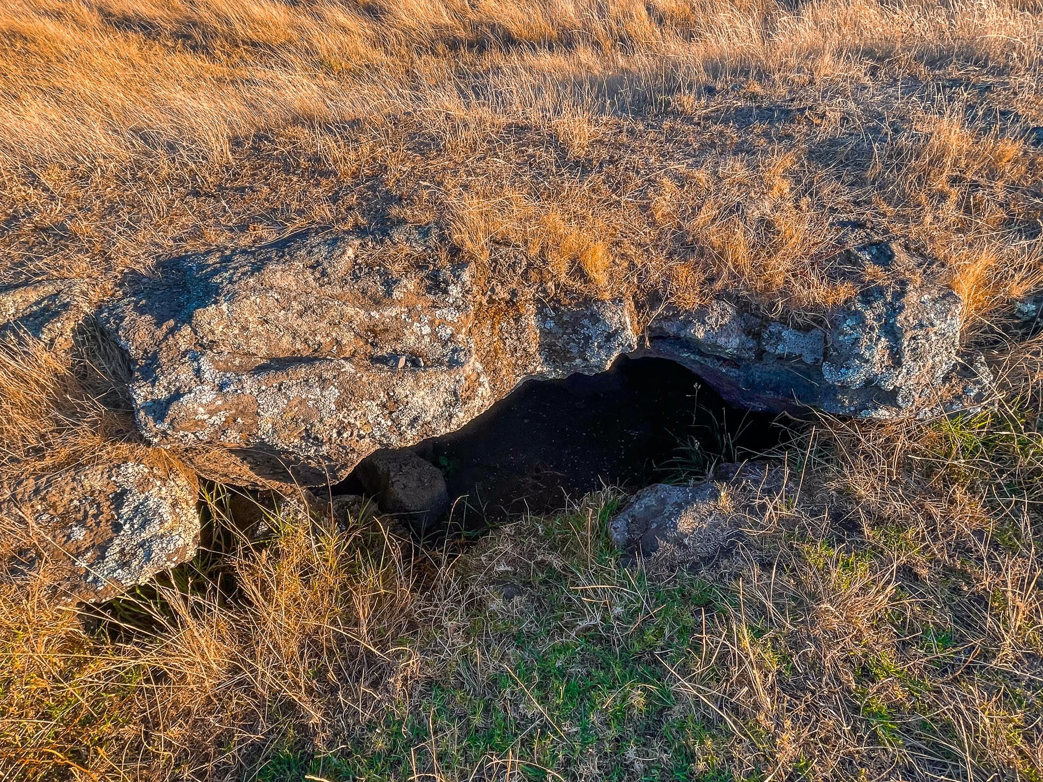
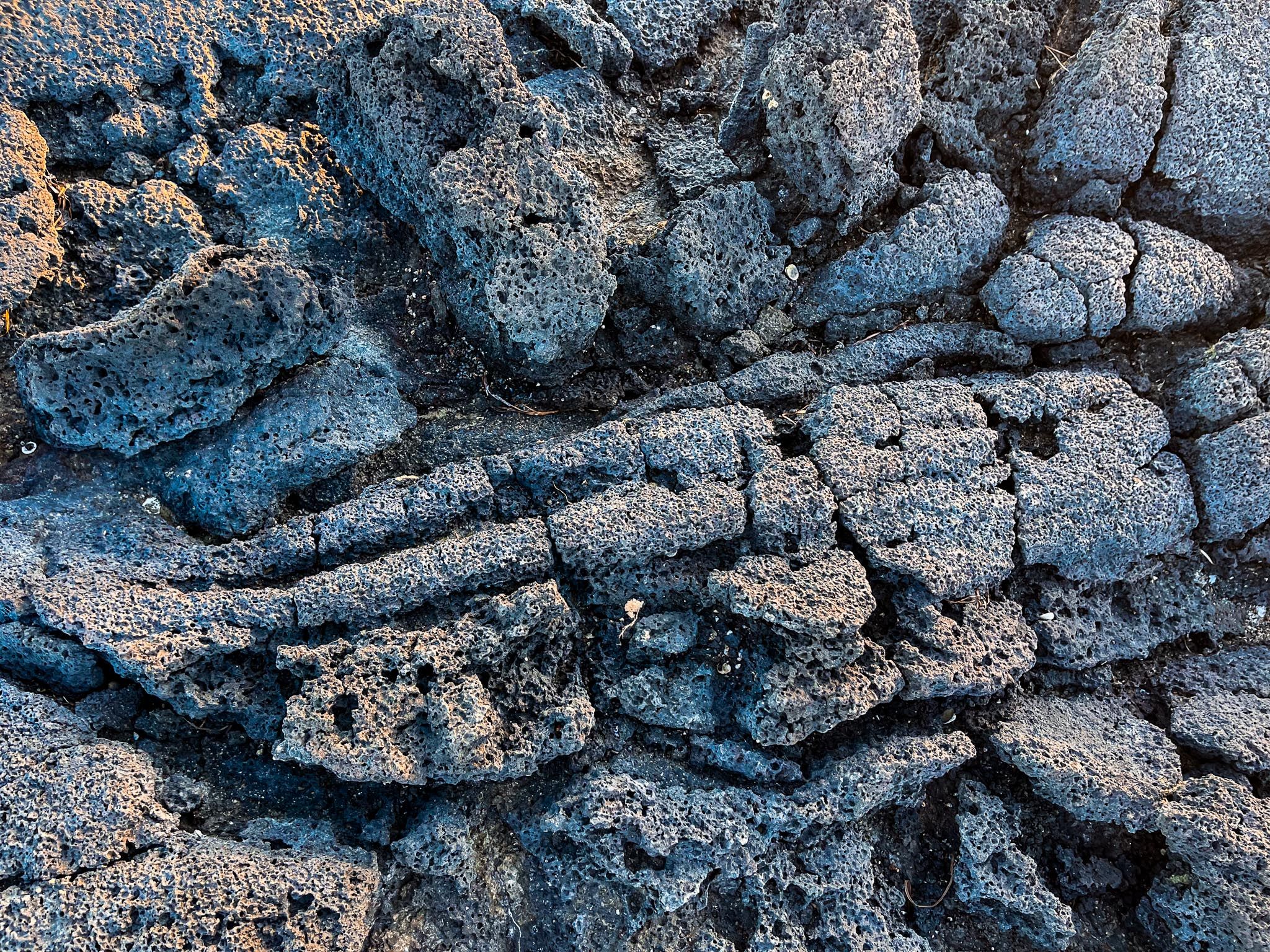
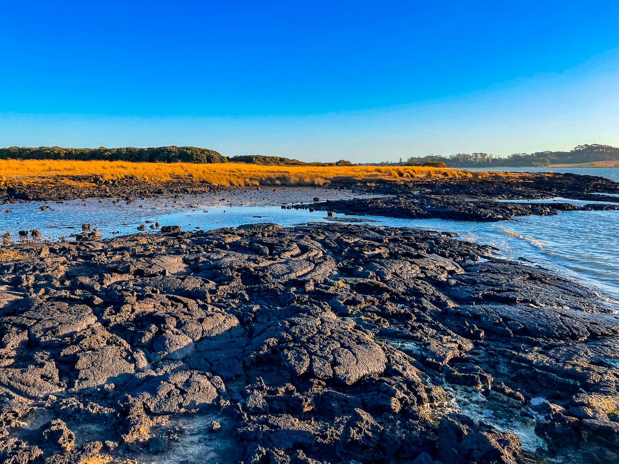
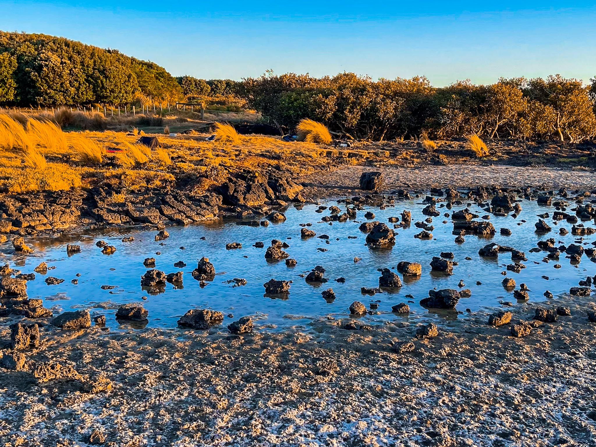
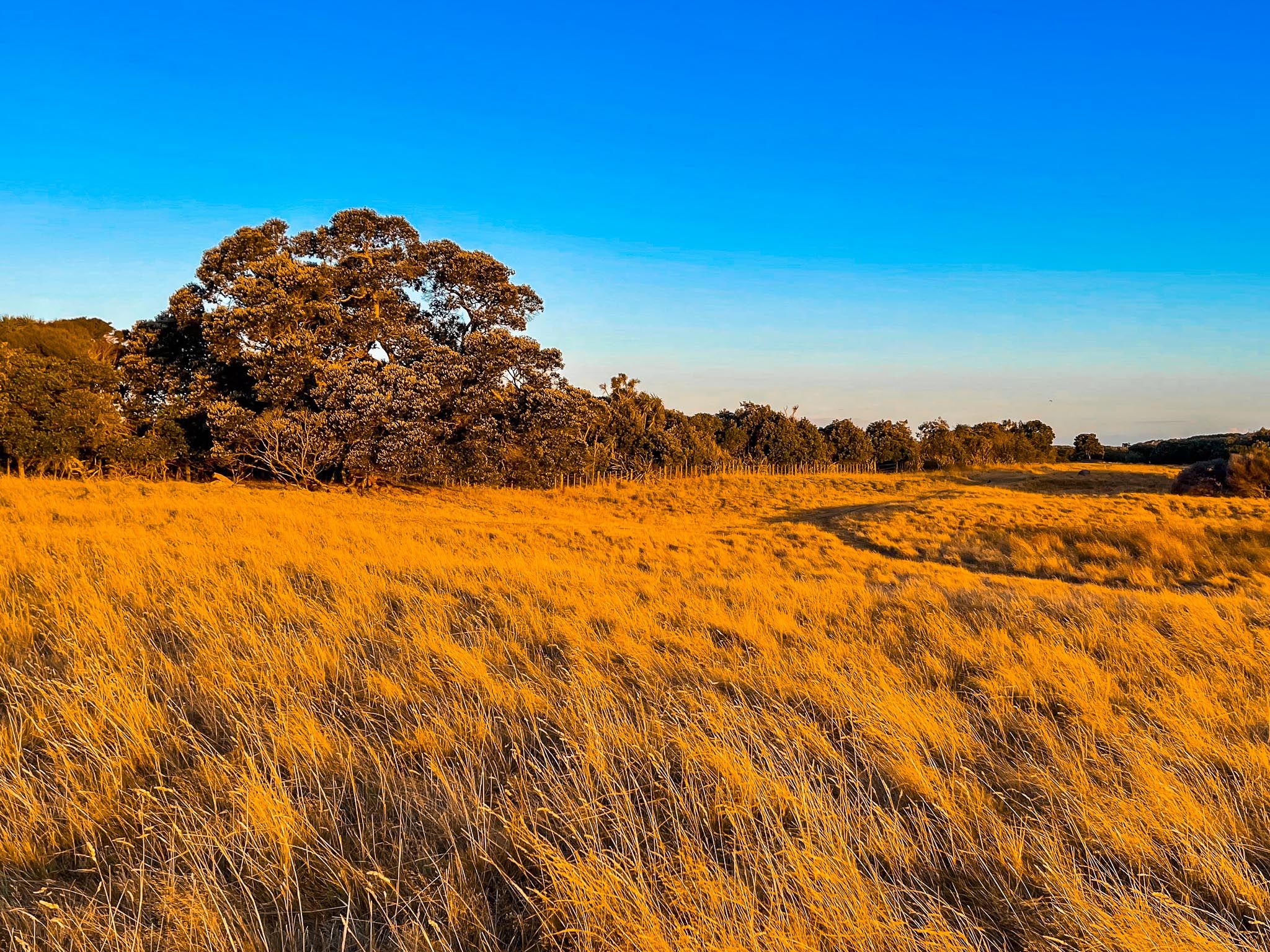
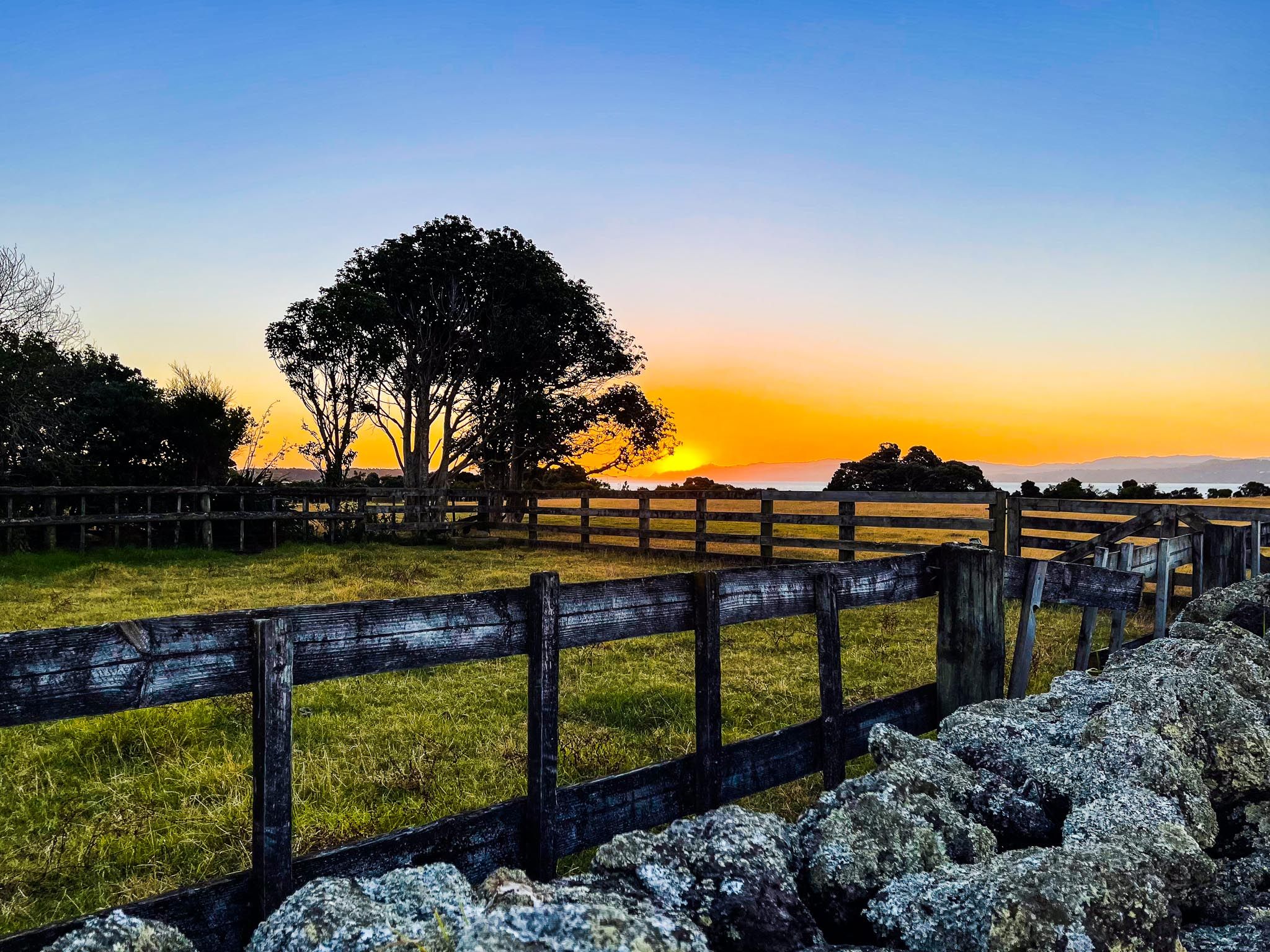
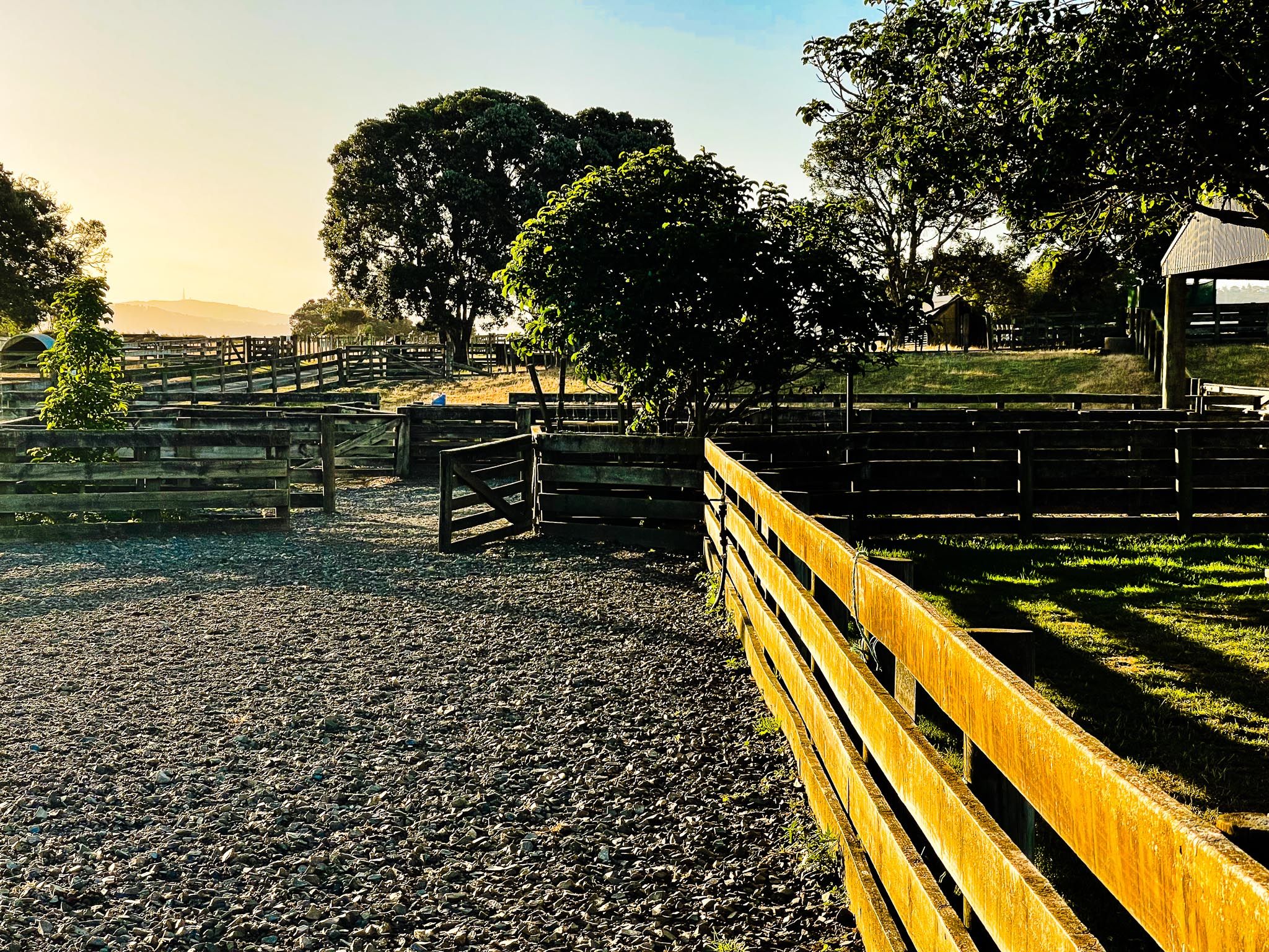
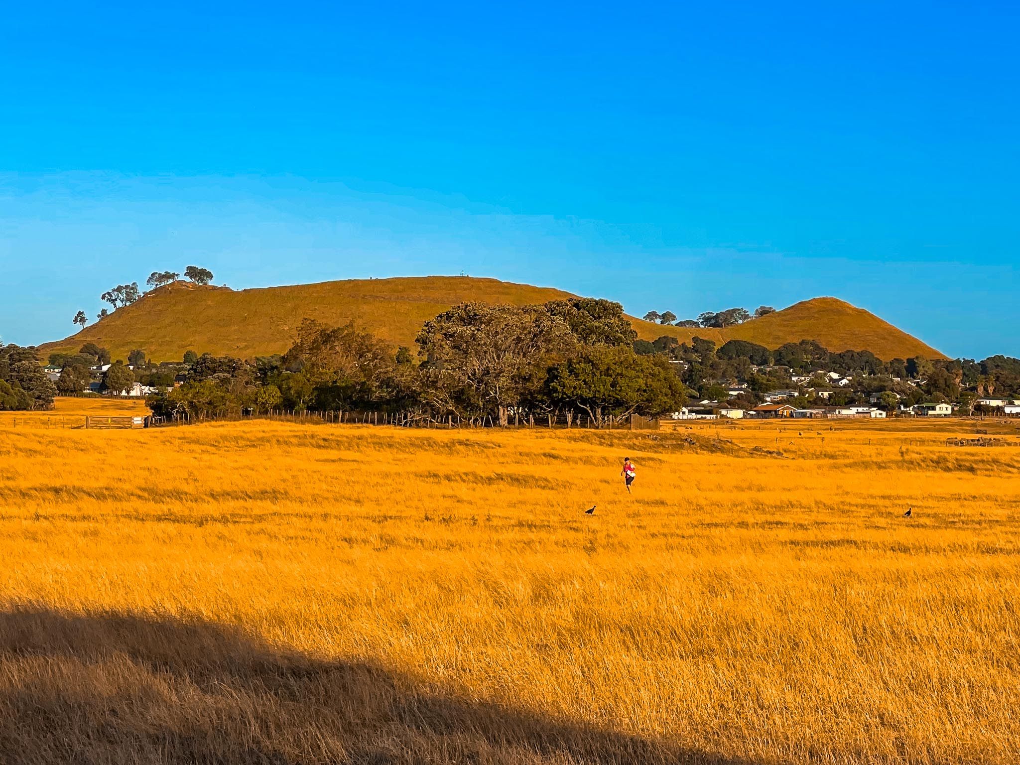
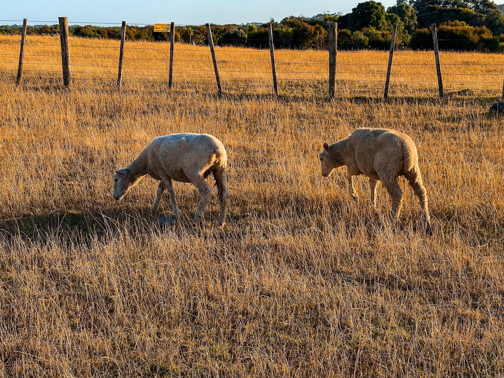
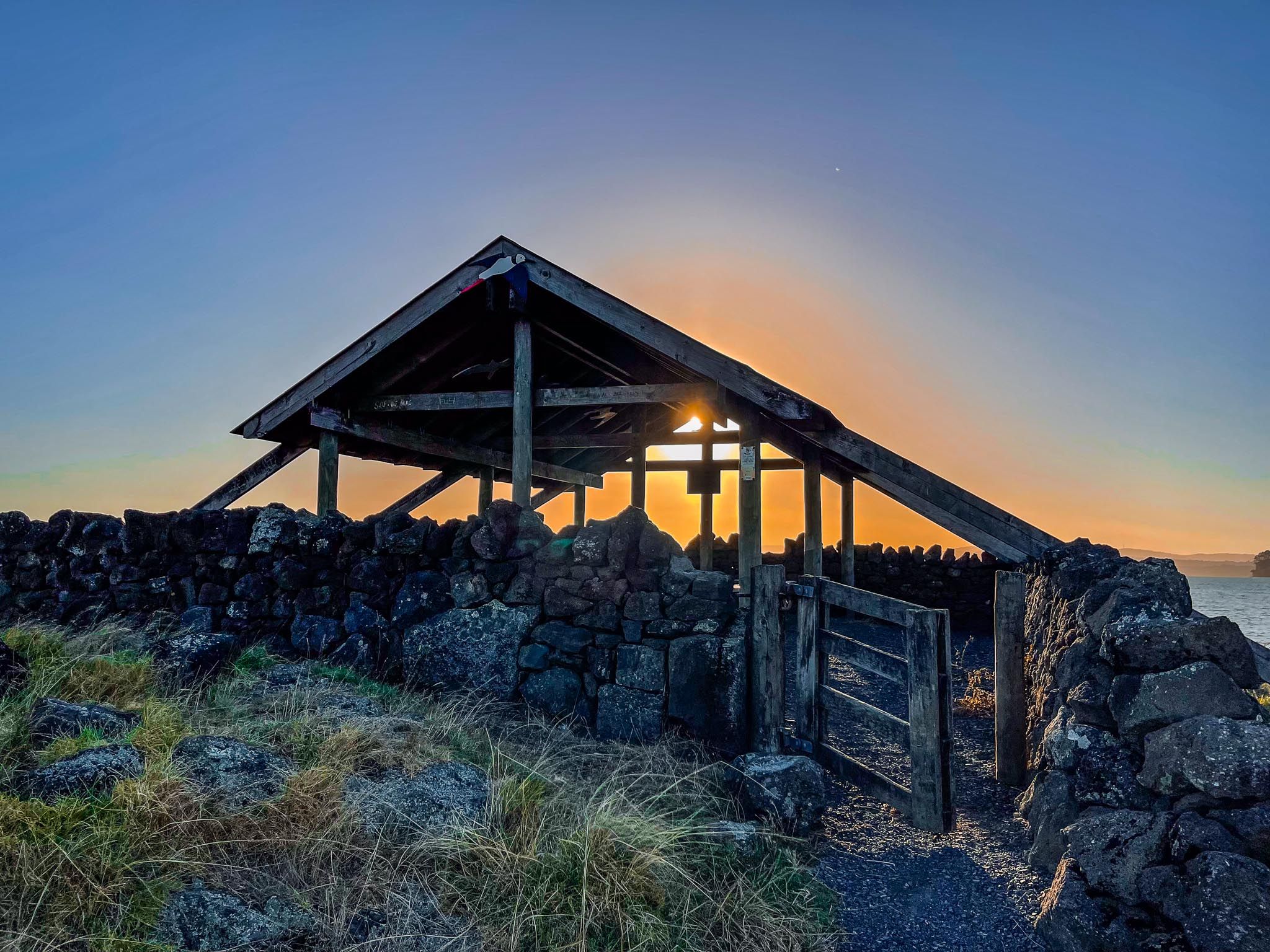
Ambury Regional Park is set on land shaped by lava from nearby Māngere Mountain, which erupted around 50,000 years ago. The park's landscape is primarily flat pastures, divided by dry-stone walls, hedgerows, and windbreaks. It provides a safe environment for families to interact with livestock. Seasonal events like lambing and farm days draw crowds, yet the park remains a tranquil retreat throughout the year.
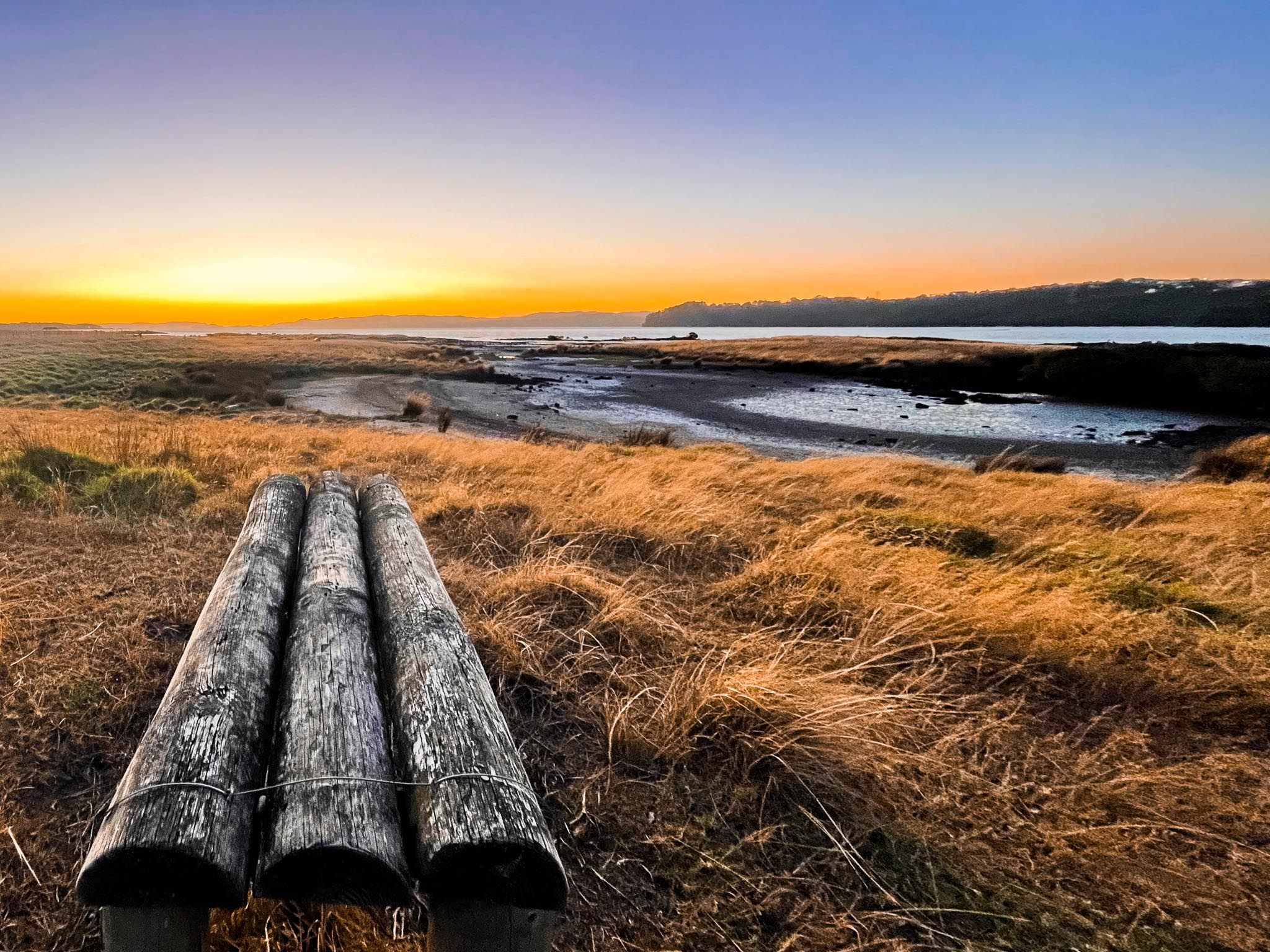
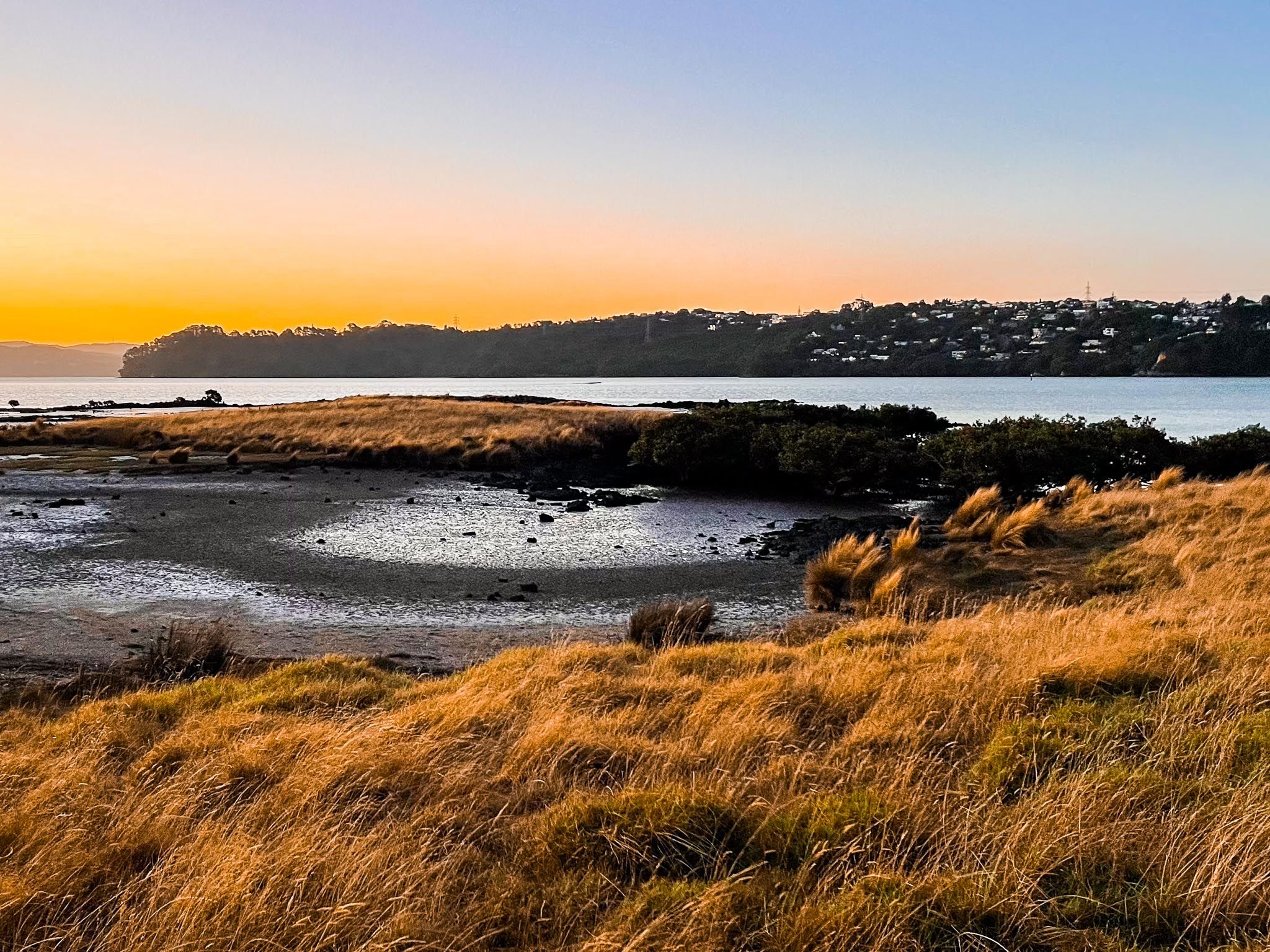
Coastal Trails and Birdwatching
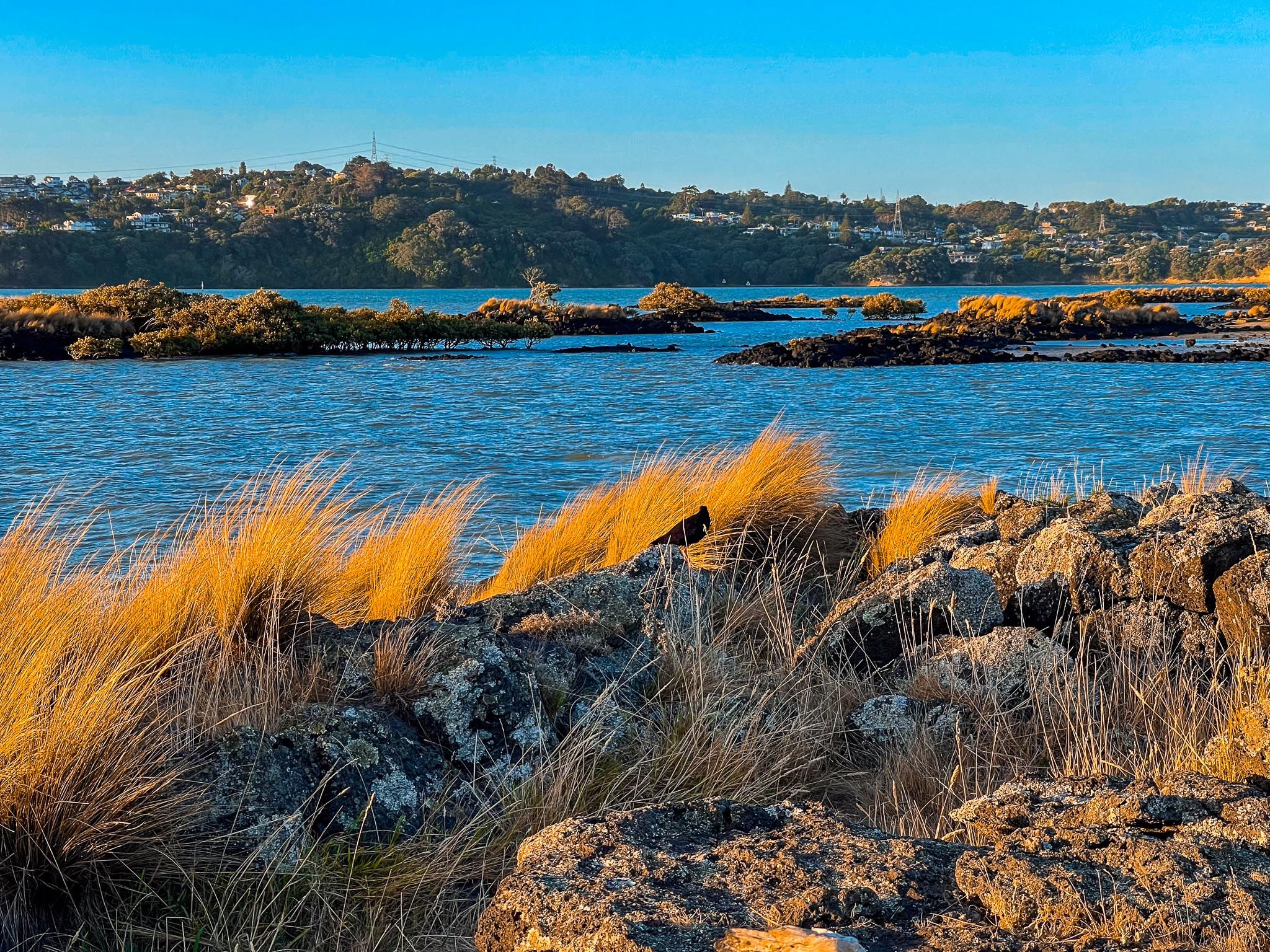
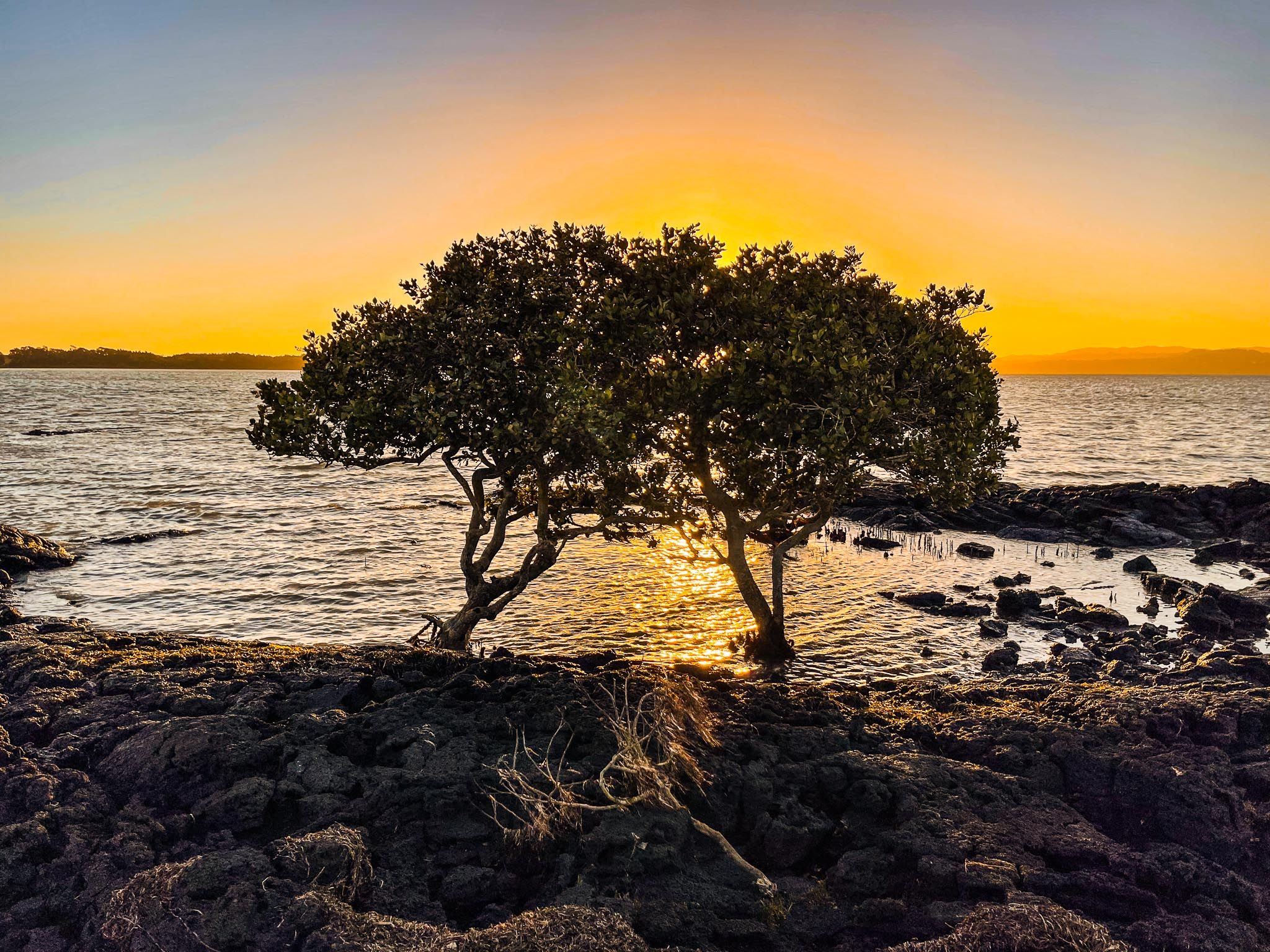
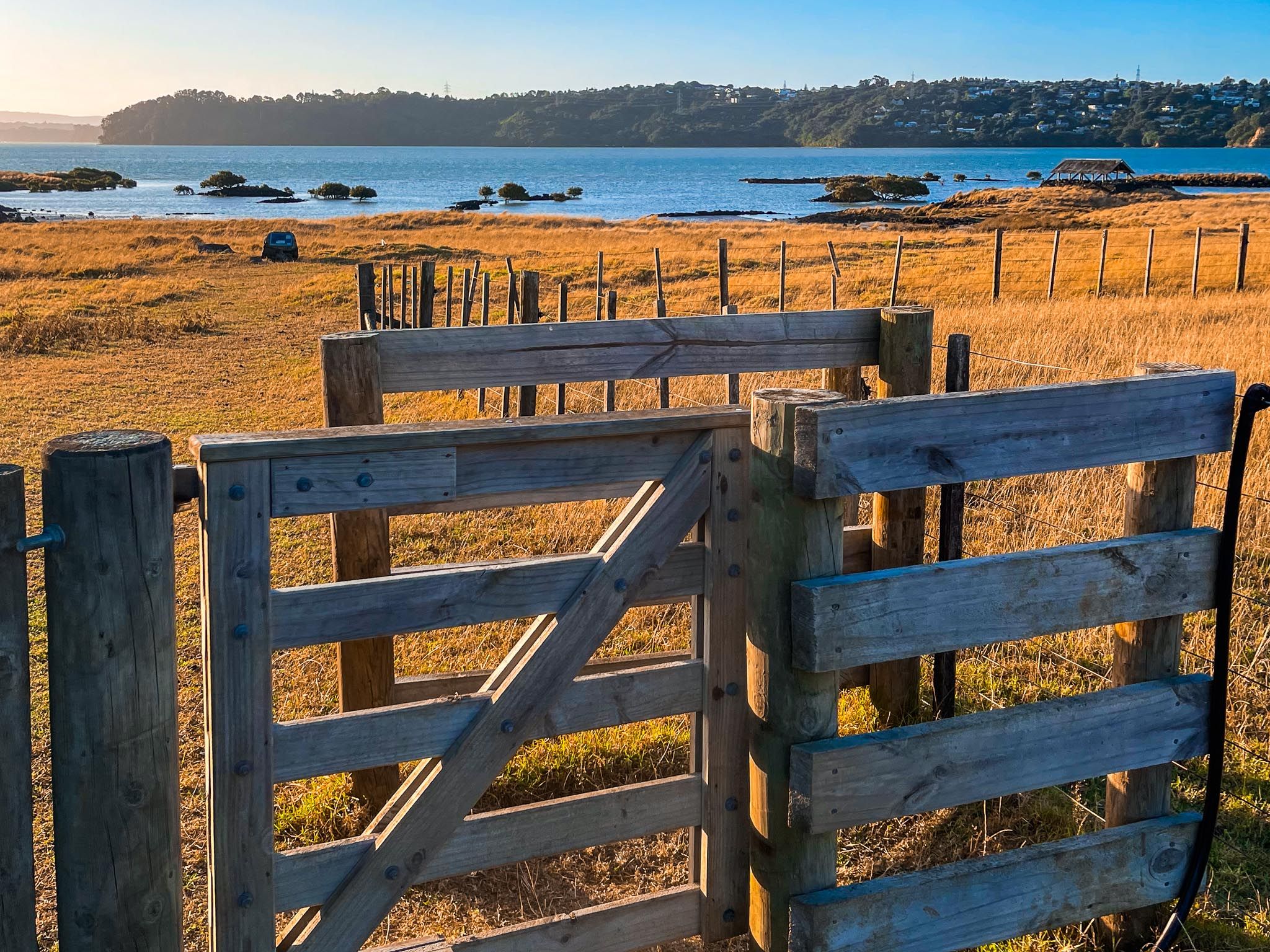
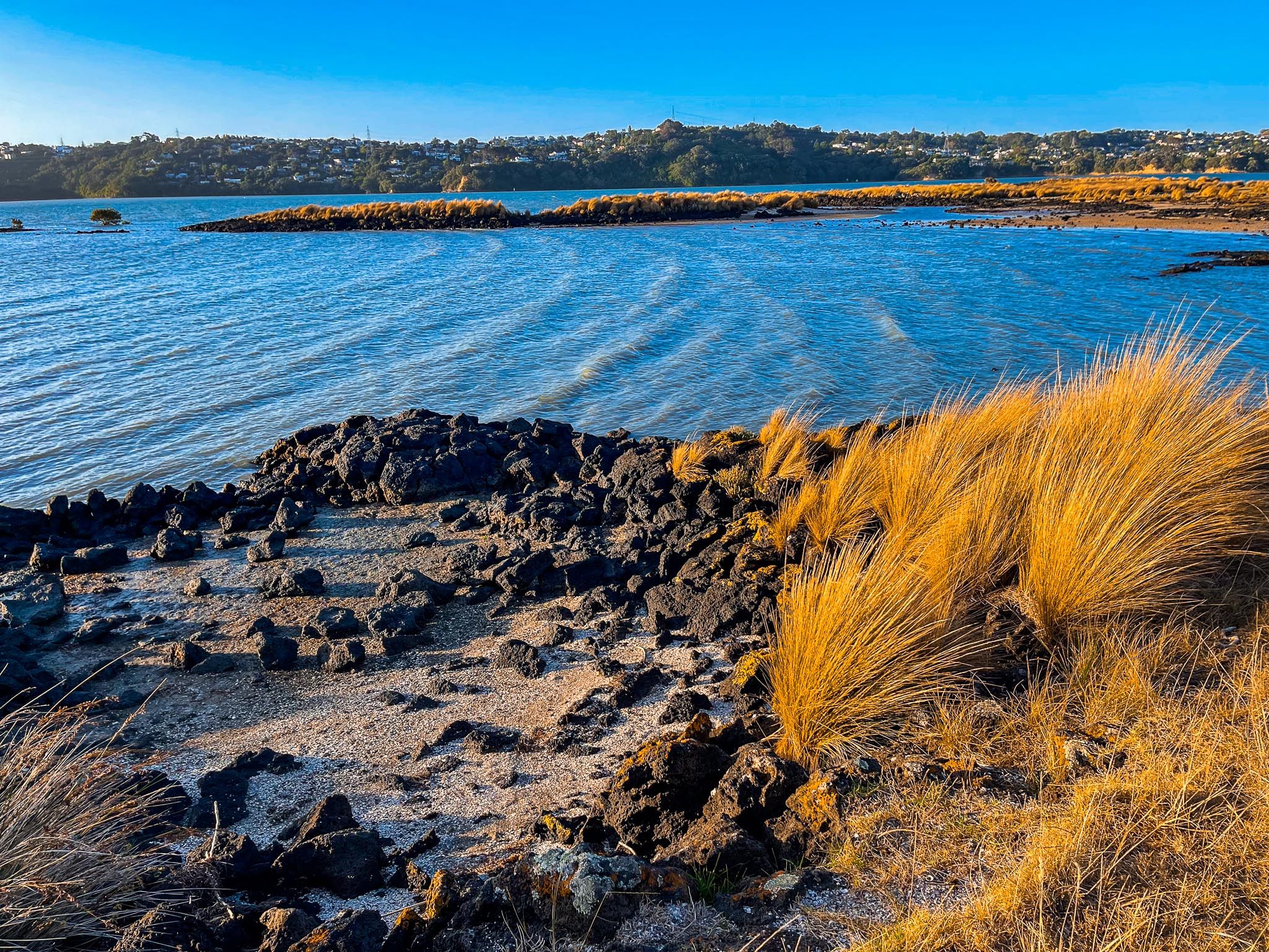
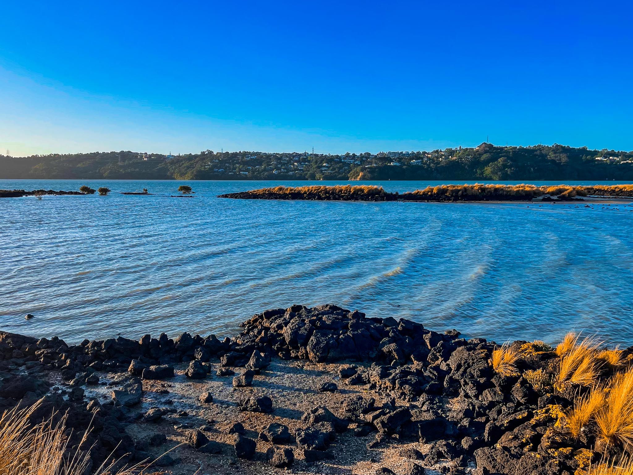
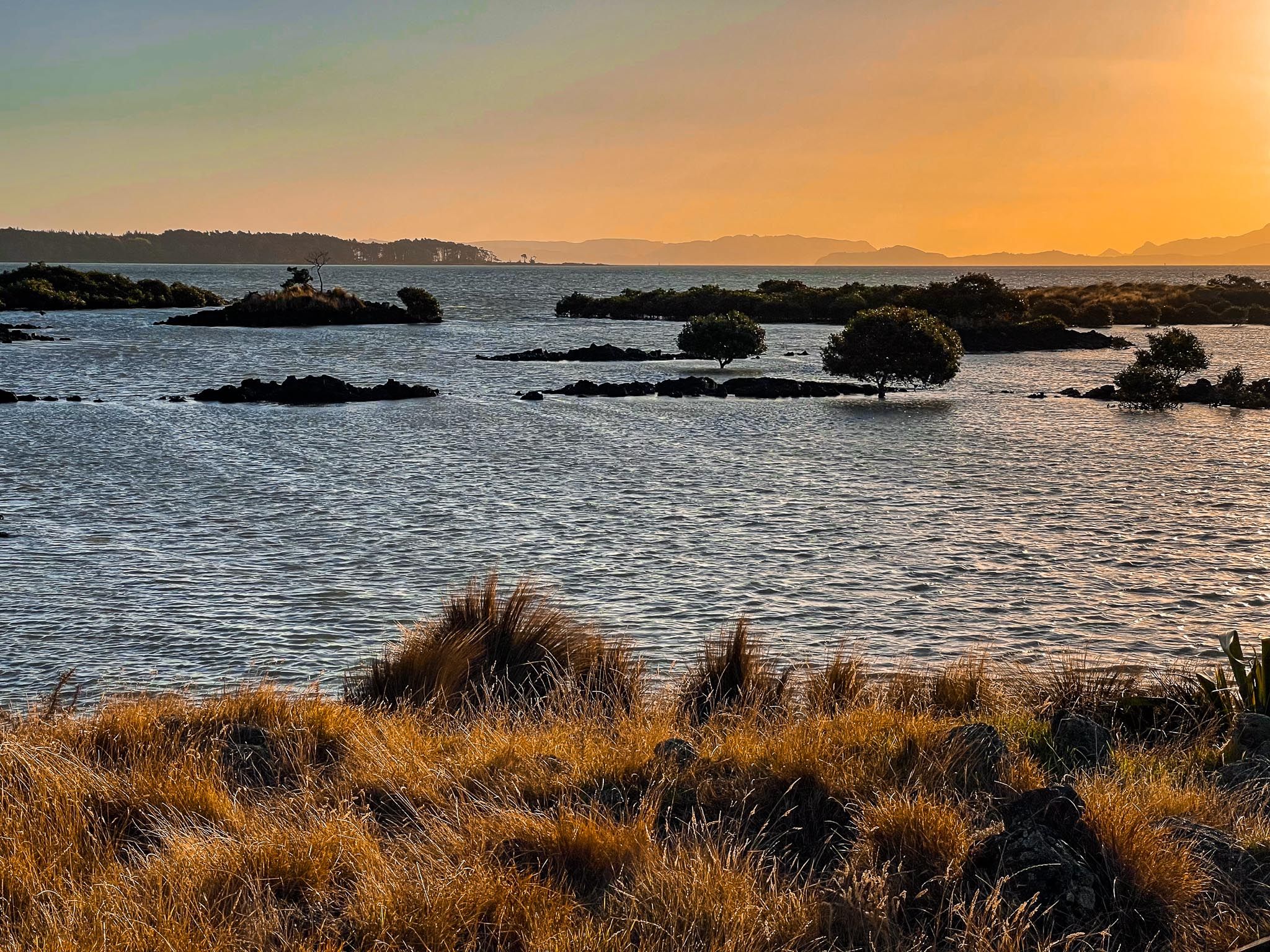
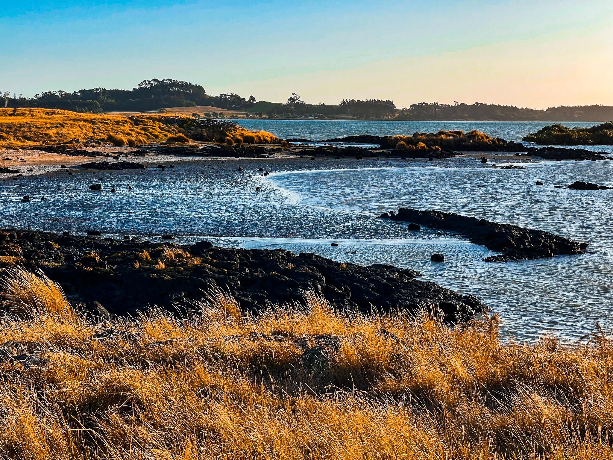
The park's coastal edge is a highlight, with walking and cycling paths that wind through restored wetlands and along the rocky harbour shore. These trails are a haven for birdwatchers, as the adjacent mud and sand flats serve as a crucial stopover for migratory birds. You can spot 86 different species, including kuaka (godwits), tōrea (oystercatchers), and royal spoonbills (kōtuku ngutupapa). Sheltered hides and information panels enhance the birdwatching experience.
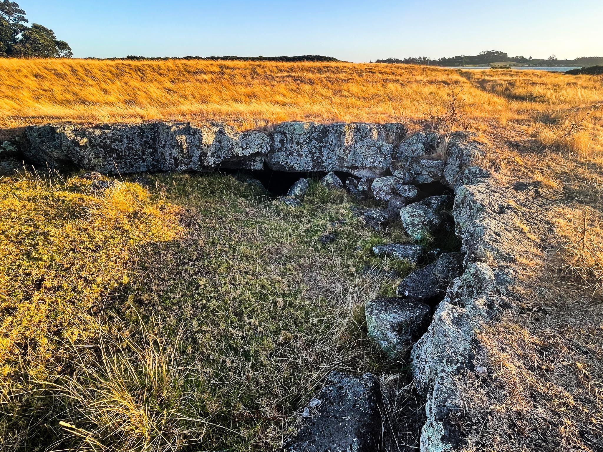
Rich Human History
Ambury Regional Park is steeped in human history, with archaeological evidence of centuries of Māori occupation, including coastal gardens and shell middens. Nearby high ground features several pā sites. European settlers acquired the land in the 1860s, converting it to farmland. In 1882, the Ambury English & Co milk company established a creamery on Wallace Road. Auckland City later acquired the land to buffer sewage treatment ponds west of Māngere Mountain. The park opened in 1987, following community use from 1973.
A Growing Coastal Greenway
Today, Ambury is part of a growing coastal greenway, with trails connecting it to Kiwi Esplanade, Māngere Lagoon, and Puketutu Island. Whether camping, cycling along the coast, picnicking by the water, or greeting a curious sheep, the park offers a memorable experience just 20 minutes from central Auckland.
Getting to Ambury Regional Park
You can access Ambury Regional Park from Kiwi Esplanade, Ambury Road, or Wallace Road, all located west of Māngere Bridge township. These routes lead to the park's northeast, central, and southeast areas. A large car park is available near the visitor centre and camping area at the end of Ambury Road.
For walkers and cyclists, the park connects directly to the shared path that runs west from Ngā Hau Māngere Bridge along Kiwi Esplanade, continuing south on Watercare Coastal Walkway to Māngere Lagoon, Puketutu Island and Ōtuataua Stonefields.