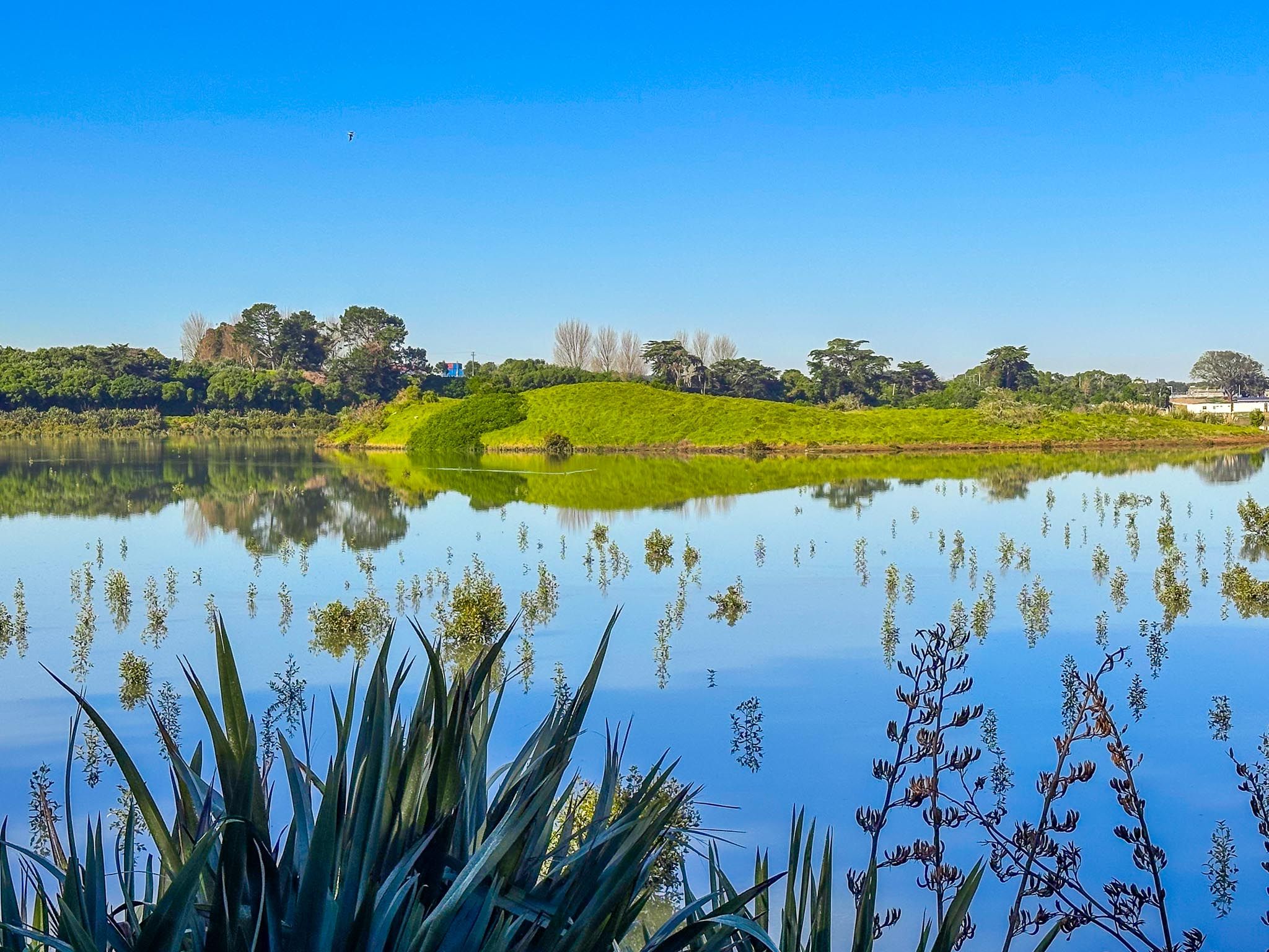
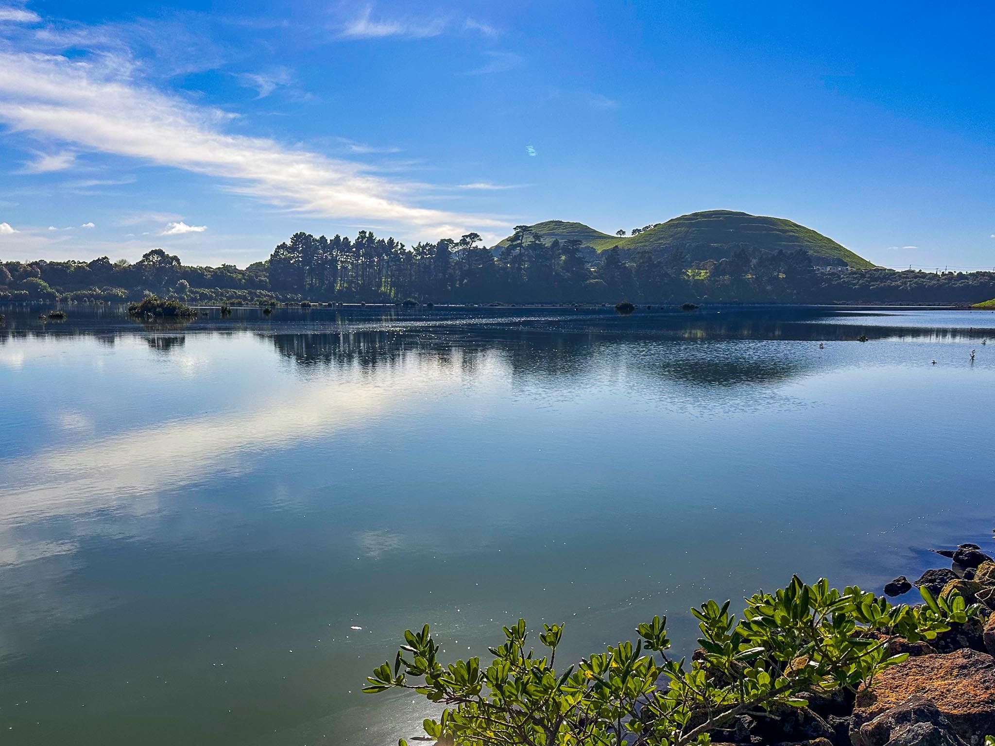
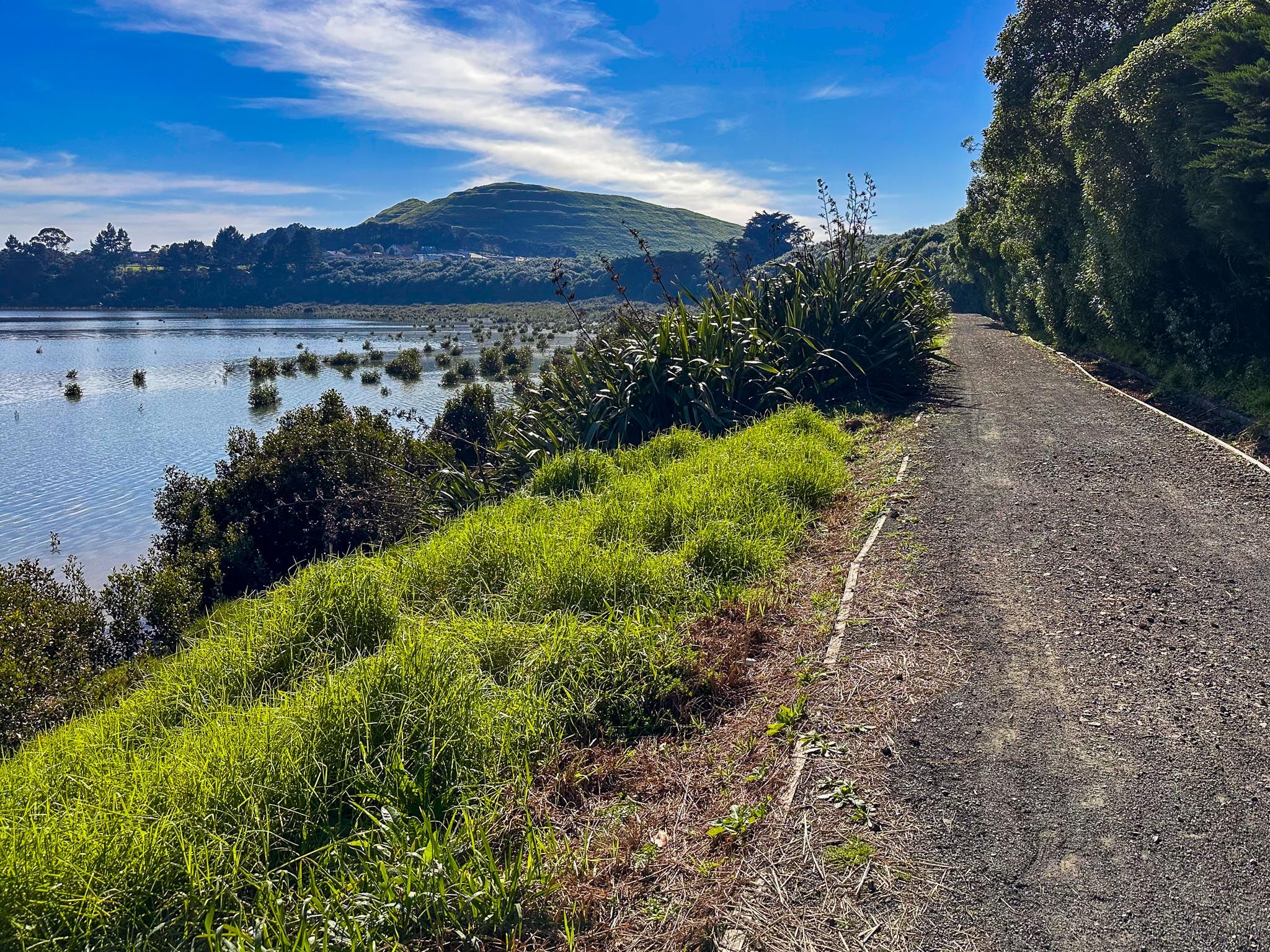
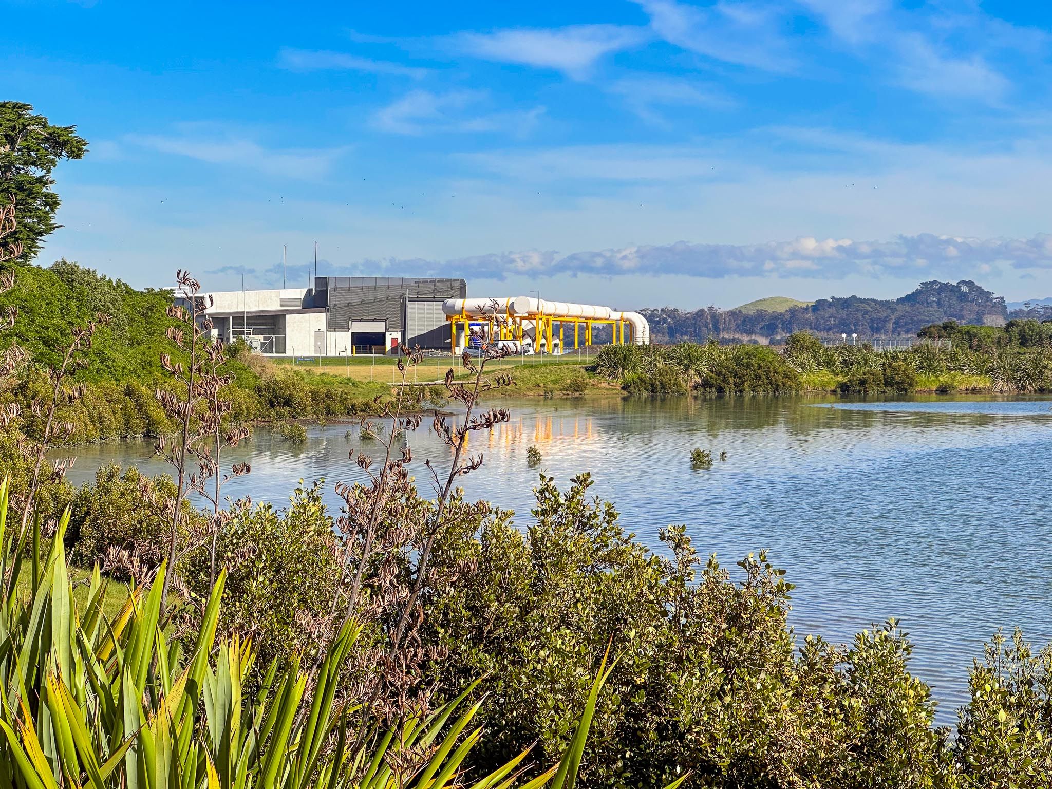
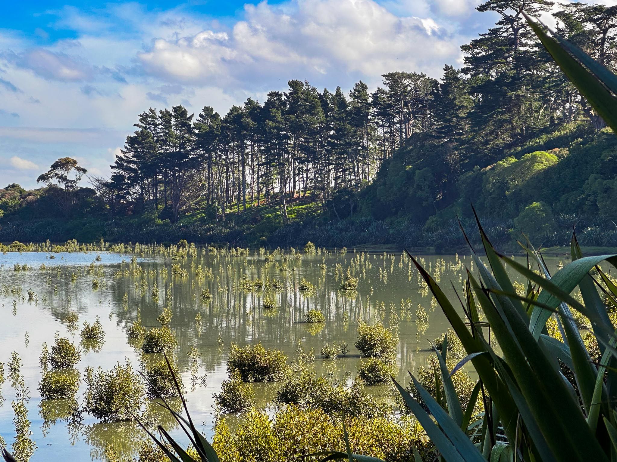
Fringed by native planting and circled by a winding walking track, Māngere Lagoon is one of the most distinctive features of Auckland’s volcanic landscape. Located in Māngere, east of Ambury Regional Park and south of Māngere Mountain on the edge of Manukau Harbour, the lagoon is a flooded volcanic maar (explosive crater). The maar was formed around 70,000 years ago, predating Māngere Mountain by 20,000 years. Rising sea levels 7,000 years ago converted it to a lagoon.
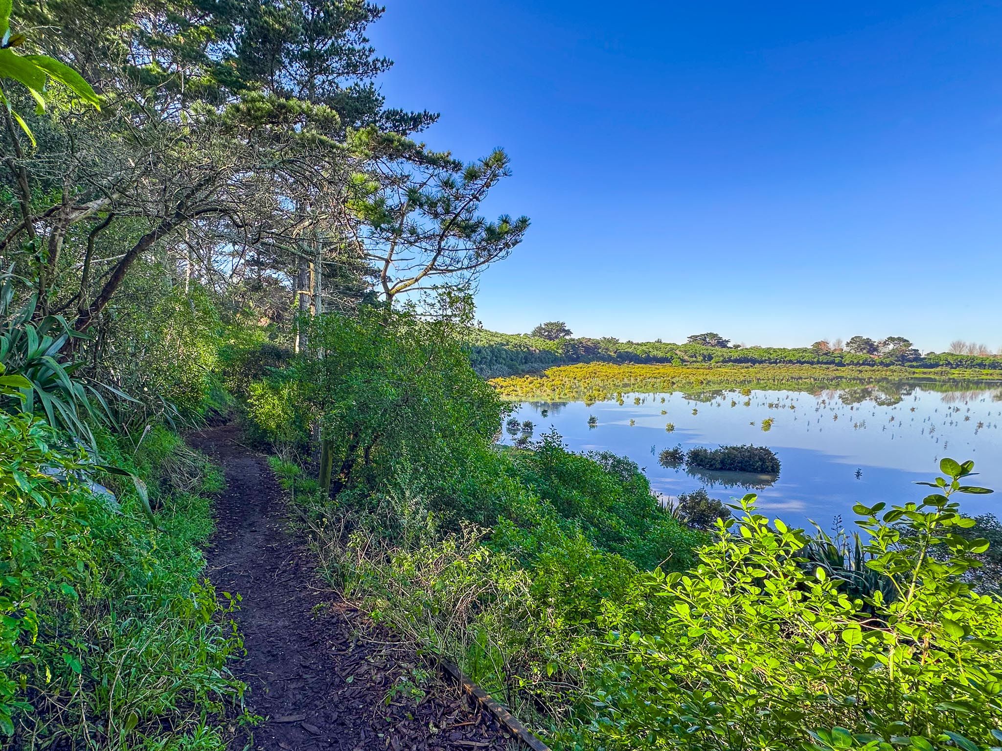
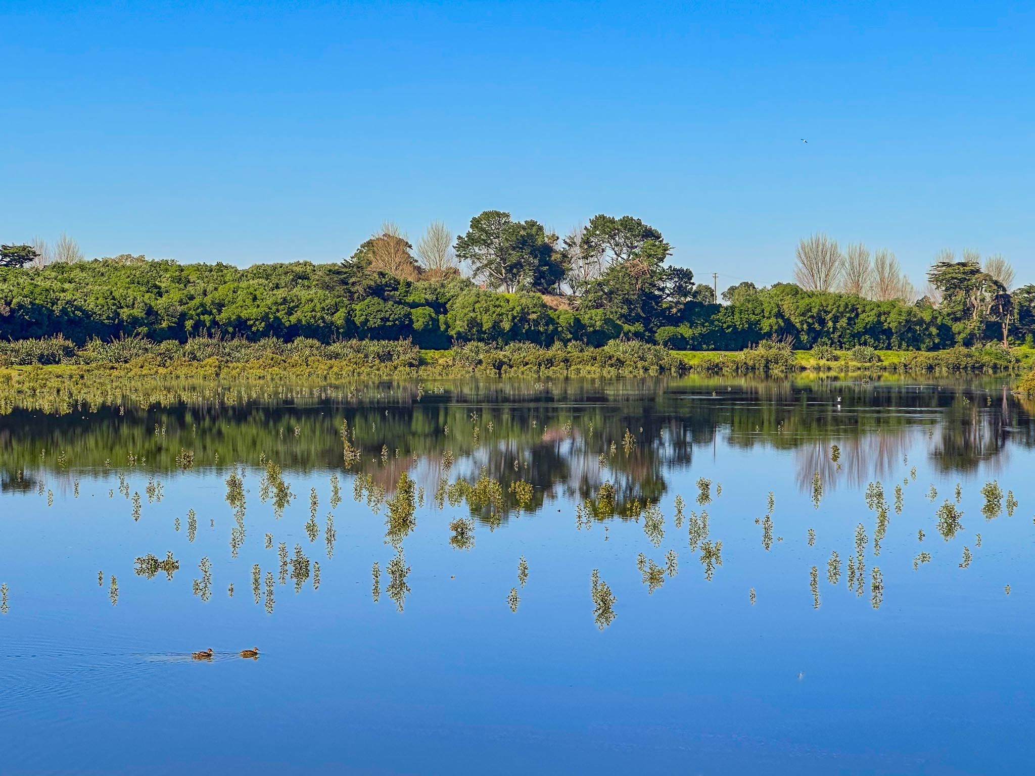
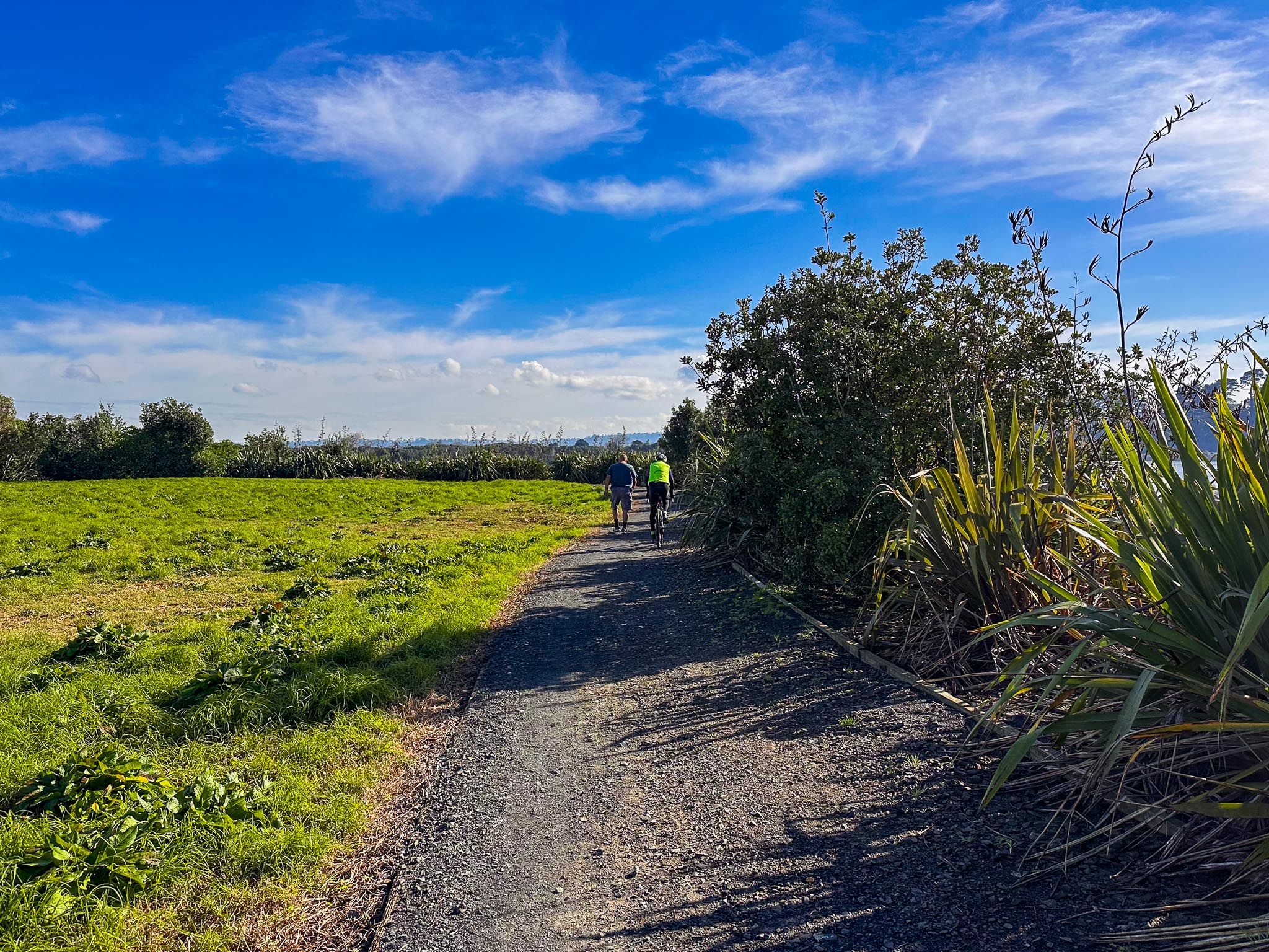
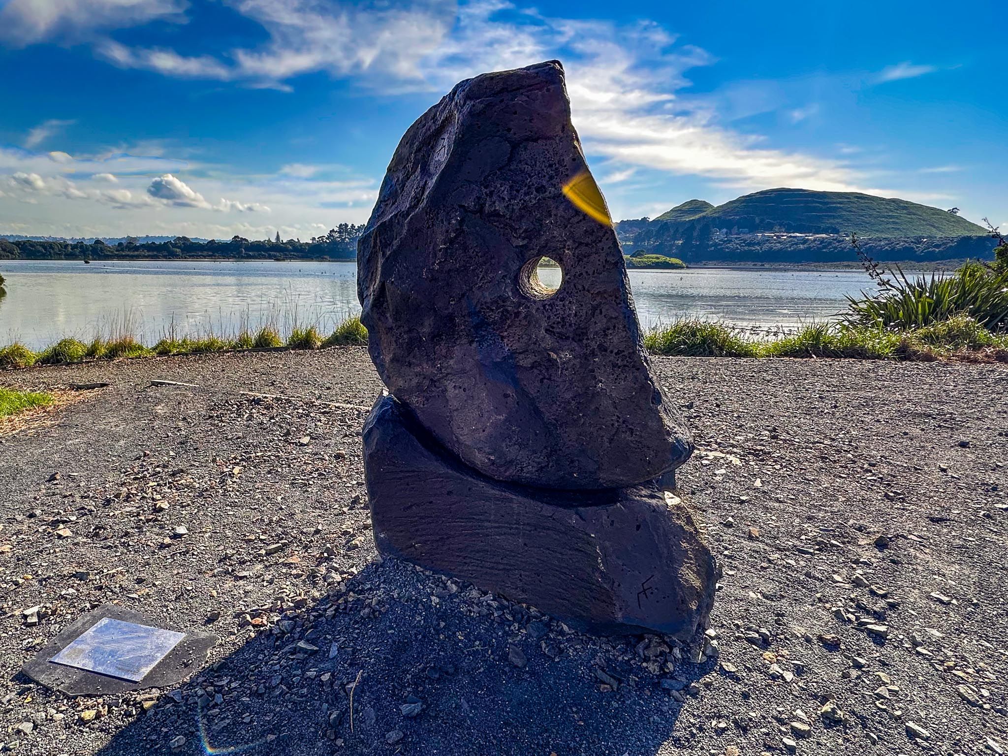
The loop track around the lagoon is a leisurely 1.6 km circuit. On a calm day, the water reflects the sky and the surrounding bush, while birds forage in the mudflats or perch on the edges. Interpretive signs explain the area’s geological and cultural significance.
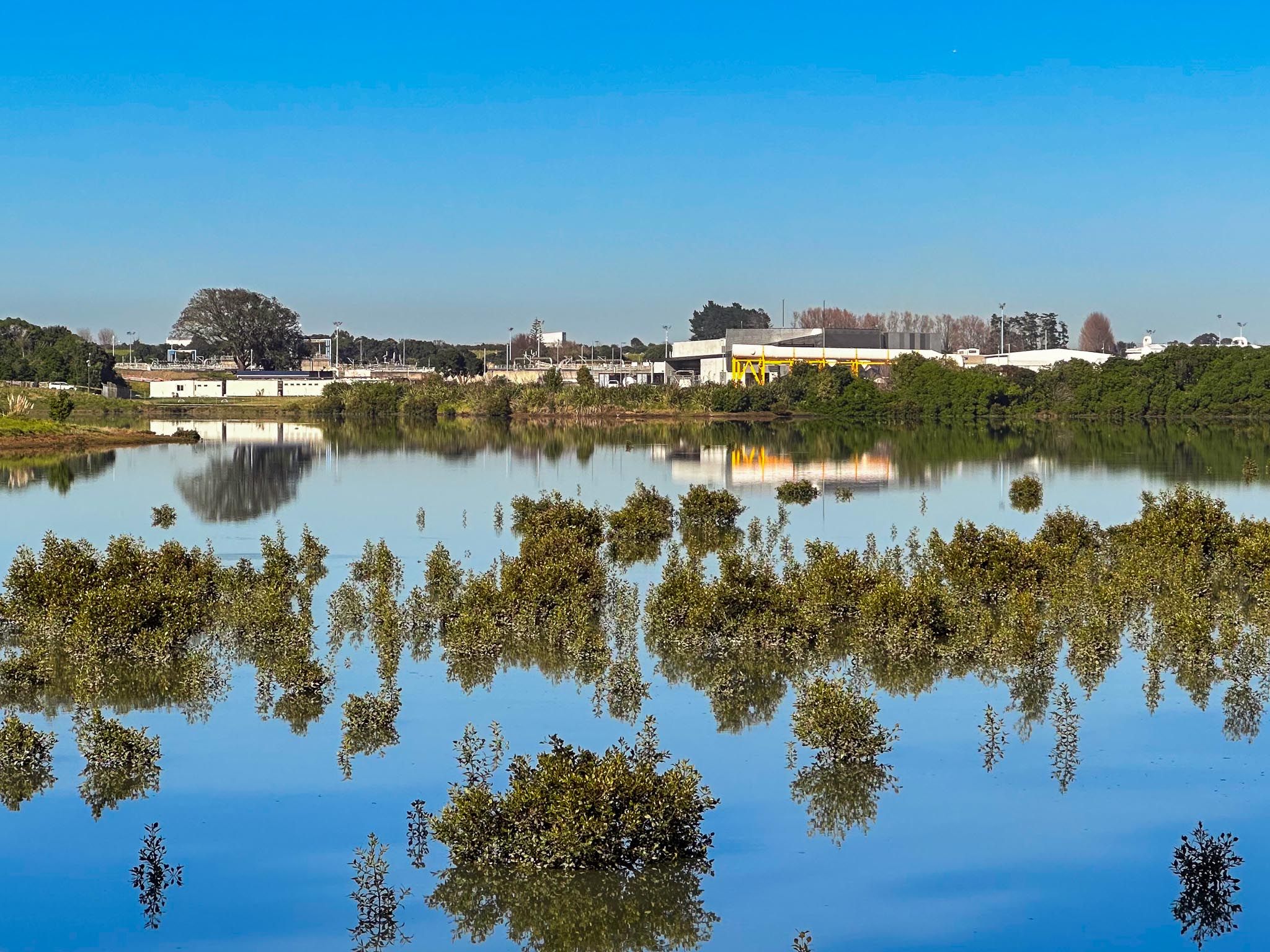
The lagoon was important to Māori as a food-gathering site and seasonal settlement. Archaeological finds show signs of past habitation along the crater’s rim. In the 1900s, the lagoon was converted to pasture and later used as a sewage oxidation pond. In recent years, however, it has been reconnected to the sea and carefully replanted as part of Watercare’s rehabilitation of the coast and harbour. It’s now a showcase of how natural systems can be restored within the urban environment.
The lagoon is also part of the Watercare Coastal Walkway that links Māngere’s coastline with recreational tracks and environmental initiatives. In spring and summer, you’ll see royal spoonbills / kōtuku ngutupapa feeding in the shallows, while tōrea / oystercatchers, kuaka / godwits, and pūkeko frequent the grassy edges.
You can access the Māngere Lagoon loop track from two main points. From Ambury Regional Park, follow the Watercare Coastal Walkway east past the bird hides and through the wetlands until you reach the lagoon loop track. For road access, there is a car park on the south side of the lagoon at the corner of Greenwood Road and Creamery Road.
