Explore the Sandymount Loop
Located at Sandymount on the Otago Peninsula, Dunedin, the Sandymount Loop Track is a scenic coastal walk with Lovers Leap natural bridge as a highlight. The Sandymount Loop track circles the base of Sandymount, connecting with paths leading to Sandfly Bay and the summit. The natural bridge is a must-see, picturesque geological feature, although is easy to miss from the track, with no signage.
Finding Lovers Leap
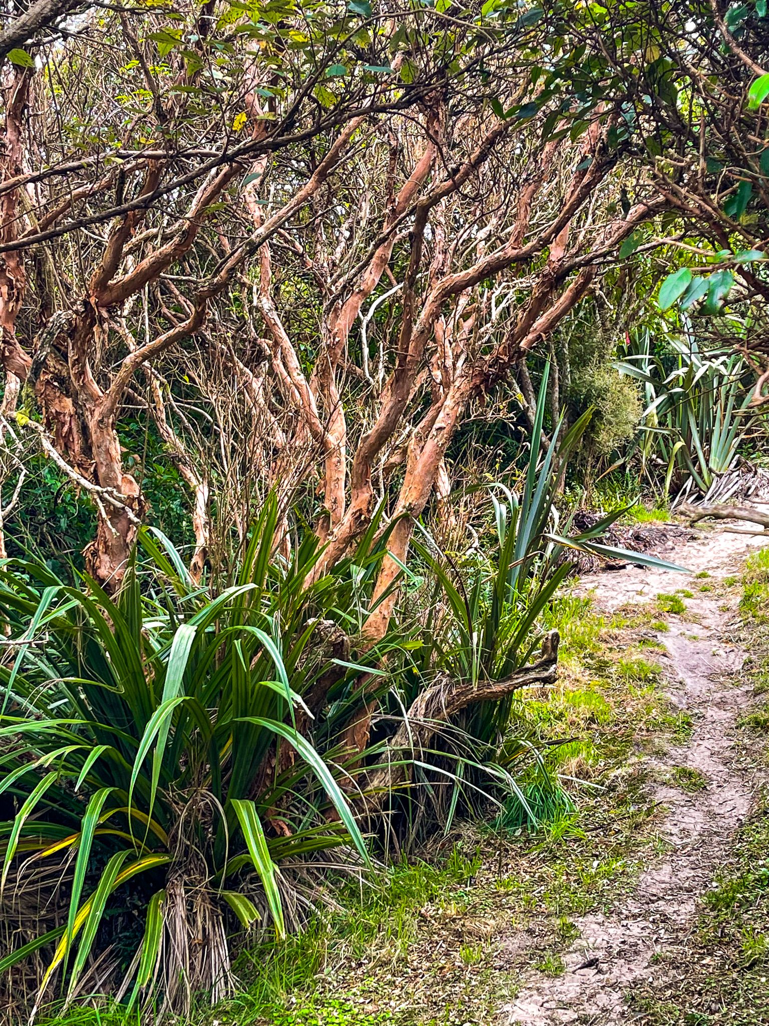
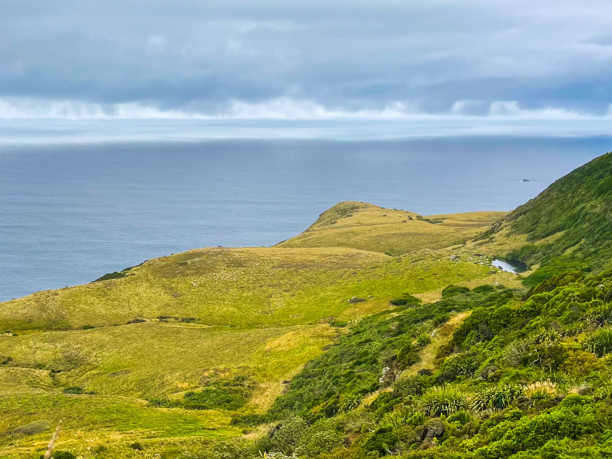
Starting from the Sandymount car park and heading east, the trail initially meanders through a section of regenerating forest. As you progress, the path opens up to a steep grassy slope on the southeast side of Sandymount, revealing stunning coastal views. From there, continue east on the track towards Lovers Leap.
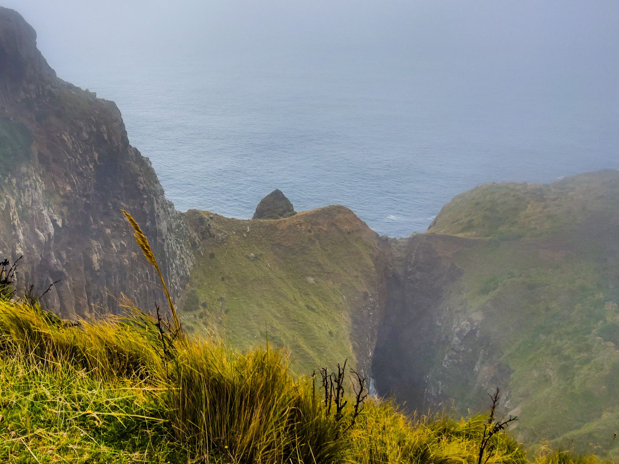
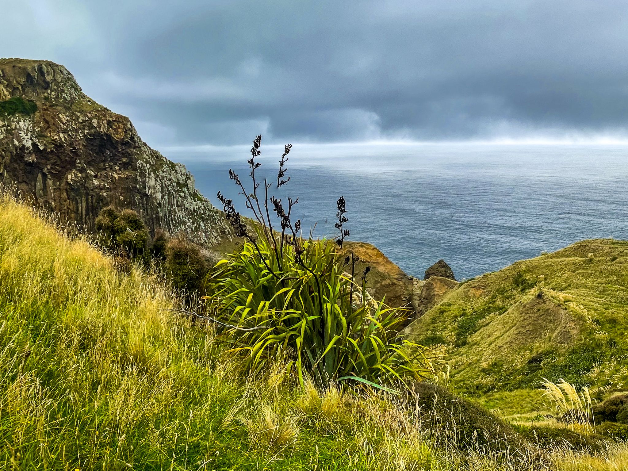
Lovers Leap is not immediately visible from the track. Although it is marked on Topo Map, Google, and the DOC website, there are no signposts or clear paths leading directly to a viewpoint. To make sure you don't miss this feature, head off the trail towards the coast when the slope levels out. After walking approximately 20 to 40 metres, you will approach the cliff edge, and a deep chasm unfolds, revealing the cliff extending eastward and Lovers Leap directly ahead. The view of Lovers Leap will become apparent before you reach any dangerous proximity to the edge.
How to Get There
To reach the Sandymount Loop from Dunedin, follow Highcliff Road until you reach Sandymount Road. Turn southeast onto gravel, Sandymount Road, and park at the end.
Other places to explore on Otago Peninsula include Larnach Castle, Allans Beach, The Pyramids, Victory Beach and Portobello.